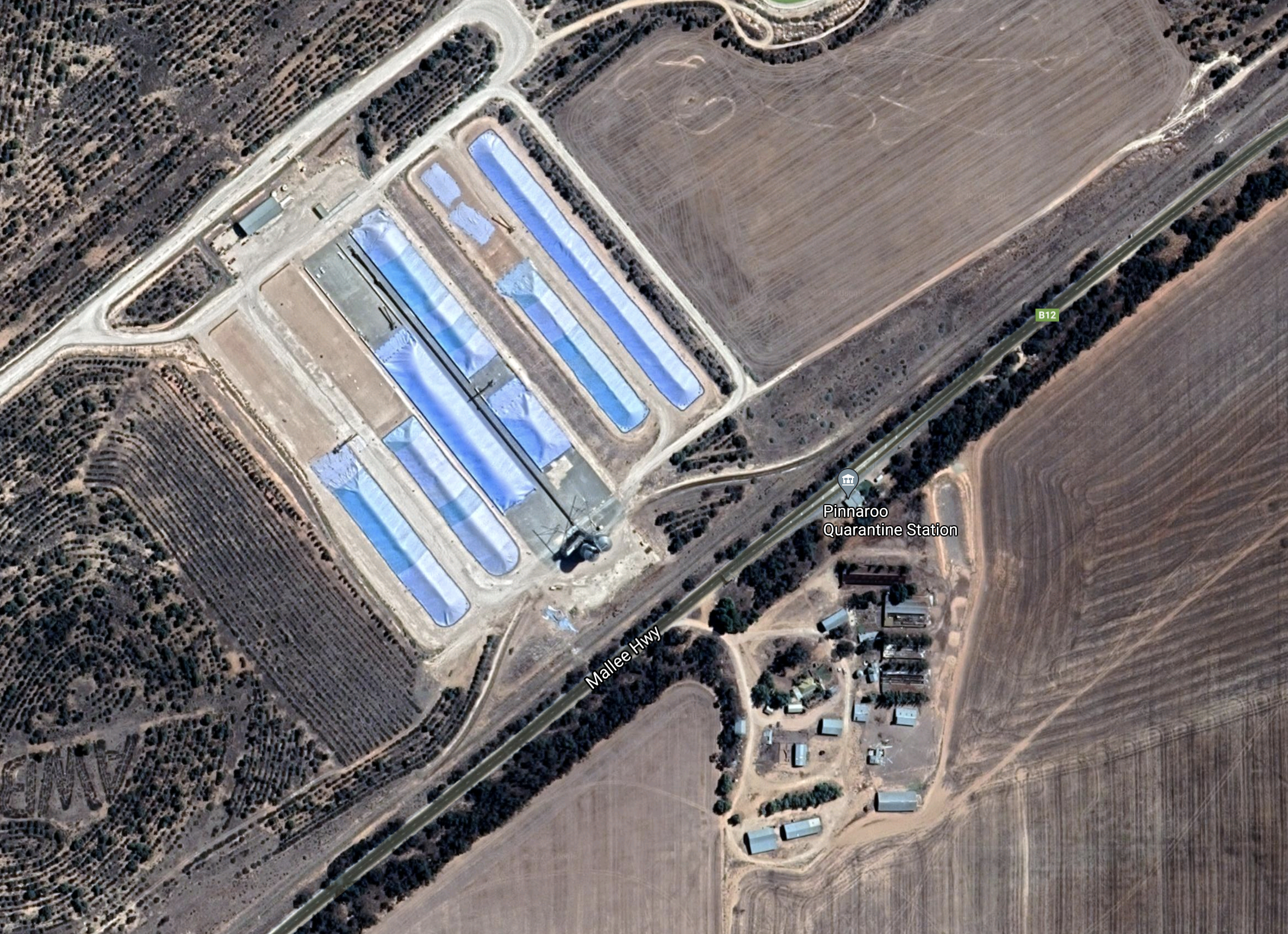
My final silo activation for the Silos On The Air (SiOTA) program for Saturday was Quarantine (Pinnaroo) VK-QRE-5 which is located near the Quarantine station on the Mallee Highway.
Above:- Map showing the location of Pinnarroo. Map c/o Google maps
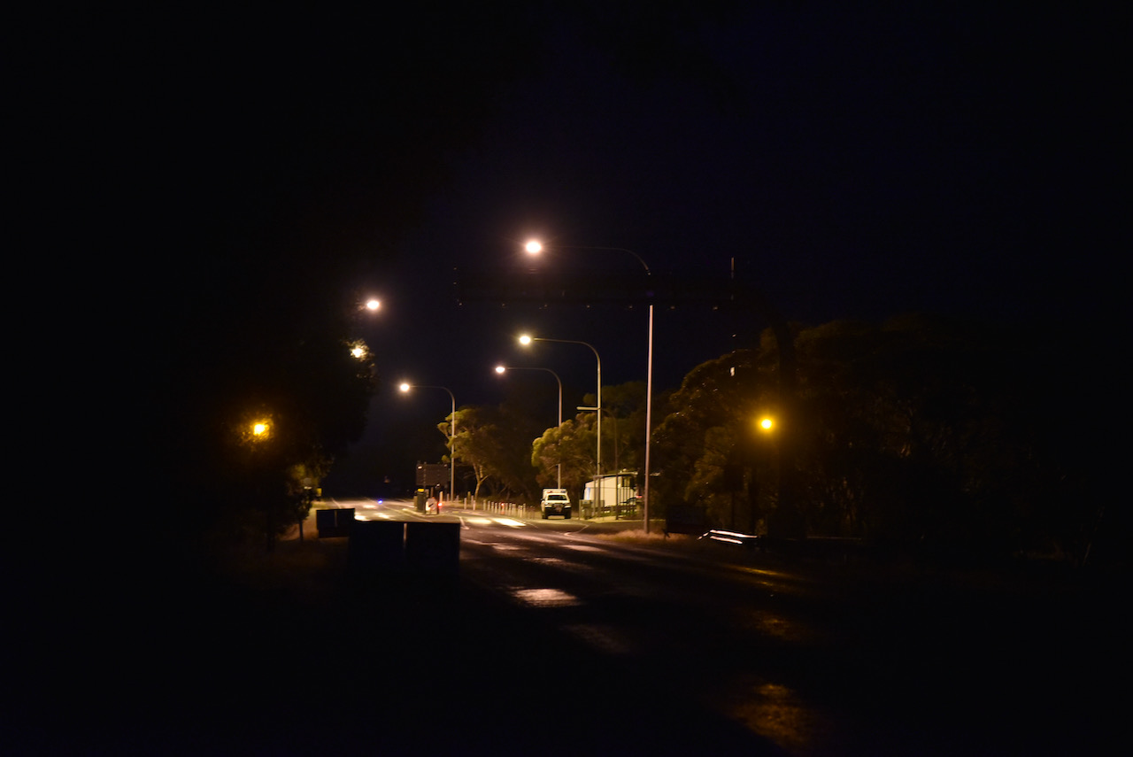
By the time I reached the silo it was totally dark. I pulled over to the side of the Mallee Highway, just short of the Quarantine station. This is also being used by South Australia Police at the moment as a COVID-19 checkpoint.
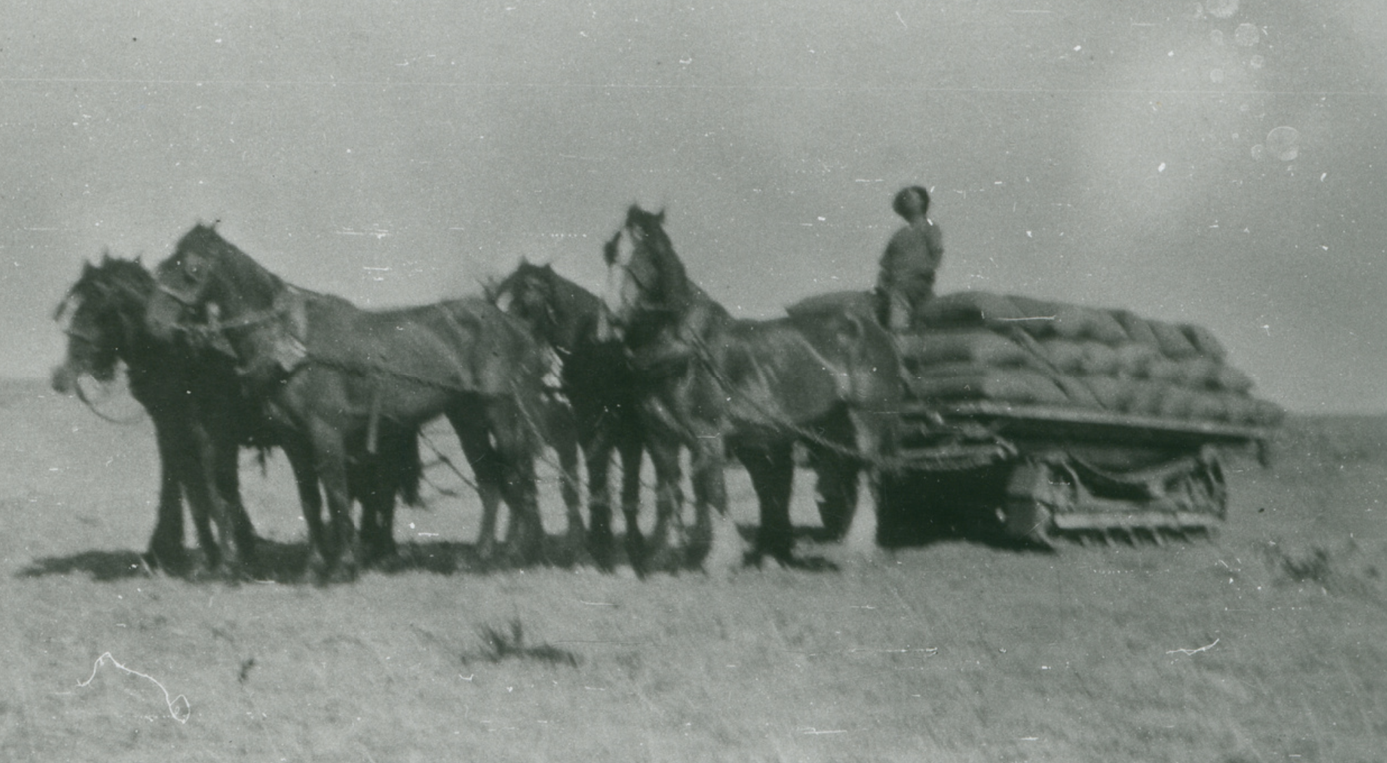
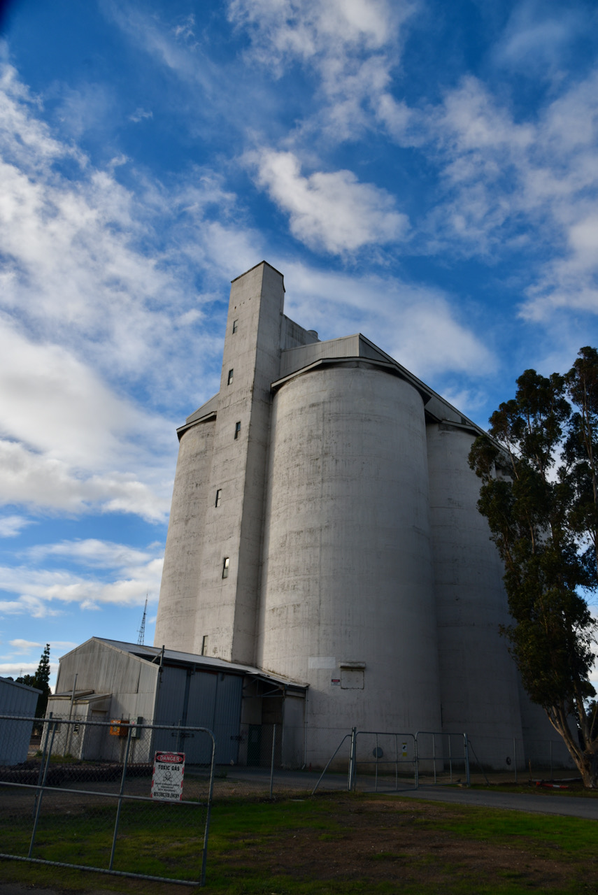
I was directly opposite the silo, but I only managed the blurry photo below due to it being pitch black. I was just short of the road block and pulled over on the side of the road. I was sure I might get a visit from a police officer to see what I was up to, but that didn’t happen much to my surprise.
From looking at the aerial view, this appears to be quite a big grain facility.
Above:- An aerial view of the silo. Image c/o Google maps
As time was really pushing on, and I had a 250 km trip home, this was a quick activation. I only operated on 80m, logging a total of 8 stations. First in the log was Nev VK5WG, followed by Marija VK5MAZ, and then Ian VK5IS as my third contact to qualify the silo.
I am sorry for not trying 40m and 20m, but I was getting tired and hungry and knew I had a big drive home. I drove back into Pinnaroo and went to the local roadhouse for a magnificent steak sandwich with the lot. I then hit the road and headed for Ashbourne.
THANK YOU to everyone who called me during the day during my elevn silo activations.
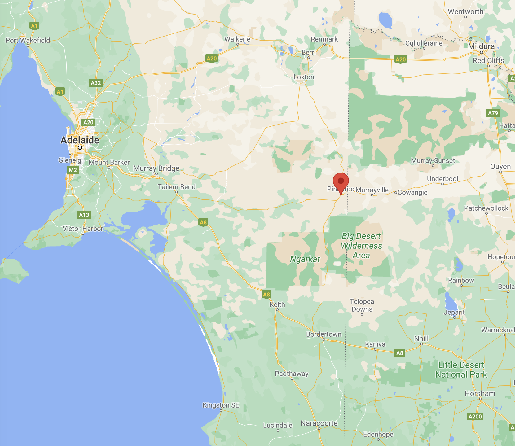
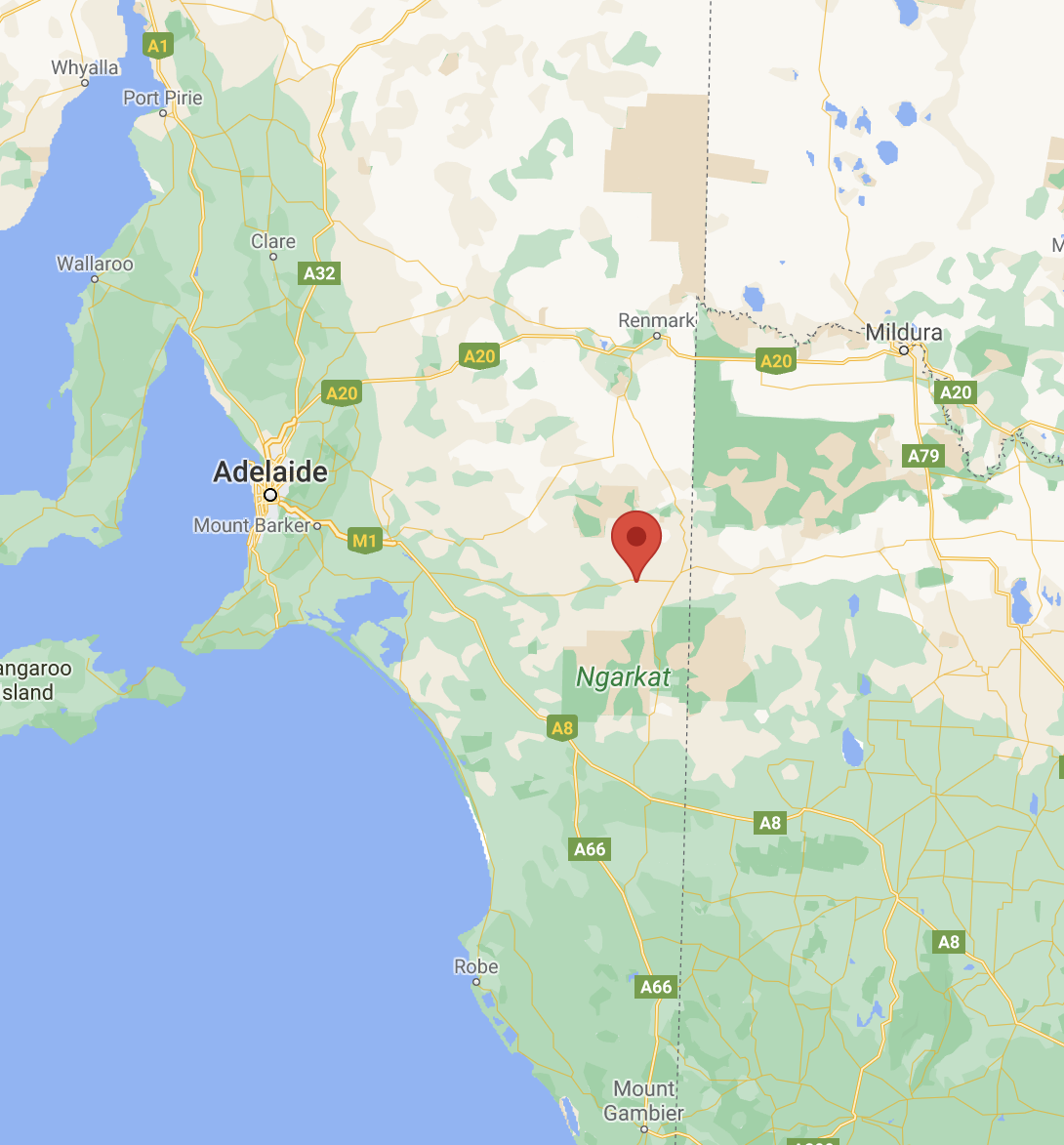
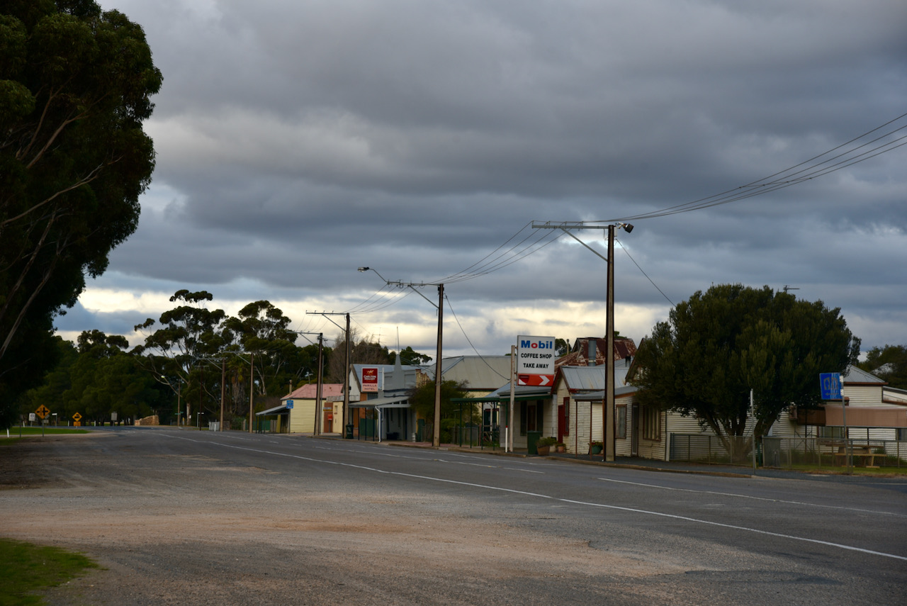
The next silos for me were the Pinnaroo silos VK-NO5. Pinnaroo is located about 241 km south-east of the city of Adelaide.
Above:- Map showing the location of Pinnaroo. Map c/o Google maps.
Pinnaroo is a major centre for the surrounding wheat, barley, sheep, and mixed farming area. The area was first settled in 1868 when the ‘Pinnaroo Run’ was established by William Butcher. Wool was carted over rough tracks either to the Murray River or to Kingston in the south-east of South Australia.
In 1885, the Commissioner of Crow Lands, Mr. Playford, and the Surveyor-General, Mr. G.W. Goyder, explored the countryside around Pinnaroo and a decision was made to open the land for agricultural settlement. In 1892, several Hundreds were surveyed. The Hundred of Pinnnaroo was proclaimed on the 4th day of January 1894. A Correspondent reported:-
“If it has proved a failure to the wealthy why ask the poor farmer to go there.”
In 1903, a Mr. H.M. Martin of Stonyfell described the Pinnaroo area as follows:-
“The whole of the 80 miles from Coonalpyn was silent, sombre and depressing. A great portion of the tracks was over heavy sandhills and gullies, relieved here and there by abandoned sheep stations. The stock had all been removed – such as had not died long before, and the empty huts and weed-grown sheep yards made the plain a sort of abomination od desolation. The hills and gullies were alike clothed with dark-coloured, unvarying, more or less worthless scrub, the pine trees and mallee being crooked and misshapen. Here and there a few sheoaks made a welcome change, but the dense scrub, without any lights and shadows, gave one the impression of a vast level plain. Fifty six years ago I inspected the Pinnaroo country and found it a worthless desert of white sand and drift. In 1865 I was again there to witness a few sheep starving to death…It is to be hoped that the Legislative COuncil will quash this extremely undesirable measure’.”
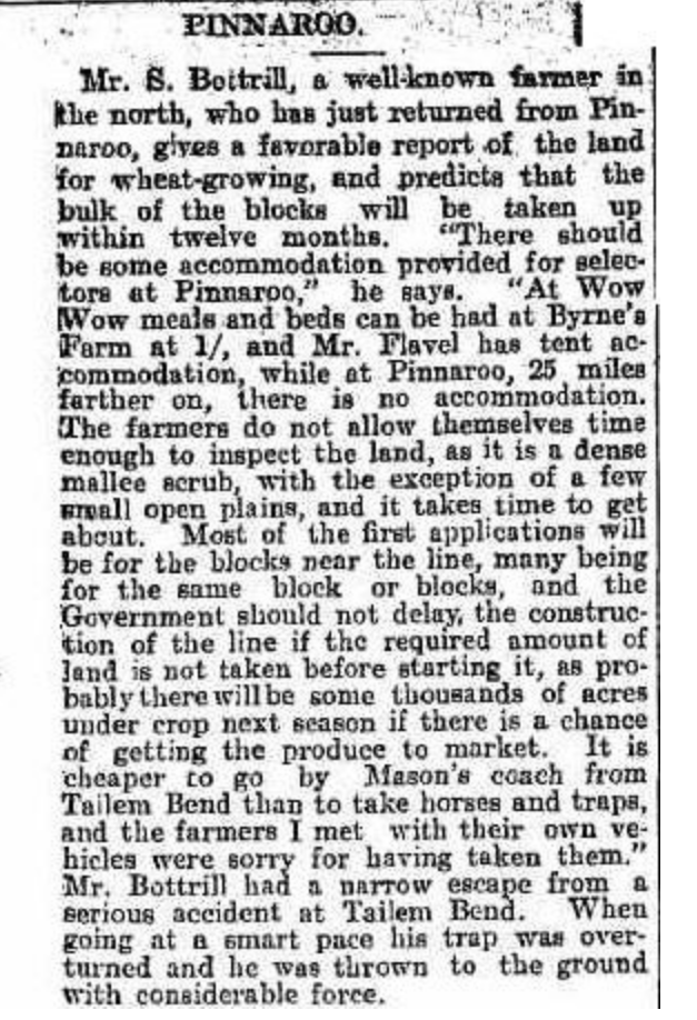
However there was a more favourable report in The Chronicle (Adelaide) on the 2nd day of July 1904, suggesting a ‘favourable report of the land for wheat-growing’.
Above:- from The Chronicle, 2/7/1904. Image c/o Trove
The town of Pinnaroo was proclaimed on the 17th day of November 1904. The Pinnaroo school opened in 1906.
At the 2016 Australian Census, the locality of Pinnaroo had a population of 712 of which 547 lived in and around its town centre.
There are various theories on the origin of the name Pinnaroo. It is believed that the name derives from the aboriginal word ‘pinaru’, a Ngarkat tribal name for the district. Others suggest it is a corruption of the aboriginal word ‘peintaru’ meaning ‘limestone’. While others suggest it is an aboriginal word meaning ‘big men’.
The video below which I found on You Tube will give you a good feel of Pinnaroo (there is no sound on the video).
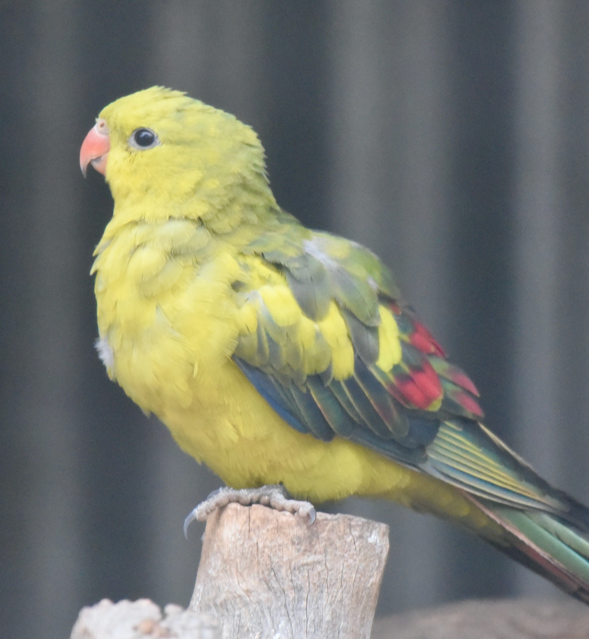
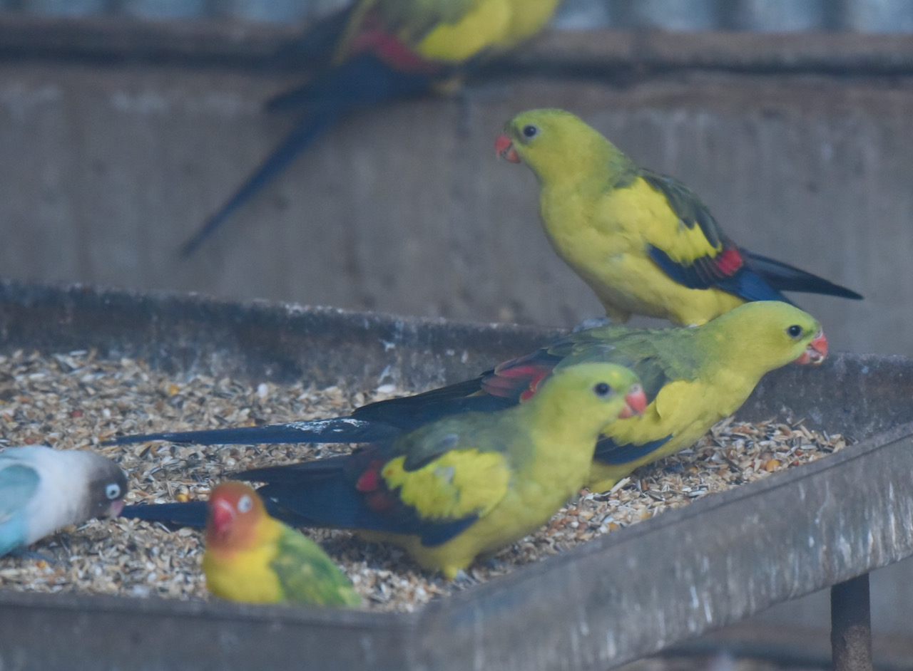
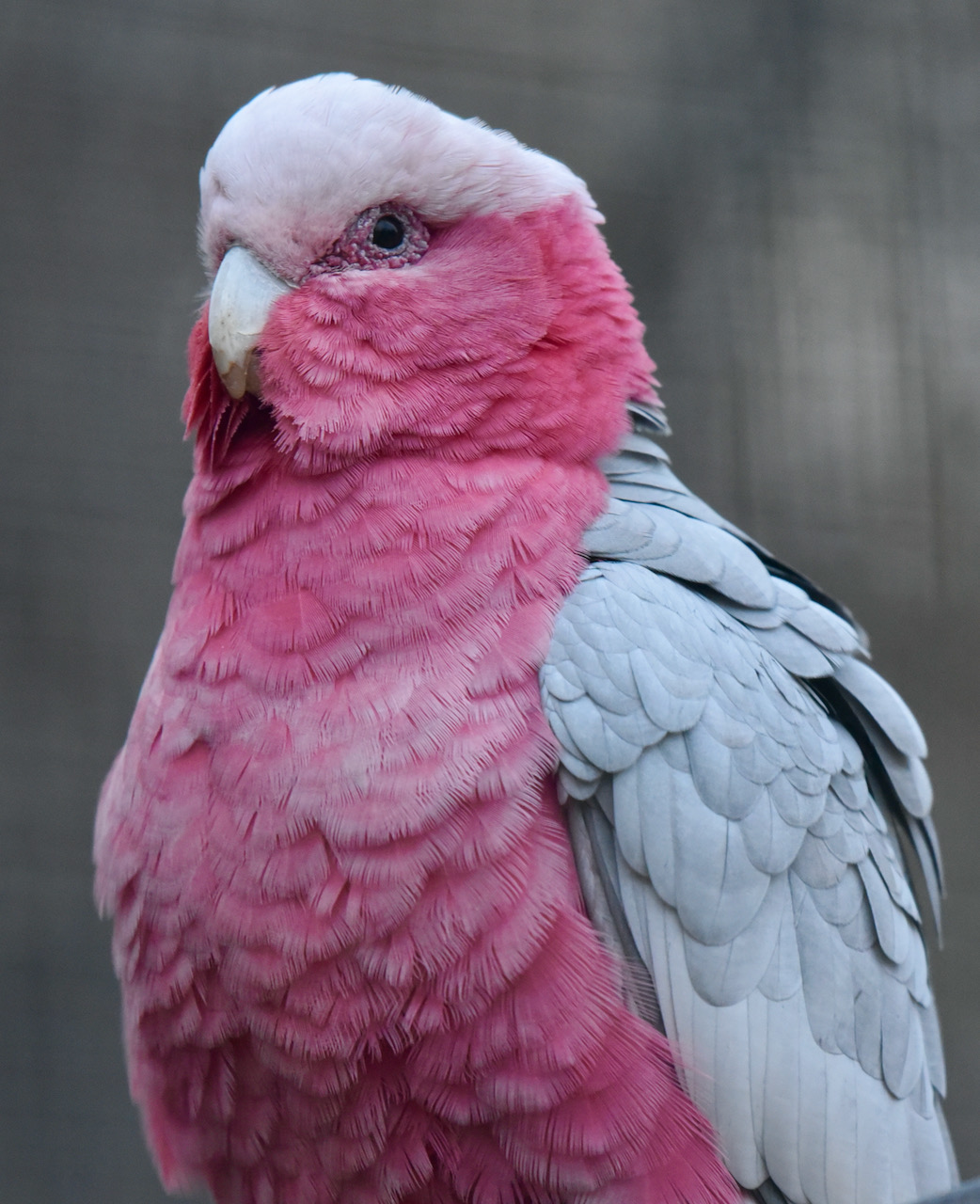
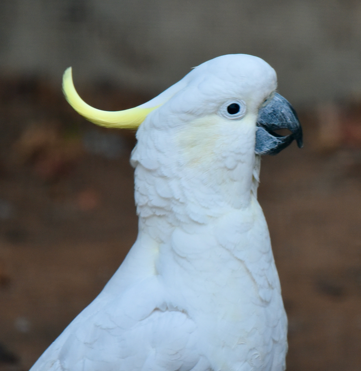
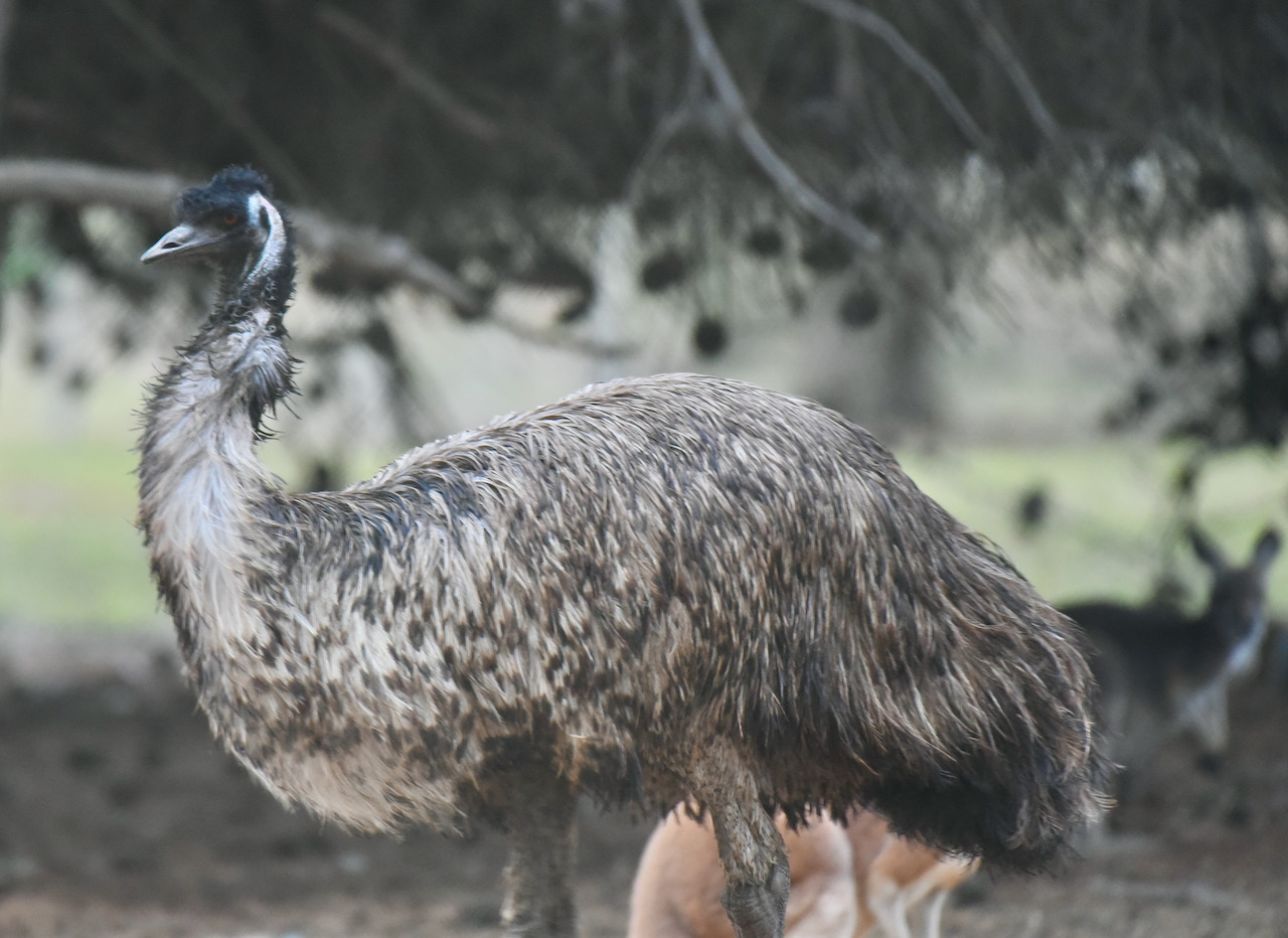
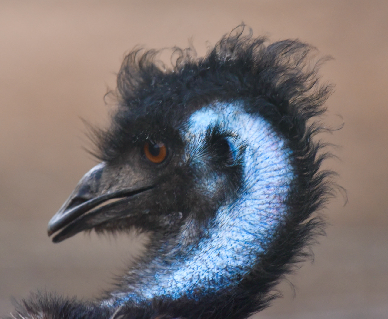
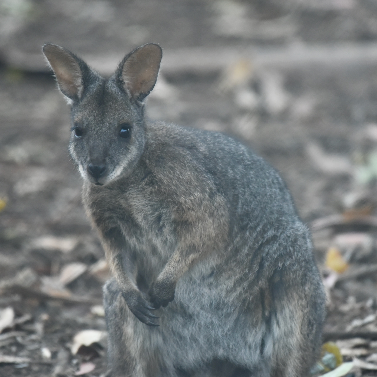
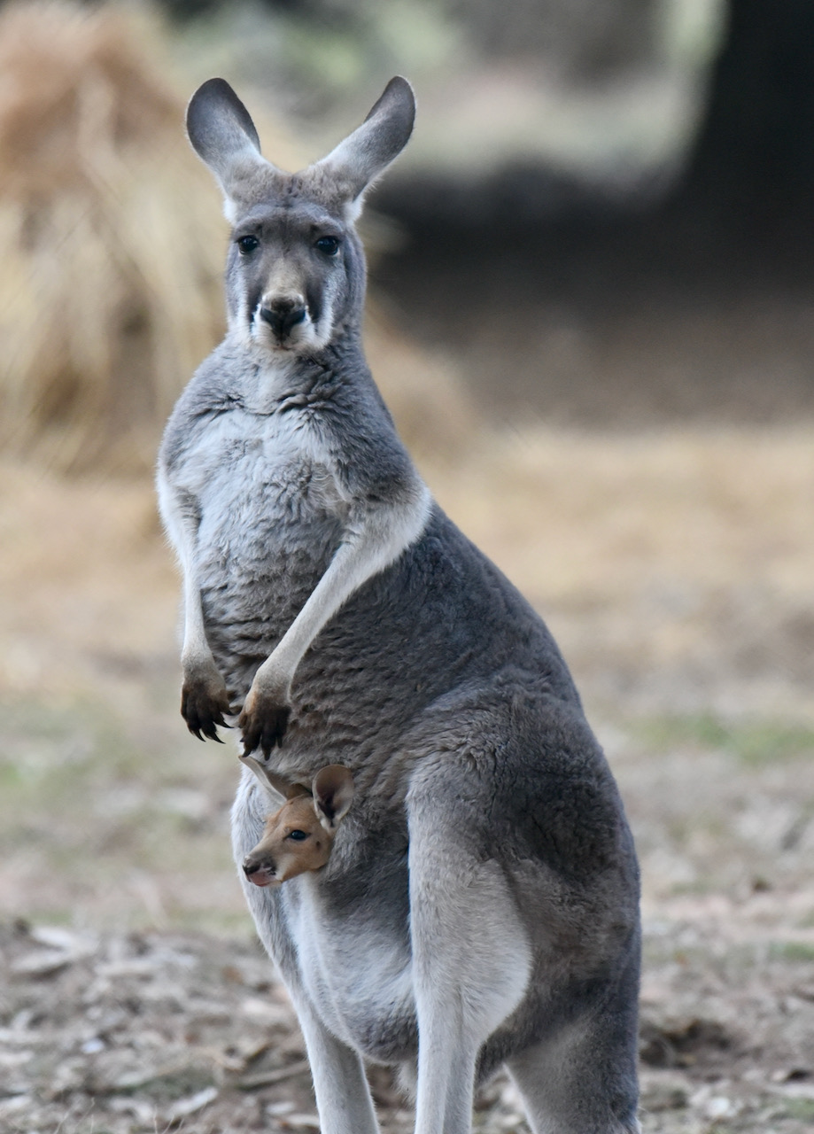
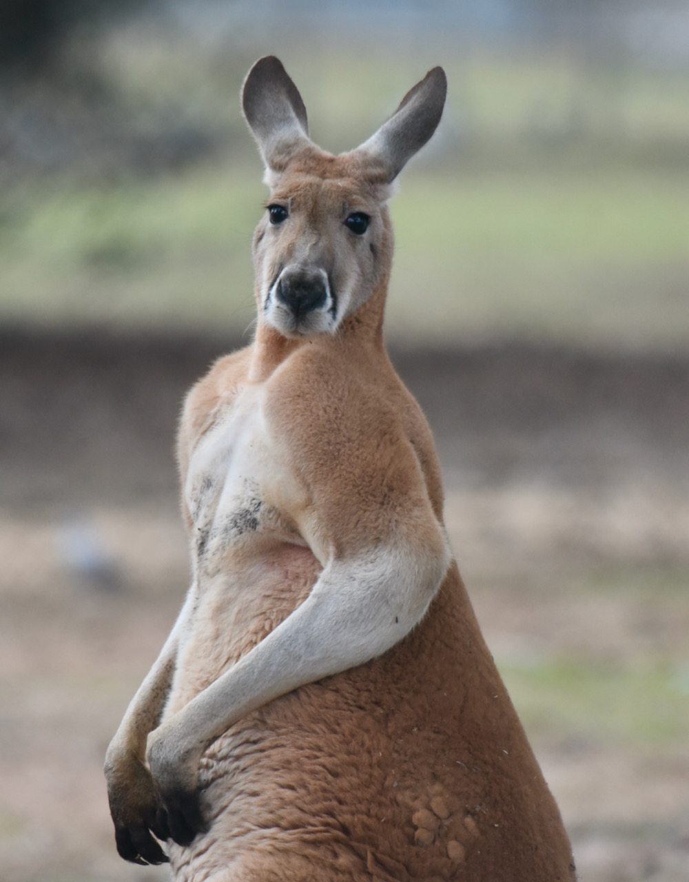
Prior to heading to the silo I visited the Pinnaroo Wildlife Park which is opposite the caravan park on South Terrace. Marija and I have been here previously and always pop in and make a donation to have a look at the various native birds and mammals.
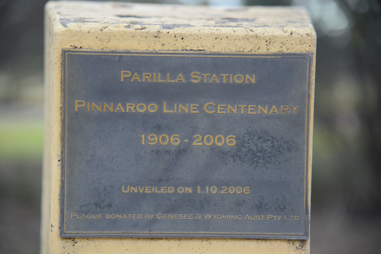
The Pinnaroo railway line ran east from the Adelaide-Melbourne line at Tailem Bend to Pinnaroo. The line continues into Victoria to Ouyen where it joined the Mildura line. The line opened on the 14th day of September 1906 and was extended to the South Australia-Victoria State border on the 29th day of July 1915. In May 1995 it was announced that the line to the west of Pinnaroo would be converted from broad gauge to standard gauge. Work was delayed until 1996 due to a large grain crop. A small part of the line was converted in 1996 but was converted back for the 1997 grain harvest. To continue the journey to Adelaide, the grain was transhipped at Tailem Bend.
On the 2nd day of July 1998 the last broad gauge train ran on the track. The line was reopened on the 25th day of November 1998. Due to the Victorian line remaining as broad gauge, trains could not operate over the entire length of the railway. Pinnaroo was a break of gauge point. Sadly the line closed in July 2015, with Viterra announcing that not more grain would be carried by rail. Ironically, as the South Australian line closed, the Victorian State Government was upgrading its end of the line for regional freight.
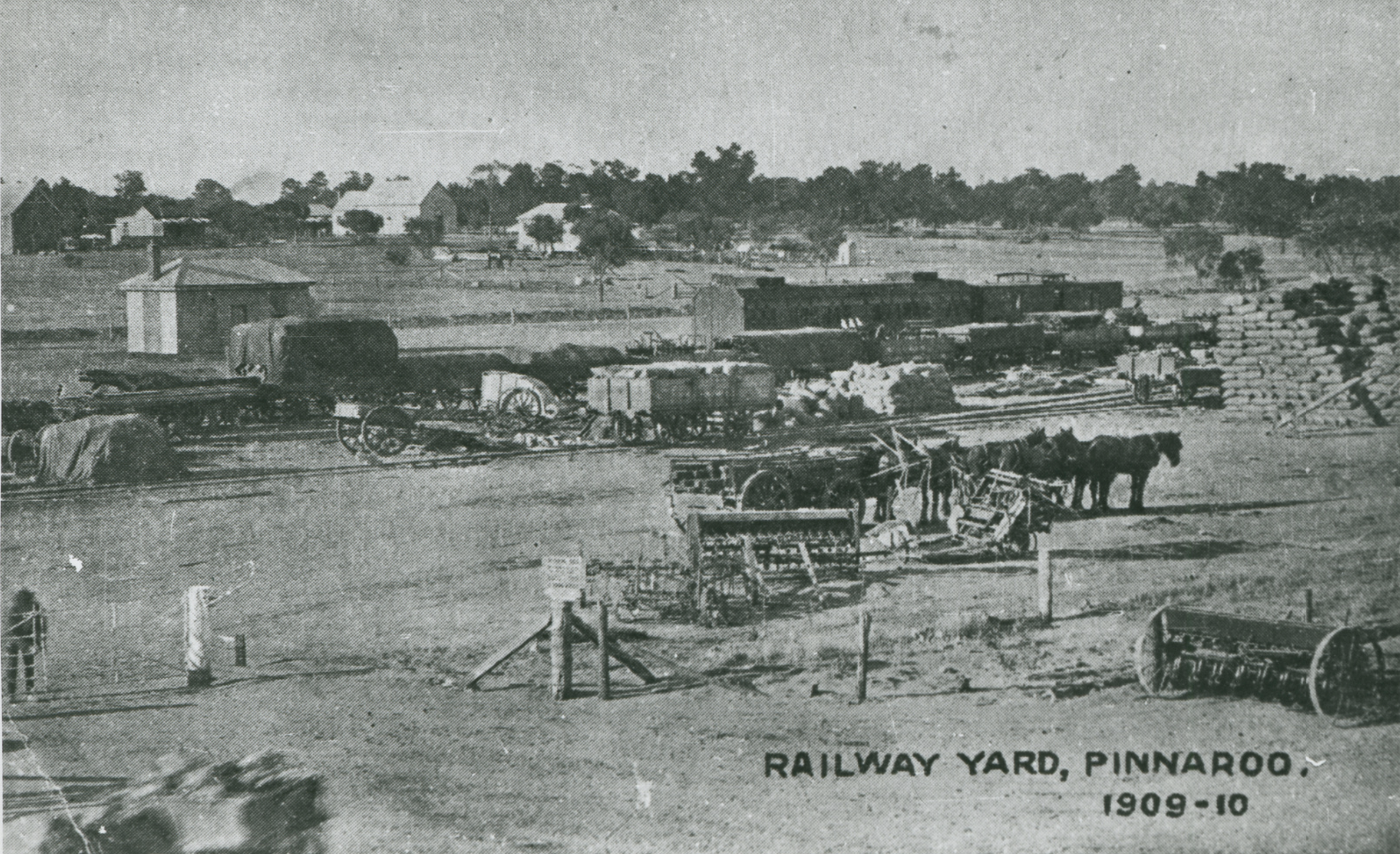
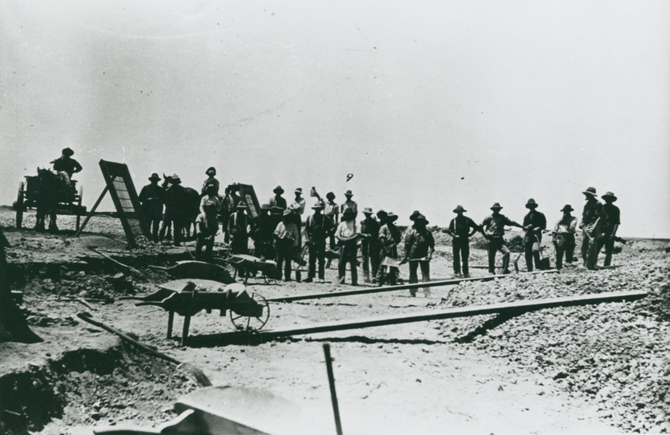
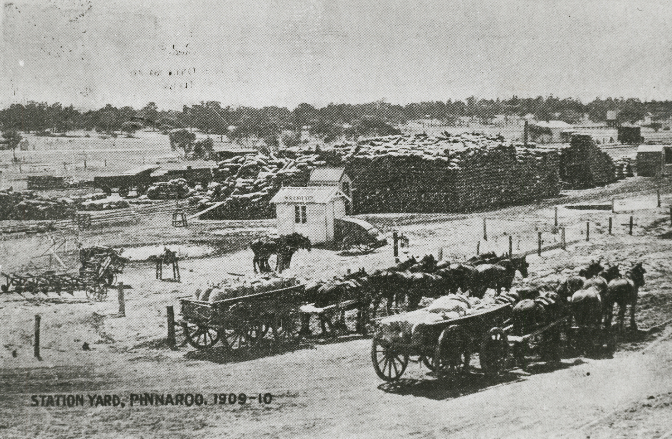
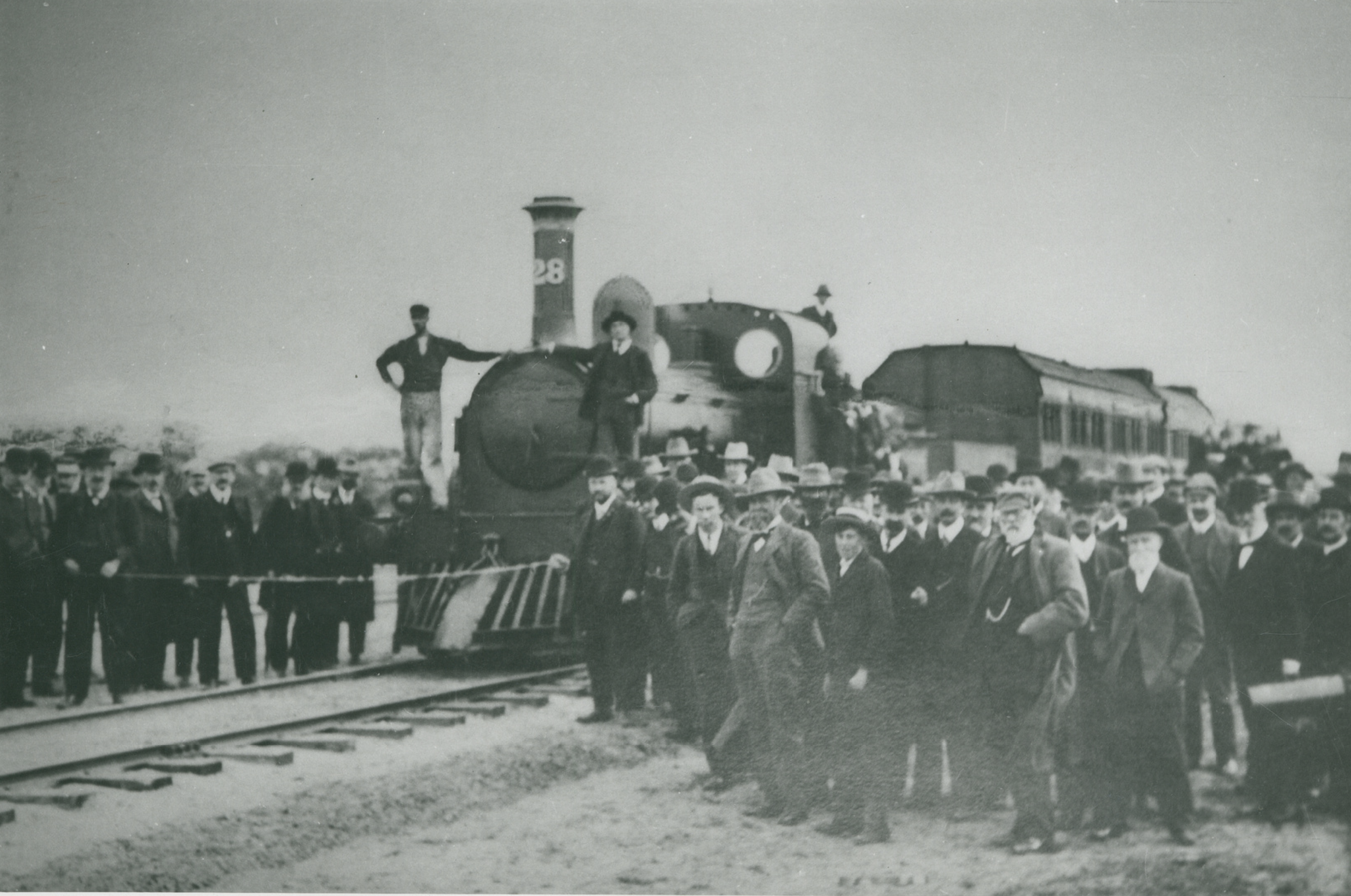
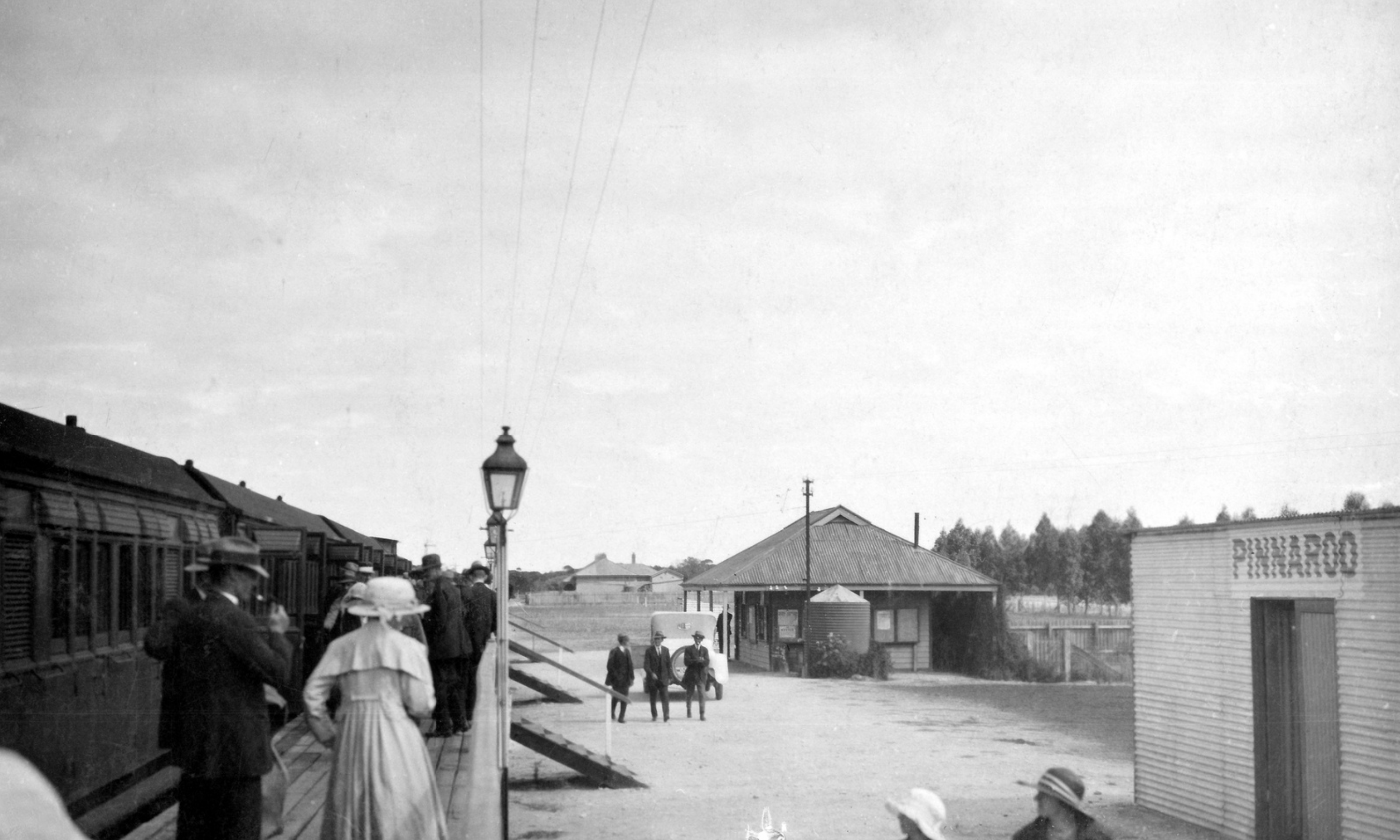
The photos below (c/o Trove) show the Pinnaroo line and railway station & yards.
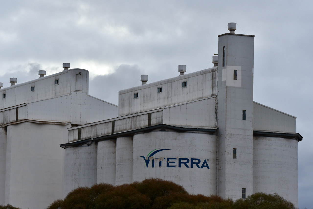
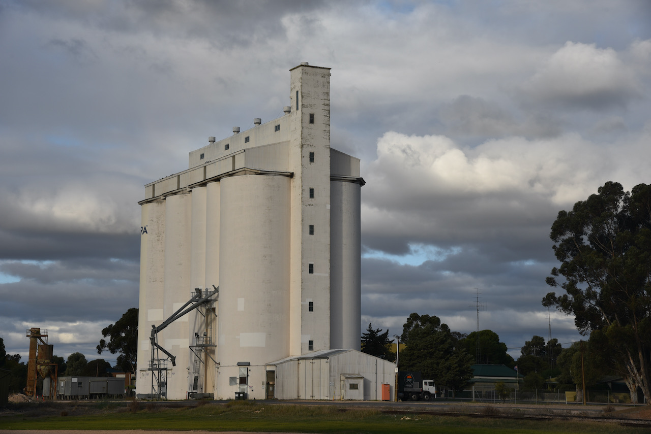
I then headed to the silos which are located on Silo Road on the western side of the town. They are run by Viterra. The Pinnaroo area was subject to a drought between 2016 – 2019. Heavy rain fell in June after the last heavy winter/spring rain fell in September 2016. Local grain farmers were extremely happy.
First in the log was Brett VK2VW, followed by Marija VK5MAZ, and then Ross VK3BEL. I had qualified the silo. I went on to log a total of 12 stations on 40m from VK2, VK3, VK5, and Vk6. It was nice to get Peter VK3ZPF in the log. This was Peter’s first every silo chase. I was also very pleased to speak with John VK6WC all the way over in Western Australia.
I then moved to 3.610 on the 80m band and logged 6 stations from VK5 and New Zealand. I was very pleasantly surprised to log Matt ZL4NVW on 80m.
Time was really marching on, so I packed up and headed to my final silo for the day, just a few km up the Mallee Highway.
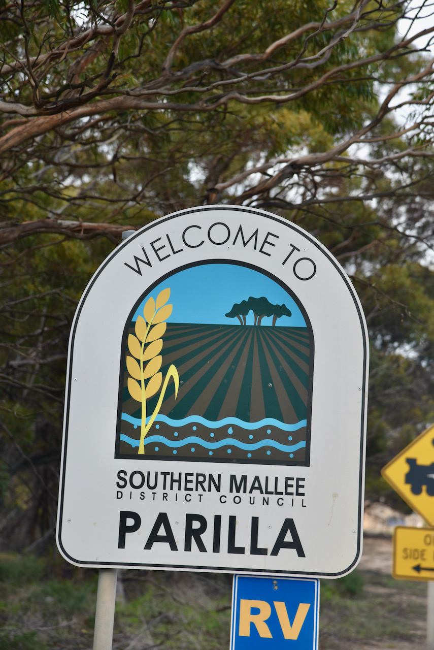
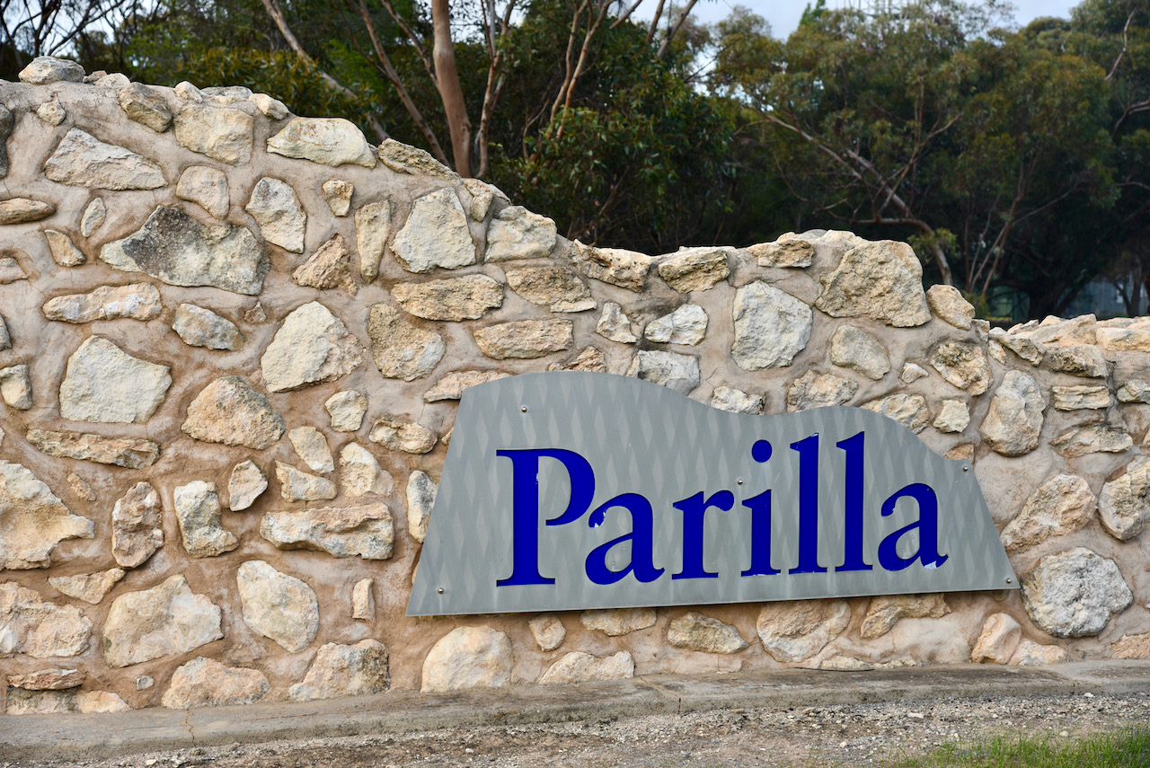
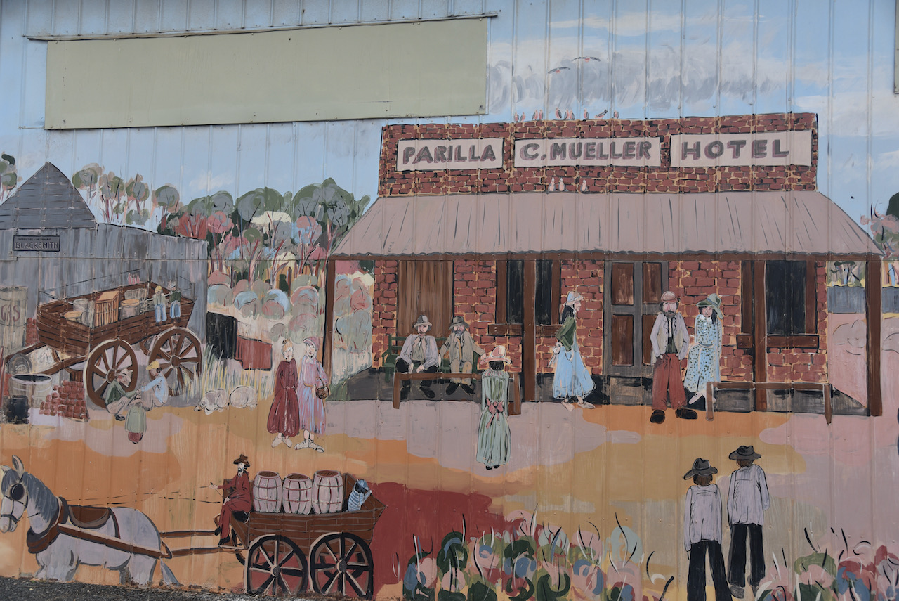
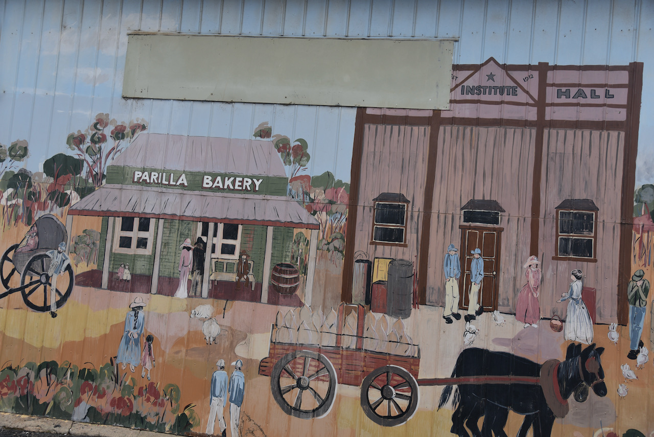
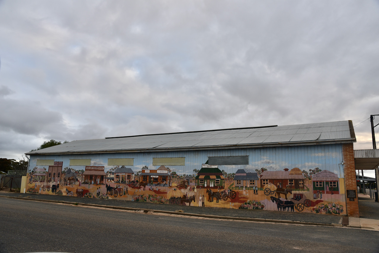
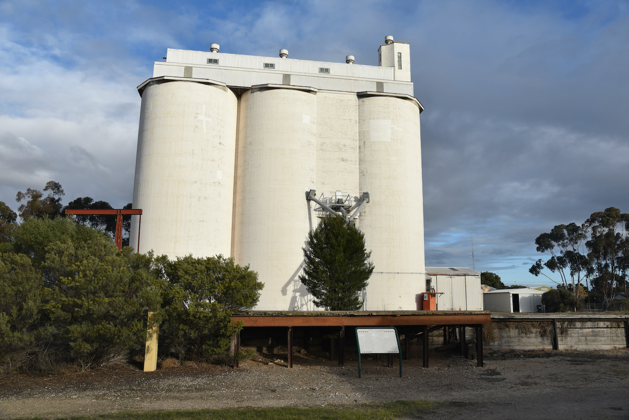
The Parilla silos VK-PRA5 were my next Silos On The Air (SiOTA) activation for Monday the 12th day of July 2021. The little town of Parilla is located about 214 km south-east of the city of Adelaide, and about 14 km east of Lameroo.
Above:- Map showing the location of Parilla. Map c/o Google maps
The government town of Parilla was proclaimed on the 1st day of August 1907. The town was named after the Hundred of Parilla. Parilla is believed to be an aboriginal word meaning ‘cold place’. The Hundred of Parilla, County of Chandos was proclaimed on the 4th day of January 1894. The first pastoralist in the immediate vicinity was J.W.D. Denning who took up pastoral lease no. 2290 as from the 30th day of June 1873.
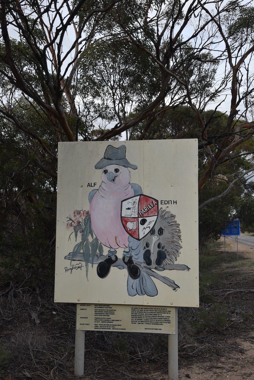
The town’s mascots are Alf and Edith the Galah and Echidna. You can find a sign announcing this just as you enter the town.
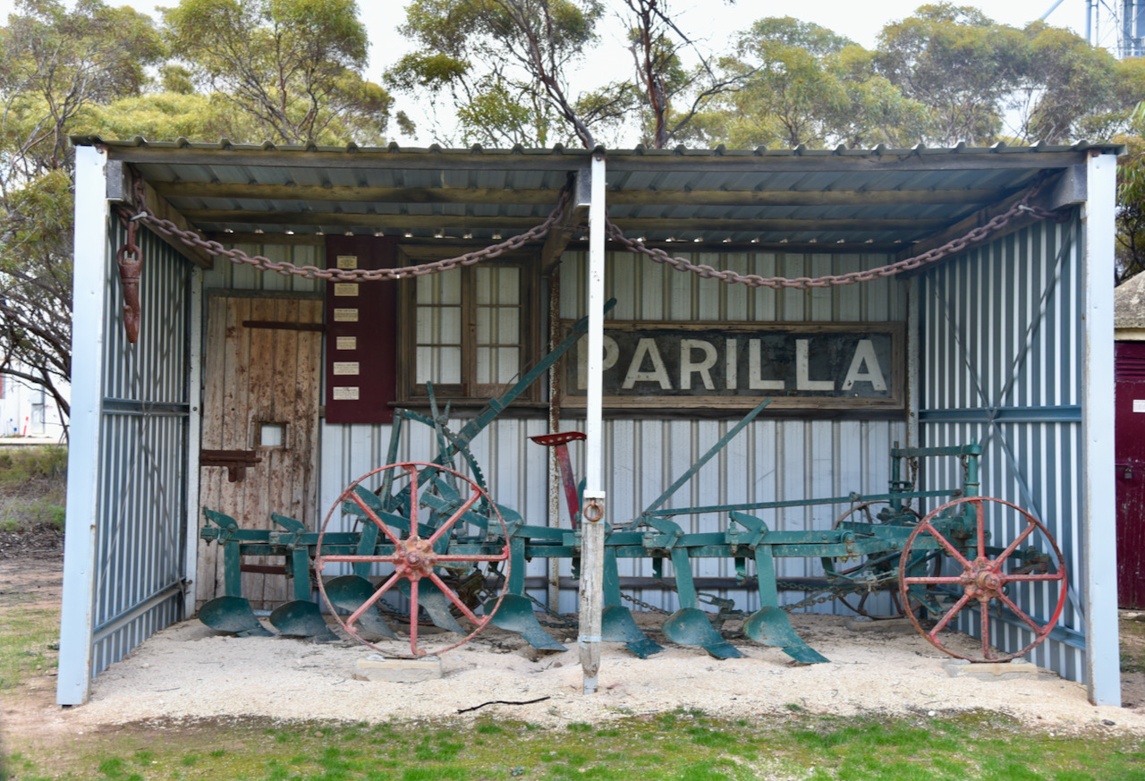
Also as you enter town there is a small display which includes a Stump Jump plough, and an old door from the Parilla Jail.
At the 2016 Australian Census, Parilla had a population of 211.
I found this interesting video on Parilla on the internet which dates back to the 1980s.
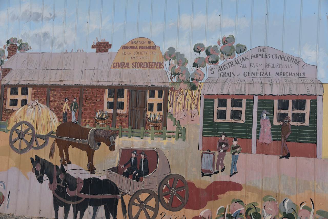
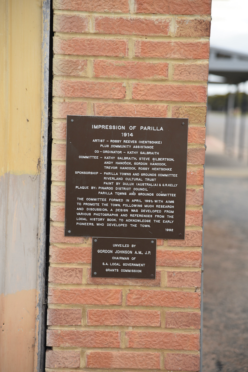
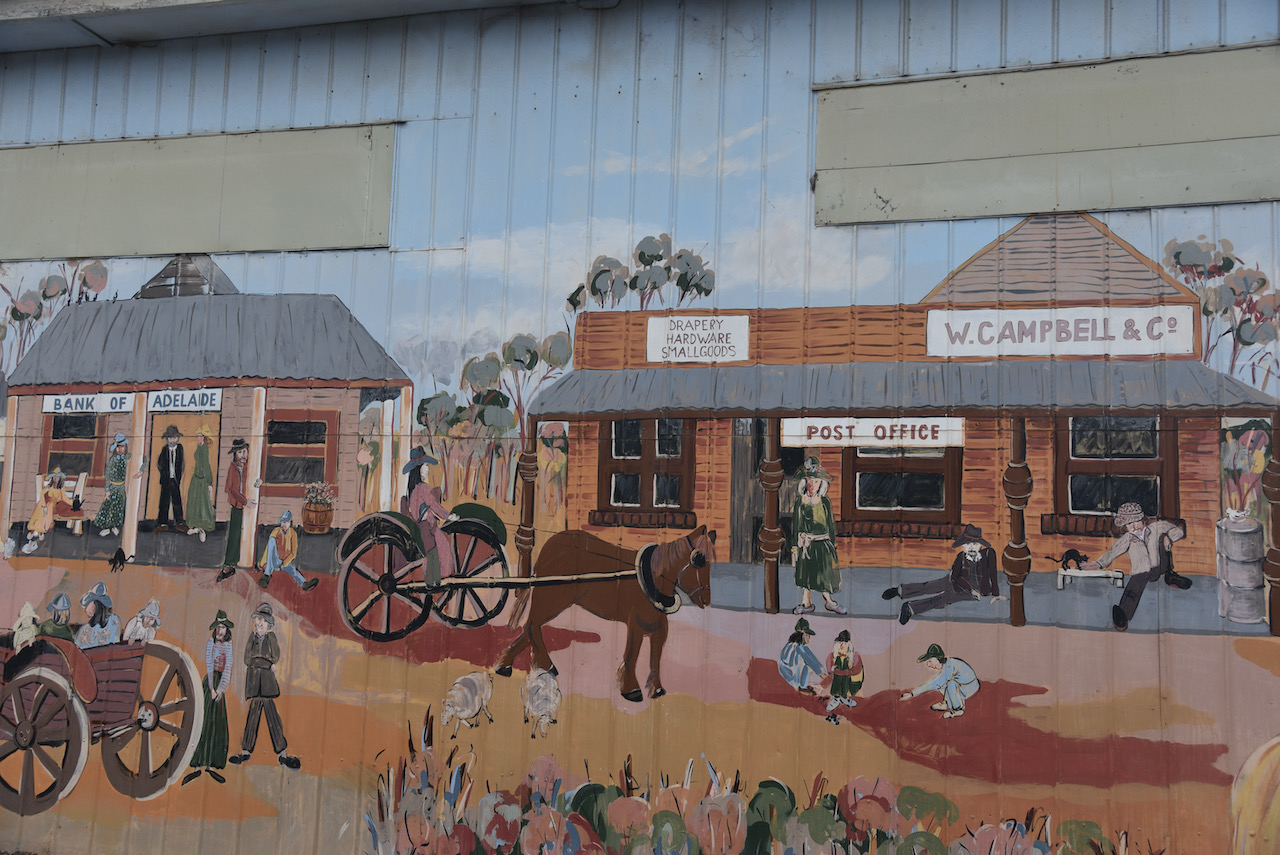
When in Parilla, make sure you have a look at the ‘Impressions of Parilla 1914’ mural. It was designed by artist Rossy Reeves (Hentschke) and was developed from various photographs and references from the Local History book.
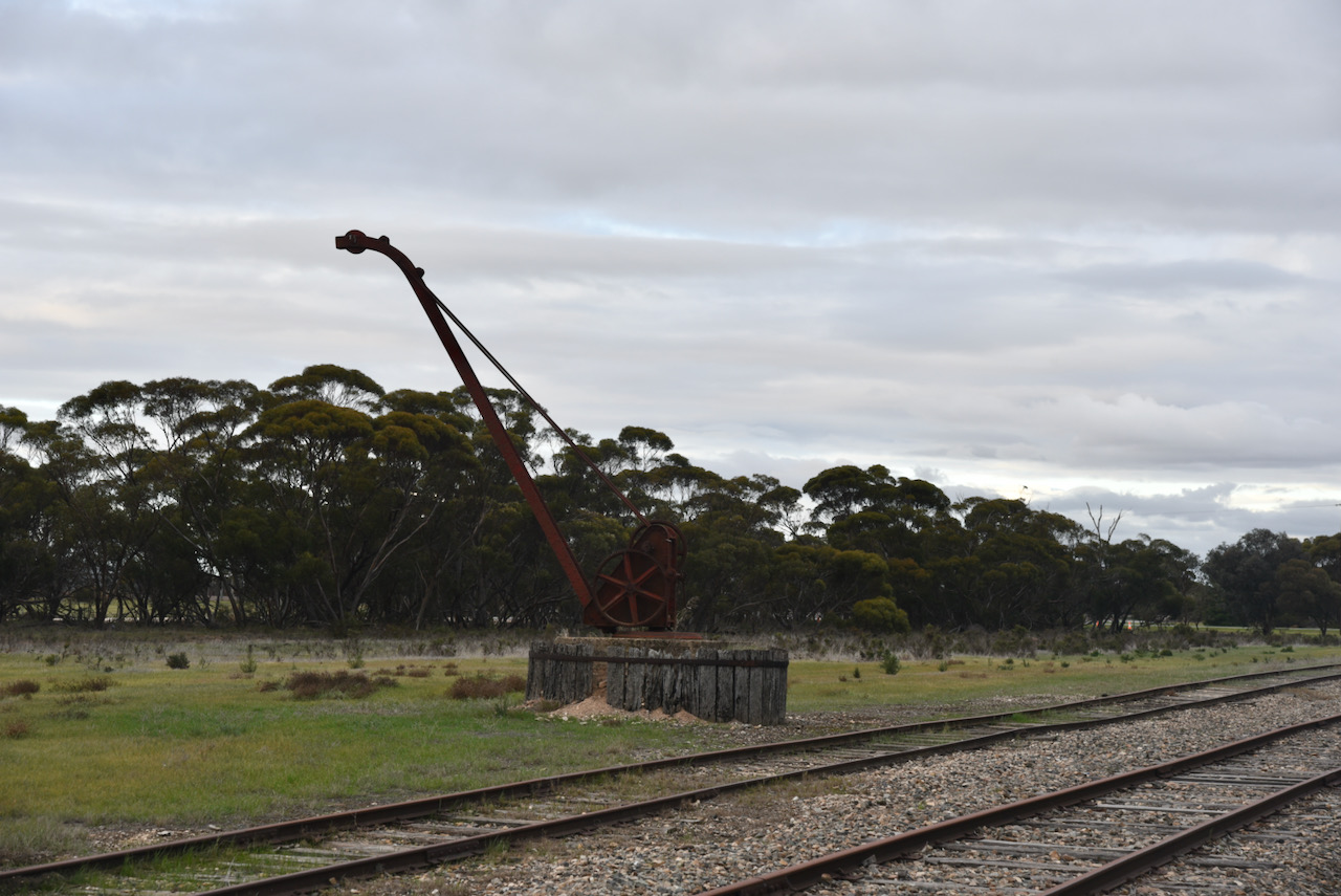
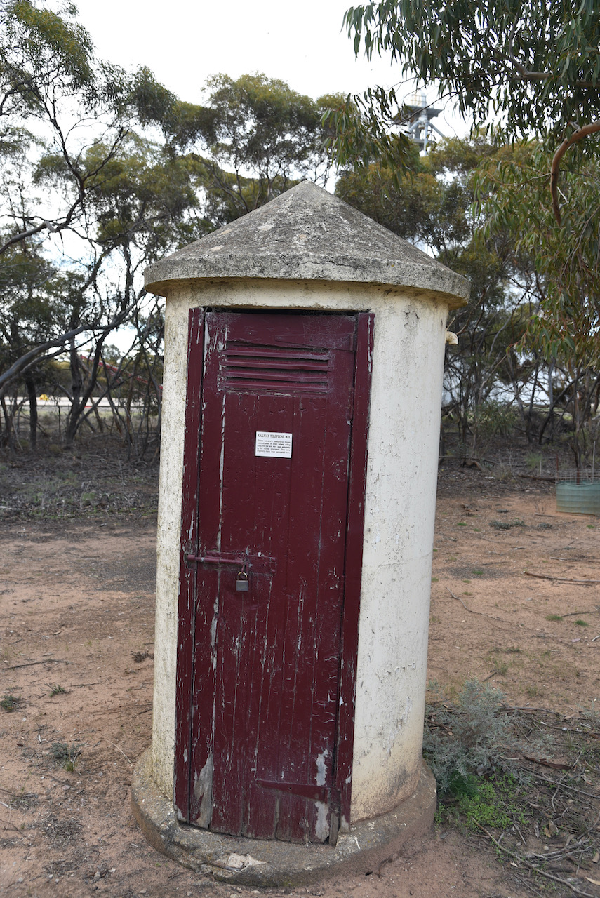
Parilla was once on the Tailem Bend to Pinaroo railway line. Not much remains today except for a Centennary marker, and old crane, and an old railway telephone box.
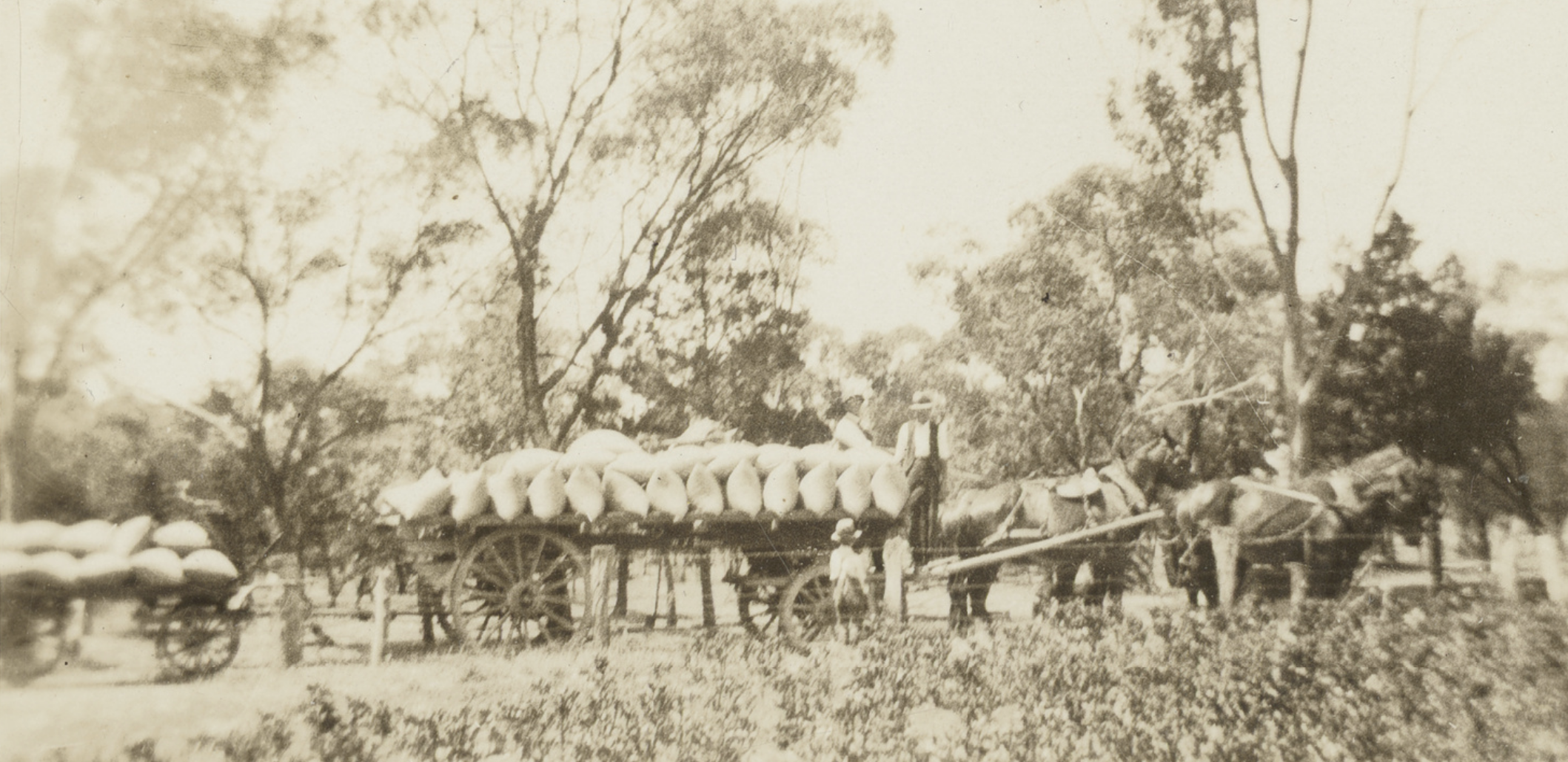
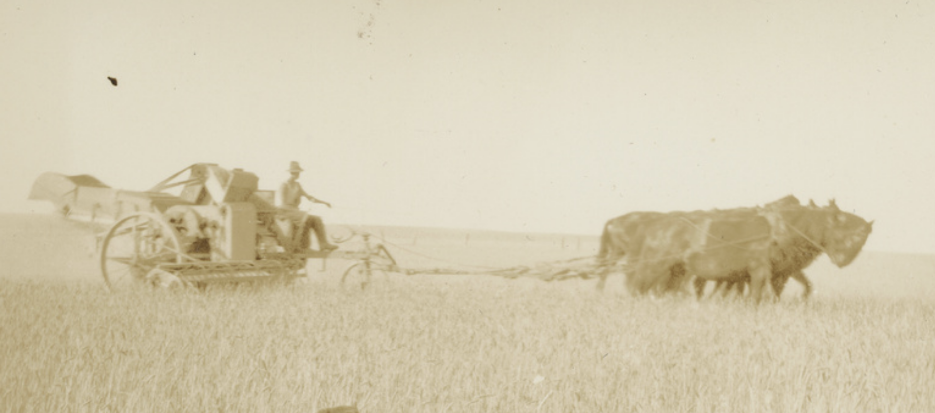
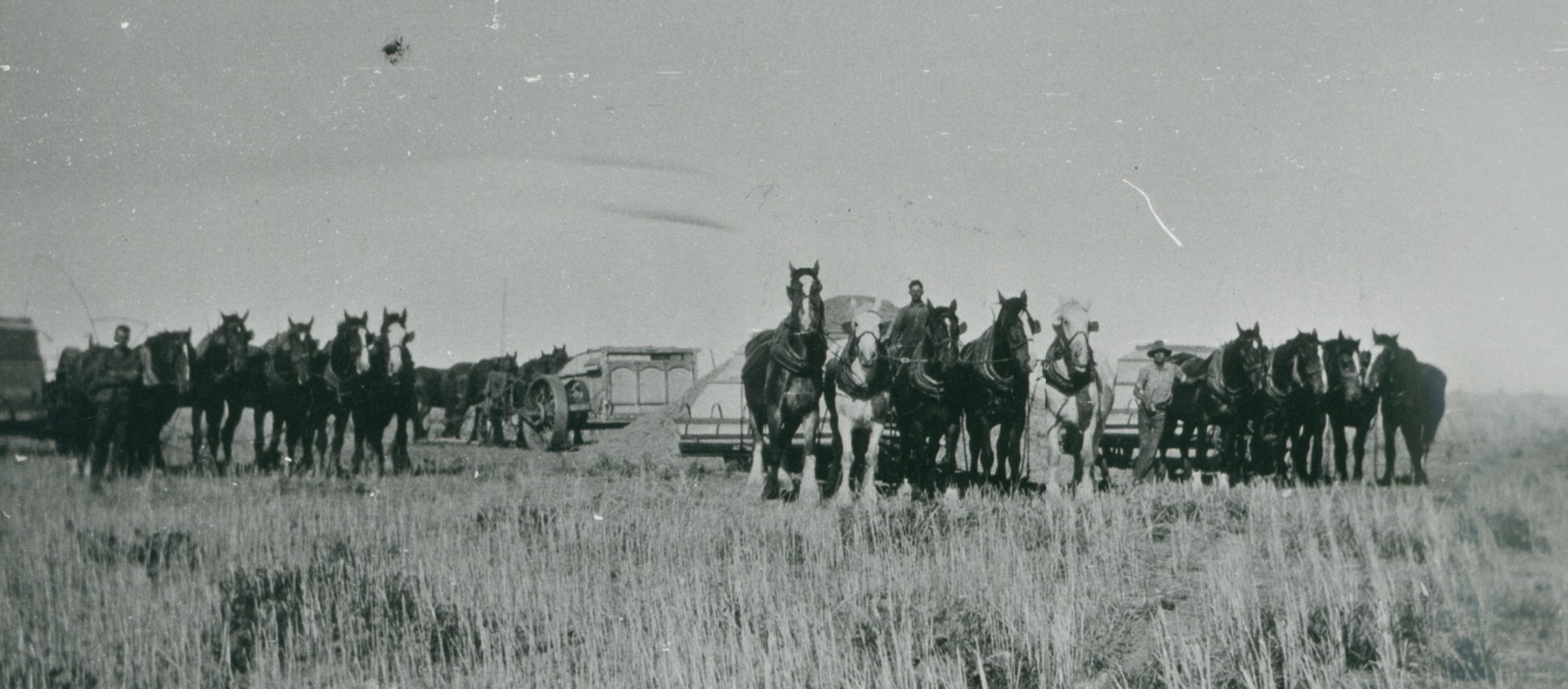
Parilla has traditionally been a local centre for grain growing, although it is now known for growing vegetables such as potatoes, carrots, and onions. Some historic photographs of farming in Lameroo can be seen below (all c/o Trove)
The bulk grain silos at Parilla are located adjacent to the railway line, however grain is freighted out by road, as are vegetables.
I kicked off this activation by calling CQ on 3.610 on the 80m band. First in the log was Sue VK5AYL, followed by Adrian VK5FANA, and then Marc VK3OHM. I logged a further 9 stations on 40m from VK3 and VK5.
I then QSYd to the 40m band and called CQ on 7.155. First in the log was Marija Vk5MAZ, followed by the ever reliable Brett VK2VW. I logged another 3 stations from VK3 and VK5, and despite the band being in quite good shape, I had no further callers.
I tried calling CQ on 14.310 for a few minutes, but as I had no takers, I called it quits and headed for my next silo at Pinnaroo.
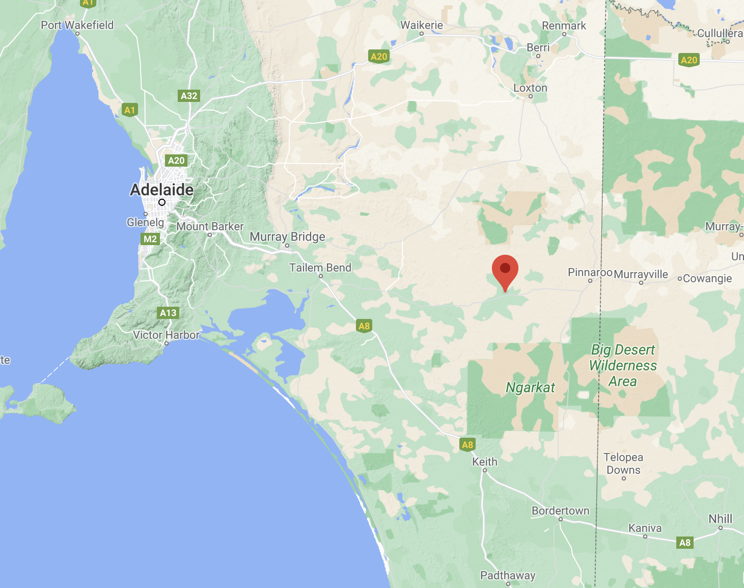
After leaving Geranium I headed to my eight silo on the day, Lameroo silos VK-LMO5 for the Silos On he Air (SiOTA) program. Lameroo is located about 201 km south-east of the city of Adelaide, and about 40km west of the South Australia / Victoria State border.
Above:- Map showing the location of Lameroo. Map c/o Google maps
Lameroo is primarily a service town for the surrounding rural areas, growing grain and sheep. Lameroo now includes the former settlements of Kulkami, Mulpata, Wirha and Gurrai, which were on the Peebinga railway line, and Wilkawatt, which was between Parrakie and Lameroo on the Pinnaroo railway.
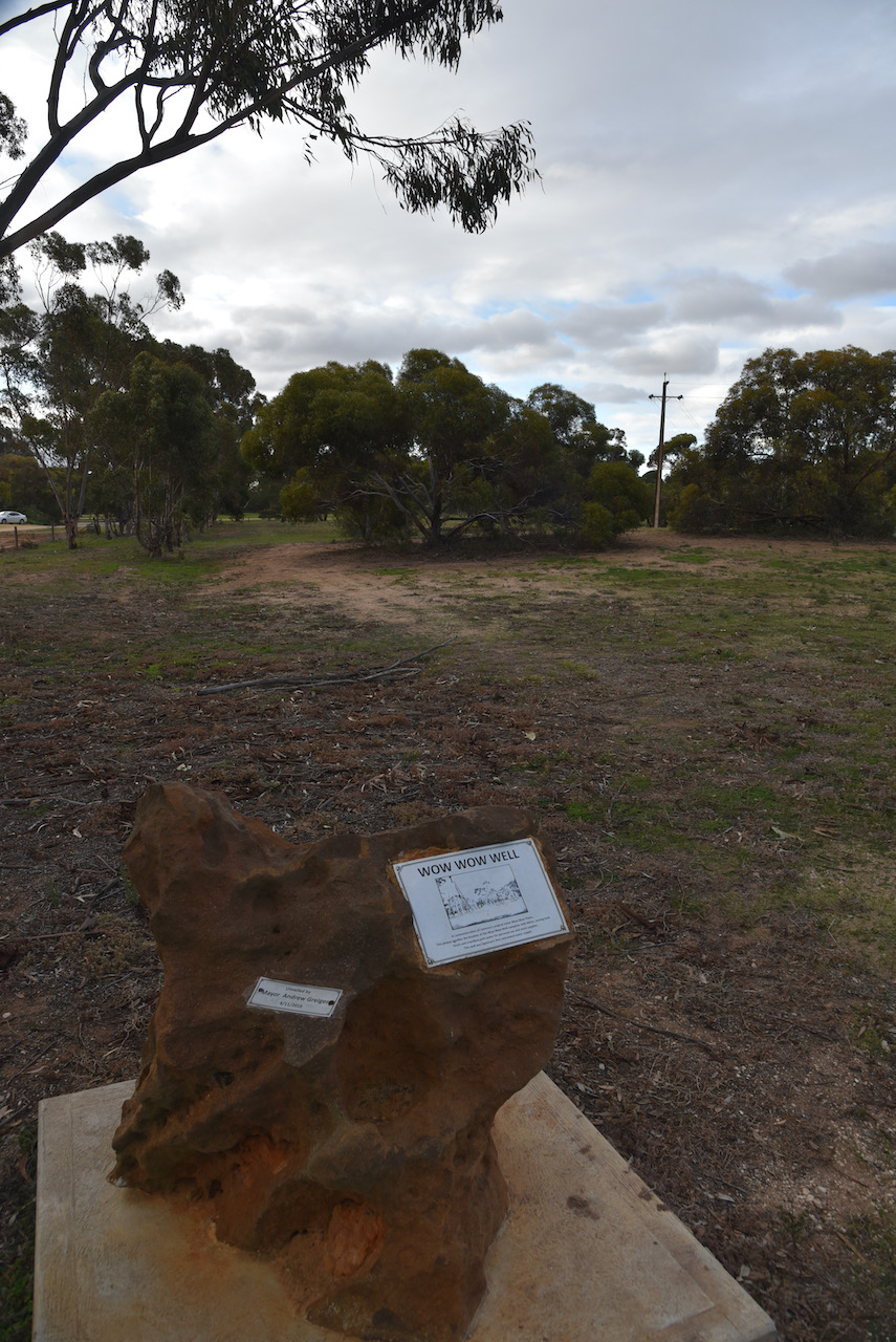
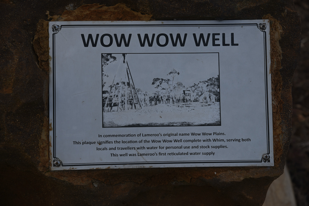
From around 1858, land around the now Lameroo, was first taken up on pastoral lease. The area was known as Wow Wow Plain. However there was limited grazing during this time. Following the establishment of a homestead and the digging of a well at Garra, south of Parrakie, settlement on the Wow Wow Plain became more popular.
In 1884 a well was dug at Wow Wow Plain. It measured 7 feet by 4 feet and 254 feet deep. It was timbered with round Cypress Pine which was obtained from the stands of Southern Cyrprus Pine located in the area. The well was dug by pick and shovel.
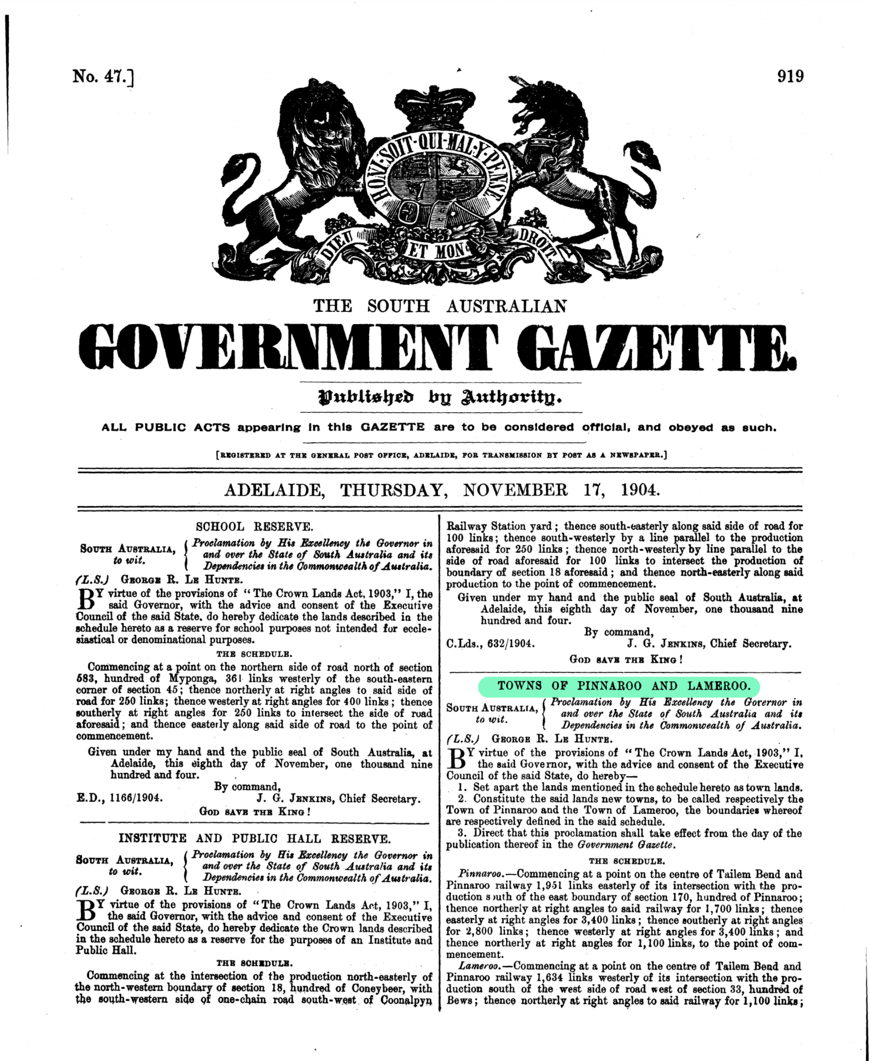
In 1894 the land was surveyed. The town reserve was proclaimed in 1894 and a Government well was excavated. In 1904 the town was named Lameroo at the suggestion of J.M. Johnston who had worked on the Overland Telegraph Line. He liked the name Lameroo as it was a reminder for him of Lameroo Beach, a small beach located off the Esplanade in central Darwin.
Above:- The South Australian Government Gazette, Thursday 17th November 1904.
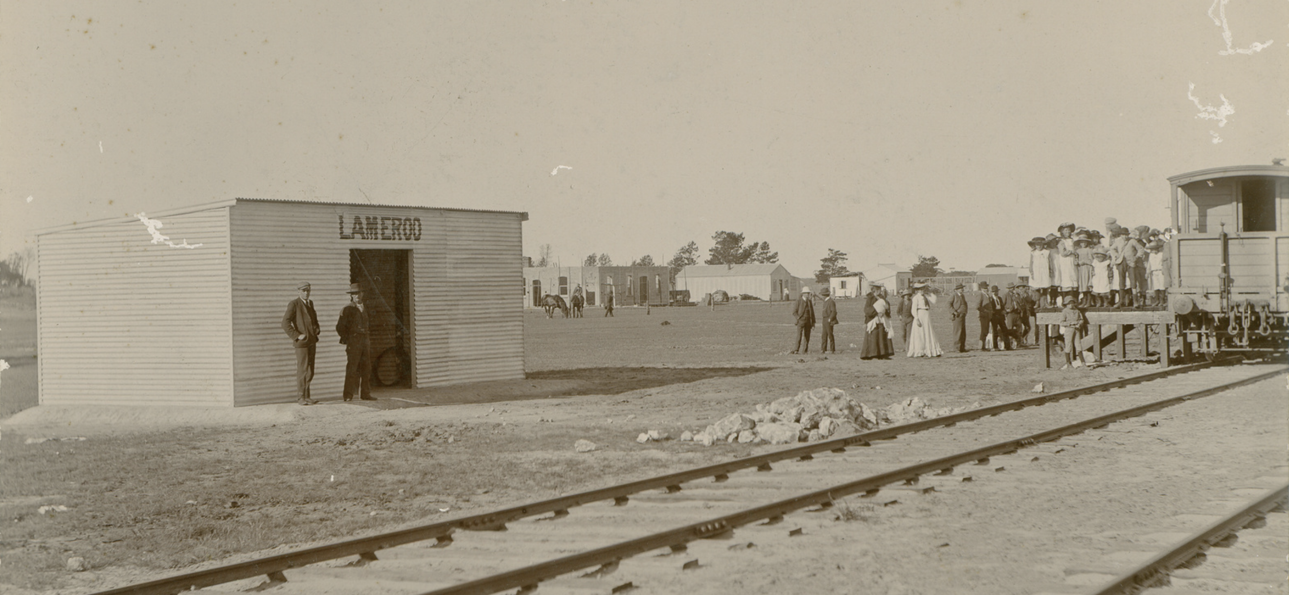
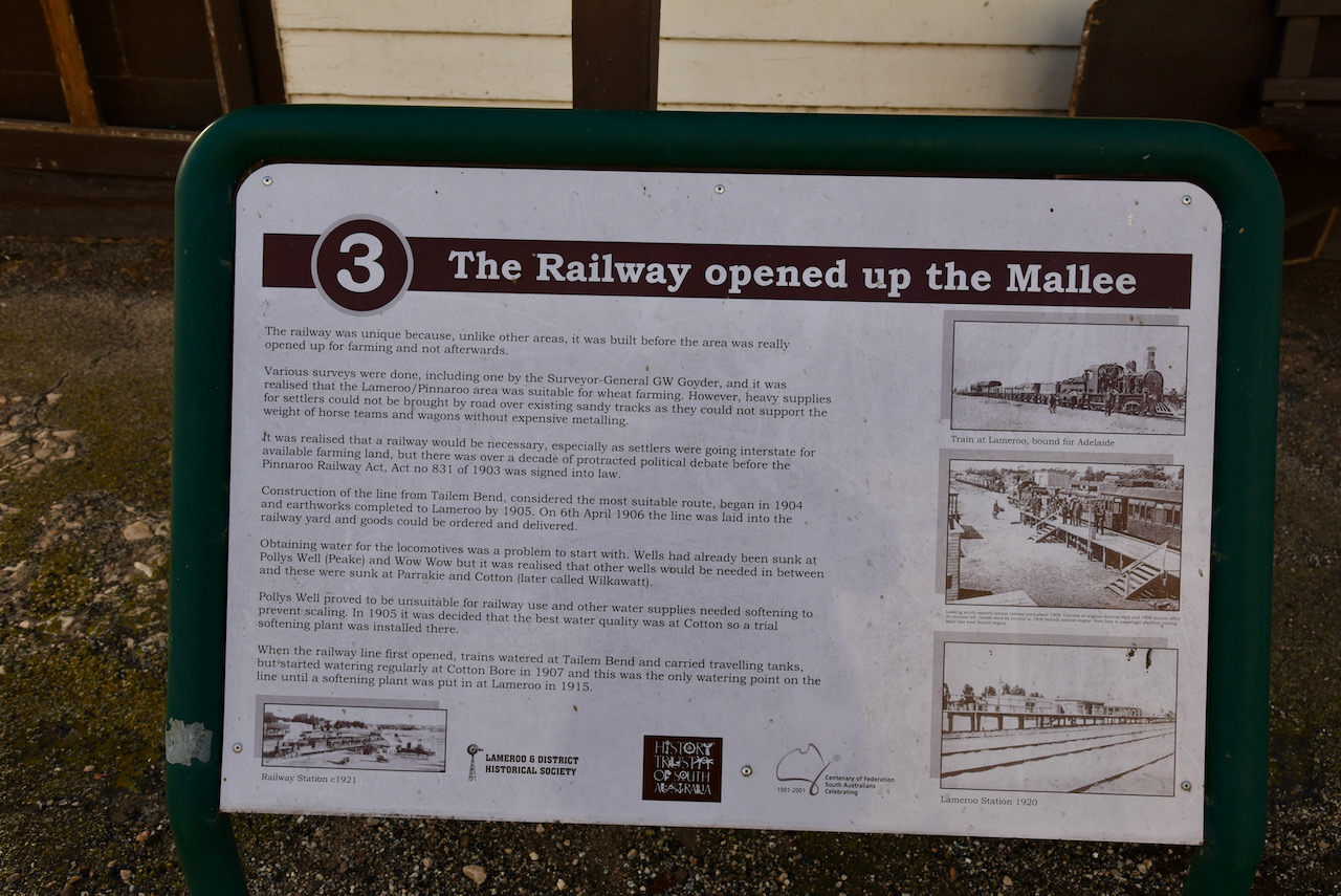
Trains once ran to Lameroo on the Tailem Bend to Pinnaroo line. Construction of the lie commenced in 1904. Earthworks were completed to Lameroo by 1905. The first trains arrived with passengers and goods commenced arriving in 1906, with the line laid into the railway yard on the 6th day of April 1906. The Lameroo railway station was declared open on the 14th day of September 1906.
When the railway line first opened, trains watered at Tailem Bend and carried travelling tanks, but started watering regularly at Cotton Bore in 1907, and this was the only watering point on the line until a softening plant was established at Lameroo in 1915.
Above:- An early view of the Lameroo railway station. Image c/o Trove
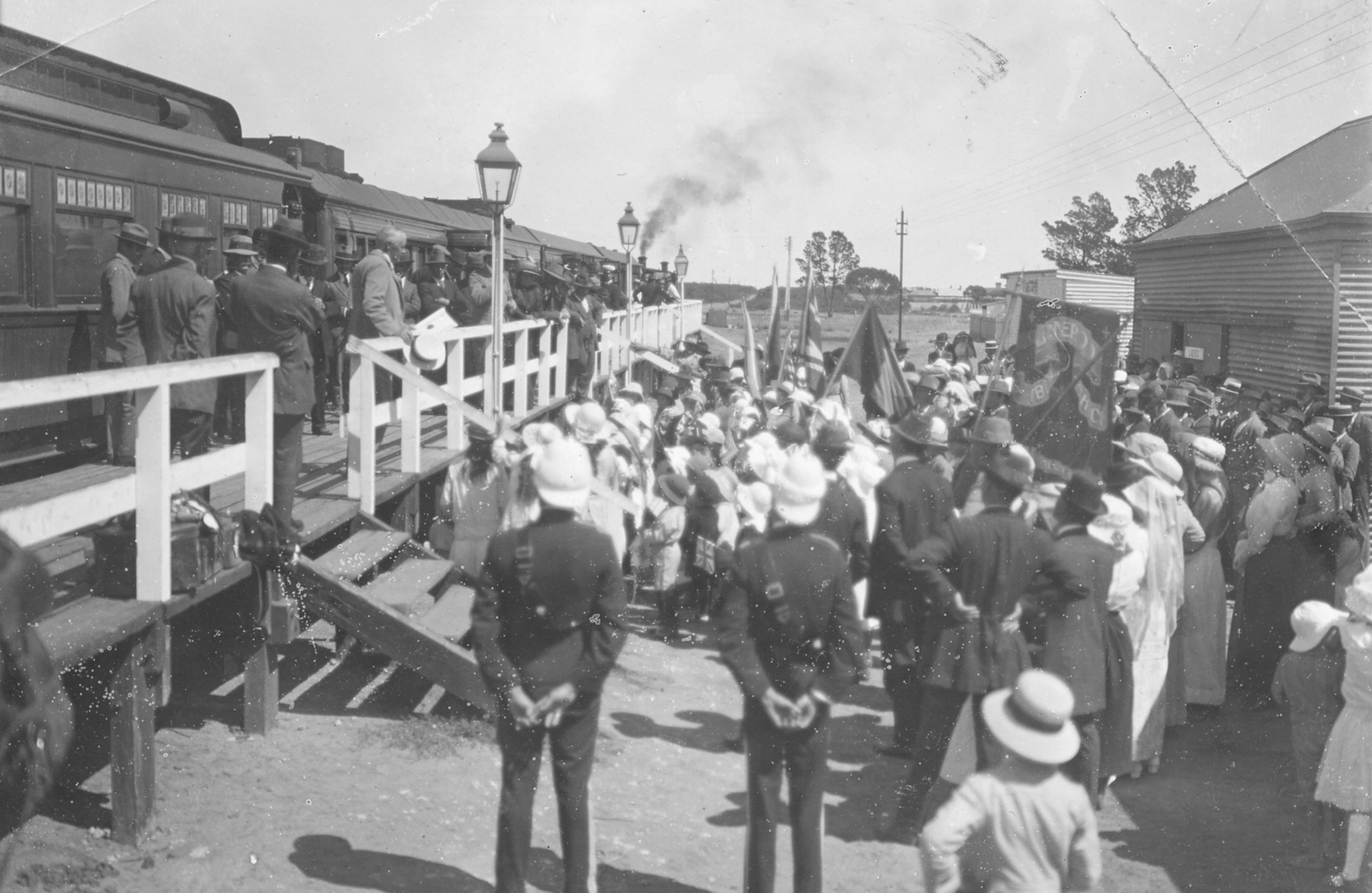
In 1919, Sir Ronald Munro Ferguson, the Governor-General of Australia visited Lameroo in 1919 aboard the vice regal train. A large group gathered to greet the train. Also in attendance was Sir Arthur Stanley, the Governor of Victoria, and Crawford Vaughan, the Premier of South Australia.
Above:- the arrival of the vice regal train to Lameroo in 1919. Image c/o Trove
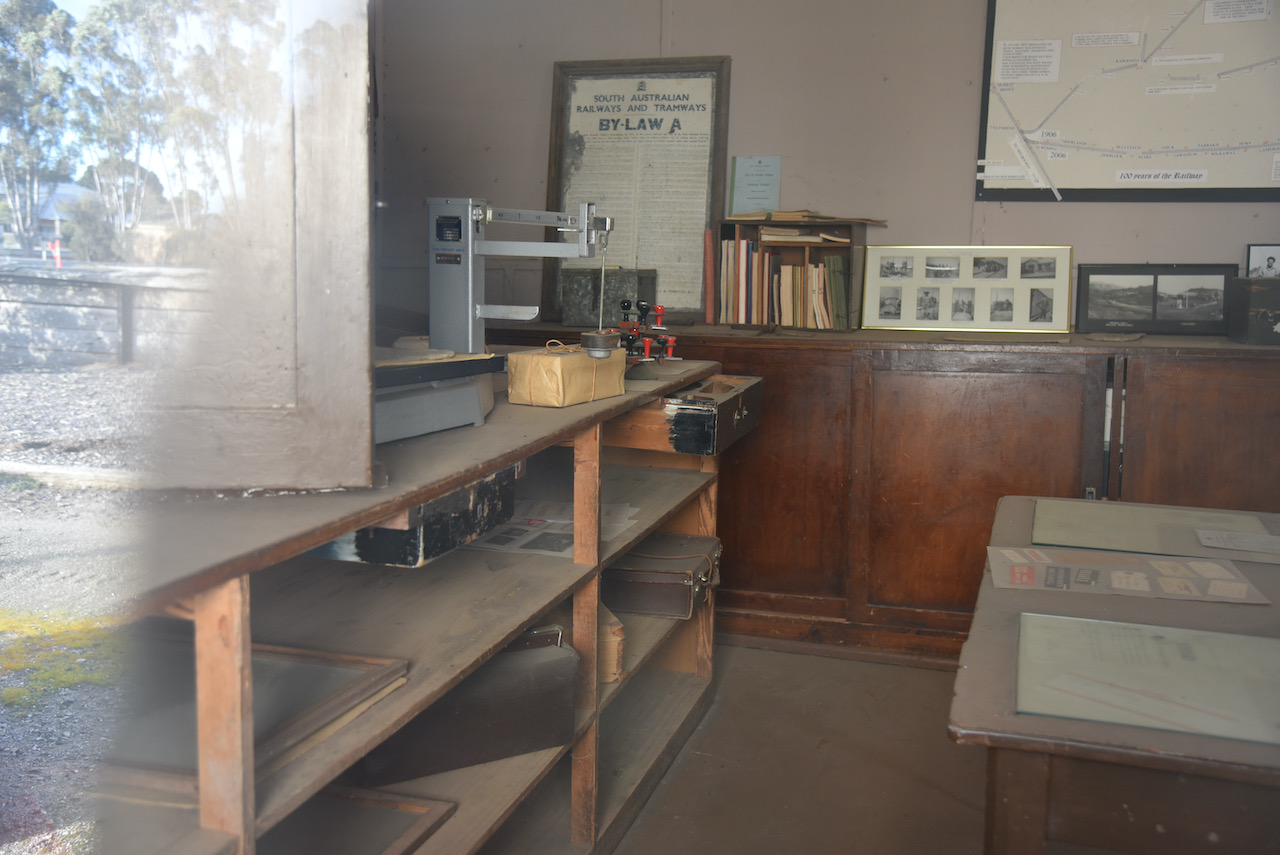
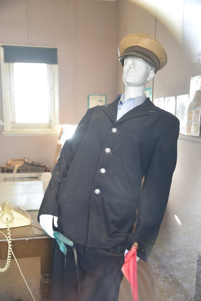
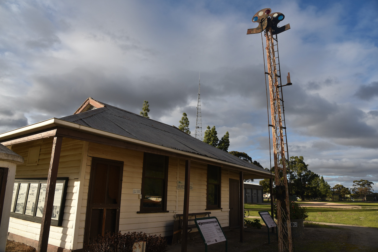
Today you can view the old railway station and a considerable amount old railway memorabilia in the reserve on the southern side of the Mallee Highway.
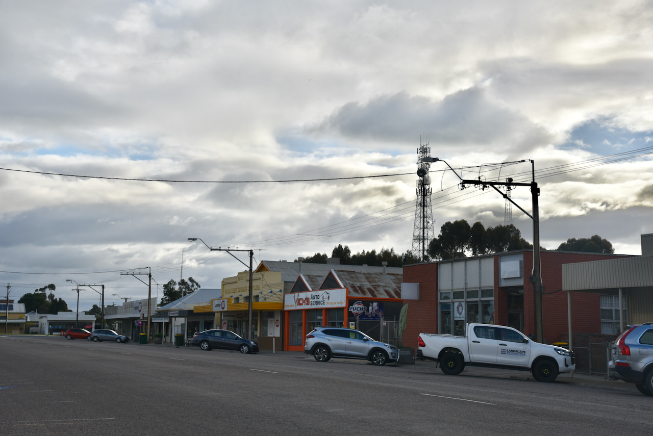
The main street of Lameroo is the Mallee Highway. Here you can find a number of shops. Lameroo was judged winner of the medium sized town category in the 1992 KESAB Tidy Towns Awards, and was in the top ten towns for five consecutive years.
Lameroo was the birthplace of Julie Moncrieff Anthony AM, OBE (b. 1949), an Australian former professional singer and entertainer. She was born to Betty and Les Lush, a sheep and wheat farmer.
At the start of the settlement of the Lameroo area, crops, rather than livestock, were the principal farming activity. Wheat was the main crop in the early years and then barley became popular too. Old farming practices sometimes led to the drift of topsoil but later soil management techniques reversed this trend and the use of super-phosphates from the 1950s increased crop yields.
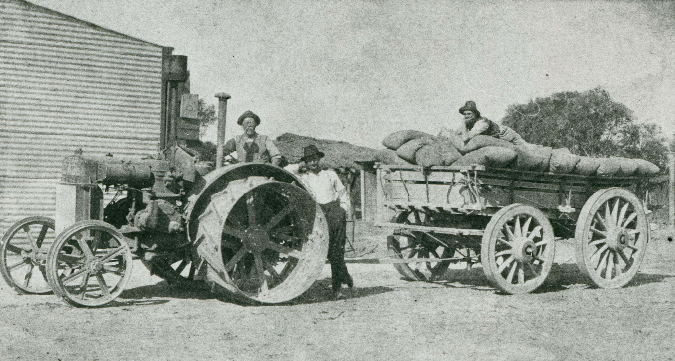
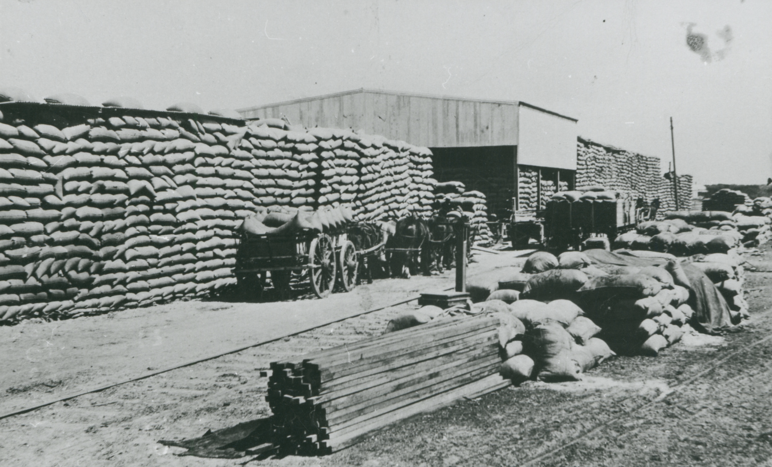
Prior to the advent of Bulk Handling all grain was handled in bags and it was a common sight to see huge stacks awaiting transport in the railway yard.
Above:- Unloading wheat sacks from horsedrawn wagons at Lameroo.
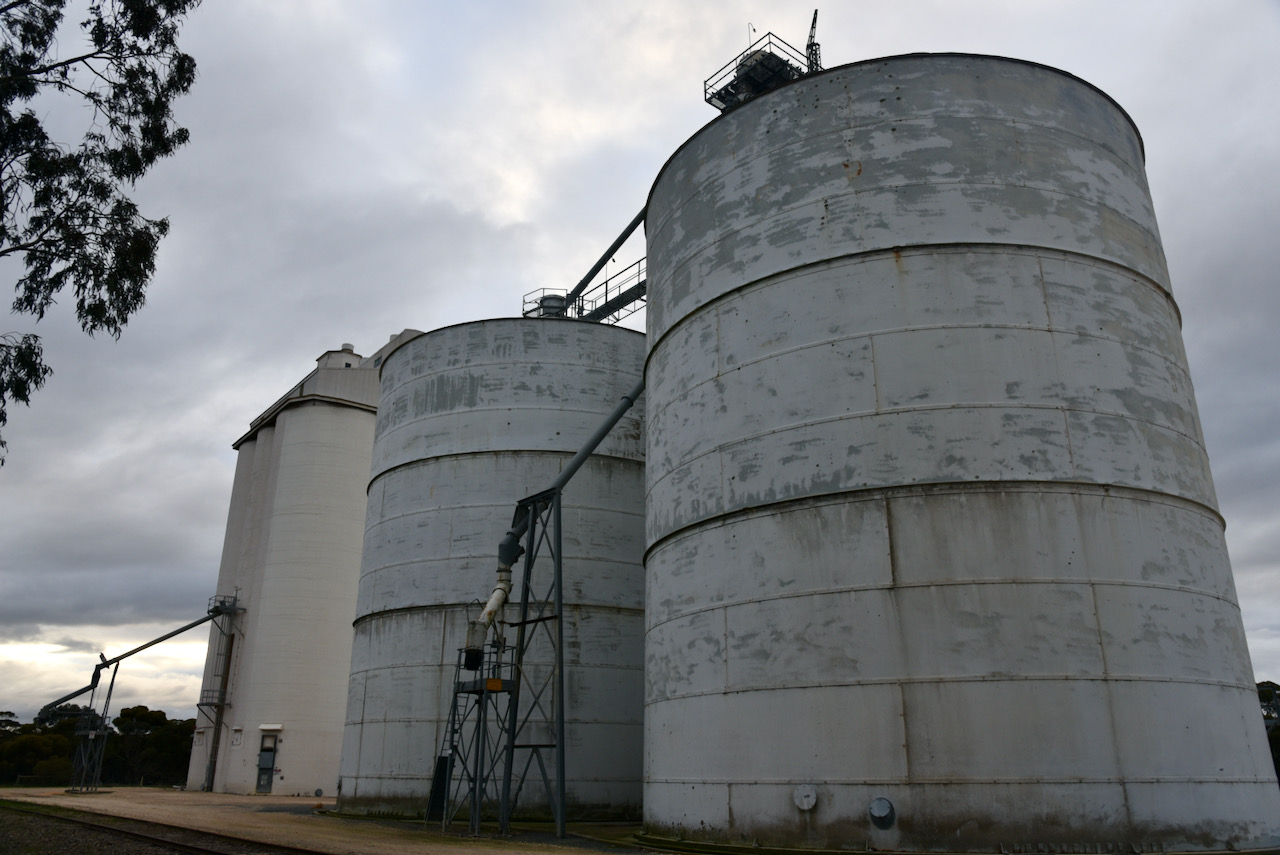
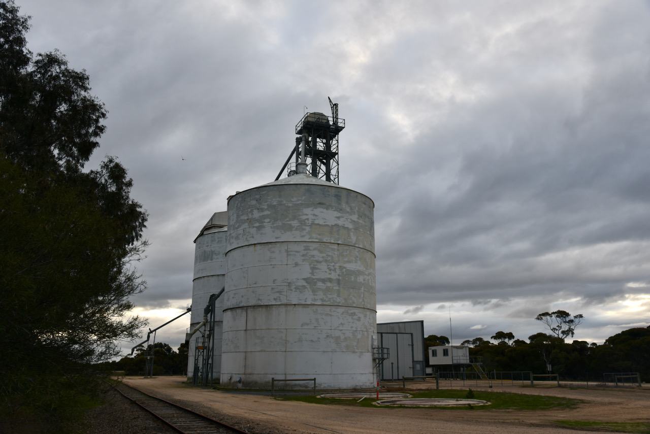
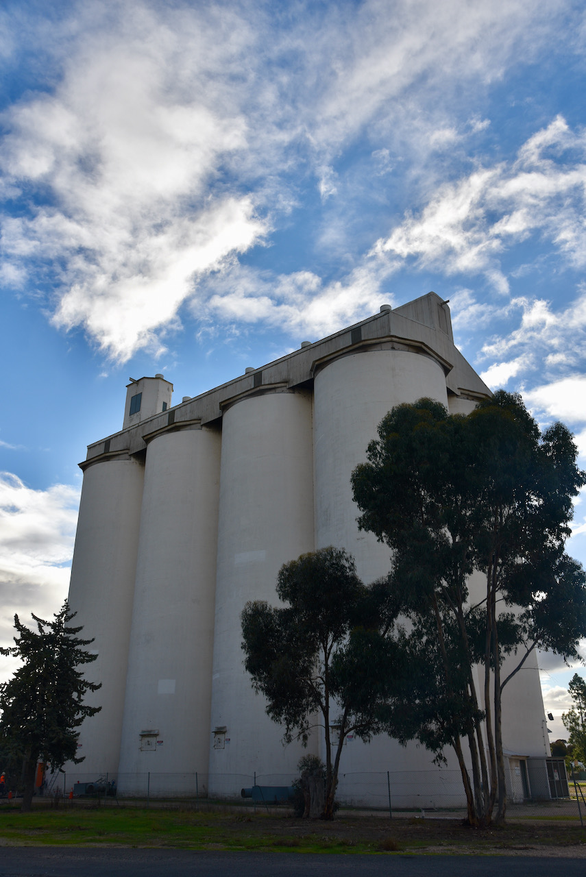
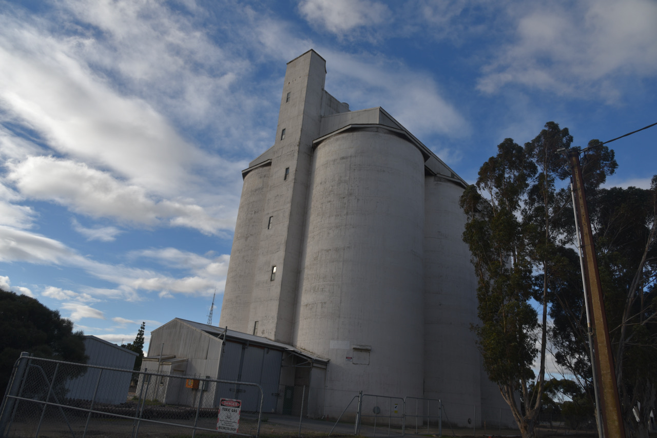
After the South Australian Co-Operative Bulk Handling Limited (SACBH) set up operations in South Australia in 1955 local farmers requested a silo be built in the area, however, due to restrictions in the Bulk Handling Grains Act 1955 terminals had to be built at Wallaroo and Port Lincoln before overseas shipping facilities for the eastern area could be built at Port Adelaide. In the meantime the grain trade was canvassed regarding using grain stored in silos and from data on hand, Lameroo was selected as the ideal location for the first silo in the Port Adelaide division. The contract was let in 1959 and total capacity for the completed silo is 11,900 tonnes.
As the wheat silo proved so successful barley growers demanded a similar facility and in 1964 the barley silo was erected with a total capacity of 13,400 tonnes.
The silos at Lameroo are operated by Viterra which was founded in Canada in 2007. Viterra is the largest bulk grain handler in South Australia.
I called CQ on 7.150 and this was answered by Peter VK3PF, followed by Marija VK5MAZ, and then Gordon VK5GY. I now had three contacts in the log, the required number to qualify the silo.
I logged a further 6 stations on 40m from VK2, VK5, and VK7, before my callers completely dried up. I then moved down to 3.610 on the 80m band where I logged 6 stations, all from VK5.
To complete the activation I moved to 14.310 on the 20m band and logged Roly Zl1BQD in New Zealand.