
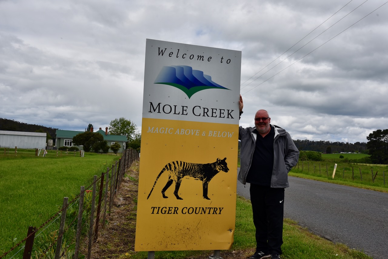
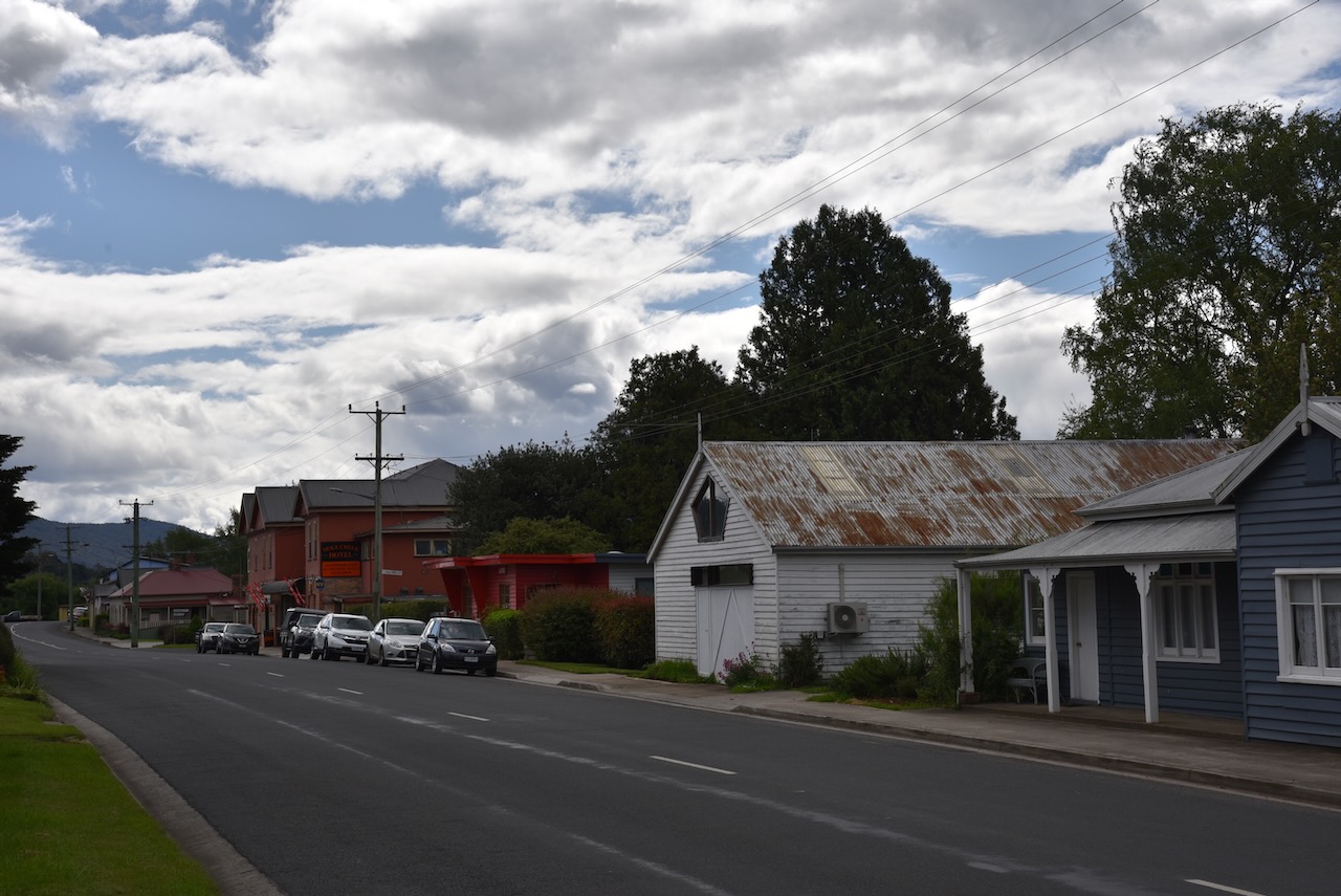
We were getting hungry and on advice from Joe VK3YSP, after packing up at Mole Creek (16th November 2022) Marija and I drove into the little town of Mole Creek.
Mole Creek is located in the Upper Mersey Valley about 68 km south (by road) of Devonport. Mole Creek produces about 35% of all of Tasmania’s honey. The town is named after Mole Creek, a tributary of the Mersey River.
The Pallittorre aboriginal tribe occupied the land around Mole Creek prior to European settlement. When the Europeans settled in the area there was conflict between the two groups resulting in deaths in both groups. It is estimated that the aboriginal population dropped from 200 to 60 between the years 1827 – 1830.
During the early 1800s stockmen had run cattle in the area and had constructed stockman’s huts. The Van Dieman’s Land Company cut a stock route from Deloraine to Burnie (then known as Emu Bay) via Chudleigh and Mole Creek during the 1820s. In 1826 an exploration of the Mole Creek area was undertaken by Edward Curr, Joseph Fossey and Henry Hellyer. From the late 1820s land grants commenced and the land was surveyed.
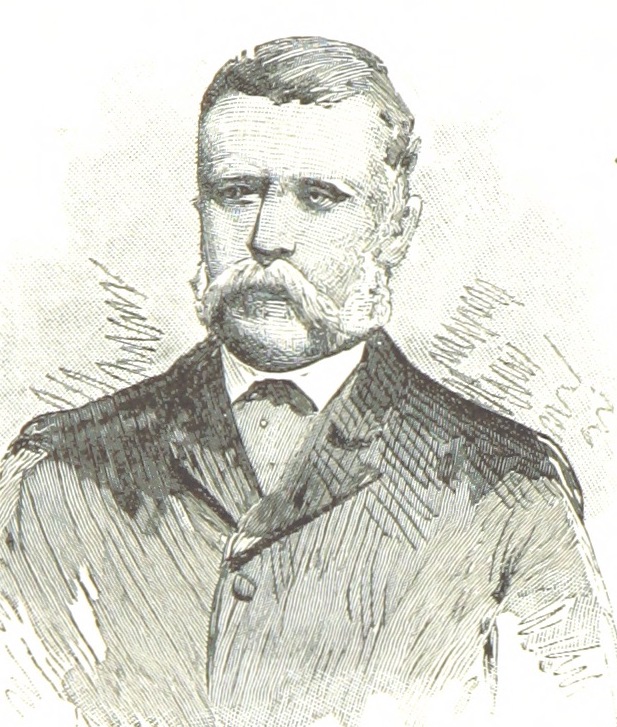
Above:- Edward Curr. Image c/o Wikipedia.
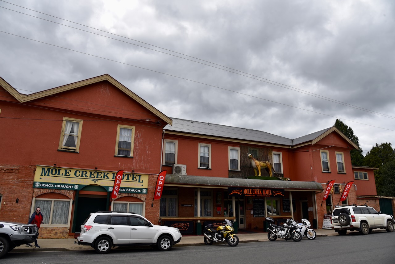
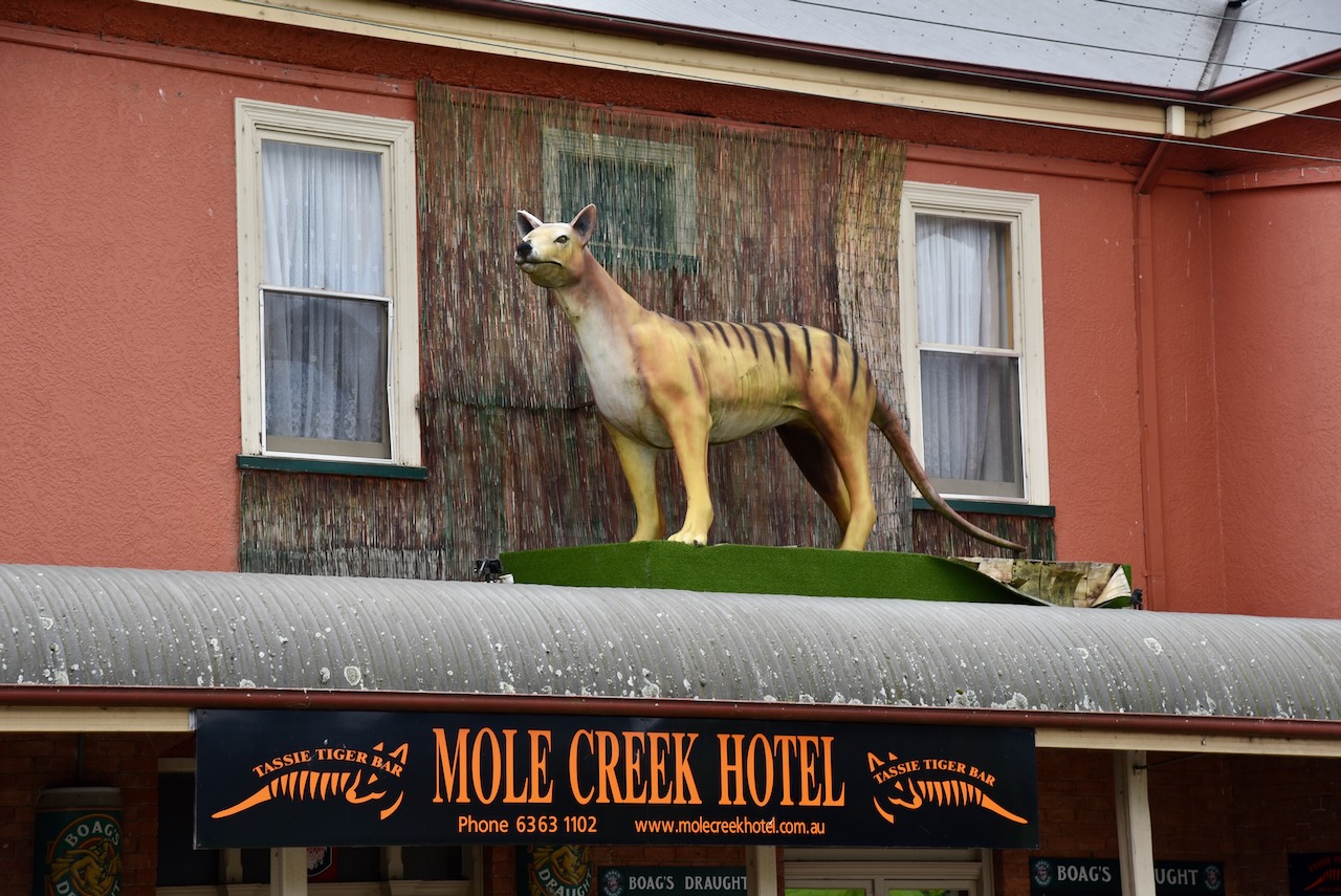
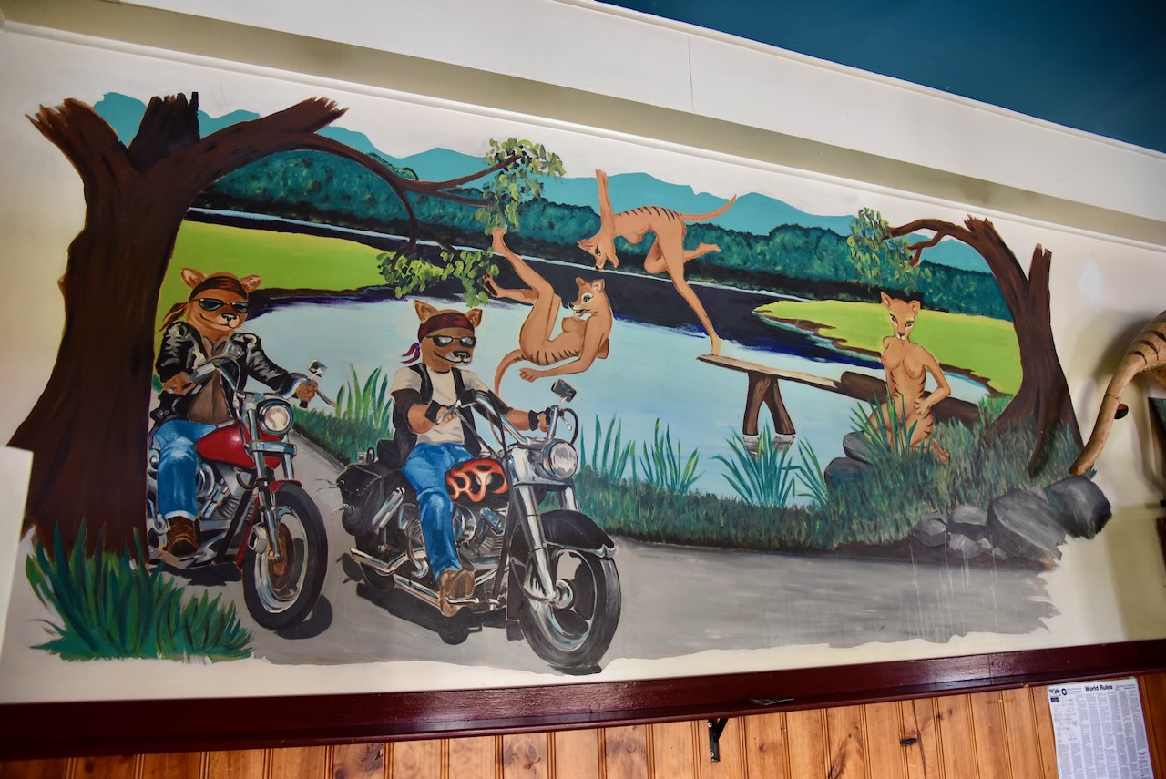
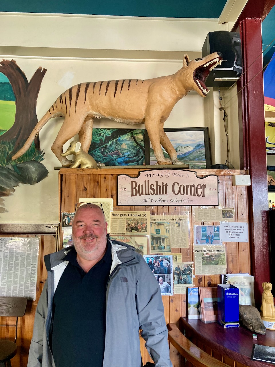
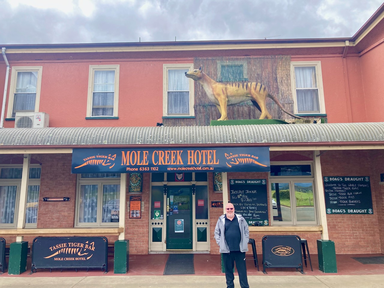
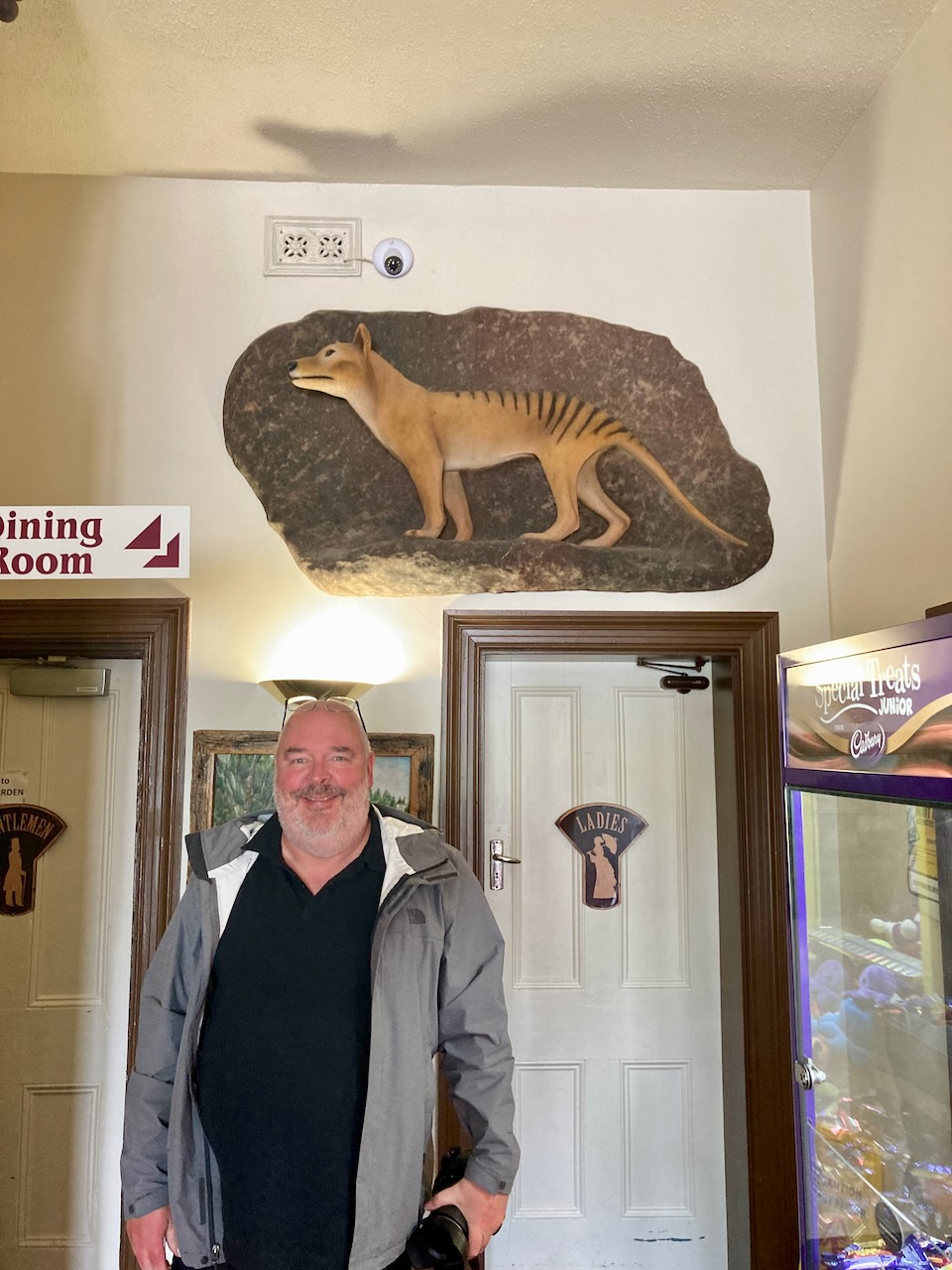
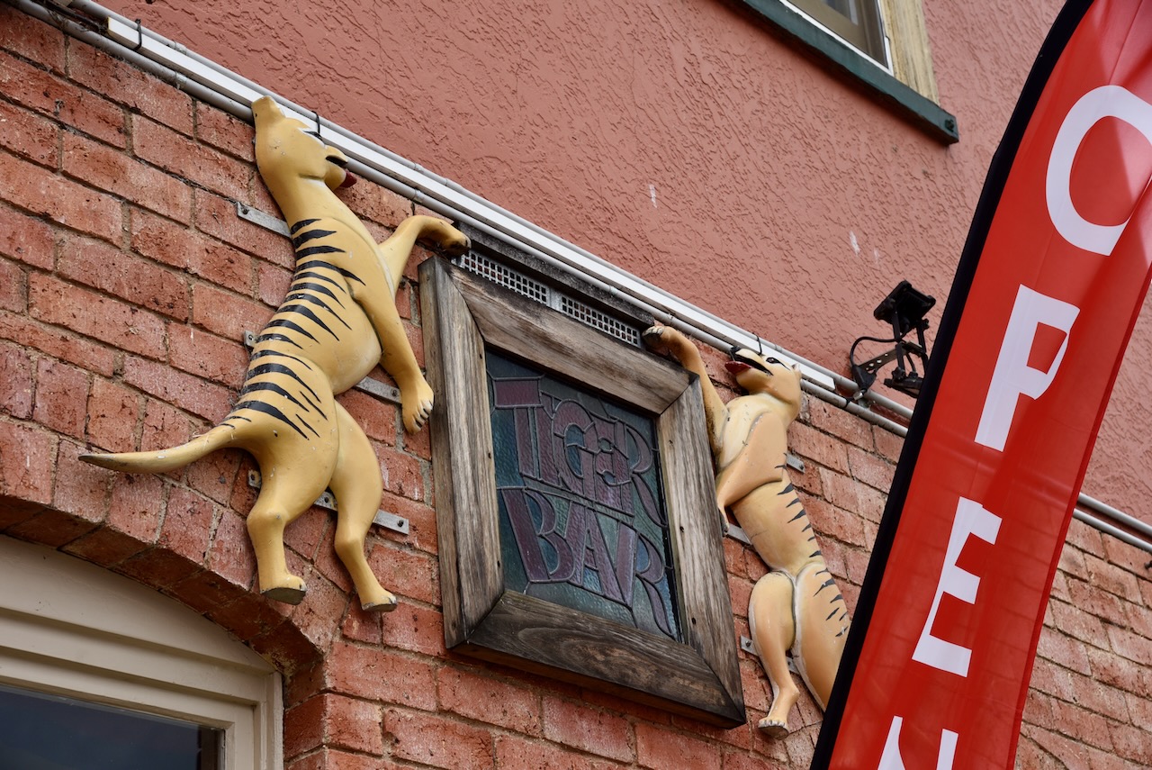
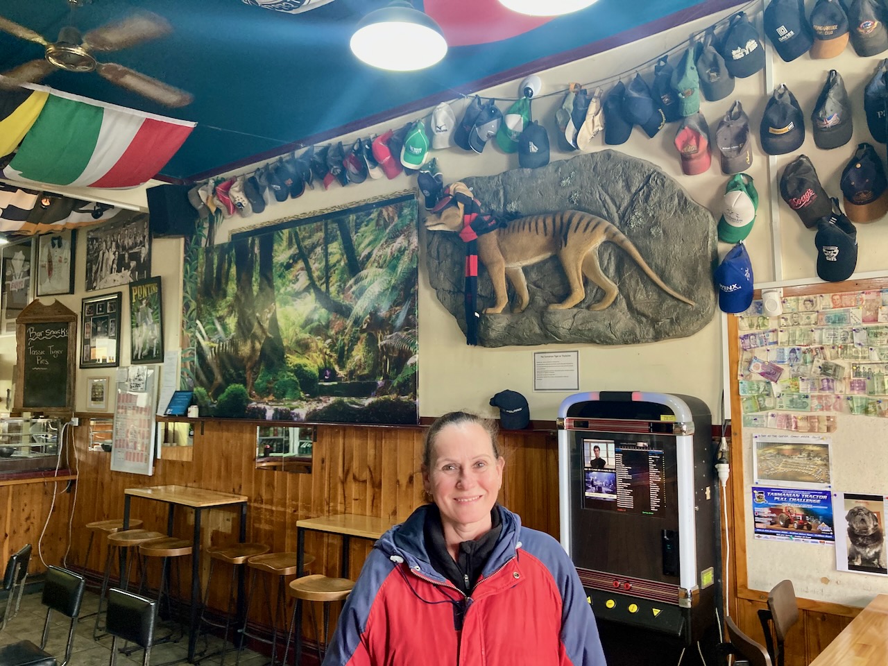
We then headed to the Mole Creek Hotel which includes the Tassie Tiger Bar, the home to the world’s largest Tasmanian Tiger. The hotel contains everything to do with the Thylacine or Tasmanian Tiger. There are sculptures, paintings, newspaper cuttings, and photographs.
https://www.molecreekhotel.com.au/

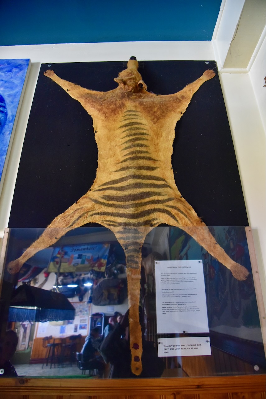
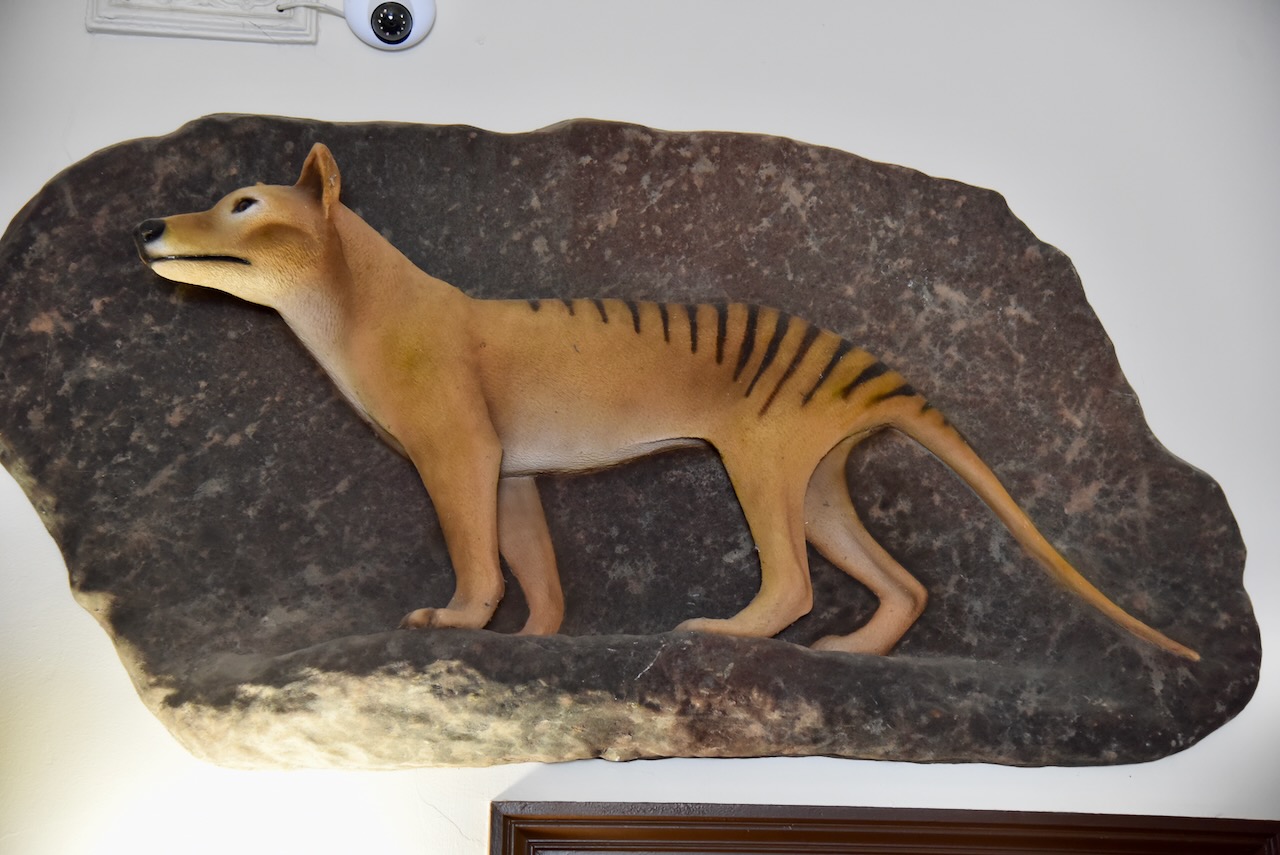
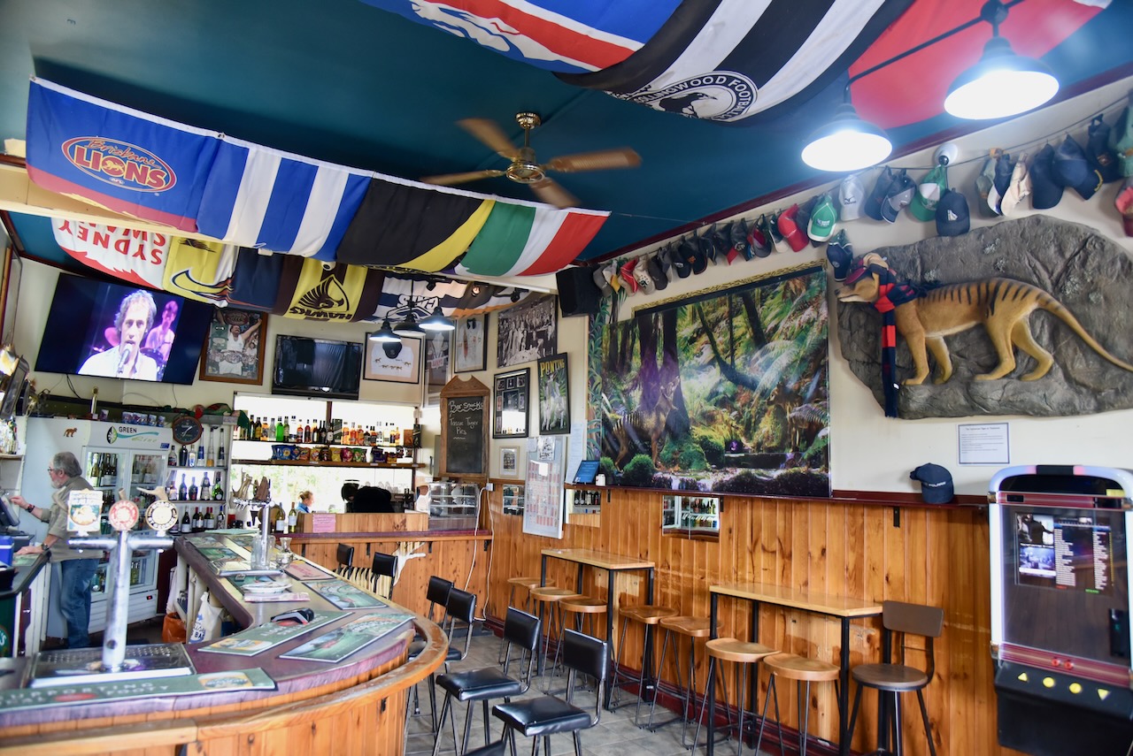

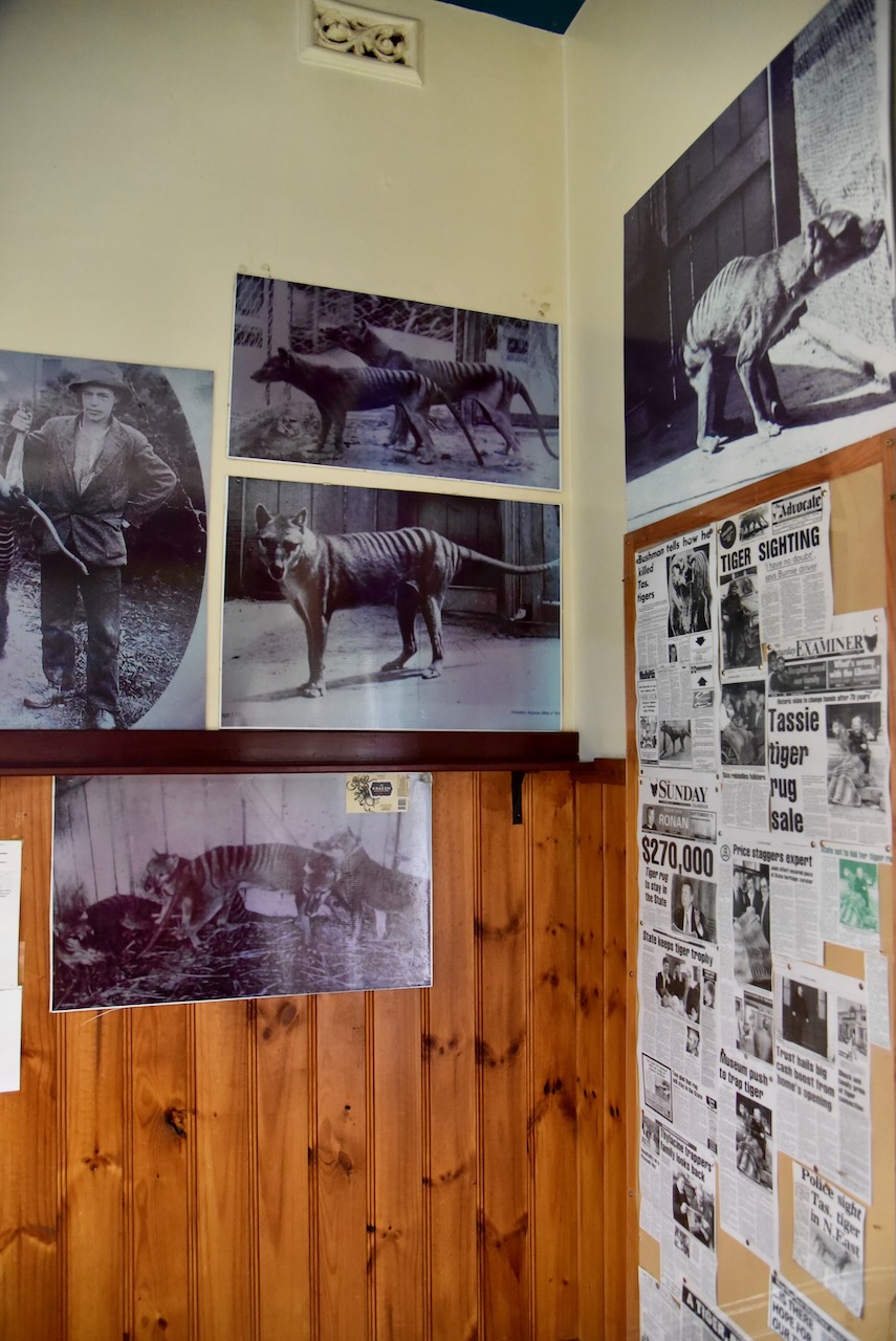
The Thylacine or Tasmanian Tiger is an extinct carnivorous marsupial. They were officially declared extinct in 1936. A bounty system was placed on Thylacines and this contributed to the loss of this beautiful animal.
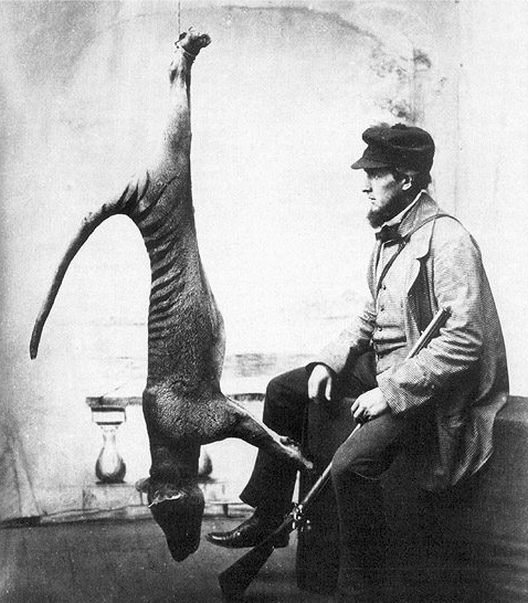
Above:- A bagged Thylacine. Image c/o Wikipedia.
The video below is colourised footage from the black and white film shot by Naturalist David Fleay of the last known surviving Tasmanian Tiger at the Beaumaris Zoo in Hobart in December 1933.
We enjoyed a nice meal and some cool refreshments at the Mole Creek Hotel.

The meals were brought out promptly despite there being a large group at the hotel from a BMW motoring group.

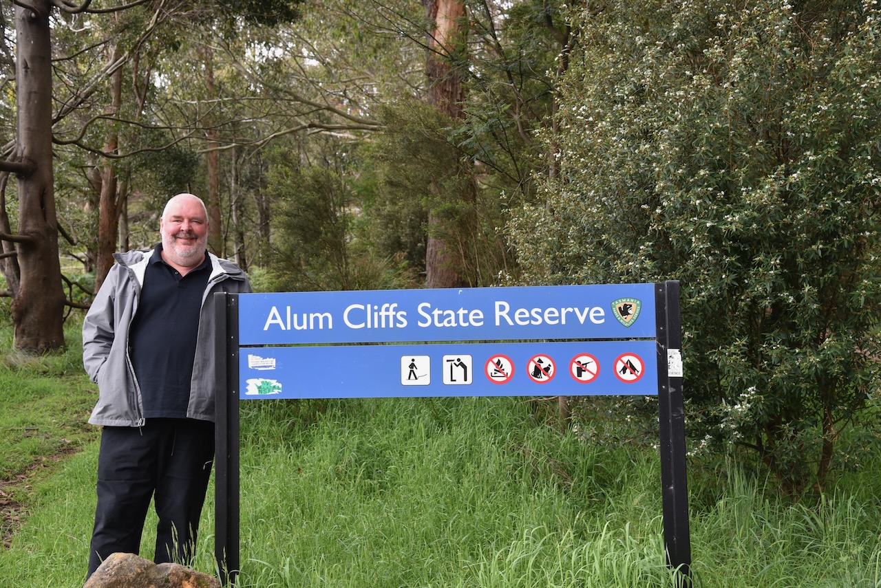
Marija and I then headed to our next park for the day, the Alum Cliffs State Reserve VKFF-1790, located just a short distance from Mole Creek.
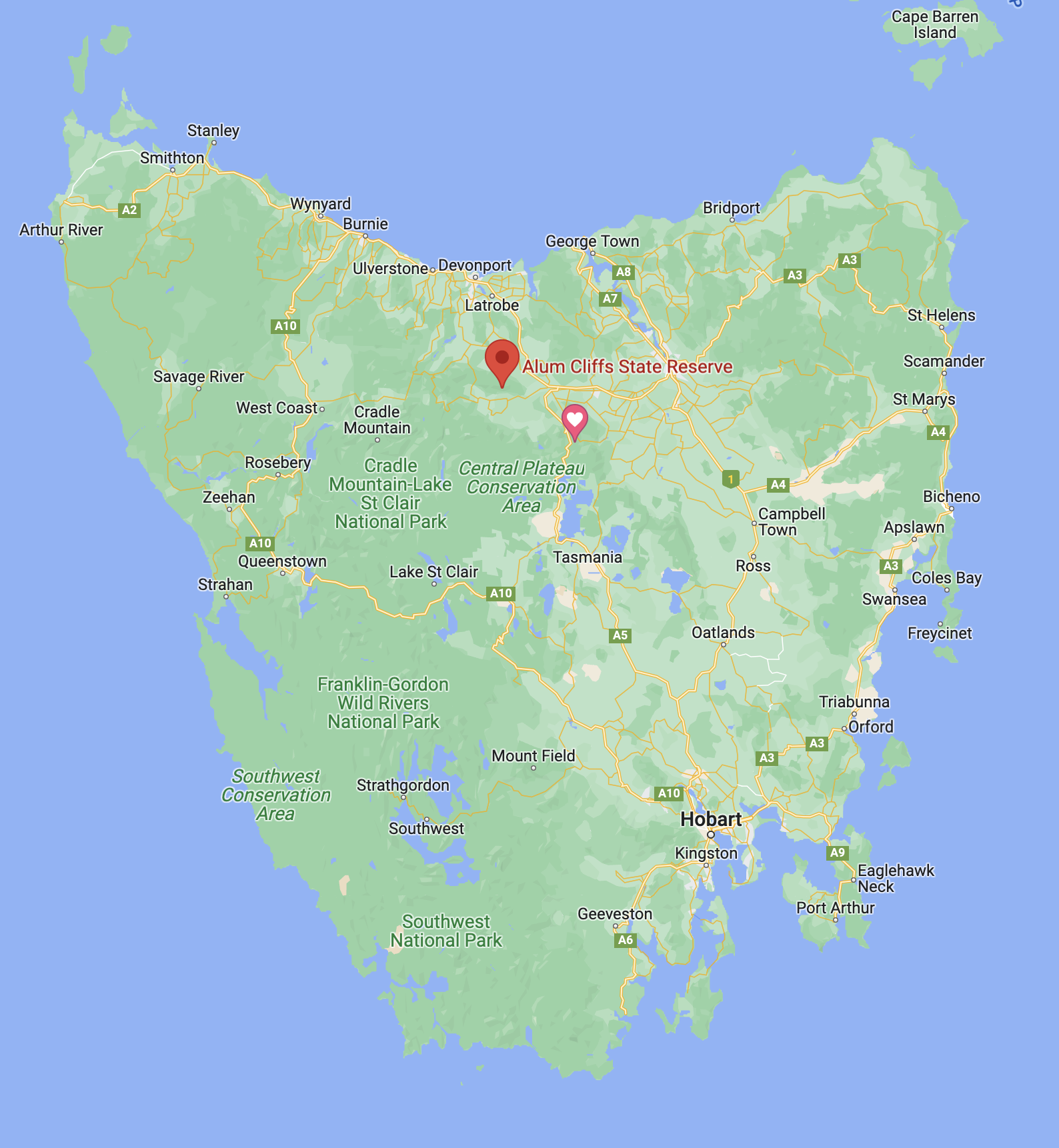
Above:- Map of Tasmania showing the location of Alum Cliffs. Map c/o Google maps.
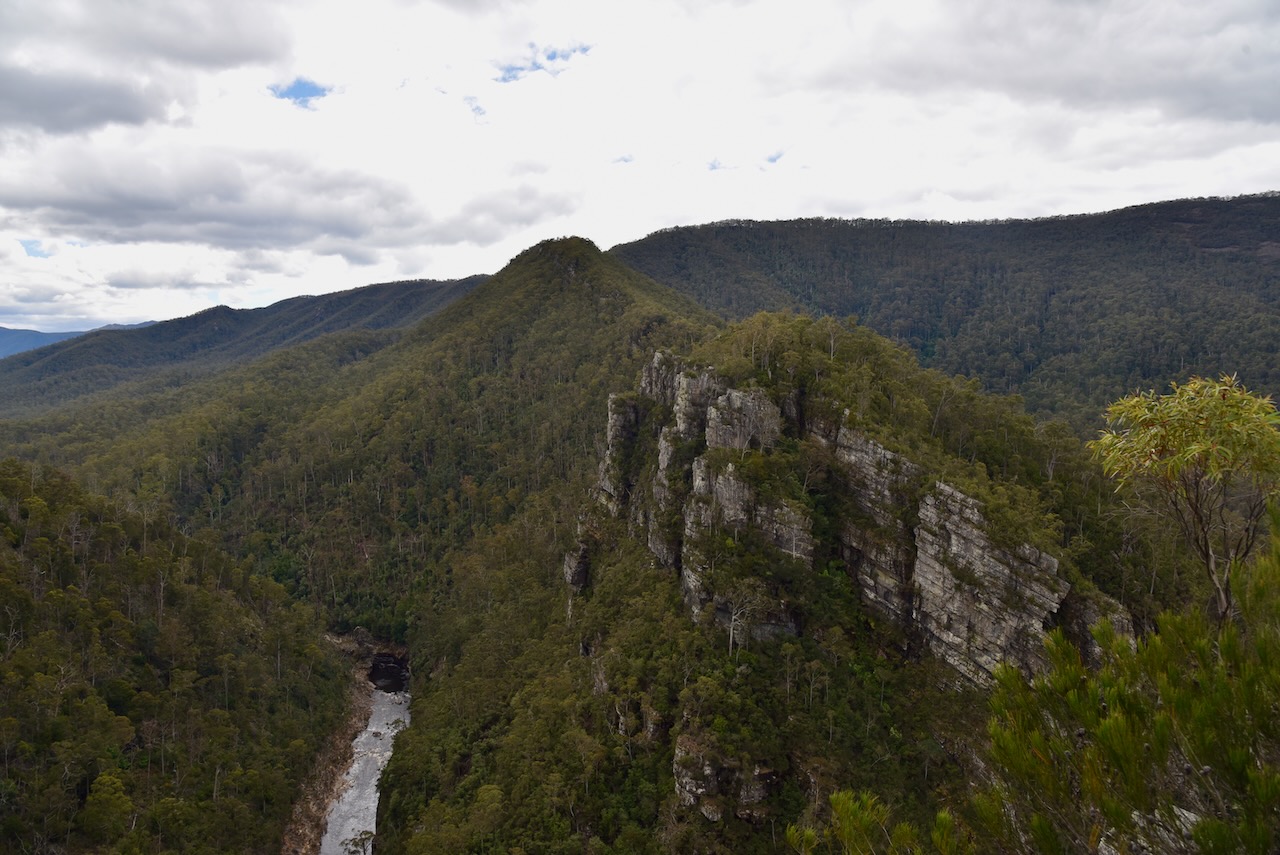
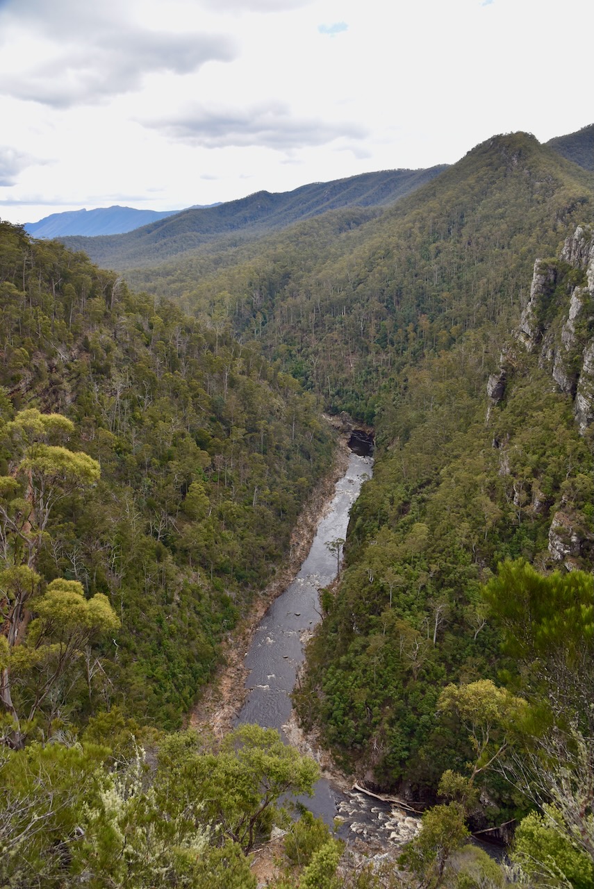
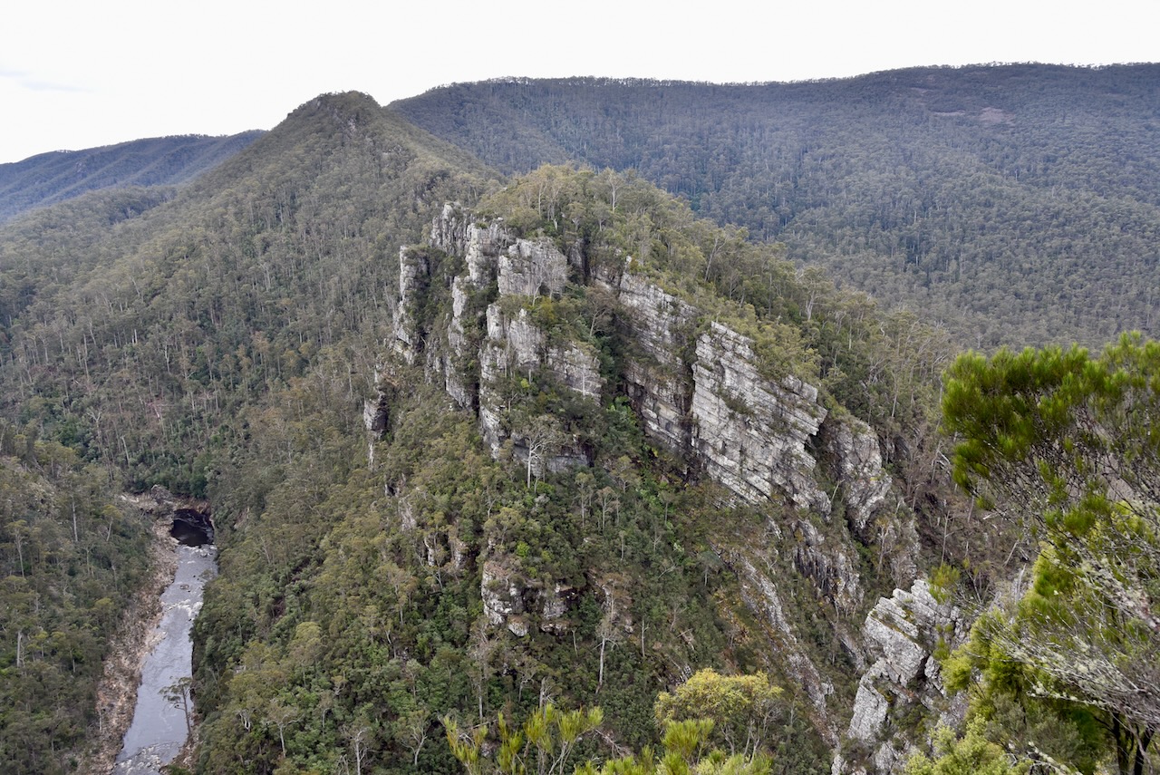
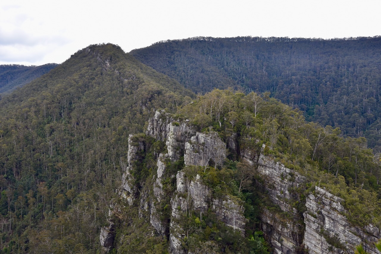
The Alum Cliffs are located within the Alum Cliffs State Reserve and form part of the Gog Range.

Above:- An aerial view of the Allum Cliffs State Reserve. Image c/o Google maps.
The “Alum” portion of the park’s name derives from the alum compound that is found in the local rocks.
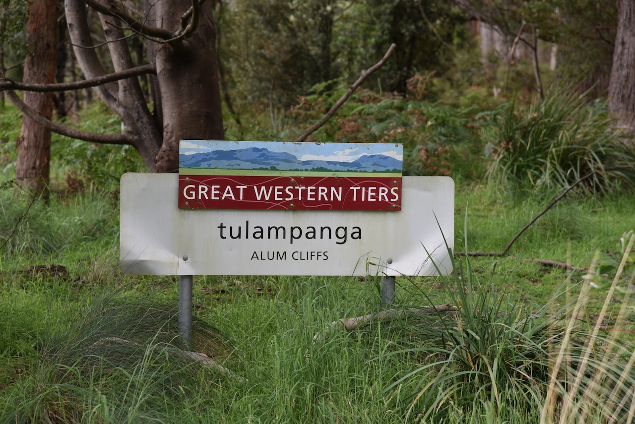

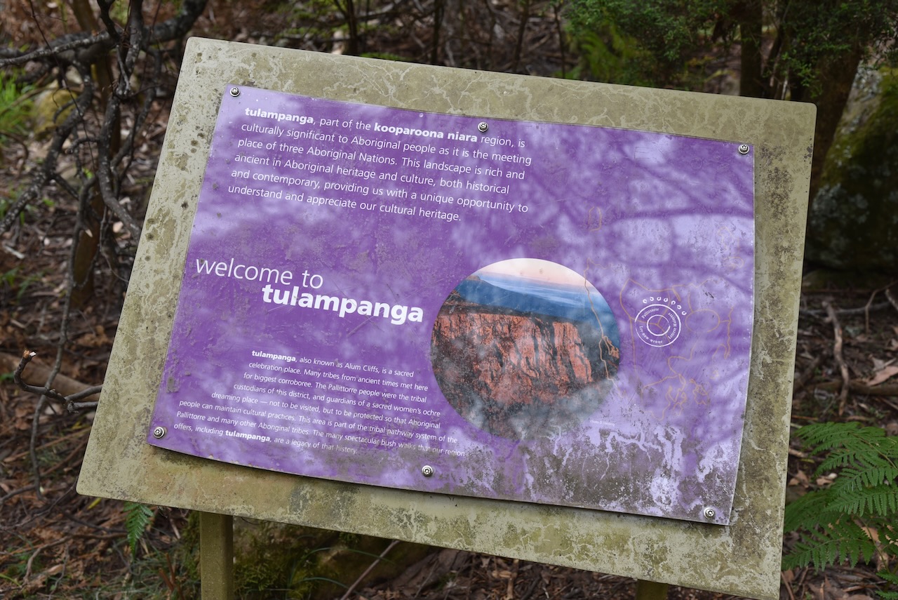
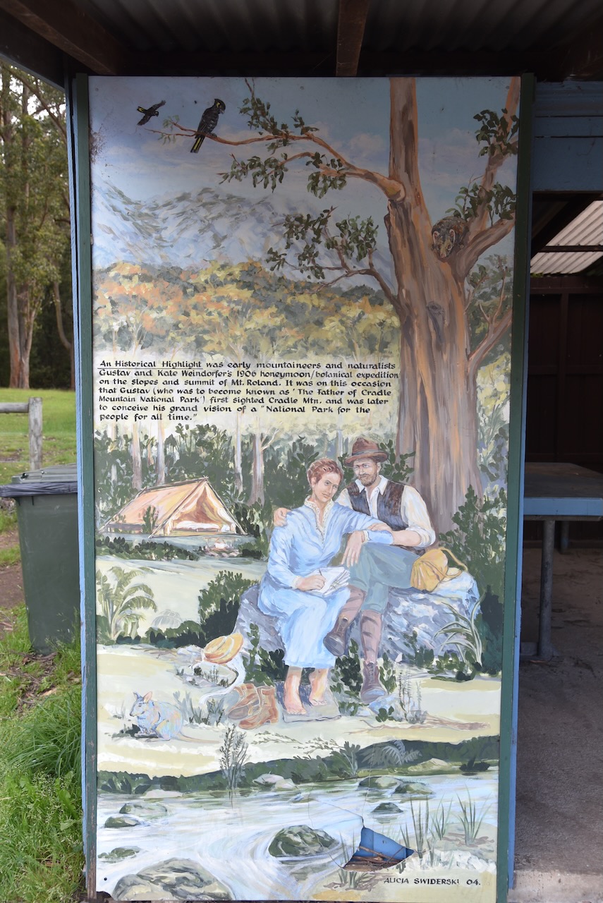
The aboriginal name for Alum Cliffs is tulampanga meaning red ochre hill. It was a place of social and spiritual significance to the Palitorree aboriginal people and other visiting tribes.
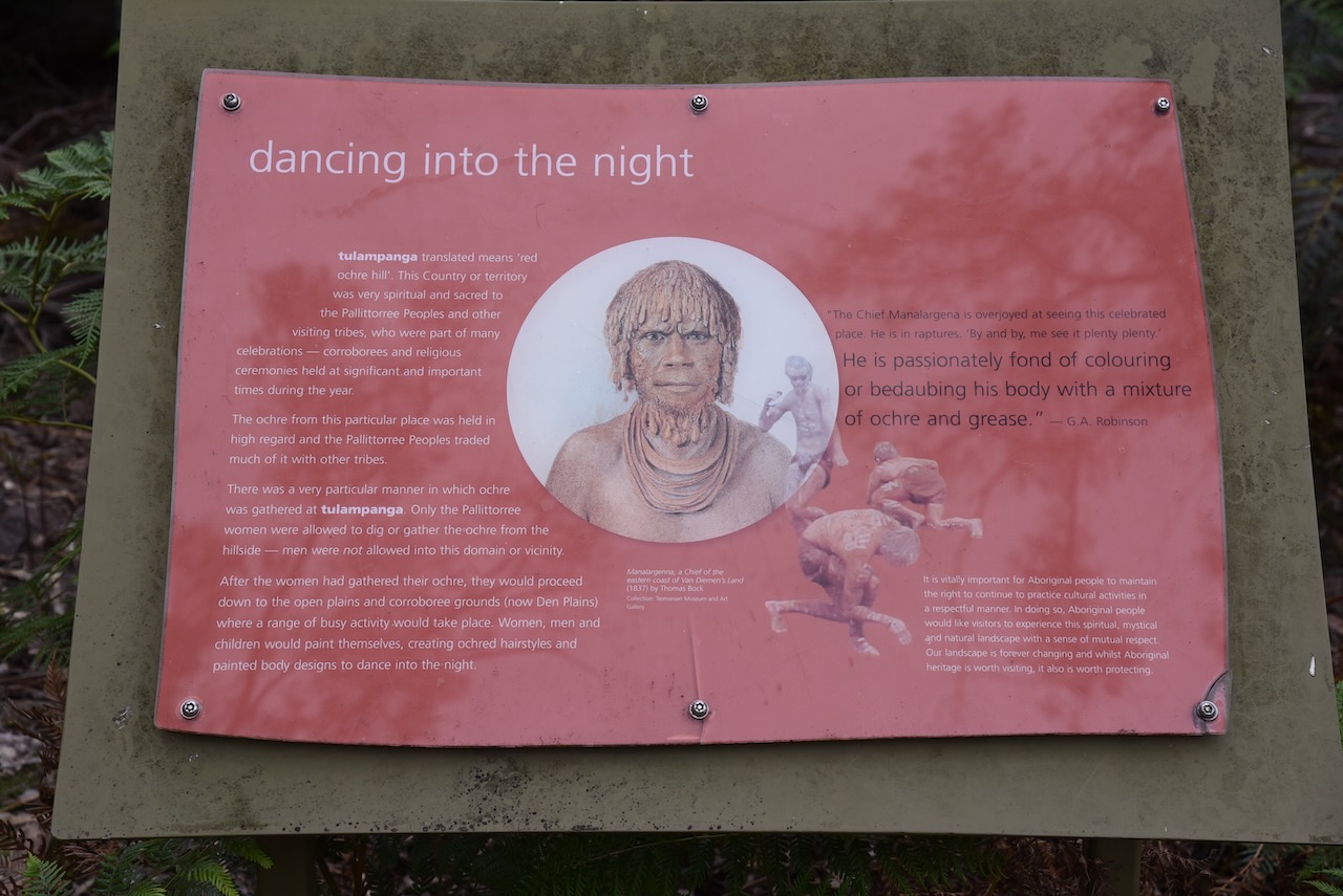
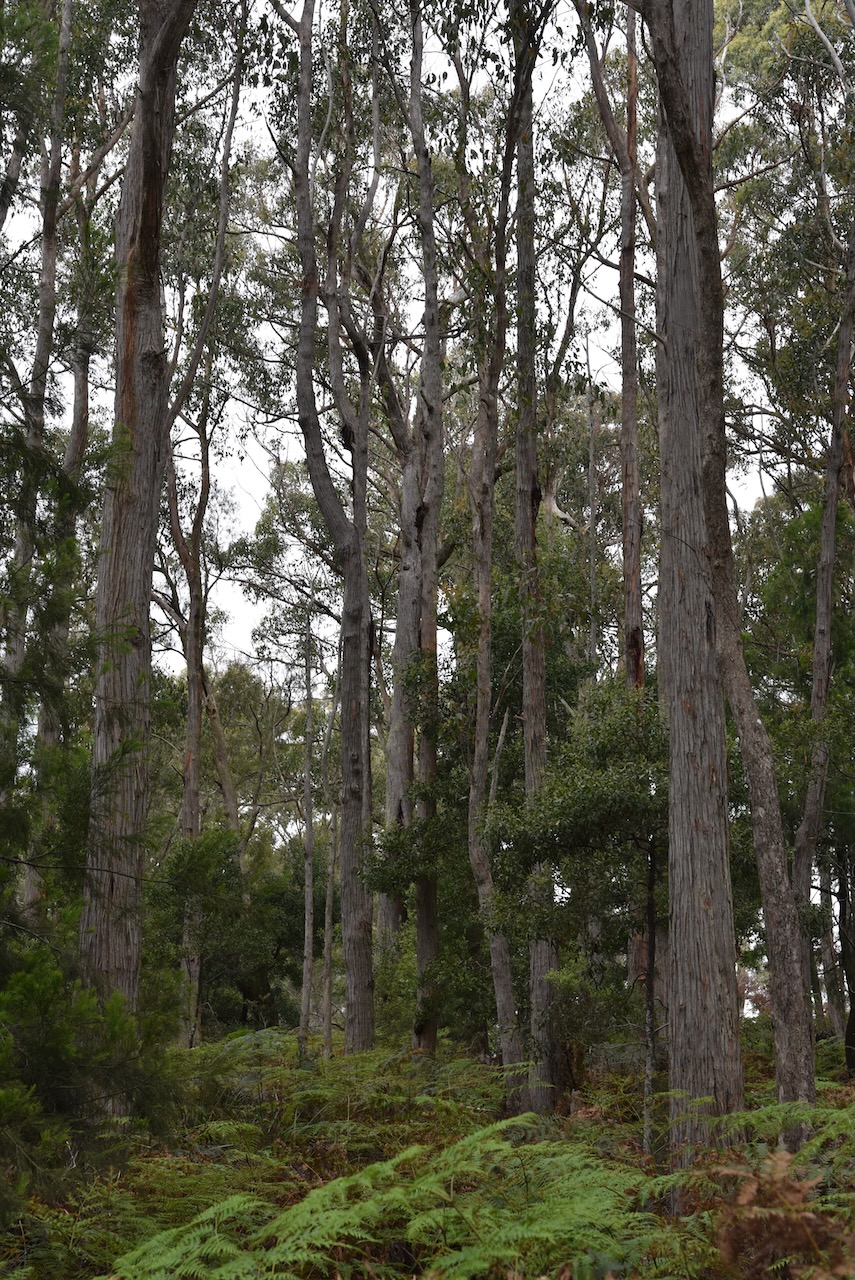
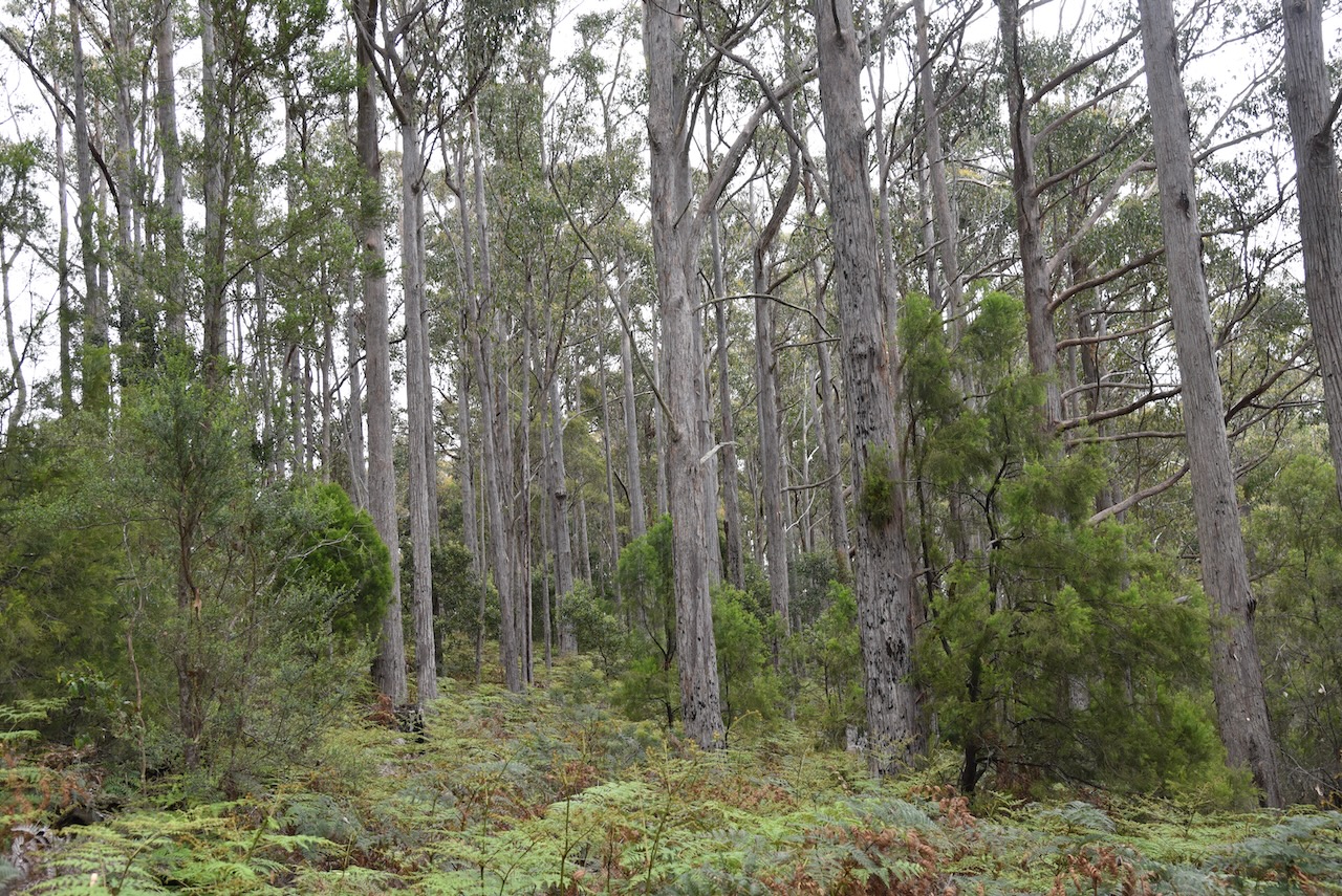
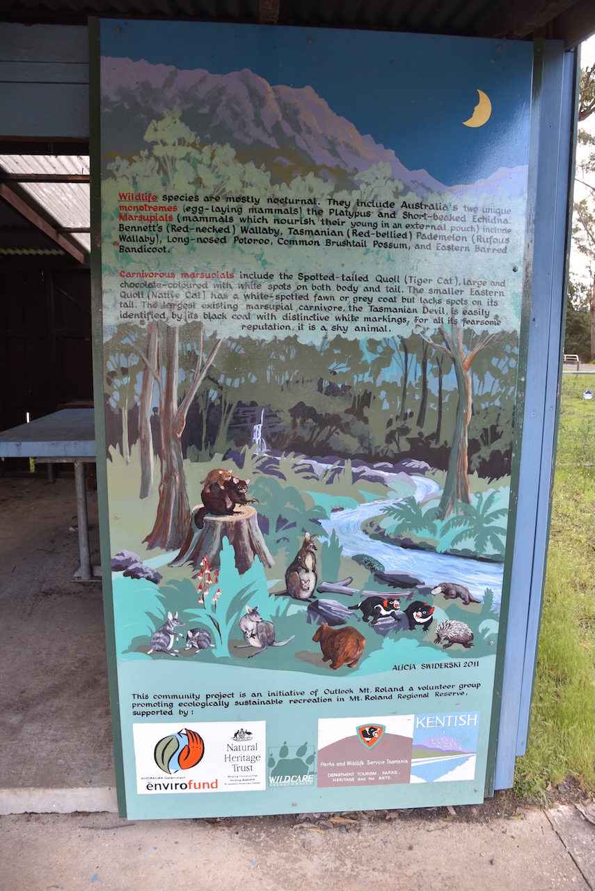
The walk to the lookout from the carpark is about 1.6 km in length and is about 40-50 minute return. It takes you through beautiful forest to the lookout. There are a number of information boards along the way.

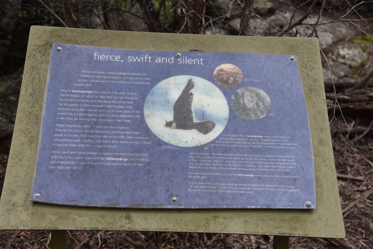
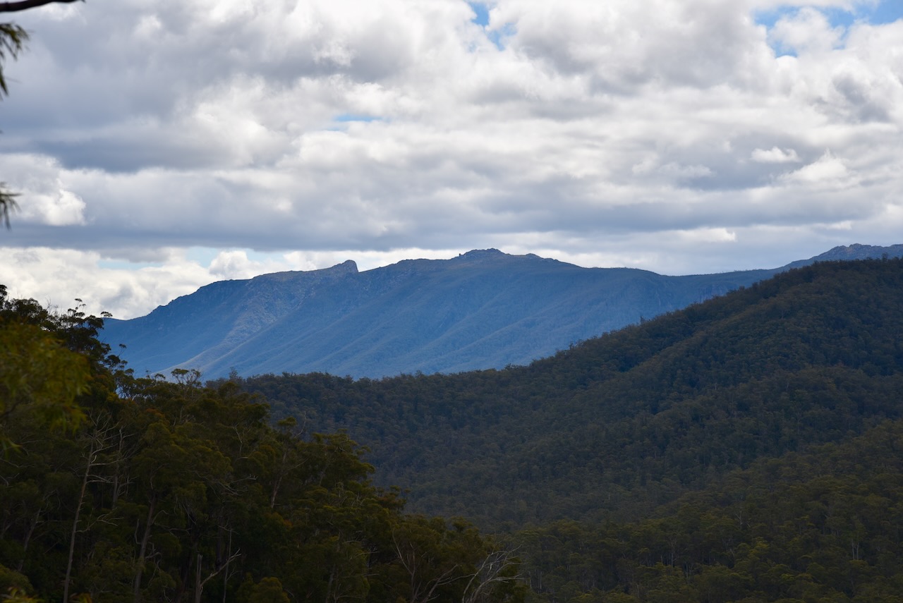
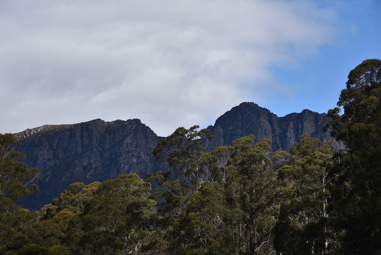
The lookout offers spectacular views of the 200 metre high cliffs which sit above the Mersey River flowing through the ALlum Cliffs gorge. You can view the Great Western Tiers, which was known as Kooparoona Niara meaning the Mountains of the Spirits.


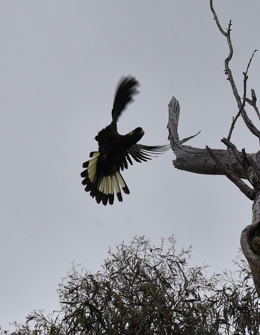
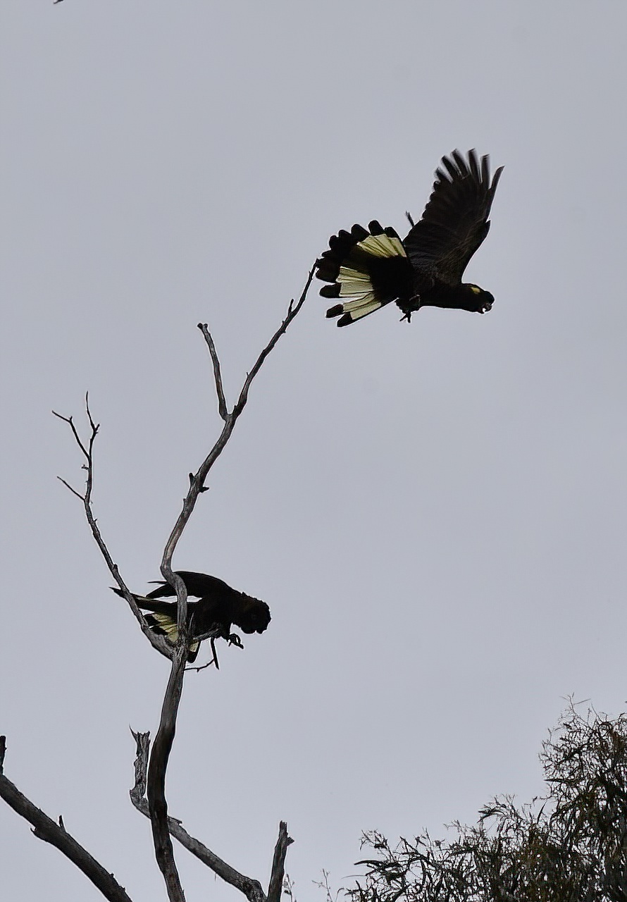
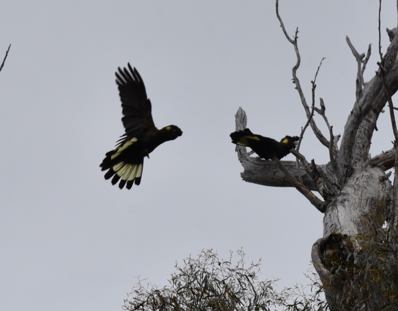
We walked back to the 4WD and along the way we stopped to watch a flock of Yellow Tailed black cockatoos.
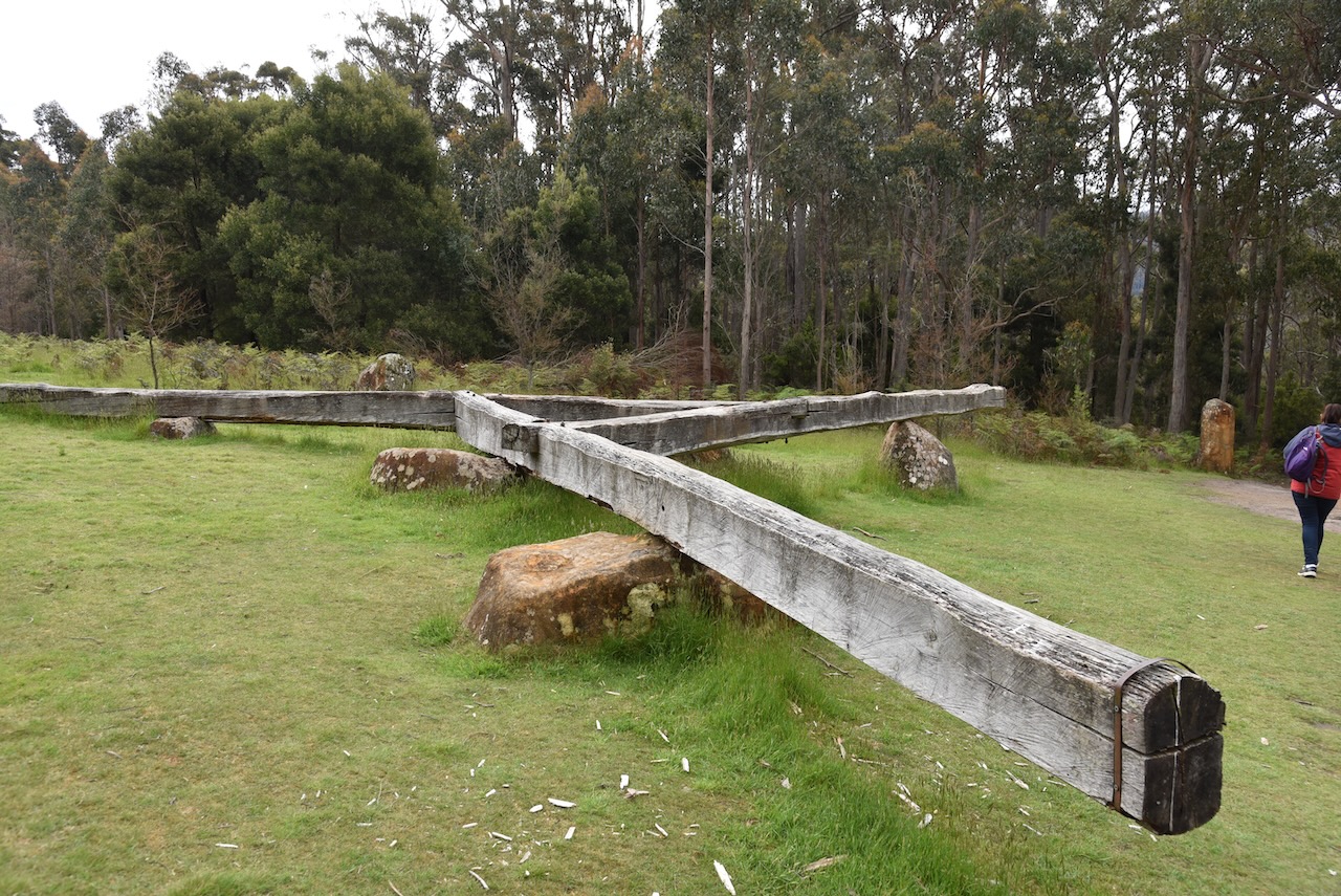
Once we got back to the car we had to walk a short distance back down the Alum Cliffs track to set up as the carpark is not within the boundary of the park. We ran the Yaesu FT857, 40 watts and the 20/40/80m linked dipole for this activation.

Above:- The Alum Cliffs State Reserve. Image c/o Google Earth.
Marija worked the following stations on 40m SSB:-
- VK3SQ
- VK3VIN
- VK2EXA
- VK3PF
- VI2022PRIDE
- VK2HHA
- VK3AWA
- VK3AMO
- VK3ZSC
- VK7GW
- VK3UH
I worked the following stations on 40m SSB:-
- VK3SQ
- VK3VIN
- VK2EXA
- VK3PF
- VI2022PRIDE
- VK2HHA
- VK3AWA
- VK3AMO
- VK3ZSC
- VK7GW
- VK3UH
- VK2MET
- VK1AO
- VK5VK
I worked the following stations on 20m SSB:-
- VK4TJ
- VK2MET
- VK1AO
It was getting late and we had a booking that evening at Devils@Cradle, so we packed up and headed back towards Cradle Mountain Lake St Clair National Park.
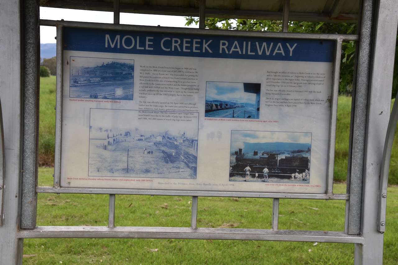
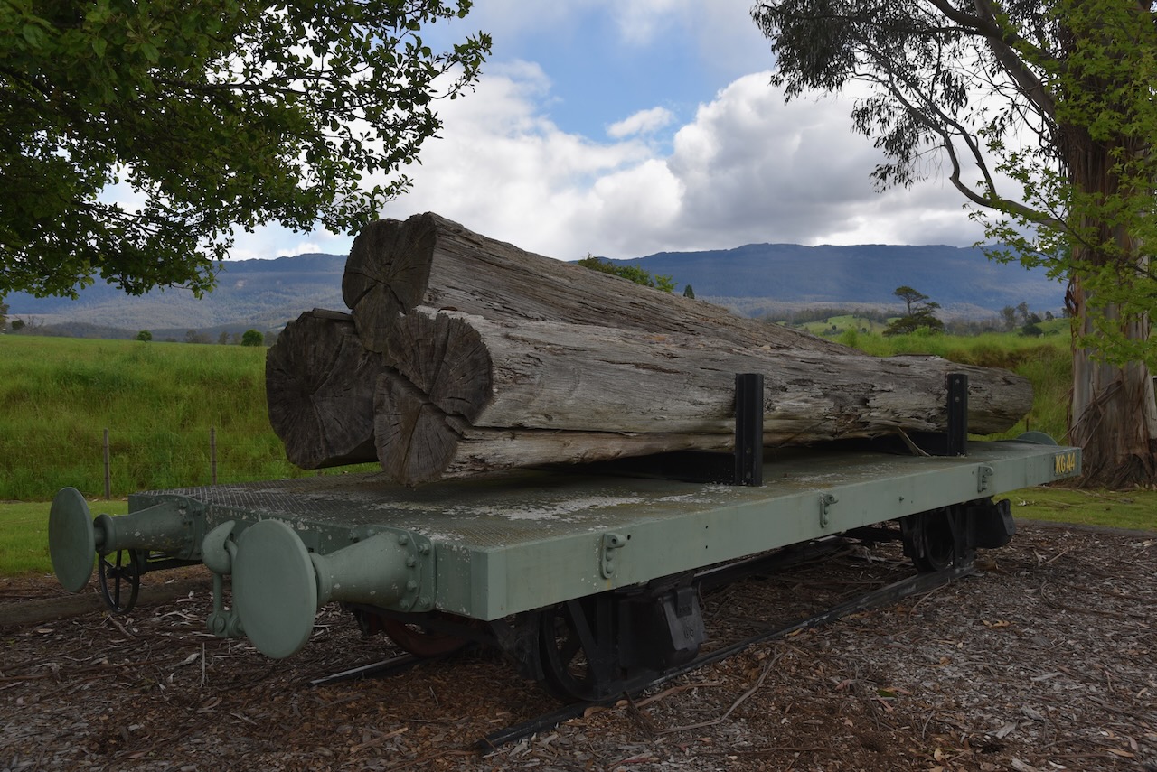
We stopped briefly upon getting back into Mole Creek to view some of the information boards including one on the old Mole Creek railway. Work commenced on the Mole Creek branch line in 1888 and was completed in 1890 at a total cost of 67,000 pounds. The line was officially closed in February 1992, with the track being dismantled soon after.

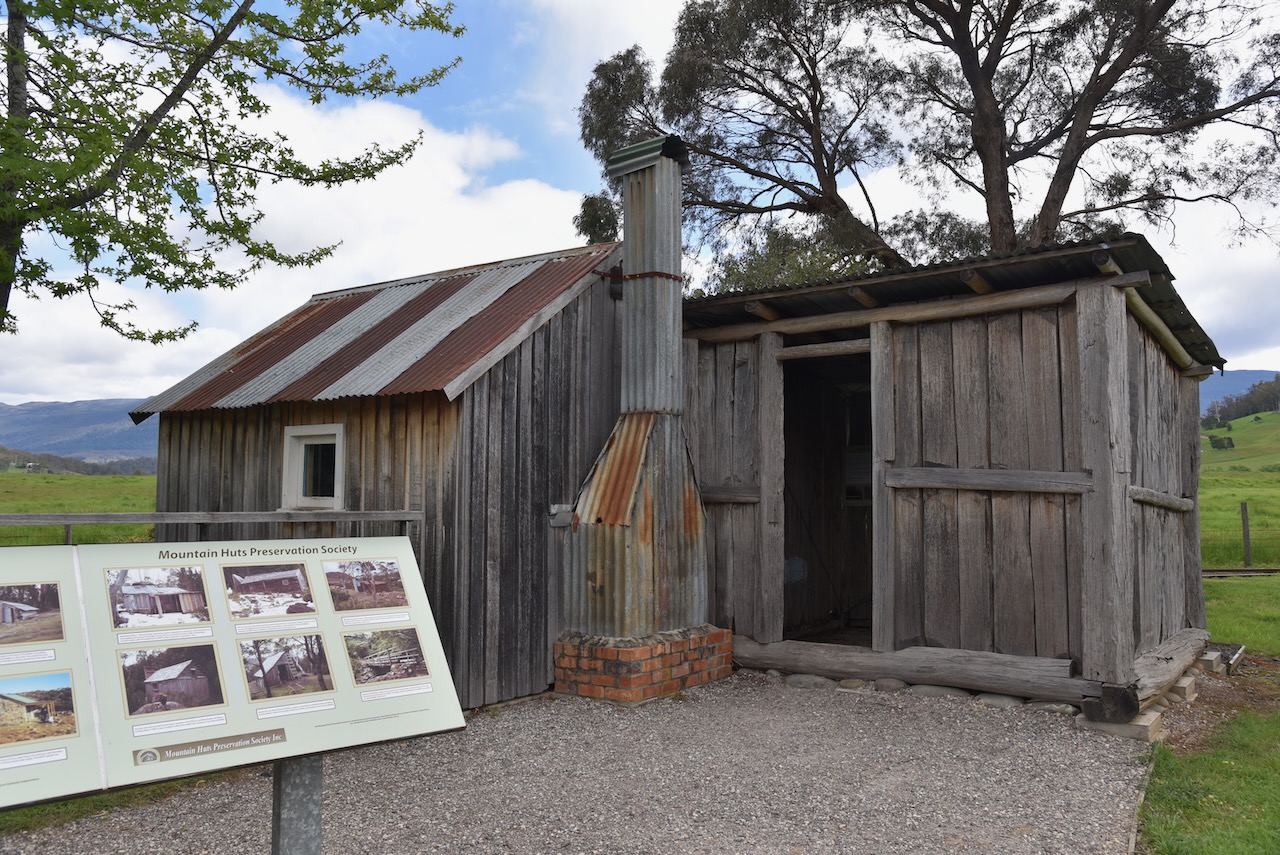
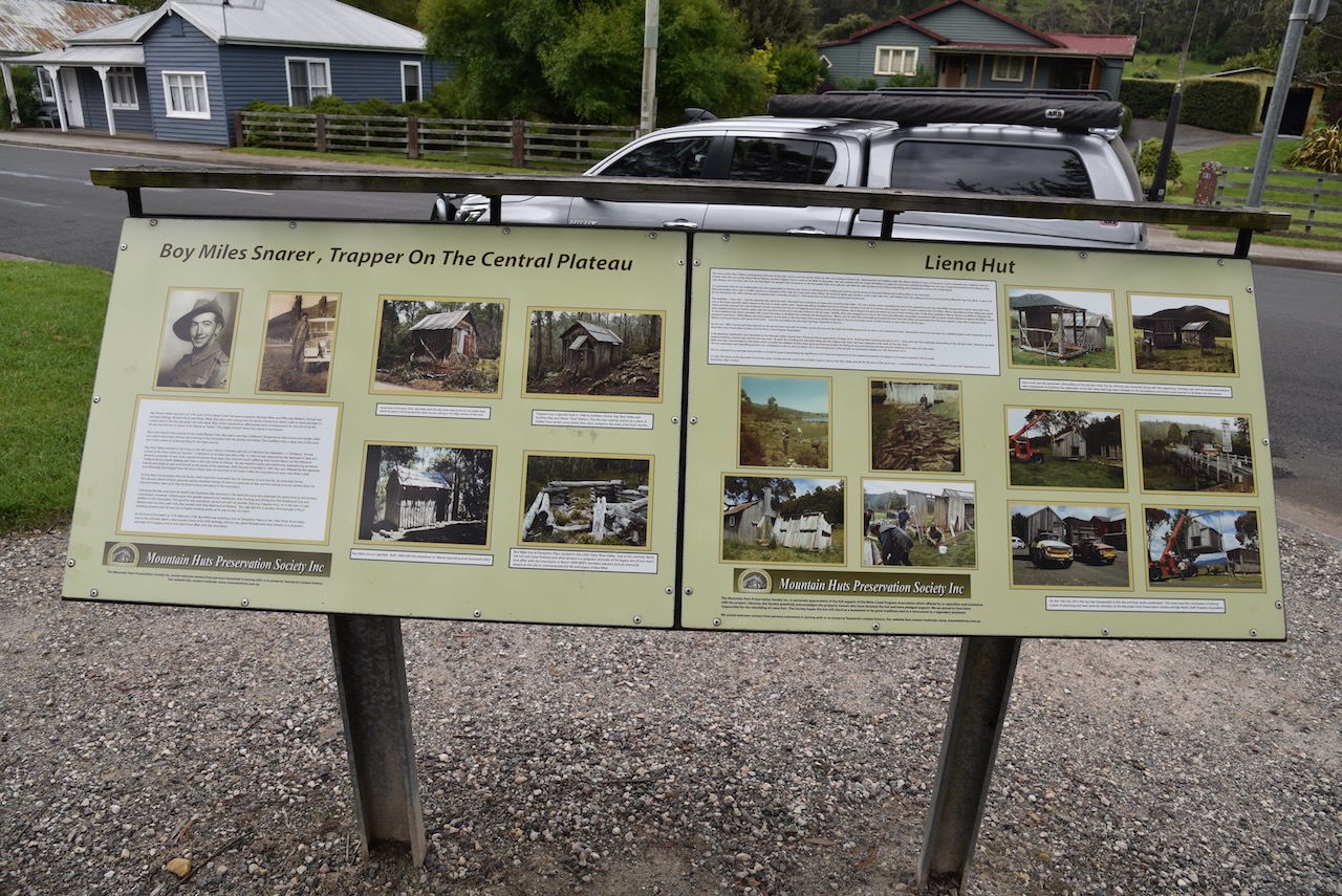
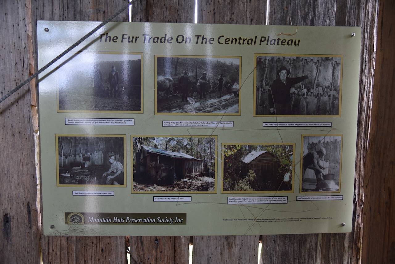
Liena Hut. The Hut was relocated by the Mountain Hut Preservation Society from a property at Liena which was once owned by Ray ‘Boy’ Miles. Renowned for his building skills, Boy Miles is linked to many of Tasmania’s iconic mountain huts.

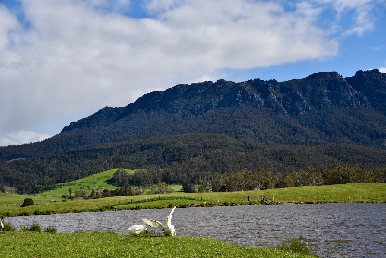
As we drove along Claude Road we were rewarded with some brilliant views of Mount Roland.

We stopped at O’Neills Creek Picnic Reserve at Gowrie Park. There was a rainforest walk here, but sadly we were running out of time.


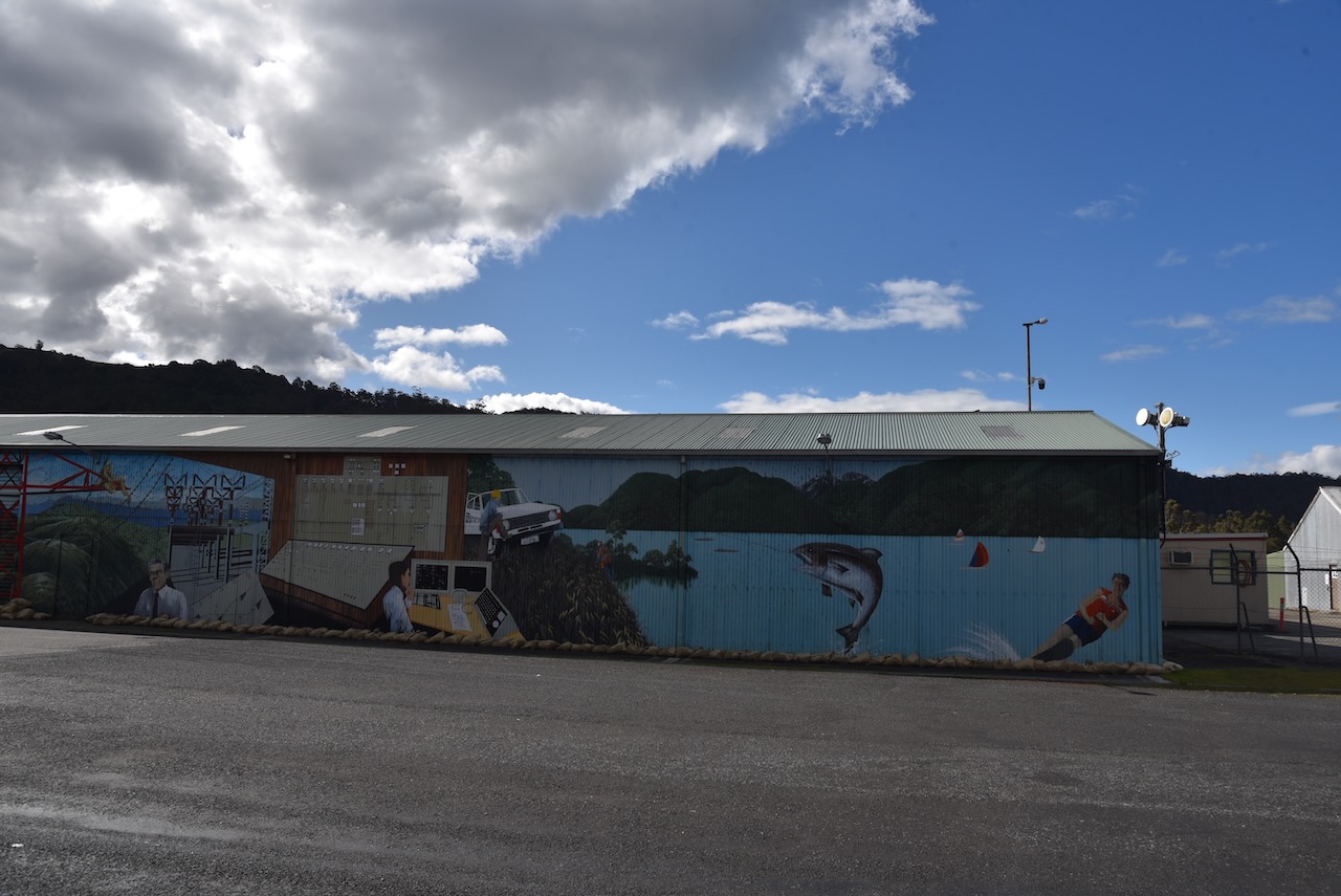
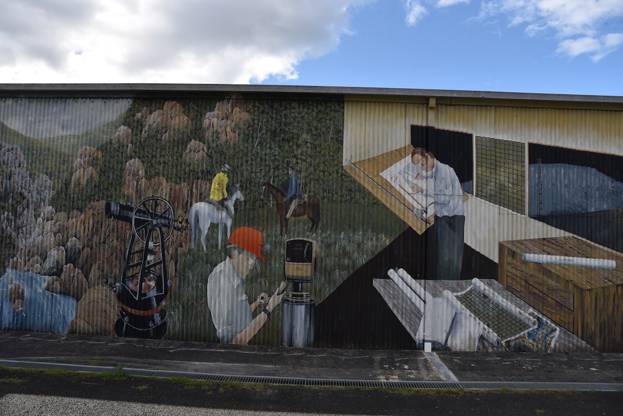
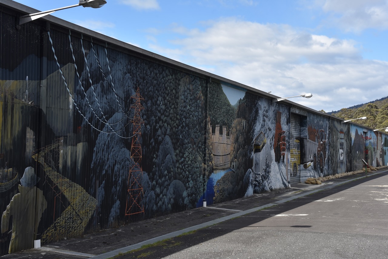
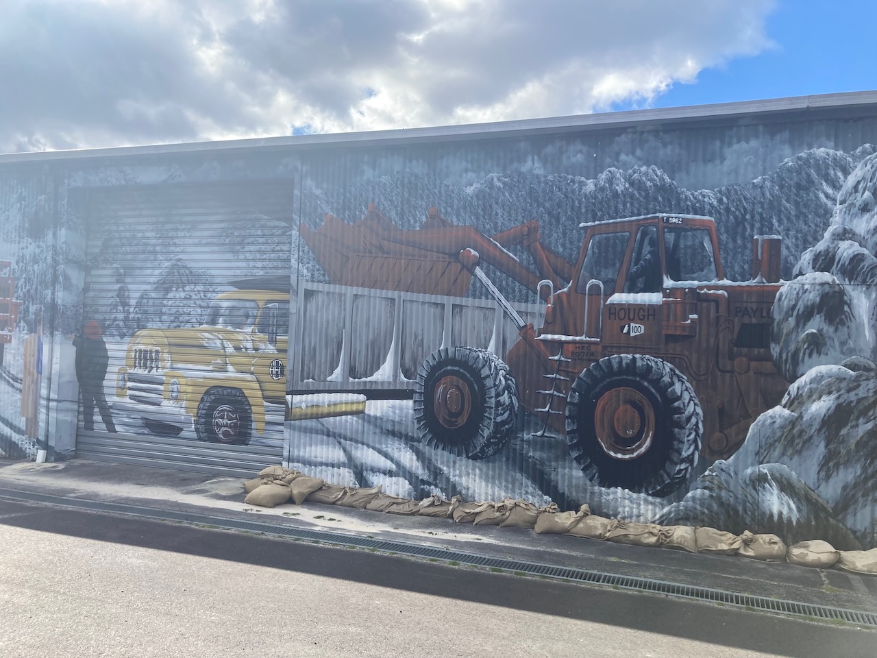
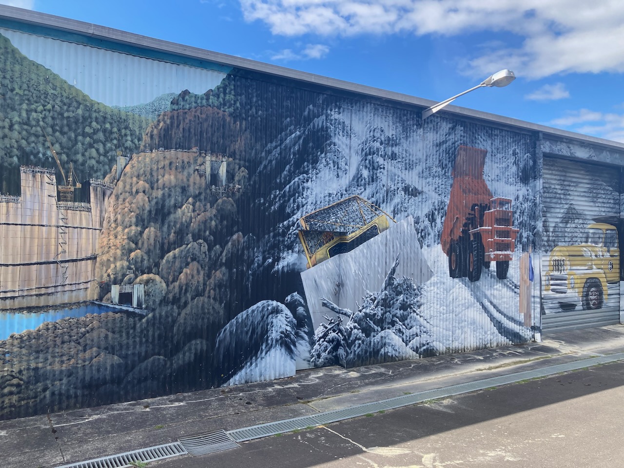
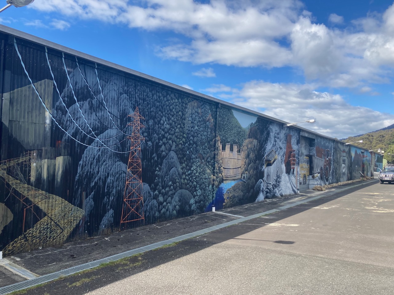
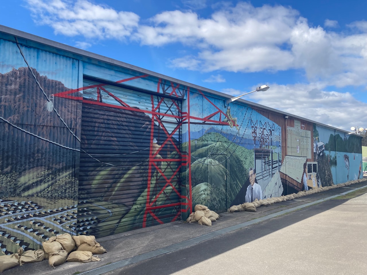
Our next stop was the Mersey Forth Power Development Mural at Gowrie Park. It was painted by local artist John Lendis, assisted by Diane Whiting and was completed in May 1990. It shows various aspects of the Mersey Forth Power Development.


References.
- Mole Creek and Chudleigh, 2023, <http://molecreek.info/natures-wonders/alum-cliffs-lookout/>, viewed 6th January 20223.
- Tasmania Parks and Wildlife Service, 2023, <https://parks.tas.gov.au/things-to-do/60-great-short-walks/alum-cliffs>, viewed 6th January 2023.
- Wikipedia, 2023, <https://en.wikipedia.org/wiki/Mole_Creek>, viewed 6th January 2023.
- Wikipedia, 2023, <https://en.wikipedia.org/wiki/Thylacine>, viewed 6th January 2023.
