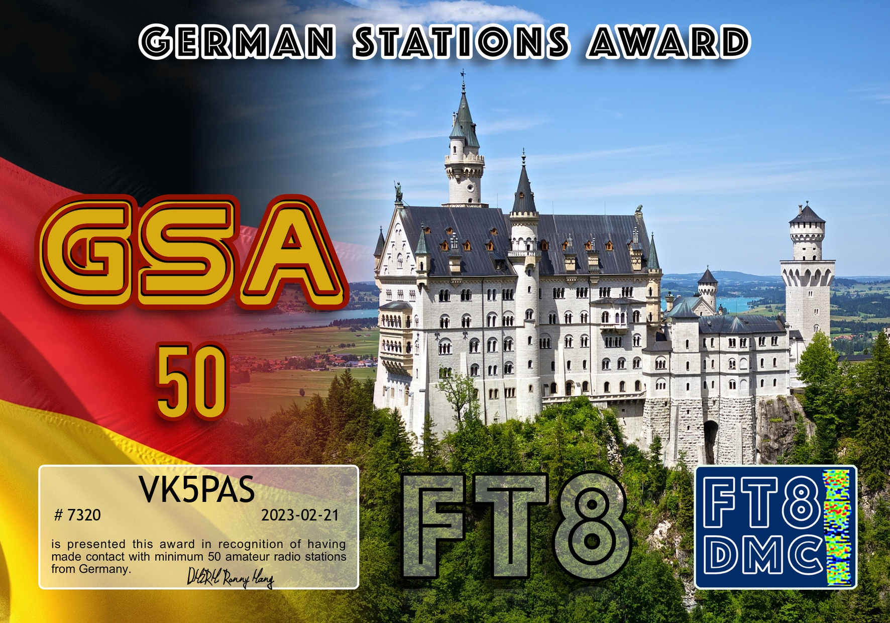
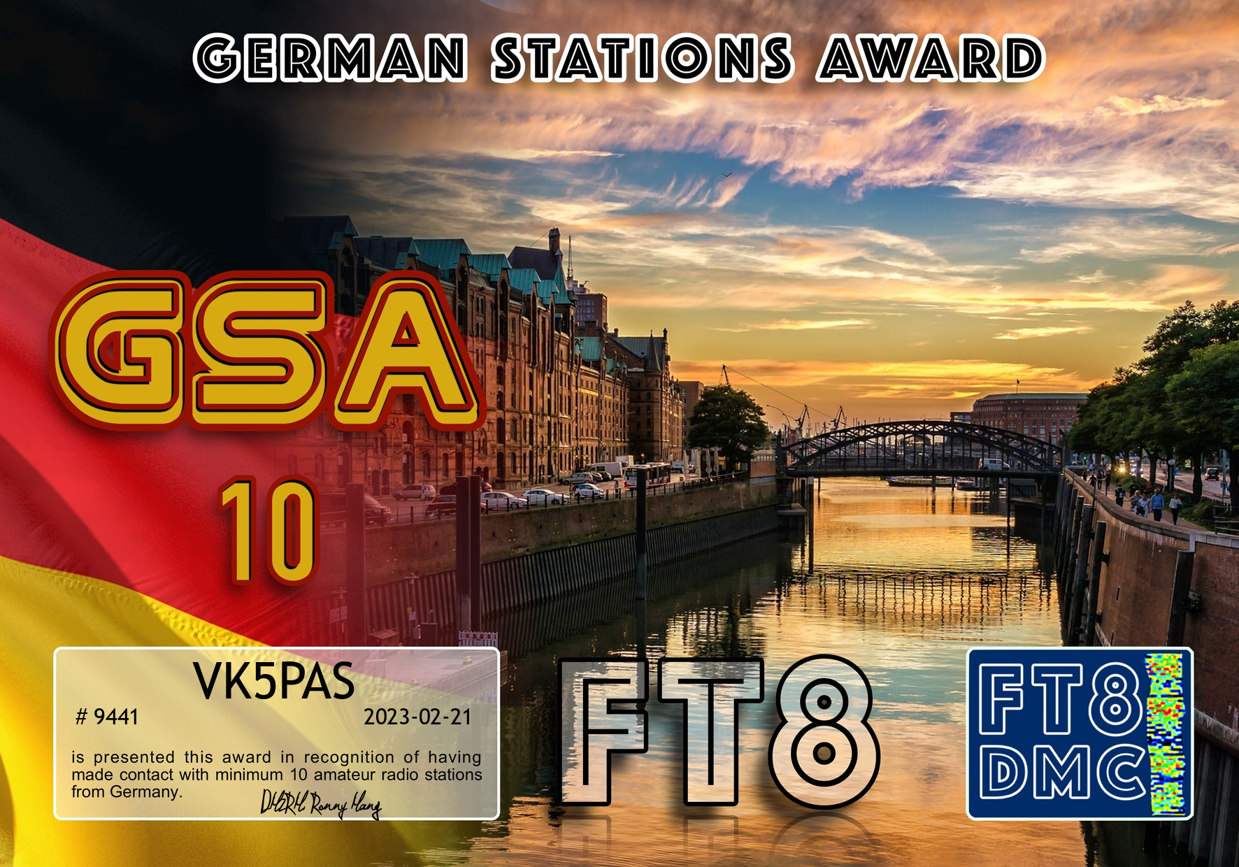
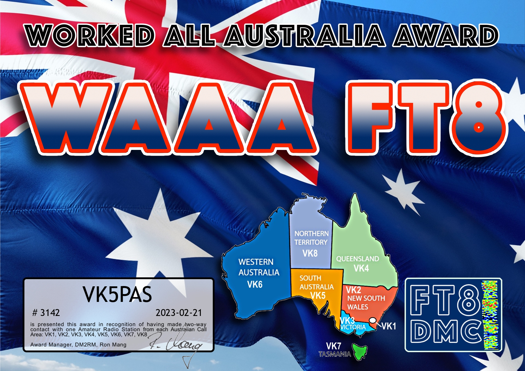
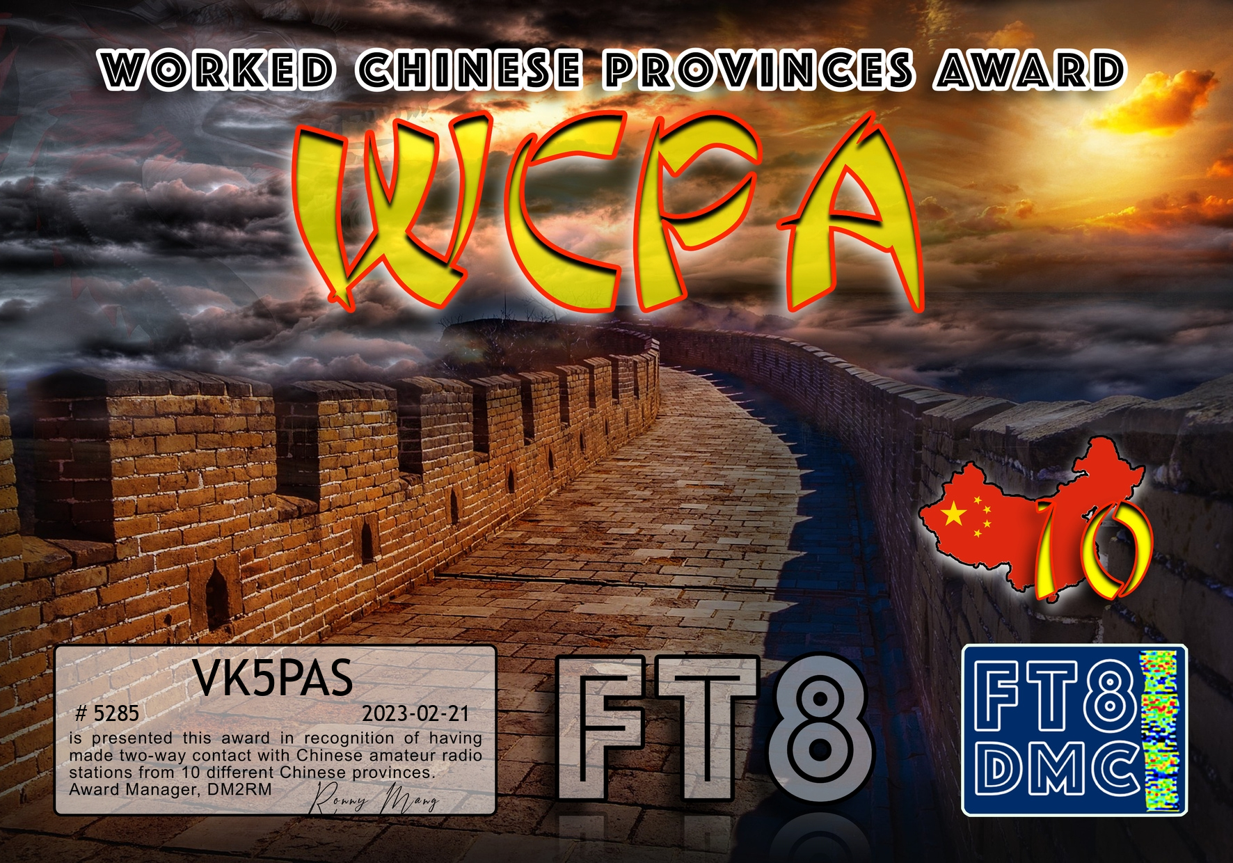
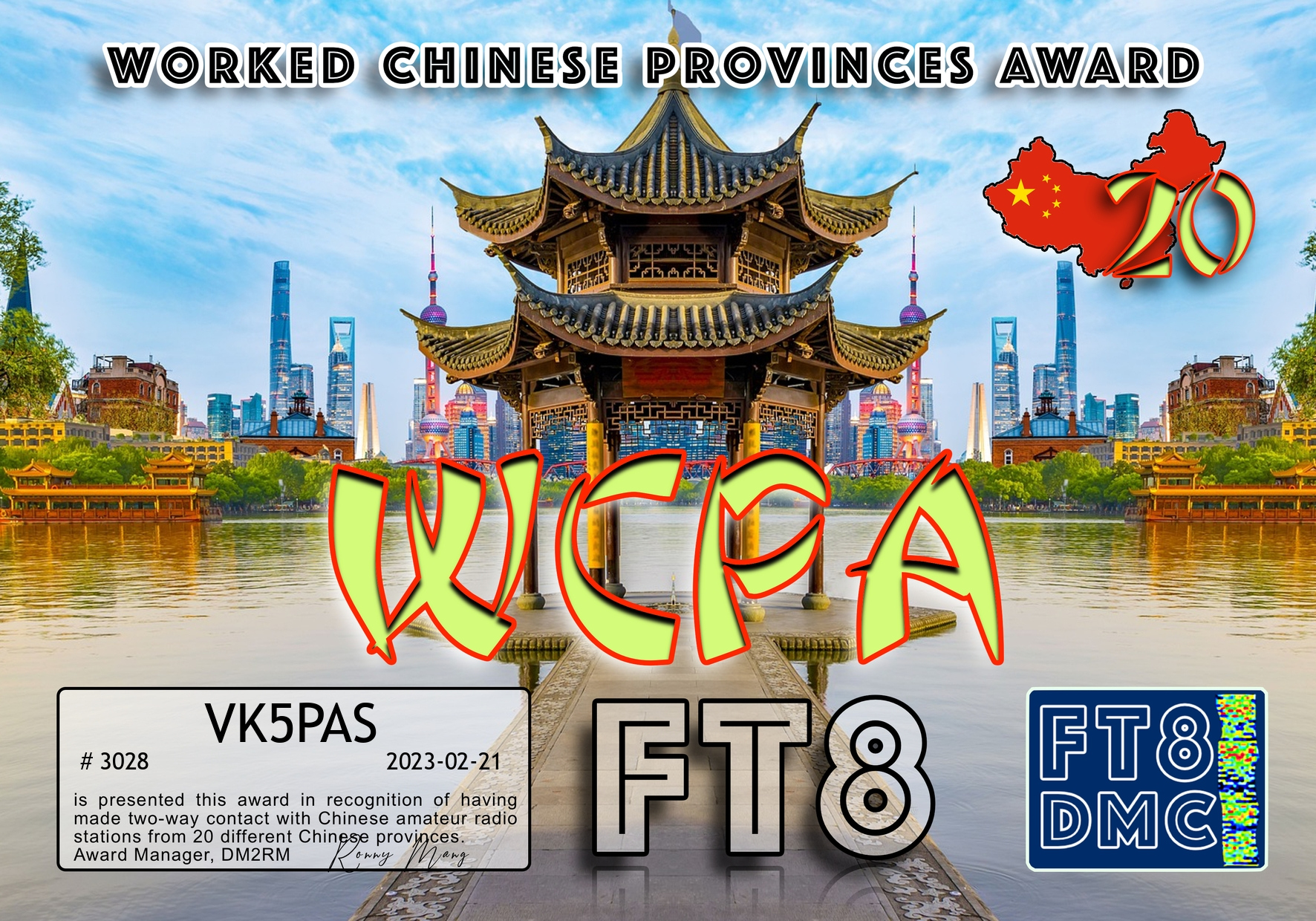
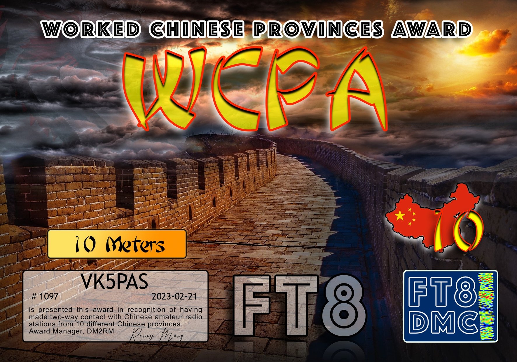
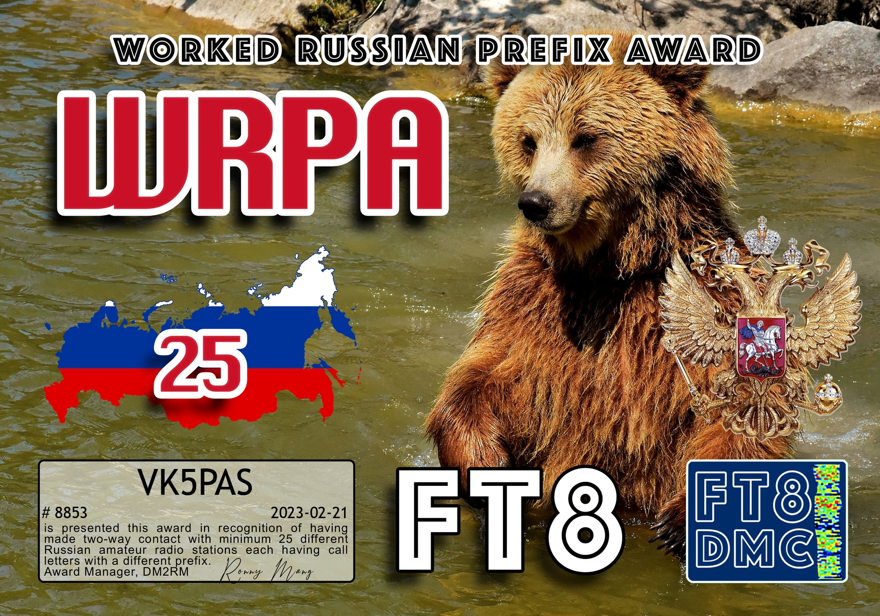
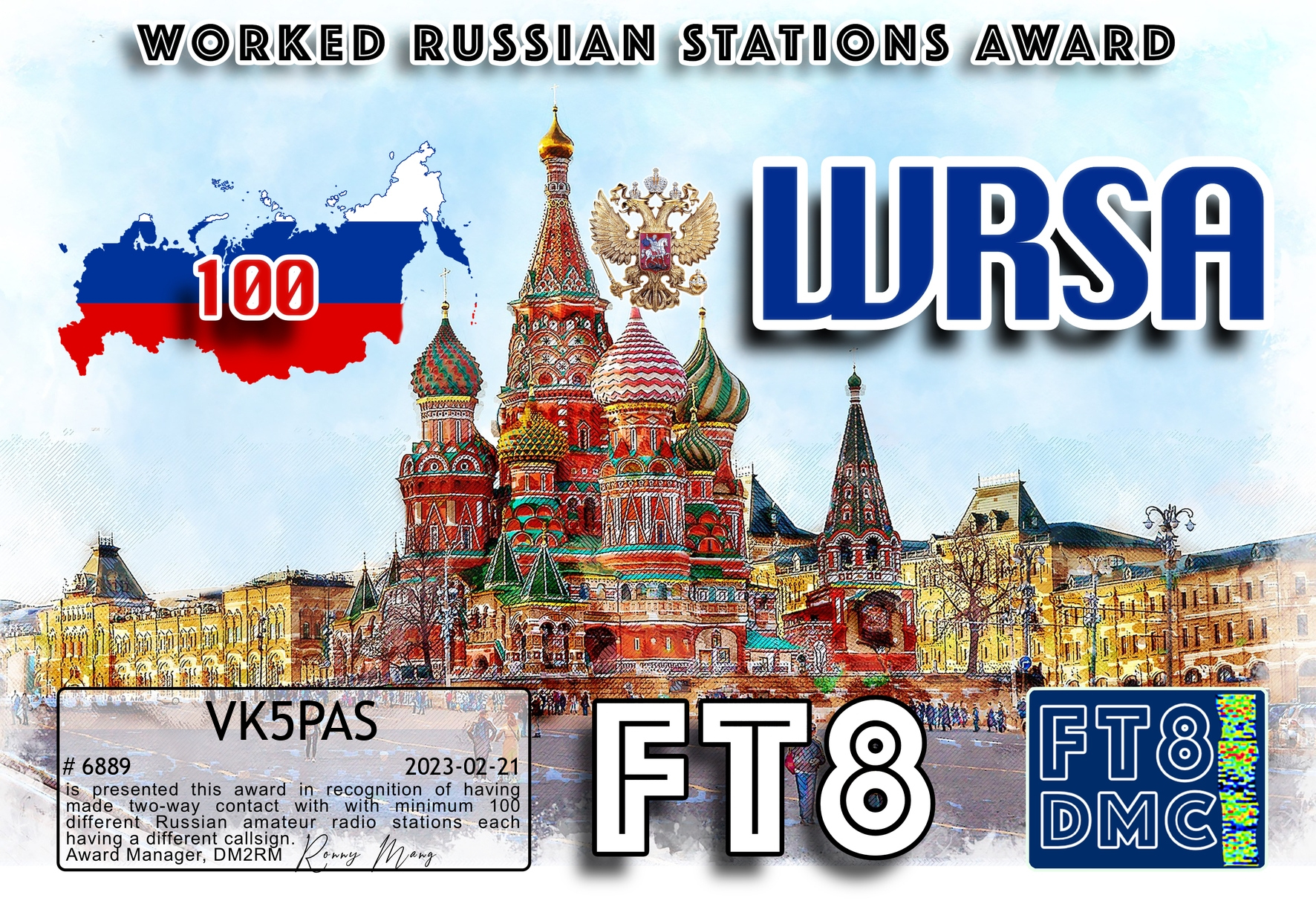
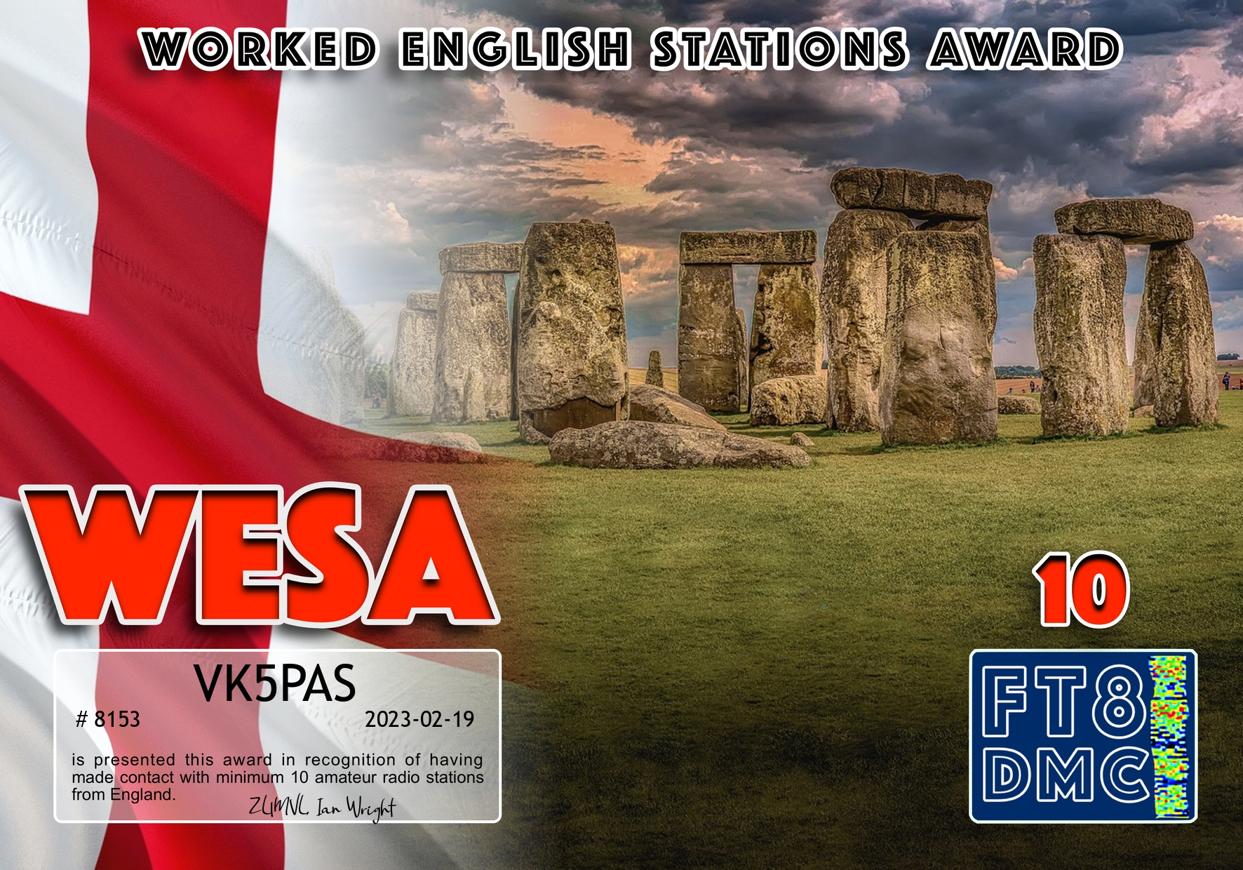
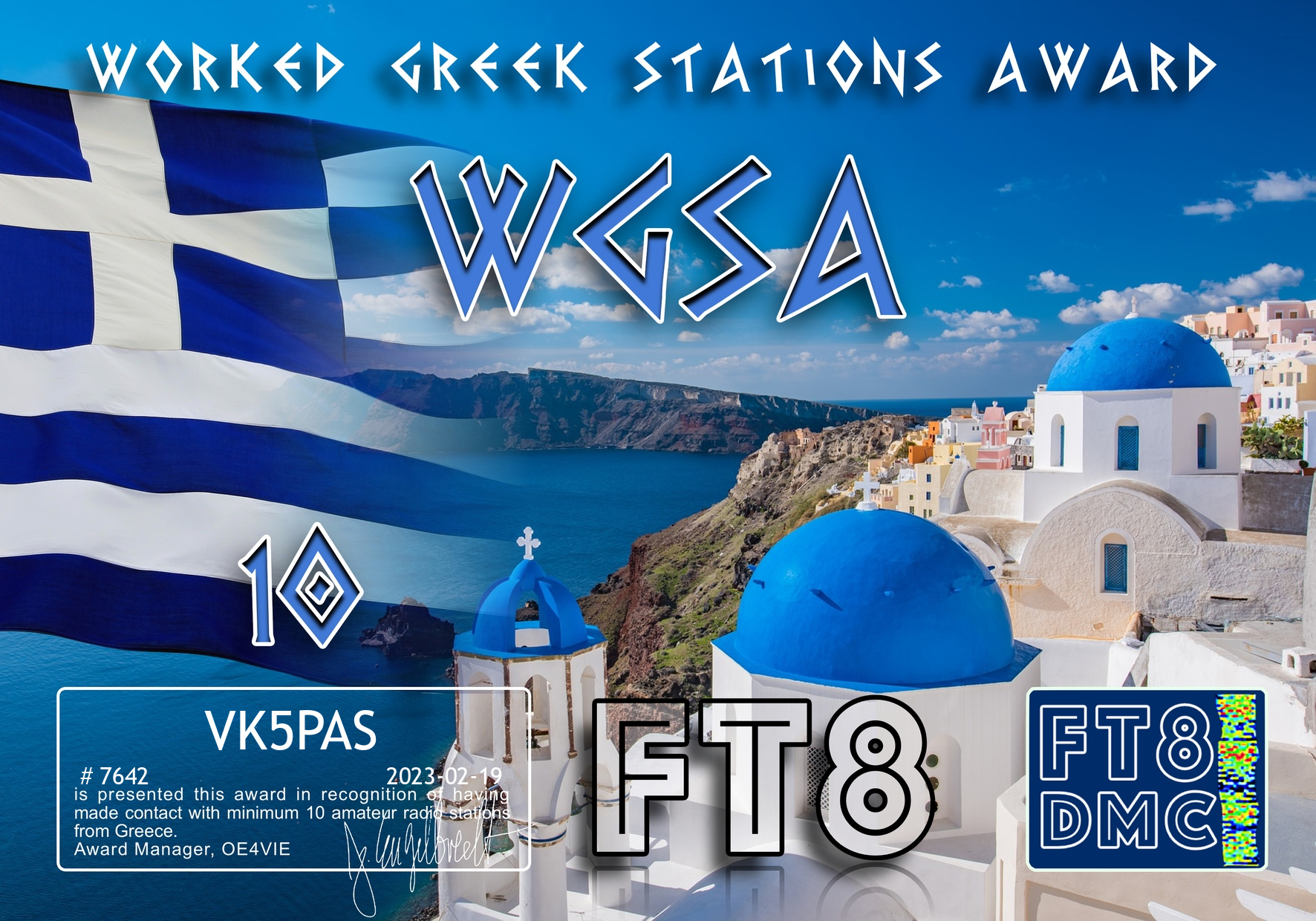
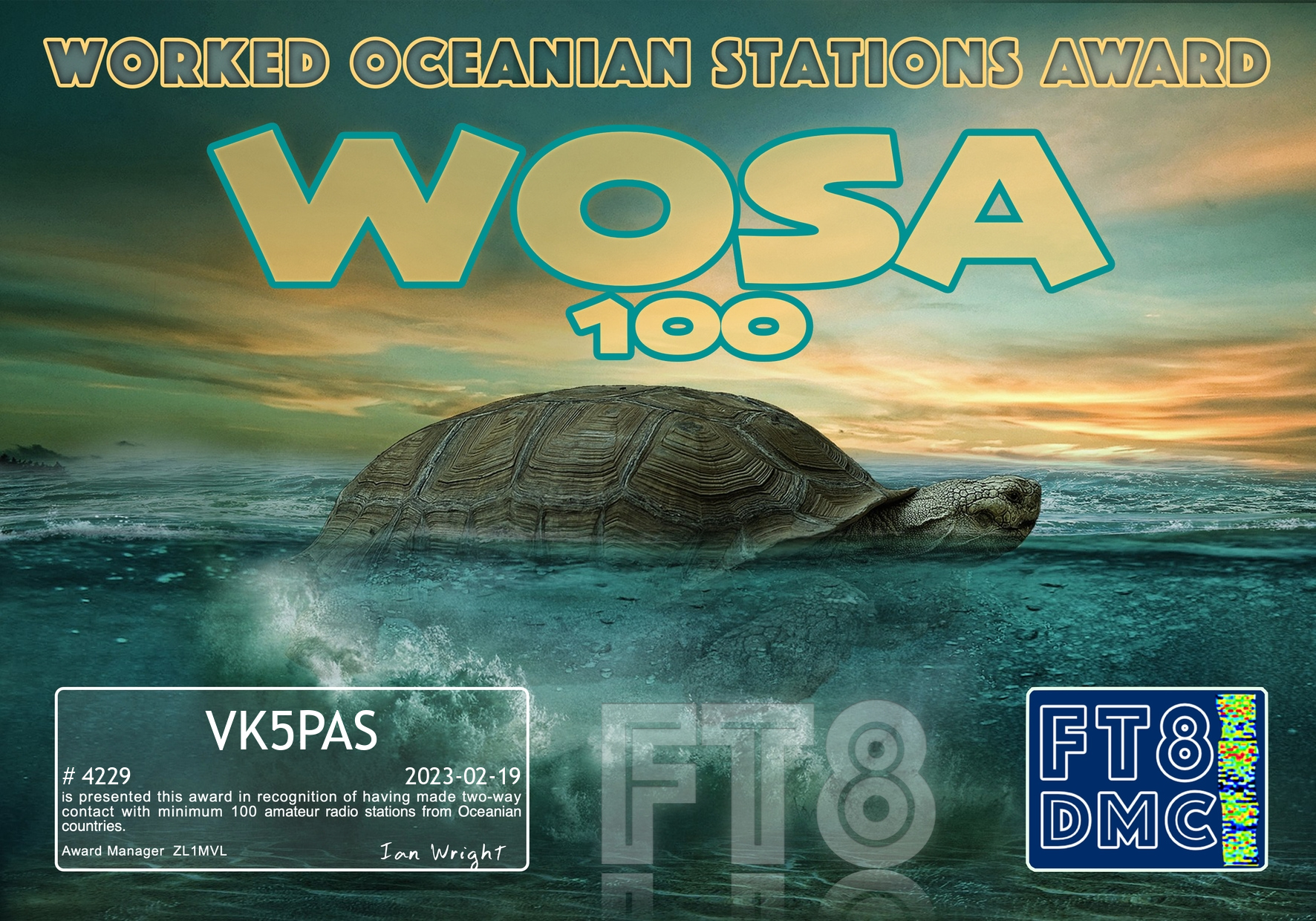
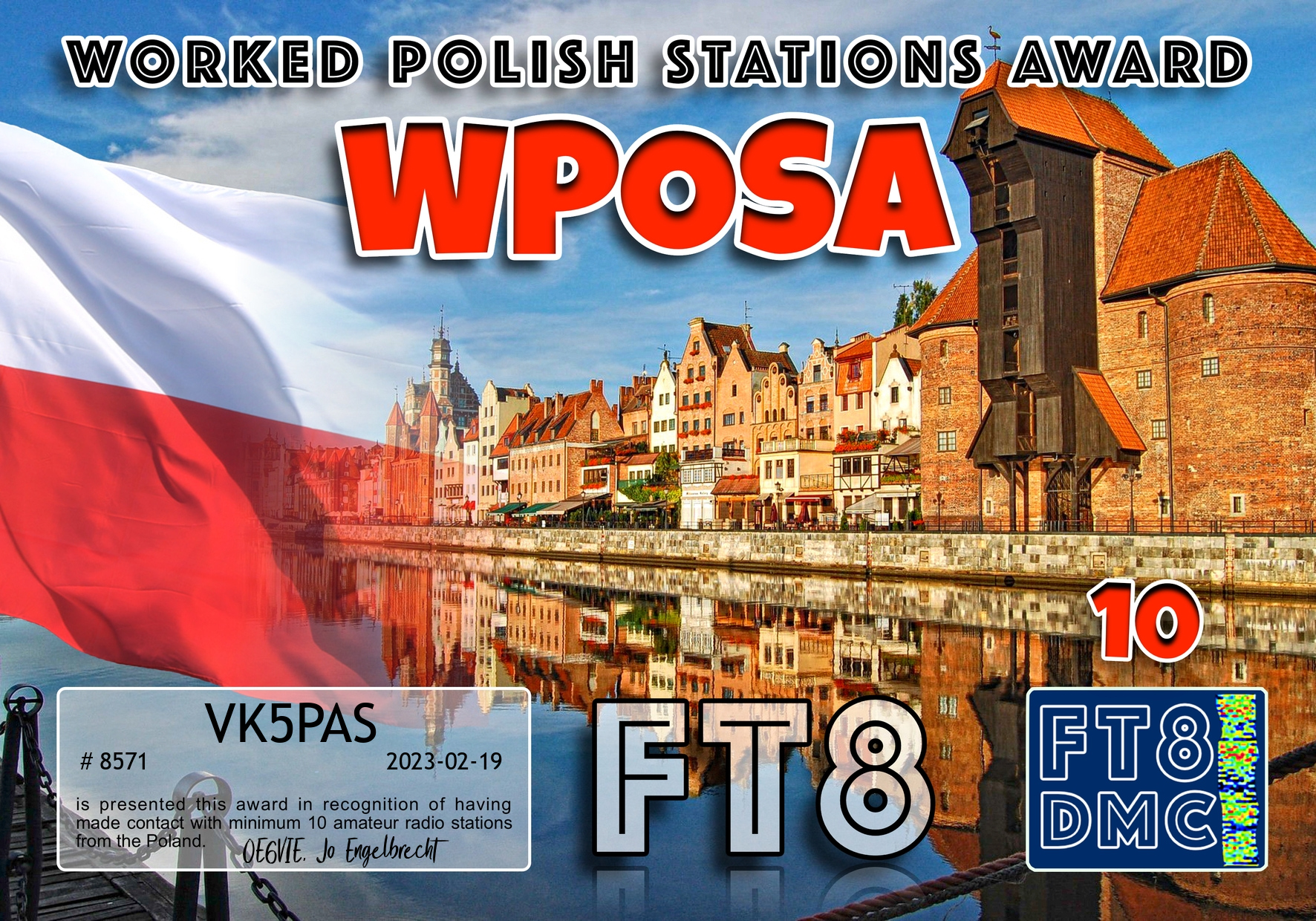
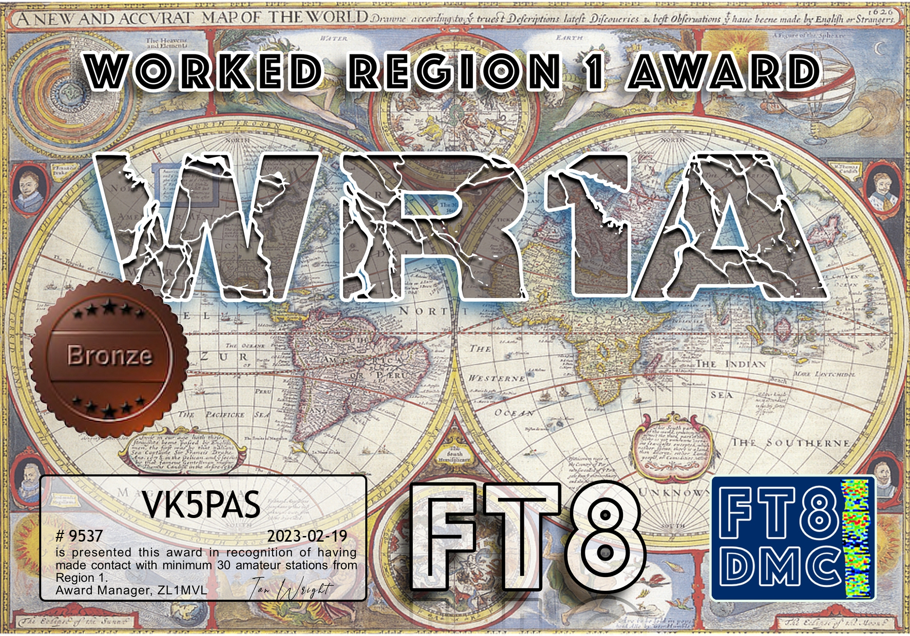
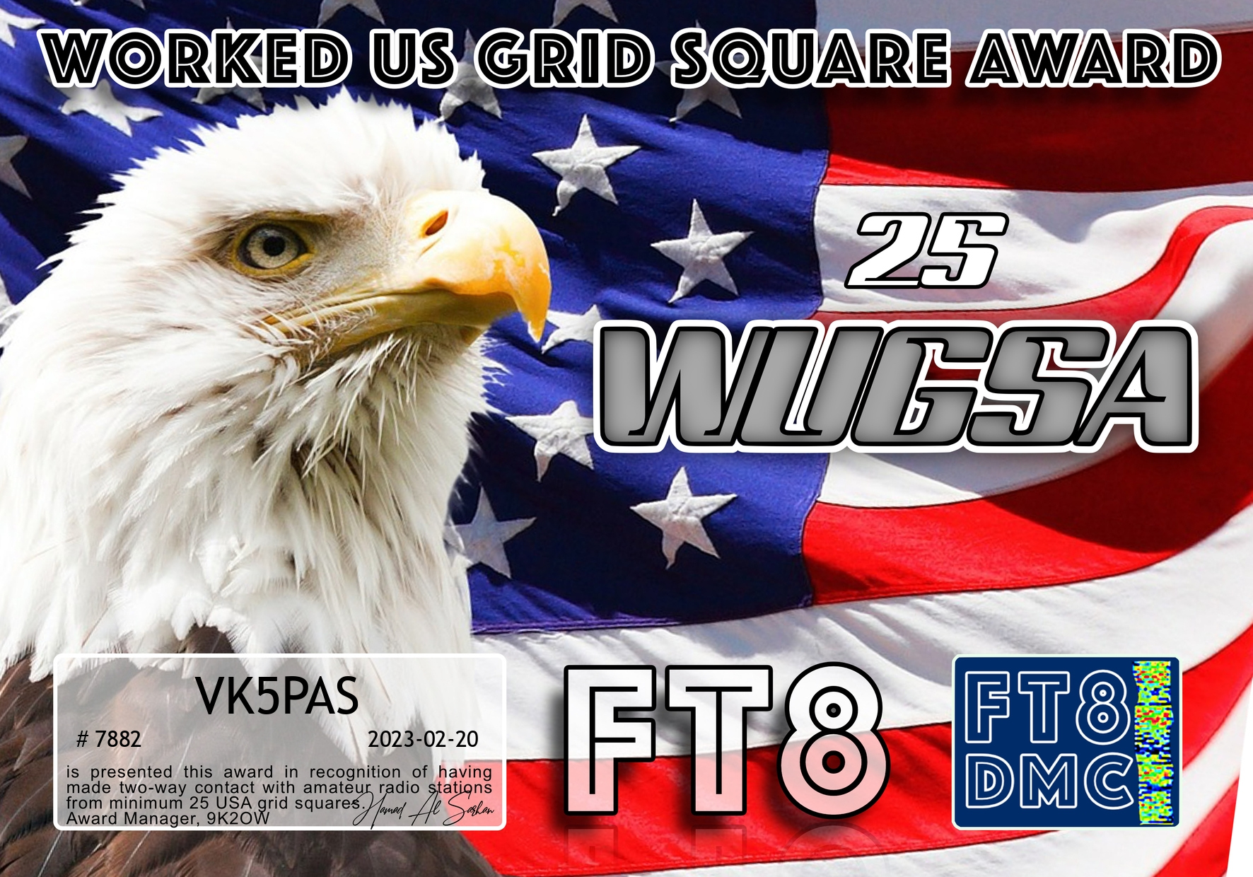
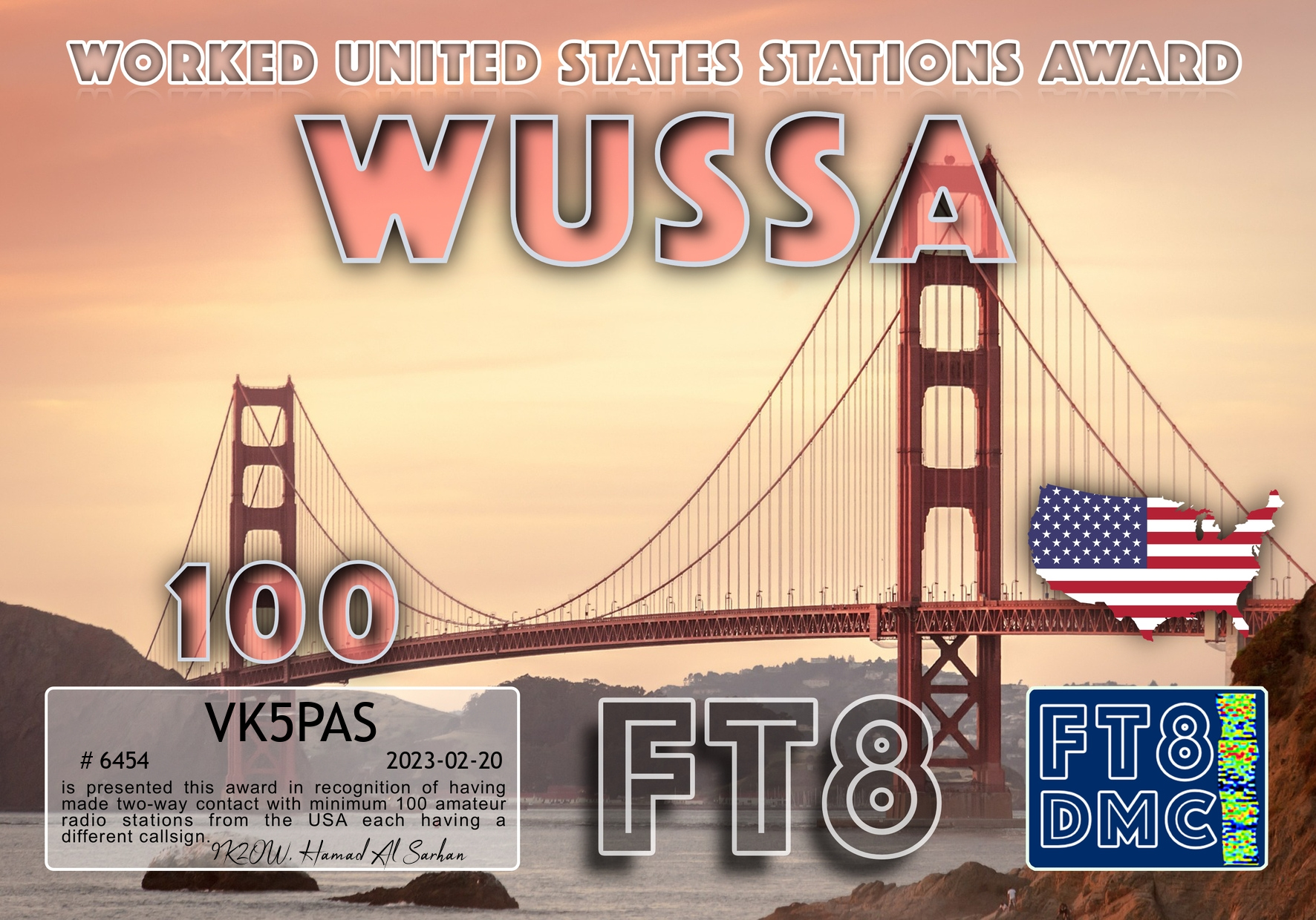
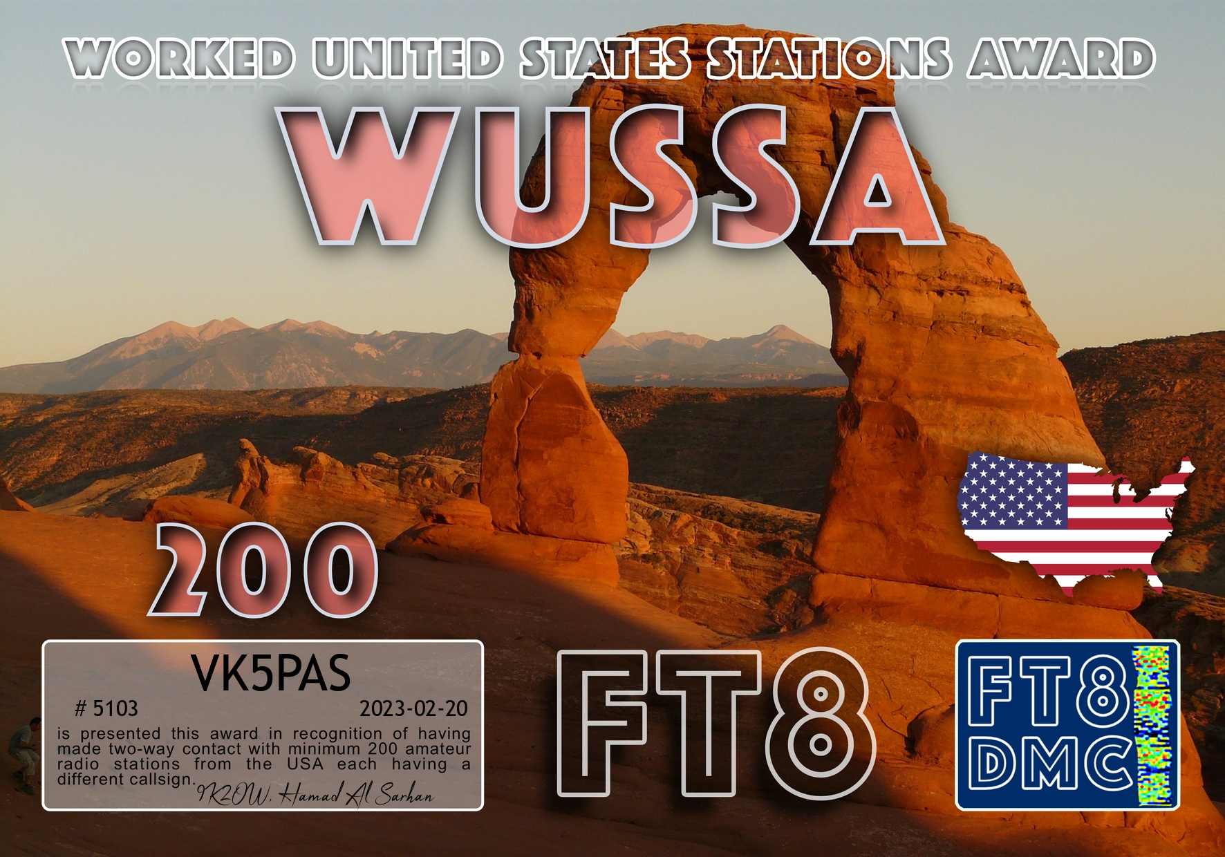
About 5 weeks ago I became set up for the digital mode FT8. Thanks to John VK5BJE for his assistance.
I joined the FT8 Digital Modes Club and I uploaded my log to Ultimate AAC, and I could not believe the number of award certificates that were sitting there waiting for me.
Thanks to Ian VK1DI and Keith VK2PKT for their guidance regarding UAAC.
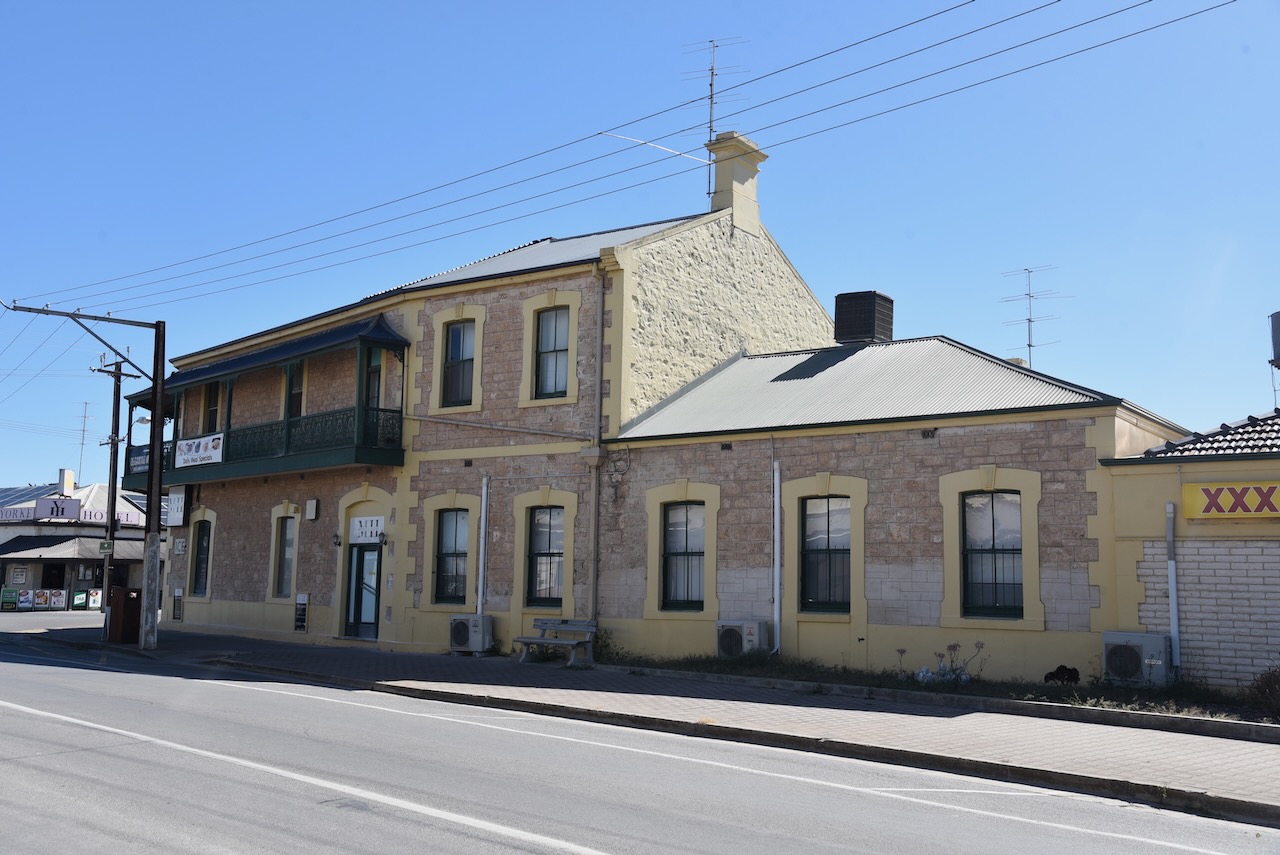
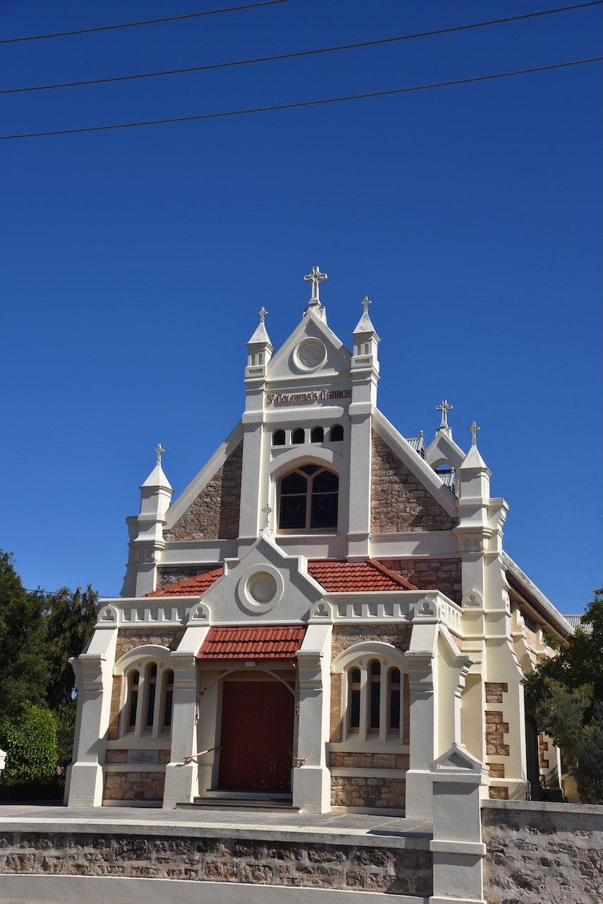
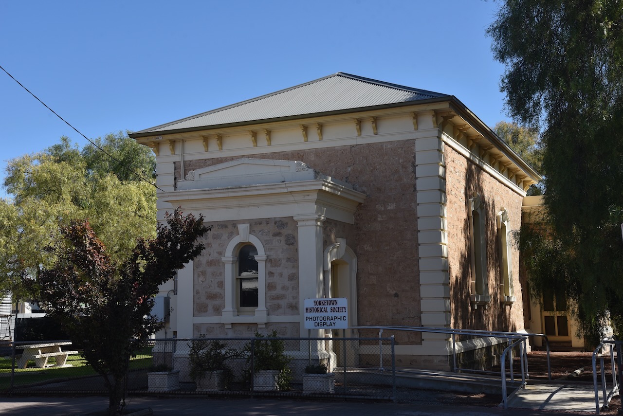
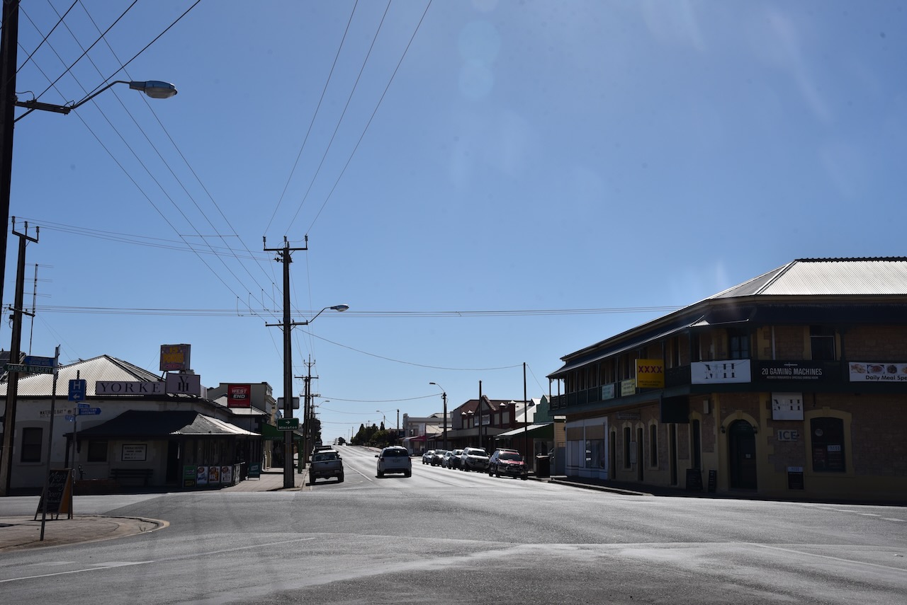
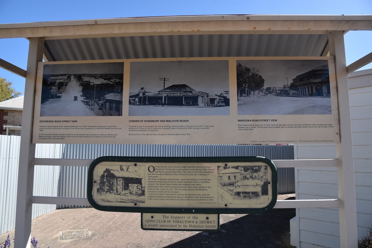
After leaving the Minlacowie Conservation Park (Monday 6th February 2023), we drove down to the town of Yorketown. We need to purchase some bottles of red wine for our trip to Troubridge Island.
Prior to European settlement, the aboriginal people called the area around Yorketown, karinja – kari meaning ‘emu’ and nja – ‘place’. The original plan of the town shows Yorke Town, but it was advertised as ‘The Town of Yorke’, taking its name from Yorke Peninsula.
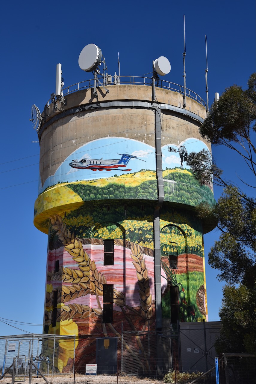
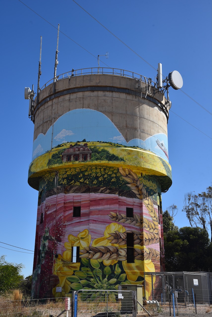
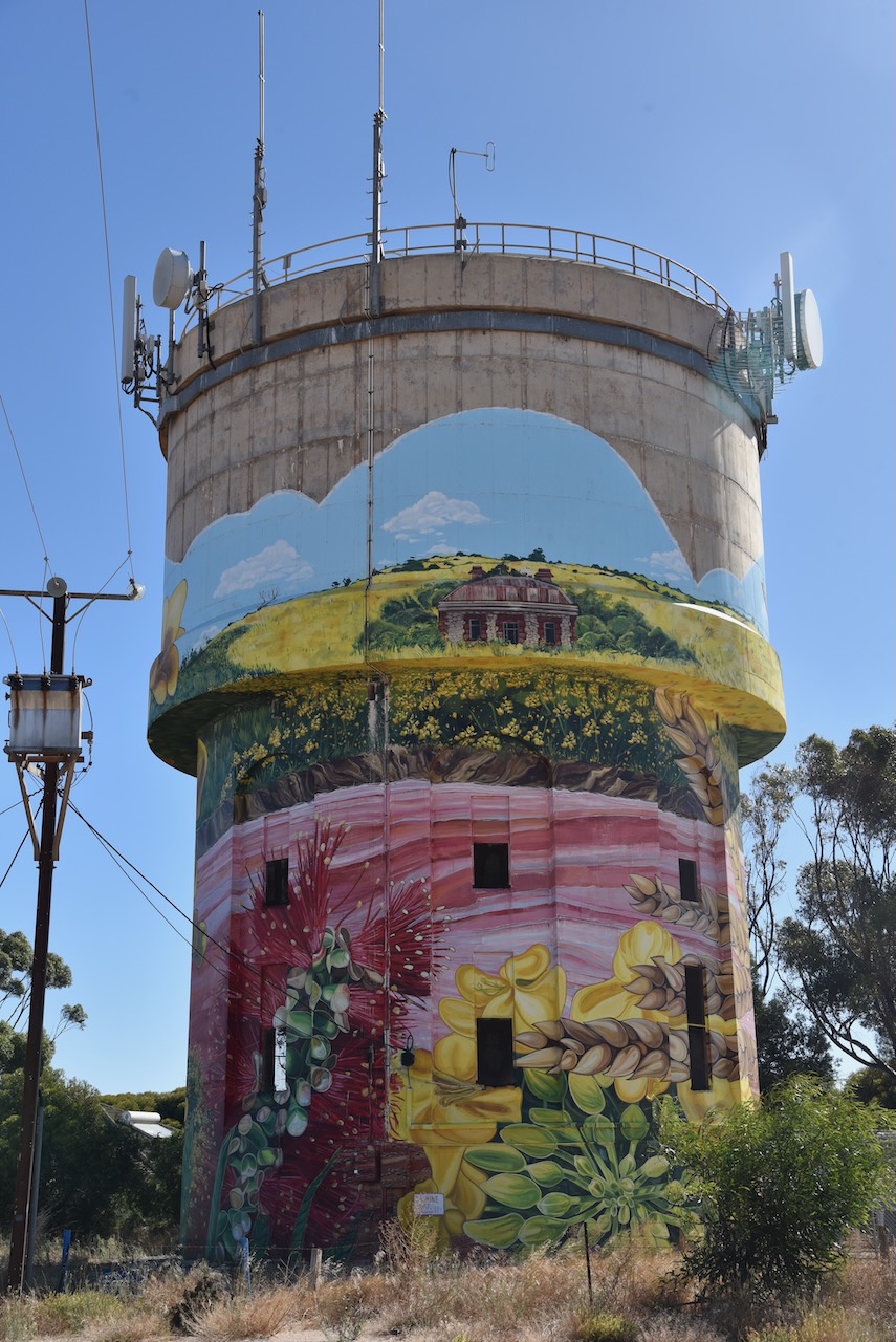
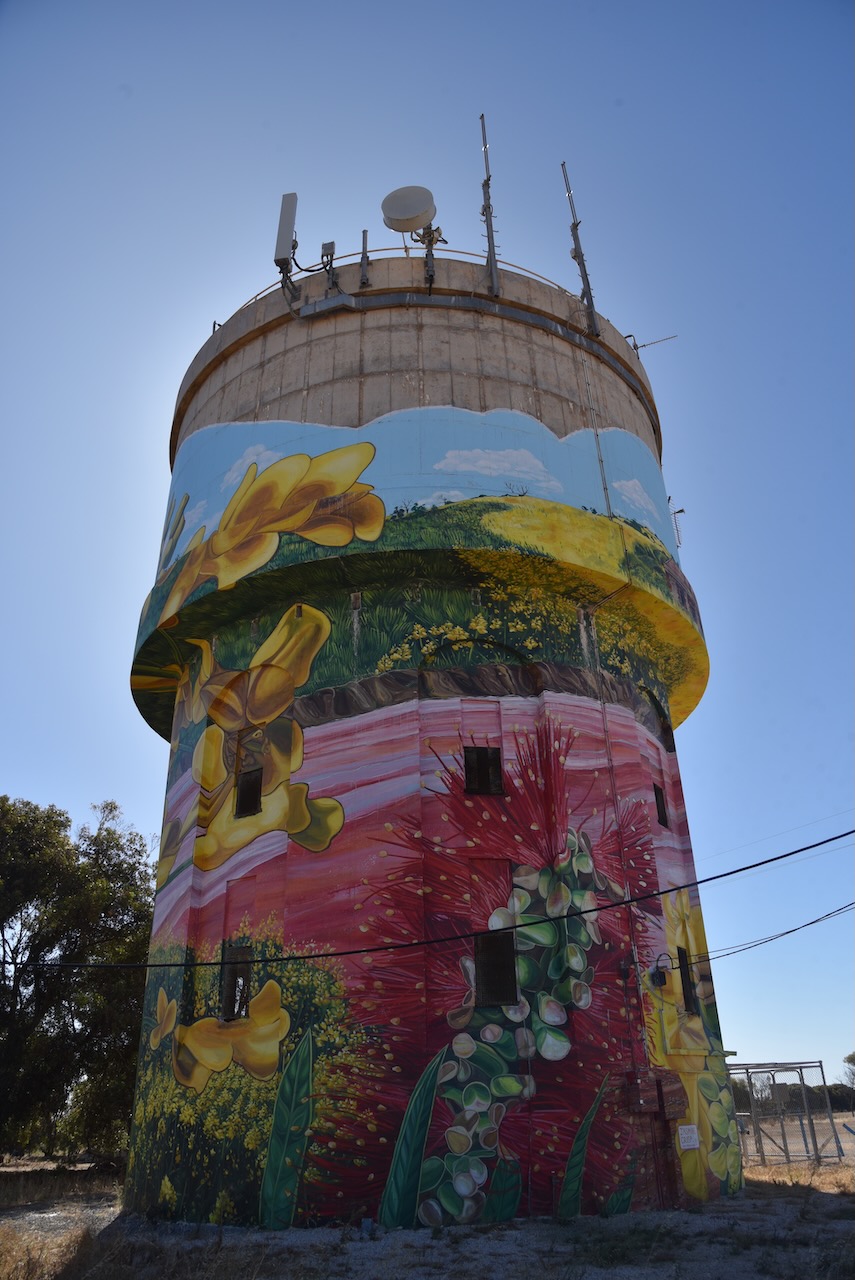
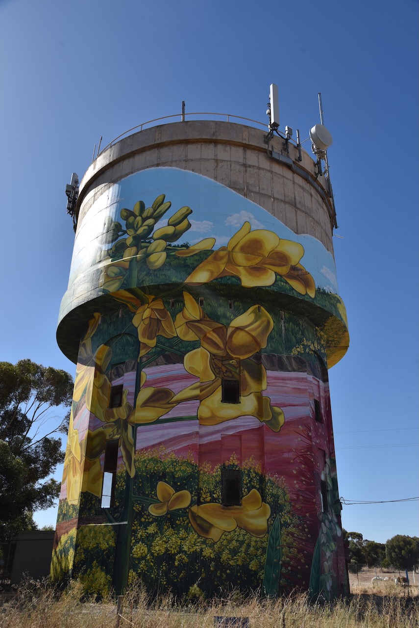
Whilst in Yorketown we visited the water tower mural which was painted by Jasmine Crisp in March 2021. The work took Crip a total of 37 days to complete. The mural includes the Royal Flying Doctor Service, canola crops, the pink lake and historic buildings.
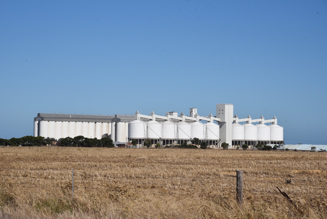
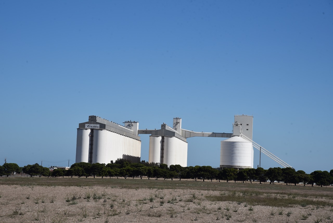
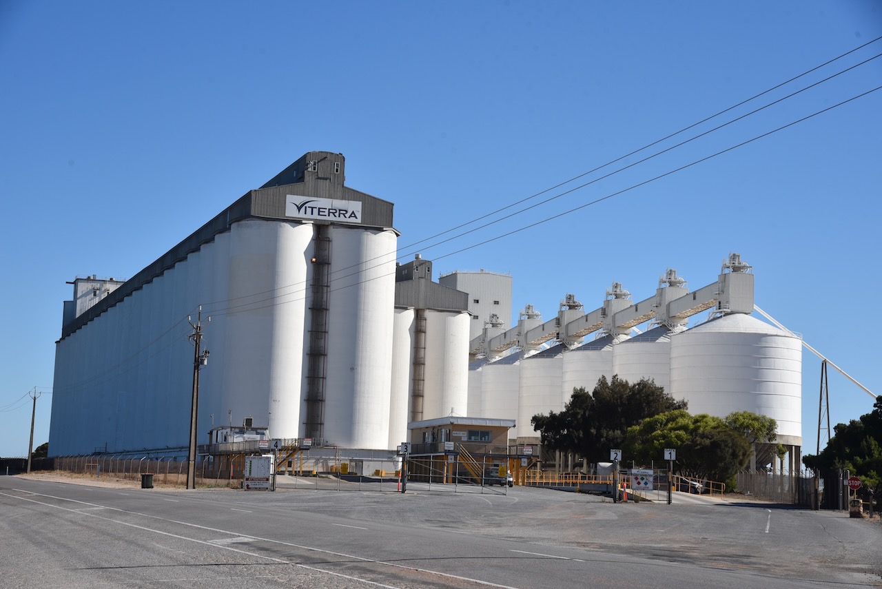
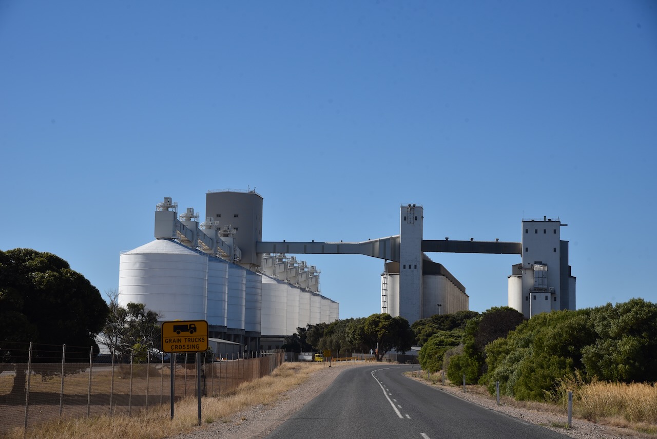
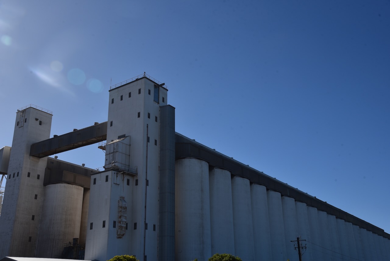
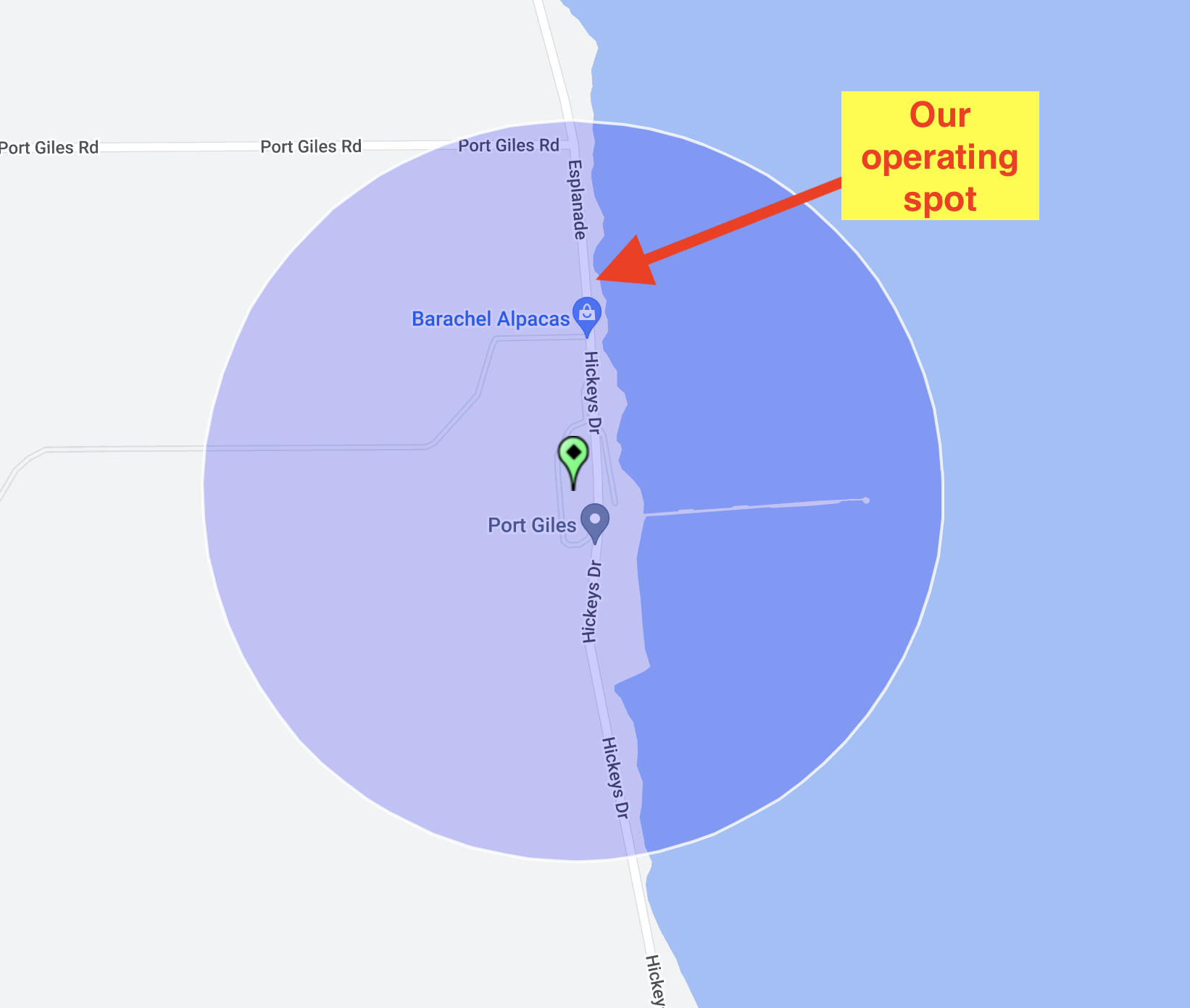
We then headed for Port Giles to activate the silo for the Silos On The Air (SiOTA) program.
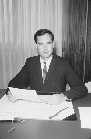
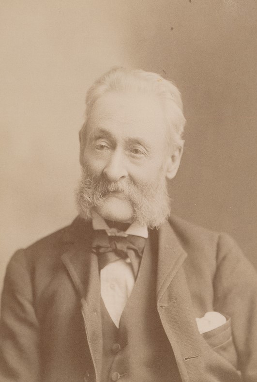
Port Giles was named after Thomas Giles (b. 1820. d. 1899), a partner with George Anstey in the Penton Vale sheep station. Giles was the third of 15 sons and 6 daughters of William Giles, the Colonial Manager of the South Australian Company.
Above:- Thomas Giles. Image c/o Wikipedia.
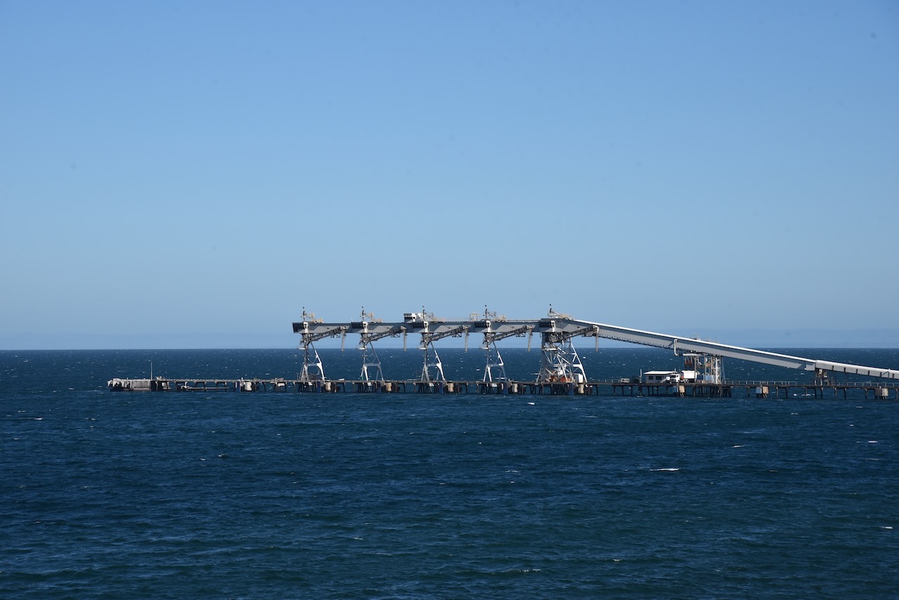
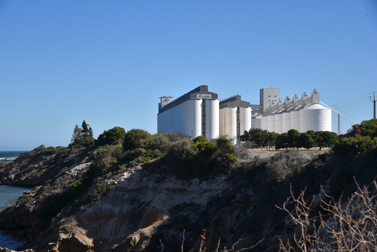
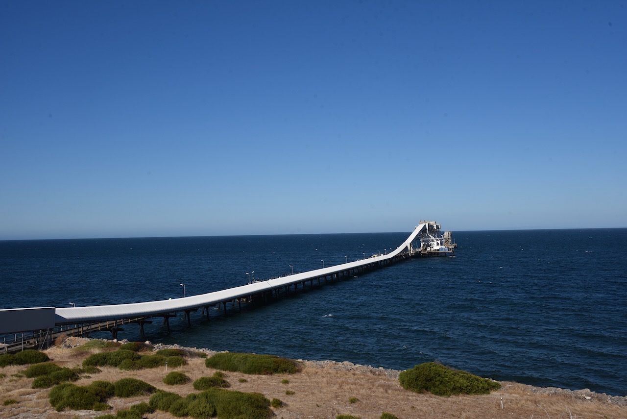
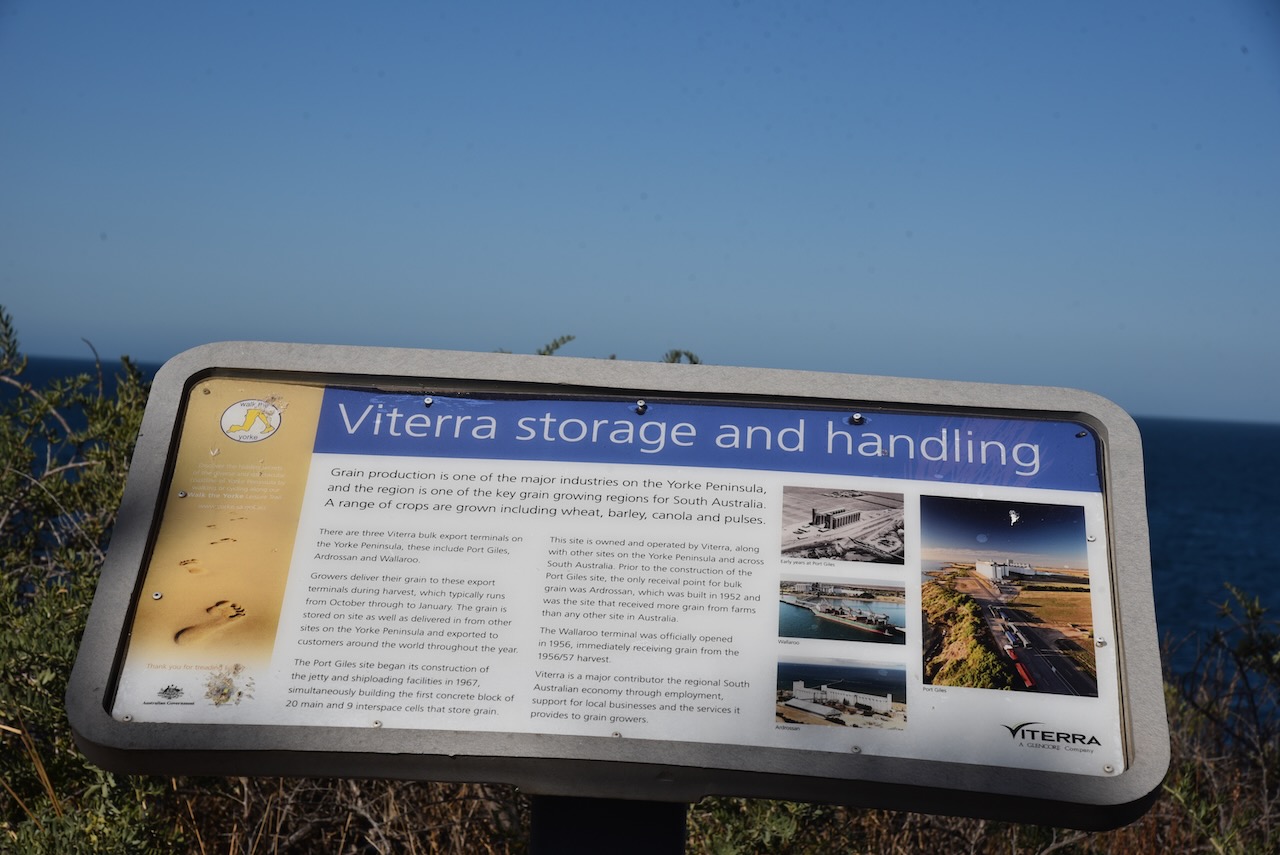
In 1967, construction of a deep sea jetty commenced at Port Giles and on the 23rd day of May 1970 was opened by the South Australian Premier, Hon. Steele Hall. The opening of the jetty and the large grains storage facility led to the closure of many of the smaller ports on the Yorke Peninsula.
Above:- Former SA Premier Steele Hall. Image c/o Wikipedia.
Port Giles was specifically constructed to be able to handle bulk grain and load it onto larger modern ships. Port Giles can handle Panamax-size ships or larger. Panamax is a term for the size limit of ships travelling through the Panama Canal. Many of the other Yorke Peninsula ports were not deep enough for larger ships, and they could only be serviced by small sketches and coastal steamships and could only handle grain in bags and not in bulk.
We operated from the 4WD on Hickey Drive, a short distance from the silos. We ran the Icom IC-7000, 100 watts, and the Codan antenna for this activation.
Marija worked the following stations on 40m SSB:-
VK1CHW/p (Black Mountain Nature Reserve VKFF-0834 & SOTA VK1/ AC-042)
VK5MOS
VK3PF
VK5FANA
VK5BJE
I worked the following stations on 40m SSB:-
VK1CHW/p (Black Mountain Nature Reserve VKFF-0834 & SOTA VK1/ AC-042)
VK5MOS
VK3PF
VK5FANA
VK5BJE
VK5HS
VK5FR
VK2YK
VK5GA
VK5LA
VK3LVH
VK2RO
VK5CZ
VK2NP
VK5GY
VK3GJG
VK5TN
VK3SMW
VK2IO
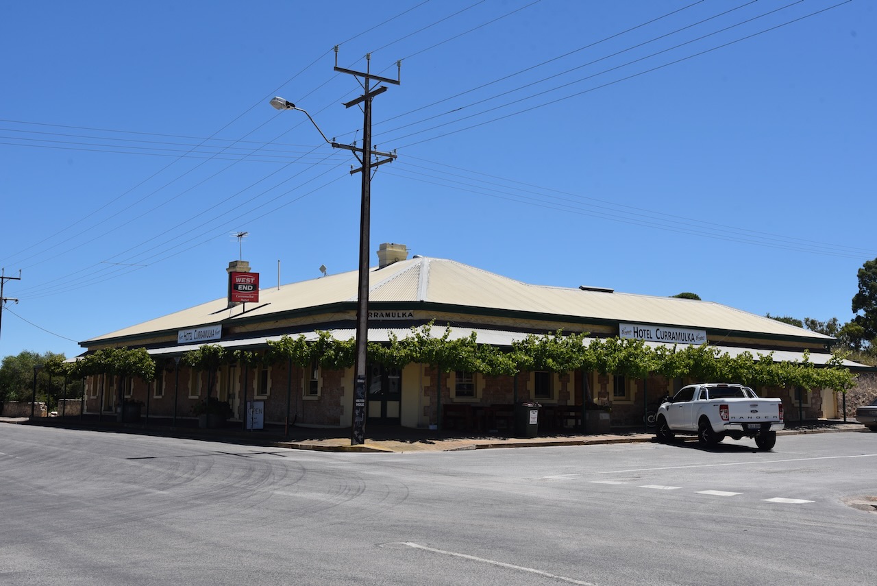
It was time for us to head back to Stansbury, where that night we met up with Ivan VK5HS, Andy VK5LA, Adam VK2YK, and Chris VK5TR, our other team members of VK5TIL and the Troubridge Island trip. We had a great night out and a meal at the Stansbury Hotel.
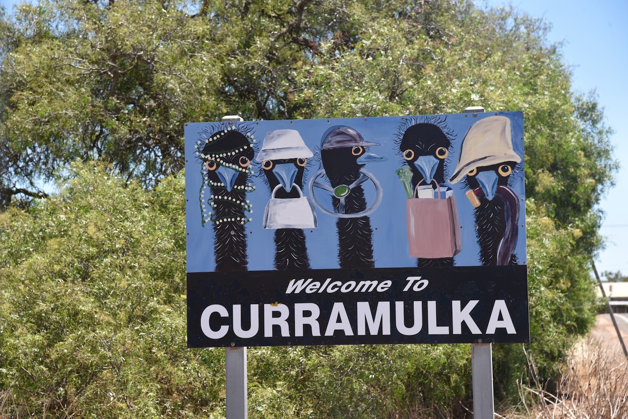
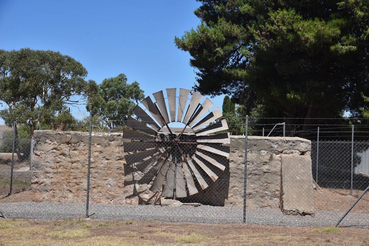
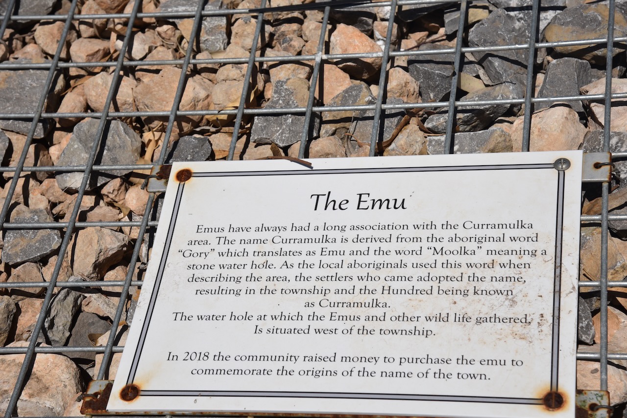
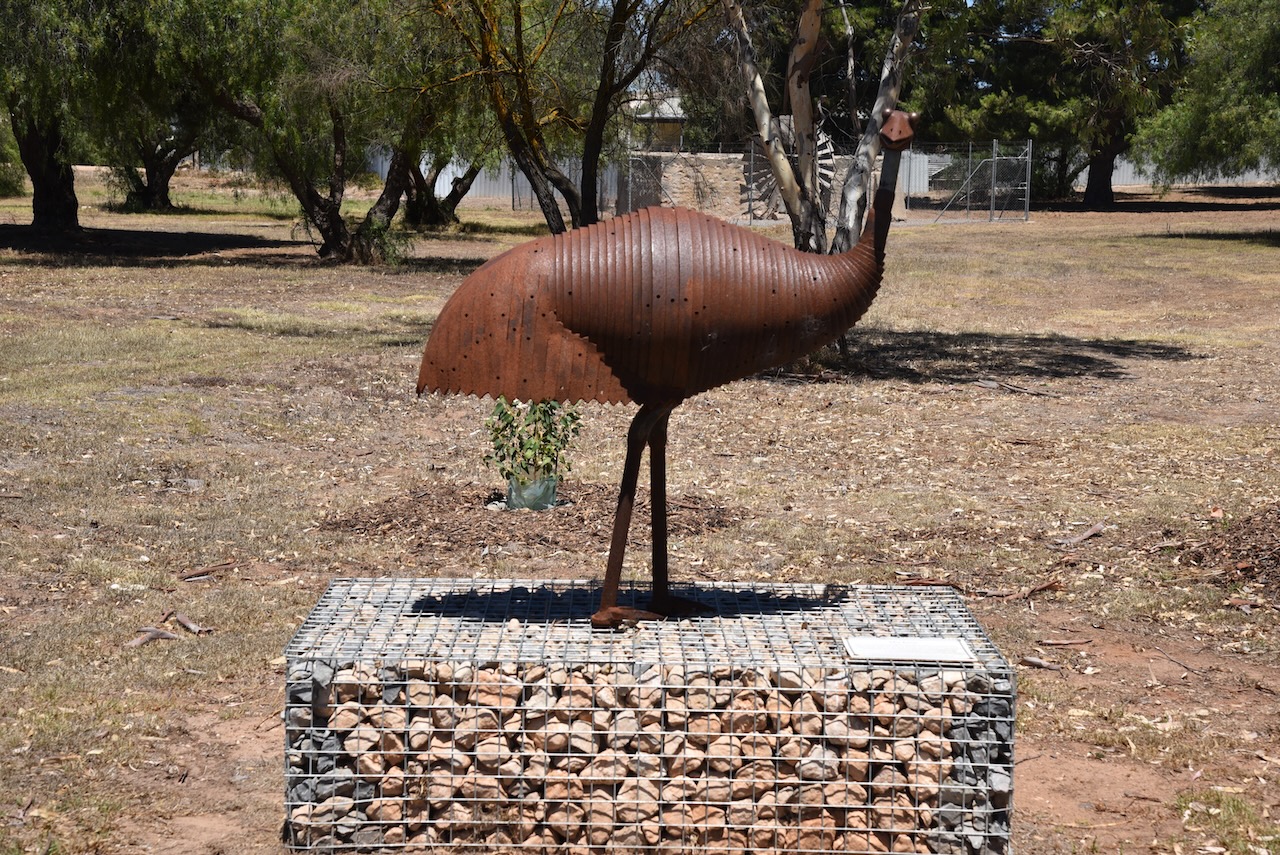
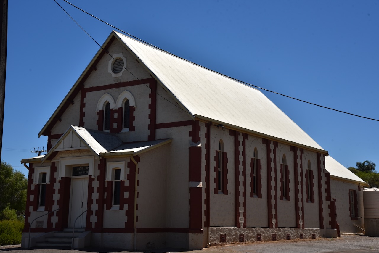
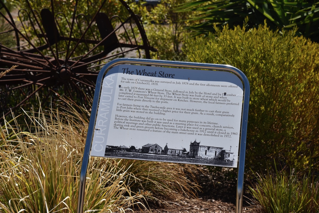
We left the Ramsay Way Conservation Park and drove north to the little town of Curramulka, one of the oldest towns on the Yorke Peninsula. The name Curramulkaka is derived from the Aboriginal word ‘curre’ meaning emu and ‘mulka’ meaning deep water. Emus drank in the area and this resulted in the name.
Close to Curramulka is an extensive chain of limestone caves that were first explored in 1850. A significant number of major extensions were discovered in 1984.
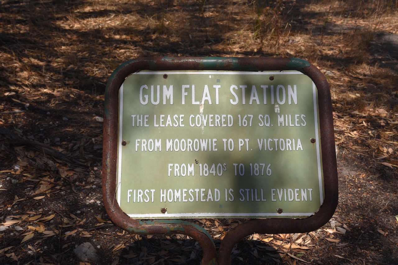
We then drove south on the Yorke Highway and into the town of Minlaton. The name is derived from the first syllable of Minlacowie and the Middle English word ton, meaning ‘town’. Land in the Minlaton area was first taken up by Thomas Giles in 1847 at ‘Gum Flat’, sometimes referred to as ‘Mount Rat’.
On the 3rd day of December 1874, J.W. Jones, surveyor, reported to the Surveyor-General:
‘Knowing the ground to be high enough and the almost certainty of finding fresh water on every allotment, I think the site suggested by Mr Cadet Surveyor Elder is as good, if not the best that could be found…’
The site was approved, and was surveyed by Giles Edward Strangways (b. 1819. d. 1906), and was proclaimed on the 15th day of June 1876.
Above:- Giles E. Strangways. Image c/o Wikipedia.
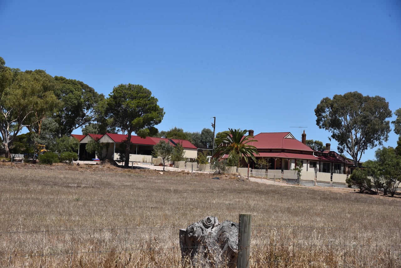
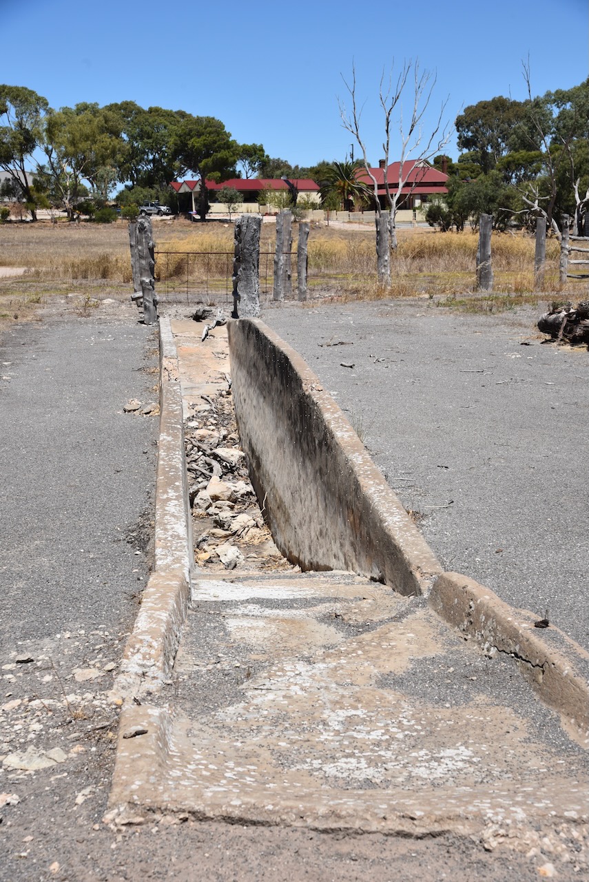
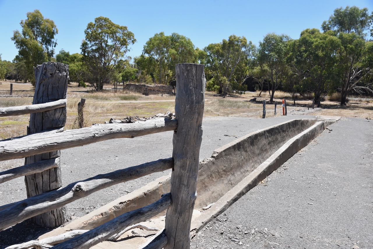
The old Gum Flat Station and a historic horse dip can be found on the outskirts of Minlaton.
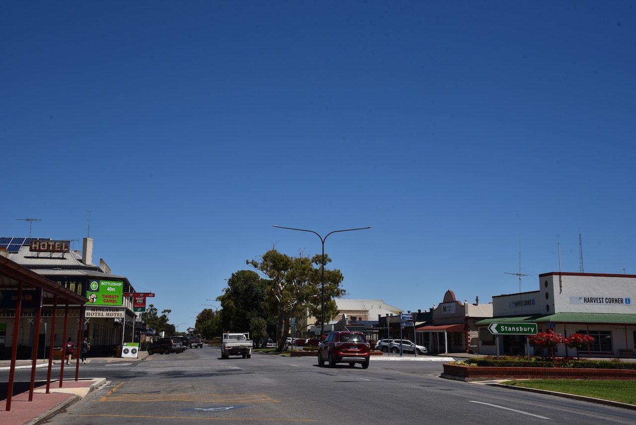
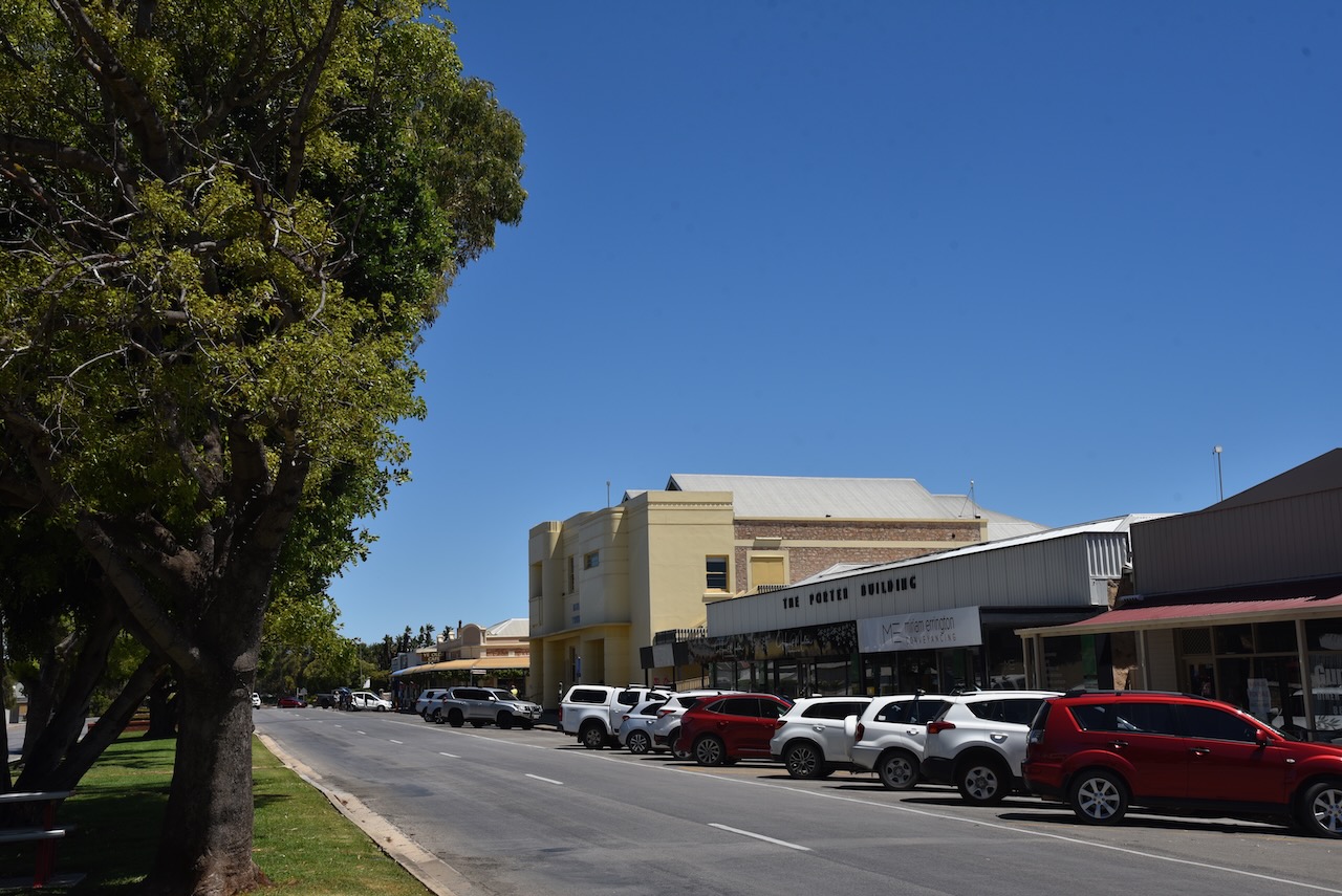
We stopped to get something to eat and a cup of coffee at Minlaton.
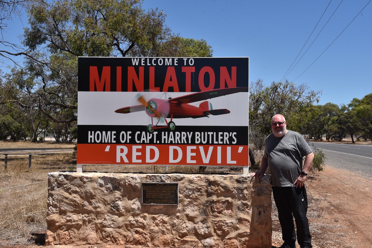
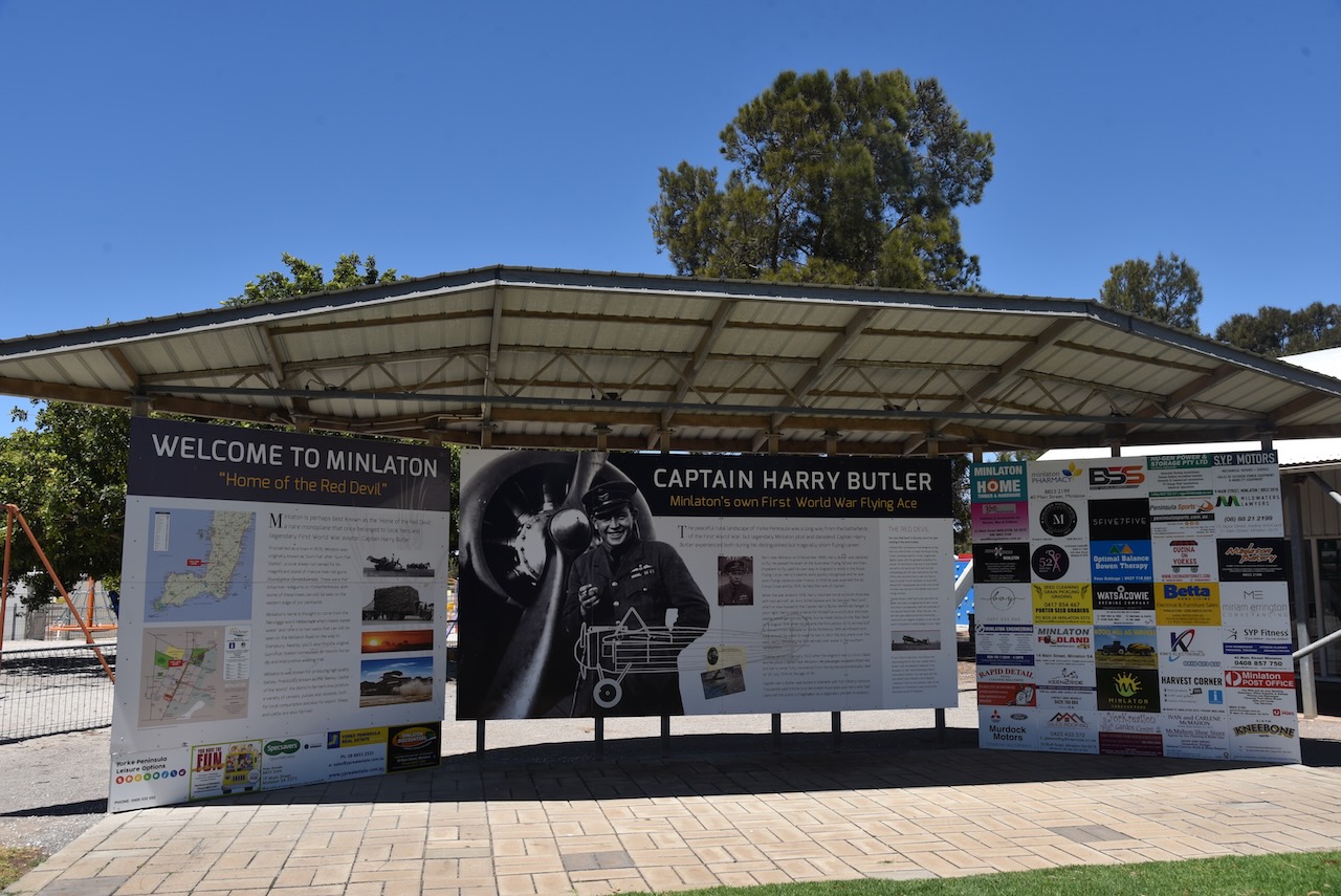
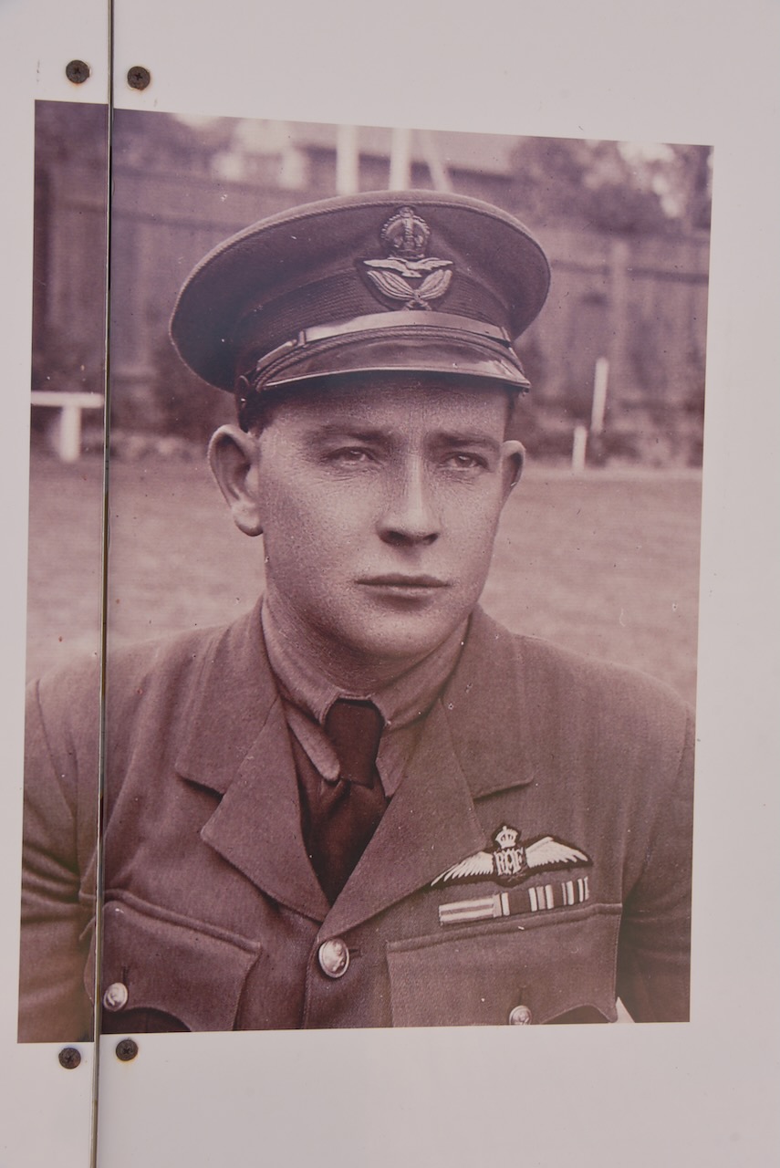
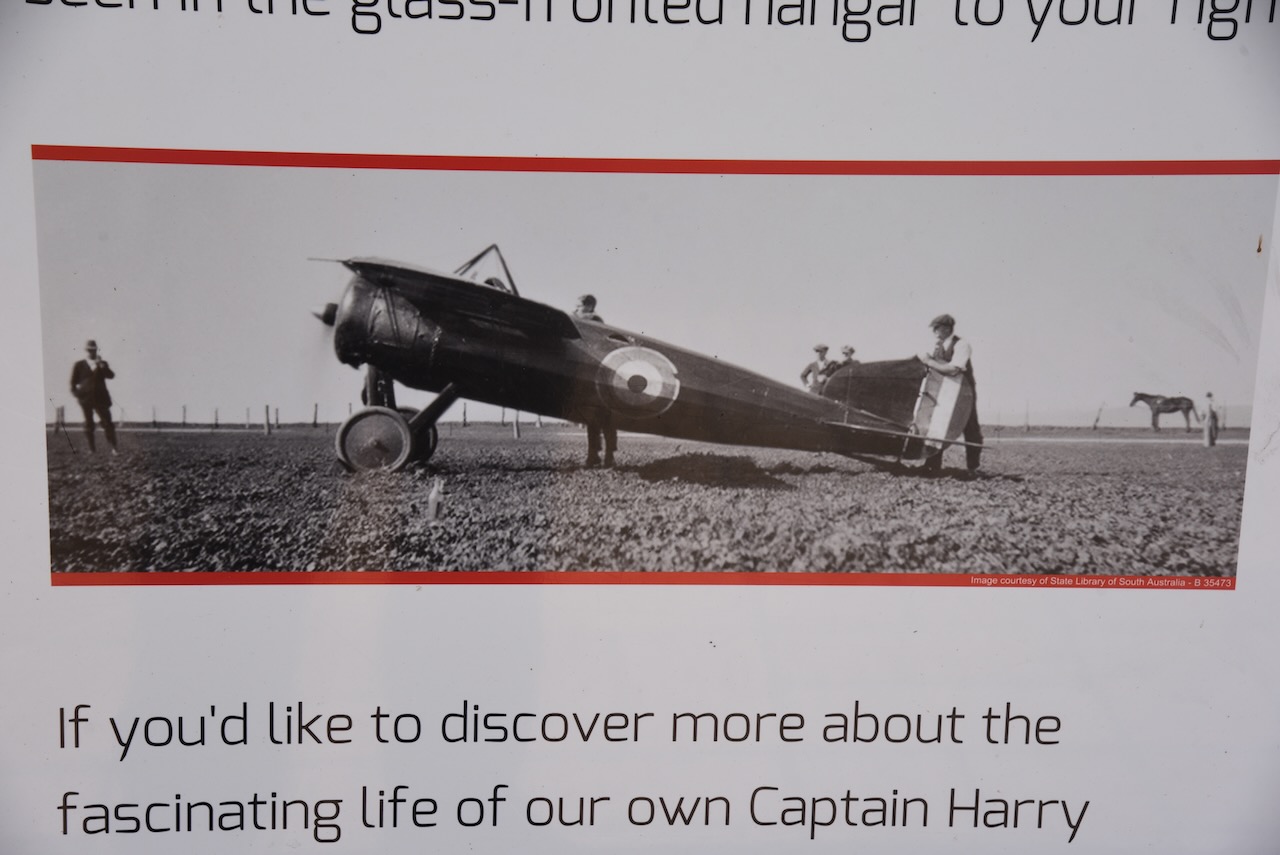
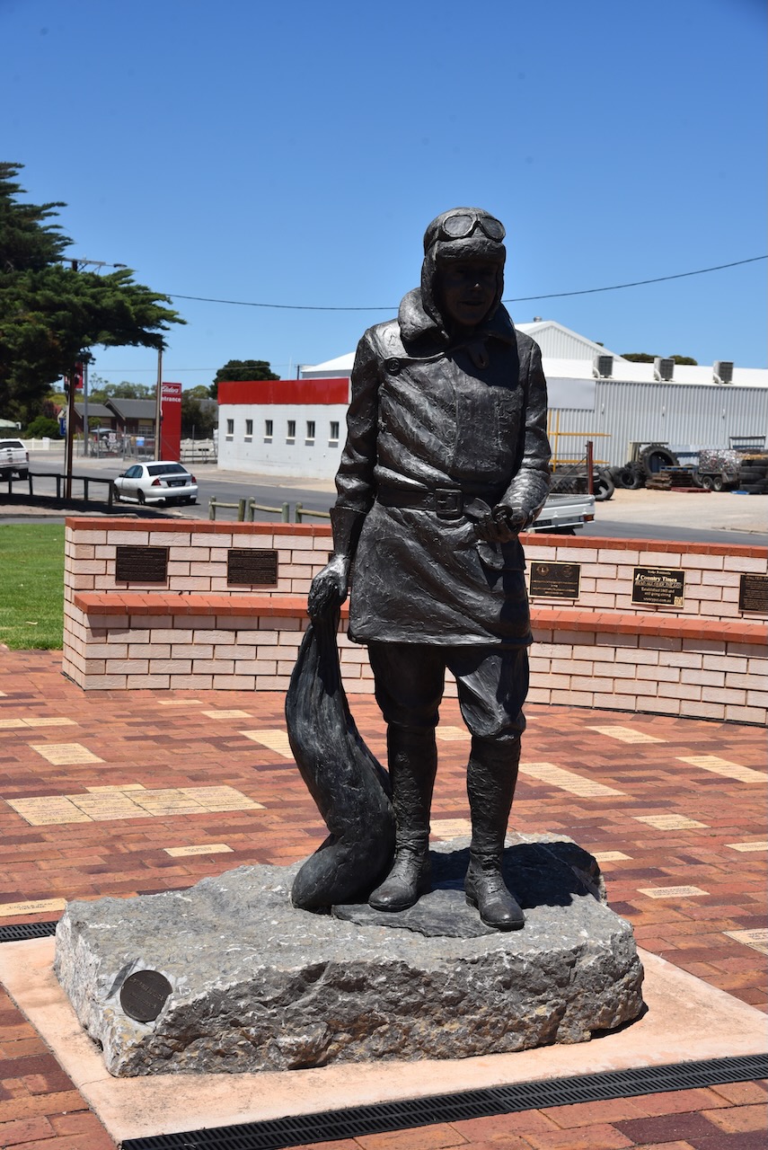
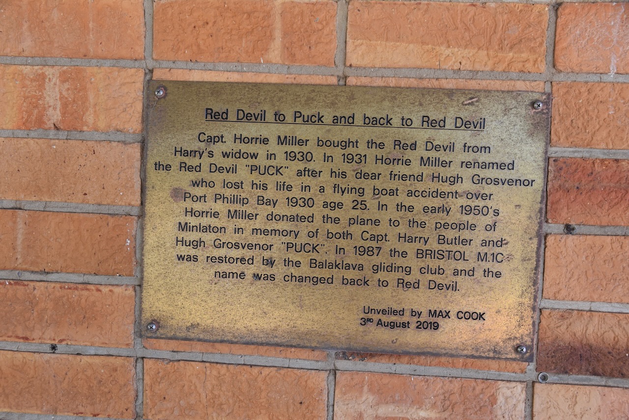
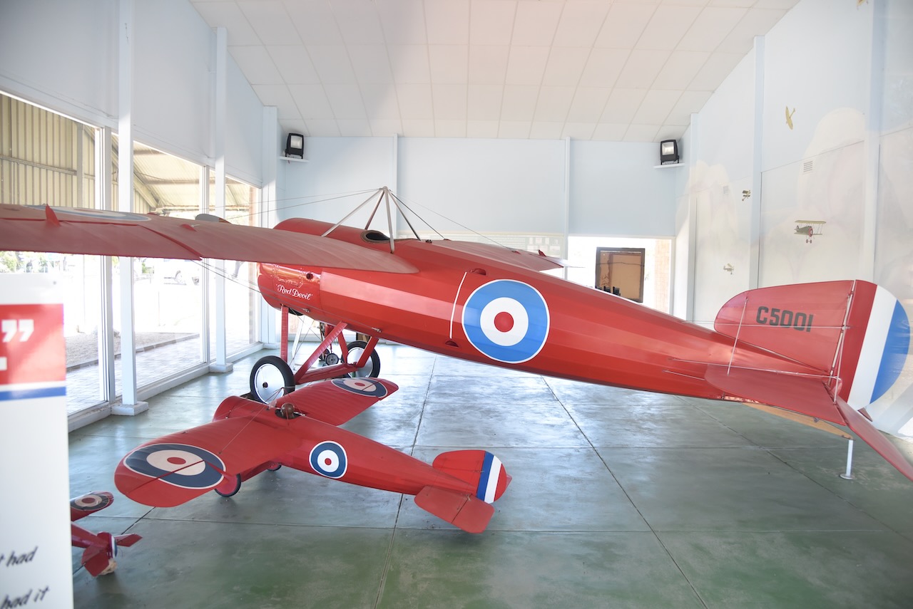
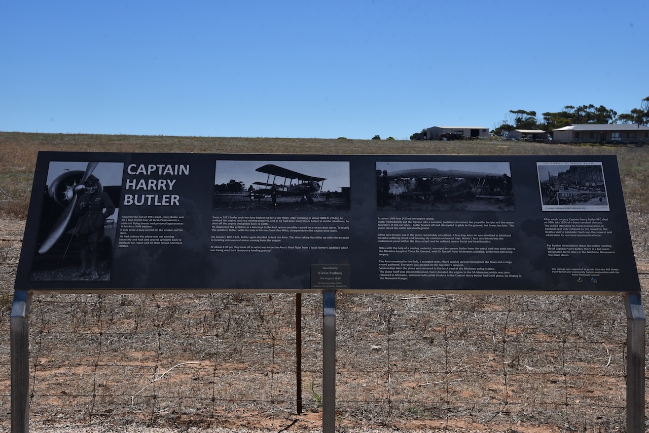
Minlaton is famous for Captain Harry Butler and his ‘Red Devil’ aircraft.
Henry John ‘Harry’ Butler (b. 1889. d. 1924) was a pioneer Australian aviator, and Captain and Chief Fight Instructor in the Royal Flying Corps during World War I. On the 6th day of August 1919, he flew an air mail run from Adelaide across Gulf St Vincent to Minlaton. This was the first over-water flight in the Southern Hemisphere carrying air mail and the first flight over a major body of water in the southern hemisphere.
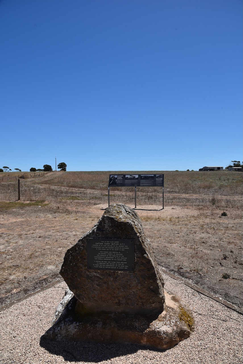
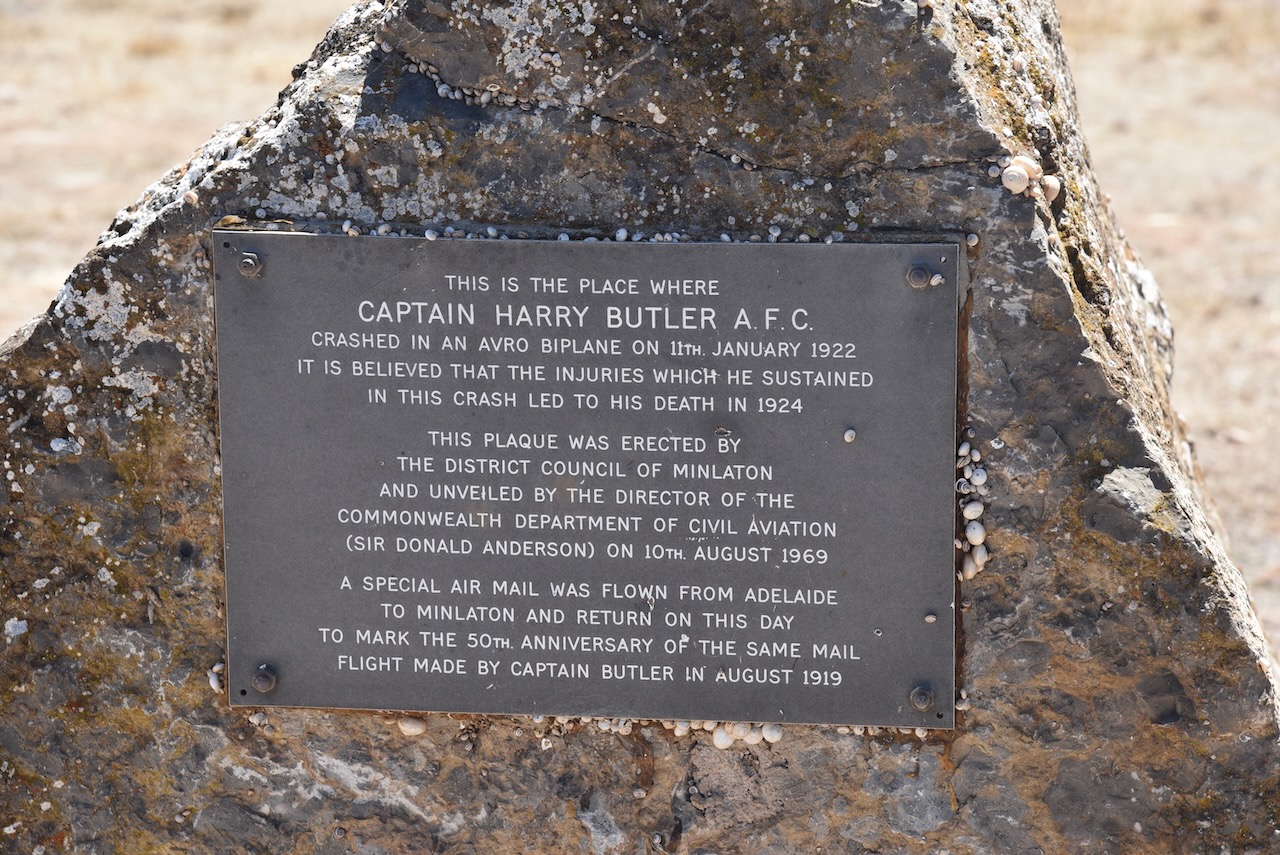
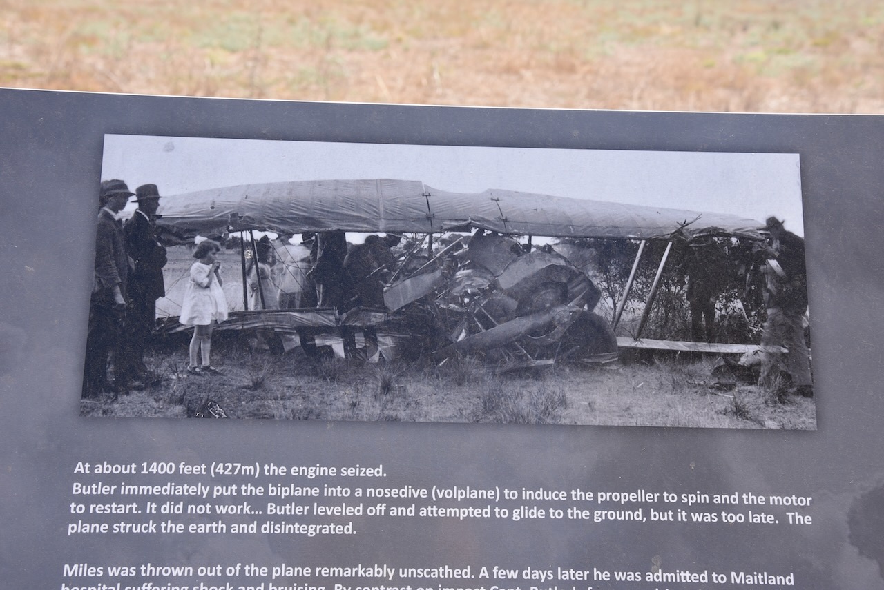
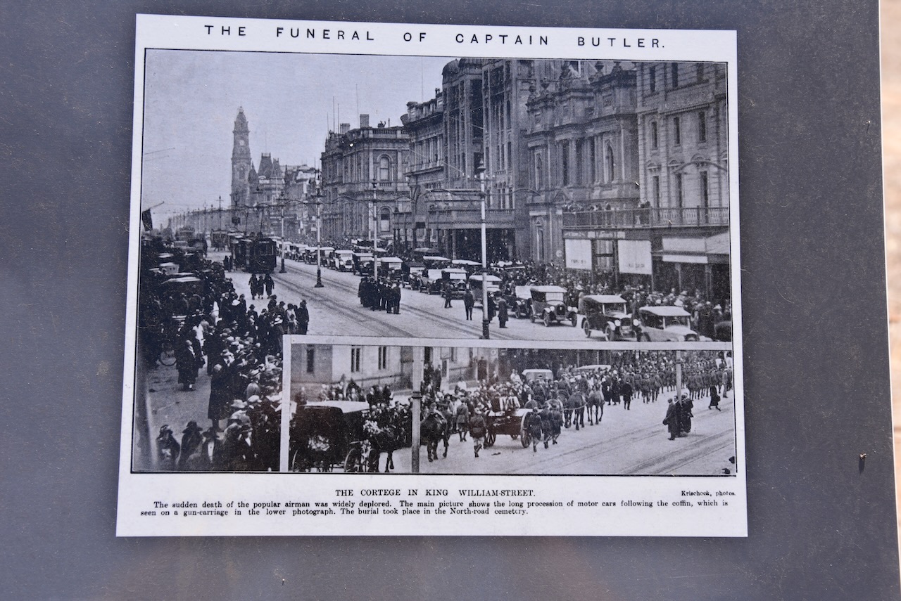
On the 11th day of January 1922, Harry Butler was seriously injured following the crash of his Avro biplane near Minlaton. Sadly, Butler died on the 30th day of July 1924 of an unexpected cerebral abscess which was believed to be related to the 1922 crash. On the outskirts of Minlaton, there is a memorial at the crash site.
We left Minlaton and drove to our final park activation, the Minlacowie Conservation Park VKFF-0909. The park is about 20 km (by road) to the west of the town of Stansbury.
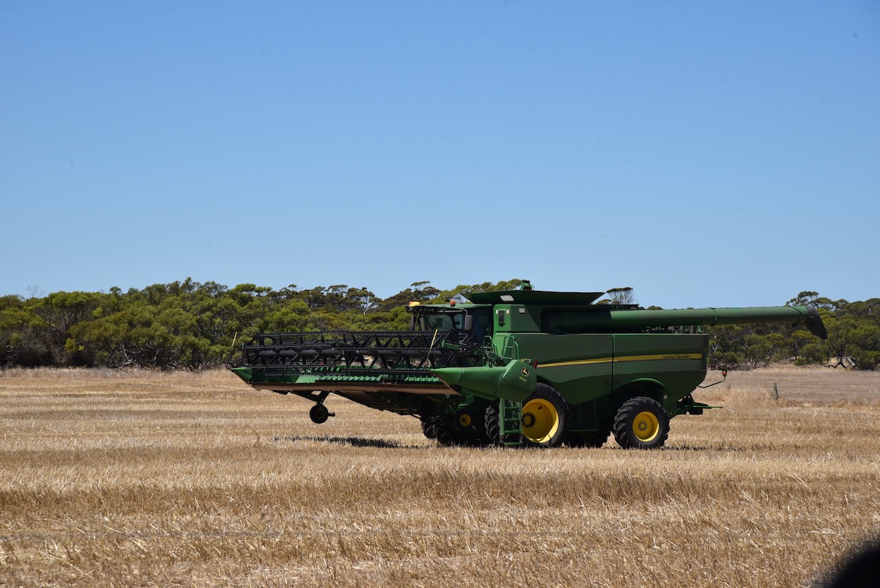
We took Cutline Road off Harry Butler Road and headed towards the park. This is wheat growing country and there were a number of farmers active in their paddocks.
Minlacowie is aboriginal for ‘two waters’. It is derived from either minala meaning ‘two’ and kawi meaning ‘water’ or minla-kawi meaning ‘freshwater well’.
On the 26th day of March 1874 the Hundred of Minlacowie, County of Fergusson, was proclaimed. On the 23rd day of November 1874, E.J. Elder, whilst surveying the area, reported to the Surveyor-General that he had selected ‘the best site and the nearest to good fresh water for the proposed new town of Gum Flat.’
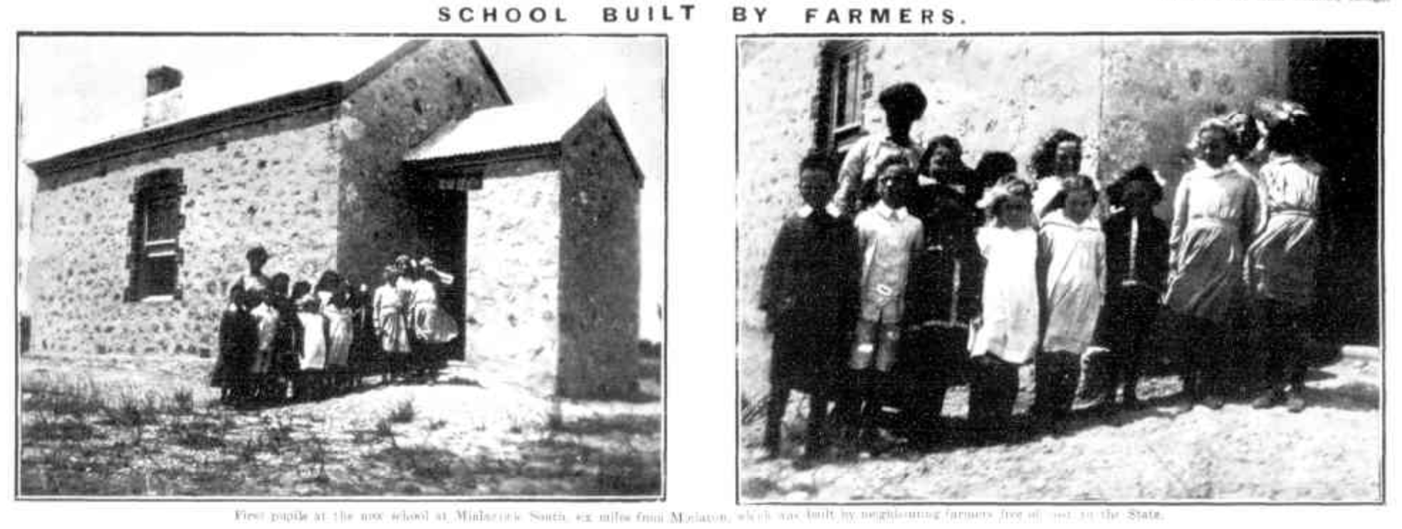
In 1875 the Minlacowie Post office opened. The Minlacowie School opened in 1877 and in 1922 it was renamed ‘Rocky Beach’. The Minlacowie South School was built by local farmers and was opened in 1901 and closed in 1941.
Above:- Article from the Observer, Sat 15 Feb 1913. Article c/o Trove.
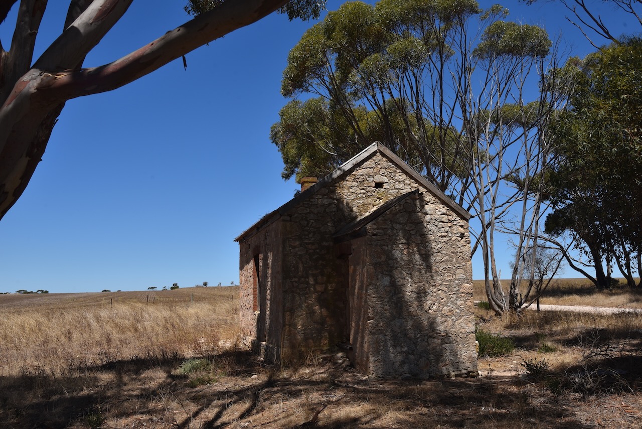
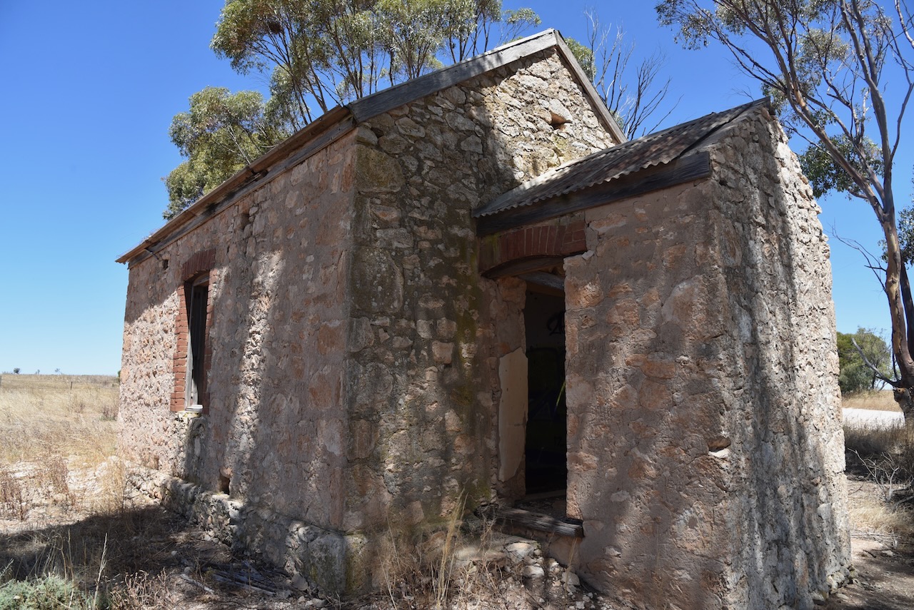
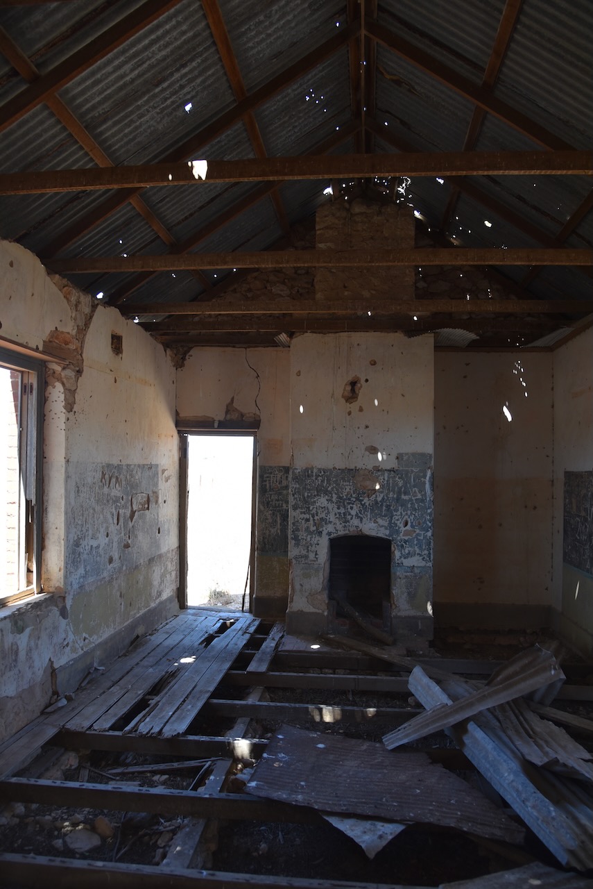
The ruins of the Minlacowie South School can be found at the crossroads of Harry Butler Road, Jacka Road, Rogers Road, and Bublacowie Road is the old Minlacowie school. Sadly it is neglected and in a state of disrepair.
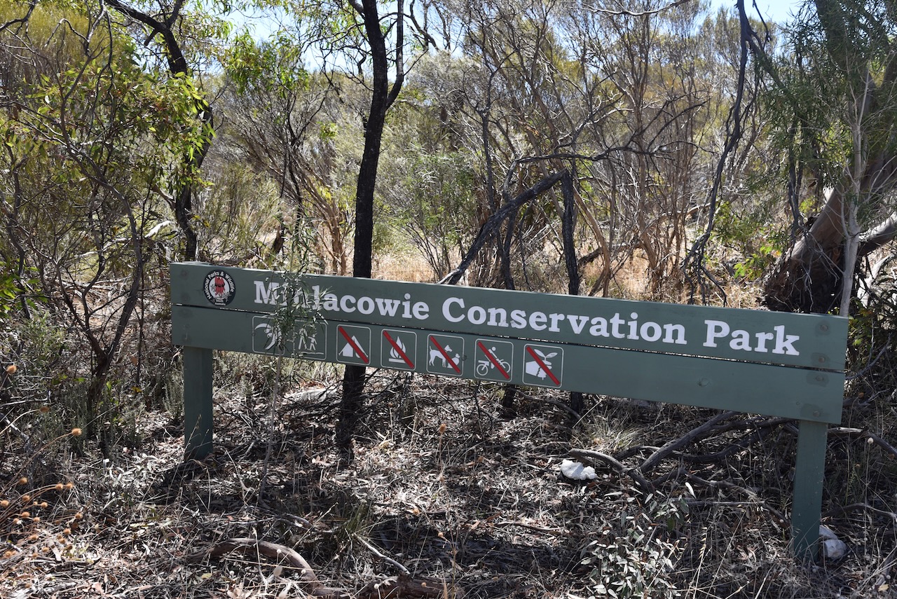
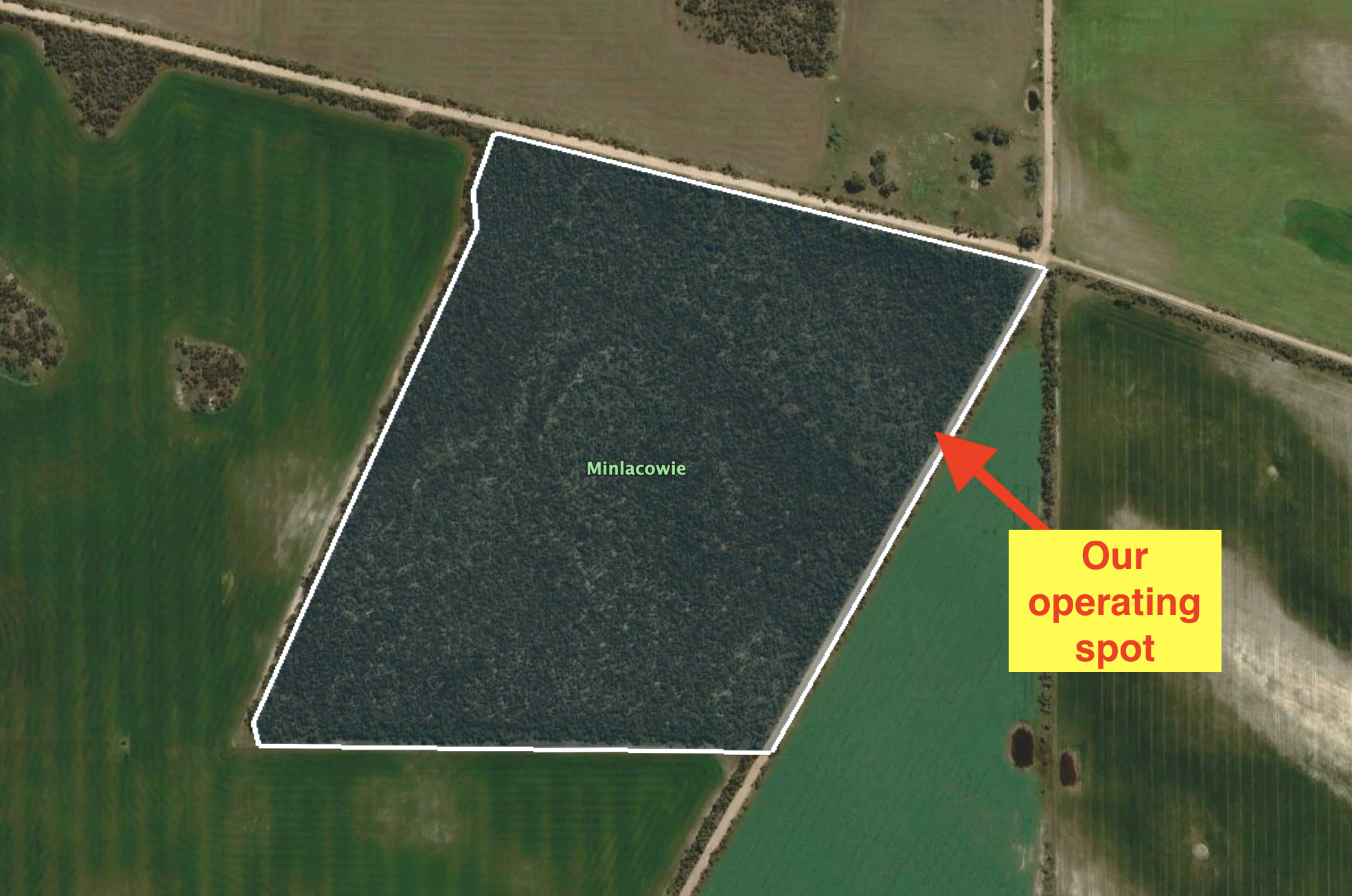
The Minlacowie Conservation Park is about 28 hectares in size and is located on the southwestern corner of Rogers Road and Savage Hut Road. It was gazetted on the 14 the day of February 2008.
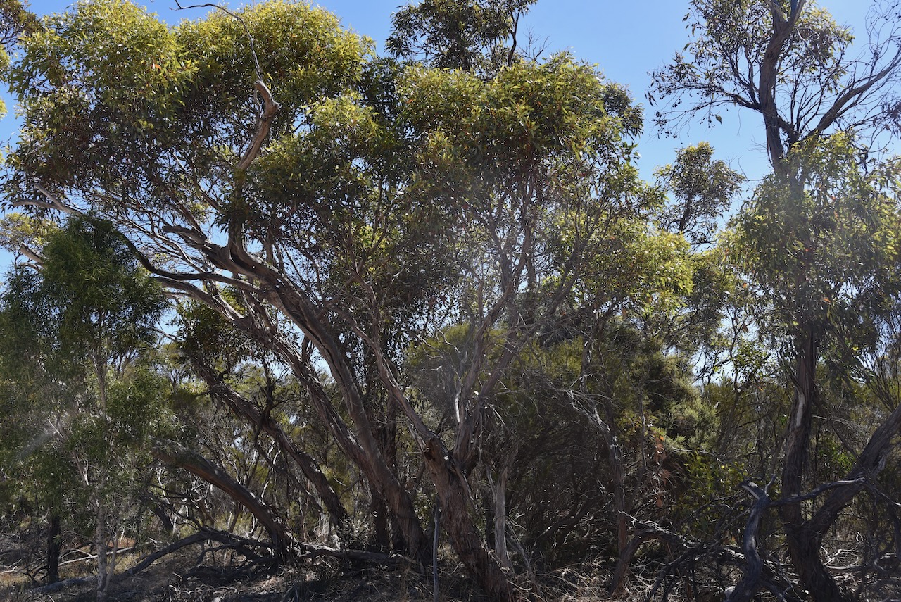
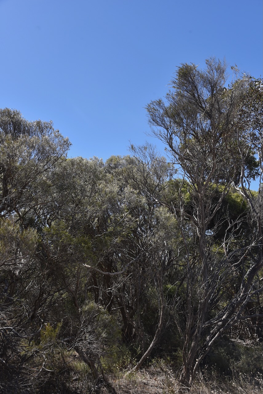
The park consists of a small piece of remnant mallee/broombush vegetation and conserves a number of significant plant species including the nationally and state-vulnerable Winter Spider orchid.
There are no walking trails and no 4WD tracks in this park. The scrub is also very thick. So we had no option but to pull into a small clearing in the scrub on Savage Hut Road and operate from the 4WD. We ran the Icom IC-7000, 100 watts, and the Codan antenna mounted on the rear of the 4WD
Above:- An aerial view of the park showing our operating spot.