After leaving the Wunkar silo (31st January 2023), I drove south along Curtis Road and then west on Farr Road. It wasn’t long before I reached the northeastern corner of the Mantung Conservation Park VKFF-1055.

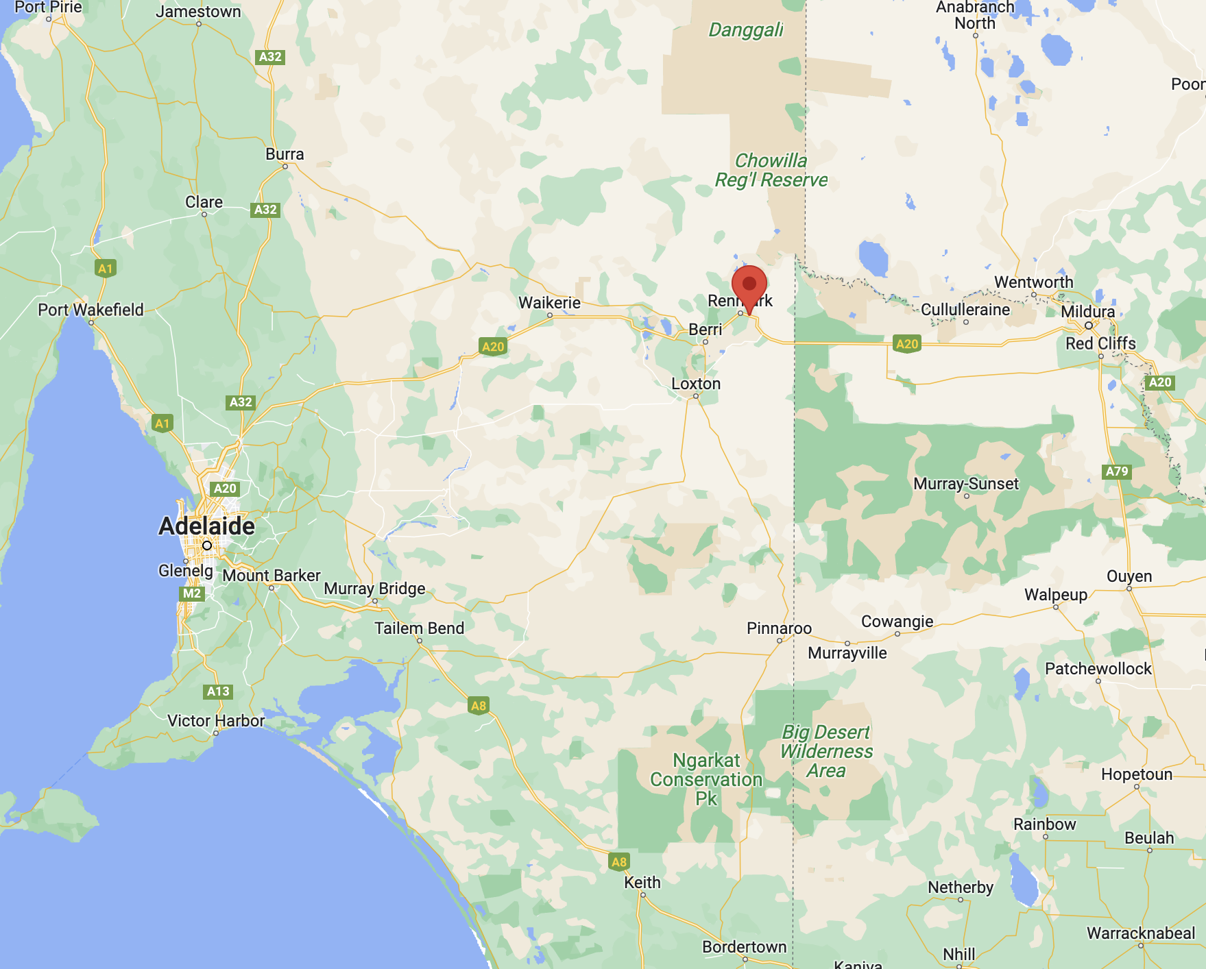
Above:- Map showing the location of the Mantung Conservation Park. Map c/o Google maps.
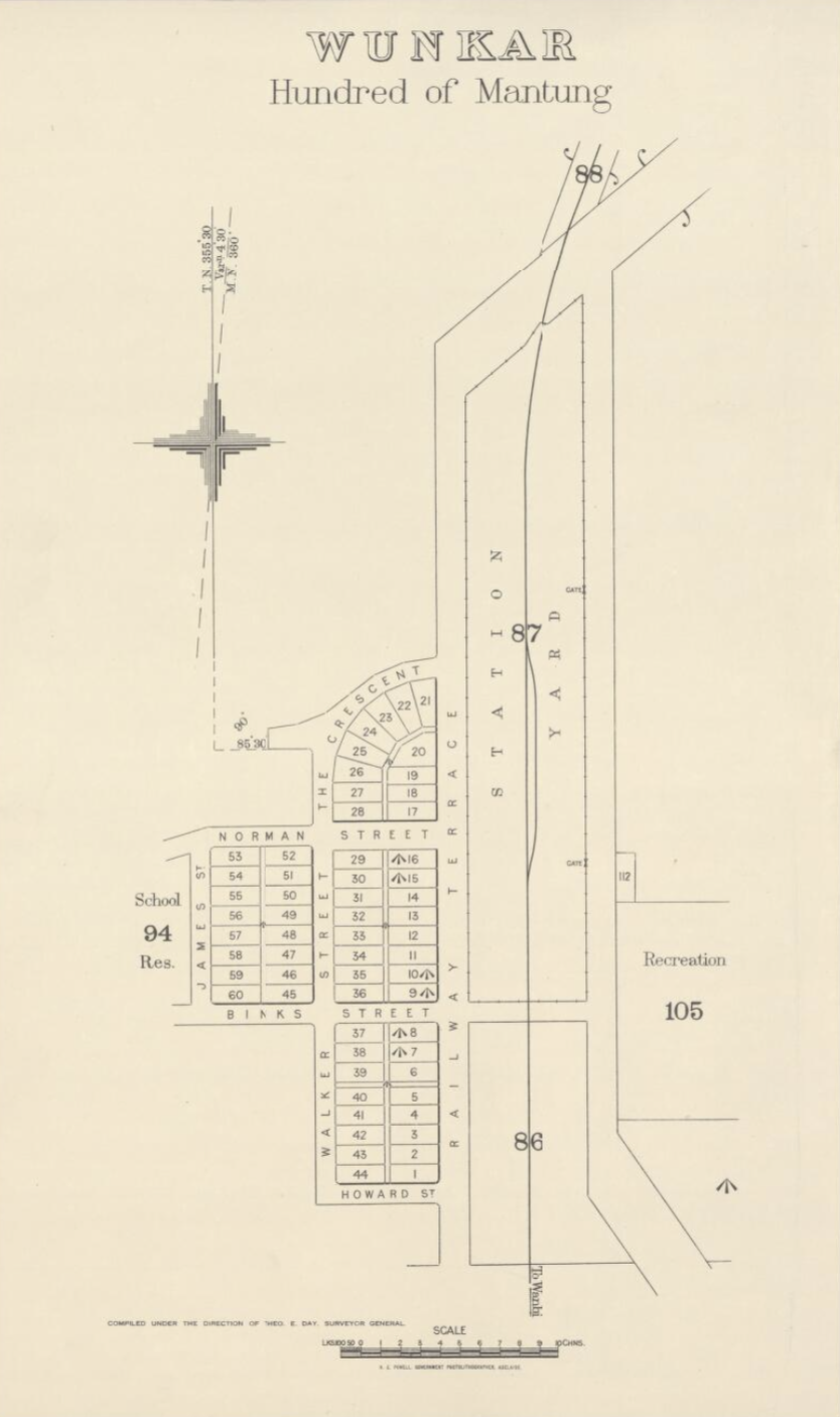
Mantung is aboriginal for ‘water on a native road’. Nomadic aboriginal people who followed sandhills from Jadko north of Swan Reach to Loxton, via Bakara, obtained water from mallee trees. Needle bush roots also yielded water. When the Hundred of Mantung, County of Albert, was proclaimed on the 15th day of June 1893, the name was shown as an Aboriginal waterhole on an 1864 land tenure plan.
The town of Mantung was proclaimed on the 8th day of July 1915. The post office was opened in September 1915. The Mantung school opened in 1921 and closed in 1944. The school was reopened in 1961 and was conducted in the Mantung Hall.
Early in 1914 a meeting was called to arrange for the inauguration of an agricultural show when ‘a strong committee was formed’: Subsequently, owing to the dryness of the season, the committee deemed it wise to postpone the show and hold a farmers’ picnic instead… Thanks largely to the untiring energy of the capable secretary, Mr A.E. Solly, everything went with a swing… Before the folk dispersed in the evening three rousing cheers were given for ‘King and country’…

Above:- Article from the Observer, Adelaide, Sat 10 Oct 1914. Image c/o Trove.
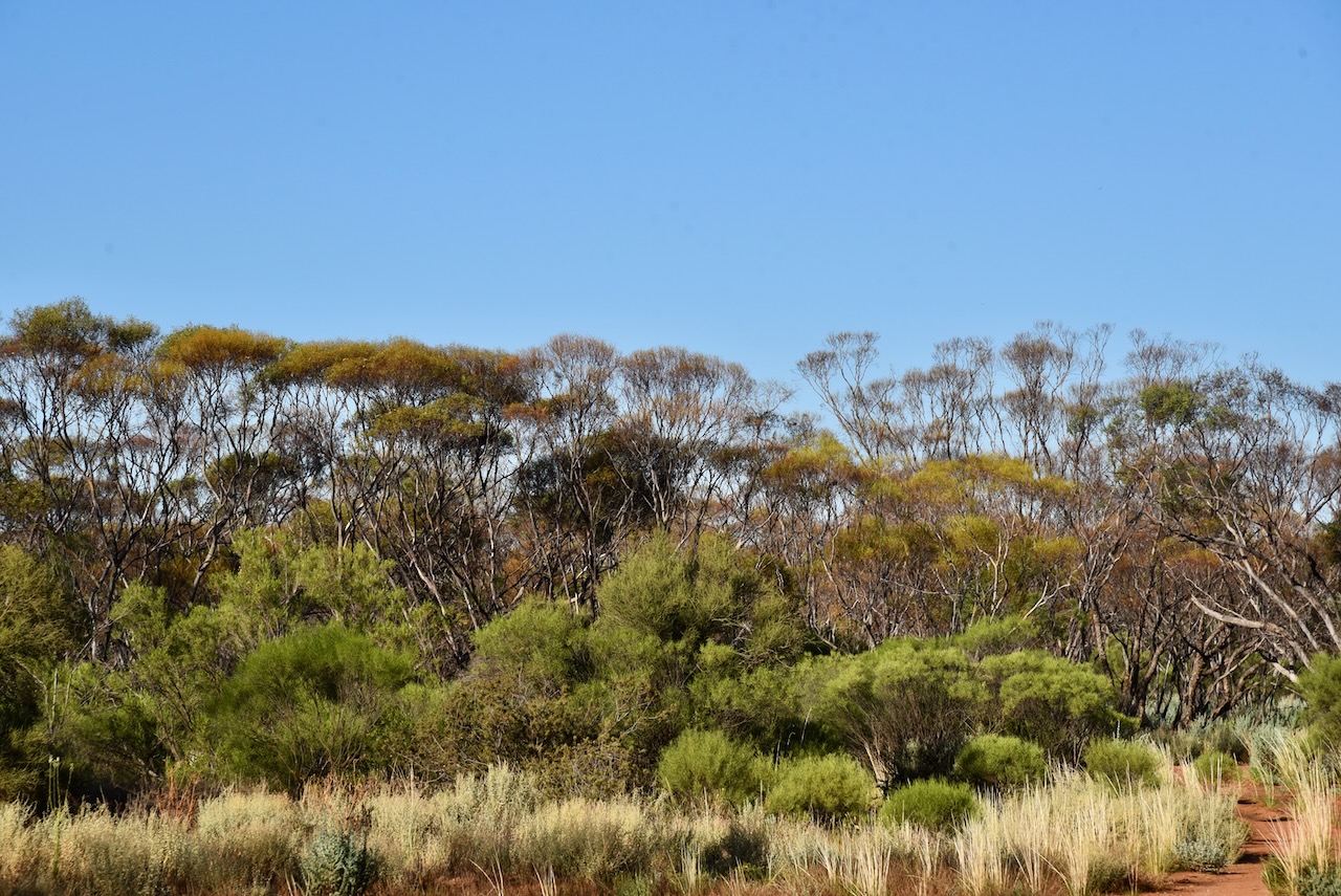
The Mantung Conservation Park is about 1,695 hectares in size and was created on the 16th day of October 2014. The park is part of an extensive area of native vegetation containing the largest intact remnants of deep sand habitat in the Northern Murray Mallee, supporting numerous rare plant species including the rasp daisy bush.
The park can be located on the southern side of Farr Road. The northwestern corner of the park is located at the junction of Farr Road and Evans Road.

Above:- An aerial view of the Mantung Conservation Park. Image co Google maps
The park is important for the conservation of the following bird species – malleefowl, southern scrub robin, shy heathwren, inland thornbill, white-browed babbler and purple-gaped honeyeater.


I pulled into one of the dirt tracks leading off Farr Road. It was a hot afternoon and the flies were out in force, so I operated from the 4WD.

Above:- An aerial view of the Mantung CP showing my operating spot. Image c/o Location SA Map Viewer.
I ran the Yaesu FT857, 40 watts, and the 20/40/80m linked dipole. For 10 & 15m SSB I ran the Icom IC-7000, and the Codan 9350 self tuning antenna.

I made the following QSOs on 40m SSB:-
- VK3PF
- VK5NIG
- VK3SQ
- VK5CZ
- VK1AO
- VK2MET
- VK5PET
- VK5FANA
- VK3GRK
- VK5MAZ
- VK5BJE
- VK3SMW
- VK3BEL
I made the following QSOs on 20m SSB:-
- VK1AO
- Vk2MET
- VK4FW
- VK8MM
- VK2IO
- VK4EMP
- VK4TI
- VK3PF
- VK4TJ
- VK3MB
I made the following contacts on 15m SSB:-
- VK4FW
- VK8MM
- VK3PF
- Vk2IO
- VK1AO
- VK2MET
- VK3MCA
- VK7QP
- VK2FR
- VK4EMP
- VK4TI
- VK4TJ
- VK3JLS
- VK3UAO
- VK4ABF
I made the following QSOs on 10m SSB:-
- VK2FR
- VK4TJ
- VK2IO
- VK4FW
- VK8MM
- WH6LU
- VK3LVH
- VK2FADV
With 46 QSOs in the log, I packed up and headed off to the Bakara Conservation Park.
References.
- A Compendium of the Place Names of South Australia, 2023, <https://published.collections.slsa.sa.gov.au/placenamesofsouthaustralia/>, viewed 4th February 2023.
- Wikipedia, 2023, <https://en.wikipedia.org/wiki/Mantung_Conservation_Park>, viewed 4th February 2023.