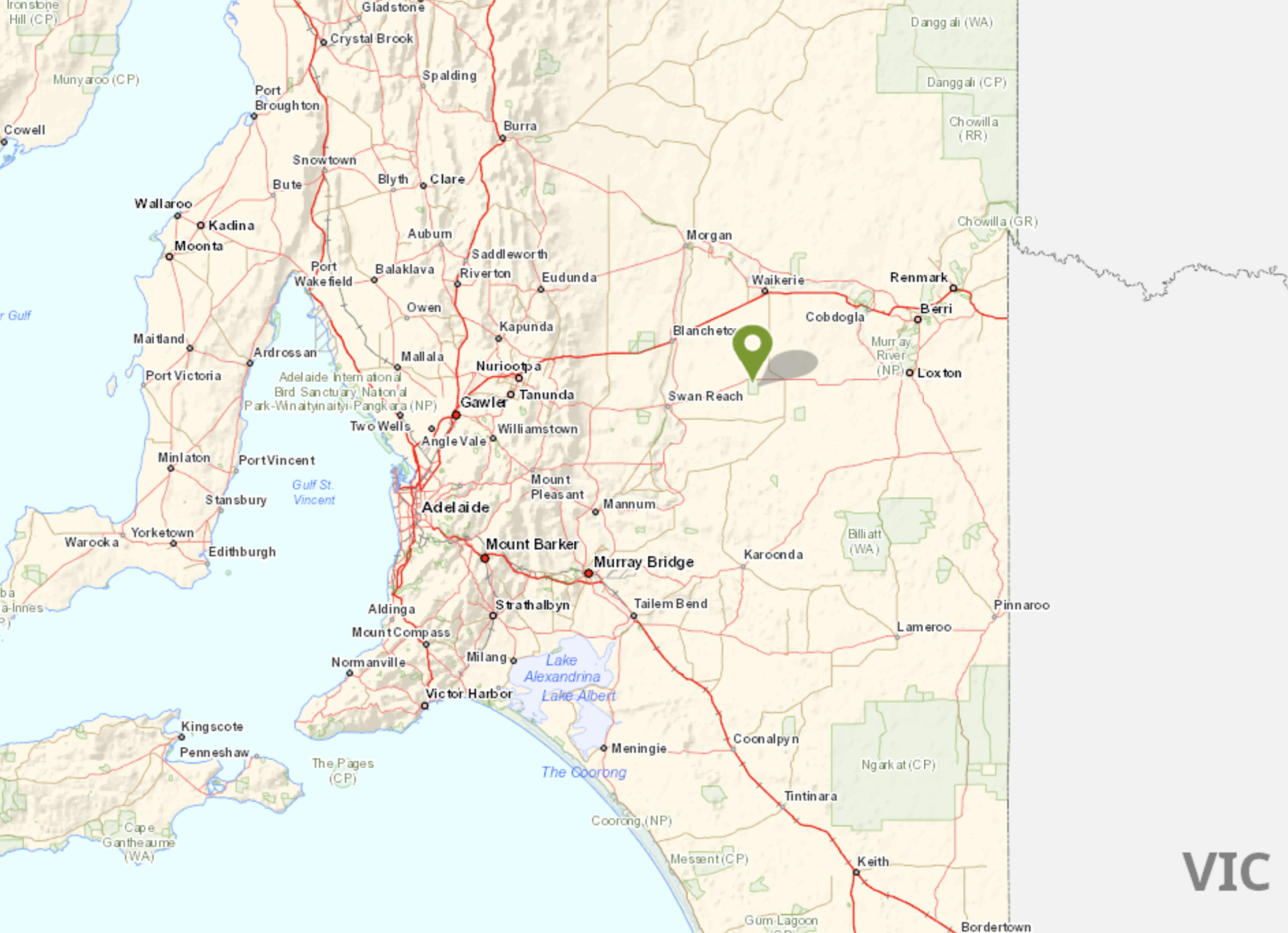
After leaving Bakara I drove north to Waikerie. Due to the recent Murray River floods, the ferry at Swan Reach was closed. This meant that I had to drive 44 km north to Waikerie and then over the bridge at Blancheown. It was fortuitist though, as I was able to activate the silo at Waikeries for the Silos On The Air (SiOTA) program.
I drove north on New Well Centre Road and then turned right on the Stuart Highway back towards Waikerie. I knew that I was back in the Riverland region of South Australia due to all of the orange orchards.

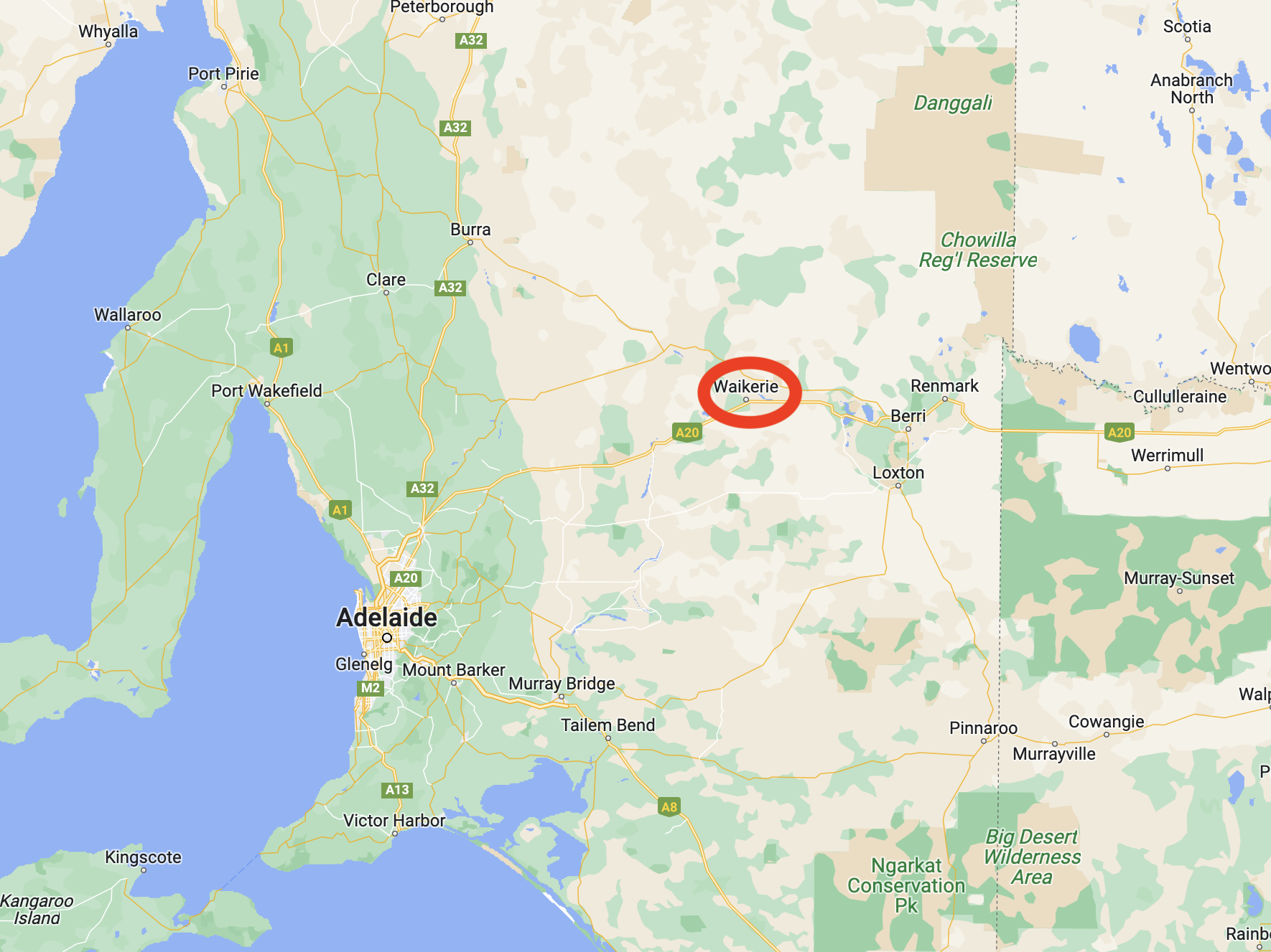
Waikerie is a rural town in the Riverland region of South Australia about 173 km northeast of the city of Adelaide. It sits on the south bank of the mighty Murray River. Waikerie is known for its citrus growing, stone fruit, and grapes.
The Ngawait aboriginal people inhabited the area prior to European settlement. They called the giant swift moth, “wei kari” meaning “many wings’. It is from this that the town of Waikerie derives its name.
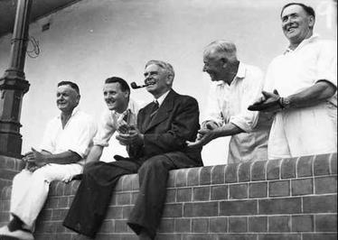
The first European to visit the Waikerie area was the famous explorer Captain Charles Sturt. In late 1929 he rowed a whale boat down the Murrumbidgee River in an attempt to answer the question as to why rivers flowed westward from the Great Dividing Range. On the 14th day of January 1830, he reached the junction with the Murray River. He continued rowing down the Murray River, passing the site of current-day Waikerie. Sturt comments on the ‘grandeur of the cliffs’ in the Waikerie area. Sturt reached Lake Alexandrina on the 9th day of February 1830.

Above:- Captain Charles Sturt. Image c/o Wikipedia.
By 1880 the Shepherd brothers had settled the land around Waikerie. In 1882 W.T. Shepard established the Waikerie station.
Waikerie commenced as a village settlement in 1894 and was part of a government scheme to open up land along the upper Murray River. Steamers along the Murray brought 281 settlers to the area. The steamers brought the settlers rations of tea, sugar, flour and milk. Waikerie was one of nine such farming communities. Each settler was allotted land, tools, and a horse, including funds for food. The scheme eventually failed and in 1910 land was allotted to the first group of private settlers. They grew oranges, peaches, sultanas and other fruits on irrigated blocks.

Above: the Main Street of Waikerie, 1910. Image c/o State Library SA.
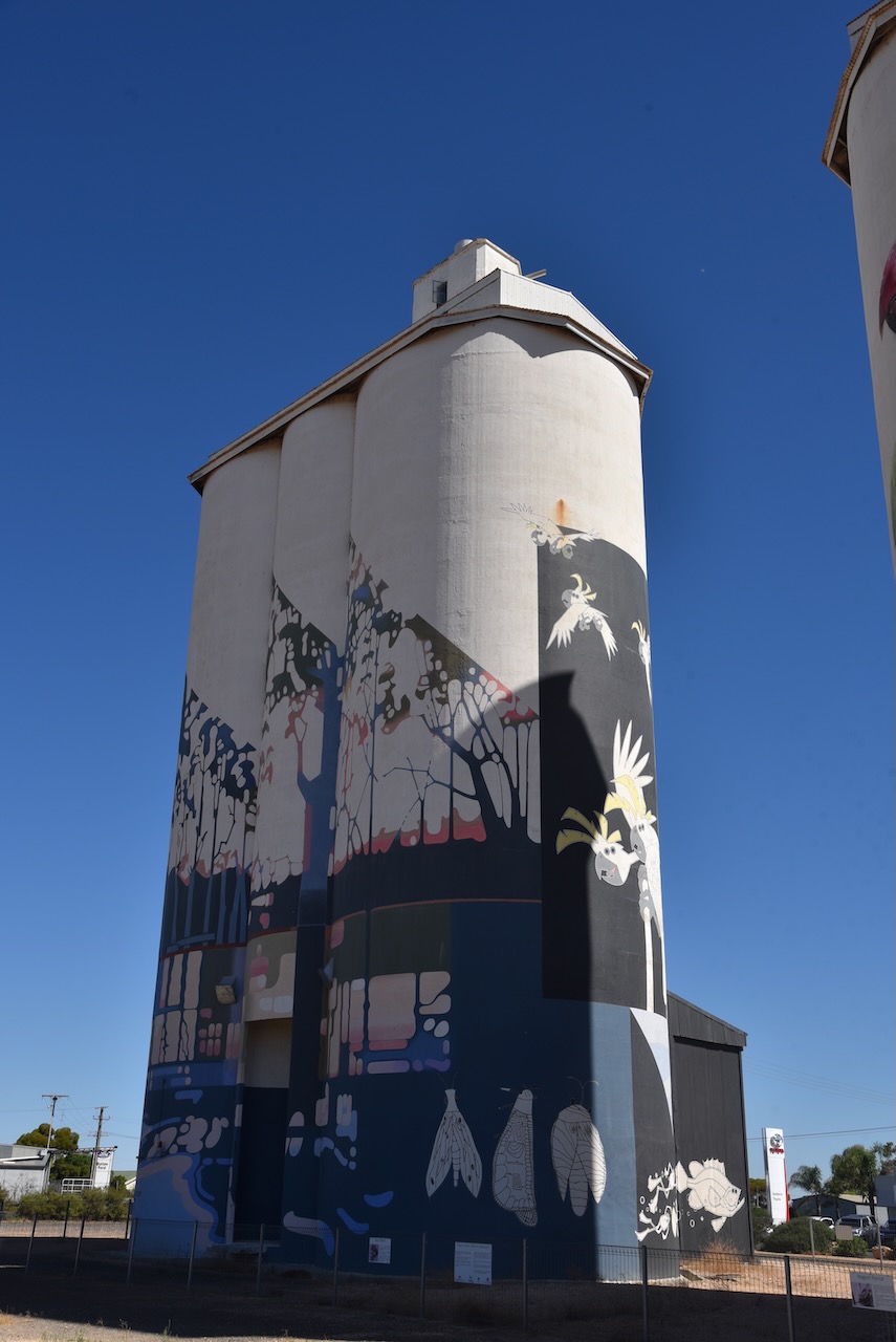
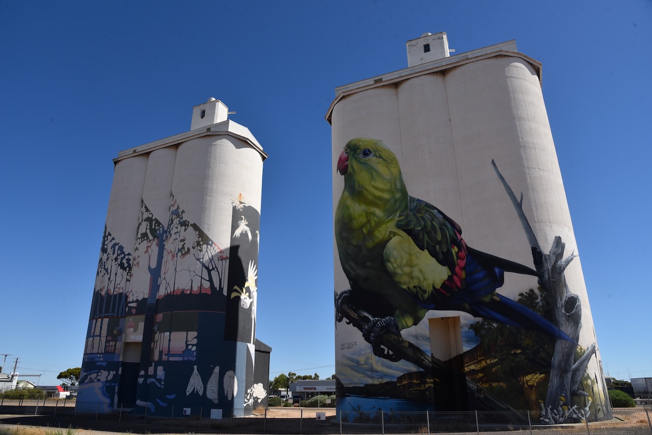
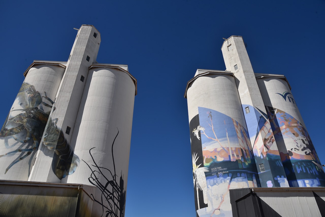
The Waikerie silos are part of the Australian Silo Art Trail and are non-working Viterra silos. They were the fifth silos in South Australia to have silo art/murals painted on them. They were completed in March 2019. South Australian artist Garry Duncan painted one silo with a semi-abstract river landscape. It includes pelicans, ducks, frogs and rain moths. The second silo was painted by Jimmy Dvate from Melbourne. It features a Regent parrot, a yabby and the endangered Murray hardyhead fish.
Exterior enamel paints were used by both artists and the work took 16 weeks to complete, with about 500 litres of paint used.

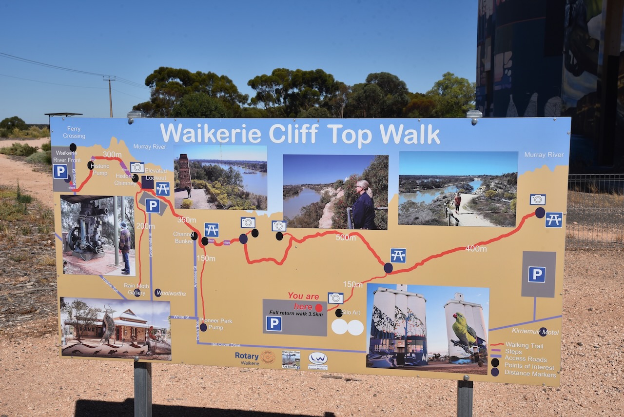


I set up in the car park right alongside of the silo and made a few contacts, but the noise floor was so high that I decided to move. I found a car park south-east of the silo overlooking the Murray River.

Above:- the activation zone for the Waikerie silo. Image c/o SiOTA website.
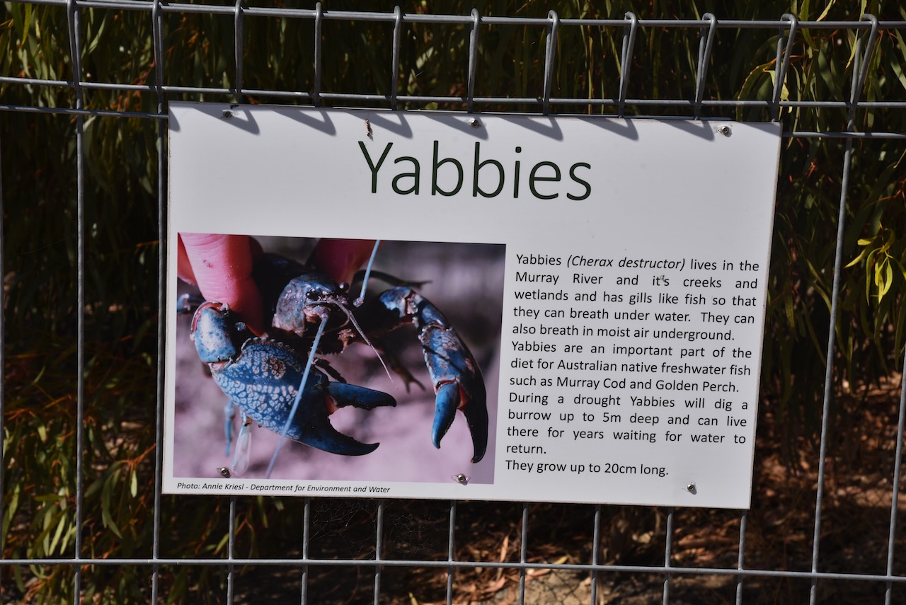
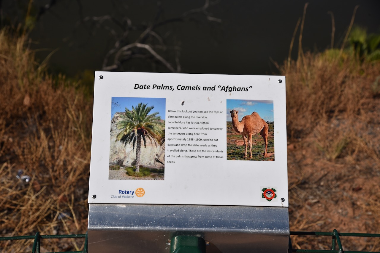
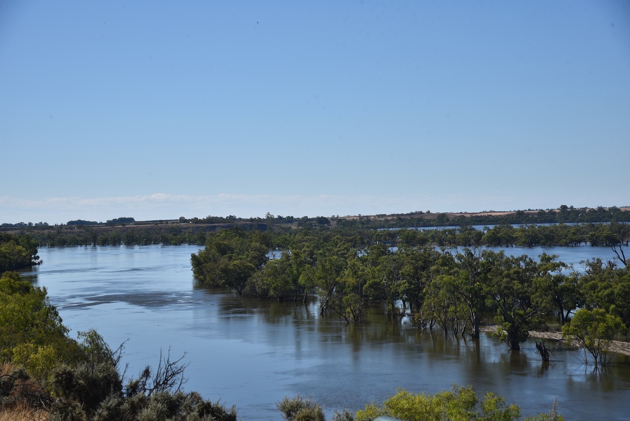
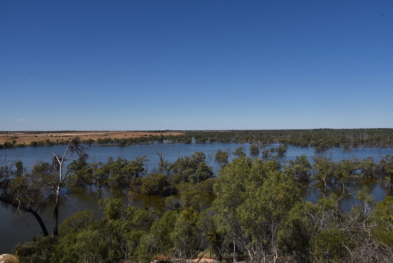
There were a number of interpretive signs at this location and some brilliant views of the Murray River.


I made the following contacts on 40m SSB:-
- VK5MAZ
- VK5GY
- VK3OHM
- VK5FB
- VK5FANA
- VK3PWG
- VK5WY/m
I made the following contacts on 20m SSB:-
- VK1AO
- VK2MET
- VK2IO
I made the following contacts on 15m SSB:-
- VK6AV/2
- VK1AO
- VK2MET
- VK4EW
- VK7IAN
- VK4FSC
- VK2ADI
- VK2MI
- VK3PF
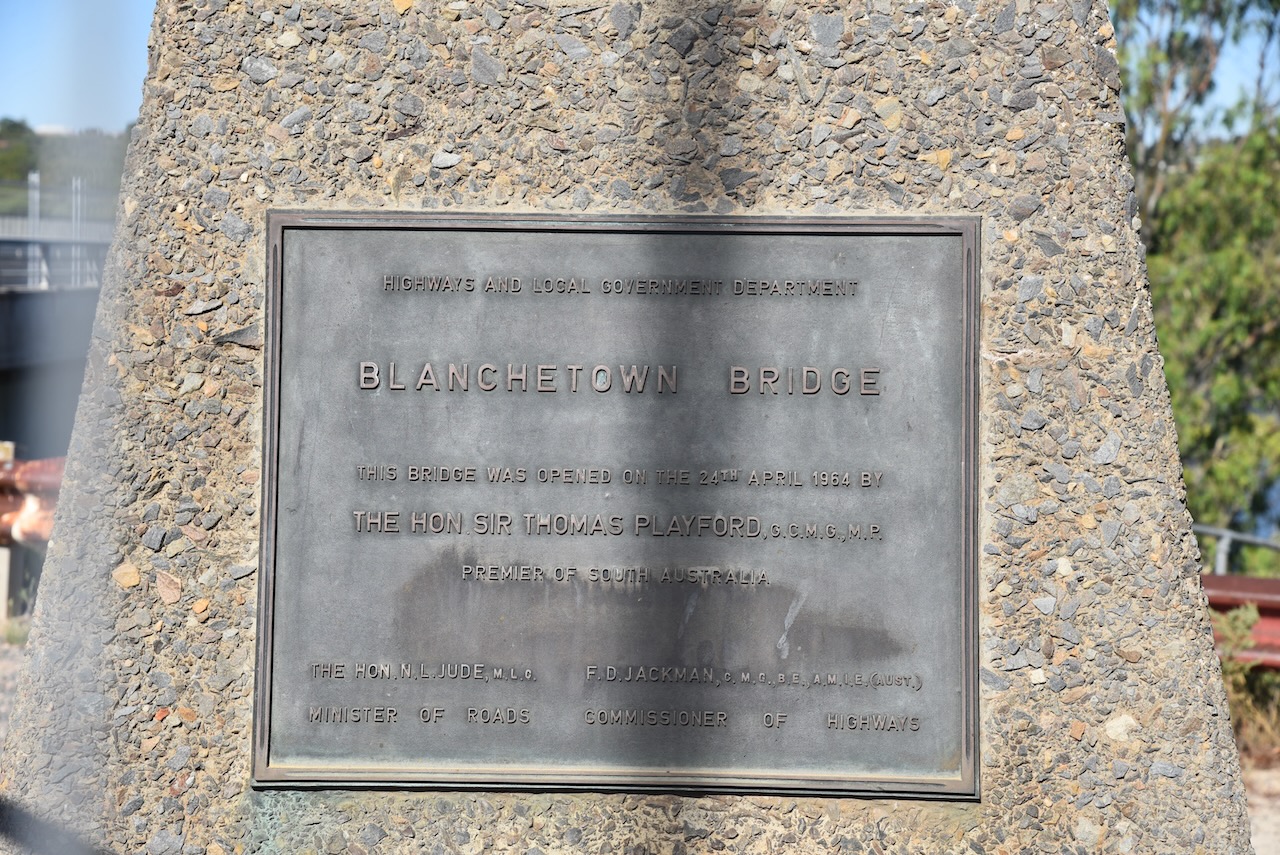
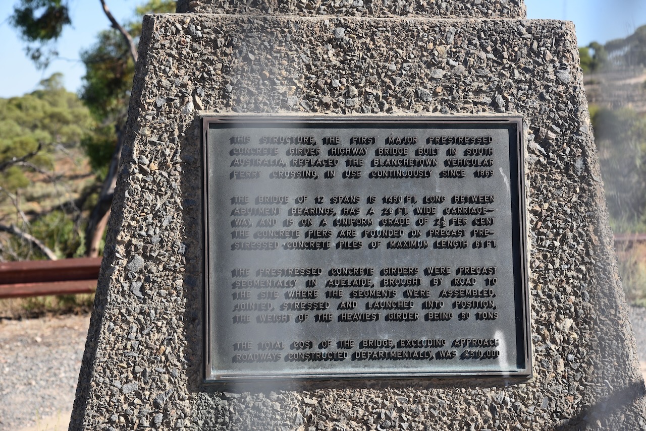
I left Waikerie and headed west on the Sturt Highway and stopped briefly at the town of Blanchetown.
Blanchetown was surveyed in 1855 and on the 27th day of August 1857, the land was offered for sale.
In 1855, Governor MacDonnell was in the area and ‘directed a convenient and beautifully situated rising ground about 5 miles north of Moorundie to be laid out as a township. It is his Excellency’s intention to remove there the quarters of the Native Police and of the Protector of Aborigines, as the houses now inhabited by them are annually subject to inundations.’


The lock at Blanchetown was still submerged due to the Murray River flooding.

References.
- A Compendium of the Place Names of South Australia, 2023, <https://published.collections.slsa.sa.gov.au/placenamesofsouthaustralia/>, viewed 14th February 2023.
- Aussie Towns, 2023, <https://www.aussietowns.com.au/town/waikerie-sa>, viewed 14th February 2023.
- Australian Silo Art Trail, 2023, <https://www.australiansiloarttrail.com/waikerie>, viewed 14th February 2023.
- Waikerie, 2023, <https://en.wikipedia.org/wiki/Waikerie,_South_Australia>, viewed 14th February 2023.