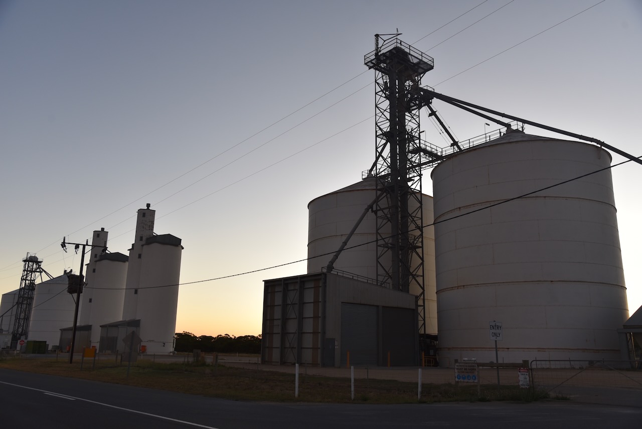
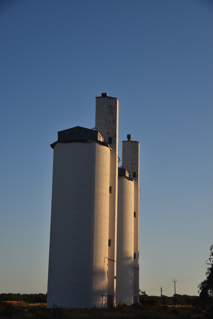
My final activation for my Riverland trip was the Apamurra silo VK-APA5.
Apamurra is located about 77 km east of Adelaide, and about 38 km north of Murray Bridge.
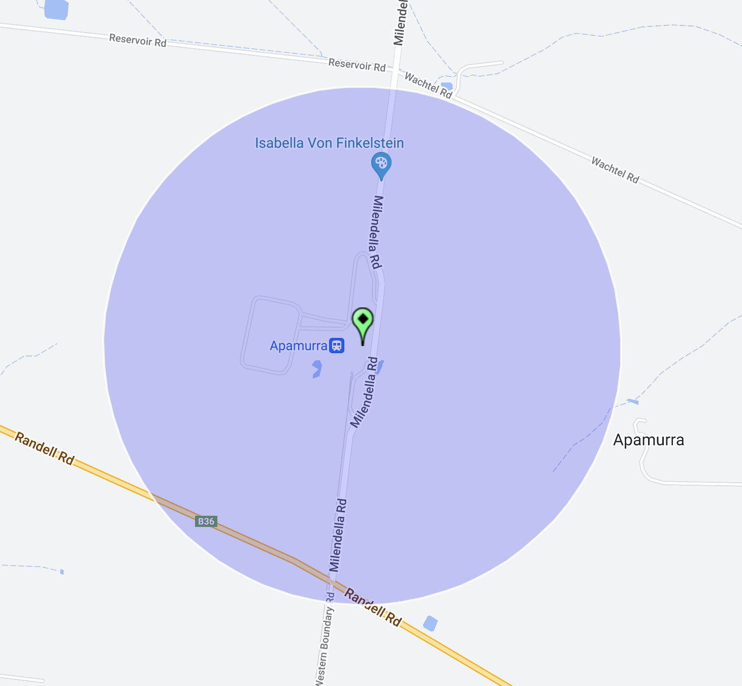
Above:- Map showing the location of Apamurra. Map c/o Google maps.
Apamurra is a railway siding on the former Monarto-Sedan railway. Apamurra is an aboriginal word meaning ‘fresh water’. The township of Apamurra was laid out in 1921 on part sections 30-31, Hundred of Finniss, by Johann Gottfried Hartmann. It comprised 19 allotments contiguous to the railway station. On the 17th day of February 1922, the Apamurra Post Office opened. It closed on the 31st day of July 1971.
I operated from the 4WD on the side of the road opposite the silos.
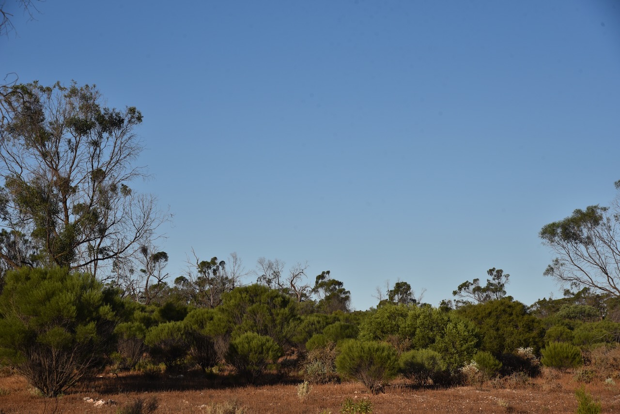
Above:- The activation zone at the Apamurra silo. Image c/o SiOTA website.
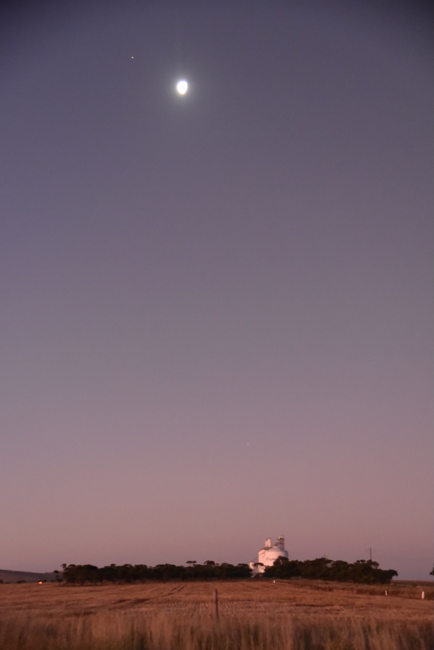
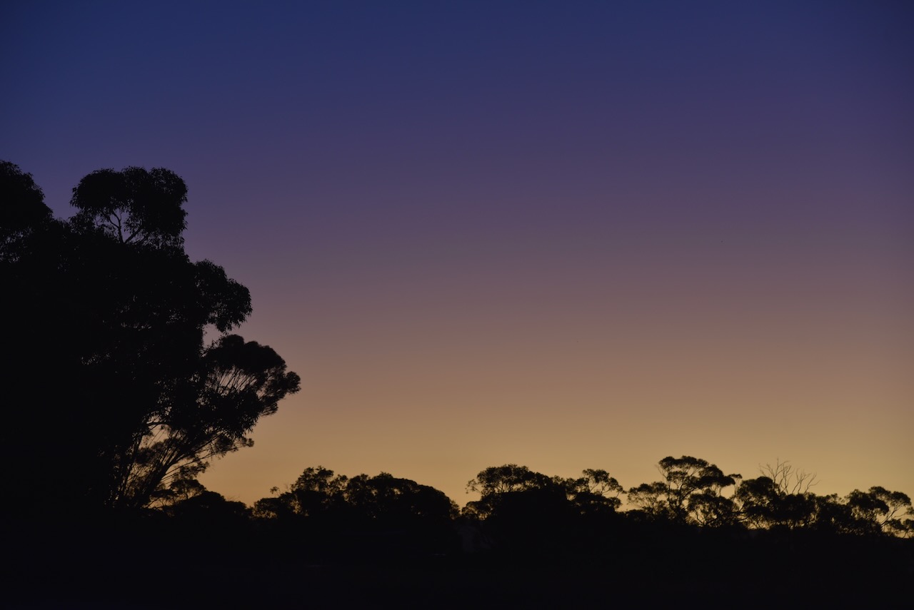
As I operated I enjoyed a beautiful sunset.
I made the following contacts on 40m SSB:-
VK3PF
VK4SMA
VK1AO
VK2MET
VK2IO
VK3OHM
VK5MAZ
VK3WMF
VK5FANA
VK4GNG
VK2BED
VK3PWG
VK1CHW
VK5FB
VK3APJ
VK3MCA
I made the following contacts on 80m SSB:-
VK5MRE
VK3TCT
It was the end of a great couple of days in the Riverland and the Murray Mallee.
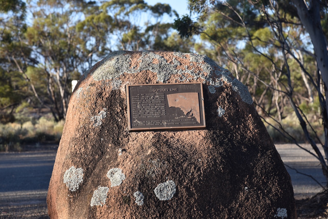
After leaving the Brookfield Conservation Park, I continued west on the Sturt Highway and then turned to travel south on Halfway House Road. Prior to that, I stopped briefly to have a look at the Goyders Line monument on the Sturt Highway. I have spoken about Goyders Line previously in other posts. But in summary, it is a boundary line across South Australia corresponding to a rainfall boundary believed to indicate the edge of the area suitable for agriculture.
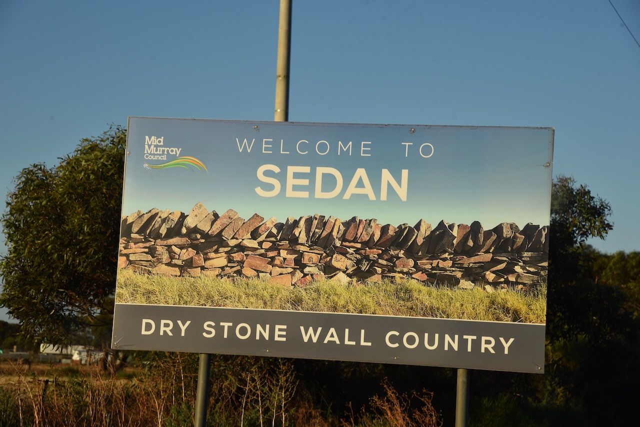
After travelling about 25 km along Halfway House Road, I reached the small town of Sedan. It is known as ‘Dry stone wall country’ due to the numerous dry-stone walls built by early settlers that can be found in the area.
The first known European settlement in the area was from 1845 when ‘Rhine Run’ was taken up by George Melrose (b. 1806. d. 1894), following his arrival in South Australia in 1839.
In 1872 the Sedan Post Office was opened. In 1873, portion of section 52 Hundred of Bagot, was granted to J.W. Pfieffer (b. 1825. d. 1910). He had arrived in South Australia aboard the Zebra in 1838. He subdivided the land in 1875 as the township of Sedan. It was extended in 1883, with the creation of Sedan East on part section 46, surveyed by C. Von Bertouch.
The Sedan School was opened in 1912 and was closed in 1980.
The town takes its name from the battle of Sedan in Europe and its affiliation with the German population in South Australia.
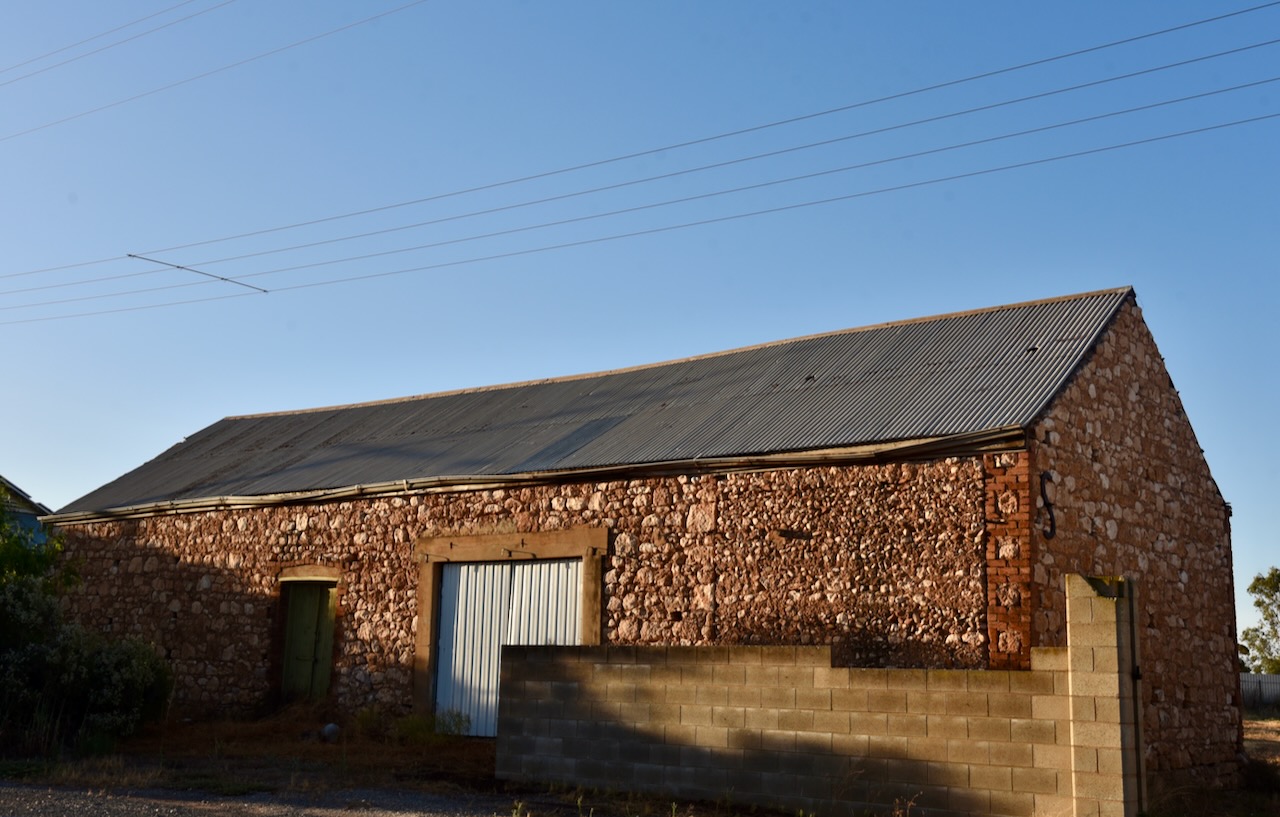
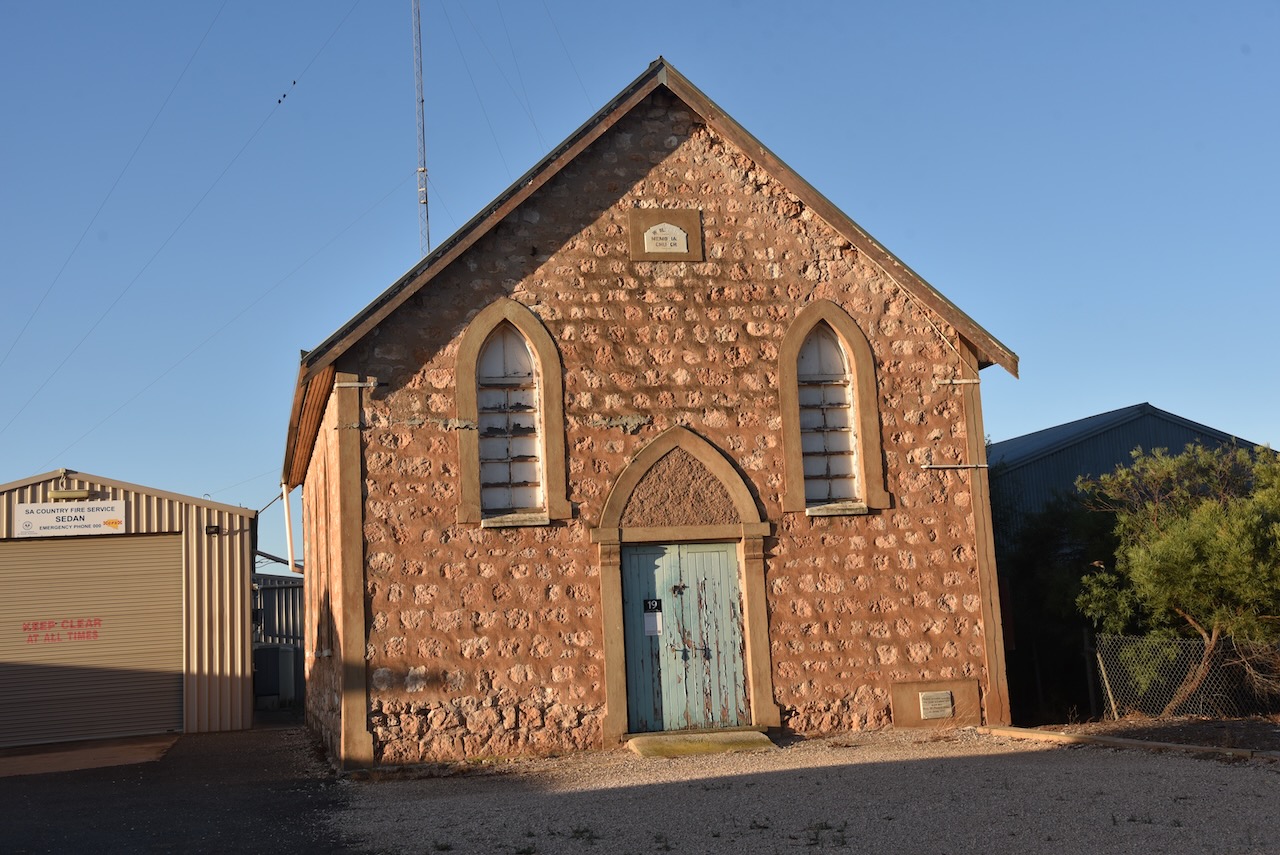
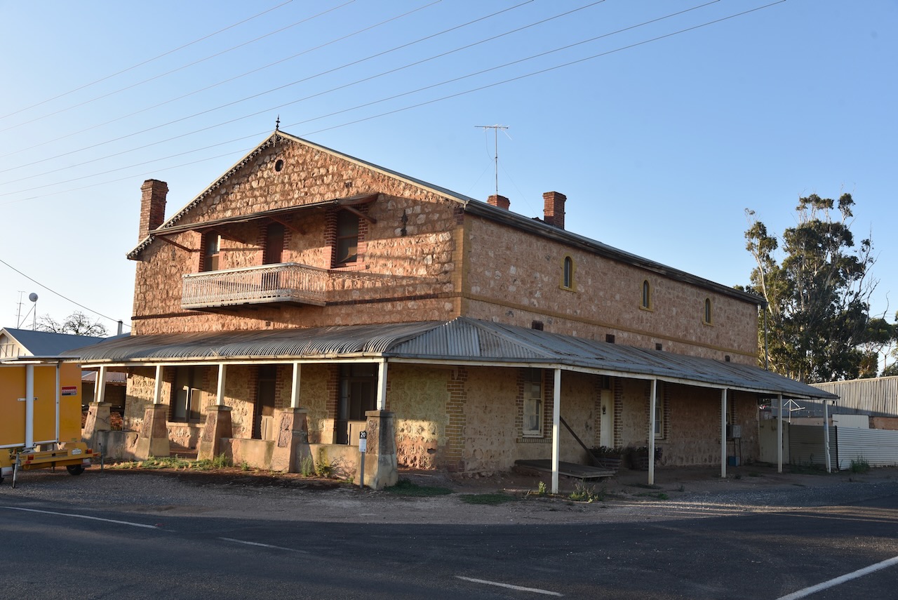
The town has a number of historic buildings.
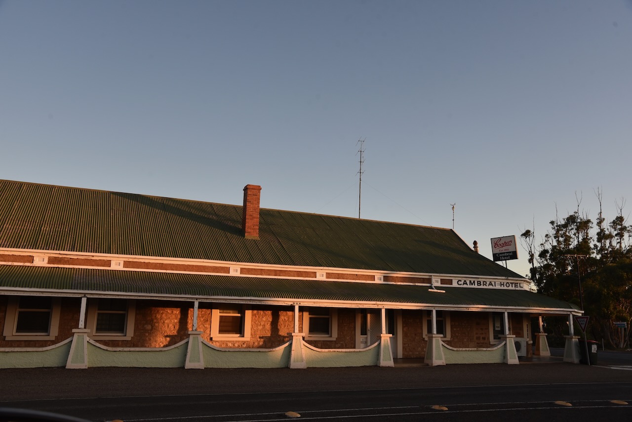
Just 10km down the road I reached the little town of Cambrai. It was originally laid out in 1882 by Abel Pollard Skinner as Rhine Villa. It was one of the numerous Australian towns which were re-named by the Nomenclature Committee during the First World War to remove any connection with German names. It was renamed Cambrai after the Battle of Cambrai. The original proposal was Pongaree Villa, but the government opted for Cambrai. Pongaree is an aboriginal word meaning ‘shade reflection in the water’.
The Rhine Villa school was opened in 1888, with the school being closed in 1916, along with all German schools. It reopened in 1935 and permanently closed in 1955.
Cambrai was located on the Sedan railway line and served as the terminus of the line from 1964 until the 1980s.
Sadly the old Cambrai hotel is closed. Marija and I enjoyed a very nice meal there a number of years ago on our way back from the Riverland. Like many towns, with the death of the railway….so to brought the death of the town.
Above:- the Rhine Villa Hotel, c. 1905. Image c/o State Library SA.
The Cambrai silos can be located on Silo Road which runs of Black Hill Road on the eastern side of the town.
I operated from the 4WD in the parking area adjacent to the silos. I ran the Icom IC-7000, 100 watts, and the Codan 930 self-tuning antenna mounted on the rear of the 4WD>
Above:- the activation zone at Cambrai for the silos. Image c/o SiOTA website.
I made the following QSOs on 40m SSB:-
VK3ACU
Vk5MAZ
VK2IO
VK3OHM
VK3PF
VK5FANA
VK1CHW
VK1AO
VK2MET
VK2NA
VK4SMA
VK3ACZ
VK1ARQ
VK3PWG
It was starting to get dark and I was hoping to active one more silo at Apamura, and I still had some way to go before reaching home. So with 14 QSOs in the log I hit the road and headed to Apamura.
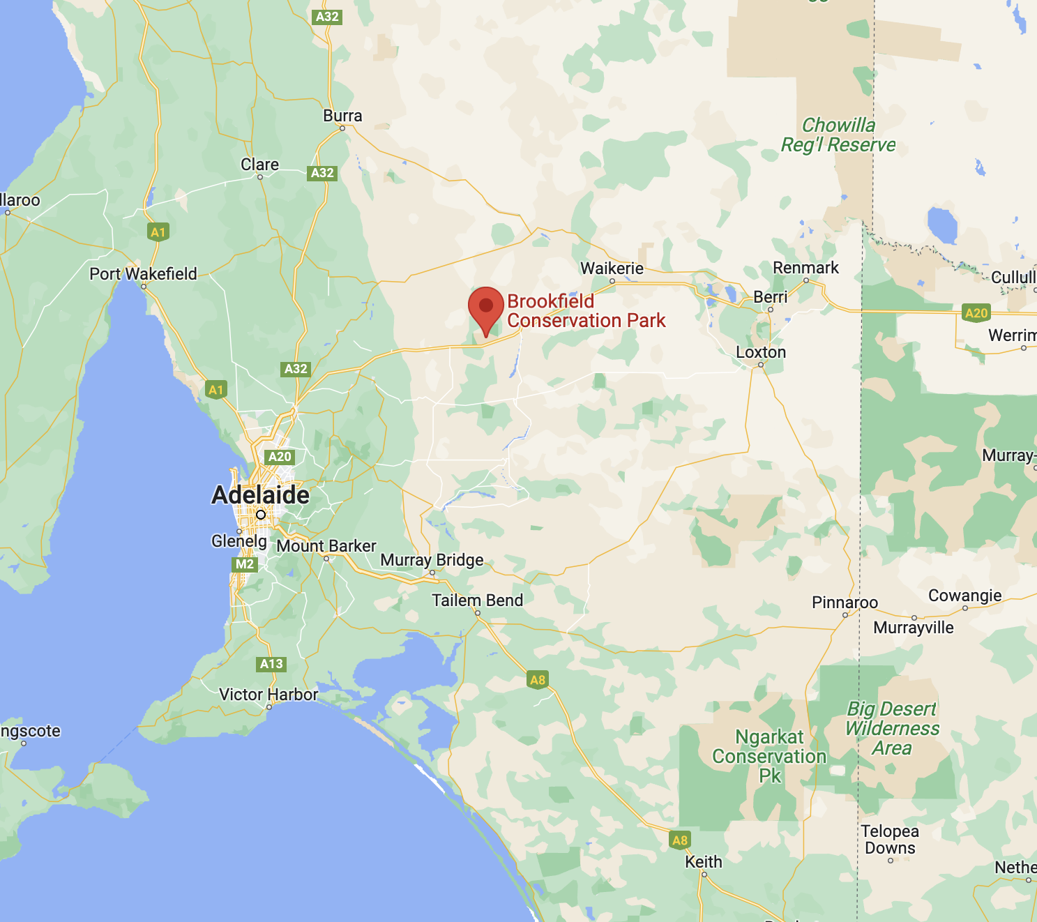
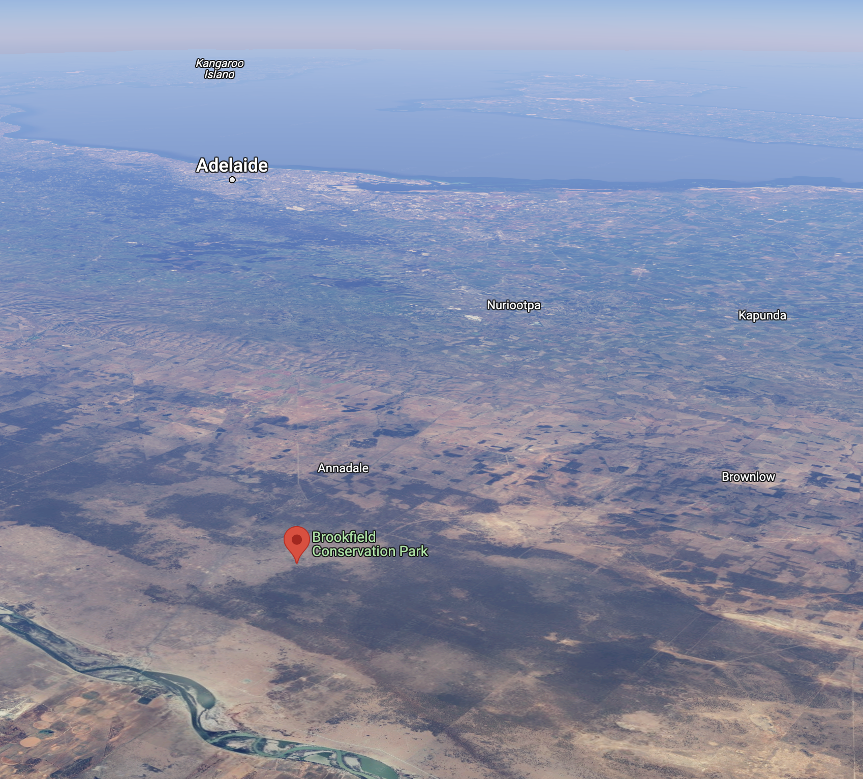
After leaving Blanchetown I continued west on the Sturt Highway and soon reached the Brookfield Conservation Park VKFF-0922.
The park is located about 130 km northeast of the city of Adelaide, and about 14km west of Blanchetown.
Above:- Map showing the location of the Brookfield CP. Map c/o Google maps.
Prior to European settlement of the area around Brookfield, the Ngaiawang aboriginal people occupied the area. The Ngaiawang nation consisted of about 388,000 hectares on the Western Murray Plains.
By 1836 the area was settled by Europeans who held pastoral leases with large holdings of sheep. In later years the area was known as Glen Leslie Station with about 1,800 to 2,00 sheep being grazed during good years. Timber was also cut on the station which was used for wood and for charcoal. Today, the charcoal pits and shearing sheds still remain in the park.
During the early 1970s, moves to purchase a reserve for the conservation of the Southern Hairy-nosed Wombat were initiated by the Director of the Brookfield Zoo in Chicago, Dr William Peter Crowcrof (b. 1922. d. 1996). Crowcroft was the former Director of the South Australian Museum.
Above:- Professor Peter Crowcroft. Image c/o Toronto Public Library.
In 1971, the Chicago Zoological Society purchased Glen Leslie Station, an area of 5,527 hectares. At this time it was named the Brookfield Zoo Wombat Reserve. The Reserve was administered by a committee of management funded by the Chicago Zoological Society, with the former landholder, Mr. Raymond Clifton Dorward, employed as full-time resident warden. One of the aims was:
“to achieve a wombat population of optimum size and structure consistent with the maintenance of an intact habitat.”
Due to rising costs, in 1977 the Chicago Zoological Society gifted Brookfield Zoo Reserve to the Southern Australian State Government. One of the conditions was that ‘the reserve would be proclaimed a Conservation Park‘. In August 1977 the then Department for the Environment assumed financial and managerial responsibility for the reserve. The Brookfield Conservation Park was proclaimed on the 6th day of July 1978.
The video below explains the history of the park.
There is a Restricted Access Zone over the majority of the park with prohibited entry to all except for the relevant authorities. Please ensure that you do not encroach into this area.
Above:- Map of the park showing the Scientific Research areas. Map c/o NPWS SA.
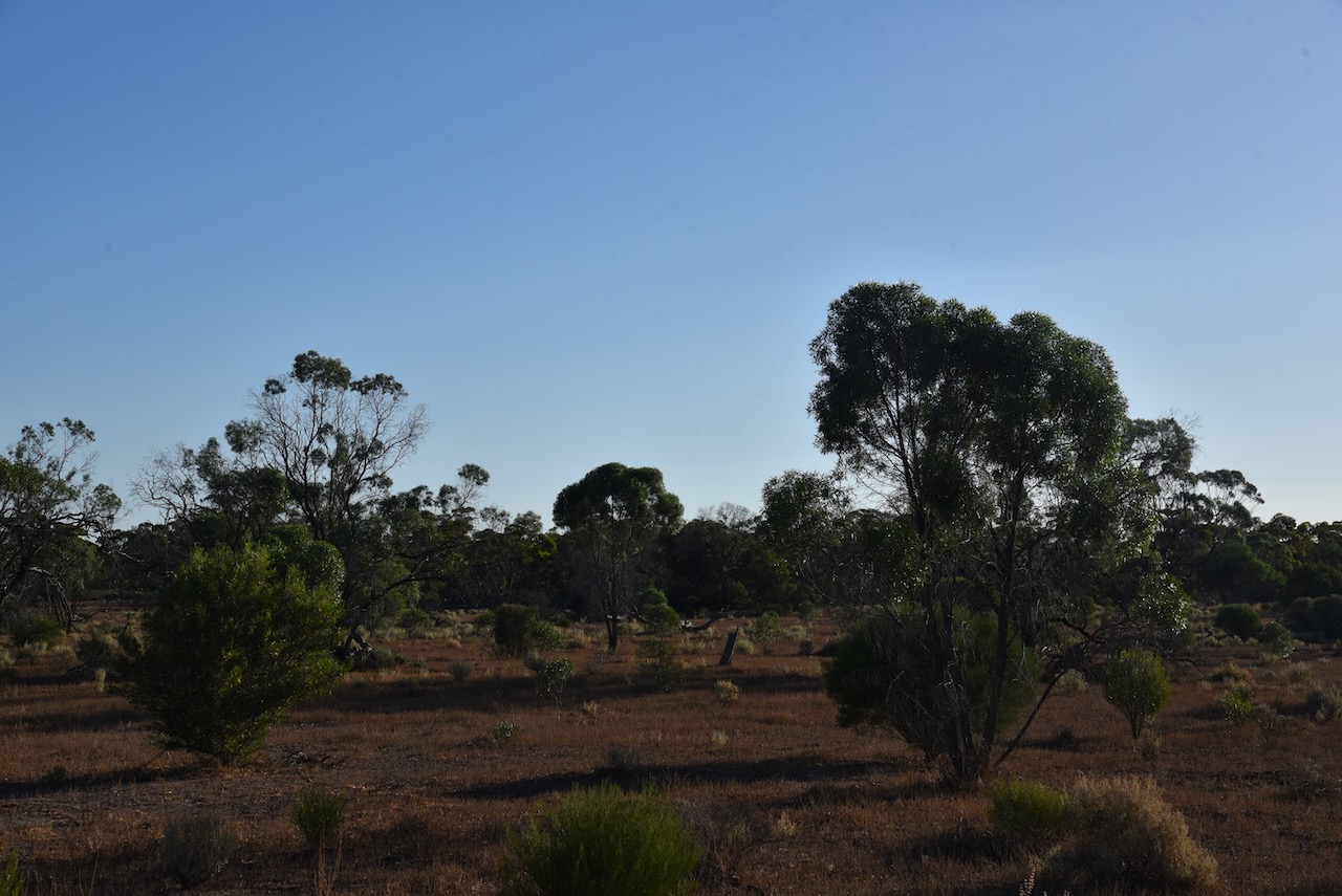
The vegetation in the park comprises on the ridge in the northern section of the park, and extending north into the adjacent area, ridge-fruited mallee, red mallee, and narrow-leaved mallee over porcupine grass and sparse bitter saltbush. The northwestern corner of the park is dominated by yorrell open mallee over sparse bitter saltbush and pearl bluebush. In the southeastern section of the park the understorey consists of a large expanse of regenerating pearl bluebush. The central areas of the park are covered by low woodland and tall shrubland typically dominated by sheep bush and sugarwood. Dryland tea-tree can be found around the claypans in the park. The understorey is characterised by Australian boxthorn, bullock bush, caustic weed, and heron’s bill.
Other than the Southern hairy-nosed Wombat, other native mammals found in the park include the fat-tailed dunnart, common dunnart, red & western grey kangaroos and emus.
Birds SA have recorded about 147 species of bird in the park including the vulnerable malleefowl and the rare stone curlew. Other bird species include Purple-backed Fairywren, Splendid Fairywren, Australian Magpie, Crested Pigeon, Chestnut-rumped Thornbill, Brown Treecreeper, Southern Whiteface, and Weebill.
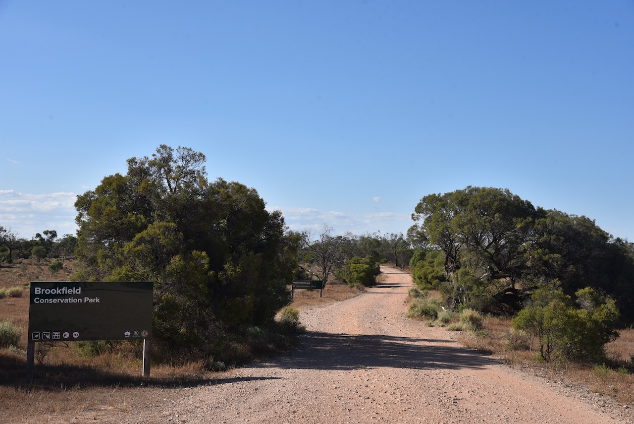
I drove into the park via the entrance off the Sturt Highway and I set up opposite the information board. I ran the Yaesu FT-857, 40 watts, and the 20/40/80m linked dipole for this activation. For 15m and 10m, I used the Codan 9350 self-tuning antenna mounted on the rear of the 4WD.
I made the following contacts on 20m SSB:-
Vk3PF
ZL2WG
VK2IO
ZL3MR
VK1AO
VK2MET
VK4EMP
VK4TI
OH6GAZ
OH5EP
OE9WPV
VK4TJ
OH1MM
IW2BNA
VK4SMA
IW2NXI
F4ICM
OH1XT
ZL1TM
I made the following contacts on 15m SSB:-
VK1CHW
VK2IO
VK3PF
ZL1TM
VK4TJ
VK4SMA
VK4EMP
VK4TI
IW2NXI
VK4IDK
YL2BJ
VK1AO
VK2MET
VK2GMC
VK4KC
VK4MAD VK4DOG
I made the following contacts on 10m SSB:-
VK1AO
VK2MET
VK4OTZ
VK2IO
VK4HAT
VK4TJ
VK2MTZ
VK2JJM
I made the following contacts on 40m SSB:-
VK4HAT
Vk3CWF
VK5MAZ VK3PF
VK4SMA
VK2MOE
VK3MCA
VK5PHR
VK5FANA
VK4KTW
VK3PWG
VK3APJ
VK3DET
VK5WU
VK5TS
VK3AMO
VK2XB/m
VK4EMP
VK4TI
VK7EE
VK3PAX
VK3PAB
VK5MOS
VK3ACZ
VK2MTZ
VK5GY
With 70 QSOs in the log, it was time to move on to the Cambrai silo for a SiOTA activation.