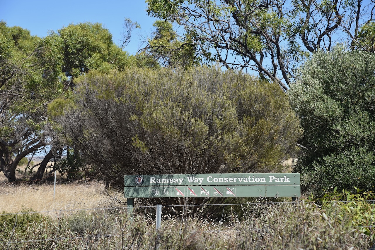
After leaving Port Vincent, Marija and I headed to the Ramsay Way Conservation Park VKFF-0815. I have previously activated this park.
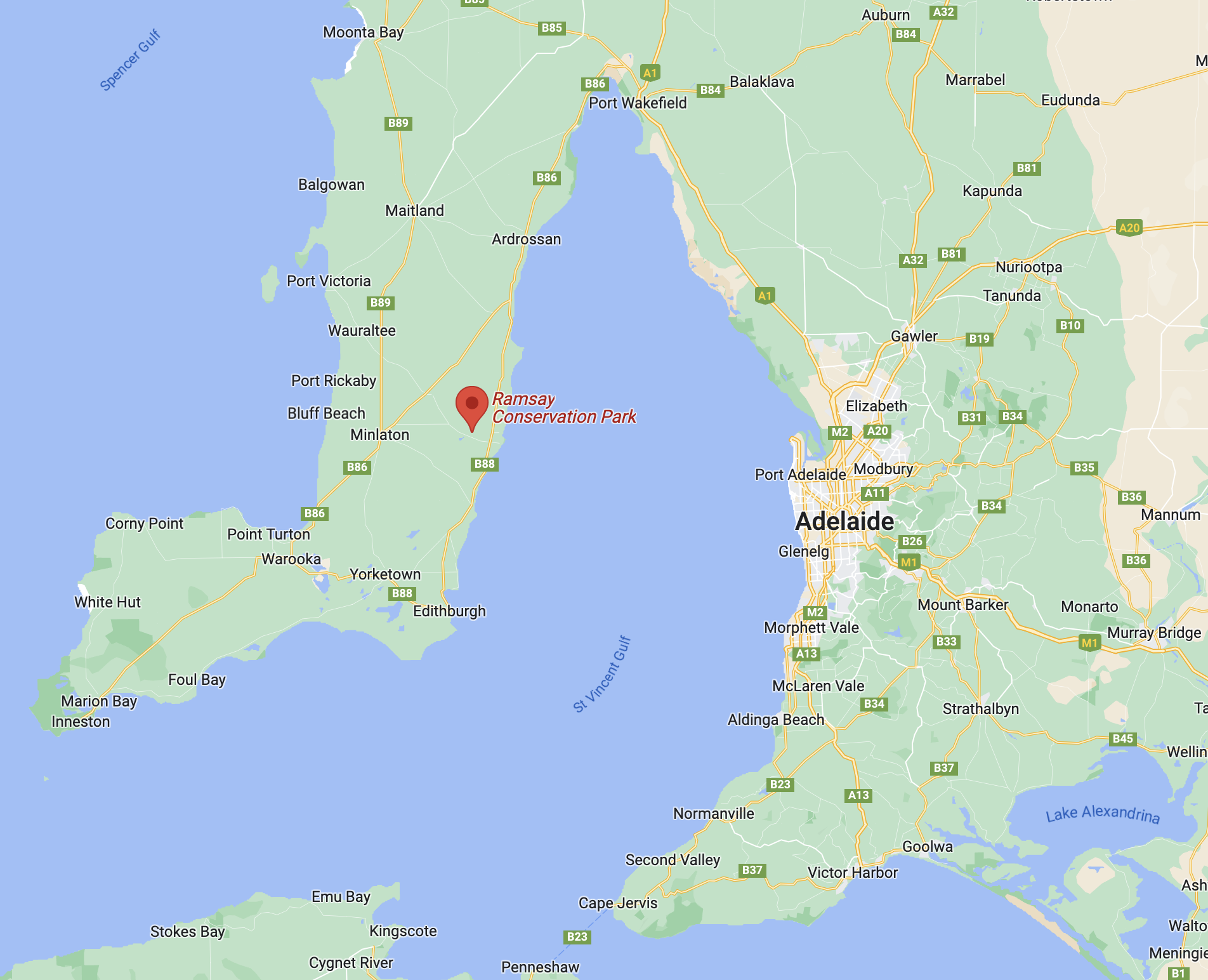
Above:- Map showing the location of the Ramsay Way CP. Map c/o Google maps.
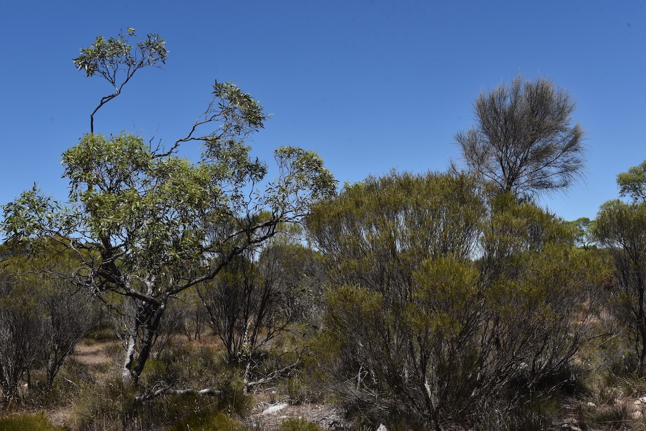
The Ramsay Way Conservation Park (often just referred to as Ramsay Conservation Park) is about 147 hectares in size. It is located on the western side of Power Line Road, about 7 km west of the town of Port Vincent.
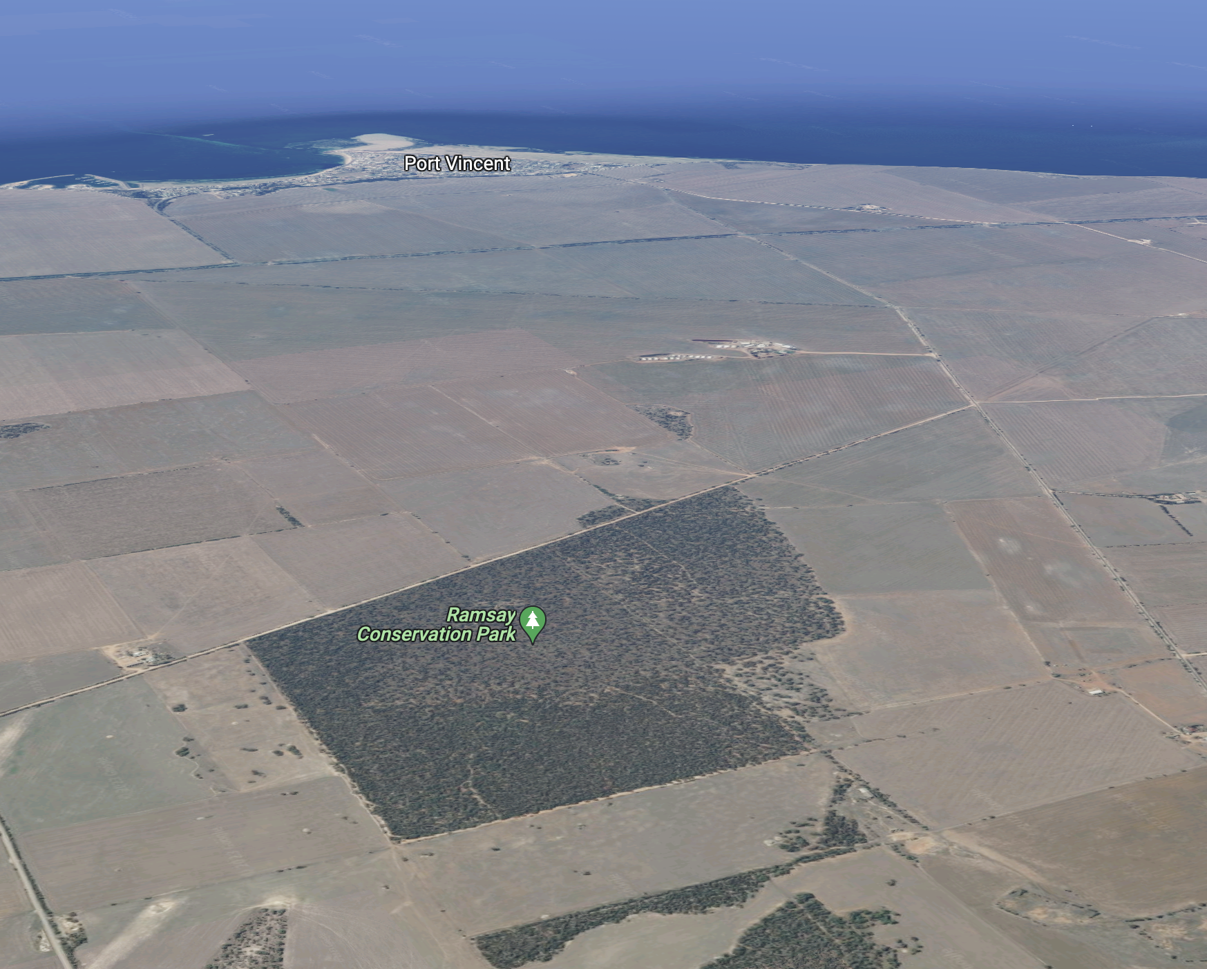
Above:- An aerial view of the Ramsay Way CP looking west towards Port Vincent. Image c/o google maps.
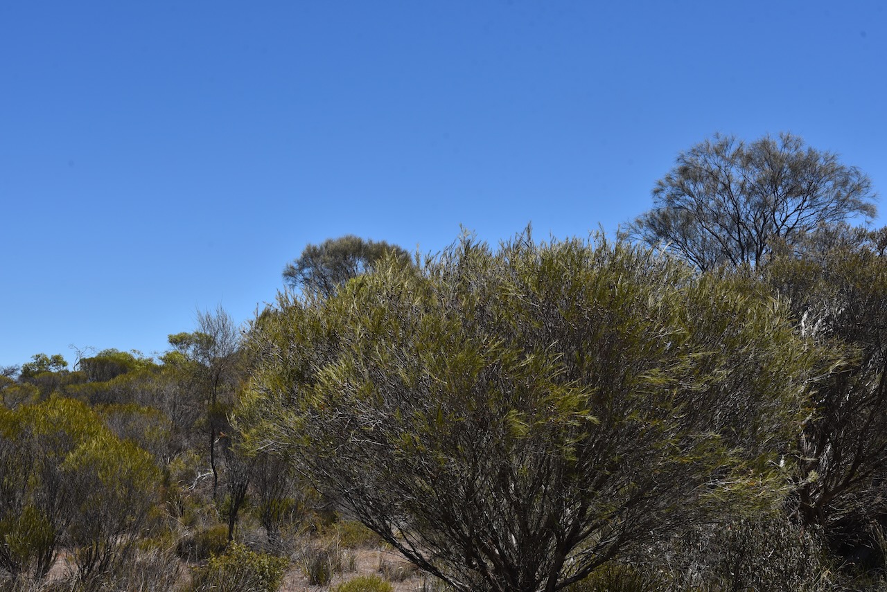
The park was proclaimed on the 14th day of February 2008 and is located in the Minlaton Curramulka Threatened Habitat Area. The primary vegetation in the park is sheoak and mallee, with very low woodlands and a grassy understorey. The nationally and State endangered Jumping-Jack Wattle can be found in the park. This plant is not located in any other park on the Yorke Peninsula.
eBird has recorded a total of 60 species of bird in the park including Common Bronzewing, Yellow-plumed honeyeater, Striated Pardalote, and Wedge-tailed eagle.
Marija and I found an unlocked gate on Power Line Road and we drove a short distance into the park as there were no defined tracks. We operated from the vehicle running the Icom IC-7000, 100 watts, and the Codan 9350 antenna mounted on the rear of the 4WD. Despite the power lines running along the aptly named Power Line Road, we had no noise.
Unfortunately, I fell 4 contacts short of the 44 required to qualify the park for the global World Wide Flora Fauna Program.
Marija worked the following stations on 4m SSB:-
VK5TRM
VK5IS
VK5FANA
VK5BJE
VK5GY
VK3PF
VK5WRJ
VK2YK
VK5GA
VK5FR/m
I worked the following stations on 40m SSB:-
VK5TRM
VK5IS
VK5FANA
VK5BJE
VK5GY
VK3PF
VK5WRJ
VK2YK
VK5GA
VK5FR/m
Vk3TBR
I worked the following stations on 20m SSB:-
VK4TJ
VK4HAT
VK1AO
VK2MET
VK2IO
VK3SQ
I worked the following stations on 15m SSB:-
VK1AO
VK2MET
VK4TJ
VK8DNT
VK2NP
VK3PF
VKL2LEE
VK3UH
VK2VW
Vk2HFI
VK2IO
I worked the following stations on 10m SSB:-
VK4TJ
VK2IO
VK1AO
VK2MET
VK2FADV
VK2LEE
VK2NP
VK5KHZ
VK5LA/m
VK5HS/m
VK5ZSA
VK5KVA
References.
Department for Environment and Heritage, 2009, Mainland Conservation Parks of Yorke Peninsula
It was now Monday 6th February 2023, and Marija had planned some sightseeing and some park and silo activations during the day.
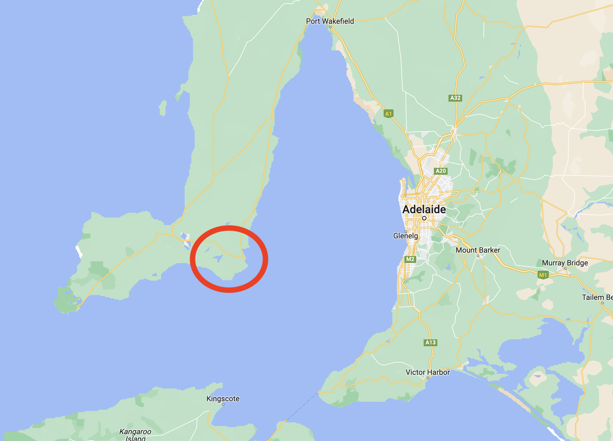
After breakfast, we headed to our first activation of the day, the Lower Yorke Peninsula Marine Park VKFF-1726.
Above:- Map of the Yorke Peninsula, showing the location of the Marine Park. Map c/o Google maps.
The park stretches from just south of Stansbury around the heel of the Yorke Peninsula to the Point Davenport Conservation Park. The park includes Troubridge Island Conservation Park and the surrounding shoals. It excludes an area around Klein Point and also Port Giles. The park covers an area of about 850 km2.
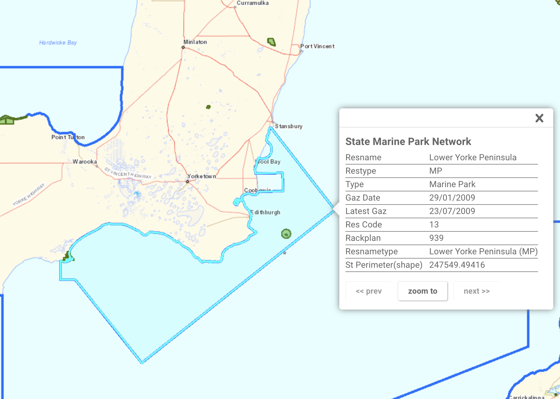
Above:- Map of the Lower Yorke Peninsula MP. Image c/o Location SA Map Viewer.
The Marine Park contains the only two estuaries where freshwater meets the open ocean on the Yorke Peninsula: Salt Creek and the nationally-listed wetland, Point Davenport. Both of these areas provide nursery areas for numerous fish species including King George Whiting and Yellow-eyed mullet.
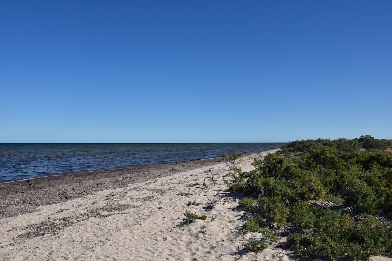
The Marine Park’s coastline consists of sandy beaches and sections of cliff, and rocky coast.
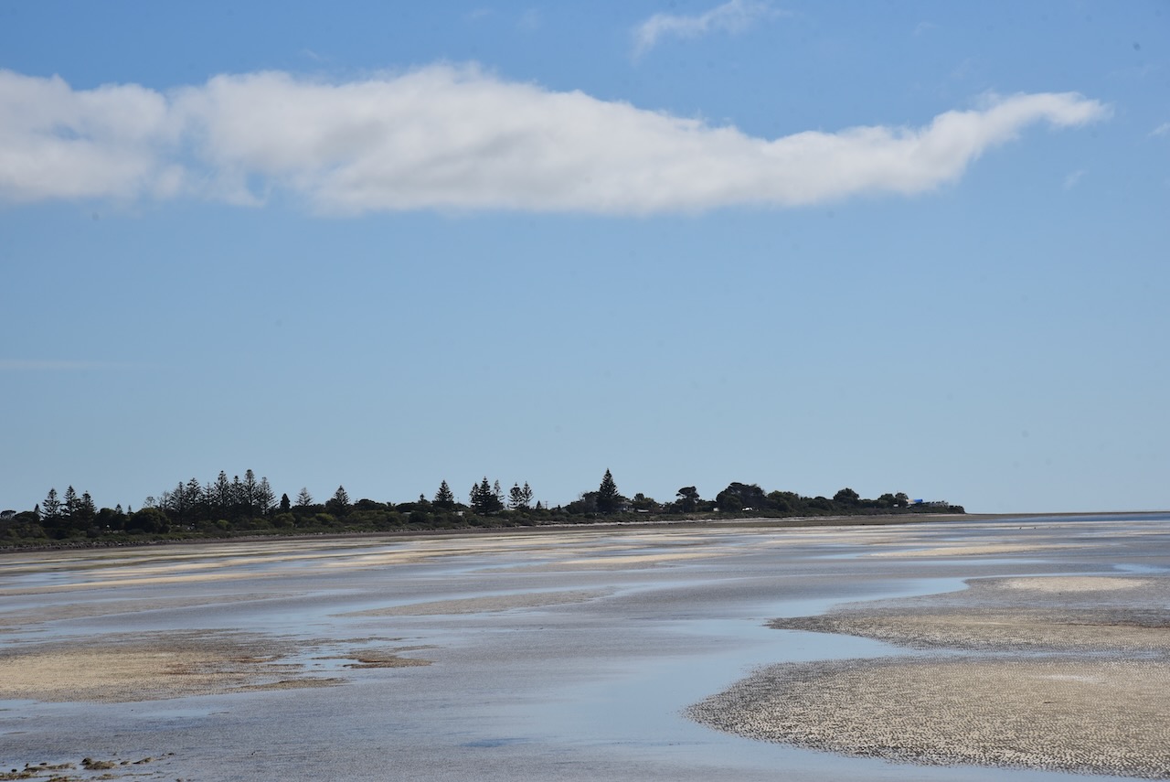
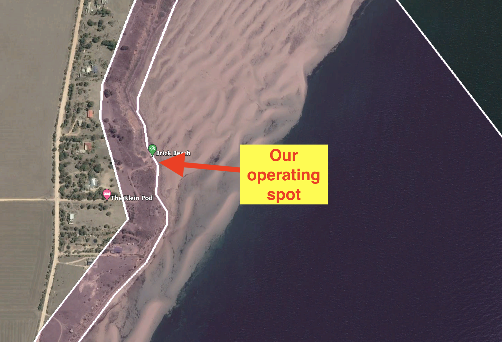
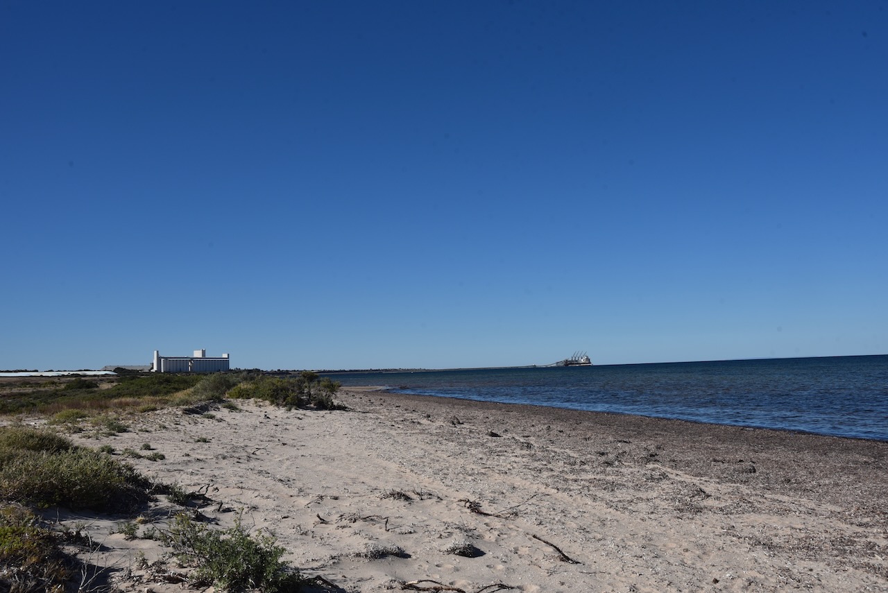
Marija and I drove to Brick Beach, off Klein Point Road. We operated from the 4WD for this activation, running the Icom IC-7000, 100 watts, and the Codan 930 antenna mounted on the rear of the 4WD.
After packing up we headed north to Port Vincent. Marija had been told not to miss the donoughts at the Port Vincent Cafe.
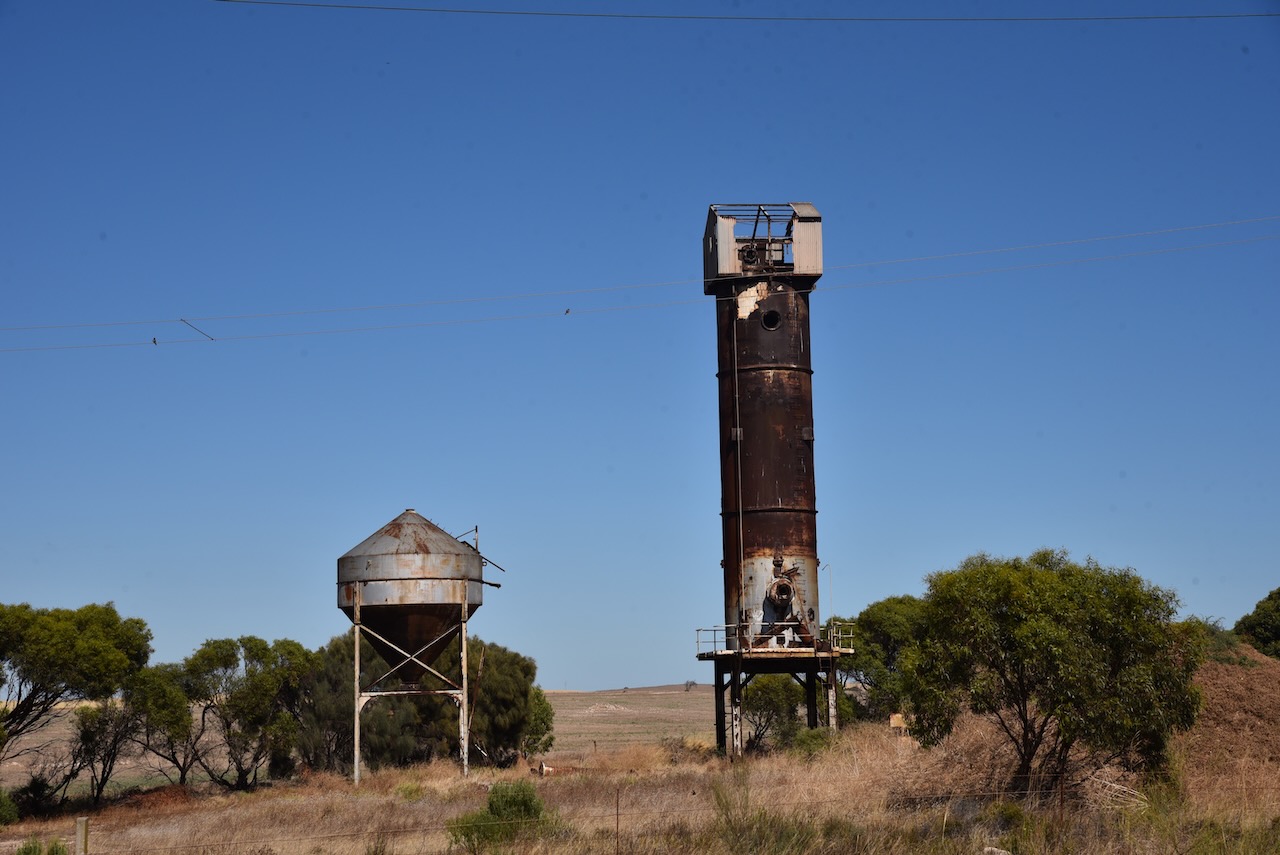
On the way, we stopped to have a look at the old Continuos shaft kiln on the side of the Yorke Highway. If you did not know what this was, you would just drive straight passed it. The kiln was lined with firebricks and commenced operations in 1963. The kiln was capable of burning lime to almost any quality.
Port Vincent is a beautiful little town and is very popular with holidaymakers.
Port Vincent takes its name from the ‘Port Vincent Special Survey’ of 1839. In 1839, the Adelaide Survey Association organized the surveying of two towns on the Yorke Peninsula: Port Vincent and Port Victoria. Unfortunately, neither survey resulted in any land being taken up. Numerous large sheep runs were subsequently established including Gum Flat Station operated by George Anstey and Thomas Giles, and Stephen Goldsworthy’s run which ran from Black Point to Port Vincent Bay.
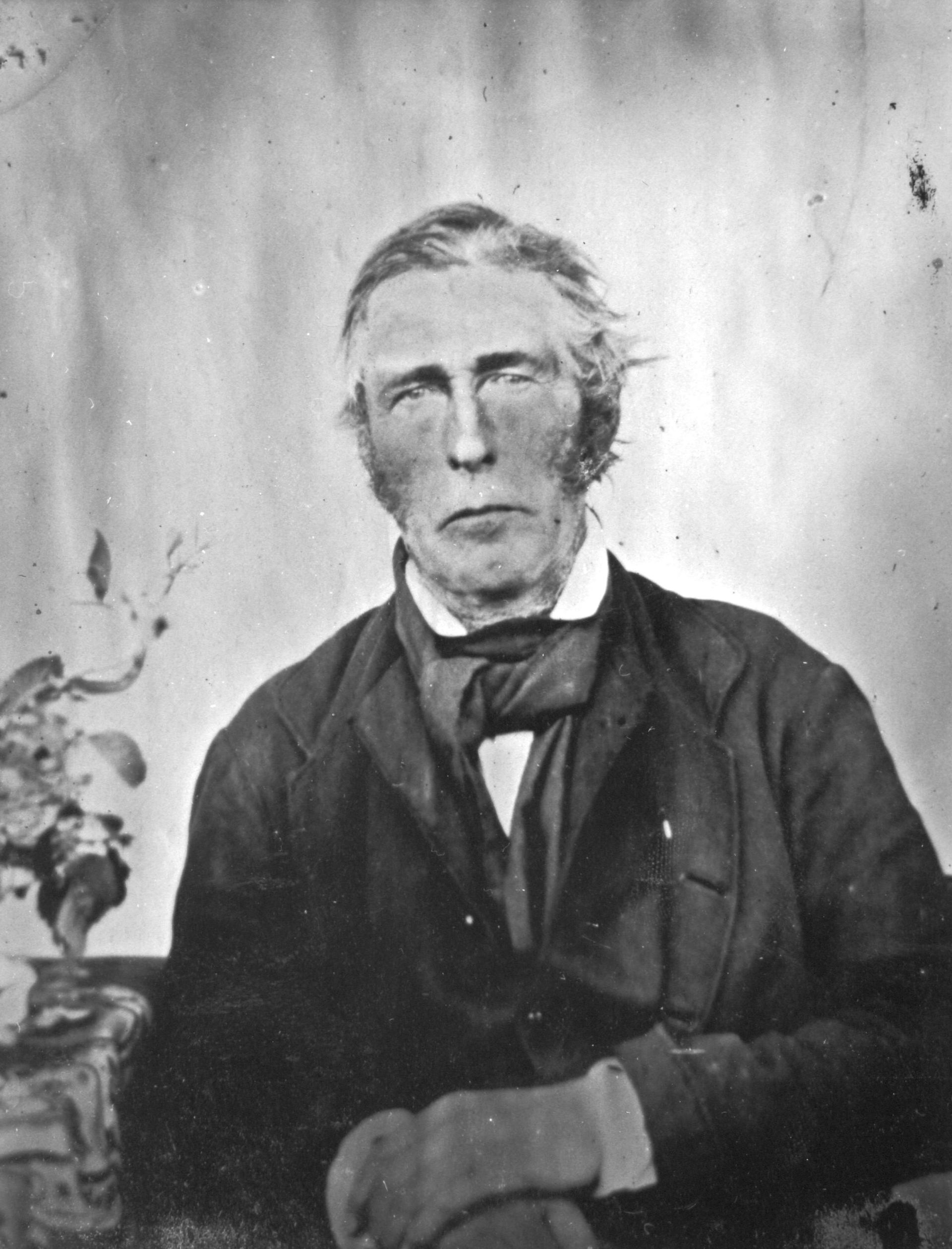
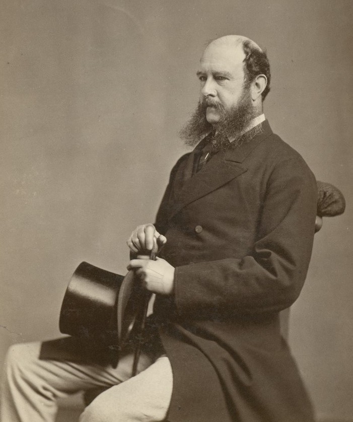
The point on which Port Vincent stands was originally known as Surveyors Point. The town was named by the South Australian Government Auctioneer Robert Cock (b. 1801 d. 1871).
Above:- Robert Cock. Image c/o Wikipedia.
It was a beautiful sunny and warm afternoon and there was lots of activity on the water, including sailing and kayaking.
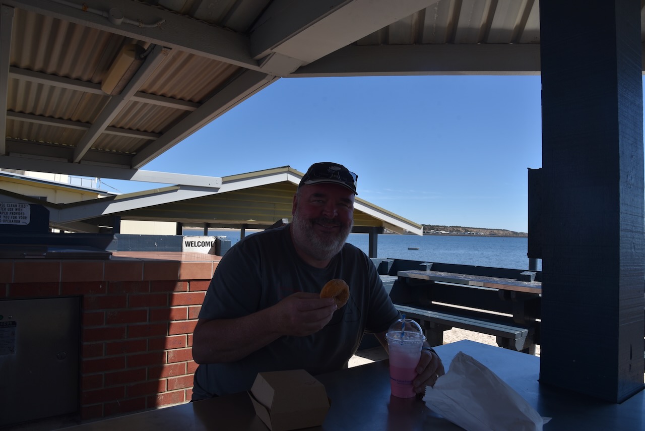
The Port Vincent Kiosk lived us to its reputation. I had a steak sandwich and some donoughts and a milkshake. It was all absolutely delicious.
We then headed out to the Port Vincent silo which is part of the Southern Yorke Peninsula Water Tower Mural Trail. The old water tower was painted by Camilo Delgardo & Jasmine Crisp. It took them about 300 litres of paint and was completed on the 17th day of May 2021. The mural includes sailing boats, snapper, and a fisherperson.
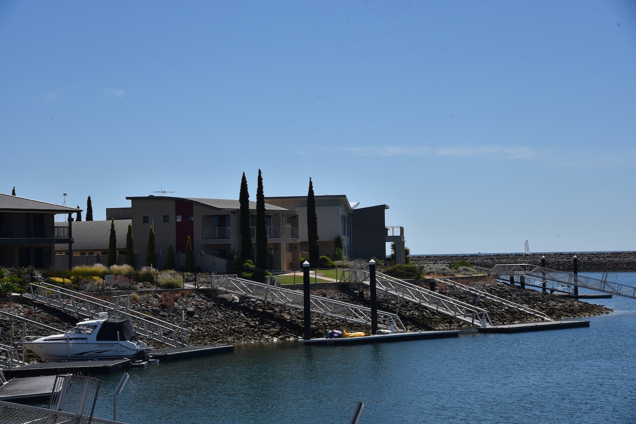
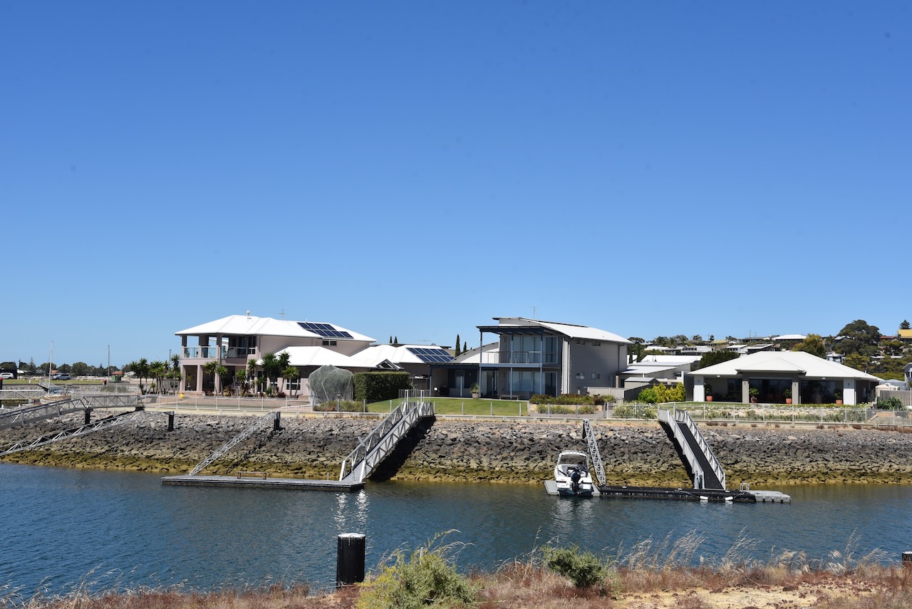
We then drove out to the Port Vincent Marina and new housing development to admire some of the very large houses.
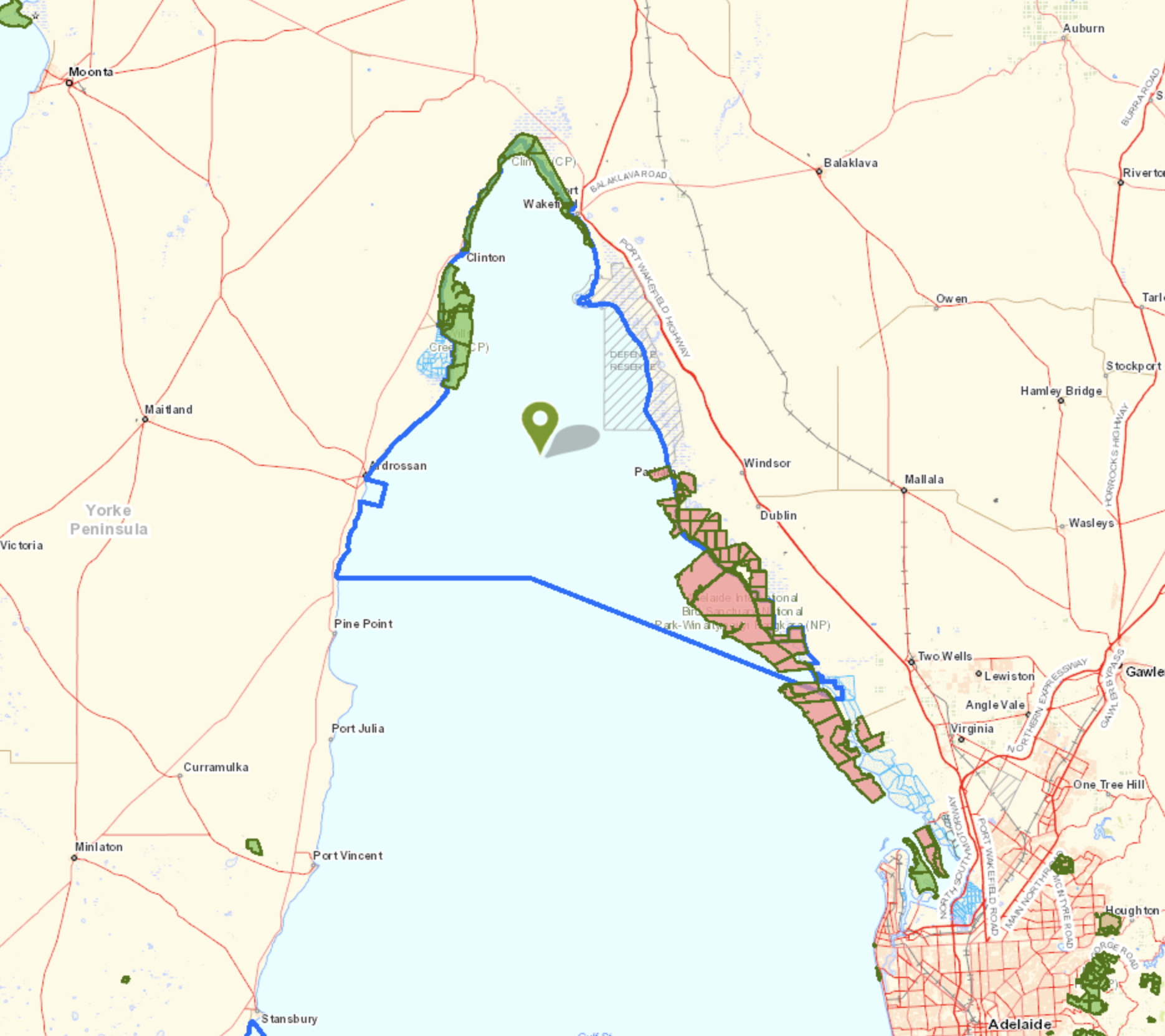
Marija and I drove a short distance from Ardrossan to our next park activation of the day (5th February 2023), the Upper Gulf St Vincent Marine Park VKFF-1755.
As the name suggests, the park encompasses the upper section of Gulf St Vincent. On the eastern side of the gulf, the park commences from near Middle Beach and then across to the south of Ardrossan.
Above:- Map showing the location of the Upper Gulf St Vincent Marine Park. Map c/o Location SA Map Viewer.
The Upper Gulf St Vincent Marine Park features wetlands that are of national importance. This includes the Light River DElta which is considered one of the most ecologically-intact mangrove and saltmarsh systems in South Australia. The park overlays Wills Creek Conservation Park and Clinton Conservation Park. The port of Ardrossan is excluded from the park.
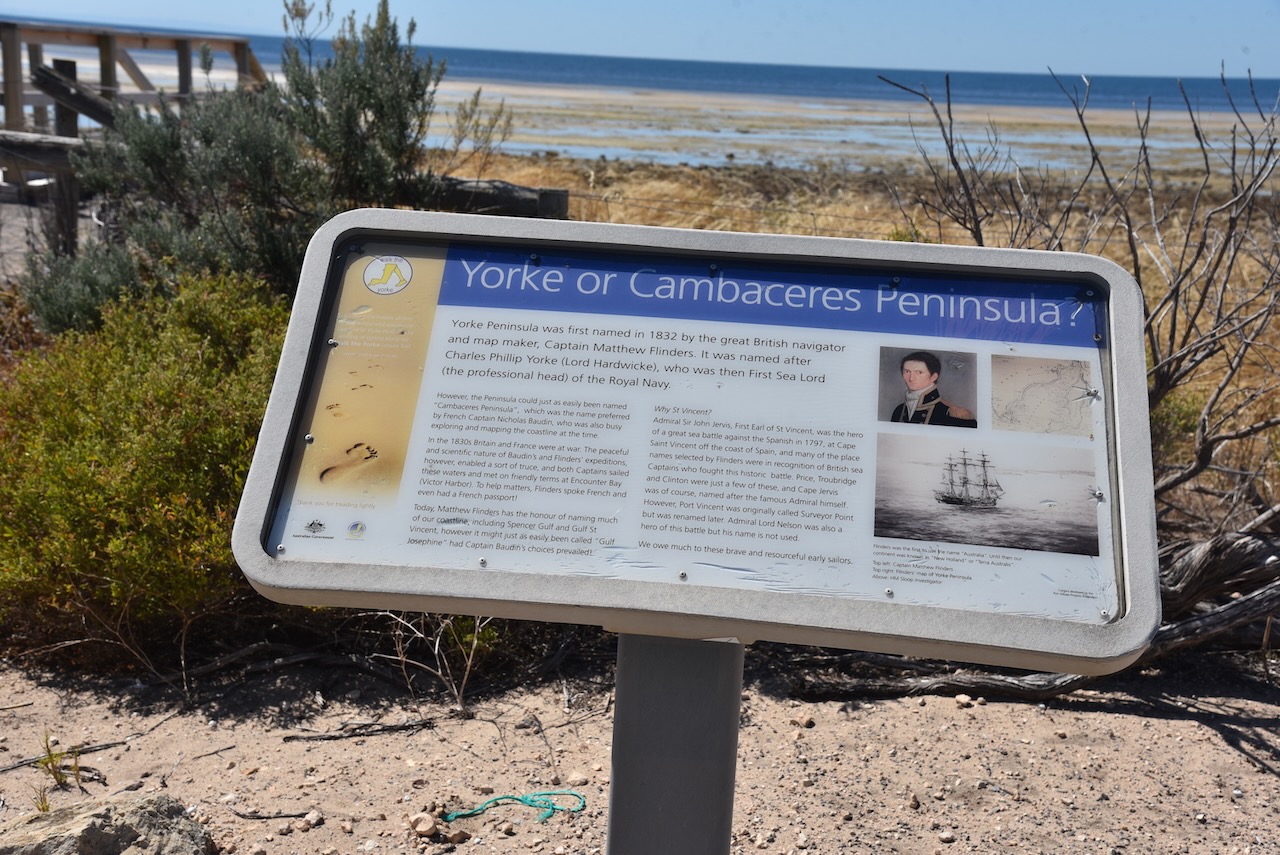
Gulf St Vincent was named Gulph of St Vincent by explorer Matthew Flinders on the 30th day of March 1802. The gulf was named in honour of Admiral John Jervis, 1st Earl of St Vincent who was victorious in a naval battle off Cape St Vincent in Portugal.
On the 8th day of April 1802, following his meeting with Matthew Flinders at Encounter Bay, French explorer Nicholas Baudin mapped the gulf and named it Golfe de la Mauvaise or Golfe de la Misanthrophie. In 1803 he renamed it Golphe Josephine in honour of Josephine Bonaparte.
Above:- John Jervis, 1st Earl of St Vincent. Image c/o Wikipedia.
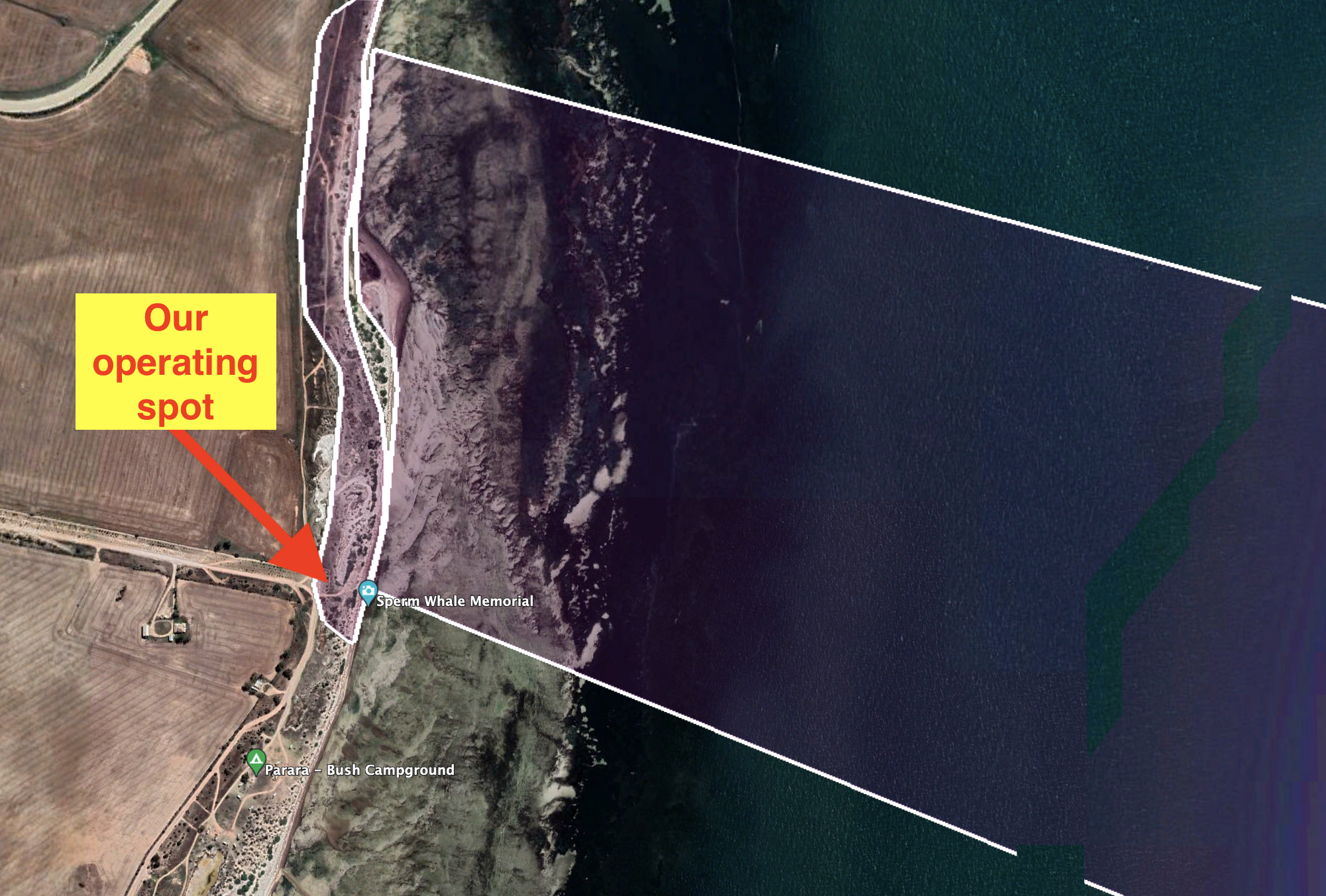
Marija and I set up at the end of Parara Road near the Sperm Whale Memorial. This is at the southernmost point of the park on the western side of the park.
Above:- Aerial view showing our operating spot at the end of Parara Road. Image c/o Google Earth.
We operated from the vehicle for this activation using the Icom IC-7000, 100 watts, and the Codan 930 self tuning antenna.
Marija worked the following stations on 40m SSB:-
VK5WU
VK3VIN
VK4FW
VK8MM
VK2YK
VK5HS
VK3GJG
VK2IO
VK3ZPF
VK3OAK
VK5FANA
I worked the following stations on 40m SSB:-
VK5WU
VK3VIN
VK4FW
VK8MM
VK2YK
VK5HS
VK3GJG
VK2IO
VK3ZPF
VK3OAK
VK5FANA
VK2MOE/m
VK3YAR
VK5MOS
VK3MTT
VK1CHW
VK3CBP
VK2NP
VK7PSJ
VK5YX
VK2EXA
VK2RO
VK3BBB
VK2CCP
VK5NM
VK2LEE
I worked the following stations on 20m SSB:-
VK2IJS
VK3OAK
VK2NP
VK4TJ
VK3ZPF
VK2IO
VK4SMA
VK6NU
VK3JW
VK3SQ
VK3UH
VK3GJG
VK6NTE
ZL3MR
I worked the following stations on 15m SSB:-
VK2NP
VK4SMA
VK1IO
VK1CHW
VK4FDJL
VK4WAB
VK4TJ
JH1OLB
VK4KTW
VK5HS
I worked the following stations on 10m SSB:-
VK4FDJL
VK4WAB
VK4KTW
VK4SMA
VK4TJ
VK4HTE
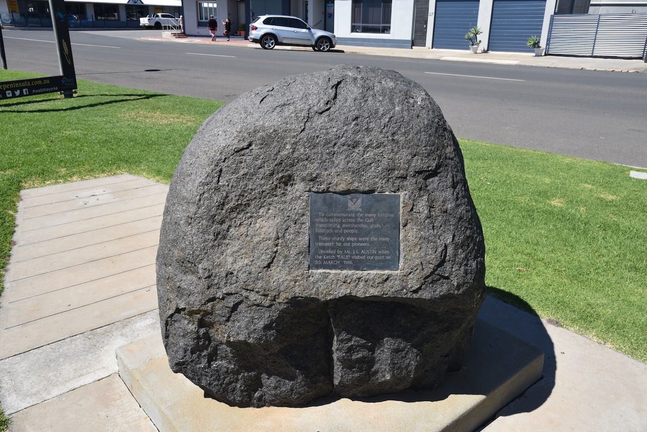
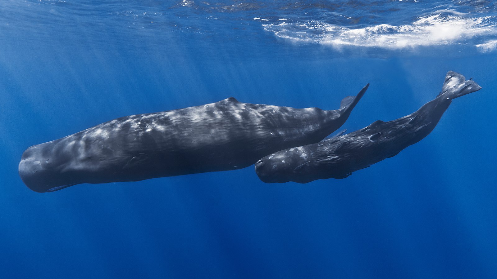
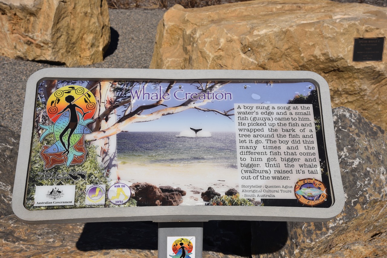
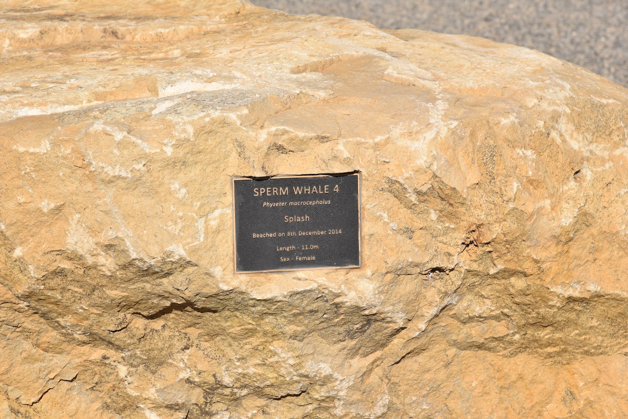
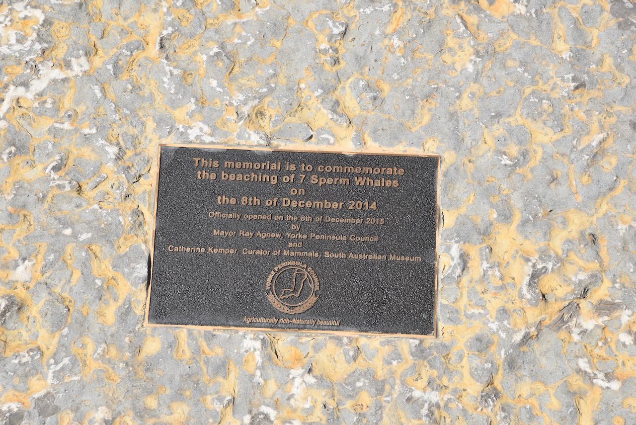
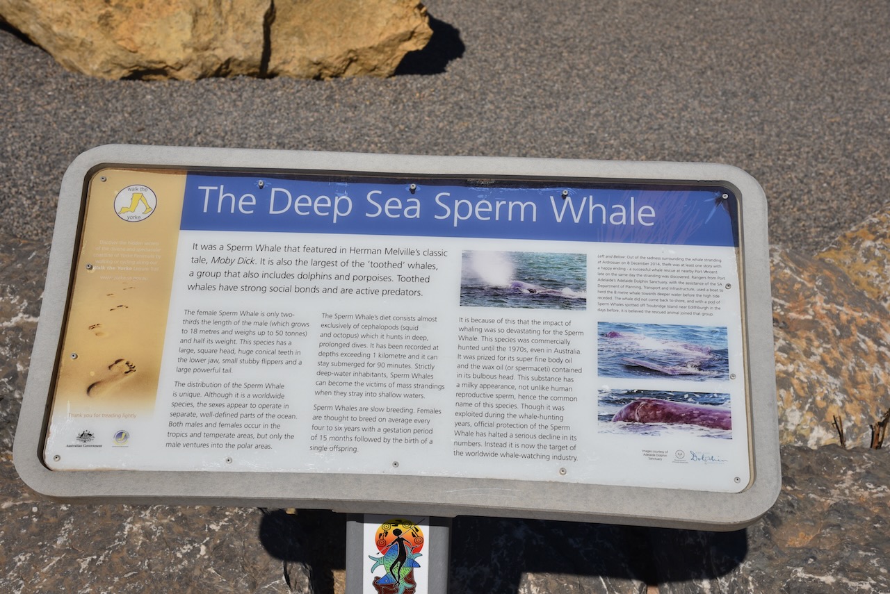
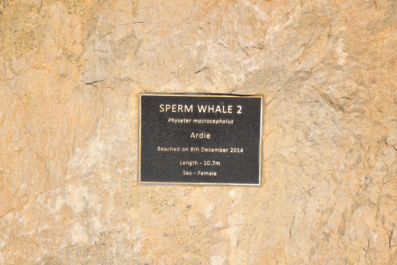
After packing up we had a look at the Sperm whale Memorial which commemorates the beaching of seven sperm whales on the 8th day of December 2014.
The Sperm whale is the largest of the toothed whales and is the largest toothed predator. Its conservation significance is listed as vulnerable. Mature males average 16 metres (52 ft) in length, with the head representing up to one-third of the animal’s length.
The memorial consists of a series of dolomite boulders which were donated by Arrium Mining, The boulders are placed in the pattern in which the whales were stranded.
The remains of the old Parara school can be seen opposite the whale memorial.
Also located nearby is the old Parara homestead which was one of the numerous properties owned by the pioneering Bowman brothers.
Marija and I then continued north on the Yorke Highway and soon reached the little town of Pine Point which overlooks the bay of Port Alfred.
The name of the town comes from the aboriginal word narnuworti meaning ‘pine point’. Resin from the trees called narnujako was used by the local aboriginal people for shafting their stone knives.
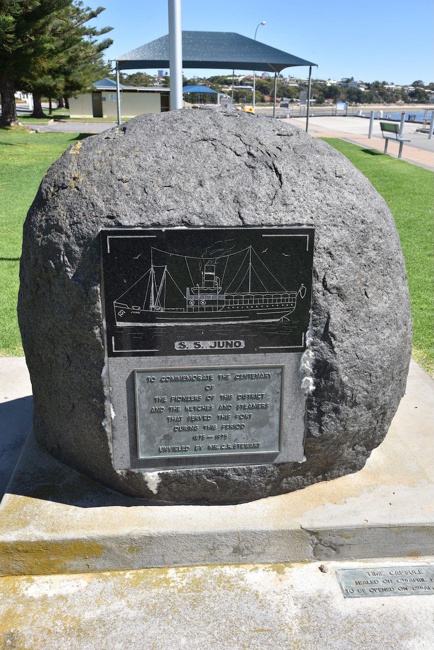
Pine Point was once one of the numerous small ports on the Yorke Peninsula where sketches would be loaded directly from drays. A small wharf was subsequently built at Pine Point and this enabled the sketches to remain in deeper water. In 1927 a chute was installed which assisted in the loading of the sketches. In October 1967 the ketch Yongala, conveyed the last cargo of grain from Pine Point to Port Adelaide. The bulk grain facilities at Ardrossan, Wallaroo and Port Giles had replaced the use of the ketches.
Above:- a ketch at Pine Point waiting to be loaded with grain, c. 1927. Image c/o State Library SA.
We continued on to Stansbury where we had booked into the Stansbury Caravan Park in a self-contained cabin. Below are some views of the cabin and the ocean which was directly behind our cabin.
After booking in and unpacking, Marija and I headed to the local hotel where we enjoyed a very nice meal.
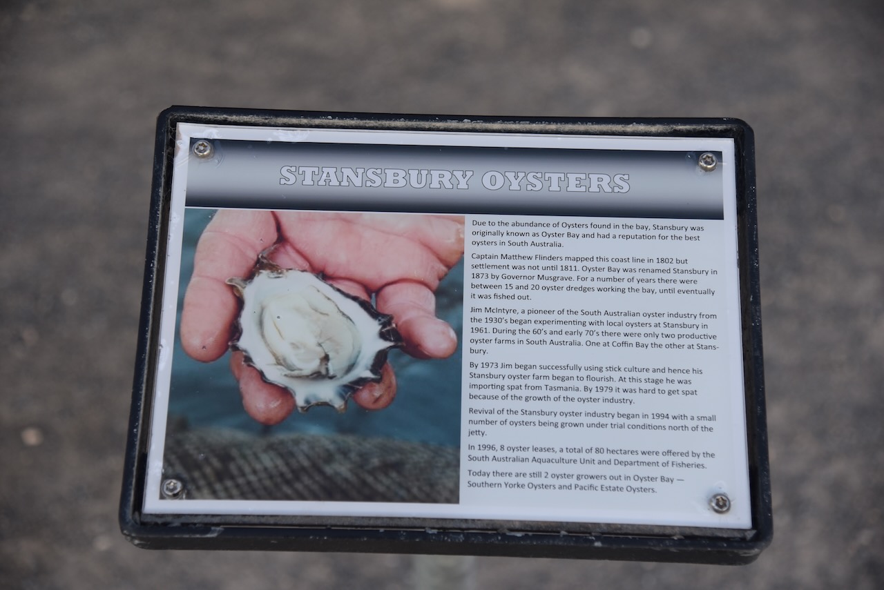
The area which is now known as Stansbury was originally known as Oyster Bay from around 1846. The town was proclaimed on the 31st day of July 1873 and was named Stansbury by South Australian Governor Anthony Musgrave (b. 1828. d. 1888) in honour of a friend. In October 1877 the foundation stone for the Stansbury Public School was laid.
Above:- Governor Anthony Musgrave. Image c/o Wikipedia.
Following dinner, we decided to have a look around Stansbury as it was such a beautiful warm evening.
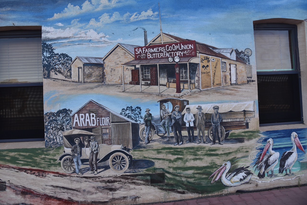
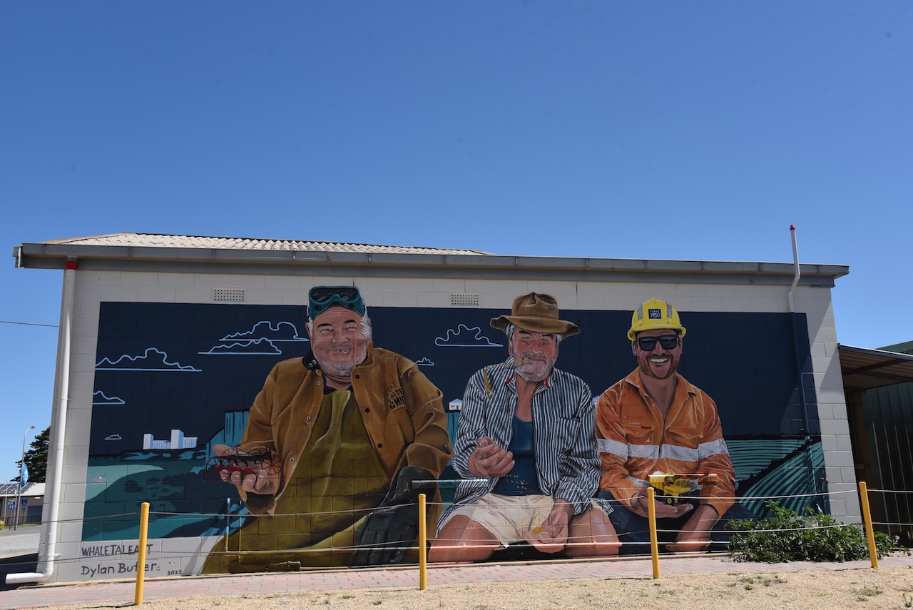
On the corner of St Vincent Street and Anzac Parade (the Blue Lime Cafe), there is a brilliant mural painted on the building. It is the work of local artist Anne Harris. It depicts the historical use of building and Stansbury life.
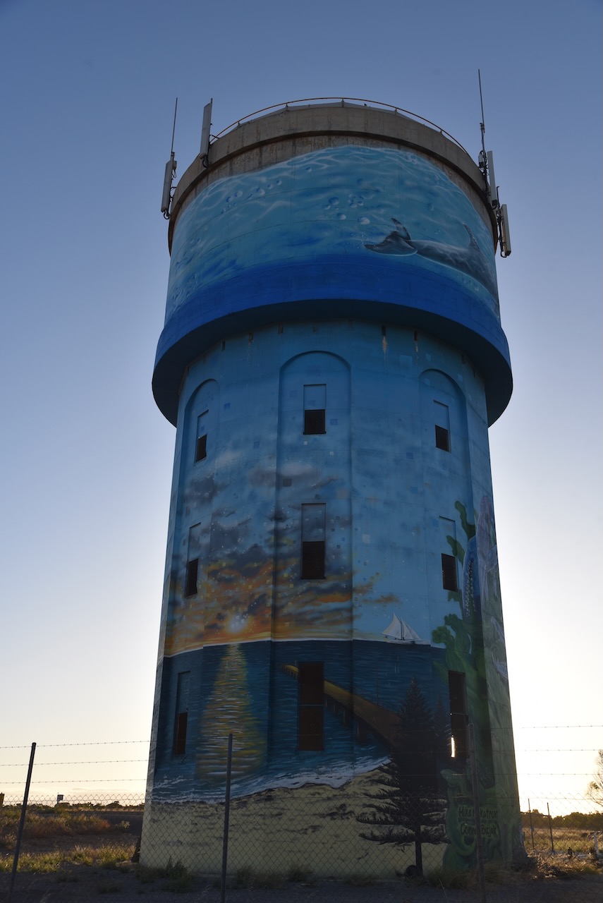
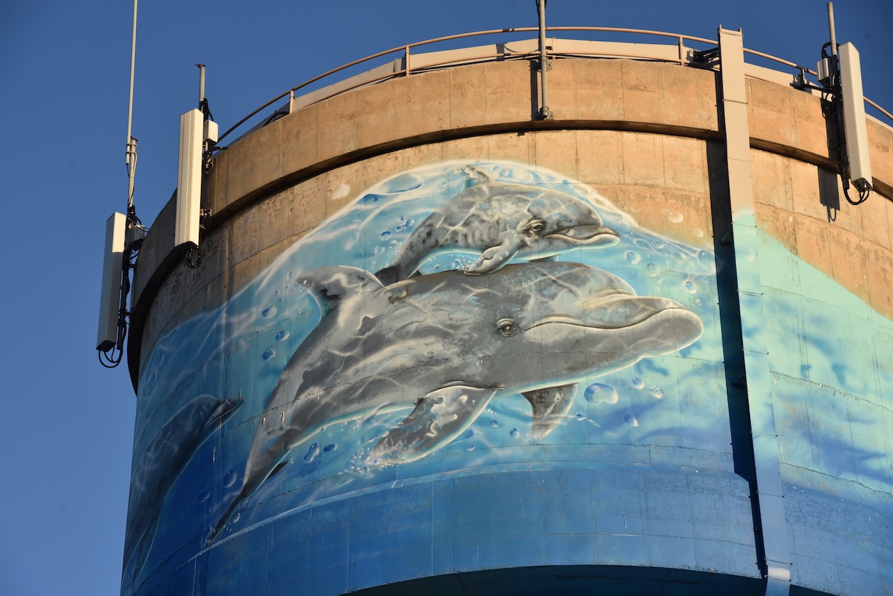
We then drove out to the Stansbury water tower mural. In 2020 the Yorke Peninsula Council in partnership with various Progress Associations gained funding that allowed the Southern Yorke Peninsula Water Tower/Tank Mural Trail. The Stansbury water tower was completed on the 29th day of May 2021. It was the work of Mike Makatron and Conrad Bizjak and took 13 days to complete. It consists of a mixture of spray guns and hand painting. It features notable fauna and the natural landscape of Stansbury, including Blue Swimmer crabs, Pelican, Dolphins, Norfolk Island Trees, jetty, coastline, and Ribbon Seaweed and Oysters.
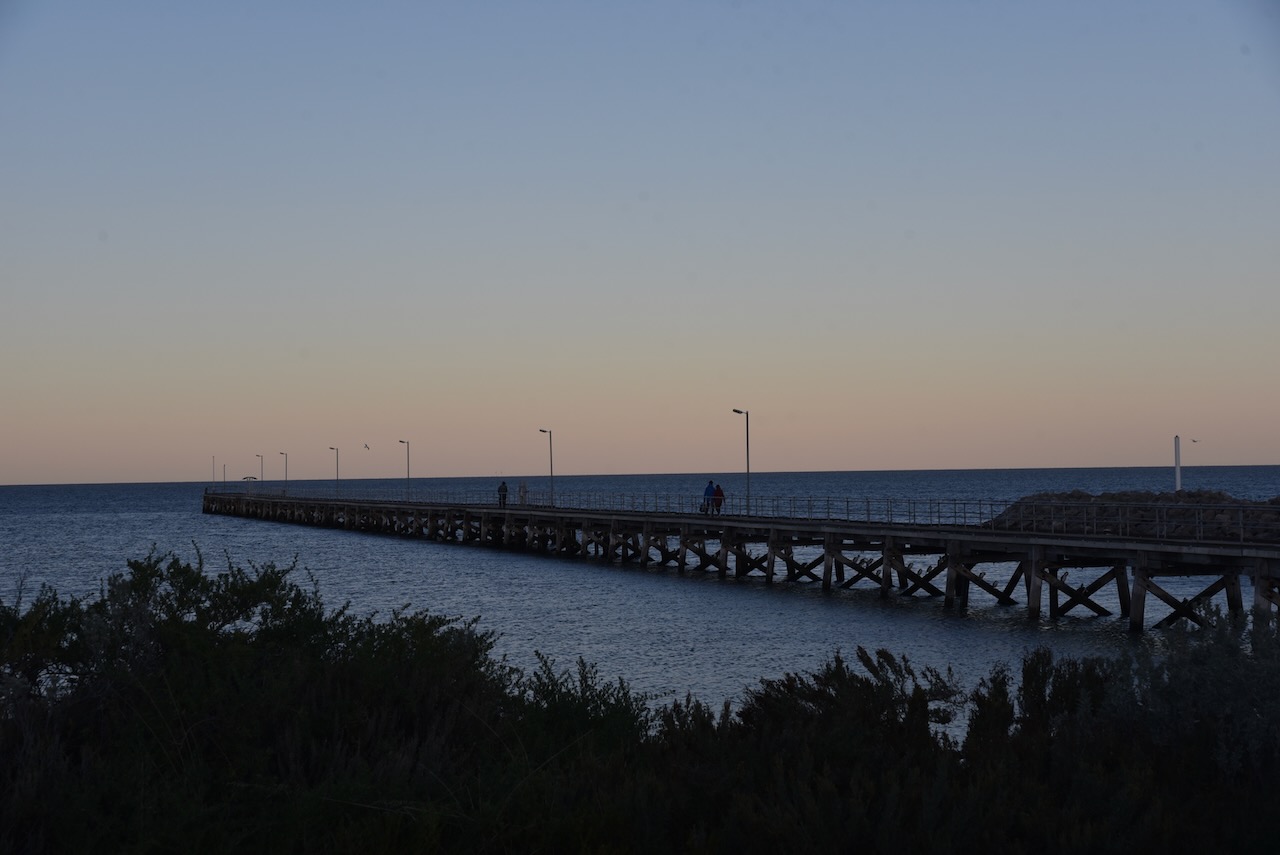
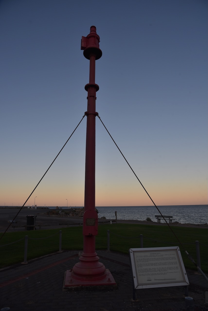
We then had a look at the Stansbury jetty and harbour.
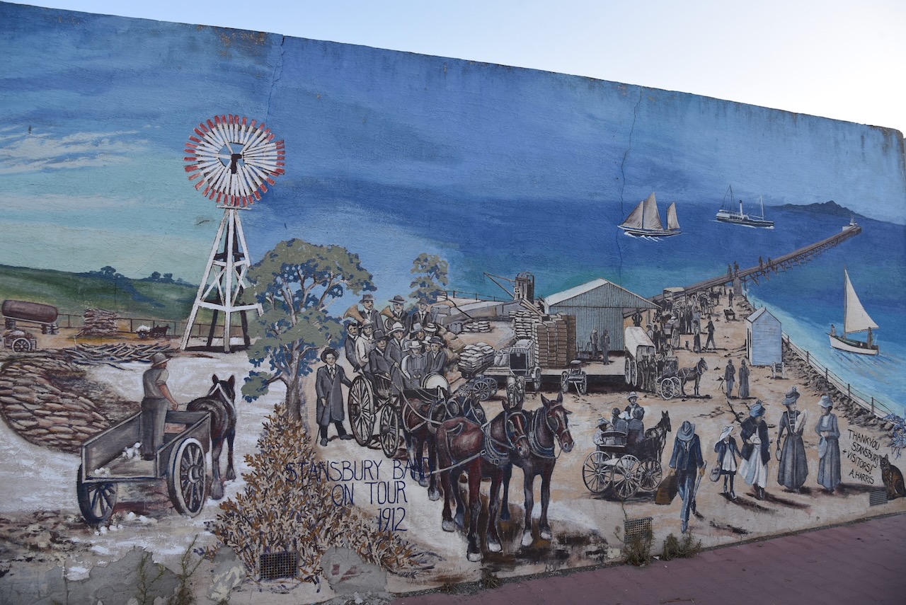
And on our way back to the caravan park we had a look at some of the historic buildings in Stansbury and the murals on the foreshore. In 2014 the Stansbury Progress Association commissioned Anne Harris, a local artist, to paint three murals on the foreshore changerooms.
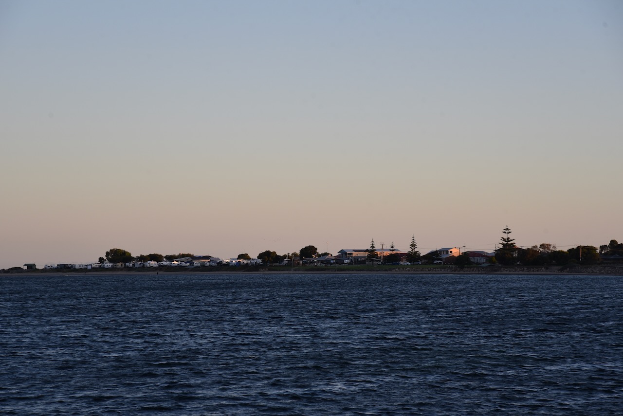
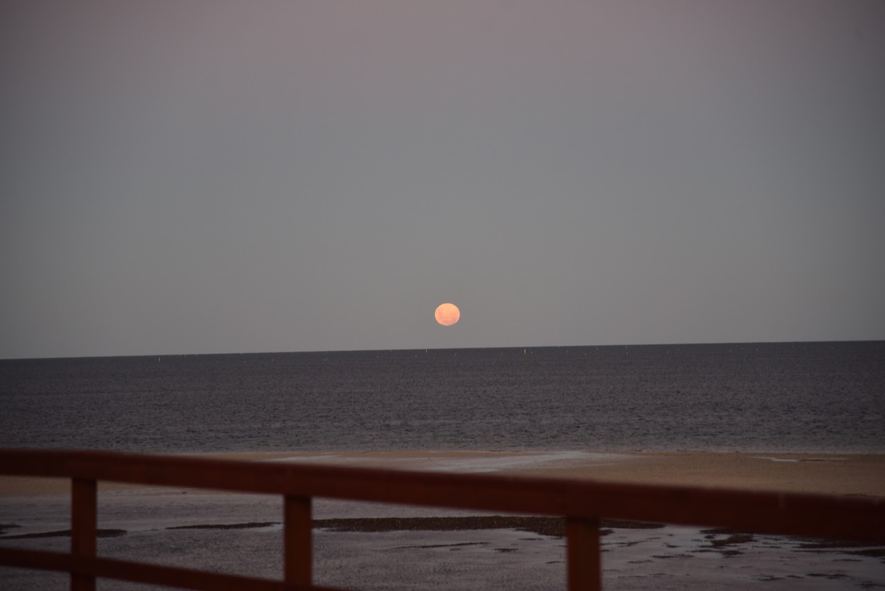
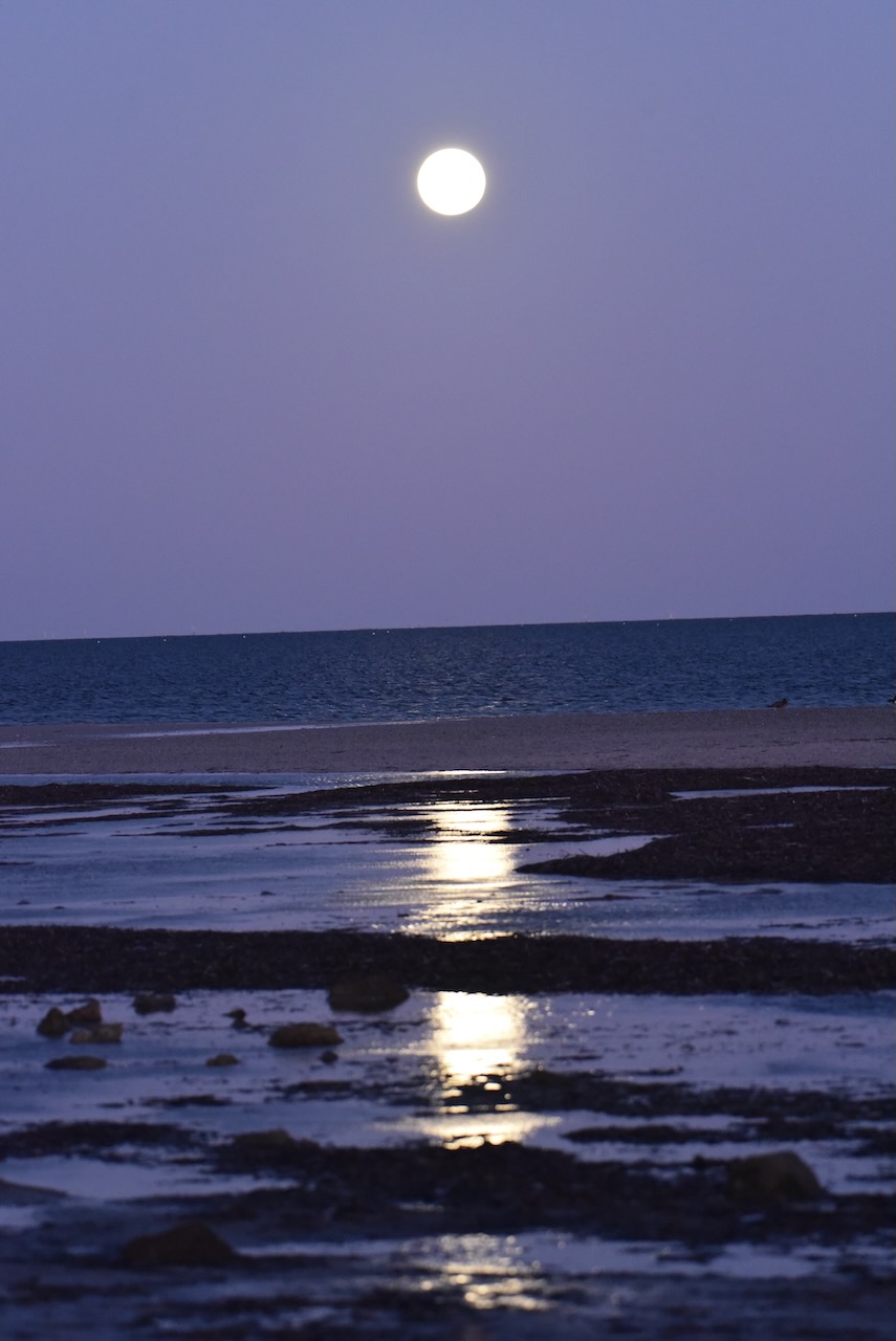
We returned to our cabin where we enjoyed a magnificent sunset and the moon glistening across the water.
After leaving Price, Marija and I drove south along the Yorke Highway for about 21 km and we soon reached the town of Ardrossan, where we planned on activating the Ardrossan silo VK-ARN5 for the Silos On The Air (SiOTA) program..
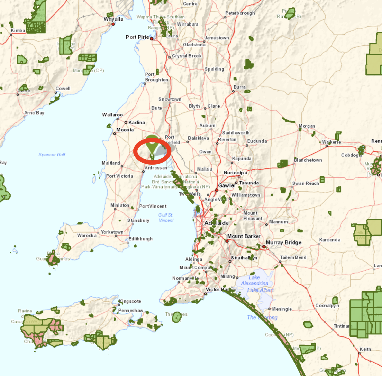
Ardrossan is about 153 km (by road) from the city of Adelaide, and is located on the eastern coast of the Yorke Peninsula.
Above:- Map showing the location of Ardrossan. Map c/o Google maps.
Prior to European occupation, the area around Ardrossan was occupied by the Narungaa aboriginal people. The Narungaa people comprised four distinct clans on the Gurranda (the Yorke Peninsula. They being the Kurnara in the north, Dilpa in the south, Wari in the west, and Windarra in the east.
The town of Ardrossan was proclaimed on the 13th day of November 1873. It was named by South Australian Governor Sir James Fergusson (b. 1832. d. 1907) in honour of a seaport in Ayrshire, Scotland. Ardrossan is derived from the Celtic words ardross – ‘high’ and rosan – ‘cape’. The town was chosen due to its potential for shipping infrastructure which allowed wheat farmers to ship their produce across Gulf St Vincent to Port Adelaide.
Above:- Governor Sir James Fergusson. Image c/o Wikipedia.
The area was originally known as ‘Clay Gully’ or ‘Parara’. Parara was the name of a property taken up in 1852 by William Sharples. Parara was a Narungaa aboriginal word meaning ‘middle’. The Parara homestead was situated about 3 km south of Ardrossan.
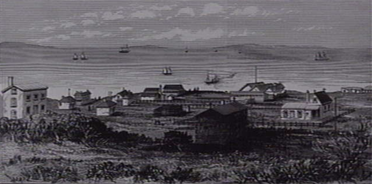
On the 19th day of June 1873, the Hundred of Cunningham was proclaimed, and surveying of the land commenced. By 1878 Ardrossan township had six houses, a post office, a flour mill, a Methodist church, a hotel, and a school which had 53 pupils.
Above:- Ardrossan, c. 1879. Image c/o State Library of Victoria.
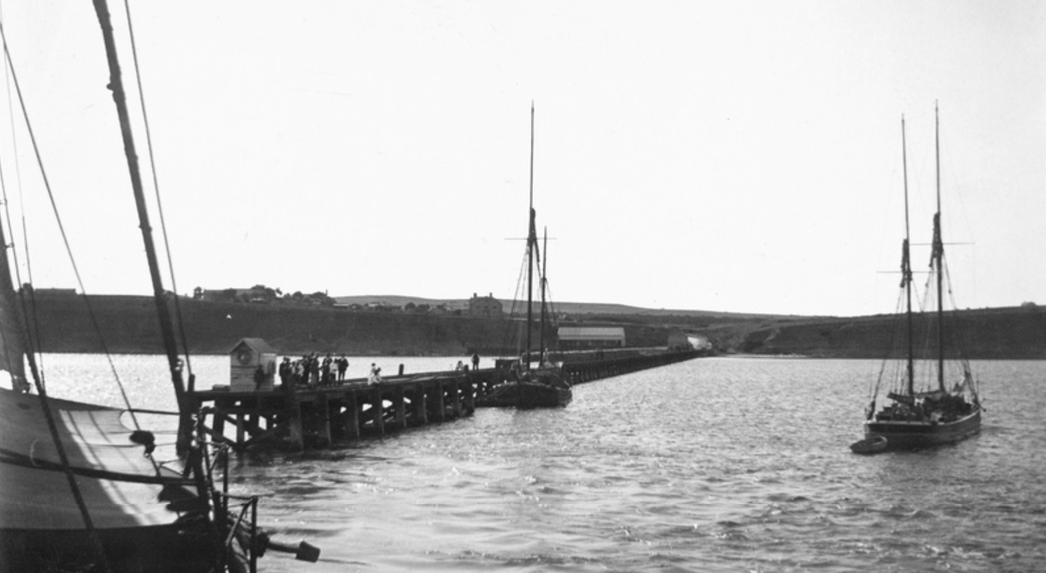
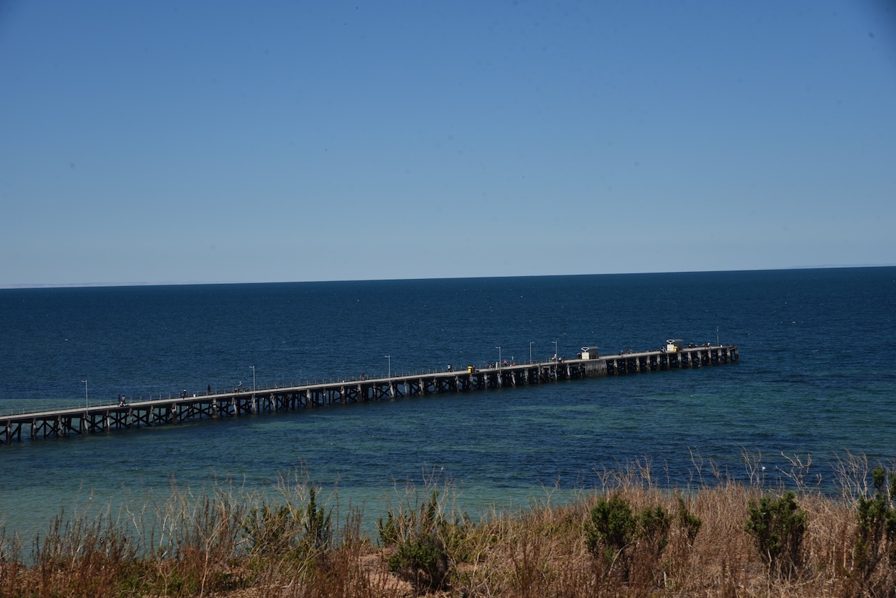
In 1874 the residents of Ardrossan petitioned the South Australian government for a jetty. The jetty was completed in 1877, and was subsequently extended to better accommodate the larger steamships and windjammers used to export grain overseas.
Above:- the Ardrossan jetty, c. 1903. Image c/o State Library SA.
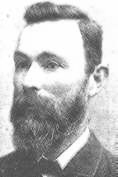
In 1880 at Ardrossan, Richard Bowyer Smith (b. 1837. d. 1919) and Clarence Herbert Smith (b. 155. d. 1901) invented the stump jump plough.
Above:- Clarence Herbert Smith. Image c/o Wikipedia.
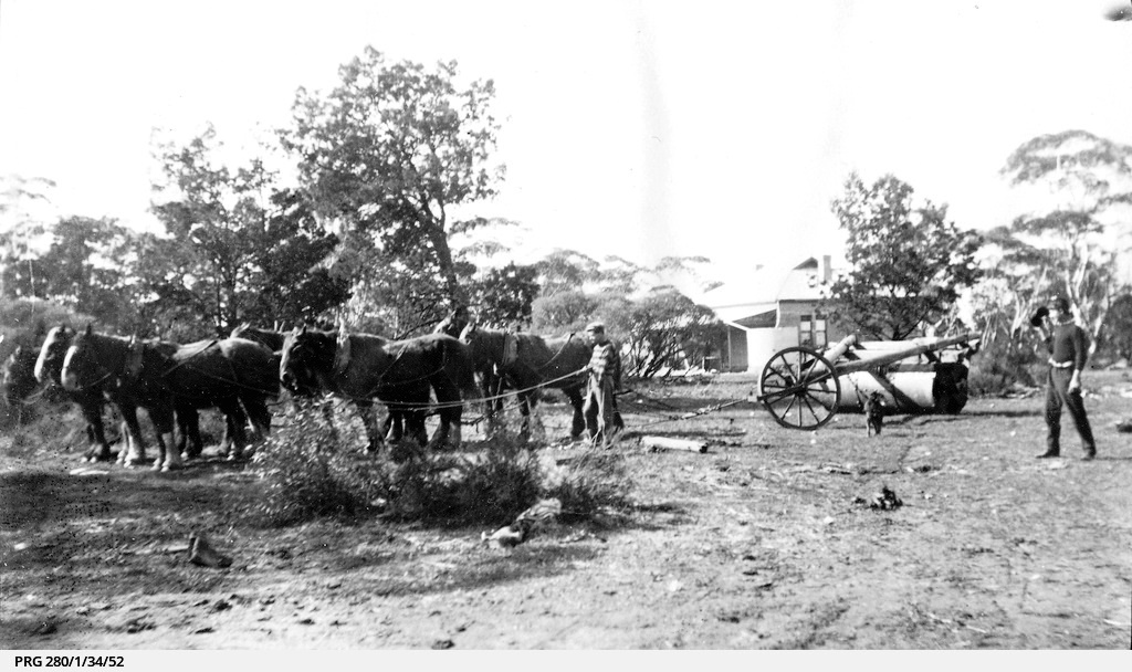
This special plough solved the particular problem of preparing mallee lands for cultivation. At one time about fourteen ploughs were manufactured each week.
Above:- A stump jump plough in use, c. 1922. Image c/o State Library SA.
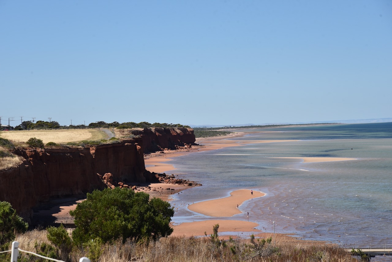
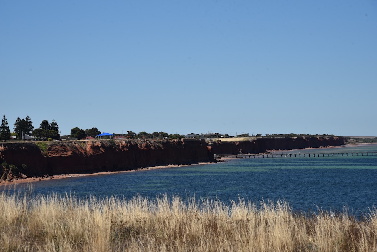
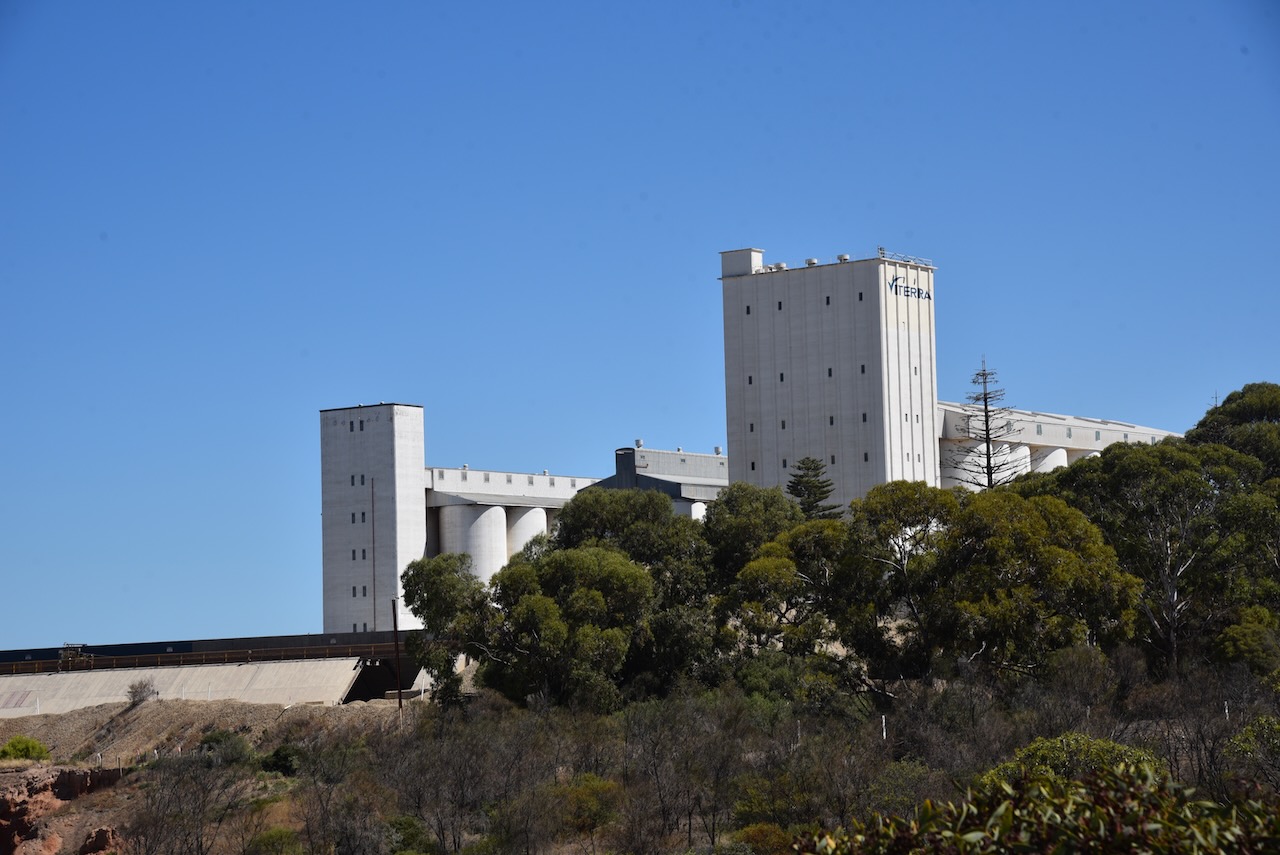
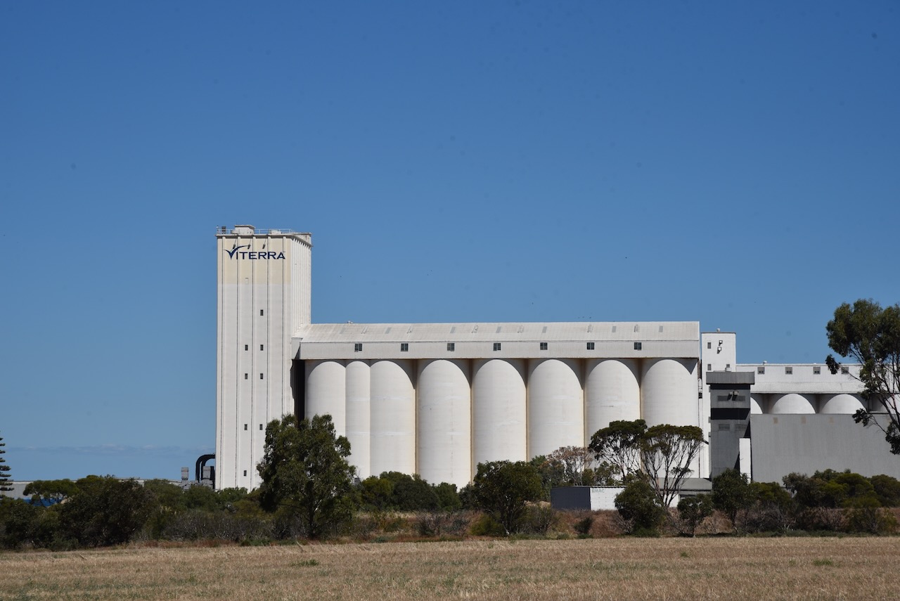
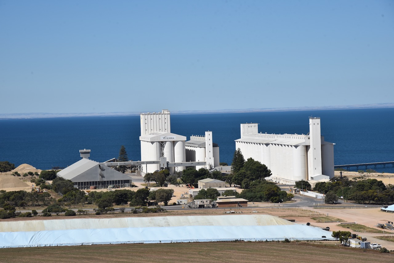
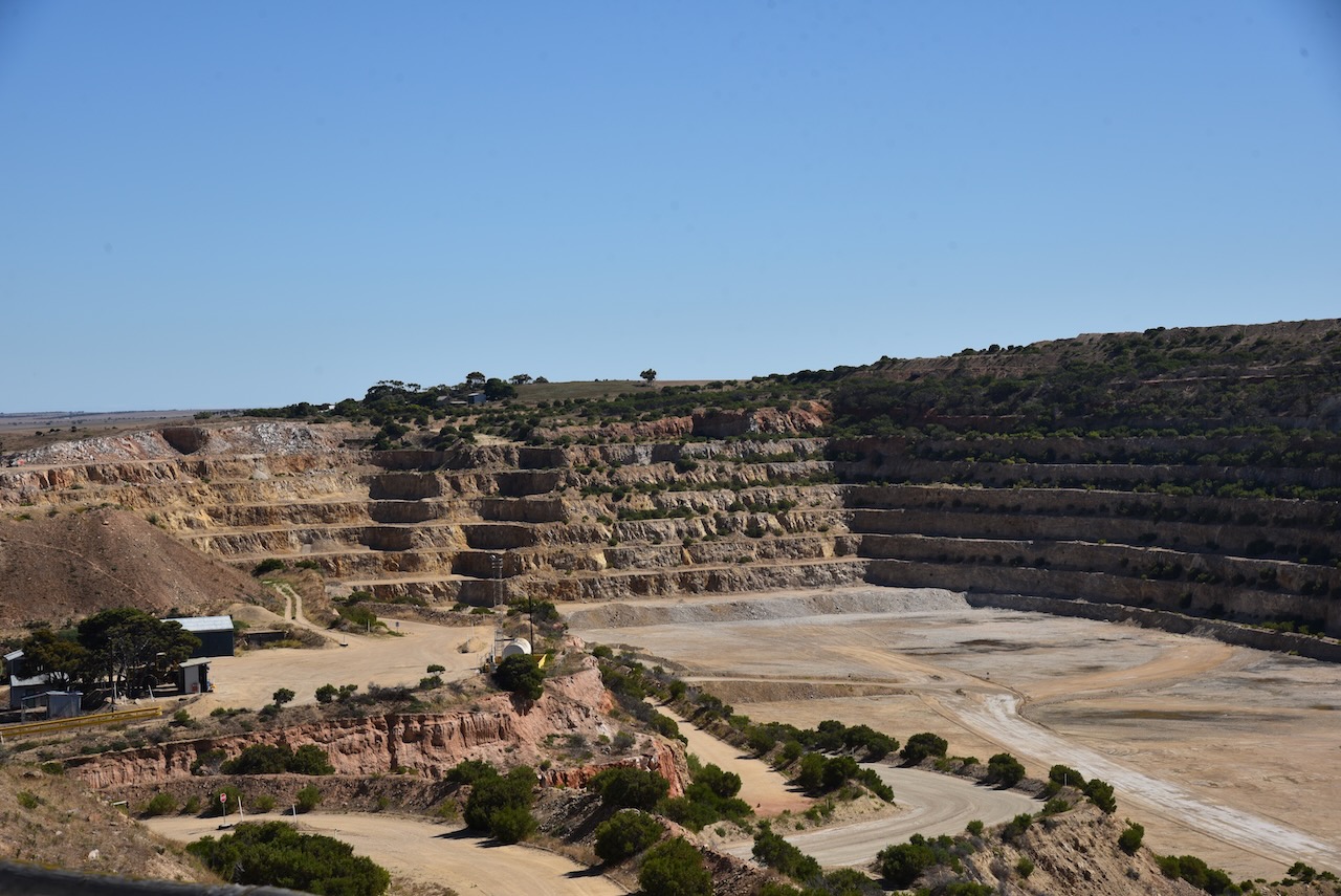
Ardrossan has a population of about 1,269 people and is a popular destination for holidaymakers. Ardrossan is well known for its coastal cliffs of red clay and its deepwater shipping port.
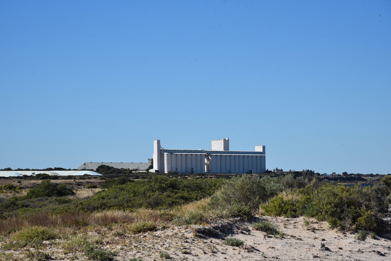
At the top of First Street (Ardrossan’s main street), there is a small park and playground. From here you can view the Ardrossan silos and get your photo taken at the ‘Hell from Arrdrossan’ sign.
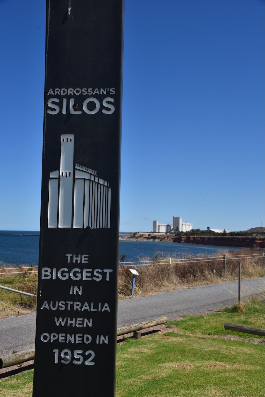
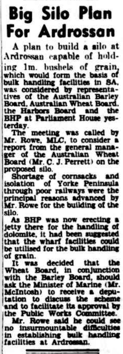
In the 1950s a large open-cut fine-grade dolomite mine was opened by Broken Hill Proprietary Ltd (BHP) at Ardrossan for use at its Whyalla steelworks and Port Kembla in New South Wales. BHP applied to the South Australian State Government for the construction of a crushing plant, hetty, and conveyor belt facility at Ardrossan. The SA Government gave permission on the proviso that that conveyor and jetty also be made available for the shipment of wheat and barley from the Yorke Peninsula region and salt from the salt mines at Price.
Above:- Article from The Advertiser, Wed 28 Jun 1950. Image c/o Trove.
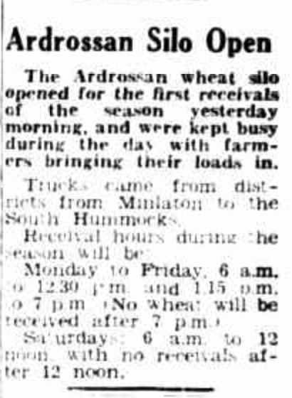
Construction commenced and this included grain silos and bulk handling facilities. The new jetty was constructed several kilometres south of the old jetty. The first shipment using these facilities was on 21 January 1953. The bulk handling facilities at Ardrossan were the first in South Australia and are now the third largest in South Australia. When the Ardrossan silos were first opened in 1952, they were the largest silos in Australia.
Above:- Article from The Pioneer, Yorketown, Fri 4 Dec 1953. Image c/o Trove.
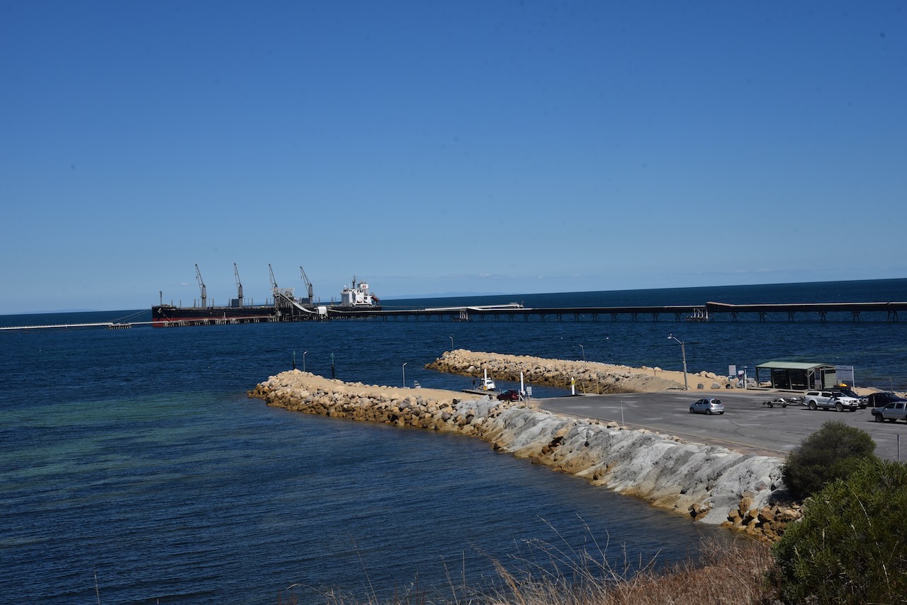
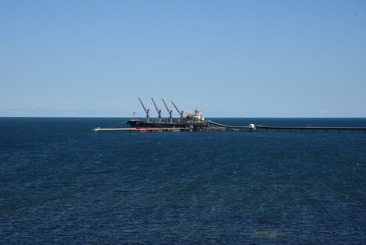
The jetty adjacent to the silos currently services ships loading dolomite, grain and salt from the salt pans at Price. The jetty is 931 metres long with a ‘T’ head. The grain elevator tower is 74 metres and is the largest in the state. The conveyor belt can load 2,400 tonnes of dolomite, 900 tonnes of grain or 750 tonnes of salt per hour.
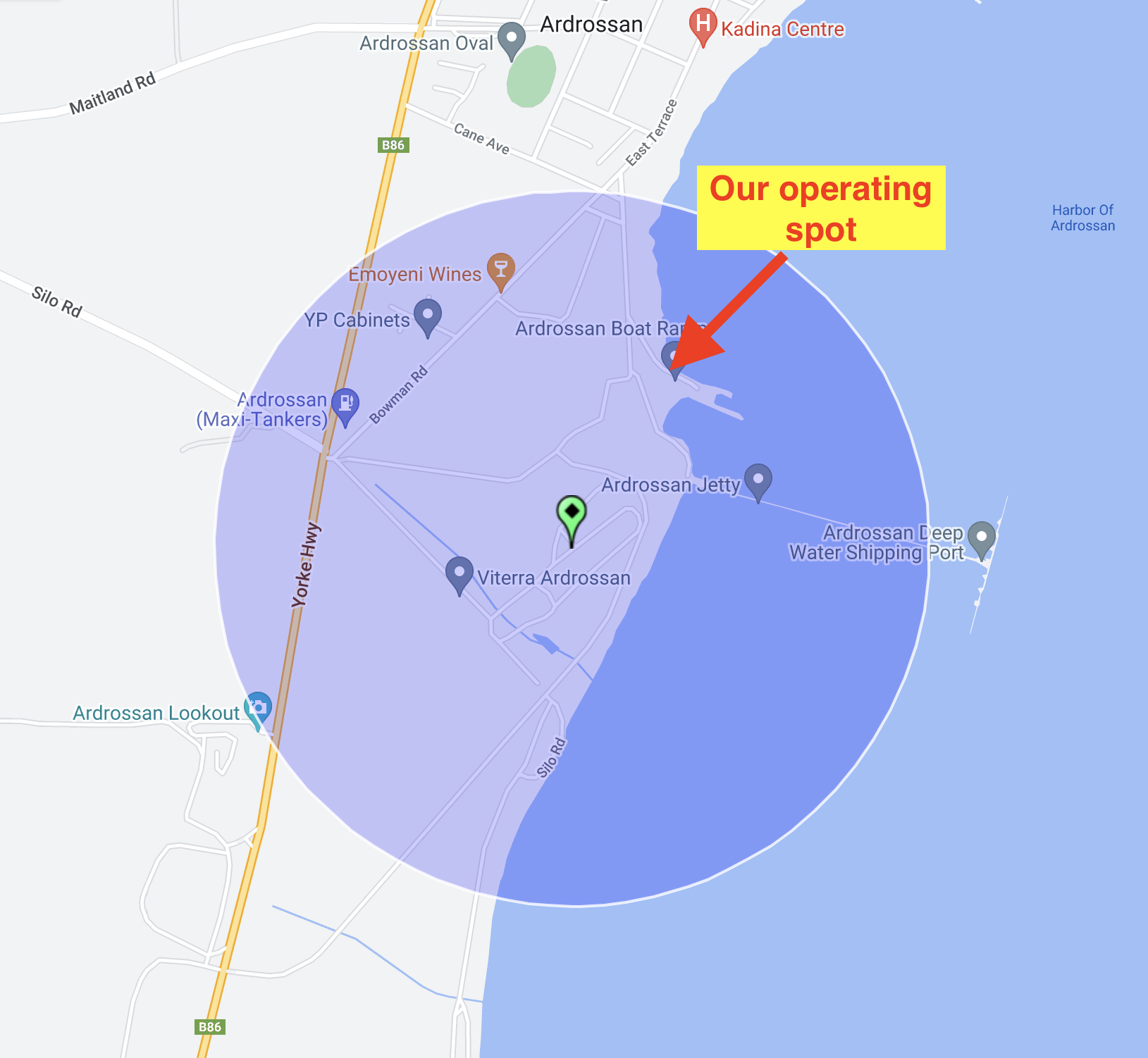
Marija and I operated from near the Ardrossan boat ramp within the 1km activation zone. We operated from the vehicle, using the Icom IC-7000,100 watts, and the Codan 9350 self tuning antenna.
Above:- The activation zone at the Ardrossan silo, showing our operating spot. Image c/o SiOTA website.
Marija and I made a total of 36 contacts on 40m SSB and 20m SSB.
Marija worked the following stations on 40m SSB:-
VK1AO
VK2MET
VK3PF/m
VK5HS
VK5FANA
VK3TUN/p (SOTA VK3/ VC-018)
Marija worked the following stations on 20m SSB:-
VK2NP
VK2IO
VK5HS
VK4SYD
VK5MRD
VK7XX
VK2YES
VK6NTE
VK4SMA
VK2EG/p
VK2IJS
VK3OAK
I worked the following stations on 40m SSB:-
VK1AO
VK2MET
VK3PF/m
VK5HS
VK5FANA
VK5DW
VK3OHM
VK5GY
VK3GJG
VK3TUN/p (SOTA VK3/ VC-018)
VK5TN
VK3OAK
VK2VH
VK4AAC
VK2YK
VK5NM
VK5KVA
I worked the following station on 20m SSB:-
VK5HS
At the conclusion of the silo activation, we drove up to the Ardrossan lookout where we enjoyed some brilliant views of the silo, the town of Ardrossan, and the coastline. There are also some good views of the mine.
After leaving Clinton Conservation Park, Marija drove a short distance down the Yorke Highway to our next park for the day (Sunday 5th February 2023), the Wills Creek Conservation Park VKFF-0819.
Above:- Map showing the location of the Wills Creek Conservation Park. Image c/o Location SA Map Viewer.
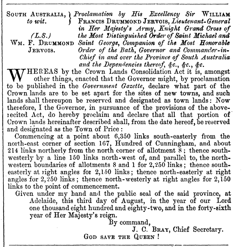
To get to the park we had to drive through the little town of Price.
The town was named by Governor William Jervois (b. 1821. d. 1897) after Florence Annie Price who married the governor’s eldest son. Florence was the daughter of Henry Strong Price, a pioneer pastoralist of the Flinders Ranges.
Above:- Governor WIlliam Jervois. Image c/o Wikipedia.
The town was proclaimed on the 3rd day of August 1882.
Above:- Proclamation of the town of Price. c/o The SA Govt Gazette, 3rd Aug 1882.
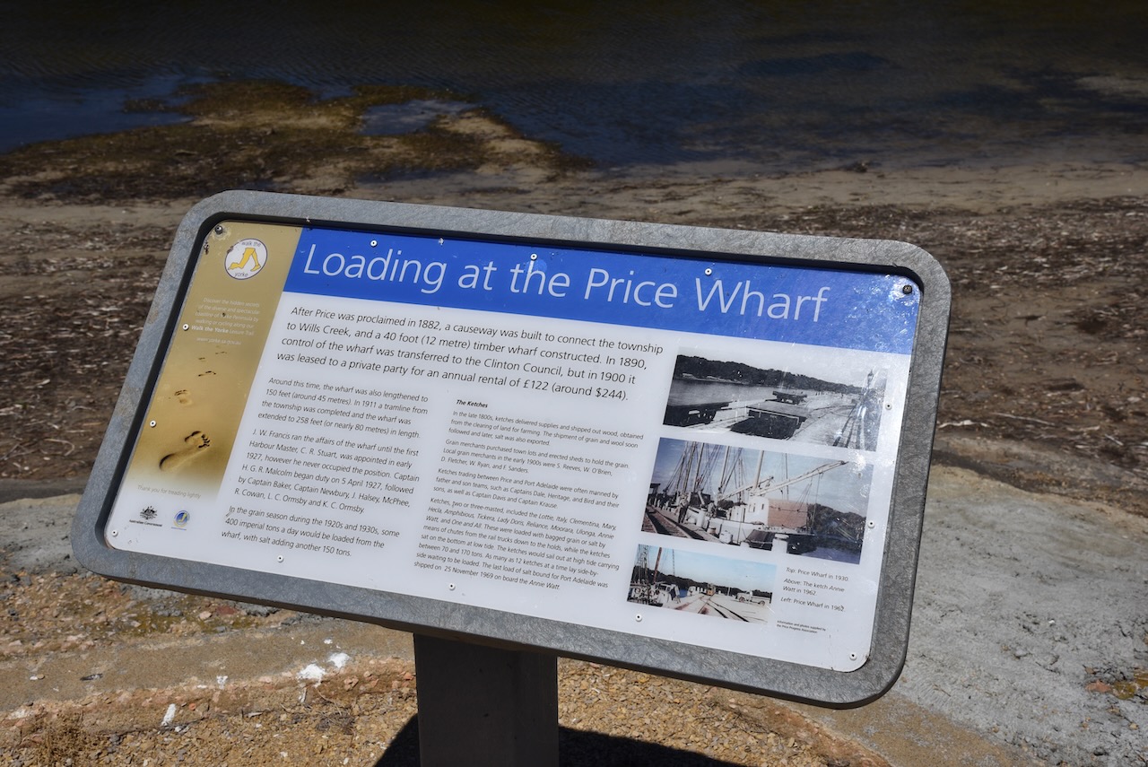
In that same year, a small wharf was erected on Wills Creek which is a sheltered anchorage for boats. In the early days of Price, it was from here that bagged salt and grain were loaded onto ketches for export. By 1964 the port was virtually closed and the wharf has now been demolished. In 1911 the Adelaide Advertiser newspaper (see below) reported that most of the ketches visiting Price via Wills Creek had at various times been stuck in the creek at low tide. In 1885 the Price school was opened.
Above:- Article from The Advertiser, Thu 12 Oct 1911. Image c/o Trove.
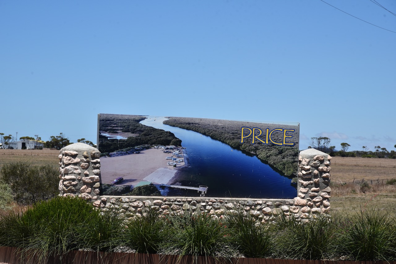
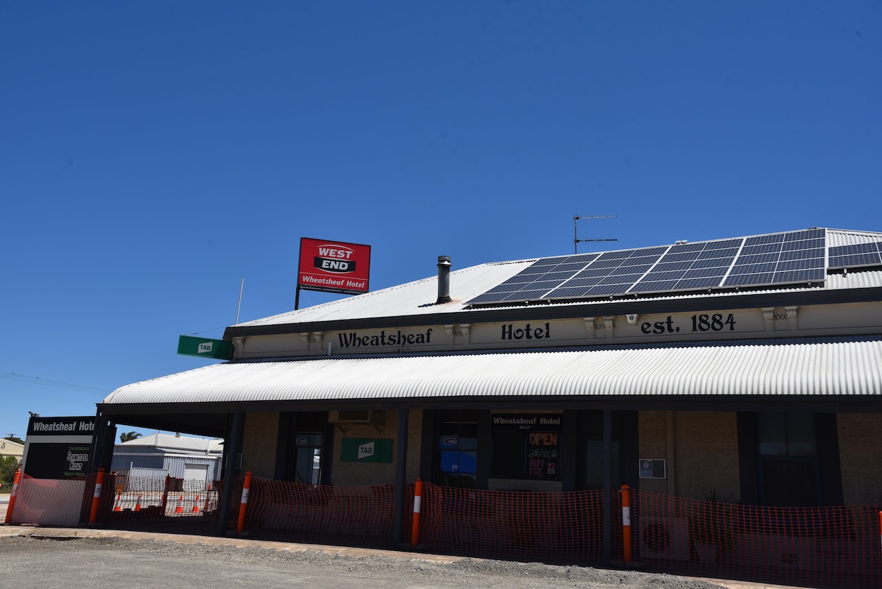
Price is a small town with a population of about 256 people. In the town, you can find the Wheatsheaf Hotel built in 1886, and a caravan park.
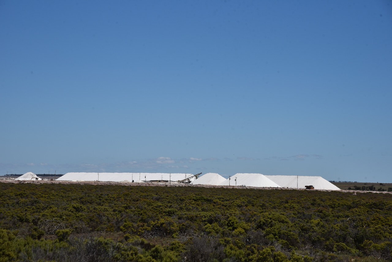
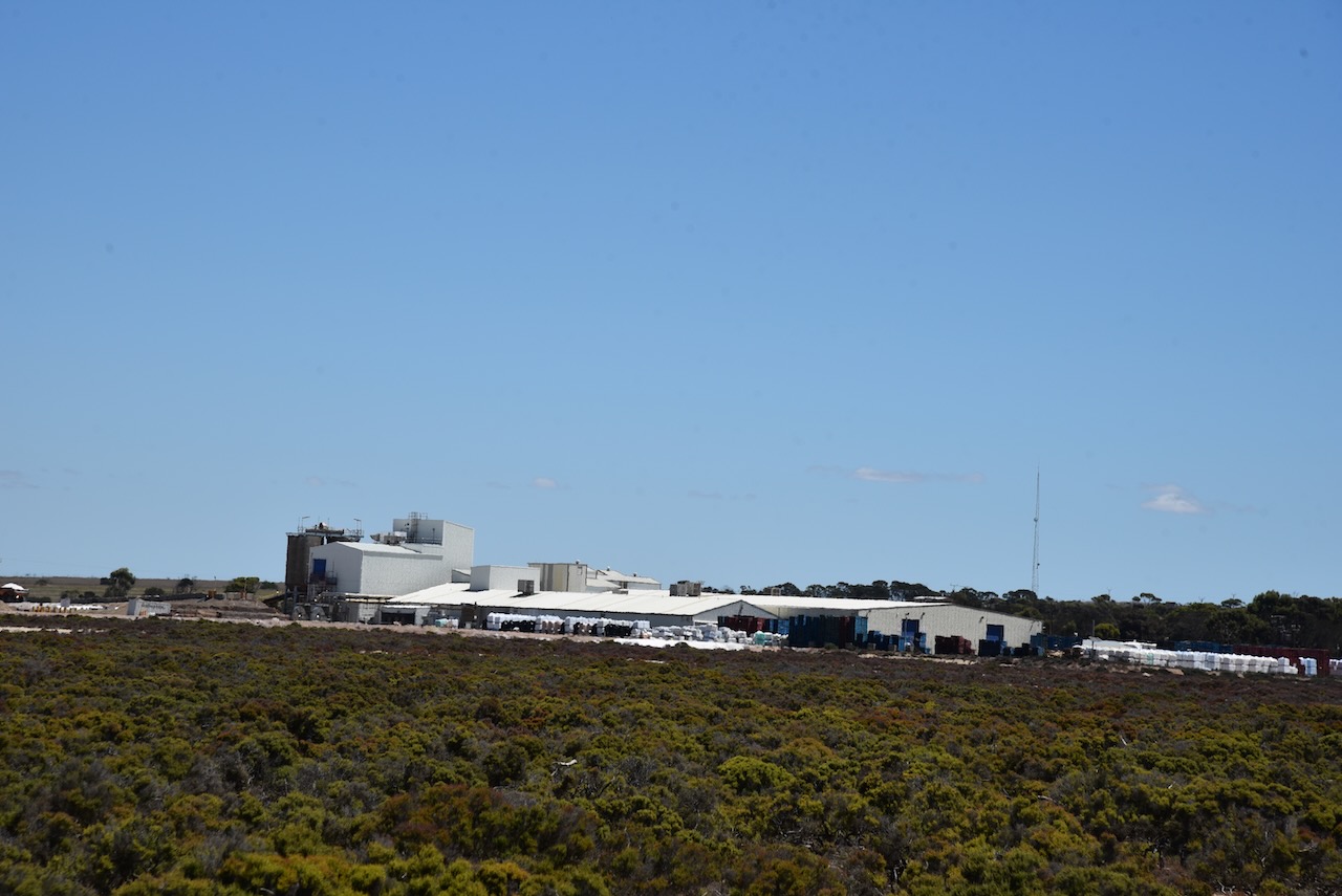
On the southern side of the town of Price, you will find Cheetham Salt Limited. It is the largest salt refinery in the southern hemisphere, with an average of 150,000 tonnes of salt harvested each year.
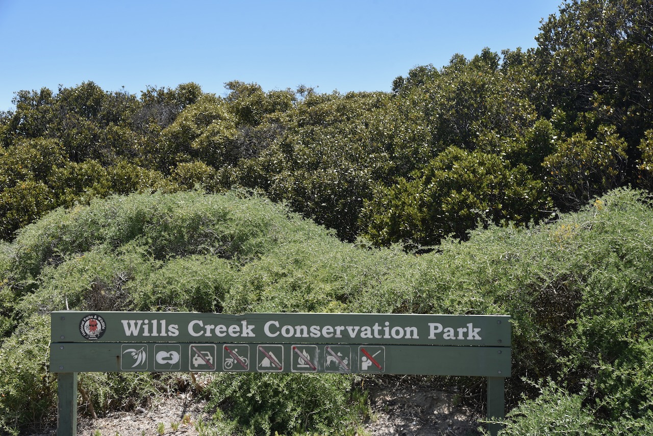
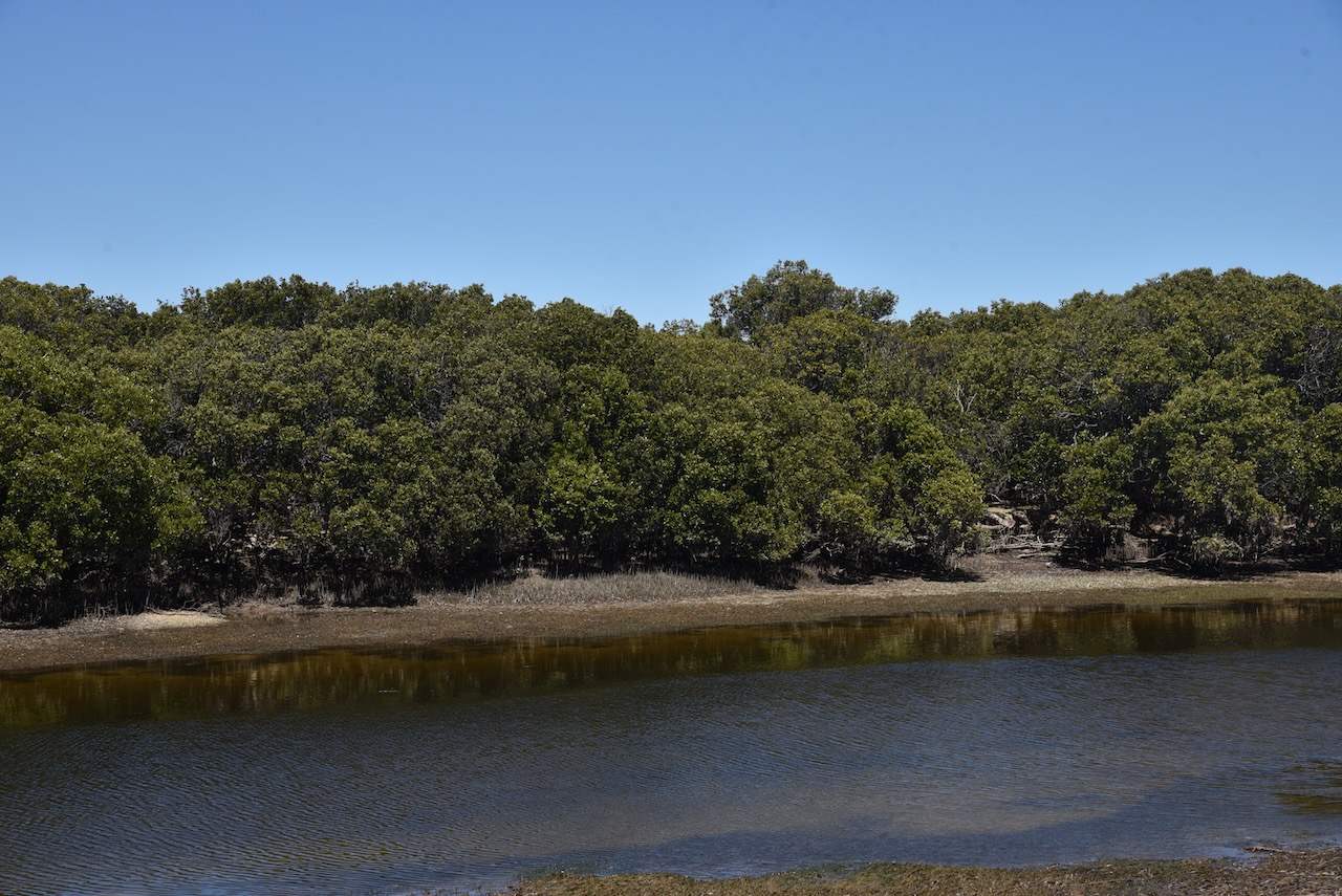
The Wills Creek Conservation Park is located on the eastern side of the Yorke Peninsula. It runs from south of the town of Clinton, along the coastline to south of the town of Price. The park is about 2,298 hectares in size.
Above:- An aerial view of the park looking south. Image c/o Google maps.
The park was proclaimed on the 14th day of December 2006.
The park is a significant coastal wetland and estuary area which supports mangroves and intertidal habitats. There are three major flora habitats in the park: Mangrove woodland, Low (Samphire) shrubland, and Low woodland.
Birds SA have recorded about 103 bird species in the park including Common Greenshank, White-faced Heron, Singing Honeyeater, White-browned Scrubwren, Chestnut Teal, Grey Teal, and Willie Wagtail.
Numerous reptiles can be found in the park including the Southern Grass skink, the Four-toed Earless skink, and the Dwarf skink.
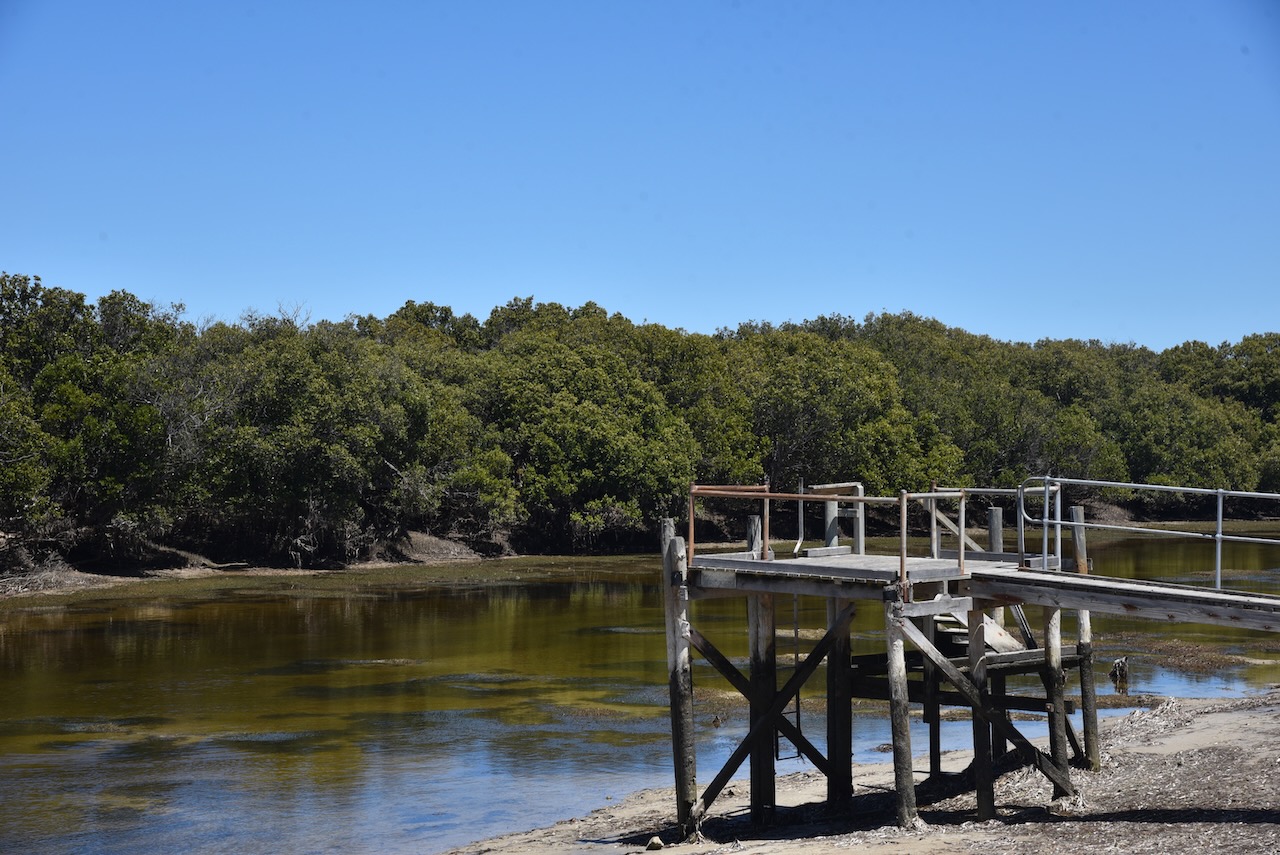
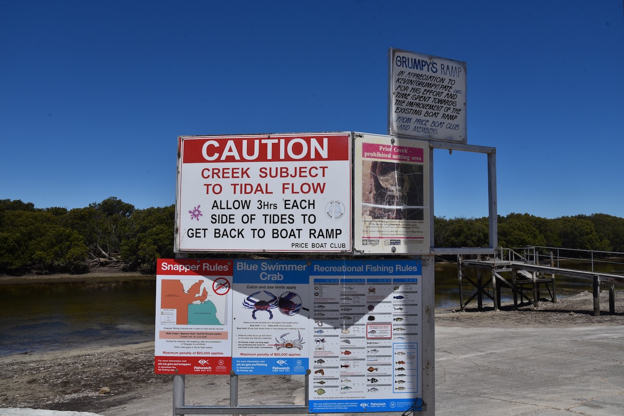
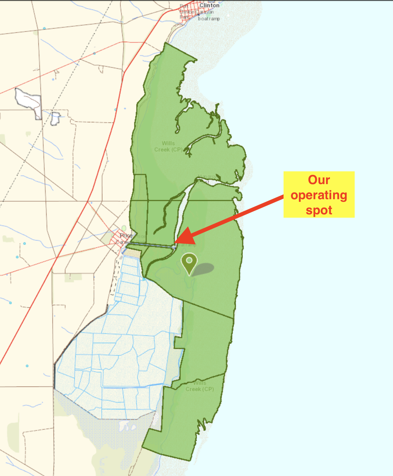
Marija and I drove to the end of the Causeway Road to the car park at the boat ramp. We set up just to the north of the shelter shed.