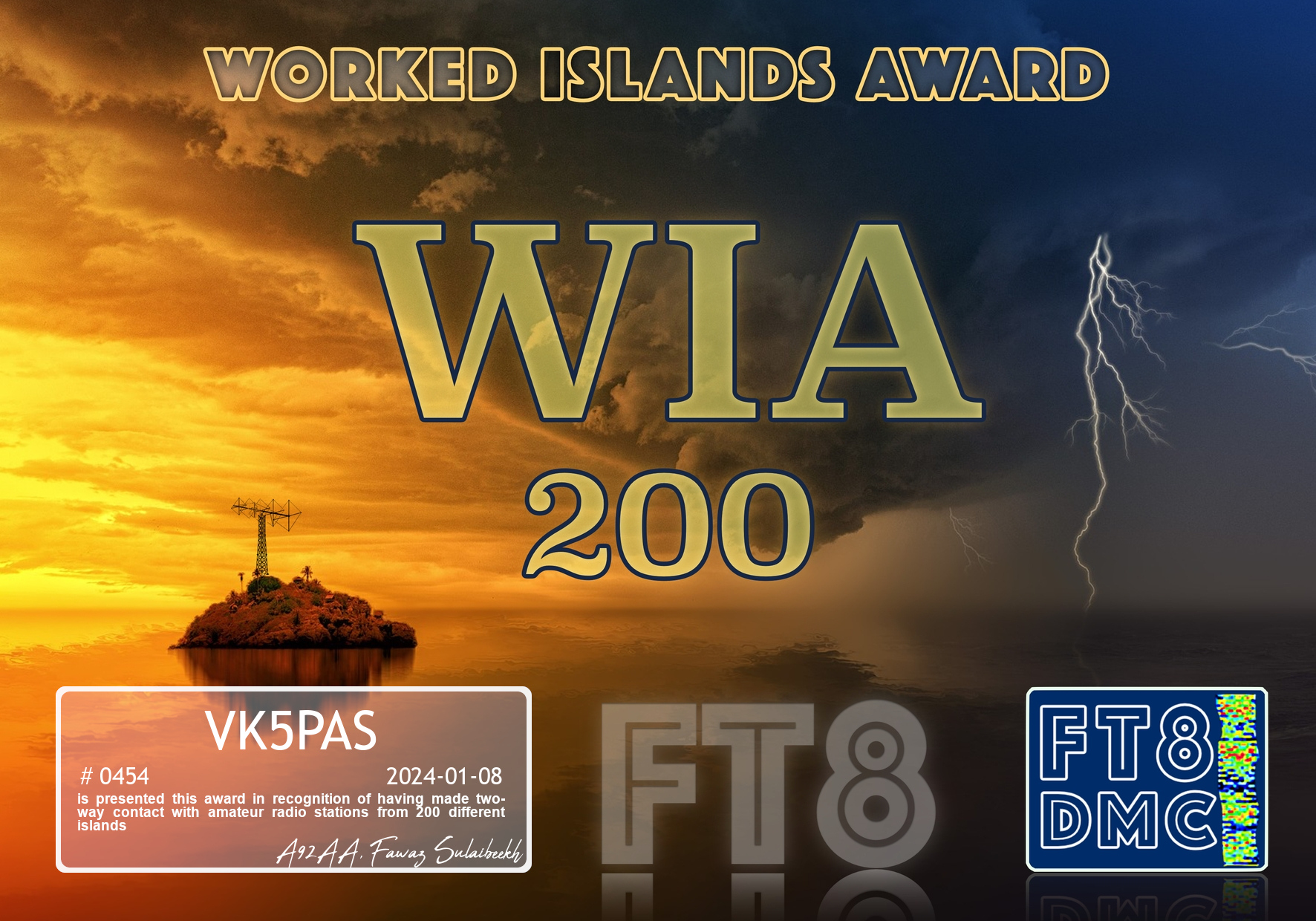
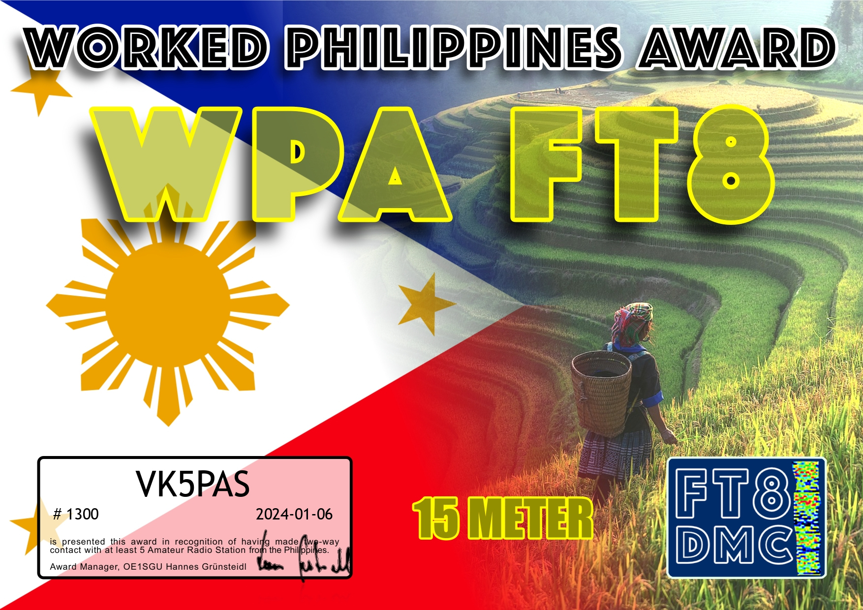
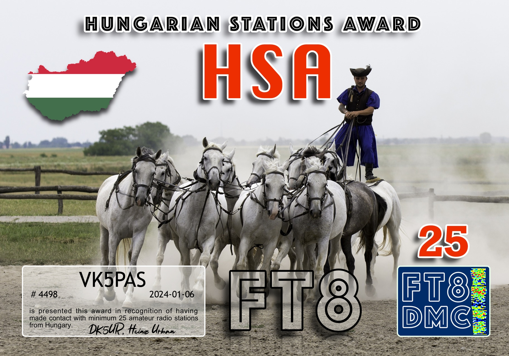
Here are my latest FT8 award certificates.
Thank you to all of the FT8 operators and to the various Award Managers.
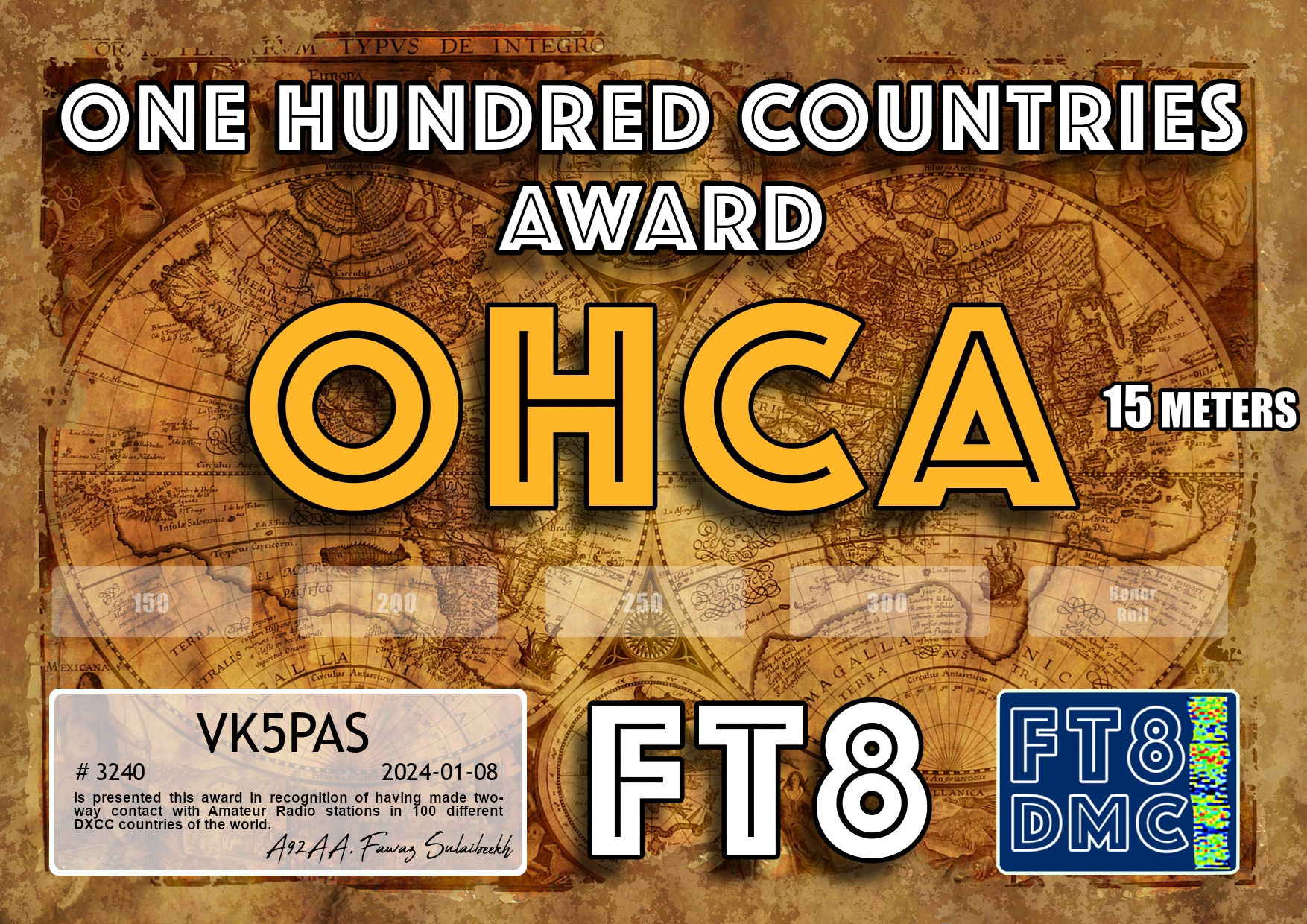
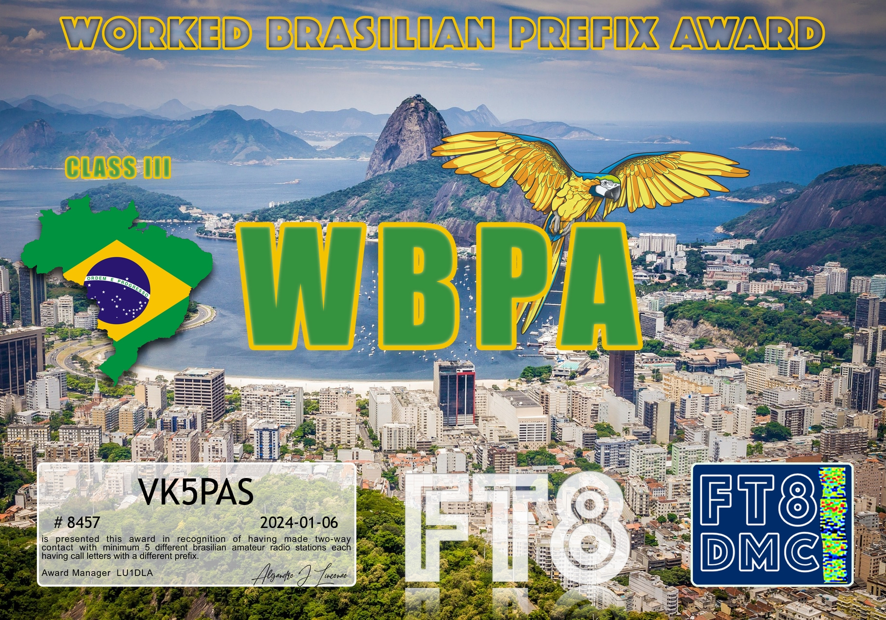


Here are my latest FT8 award certificates.
Thank you to all of the FT8 operators and to the various Award Managers.
On Thursday 28th December 2023 I was the Net Control on the Australia New Zealand Africa (ANZA) DX Net. And I was very pleased to have Tim VK3IFR join us.
Tim was in the cockpit of a Qantas Boeing 737 aircraft.
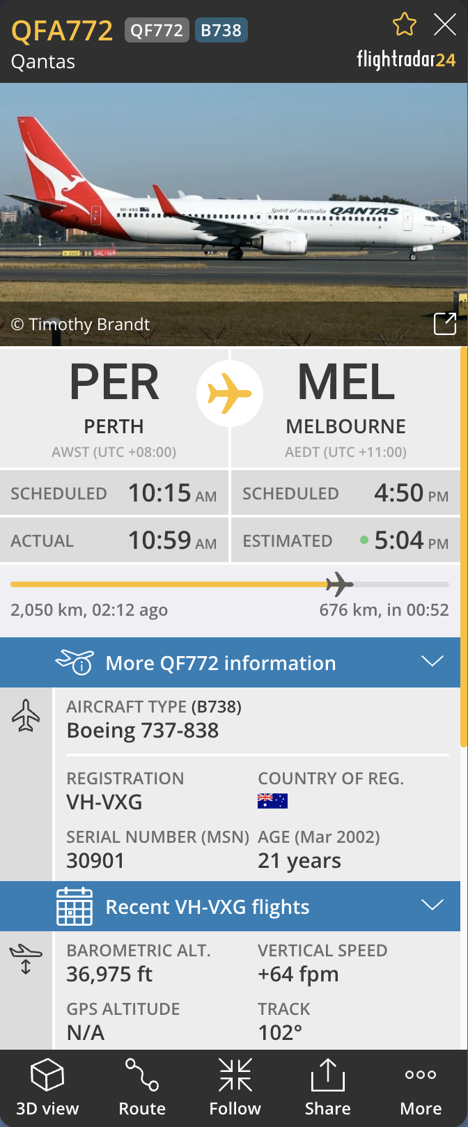
Tim was flying from Perth to Melbourne and was flying across Kangaroo Island in South Australia at the time.
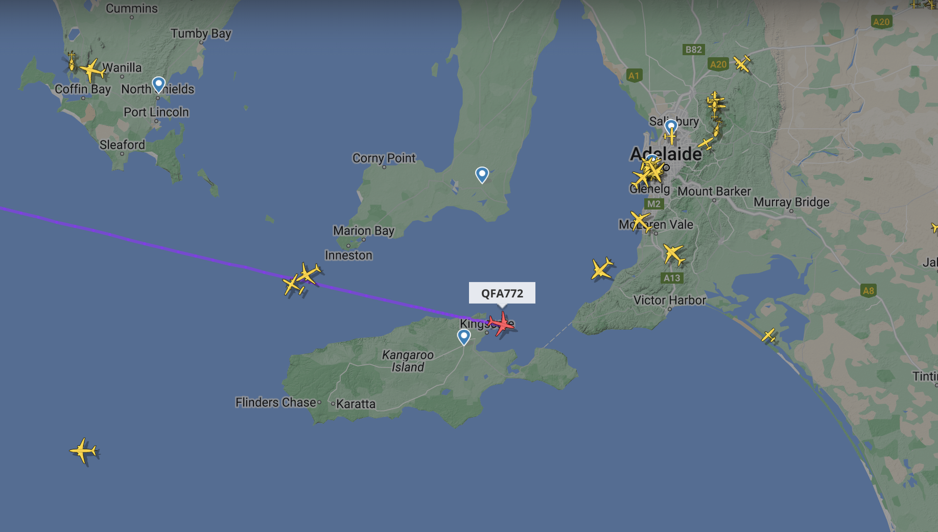
He was a 20/9 signal to me at Ashbourne and made a lot of people very happy who got Tim in the log.
Thanks for joining the Net Tim. You are always welcome.
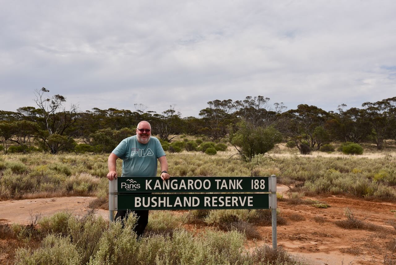
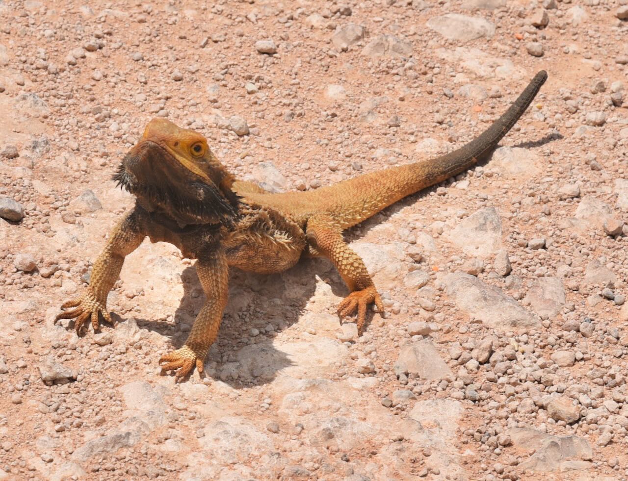
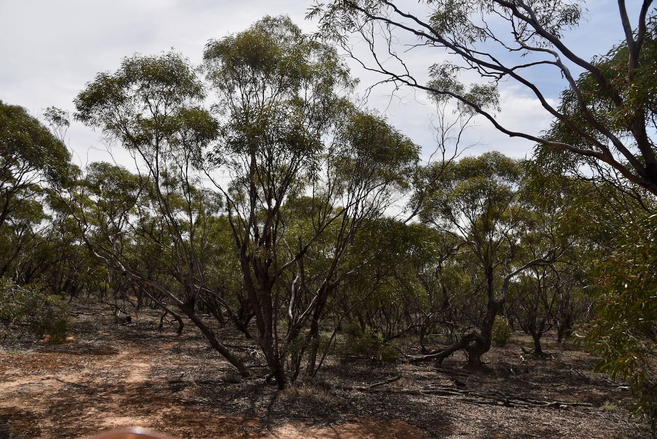
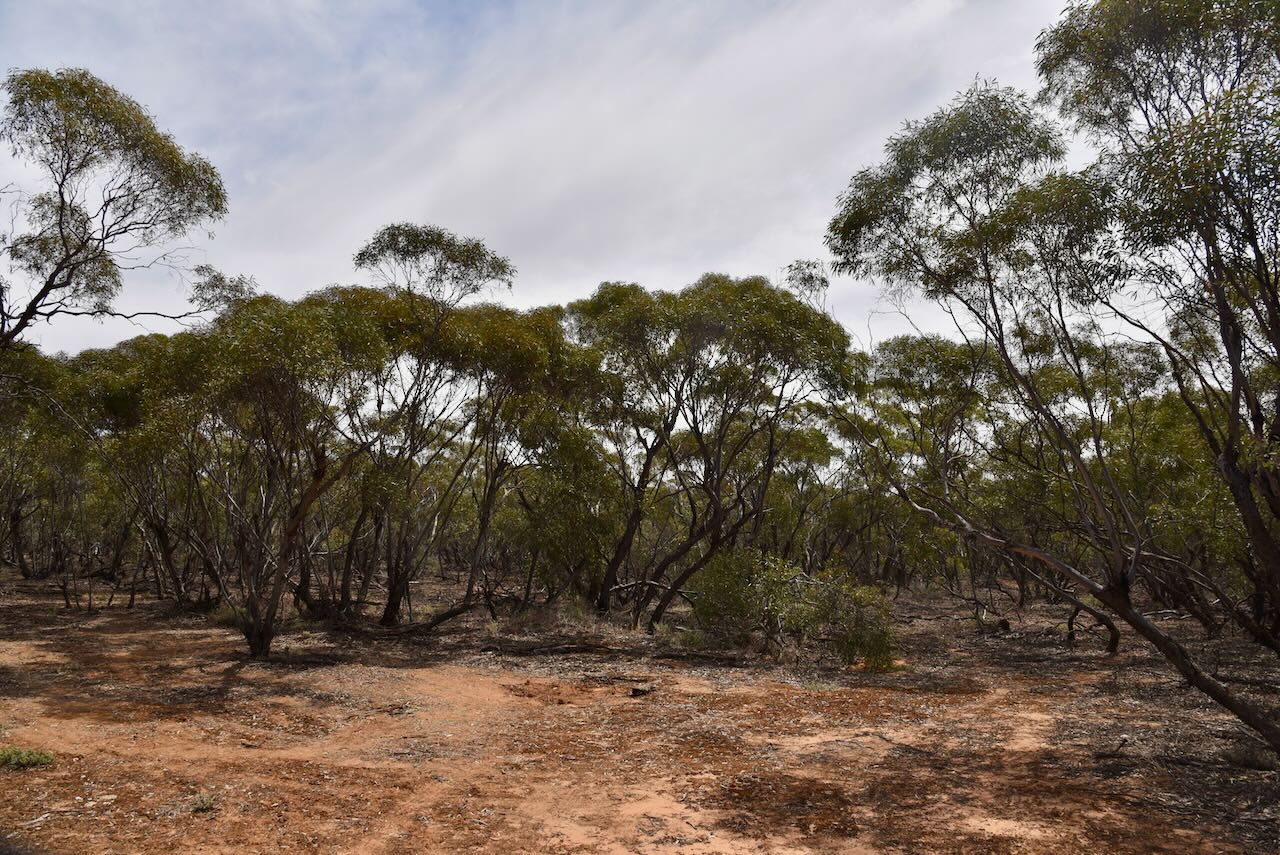
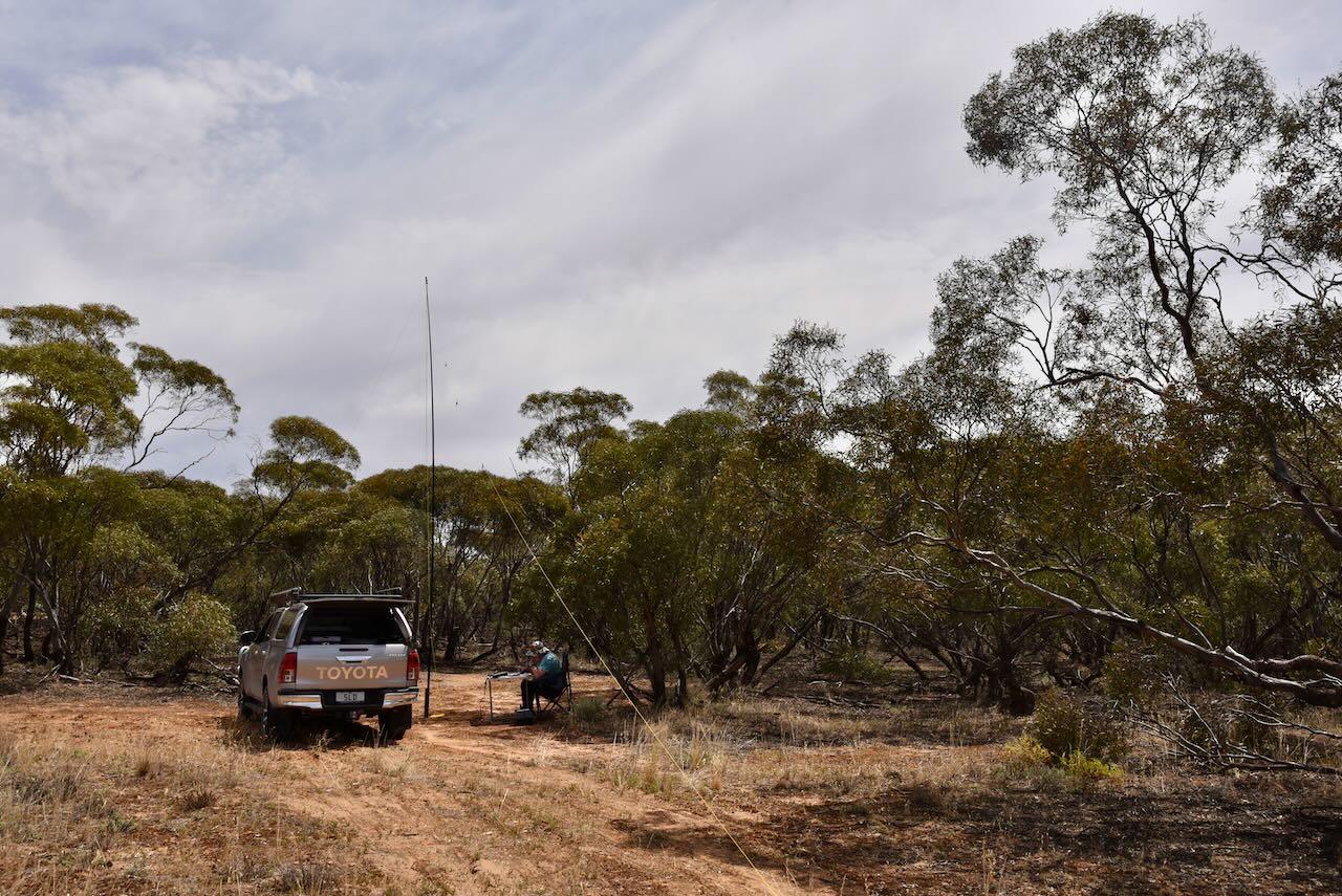
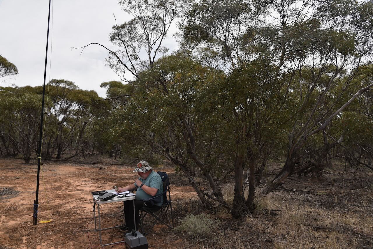
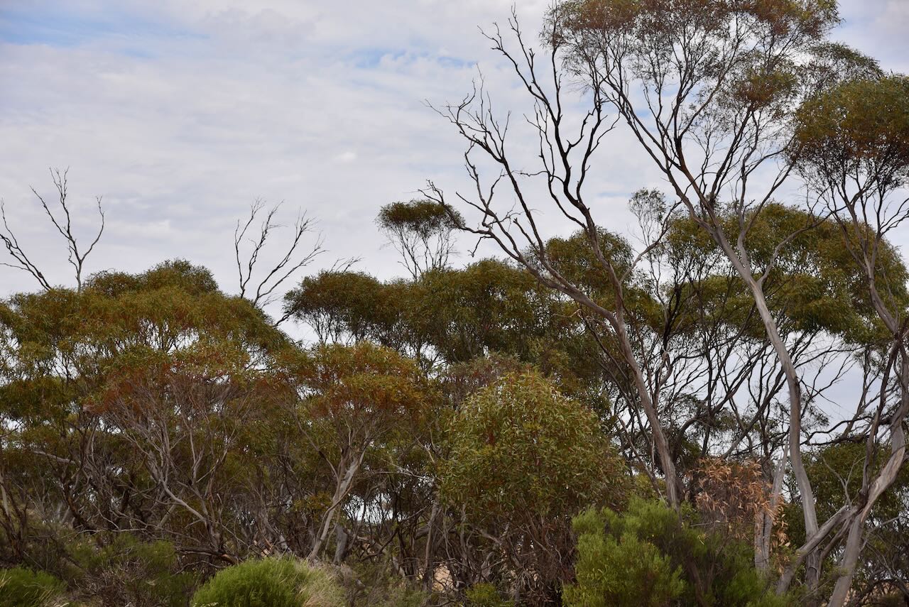
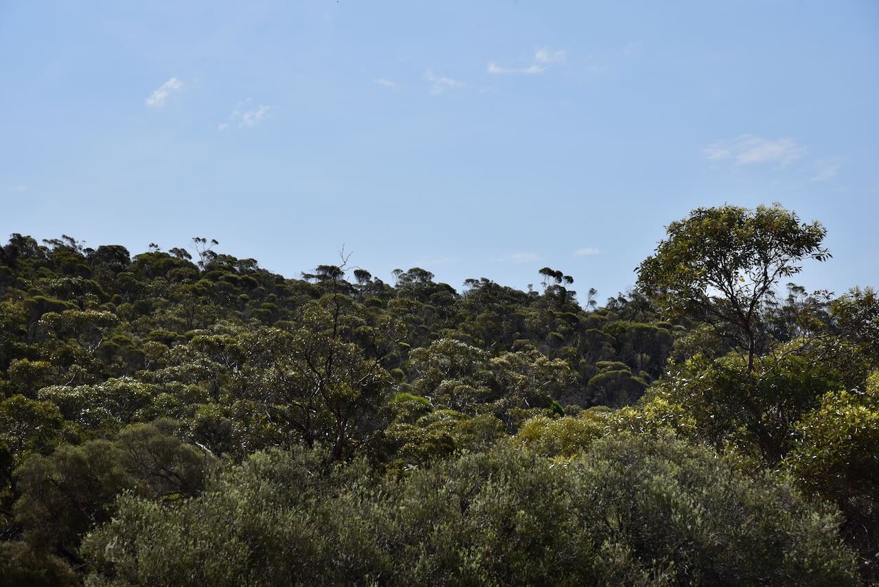
After leaving Wyperfeld, Marija and I headed north to the Kangaroo Tank Bushland Reserve VKFF-4175. The reserve is located about 3km north of Underbool in northwestern Victoria.
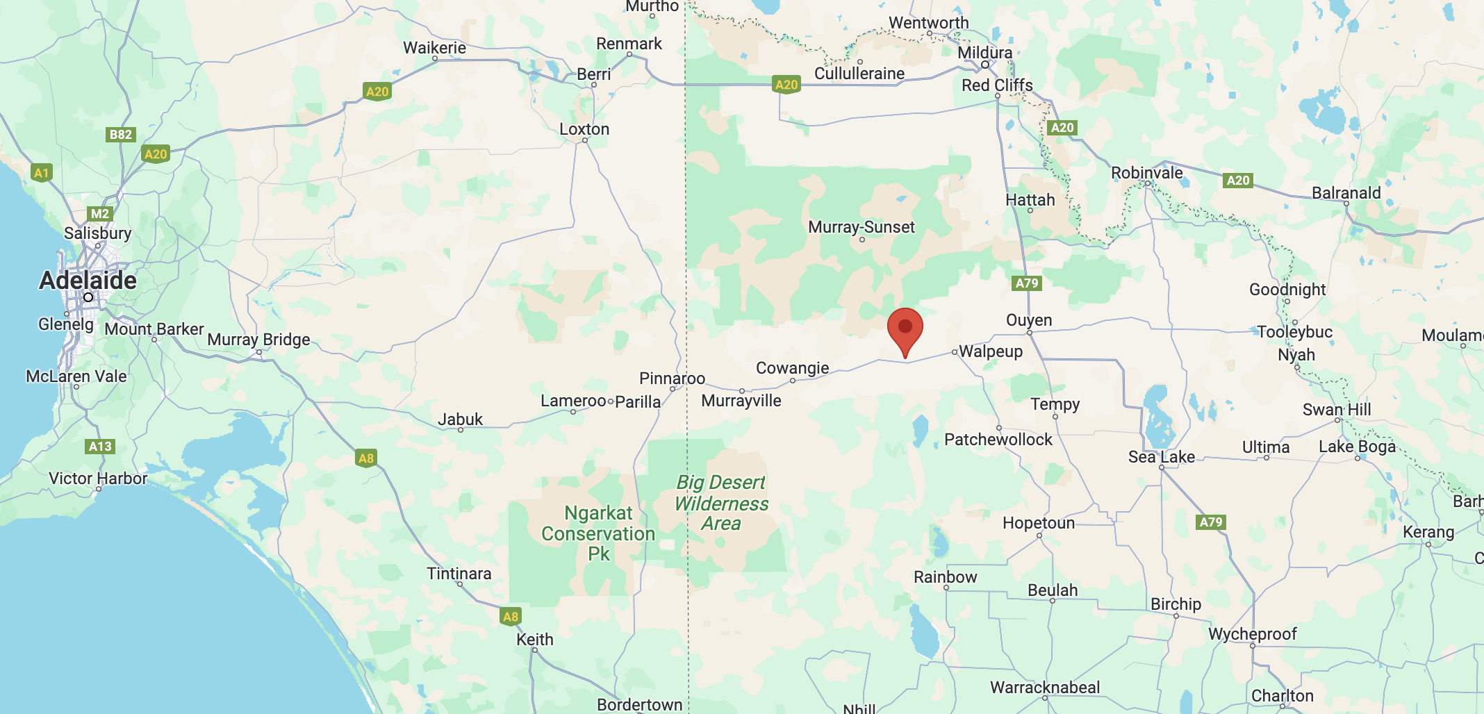
Above:- Map showing the location of the Kangaroo Tank Bushland Reserve. Map c/p Google Maps.
The reserve is located on the northern side of Gnarr Road, near the junction with Harrison Road. THere is a small section on the southern side of Gnarr Road.
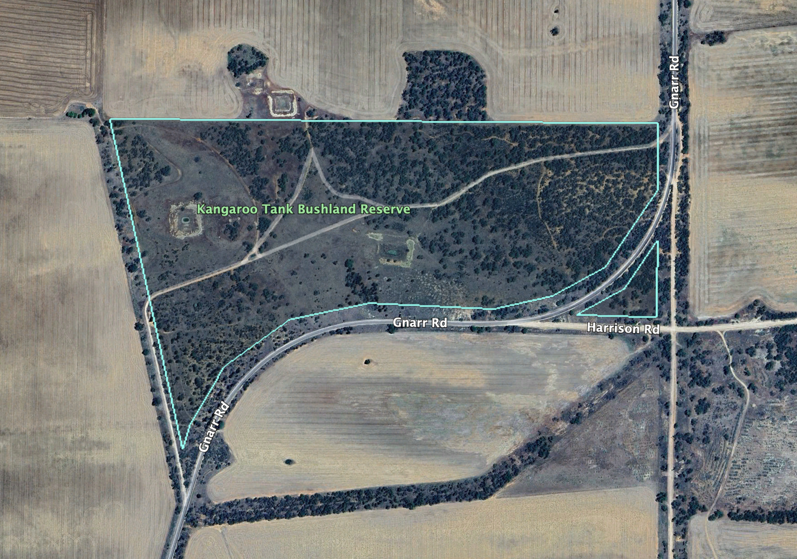
Above:- The Kangaroo Tank Bushland Reserve. Image c/o Google Earth.
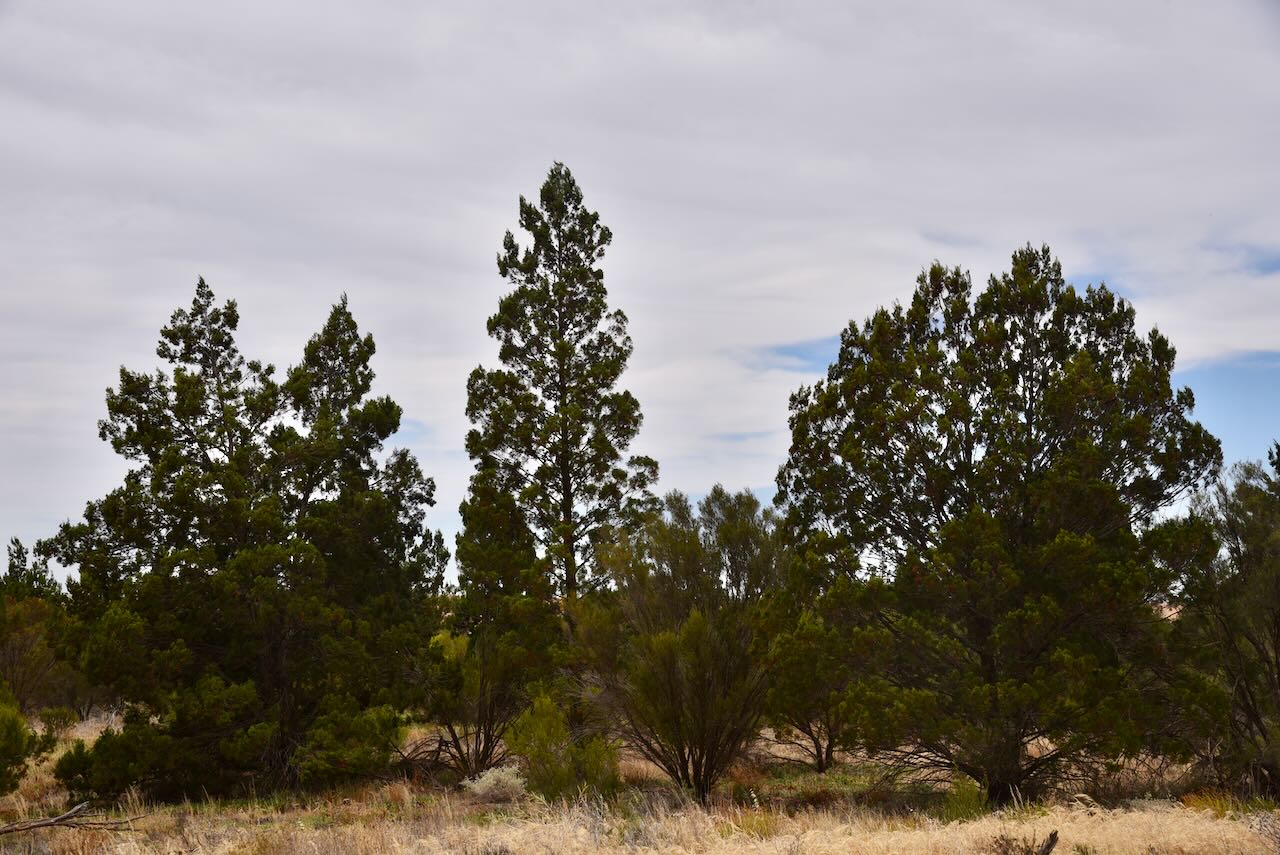
The reserve is about 48 hectares in size and was established on the 1st day of May 1979. The park is surrounded by cleared farming land.
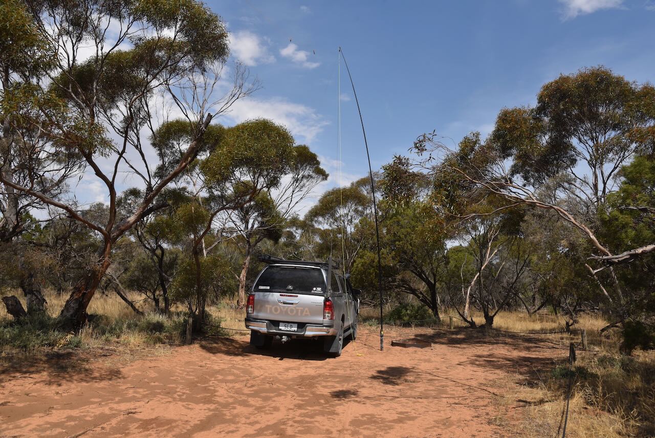
I used the special event call of VI10VKFF for this activation. We ran the Yaesu FT857, 40 watts, and the 20/40/80m linked dipole.
Marija worked the following stations on 40m SSB:-
Marija worked the following stations on 40m AM:-
I worked the following stations on 40m SSB:-
I worked the following stations on 40m AM:-
I worked the following stations on 20m SSB:-
References.
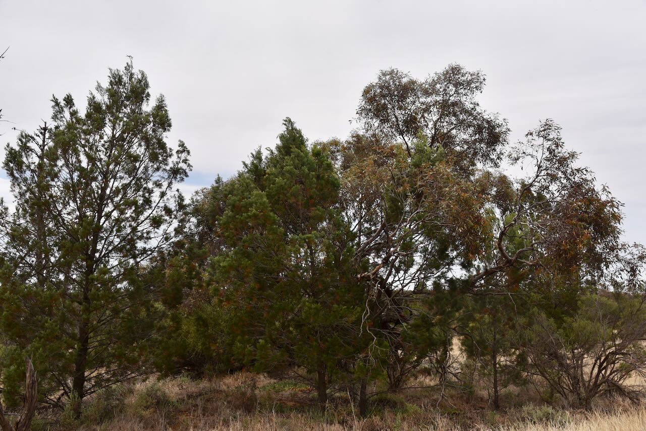
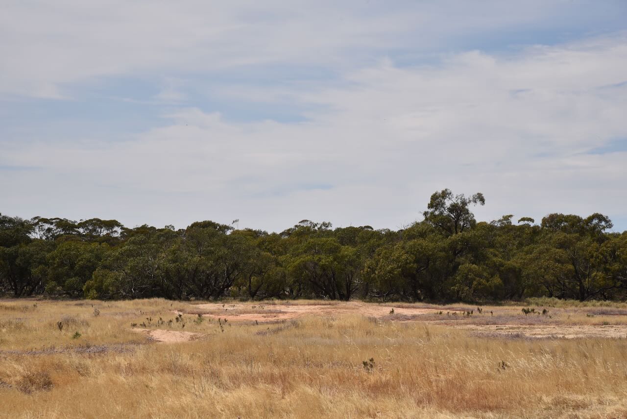
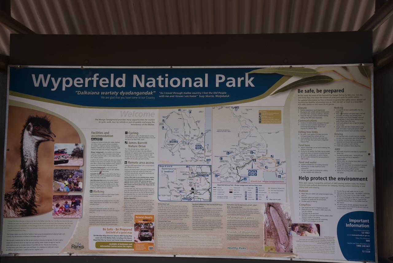
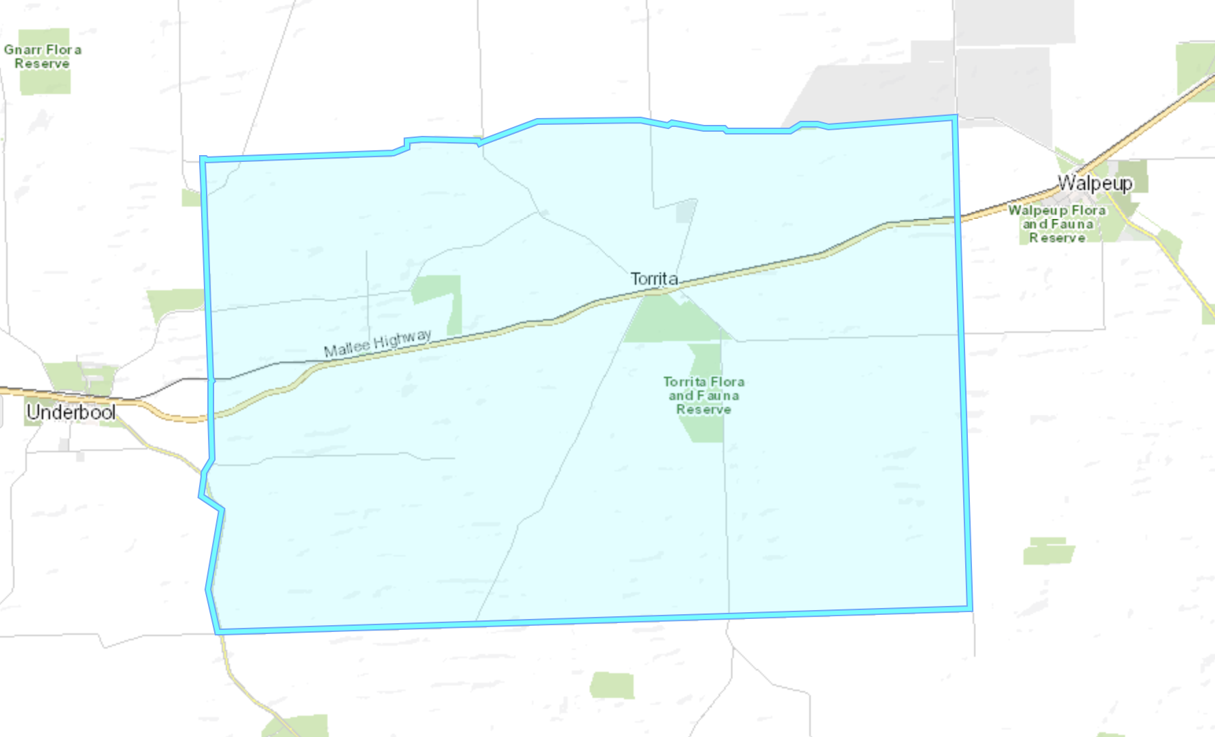
It was now time to activate the Wyperfeld National Park VKFF-0549 as part of the Keith Roget Memorial National Parks Award (KRMNPA) Activation Weekend. The park is located about 450 km northwest of Melbourne.
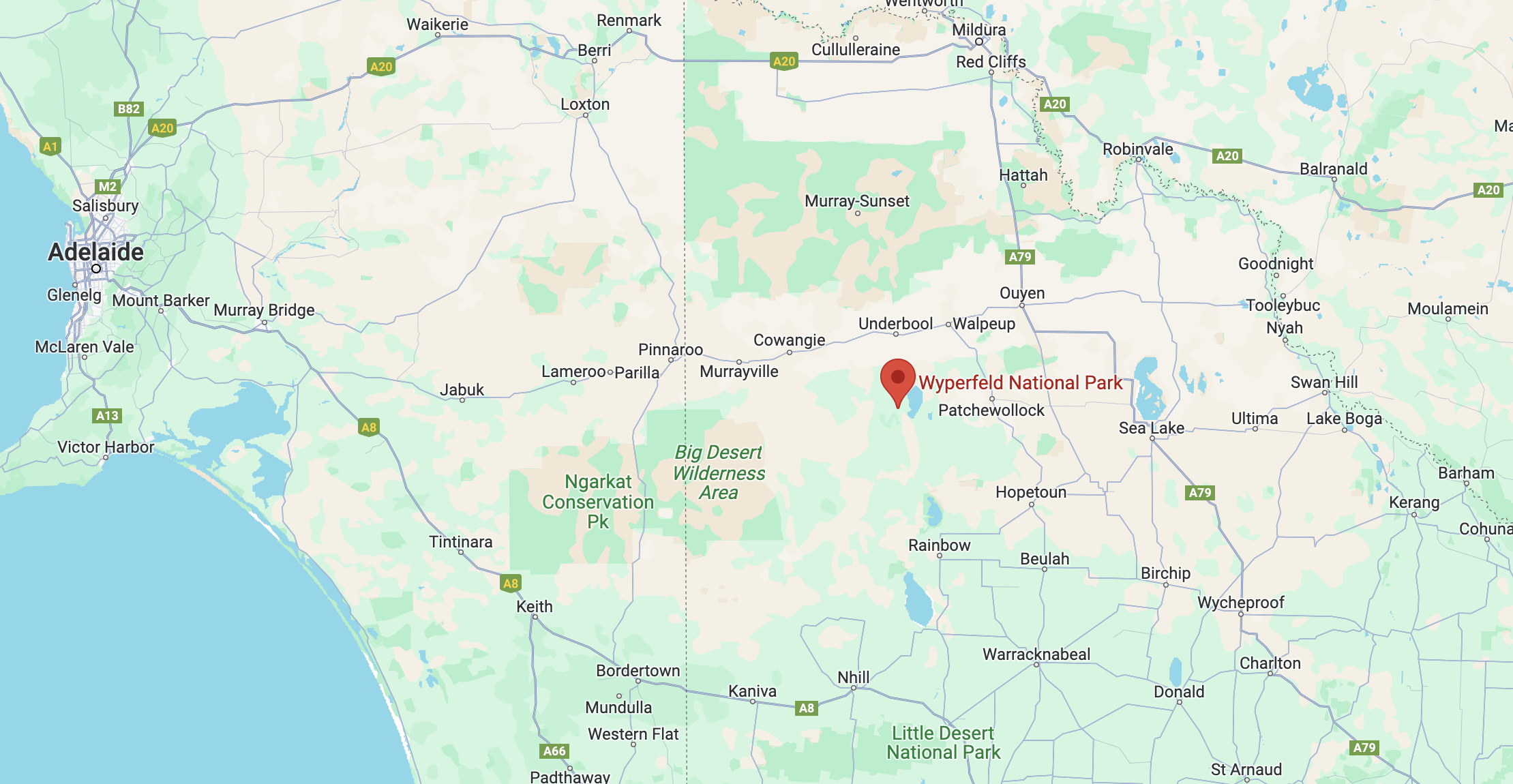
Above:- Map showing the location of the Wyperfeld National Park. Map c/o Google Maps.
The Wyperfeld National Park was established in 1921. It is about 357,017 hectares in size and it is the third largest National Park in Victoria.
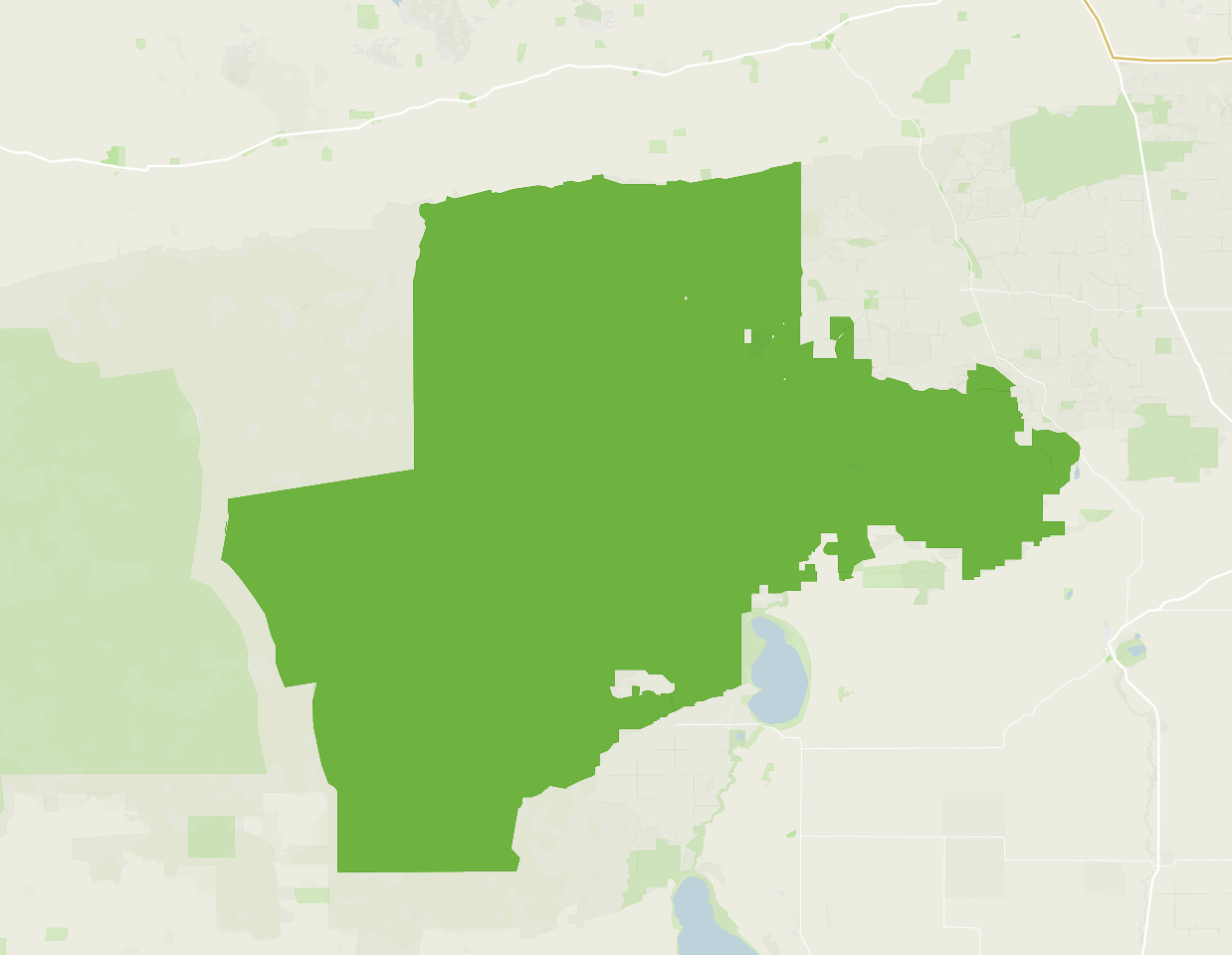
Above:- Boundary map of the Wyperfeld National Park. Image c/o Protected Planet.
The name Wyperfeld is of Germanic origin: Wyper meaning tributary of Rhine River, and feld meaning field. It is believed to have been made by the Prussian settler who came to the Wimmera-Mallee region from South Australia.
Before European settlement of the area, the land was occupied by the Wotjobaluk aboriginal people. They regularly travelled along Outlet Creek Tyakil‐ba‐Tyakil visiting the various lakes and swamps.
Wypefeld was originally divided into pastoral leases during the 1860s.
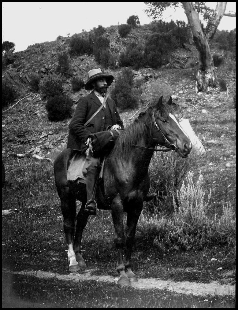
In 1898 naturalist Archibald James Campbell (b. 1853. d. 1929) and Charles McLennan (later appointed as the first ranger at Wilsons Promontory National Park) visited the area which was to become Wypefeld National Park. In the Victorian Naturalist he stated ‘for dinner we had scrambled Mallee Hen eggs; and they proved first-class diet.‘

Above:- Archibald James Campbell. Image c/o Wikipedia.
In September 1907, a prominent ornithologist Arthur Herbert Evelyn Mattingley (b. 1870. d. 1950) and two associates Jack Ross and Frank Howe, visited the Wyperfeld area. Mattingly insisted that it should be made a reserve for nature lovers. He described it as a ‘paradise for nature lovers.’ In 1909 he was successful in having about 9,000 acres of land temporarily set aside around the Wonga Basin. At the time Victoria had only three National Parks: Tower Hill, Wilsons Promontory, and Mount Buffalo.
Above:- Arthur Mattingley. Image c/o Wikipedia.
Mattingley continued to visit the Wyperfeld National Park, often leading parties of field naturalists.

Above:- Article from The Argus, Melbourne, Mon 14 Nov 1932. Image c/o Trove.
Sir James William Barrett (b. 1862. d. 1945) was the Chairman of the National Parks Association, and he was instrumental in having the Wyperfeld National Park declared in 1921.
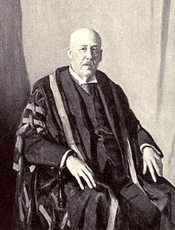
Above:- Sir James WIlliam Barrett. Image c/o Wikipedia.
Wyperfeld was once a shallow sea, from about 25 million years ago until fairly recent times. Wyperfeld’s current landforms are a result of the sea gradually retreating, leaving a vast expanse of sandy sediment. These formed into sand dunes about 40,000 to 15,000 years ago.
Wyperfeld contains a series of ephemeral lakes. Ephemeral lakes remain flooded annually for short periods, but may not hold water for several years due to rainfall. Before European settlement of the area, the Wyperfeld ephemeral lakes filled and emptied, on average about every 20 years. Due to agricultural irrigation and drainage projects in the district, much of Wyperfeld’s water supply has been cut off.
During years of good rainfall, the Wimmera River fills Lake Hindmarsh, which then overflows along Outlet Creek and into Lake Albacutya.
The park is part of the Wyperfeld, Big Desert and Ngarkat Important Bird Area, identified by BirdLife International due to its importance for the conservation of the vulnerable Malleefowl and other Mallee birds.
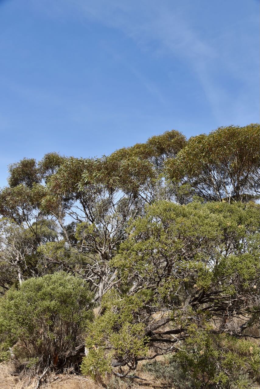
About 450 species of native plants can be found in Wyperfeld. Various Australian mammals call the park home, including Western Grey Kangaroo, Red Kangaroo, Black Wallaby, Fat-tailed Dunnart, and Western pygmy possum.

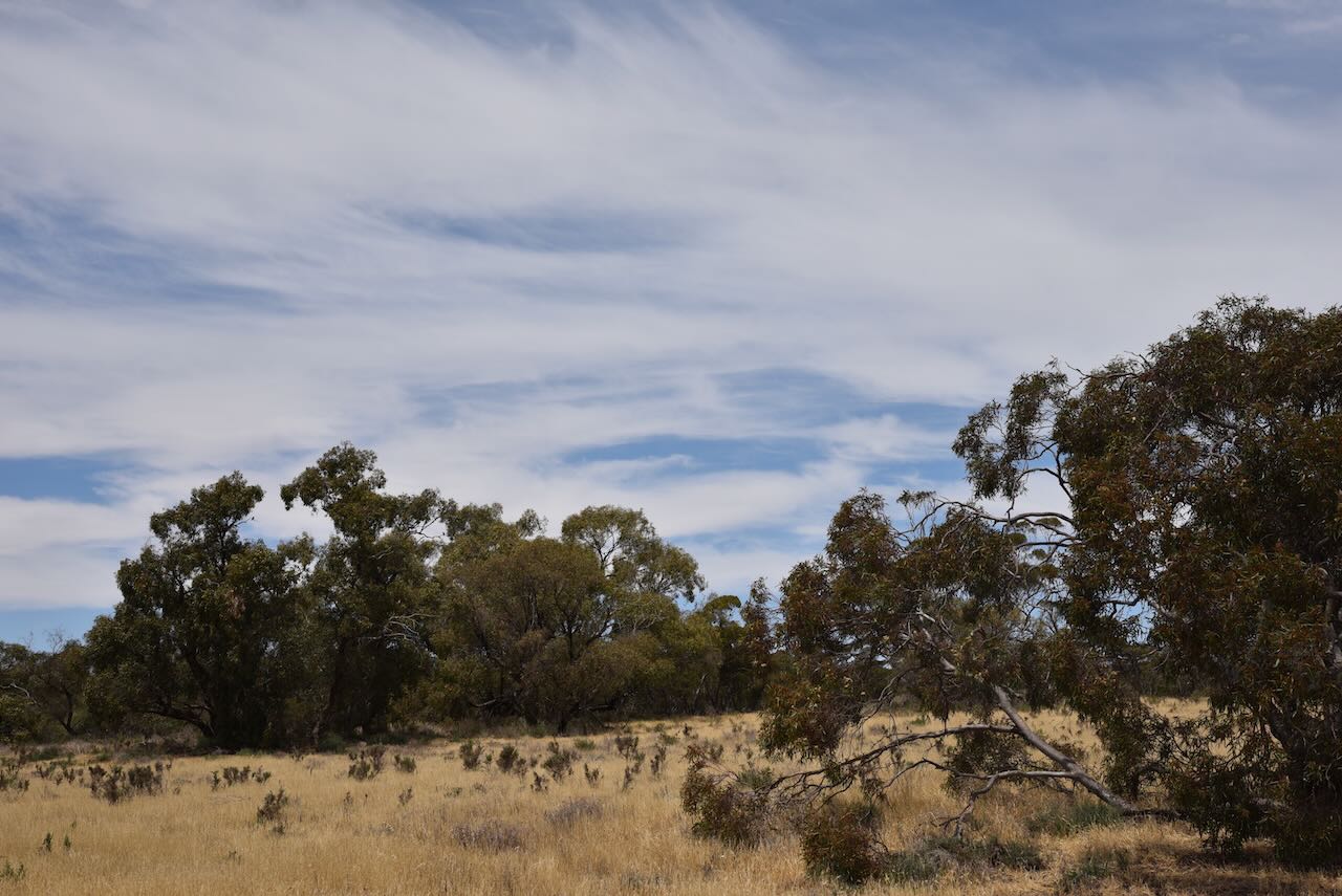
We only had a short drive from Gunners Tank to be inside the Wyperfeld National Park. I used the special event call of VI10VKFF for this activation. We ran the Yaesu FT857, 40 watts, and the 20/40/80m linked dipole supported on the 7-metre heavy- duty telescopic squid pole.
Marija worked the following stations on 20m SSB:-
Marija worked the following stations on 40m SSB:-
I worked the following stations on 20m SSB:-
I worked the following stations on 40m SSB:-
I worked the following stations on 40m AM:-
References.
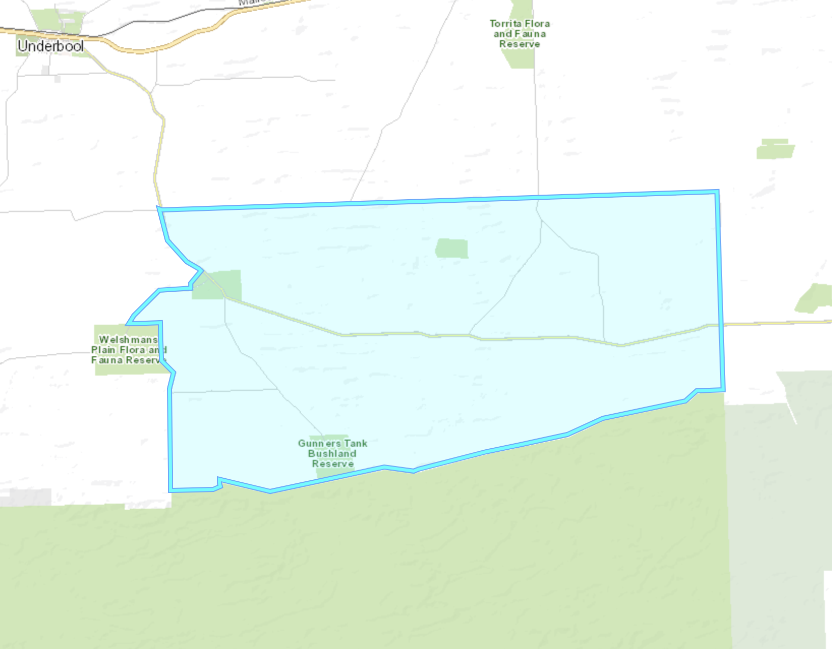
Our next activation for Sunday 12th November 2023 was the Gunners Tank Bushland Reserve VKFF-4178. The reserve is about 14km south of Underbool in northwestern Victoria.

Above:- Map showing the location of Gunners Tank Bushland Reserve. Map c/o Google Maps.
We accessed the reserve Gunner Road which runs off the Underbool-Patchewollock Road, south of Underbool.

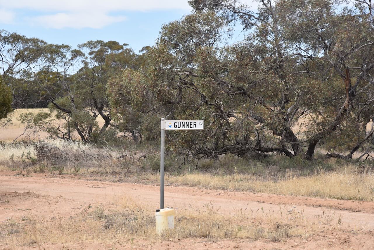
The reserve is located at the end of Gunner Road. It adjoins the Wyperfeld National Park.
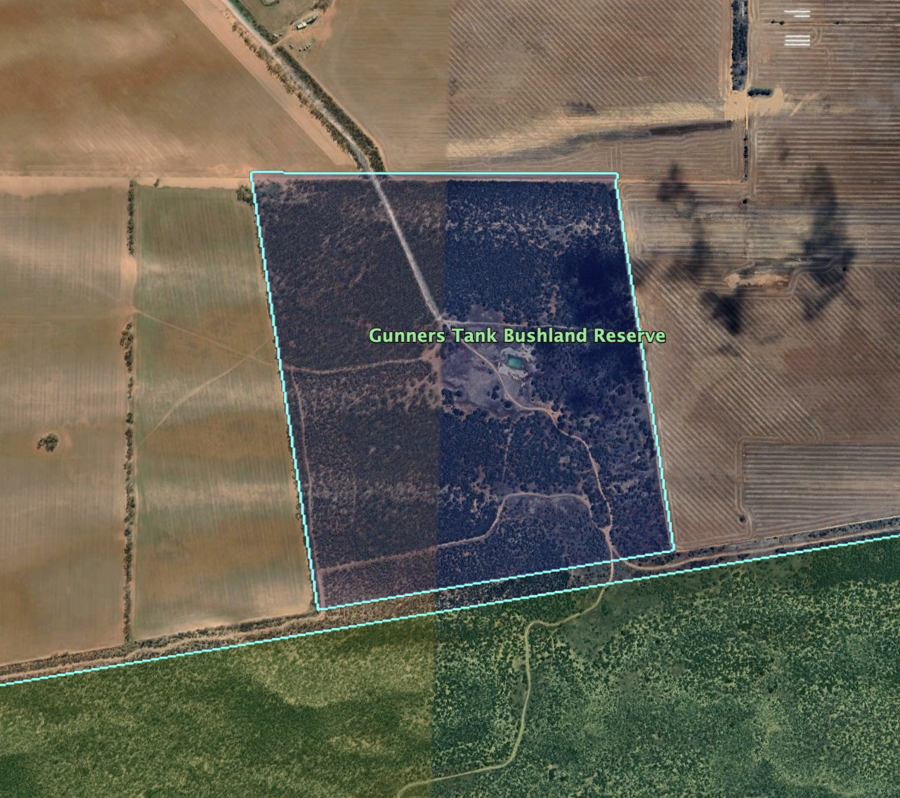
Parks Victoria has a webpage regarding the park but it contains no information of value other than a boundary image of the reserve.
The reserve is about 112 hectares in size and was established on the 1st day of May 1979.
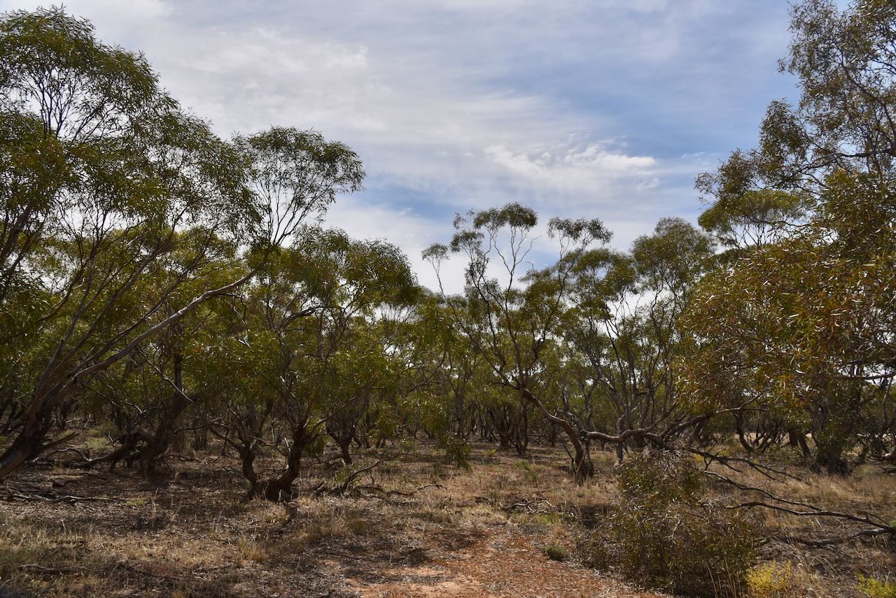
It was a warm afternoon, so we found the shade of a small tree and set up the station comprising the Yaesu FT857, 40 watts output, and the 20/40/80m linked dipole.
I used the special event call sign of VI10VKFF for this activation.
Marija worked the following stations on 40m SSB:-
Marija worked the following station on 20m SSB:-
I worked the following stations on 40m SSB:-
I worked the following stations on 20m SSB:-
References.
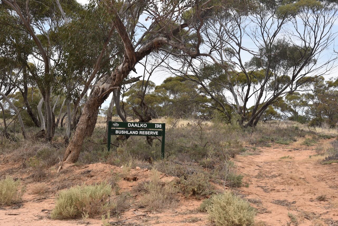
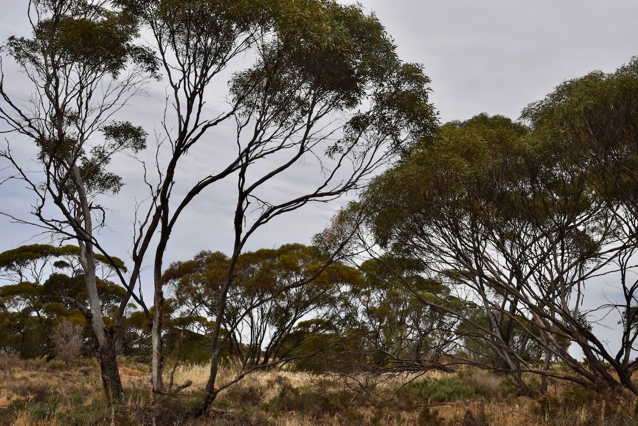
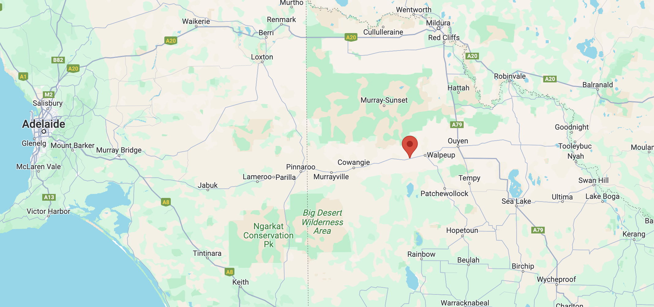
Our next activation for Sunday 12th November 2023 was the Daalko Bushland Reserve VKFF-4177. The reserve is located about 10km south of Underbool in northwestern Victoria.
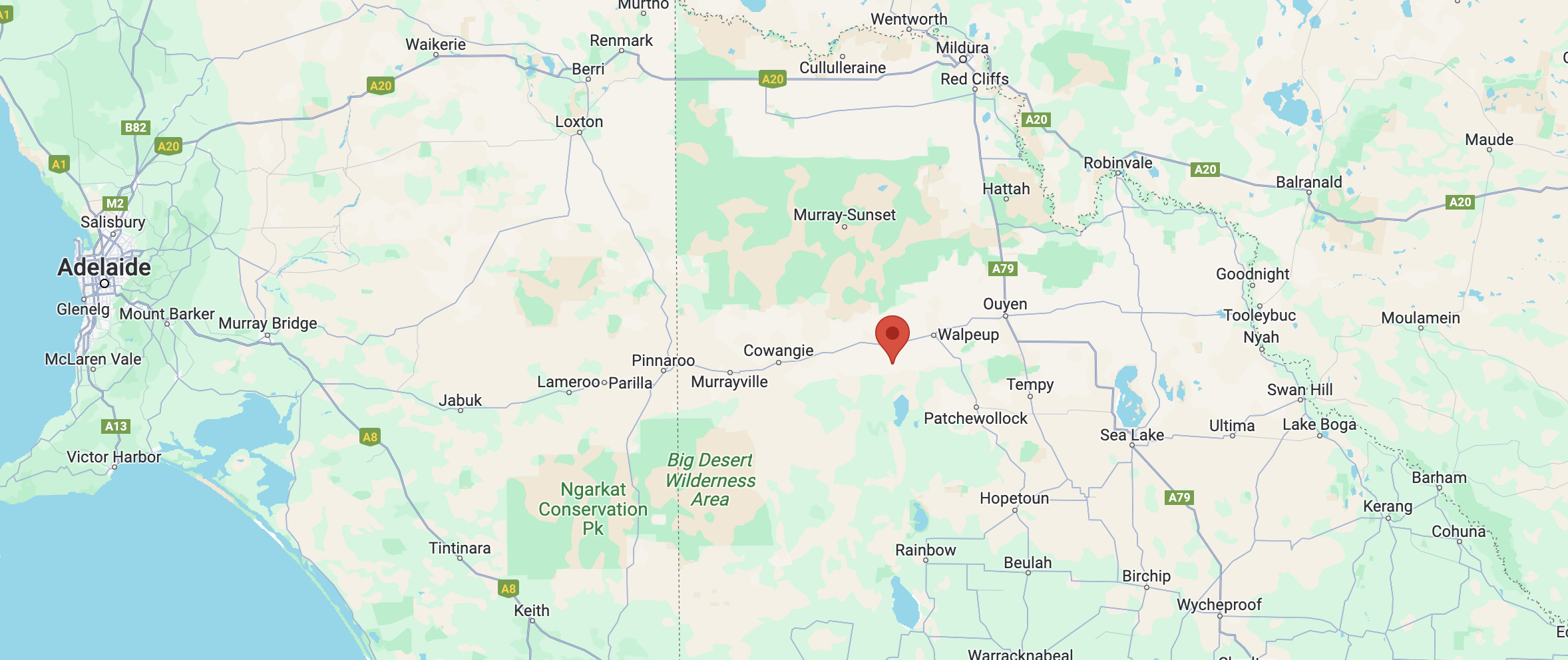
Above:- Map showing the location of the Daalko Bushland Reserve. Map c/o Google Maps.
Daalko is a parish in northwestern Victoria. Daalko is an aboriginal word meaning ‘good’.
Above:- The Parish of Daalko. Image c/o Mapshare Victoria.
Land in the Daalko area was opened up for farming in the early 1900s.
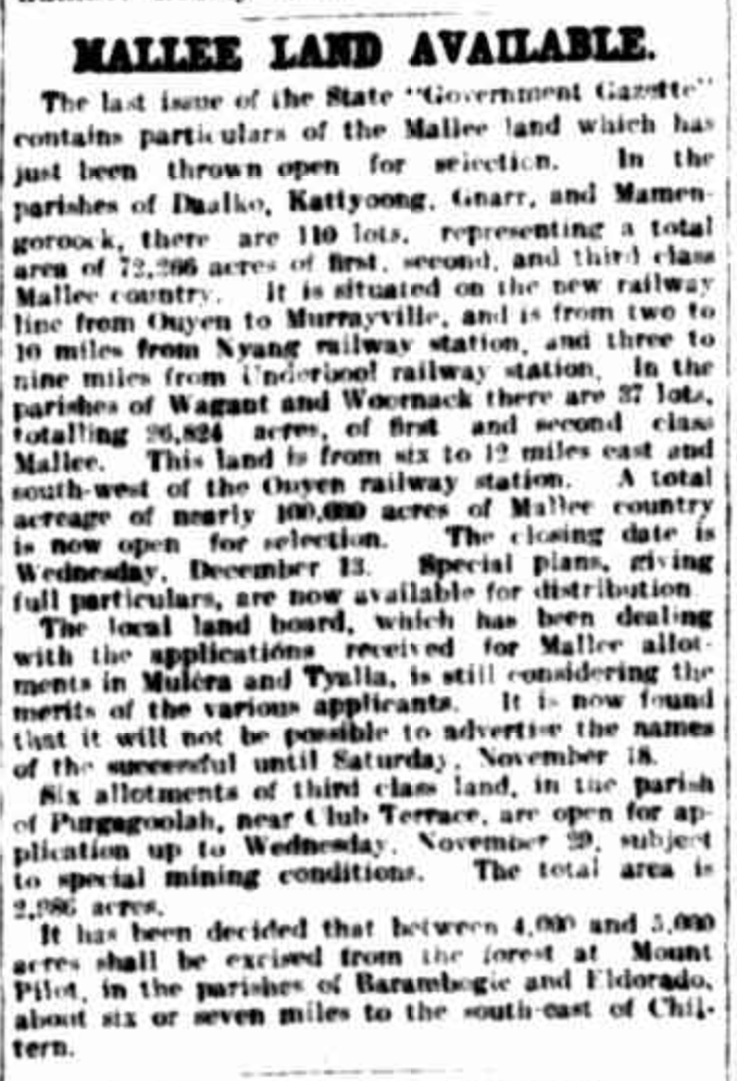
Above:- Article from The Argus, Melbourne, Tues 7 Nov 1911. Image c/o Trove.
The reserve is divided into three sections, as the Underbool-Patchewollock Road and the Welshmans Plain Road pass through the reserve.
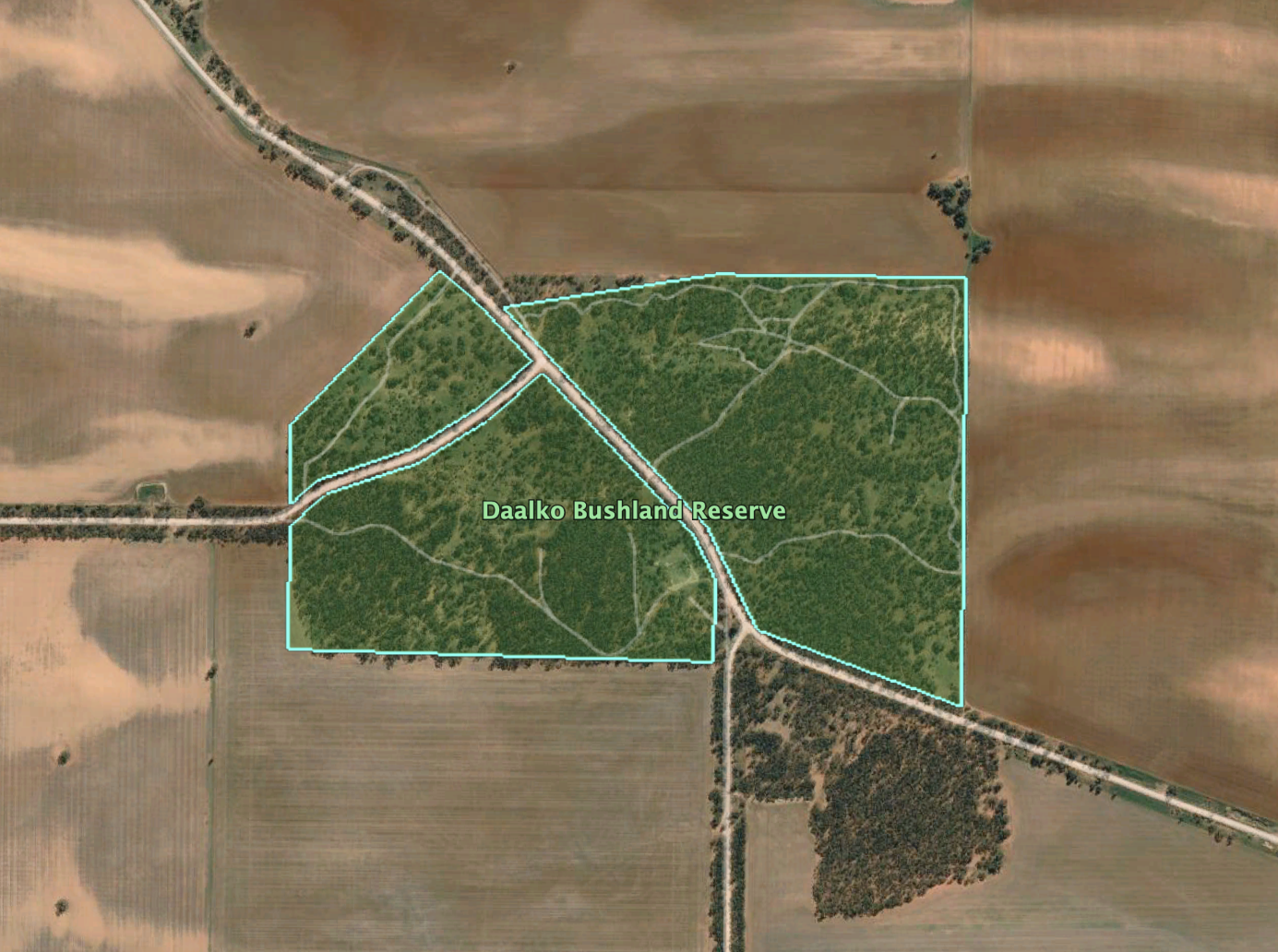
Above:- An aerial view of the reserve. Image c/o Google Earth.
There is a Parks Victoria page for the Daalko Bushland Reserve but it contains no information about the reserve.
The reserve is about 84 hectares in size and was established on the 1st day of May 1979.

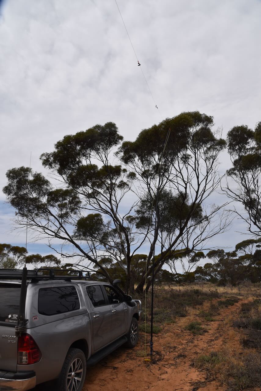
I used the special event call sign of VI10VKFF for this activation. We ran the Yaesu FT857, 40 watts, and the 20/40/80m linked dipole.
Marija worked the following stations on 40m SSB before the UTC rollover:-
Marija worked the following stations on 40m SSB after the UTC rollover:-
Marija worked the following stations on 40m AM:-
I worked the following stations on 40m SSB before the UTC rollover:-
I worked the following stations on 40m SSB after the UTC rollover:-
I worked the following stations on 40m AM:-
I worked the following stations on 20m SSB:-
References.
Our second activation for Sunday 12th November 2024, was the Harrisons Basin Bushland Reserve VKFF-4184. The park is located about 46 km west of Ouyen in northwestern Victoria.
Above:- Map showing the location of Harrisons Basin Bushland Reserve. Map c/o Google Maps.
It was only a short drive to the reserve from our previous activation. As we drove north along McVicar Road we could see the reserve to our east across the paddocks.

The reserve is located on the eastern side of Harrisons Road. There are a number of dirt tracks leading into the reserve.
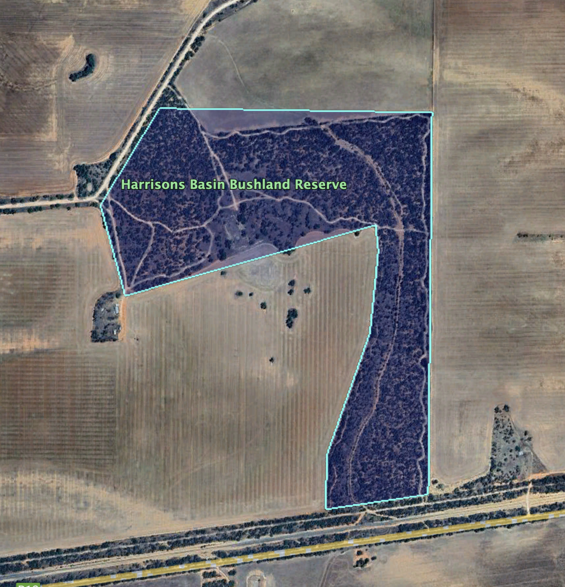
The Parks Victoria website has a page regarding the reserve, but it contains no information other than a boundary image of the reserve.
The reserve is about 57 hectares in size and was established on the 1st day of May 1979.

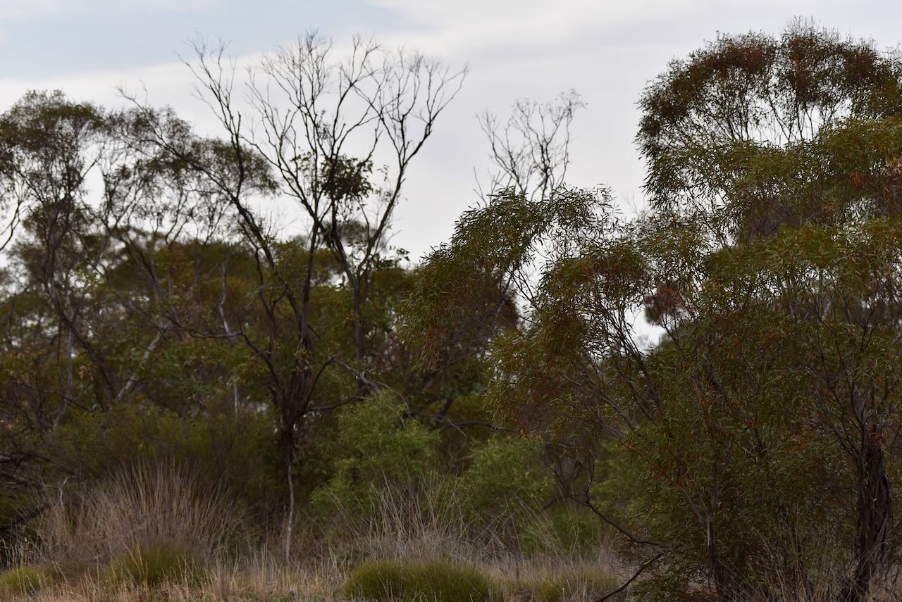
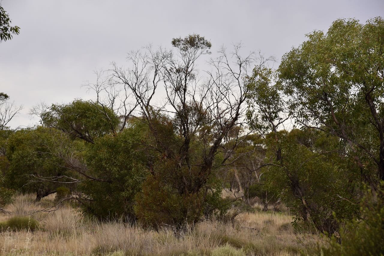

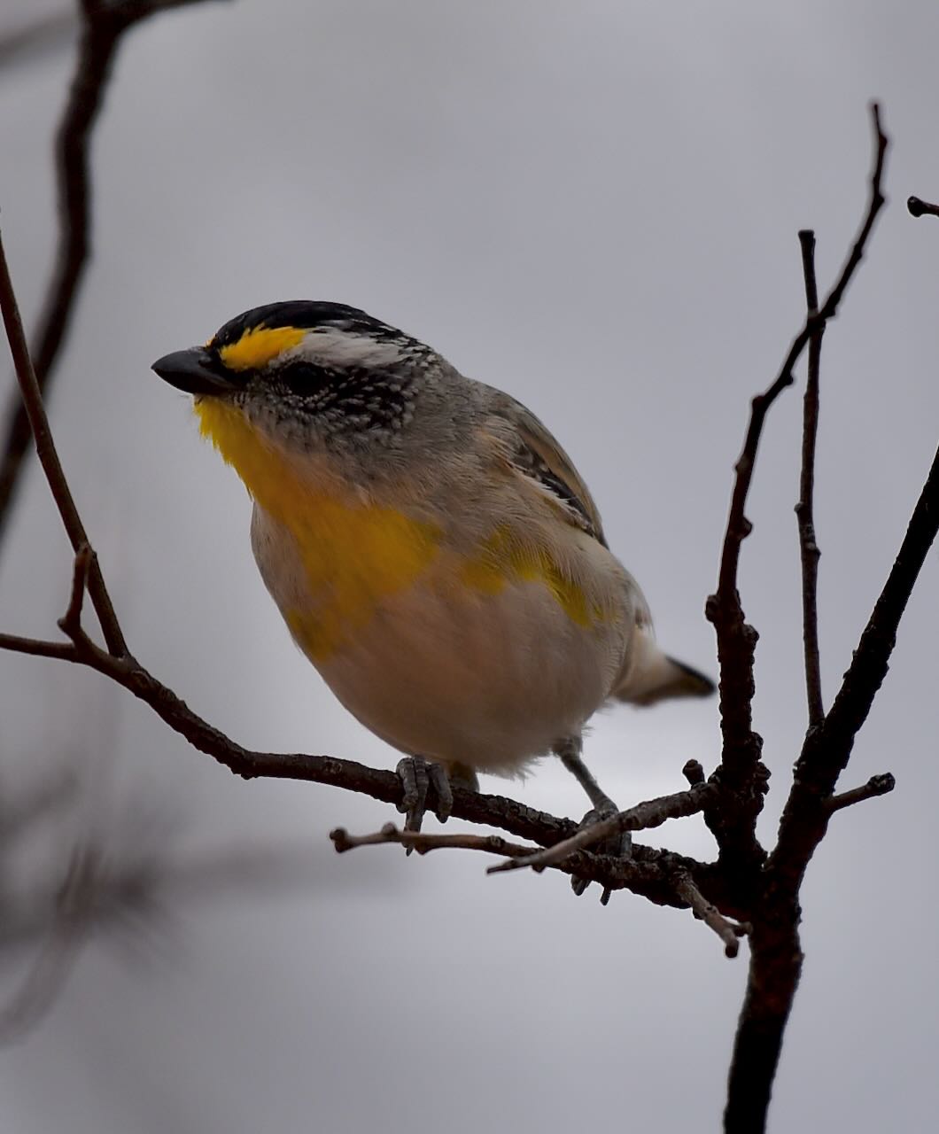
I observed several Rainbow Bee Eaters in the park, but they were too far away and quick for my photographic skills. But I did capture some photos of several Pardolates, a small, brightly coloured little Australian native bird. Pardolate is a Greek word meaning ‘spotted’.
Marija worked the following stations on 40m SSB:-
Marija worked the following stations on 40m AM:-
I worked the following stations on 40m SSB:-
I worked the following stations on 40m AM:-
I worked the following stations on 40m FM:-
I worked the following stations on 20m SSB:-
References.
Our first activation for Sunday 12th November 2023 was the Nyang I238 Bushland Reserve VKFF-4182. The park is located about 44 km west of Ouyen in northwestern Victoria.

Above:- Map showing the location of the Nyang I238 Bushland Reserve. Map c/o Google Maps.
Nyang is an area/Parish in northwestern Victoria. Nyang is an aboriginal word meaning request to sit down.
Above:- the parish of Nyang. Image c/o Mapshare Victoria.
Nyang was once a small town. It is not to be confused with Nyang Homestead and Station which is located near the town of Moulamein.
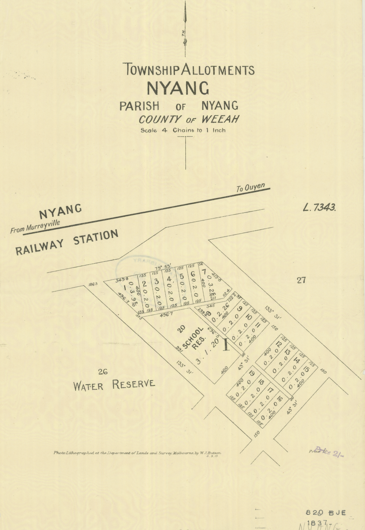
Above:- A plan of the township of Nyang. Image c/o State Library Victoria.
Nyang was once a thriving district and had its own railway station, a Farmers Association, and a Progress Association.
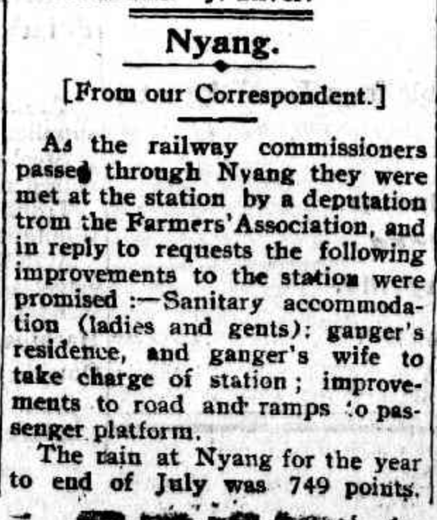
Above:- Article from The Ouyen Mail and Central Mallee Advertiser, Fri 15 Aug 1913. Image co Trove.
The Nyang State School (No. 3871) opened on the 31st day of September 1914 in the Torrita public hall. It was renamed the Torritata State School on the 20th day of October 1921. In 1969 the school closed and the building was moved to Walpeup to be used as an art room.
The Nyang I238 Bushland Reserve is about 2 hectares in size and was established on the 8th day of May 1990. It is located on the northern side of the Mallee Highway at the junction with McVicar Road.

Above:- Aerial shot of the Nyang I238 Bushland Reserve. Image c/o Google Earth.
Parks Victoria has a webpage for this park but it contains no information.
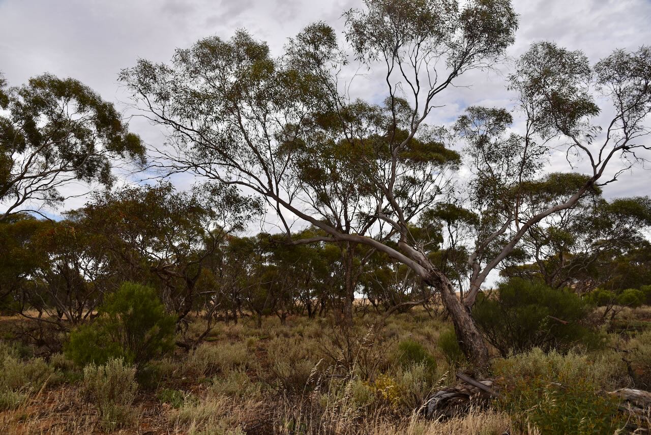
The park has two sections, on either side of McVicar Road. It is a very small piece of remnant mallee scrub and is surrounded by cleared farming land.
We set up the 20/40/80m linked dipole for this activation and ran the Yaesu FT857 and 40 watts output.

Marija worked the following stations on 40m SSB:-
Marija worked the following stations on 40m AM:-
I worked the following stations on 40m SSB:-
I worked the following stations on 40m AM:-
I worked the following stations on 40m FM:-
I worked the following station on 20m SSB:-
References.
After packing up at the Karte Conservation Park, Marija and I headed to Pinnaroo for a quick activation of the Pinnaroo silo VK-PNO5, and then a bite to eat at one of the local hotels, before heading back over the border to Murrayville, Victoria.
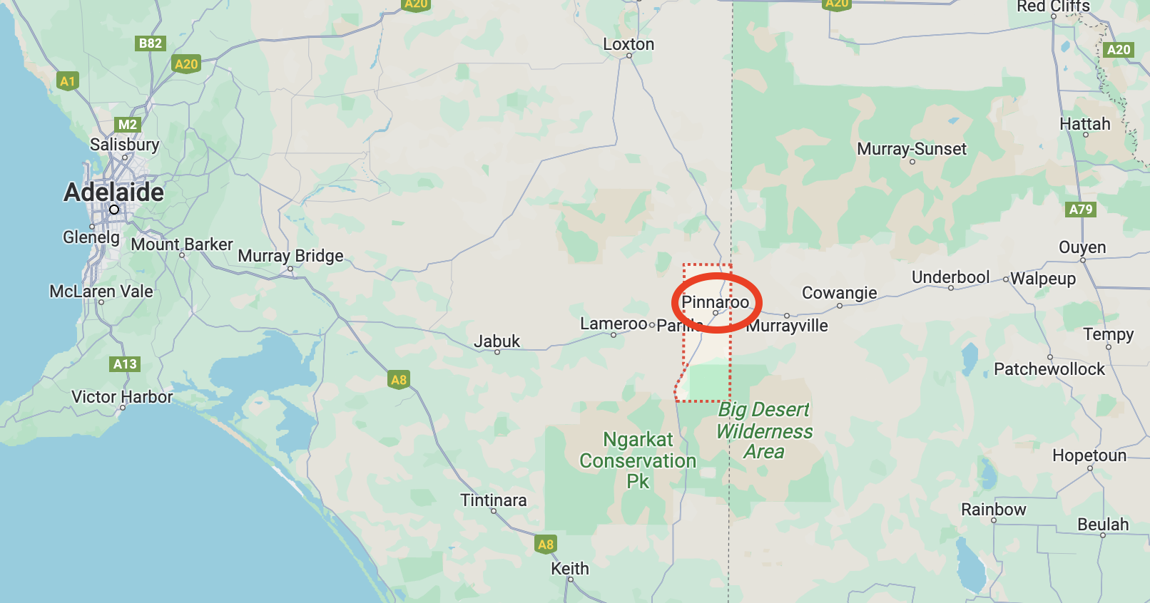
Above:- Map showing the location of Pinnaroo. Map c/o Google Maps.
For a detailed history of Pinnaroo, please see my previous post at….
The Pinnaroo silos are located on Silo Road and are operated by Viterra.

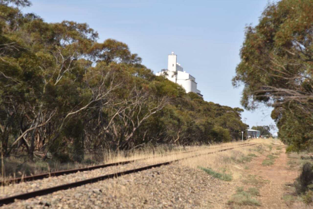

We parked alongside the railway line off Chandos Road.
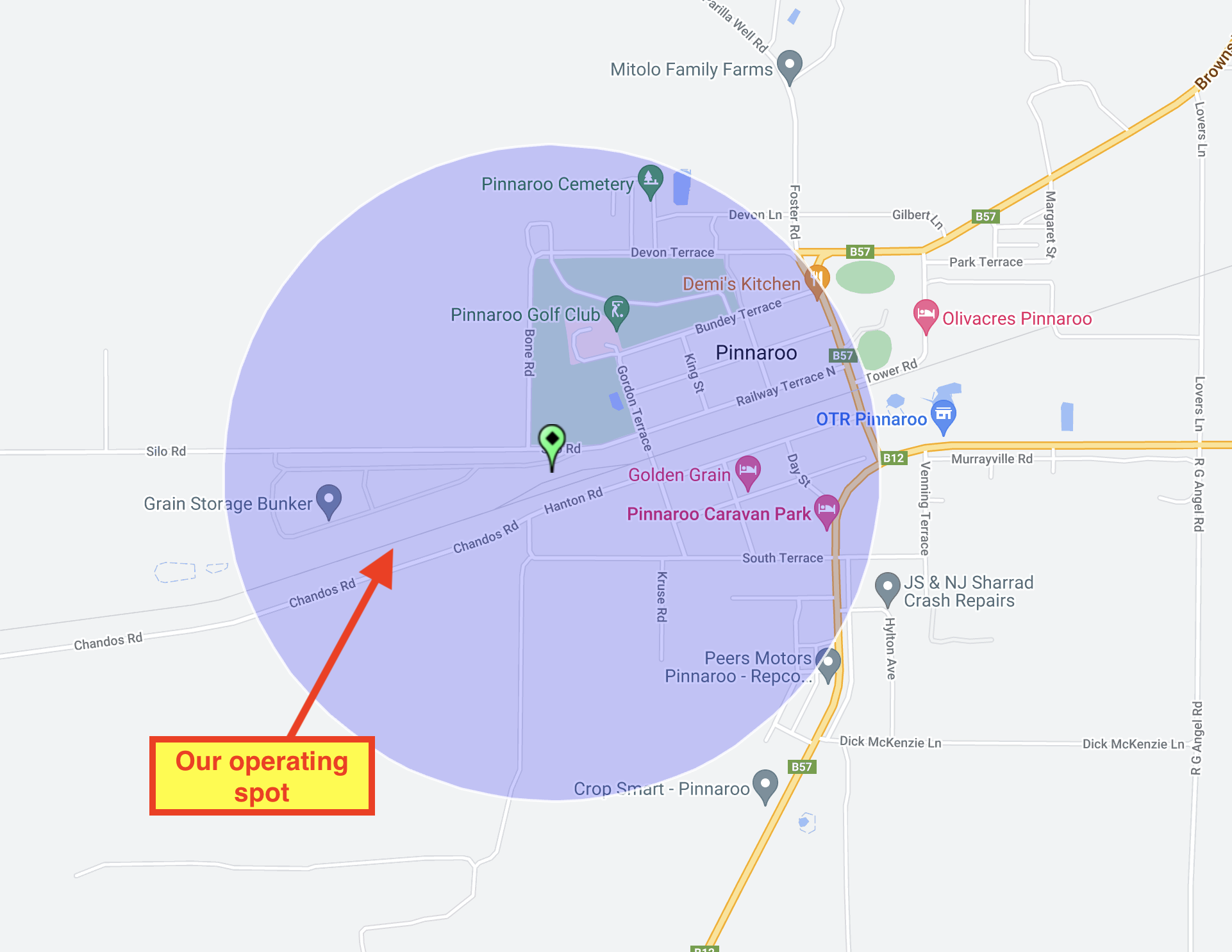
Above:- the activation zone at the Pinnaroo silo. Image c/o SiOTA website.
Marija worked the following stations on 40m SSB:-
I worked the following stations on 40m SSB:-
I worked the following stations on 20m SSB:-
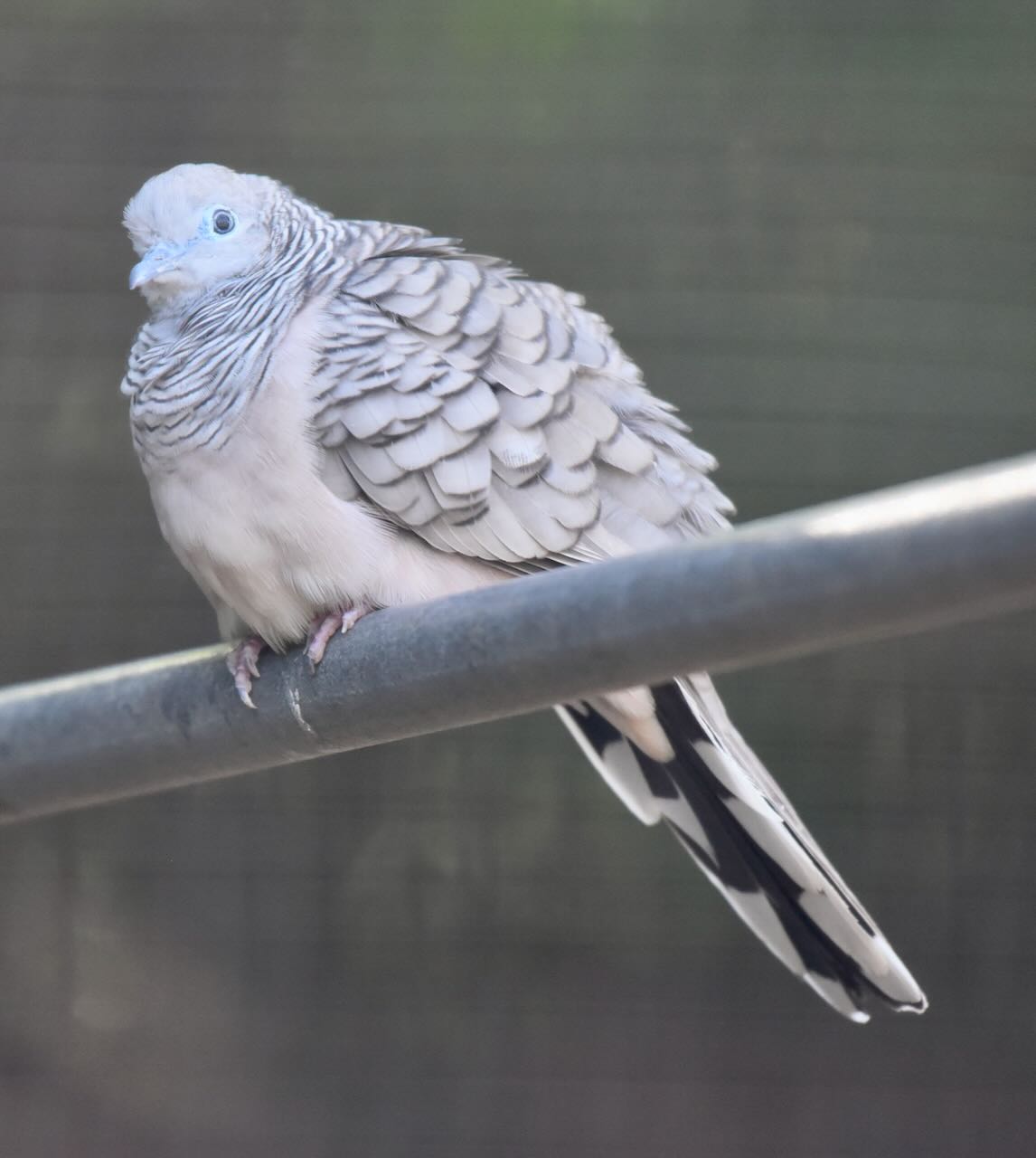
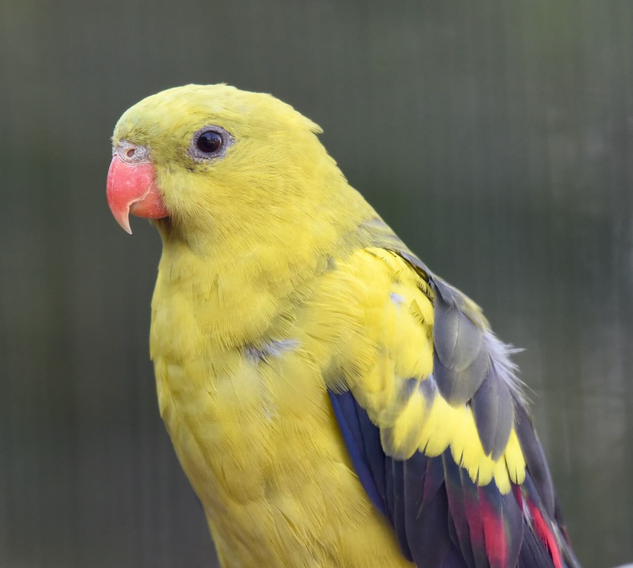
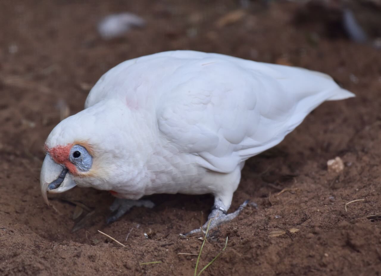
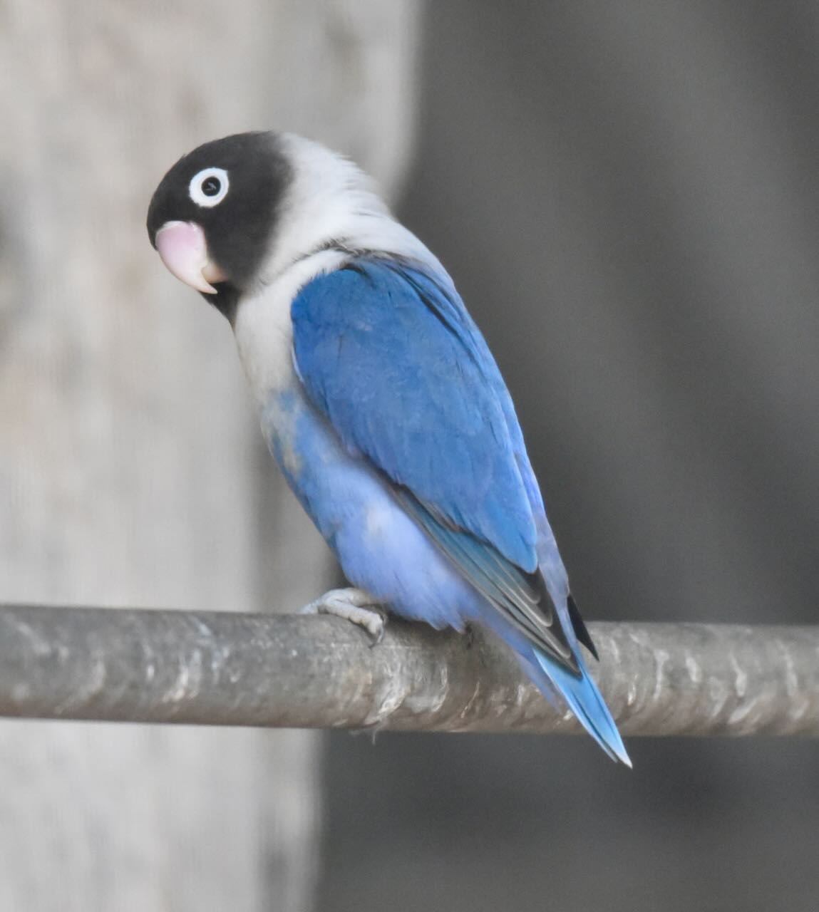
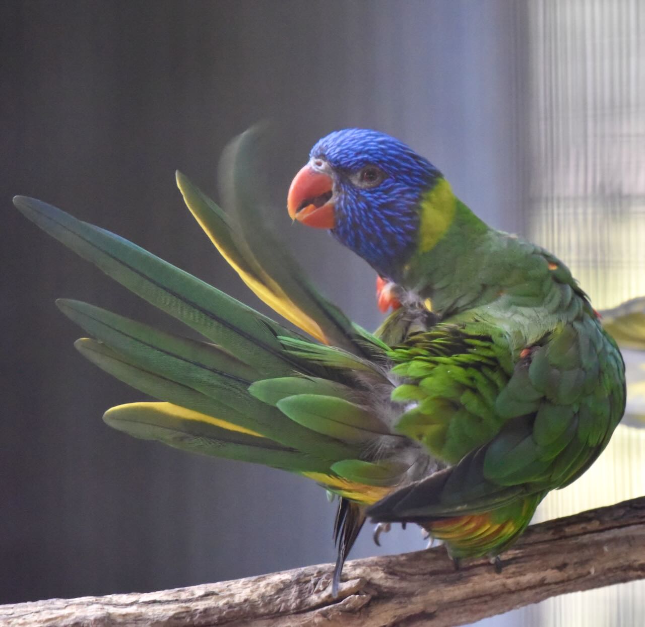
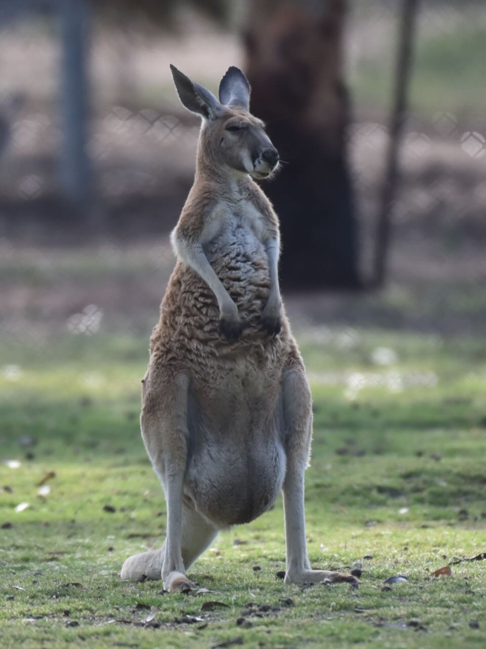
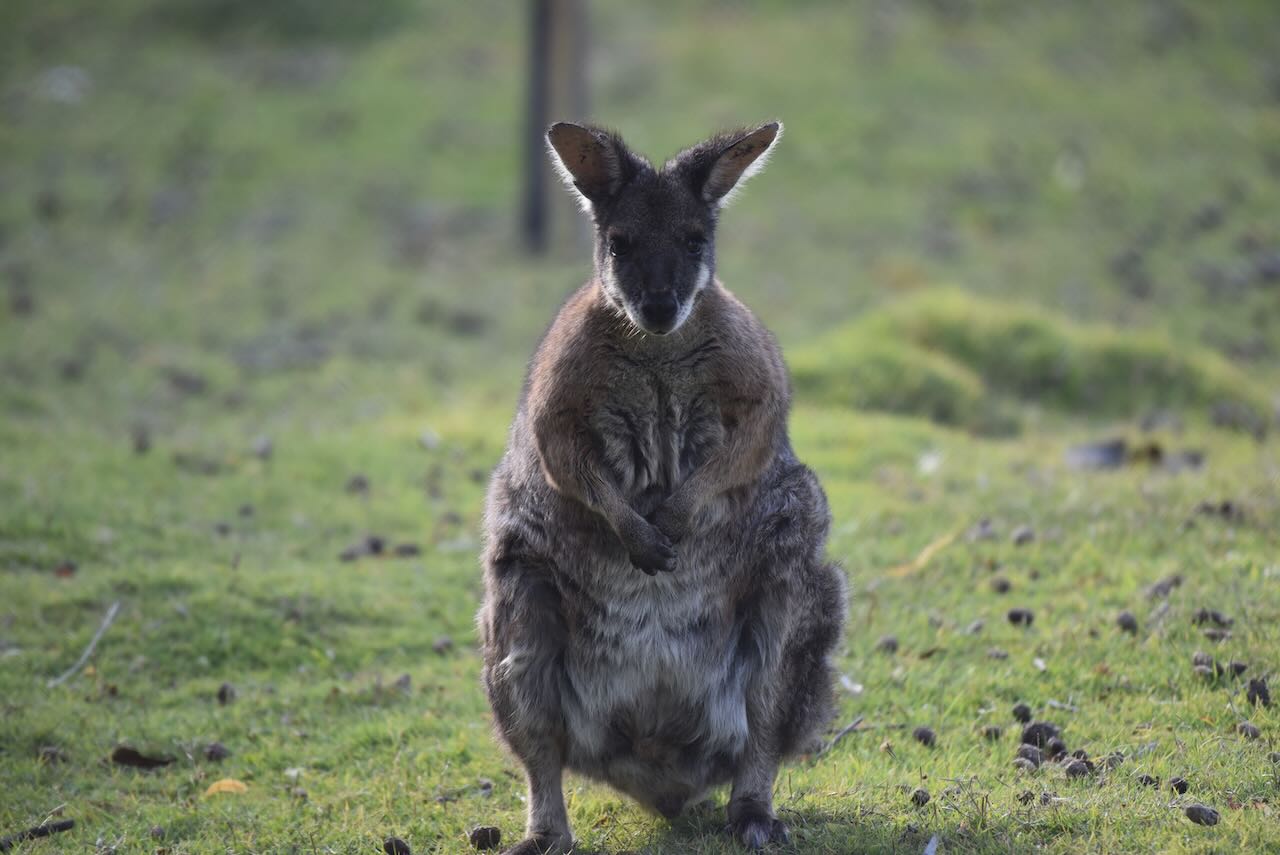
We still had a little bit of time up our sleeve so we visited the Pinnaroo Wildlife Park. We do these each time we visit Pinnaroo and make a small donation. They have a nice collection of Australian birds and animals.


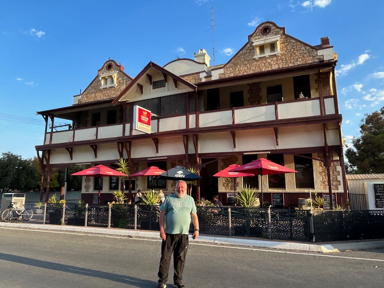
We then had a very nice meal at the Golden Grain Hotel. The hotel was built in 1906 and is Pinnaroo’s oldest hotel. It was originally called the Land of Promise. In 1913 the hotel’s name was changed to the Commercial Hotel. In 1958 it was renamed the Golden Grain Hotel.
Following our meal we drove back to our accommodation at Murrayville.
References.
After leaving Peebinga, Marija and I headed to our final park activation for the day, the Karte Conservation Park VKFF-0898. Karte is about 239 km east of Adelaide.
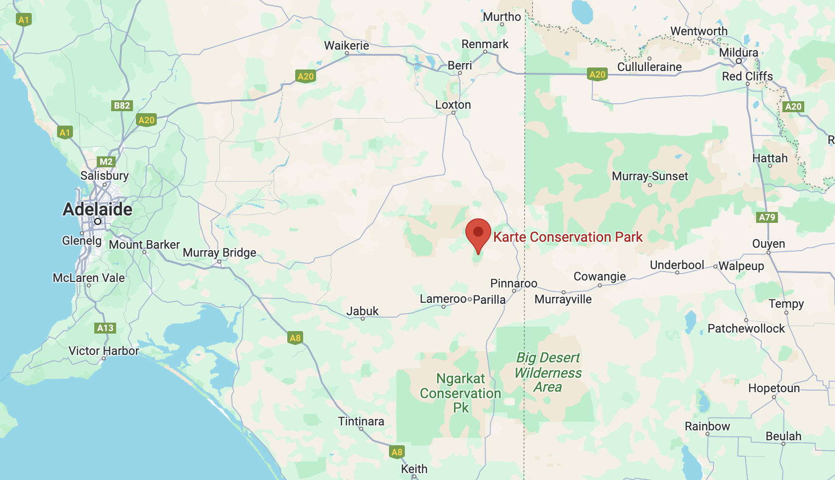
Above:- Map showing the location of the Karte Conservation Park. Map c/o Google Maps.
Karte is a former town and a locality close to the South Australia/Victoria State border. The town of Karte was proclaimed on the 8th day of June 1916. The town was located to the immediate northwest of the Karte Railway Station. The town was named after the railway station which was located on the Peebinga railway line. Karte is an aboriginal word meaning ‘low thick scrub’.
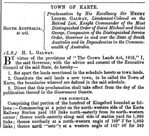
Above:- The gazettal of the town of Karte, SA Govt Gazette, June 8 1916.
Karte was once a flourishing community and had a school. a post office, a hall, a railway gangers barracks, and a eucalyptus distillery.
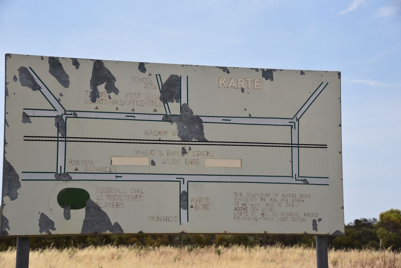
Karte had its own tennis netball, cricket and football clubs.
Above:- Article from the Pinnaroo and Border Times, Fri 17 Jun 1927. Image c/o Trove.
The park is well-signposted at the junction of Karte Road and Settlers Road.

Karte Conservation Park was formerly the Karte National Park, proclaimed on the 4th day of September 1969. On the 27th day of April 1972, it was reconstituted as the Karte Conservation Park.
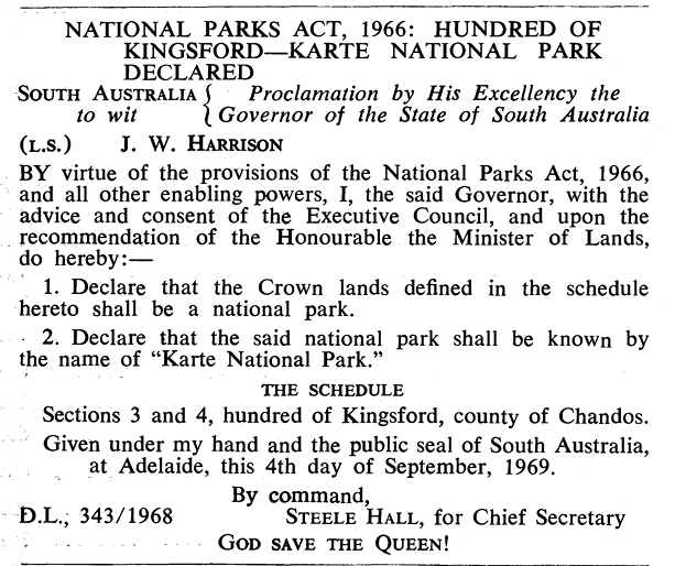
Above:- The proclamation of the park, SA Govt Gazette, 4th September 1969.
The park is about 3,564 hectares in size with the entire area being considered undesirable for agricultural purposes. It is believed that no grazing has ever taken place in the park and that none of the park has ever been cleared. The park consists of mallee heath and shrubland.

Above:- The Karte Conservation Park. Image c/o Google Earth.
Birds SA have recorded a total of 88 species of bird in the park including Common Bronzewing, Grey Butcherbird, Black-backed Fairywren, Malleefowl, Inland Thornbill, and Southern Scrub Robin.


We parked in the Karte campground and set up the 20/40/80m linked dipole, supported on the 7-metre heavy-duty squid pole. We ran the Yaesu FT857 and 40 watts.
We ended up with 84 QSOs including 20 Park to Park contacts.
Marija worked the following stations on 40m SSB:-
I worked the following stations on 40m SSB:-
I worked the following stations on 20m SSB:-
I worked the following station on 20m AM:-
References.
Amateur Radio, Short Wave Listening, travel and history
Amateur radio experiences with VK1DA
Brisbane - Australia
german amateur radio station
Summits On The Air
SOTA on the peaks, wilderness QRP and some bushwalking
A fine WordPress.com site
Amateur Radio Adventures
Summits on the Ai
Amateur radio station from Belgium
Radio craft, homebrew, QRP/SOTA, AM
Ego loqui ad viros super montes
My adventures with Amateur Radio and Geocaching!
The rantings of VK2GAZ on his SOTA experiences in Australia
A survivor, with minor cuts and abrasions.
The Art and Craft of Blogging
The latest news on WordPress.com and the WordPress community.
Blog of Justin Giles-Clark VK7TW's SOTA and amateur radio adventures.
Occasional SOTA & Microwave operation
