
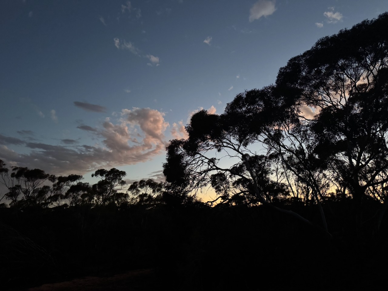
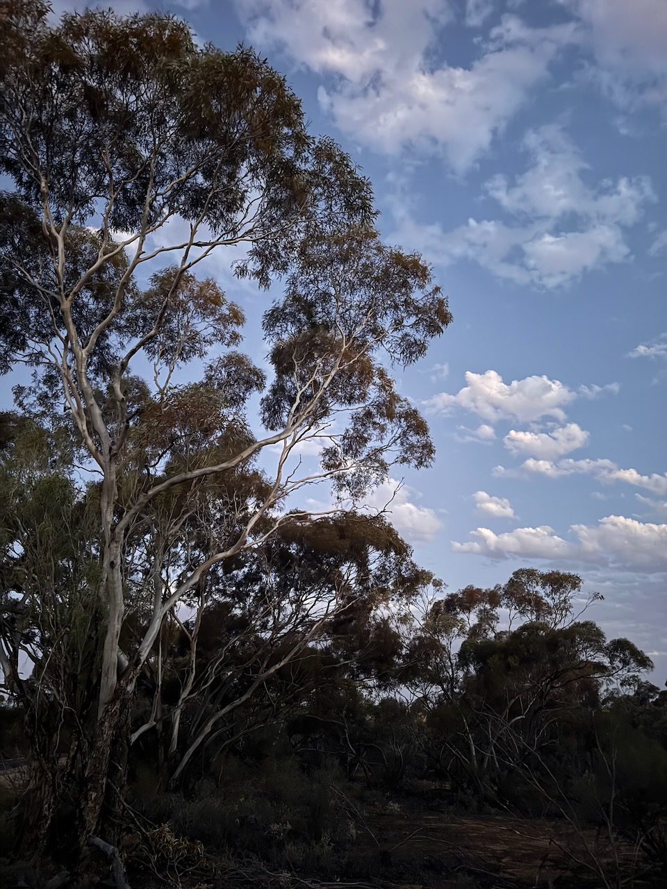
After dinner on Friday, the 7th day of November 2025, Marija and I headed southwest out of Ouyen along the Ouyen-Patchewollock Road to the Hopkins Tank Bushland Reserve VKFF-4199.
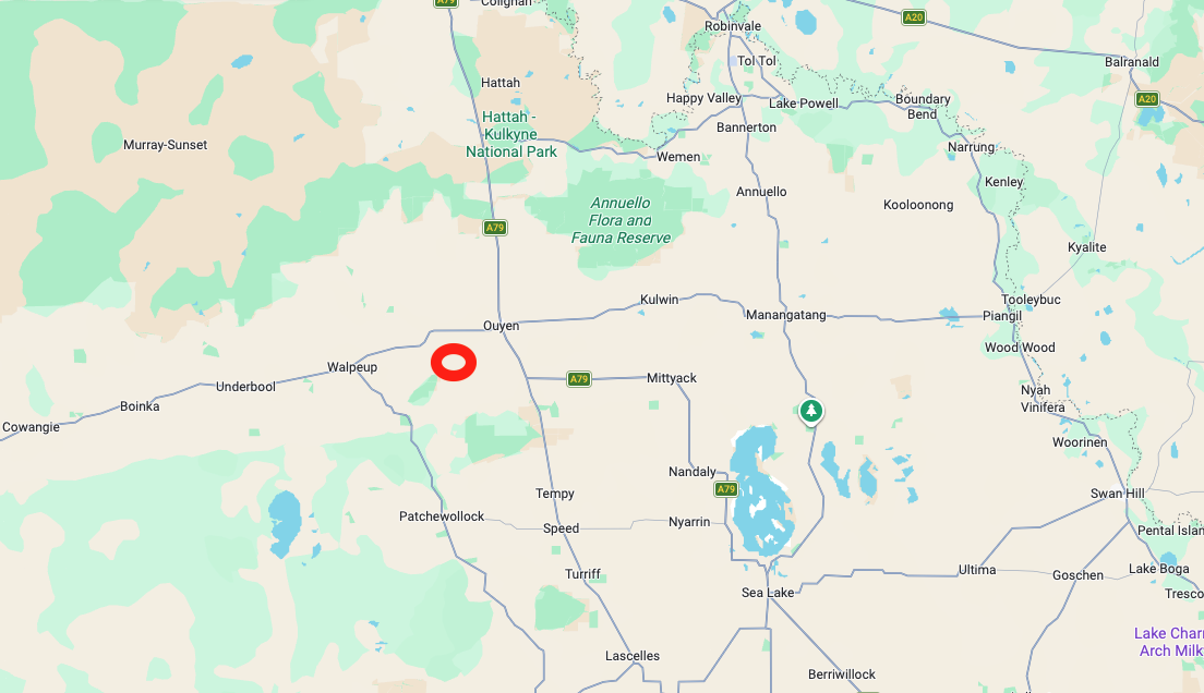
Above: Map showing the location of Hopkins Tank Bushland Reserve. Map c/o Google Maps
The reserve is located on the northern and southern sides of the Outehn-Patchewollock Road. Its eastern boundary is Weir Road. Its western boundary is Arbuckle Road.
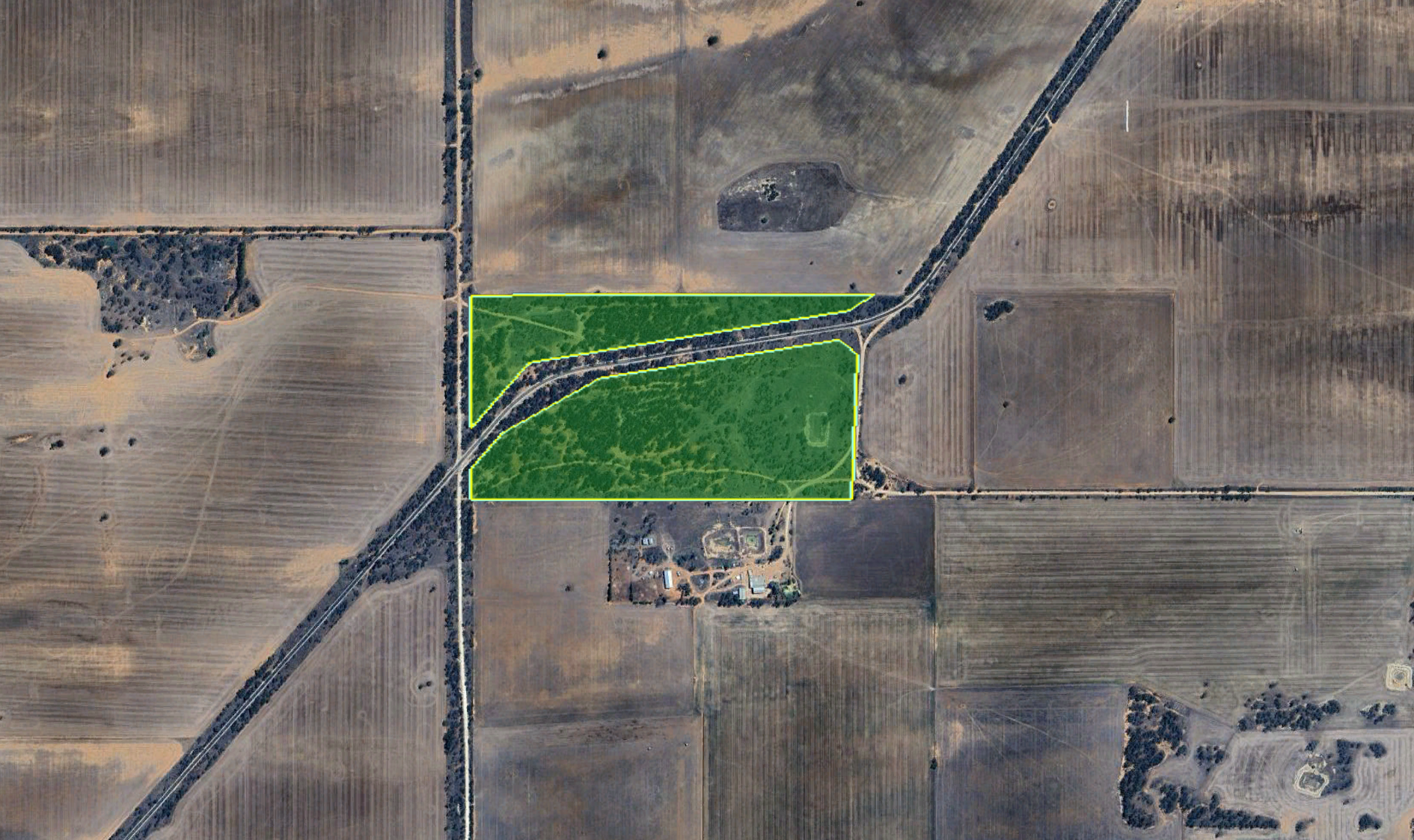
Above: the boundaries of Hopkins Tank Bushland Reserve. Image c/o Google Earth
The reserve is about 35 hectares in size and was established on the 1st day of May 1979. (Dcceew.gov.au 2025)
Marija and I an the Yaesu FT857, 40 watts, and the 20/40/80m linked dipole for this activation.
Unfortunately, we experienced very loud static crashes on the 40m band.
Marija worked the following stations on 40m SSB:-
- VK3PF
- VK3KAI
- VK4EMP
- VK4TI
- VK4GKO
- VK3ZPF
- VK3JW
- VK3PJF
- VK5GY
- VK5CS
I worked the following stations on 40m SSB:-
- VK3PF
- VK3KAI
- VK4EMP
- VK4TI
- VK4GKO
- VK3ZPF
- VK3JW
- VK3PJF
- VK5GY
- VK5CS
- VK3JOC
- VK3WSG
- VK3SQ
- VK3JT
- VK2BD
- VK2HRX
References.
- Dcceew.gov.au. (2025). Collaborative Australian Protected Areas Database 2024 – DCCEEW. [online] Available at: https://www.dcceew.gov.au/environment/land/nrs/science/capad/2024. [Accessed 19 Apr. 2026]
