Boulka I107 Bushland Reserve VKFF-4223

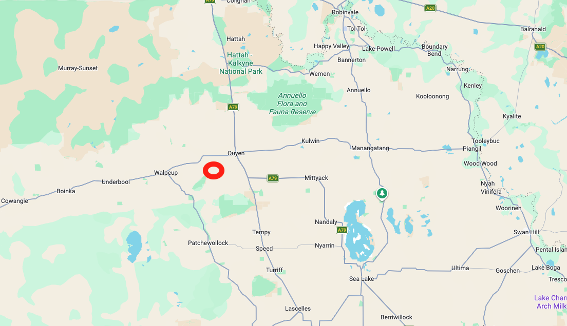
Our final activation for Friday, the 7th day of November 2025, was the Boulka I107 Bushland Reserve VKFF-4223. The park is located about 18 km south of Ouyen in northwest Victoria.
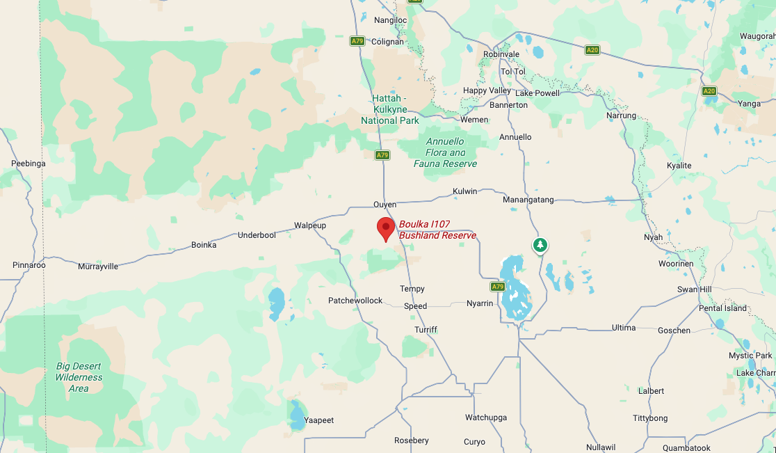
Above: Map showing the location of Boulka I107 Bushland Reserve. Map c/o Google Maps

The reserve is located on the northern and southern sides of Calamity Tank Road.
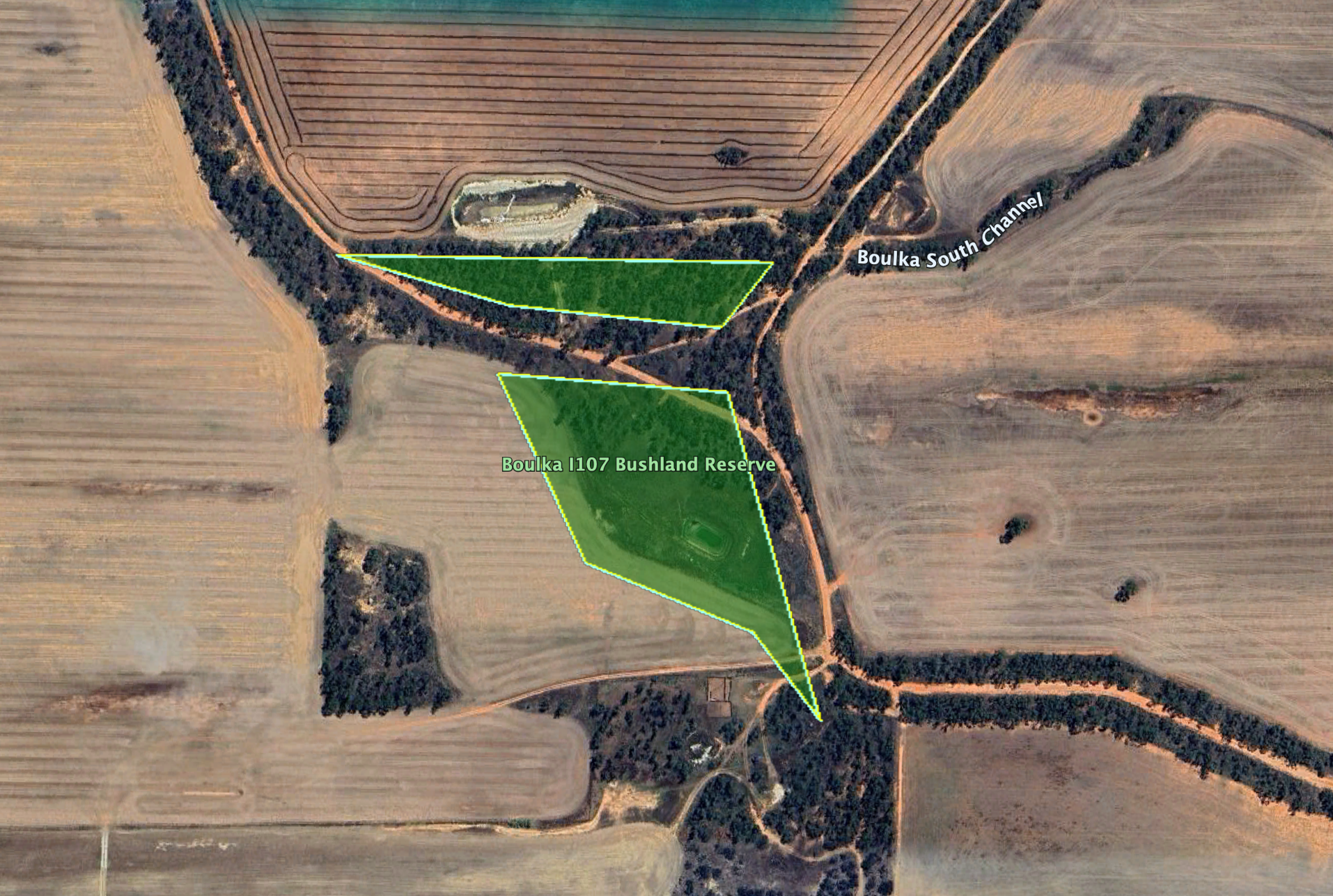
Boulka is an Aboriginal word meaning gum tree fringe by lake. The reserve is about 6 hectares in size and was established on the 1st day of May 1979. (Blake 1977) (Dcceew.gov.au 2025)
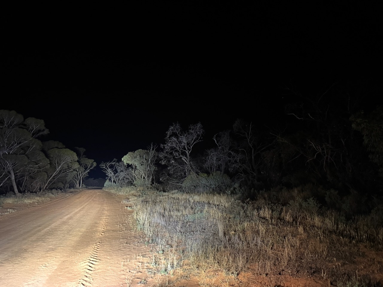
It was totally dark by the time we reached the park. We strung out the 20/40/80 m linked dipole and ran the Yaesu FT857 with 40 watts output.

Marija worked the following stations on 40m SSB:-

  1. VK3SQ
  2. VK3JT
  3. VK2BD
  4. VK2HRX
  5. VK3WSG
  6. VK3PF
  7. VK3KAI
  8. VK2DA
  9. VK1DA
  10. VK3GJG
  11. VK2EG
  12. VK2AAJ
  13. VK5GY
  14. VK5CS
  15. VK2VW
  16. VK2HFI
  17. VK2AKA
  18. VK2BUG

I worked the following stations on 40m SSB:-

  1. VK3SQ
  2. VK3JT
  3. VK2BD
  4. VK2HRX
  5. VK3WSG
  6. VK3PF
  7. VK3KAI
  8. VK2DA
  9. VK1DA
  10. VK3GJG
  11. VK2EG
  12. VK2AAJ
  13. VK5GY
  14. VK5CS
  15. VK2VW
  16. VK2HFI
  17. VK2AKA
  18. VK2BUG
  19. VK2MG
  20. VK2DXX
  21. VK5AYL
  22. VK4MRH
  23. VK4ERH
  24. VK2KJH
  25. VK4DNO
  26. VK3DNO
  27. VK3APJ
  28. VK5HS
  29. VK5DOC

References.

  1. Blake, L, 1977, Place Names of Victoria
  2. Dcceew.gov.au. (2025). Collaborative Australian Protected Areas Database 2024 – DCCEEW. [online] Available at: https://www.dcceew.gov.au/environment/land/nrs/science/capad/2024. [Accessed 19 Apr. 2026]‌

Hopkins Tank Bushland Reserve VKFF-4199

After dinner on Friday, the 7th day of November 2025, Marija and I headed southwest out of Ouyen along the Ouyen-Patchewollock Road to the Hopkins Tank Bushland Reserve VKFF-4199.

Above: Map showing the location of Hopkins Tank Bushland Reserve. Map c/o Google Maps

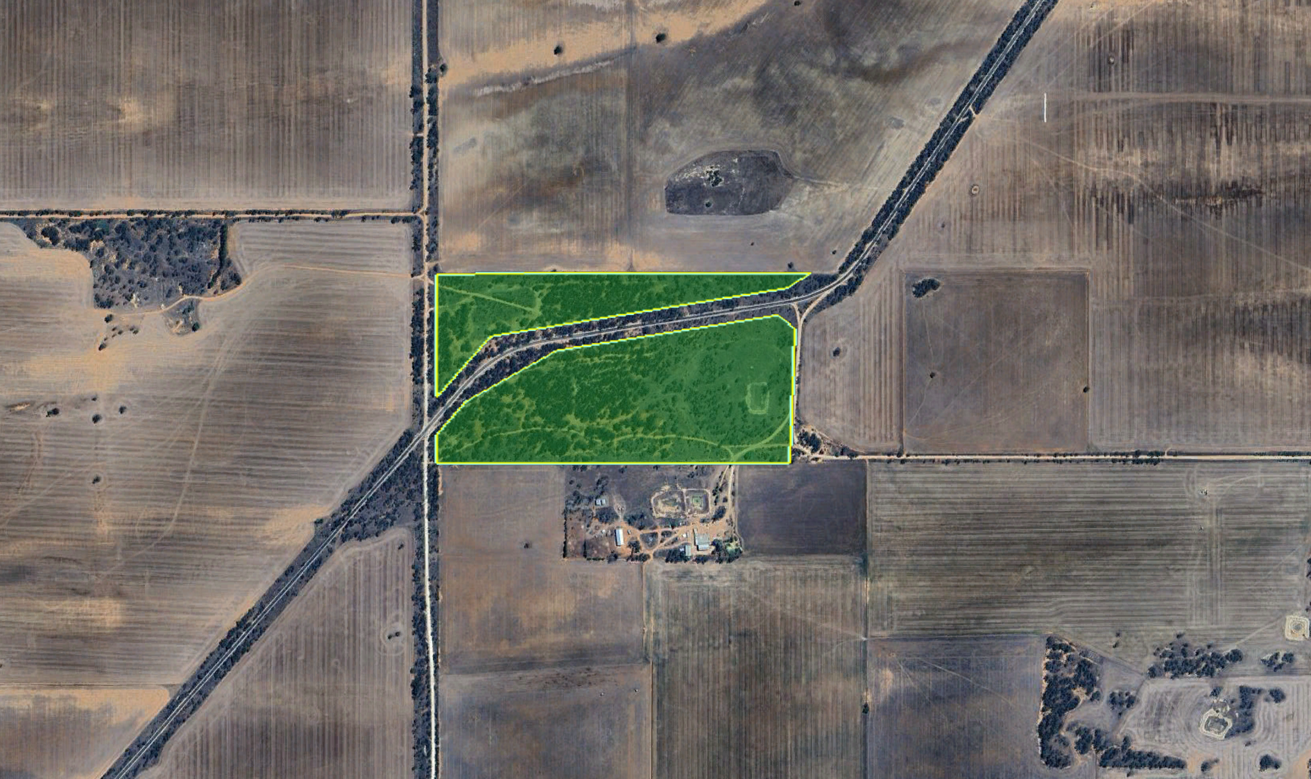
The reserve is located on the northern and southern sides of the Outehn-Patchewollock Road. Its eastern boundary is Weir Road. Its western boundary is Arbuckle Road.

Above: the boundaries of Hopkins Tank Bushland Reserve. Image c/o Google Earth

The reserve is about 35 hectares in size and was established on the 1st day of May 1979. (Dcceew.gov.au 2025)

Marija and I an the Yaesu FT857, 40 watts, and the 20/40/80m linked dipole for this activation.

Unfortunately, we experienced very loud static crashes on the 40m band.

Marija worked the following stations on 40m SSB:-

  1. VK3PF
  2. VK3KAI
  3. VK4EMP
  4. VK4TI
  5. VK4GKO
  6. VK3ZPF
  7. VK3JW
  8. VK3PJF
  9. VK5GY
  10. VK5CS

I worked the following stations on 40m SSB:-

  1. VK3PF
  2. VK3KAI
  3. VK4EMP
  4. VK4TI
  5. VK4GKO
  6. VK3ZPF
  7. VK3JW
  8. VK3PJF
  9. VK5GY
  10. VK5CS
  11. VK3JOC
  12. VK3WSG
  13. VK3SQ
  14. VK3JT
  15. VK2BD
  16. VK2HRX

References.

  1. Dcceew.gov.au. (2025). Collaborative Australian Protected Areas Database 2024 – DCCEEW. [online] Available at: https://www.dcceew.gov.au/environment/land/nrs/science/capad/2024. [Accessed 19 Apr. 2026]‌

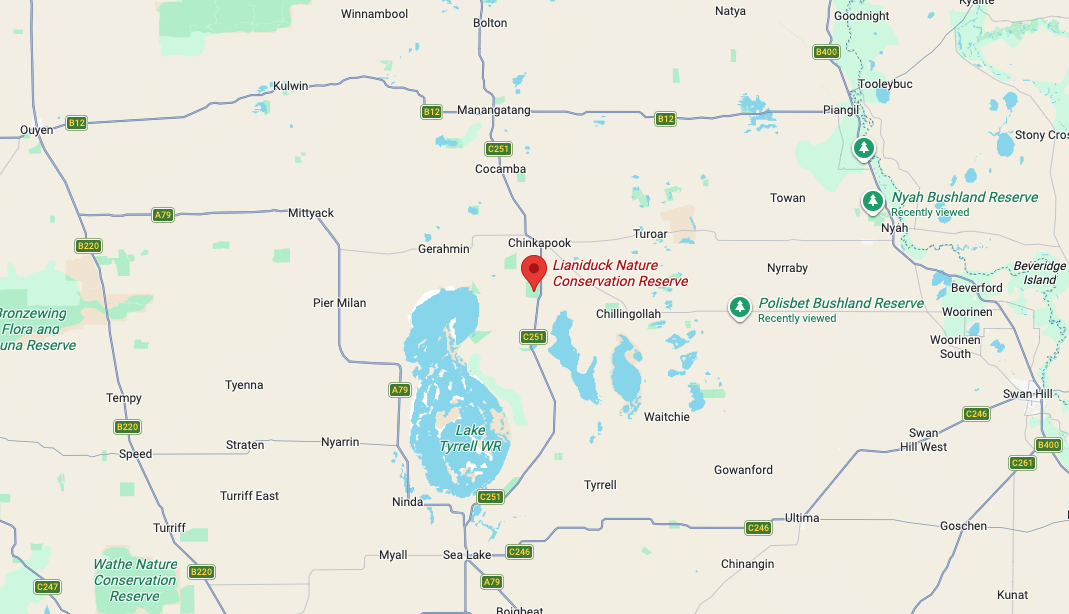
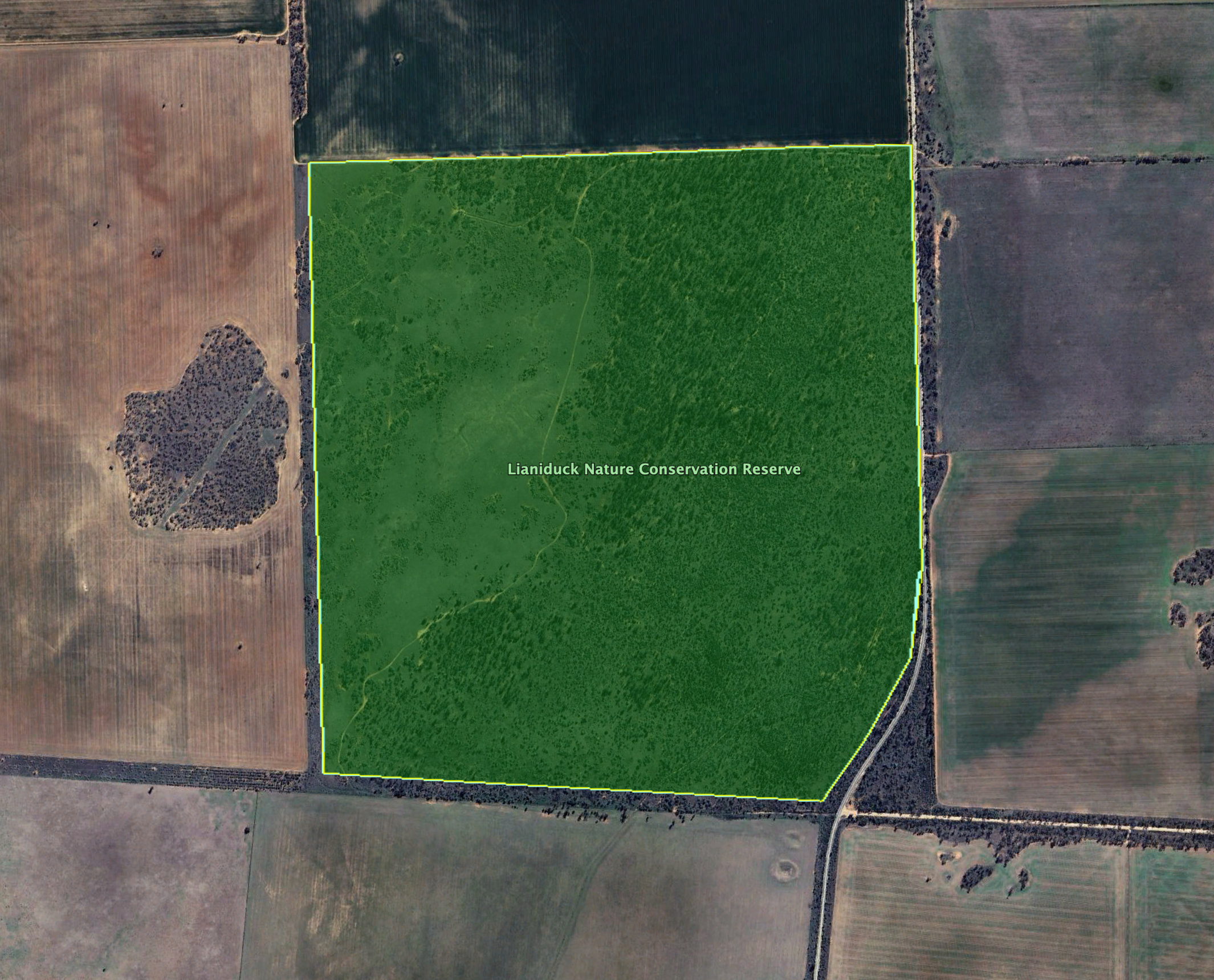
Lianiduck Nature Conservation Reserve VKFF-2368

After leaving the Chinkapook Nature Conservation Park on Friday, the 7th day of November 2025, Marija and I headed a short distance to our next park, the Lianiduck Nature Conservation Reserve VKFF-2368.

The reserve is located on the western side of Robinvale-SeaLake Road, at the junction with Lake Wahpool Road.

Lianiduck is believed to derive from the Aboriginal word liangeduck, meaning teeth. The Lianiduck Nature Conservation Reserve is about 306 hectares in size and was established on the 1st day of May 1979. (Blake 1977) (Dcceew.gov.au 2025)

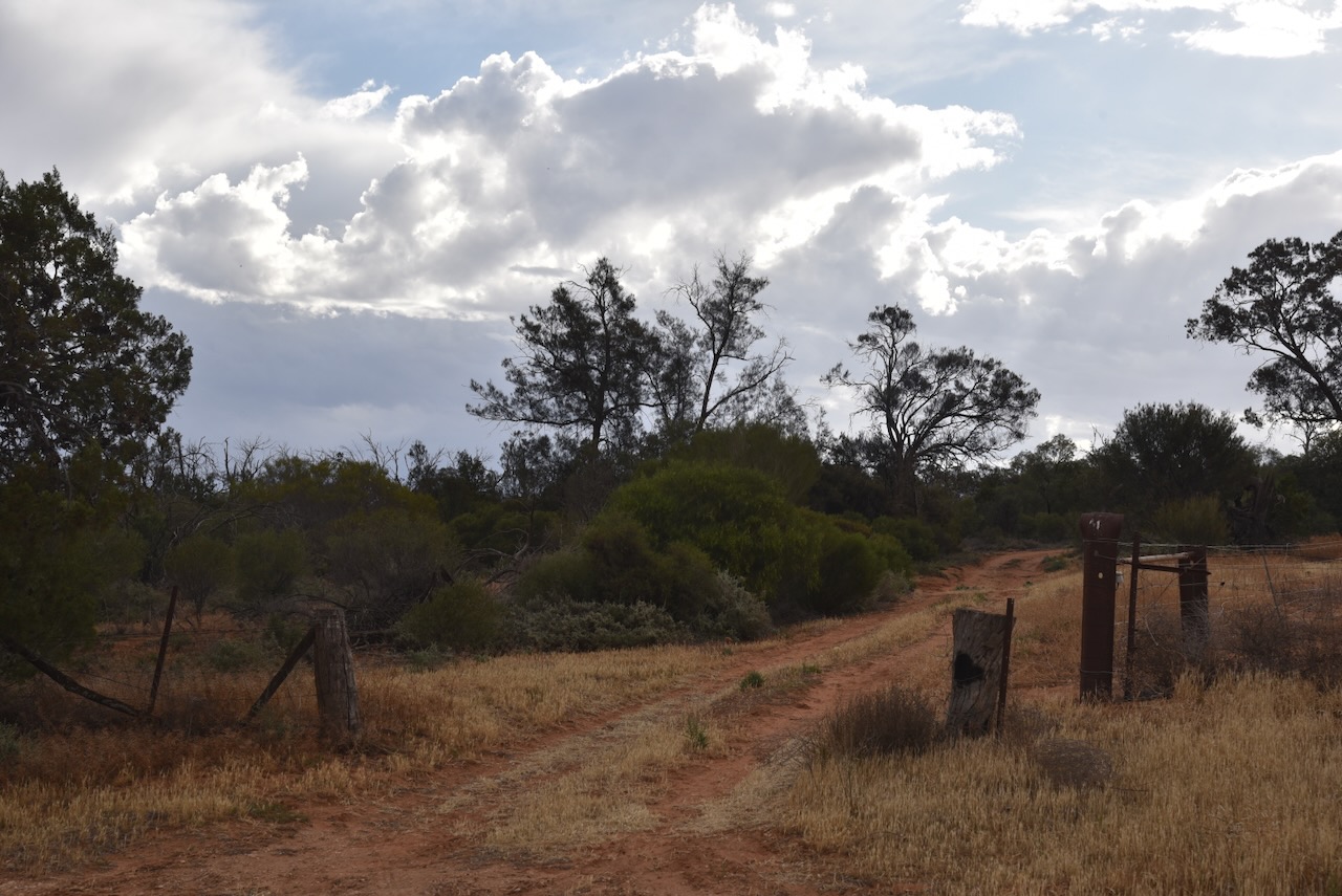
This was an easy park to access. We found a dirt track leading into the park. Marija and I ran the Yaesu FT857, 40 watts, and the 20/40/80m linked dipole.

Marija worked the following stations on 40m SSB:-

  1. VK2YK
  2. VK5GA
  3. VK3PF
  4. VK3KAI
  5. VK2ZR
  6. VK2AZR
  7. VK2ZRX
  8. VK5FANA
  9. VK1AO
  10. VK2MET

I worked the following stations on 40m SSB:-

  1. VK2YK
  2. VK5GA
  3. VK3PF
  4. VK3KAI
  5. VK2ZR
  6. VK2AZR
  7. VK2ZRX
  8. VK5FANA
  9. VK1AO
  10. VK2MET
  11. VK3EJ
  12. VK2NP
  13. VK3MGM
  14. VK3FFA
  15. VK3MTT
  16. VK1DI
  17. VK2VW
  18. VK2HFI
  19. VK2AKA
  20. VK2BUG
  21. VK5LA
  22. VK5KAW
  23. VK2EXA
  24. VK2DA
  25. VK1DA
  26. VK1FM
  27. VK5DMO
  28. VK2MAB
  29. VK3IDK

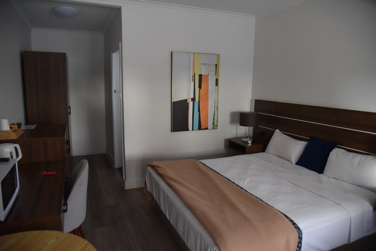
After packing up, we drove to Ouyen and booked into our accommodation.

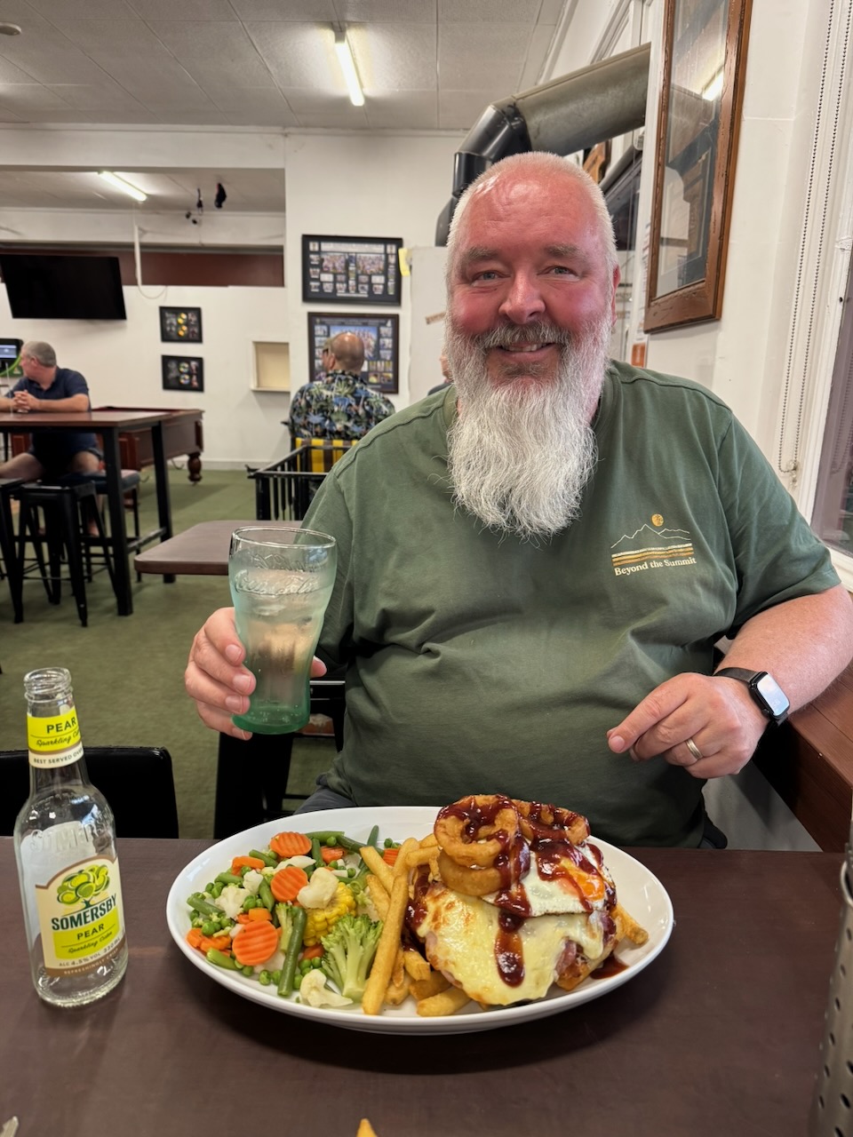
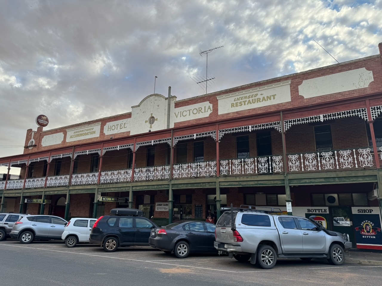
We then headed out to the Victoria Hotel at Ouyen, where we enjoyed a very nice meal.

After dinner, we decided to activate a few more parks, rather than spending the evening watching TV in the motel room.

References.

  1. Blake; L, 1977, Place Names of Victoria
  2. Dcceew.gov.au. (2025). Collaborative Australian Protected Areas Database 2024 – DCCEEW. [online] Available at: https://www.dcceew.gov.au/environment/land/nrs/science/capad/2024. [Accessed 19 Apr. 2026]‌