
Our final activation for Friday, the 7th day of November 2025, was the Boulka I107 Bushland Reserve VKFF-4223. The park is located about 18 km south of Ouyen in northwest Victoria.
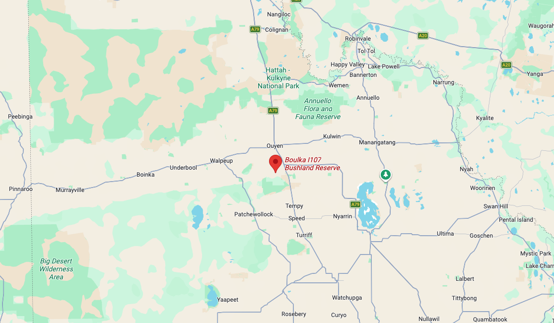
Above: Map showing the location of Boulka I107 Bushland Reserve. Map c/o Google Maps
The reserve is located on the northern and southern sides of Calamity Tank Road.
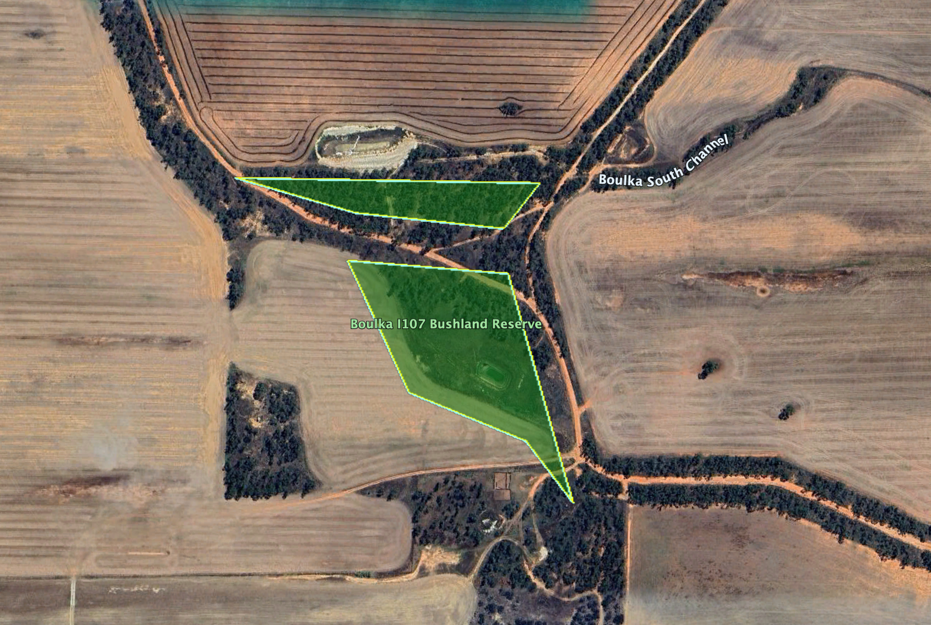
Boulka is an Aboriginal word meaning gum tree fringe by lake. The reserve is about 6 hectares in size and was established on the 1st day of May 1979. (Blake 1977) (Dcceew.gov.au 2025)
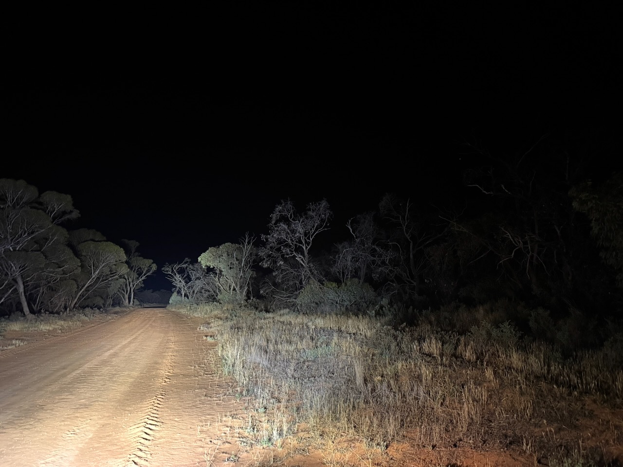
It was totally dark by the time we reached the park. We strung out the 20/40/80 m linked dipole and ran the Yaesu FT857 with 40 watts output.
Marija worked the following stations on 40m SSB:-
- VK3SQ
- VK3JT
- VK2BD
- VK2HRX
- VK3WSG
- VK3PF
- VK3KAI
- VK2DA
- VK1DA
- VK3GJG
- VK2EG
- VK2AAJ
- VK5GY
- VK5CS
- VK2VW
- VK2HFI
- VK2AKA
- VK2BUG
I worked the following stations on 40m SSB:-
- VK3SQ
- VK3JT
- VK2BD
- VK2HRX
- VK3WSG
- VK3PF
- VK3KAI
- VK2DA
- VK1DA
- VK3GJG
- VK2EG
- VK2AAJ
- VK5GY
- VK5CS
- VK2VW
- VK2HFI
- VK2AKA
- VK2BUG
- VK2MG
- VK2DXX
- VK5AYL
- VK4MRH
- VK4ERH
- VK2KJH
- VK4DNO
- VK3DNO
- VK3APJ
- VK5HS
- VK5DOC
References.
- Blake, L, 1977, Place Names of Victoria
- Dcceew.gov.au. (2025). Collaborative Australian Protected Areas Database 2024 – DCCEEW. [online] Available at: https://www.dcceew.gov.au/environment/land/nrs/science/capad/2024. [Accessed 19 Apr. 2026]
