
The weather on day two of our trip (Saturday 29th October 2022) was much more pleasing than the weather we were greeted with on our arrival in Devonport. The showers had cleared and it was a nice sunny day.
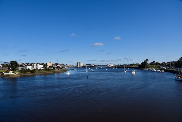
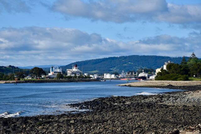
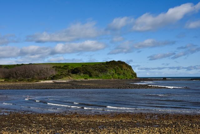
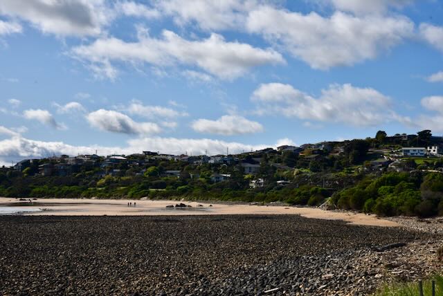
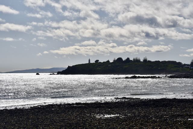
After breakfast we headed down to Coles Beach to enjoy the view with the sun shining. The day before it was cold, blustery and raining, and we didn’t really get to enjoy the view of the coastline. Prior to getting to Coles Beach we stopped at the foreshore of the Mersey River on Victoria Parade. Compared to the miserable conditions of the day before, this day we were enjoying sunny skies and a nice view down the Mersey River and across the water to the Mersey Bluff lighthouse.


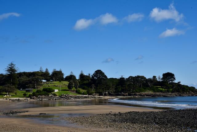


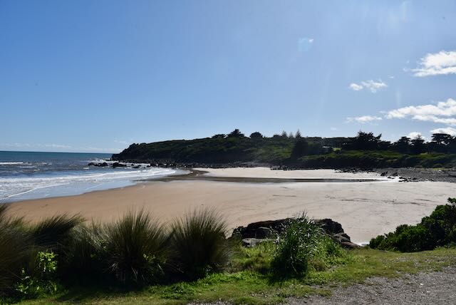
We then continued on to Coles Beach.

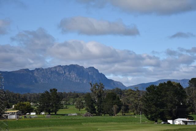
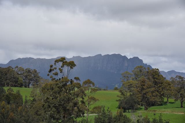
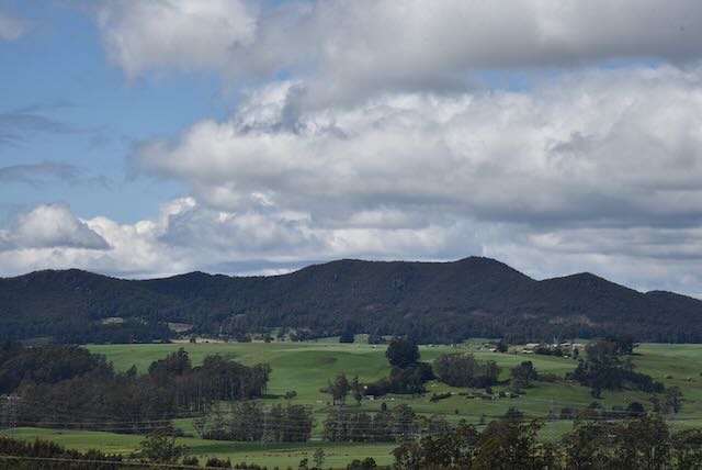
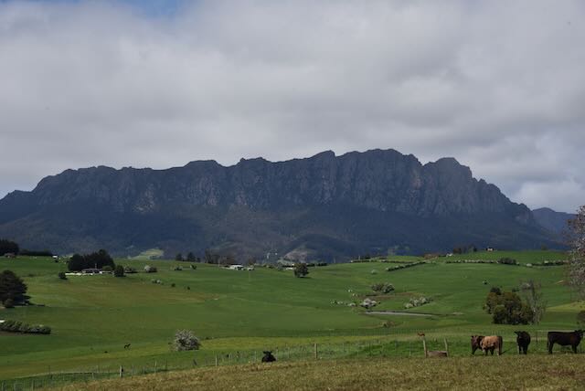
We then decided to drive to the town of Sheffield, about 27 km south of Devonport. On the way we enjoyed the magnificent scenery of the Kentish countryside and some brilliant views of Mount Roland which stands about 1,234 metres above sea level. Mount Roland was originally known as Rollands Repulse after Captain John Rolland who explored the area in 1823.
The area of Sheffield in Tasmania was settled in 1859. The town was named by Edward Curr after his home town of Sheffield in South Yorkshire in England. The Kentishbury Post Office opened in 1862 and was renamed Sheffield in 1882.
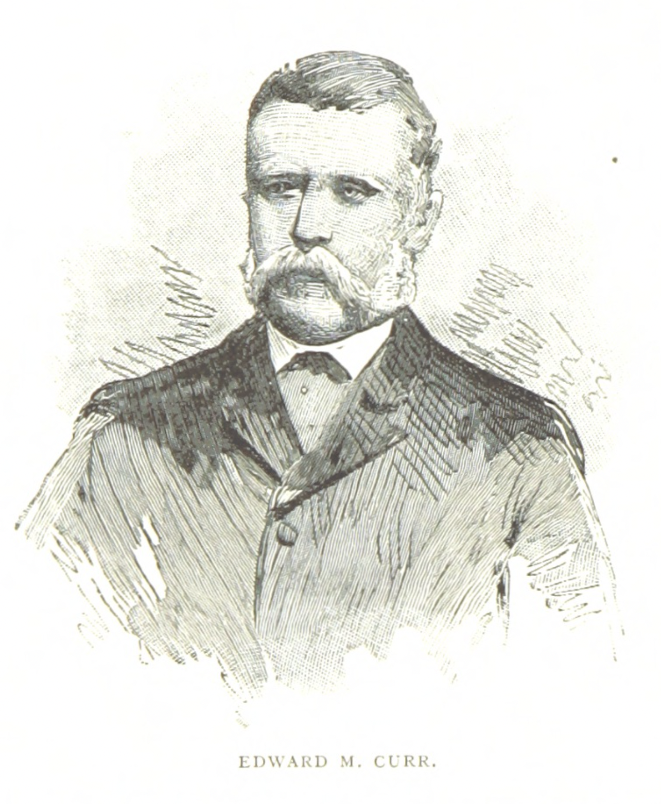
Above:- Edward Curr. Image c/o Wikipedia.
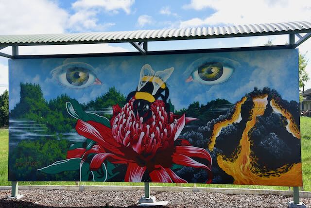
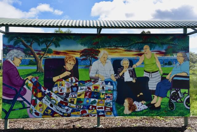
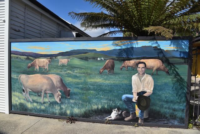
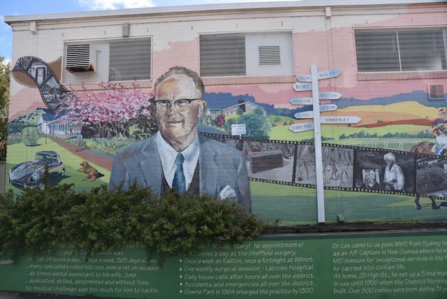
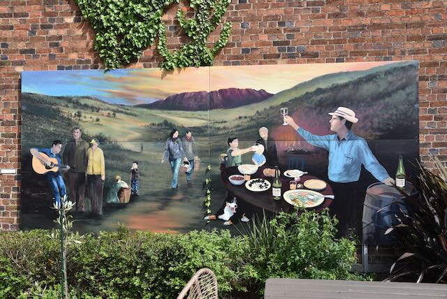
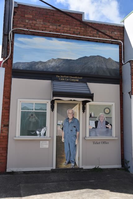
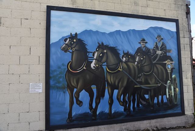
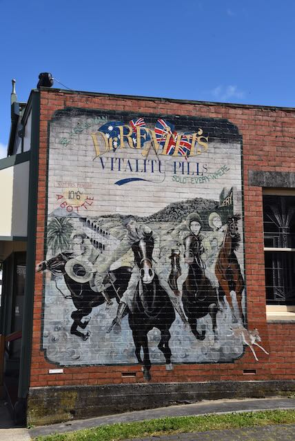
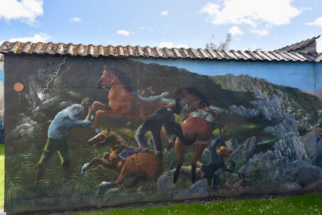
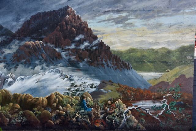
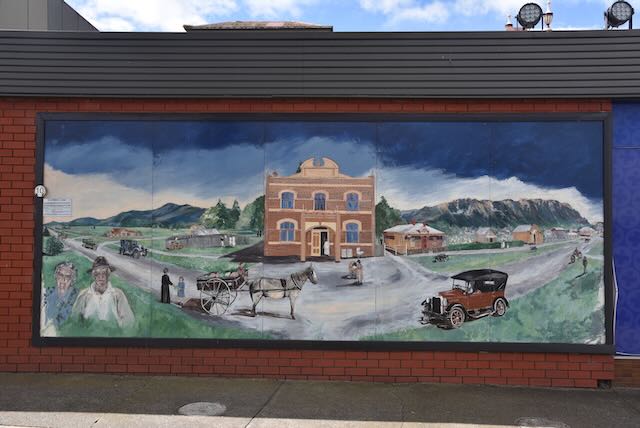
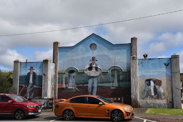
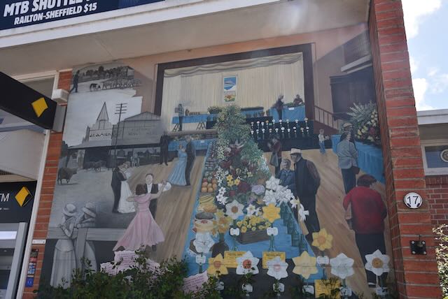
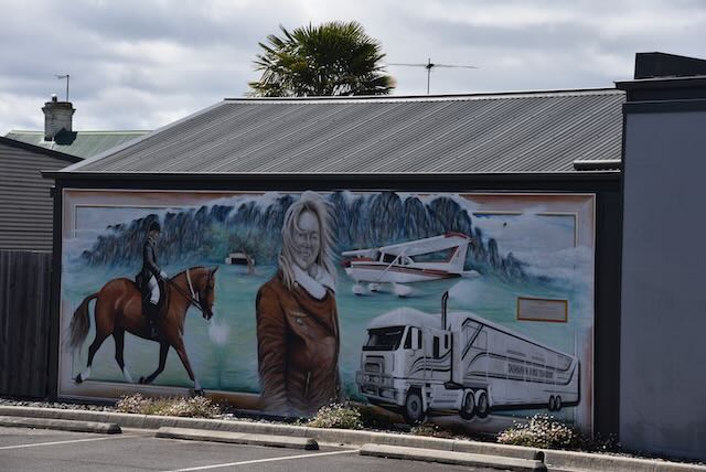
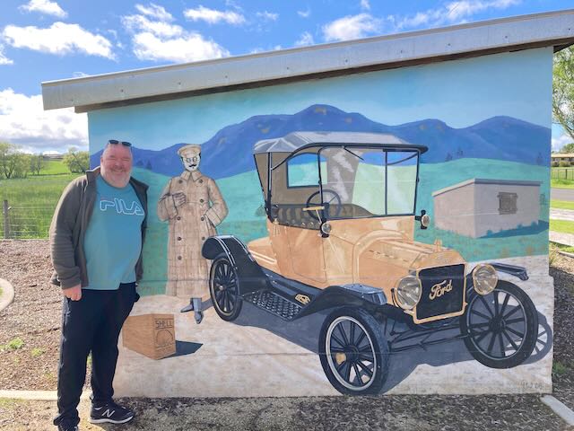
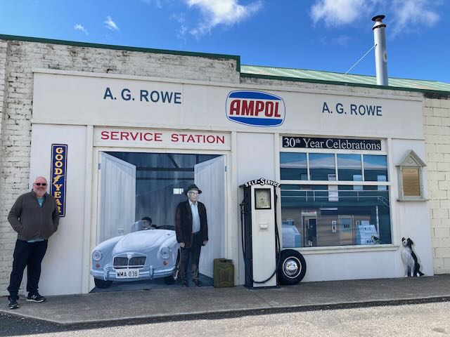
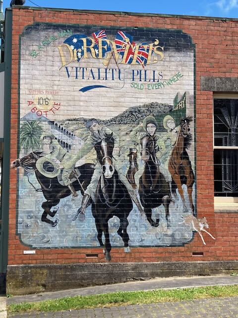
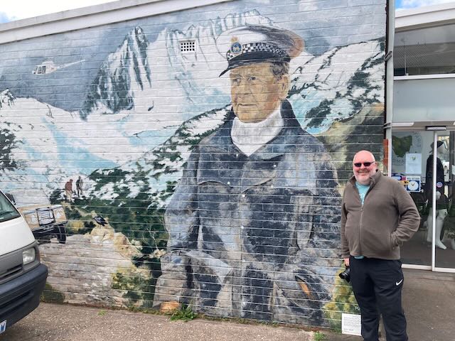
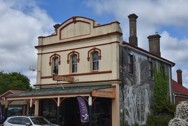
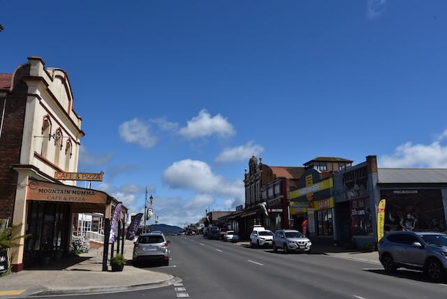
Today Sheffield is known as the Town of Murals.
Sheffield’s population grew in the 1960s as a result of the commencement of the Mersey-Forth Power Development Scheme. However, by 1973, with the completion of the power scheme, the town’s population was in decline. The Kentish Association for Tourism decided to combine the arts and tourism to revitalise the town of Sheffield. Their inspiration came from the small Canadian town of Chemainus which became famous due to its 53 outdoor murals.
The first town mural in Sheffield was painted in December 1986. Since that time over 60 murals have been painted depicting the rich history and natural scenery of the Sheffield area. It is estimated that about 200,000 people are attracted to the town each year due to the murals.


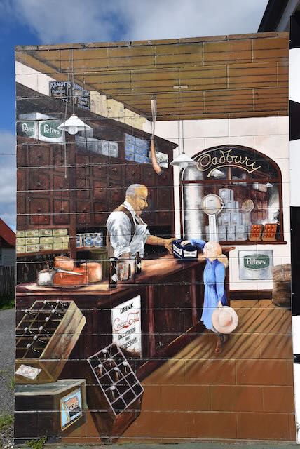


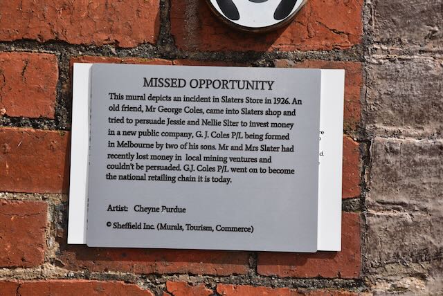
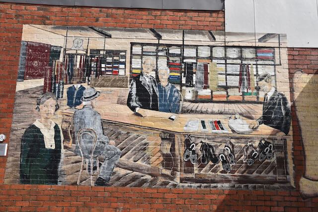
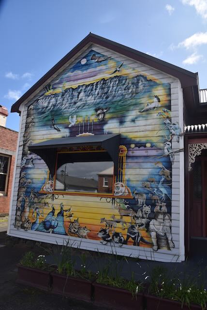


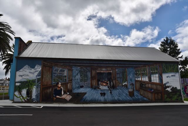


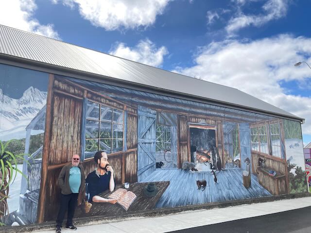
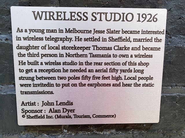
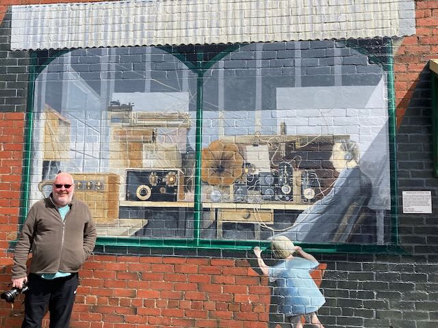
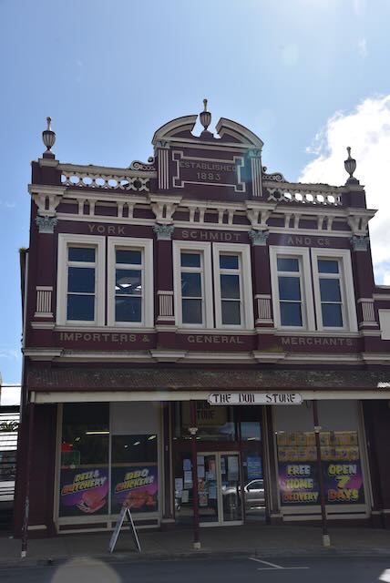
One of the interesting radio related murals in Sheffield is the Wireless Studio mural which can be located on the side of Slaters Country Store in the main street of Sheffield.
Jesse Slater, a young Melbourne man had an interest in wireless telegraphy. He settled in Sheffield and married the daughter of a local storekeeper Thomas Clarke. He became the third person in Northern Tasmania to own a wireless. In 1926 he built a wireless studio in the rear section of a shop in Sheffield. His antenna was fifty yards long and strung between two poles which were 55 feet high. He held the callsign of 7AU.
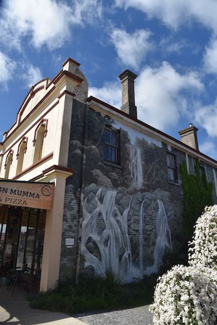
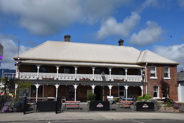
We spent hours and hours in Sheffield, admiring the murals and the heritage buildings. We also had a beautiful lunch at one of the local cafes.
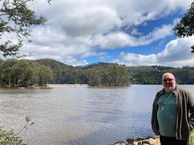
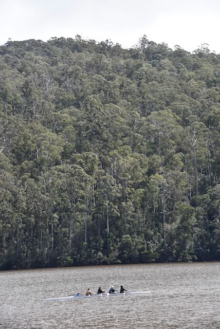
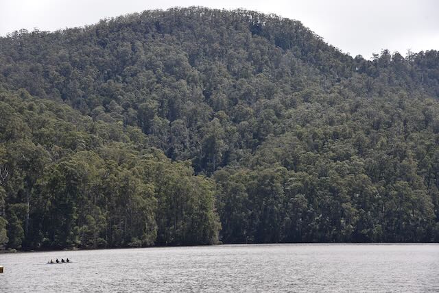
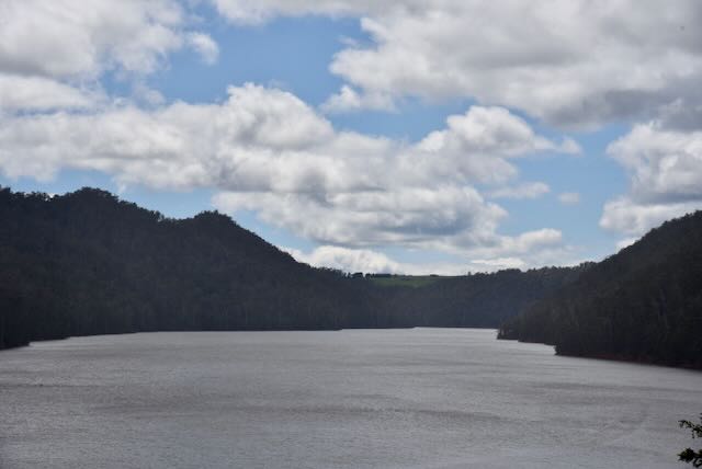
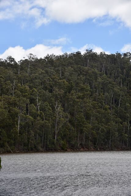
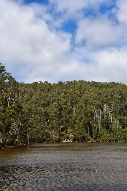
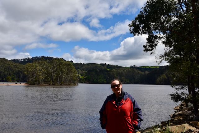
We then visited the novel areas of Promised Land and Nowhere Else, south of Sheffield. We also visited Lake Barrington, an artificial lake which is about 20 km long. It was constructed on the Forth River in 1969 to provide a head of water for the Devils Gate Power Station. Lake Barrington is the site of a world-standard rowing course, and hosted the 1990 World Rowing Championships and since 1984 has hosted the Australian Rowing Championships on numerous occasions.


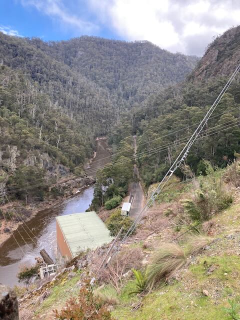
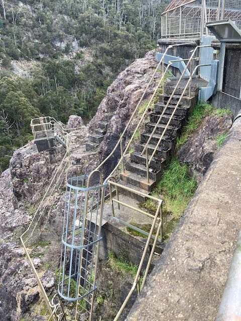
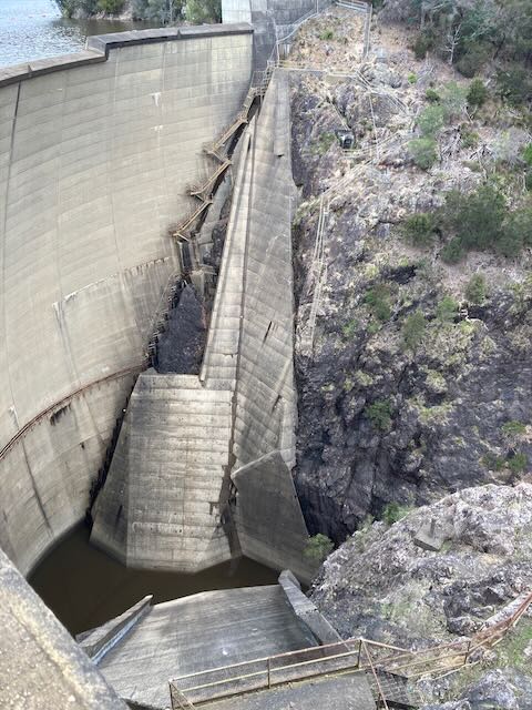
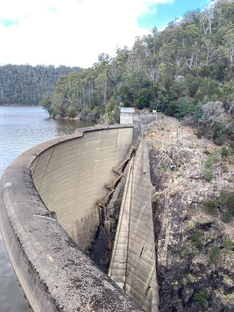
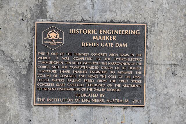
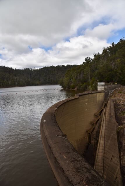
We then drove a short distance to the Devils Gate Dam and Power Station. The dam is 84 metres and is one of the thinnest concrete arch dams in the world. Construction was completed in 1969, and the dam has a capacity of 31 thousand cubic metres.


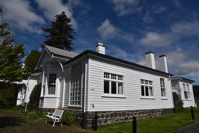
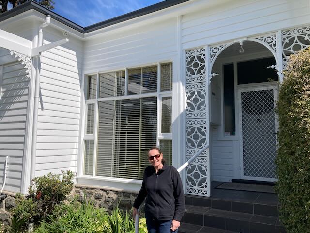
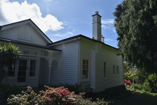
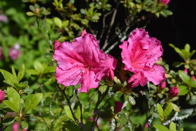
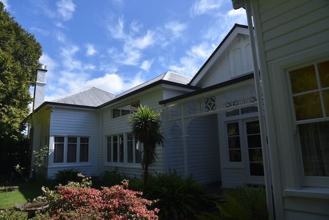
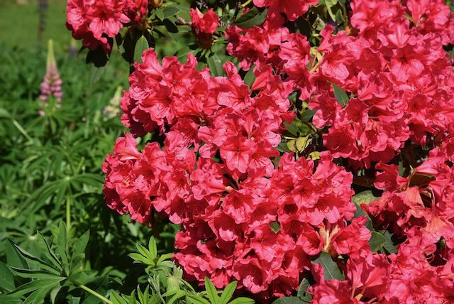
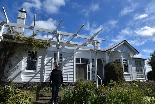
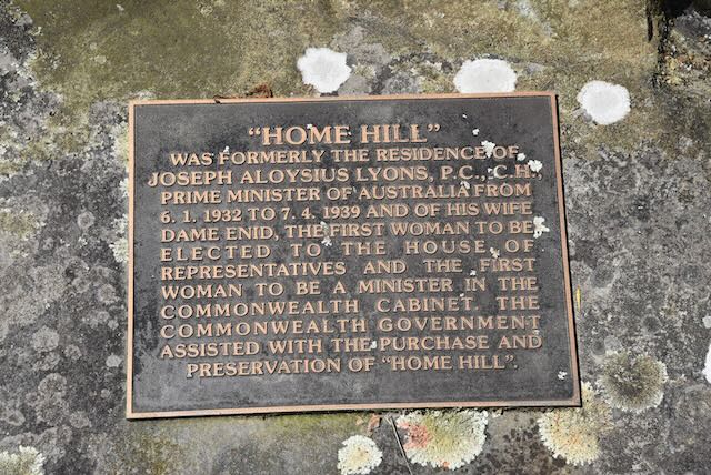
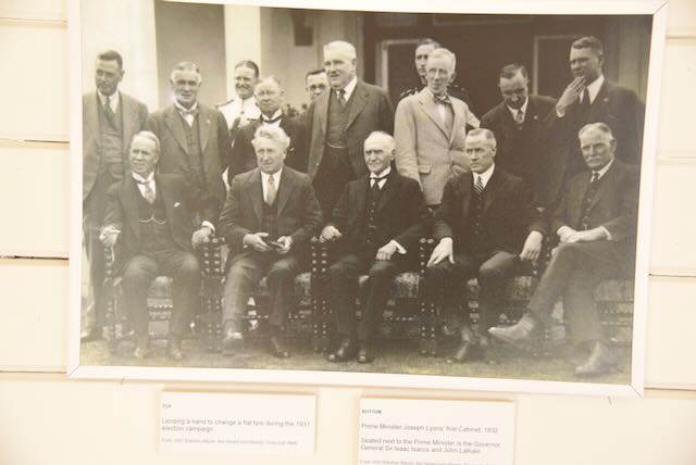
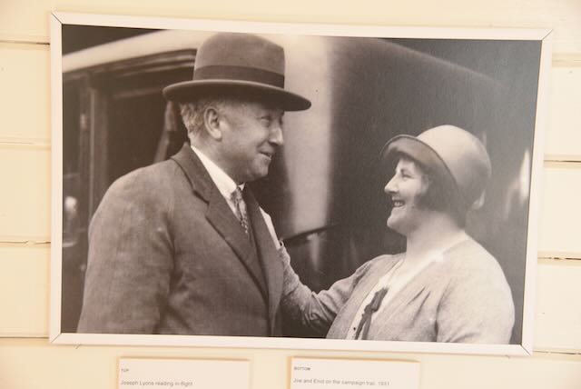
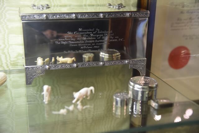
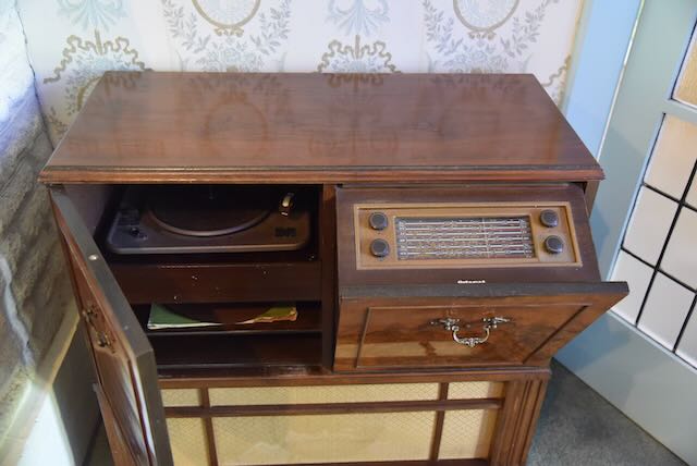
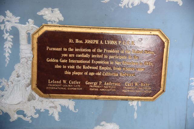
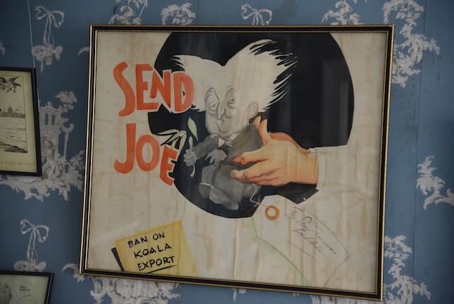
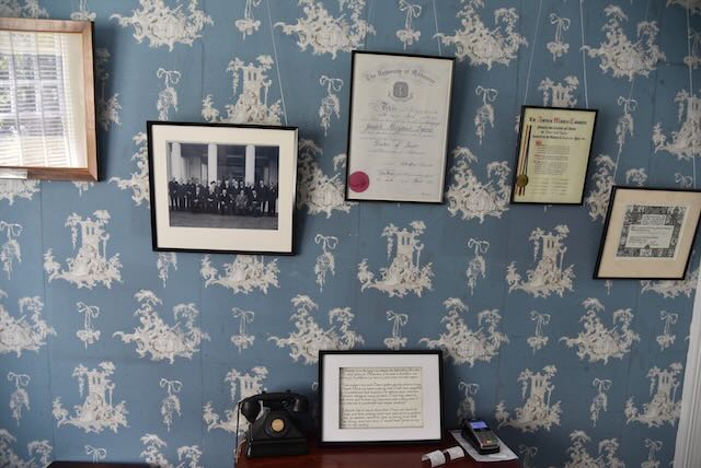
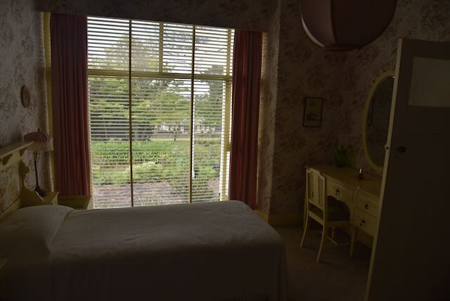
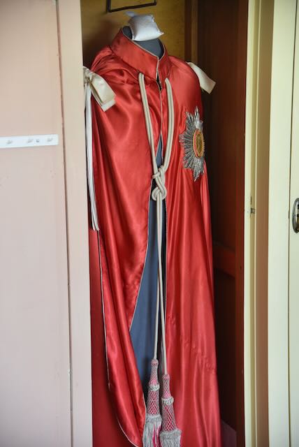
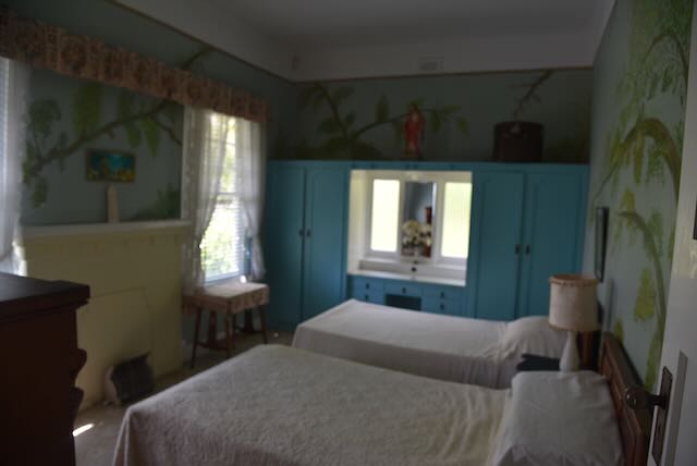
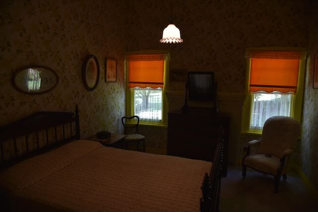
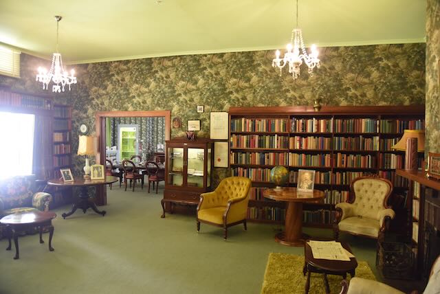
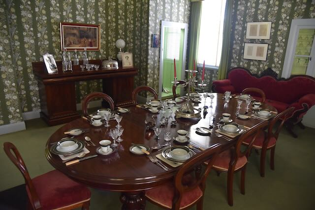
We then drove back into Devonport and visited Home Hill, the 1916 home and gardens of former Australian Prime Minister Joseph Aloysius Lyons (b. 1879. d. 1939). Lyons was born in Stanley, Tasmania, and was a school teacher before entering politics. He was in office from 7 May 1931 – 6 January 1932.
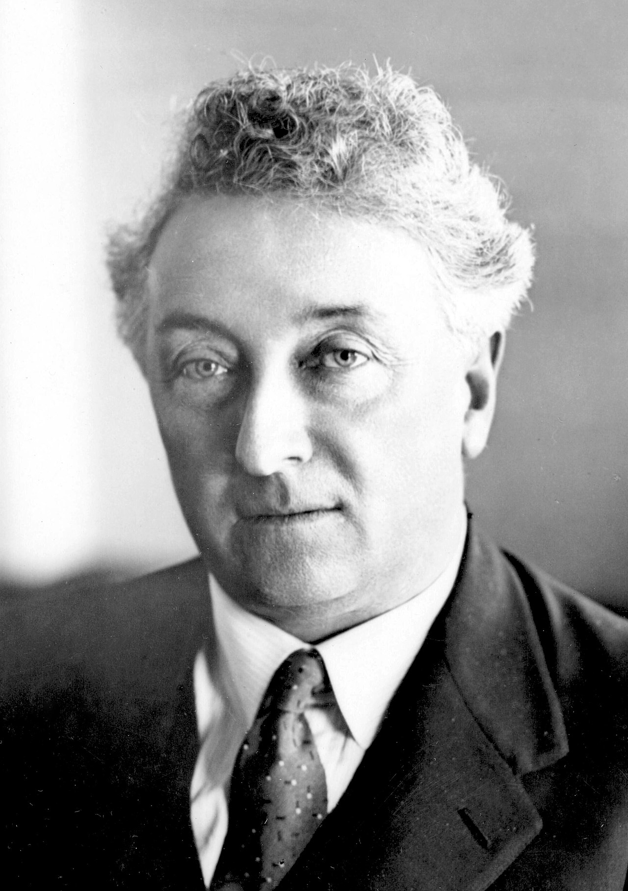
Above:- Joseph Lyons. Image c/o Wikipedia.
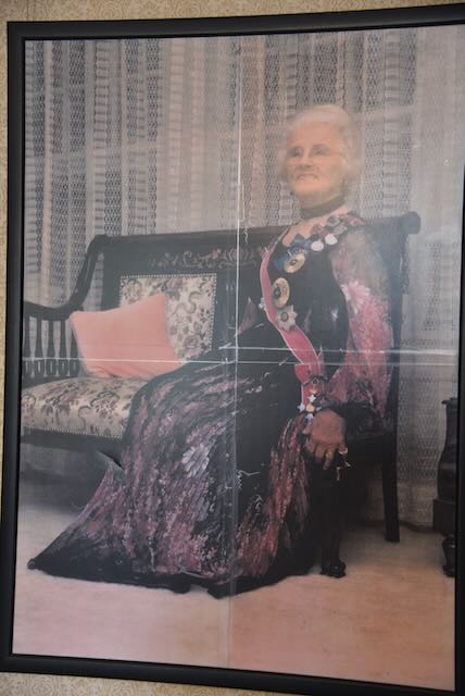
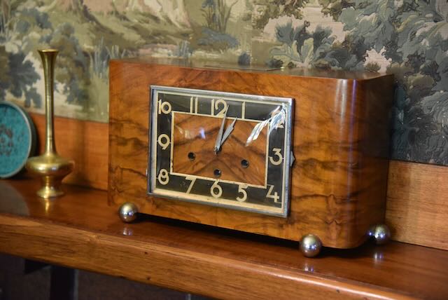
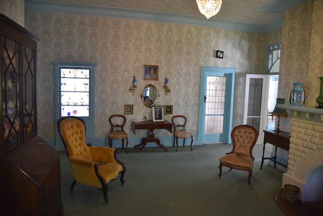
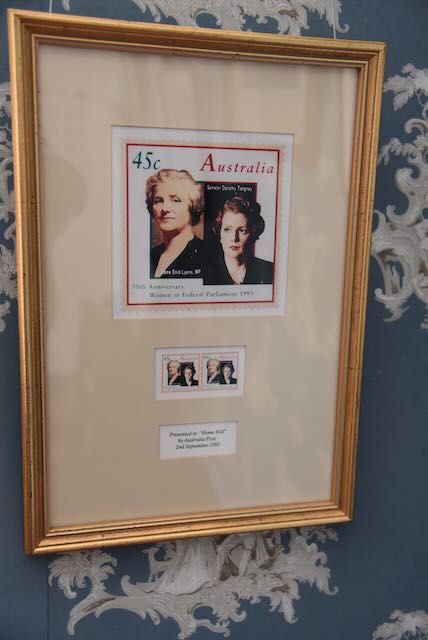
Home Hill was the family home of Lyons and his wife Dame Enid Lyons who was the first woman elected to Australia’s Federal Parliament, and their twelve children. The home has the original furnishings and memorabilia.


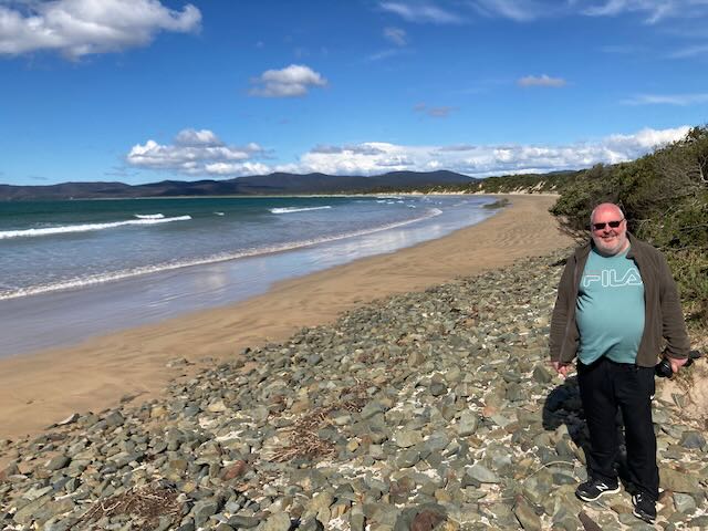
We then drove out to Narawntapu National Park which is situated about 41 km east of Devonport and about 267 km north of Hobart.
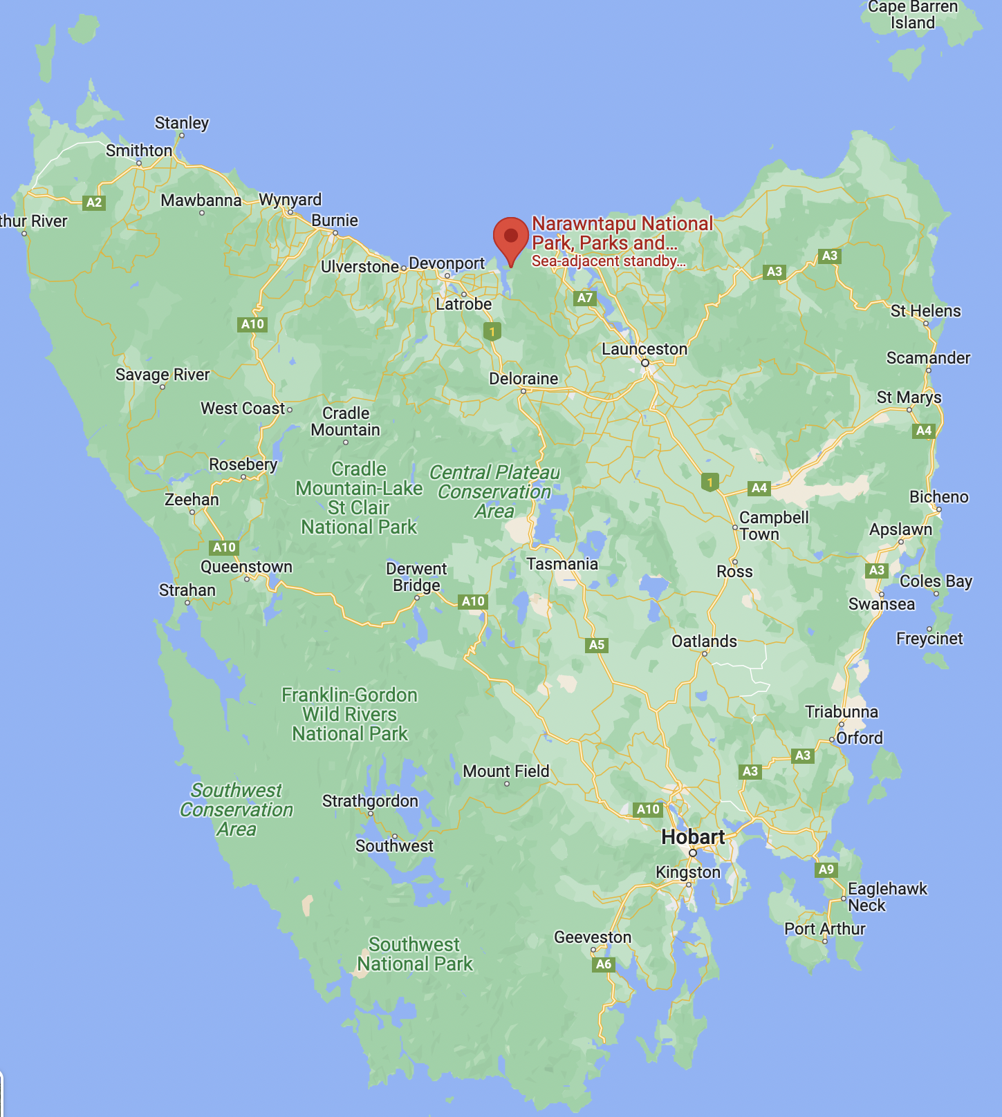
Above:- Map showing the location of the Narawntapu National Park. Map c/o Google maps.
The Narawntapu National Park was formerly known as the Asbestos Range National Park. It was gazetted as a National Park on the 29th day of June 1976. In 2000, the name of the park was changed to Narawntapu due to concerns that the word Asbestos was deterring potential visitors to the park. Narawntapu is an aboriginal word referring to the coastal promontories West Head and Badger Head within the park.
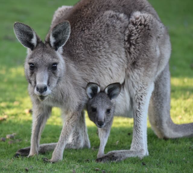
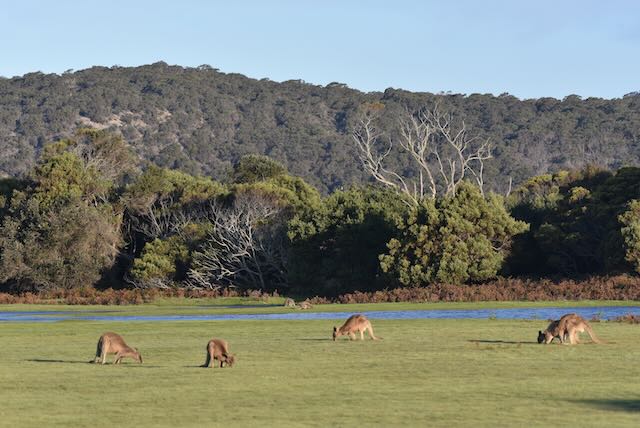
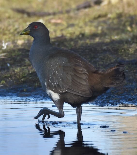
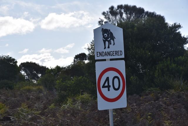
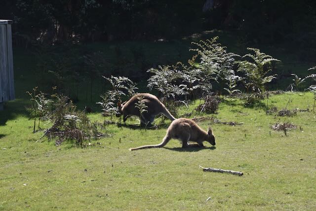
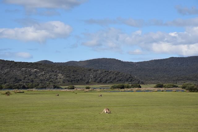
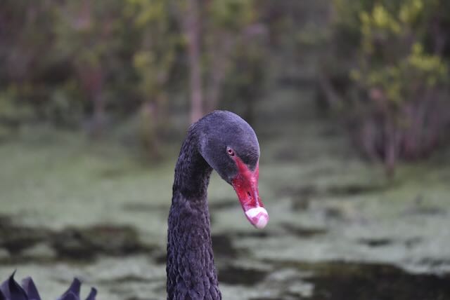
A large variety of native mammals can be found in the park including kangaroos, wallabies, pademelons, wombats, Tasmanian devils, Eastern and Spotted-tail quolls, platypus, and echidna.
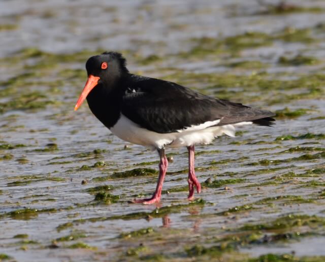
Narawntpu’s birdlife is rich and includes a number of threatened species including Hooded plover, Tasmanian wedge-tailed eagle and Swift parrot. The intertidal mudflats in the park are an important area for migratory wading birds and form part of the Rubicon Estuary Important Bird Area which has been identified by BirdLife International due to their importance for Pied Oystercatchers. We saw a number of these during our visit to the park.

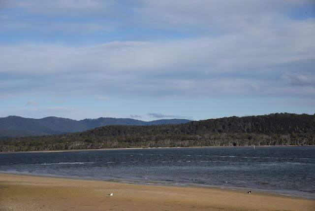
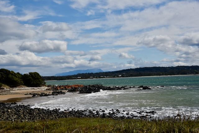
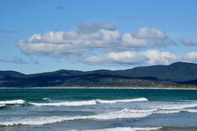
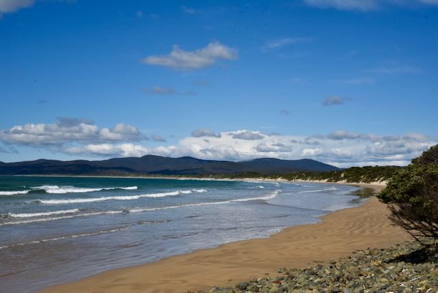
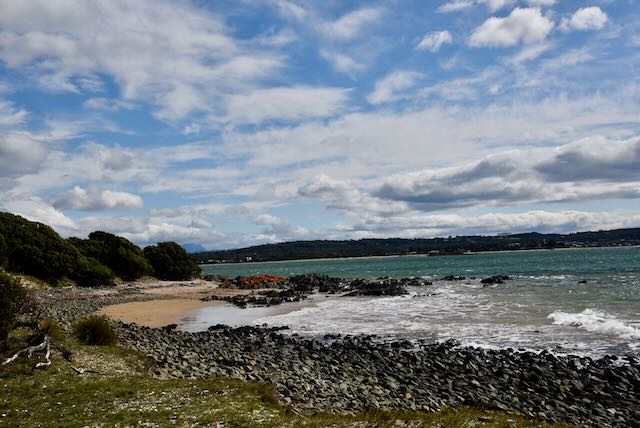
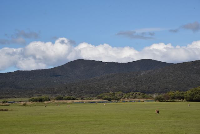
Narawntapu National Park is 43.49 km2 in size. It lies on Tasmania’s north coast, adjoining Bass Strait, between Port Sorell in the west and the mouth of the Tamar River in the east.


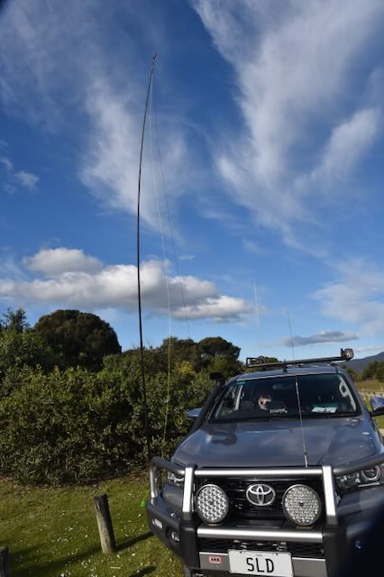
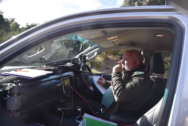
We operated from the 4WD for this activation. running the Yaesu FT-857d, about 40 watts output, and the 20/40/80m linked dipole which was inverted vee configuration, supported by a 7 metre heavy duty squid pole.
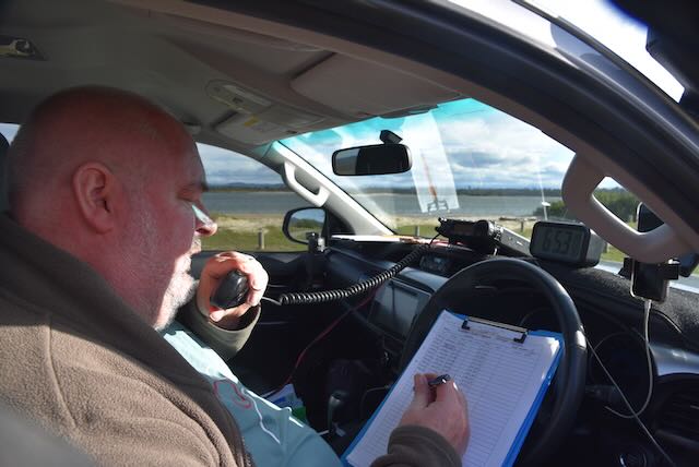
Together we made a total of 94 contacts, both qualifying the park for the global World Wide Flora Fauna (WWFF) program with 44 plus contacts each. It was very pleasing to work a bit of DX into Europe and the USA on the 20m band. We were also very happy to get ten Park to Park contacts.
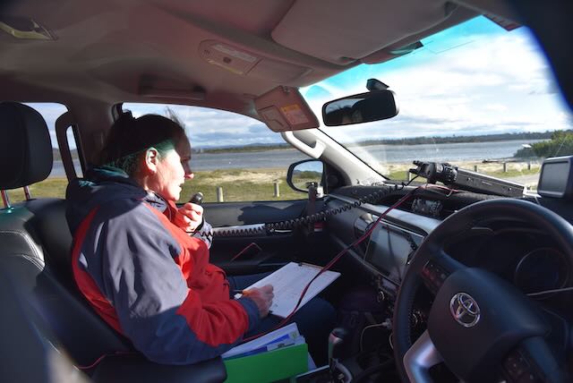
Marija worked the following stations on 40m SSB:-
- VK2EXA
- VK2MET
- VK1AO
- VK3PF/m
- VK3SQ
- VK5DW
- VK4NH
- VK4DXA
- VK2VH
- VK4AAC
- VK2IO
- VK2OKR/p (Coolah Tops National ParkVKFF-0111)
- VK2YAK/p (Coolah Tops National ParkVKFF-0111)
- VK4YAK/p (Coolah Tops National ParkVKFF-0111)
- VK5BJE
- VK3VIN
- VK1ACE/p (Black Mountain Nature Reserve VKFF-0834)
- VK3ZPF
- VK2YK/p (Tower Hill Native Forest Reserve VKFF-2885)
- VK5AV
- ZL3MR
- VK3DL
- VK4TJ
- VK5GY
- VK1TTY
- VK4SMA
- VK2HRX
- VK3ARD
- VK5AYL
- VK3JW
- VK5KVA
- VK3APJ
- VK3TJK
- VK3UAO
Marija worked the following stations on 20m SSB:-
- VK4MUD
- IW2NXI
- VK4MGO
- F1BLL
- KG5CIK
- ZL1TM
- ON4ON
- VK4EW
- VK4BXX
- ZL2ACG
- VK4TJ
- ON4VT
I worked the following stations on 40m SSB:-
- VK2EXA
- VK2MET
- VK1AO
- VK3PF/m
- VK3SQ
- VK5DW
- VK4NH
- VK4DXA
- VK2VH
- VK4AAC
- VK2IO
- VK2YAK/p (Coolah Tops National ParkVKFF-0111)
- VK4YAK/p (Coolah Tops National ParkVKFF-0111)
- VK2OKR/p (Coolah Tops National ParkVKFF-0111)
- VK5FANA
- VK5BJE
- VK3VIN
- VK1ACE/p (Black Mountain Nature Reserve VKFF-0834)
- VK3ZPF
- VK3JW
- VK5HS
- VK2NP
- VK5AV
- VK7ATX
- VK5AYL
- VK3FRC
- VK3FTOM
- VK3ARD
- VK7LTD
- VK2YK/p (Tower Hill Native Forest Reserve VKFF-2885)
- VK7FAMP
I worked the following stations on 20m SSB:-
- VK4SMA
- KG5CIK
- VK4MGL
- VK4NH
- VK4DXA
- IZ2ZSF
- KV0Q
- HG5A
- LZ6Y
- 9A7A
- IR2Q
- HG7T
- OL9Z
- S57DX
- VK4KLA
- VK4MWL/2
- VK4MUD
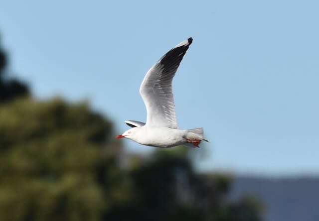
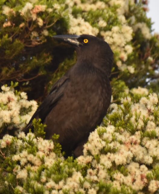
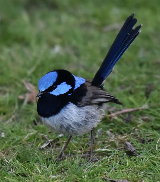
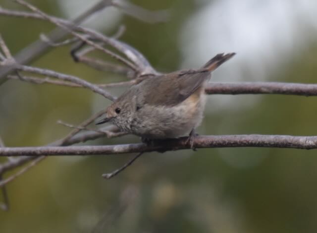
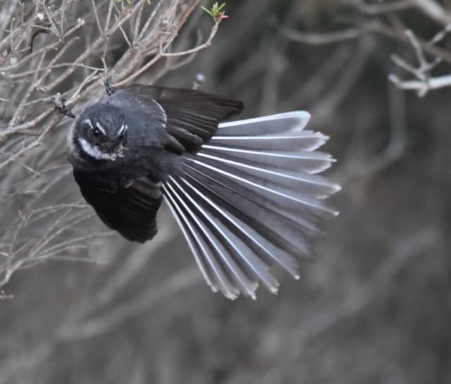
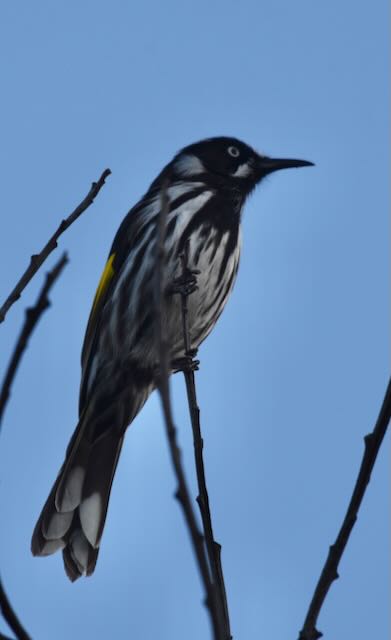
At the end of the activation we went for a short walk through the park along the Springlawn Nature Walk and down to Springlawn Lagoon. I had hoped to see some waterbirds, but I was a little disappointed. Some of my bird photos along the walk can be seen below.


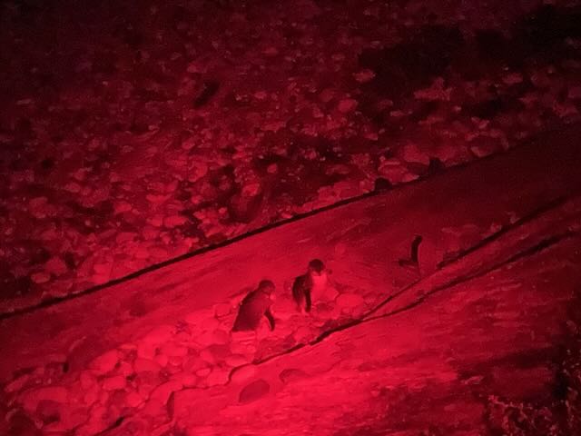
We then headed back into Devonport and viewed the penguins coming ashore at the Lillico Beach Conservation Area. This little coastal reserve is just 10 minutes west of Devonport, and is home to a colony of Little Penguins, also known as Fairy Penguins. Each night the penguins return ashore to return to their burrows after a day of fishing in the open ocean.


We then got some take away and headed back to the motel.
References.
- Home Hill, 2022, <https://www.nationaltrust.org.au/places/home-hill/>, viewed 8th December 2022.
- University Tasmania, 2022, <https://www.utas.edu.au/library/companion_to_tasmanian_history/M/Mt%20Roland.htm>, viewed 8th December 2022.
- Wikipedia, 2022, <https://en.wikipedia.org/wiki/Sheffield,_Tasmania>, viewed 8th December 2022.
- Wikipedia, 2022, <https://en.wikipedia.org/wiki/Lake_Barrington_(Tasmania)>, viewed 8th December 2022.
- Wikipedia, 2022, <https://en.wikipedia.org/wiki/Devils_Gate_Power_Station>, viewed 8th December 2022.
- Wikipedia, 2022, <https://en.wikipedia.org/wiki/Joseph_Lyons>, viewed 8th December 2022.
- Wikipedia, 2022, <https://en.wikipedia.org/wiki/Narawntapu_National_Park>, viewed 8th December 2022.

Brilliant write up on a very unique area.
Chris
VK5FR
Hi Chris,
Narawntapu is certainly a beautiful park. I wish we had some more time there to explore a bit more.
Happy New Year.
Paul VK5PAS.