
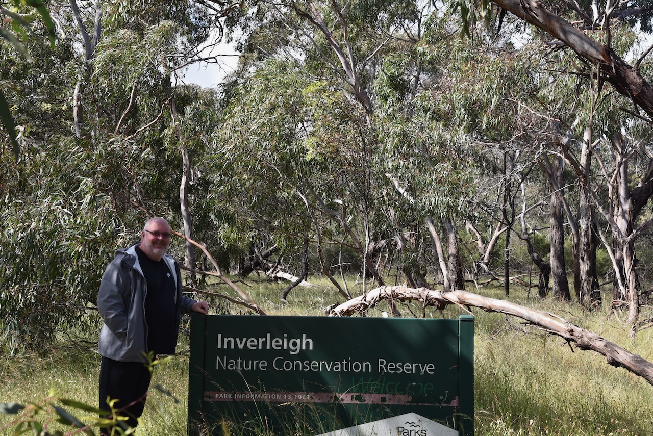
Marija and I arrived back to mainland Australia from Tasmania on Sunday 20th November 2022. After disembarking from the Spirit of Tasmania we drove into Geelong and got some breakfast. We then headed west out of Geelong to the Inverleigh Flora Reserve VKFF-2336, the first of a handful of parks we had hope to activate that day.
I last activated the Inverleigh Flora Reserve back in November 2018 and made 31 QSOs, so another 13 for me this time would mean I had qualified the park for the global World Wide Flora Fauna (WWFF) program.
The Inverleigh Flora Reserve is located about 32 km west of Geelong.
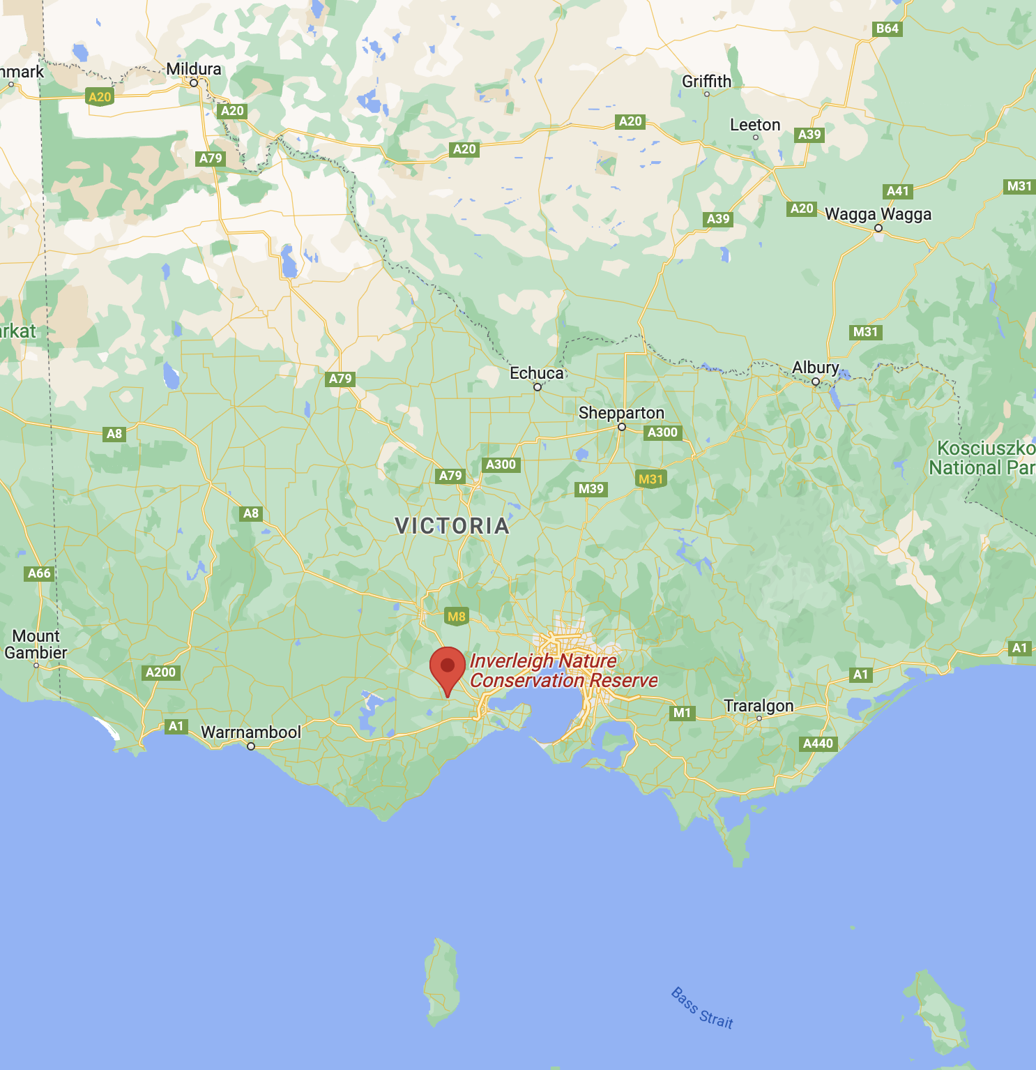
Above:- Map showing the location of the Inverleigh Flora Reserve. Map c/o Google maps.
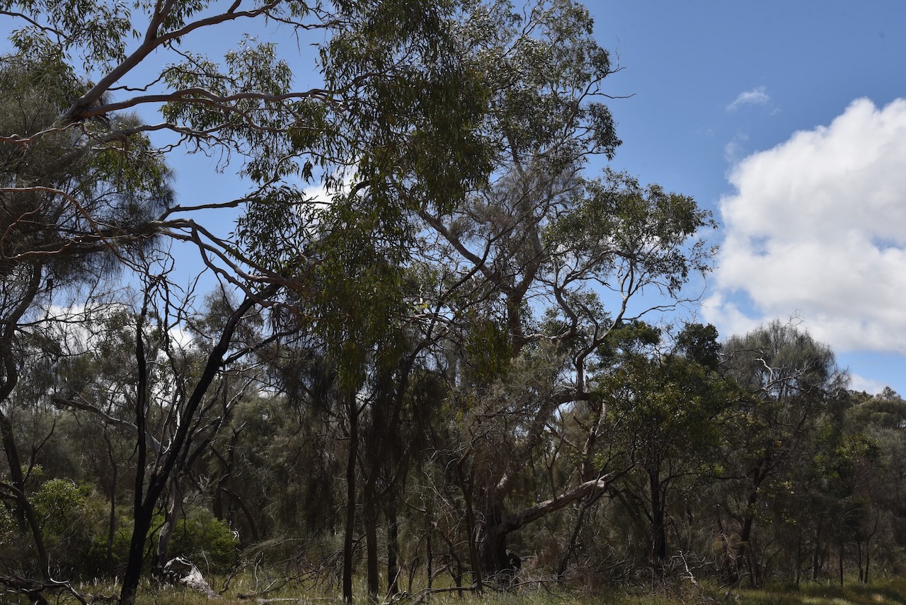
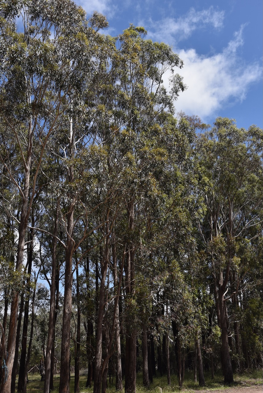
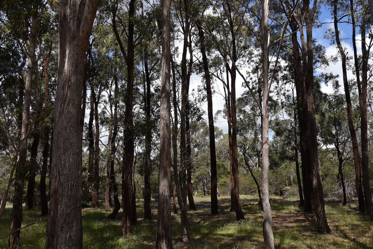
The park is about 1,050 hectares in size. About 300 fauna species have been recorded in the park, including about 50 species of orchid. The dominant species of flora in the park is the Manna Gum and River Red Gum.
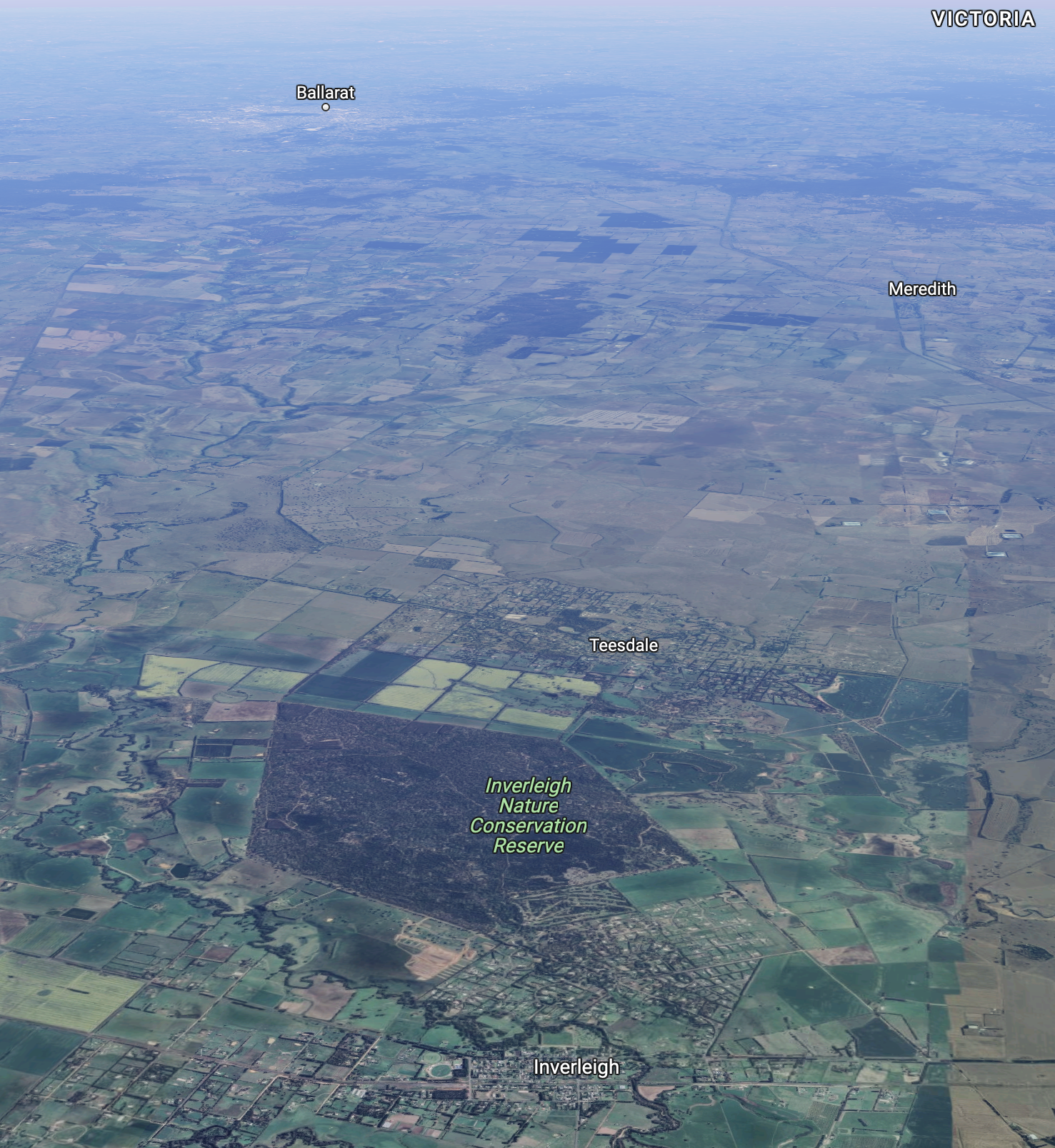
Above:- An aerial view of the Inverleigh Flora Reserve. Image c/o Google maps.
Of all the grassy woodlands that previously existed in the state of Victoria, only 1% remains. Of that 1%, 2/3rd is the Inverleigh Flora Reserve.
A total of 119 bird species have been recorded in the park. Native mammals found in the park include Eastern Grey kangaroo, Black-tailed wallaby, koala, and echidna.
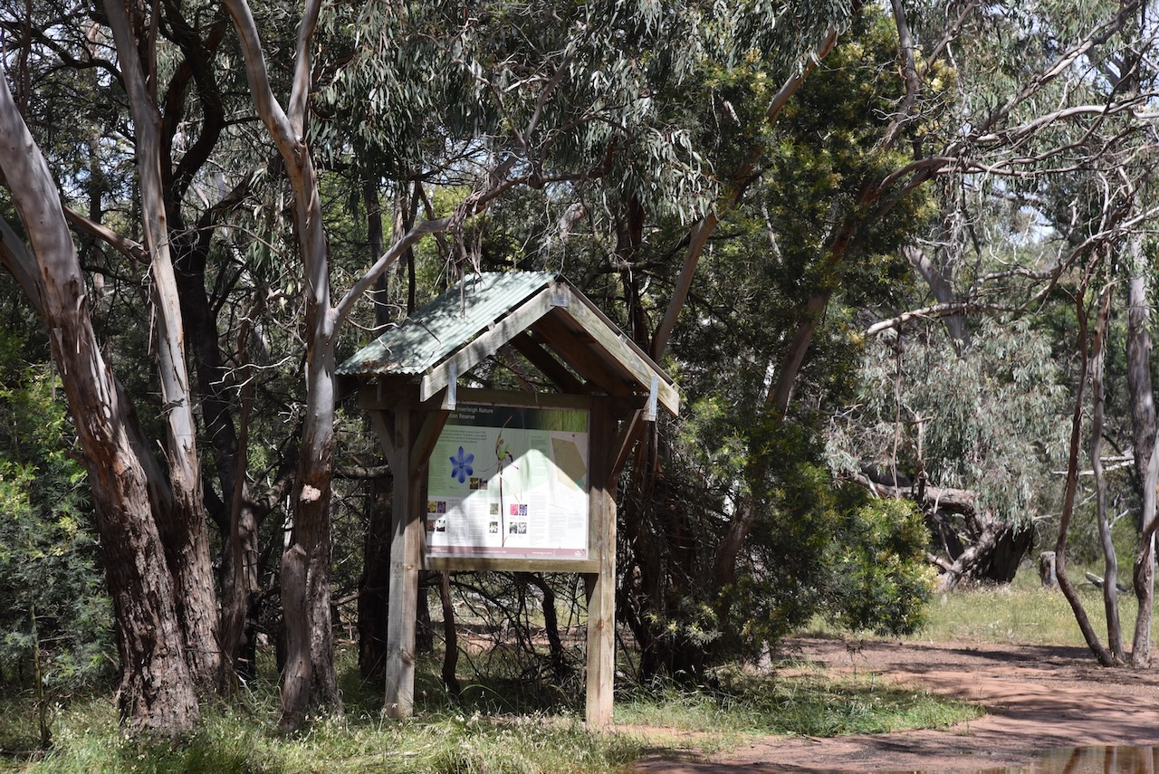
The park has a Friends Group. Their Facebook page can be found at…..
www.facebook.com/people/Friends-of-the-Inverleigh-Nature-Conservation-Reserve/100066716989178/
The Inverleigh area was once occupied by the Wathaurong of the Kulin aboriginal nation.
During the 1830s and 1840s the Derwent Company had runs in the area totalling about 26,000 acres. A crown survey of the area took place in 1854, with the town of Inverleigh officially proclaimed in 1855. Inverleigh was an important stop on the colonial trade links between Geelong and the western district and the Woady Yaloak goldfields to the north. By the 1860s a number of public and commercial buildings were built in the town including the town’s two bluestone hotels.

The origin of the town’s name comes from the Leigh River, which was named by Colonial Surveyor John Helder Wedge in 1835.
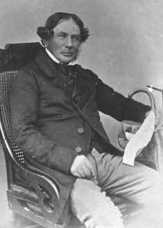
Above:- John Helder Wedge. Image c/o Wikipedia.
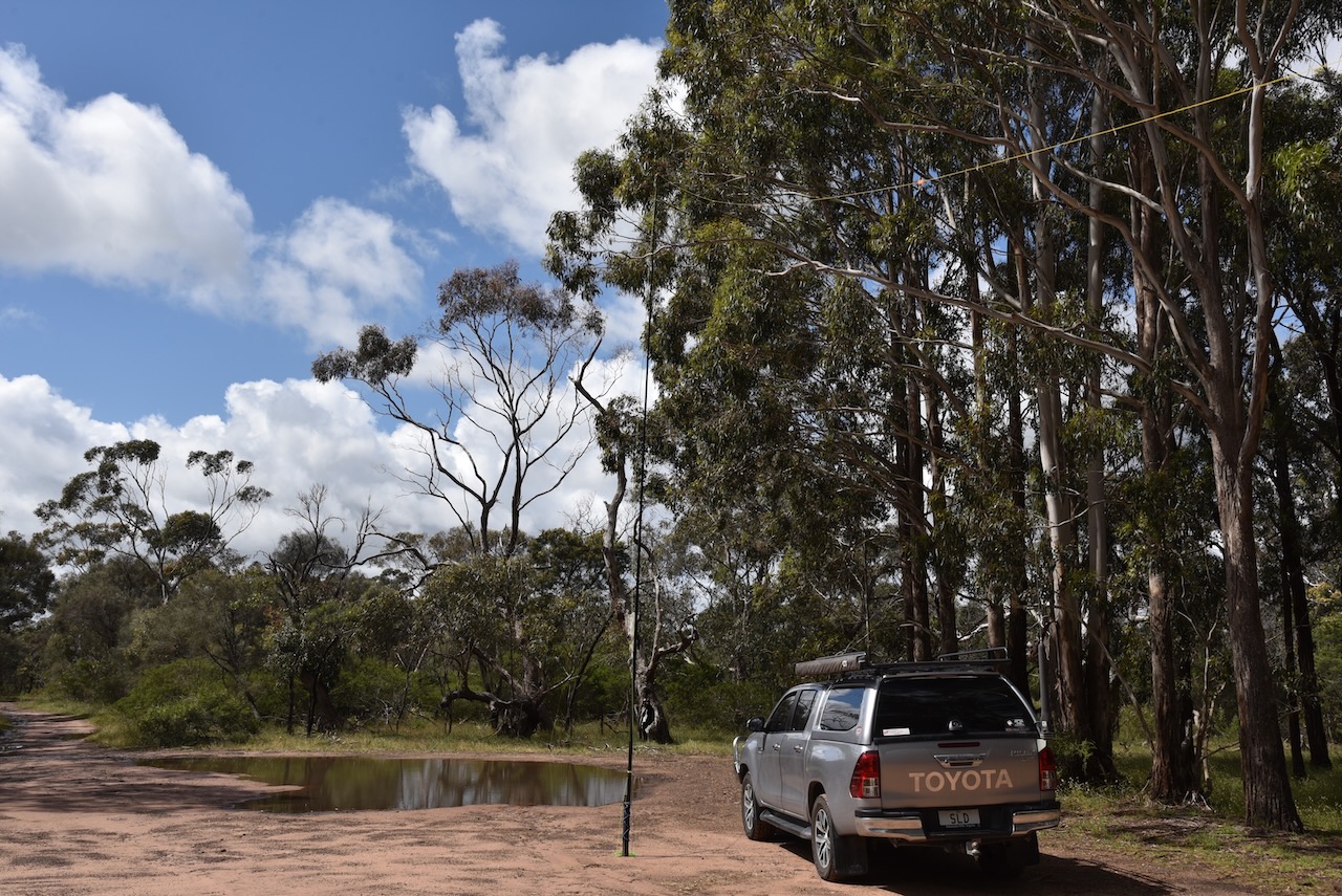
There was a lot of water from all of the recent heavy rains, so our options were a little limited as many of the tracks in the park were flooded.
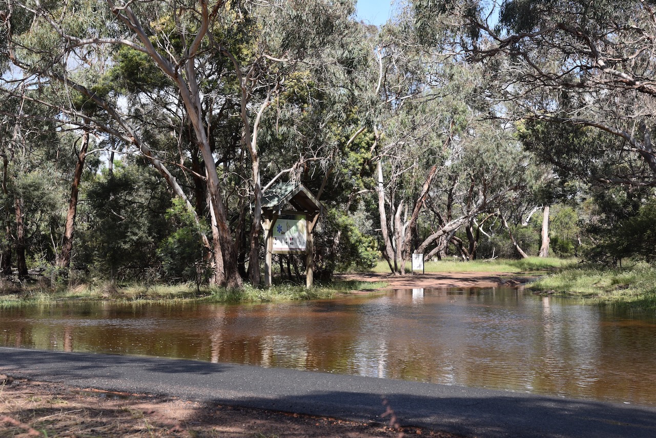
We set up on the side of a track off the Teesdale-Inverleigh Road. We ran the Yaesu FT857, 40 watts, and the 20/40/80m linked dipole for this activation.
Marija and I made a total of 72 QSOs from Inverleigh. This included 22 Park to Park contacts.
Marija made the following QSOs on 40m before the UTC rollover:-
- VK5FB
- VK3PF/m
- VK3TCP/m
- VK3TKK/p (Macedon Regional Park VKFF-0972)
- VK2OKR/p (Port Stephens/Great Lakes Marine Park VKFF-1410)
- VK2YAK/m
- VK4YAK/m
- VK2IO/p (Scheyville National Park VKFF-0444)
- VK3GJG/p (Churchill National Park VKFF-0621)
- VK5BJE
- VK3SQ
- VK1RF/p (Meroo National Park VKFF-0312)
Marija made the following QSO on 20m SSB:-
- VK3TKK/p (Macedon Regional Park VKFF-0972)
Marija made the following QSOs on 40m SSB after the UTC rollover:-
- VK2IO/p (Scheyville National Park VKFF-0444)
- VK3GJG/p (Churchill National Park VKFF-0621)
- VK3PT
- VK1RF/p (Meroo National Park VKFF-0312)
- VK2MET/p (Port Stephens/Great Lakes Marine Park VKFF-1410)
- VK1AO/p (Port Stephens/Great Lakes Marine Park VKFF-1410)
I made the following QSOs on 40m SSB before the UTC rollover:-
- VK5FB
- VK3PF/m
- VK3TCP/m
- VK3TKK/p (Macedon Regional Park VKFF-0972)
- VK2OKR/p (Port Stephens/Great Lakes Marine Park VKFF-1410)
- VK2YAK/m
- VK4YAK/m
- VK2IO/p (Scheyville National Park VKFF-0444)
- VK3GJG/p (Churchill National Park VKFF-0621)
- VK5BJE
- VK3SQ
- VK5AKR
- VK5FANA
- VK5AR/m
- VK3VIN
- VK2EXA
- VK2VH
- VK4AAC
- VK1RF/p (Meroo National Park VKFF-0312)
- VK7JFD
- VK5CZ
- VK7EE
- VK3ADX
- VK3GRX
- VK3ZSC
- VK3UAO
I worked the following stations on 40m SSB after the UTC rollover:-
- VK3UAO
- VK3VIN
- VK2YK
- VK5GA
- VK2IO/p (Scheyville National Park VKFF-0444)
- VK3GJG/p (Churchill National Park VKFF-0621)
- VK3UH
- VK5LN
- VK3PT
- VK1RF/p (Meroo National Park VKFF-0312)
- VK2PKT
- VK3ZSC
- VK2MET/p (Port Stephens/Great Lakes Marine Park VKFF-1410)
- VK1AO/p (Port Stephens/Great Lakes Marine Park VKFF-1410)
- VK5NFT
I worked the following station on 20m SSB before the UTC rollover:-
- ZL1BQD
I worked the following stations on 20m SSB after the UTC rollover:-
- VK4SMA
- VK4HAT
- VK4EMP
- VK4TI
- ZL1BQD
- VK4KLA
- VK4KC
- VK4MAD
- VK4DOG
- ZL1TM
- VK3TKK/p (Macedon regional Park VKFF-0972)
Marija and I then headed to our next park, the Rokewood Common Nature Conservation Reserve.
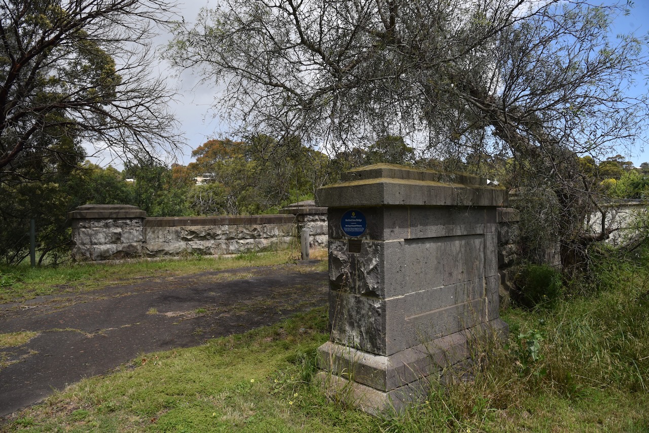
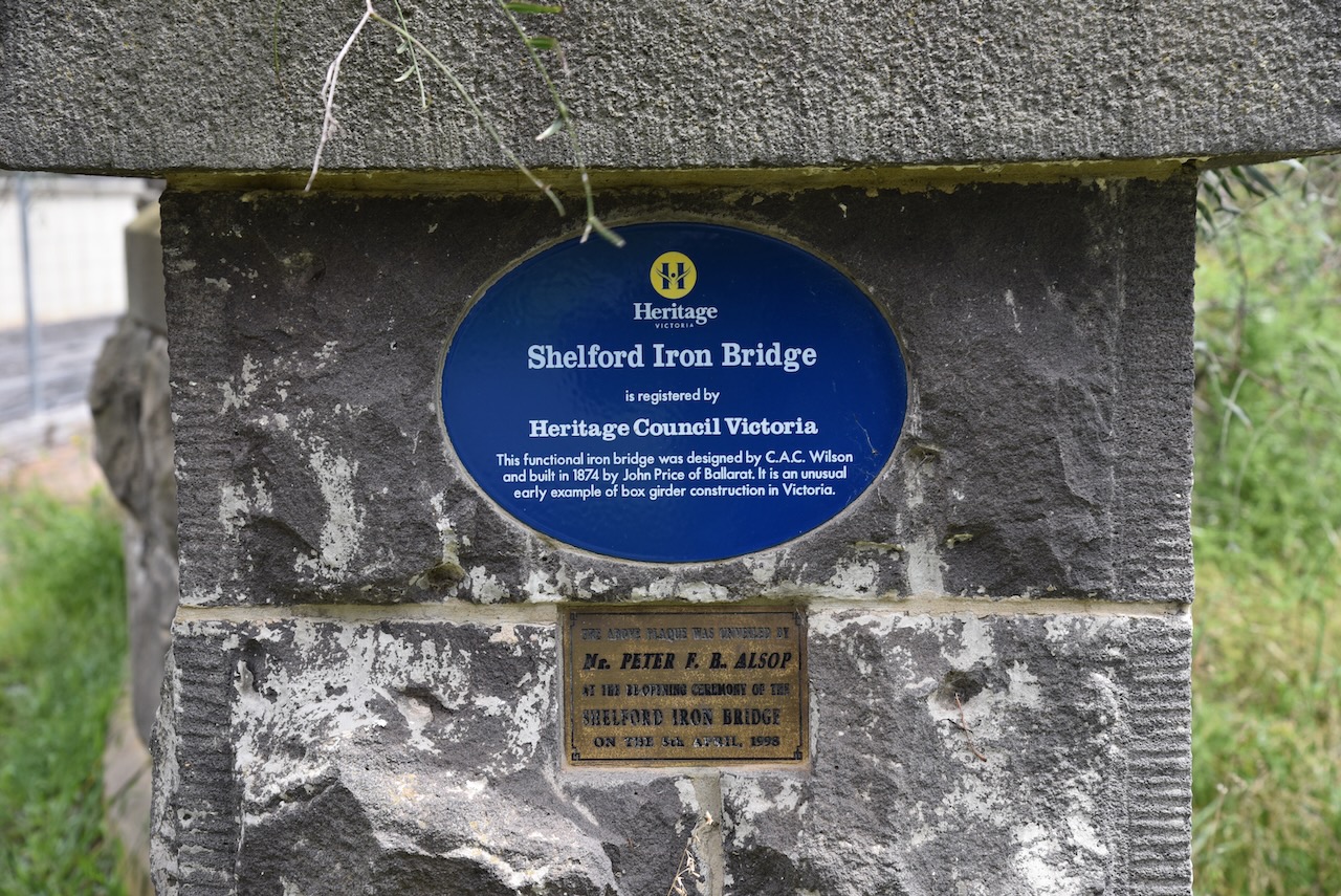
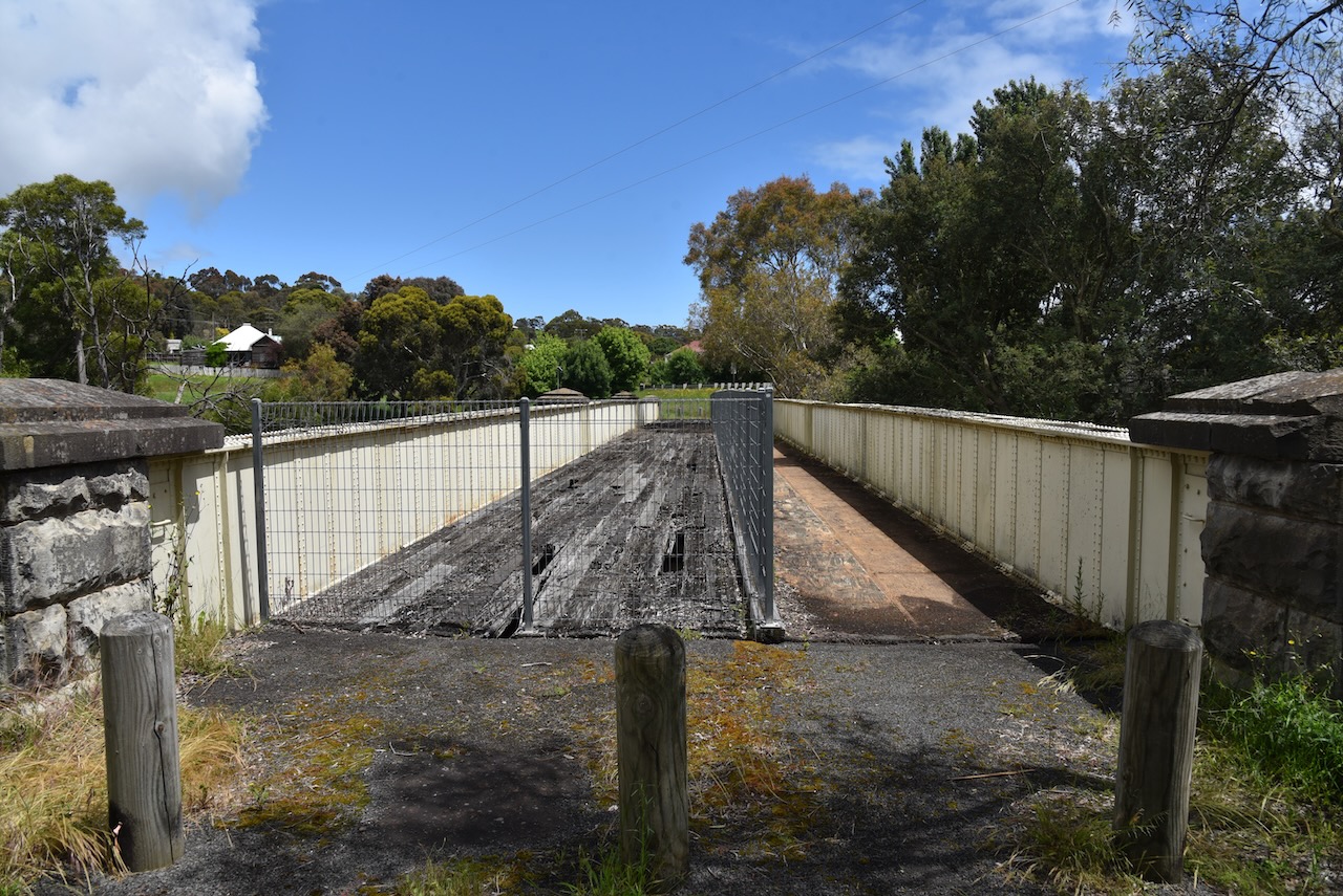
We stopped to have a look at the historic Shelford bridge which was built in 1873-1874 over the Leigh River. It is a wrought iron box girder bridge which was designed by Charles Anthony Corbett Wilson (b. 1827. d. 1923). The first bridge over the Leigh River was built in 1840 and is possibly the first bridge built in Victoria. It was replaced with a more substantial bridge in 1851, with the Shelford Iron bridge being constructed about 20 years later.
The little town of Shelford was established in 1836 with most of the local squatters coming from Scotland. On the 1st day of July 1847 The Leigh Post Office was opened. It was renamed Shelford in 1854. The former Shelford Hotel was built in c. 1855.

We continued west out of Shelford on the Cressy-Shelford Road but soon reached a road closed sign due to flooding and the recent heavy rain. Our short trip to Rokewood was now going to be about 30 minutes longer.
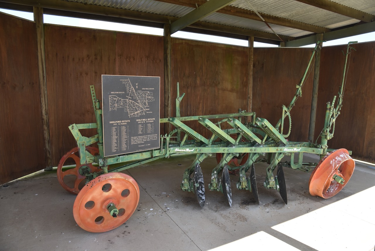
We took the opportunity of having a look at the Soldiers Settlement memorial on the corner of the Cressy-Shelford & Rokewood-Shelford Roads. It includes farm machinery and commemorates the Golf Hill and Shelford solder settlements which were created following the Second World War.
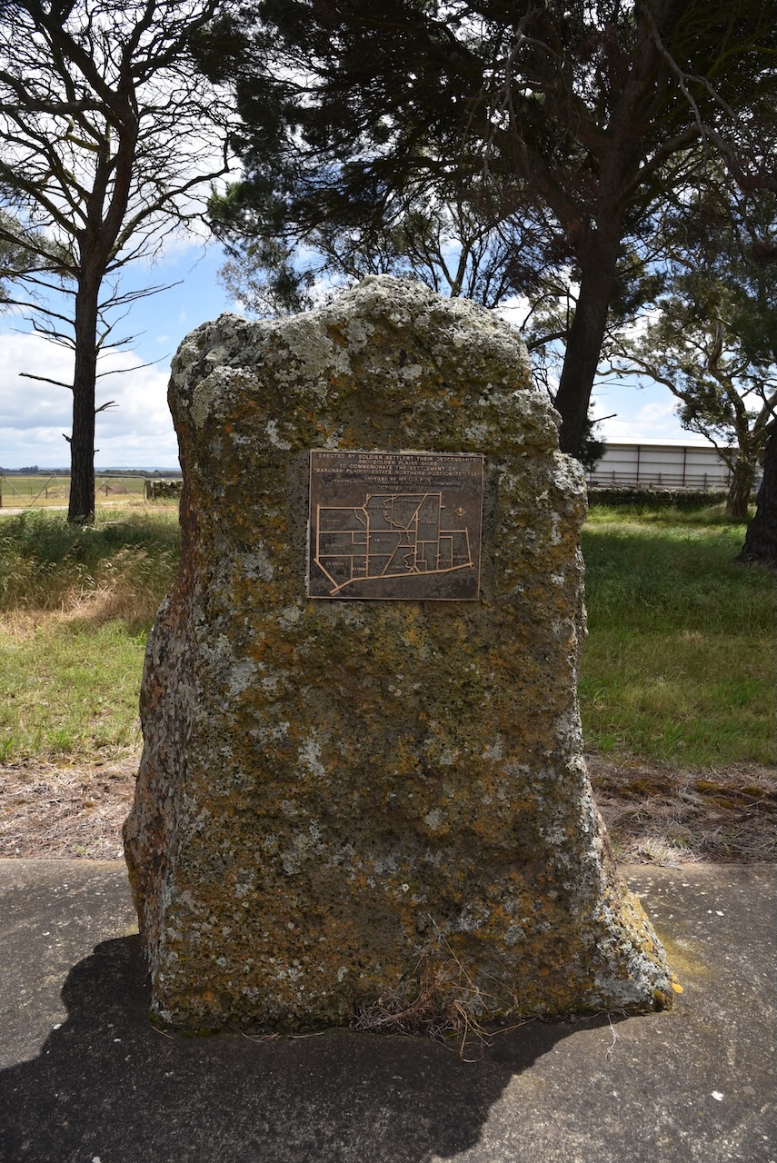
Our next brief stop was the memorial to commemorate the soldier settler families who settled on the “Barunah Plains” Estate.
References.
- Inverleigh, 2023, <https://www.inverleigh.org.au/>, viewed 8th January 2023.
- Monument Australia, 2023, <https://monumentaustralia.org.au/themes/landscape/settlement/display/95929-soldier-settlers-memorial>, viewed 8th January 2023.
- Victorian Places, 2023, <https://www.victorianplaces.com.au/inverleigh>, viewed 8th January 2023.
- Wikipedia, 2023, <https://en.wikipedia.org/wiki/Inverleig>, viewed 8th January 2023.
- Wikipedia, 2023, <https://en.wikipedia.org/wiki/Shelford_Bridge>, viewed 8th January 2023.
- Wikipedia, 2023, <https://en.wikipedia.org/wiki/Shelford,_Victoria>, viewed 8th January 2023.
