
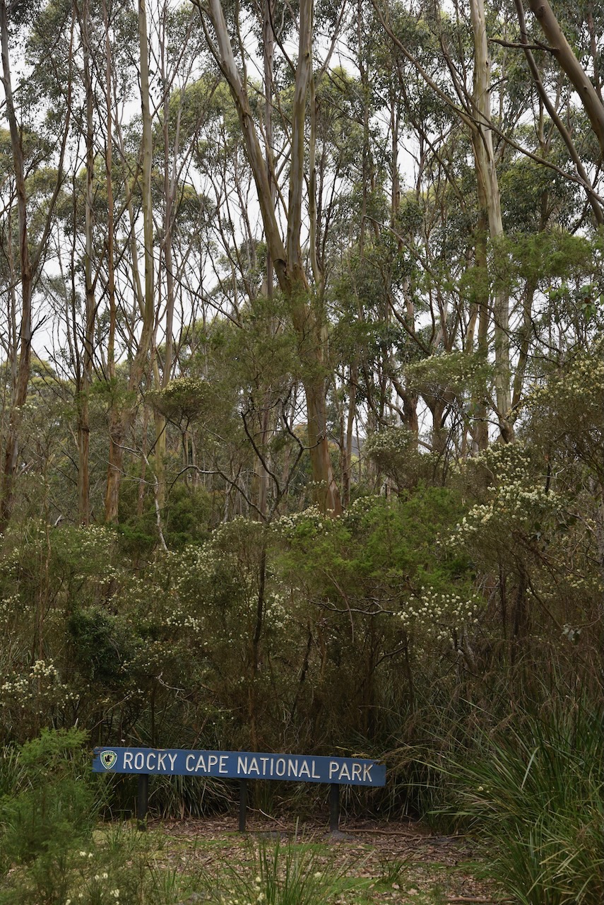
The time had come for our final park activation in Tasmania (19th November 2022), the Pinmatik-Rocky Cape National Park on the north coast of Tasmania. It surrounds the town of Sisters Beach.
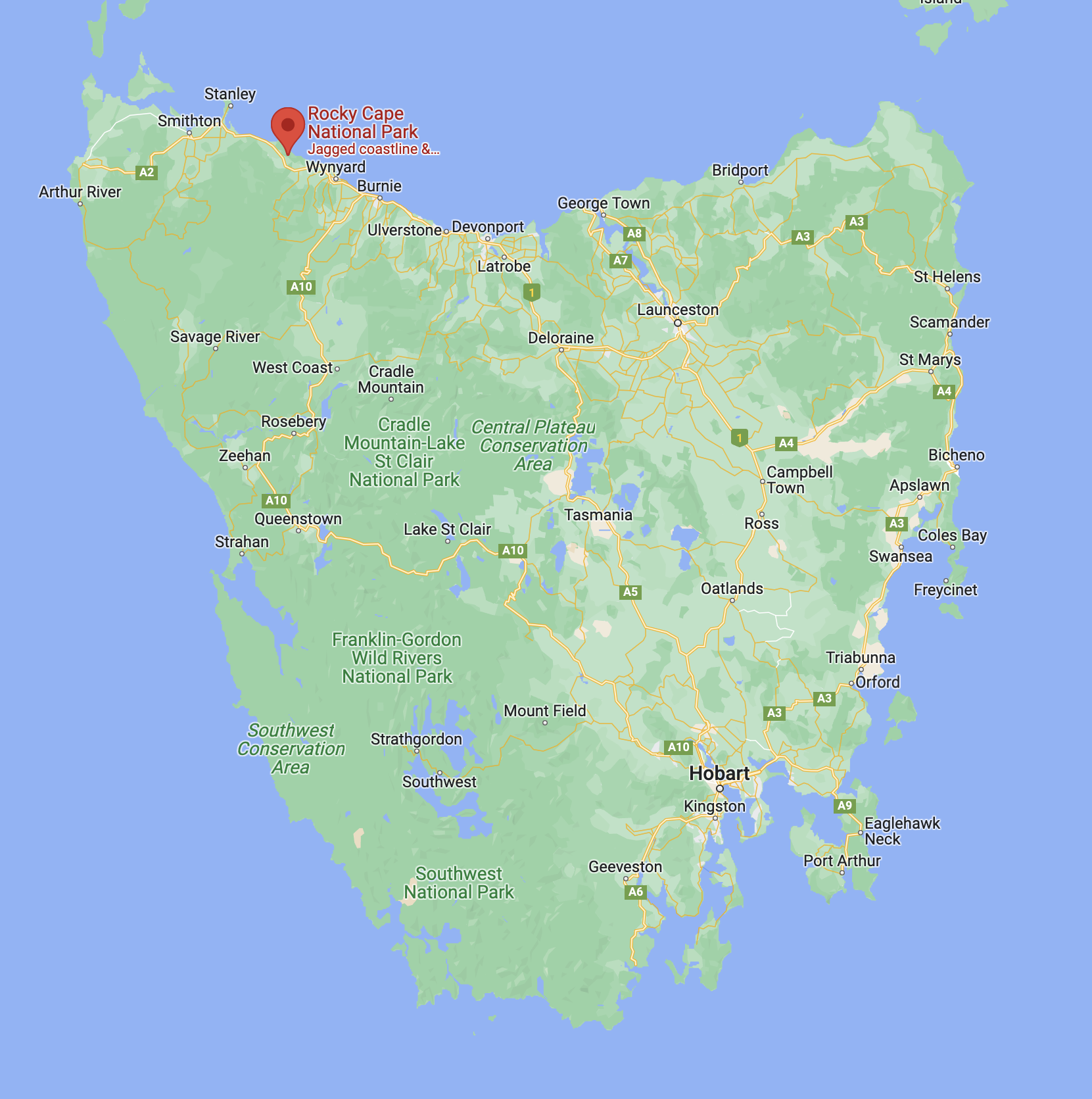
Above:- Map of Tasmania showing the location of the Rocky Cape National Park. Map c/o Google maps.
The Rocky Cape National Park is 30.64 km2 in size and was gazetted in 1967.
Birds found in the park include the White-bellied sea eagle and the Yellow-tailed black cockatoo. Eight of Tasmania’s ten honeyeaters can also be found in Rocky Cape. Native mammals include the Bennett Wallaby, pademelon, Tasmanian DEvil, echidna, Southern brown bandicoot, Eastern-barred bandicoot, and Spotted-tail quoll.
Above:- An aerial view of the Rocky Cape National Park. Image c/o Google maps.
The park was named by Matthew Flinders in 1798.
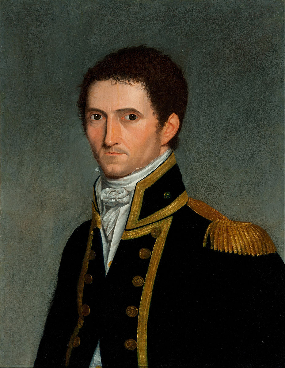
Above:- Matthew Flinders. Image c/o Wikipedia.
In 2022, researchers from Melbourne’s Monash University found that the park was home to some rocks which are believed to be from the Grand Canyon in Arizona in the USA. It is believed that Tasmania was once connected to the West Coast of the United States of America.


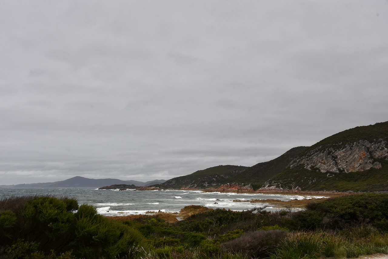
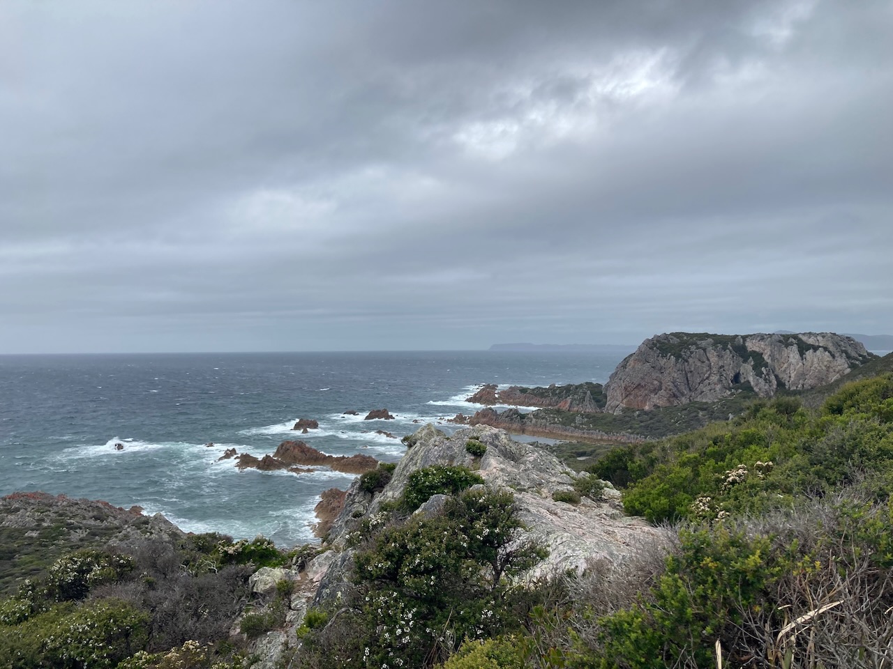
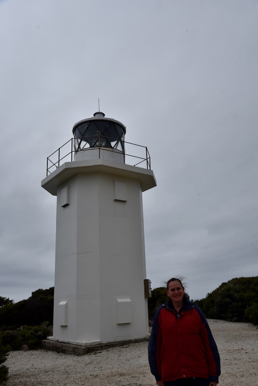
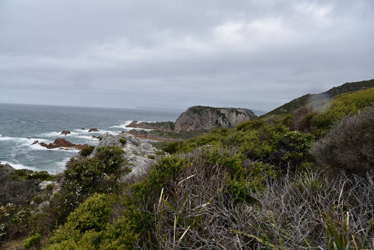
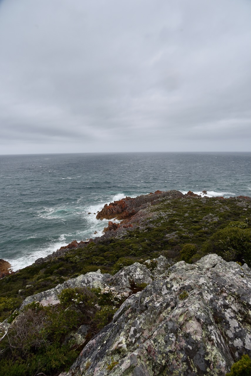
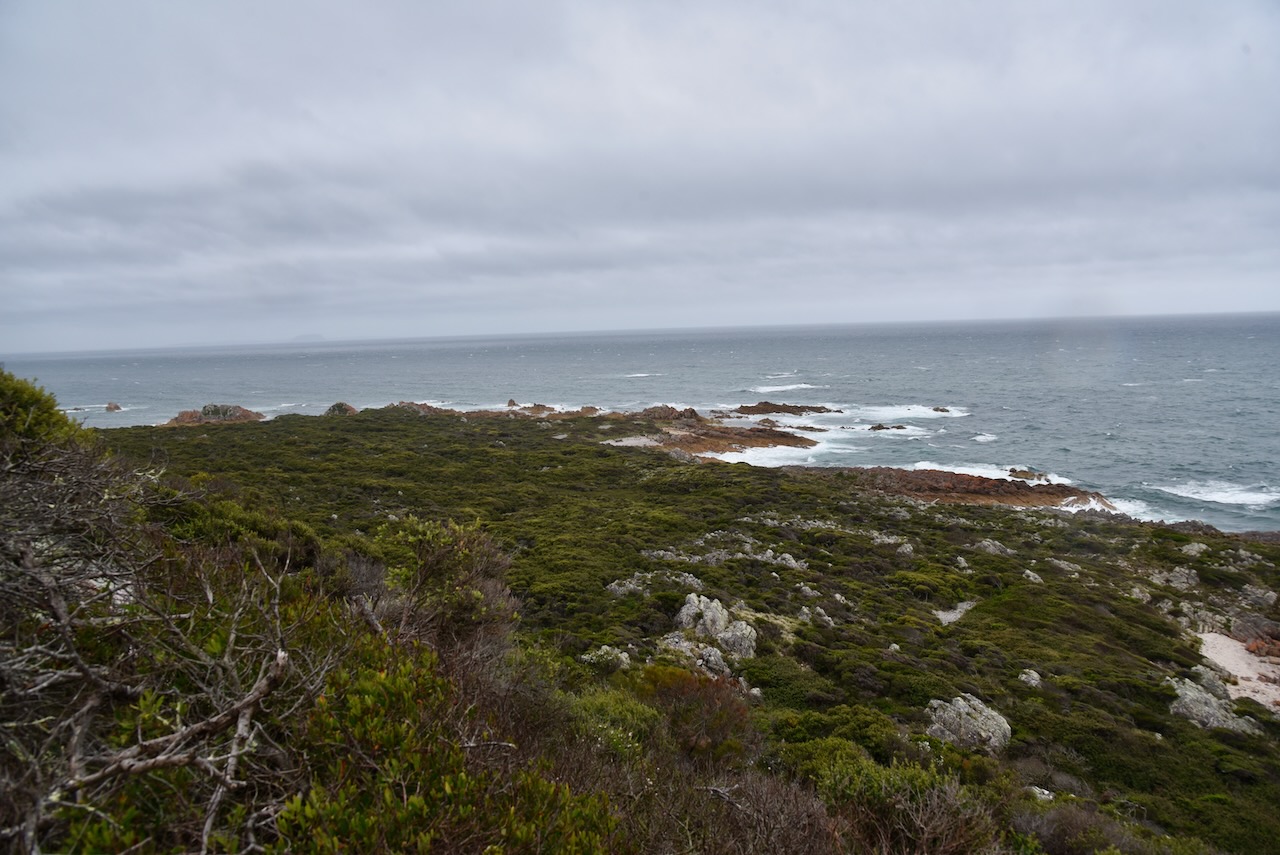
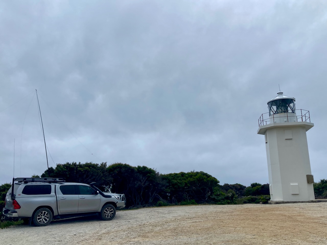
It was a very bleak, cold, and wet afternoon and operating spots were scarce away from the extremely high winds. We drove to the Rocky Cape lighthouse and set up there.
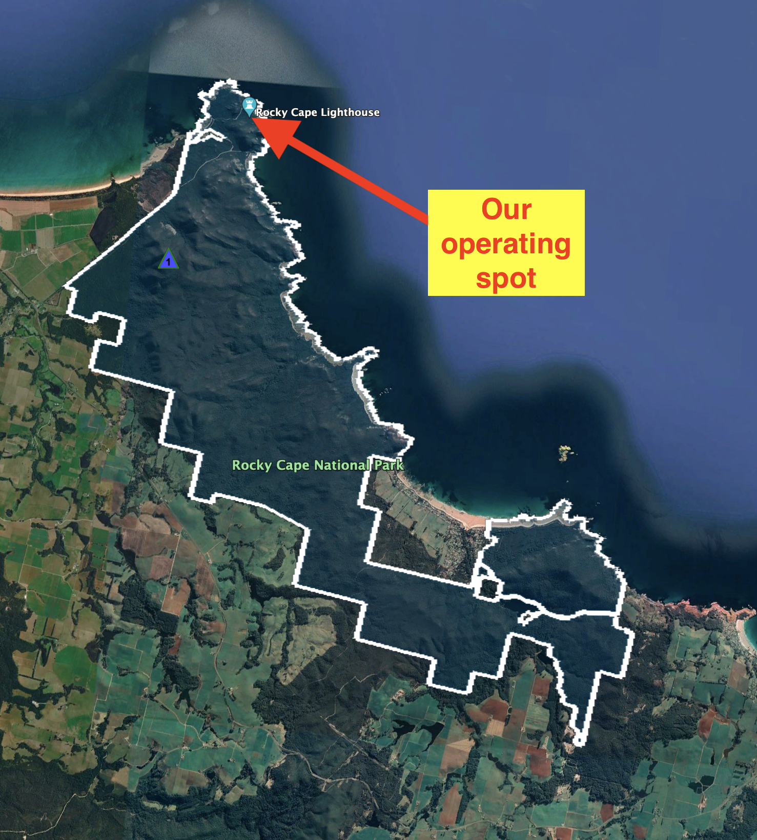
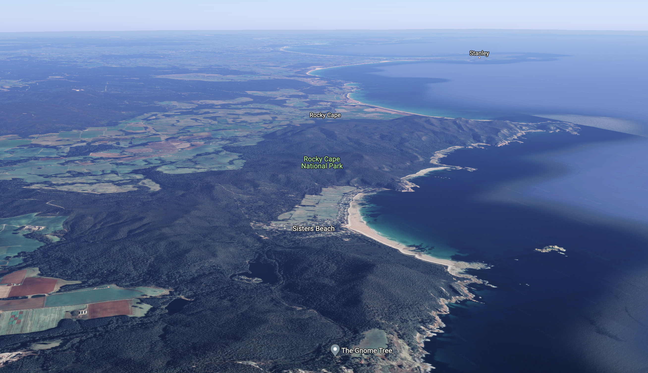
Above:- An aerial shot of the Rocky Cape National Park showing our operating spot. Image c/o Google Earth.
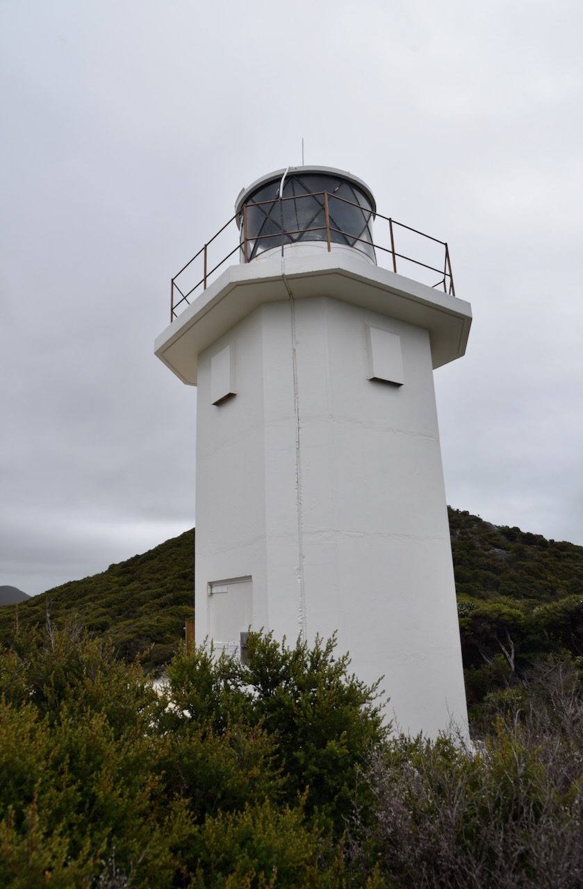
The Rocky Cape lighthouse is a relatively new lighthouse, having been erected in 1968. It is white in colour and squared shaped, made of concrete. It has a mains powered Chance Brothers 400mm catadioptric lens.

As it was so cold and bleak that we operated from the vehicle, using the Yaesu FT857, 40 watts, and the 20/40/80m linked dipole. There wasn’t enough room to string out the 80m sections of the dipole unfortunately. The squid pole certainly got a lashing from the high winds and rain.
Marija and I made a total of 72 QSOs from Rocky Cape, including 19 Park to Park contacts.
Marija made the following QSOs on 40m SSB:-
- VK3BEZ/p ( Tarra Bulga National Park VKFF-0480)
- VK3TUN/p (Crawford River Regional Park VKFF-0963)
- VK3TKK/p (Mount Charlie Flora Reserve VKFF-2396)
- VK2EXA
- VK3ZPF/p (Reef Island and Bass River Mouth Nature Conservation Reserve VKFF-2181)
- VK7GH
- VK3GJG
- VK3SQ
- VK3UH
- VK3VIN
- VK2HHA
- VK2OKR/p (Wallingat National Park VKFF-0512)
- VK3BEZ/p (Traralgon South Flora Reserve VKFF-2465)
- VK2IO/p (Garigal National Park VKFF-0191)
- VK2EG/p (Sugarloaf State Conservation Area VKFF-1772)
Marija made the following QSOs on 20m SSB:-
- VK6MB/p (Canning River Management Area VKFF-2955)
I made the following QSOs on 40m SSB:-
- VK3BEZ/p ( Tarra Bulga National Park VKFF-0480)
- VK3TUN/p (Crawford River Regional Park VKFF-0963)
- VK3TKK/p (Mount Charlie Flora Reserve VKFF-2396)
- VK2EXA
- VK3ZPF/p (Reef Island and Bass River Mouth Nature Conservation Reserve VKFF-2181)
- VK7GH
- VK3GJG
- VK3SQ
- VK3UH
- VK3VIN
- VK2HHA
- VK3MH
- VK3ZSC
- VK1DI
- VK3MIJ
- VK1TTY
- VI2022PRIDE
- VK3PMC
- VK5BJE
- VK2MET
- VK1AO
- VK3BWS
- VK4FW
- VK8MM
- VK3BNF
- VK2OKR/p (Wallingat National Park VKFF-0512)
- VK3DL
- VK3UAO
- VK3BEZ/p (Traralgon South Flora Reserve VKFF-2465)
- VK3ACZ
- VK2IO/p (Garigal National Park VKFF-0191)
- VK3DCQ
- VK2KJJ
- VK3QH
- VK2EG/p (Sugarloaf State Conservation Area VKFF-1772)
- VK3KAI/p (Traralgon South Flora Reserve VKFF-2465)
- VK7JFD
- VK3ABI
- VK7IAN
- VK3YUN
- VK7AAE
- VK5AYL
- VK3OHM
- VK3SRC
- ZL1BQD
- VK3AHR
- VK2VW
- VK2HFI
- VK3HBG
I worked the following stations on 20m SSB:-
- VK3BBB/5
- VK2CCP/5
- VK4NH
- VK4DXA
- VK6MB/p (Canning River Management Area VKFF-2955)
- ZL1TM
- VK4HAT
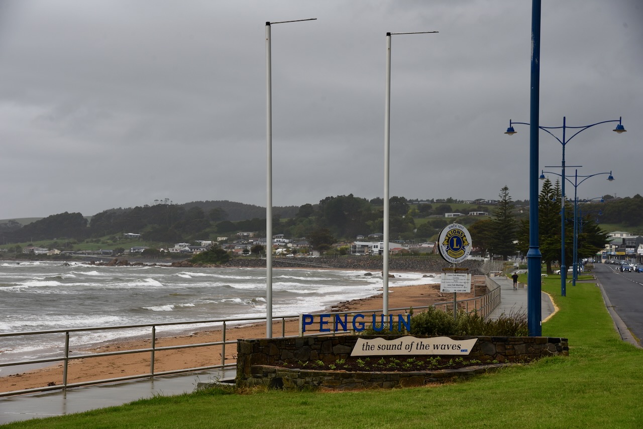
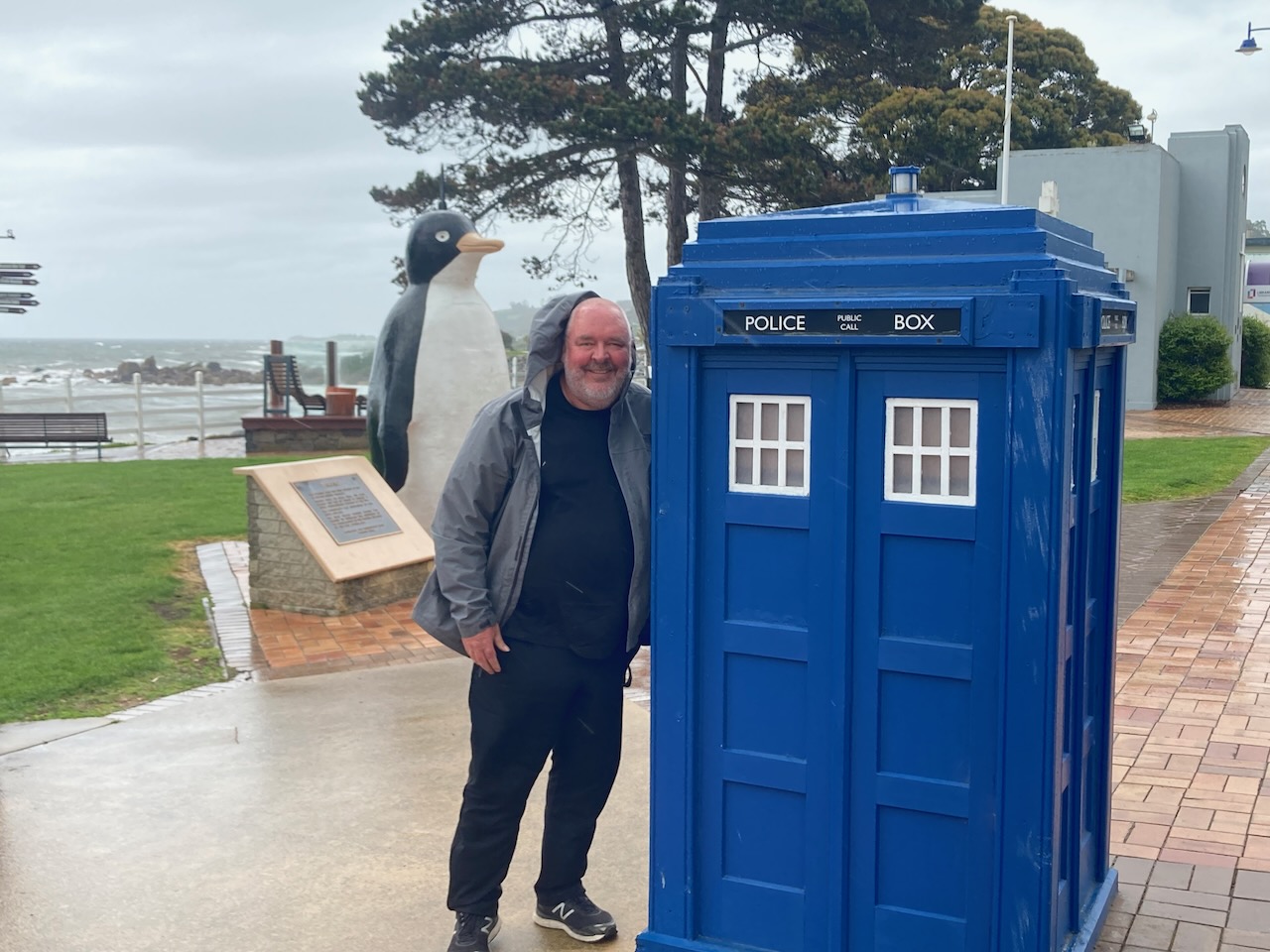
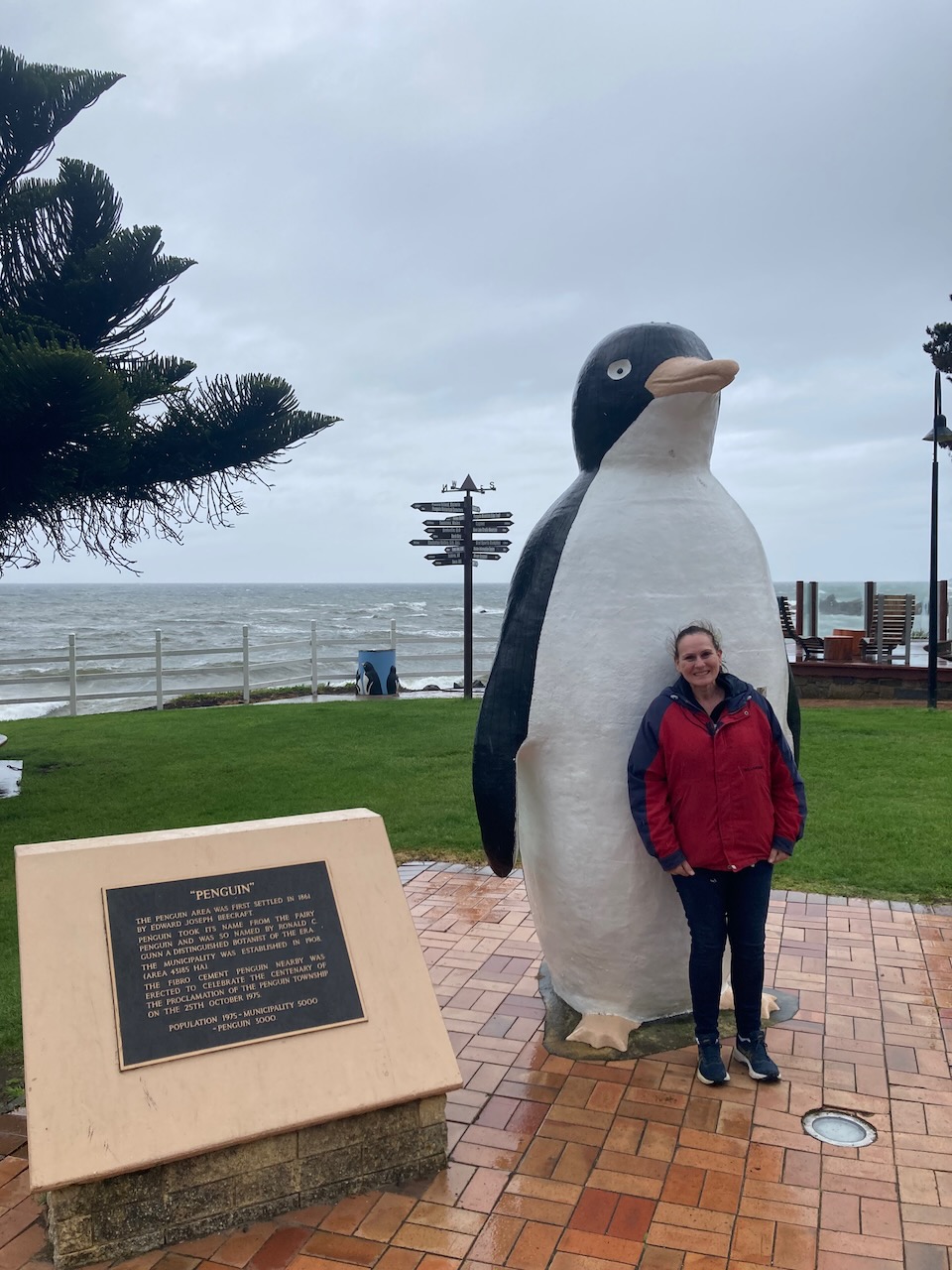
Marija and I then hit the road and drove west towards Devonport. We stopped briefly in the little town of Penguin to stretch our legs.
The town of Penguin was proclaimed on the 25th day of October 1875. It had been settled in 1861 as a timber town. It was named by botanist Ronald Campbell Gunn for the Little Penguin population found along the coastline.
We continued on to Devonport and that evening we boarded the Spirit of Tasmania and headed back to the mainland of Australia.


It had been a fantastic three and a bit weeks in Tasmania.
References.
- Lighthouses of Australia Inc, 2023, <https://lighthouses.org.au/tas/rocky-cape-lighthouse/>, viewed 8th January 2023.
- Tasmania Parks and Wildlife Service, 2023, <https://parks.tas.gov.au/explore-our-parks/rocky-cape-national-park>, viewed 8th January 2023.
- Where in Tasmania?, Dennison, C.J., July 2003.
- Wikipedia, 2023, <https://en.wikipedia.org/wiki/Rocky_Cape_National_Park>, viewed 8th January 2023.
