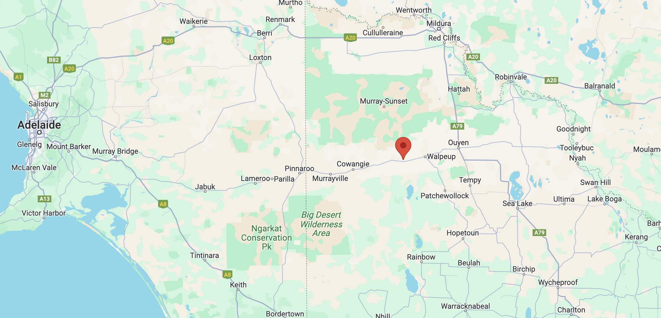
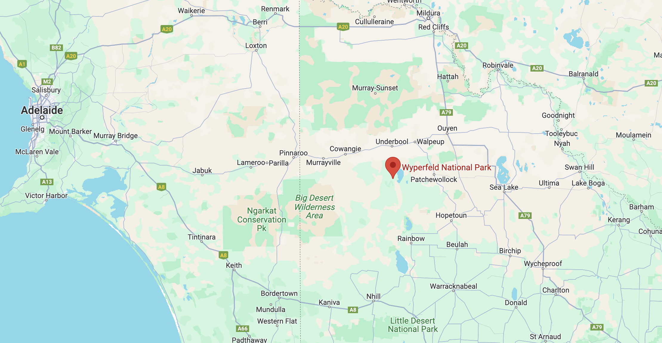
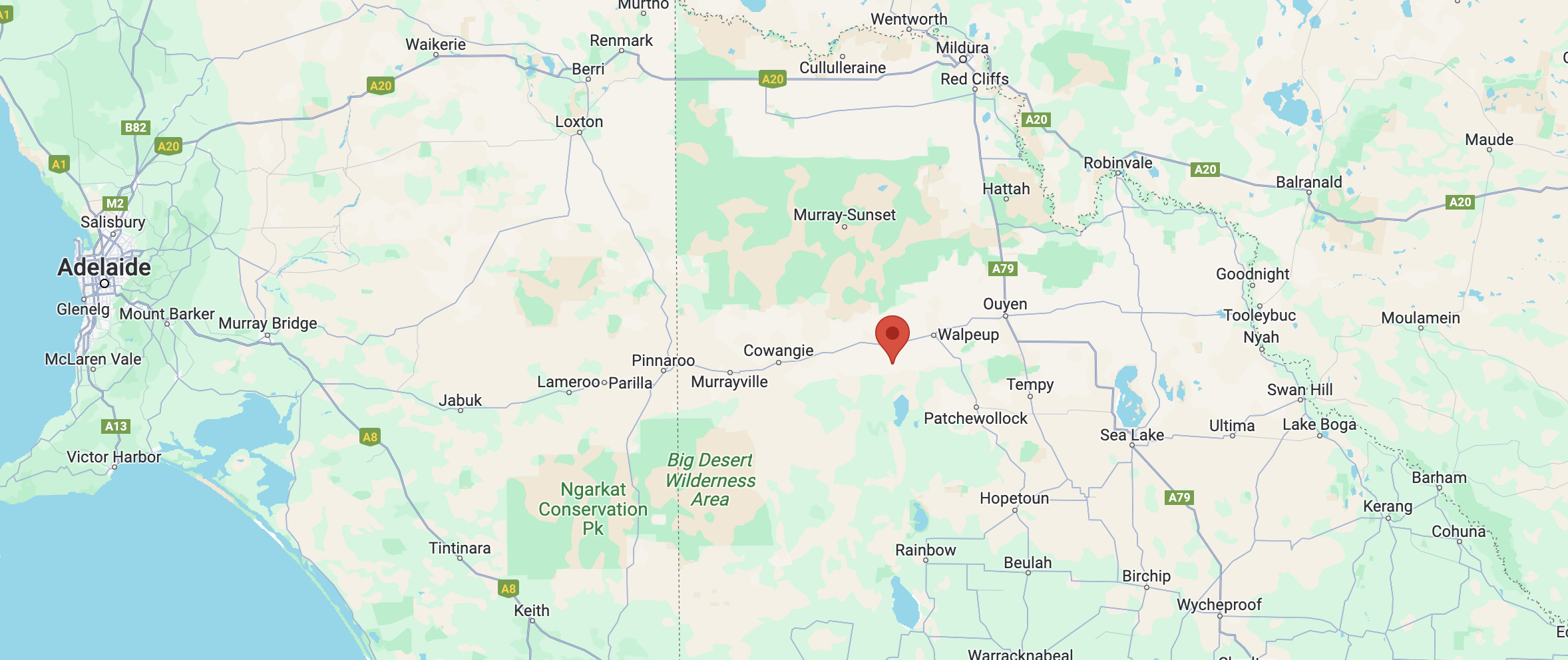
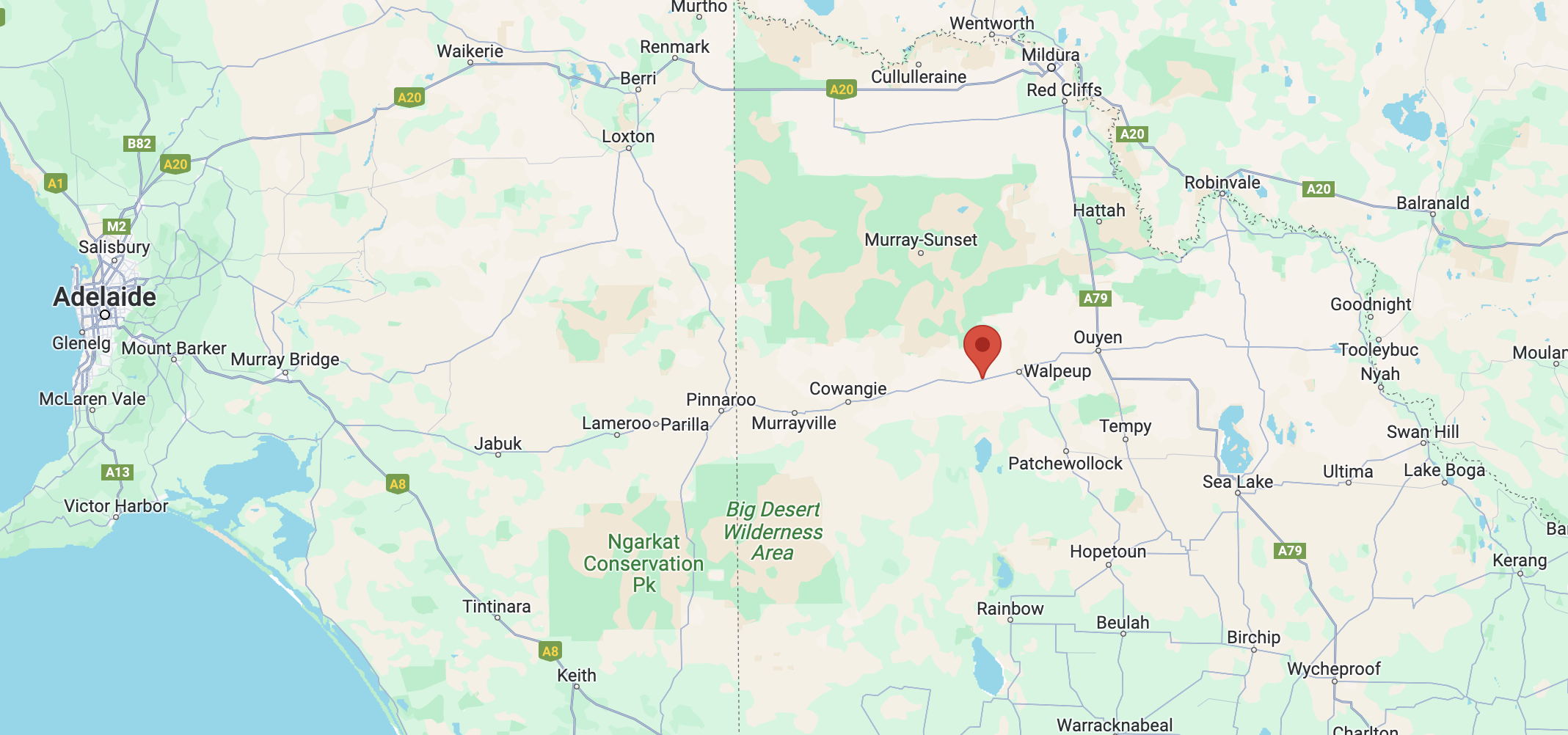
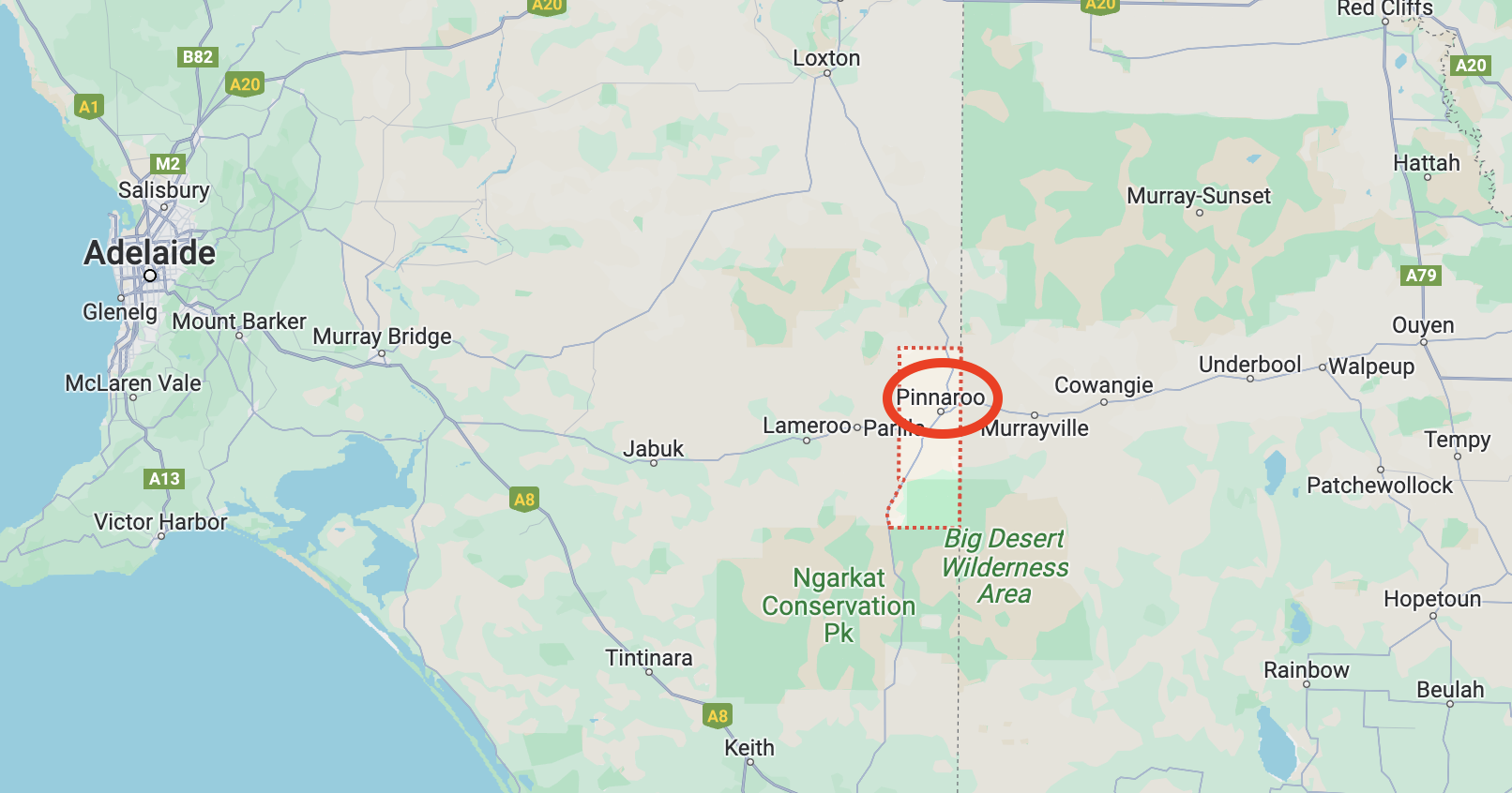
It was now time to activate the Wyperfeld National Park VKFF-0549 as part of the Keith Roget Memorial National Parks Award (KRMNPA) Activation Weekend. The park is located about 450 km northwest of Melbourne.
Above:- Map showing the location of the Wyperfeld National Park. Map c/o Google Maps.
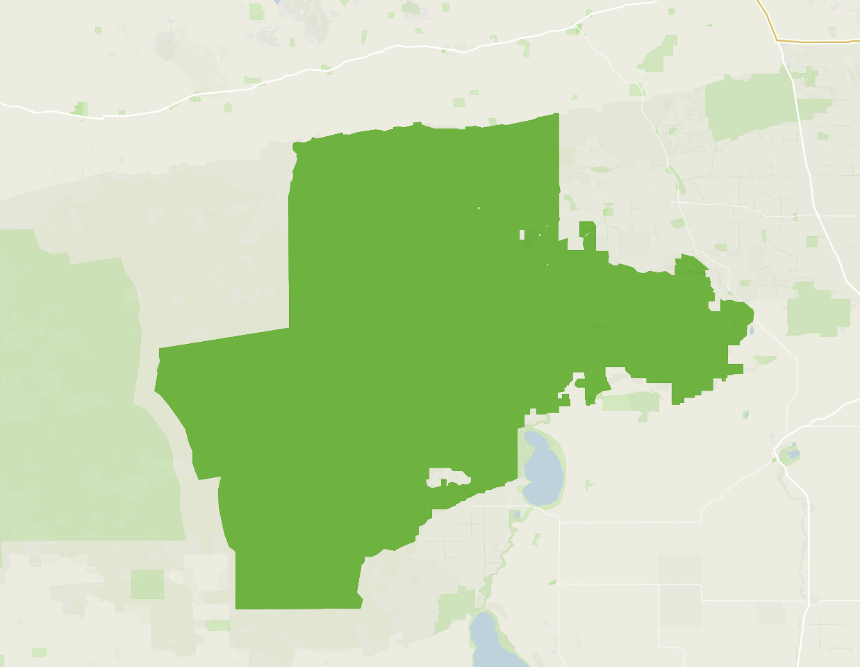
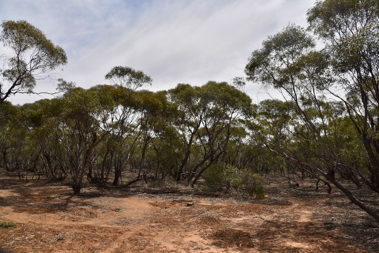
The Wyperfeld National Park was established in 1921. It is about 357,017 hectares in size and it is the third largest National Park in Victoria.
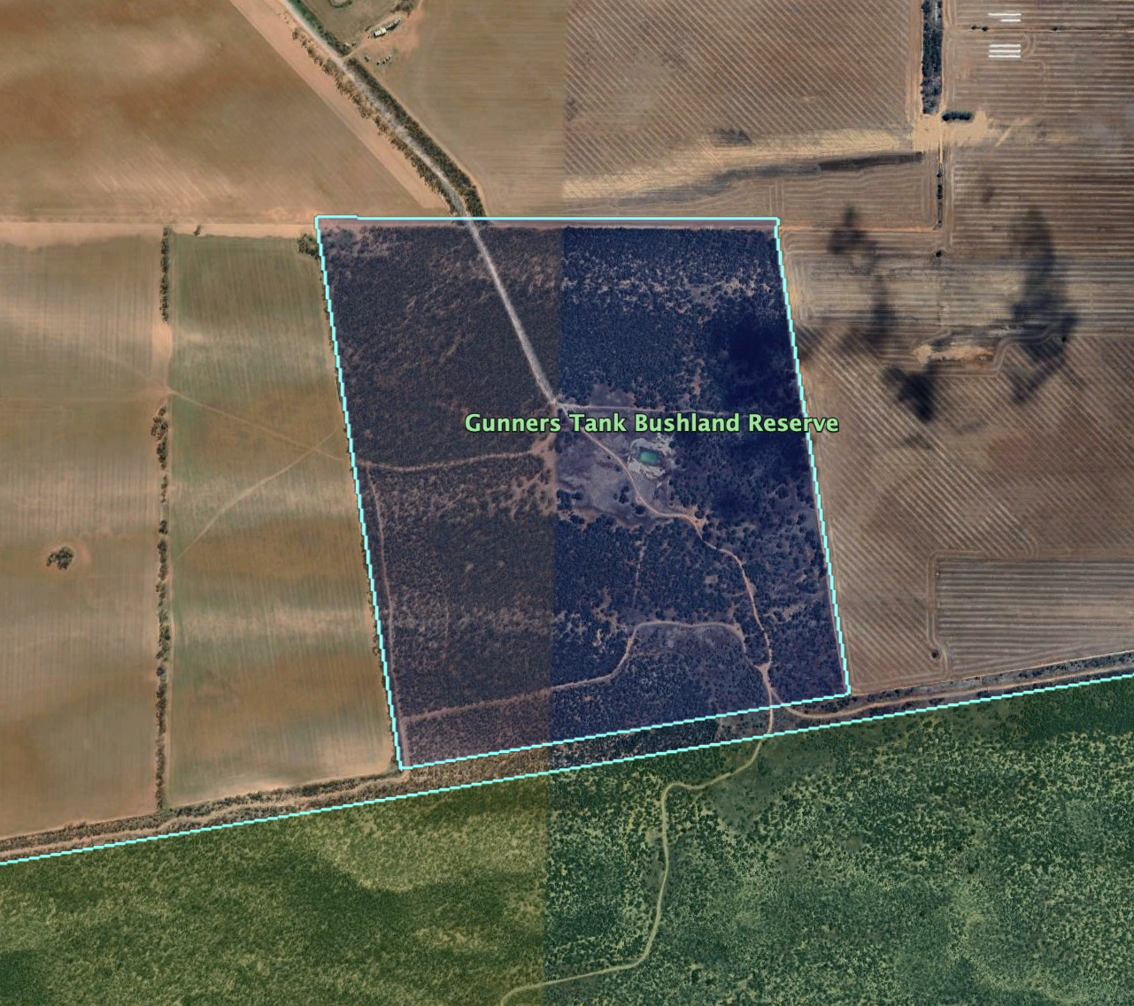
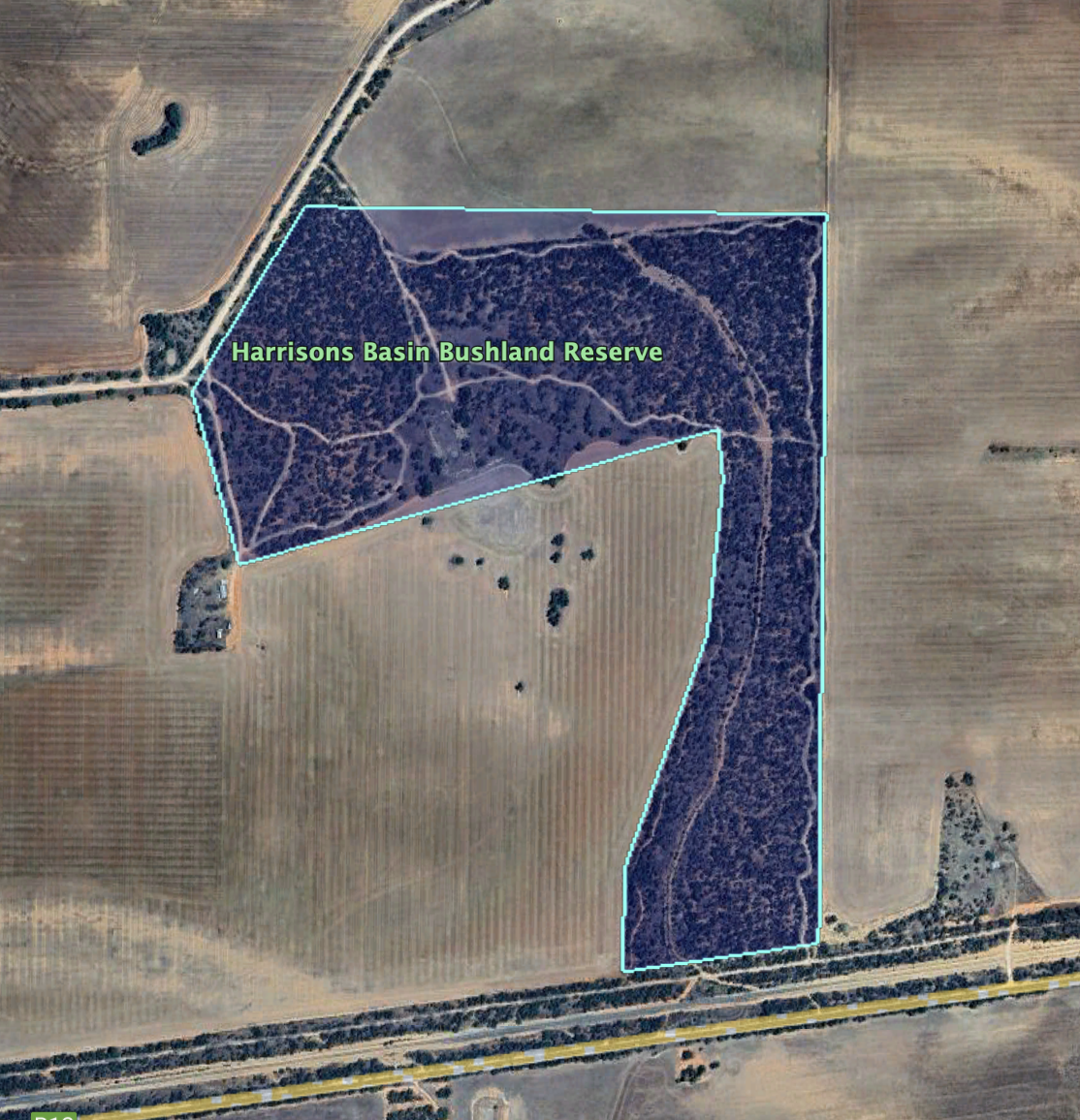
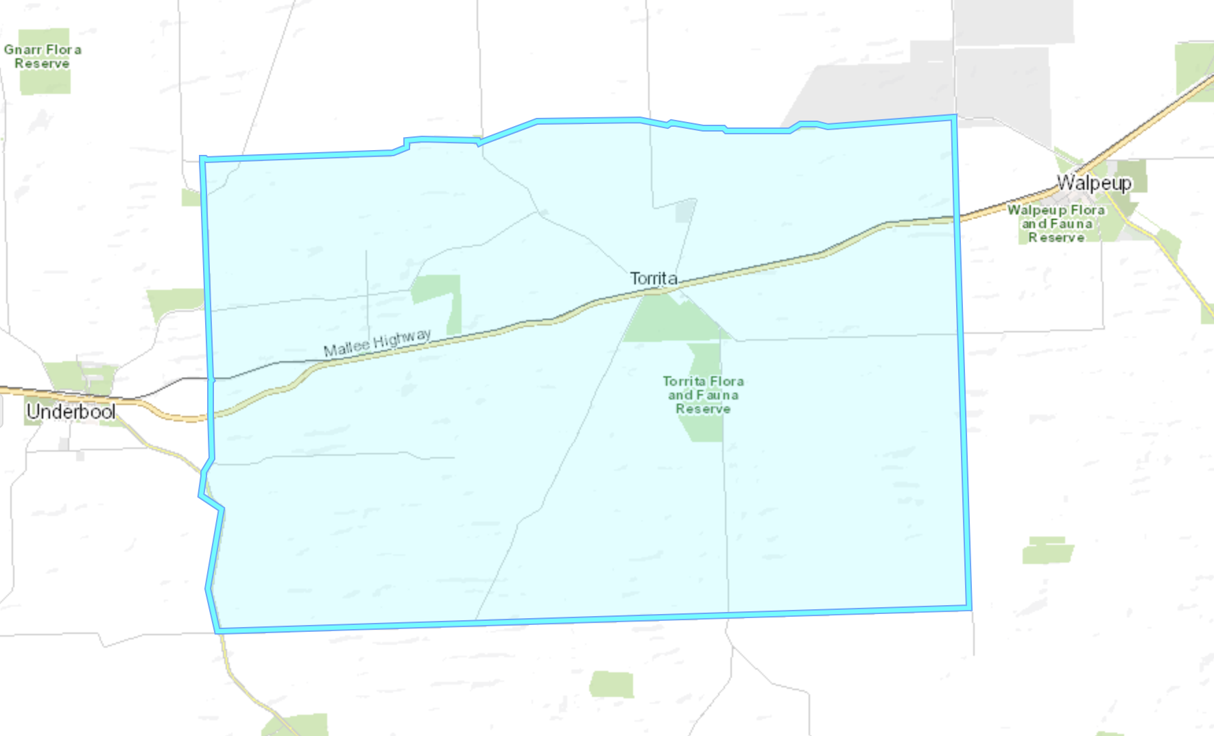
Above:- Boundary map of the Wyperfeld National Park. Image c/o Protected Planet.
The name Wyperfeld is of Germanic origin: Wyper meaning tributary of Rhine River, and feld meaning field. It is believed to have been made by the Prussian settler who came to the Wimmera-Mallee region from South Australia.
Before European settlement of the area, the land was occupied by the Wotjobaluk aboriginal people. They regularly travelled along Outlet Creek Tyakil‐ba‐Tyakil visiting the various lakes and swamps.
Wypefeld was originally divided into pastoral leases during the 1860s.
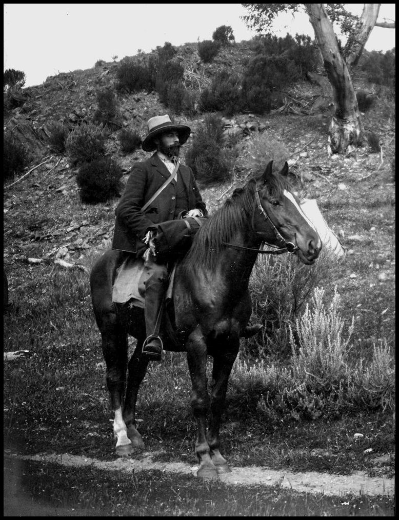
In 1898 naturalist Archibald James Campbell (b. 1853. d. 1929) and Charles McLennan (later appointed as the first ranger at Wilsons Promontory National Park) visited the area which was to become Wypefeld National Park. In the Victorian Naturalist he stated ‘for dinner we had scrambled Mallee Hen eggs; and they proved first-class diet.‘
Above:- Archibald James Campbell. Image c/o Wikipedia.
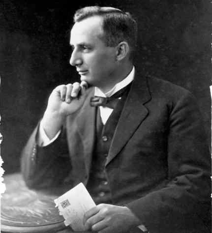
In September 1907, a prominent ornithologist Arthur Herbert Evelyn Mattingley (b. 1870. d. 1950) and two associates Jack Ross and Frank Howe, visited the Wyperfeld area. Mattingly insisted that it should be made a reserve for nature lovers. He described it as a ‘paradise for nature lovers.’ In 1909 he was successful in having about 9,000 acres of land temporarily set aside around the Wonga Basin. At the time Victoria had only three National Parks: Tower Hill, Wilsons Promontory, and Mount Buffalo.
Above:- Arthur Mattingley. Image c/o Wikipedia.
Mattingley continued to visit the Wyperfeld National Park, often leading parties of field naturalists.
Above:- Article from The Argus, Melbourne, Mon 14 Nov 1932. Image c/o Trove.
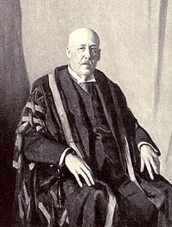
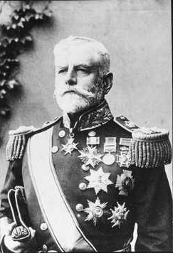
Sir James William Barrett (b. 1862. d. 1945) was the Chairman of the National Parks Association, and he was instrumental in having the Wyperfeld National Park declared in 1921.
Above:- Sir James WIlliam Barrett. Image c/o Wikipedia.
Wyperfeld was once a shallow sea, from about 25 million years ago until fairly recent times. Wyperfeld’s current landforms are a result of the sea gradually retreating, leaving a vast expanse of sandy sediment. These formed into sand dunes about 40,000 to 15,000 years ago.
Wyperfeld contains a series of ephemeral lakes. Ephemeral lakes remain flooded annually for short periods, but may not hold water for several years due to rainfall. Before European settlement of the area, the Wyperfeld ephemeral lakes filled and emptied, on average about every 20 years. Due to agricultural irrigation and drainage projects in the district, much of Wyperfeld’s water supply has been cut off.
During years of good rainfall, the Wimmera River fills Lake Hindmarsh, which then overflows along Outlet Creek and into Lake Albacutya.
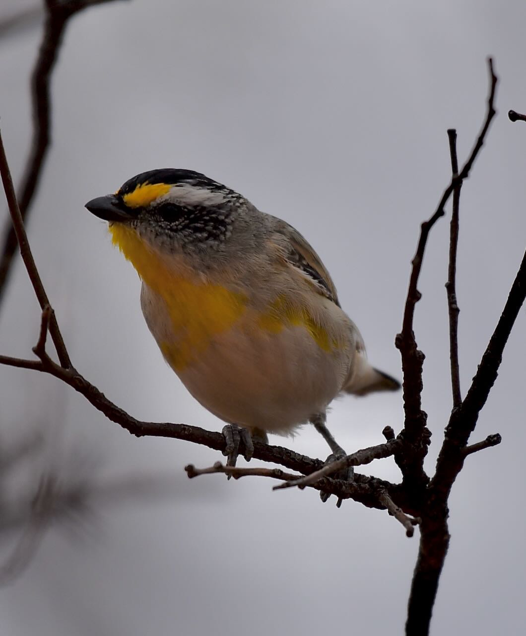
The park is part of the Wyperfeld, Big Desert and Ngarkat Important Bird Area, identified by BirdLife International due to its importance for the conservation of the vulnerable Malleefowl and other Mallee birds.
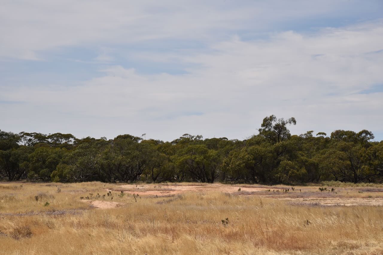
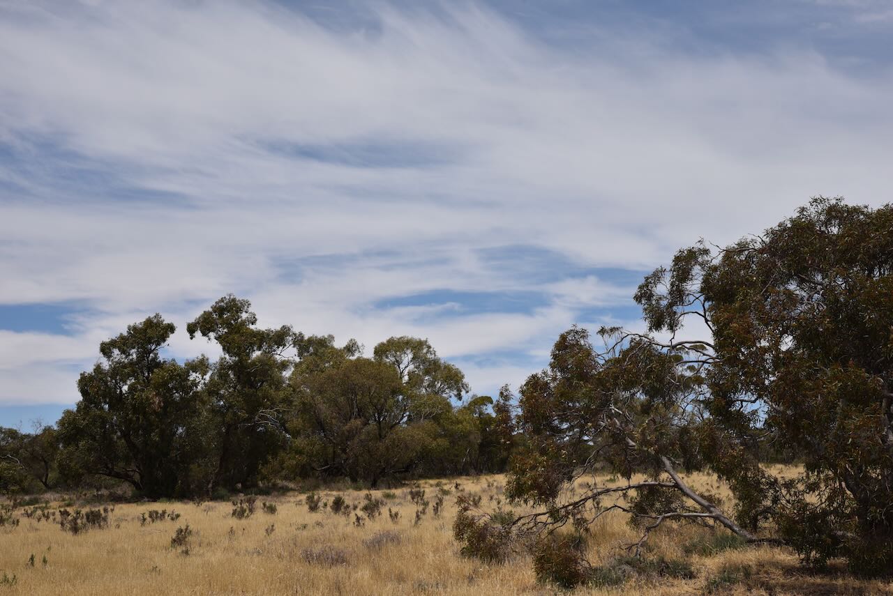
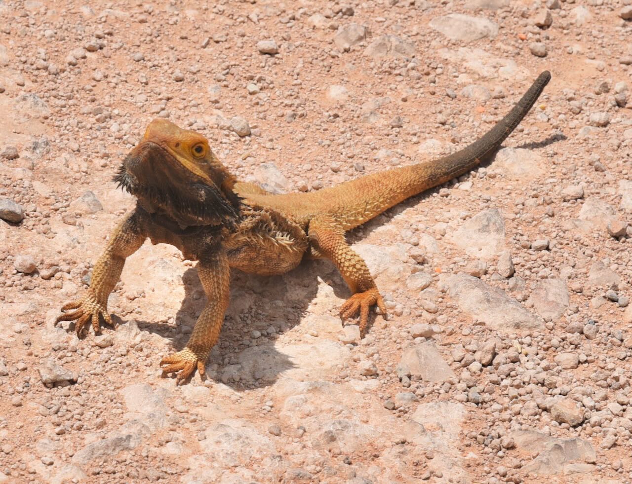
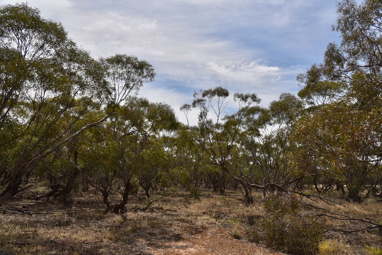
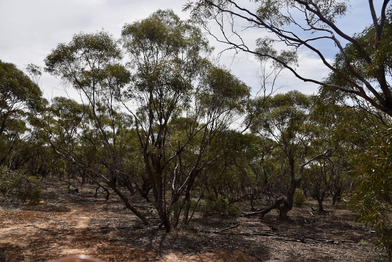
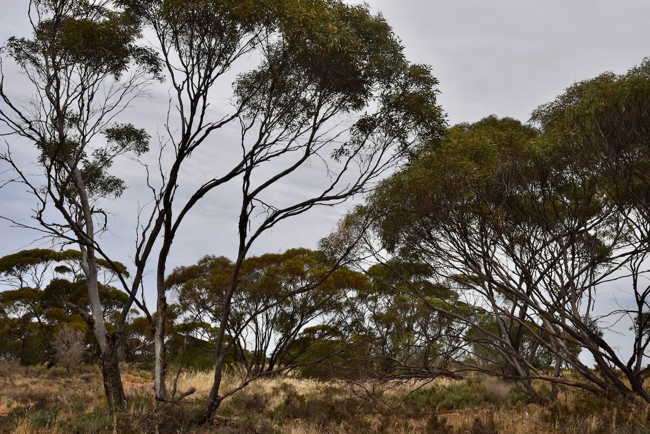
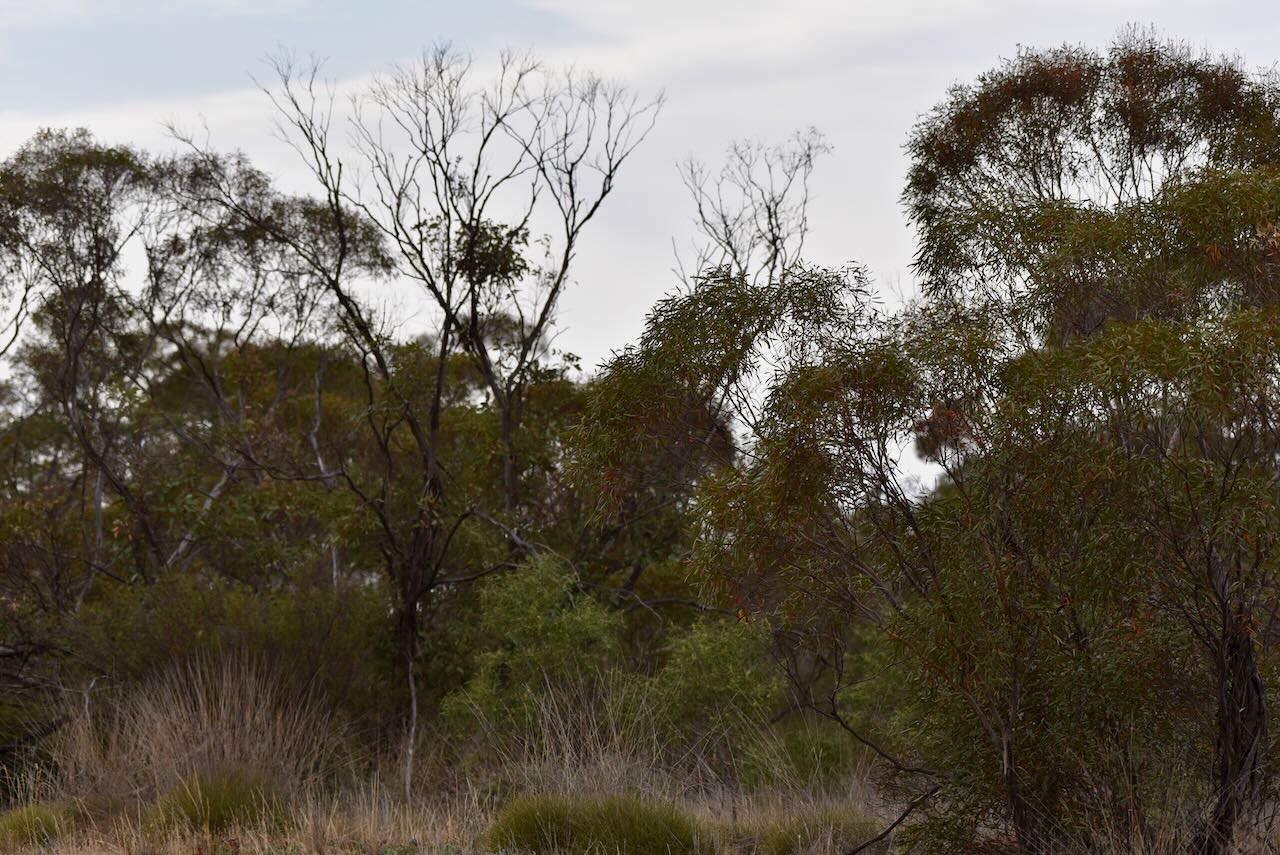
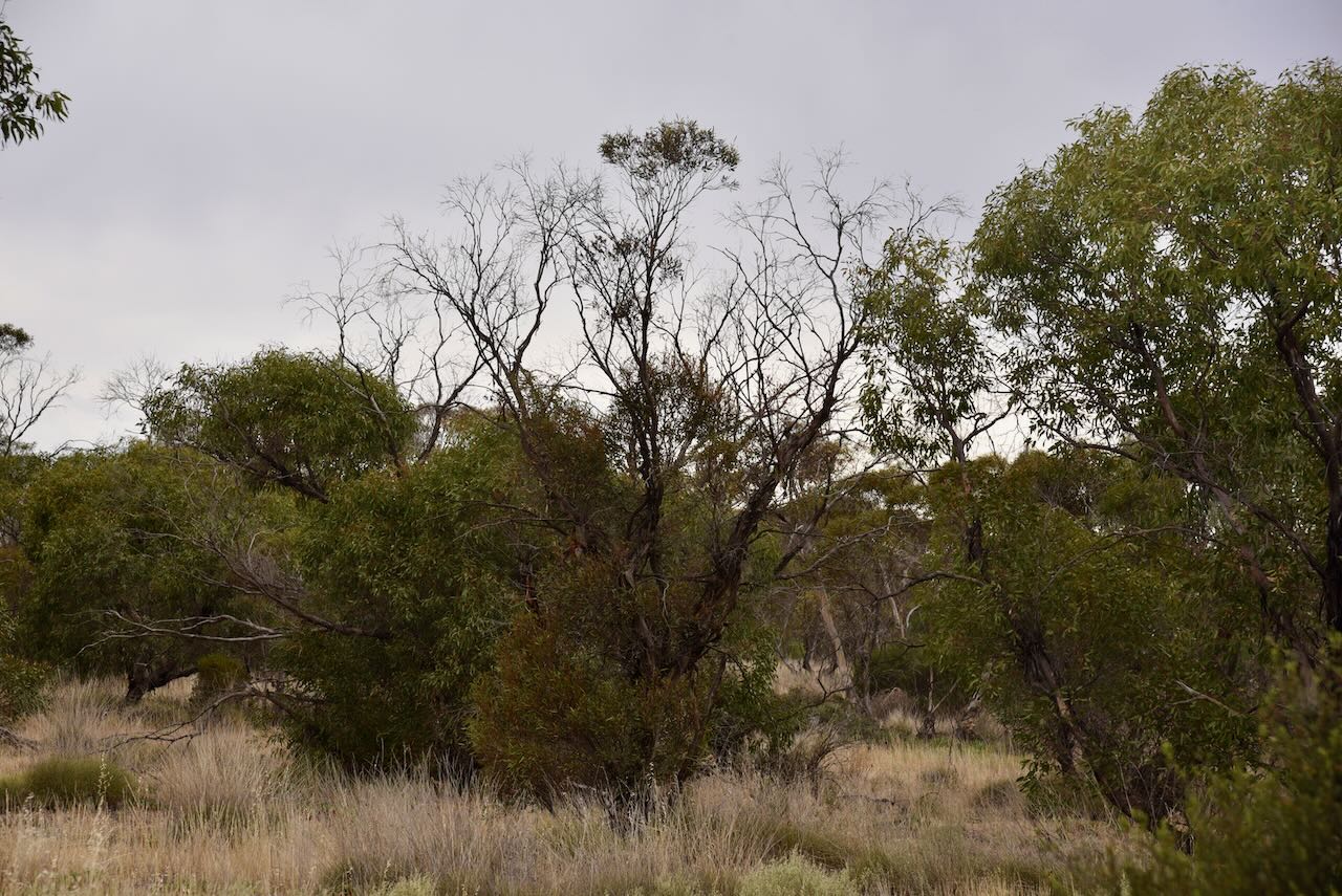
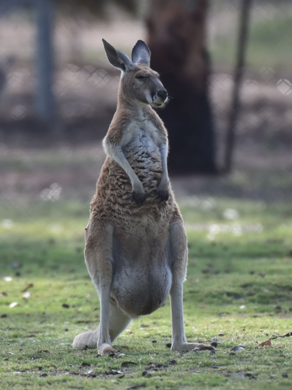
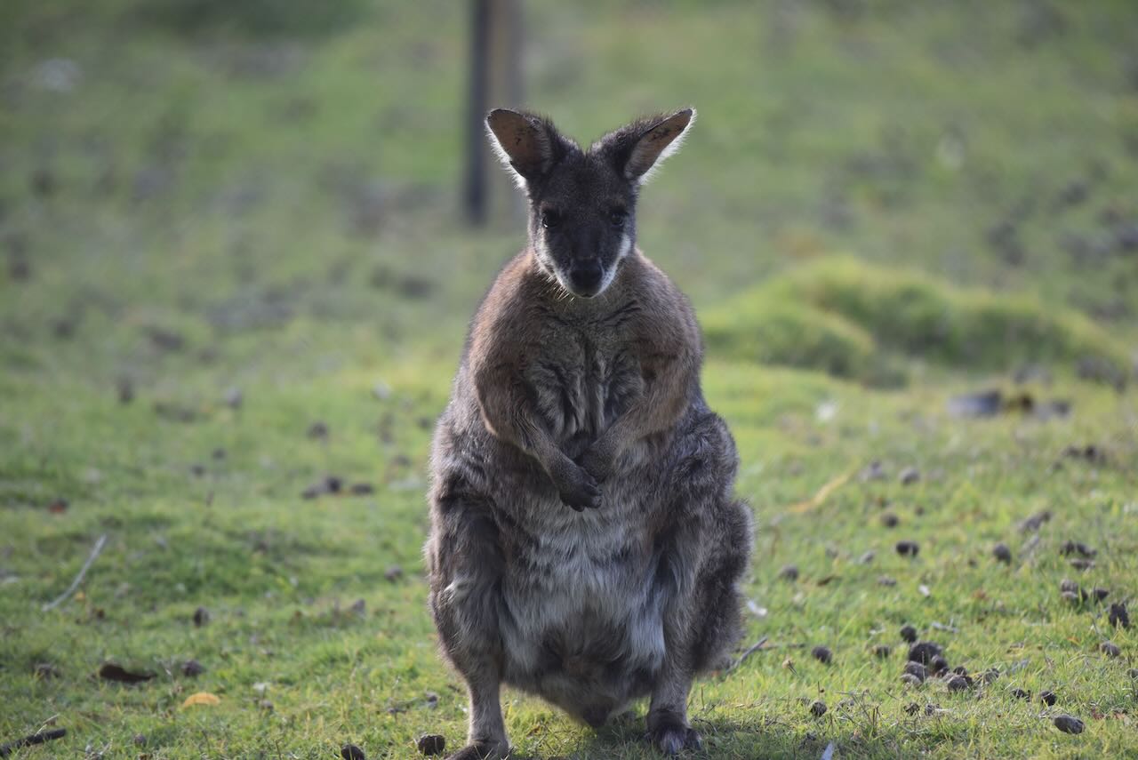
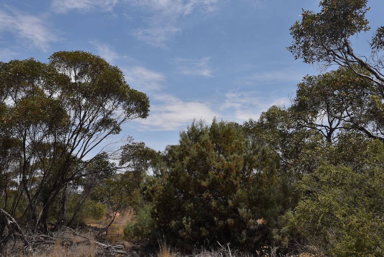
About 450 species of native plants can be found in Wyperfeld. Various Australian mammals call the park home, including Western Grey Kangaroo, Red Kangaroo, Black Wallaby, Fat-tailed Dunnart, and Western pygmy possum.
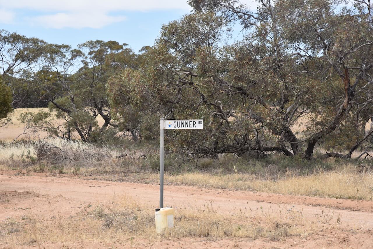
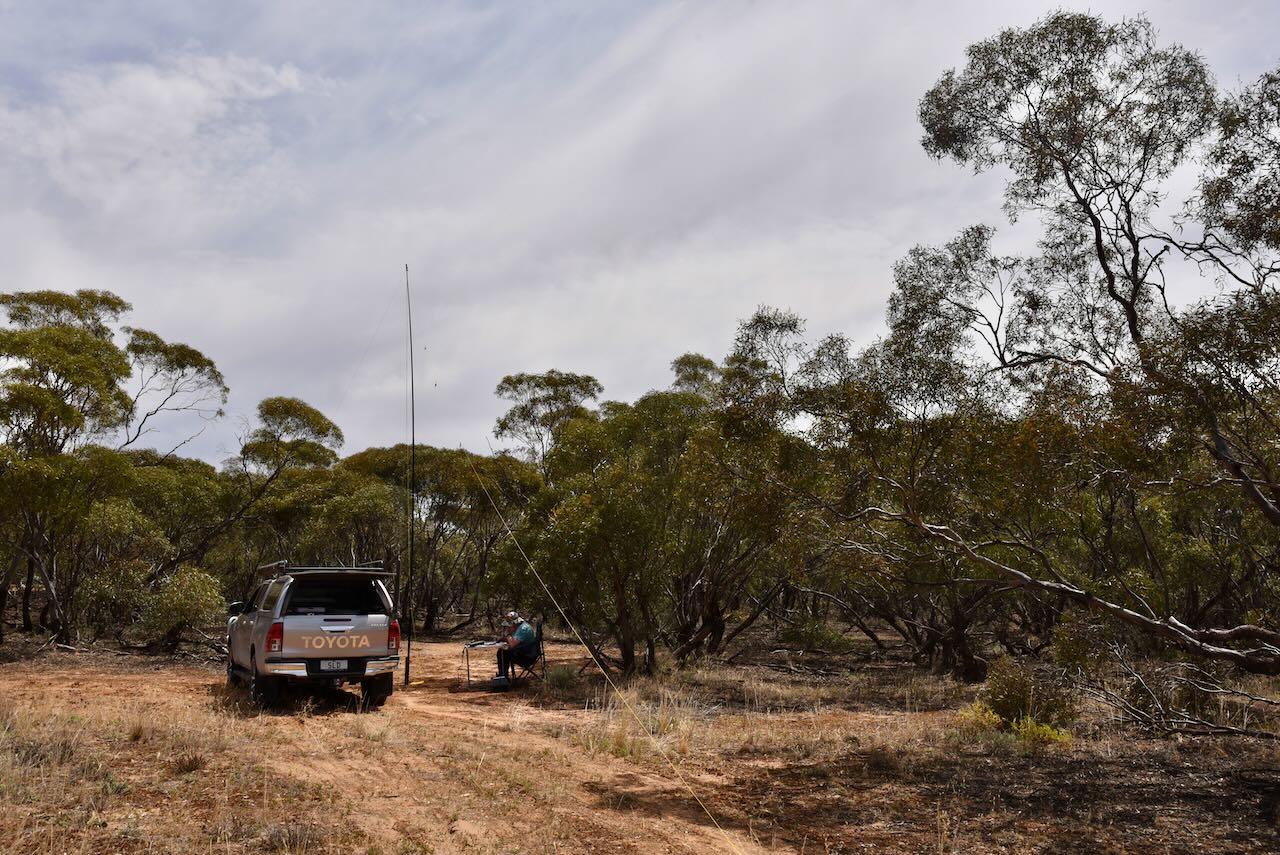
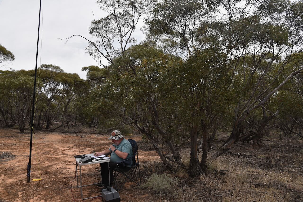
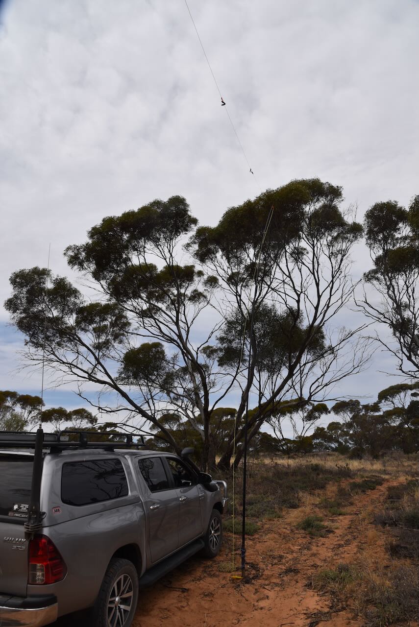
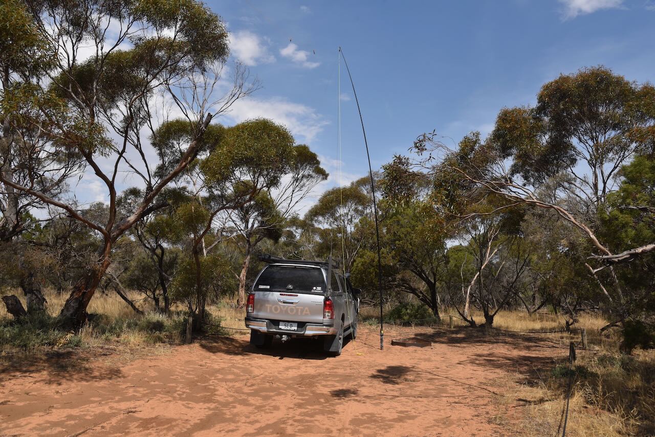
We only had a short drive from Gunners Tank to be inside the Wyperfeld National Park. I used the special event call of VI10VKFF for this activation. We ran the Yaesu FT857, 40 watts, and the 20/40/80m linked dipole supported on the 7-metre heavy- duty telescopic squid pole.
Marija worked the following stations on 20m SSB:-
- VK6LMK
- VK2IO/p (Bronzewing Flora & Fauna Reserve VKFF-2280)
- VK4JJ
- VK2NP
- ZL2HIM
- VK4MUD
- VK1RF
- VK2MK
- VK4CEE
- VK4FOX
- VK4OWL
Marija worked the following stations on 40m SSB:-
- VK3XCI/p (Terrick Terrick National Park VKFF-0630)
- VK5AV/p (Mornington Peninsula National Park VKFF-0333)
I worked the following stations on 20m SSB:-
- VK6LMK
- VK2IO/p (Bronzewing Flora & Fauna Reserve VKFF-2280)
- VK4JJ
- VK2NP
- ZL2HIM
- VK4MUD
- VK1RF
- VK2MK
- VK4CEE
- VK4FOX
- VK4OWL
- VK1AO
- VK2MET
- VK2EME
- VK4JT
- Vk4ABF
- VK2BYO
- VK4EMP
- VK4TI
- VK7HCK
- VK4EW
I worked the following stations on 40m SSB:-
- VK3XCI/p (Terrick Terrick National Park VKFF-0630)
- VK3UH
- VK2KYO
- VK3PF
- VK3KAI
- VK3OAK
- VK3APJ
- VK3CEO
- VK5FANA
- VK1AD
- VK1NAM
- VK5LA
- VK5KAW
- VK5AV/p (Mornington Peninsula National Park VKFF-0333)
- VK3YV
- VK5TN
- VK3VIN
- VK3SG
- VK3DAC
- VK3AEK/m
- VK3EJ
I worked the following stations on 40m AM:-
- VK3PF
- VK3KAI
References.
- Blake, L, 1977, Place Names of Victoria.
- Durham, G, 2001, Wyperfeld Australia’s first Mallee park
- Nickolls, J, Angel, A, 2002, Mallee Tracks.
- Parks Victoria, 2024, <https://www.parks.vic.gov.au/places-to-see/parks/wyperfeld-national-park>, viewed 8th January 2024.
- Parks Victoria, 2024, Wyperfeld National Park Visitor Guide
- Science Direct, 2024, <https://www.sciencedirect.com/topics/earth-and-planetary-sciences/ephemeral-lake>, viewed 8th January 2024.
- Wikipedia, 2024, <https://en.wikipedia.org/wiki/Wyperfeld_National_Park>, viewed 8th January 2024.