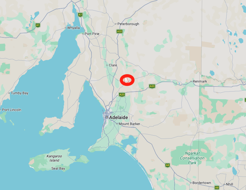
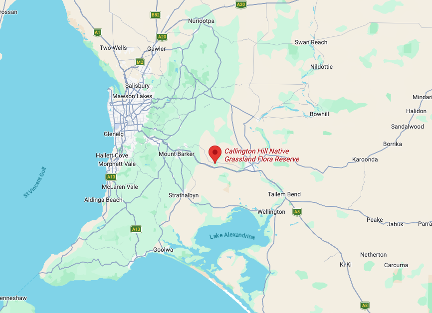
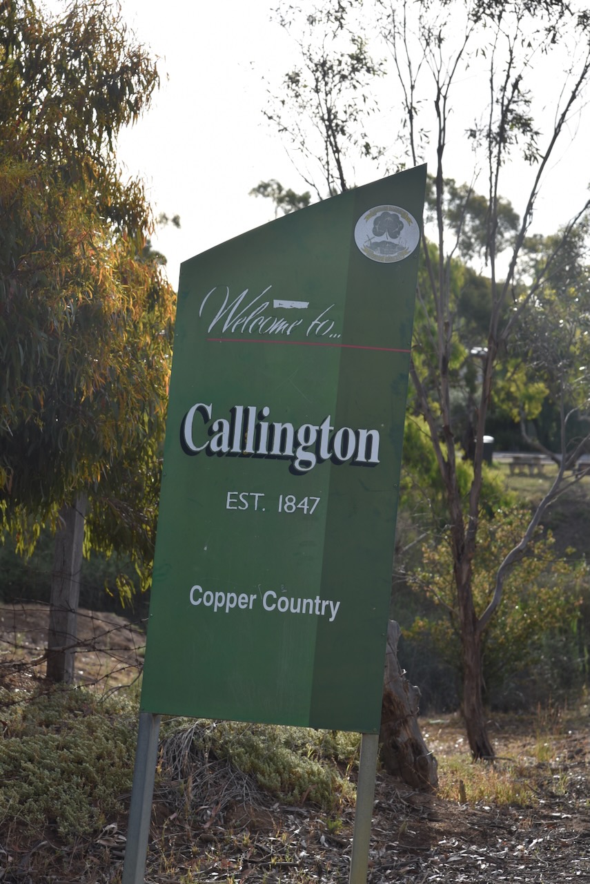
Our first park for Sunday, the 23rd day of November 2025, and day two of the 2025 VKFF Activation Weekend, was the Callington Hill Native Grassland Reserve VKFF-4031. The park is about 57 km southeast of Adelaide.
Above: Map showing the location of Callington Hill Native Grassland Reserve. Map c/o Google Maps
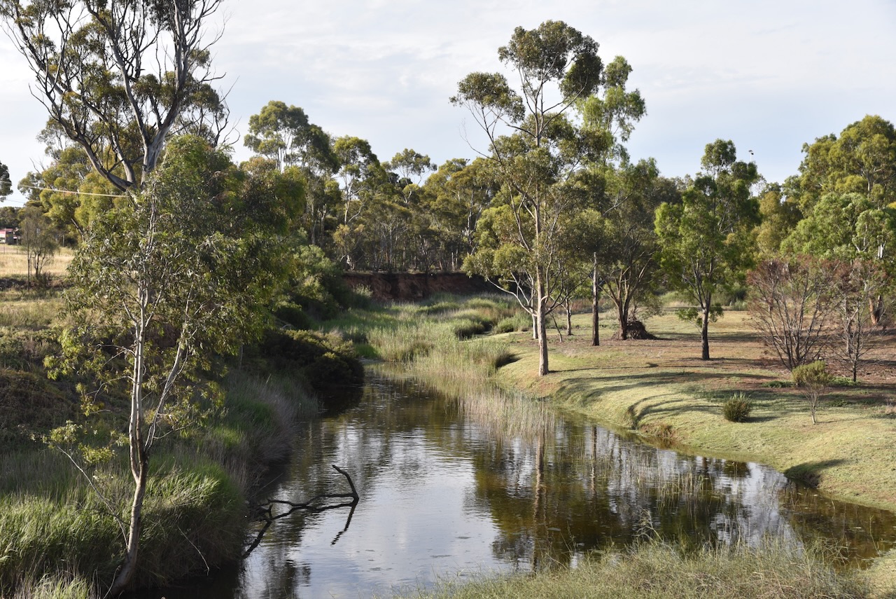
Callington is located on the Bremer River and is located on the eastern slopes of the Mount Loft Ranges ‘Adelaide Hills.’ It has a population of about 478 people. (Wikipedia 2026)
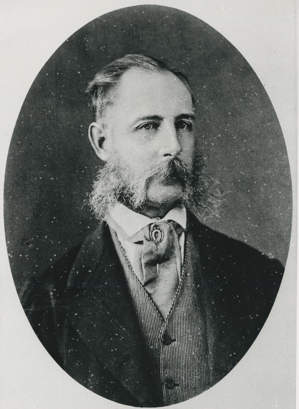
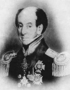
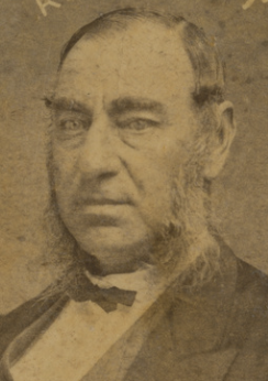
Prior to the town of Callington being established, the area was referred to as Bremer. The Bremer region was named in honour of Sir James Bremer, the founder of the Post Essington settlement in the Northern Territory. (Callington 2021) (Flickr 2026)
Above: Sir James Bremer. Image c/o Trove
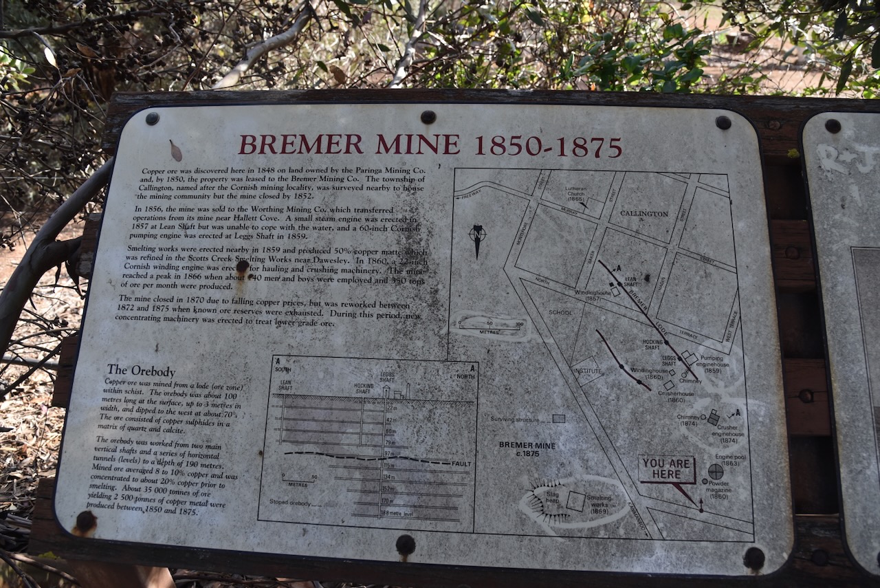
By the late 1840s, several farmers had settled in the Bremer district, while others worked small mineral lodes. They lived in temporary structures along the Bremer River. Many of these settlers had established small farms as tenant farmers of the South Australian Company and proprietors of the Paringa Mining Company who had taken up 20,000 acres of land under a Special Survey following the discovery of copper at nearby Kanmantoo. Nearly 100 people are estimated to have been living in the district in the late 1840s. (Callington 2021) (Southaustralianhistory.com.au, 2026)
The South Australian Company was established in 1835 in England and was responsible for the establishment of the new colony of South Australia. It was founded by George Fife Angas and several other wealthy British merchants. (May n.d.)
In c. 1848, a local, John Kiernan, was travelling in the area in his horse and dray. His dray broke upon a rock to reveal the distinctive colour of copper. Kiernan received a £50 reward from the Mining Claims Office, which equated to about 6 months of wages. (Callington 2021) (Flickr 2026) (Grokipedia 2026) (Wikipedia 2026)
In 1848, the Bremer Smelting Works, trading as the Bremer Smelting Company, was established north of Callington on the Bremer River by two brothers from Cornwall, John and Mauris Thomas. They initially focused on low-grade ore from the Kanmantoo mines (Callington 2021) (SA Heritage Council 2022)
Mauris Thomas was born c. 1804 in Illogan, Cornwall, England. In 1825, he married Mary Ann Perkins. His younger brother, John Thomas, was born in c. 1810, also in Illogen. In 1838 he married Ann Lee Curnow. Mauris and John emigrated to South Australia in January 1848 aboard the Success. John died in July 1857 in Sandhurst, Victoria. In 1859, Mauris and his family left Australia and travelled to Chile, where he died in 1882. (ancestry 2016)
In 1849, the South Australian Government commenced a survey of a new road direct from Balhannah to Wellington on the Murray River. The road passed through the site of a planned township being surveyed on the Paringa property located on the Bremer River. (Callington 2021) (Flickr 2026) (Wikipedia 2026)
The town of Callington was surveyed and laid out between 1849 and 1852. Its design was influenced by Colonel William Light, South Australia’s first Surveyor-General. The township of Callington was established to serve the mining community. It took its name from the copper mining town of Callington in Cornwall, England. In addition to the Cornish settlers, Callington also had people of German and Irish origin. (Grokipedia 2026) (Wikipedia 2026)
By 1850, the Bremer Mining Company was leasing the land where the copper was discovered. The following year, in 1852, the mine closed. This was due to insufficient capital required for mining and the exodus of miners to the goldfields in Victoria. (Grokipedia 2026) (Wikipedia 2026)
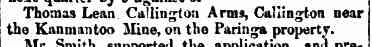
In 1850, a general licence was issued to Thomas Lean for the Callington Arms. (Trove 2026)
Above: item from the South Australian, Tue 19 Mar 1850. Image c/o Trove
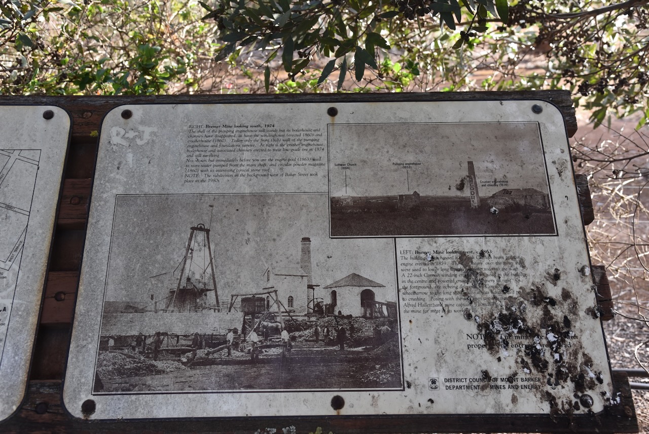
In 1856, the mine was sold to the Worthing Mining Company. They transferred their operations from the mine near Hallett Cove. Copper had been discovered on Worthing farm along the Field River which was owned by John Hallett. In 1857, a small steam engine was erected at Lean Shaft to pump out 500,000 litres of water per day. However, it was unable to cope with the water, and a 60-inch Cornish pumping engine was erected at Leggs Shaft in 1859. Smelting works were also erected nearby in 1859. It was refined in the Scotts Creek Smelting Works near Dawesley. In 1860, a 22-inch Cornish winding engine was erected for hauling, crushing, and ore dressing. (Callington 2021) (Council 2021) (Flickr 2026) (Grokipedia 2026) (Wikipedia 2026)
At this time, the mine was managed by Alfred Hallett. He transformed the Callington mine into South Australia’s model copper mine for efficiency. Hallett was born in 1814 in London and emigrated to South Australia in 1838. The southern Adelaide suburb of Hallett Cove is named after his brother John. Hallett Avenue in Tranmere is named in honour of Alfred. Alfred died in November 1877 at Medindie, South Australia. (Council 2021) (Grokipedia 2026)
Above: Alfred Hallett. Image c/o State Library South Australia
In 1859, the Tavistock Hotel opened in Murray Street. It closed in 1881. Unfortunately, the hotel no longer exists. (Beeradelaide.com 2022) (Callington 2021)
In June 1859 a mining fete was held in Callington and The South Australian Advertiser reported:
“…and the tw hotels, the Callington Inn and the Tavistock Hotel, kept respectively by Mr McLean and Mr Charles Kingston, had very fortunately provided plenteously for all the comforts, as well as the requirements of the inner man.” (Trove 2026)
The township of East Callington was established in 1865, with stores and hotels being opened. A swing bridge for pedestrian traffic was constructed over the Bremer River, which consolidated the two towns. (Callington 2021)
Above: article from the Adelaide Observer, Sat 7 Oct 1865. Image c/o Trove
The mine reached its peak operation in 1866 when up to 140 men and boys were employed at the mine. About 350 tons of ore were produced each month. (Grokipedia 2026)
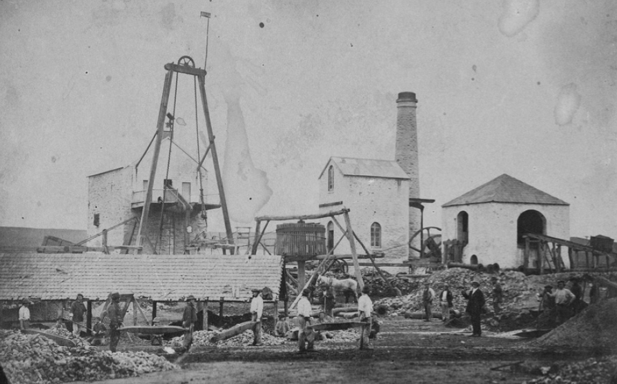
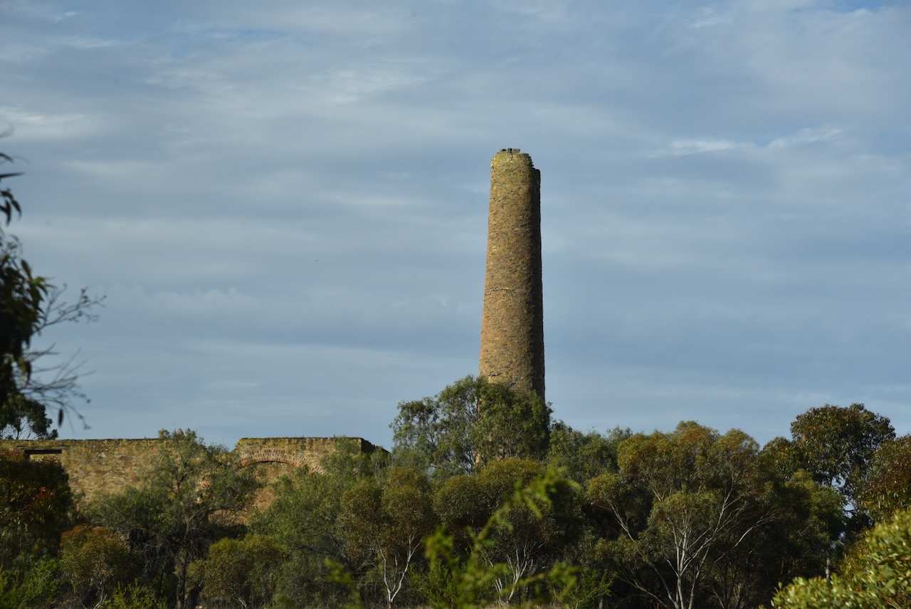
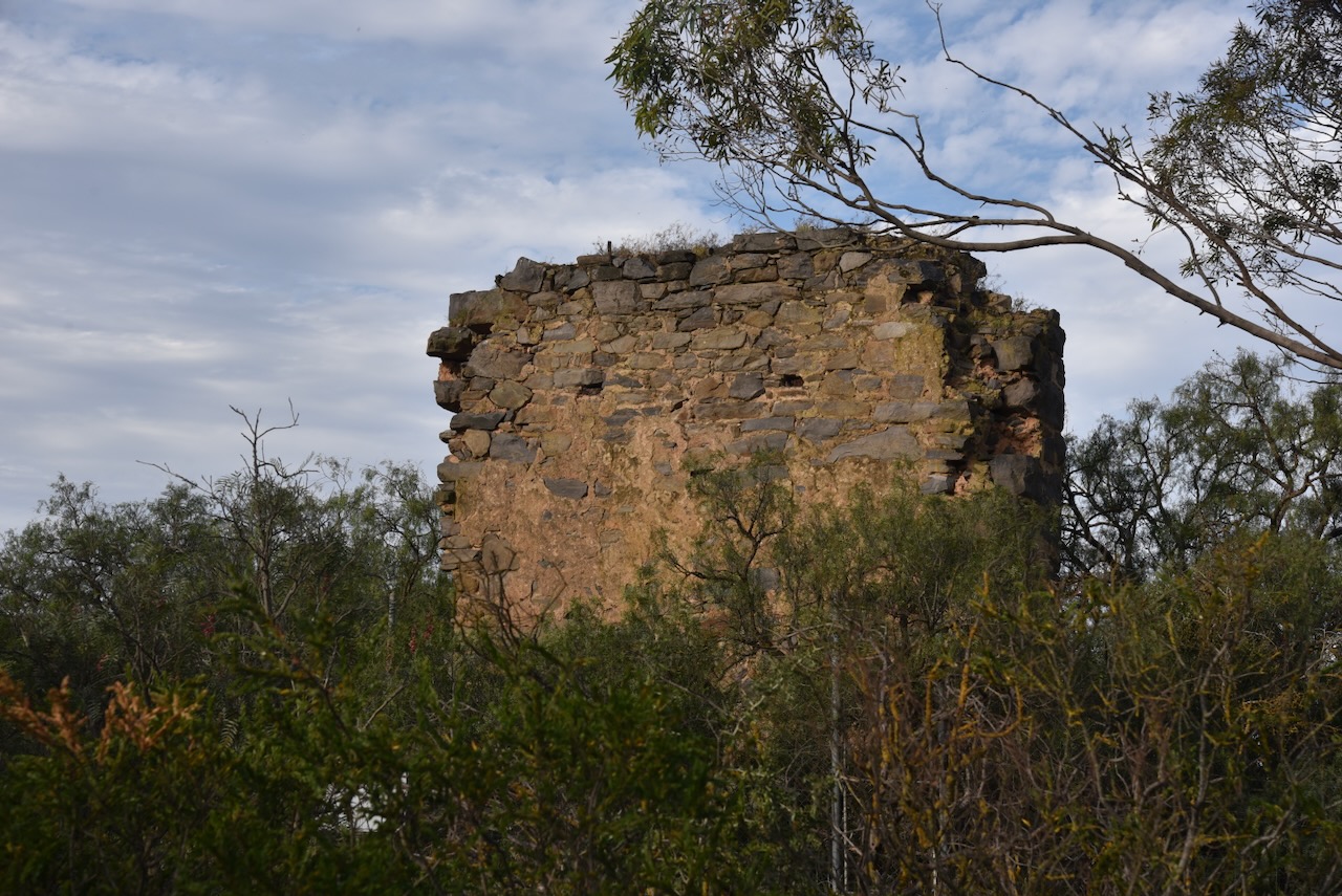
The mine closed in 1870 due to falling copper prices and the Worthing Mining Company falling into liquidation owing over £100,000. In 1872, the Bremer Mine Company took over operation of the mine once again. The Cornish chimney stack and the stone engine house were built in 1874. The mine was reworked between 1872 and 1875 when known ore reserves were exhausted. (Flickr 2026) (Grokipedia 2026) (Wikipedia 2026)
In 1872, Callington had six stores, including a blacksmith’s shop, a bank, and several churches. (Callington 2021)
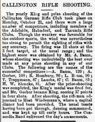
Callington had its own German Rifle Club, with various competitions being held. (Callington 2021) (Trove 2026)
Above: article from The Express & Telegraph, Adelaide, Thu 24 Oct 1872. Image c/o Trove
At the time of the mine’s closure in 1875, Callington’s population was 235 people. By 1881, this had dropped to 148. (Flickr 2026)
Above: the Bremer mine, 1875. Image c/o State Library South Australia
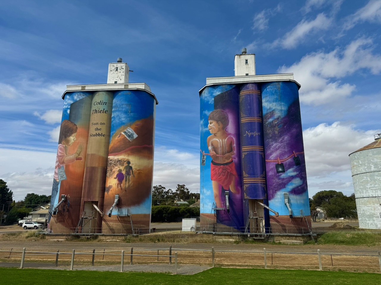
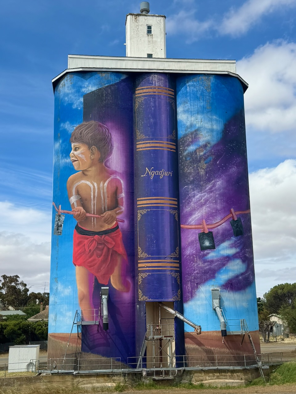
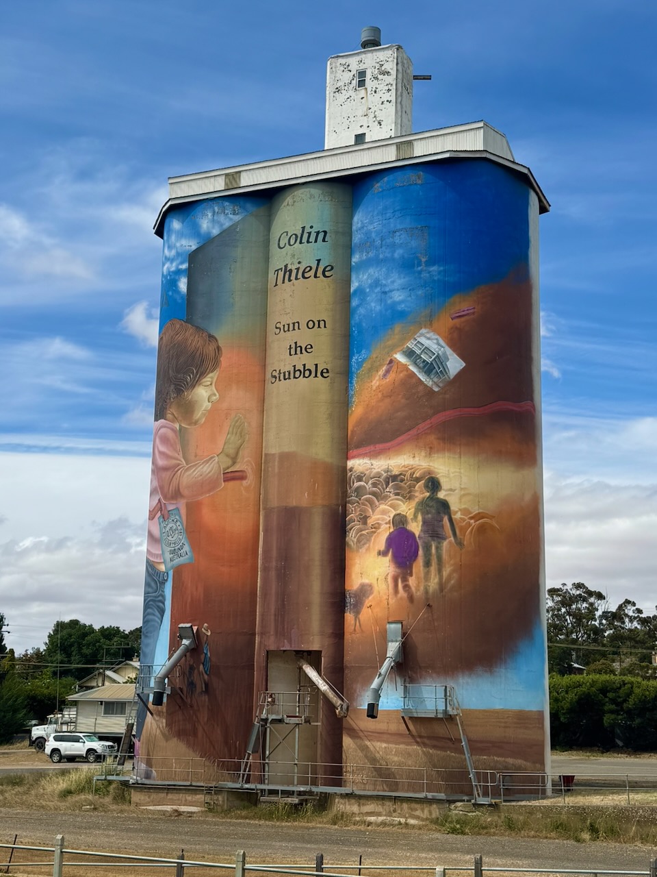
Several buildings in Callington are listed on the South Australia State Heritage Register. An area encompassing the entire town of Callington and the Bremer Mine site was added in 1980 to the Register of the National Estate. Due to Callington’s heritage feel, several movies have been filmed in the town, including Golden Fiddles (1990), The Battlers (1994), and Rain Shadow (2007). (Callington 2021)
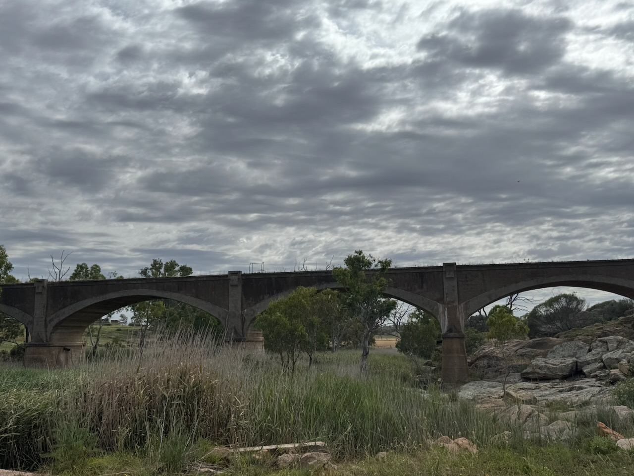
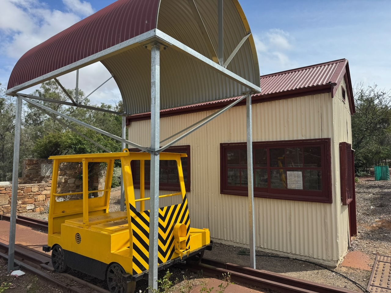
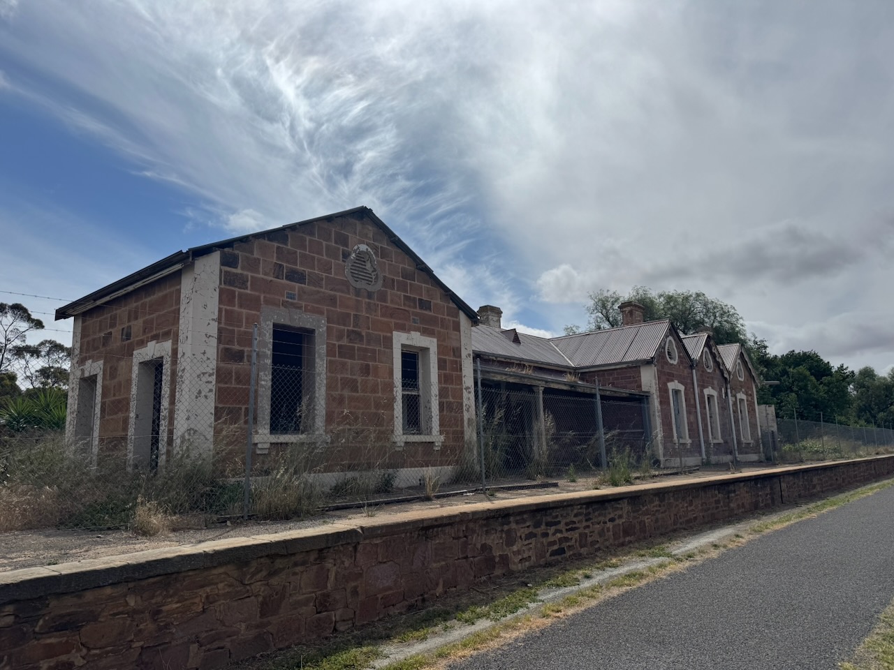
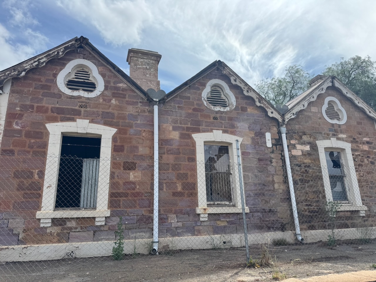
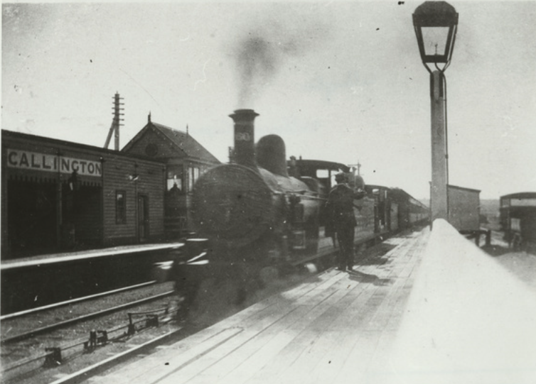
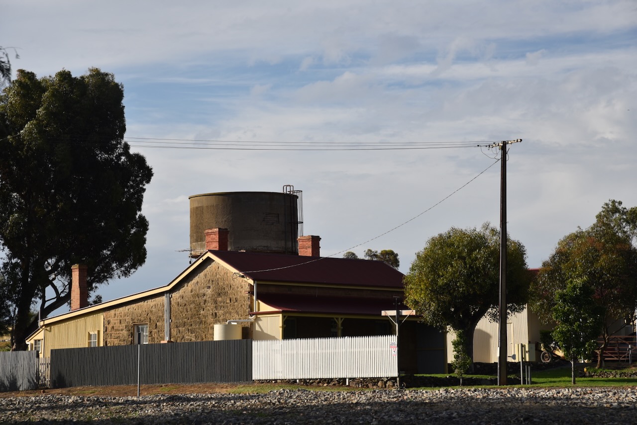
The Callington Railway Station was situated on the Adelaide-Wolseley line, which was opened in stages between 1883 and 1887. The section between Adelaide and Nairne was opened in 1881, but it would take a further 3 years before the line reached Callington. At the time, it was considered to be the most expensive stretch of railway line in Australia. The Callington station consisted of a ticket office, a large shelter, and a platform. (Callington 2021) (Wikipedia 2025)
Above: the Callington Railway Station, 1909. Image c/o State Library South Australia
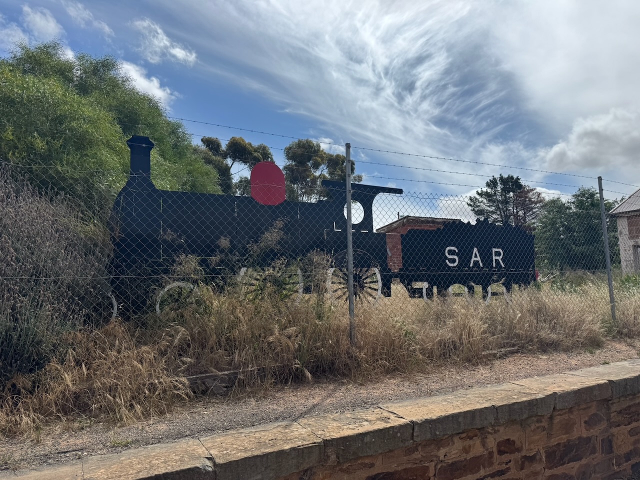
All that is left of the Callington railway precinct is the old station master’s house and the old water tower. The station was closed in November 1982. In 1991, the National Railway Museum removed the station and the station sign and installed them at the museum. Following the conversion of the Adelaide-Wolseley line to standard gauge, the station platforms were demolished. (Wikipedia 2025)
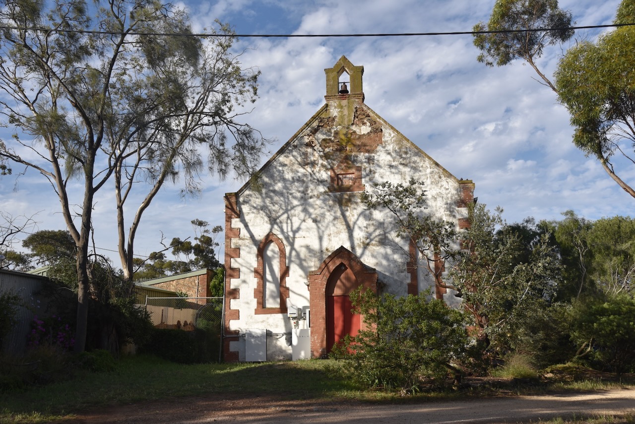
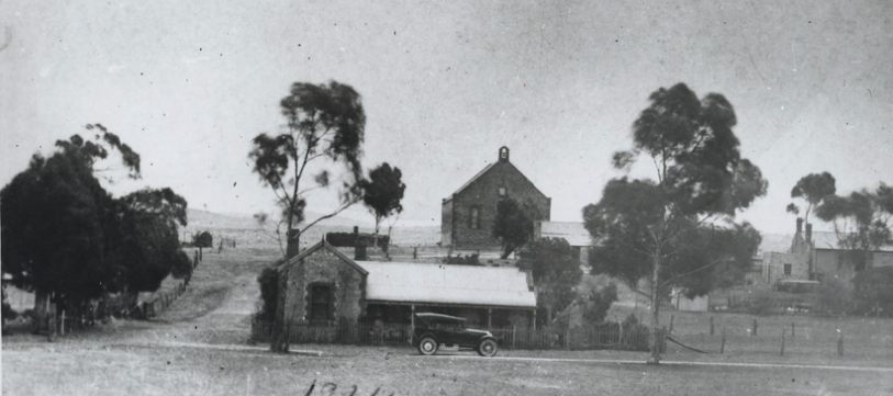
The old Primitive Methodist Church in Murray Street was built in 1862 to serve the Cornish miners who lived in the district. (Callington 2021)
The photo below, taken in 1924, shows how much Callington has changed over the years.
Above: The Primitive Methodist Church, c. 1924. Photo c/o State Library South Australia
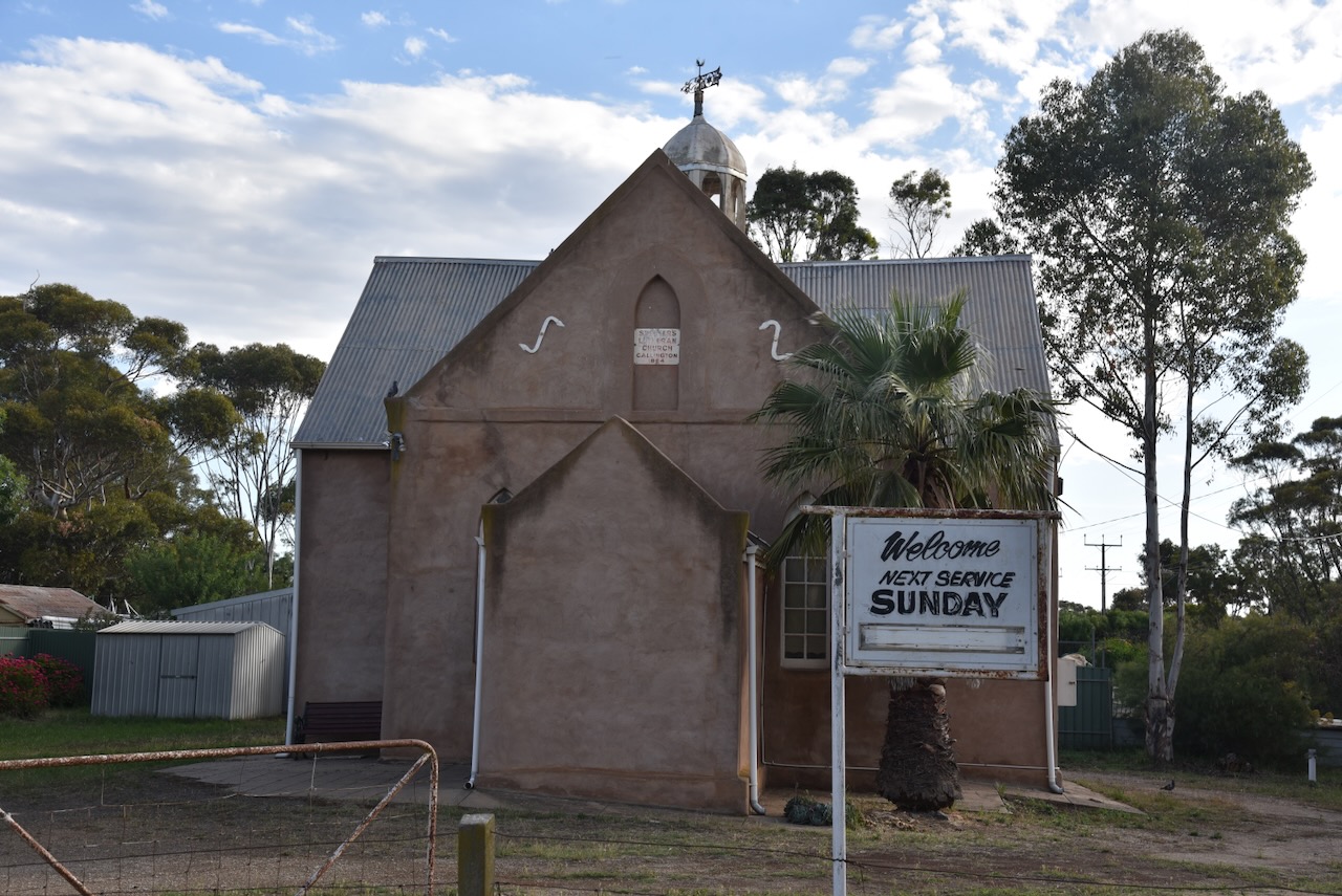
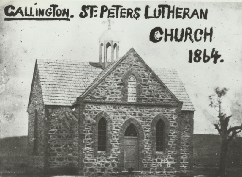
The old St Peter’s Lutheran Church is located on Murray Street. It was built in 1864. The church held its final service on Sunday, the 25th day of May 2025. (Webster 2025)
Unfortunately, the walls of this beautiful stone church have been rendered.
Above: St Peter’s Lutheran church. Image c/o State Library South Australia
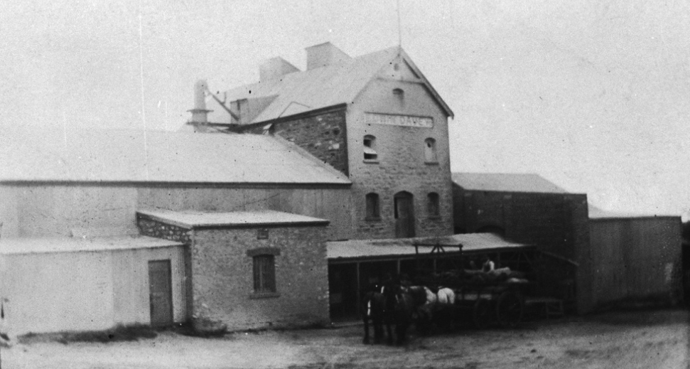
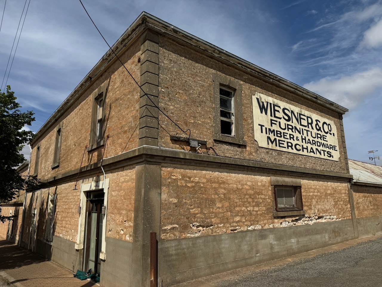
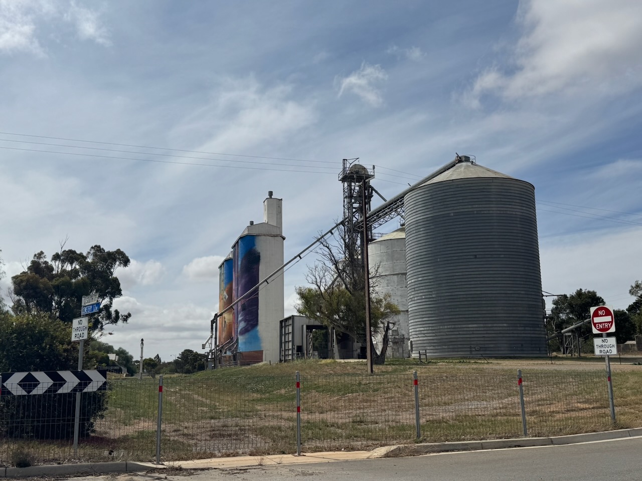
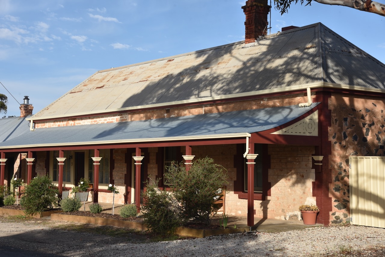
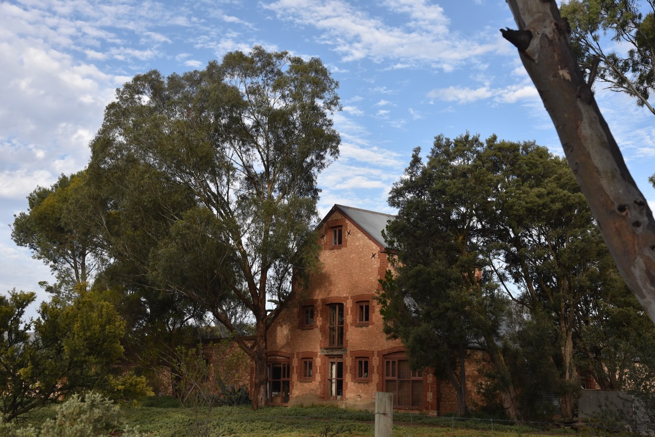
The old Callington Flour Mill is located on Bridge Street near the Bremer River. It was built in 1857.
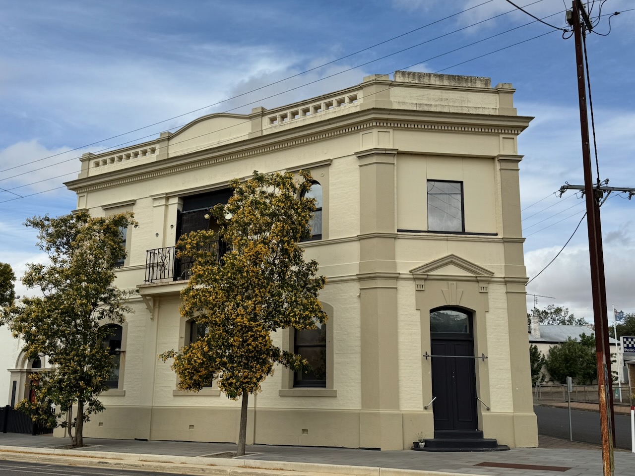
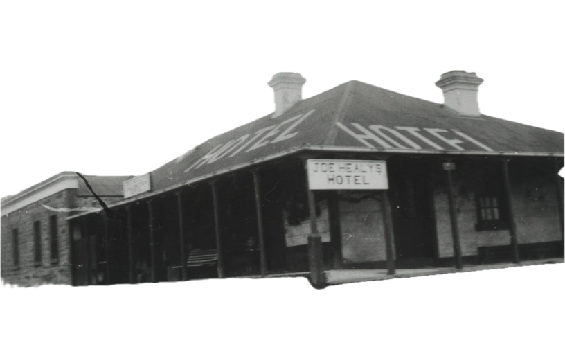
The Callington Hotel is located on Montefiore Street. The hotel is currently permanently closed and has been the subject of controversy regarding renovations.
It was opened in 1850 and was originally called the Callington Arms. In 1854, its name changed to the Callington Inn. It continued to operate under that name until 1876, when it became the Callington Hotel. In 1886, its name changed to the Miner’s Arms Hotel and operated under that name until 1889, when the name was changed to the Callington Hotel. (Beeradelaide.com 2022)
Above: The Callington Hotel in 1936. Image c/o State Library South Australia
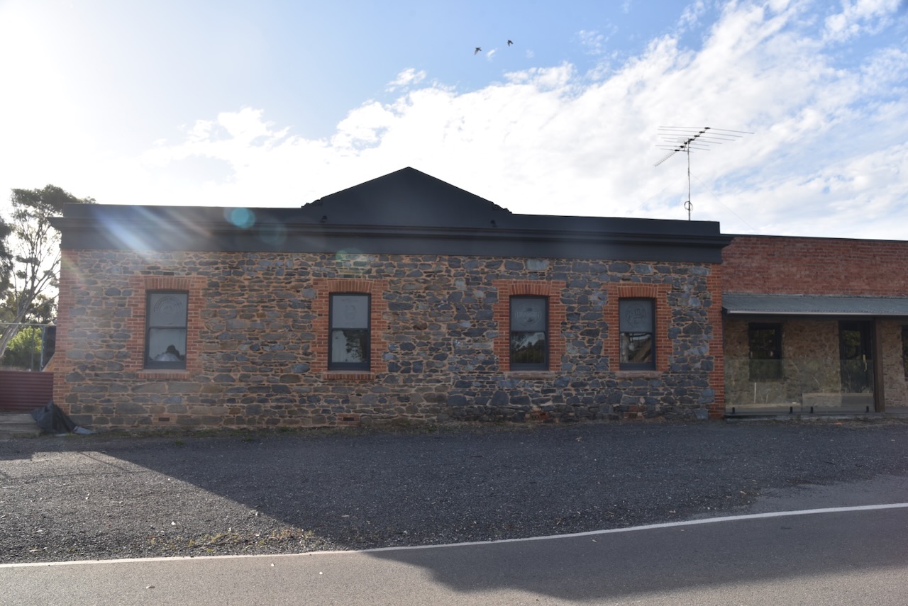
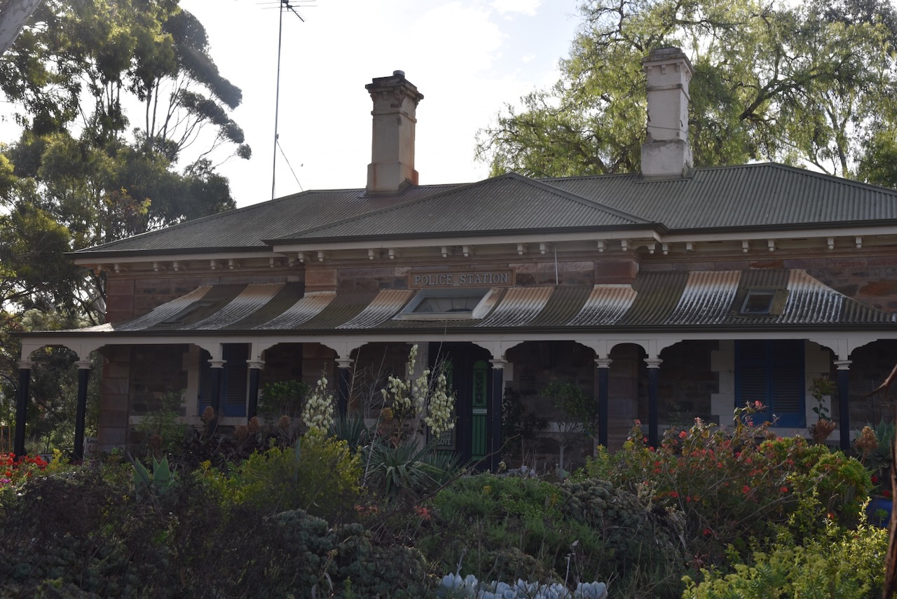
The old Callington Police Station is located at the southern end of Montefiore Street.
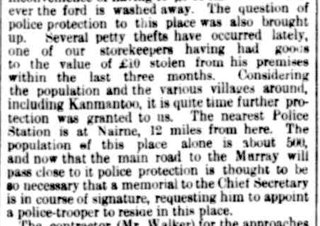
Initially, the responsibility of policing law and order in Callington rested with the mining companies and Mounted Police who were based at Nairne. As a result of increased crime activity, Callington residents petitioned the Chief Secretary, Henry Ayers, for a police station at Callington. In September 1865, the South Australian Register reported:
“Several petty thefts have occurred lately, one of our storekeepers having had goods to the value of £10 stolen from his premises within the last three months. Considering the population and the various villages around, including Kanmantoo, it is quite time further protection was granted to us. The nearest Police Station is at Nairne, 12 miles from here…” (Trove 2026)
Above: part of an article from the South Australian Register, Wed 13 Sept 1865. Image c/o Trove
Their appeal was successful, with a police trooper stationed at Callington in 1866 and approval for the construction of a police station at Callington. The tender was accepted by Messrs. Wells & Dickin. In July 1867, the South Australian Weekly Chronicle reported that when the police station was complete, ‘it will be an ornament to our township.’ The police station was constructed in late 1867 at a cost of £1,145. (Callington 2021) (Trove 2026)
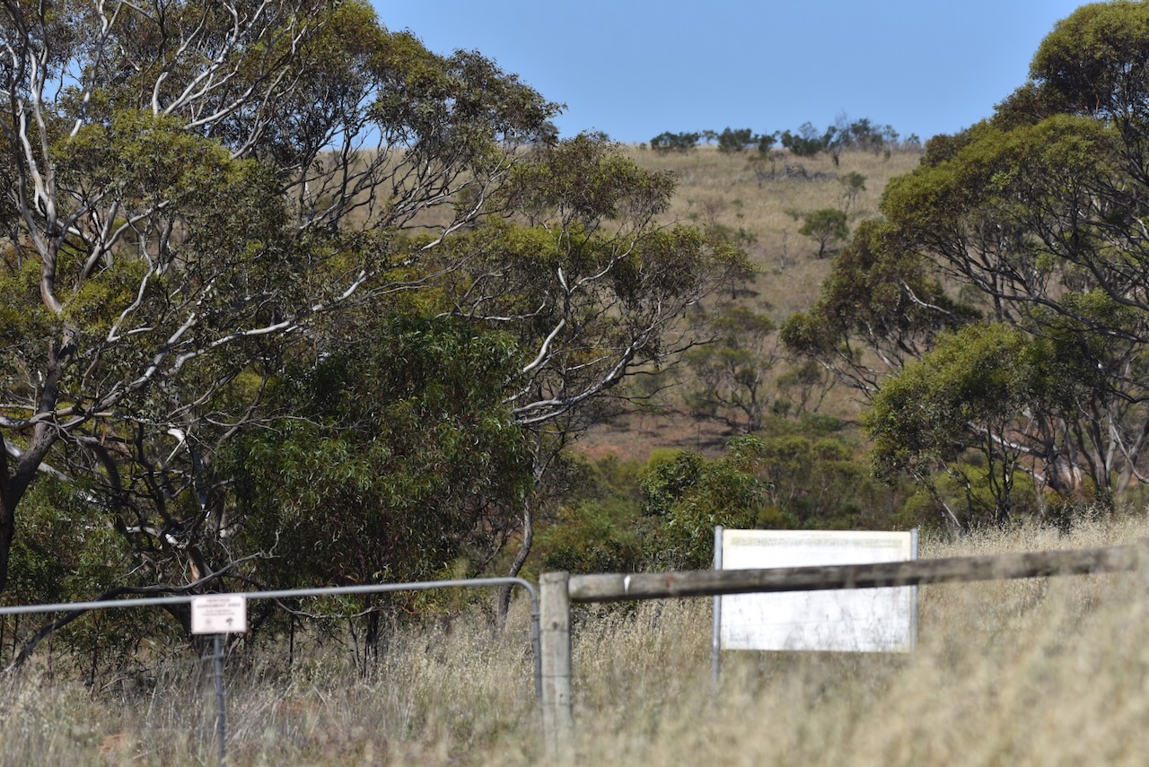
Sadly, not much of the Bremer Mine is visible to the public. The chimney and much of the old mine are located on private property. The information boards are located on Back Callington Road and are not well signposted. They are also filthy and overgrown by shrubs, and very difficult to see.
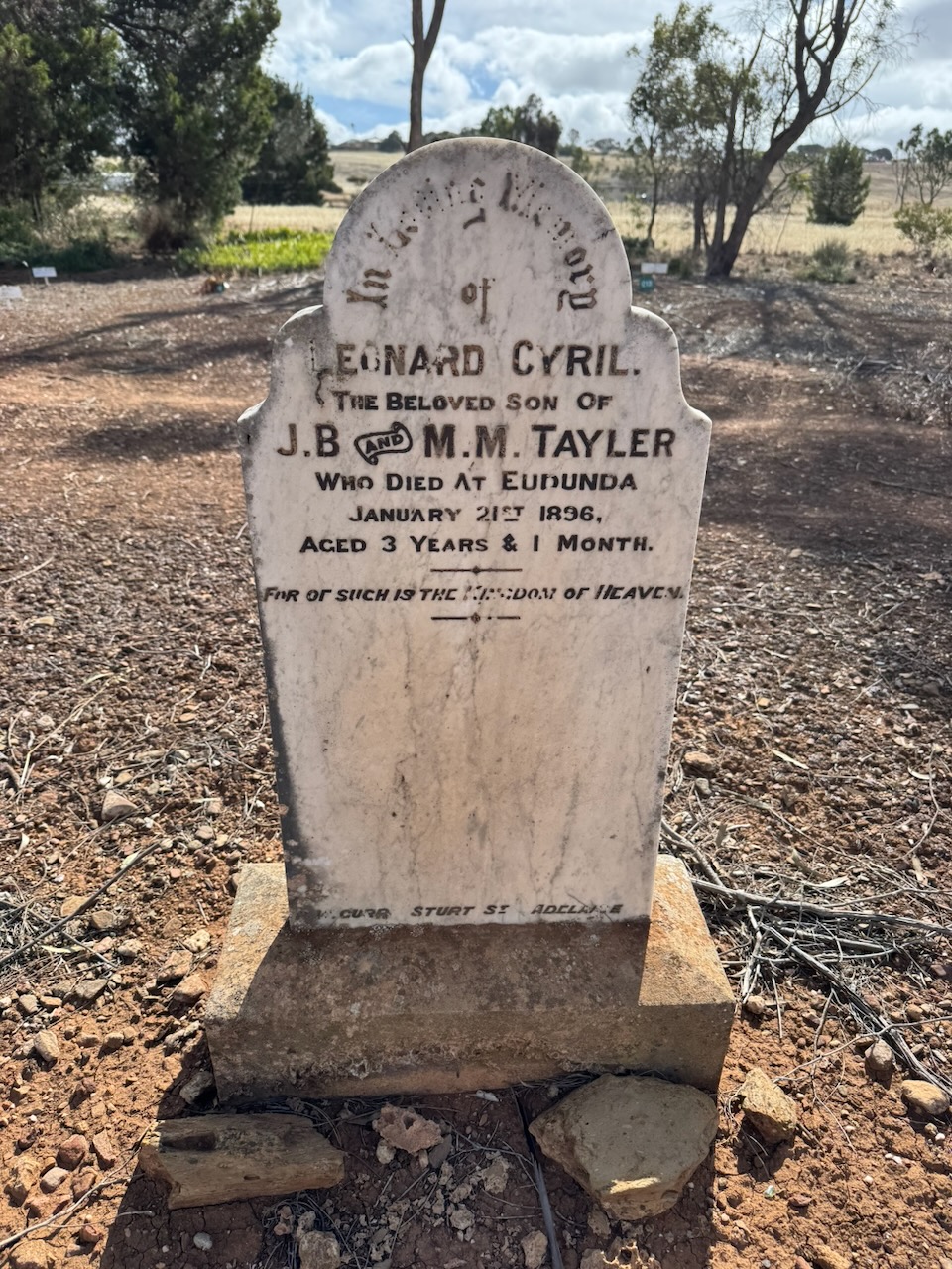
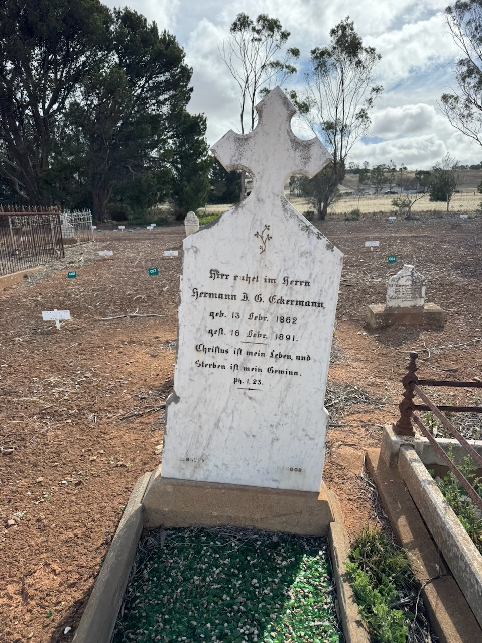
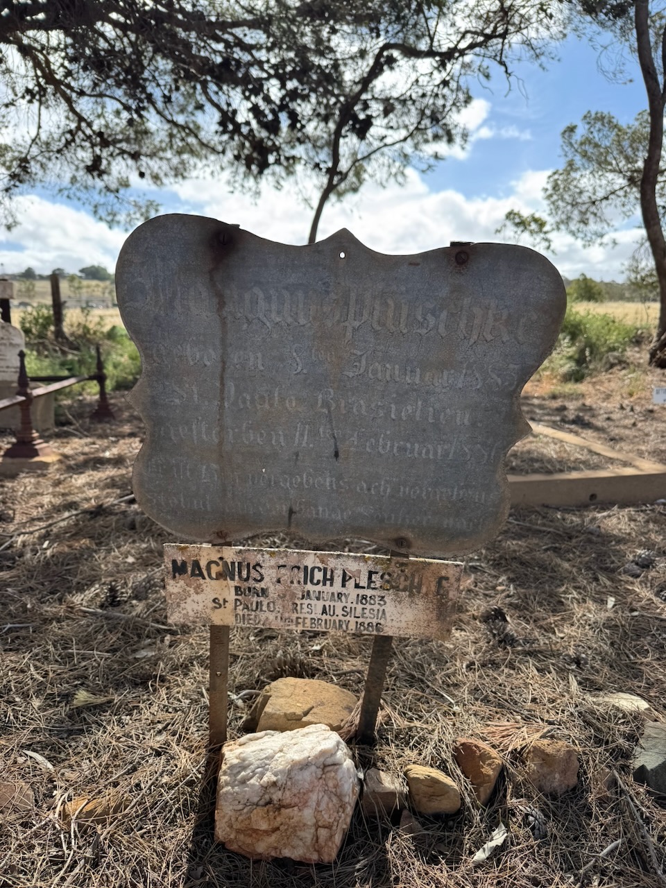
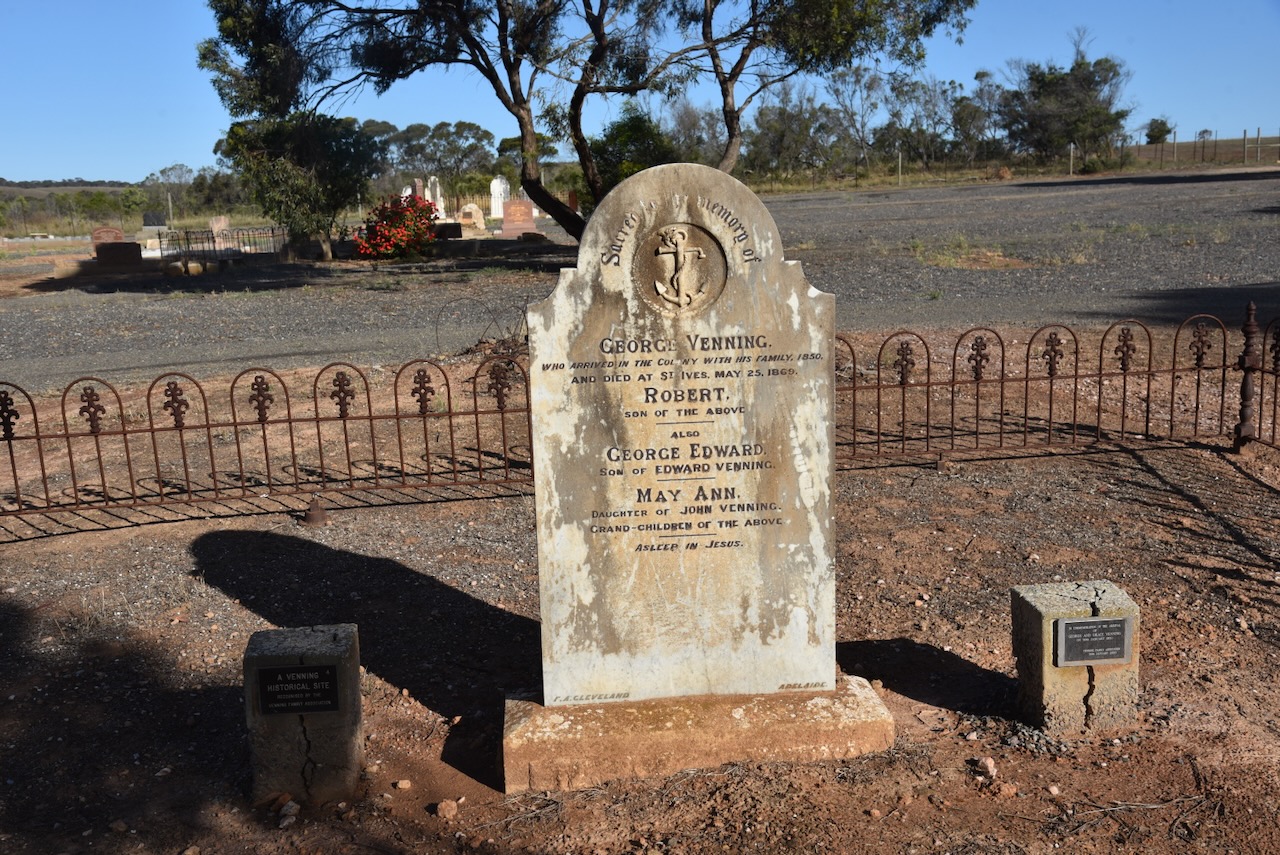
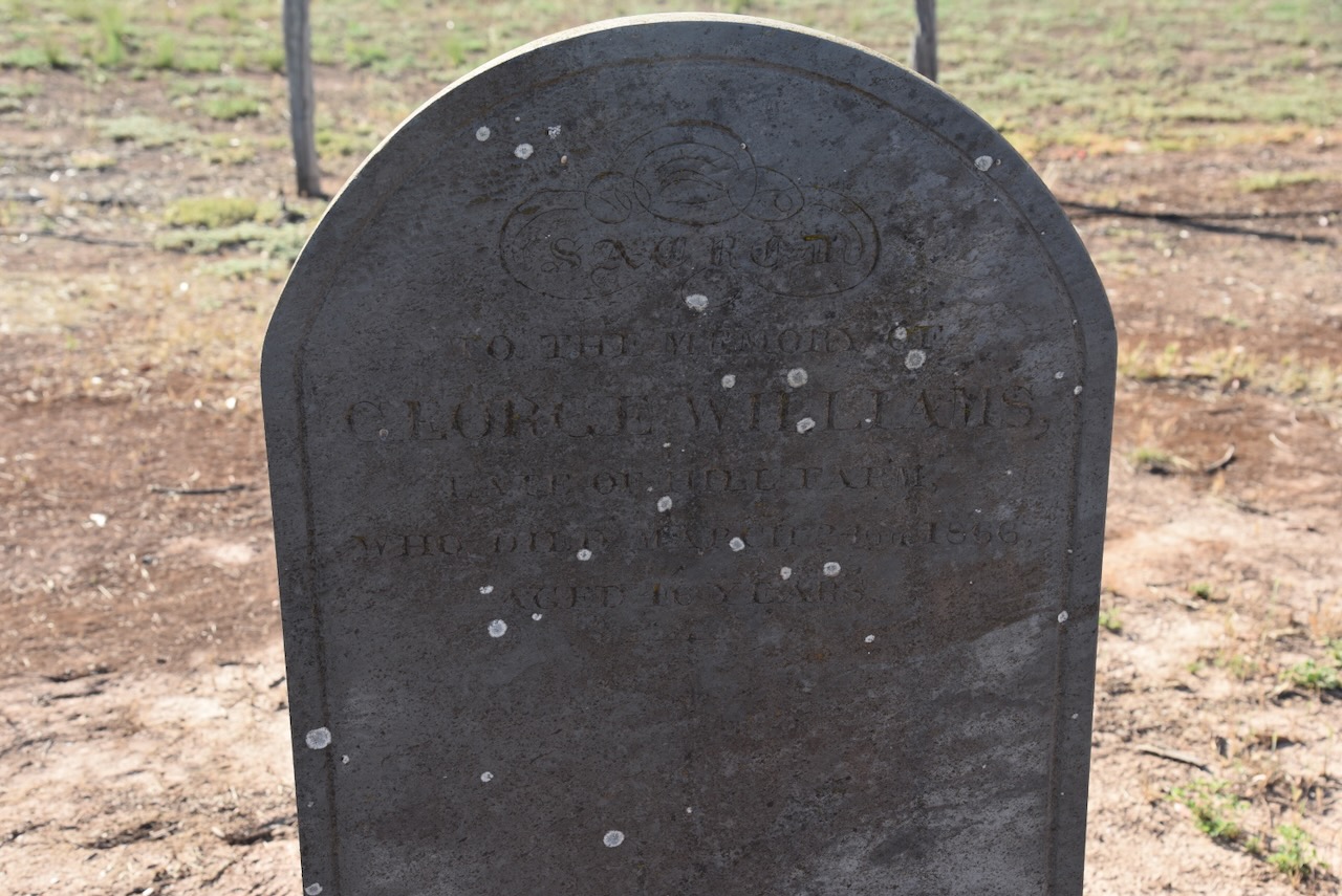
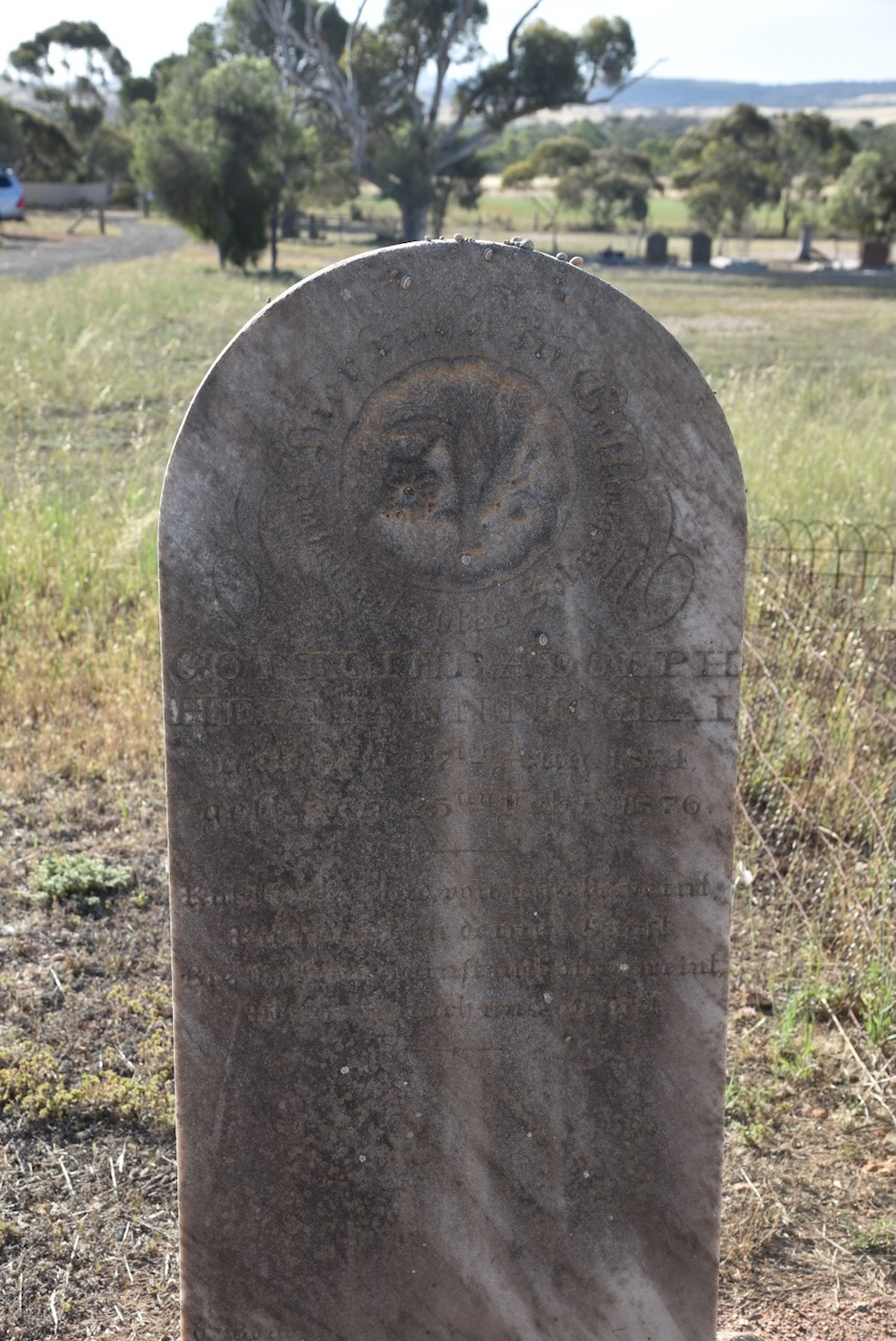
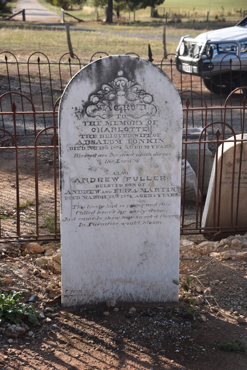
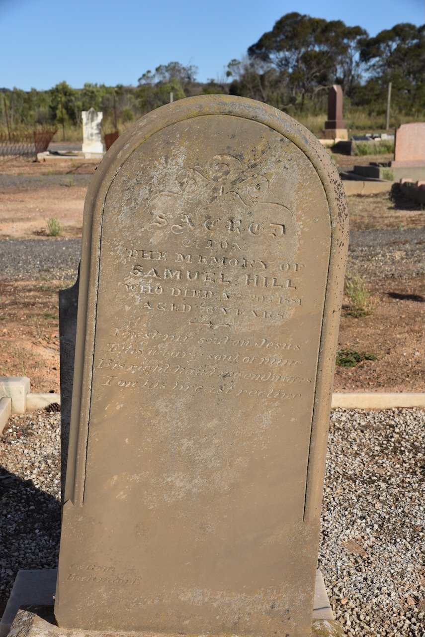
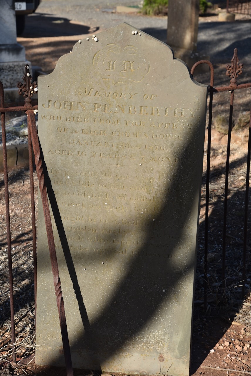
The Callington Cemetery contains several historic headstones.
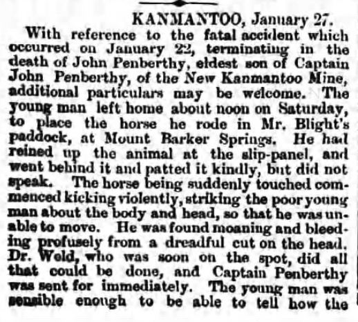
John Penberthy died in January 1870, aged 16 years. He died as a result of injuries after receiving a kick from a horse at Nairne. He was the son of Captain John Pemberthy, the manager at the Aclare Mine at St Ives near Callington.
John was taking a horse to Mount Barker Springs when he was kicked in the head. He was taken to Nairne, where he died of his injuries. It was reported that he suffered ‘great agony.’ (newspapers.com 2019)
Above: article from The Observeer, Sat 29 Jan 1870. Image c/o newspapers.com
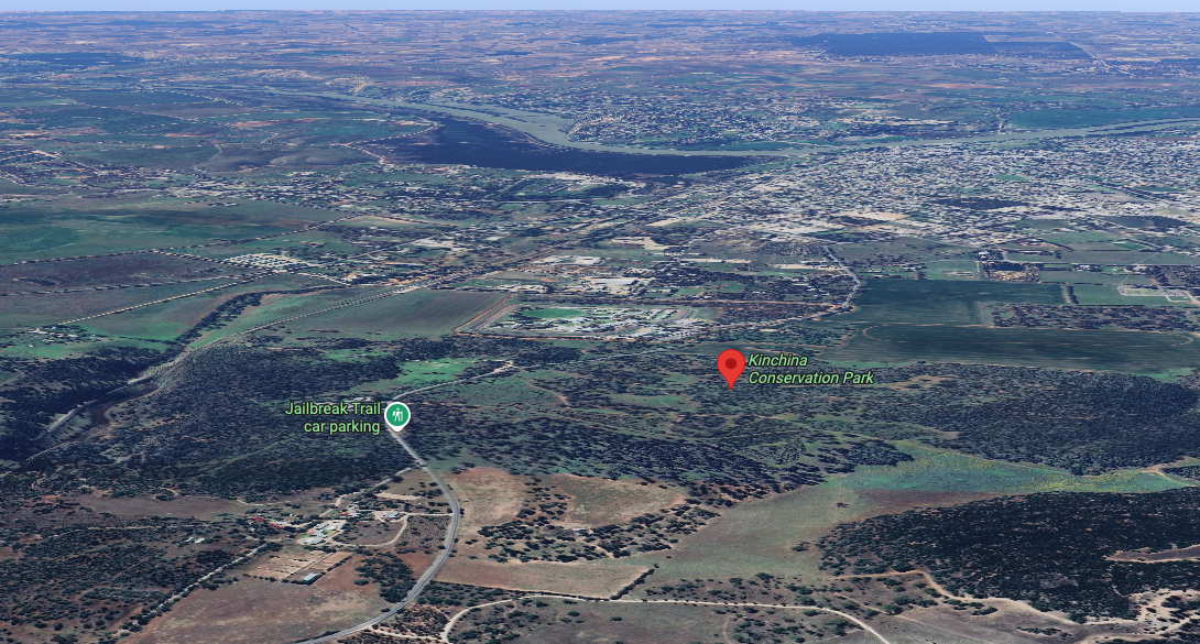
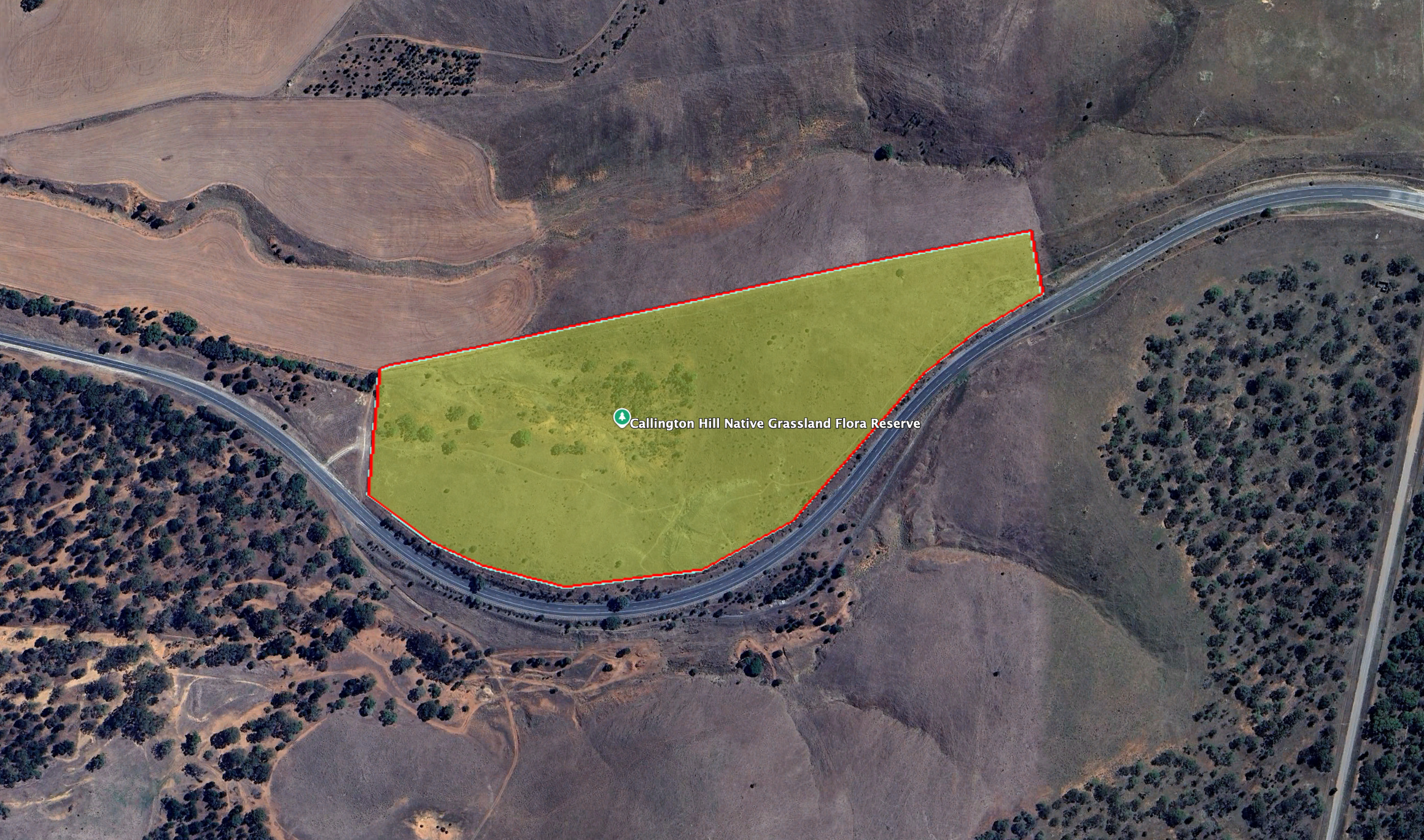
The reserve is on the northern side of Old Princes Highway when travelling up the hill out of Callington.
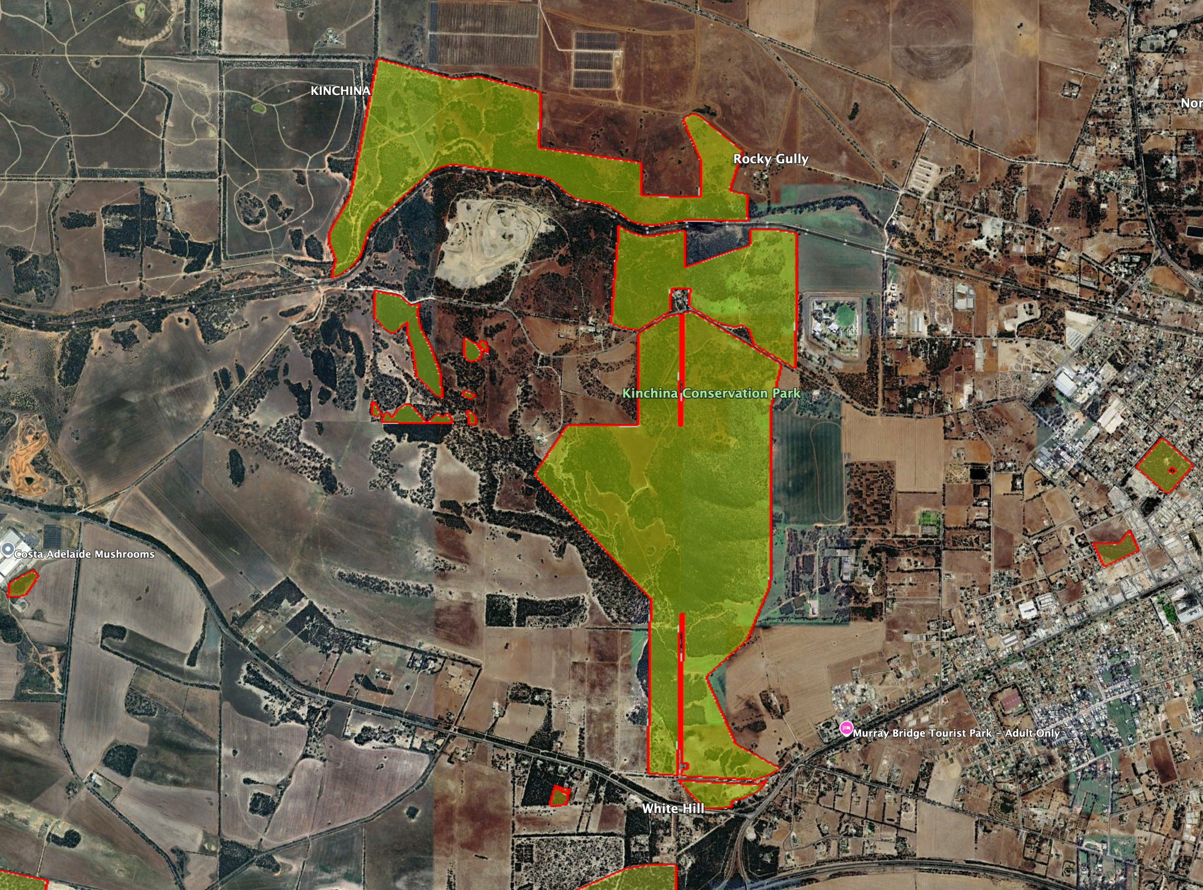
Above: the boundaries of the park. Image c/o Google Earth
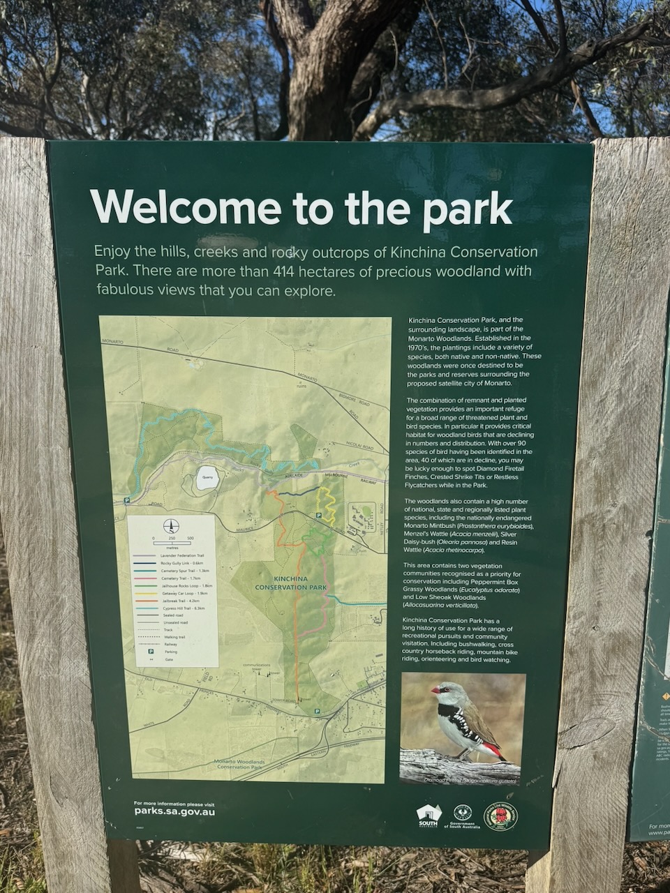
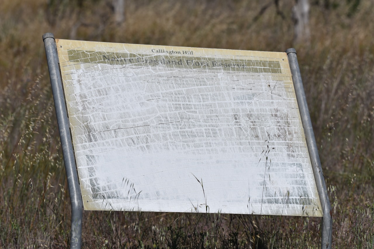
Unfortunately, the information board at the reserve has been totally neglected and has faded due to exposure to the elements. It is impossible to read the information contained.
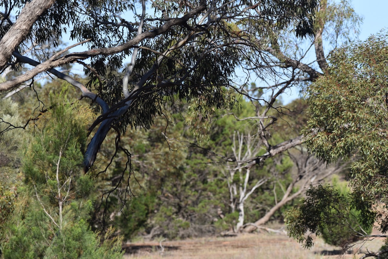
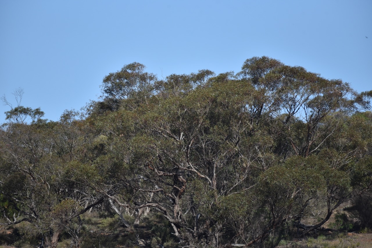
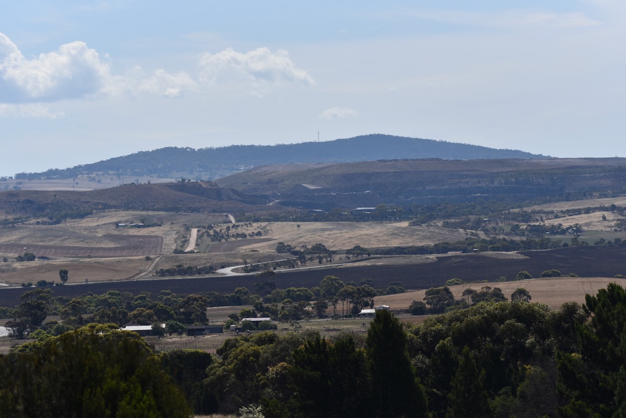
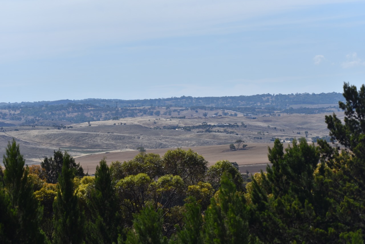
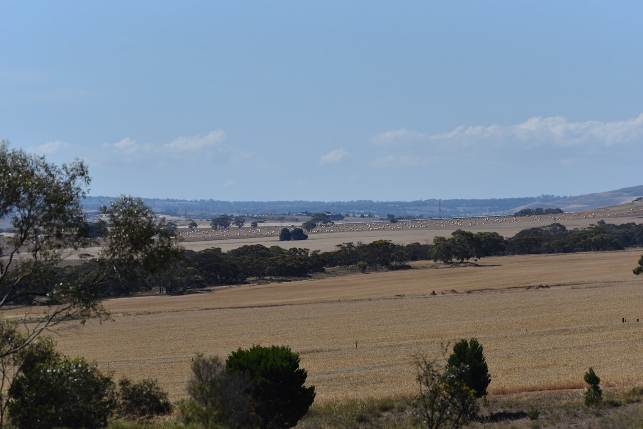
There are excellent views of the Bremer Valley and Mount Lofty from the reserve.
The reserve is about 12 hectares in size and was established on the 30th day of March 2011. The reserve contains critically endangered Iron-grass Natural Temperate Grassland. (Dcceew.gov.au 2025) (Vic.edu.au 2024)
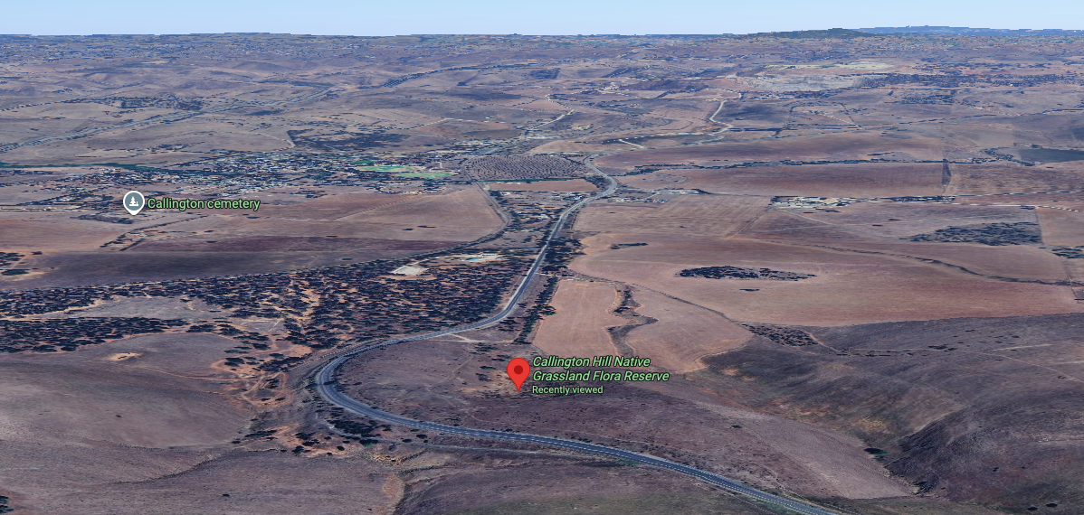
Above: an aerial view of the reserve looking west. Image c/o Google Maps
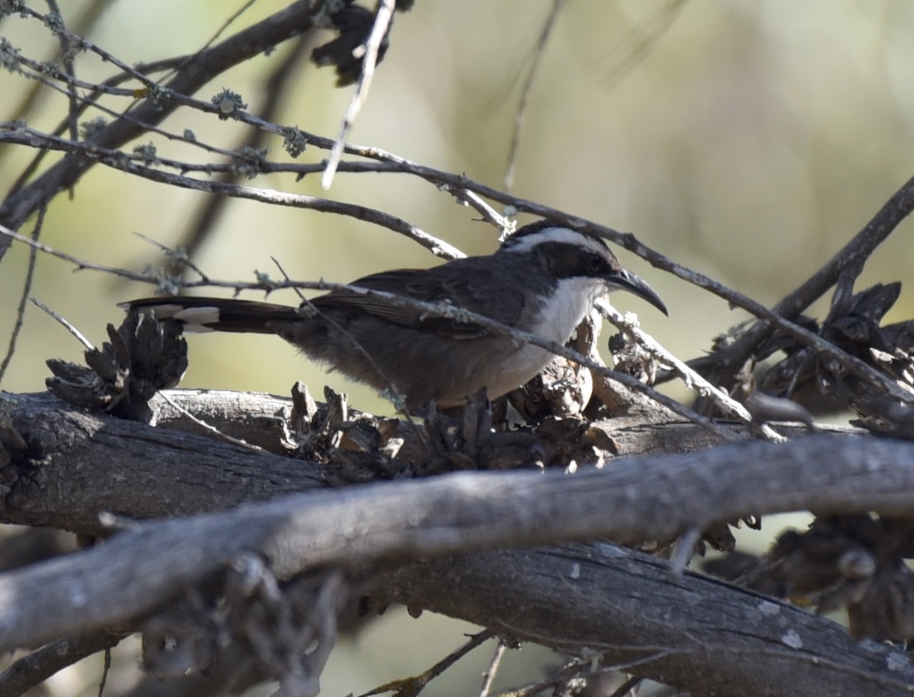
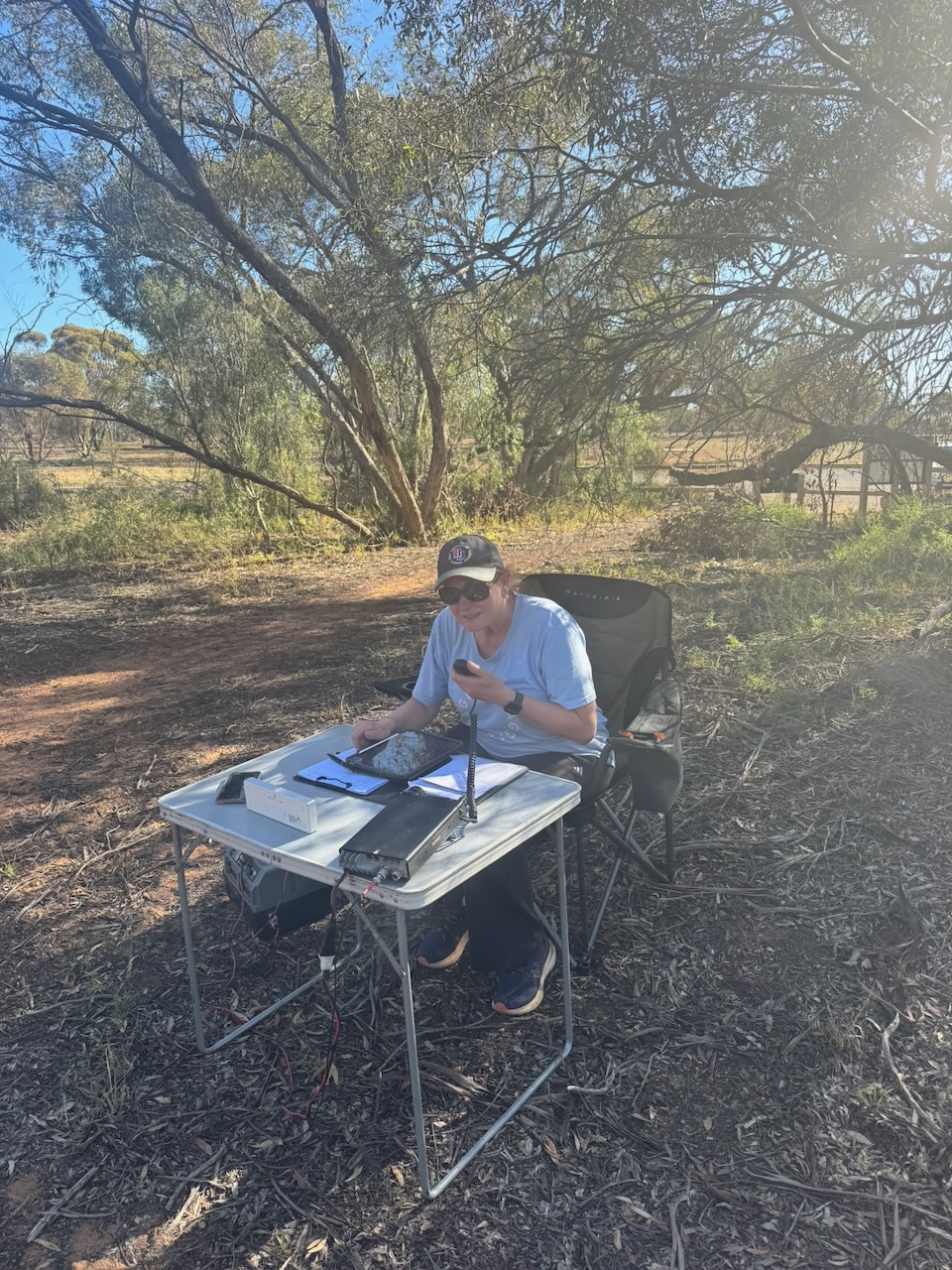
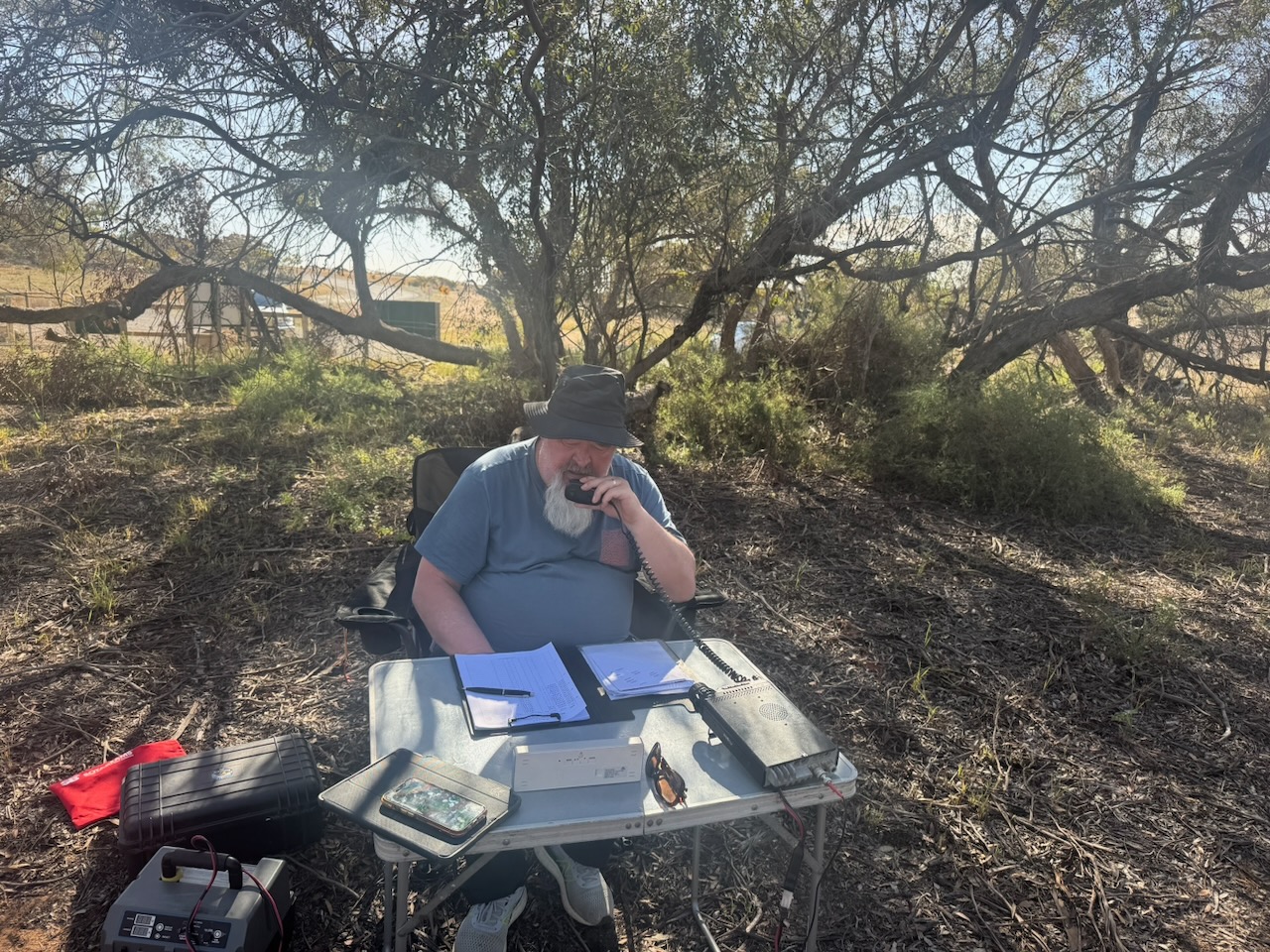
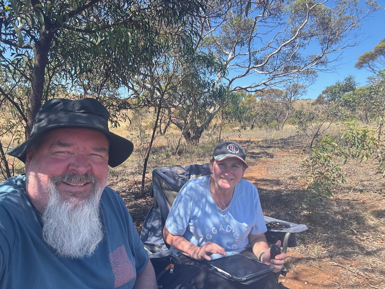
Marija and I walked in about 50 metres from the gate at the western end of the park. We set up our station under the shade of a tree as it was quite a warm day. Fortunately, we didn’t experience any flies. We ran the Yaesu FT857, 40 watts, and the 20/40/80m linked dipole.
We logged a total of 196 QSOs, including 19 Park to Park contacts.
Marija worked the following stations on 40m SSB:-
- VK3PF (VKFF-5823)
- VK3GRX
- VK3GJG
- VK3APJ
- VK2EG/P (VKFF-3102)
- VK5SR (VKFF-0798)
- VK3TDX
- VK5BE
- VK5DMO
- VK5LA
- VK5KAW
- VK5LRB
- VK5DW
- VK4DNO
- VK5AYL
- VK3AUX
- VK5EDY
- VK3UAO
- VK3BWS/P
- VK2DA
- VK1DA
- VK5NFT
- VK3ZK/P (VKFF-0747)
- VK3ACZ
- VK2IO/P (VKFF-6421)
- VK2GEZ/P (VKFF-6421)
Marija worked the following stations on 20m SSB:-
- VK2VIW
- VK2HFI
- VK2AKA
- VK2BUG
- VK2MG
- VK1OZI/P (VKFF-0427)
- VK4JPS
- VK4SMA
- VK2NP
- VK2IO/P (VKFF-6421)
- VK2GEZ/P (VKFF-6421)
- VK4SYD
- VK2HRX
- VK2LEE
- VK4NH
- VK4DXA
- ZL2BB
- ZL1TM
- VK2USH/P (VKFF-1165)
- VK7EV
I worked the following stations on 40m SSB:-
- VK3PF (VKFF-5823)
- VK3GRX
- VK3GJG
- VK3APJ
- VK2EG/P (VKFF-3102)
- VK5SR (VKFF-0798)
- VK3TDX
- VK5BE
- VK5DMO
- VK5LA
- VK5KAW
- VK5LRB
- VK5DW
- VK4DNO
- VK5AYL
- VK3AUX
- VK3WSG
- VK3KLI
- VK3VIN
- VK3CLD
- VK2DBF
- VK5QA
- VK3ZSC
- VK5EDY
- VK3UH
- VK5FANA
- VK3UAO
- VK3BWS/P
- VK2DA
- VK1DA
- VK5SGX
- VK5NFT
- VK3GCD
- VK5LKJ
- VK3ZK/P (VKFF-0747)
- VK3ACZ
- VK2IO/P (VKFF-6421)
I worked the following stations on 20m SSB:-
- VK4EMP
- VK4TI
- VK4GKO
- VK4SMA
- VK2MG
- VK2VW
- VK2HFI
- VK2AKA
- VK2BUG
- VK1OZI/P (VKFF-0427)
- VK2IO/P (VKFF-6421)
- VK2GEZ/P (VKFF-6421)
- VK2USH/P (VKFF-1165)
References.
- Beeradelaide.com. (2022). Beer Adelaide. [online] Available at: https://beeradelaide.com/hotels/hoteldefault.php?ID=5.H165 [Accessed 23 Apr. 2026].
- Callington Recreation Community Centre. (2021). History of Callington – Callington Recreation Community Centre. [online] Available at: https://www.callingtonrecreationcommunitycentre.com.au/history-of-callington/ [Accessed 23 Apr. 2026].
- Council, C.C. (2021). Campbelltown City Council. [online] Campbelltown City Council. Available at: https://www.campbelltown.sa.gov.au. [Accessed 24 Apr. 2026]
- Dcceew.gov.au. (2025). Collaborative Australian Protected Areas Database 2024 – DCCEEW. [online] Available at: https://www.dcceew.gov.au/environment/land/nrs/science/capad/2024. [Accessed 24 Apr. 2026]
- Flickr. (2026). Callington. Establishd 1849 and copper mining from 1850. This Cornish chimney stack was built in 1874 and the stone engine house was erected in 1874. Mining ceased 1870. Restarted 1872 and closed permanently 1875. [online] Available at: https://www.flickr.com/photos/82134796@N03/48342169342 [Accessed 23 Apr. 2026].
- Grokipedia. (2026). Callington, South Australia. [online] Available at: https://grokipedia.com/page/callington_south_australia [Accessed 23 Apr. 2026].
- May, T. (n.d.). LibGuides: South Australian History: South Australian Company. [online] guides.slsa.sa.gov.au. Available at: https://guides.slsa.sa.gov.au/c.php?g=410270&p=2794886. [Accessed 24 Apr. 2026]
- Newspapers.com. (2019). Newspapers.com – Historical Newspapers from 1700s-2000s. [online] Available at: https://www.newspapers.com/. [Accessed 24 Apr. 2026]
- South Australia Heritage Council, 2022, Summary of State Heritage Place
- Southaustralianhistory.com.au. (2026). Mining at Kanmantoo. [online] Available at: https://www.southaustralianhistory.com.au/kanmantoo.htm [Accessed 23 Apr. 2026].
- Trove. (2026). GENERAL LICENCES. – South Australian (Adelaide, SA : 1844 – 1851) – 19 Mar 1850. [online] Available at: https://trove.nla.gov.au/newspaper/article/71625857?searchTerm=callington%20arms [Accessed 23 Apr. 2026].
- Trove. (2026). CALLINGTON. – Callington, July 26. – Adelaide Observer (SA : 1843 – 1904) – 4 Aug 1866. [online] Available at: https://trove.nla.gov.au/newspaper/article/159504374?searchTerm=callington%20police%20station [Accessed 23 Apr. 2026].
- Trove. (2026). TO CORRESPONDENTS. – The Express and Telegraph (Adelaide, SA : 1867 – 1922) – 15 Jul 1867. [online] Available at: https://trove.nla.gov.au/newspaper/article/207670950?searchTerm=callington%20police%20station [Accessed 23 Apr. 2026].
- Trove. (2026). CALLINGTON, JULY 24. – South Australian Weekly Chronicle (Adelaide, SA : 1858 – 1867) – 27 Jul 1867. [online] Available at: https://trove.nla.gov.au/newspaper/article/91260696?searchTerm=callington%20police%20station [Accessed 23 Apr. 2026].
- Trove. (2026). MINING FETE AT CALLINGTON. – The South Australian Advertiser (Adelaide, SA : 1858 – 1889) – 27 Jun 1859. [online] Available at: https://trove.nla.gov.au/newspaper/article/794622 [Accessed 23 Apr. 2026].
- Vic.edu.au. (2024). Callington Hill Grassland Reserve | Grasslands. [online] Available at: https://grasslands.ecolinc.vic.edu.au/grassland/callington-hill-grassland-reserve. [Accessed 24 Apr. 2026]
- Webster, L. (2025). Callington Lutheran Church holds its final service after 161 years. [online] Murray Bridge News. Available at: https://www.murraybridge.news/callington-lutheran-church-holds-its-final-service/ [Accessed 23 Apr. 2026].
- Wikipedia Contributors (2026). Callington. Wikipedia.
- Wikipedia Contributors (2025). Callington railway station. Wikipedia.