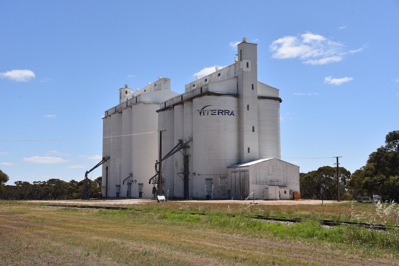
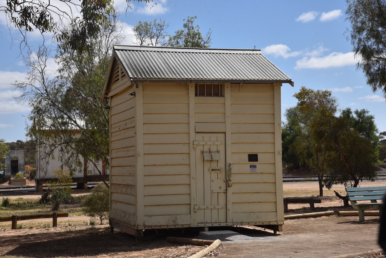
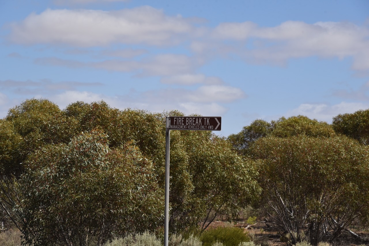
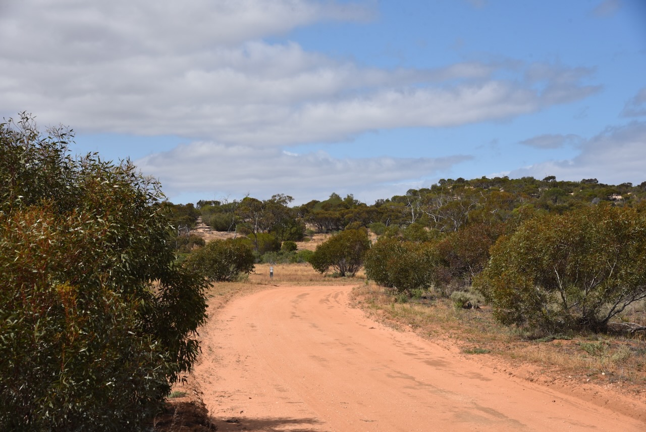
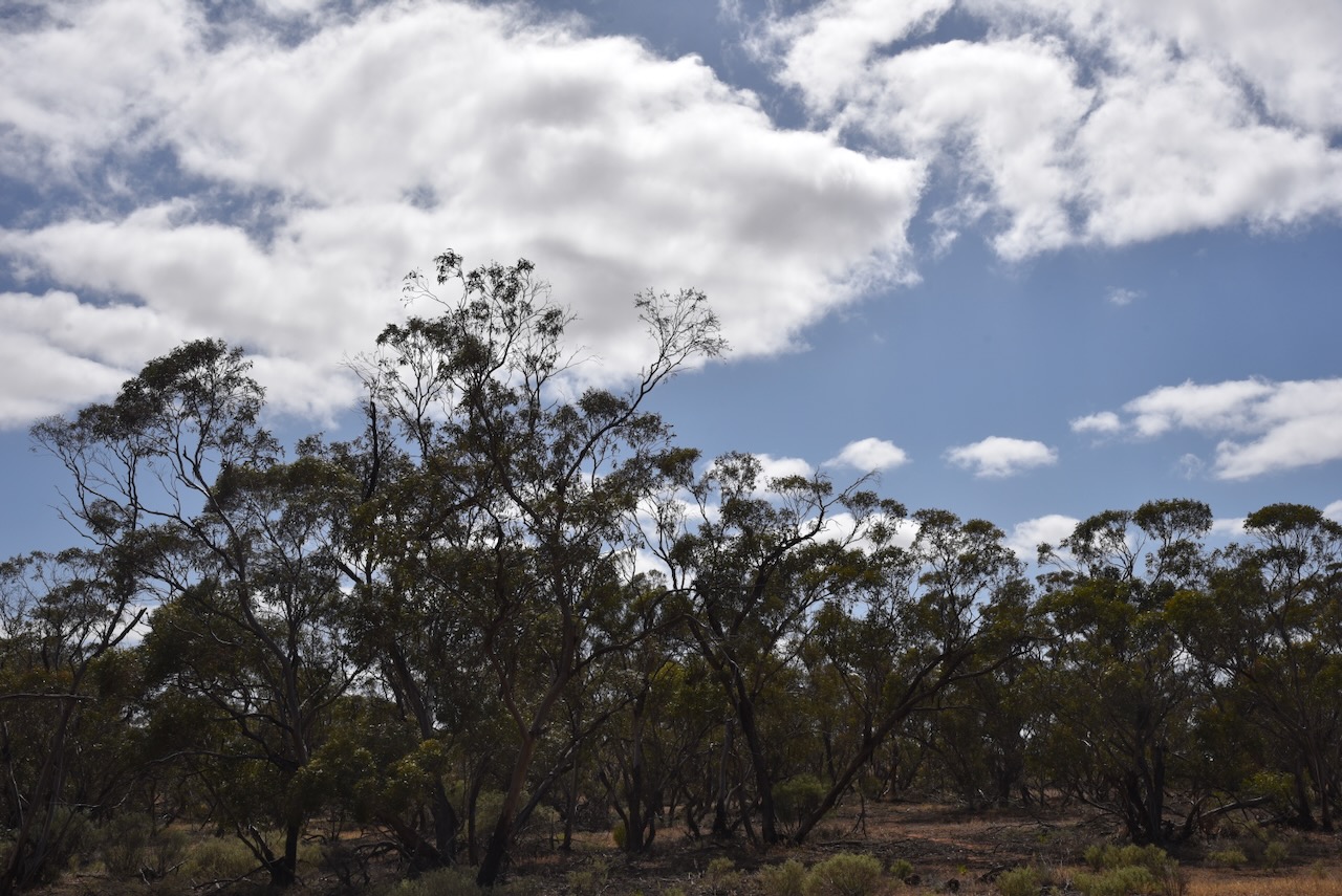
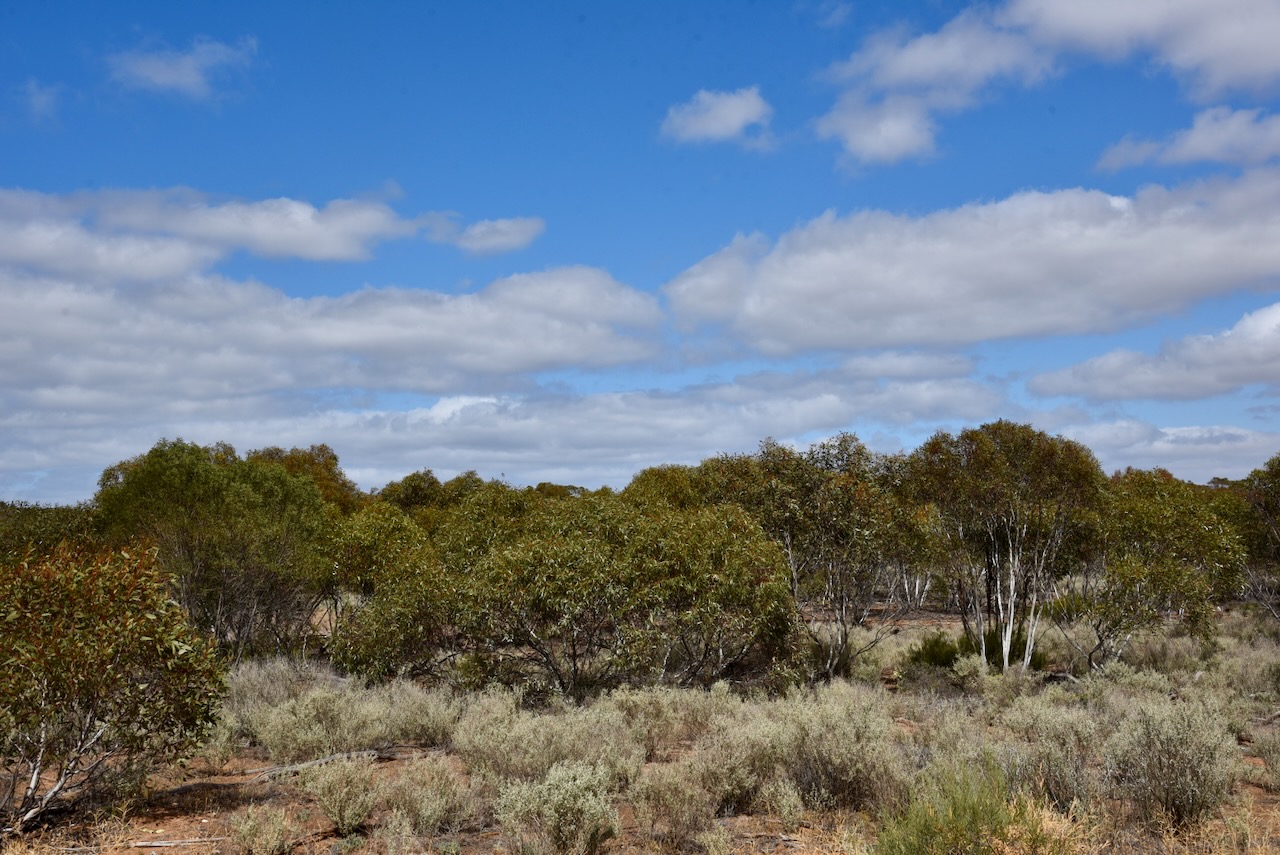
Our final activation on Saturday, the 8th day of November 2025, on our Canberra trip, was the Pinnaroo silo Vk-PNO5 for the Silos On The Air (SiOTA) program.
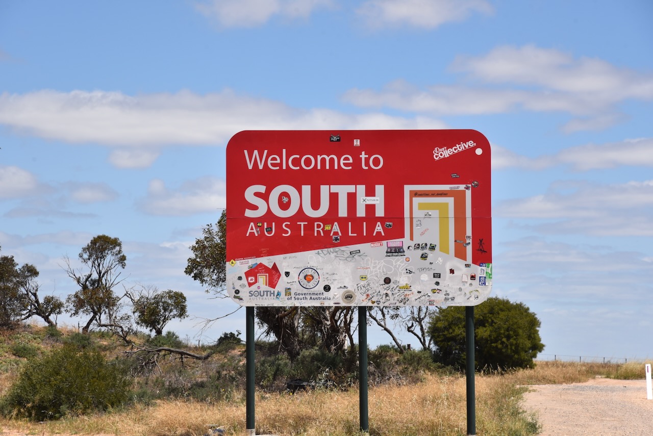
Marija and I stopped briefly at the South Australia and Victoria State border. We then continued on to Pinnaroo.
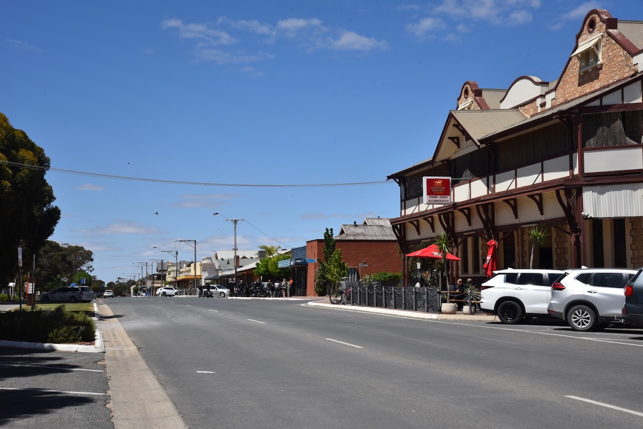
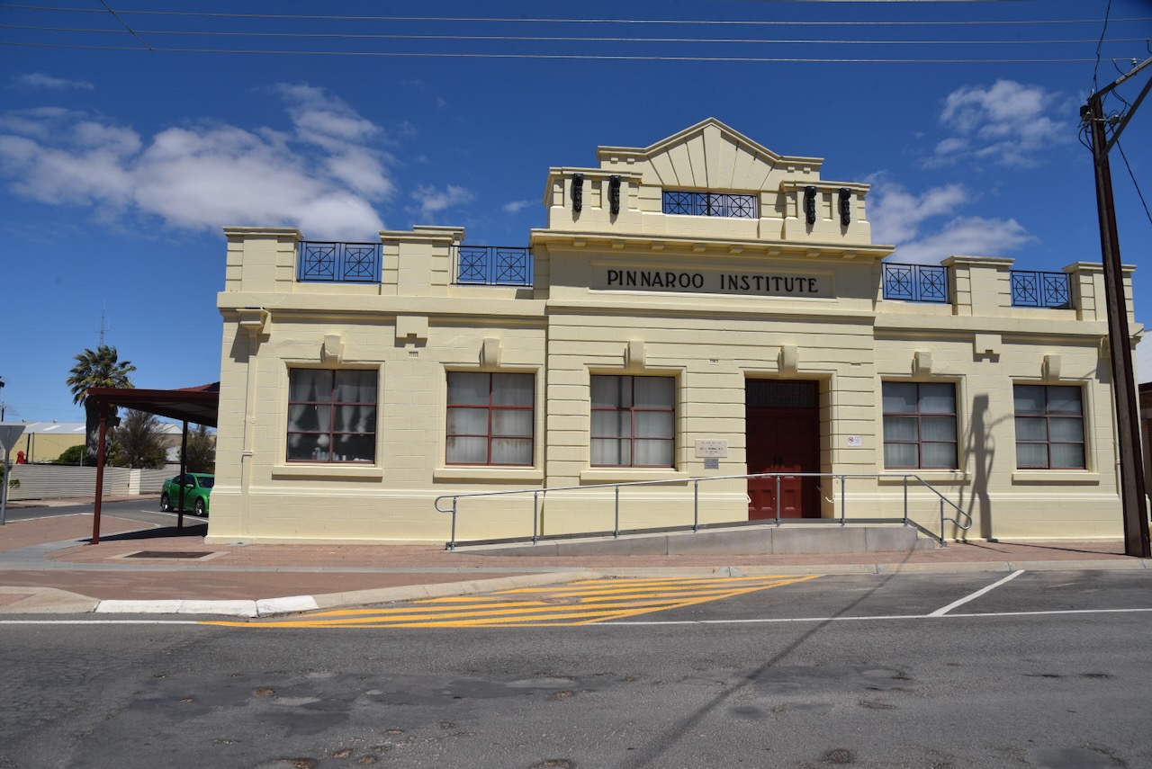
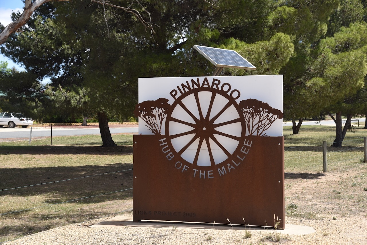
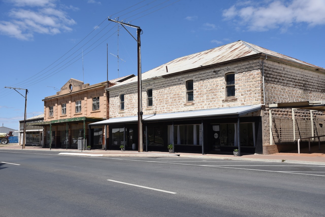
Pinnaroo is derived from an Aboriginal word meaning ‘big man’. The town features several historic buildings, including the Golden Grain Hotel, the Pinnaroo Institute and the Pinnaroo Hotel. (Wikipedia 2019)
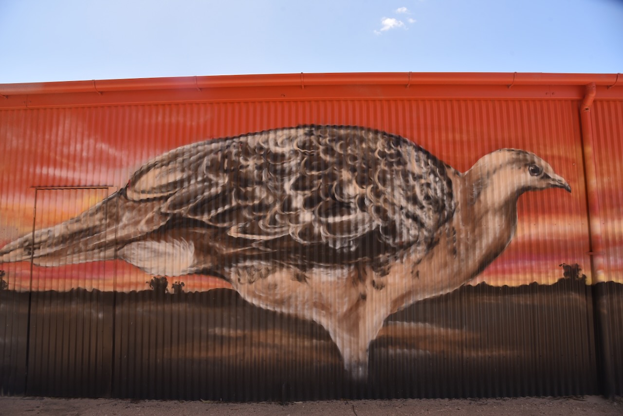
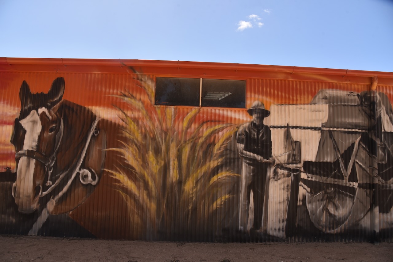
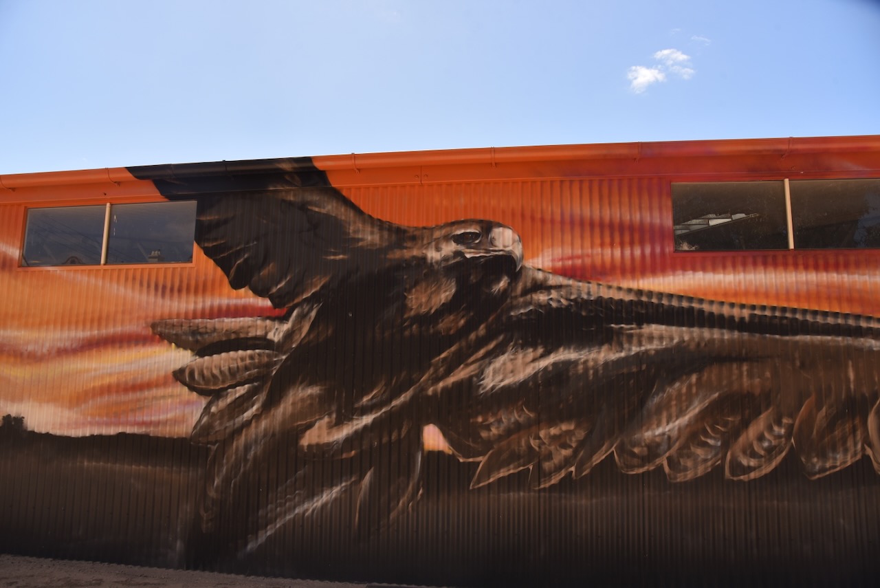
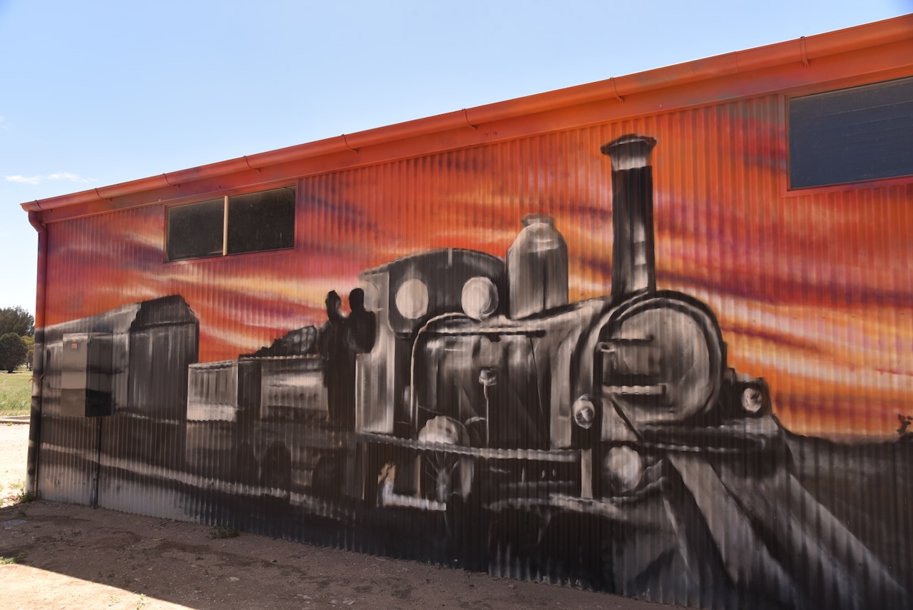
On the side of the Mallee Tourist and Heritage Centre in Pinnaroo is a very impressive mural. It features the malleefowl, a Wedge-tailed eagle, a farmer with his workhorse, and a steam train.
The Pinnaroo silos are located on the southern side of Silo Road. They are operated by Viterra.
Marija and I parked right alongside the silos and operated from the 4WD, running the Icom IC-7000, 100 watts, and the Codan 9350 antenna with the 1.5 metre stainless steel whip.
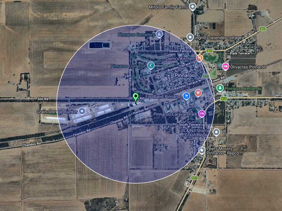
Above: the activation zone at the Pinnaroo silo. Image c/o SiOTA website
Marija worked the following stations on 40m SSB:-
VK2YK/P (VKFF-0829)
VK5GA/P (VKFF-0829)
VK3XCI/P (VKFF-0373)
VK3PF
I worked the following stations on 40m SSB:-
VK2YK/P (VKFF-0829)
VK5GA/P (VKFF-0829)
VK3XCI/P (VKFF-0373)
VK3PF
VK2KLM
VK5HS
We packed up and continued west along Dukes Highway, headed for home. It had been a magnificent few weeks away, and Marija and I would like to say a BIG THANK YOU to everyone who called us on our journey whilst we were activating VKFF parks, SiOTA silos and SOTA summits.
References.
Wikipedia Contributors (2019). Pinnaroo. Wikipedia.
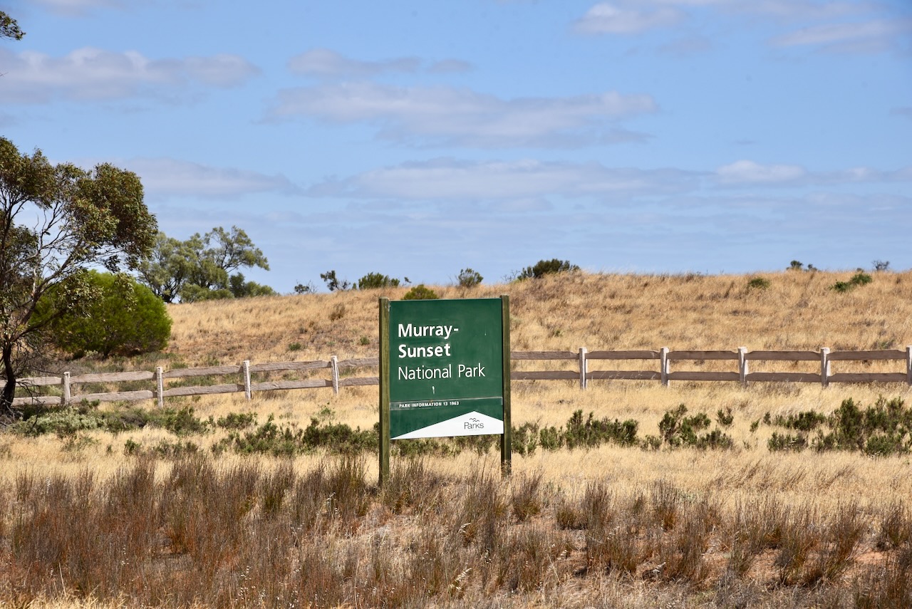
Our next park on Saturday, the 8th day of November 2025, for the Keith Roget Memorial National Parks Award (KRMNPA), was the Murray Sunset National Park VKFF-0373. This was to be our final park activation for our time away.
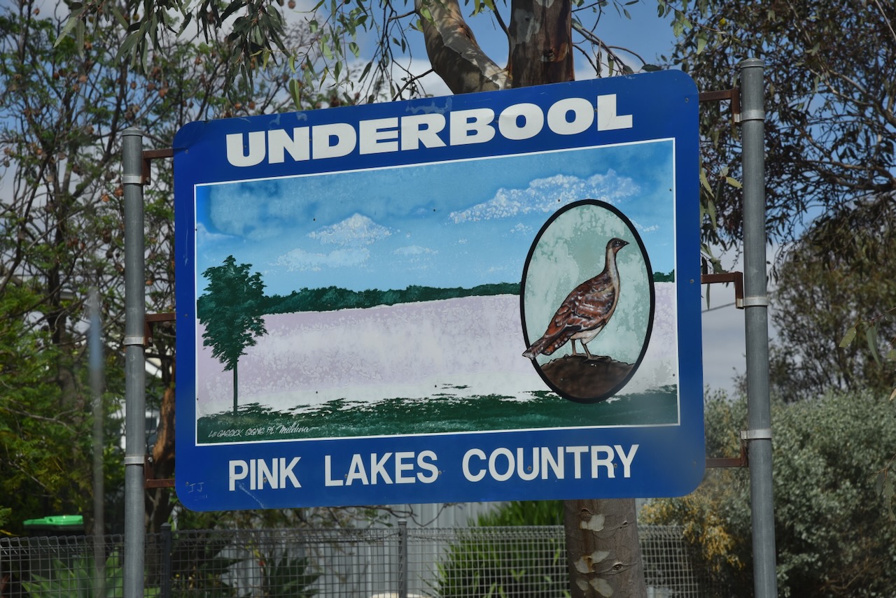
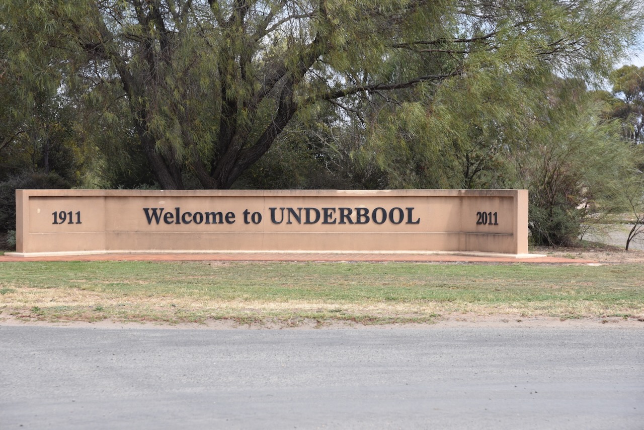
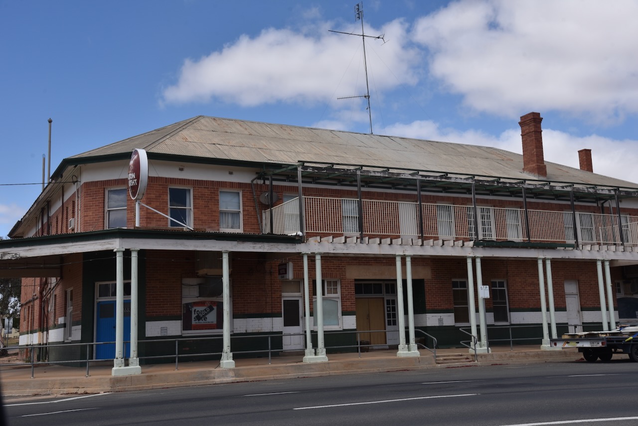
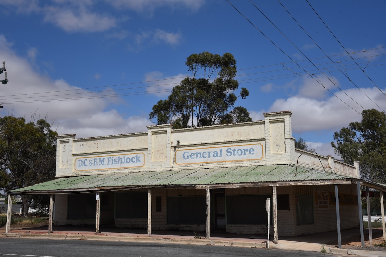
Prior to activating the park, we had some lunch in Underbool, a small town on the Ouyen Highway, about 50 km west of Ouyen.
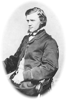
It is believed that the town’s name is derived from the German word underbolt, which was the name given by surveyor Dr. Georg von Neumayer when he camped in the area in October 1861. (Wikipedia 2025)
Above: Georg von Neumayer. Image c/o Wikipedia
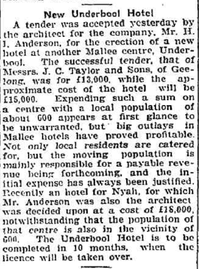
Following the opening in 1903 of the Mildura railway running via Ouyen, the belief was formed that the country west of Ouyen appeared to be suitable for dry farming. Test bores were sunk, and these confirmed the availability of water. In 1912, the railway line west of Ouyen was opened to Underbool, Murrayville, and Pinnaroo. On the 15th day of July 1912, the Post Office opened. In 1913, the Underbool Primary School No. 3819 was opened, and a public hall was constructed. In 1917, a bush nursing centre was opened. By 1918, Underbool contained several stores and businesses, but it would not be until 1925 that a hotel was built. In 1921, Underbool’s population was 380 people. A Methodist church was also built in 1925. (Victorianplaces.com.au, 2026)
Above: article from the Geelong Advertiser, Wed 16 Jul 1924. Image c/o Trove
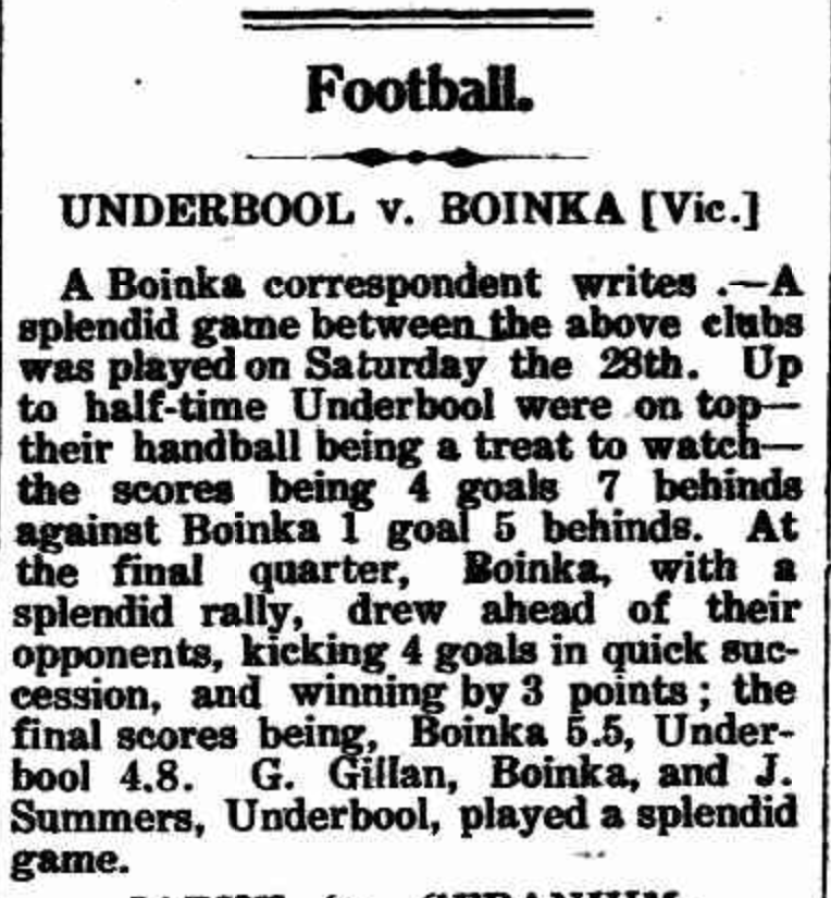
The Underbool Football Club was established in 1913. During the 1920s, tennis, gold and cricket clubs were formed in Underbool. In the 1930s, basketball and bowling clubs were formed. (Victorianplaces.com.au, 2026)
Above: article from the Pinnaroo and Border Times, Fri 4 Jul 1913. Image c/o Trove
We then drove west on the Mallee Highway and then north along Pink Lakes Road until we reached the park.
As is the case with Wyperfeld National Park, Marija and I have visited Murray Sunset many times and have activated it several times for the WWFF program and the KRMNPA.
Murray Sunset National Park is 633,000 hectares (1,560,000 acres) in size and was established in 1991. It was expanded in 1999 to include Pink Lakes State Park. (Wikipedia 2021)
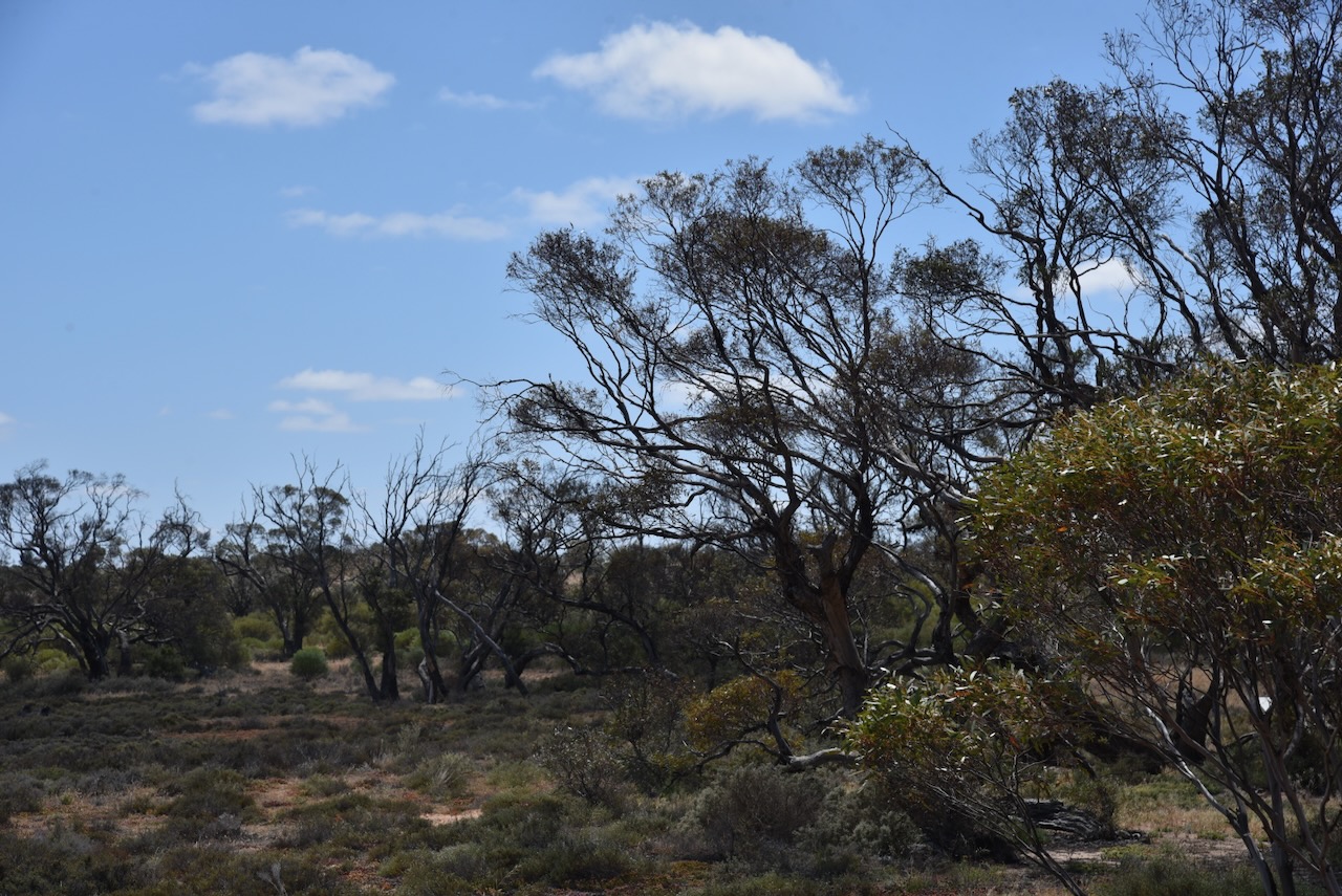
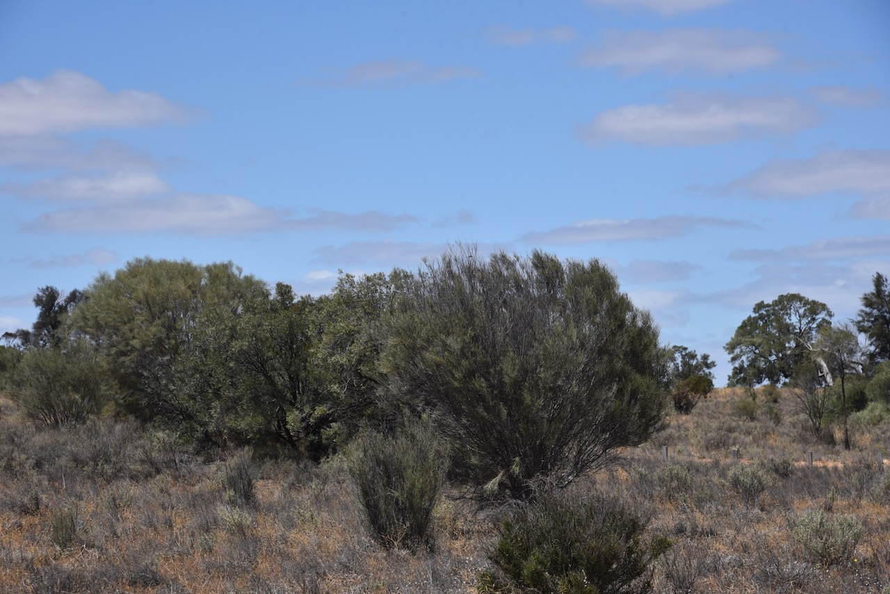
The majority of Murray Sunset National Park lives within the Murray-Sunset, Hattah and Annuello Important Bird Area (IBA). The IBA was identified by BirdLife International due to its mallee habitat supporting several threatened mallee species birds, including the malleefowl, black-eared miner and mallee emu-wren. (Wikipedia 2021)
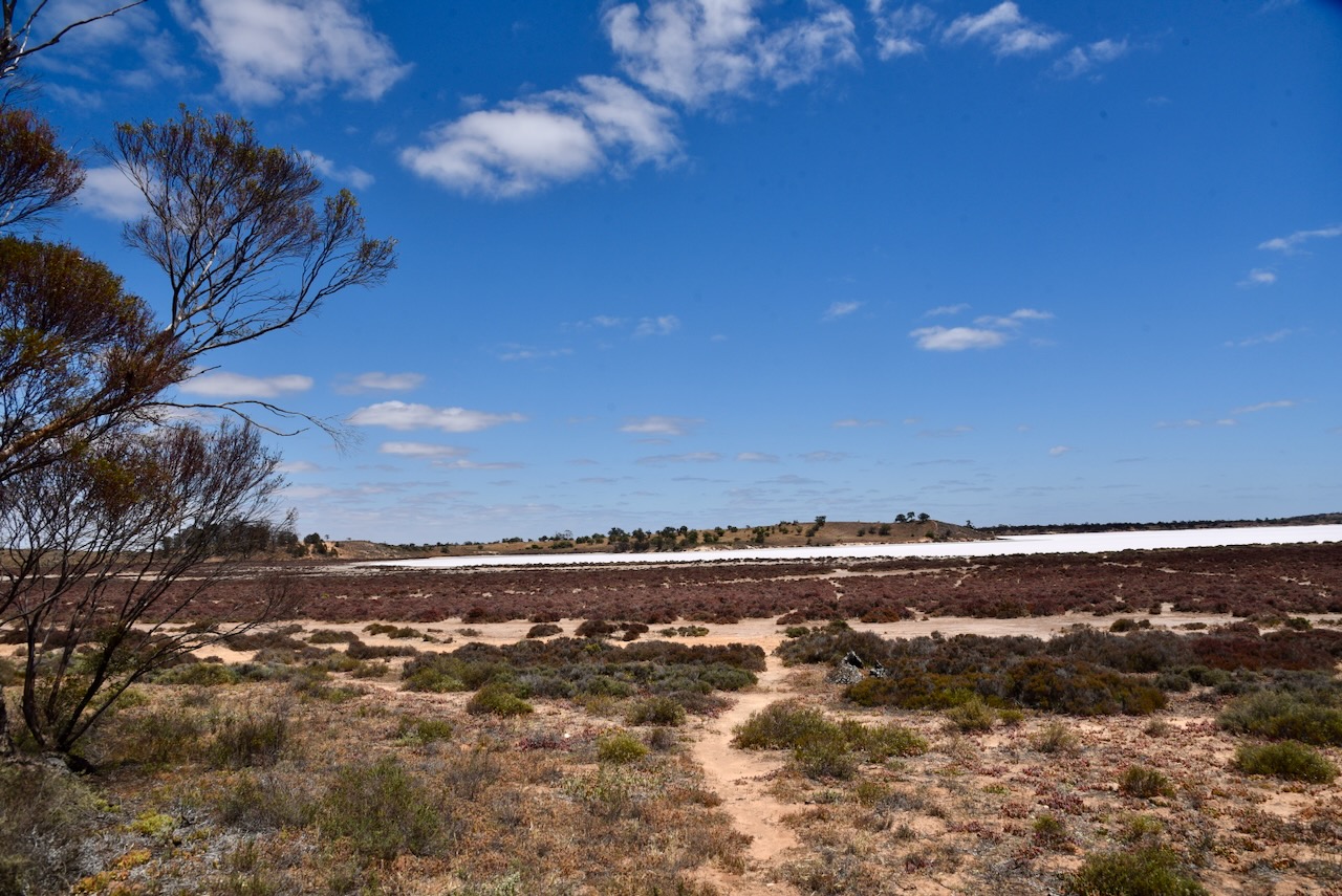
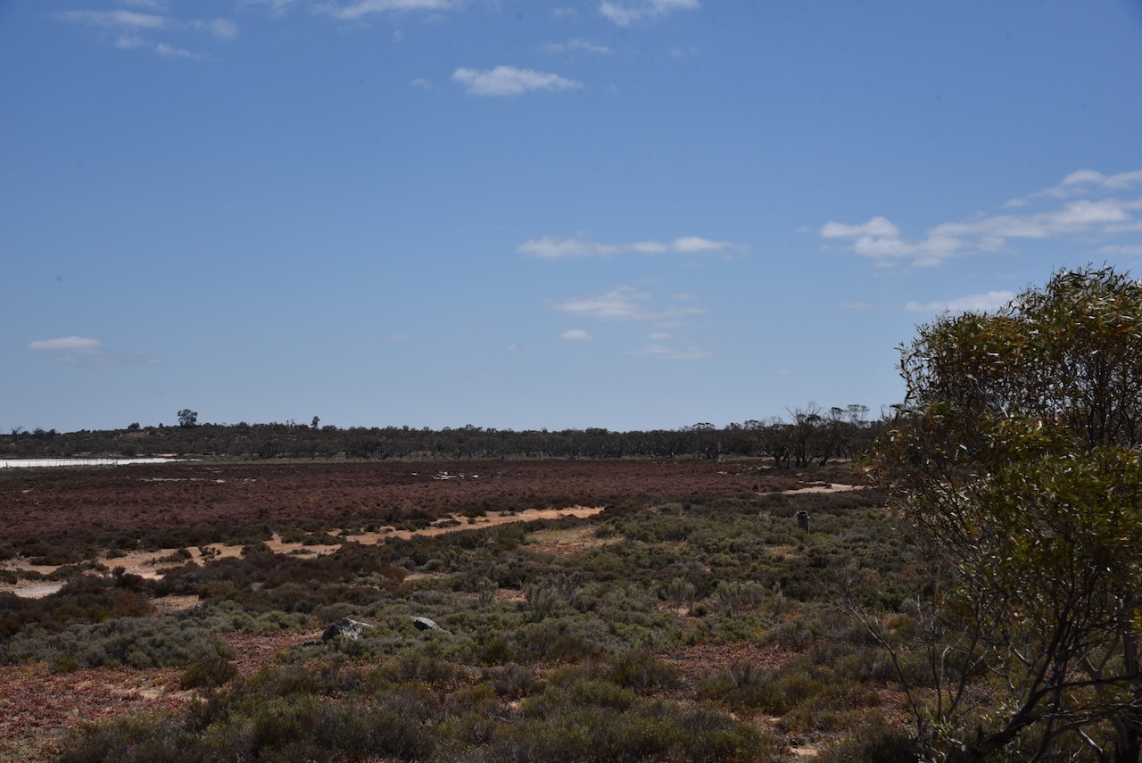
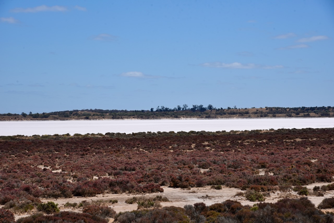
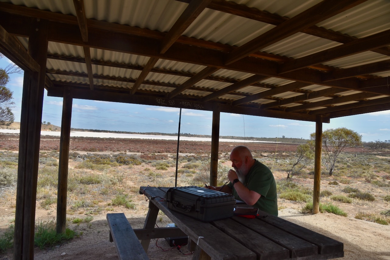
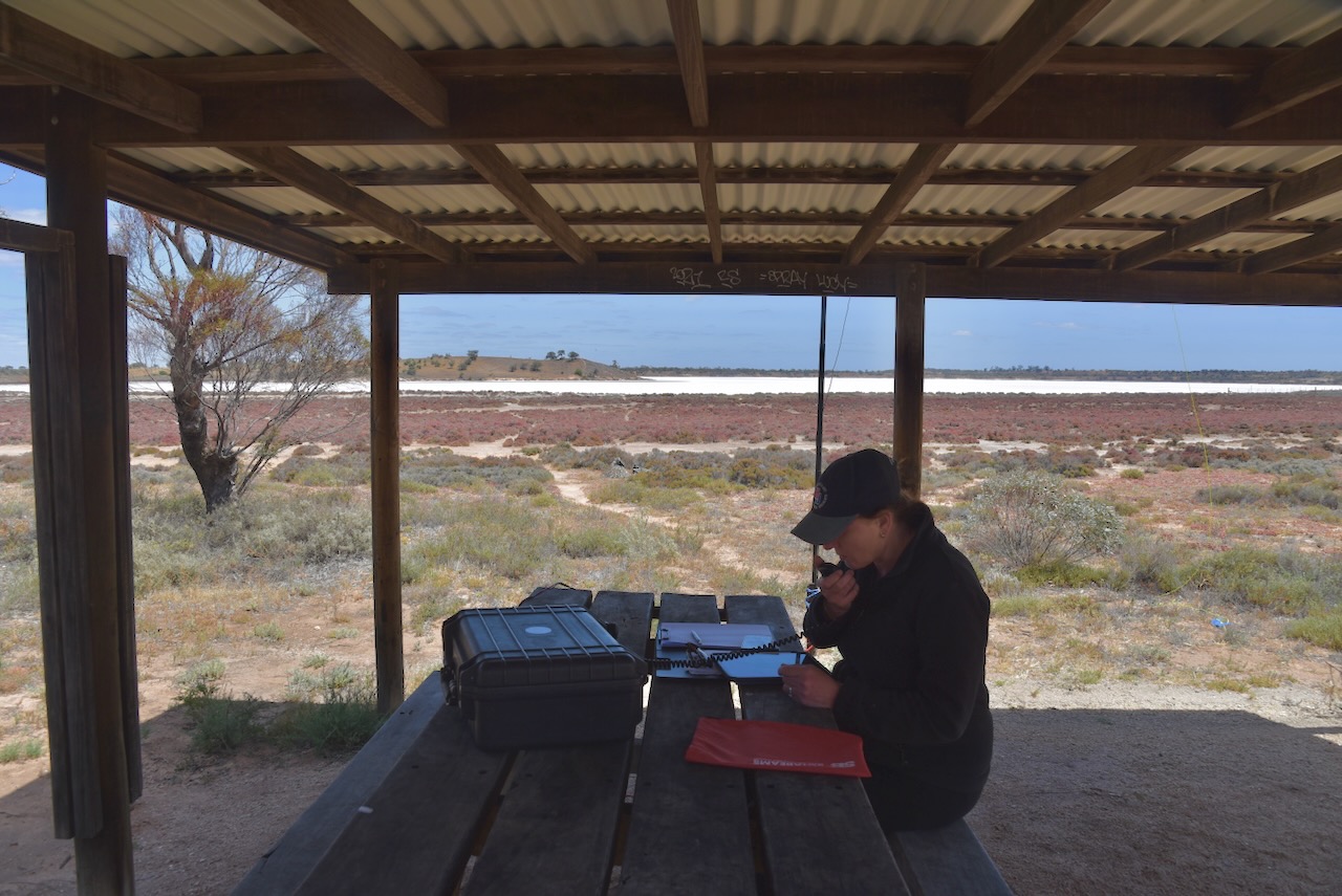
Marija and I set up in a shelter shed on the edge of Lake Crosby. We ran the Yaesu FT857, 40 watts, and the 20/40/80m linked dipole.
Marija worked the following stations on 40m SSB:-
VK3APJ
VK2HAK
VK2MAB
VK3GJG
VK3PF
VK3KAI
VK5WU
VK3DAC
VK2VW
VK2HFI
VK2AKA
VK2BUG
VK5HS/P (VKFF-0831)
VK3ZPF/P (VKFF-0420)
VK3JW/P (VKFF-0420)
VK3PJF/P (VKFF-0420)
Marija worked the following stations on 20m SSB:-
VK4SMA
VK2NP
VK4EW
VK4JG
I worked the following stations on 40m SSB:-
VK3APJ
VK2HAK
VK2MAB
VK3GJG
VK3PF
VK3KAI
VK5WU
VK3DAC
VK2VW
VK2HFI
VK2AKA
VK2BUG
VK3FS/M
VK3ATT/M
VK1AD
VK1NAM
VK3UZI
VK3CEO
VK5AAF
VK1DI
VK2USH
VK5HS/P (VKFF-0831)
VK5FANA
VK2VH
VK4AAC
VK3UH
VK3USA
VK3AKO
VK3CLD
VK2DBF
VK5QA
VK3ZPF/P (VKFF-0420)
VK3JW/P (VKFF-0420)
VK3PJF/P (VKFF-0420)
VK7EE
VK3ABI
VK3GCD
VK3ZSC
VK5DOC
VK3ZS
VK3FRC
VK3GB
VK4MCW
VK3SQ
VK2BD
VK3JT
VK3TWE
VK3SMW
I worked the following stations on 40m AM:-
VK2VH
VK4AAC
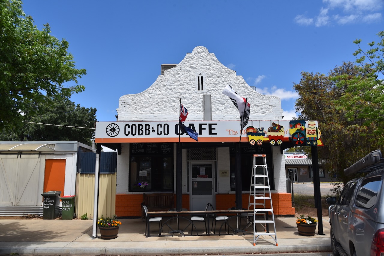
Marija and I packed up, and we headed west to the little town of Murrayville, where we stopped at the Cobb & Co Cafe for some lunch.
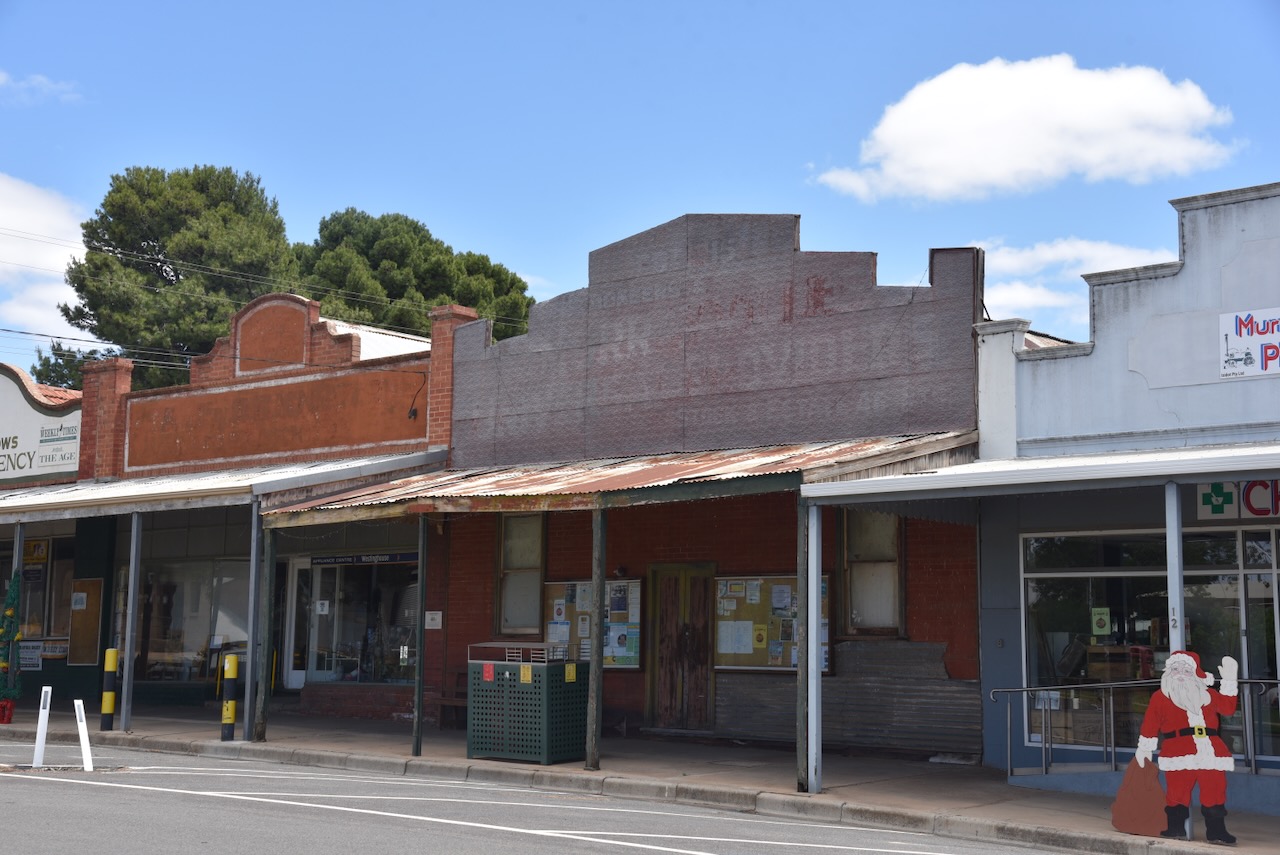
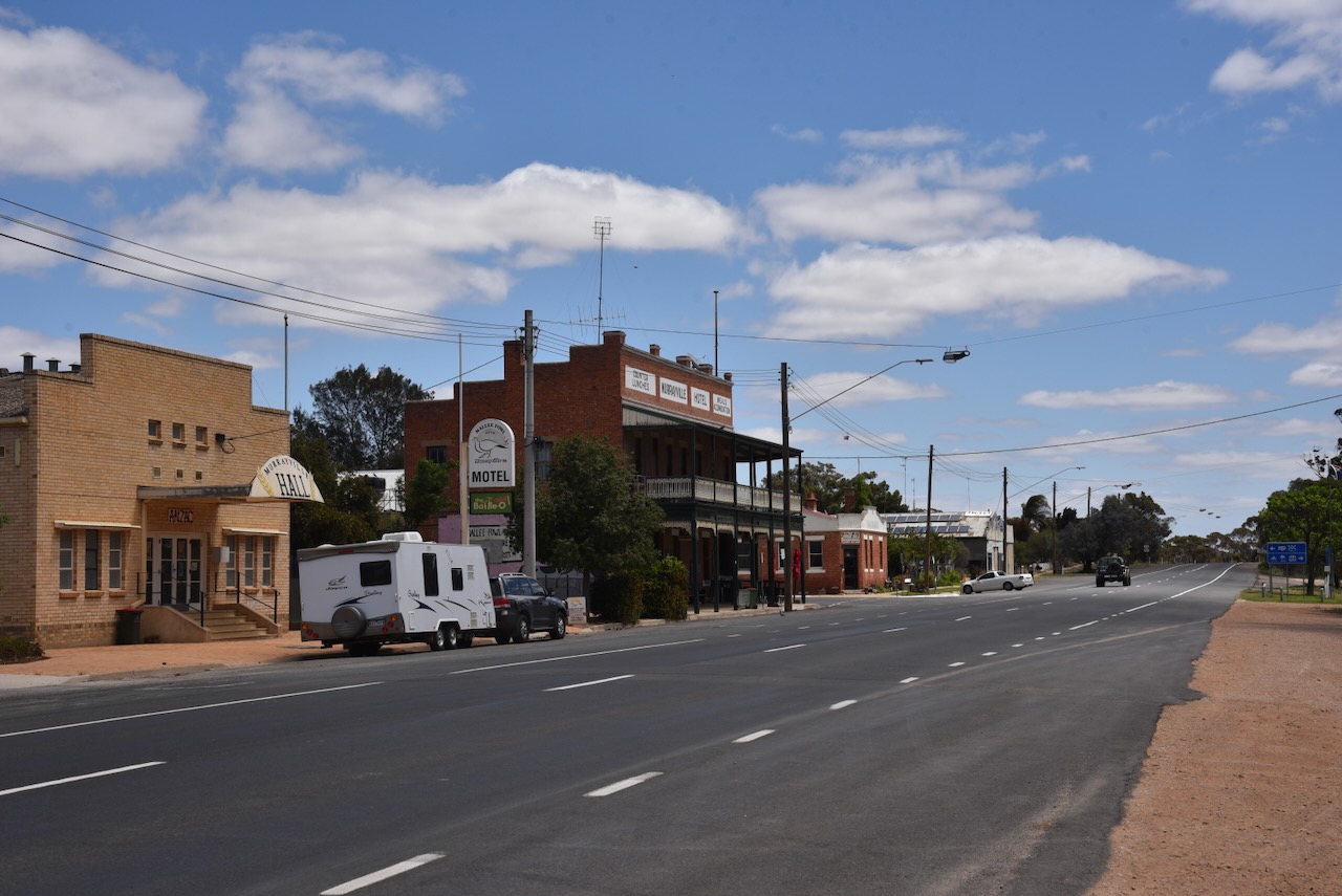
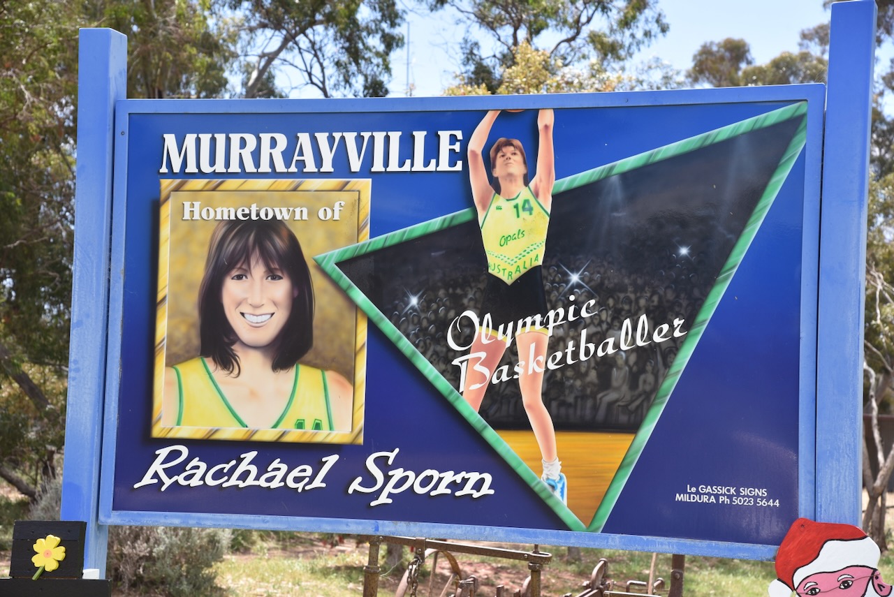
Murrayville is about 20 km from the South Australian border and about 105 km west of Ouyen. We have travelled through here numerous times and often stayed here. It is a beautiful little town.
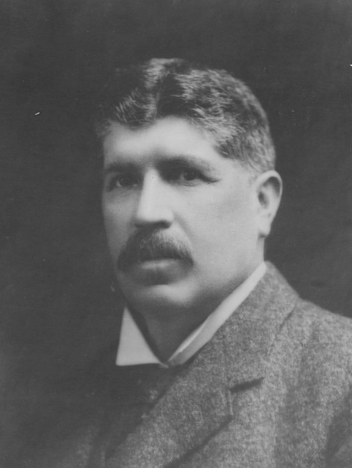
The town of Murrayville was surveyed in 1909-1910 and is named in honour of John Murray, the Victorian State Premier from 1909-1912.
Above: John Murray. Image c/o Wikipedia
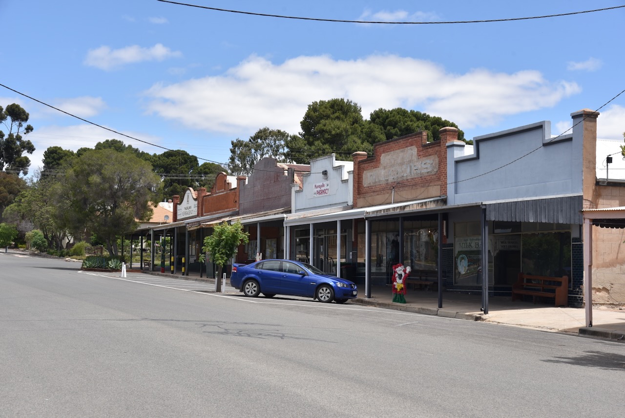
In its day, Murrayville was the largest of several settlements west of Ouyen. It boasted a hotel, a mechanics institute, a school, a Methodist church, and several stores.
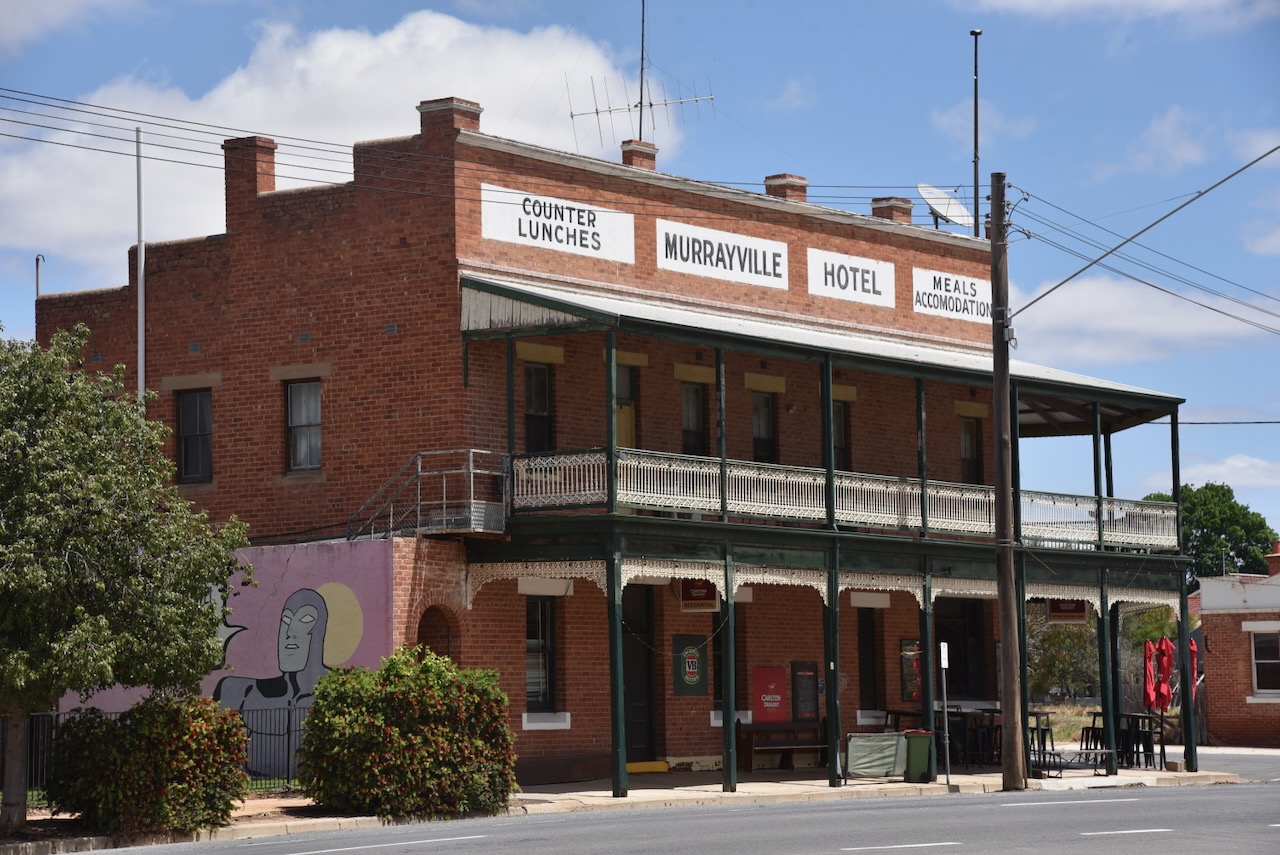
Undoubtedly, the premier building in the town is the Murrayville Hotel which was built in 1911.
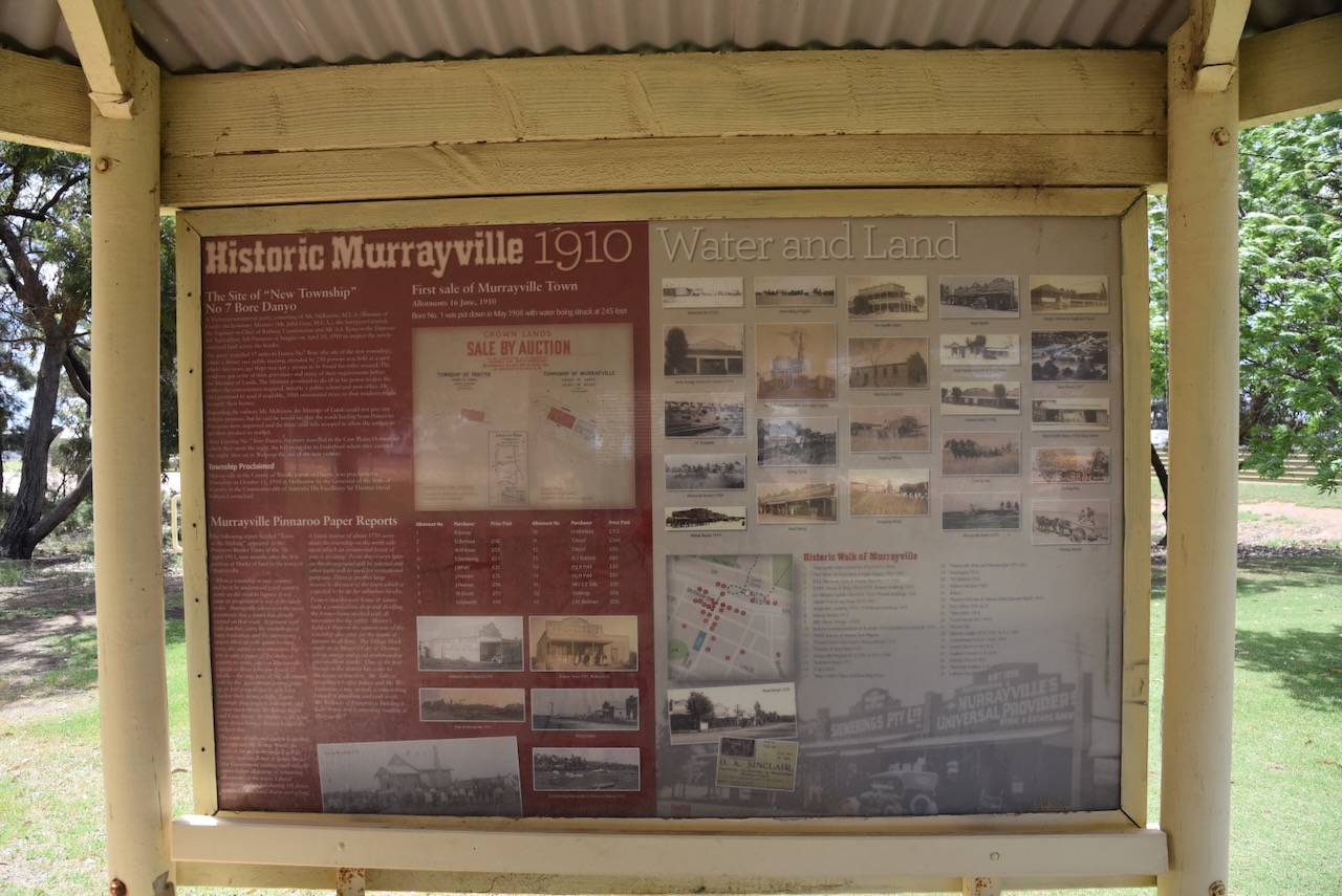
Opposite the hotel is a lovely stopover area with information boards detailing the town’s history and information relating to the district.
Marija and I left Murrayville and headed west on our way home.
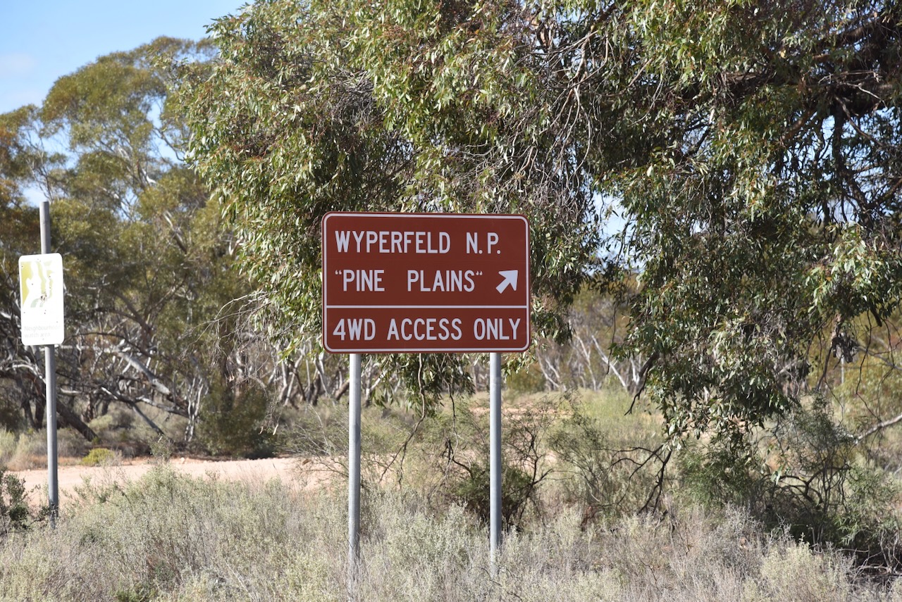
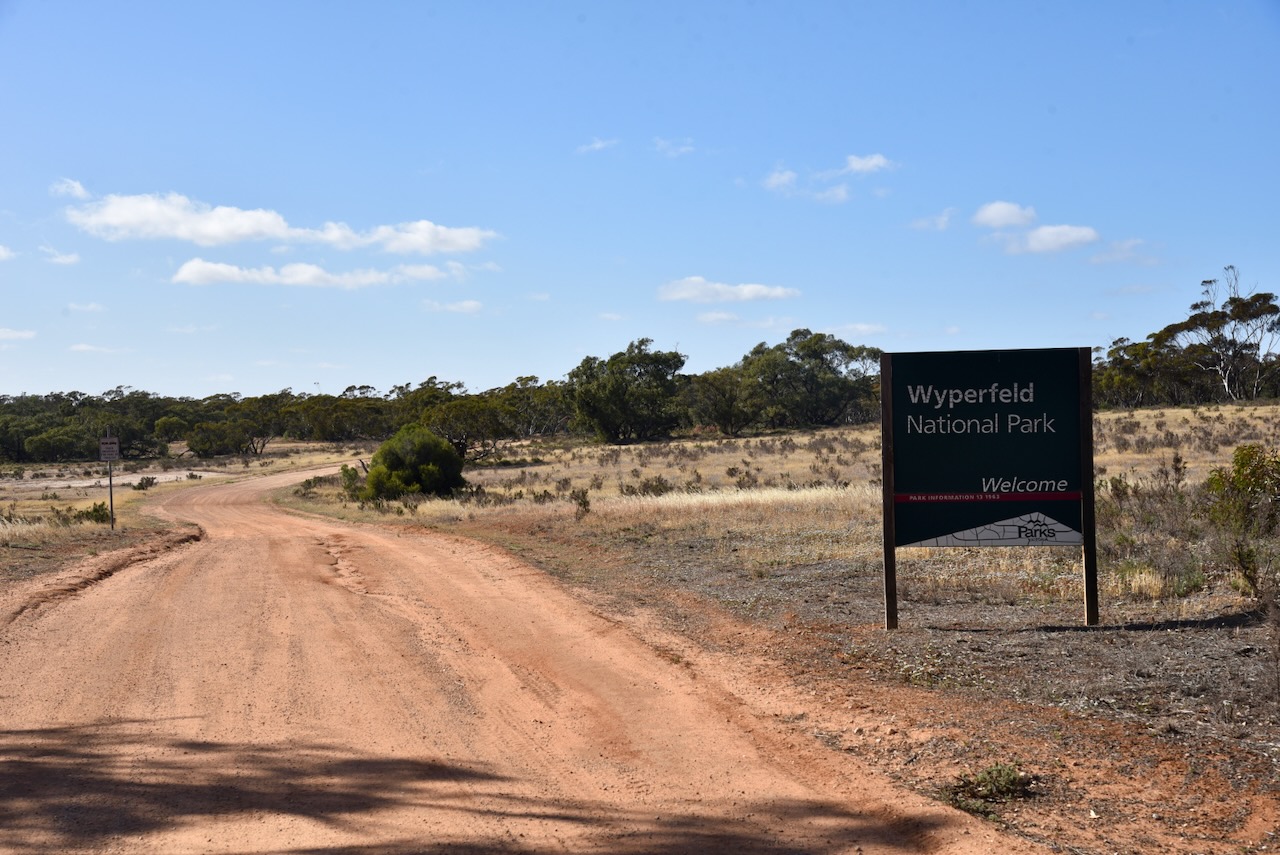
It was now Saturday, the 8th day of November 2025, and time for Marija and I to head home after a magnificent couple of weeks away. It was also the Keith Roget Memorial National Parks Award (KRMNPA) Weekend. Marija and I had 2 planned park activations for the KRMNPA Weekend, the Wyperfeld National Park and then the Murray Sunset National Park.
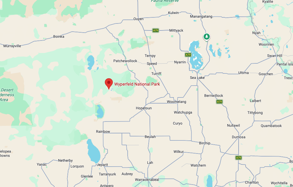
Above: Map showing the location of Wyperfeld National Park. Map c/o Google Maps
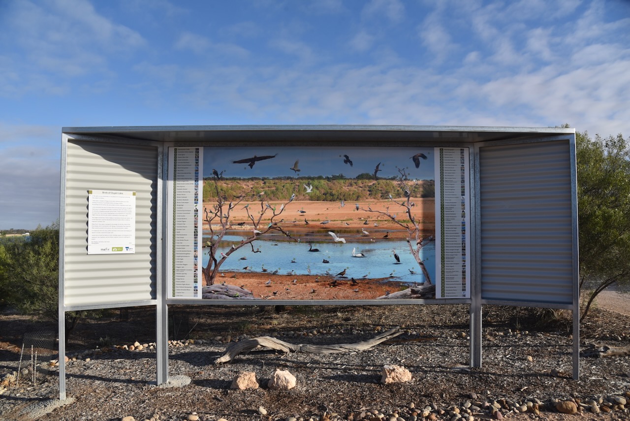
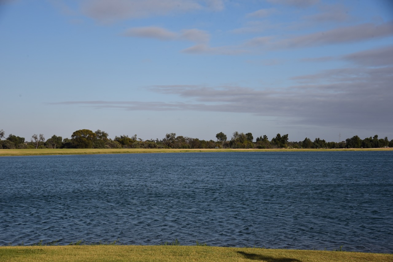
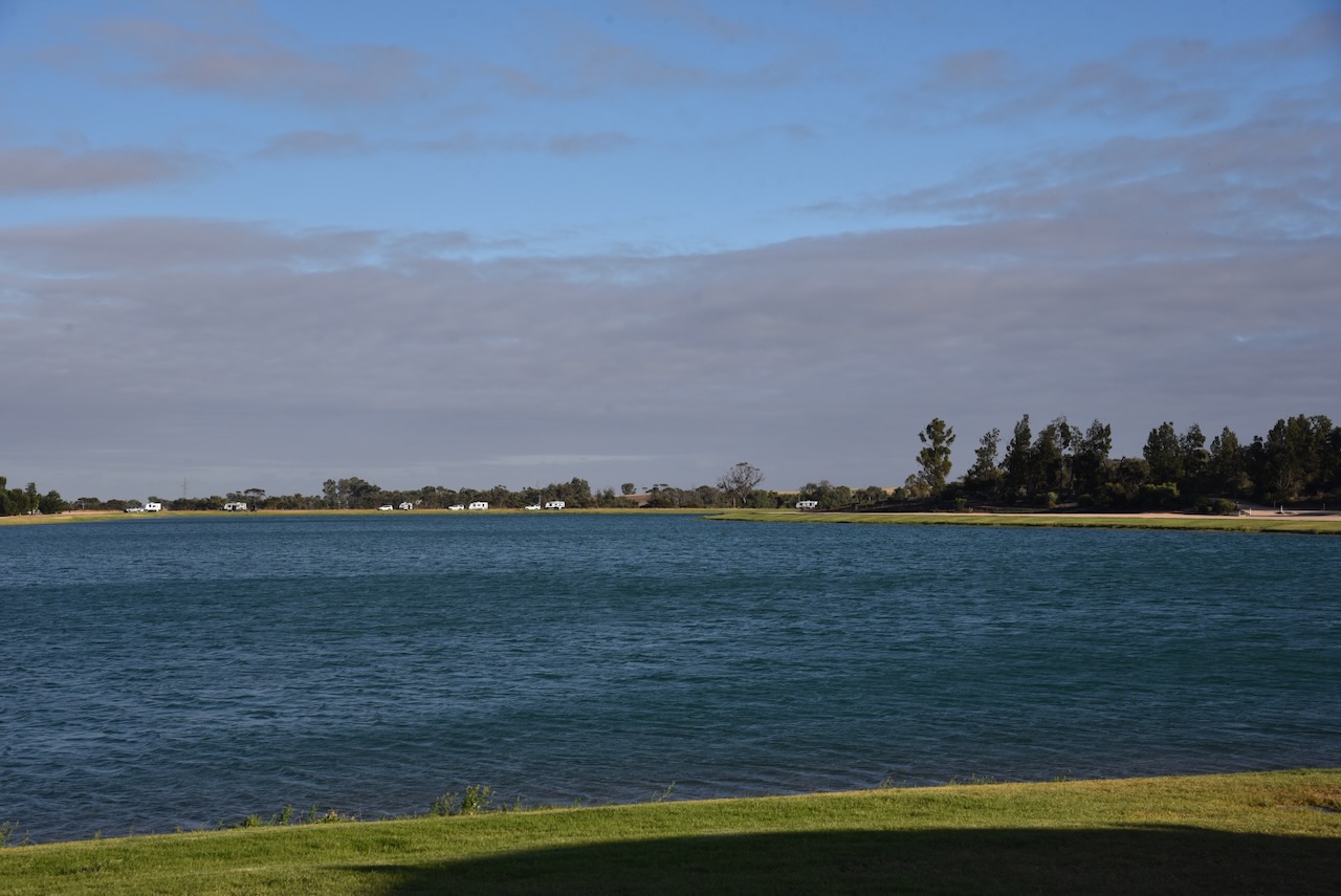
After breakfast in Ouyen, we headed to Ouyen Lake on the northwest side of the town of Ouyen. Ouyen Lake is a 14.3 hectare man-made lake on the site of the old Ouyen Reservoir. It was opened in October 2018.
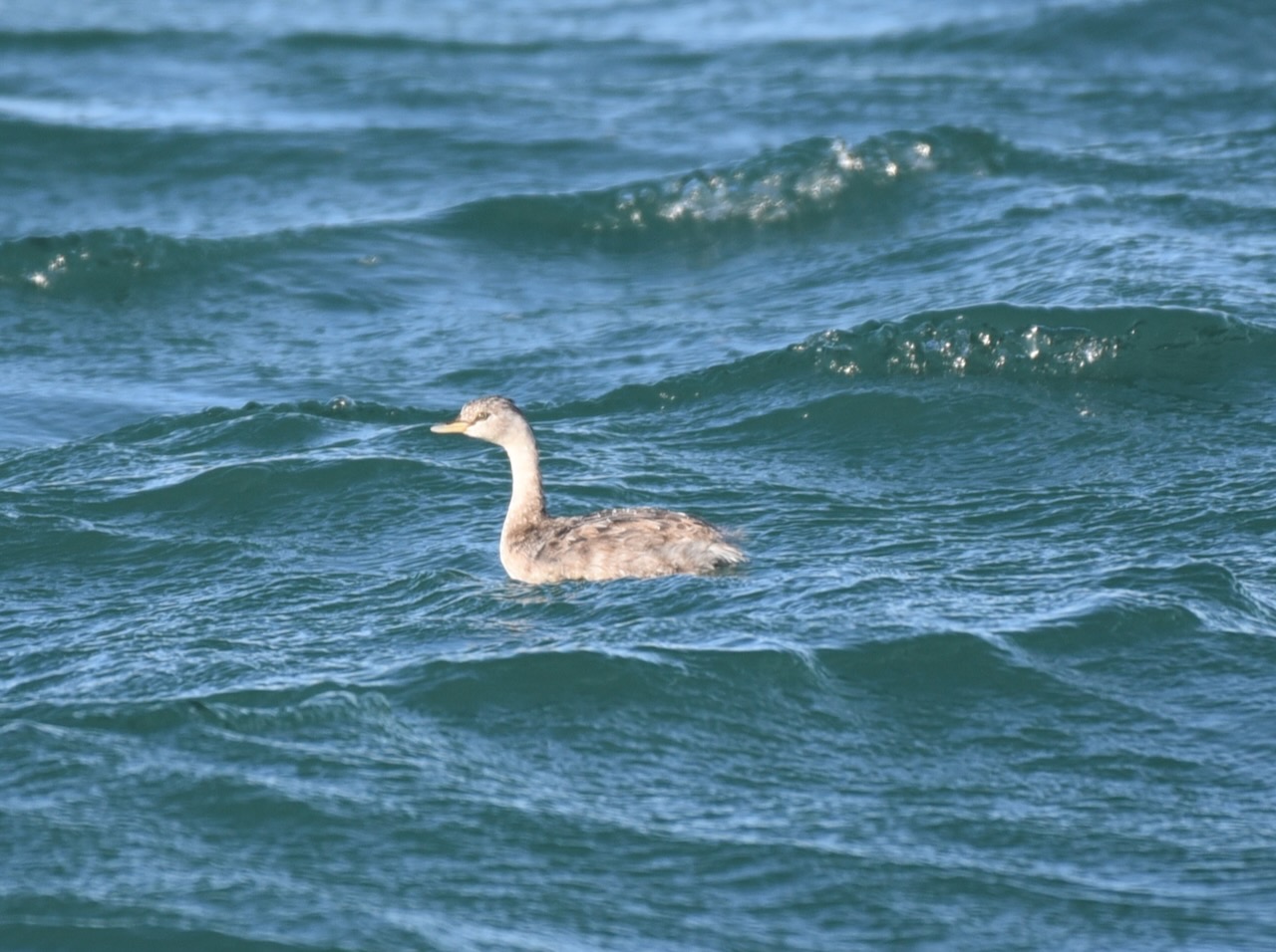
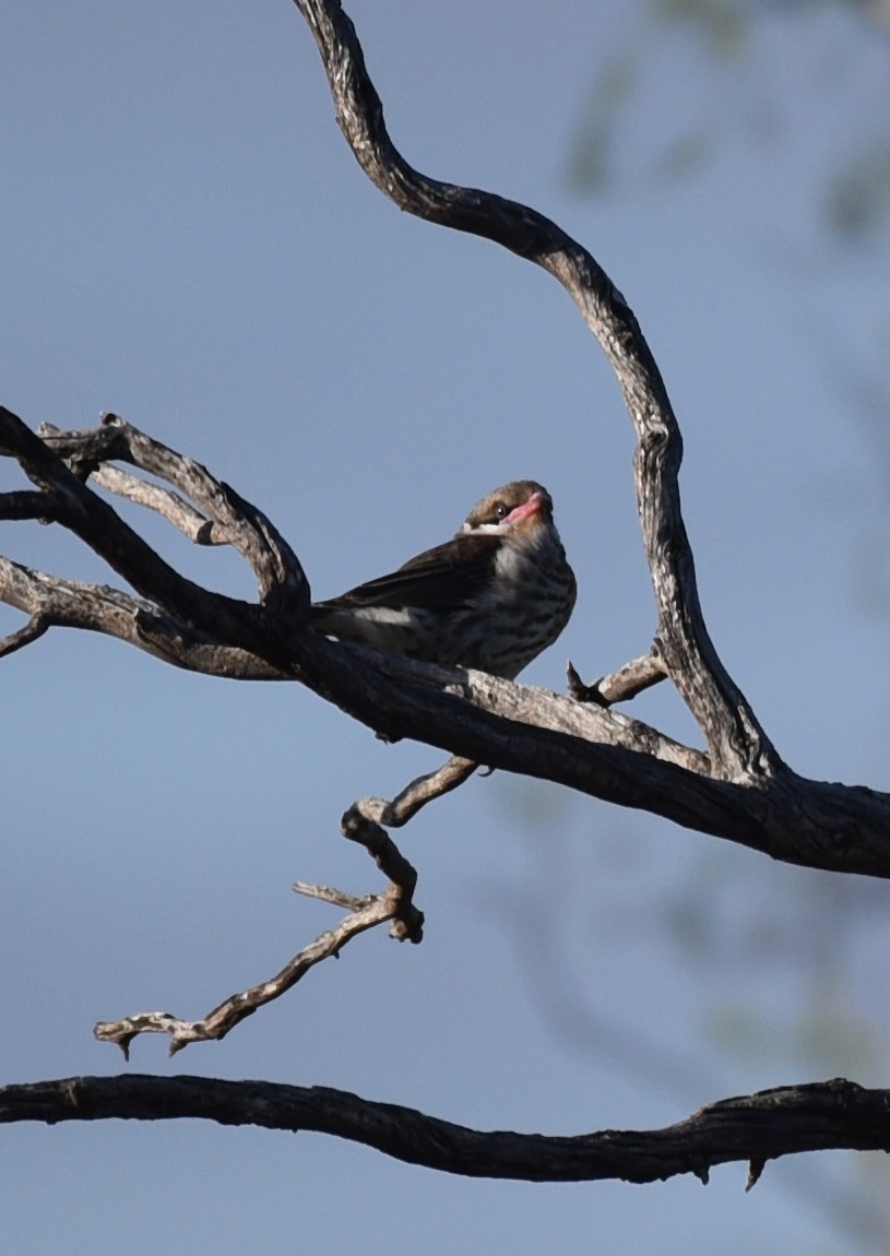
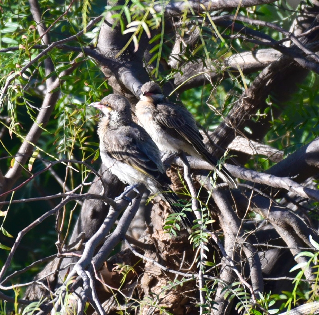
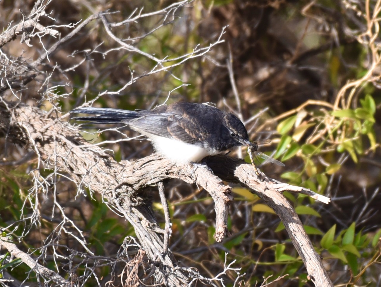
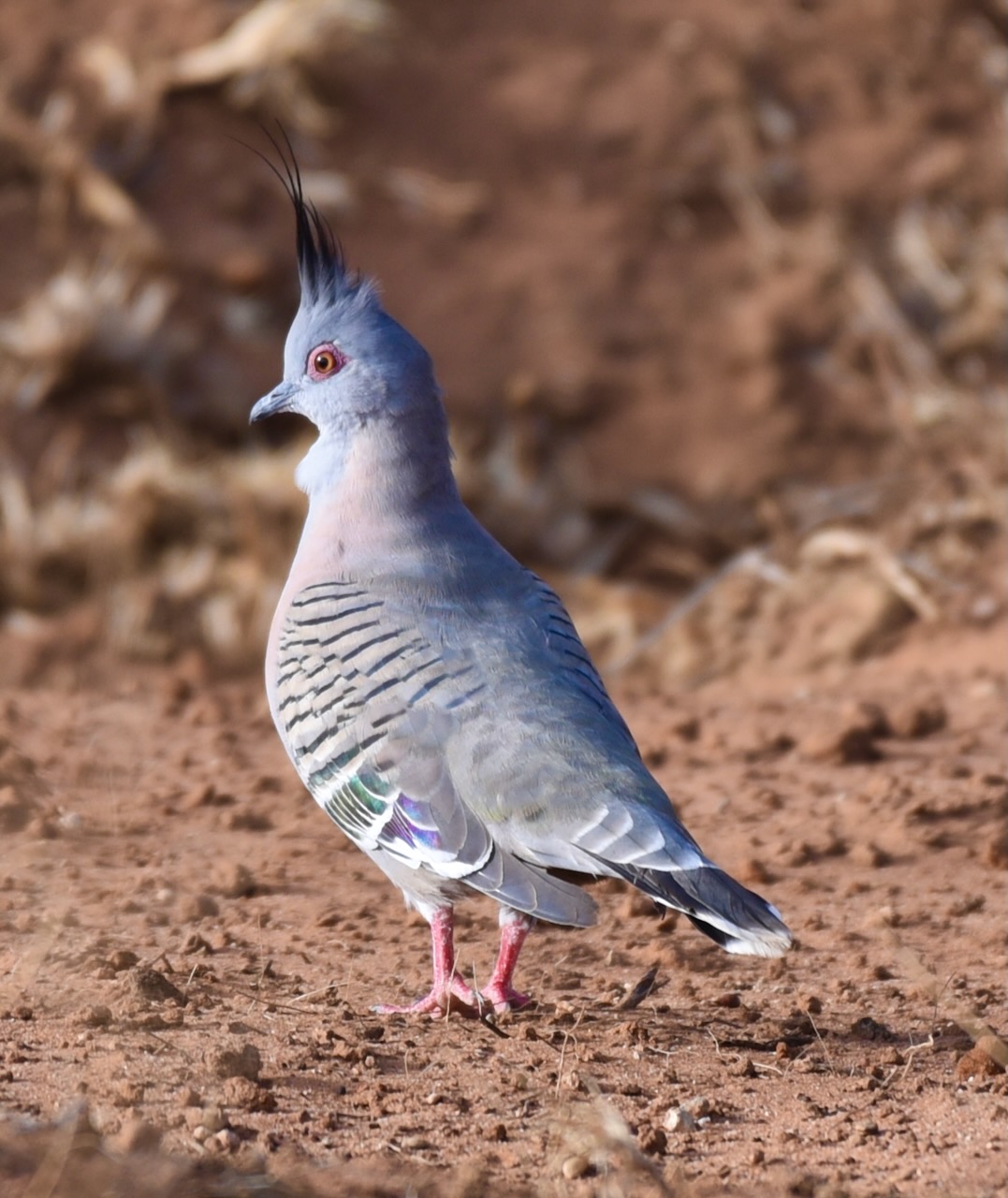
We spent about 45 minutes at the lake, trying my luck with some bird photography.
Marija and I have visited Wyperfeld numerous times and activated the park for the World Wide Flora Fauna (WWFF) program and the KRMNPA.
We accessed the park via travelling south out of Underbool on the Underbool-Patchewollock Road, and then Gunner Road.
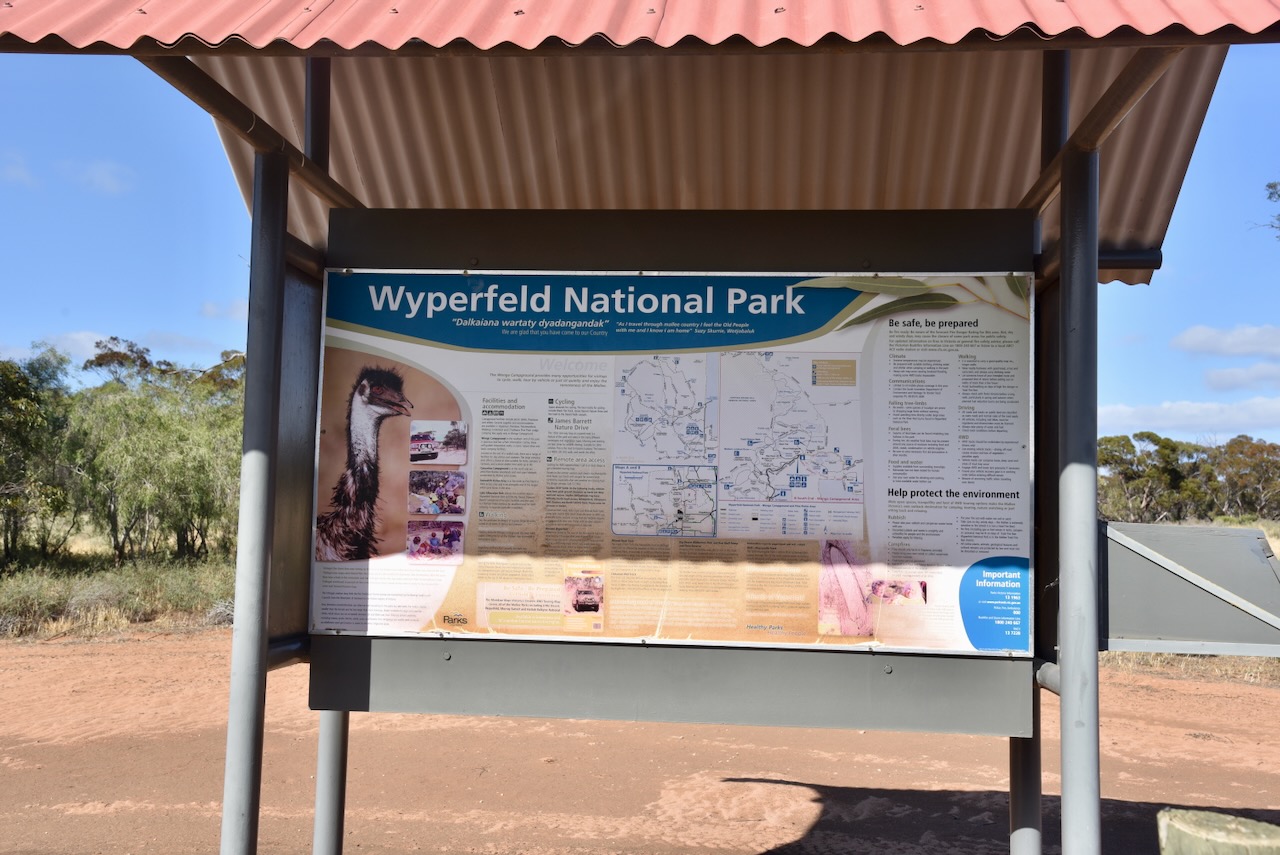
The Wyperfeld National Park is Victoria’s third-largest national park. Only the nearby Murray Sunset National Park, and the Alpine National Park are larger. It was created in 1921 and is 357,000 hectares (882,000 acres) in size. It preserves mallee, woodland, and heathland and was Victoria’s first Mallee park. (ancestry 2016) (Durham 2001)
Wyperfeld National Park is part of the Wyperfeld, Big Desert and Ngarkat Important Bird Area, which has been identified by BirdLife International due to its importance for the conservation of various mallee birds, including the malleefowl. (Wikipedia 2016)
The park is located in the Big Desert, which is part of the Victorian bioregion called the Lowan Mallee. The highest point in the park is a sand dune at about 1234 metres above seal level (Durham 2001)
Wyperfeld is named after the Parish of Wyperfeld, in which the original section of the park is located. It is believed that Wyperfeld is derived from the German language: Wyper meaning a tributary of the Rhine River, and feld meaning field. The correct pronunciation of the park is wiper feld. (Durham 2001)
The Wyperfeld National Park is the traditional home of the Wotjobaluk Aboriginal people. The park contains several scar trees and middens. In 1995, a stone hand mortar and pestle were located at a sand dune at Pine Plains. (Durham 2001)
In 1830, the explorer Charles Napier Sturt travelled close to the park during his exploration of the western flowing rivers of New South Wales. (Trove 2026)
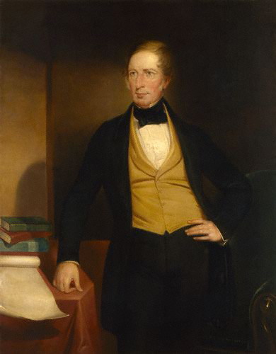
Above: Charles Sturt. Image c/o Wikipedia
In 1836, Major Thomas Livingstone Mitchell touched the eastern boundary of the park during his third expedition.
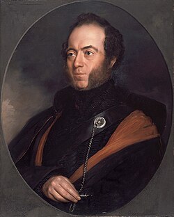
Above: Major Mitchell. Image c/o Wikipedia
The first European to settle in the district was James Maxwell Clow in 1848, who took up Ballarook run, west of Lake Hindmarsh. He also took up Pine Plains run in the Big Desert, which later included Wonga Lake Station. He was born in Bombay, India, in December 1820. In 1837, he emigrated to Australia with his parents. His father was Reverend James Clow, who conducted the first Presbyterian service in Melbourne. Clow went on to become the Assistant Commissioner for Crown Lands in 1851 and then Commissioner. He was also a Magistrate from 1856 to 1871. He died in 1894. (ancestry 2016) (Durham 2001)
Above: James Maxwell Clow. Image c/o State Library Victoria
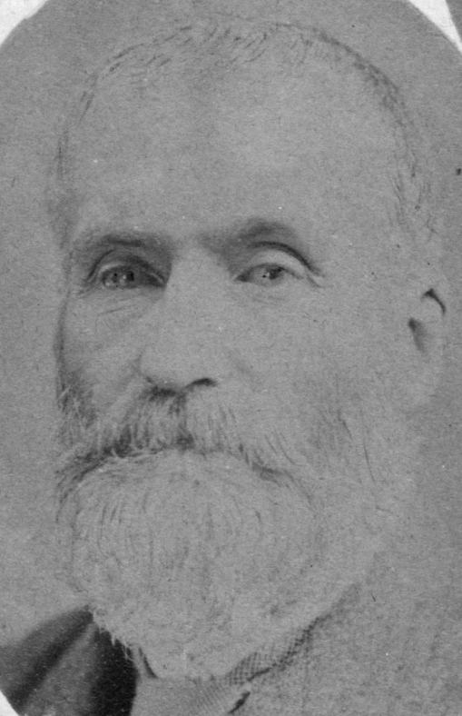
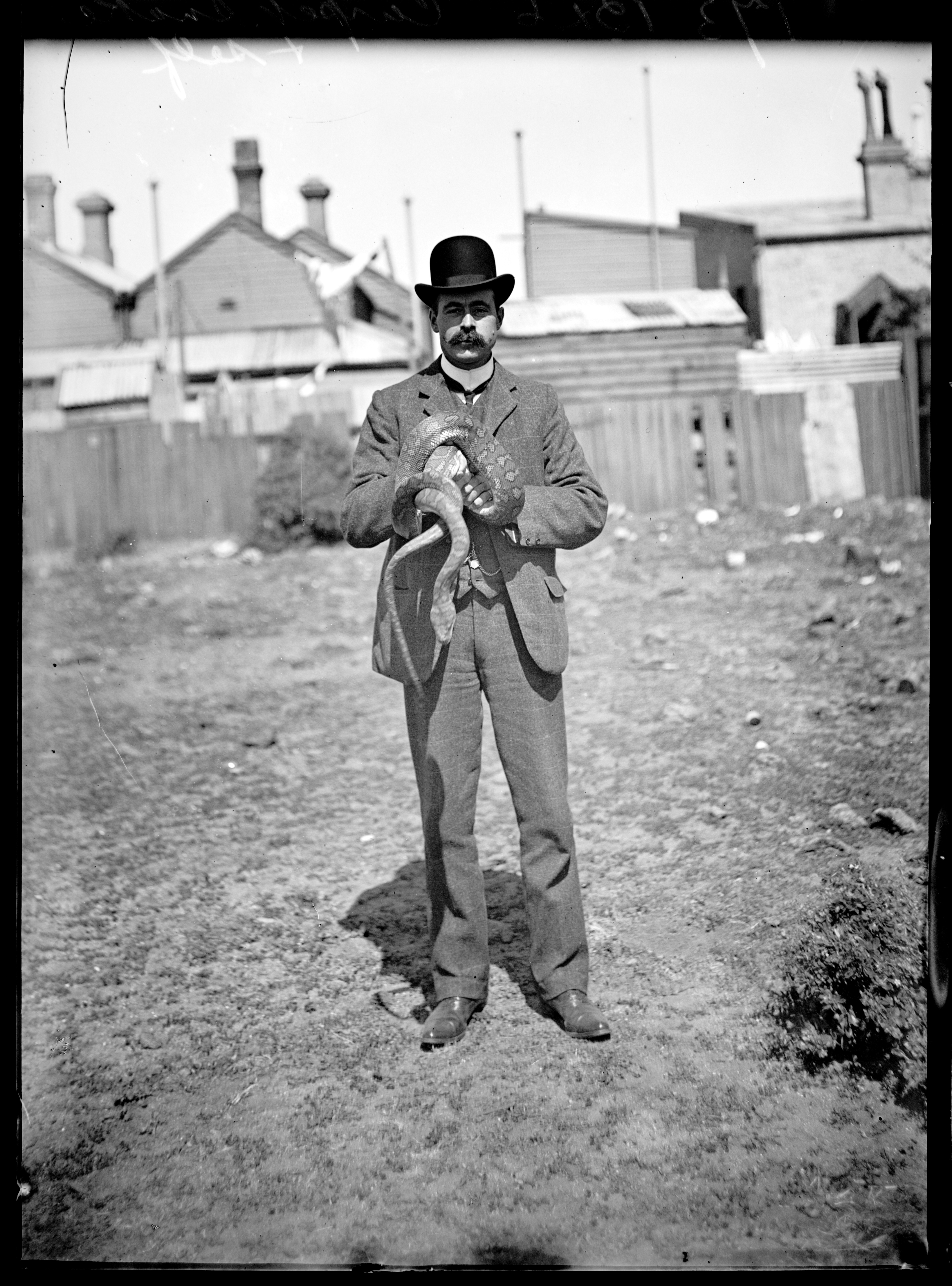
Charles Henry McLennan was born in August 1854 at Fiery Creek, Victoria. During the 1890s, he was employed on Cambacanya Station and Pine Plains Station and worked as a dingo trapper. He claimed to have trapped about 3,000 dingoes, but sadly, he also often found Mallee Fowl in the traps. (ancestry 2016) (Anbg.gov.au, 2020) (Durham 2001)
Above: Charles McLennan. Image co ancestry.com.au
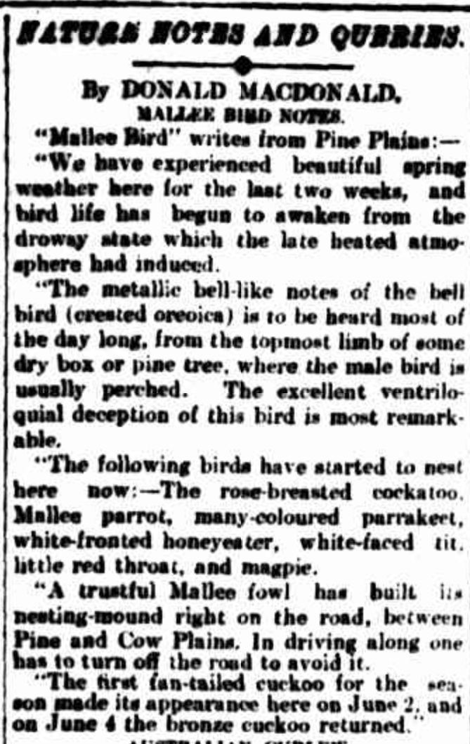
McLernnan became an acclaimed naturalist and bird watcher. Under the alias of ‘Mallee-Bird’, he wrote in the Nature Notes column of The Argus newspaper in Melbourne, Victoria. (Anbg.gov.au, 2020)
Above: article from The Argus, Fri 22 Jun 1906. Image c/o Trove
In September 1907, Arthur Mattingley, Jack Ross, and Franke Howe visited the Wyperfeld area. McLennan acted as their guide. (Durham 2001)
Arthur Herbert Evelyn Mattingley was born in 1870 and was a renowned Australian bird photographer and ornithologist. He was a founding member of the Royal Australasian Ornithologists Union. (Wikipedia 2025)
Above: Arthur Mattingley. Image c/o State Library Victoria
Frank Ernest Howe was born in February 1878 in South Melbourne, Victoria. He was a keen oologist and ornithologist, and had an acute ear for bird calls. (Eoas.info 2018)
John ‘Jack’ Alexander Ross was born in April 1868 in Castlemaine, Victoria. He was a solicitor and ornithologist. (Eoas.info 2018)
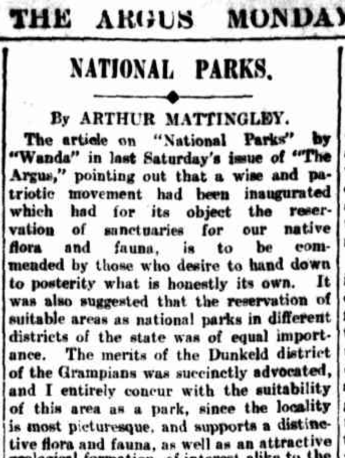
In August 1908, Mattingley wrote in The Argus newspaper how he was privileged to visit the locality in September 1907.
Mattingley wrote:
“Another tract of country that should be set aside as a national park, on account of the unique characteristics of its flora and fauna and geological formation, is a locality known as Brambrook situated in the Mallee, and lying between Ouyen and Pinaroo, and close to Pine Plains. The whole country thereabouts is one huge national park already made…….Mobs of emus and kangaroos freely dotted these places, and in the Mallee thickets, the wonderful nesting mounds of the Mallee fowl were numerous. Pigeons and cockatoos swarmed in this yet undisturbed country.” (Trove 2026)
He went on to say:
“Were this done the finest national park, and one already made to order, and containing a unique flora and fauna, would be reserved for the present generation, as well as for posterity.” (Trove 2026)
Above: part of an article from The Argus, Mon 31 Aug 1908. Image c/o Trove
In 1909, as a result of negotiations with the Victorian State Government, an area of 9,600 acres at Wyperfeld was set aside as a reserve. (Durham 2001)
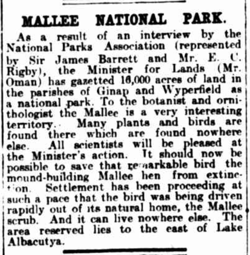
Sir James William Barrett (b. 1862. d. 1945) was the Chairman of the National Parks Association, and he was instrumental in having the Wyperfeld National Park declared in 1921. (Durham 2001)
Above: article from The Argus, Melbourne, Tue 11 Oct 1921. Image c/o Trove
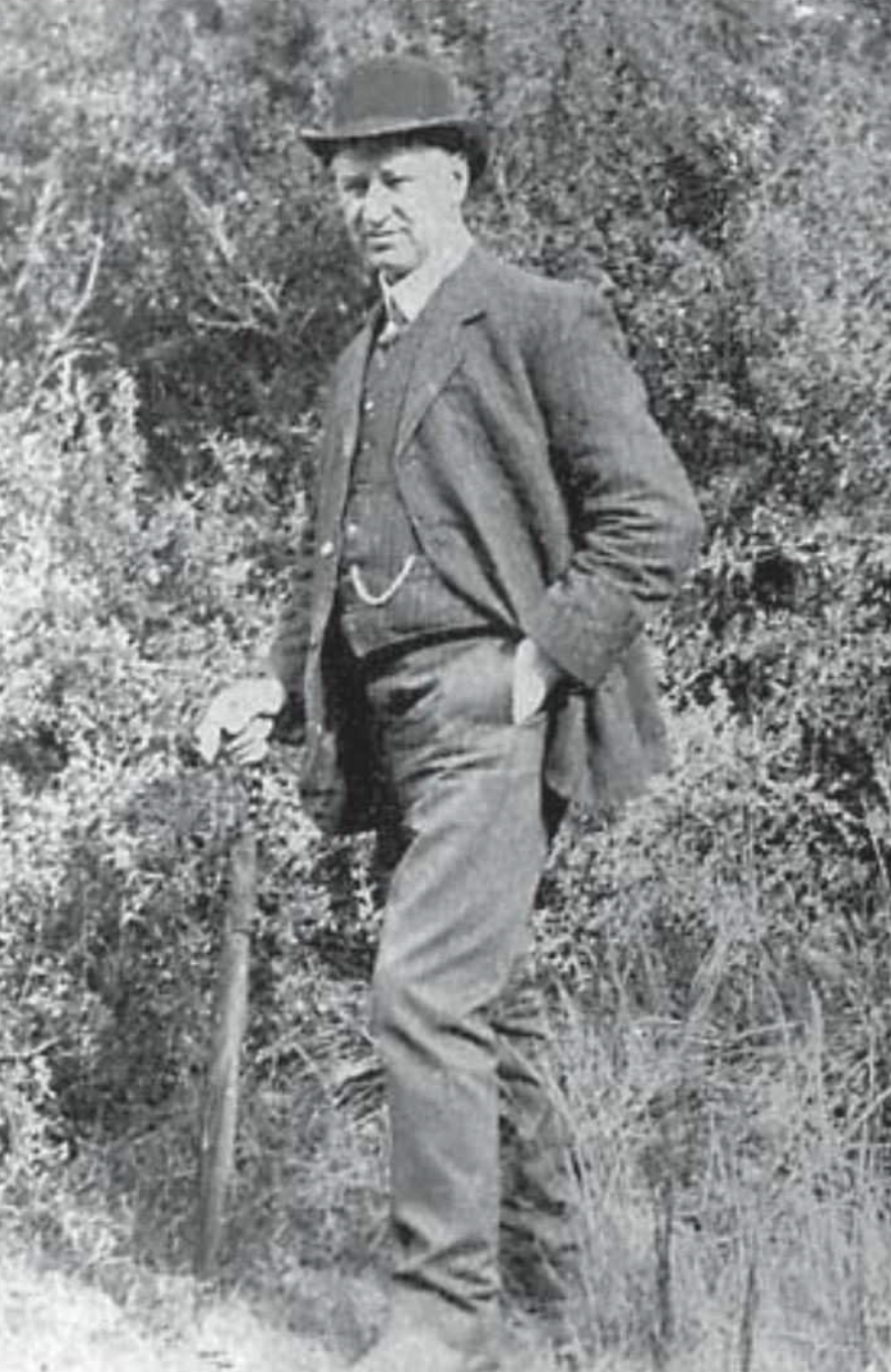
In 1948, Wyperfeld’s first caretaker was appointed. Alexander Edward George ‘Rudd’ Campbell was born in Nypo (near Rainbow), Victoria, in May 1913. He was appointed as ‘caretaker’ in July 1948 and was the ranger at Wyperfeld from 1958. He continued in that role until November 1970, when he died as a result of a heart attack. (ancestry 2016) (Durham 2001)
Above: Rudd Campbell. Image c/o Friends of Wyperfeld National Park Facebook page
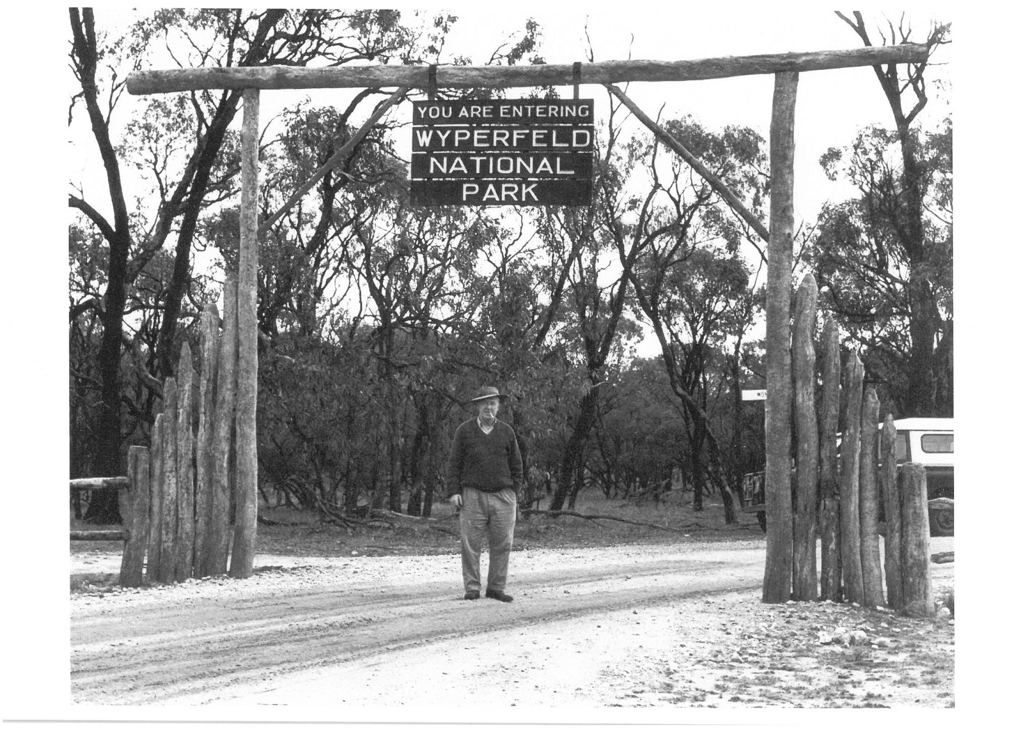
The gateway above was erected in 1960. The suspended park entrance sign was removed in 1970 to permit buses to pass through. The entire gateway was eventually demolished. (Durham 20001)
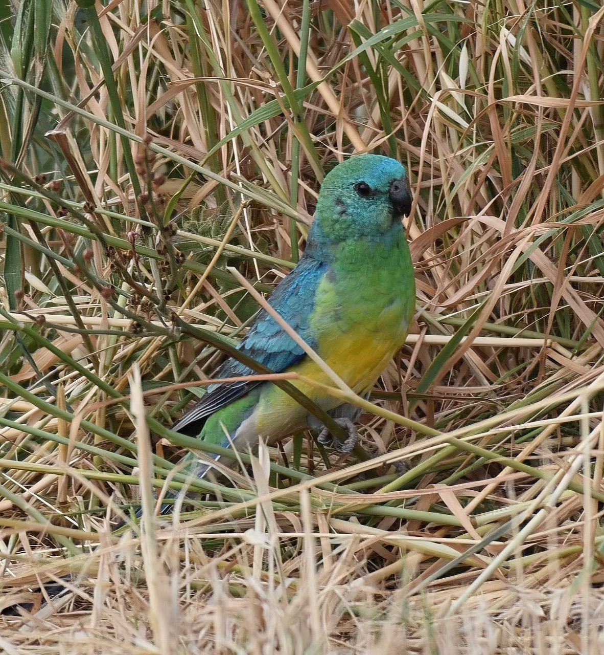
Wyperfeld National Park is home to a large variety of native birds, mammals, and reptiles. Reptiles located in the park include Sand Goana, Central Bearded Dragon, and Southern Spiny-tailed Gecko. Native mammals include the Short-beaked echidna, Fat-tailed Dunnart, Little Pygmy Possum, and Mitchell’s Hopping-mouse. Birds include Emu, Red-capped Robin, Malleefowl, Mulga parrot, Major Mitchell Cockatoo, Regent parrot, and Yellow-plumed Honeyeater. (Durham 2001)
I found the video below on YouTube, which features Rudd Campbell. The video was produced in 1965 to promote the Wyperfeld National Park.
Another excellent video can be found below. It was created by Friends of Wyperfeld.
Marija and I ran our normal portable operating setup for this activation, consisting of the Yaesu FT857, 40 watts, and the 20/40/80m linked dipole.
It seemed to be a little quieter this year for the KRMNPA Weekend. Despite this, we still logged several Park-to-Park contacts.
Marija worked the following stations on 40m SSB:-
VK3MCK
VK2VW
VK2HFI
VK2AKA
VK2BUG
VK3PF
VK3KAI
VK2EXA
VK1CHW
VK2CHW
VK3CLD
VK5QA
VK2DBF
VK2IO/P (VKFF-2005)
VK2GEZ/P (VKFF-2005)
VK5AAF
VK2DA
VK1DA
VK4NH
VK4DXA
VK1OZ
VK2OZI
VK1PW
VK2APW
VK3GJG
VK3ZSC
VK2PKT
VK2KFT
VK5AYL
VK5HS/P (VKFF-0373)
VK1AC
VK2COS
VK1DI
VK5GY
VK5CS
VK2USH
VK3KRL
VK3FARW
VK3DAC
VK3WI/P (VKFF-0728)
VK2YAK
VK4YAK
VK5BL
VK5AKL
VK7DIK
VK3SX
VK3HBG
VK3ZPF/P (VKFF-0420)
VK3JW/P (VKFF-0420)
VK3PJF/P (VKFF-0420)
VK3CEO
Marija worked the following stations on 20m SSB:-
VK2IO/P (VKFF-2005)
VK2GEZ/P (VKFF-2005)
VK2VW
VK2HFI
VK2AKA
VK2BUG
VK4SMA
VK2MWD
VK2NP
VK4EMP
VK4TI
VK4GKO
I worked the following stations on 40m SSB:-
VK3MCK
VK2VW
VK2HFI
VK2AKA
VK2BUG
VK3PF
VK3KAI
VK2EXA
VK1CHW
VK2CHW
VK3CLD
VK5QA
VK2DBF
VK2IO/P (VKFF-2005)
VK2GEZ/P (VKFF-2005)
VK5AAF
VK2DA
VK1DA
VK4NH
VK4DXA
VK1OZ
VK2OZI
VK1PW
VK2APW
VK3GJG
VK3ZSC
VK2PKT
VK2KFT
VK5AYL
VK5HS/P (VKFF-0373)
VK1AC
VK2COS
VK1DI
VK5GY
VK5CS
VK2USH
VK3KRL
VK3FARW
VK3DAC
VK3WI/P (VKFF-0728)
VK2YAK
VK4YAK
VK5BL
VK5AKL
VK7DIK
VK3SX
VK3HBG
VK3ZPF/P (VKFF-0420)
VK3JW/P (VKFF-0420)
VK3PJF/P (VKFF-0420)
VK3CEO
I worked the following stations on 20m SSB:-
VK2IO/P (VKFF-2005)
VK2GEZ/P (VKFF-2005)
VK2VW
VK2HFI
VK2AKA
VK2BUG
VK4SMA
VK2MWD
VK2NP
VK4EMP
VK4TI
VK4GKO
References.
ancestry (2016). Ancestry® | Genealogy, Family Trees & Family History Records. [online] Ancestry.com.au. Available at: https://www.ancestry.com.au/. [Accessed 19 Apr. 2026]
Eoas.info. (2018). Howe, Frank Ernest – Person – Encyclopedia of Australian Science and Innovation. [online] Available at: https://www.eoas.info/biogs/P003153b.htm [Accessed 20 Apr. 2026].
Trove. (2026). MALLEE NATIONAL PARK – ITS HISTORY AND VALUE – The Argus (Melbourne, Vic. : 1848 – 1957) – 17 Nov 1934. [online] Available at: https://trove.nla.gov.au/newspaper/article/10994359 [Accessed 19 Apr. 2026].
Wikipedia Contributors (2026). Wyperfeld National Park. Wikipedia.
Wikipedia Contributors (2025). Arthur Mattingley. Wikipedia.