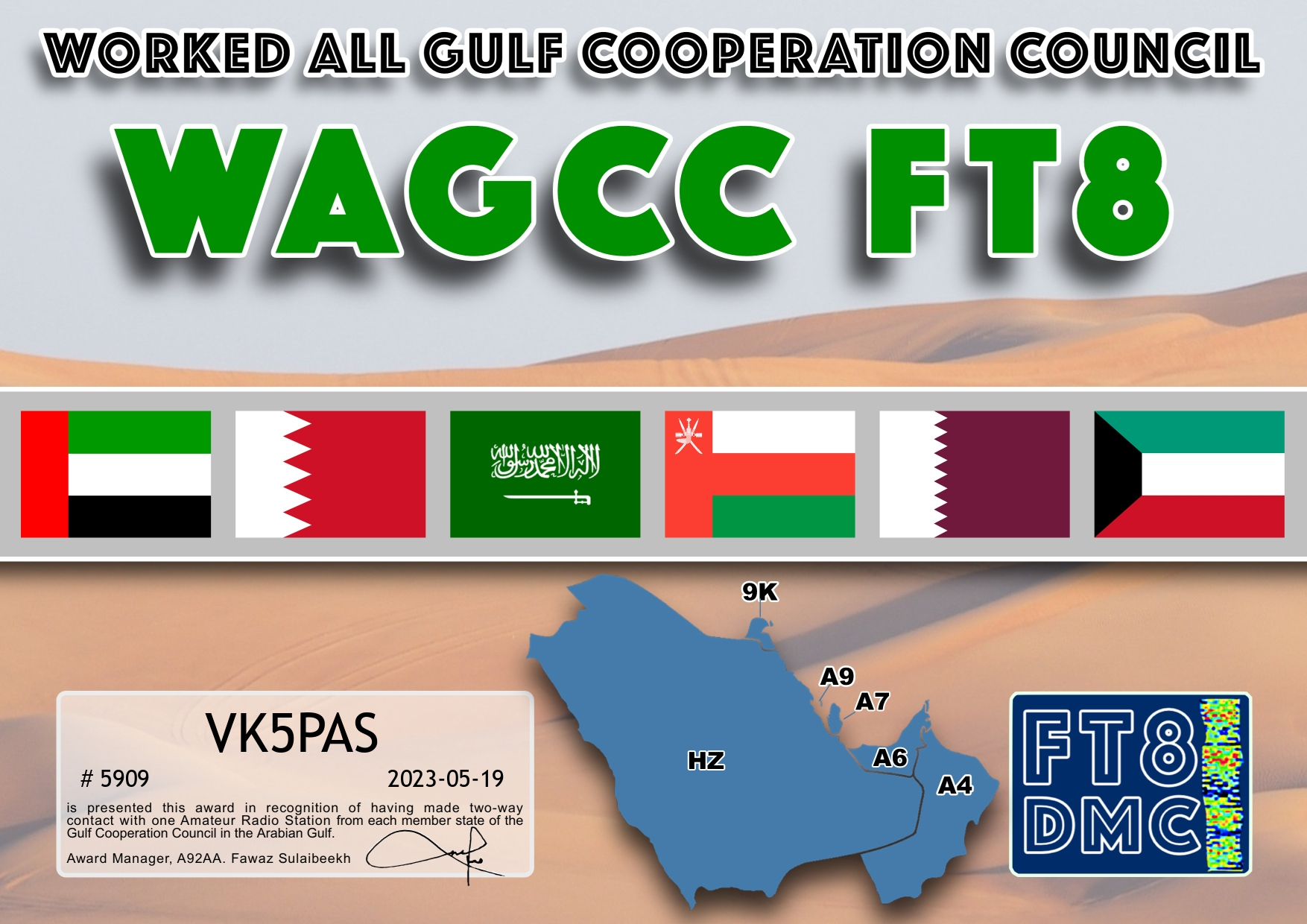
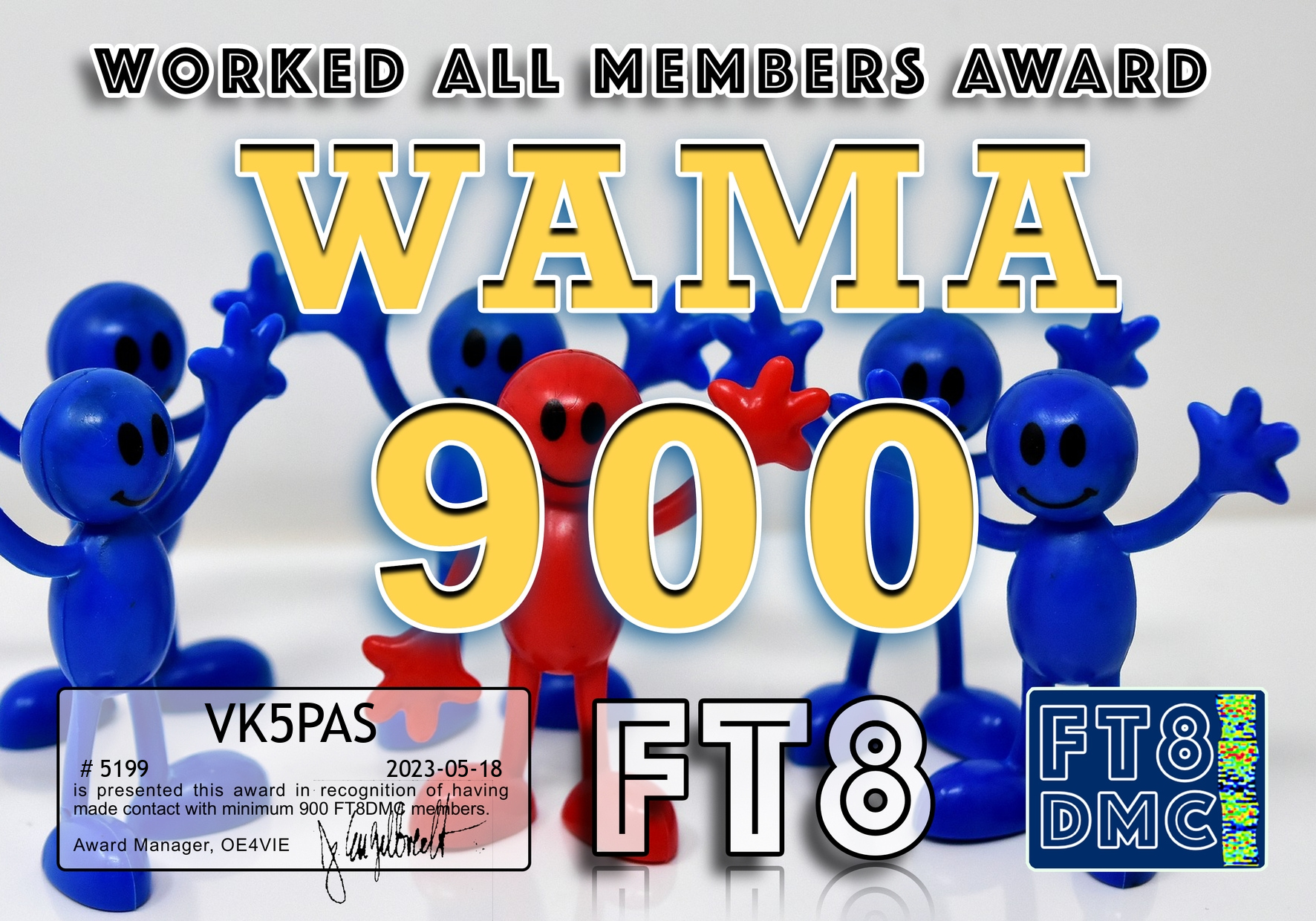
I received some more FT8 award certificates today.

I received some more FT8 award certificates today.
Some more FT8 award certificates.
Thank you to all of the FT8 operators and the Award Managers.
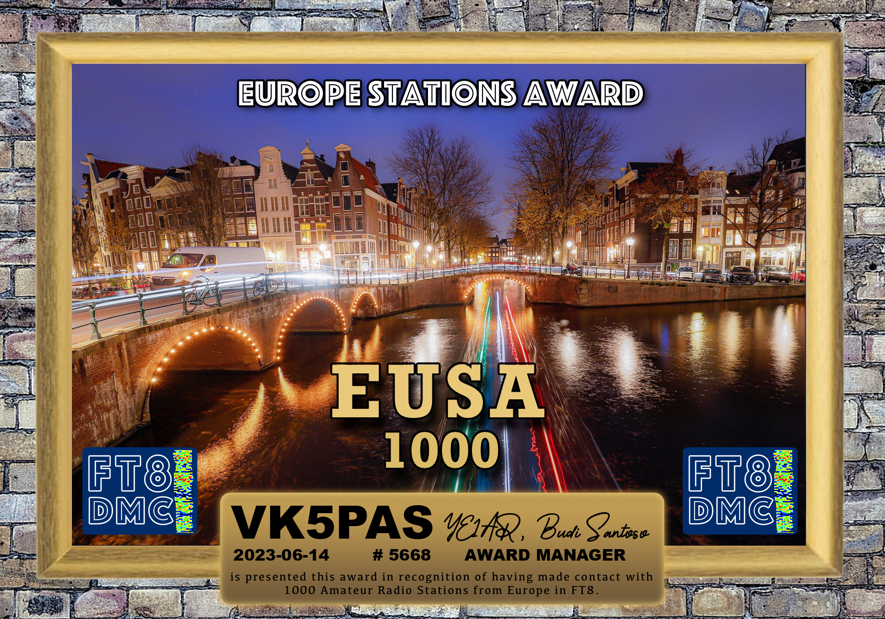
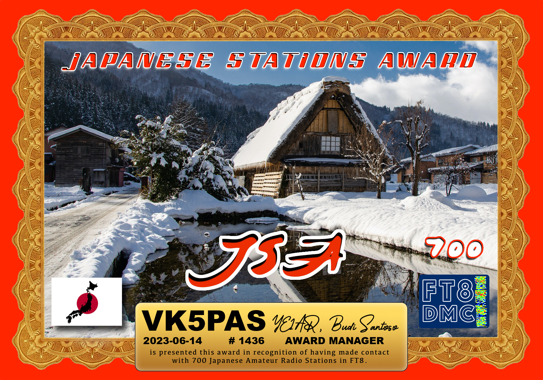
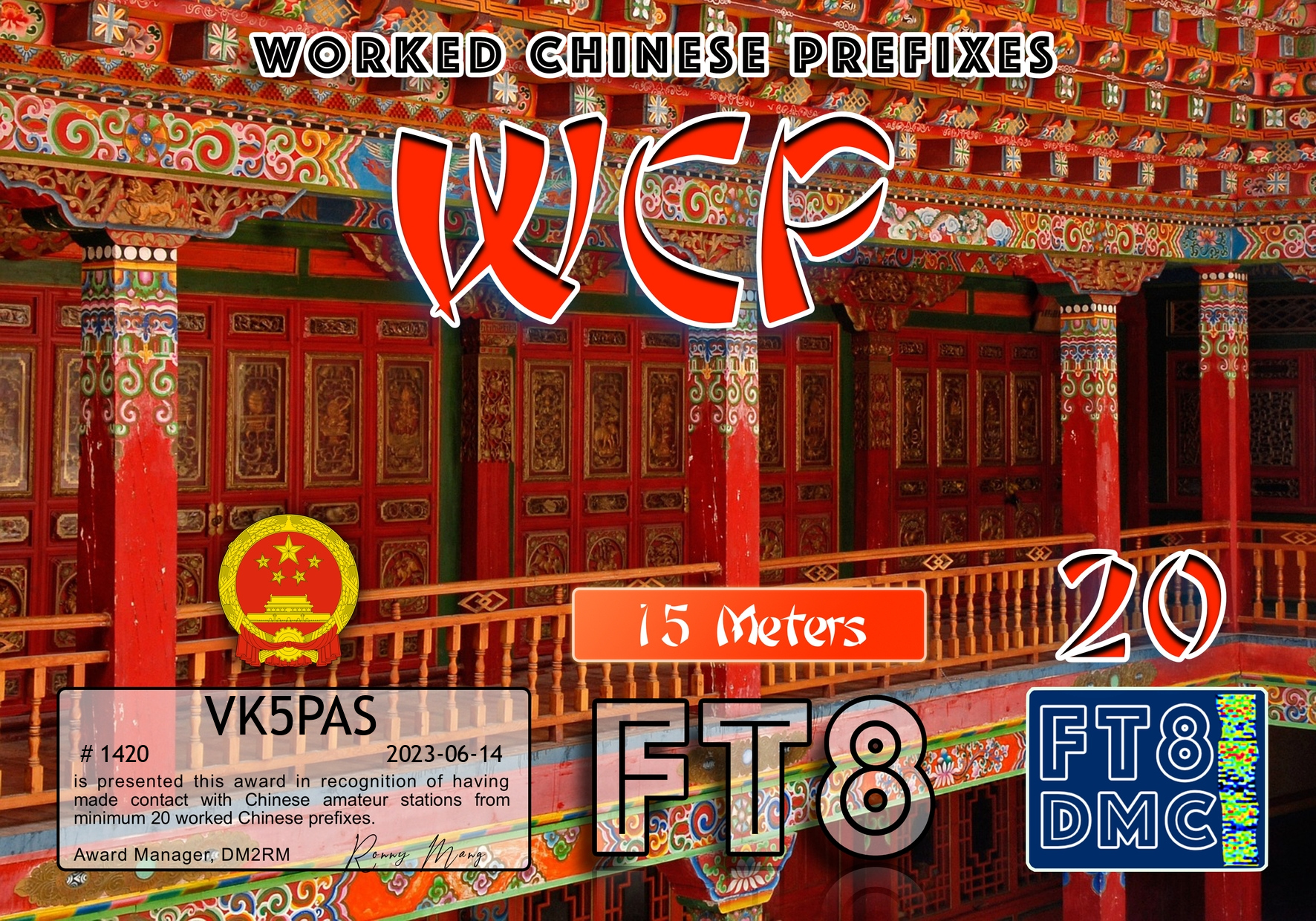
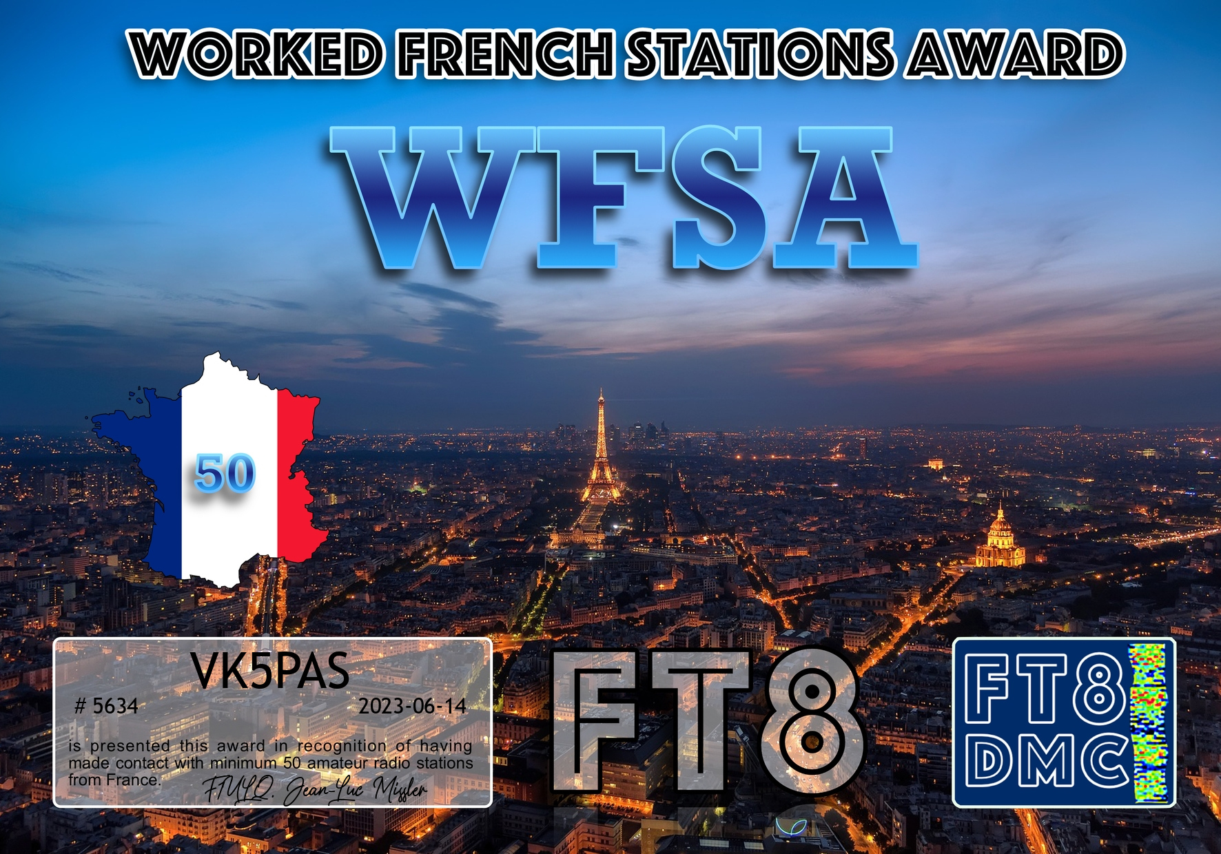
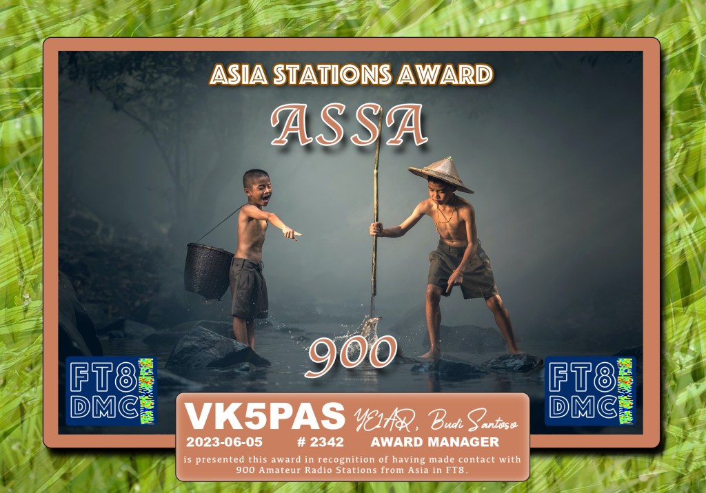
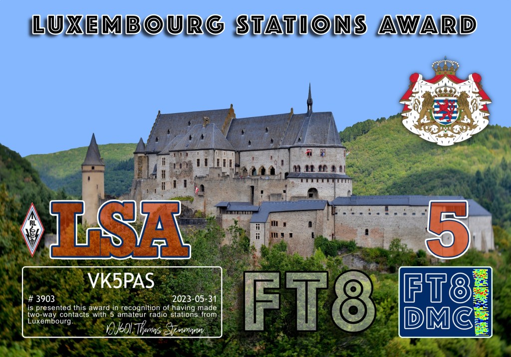
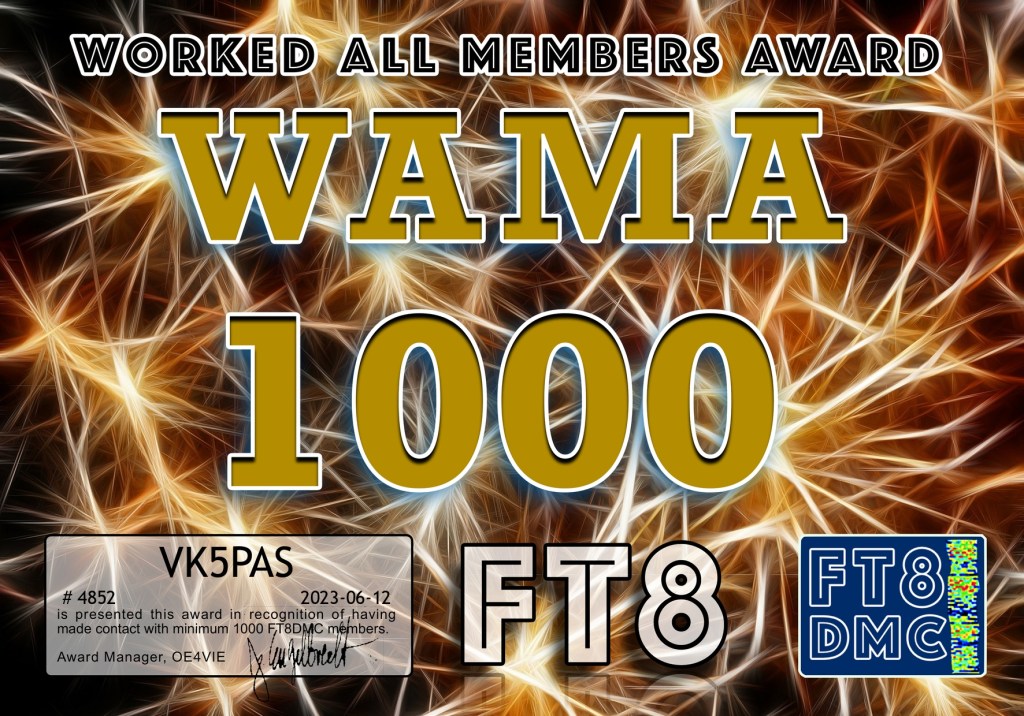
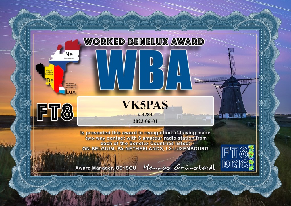
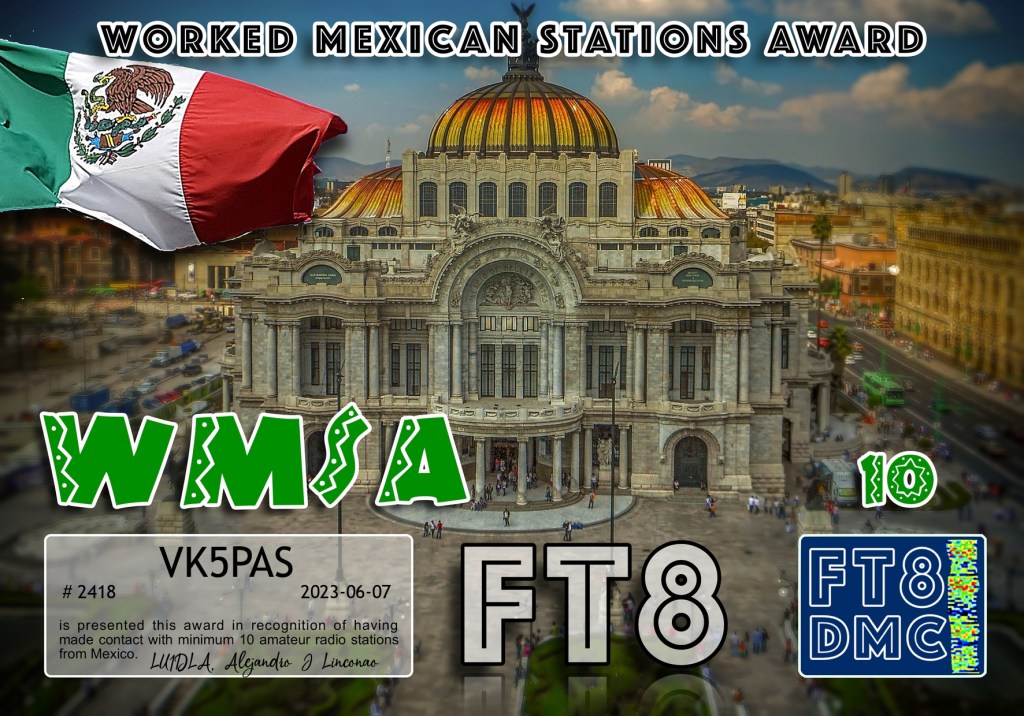
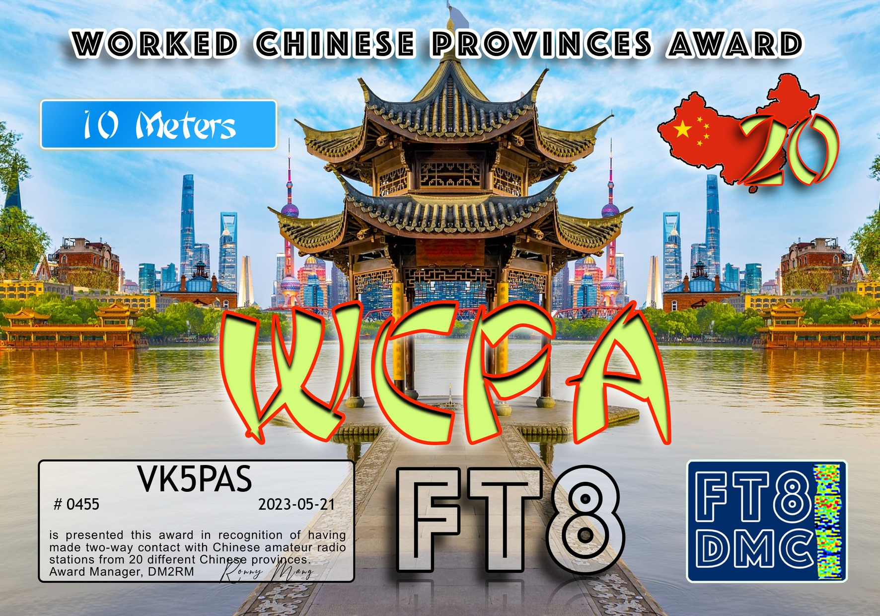
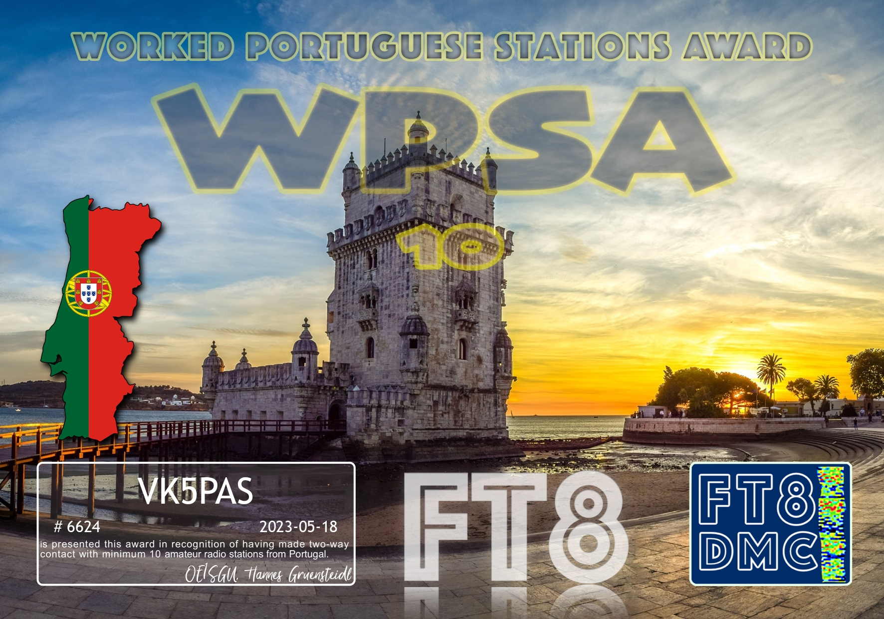
Here are my latest FT8 award certificates.
Thank you to all of the FT8 operators and thank you to the Award Managers.

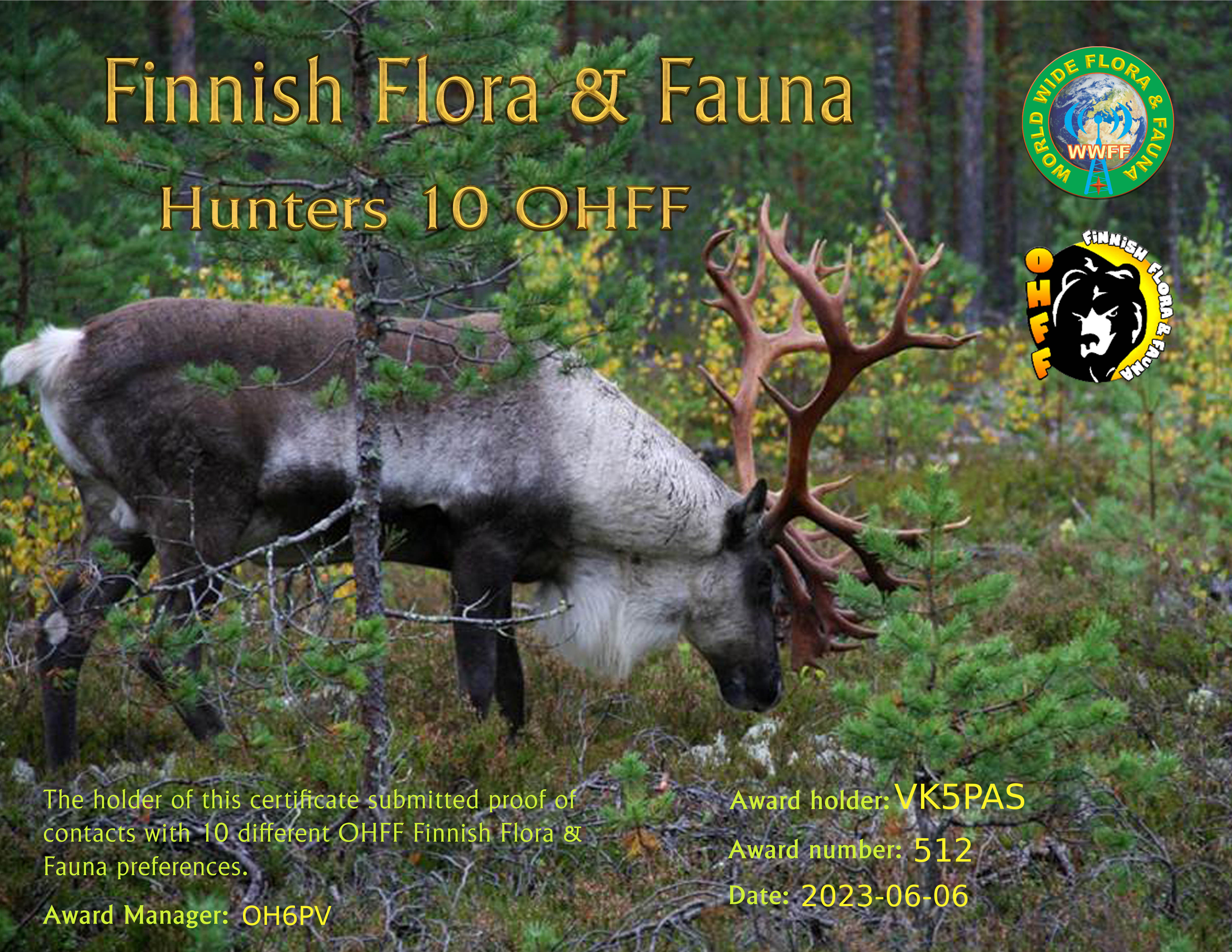
Yesterday in my email inbox I found the following certificate – OHFF Hunter 10.
It is issued for making contact with 10 different Finnish Flora & Fauna references in the World Wide Flora & Fauna (WWFF) program.
Thanks to the OHFF activators and thank you to the awards manager.
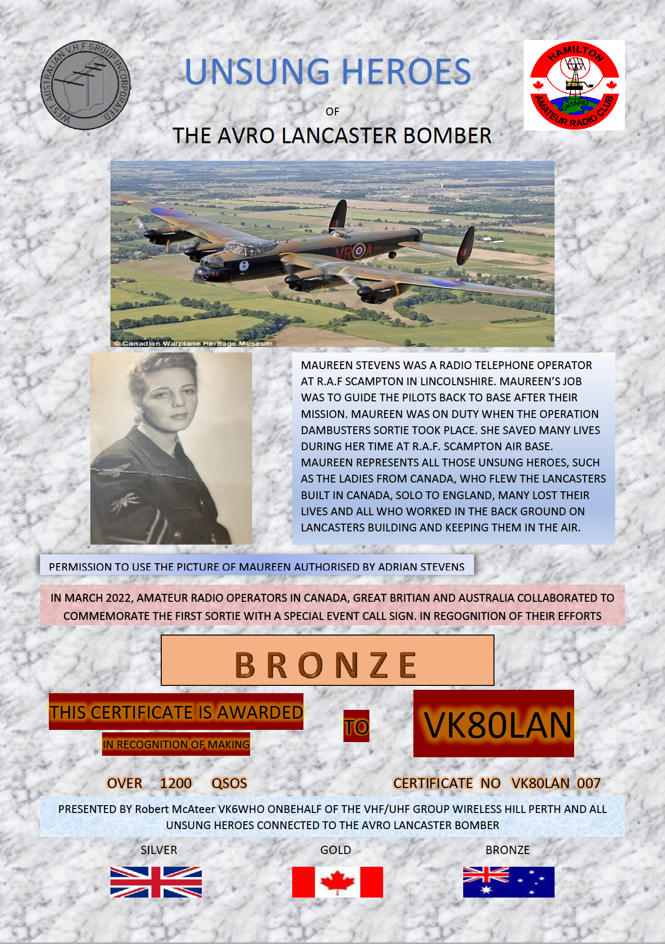
Marija VK5MAZ and I received this very nice certificate via Robert VK6WHO for our participation in the VK80LAN Avro Lancaster special event.
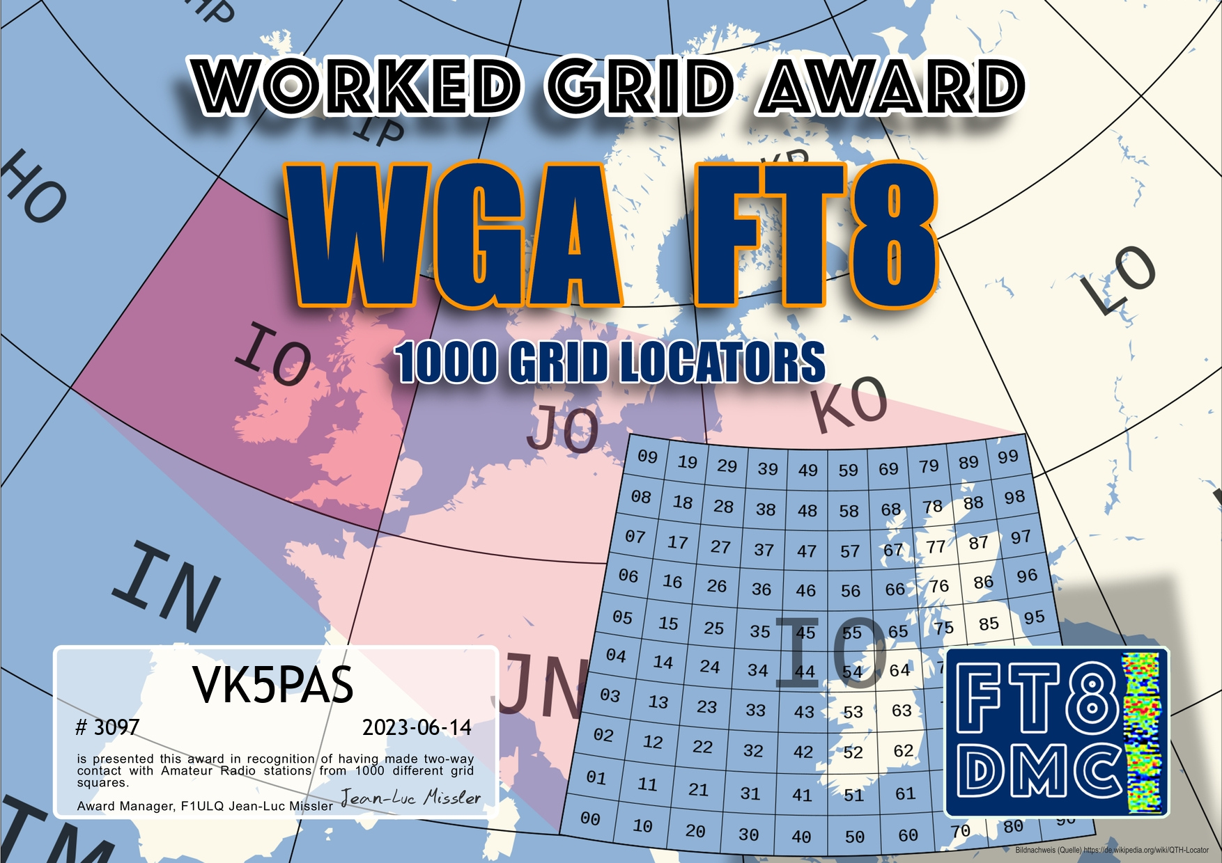
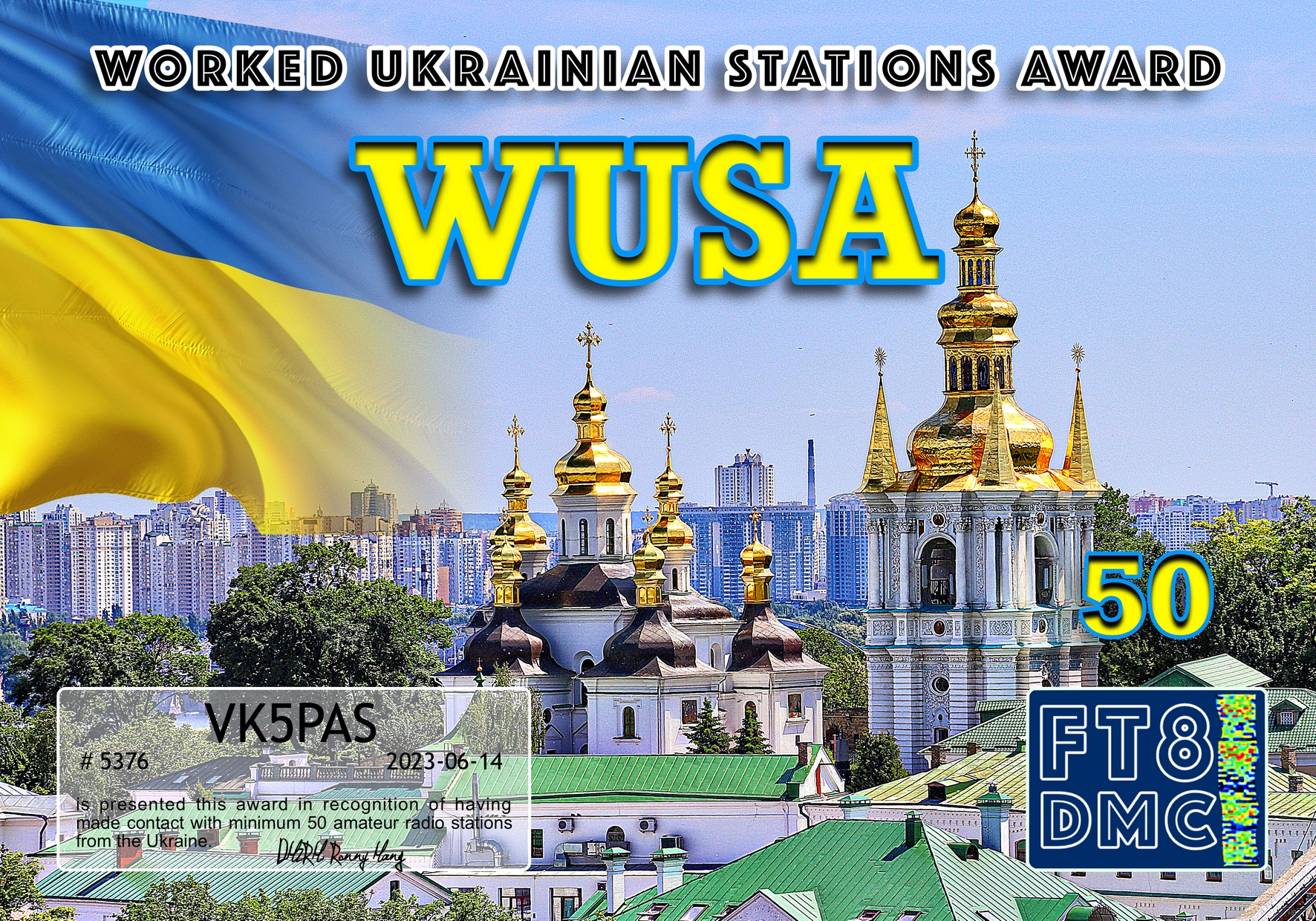
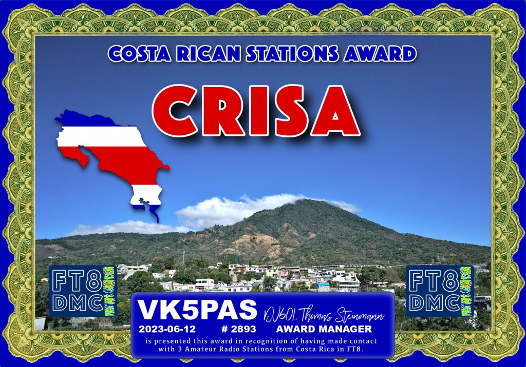
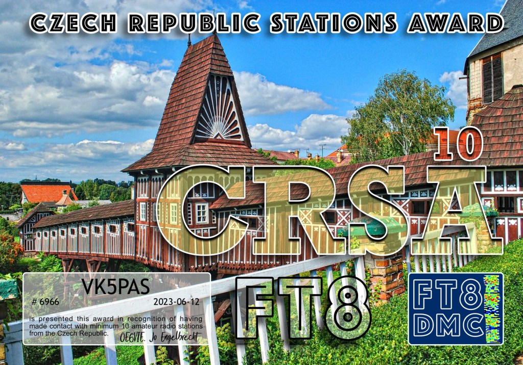
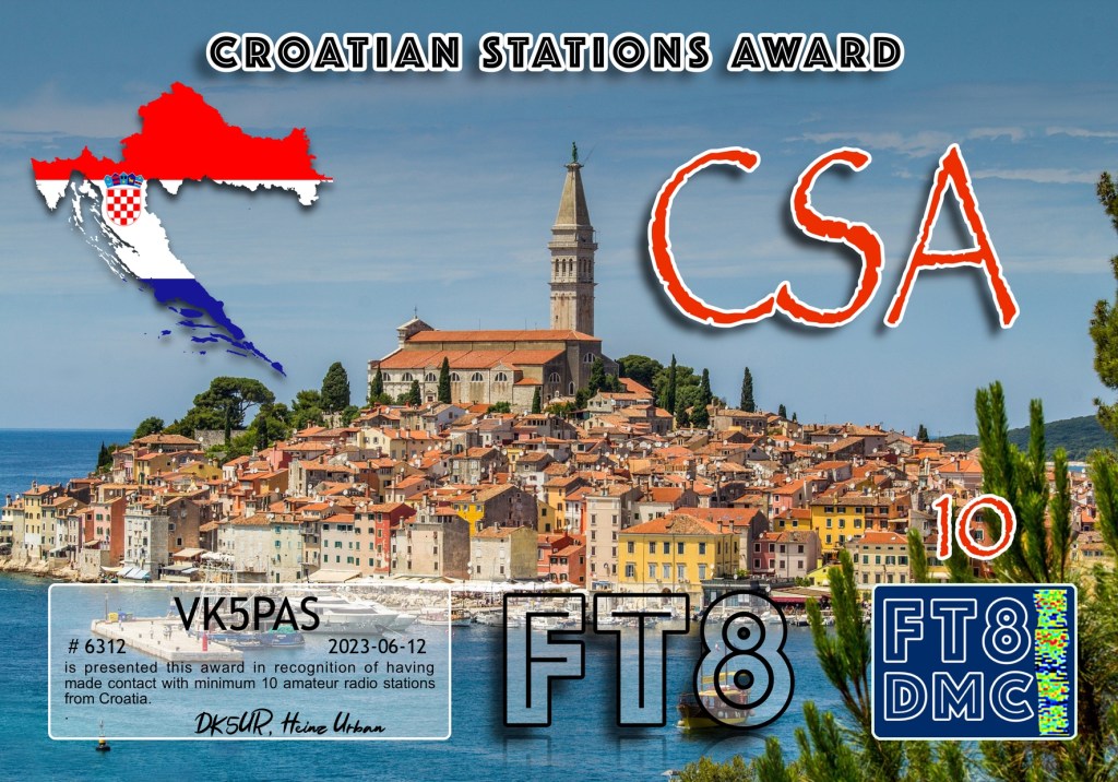
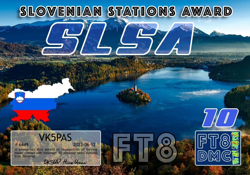
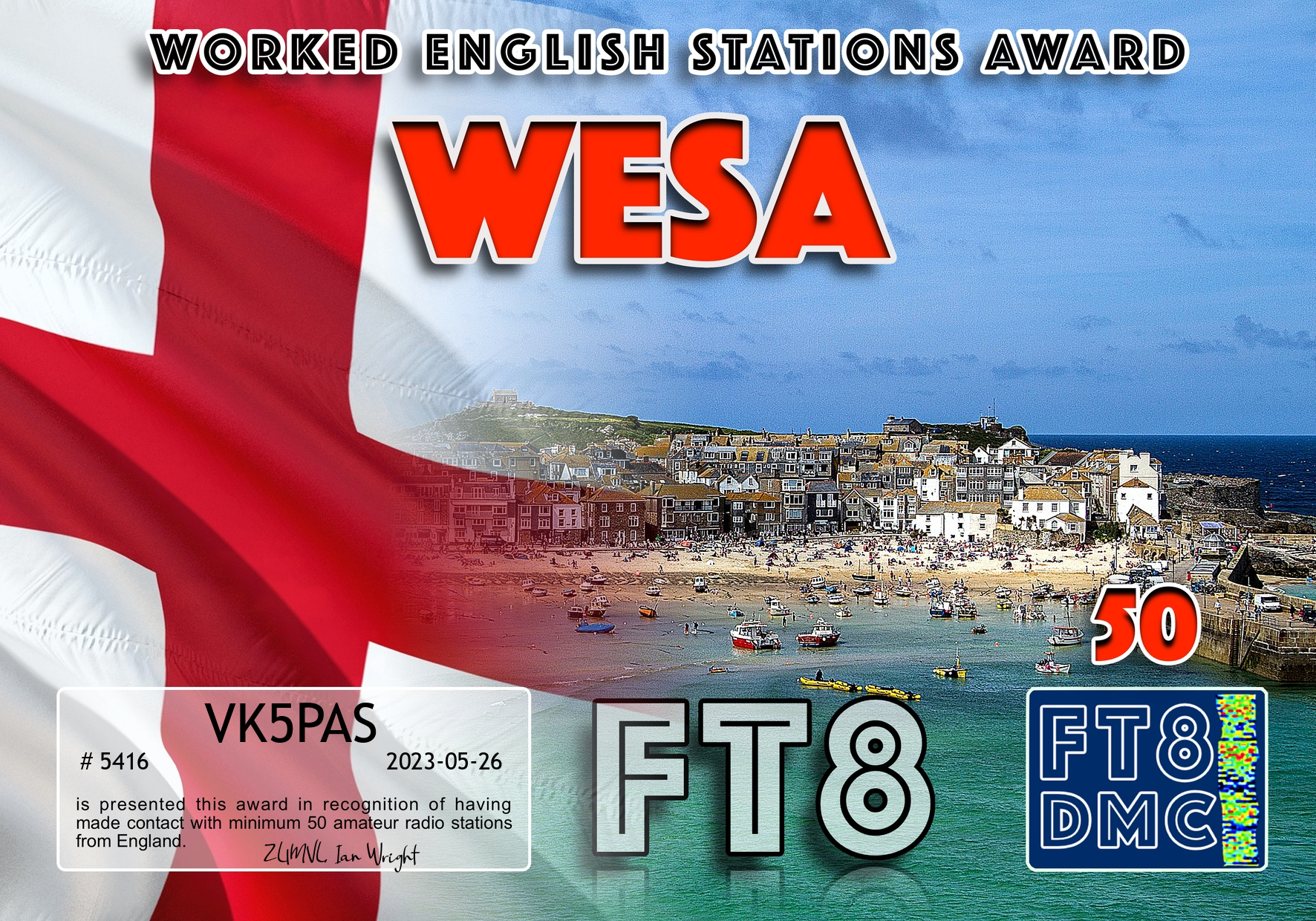
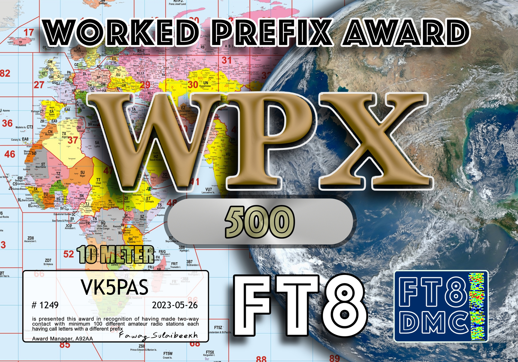
A few more FT8 award certificates.
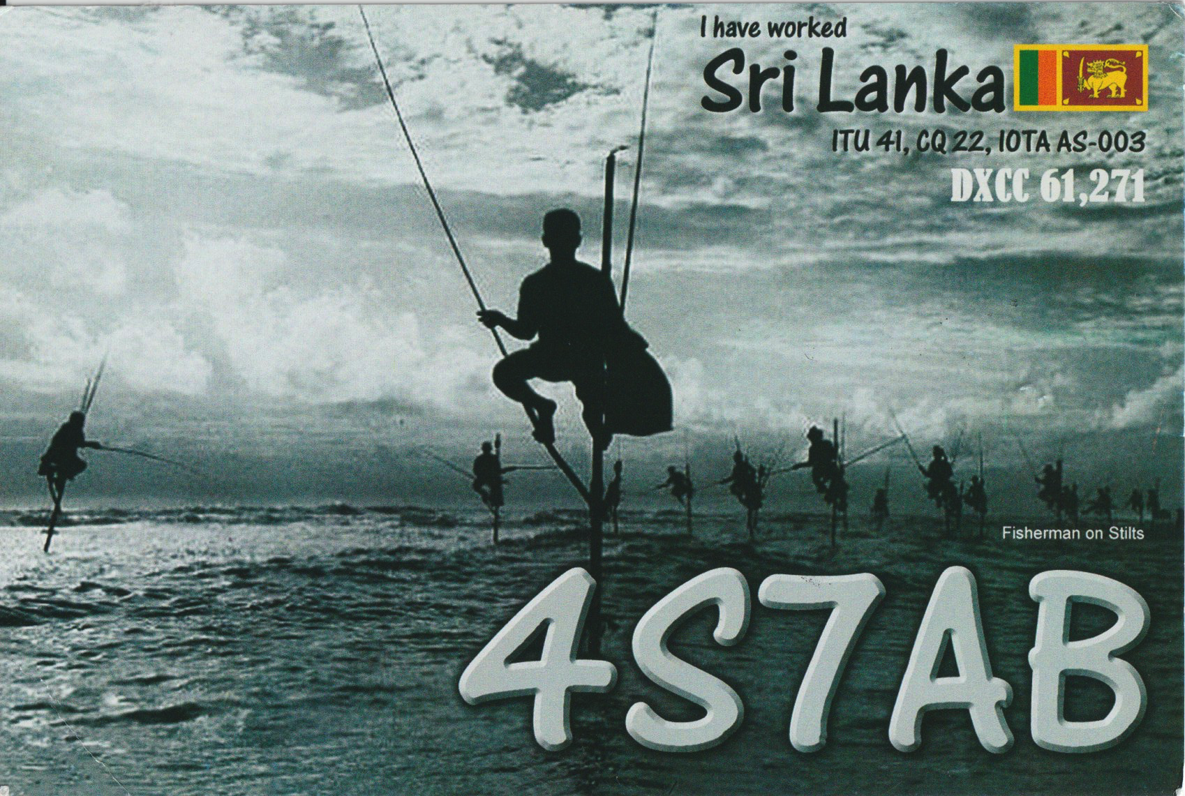
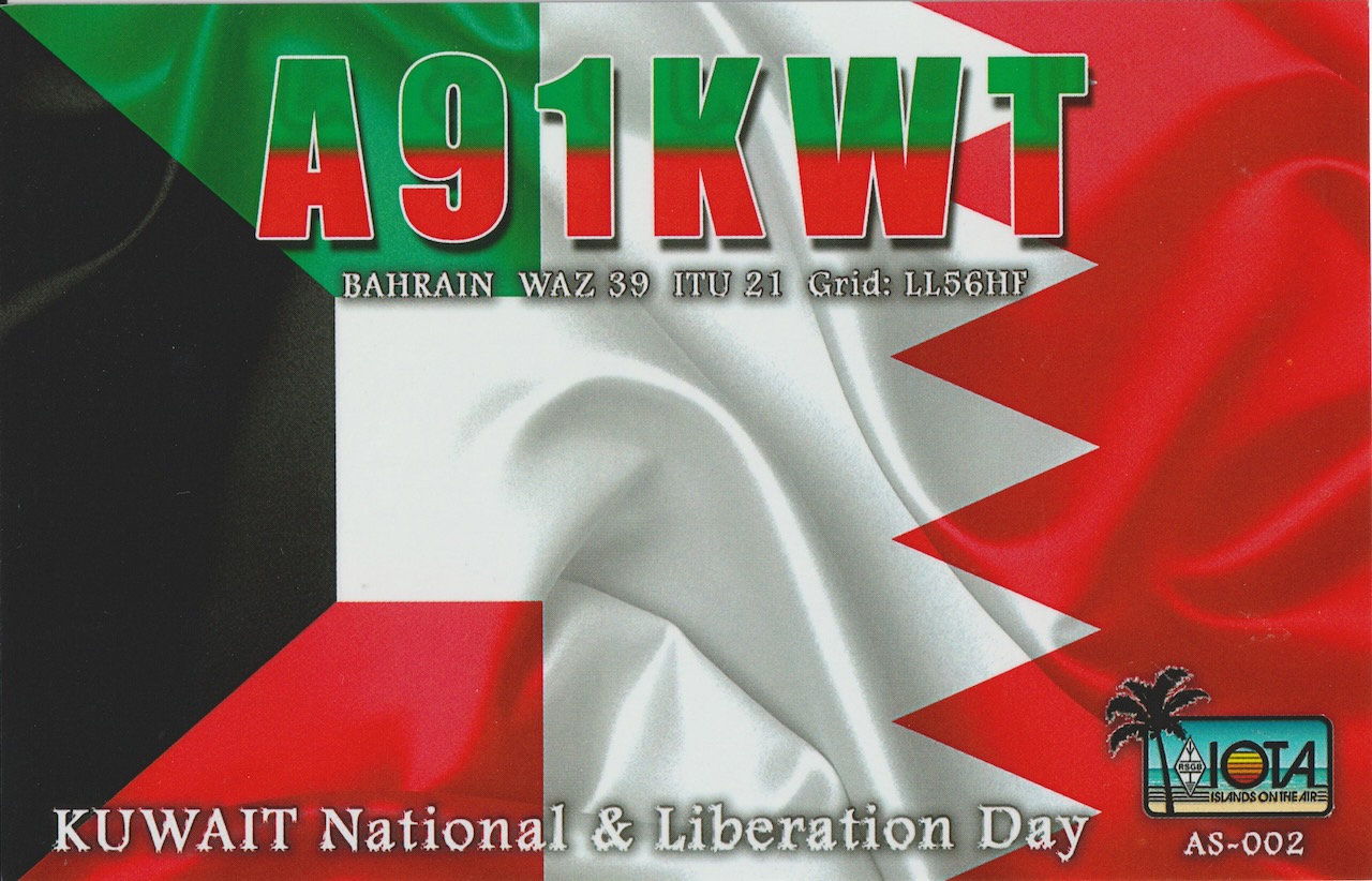
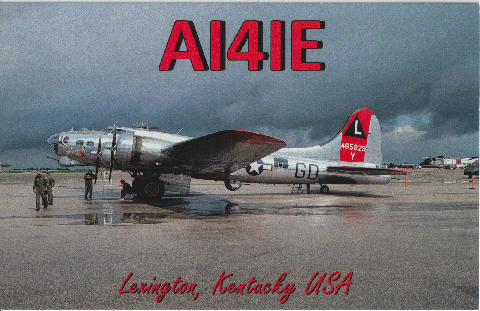
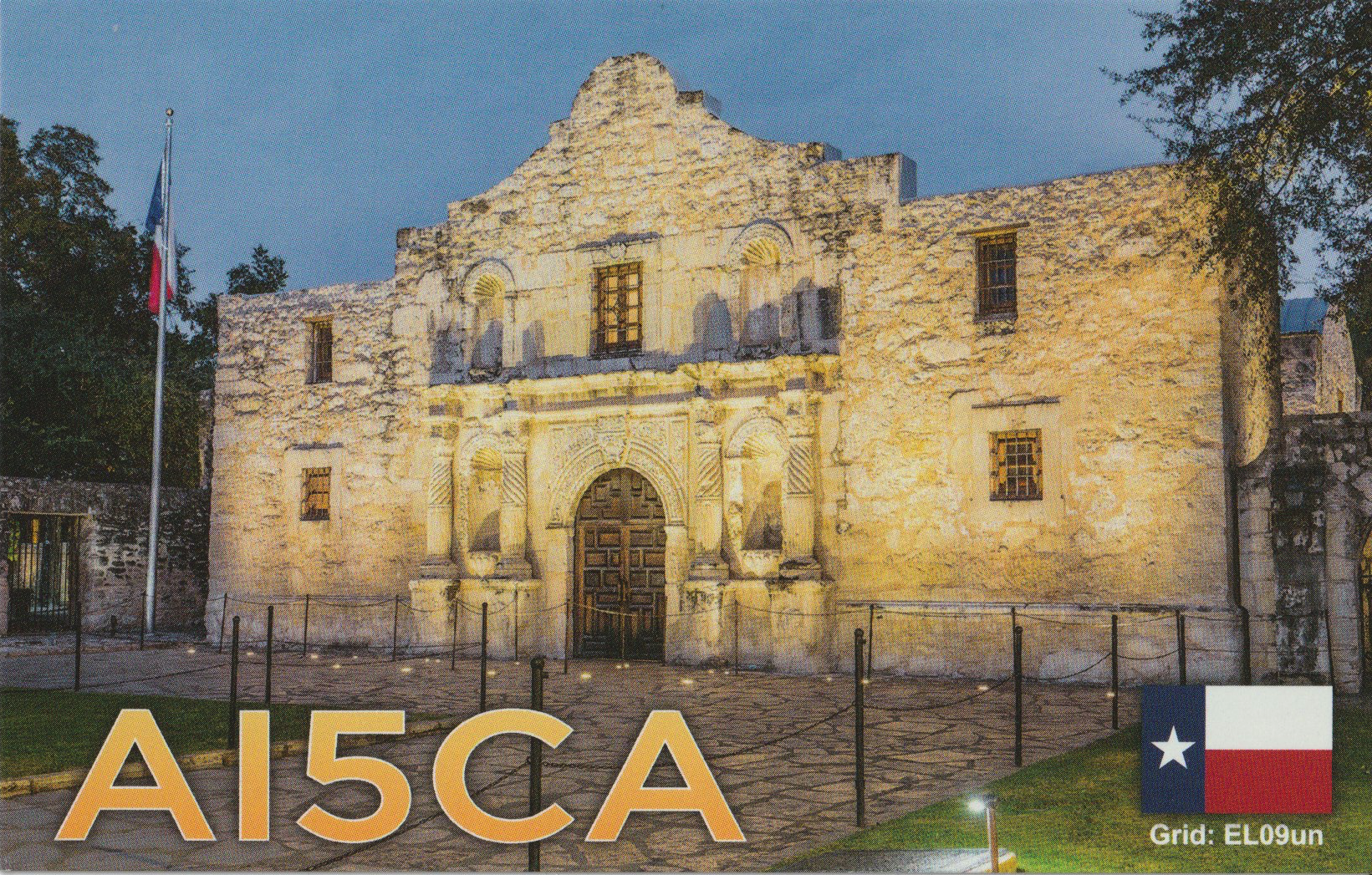
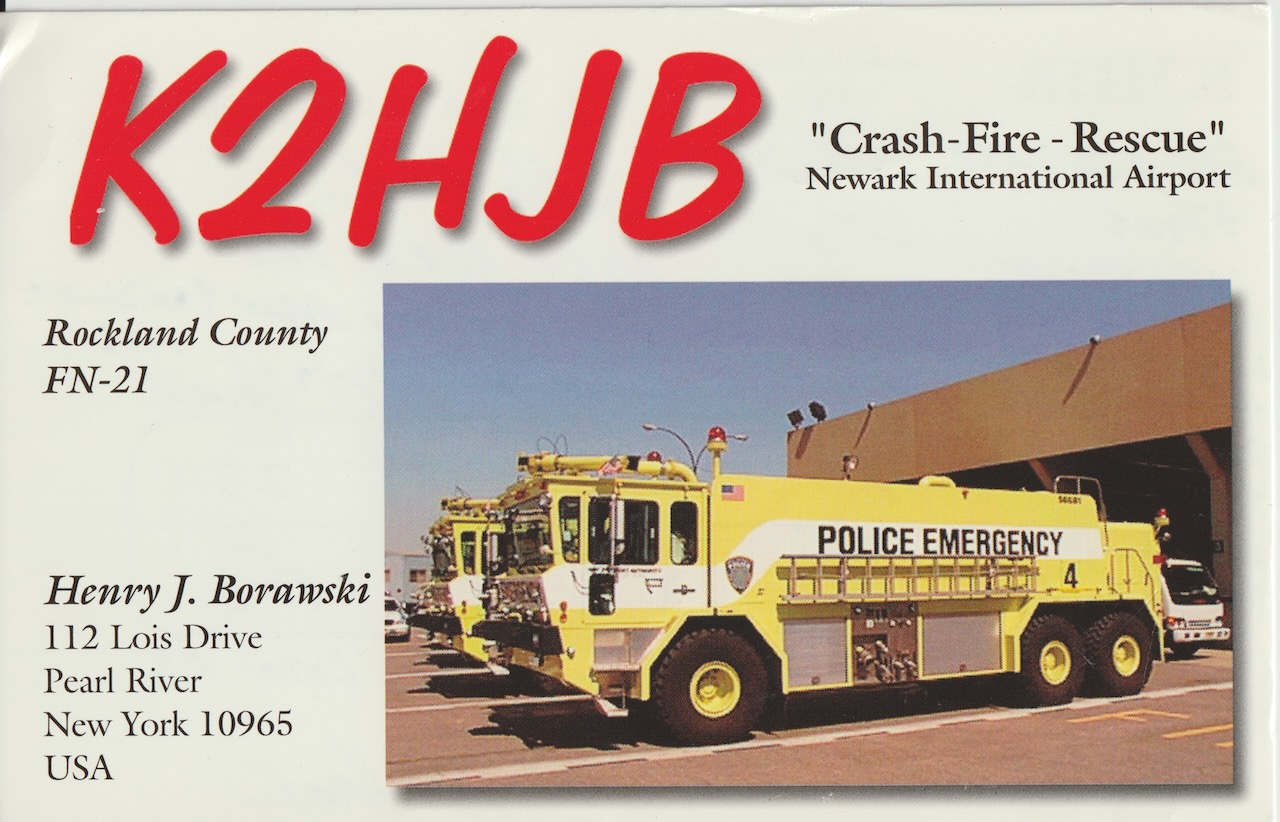
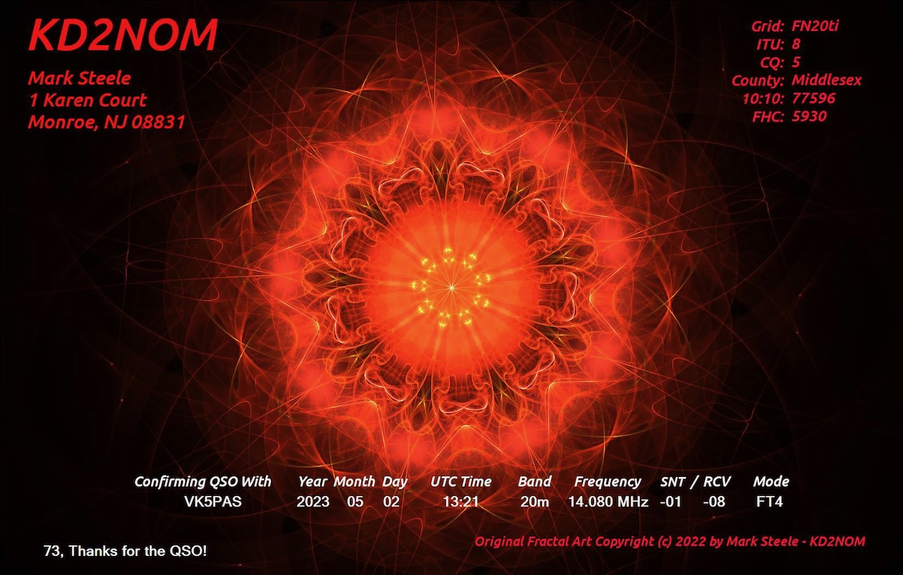
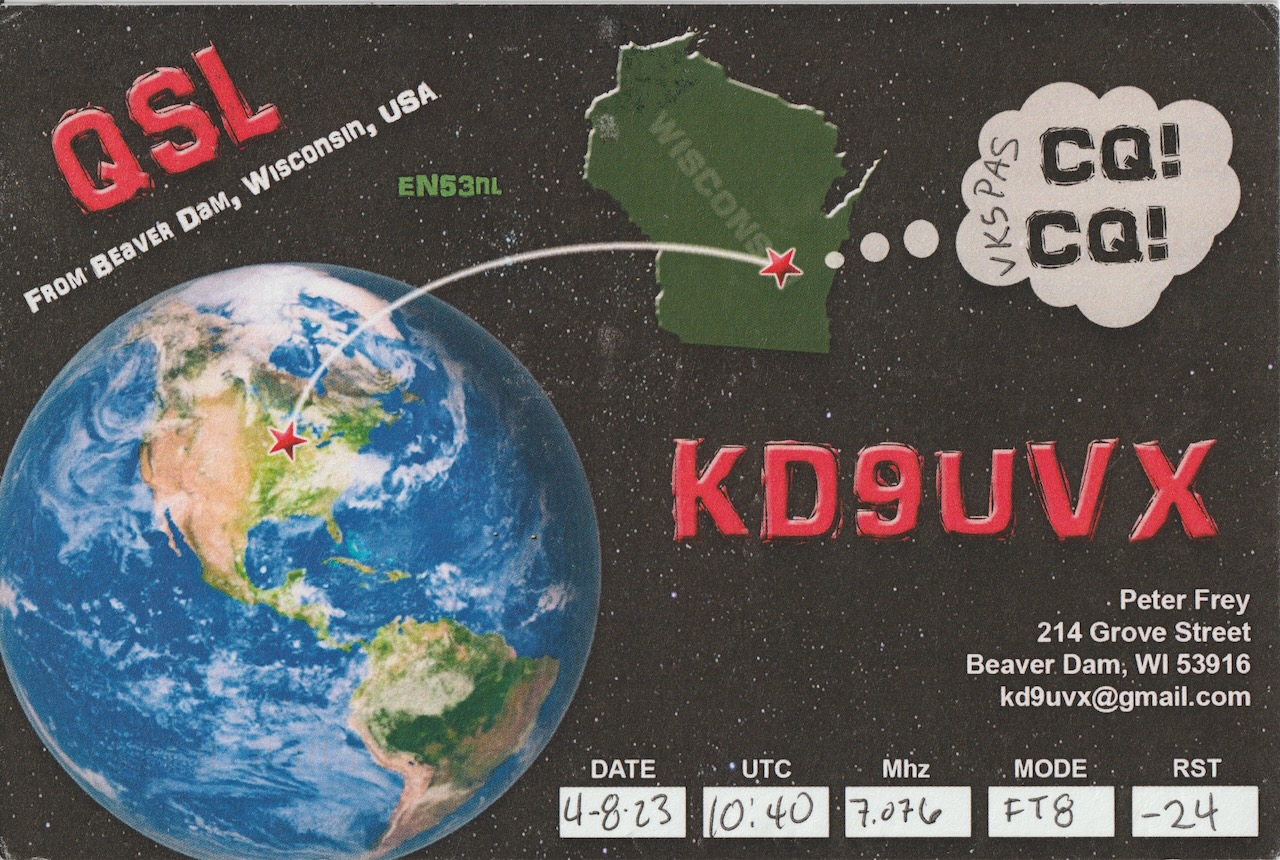
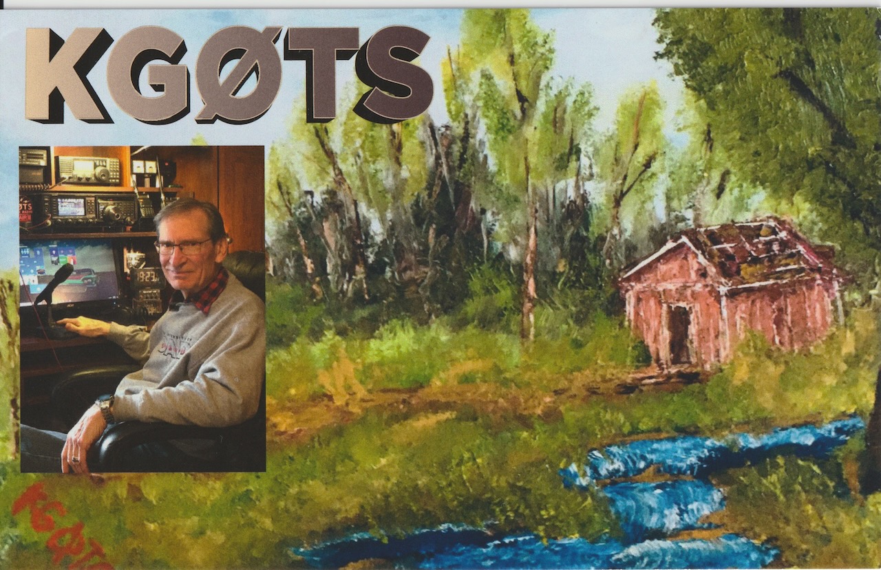
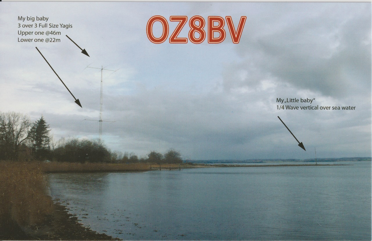
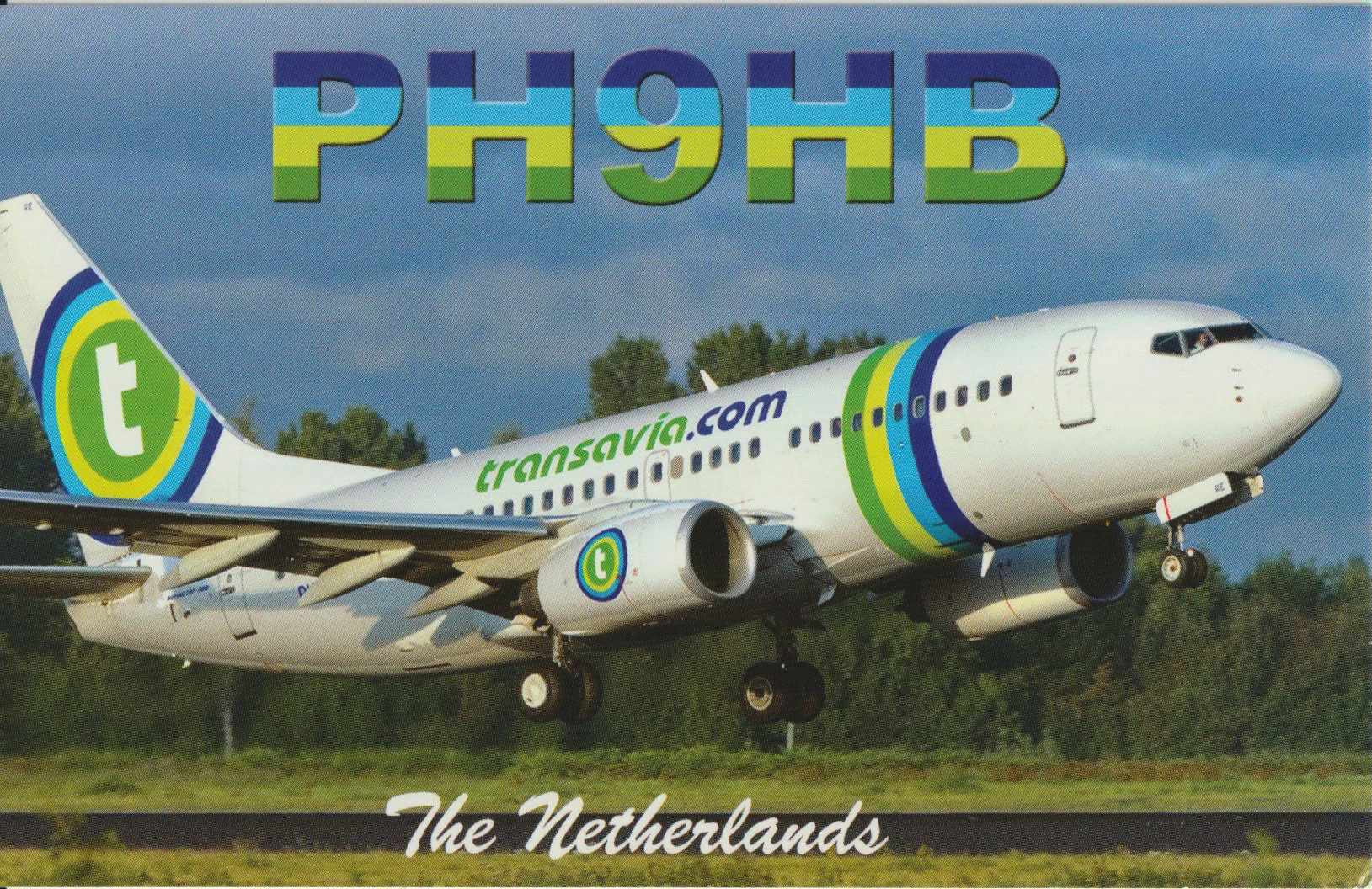
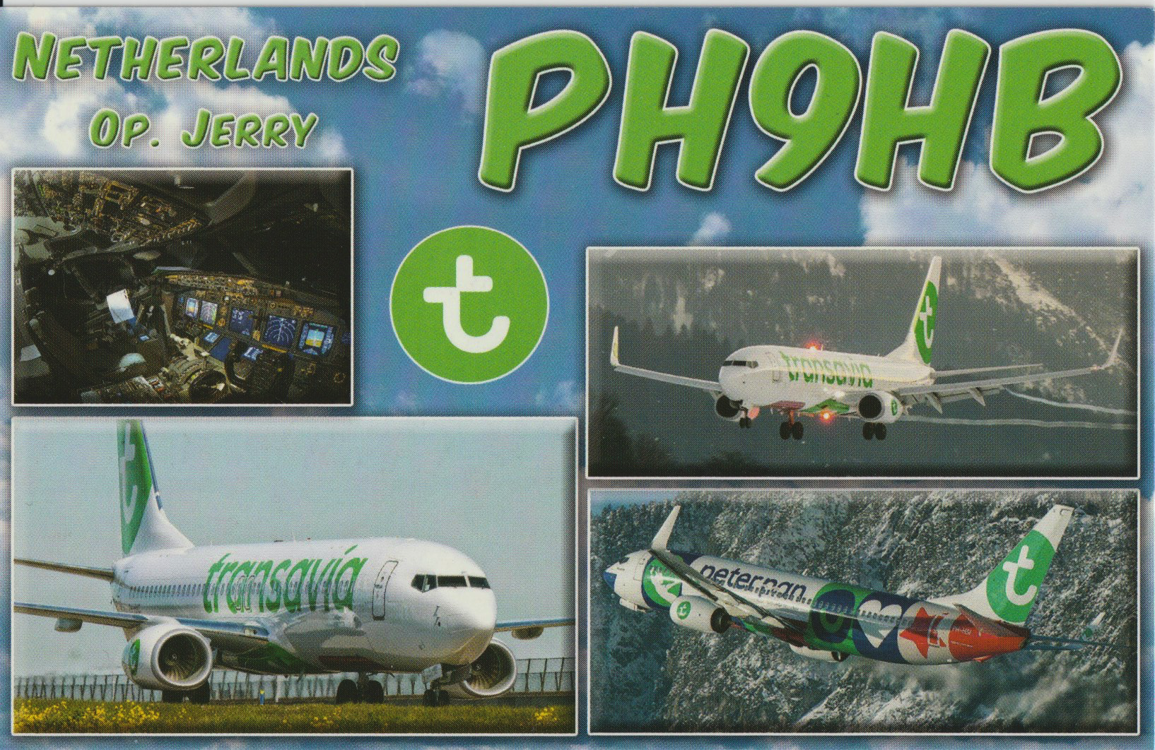
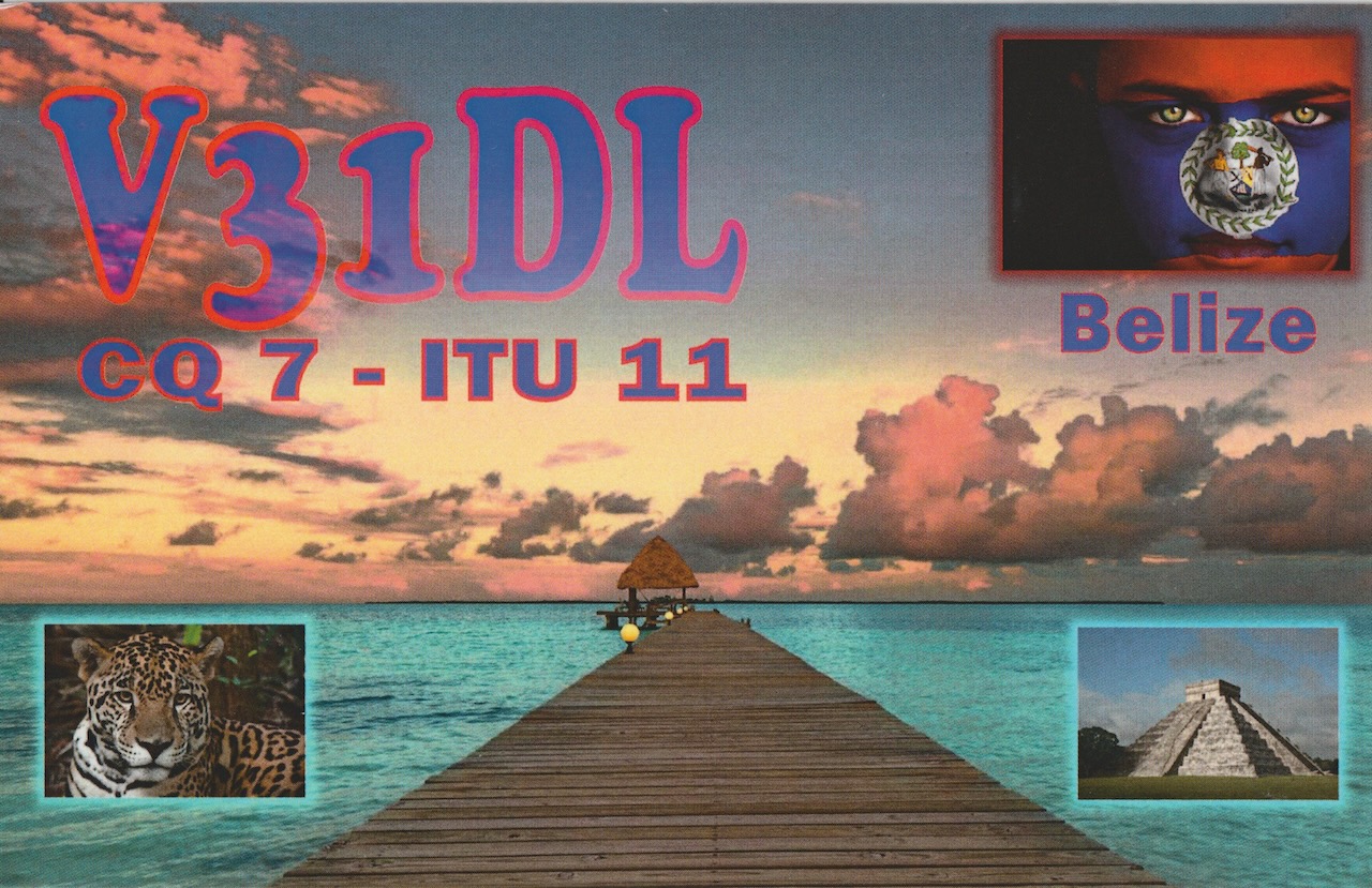
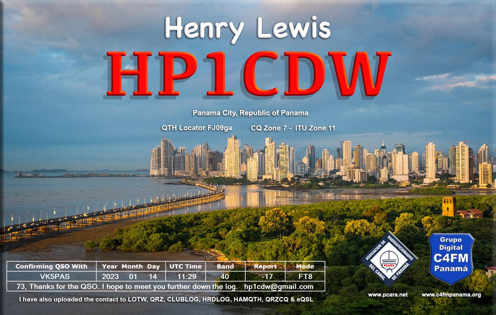
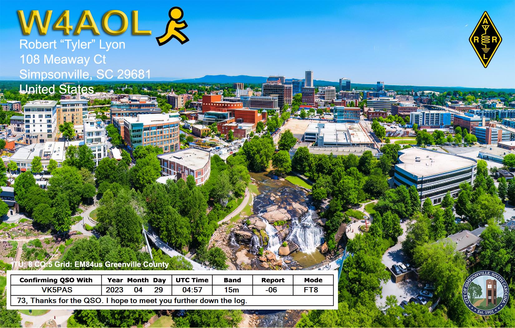
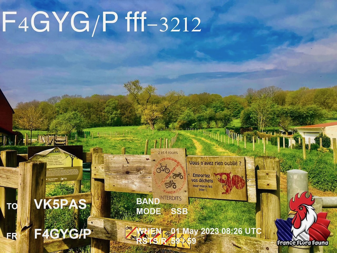
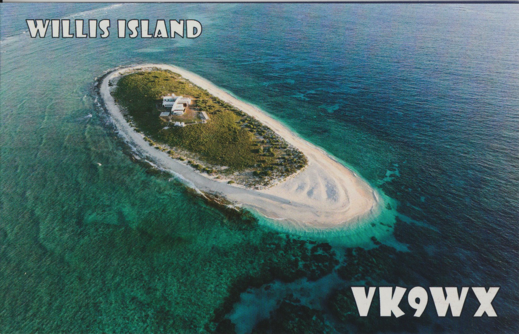
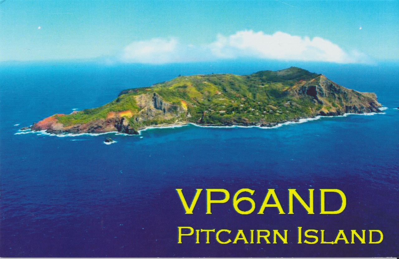
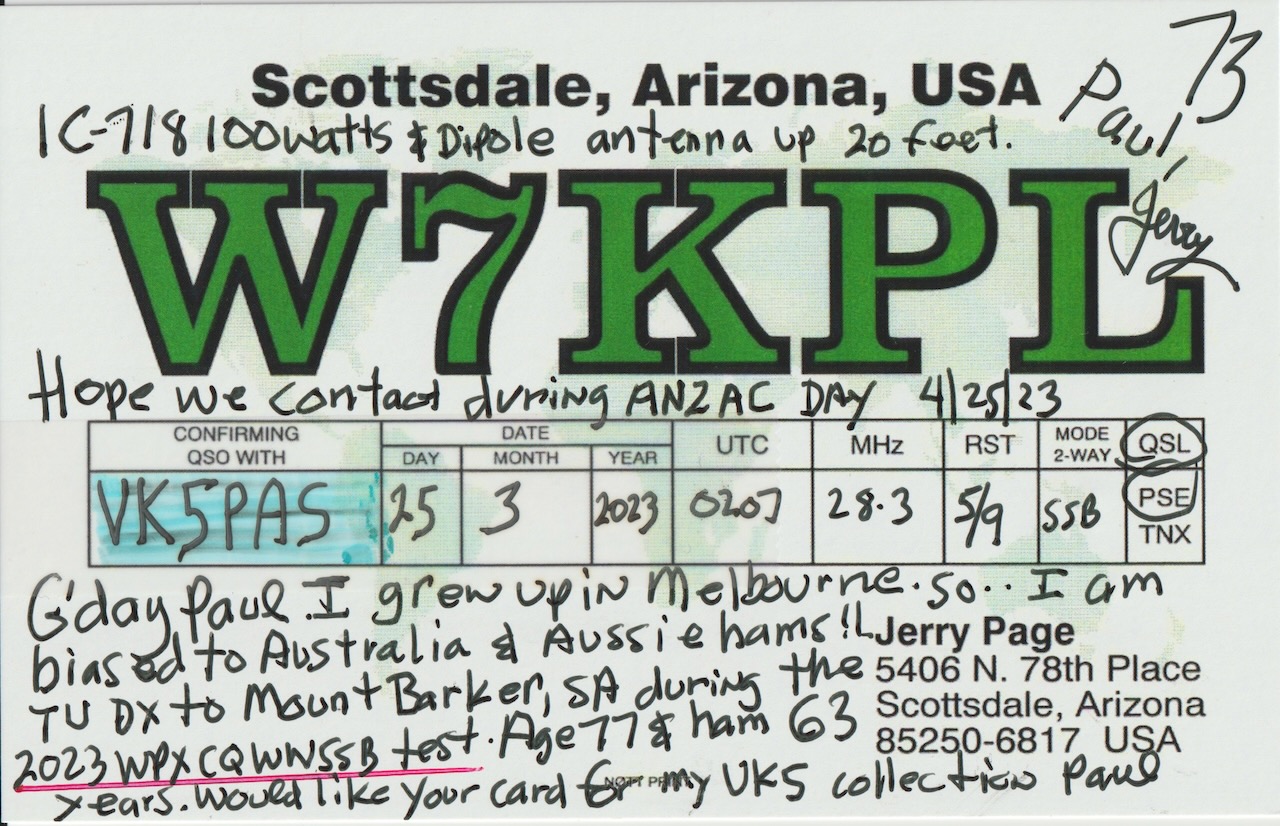
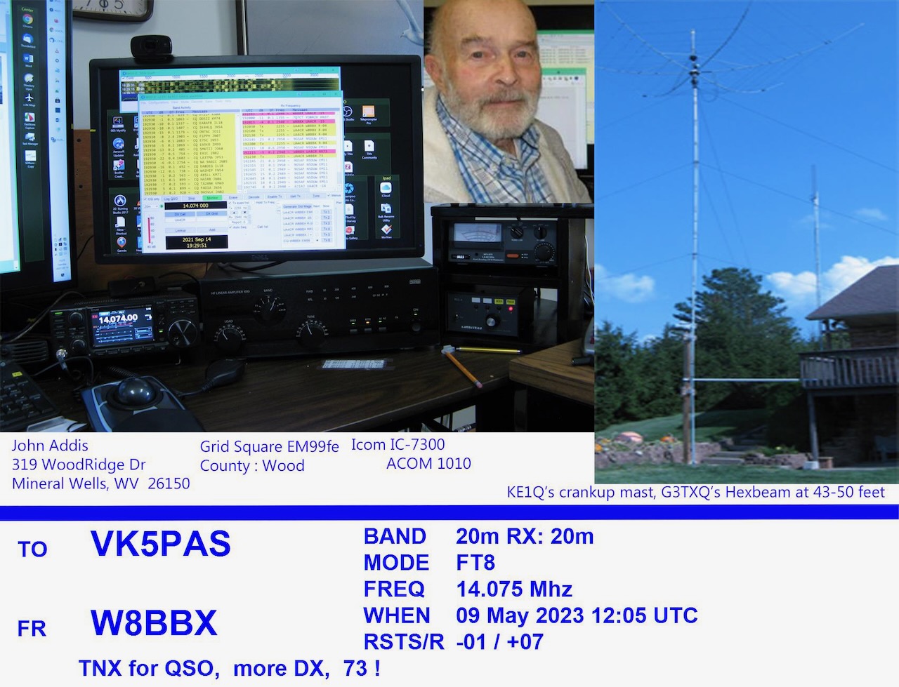
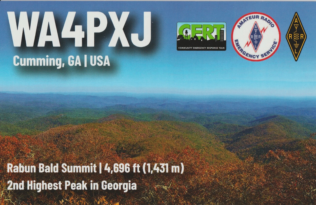
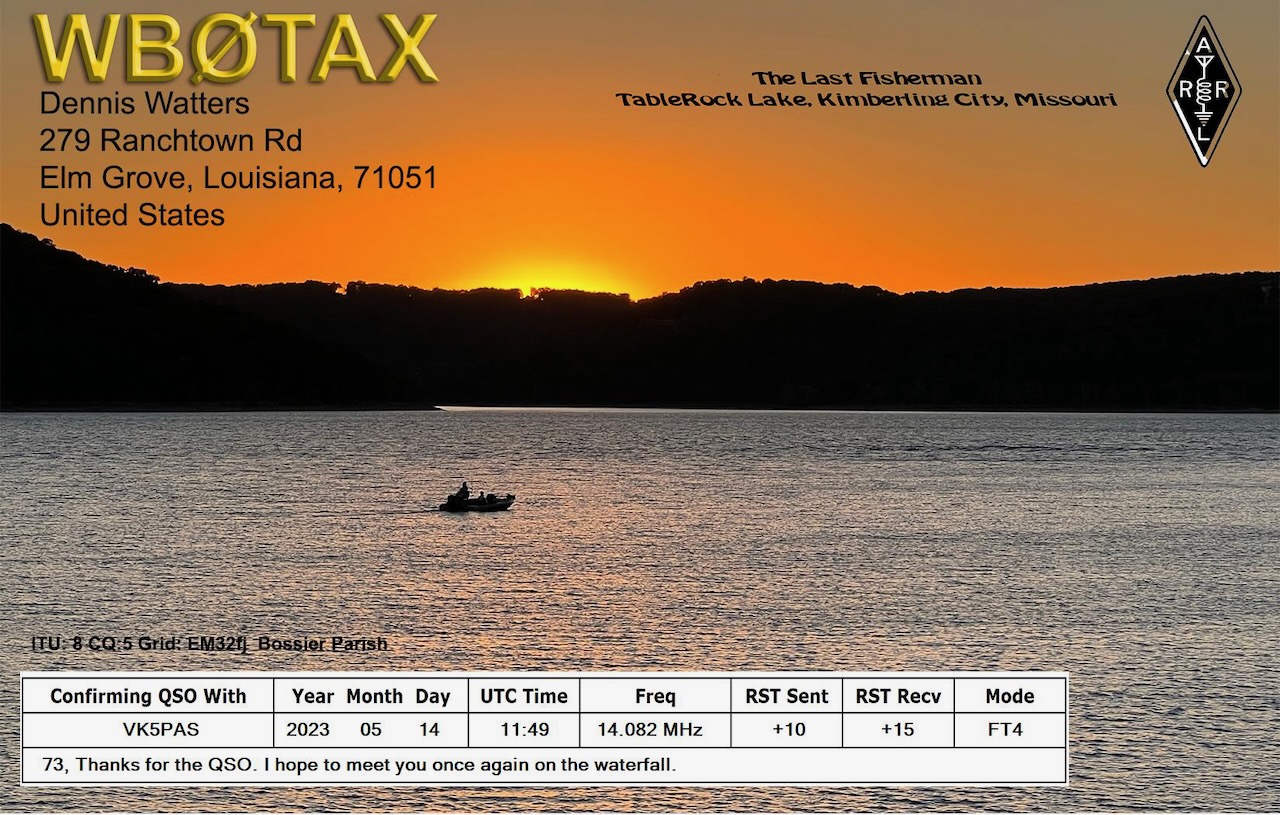
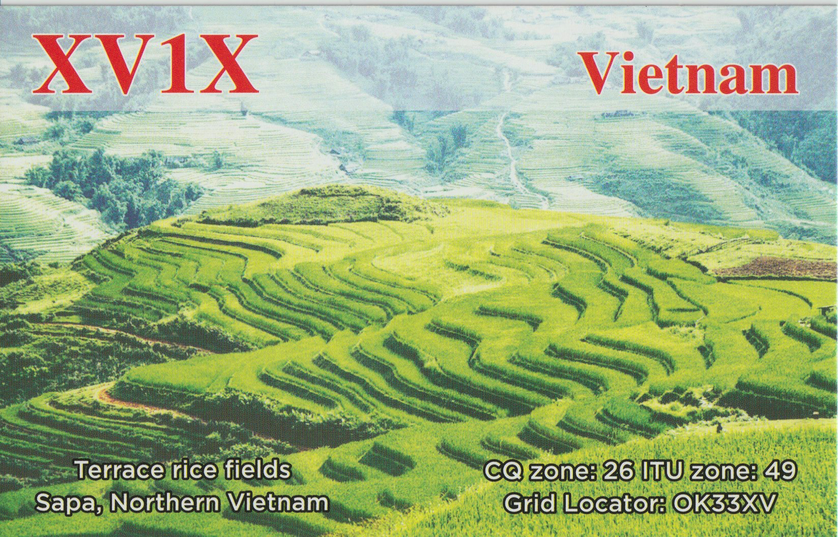
Here is a selection of QSL cards received direct in the past few weeks for VK5MAZ and VK5PAS.
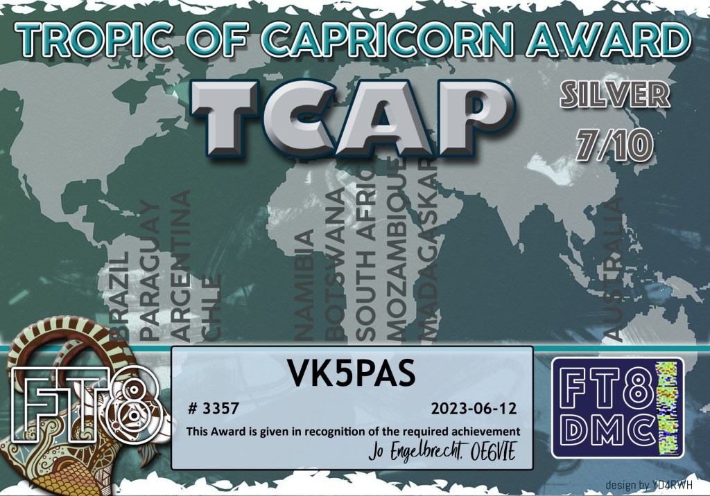
A few more FT8 award certificates.
Thank you to the FT8 operators and the award managers.

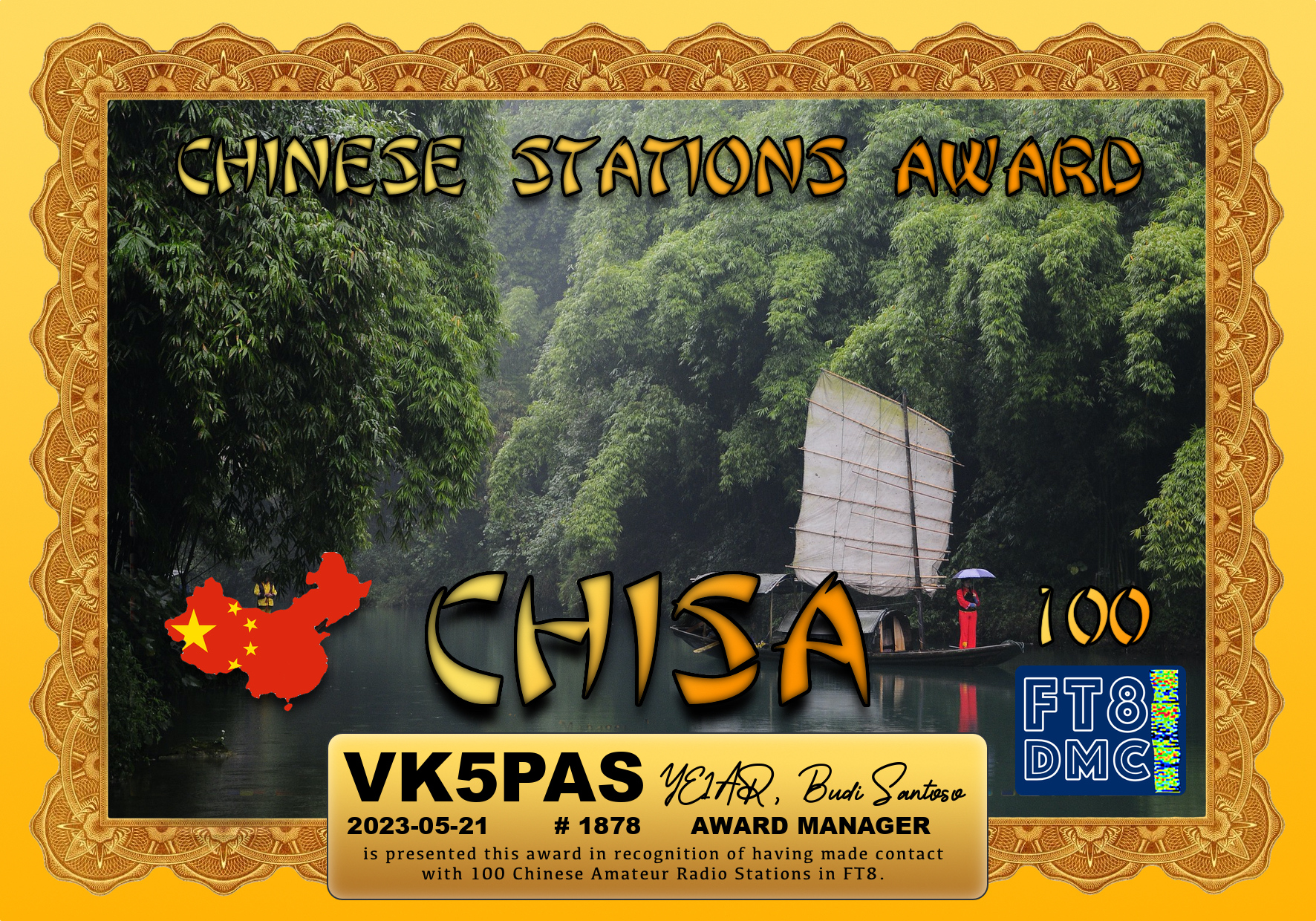
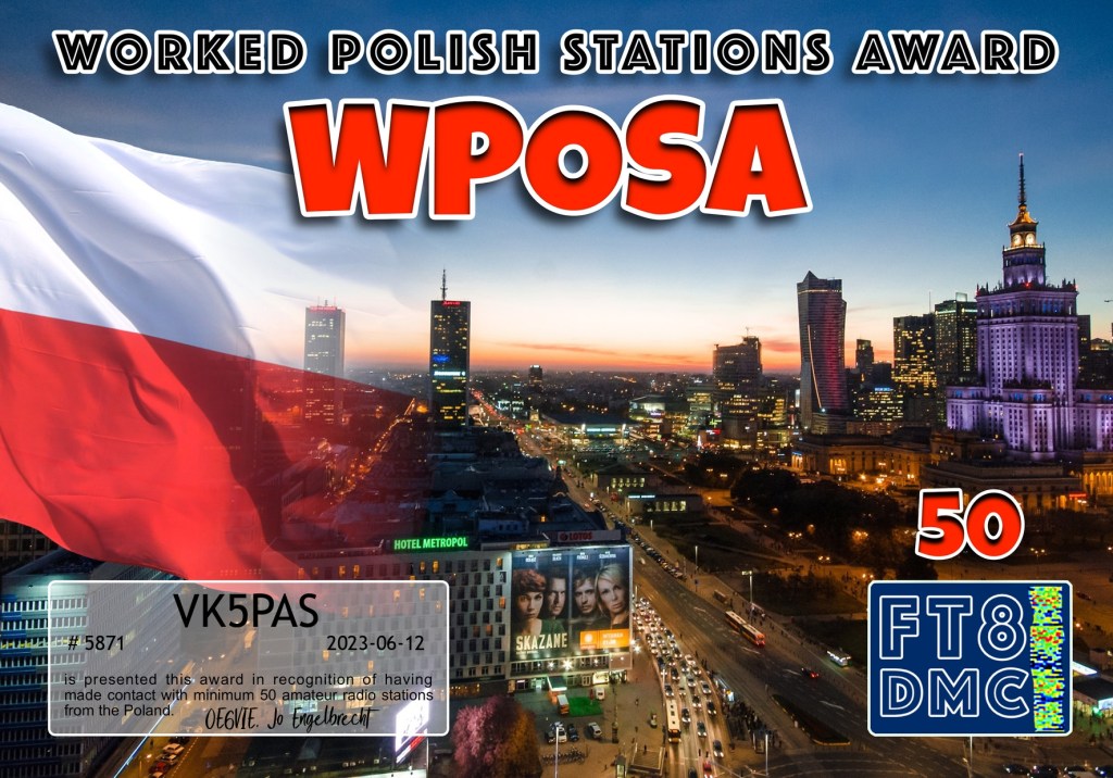
Here are my latest FT8 award certificates.
Thank you to everyone who made contact with me and thank you to the award managers.
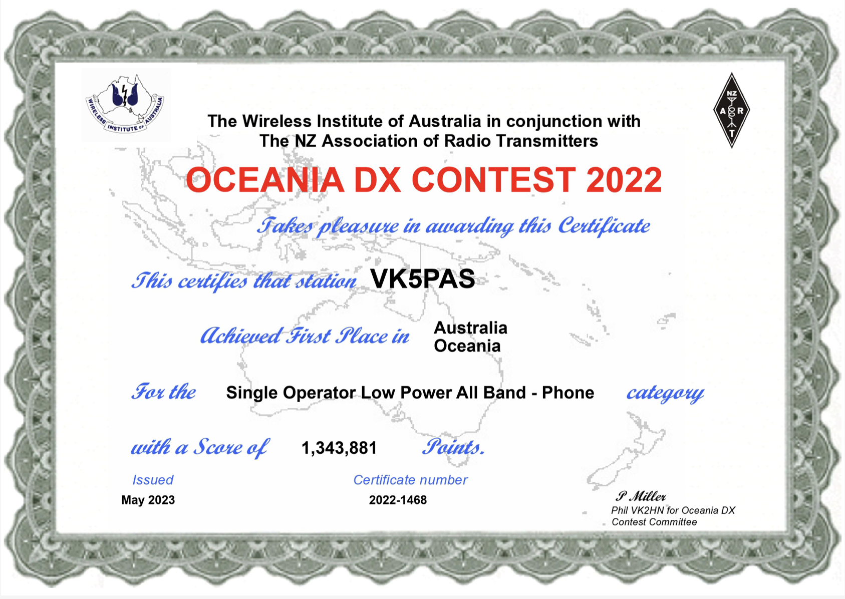
I am very pleased to have come First in Australia and First in Oceania in the 2022 Oceania DX Contest – Single Op Low Power All Band Phone category.
Thank you to everyone who called me. And thank you to the organisers of this great contest.
Amateur Radio, Short Wave Listening, travel and history
Amateur radio experiences with VK1DA
Brisbane - Australia
german amateur radio station
Summits On The Air
SOTA on the peaks, wilderness QRP and some bushwalking
A fine WordPress.com site
Amateur Radio Adventures
Summits on the Ai
Amateur radio station from Belgium
Radio craft, homebrew, QRP/SOTA, AM
Ego loqui ad viros super montes
My adventures with Amateur Radio and Geocaching!
The rantings of VK2GAZ on his SOTA experiences in Australia
A survivor, with minor cuts and abrasions.
The Art and Craft of Blogging
The latest news on WordPress.com and the WordPress community.
Blog of Justin Giles-Clark VK7TW's SOTA and amateur radio adventures.
Occasional SOTA & Microwave operation
