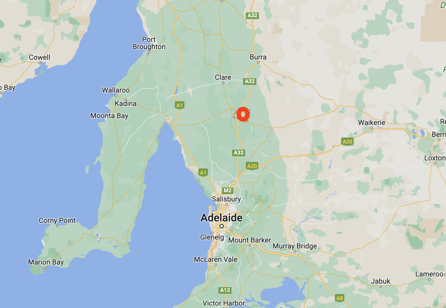
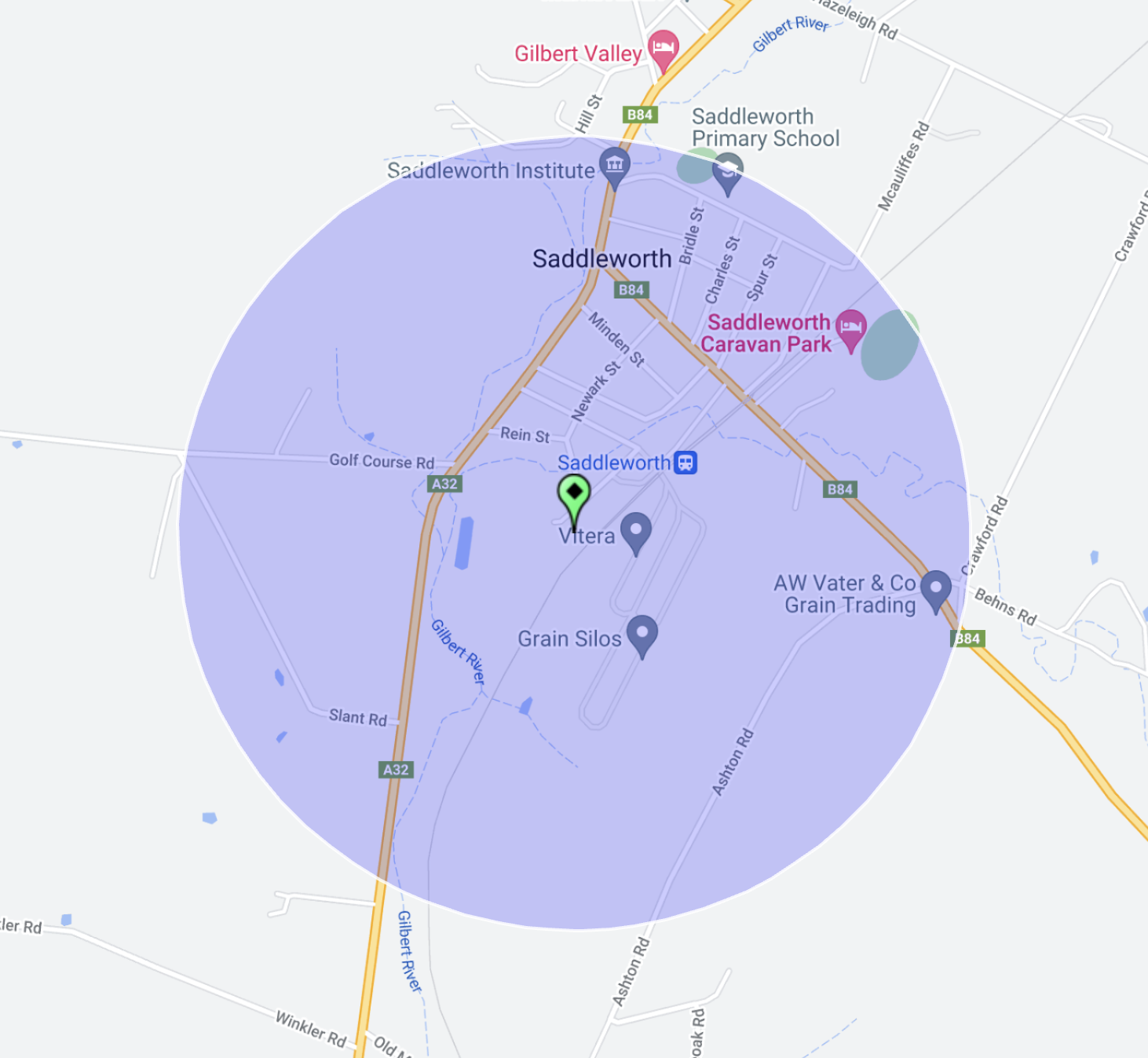
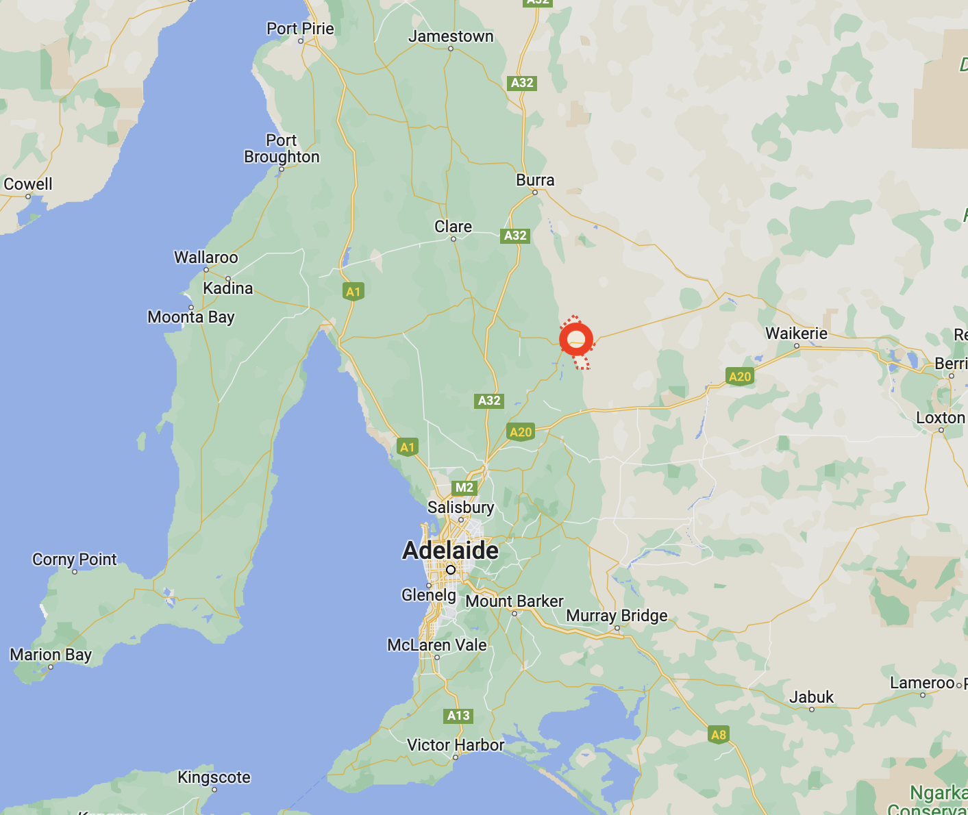
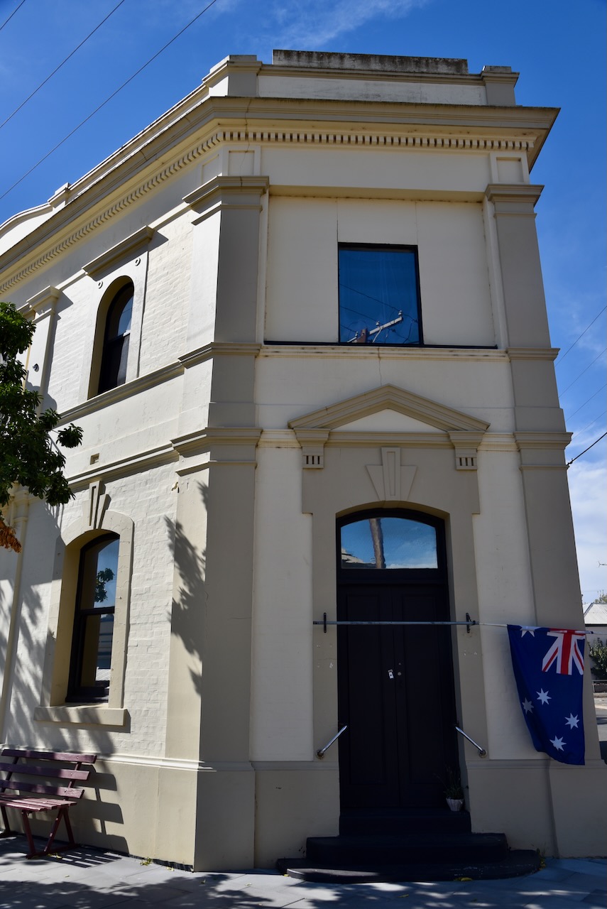
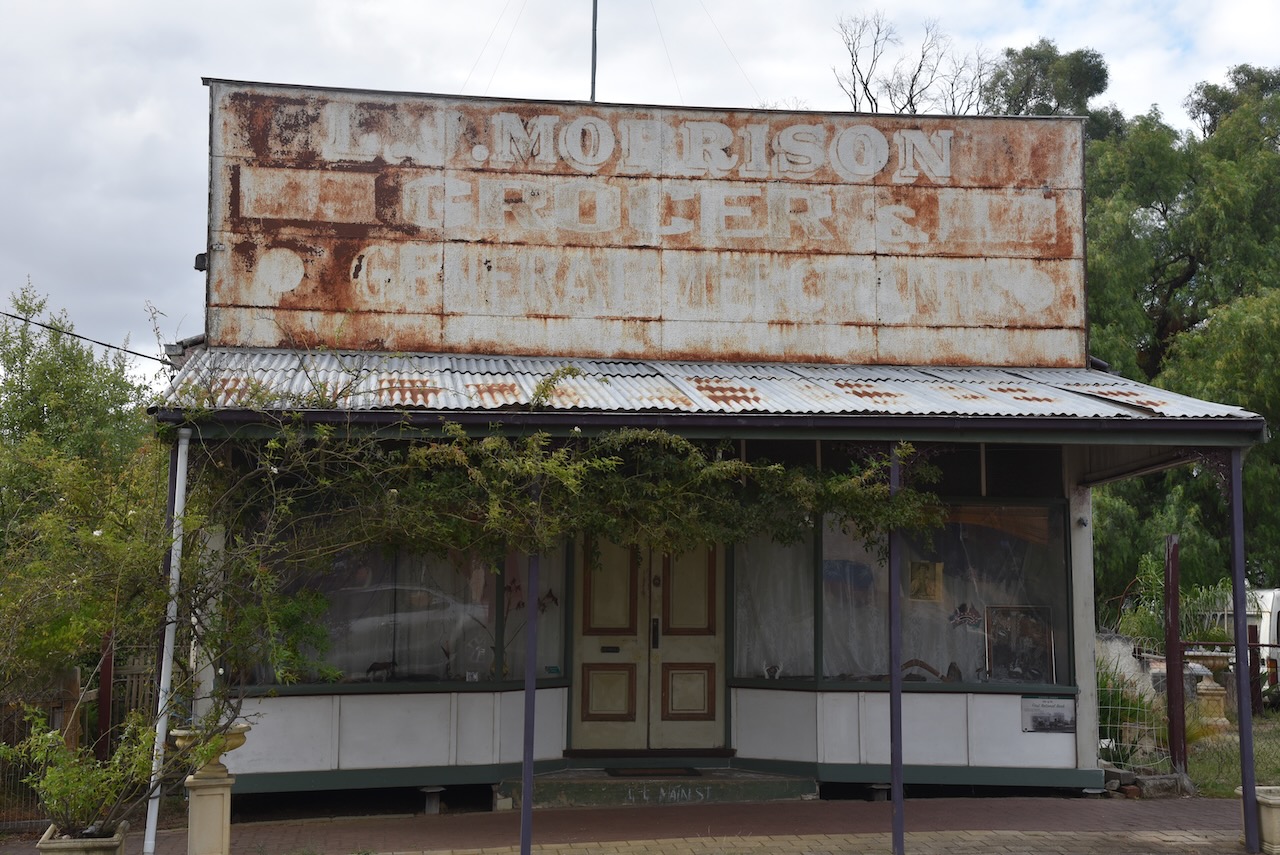
My fifth silo for 26th April 2023 was the Saddleworth silo VK-SDH5. Saddleworth is located in the Mid-North region of South Australia, about 111 km north of the city of Adelaide.
Above:- Map showing the location of Saddleworth. Map c/o Google Maps.
The town of Saddleworth was initially established as one of many settlements on the road to the mining town of Burra. It was named after Saddleworth Lodge pastoral station. The station was in turn named after a civil parish on the edges of the Pennines in Yorkshire in England. In March 1846 Joseph Dunn applied for a Publican’s Licence to open Saddleworth Lodge. His application was granted.
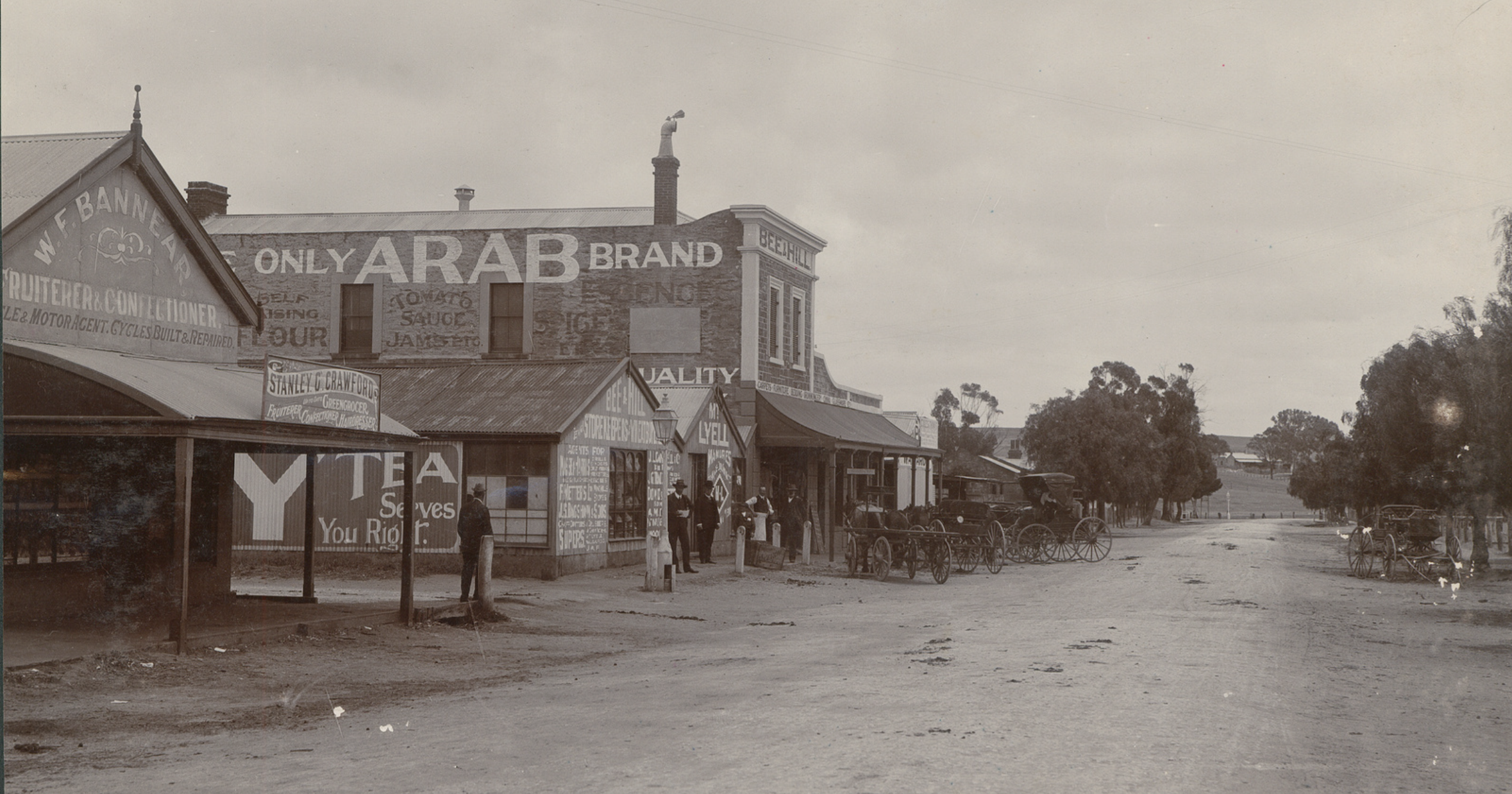
Above:- the main street of Saddleworth, early 1900s. Image c/o State Library South Australia
Saddleworth has a 3 km long Heritage Walking Trail which provides an insight into the history of the town and the district.
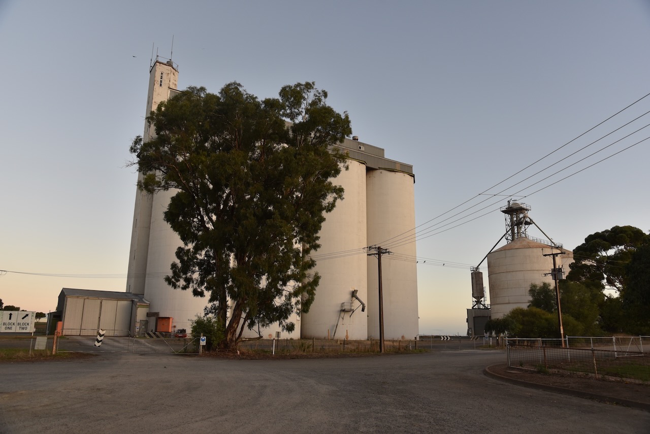
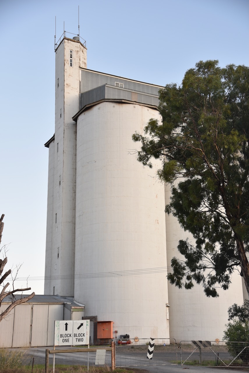
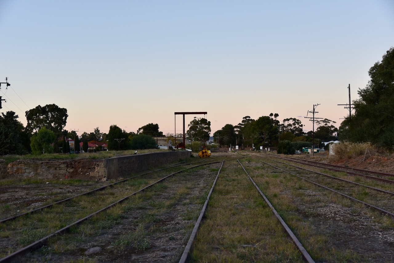
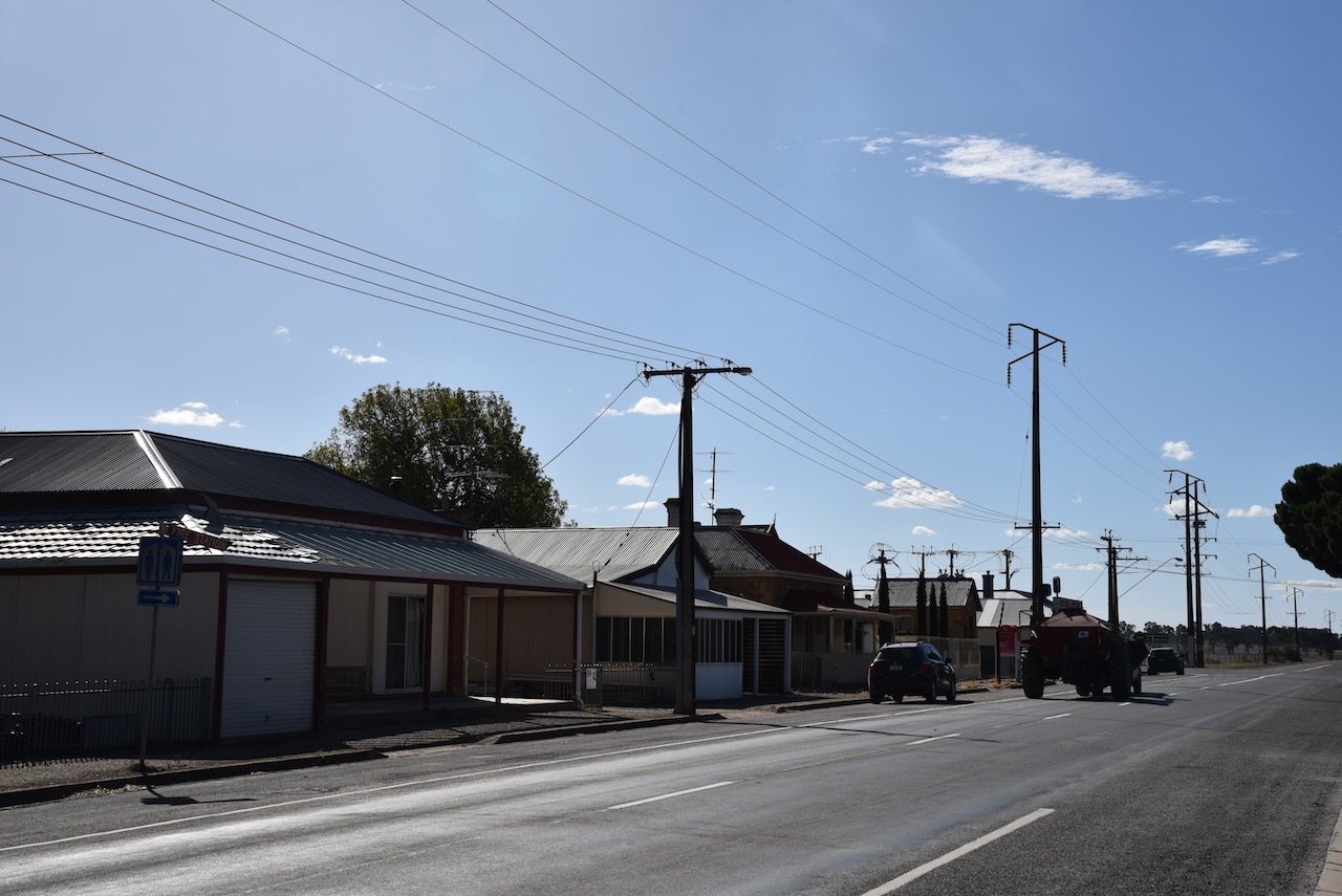
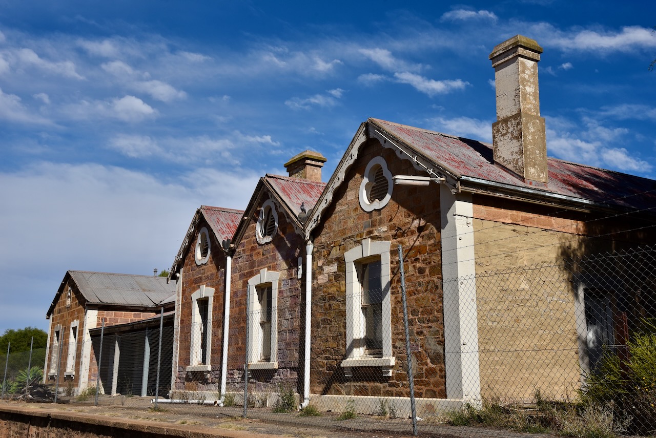
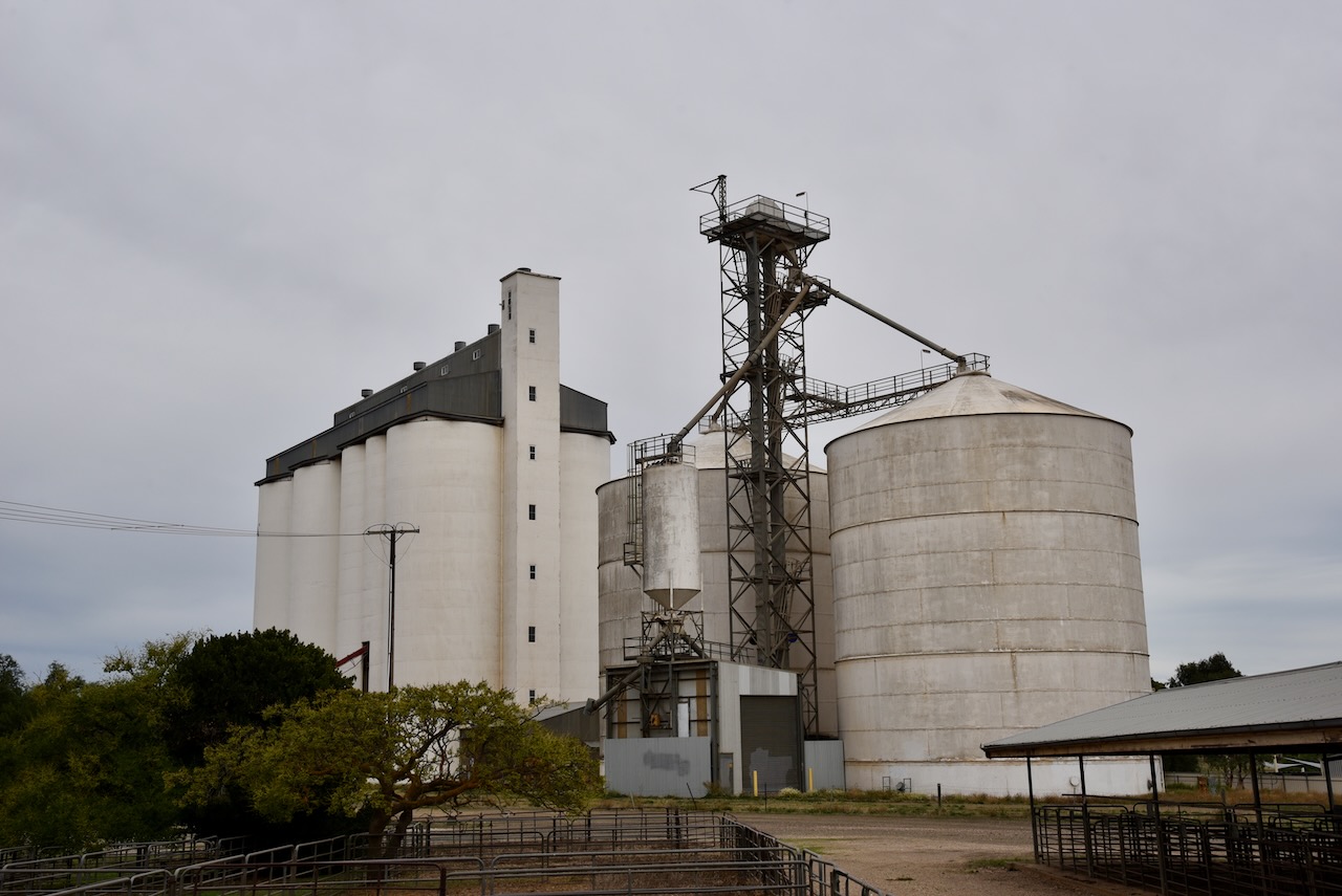
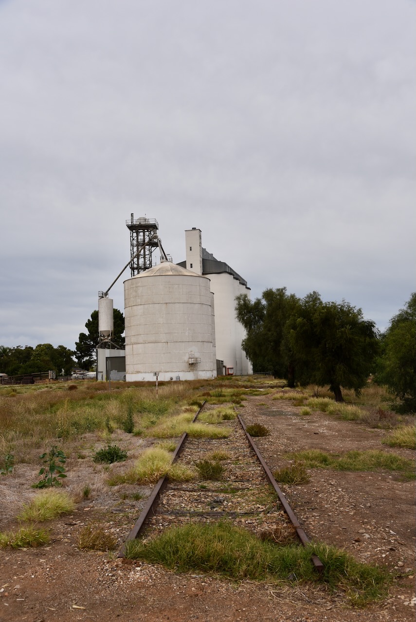
The Saddleworth silos are a large complex and are operated by Viterra Australia. They are located on Girth Street in the town.
I parked in Girth Street and operated from the 4WD, running the Icom IC-7000, 100 watts, and the Codan 9350 antenna (1.5 metre stainless steel whip).
Above:- the activation zone at the Saddleworth silos. Map c/o SiOTA website.
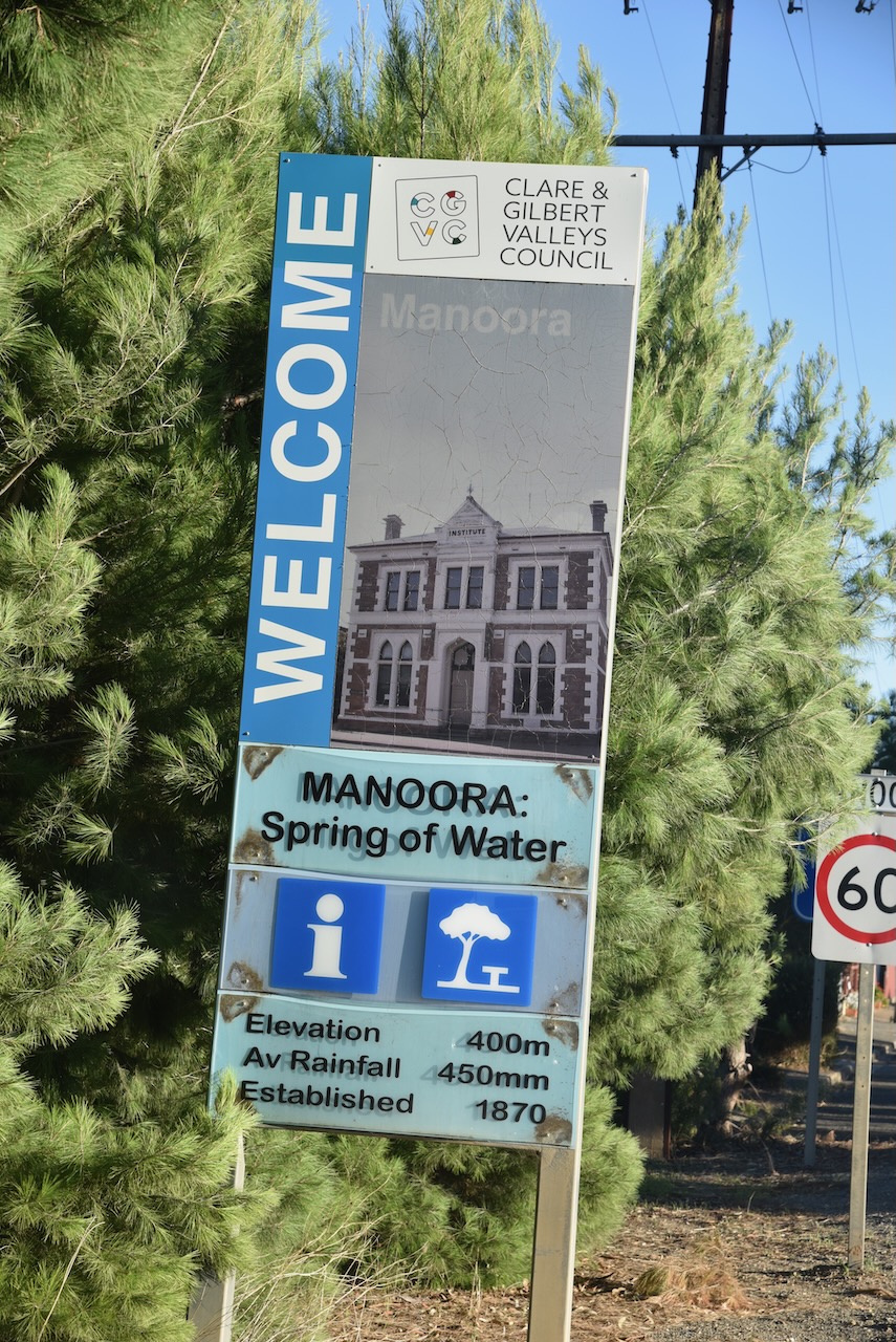
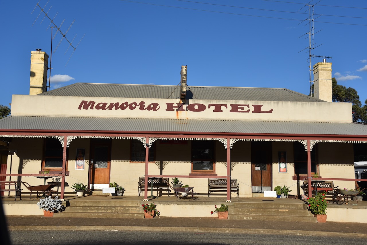
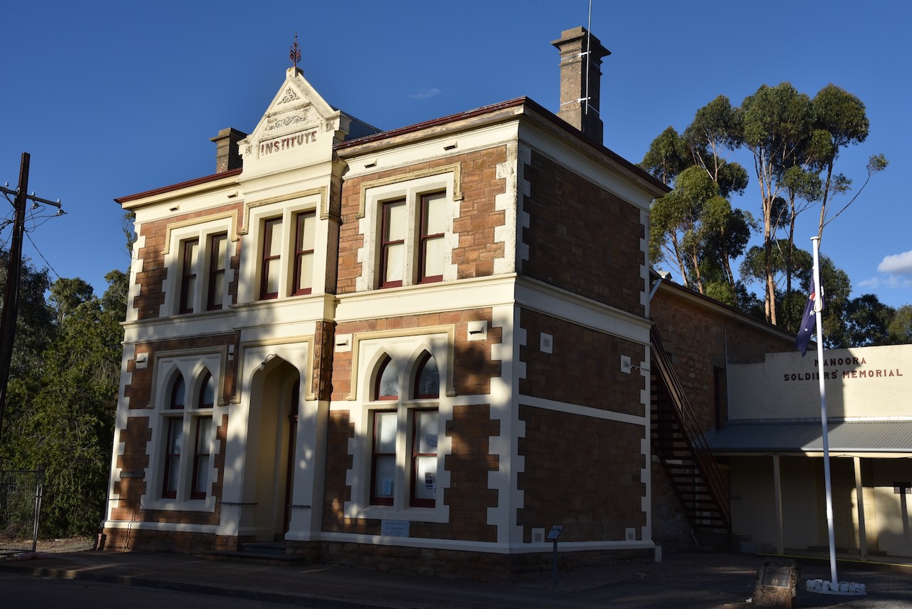
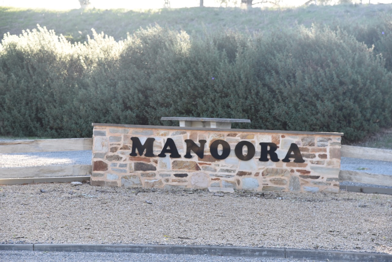
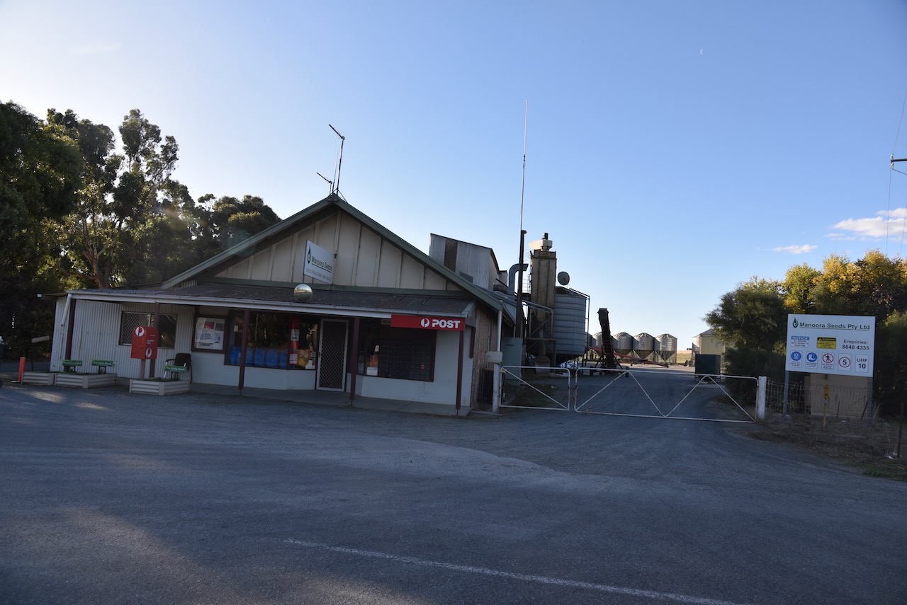
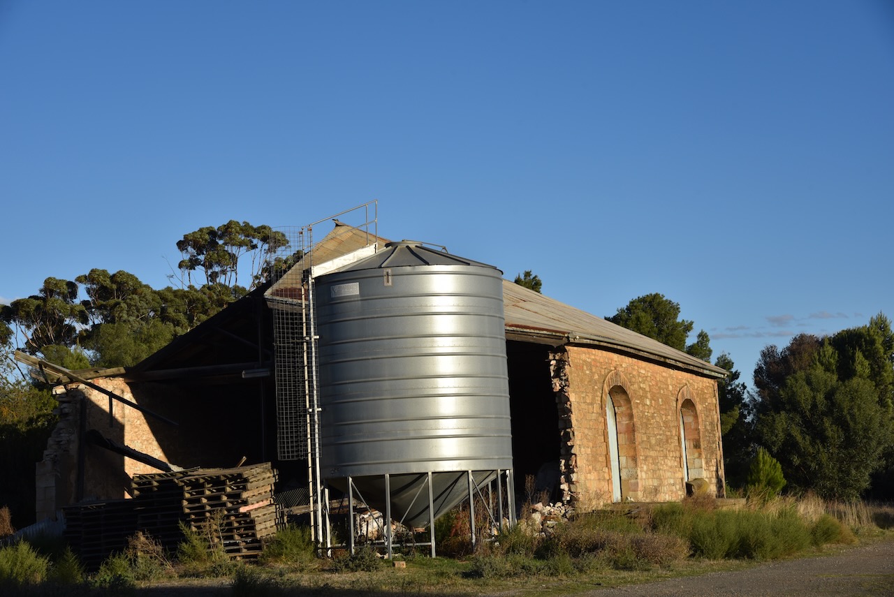
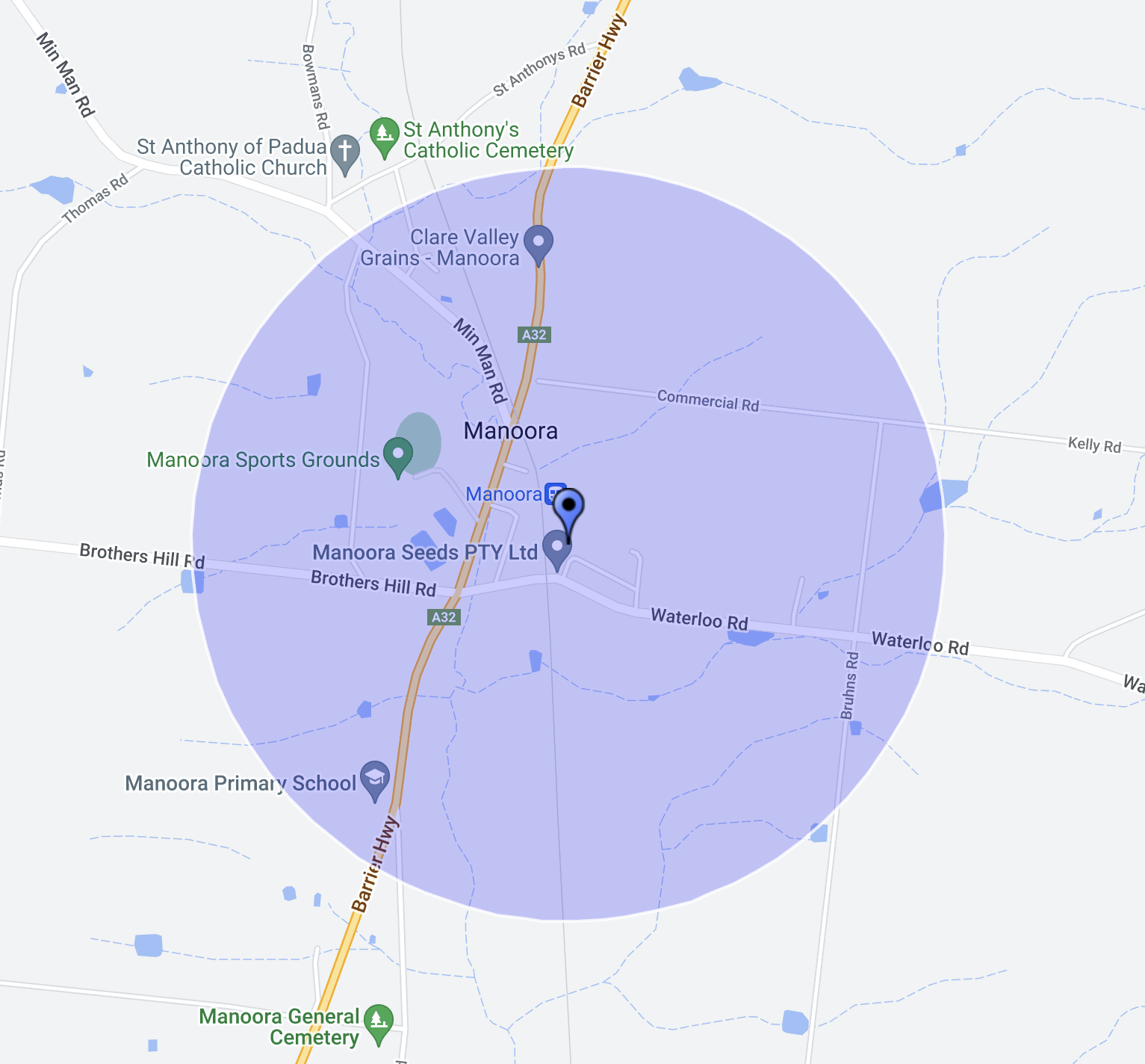
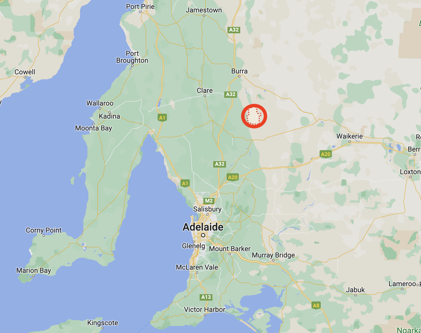
My fourth silo for 26th April 2023 was the Manoora silo VK-MNR5. Manoora is located about 121 km north of the city of Adelaide.
Above:- Map showing the location of Manoora. Map c/o Google Maps.
In 1841, Scottish sheep pastoralists Edward and William Peter settled in the Manoora district. The township of Manoora is named in honour of another early pastoral station owned by A.W.J. Grant. Manoora is believed to be an aboriginal word meaning spring or water.
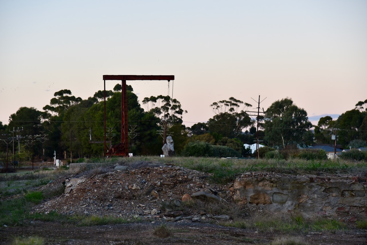
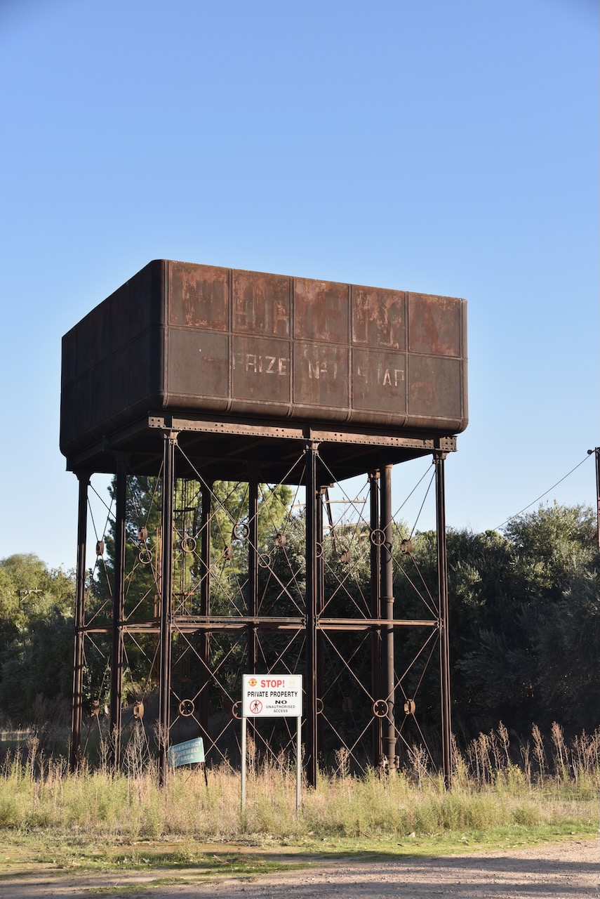
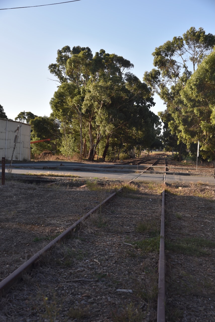
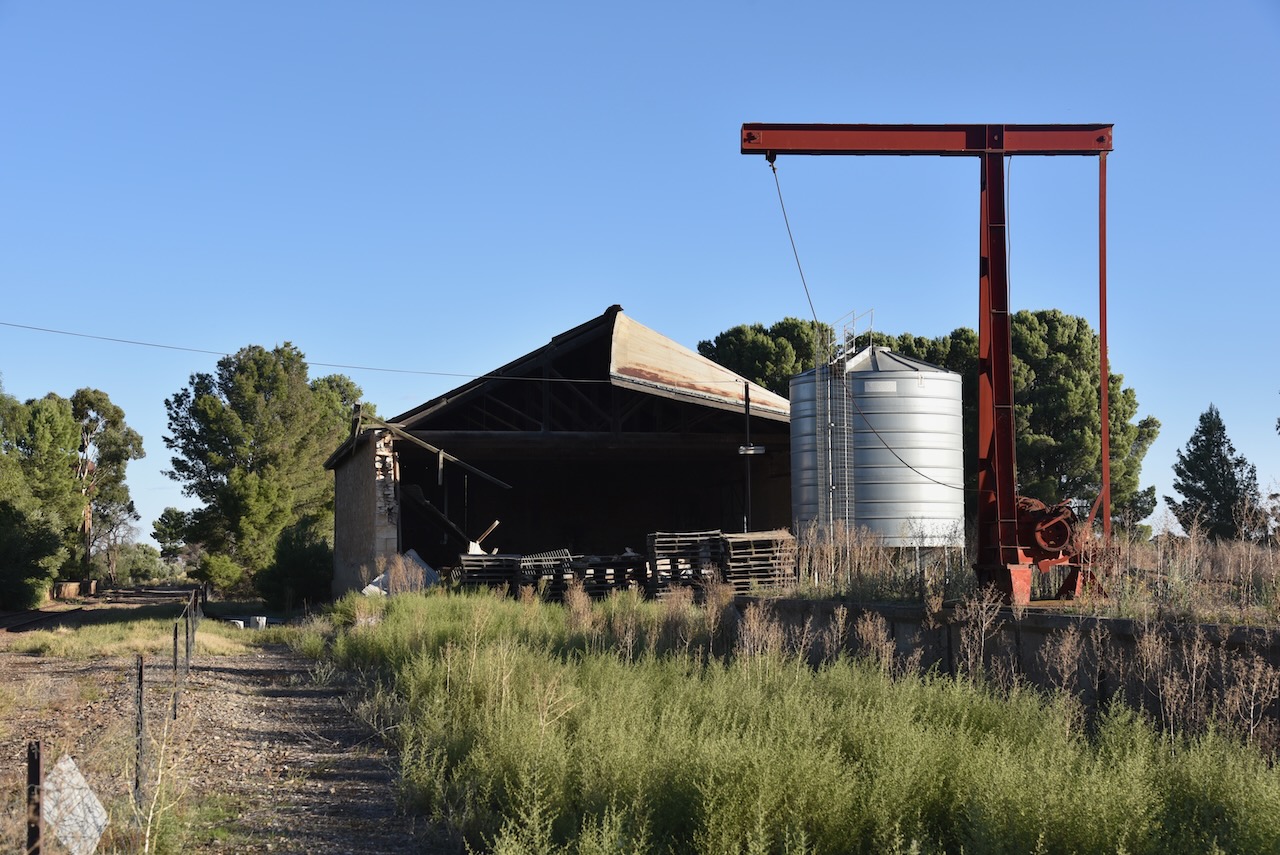
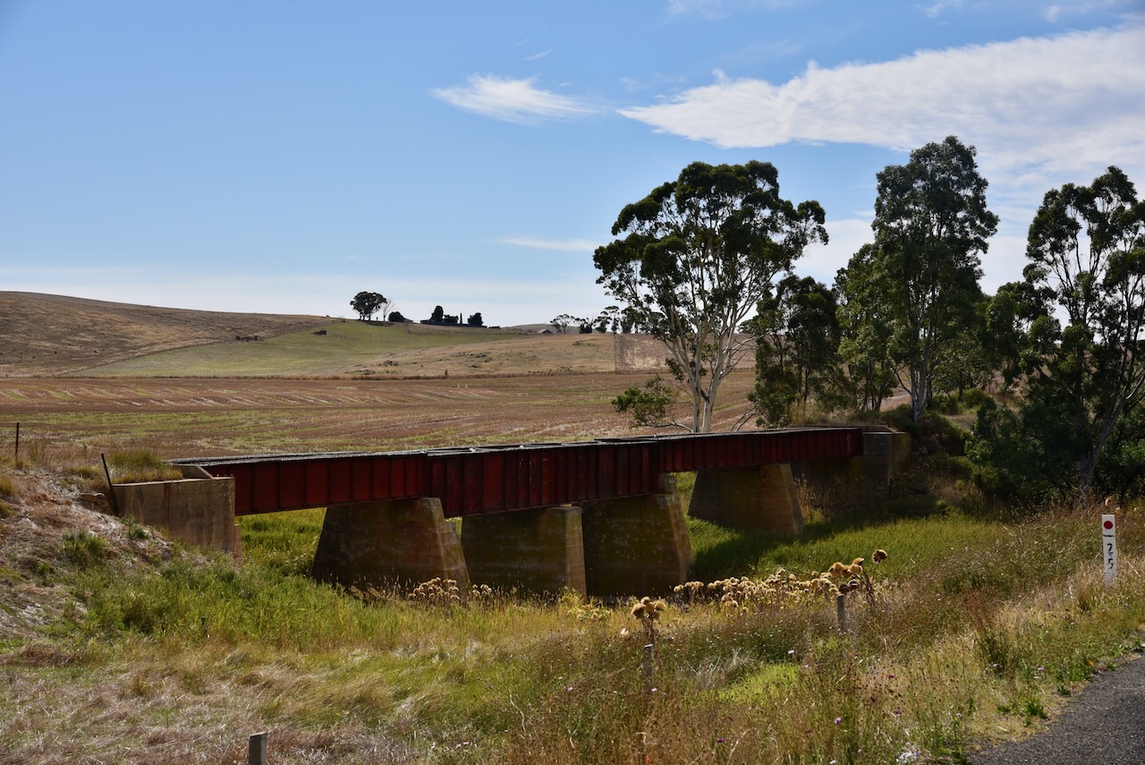
Manoora was situated on the Peterborough railway line which serviced the mining town of Burra until the line was closed. Unfortunately, I was not able to view the old Robertstown railway station as it is obscured by trees and there were a number of signs indicating it was private property. The old railway shed, crane, and water tank were visible.
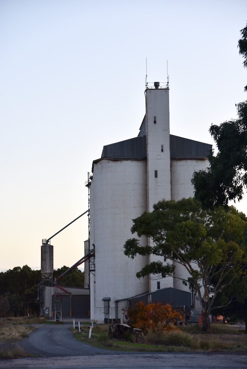
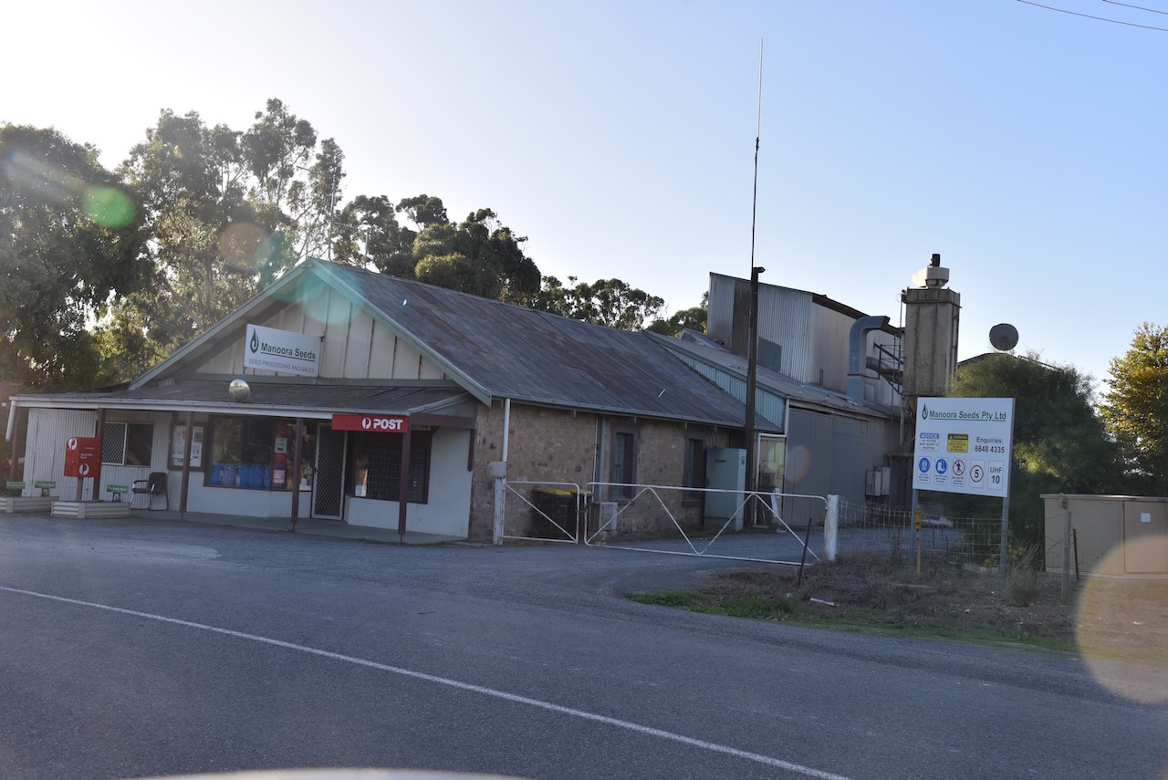
The Manoora silos are part of Manoora Seeds Pty Ltd, which is located directly opposite the old railway station.
I parked directly opposite the silos and operated from the 4WD. I ran the Icom IC7000, 100 watts, and the Codan 9350 antenna (1.5-metre stainless steel whip). It was great to get some Silo to Silo contacts with Alan VK1AO/VK2MET who was activating silos in New South Wales.
Above:- the activation zone at the Manoora silo. Image c/o SiOTA website.
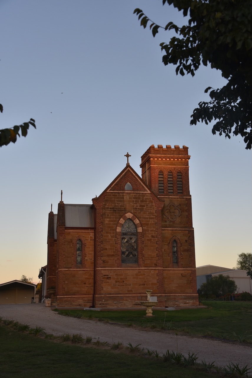
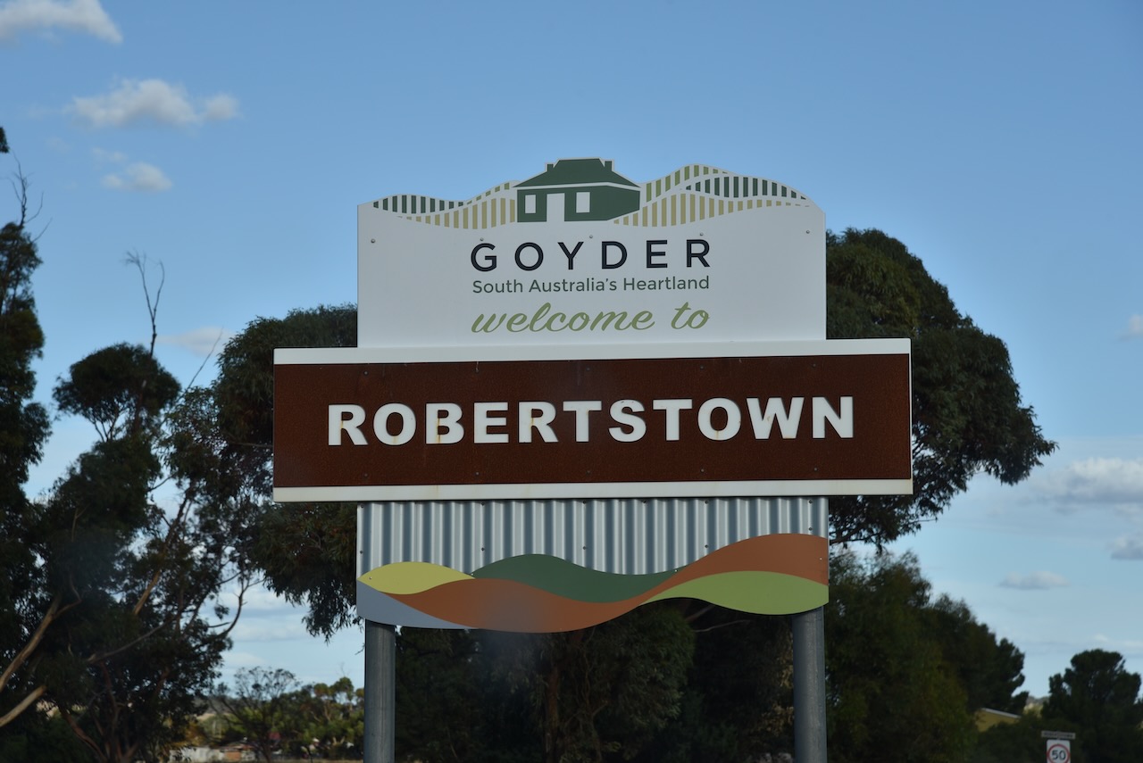
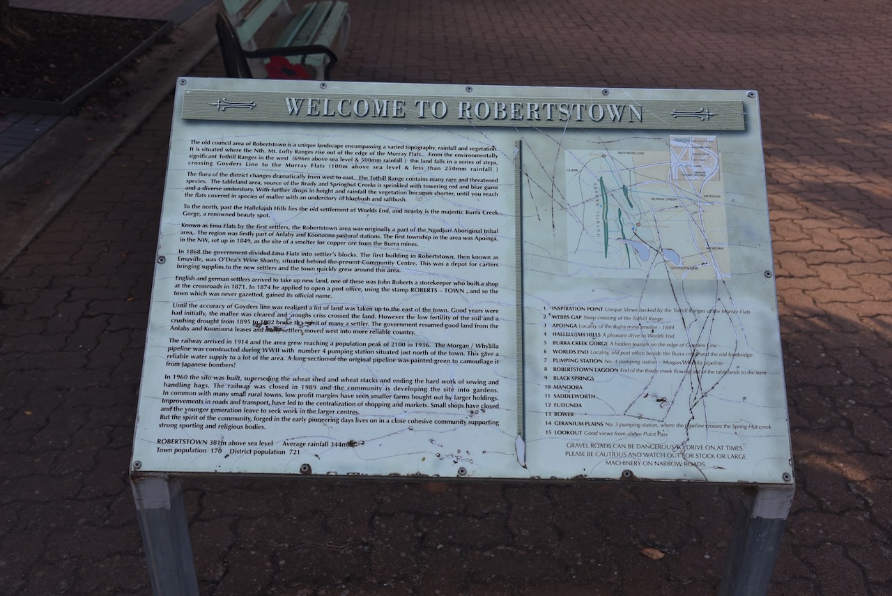
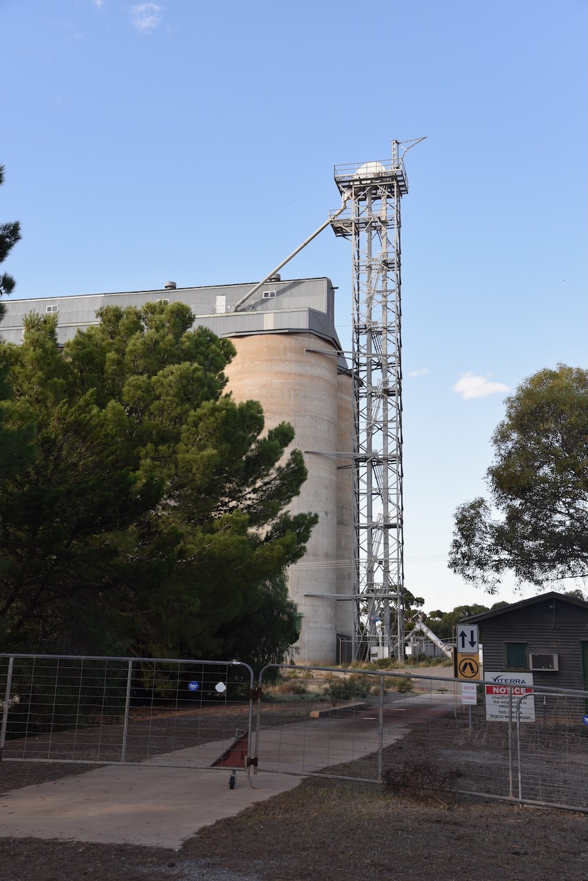
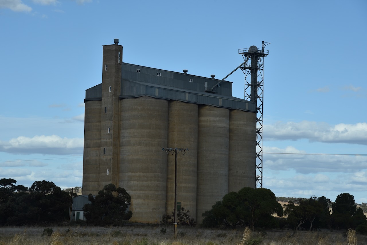
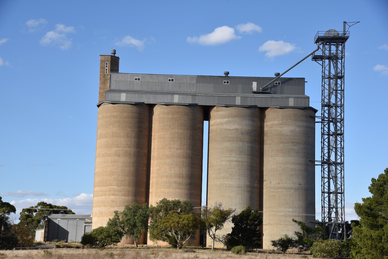
My third silo for 26th April 2023, was the Robertstown silo VK-RBN5. Robertstown is located about 133 km north of the city of Adelaide
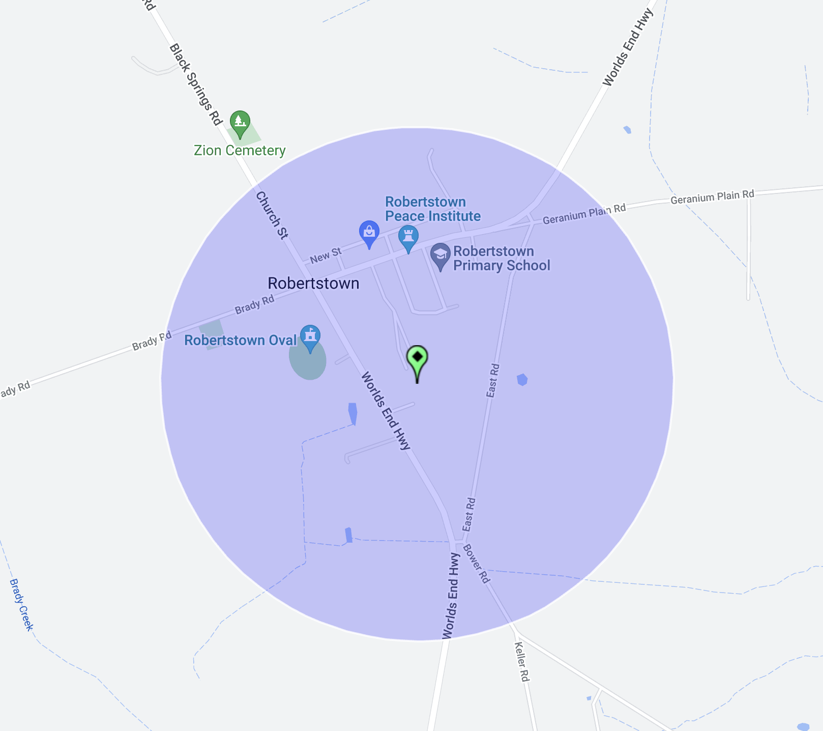
Above:- Map showing the location of Robertstown. Map c/o Google Maps.
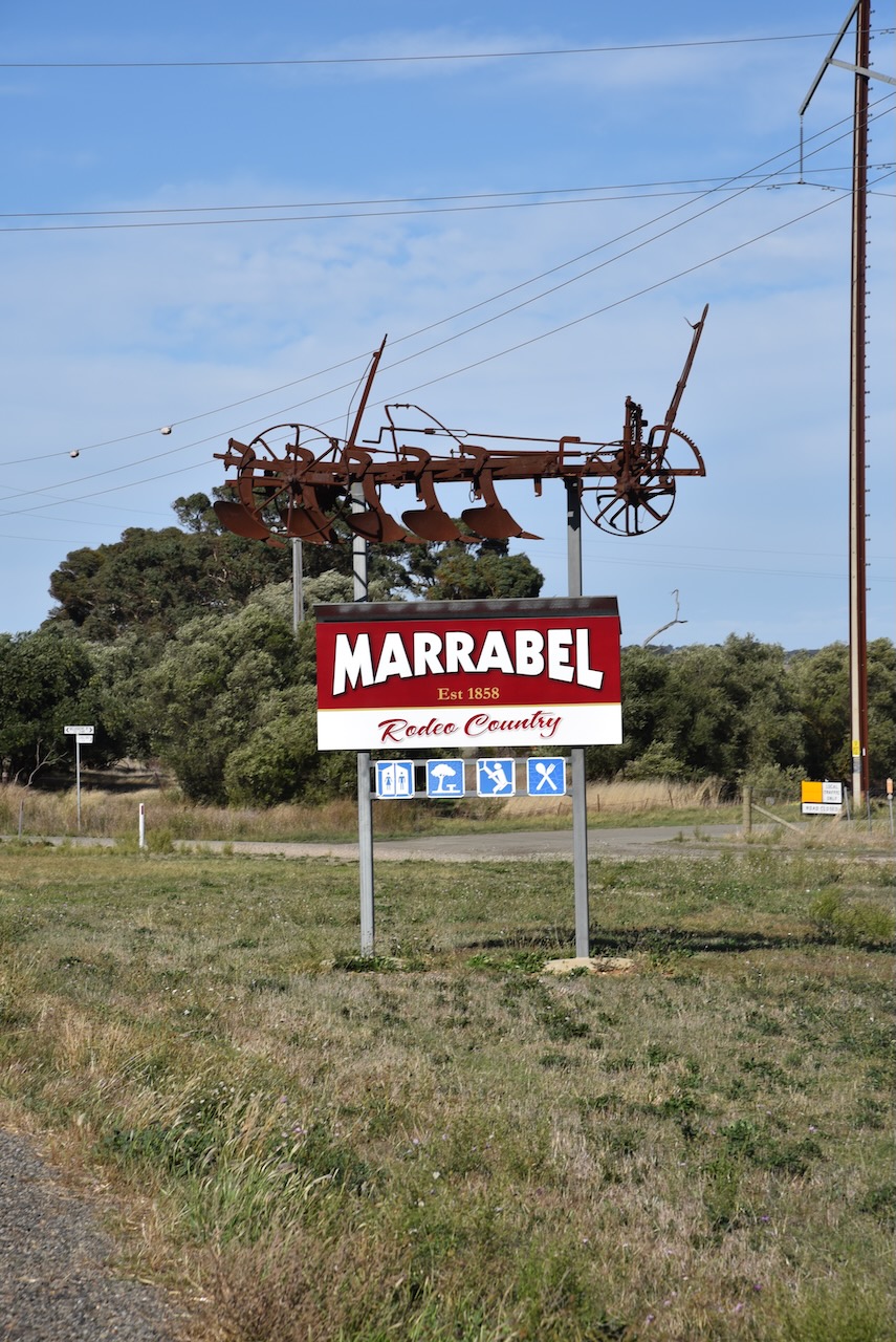
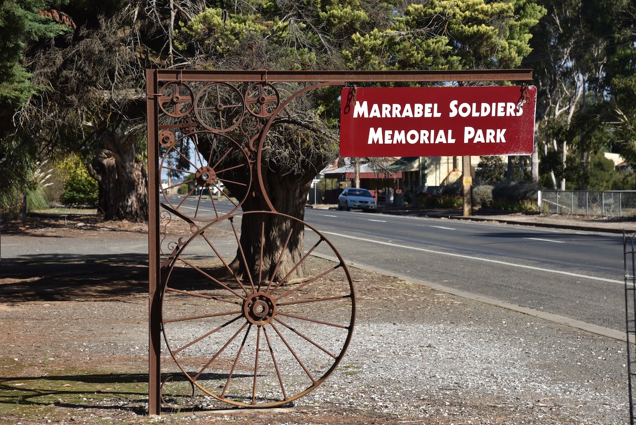
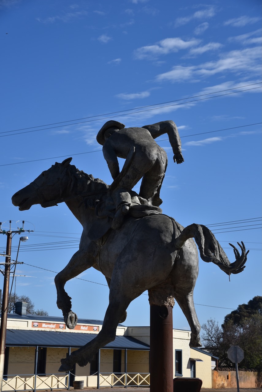
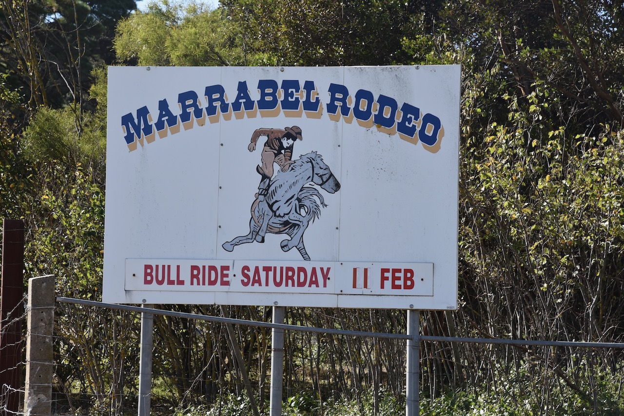
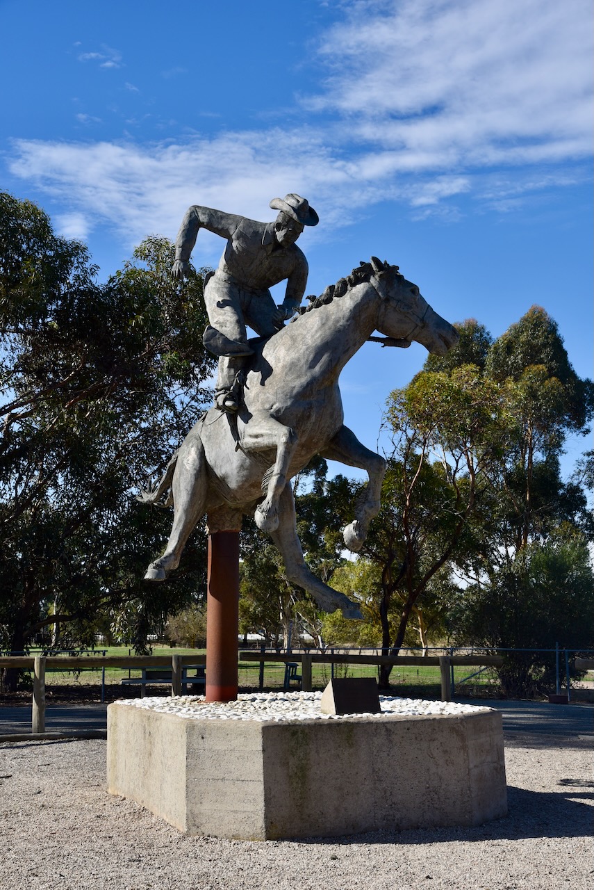
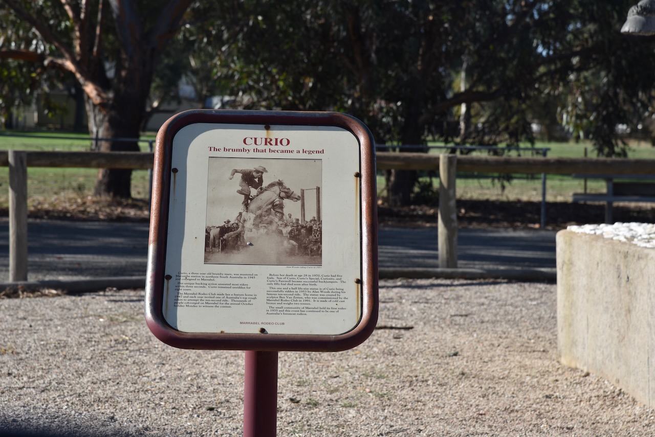
Prior to heading to Robertown, I headed along Curio Road to the little town of Marrabel. This tiny town of only around 200 people is famous throughout Australia for its annual rodeo and bull ride
The area was first surveyed in 1841 following the 1839 Special Survey of the Light River. The South Australian Government sold 4,000 acres to the Special Survey financiers. Tow men, Edward Hawker and Richard Blundell subsequently purchased land from the Special Survey owners. Blundell in turn sold two sections of his land to John Marrabel, who was a butcher in Rundle Street, Adelaide. John Marrabel subsequently subdivided some of his land to create the township of Marrabel in 1858. The town was laid out as a private town in 1859, north of the present town site. Local farmers John and Thomas Penny subdivided the main part of the township to the south of th crossroads in 1866.
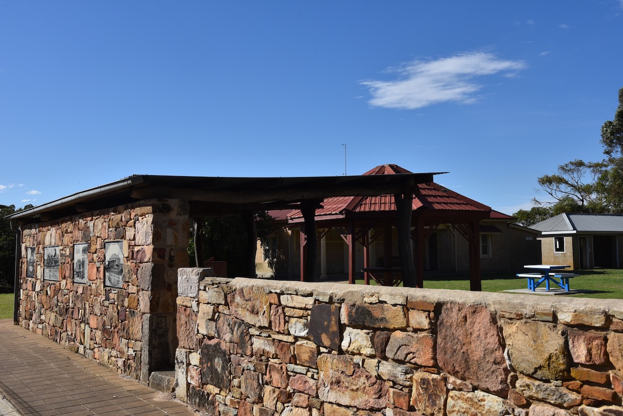
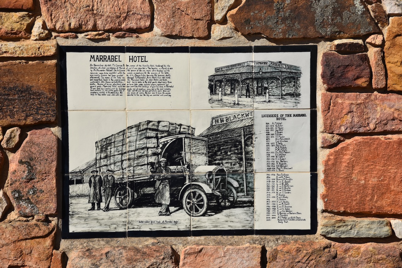
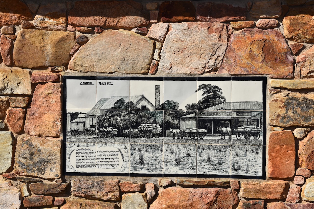
The township of Marrabel expanded rapidly and by the mid to late 1860s it comprised a hotel, several churches, a school, two general stores, two blacksmiths, a post office, a steam flour mill, plus many other facilities.
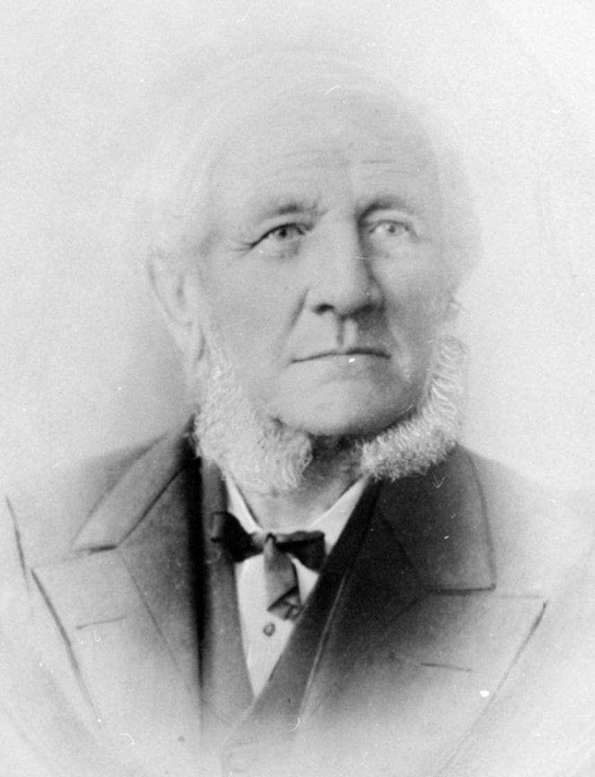
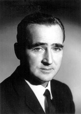
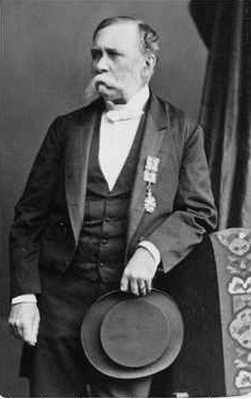
I then headed north along Main Road 45 and across the Tothill Range to the town of Robertstown. The town of Robertstown is named in honour of John Roberts, the first postmaster in the area. He laid out the town in 1871, which was previously known as Emu Flats and Roberts Town.
Above:- John Roberts, for whom Robertstown is named. Image c/o State Library South Australia
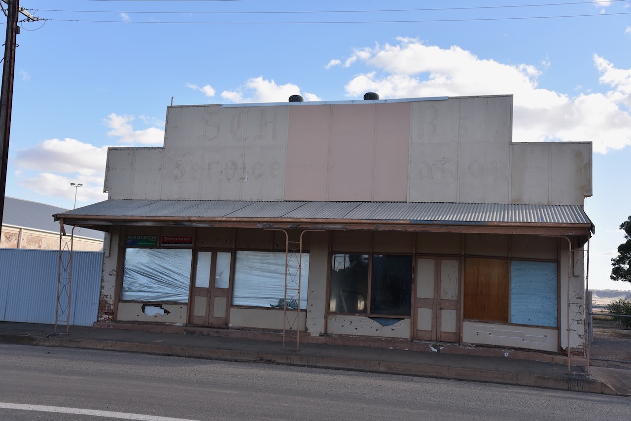
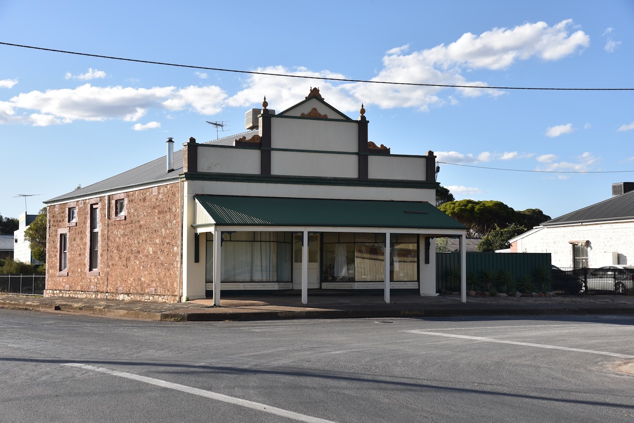
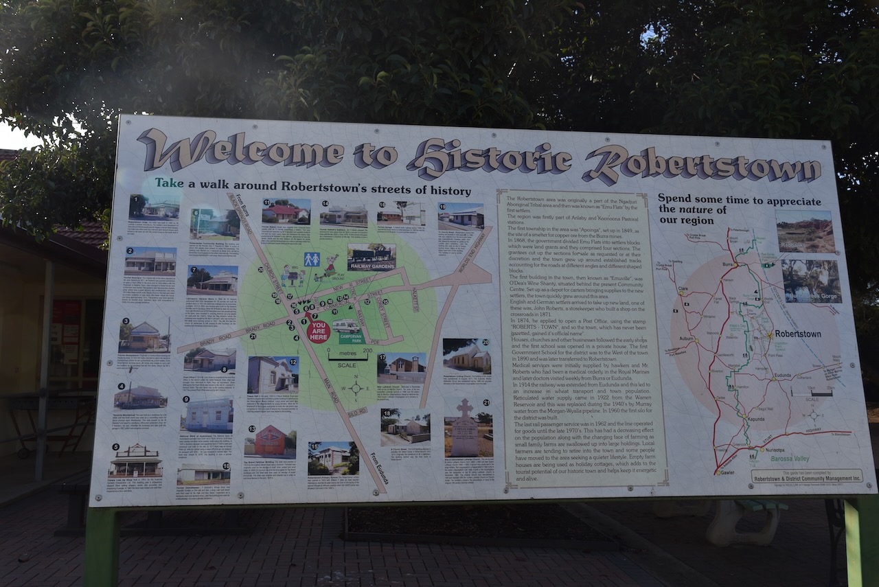
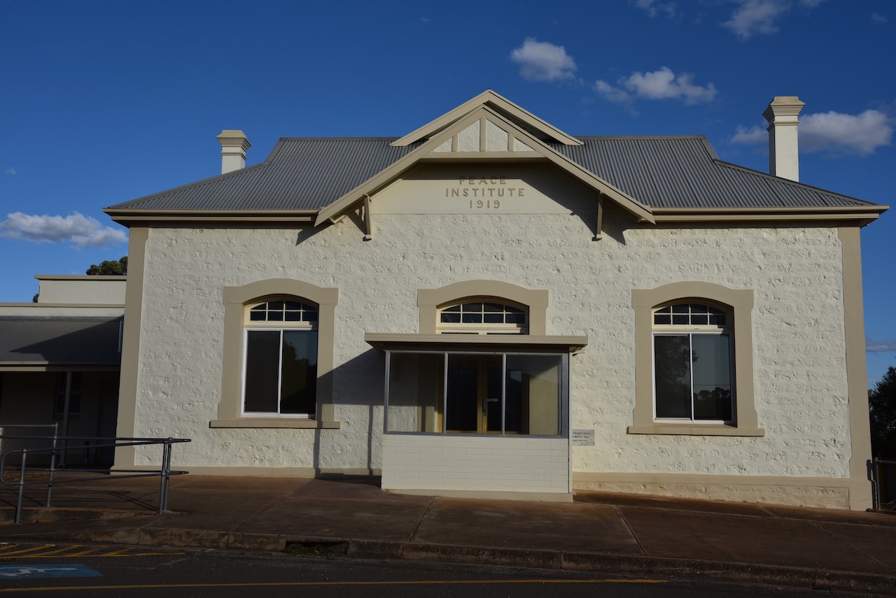
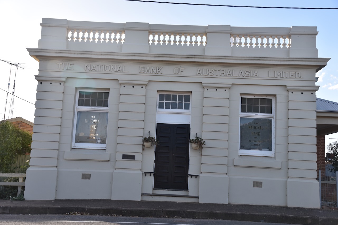
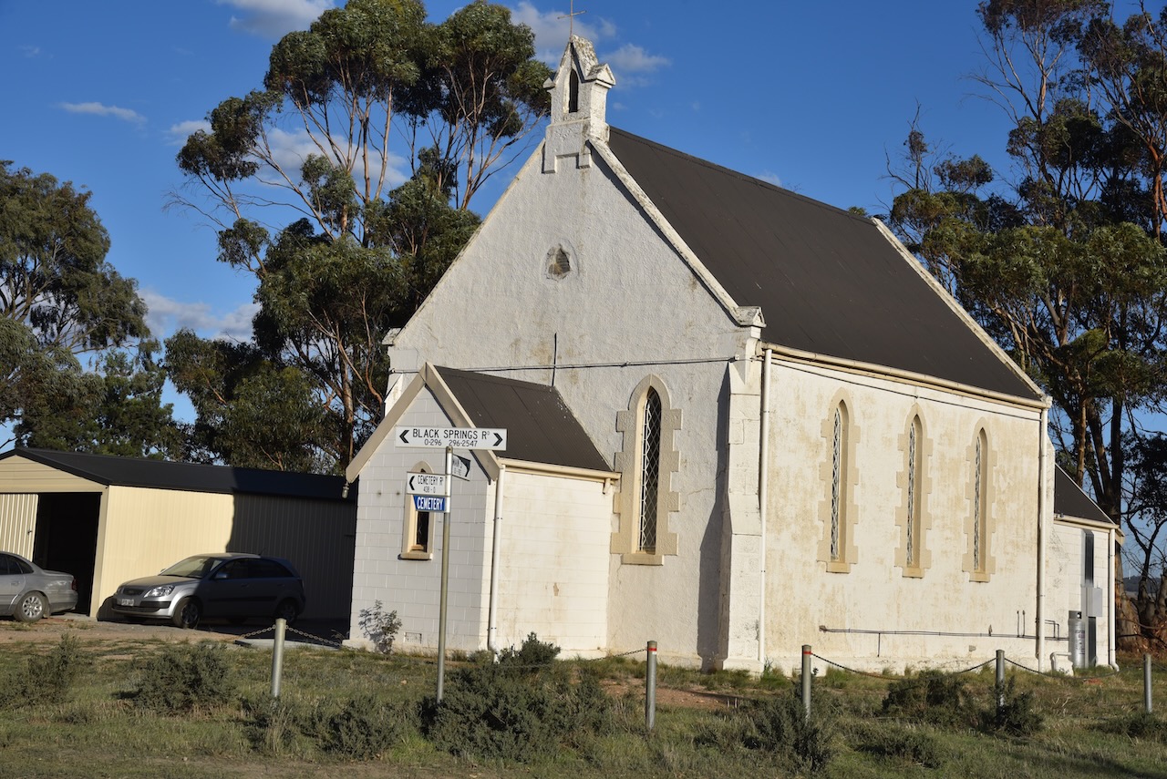
There are a number of historic buildings in Robertstown, and there is an information board in the main street describing the buildings and a historic walk that you can undertake.
The Robertown silos are located at the end of Silo Road which runs off Worlds End Highway. Worlds End is a locality with a very unusual name. Rodney Cockburn’s 1908 book ‘South Australia What’s in a name’ states that Worlds End ‘received its bptism in droughty days, when, to ventture beyond that spur of thr Flinders Range, was considered to be courting runination’.
I parked in Silo Road and operated from the 4WD, running the Icom IC7000, 100 watts, and the Coadn 9350 antenna (1.5 m stainless steel whip). It was really pleasing to get a number of park activators in the log and some Silo to SIlo contacts with Alan VK1AO/VK2MET who was activating silos in New South Wales.
Above:- Map showing the activation zone at the Robertstown silo. Image c/o SiOTA website.
I worked the following stations on 40m SSB:-
VK5MAZ
VK3PF
VK5FANA
VK5HS
VK3YSA/p
VK3QH
VK2YAK
VK4YAK
Vk5CZ
VK3FLAK
VI10VKFF (Yarrobil National Park VKFF-0617)
VK2BYF/p (Yarrobil National Park VKFF-0617)
I worked the following stations on 20m SSB:-
VK7XX
VK3PF
VK4NTH
VK4PDX
VK4MUD/p (Warrumbungle National Park VKFF-0520)
VK3PI
VK7AAE
VK4SMA
VK3QH
VK3AWA/p (Gippsland Lakes Coastal Park VKFF-0747)
VK7HCK
VK2IO/p (SOTA VK2/ CW-017 and Warrumbungle National Park VKFF-0520)
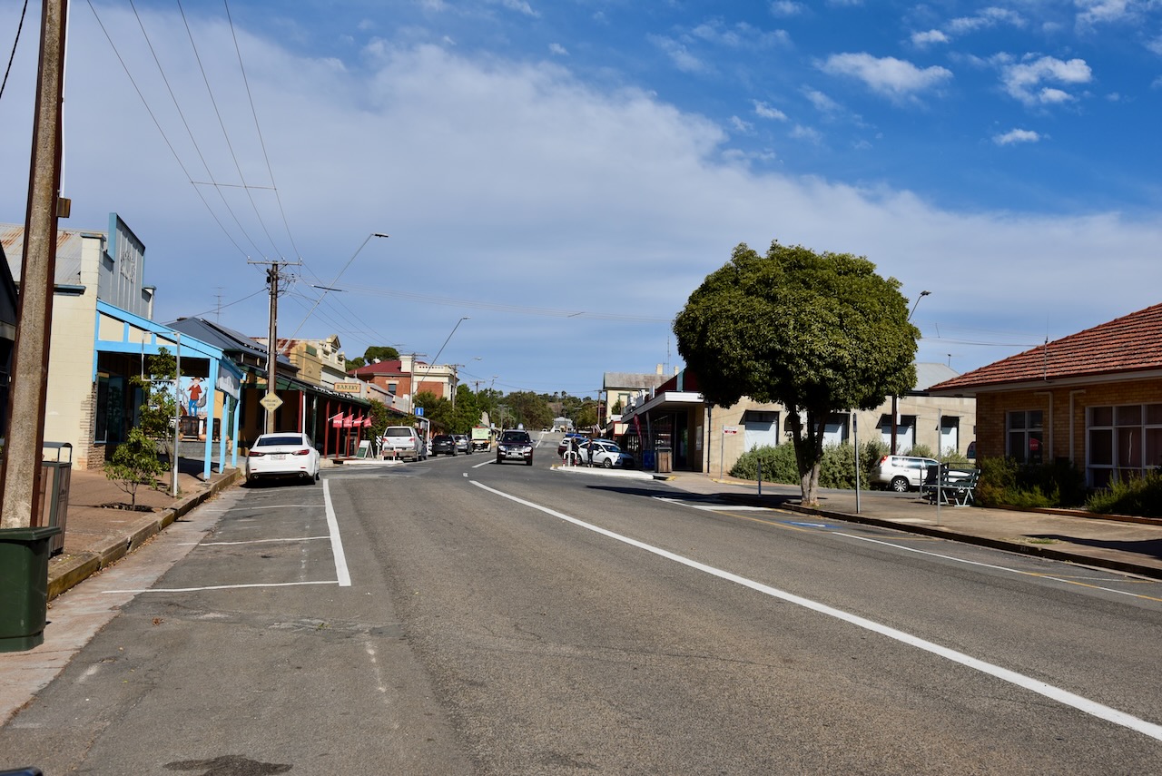
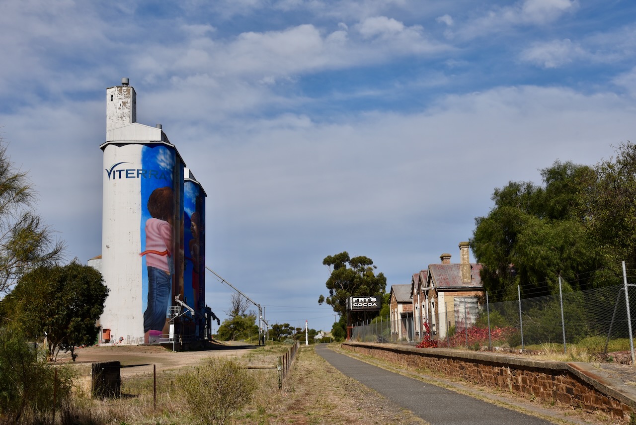
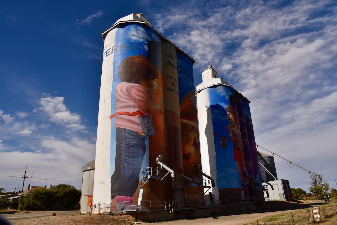
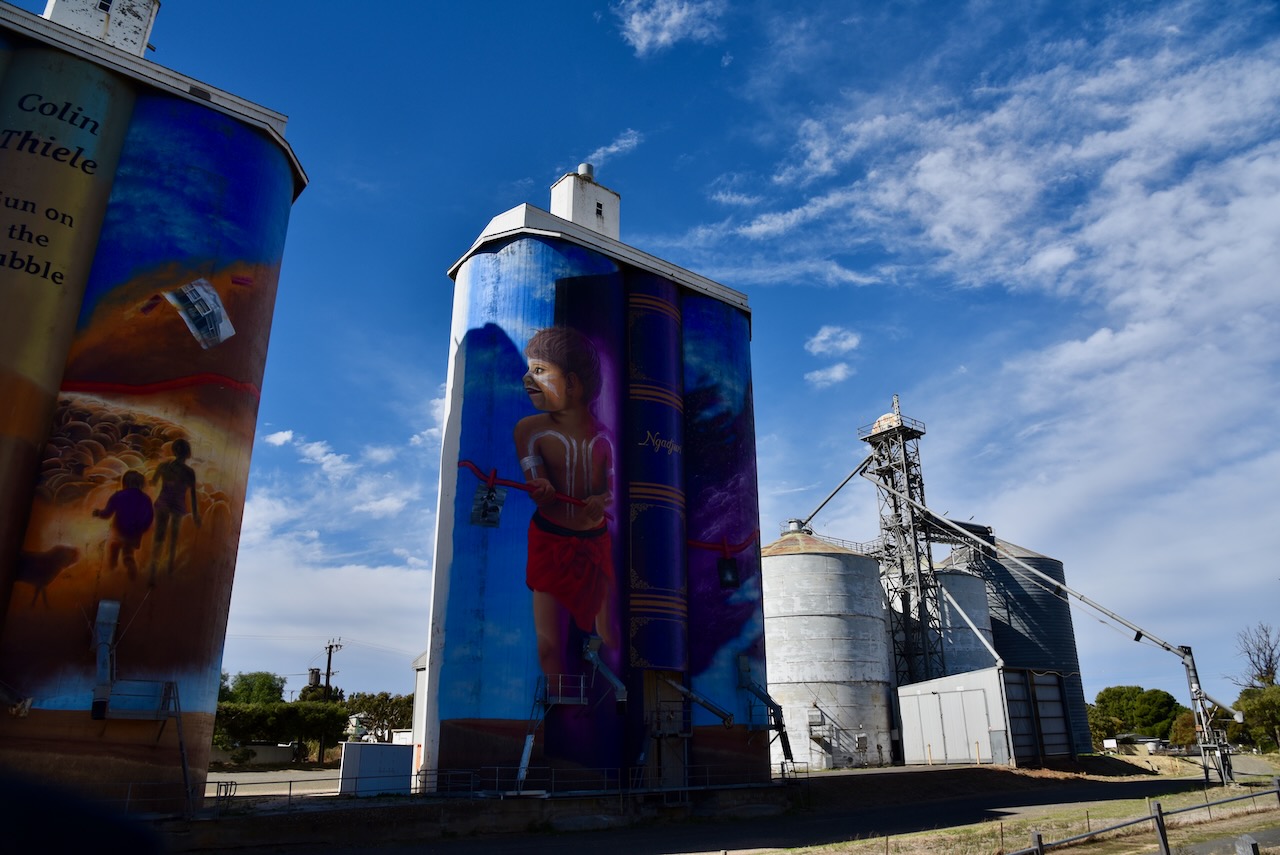
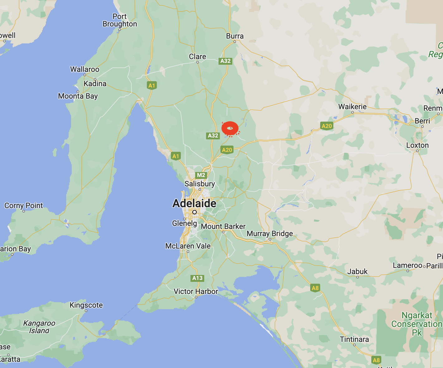
My next silo for 26th April 2023, was the Eudunda silo VK-EDA5. Eudunda is located about 110 km north of the city of Adelaide.
Above:- Map showing the location of Eudunda. Map c/o Google Maps.
After leaving Kapunda I headed north on the Thiele Highway. The highway extends from Hewett north of Adelaide to Morgan in the Riverland region of South Australia. It was named after famous author Colin Thiele who lived the majority of his life in the towns along the route of the Highway.
Much of the Thiele Highway follows the route of the old Morgan railway line, also known as the North-West Bend railway. The first section of this now unused railway line opened from Gawler north of Adelaide. It was constructed to service the copper mining activities at Kapunda and was opened on the 13th day of August 1860. On the 23rd day of September 1878, it was extended to Morgan in the Riverland region to provide a more efficient freight and passenger connection between the Murray paddle steamers and both the city of Adelaide and Port Adelaide for ocean transport.
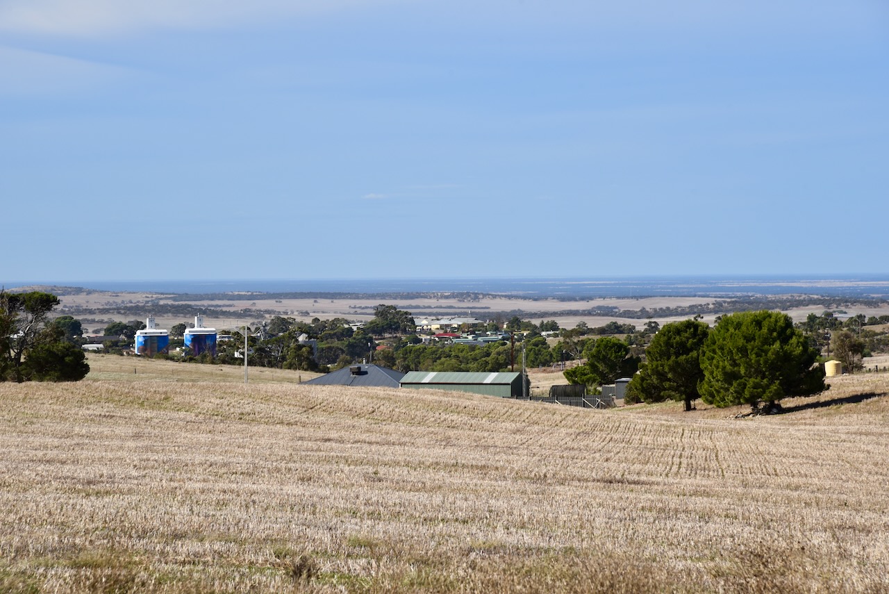
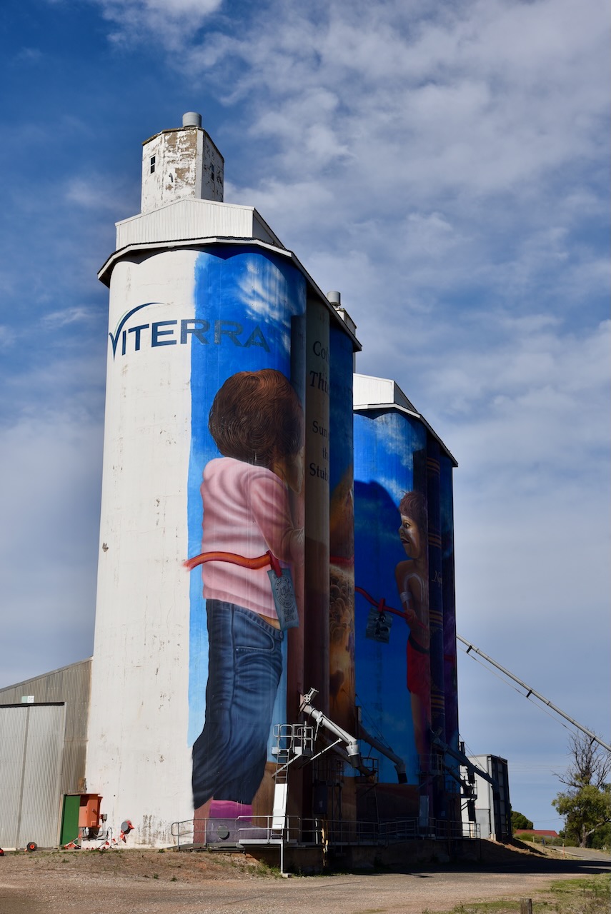
As I approached the town of Eudunda, I stopped briefly on the hill near the Curio Road intersection, to enjoy a view of the town. The painted silos were quite visible.
The town name of Eudunda is believed to originate from the name of a spring to the west of the town which still flows to this day, The spring was known by the local aboriginal people as judandakawi. which is believed to mean ‘sheltered water’. Alternative translations appear as Eudundacowi, Eudandakawi, or Eudundacowie. Local theories suggest that German pronunciation of the letter j led to the current pronunciation.
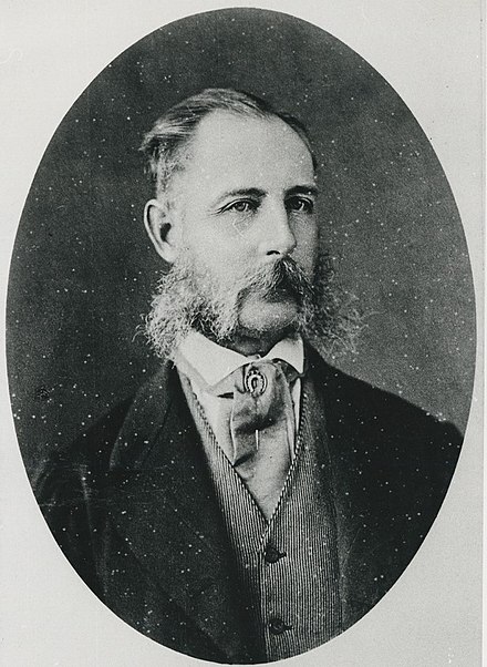
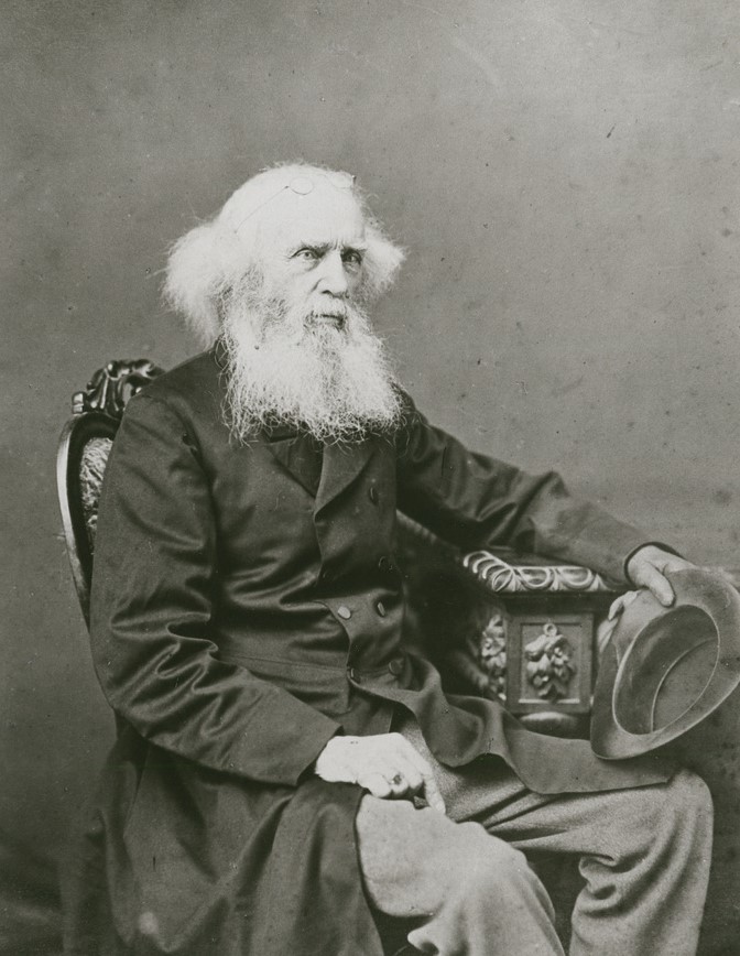
The earliest known European occupation of the Eudunda area was in the late 1830s with overlapping at Narcoota and the Narcoota Track. Pastoralists soon followed with large pastoral runs being taken up for sheep grazing. This included Lachlan McBean, Frederick Hansborough Dutton (b. 1812. d. 1890), and William Russell.
Above:- Frederick Dutton. Image c/o Wikipedia.
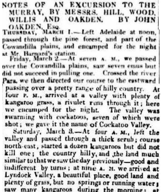
In March 1838, four young men, all aged in their twenties and all livestock importers, formed an exploration party in Adelaide with the intention of being the first to bring livestock from New South Wales to South Australia, following the Murray River. They were seeking to find a viable route through the Mount Lofty Ranges between Adelaide and the Murray River. These pioneers were John Hill (b. 1810. d. 1860), William Wood (b. 1813. d. 1885) and Charles Willis (b. 1815. d. 1886).
After leaving Adelaide the three men travelling on horseback with packhorses, travelled through the Barossa Valley, naming Cockatoo Calley, before continuing northeast through Nuriootpa to Eudunda. They continued through the scrub to the east of Eudunda to Morgan, and then back.
Above:- Part of an article from the South Australian Gazette and Colonial Register, Sat 17 Mar 1838. Image c/o Trove.
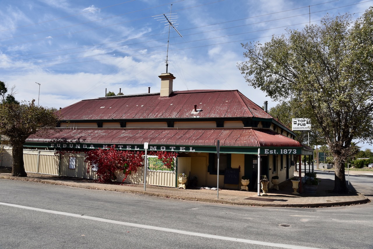
During the late 1860s, a wine store and bar was established on the site of Eudunda Hotel Motel, by a Quaker, Henry Watson. His bar serviced passing stockmen. The founder of Eudunda was John Henry Hannan, who owned the land that was surveyed and divided for sale. In 1874 the first trading general store in Eudunda, Appelt’s General Store in South Terrace, was opened by Friedrich Gotthilf Ernst Appelt. In 1878 railway services were introduced to Eudunda with the opening of the North-West Bend Railway to Morgan.
In 1895 a group of farmers and other interested parties, attended a meeting at Mann’s Hotel (the Eudunda Hotel) to discuss the sale of firewood, predominantly from the Myrray Flats. This was the foundation of the state-wide store franchise, Eudunda Farmer’s Co-Operative Society, which later formed Eudunda Farmers.
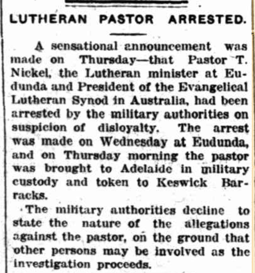
Eudunda has always had a strong German culture due to the early settlers. During the First World War, anti-German sentiment ran high through Australian society, and this resulted in a series of events in the little town of Eudunda.
In January 1915, local Lutheran Pastor, Pastor T. Nickel, was arrested for having communicated with the then Attorney-General of South Australia, Hermann Homburg, regarding matters of naturalization. On the 12th day of February 1915, Citizen’s Forces raided the homes and businesses of local German-born and Australian-born residents. Sentries were posted outside the town stopping travellers in and out.
Above:- Article from the Border Watch, Sat 16 Jan 1915. Image c/o Trove
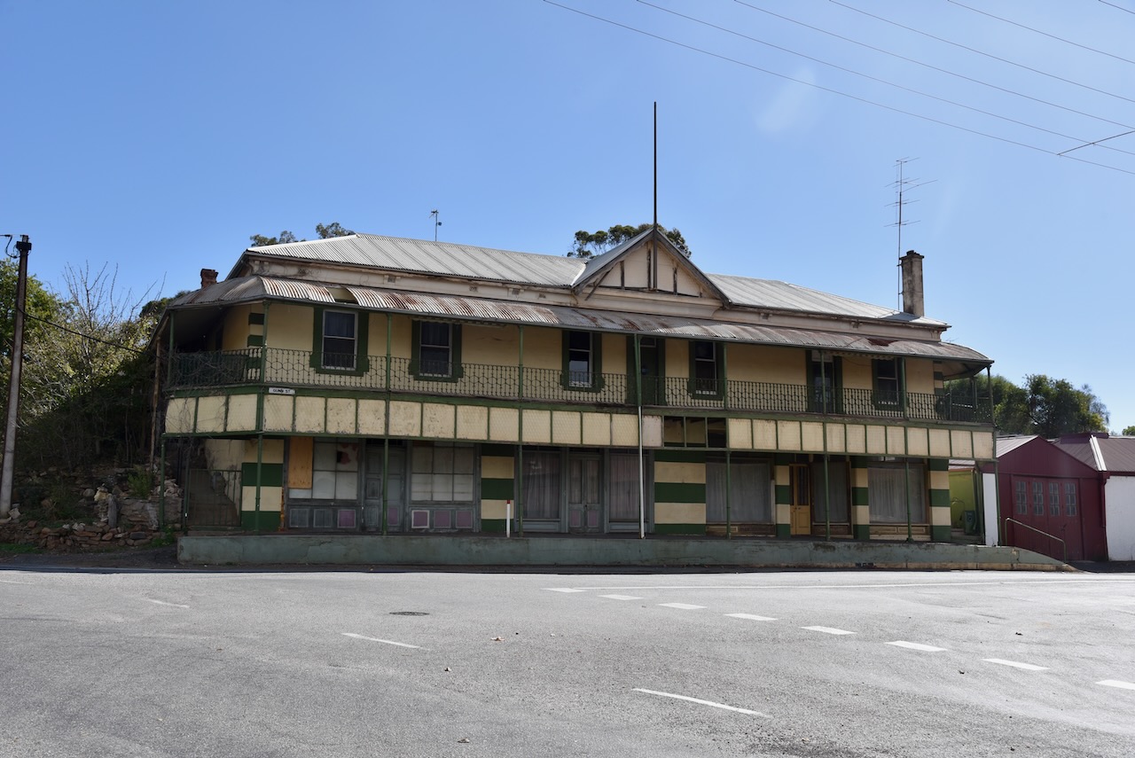
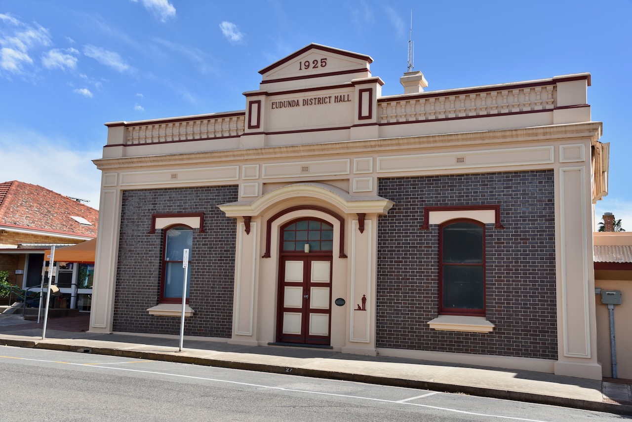
Eudunda has a number of historic buildings and I took a few minutes to stroll up and down the main street.
World-renowned author Colin Thiele was born at Mutter Knabe’s Nursing Home in Eudunda on the 16th day of November 1920. Thiele wrote more than 100 books, which often described life in rural Australia, particularly the Eudunda, Barossa Valley, and Murray River/Coorong regions of South Australia. Several of his books have been made into films or television series, including Sun on the Stubble, The Fire in the Stone, Blue Fin and Storm Boy.
Eudunda once had a thriving railway station which was located on the Morgan railway line from 1878 until it closed. From 1914, it was the junction station for a branch running north past Point Pass to Robertstown. Today the beautiful old Eudunda railway station remains intact sitting behind a wire fence, opposite the silos.
Below is a great video on the old railway line from Eudunda to Robertstown.
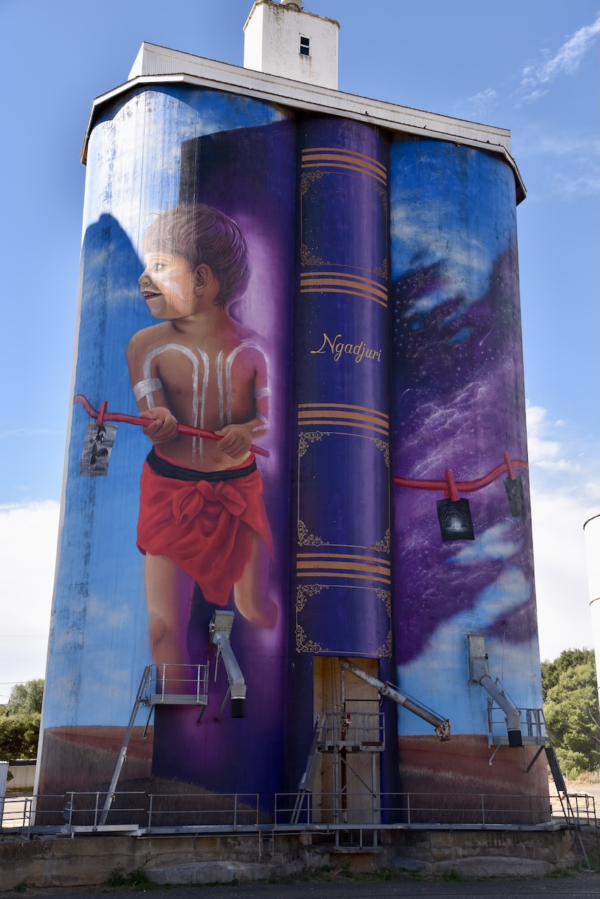
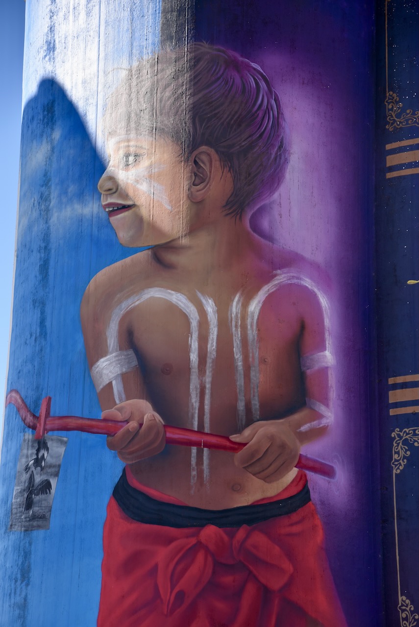
The Eudunda silos were painted by artist Sam Brooks and were completed in September 2021. The murals feature children reading Colin Thiele’s book including a young Ngadjuri aboriginal child. Brooks said that his work “tells a story about two children, sharing stories about their past and their culture. These two children use these local books as a way to teach each other about their history, culture and connections to the area.”
Below is a great video of the silos as seen by air in a drone.
I set up in the car park adjacent to the silos and operated from the 4WD, running the Icom IC-7000, 100 watts, and the Codan 9350 (1.5 m stainless steel whip). It was great to get four World Wide Flora Fauna (WWFF) park activators in the log.
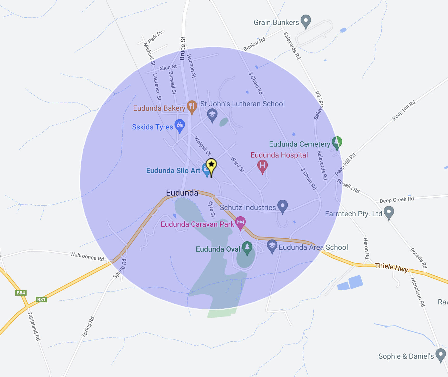
Above:- Map showing the activation zone at the Eudunda silo. Map c/o SiOTA website.
I worked the following stations on 40m SSB:-
VK5MAZ
VK3FLAK
VK4EMP/p (Dthinna Dthinnawan National Park VKFF-0587)
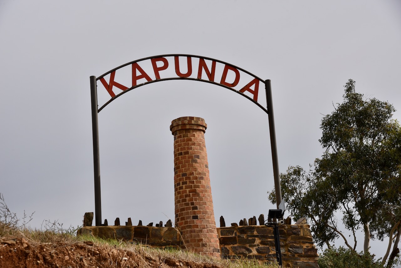
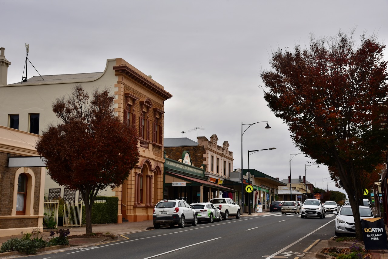
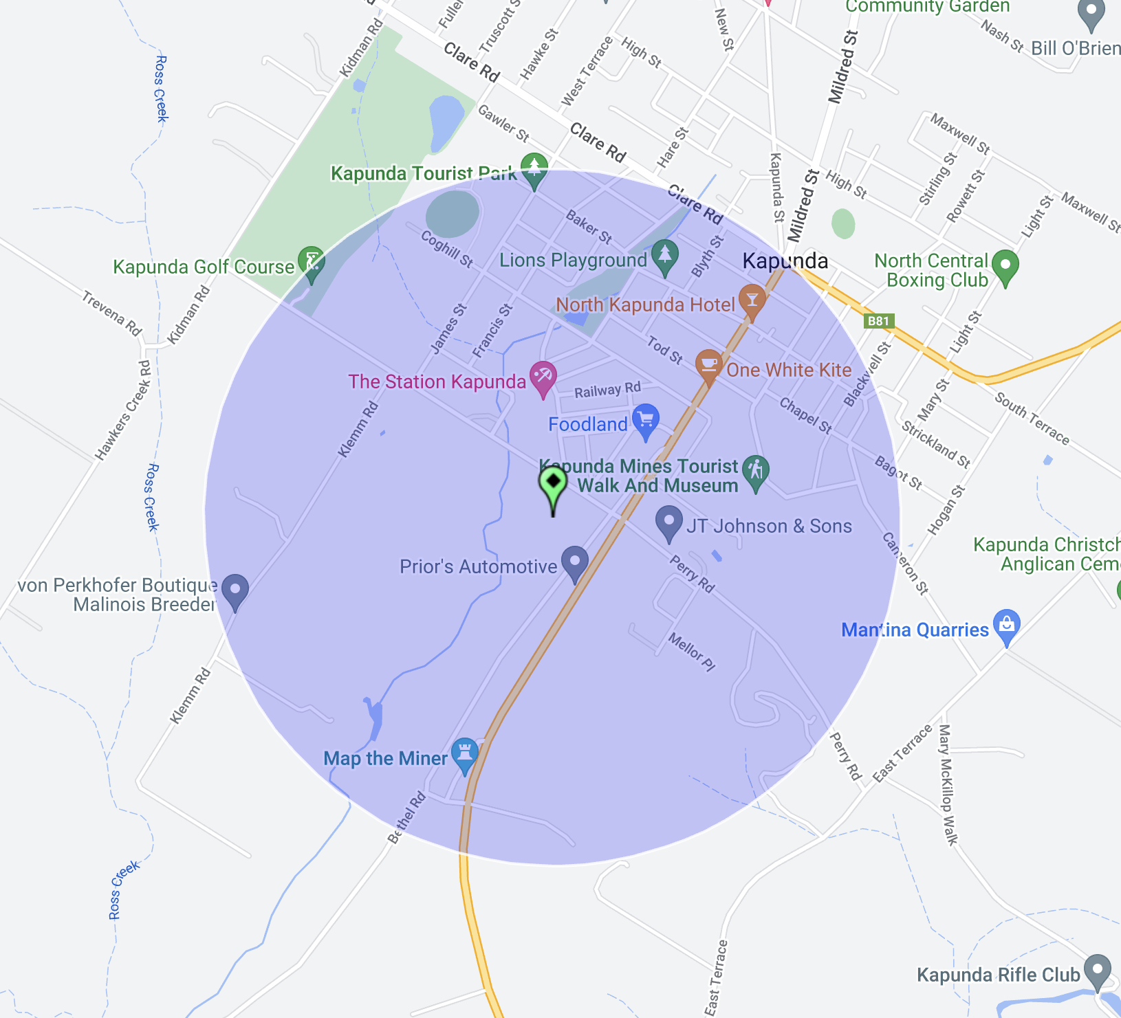
On Wednesday 26th April 2023, I headed up to Kapunda in the Mid-North of South Australia to visit a cousin. I decided that whilst up there I would activate a number of silos for the Silos On The Air (SiOTA) program.
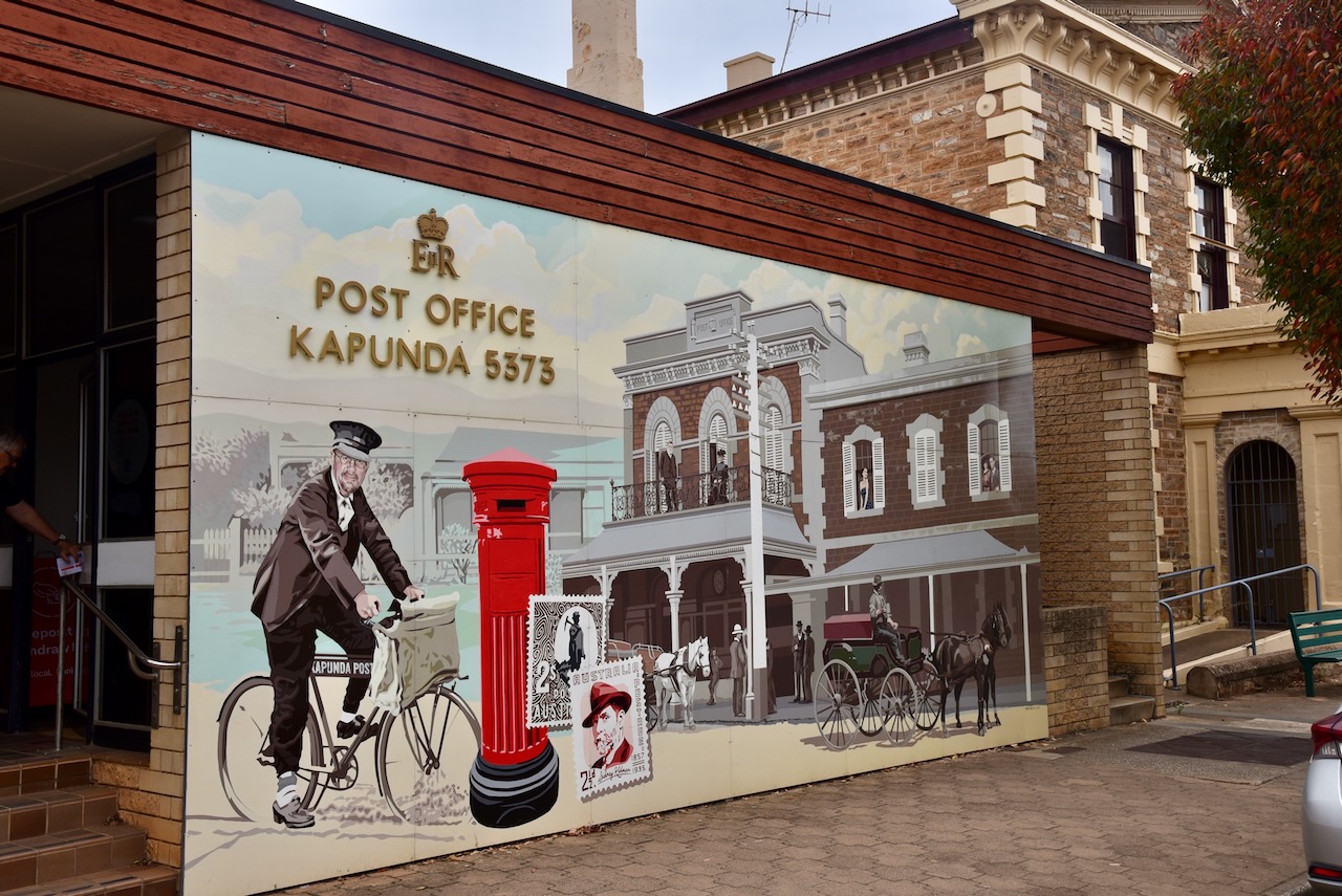
My first silo for the day was the Kapunda silo VK-KPA5. Kapunda is about 84 km north of the city of Adelaide.
Above:- Map showing the location of Kapunda. Map c/o Google Maps.
Kapunda is a small town that was established in 1842 following the discovery of significant copper deposits. The town is located on the Light River, named after Colonel William Light, the first Surveyor General of South Australia.
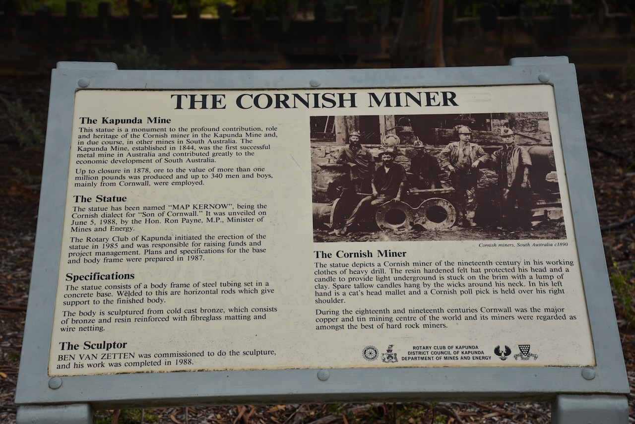
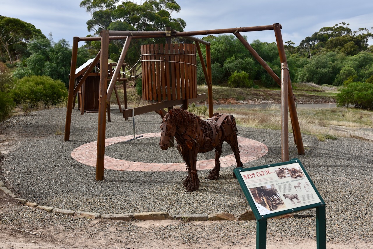
The southern entrance to Kapunda is dominated by Map Kernow ‘the son of Cornwall’, an 8-metre tall statue of a traditional Cornish miner. The statue was erected in 1988 and in 2006 it was destroyed by fire but has been rebuilt.
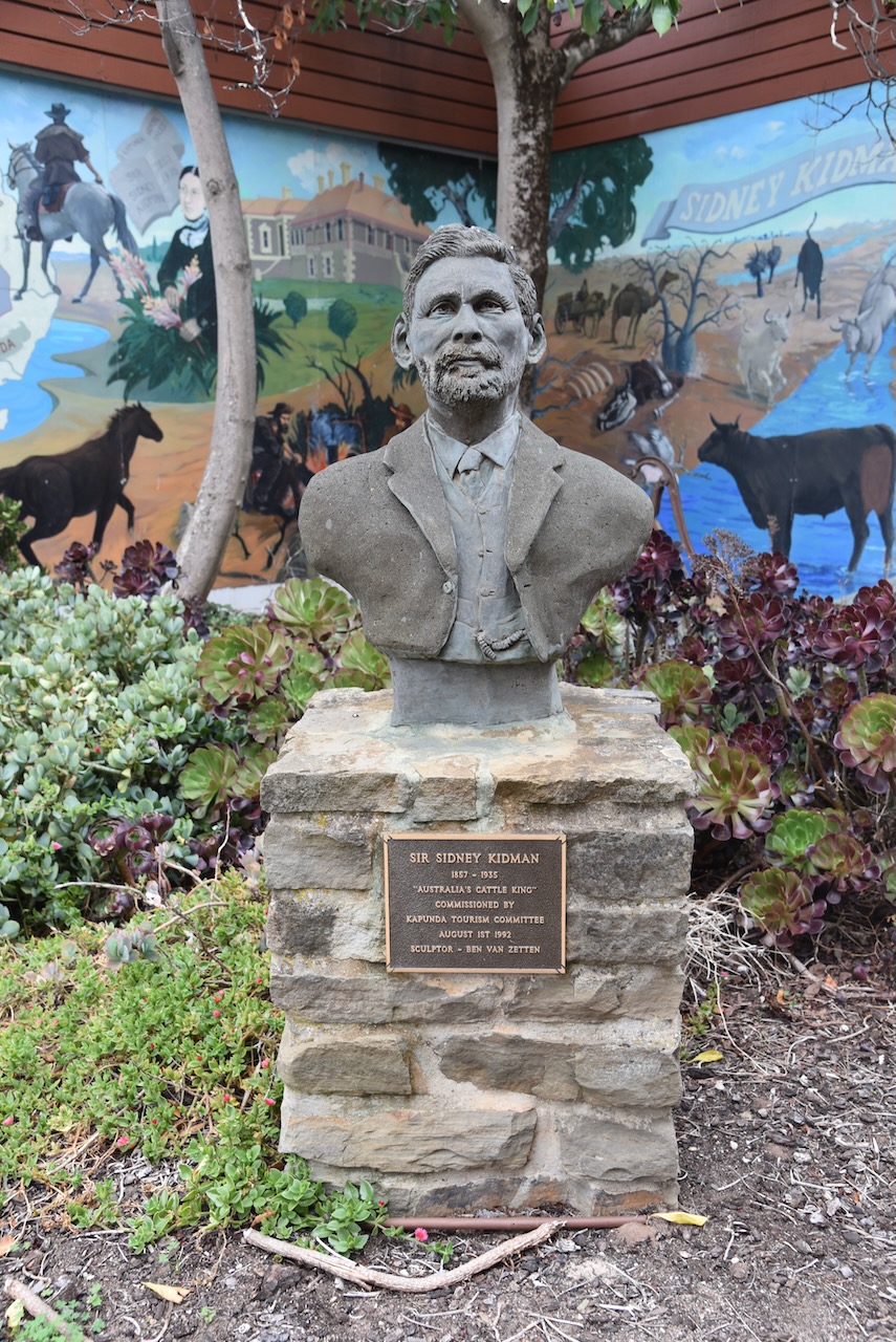
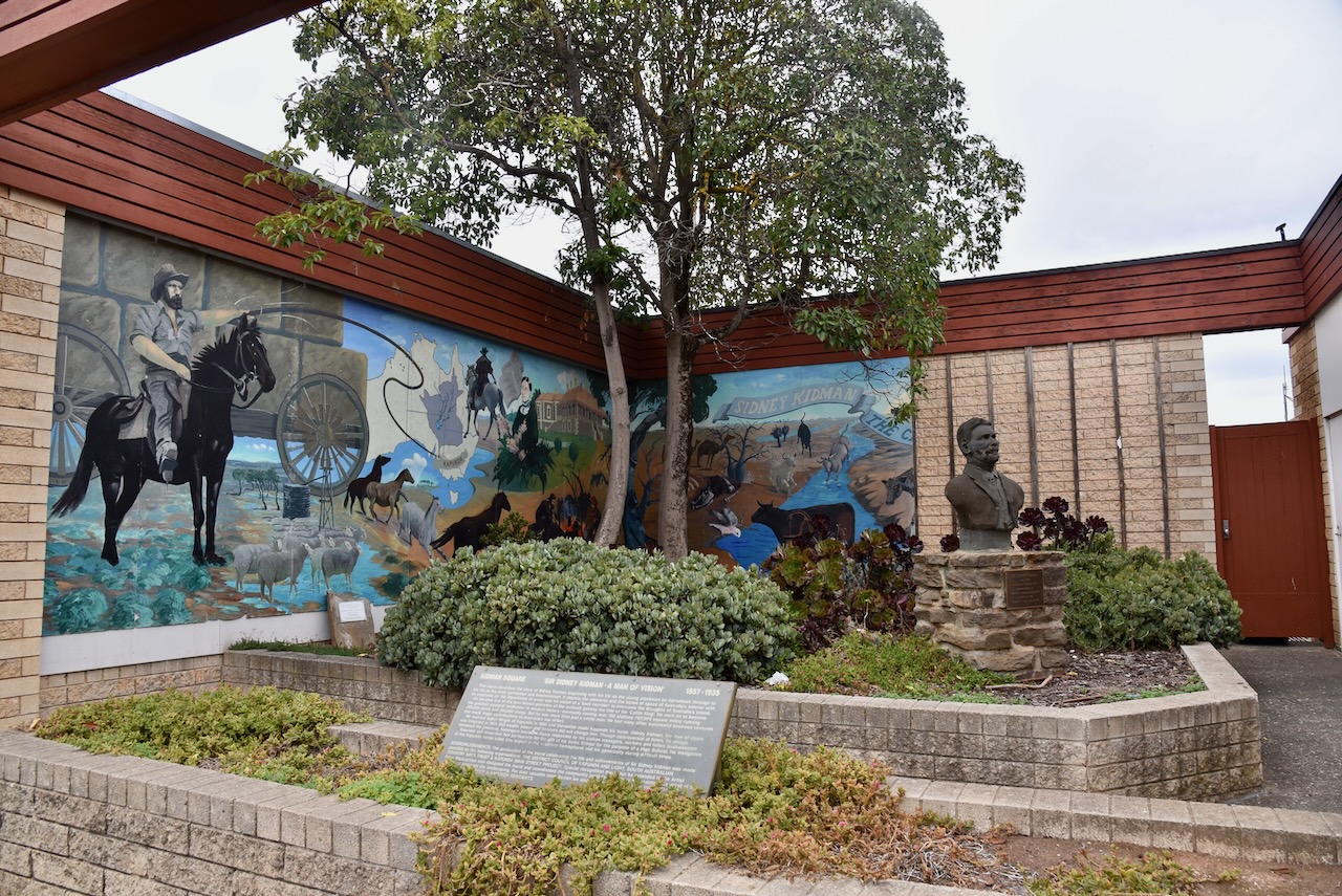
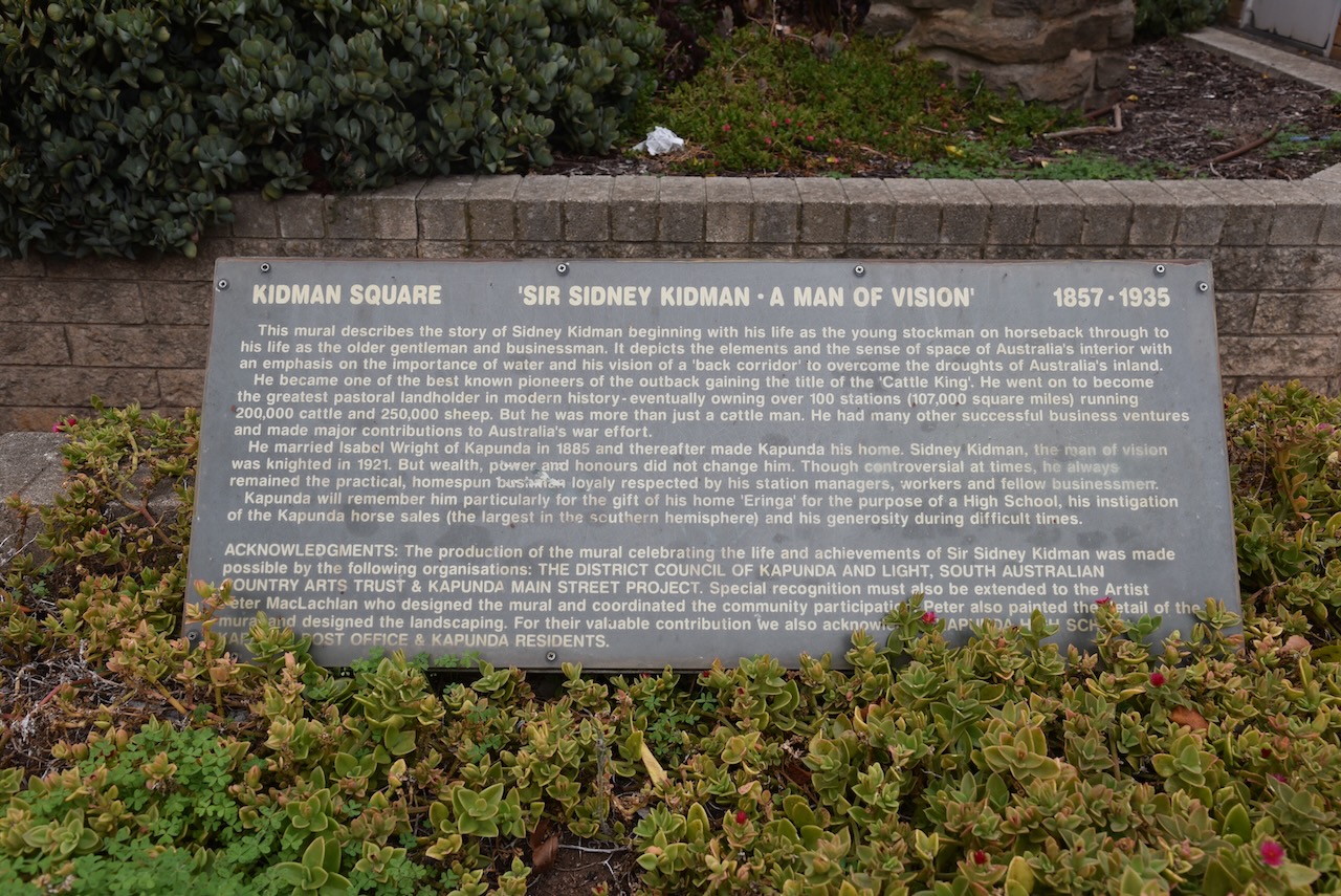
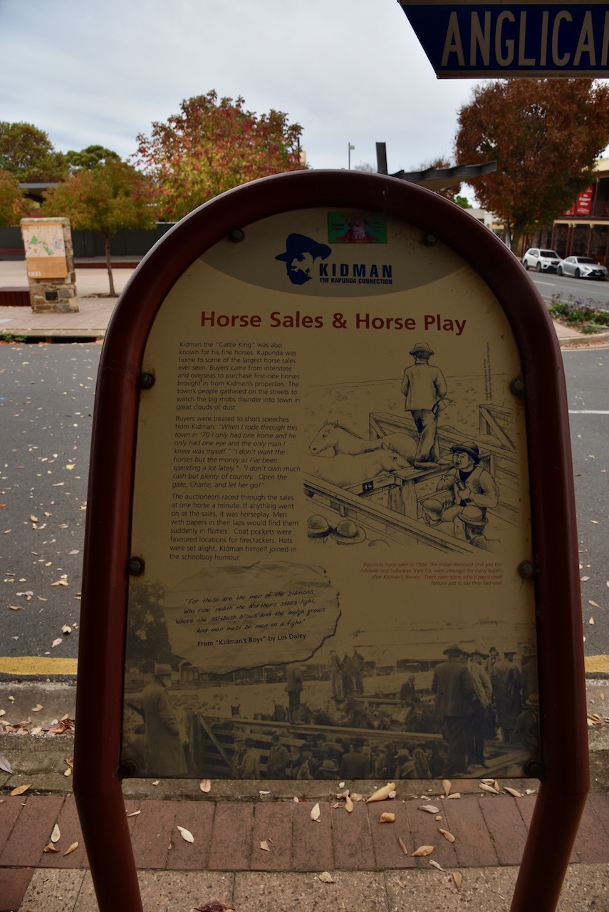
Kapunda is known for being the home of Sir Sidney Kidman (b. 1859. d. 1935), a major cattle pastoralist. At one stage Kidman owned 68 properties which had a total area larger than the British Iels. Kidman held annual horse sales at Kapunda where up to 3,000 horses were sold each week.
In 1921, his property Eringa was donated to the South Australian Education Department and it was used as the administration building at the Kaounda High School. In March 2022 it was gutted by fire.
I drove to the Kapunda lookout at the end of West Street and enjoyed the great view of this historic little town.
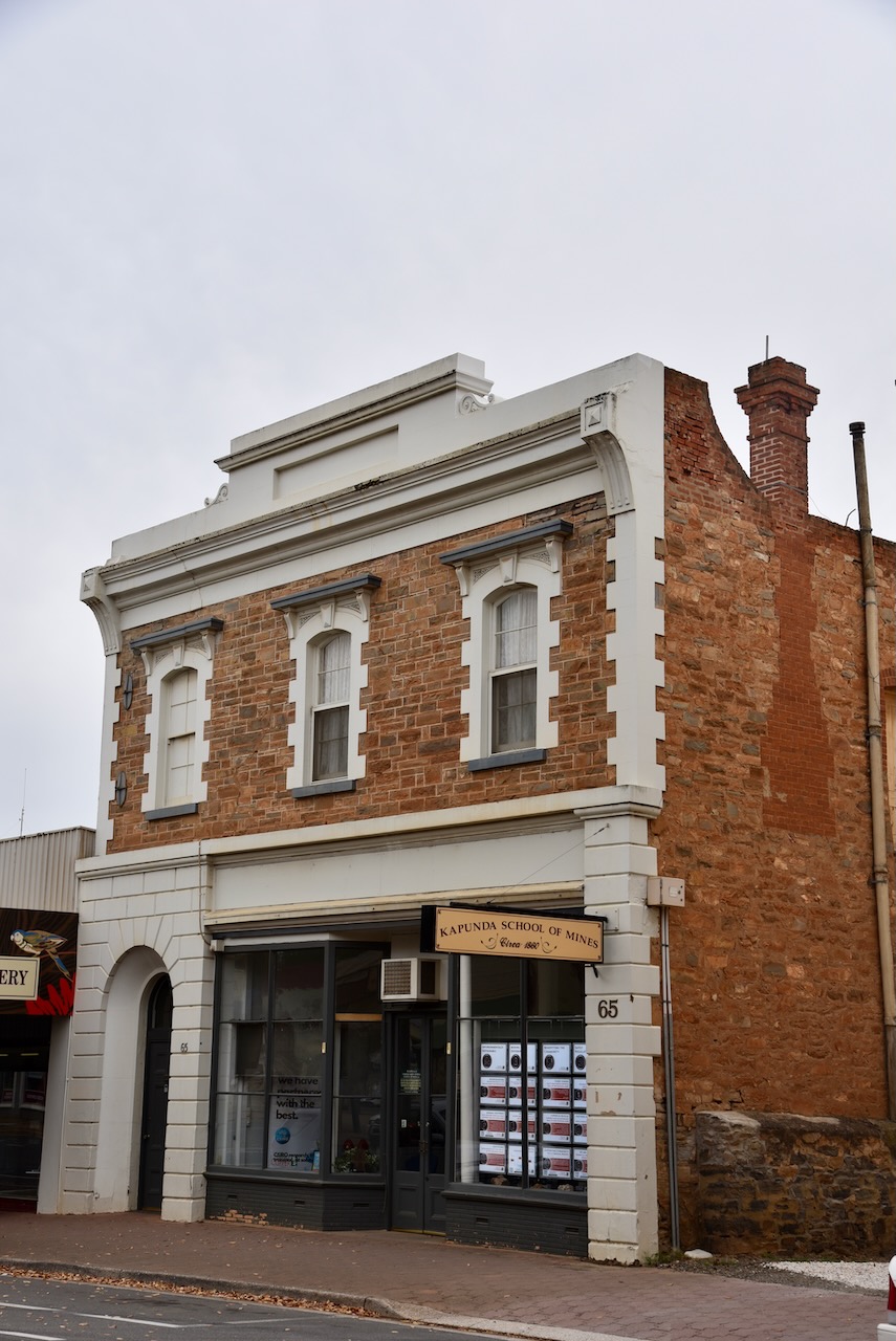
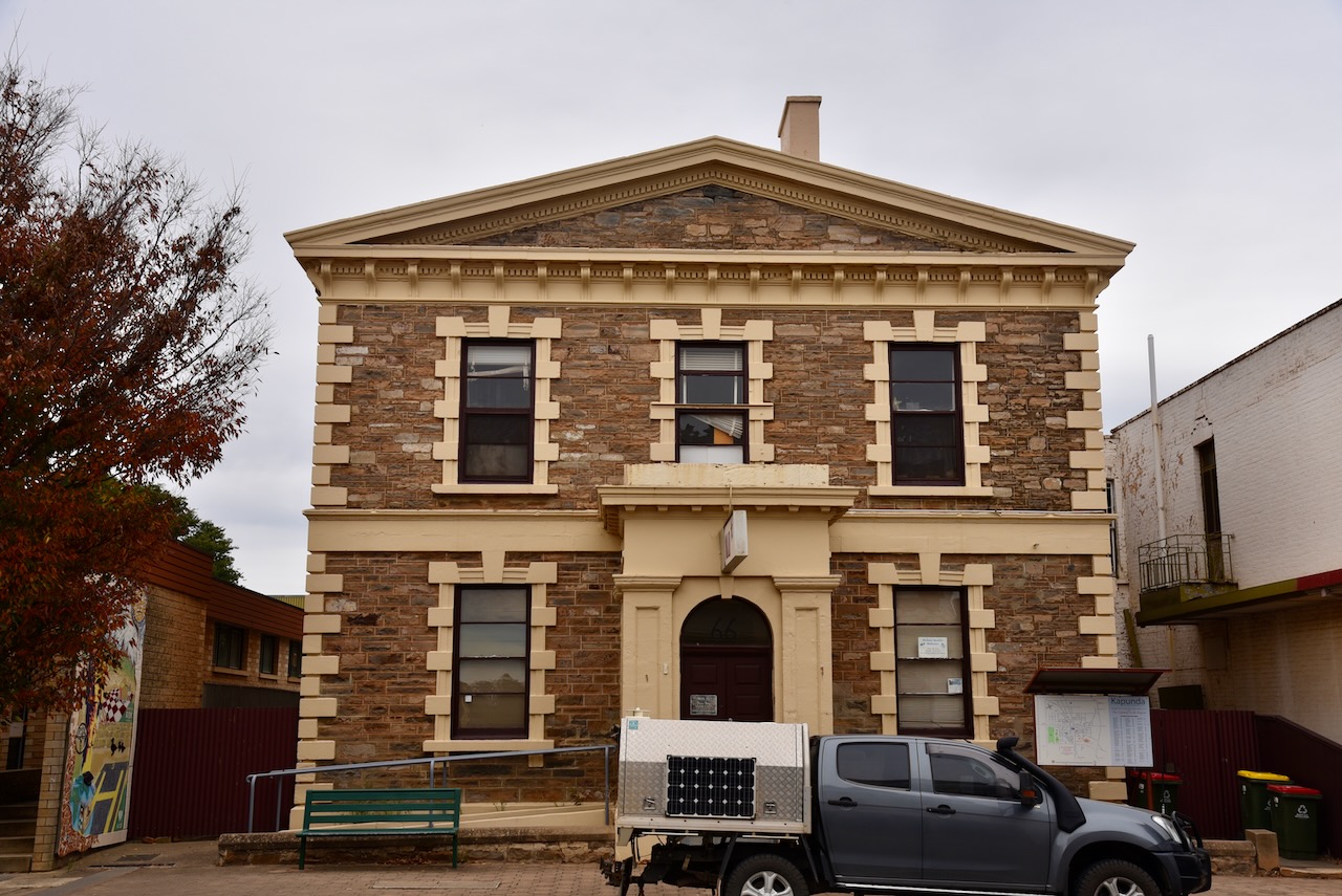
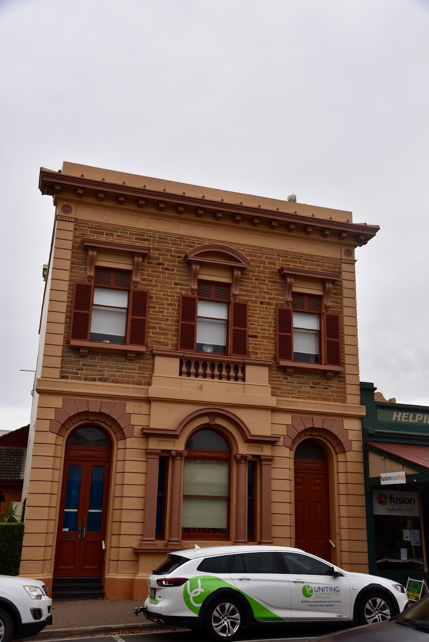
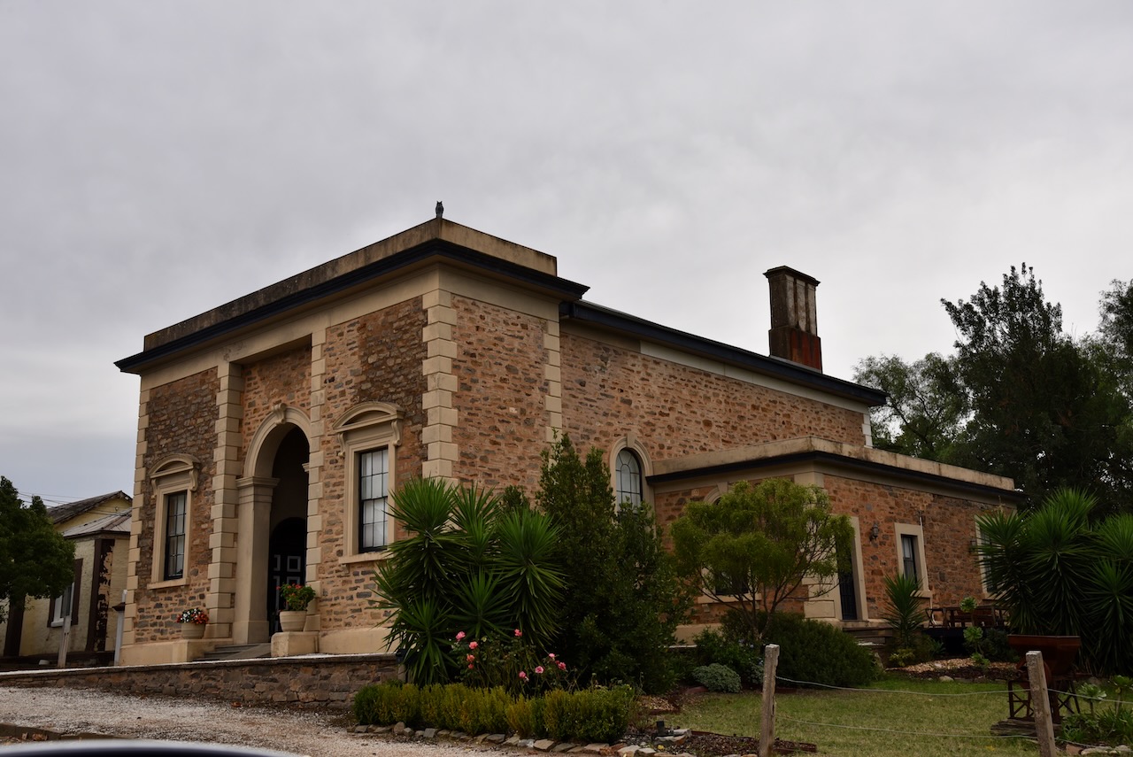
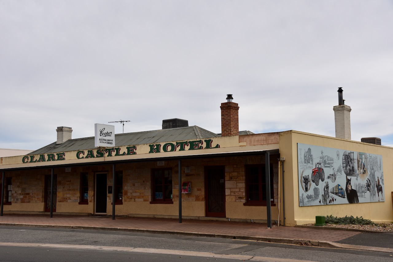
Kapunda has a number of historic buildings and a beautiful main street which I wandered up and down for a little while before heading to the silo.
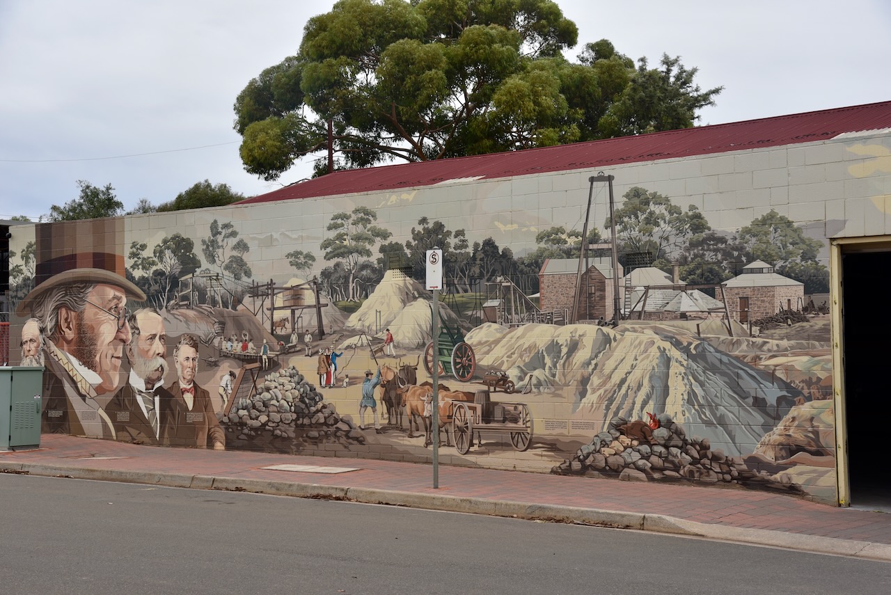
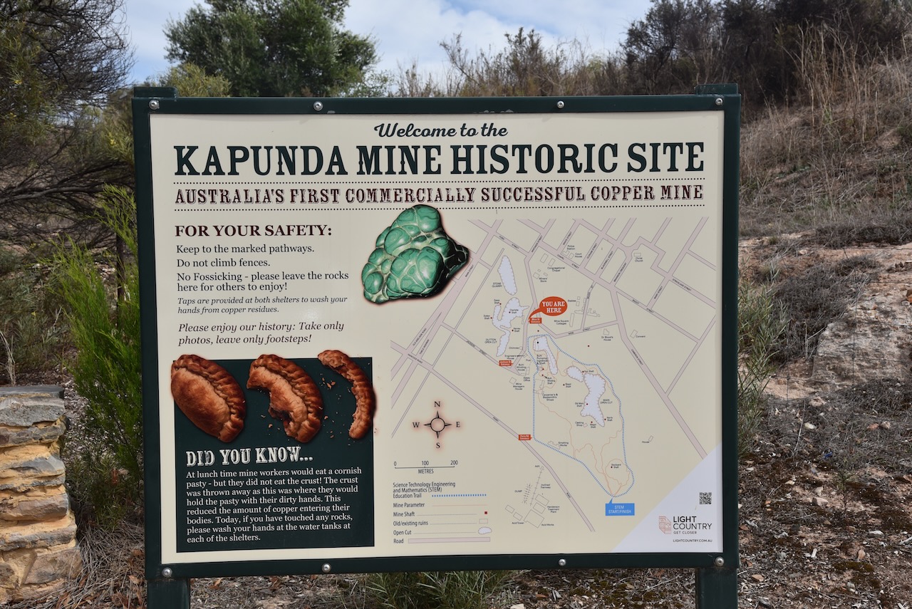
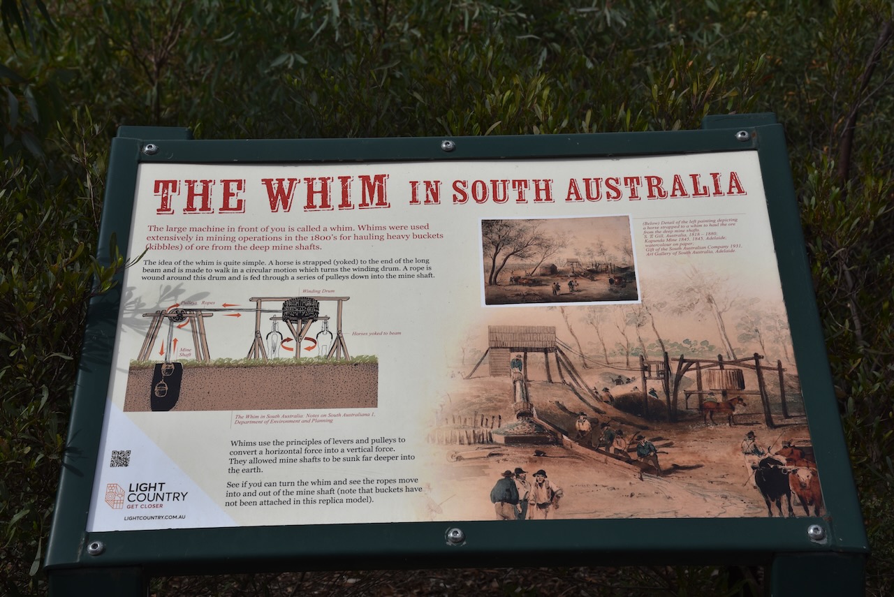
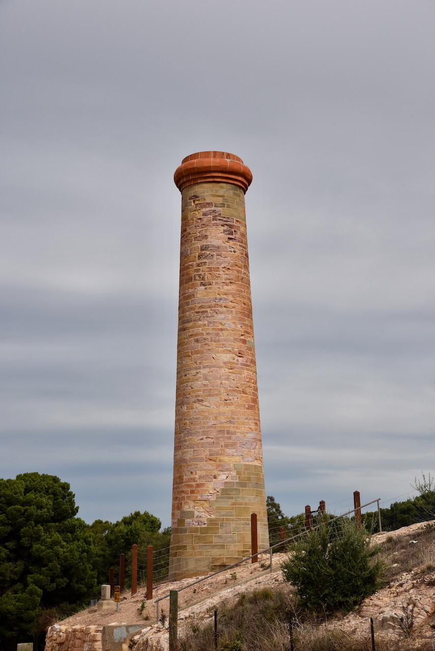
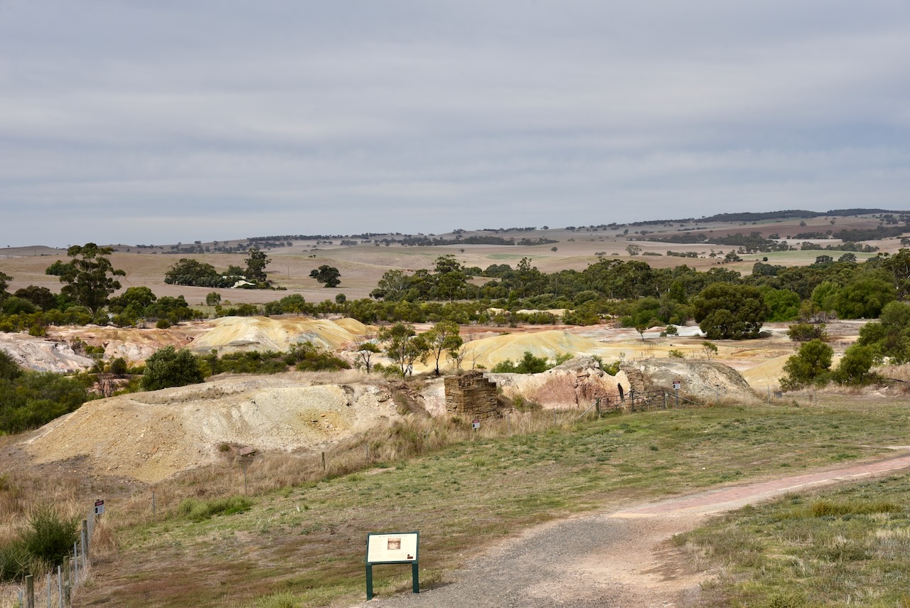
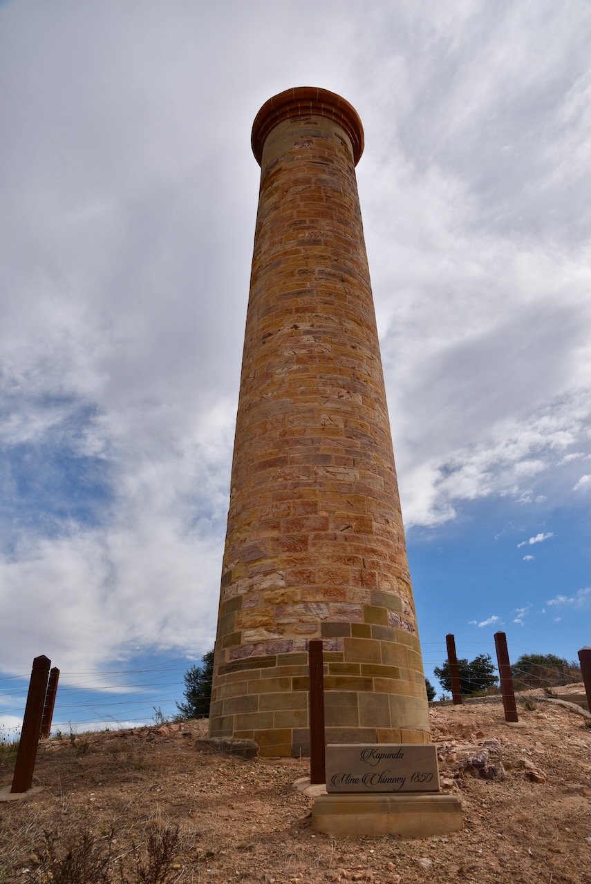
And of course, no visit to Kapunda is complete, unless you visit the Kapunda historic mine site. This was Australia’s first commercially successful copper mine.
In 1842 copper ore outcrops were discovered in the Kapunda area by Francis Dutton and Charles Bagot, who both ran sheep in the district. A total of 80 acres was purchased around the outcrop and mining commenced in early 1844 following good assay reports. Copper was mined until 1879. Quarries located near the town also provided fine marble ranging from dark blue to white. This was used to face Parliament House in Adelaide.
Above:- Francis Dutton (left) and Charles Bagot (right). Image sc/o Wikipedia.
The Kapunda silos are located on the southern side of Hancock Road in the town. It is located on the old section of the Morgan (North-West bend) railway line built in 1860 to service the copper mining at Kapunda.
I parked directly opposite the silos. There was a little bit of noise on the bands, as I was in the middle of the town. I operated from the 4WD, running the Icom IC-7000, 100 watts, and the Codan 9350 antenna (1.5 m stainless steel whip). The highlight of this activation was working Doug VK9LF on Lord Howe Island.
Above:- The activation zone at the Kaunda silo. Image c/o SiOTA website.
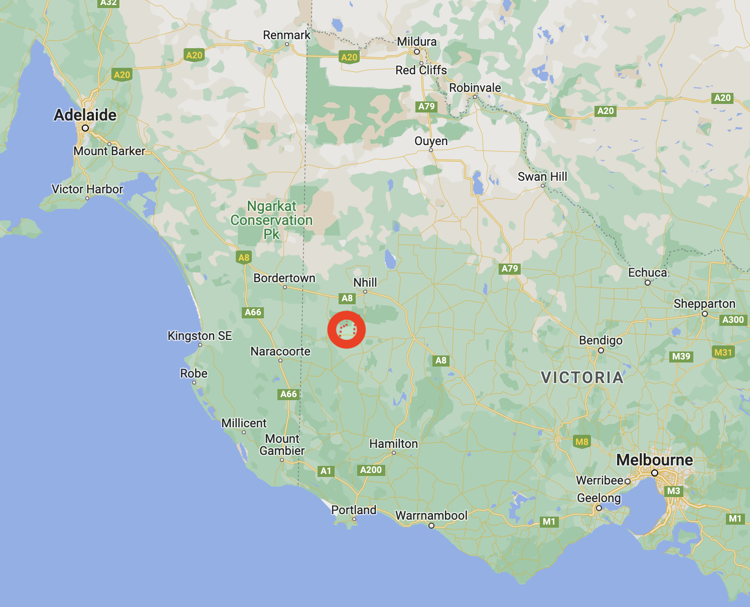
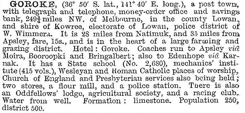
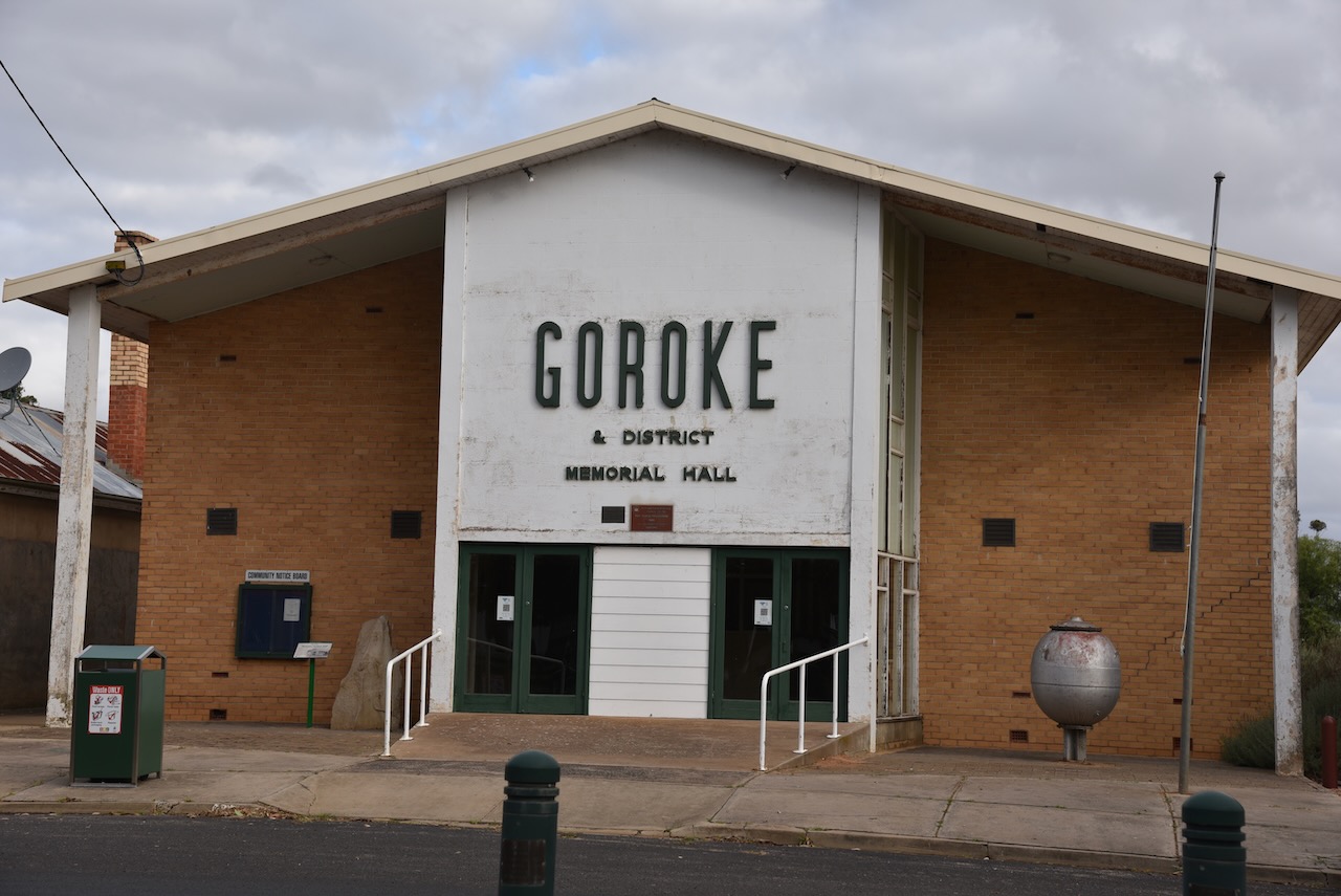
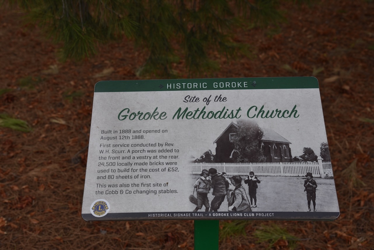
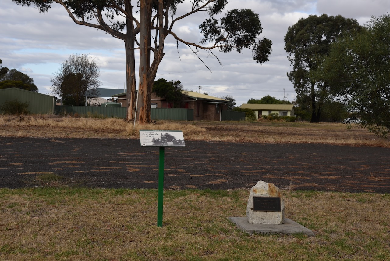
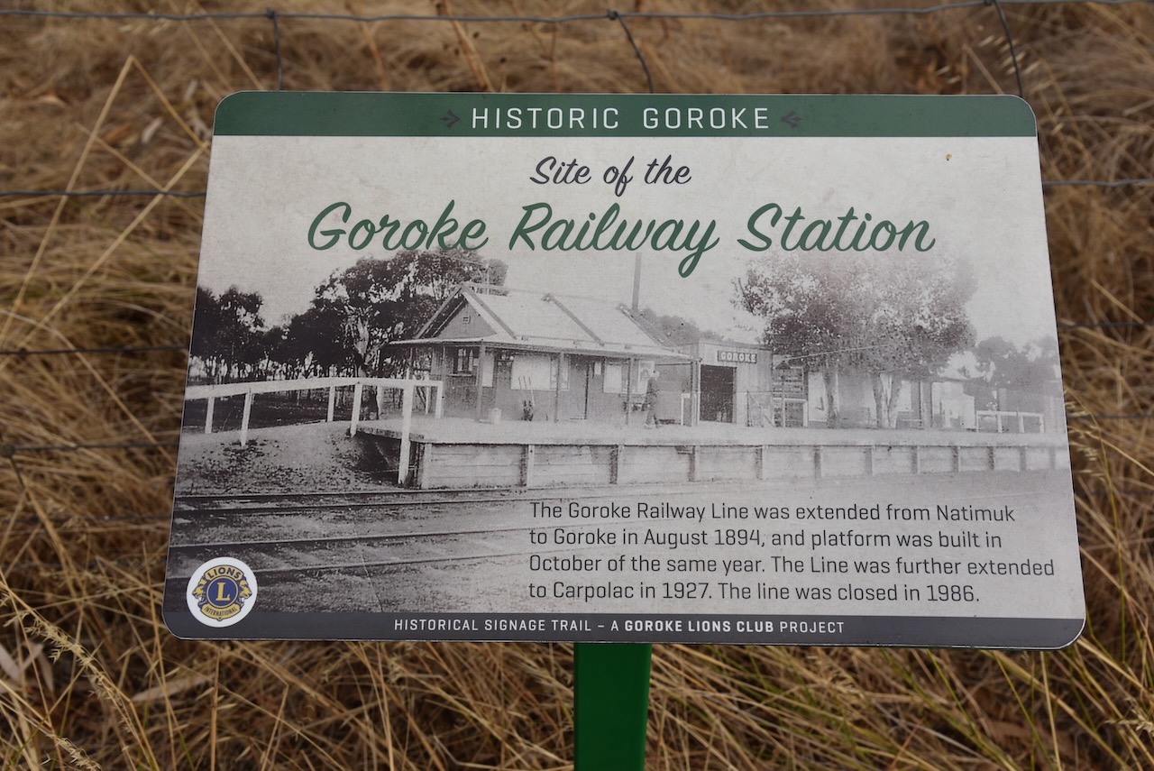
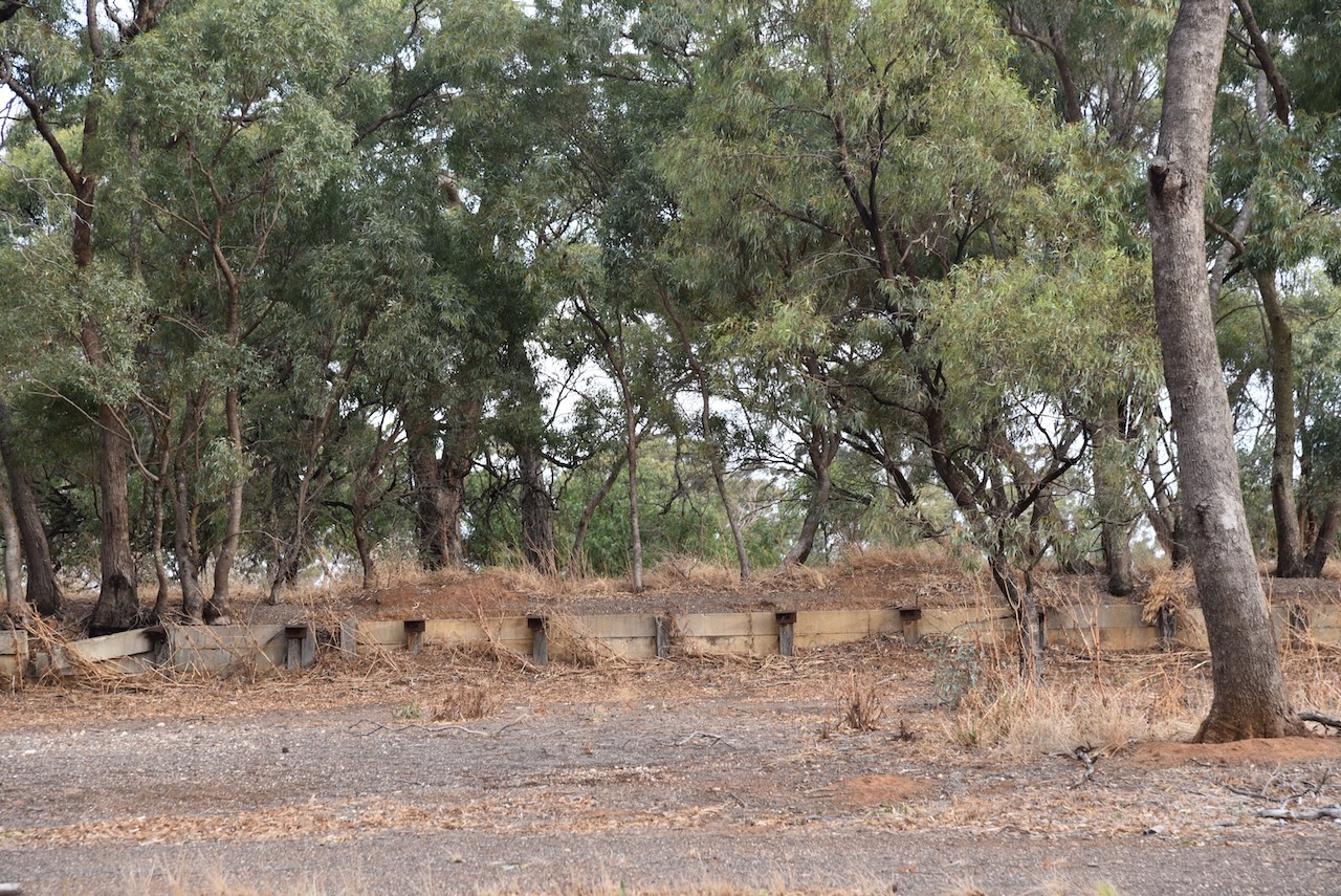
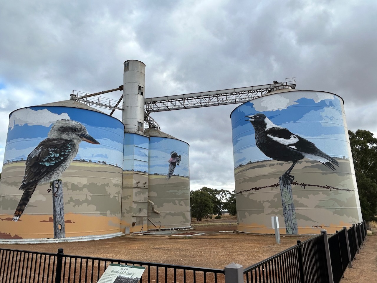
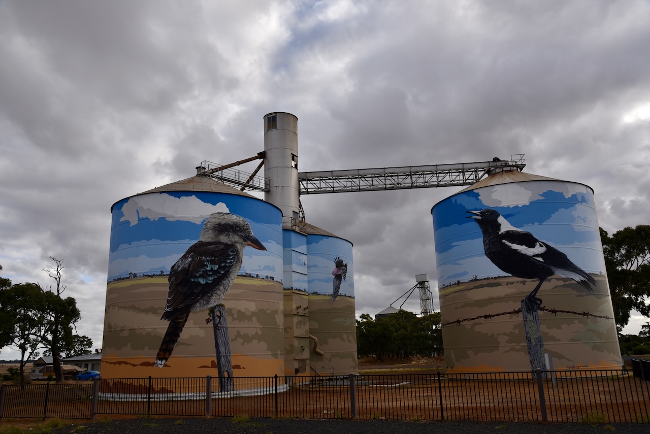
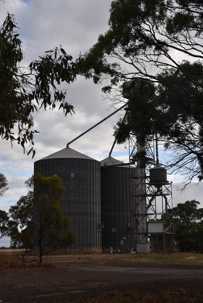
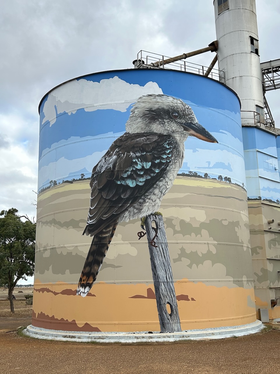
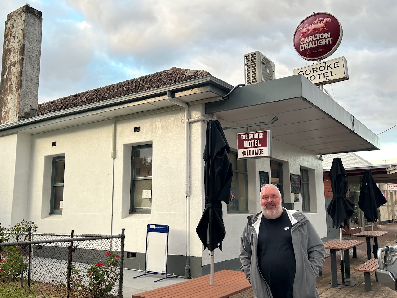
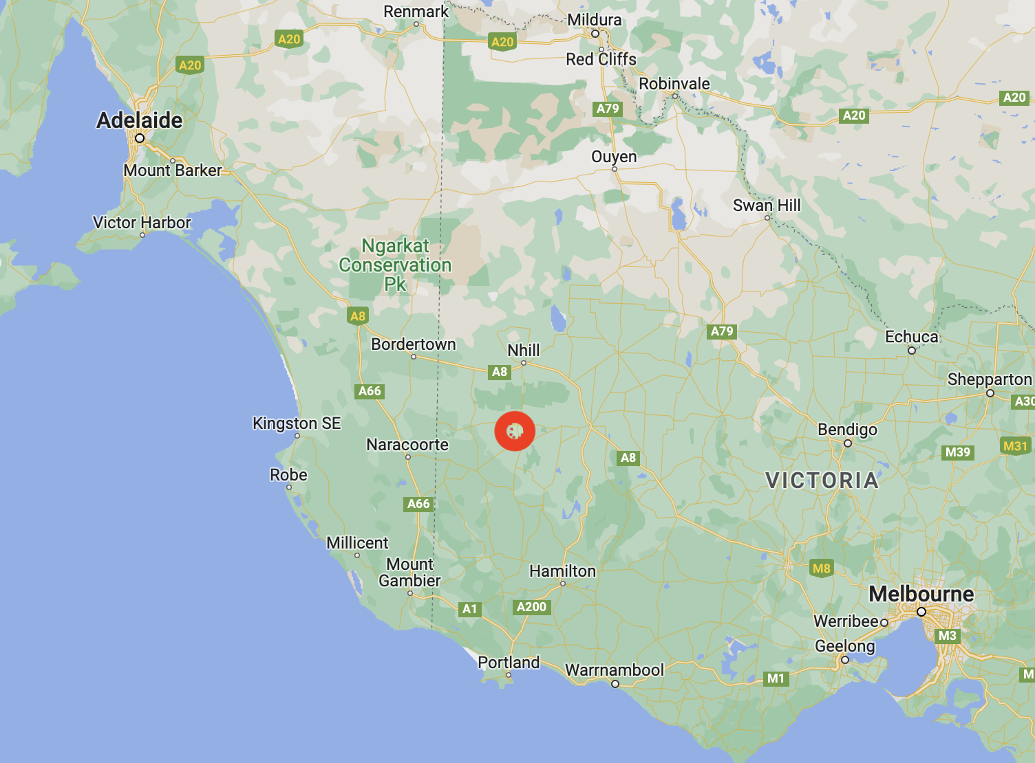
Our final activation for the trip (8th March 2023) was the Goroke silo VK-GRE3. Goroke is located in the Wimmera district of Victoria, about halfway between Horsham and the South Australian State border.
Above:- Map showing the location of Goroke. Map c/o Google Maps.
Goroke is believed to be an aboriginal word meaning magpie.
The Goroke area was settled in the mid-1840s by a number of pastoral runs. By the 1870s farm allotments were taken up in the Goroke area. In 1882 the Goroke township was surveyed. In 1885 a school was opened. Within a few years, Goroke had stores, a flour mill, a hotel, and a mechanics institute.
In 1903 Goroke was described in the Australian Handbook as follows:
Today the town of Goroke is based around primary production, including wool growing, fat lamb and mutton production.
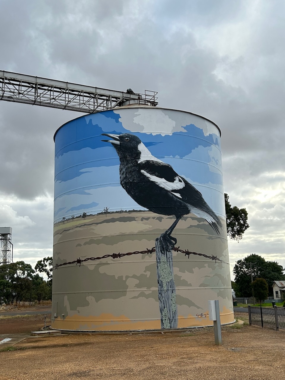
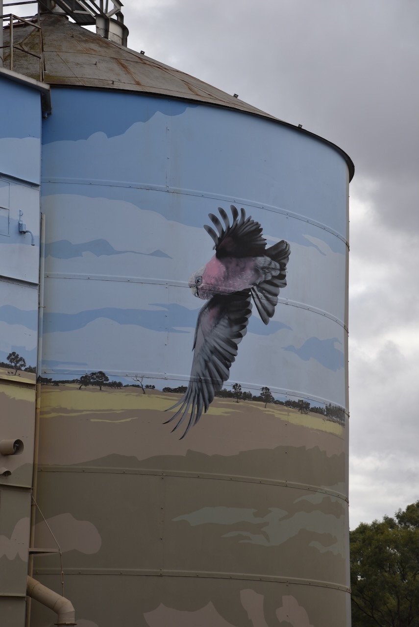
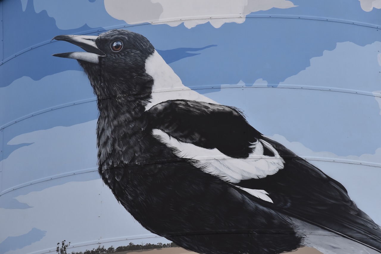
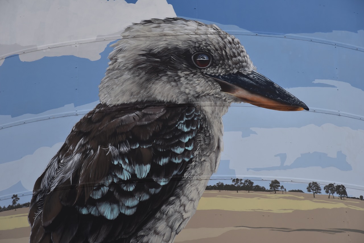
The Goroke silo is a silo mural and was painted by artist Geoffrey Carran. He was inspired by the birdlife in the West Wimmera Shire. As Goroke is an aboriginal word for magpie, the Australian Magpie features heavily on the silos. Other native birds featured on the silos include the Kookaburra and Galah. The silo was completed in late 2020 and took about seven weeks to complete. The Kookaburra and Magpie are both more than 10 metres in height.
Marija and I operated from the 4WD for this activation in the carpark adjacent to the silos.
Above:- the silo activation zone at Goroke. Image c/o SiOTA website.
Marija worked the following stations on 40m SSB:-
VK1AO
VK2MET
VK3SMW
VK3PF
I worked the following stations on 40m SSB:-
VK1AO
VK2MET
VK3SMW
VK3PF
VK5CZ
VK5HS
VK2IO
VK3EIR
VK5NZ
VK2MOE
VK2VKB
VK3MDC
VK3DX
VK2YK
VK5GA
VK7FGGT
VK3SKT
It was late and we were getting hungry, so we decided to have a meal at the Goroke Hotel. We were not disappointed….the meal was very nice.
We then continued home, about a 3 hour & 50-minute drive.
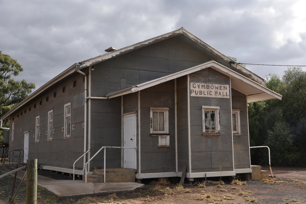
Marija and I left the town of Mitre (8th March 2023) and we travelled west on the Natimuk-Frances Road to our next silo, the Gymbowen silo VK-GYN3.
Above:- Map showing the location of Gymbowen, Victoria. Map c/o Google Maps.
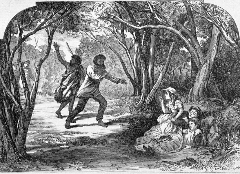
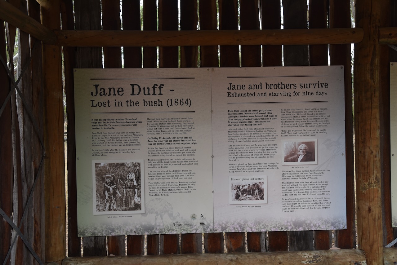
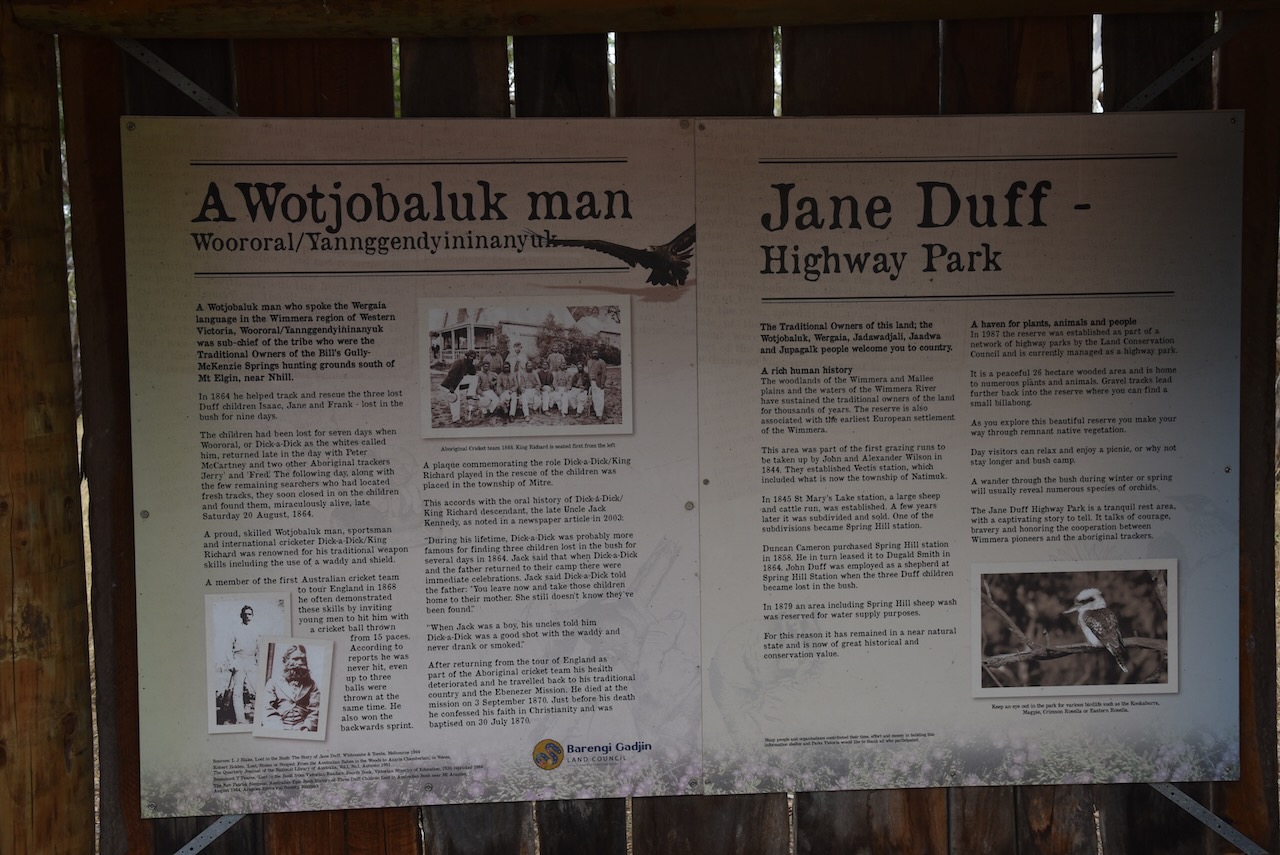
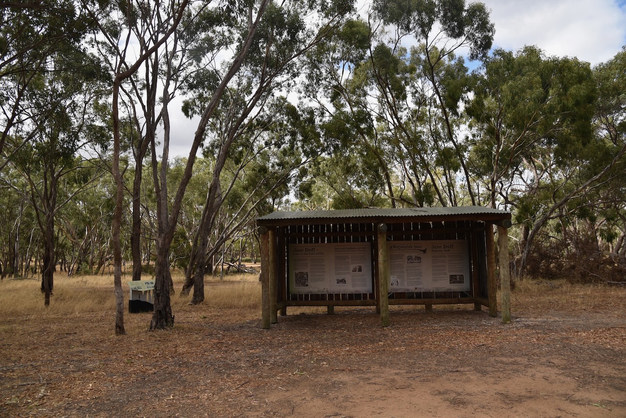
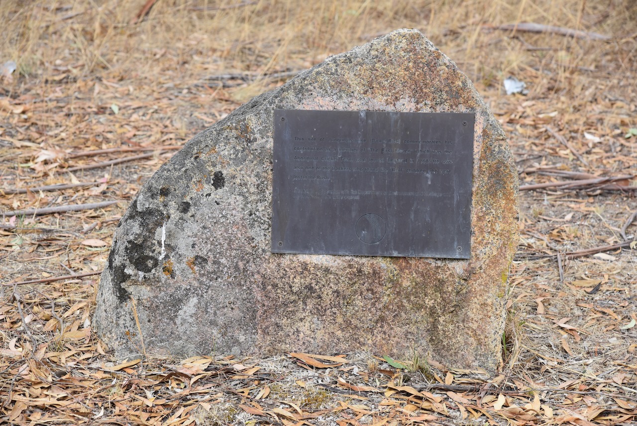
We stopped briefly at Jane Duff Highway Park. On Friday the 12th day of August 1864, seven-year old Jane Duff and her nine-year old brother Isaac and four-year old brother Frank, set out to gather twigs. They remained lost in the bush for nine days until they were located by aboriginal trackers.
Above:- the discovery of the Duff children. Image c/o Aussie Towns Facebook site.
There is an excellent monument and information board that tells this amazing story of survival.
In 1882 the Post office at Gymbowen was opened. The Gymbowen school was opened in 1891. A hotel was opened some years earlier. Gymbowen served as a coach changing stage. The railway line reached the town by 1894 and was closed in 1986.
Marija and I parked on Hennesseys Road and operated from the 4WD.
Above:- The activation zone at the Gymbowen silo. Image c/o SiOTA website.
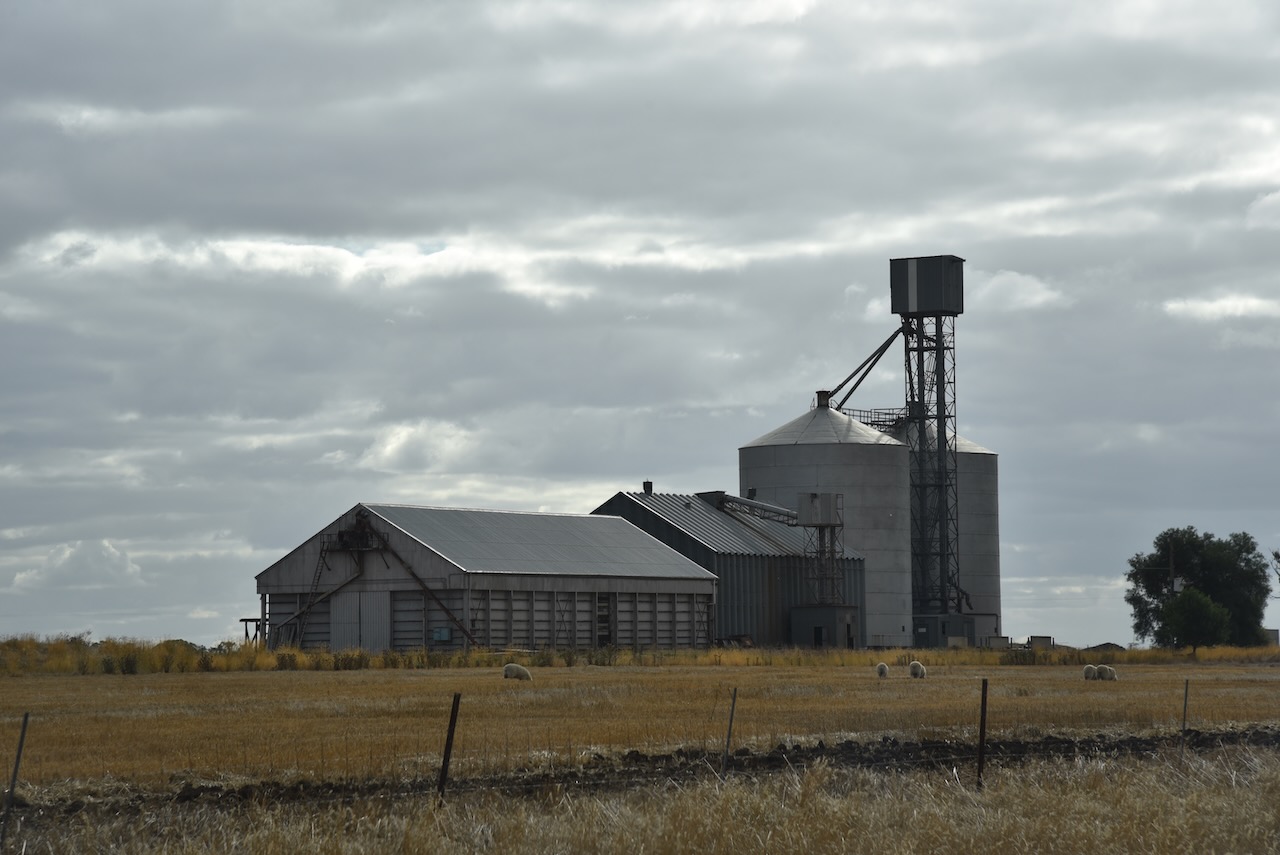
Marija and I then drove a short distance along the Natimuk-Frances Road and soon reached the little town of Mitre.
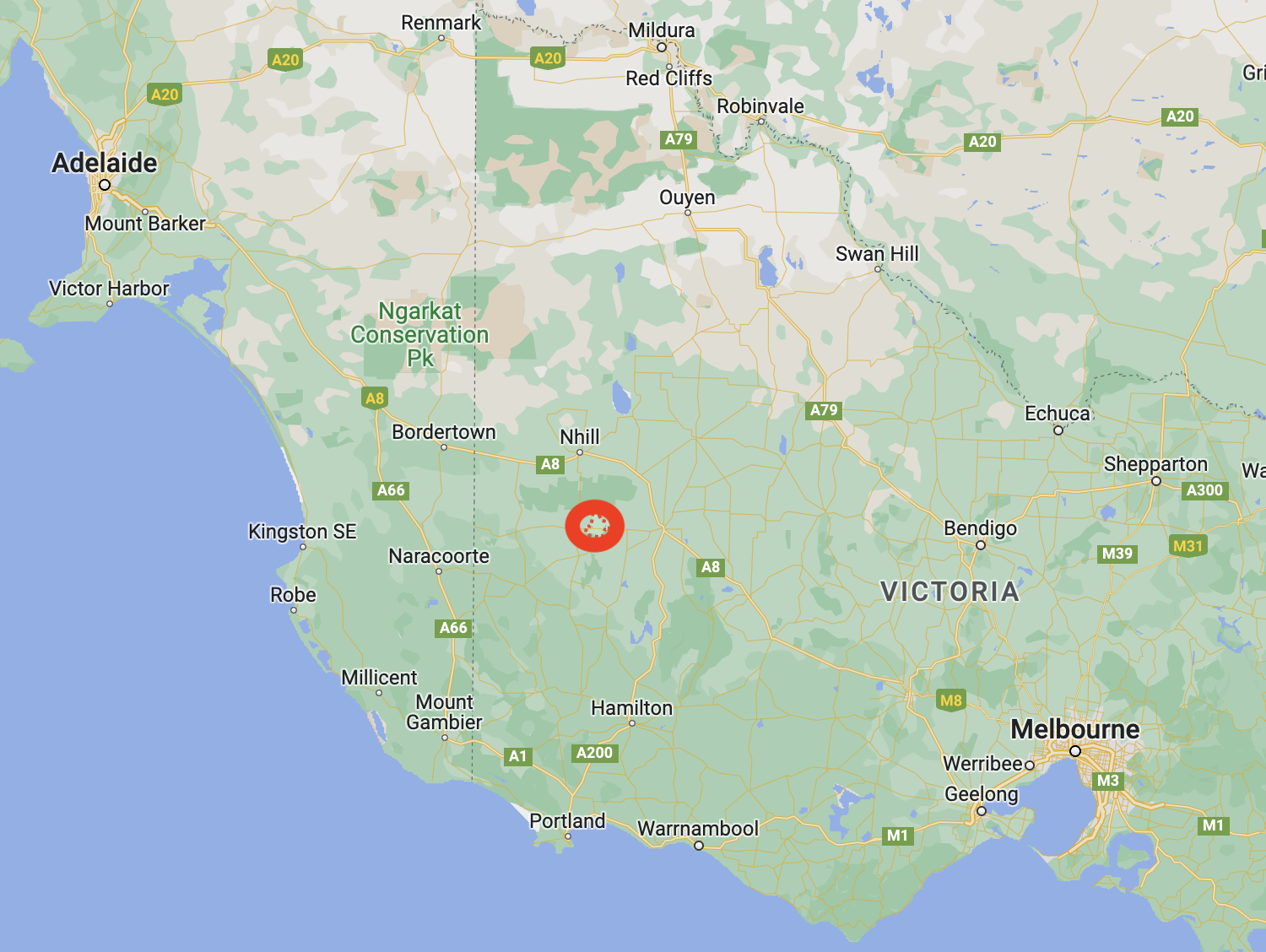
Above:- Map showing the location of Mitre, Victoria. Map c/o Google Maps.
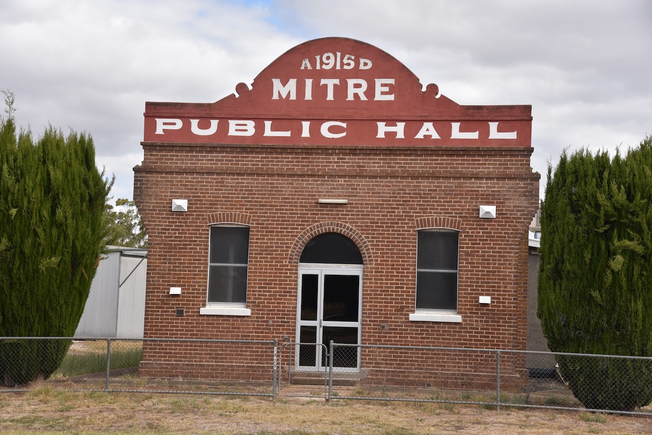
Some historic buildings remain in the tiny town of Mitre.
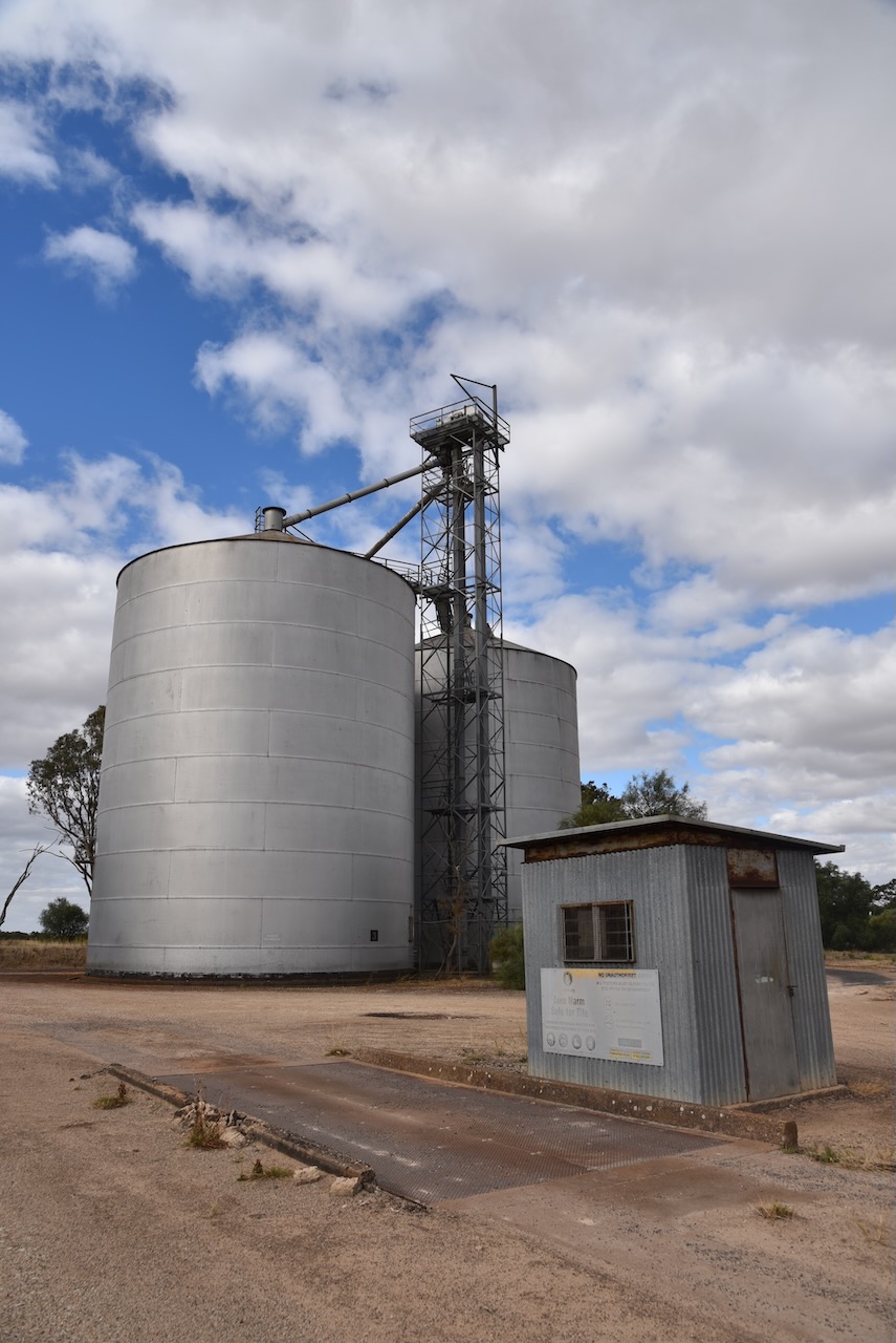
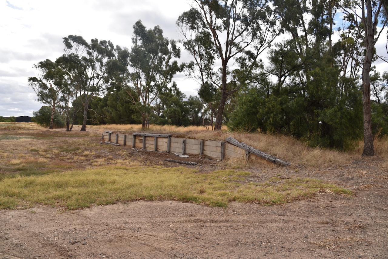
The railway arrived in Mitre in 1894. The station was originally known as St Marys and was renamed in 1904 as Mitre Lake. It was then shortened to Mitre in 1920. A large bulk-head was constructed in 1951 and was demolished in 1972. In 1968 an oat shed was built. The grain silos, some remains of the platform, and a short section of track can still be found at the site.
Marija and I parked alongside of the silos and operated from the 4WD.
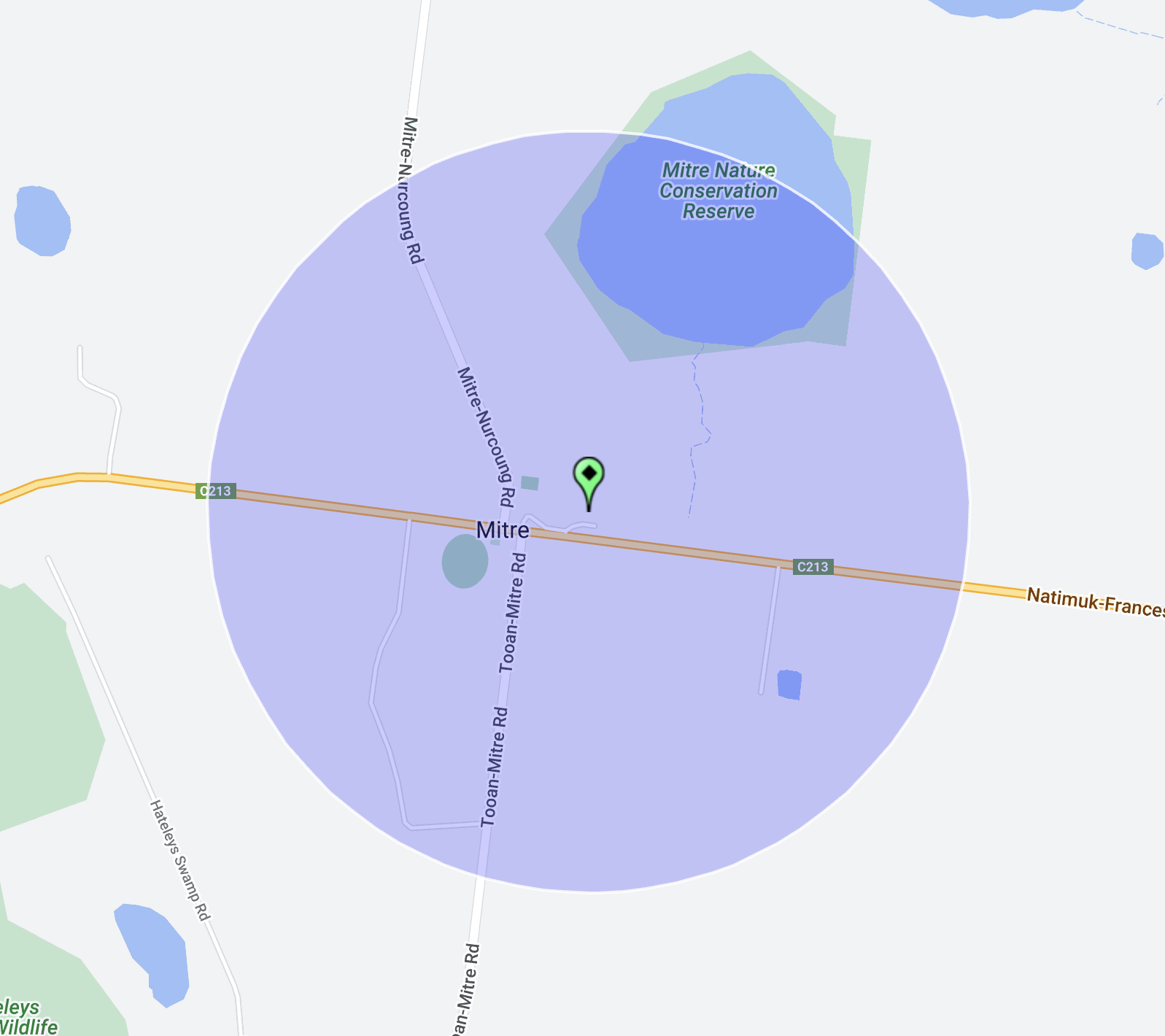
Above:- the activation zone at the Mitre silo. Image c/o SiOTA website.
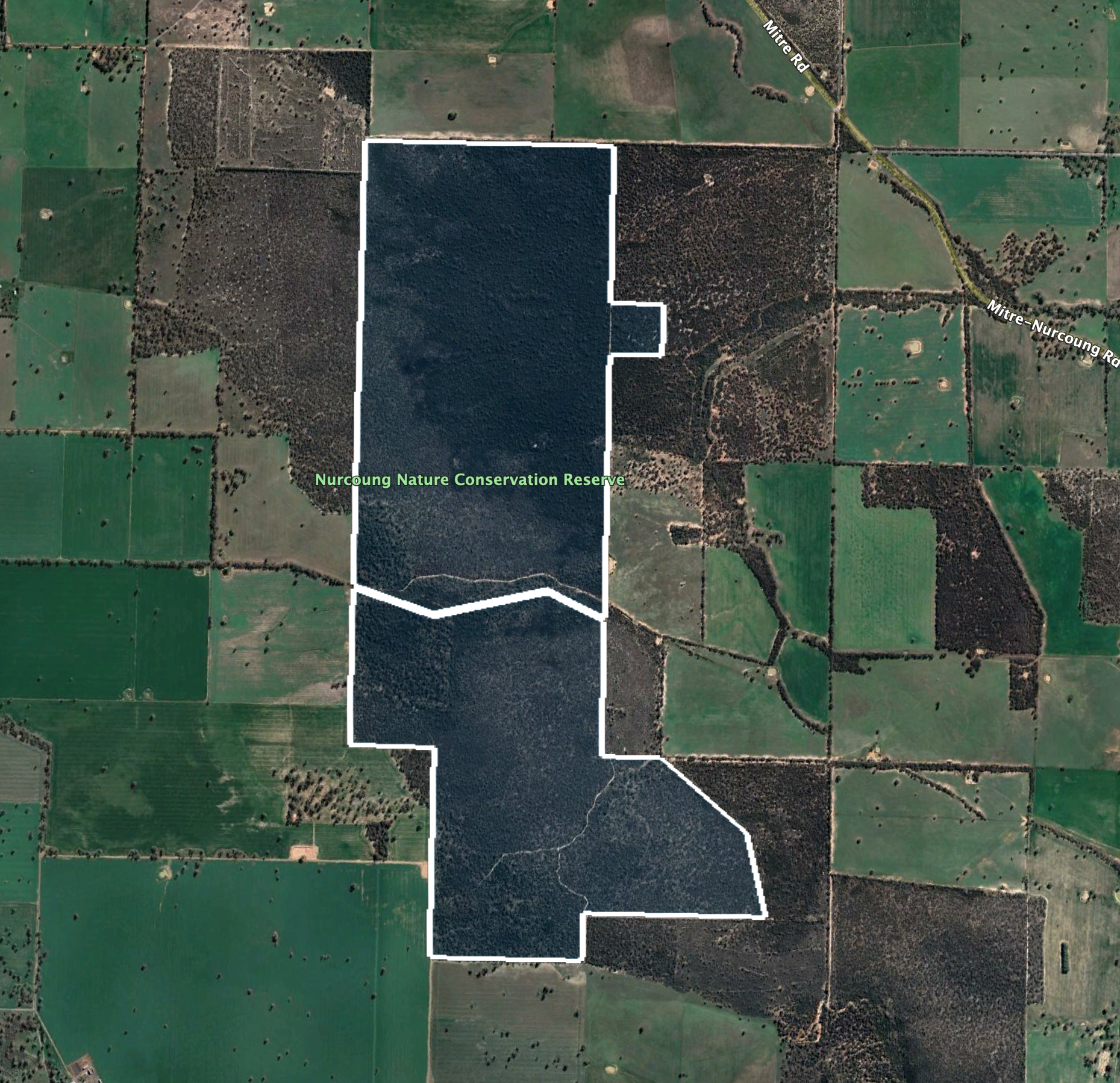
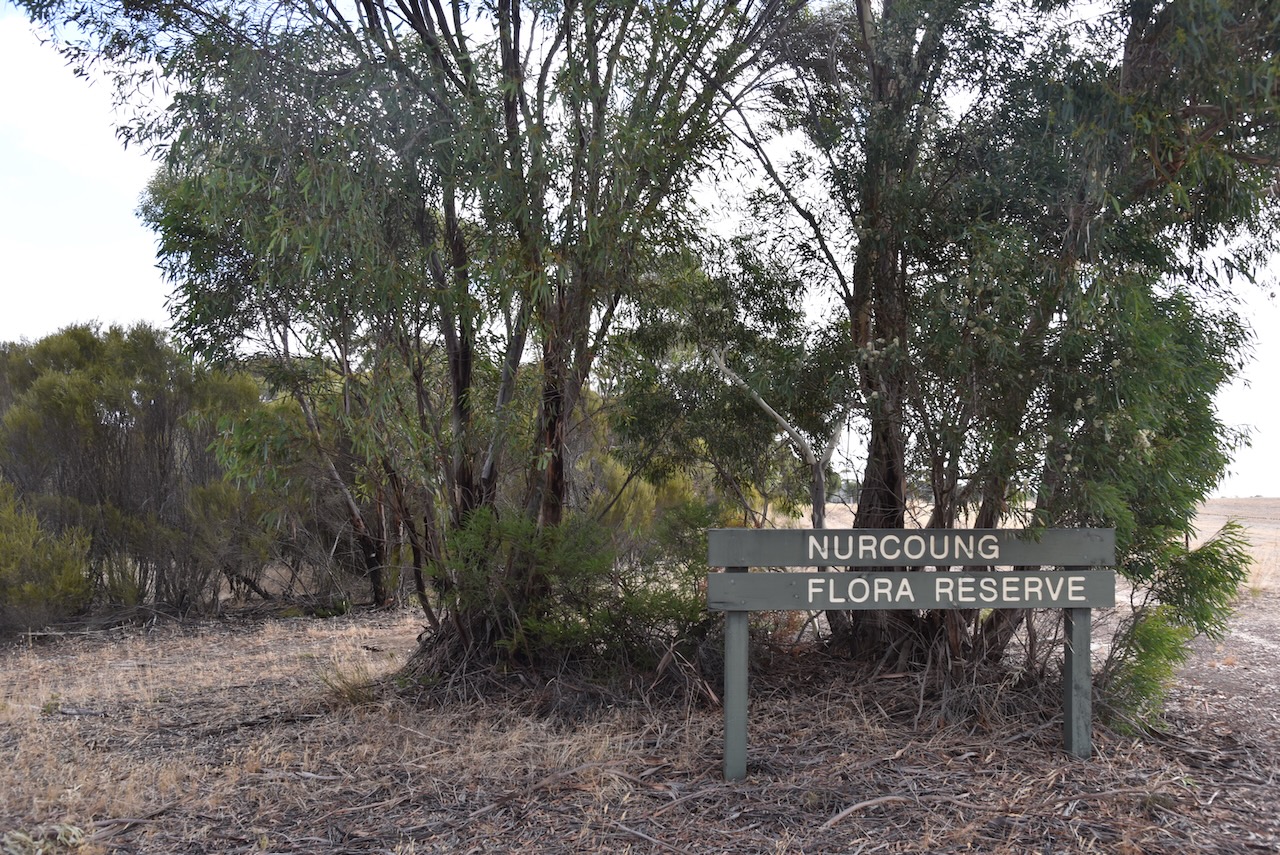
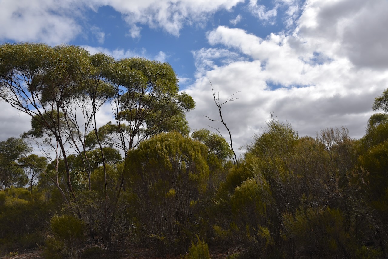
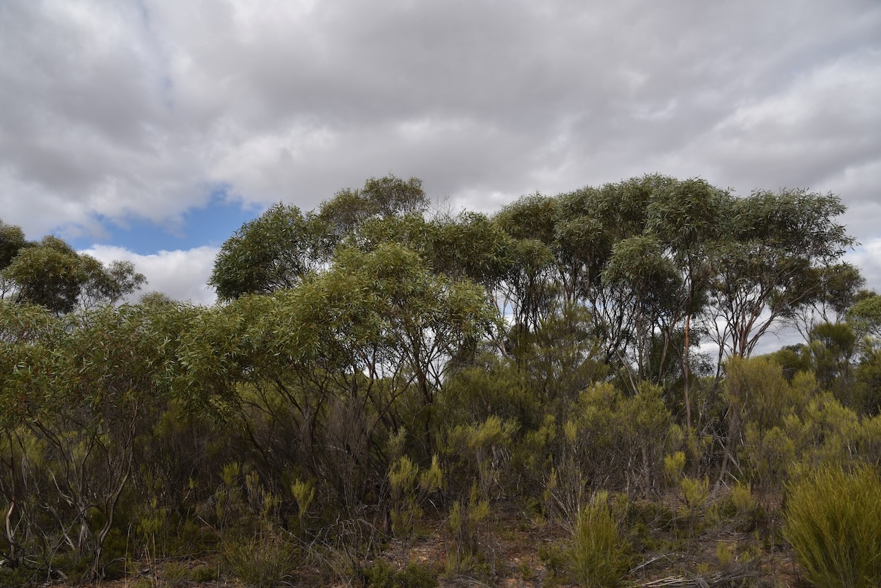
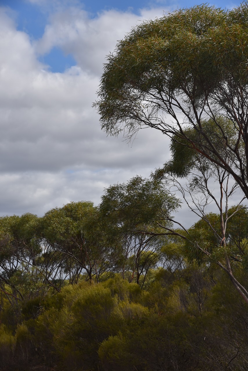
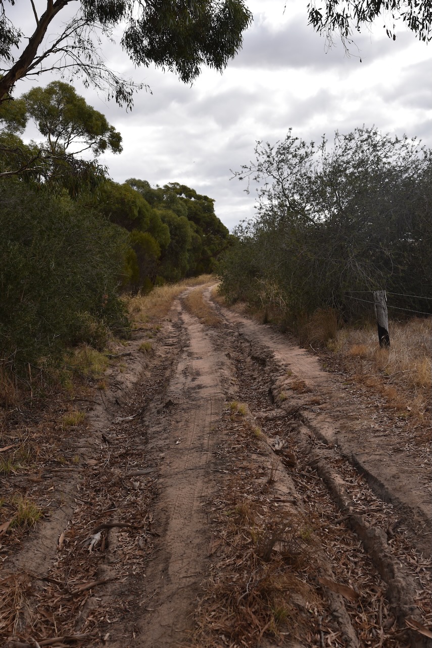
Our final park activation for 8th March 2023 was the Nurcuoung Flora Reserve VKFF-2417. The park is located about 63 km west of Horsham in western Victoria.
Above:- Map showing the location of the Nurcoung Flora Reserve. Map c/o Google Maps.
Nurcoung once had a State School which officially opened on the 11th day of September 1886 to serve the educational needs of children whose parents were new selectors on Spring Hill Station. The first head teacher was Miss M. Manckton. Prior to the State School being built, the teachers and students utilised an old farmhouse owned by Thomas Sherrif. The school obtained desks from a closed school at Booroopki located west of Goroke. When the Nurcoung school close, the building was taken to the Goroke P-12 College and was used as a classroom.
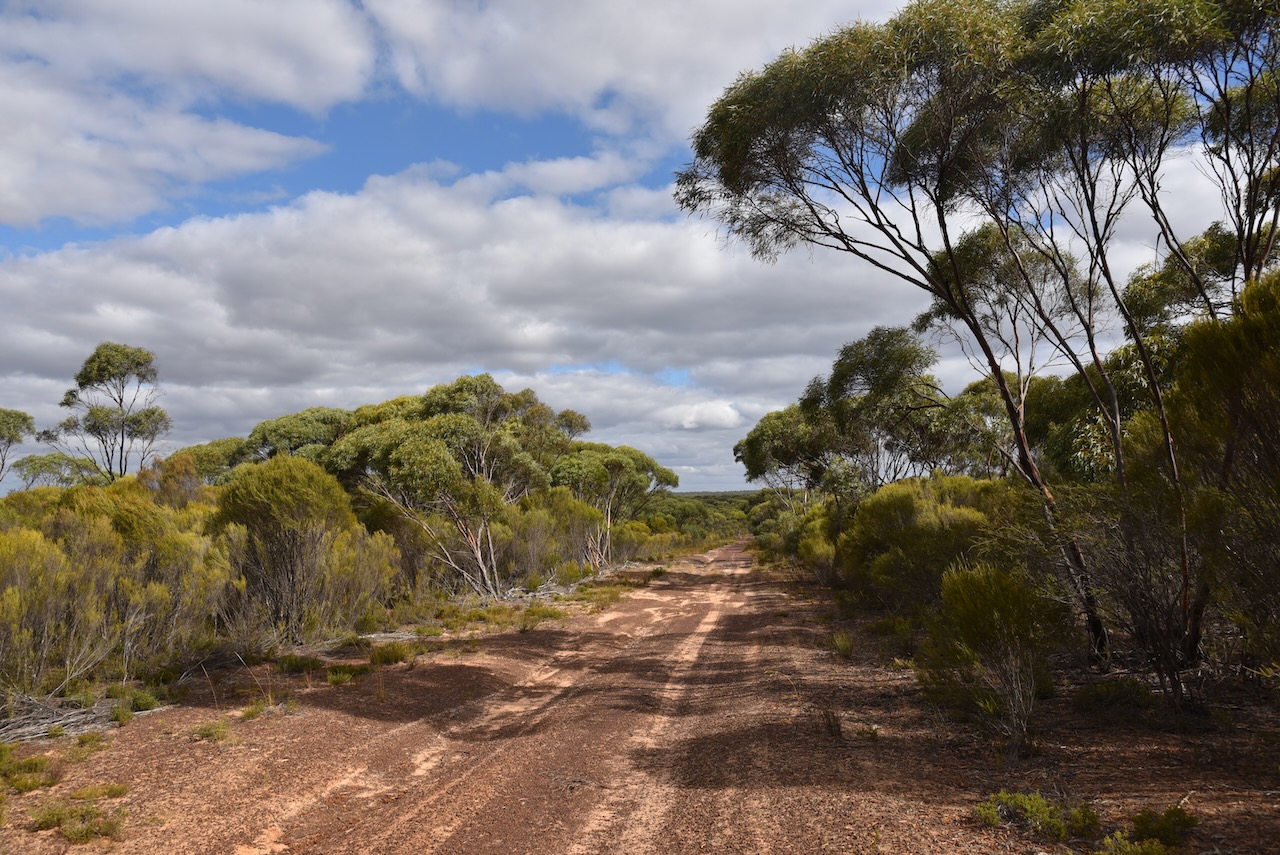
We accessed the park via a dirt track running off Mitre-Nurcoung Road.
Above:- An aerial view of the park. Image c/o Google Earth.
The Nurcoung Flora Reserve is 588 hectares in size and was established on the 22nd day of September 1987