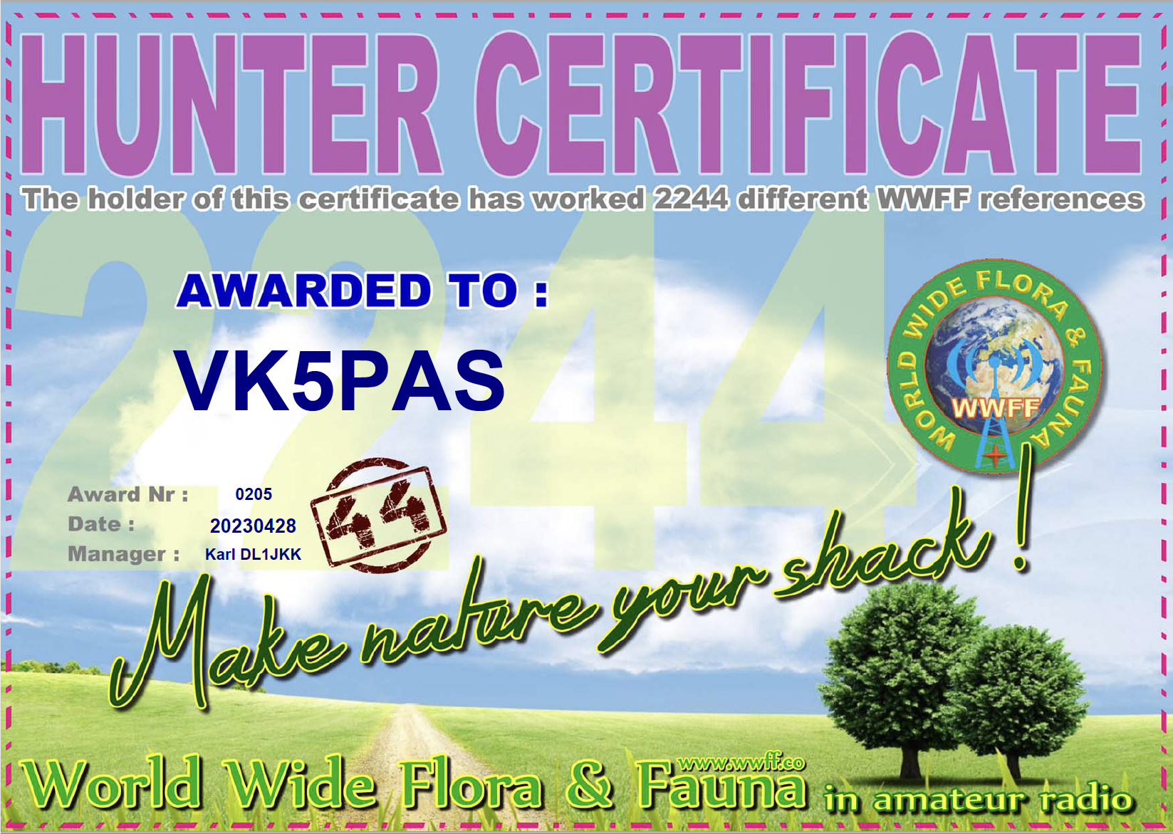
A few days ago I received my latest WWFF global Hunter certificate, issued for having worked 2,244 different WWFF references.
Thank you to all of the WWFF activators and thank you to Karl DL1JKK the awards manager.

A few days ago I received my latest WWFF global Hunter certificate, issued for having worked 2,244 different WWFF references.
Thank you to all of the WWFF activators and thank you to Karl DL1JKK the awards manager.
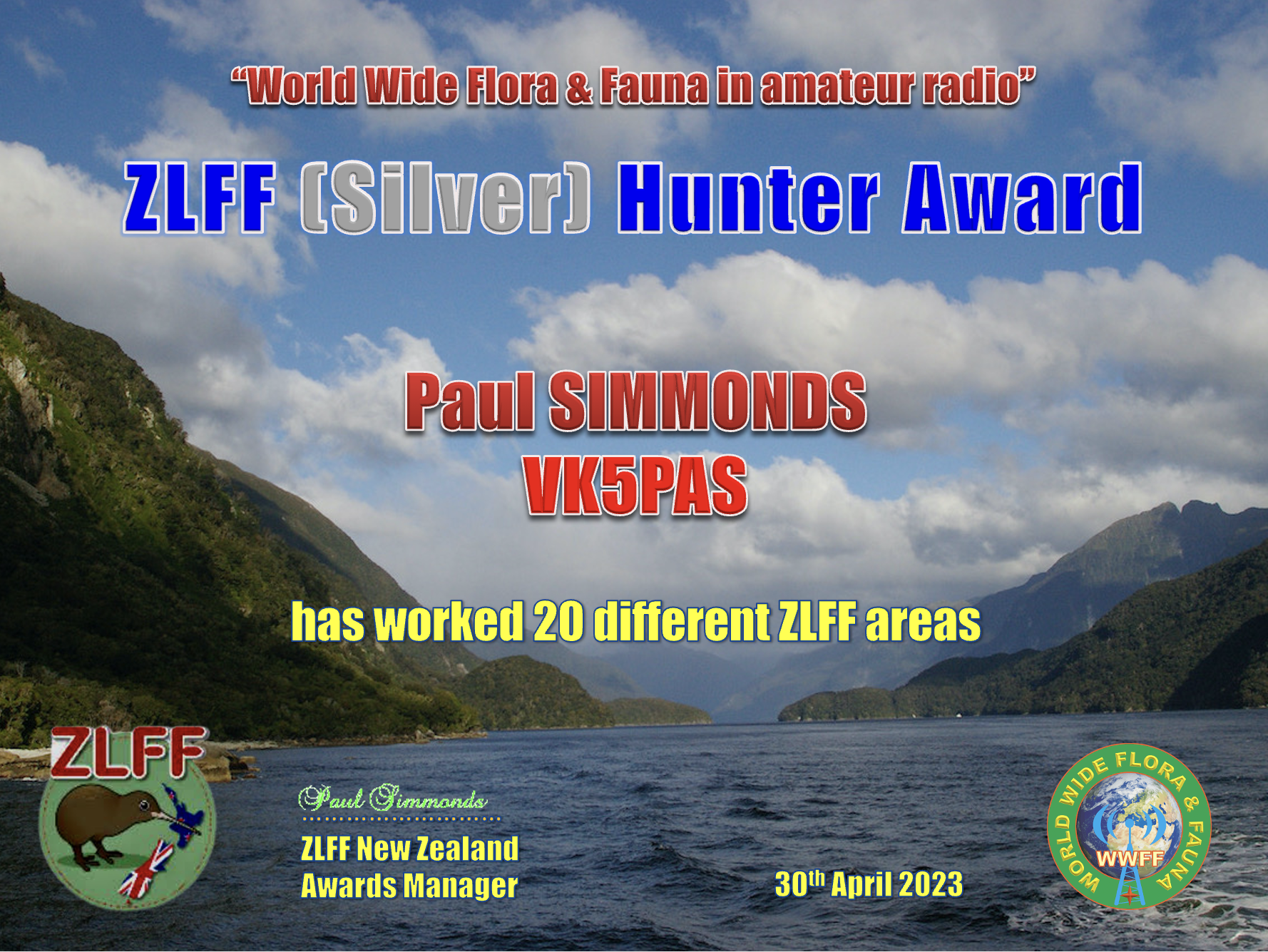
My latest ZLFF certificate is the Silver ZLFF Hunter.
Thank you to all of the ZLFF activators.
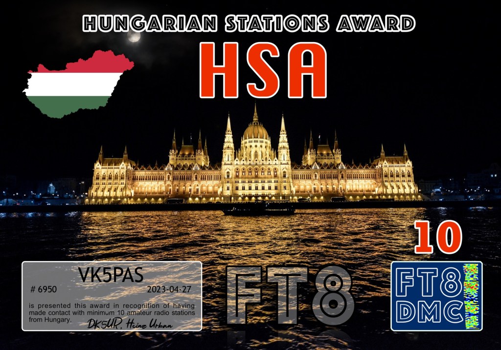
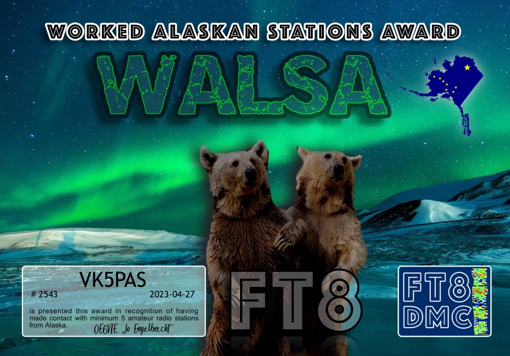
Here are my latest FT8 award certificates. Thanks to all of the FT8 operators and the various award managers.


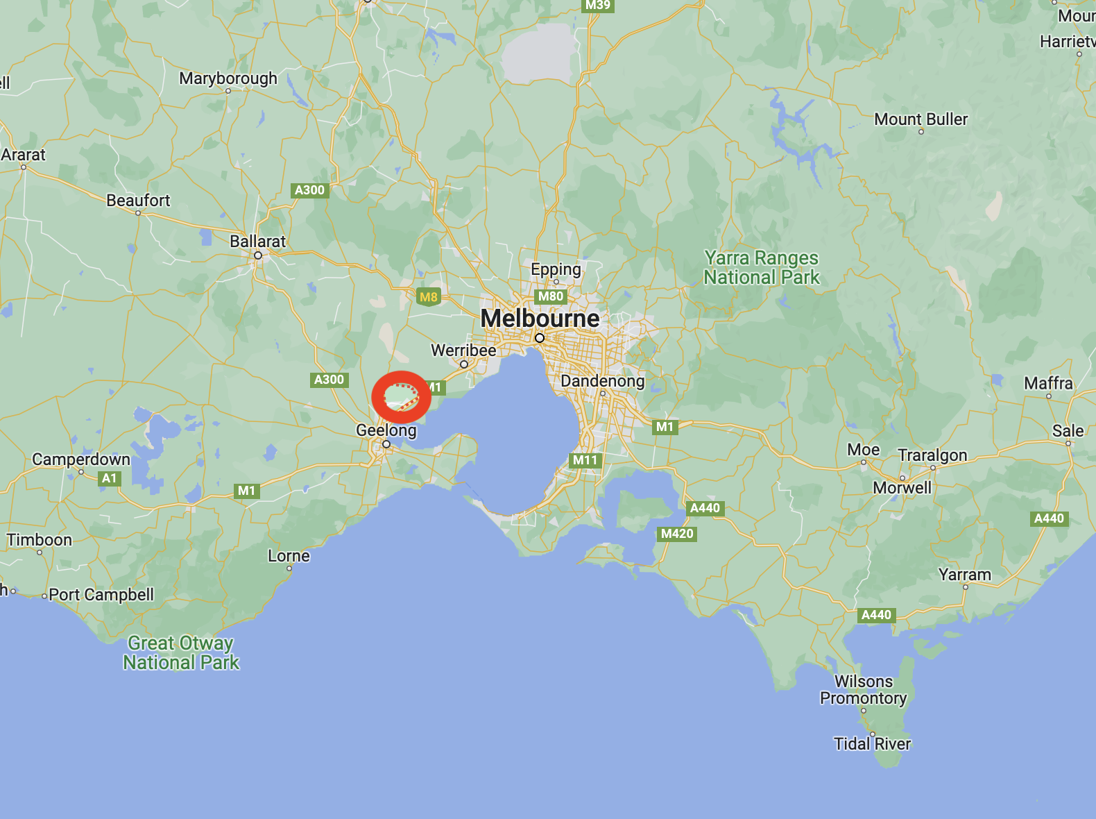
It was now Tuesday 7th March 2023, and it was time to leave Geelong. We had booked in to stay at Ararat for one night before heading back home. Today we had a 180km journey ahead of us, with some planned park activations.
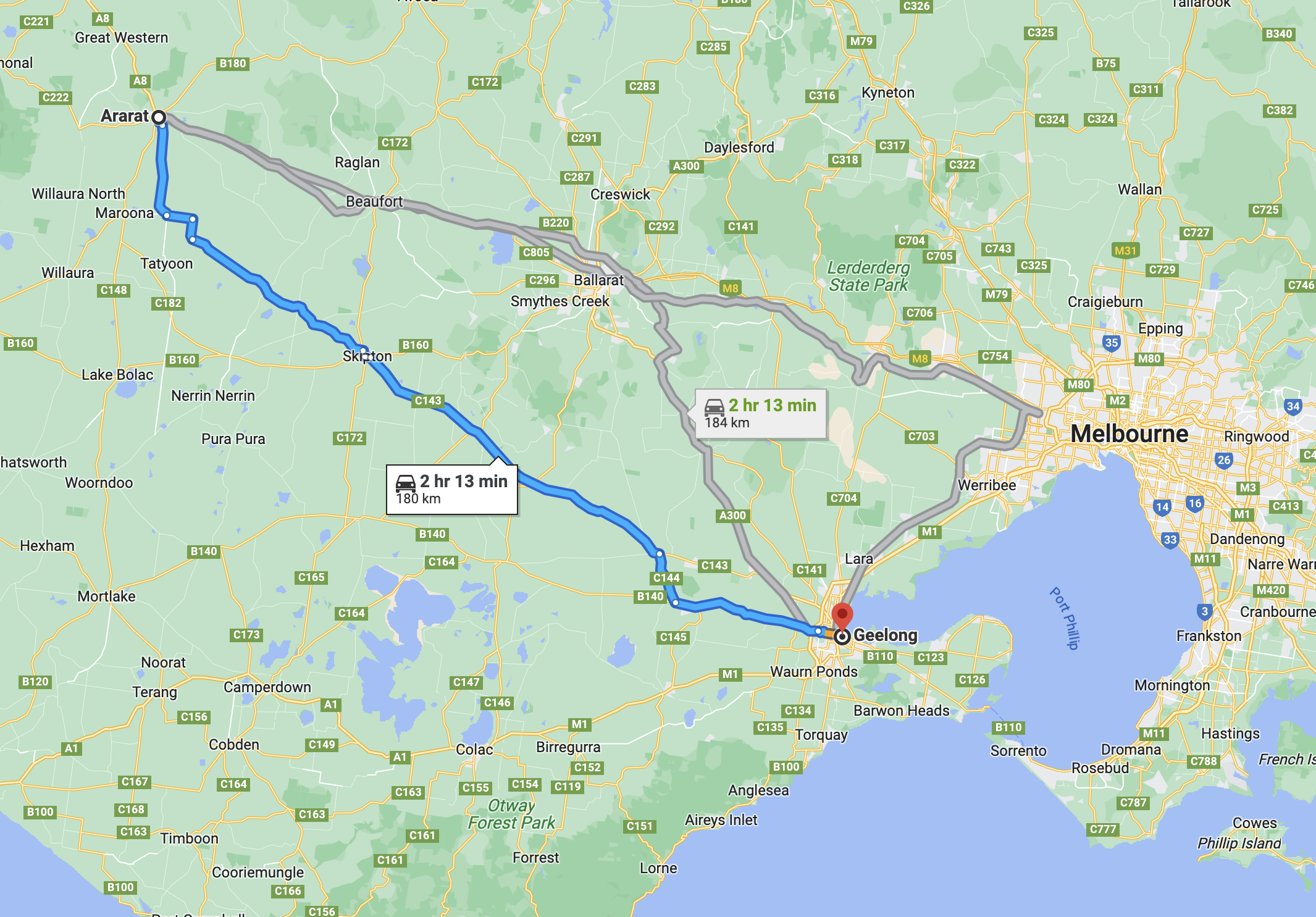
Above:- Map showing the route between Geelong and Ararat. Map c/o Google Maps.
After breakfast, we headed to Fyansford, a small township on the western edge of Geelong. It was named after Captain Foster Fyans who came to Geelong as a Police magistrate in 1837. We wanted to have a look at the Fyansford cement silo which had silo art on it. Sadly, when we got to its location, there was nothing there. We sought some help from Google and sadly found that the silo had been demolished.
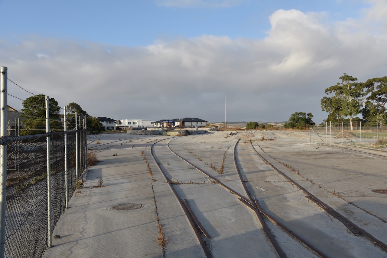
The Fyansford silos were the 14th silo to have been completed in the Australian Silo Art Trail. The silo artist was Rone, a world- renowned street artist who came from Geelong. The silos were demolished in April 2020.
Fortunately, Marija and I did get to see this silo art some years ago in 2018 when we were in Geelong.
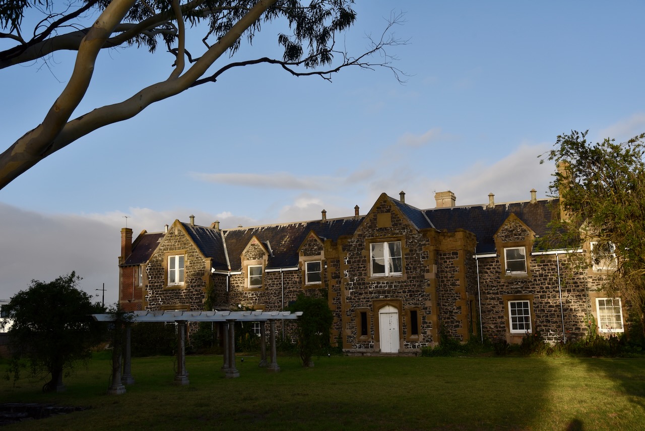
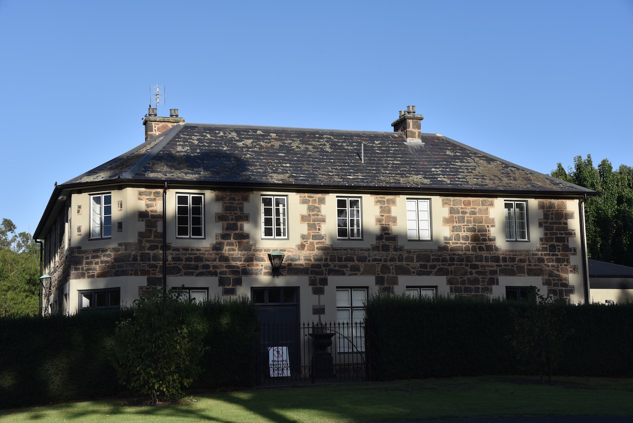
Just around the corner in McCurdy Road are some magnificent old homes. One of those is at 210 McCurdy Road. It is a beautiful stone mansion dating back to 1855.


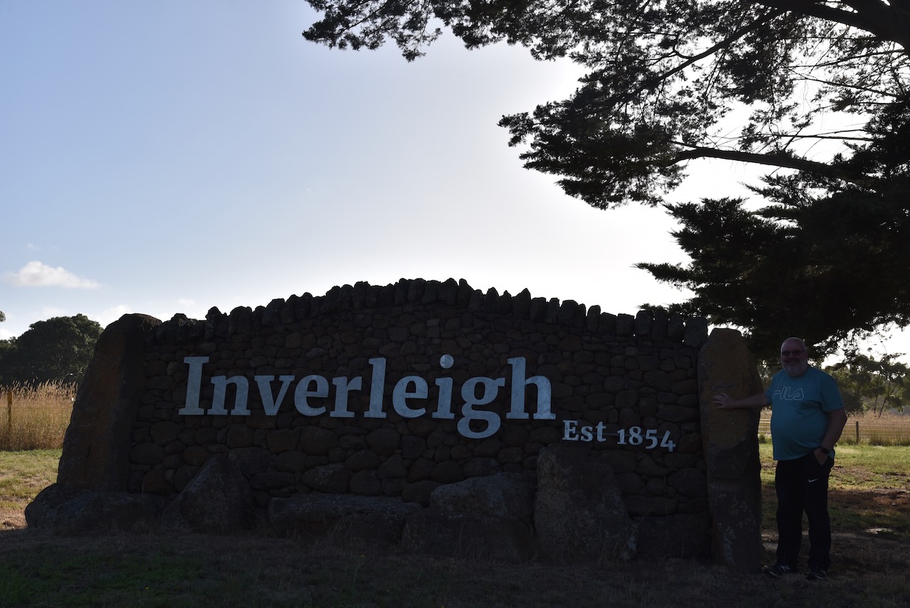
We left Geelong and headed to Inverleigh along the Hamilton Highway. This small town is about 30km east of Geelong. We have been to Inverleigh before and it is a beautiful little town with quite a bit to see.
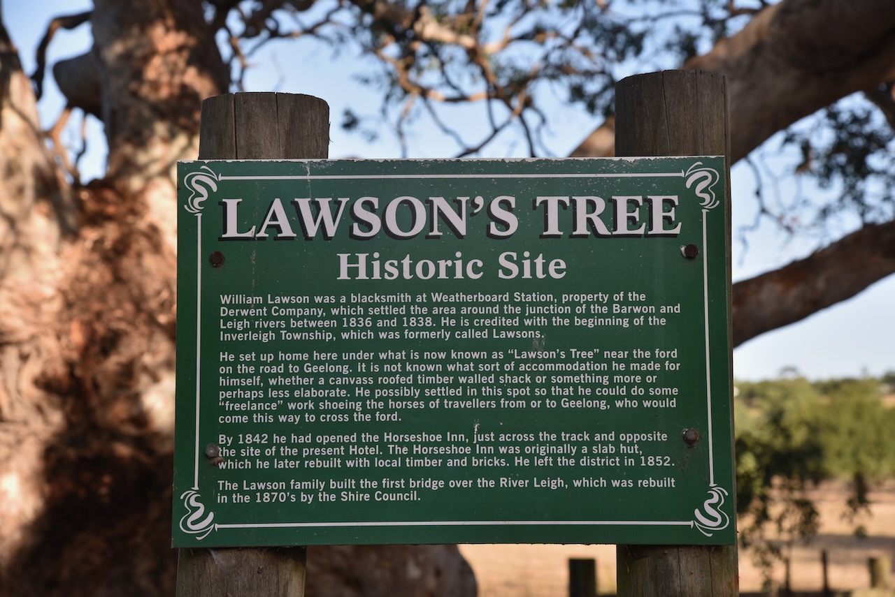
Prior to the construction of the Hamilton Highway, the road was known as the Lower Leigh Road and was an early track to the Western District of Victoria. An Inn was built in 1843 by William Lawson near a ford, across the Barwon River. The area was prone to flooding and due to the silt left by floodwaters, the land was perfect for farming.
Between 1851-1853 Lawson built a new hotel, the Horseshoe Inn. In 1853 the township of Inverleigh was proclaimed. In 1855 a bridge was built over the Barwon River at Inverleigh.
Inverleigh took its name from the Leigh River which had been named by the Colonial Surveyor, John Helder Wedge in 1835. Inverleigh is believed to mean ‘mouth of’ or ‘against’ the Leigh River.

Above:- John Helder Wedge. Image c/o Wikipedia.
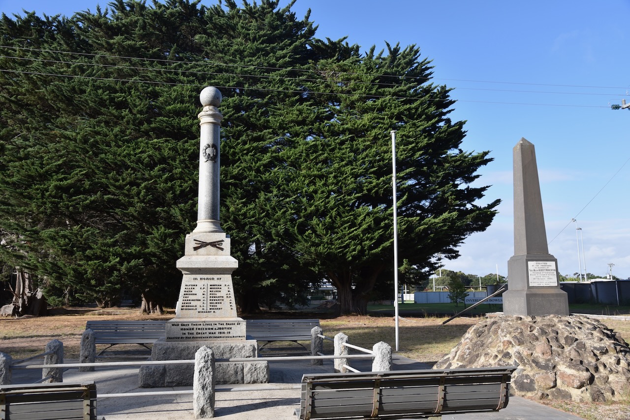
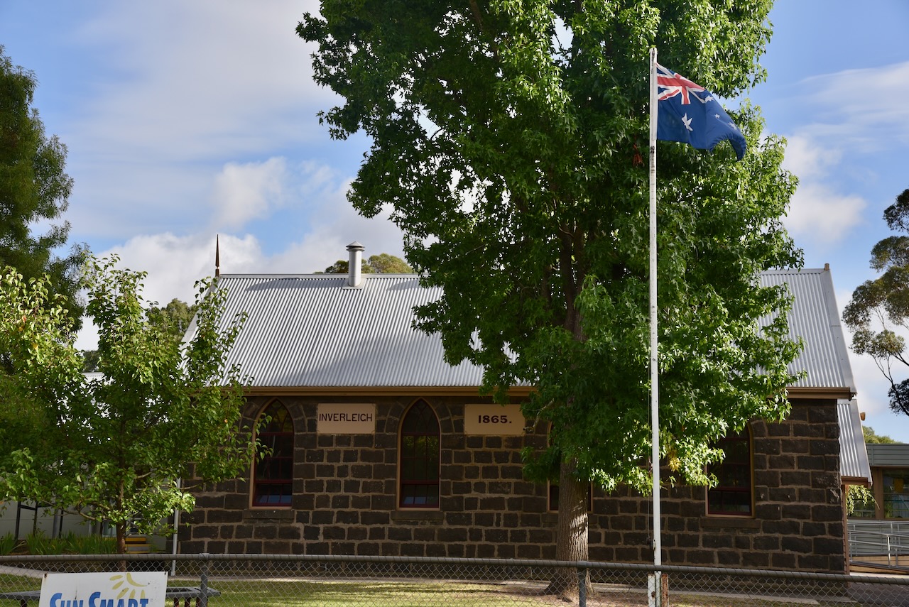
Inverleigh has a number of historic buildings. They include the Inverleigh Presbyterian church erected in c. 1861, and the Inverleigh school which is on the Victorian Heritage Register.


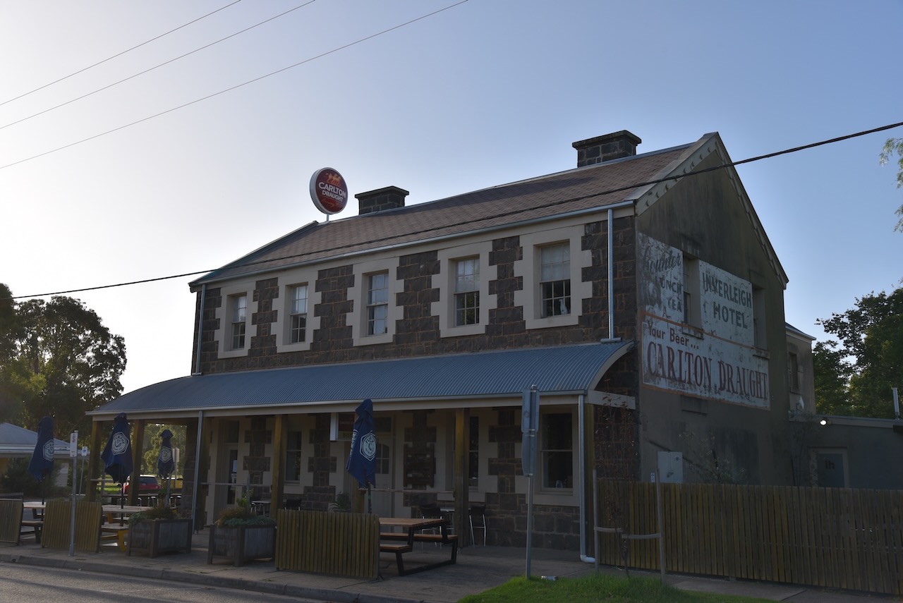
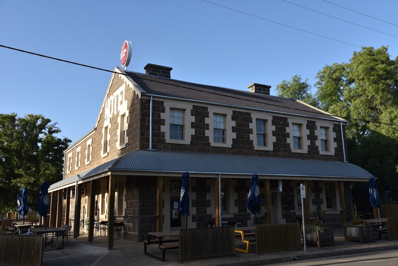
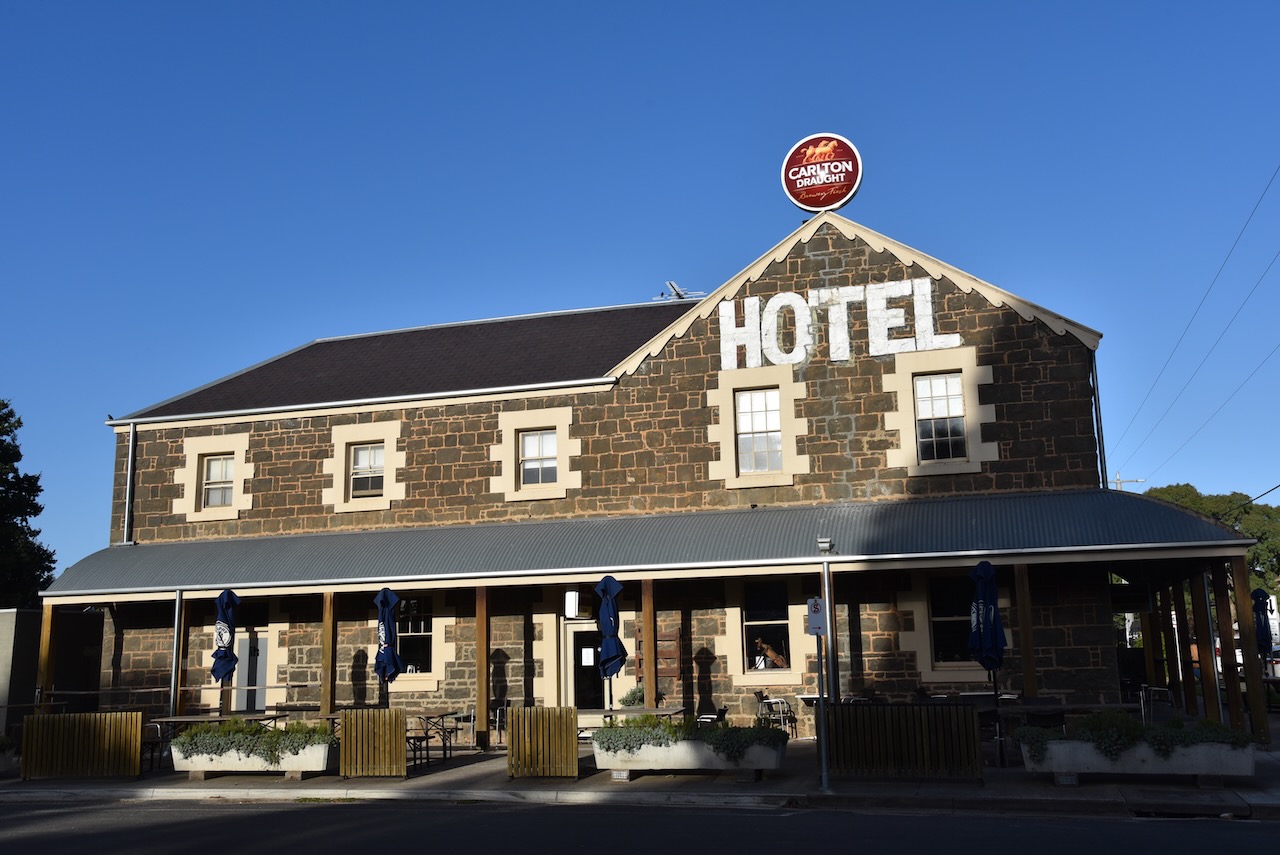
One of the most impressive buildings in Inverleigh is the Inverleigh Hotel. It is a magnificent bluestone building which dates back to 1856.
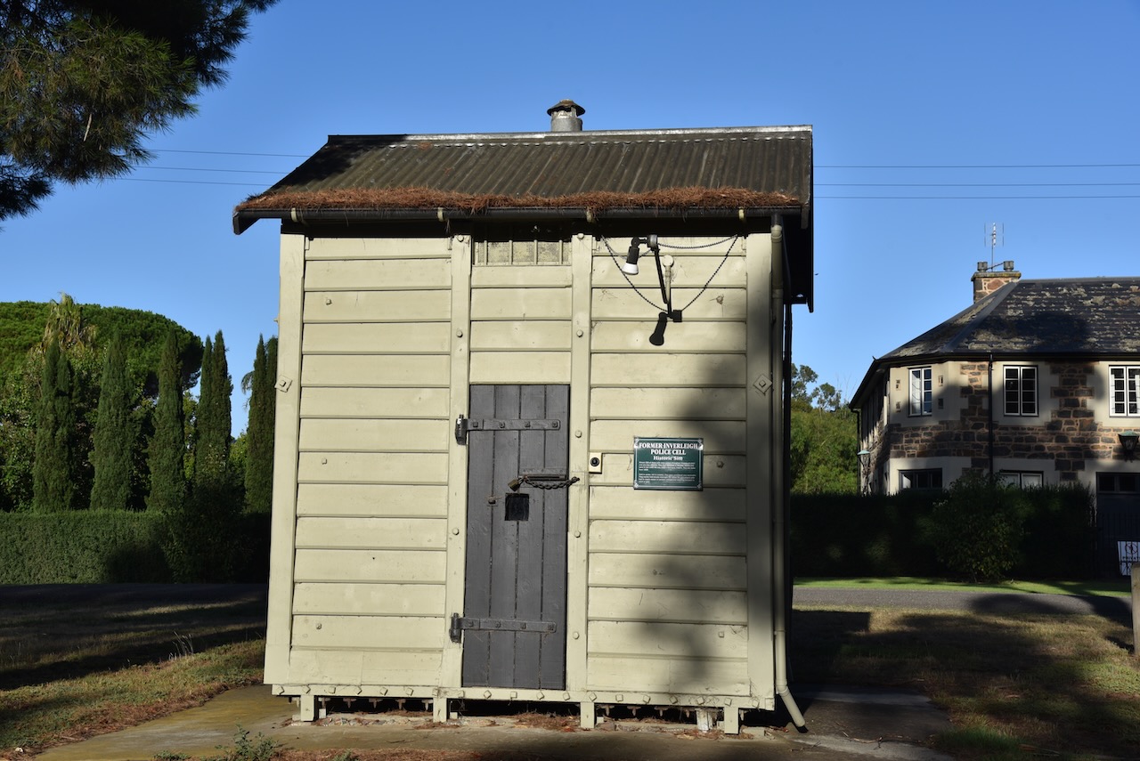
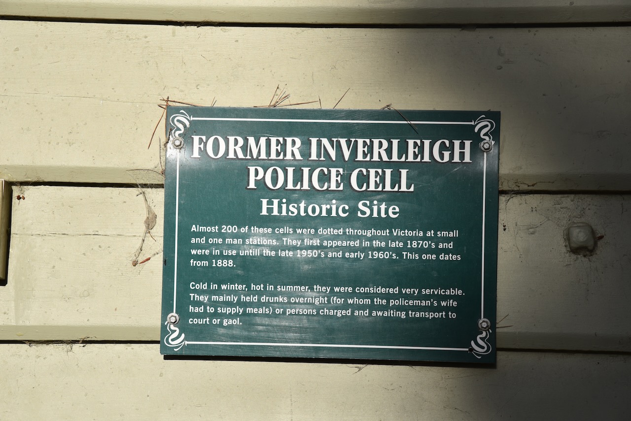
The former Inverleigh Police cell can be found in Lawsons Park. About 200 of these cells were located around Victoria at small and one-man police stations. They were first used from around the late 1870s until the early 1960s. The Inverleigh police cell dates from about 1888.
The former Lawson’s Horseshoe Hotel can also be found in Cambridge Street.
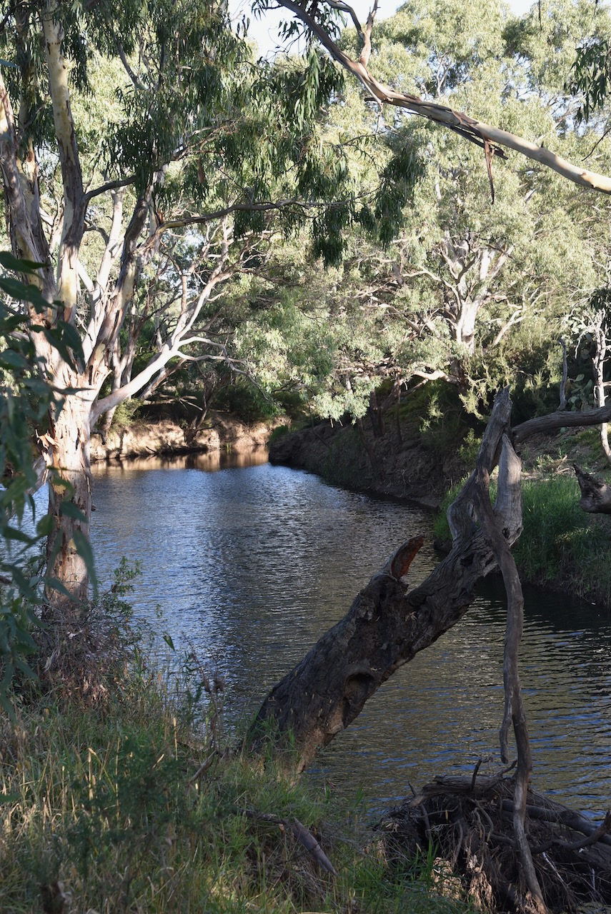
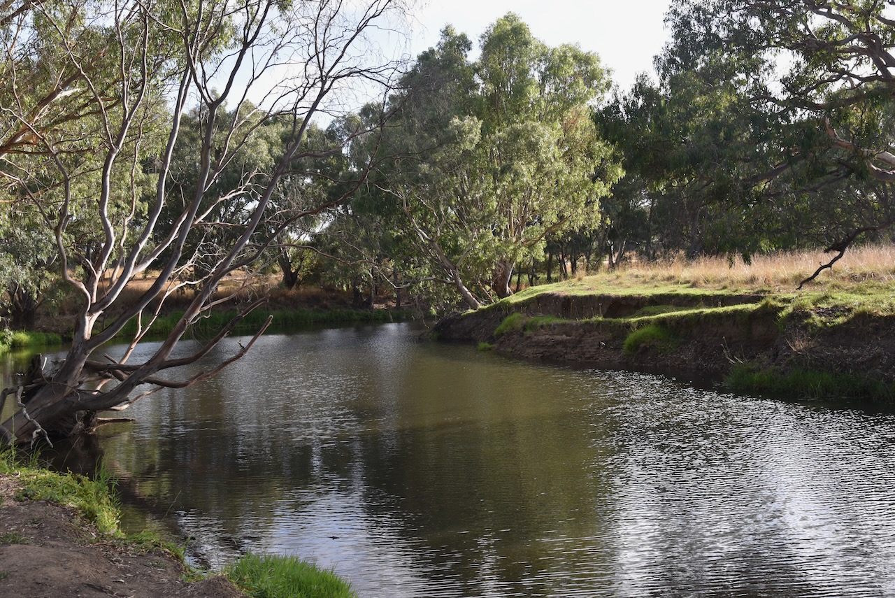
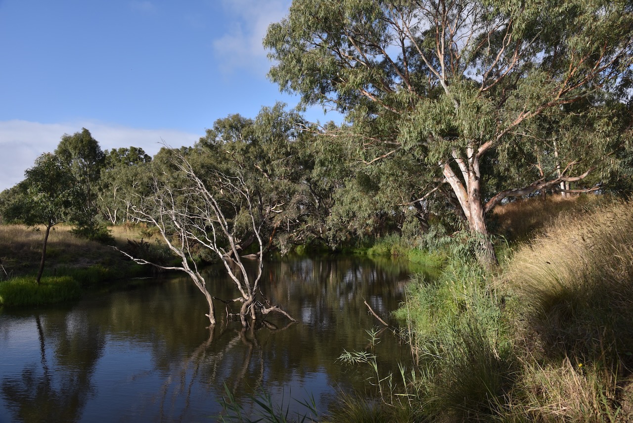
The Leigh River runs through Inverleigh. It is a major tributary and catchment of the Barwon River.
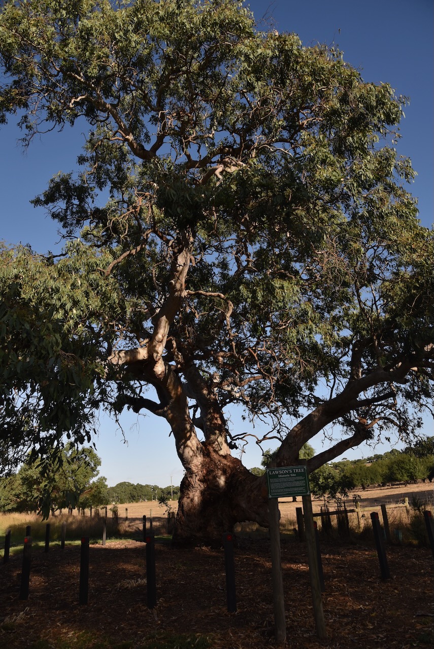
Another interesting site in Inverleigh is Lawsons Tree. It is a magnificent River Red Gum and is the site of William Lawson’s home.
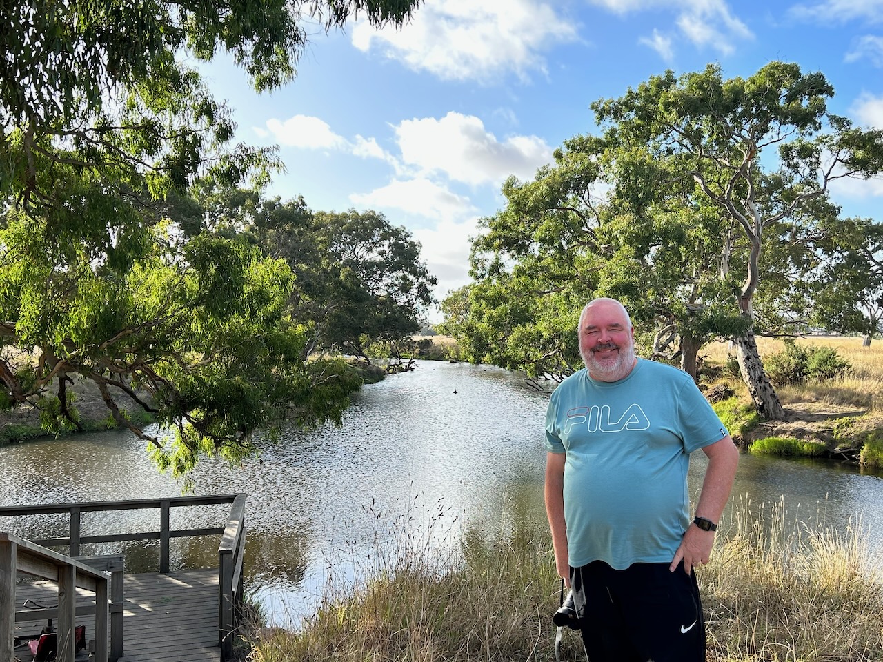
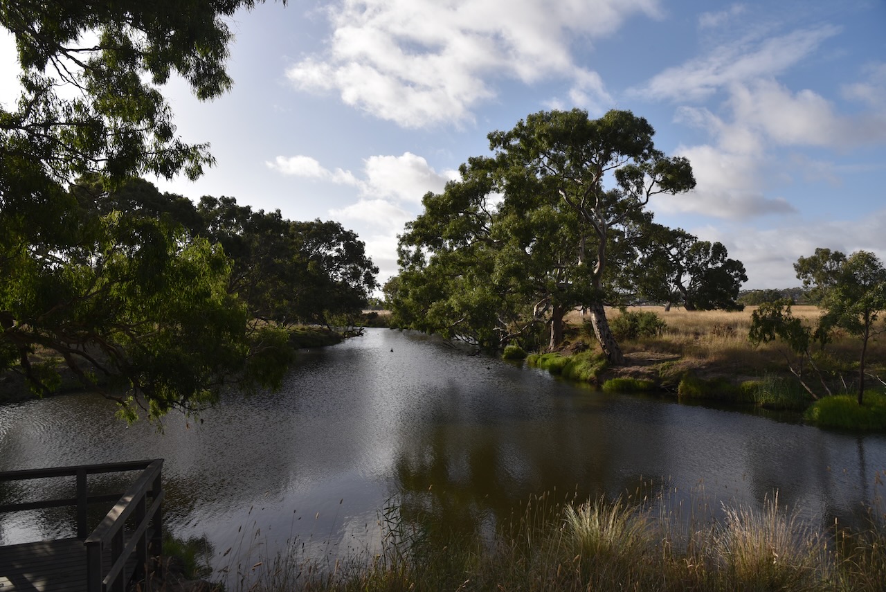
Marija and I then took a short drive out to the confluence of the Barwon River and the Leigh River. It was a beautiful drive along the dirt track (River Track) following the river.
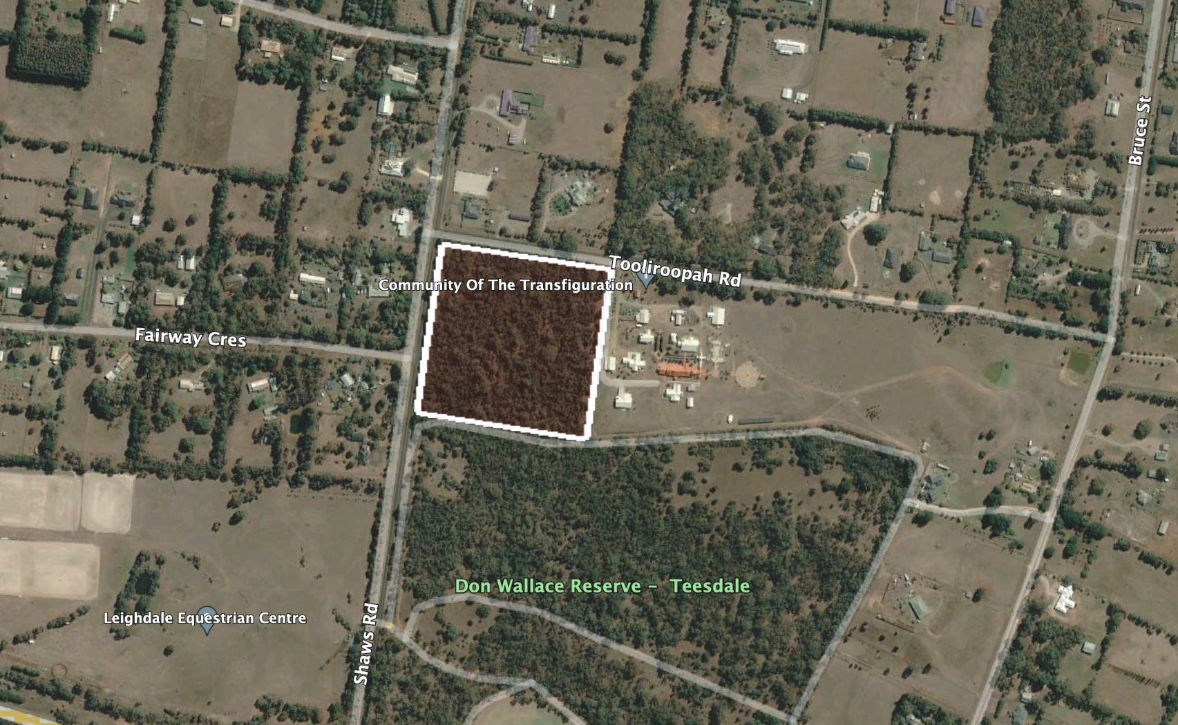
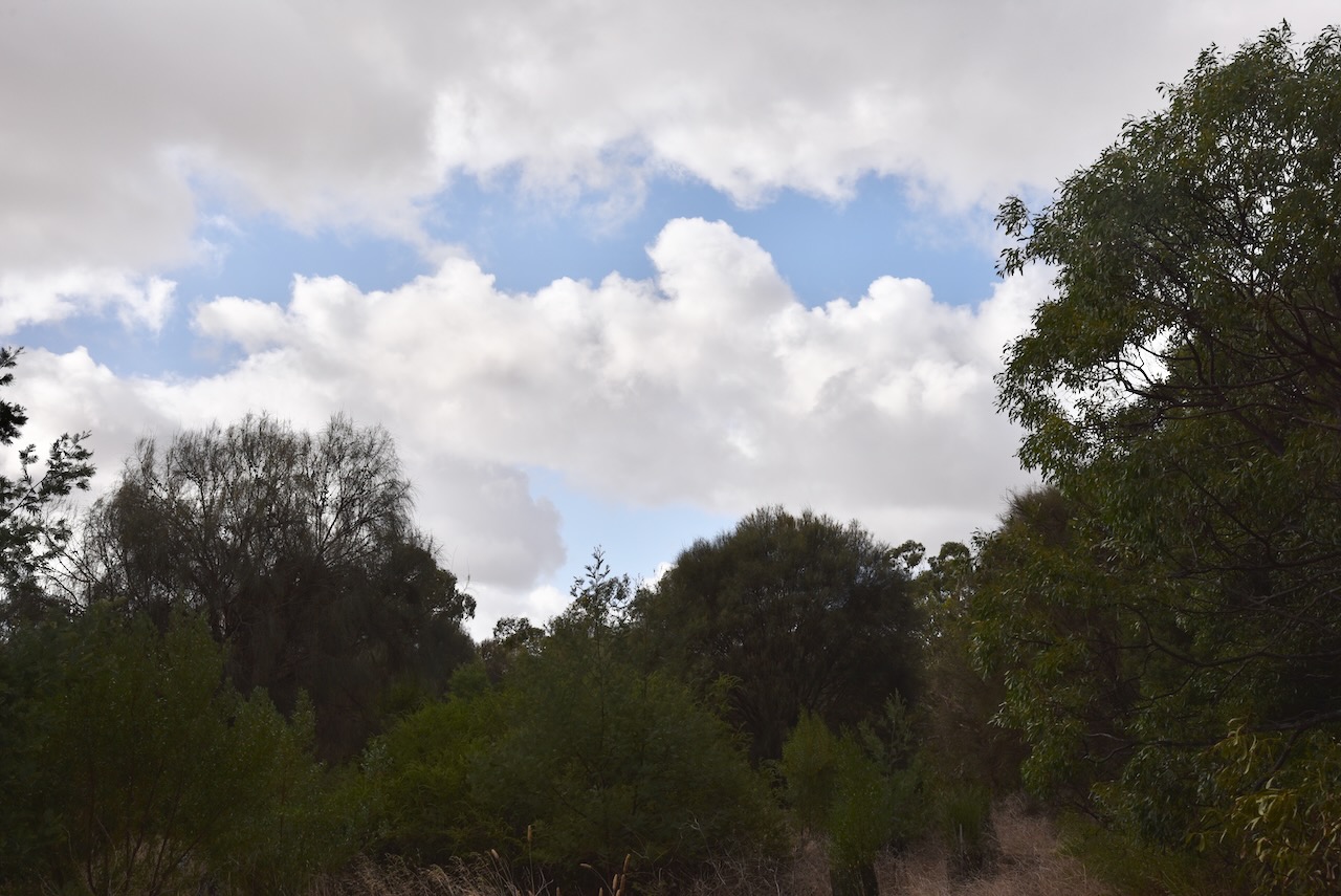
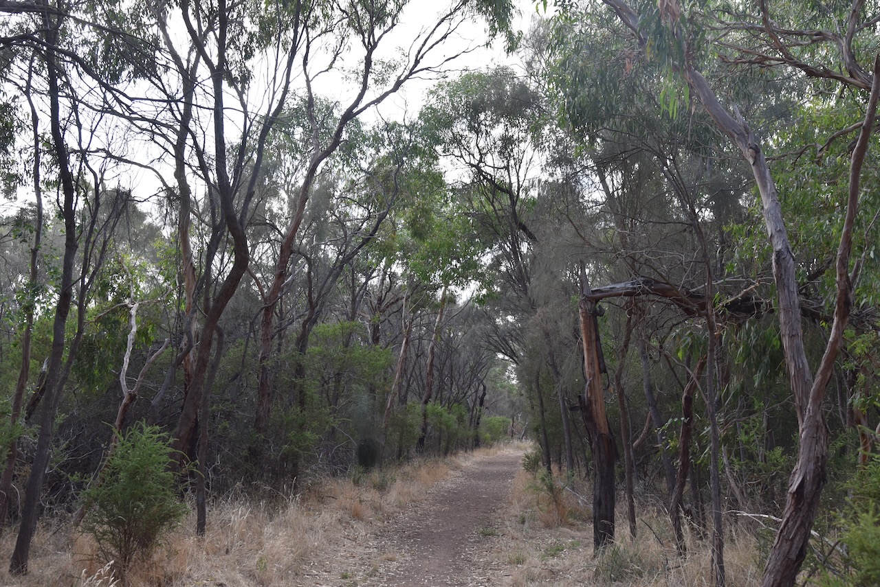
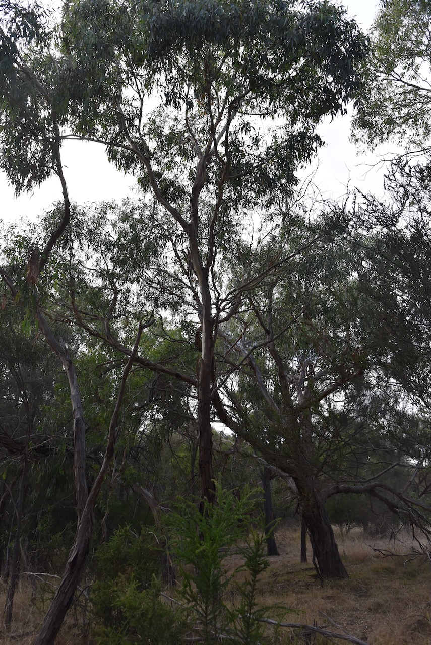
We left Inverleigh and headed to our first park activation for the day, the Teesdale Flora Reserve VKFF-2206.

Above:- Map showing the location of Teesdale. Map c/o Google Maps.
The park is located in the heart of the town of Teesdale. It is on the eastern side of Shaws Road, just to the north of Teesdale Grassy Woodlands Reserve and Don Wallace Reserve.
Above:- Aerial view showing the location of the park. Image c/o Google Earth.
The town of Teesdale was surveyed in 1852 on the Shelford-Bannockburn Road where it crosses Native Hut Creek. It takes its name from an outstation of T & S Learmonth, pastoralists, who occupied the Native Creek run in the mid-1830s. In 1852 a combined store/hotel/post office was built. In 1858 a Presbyterian church and school was built. By 1864 the Leigh Shire Council had an office in Teesdale. By 1874 a Mechanics Institute had been constructed.
In 1903 Teesdale was described in the Australian handbook:

The park is known as the Teesdale Sheaok Nature Conservation Reserve and is also referred to as the Teesdale Flora Reserve. The park is 4 hectares in size. It is a small piece of scrub to the north of the Teesdale Grassy Woodlands Reserve.


Marija worked the following stations on 40m SSB:-
Marija worked the following station on 20m SSB:-
I worked the following stations on 40m SSB:-
I worked the following station on 20m SSB:-
We had both qualified the park for the VKFF program, with 10 QSOs each in the log. But we had fallen short of the 44 QSos required to qualify a park for the global WWFF program. This is a park we will have to return to.
References.
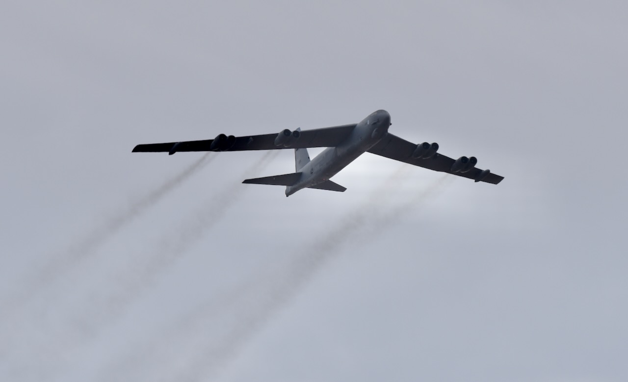
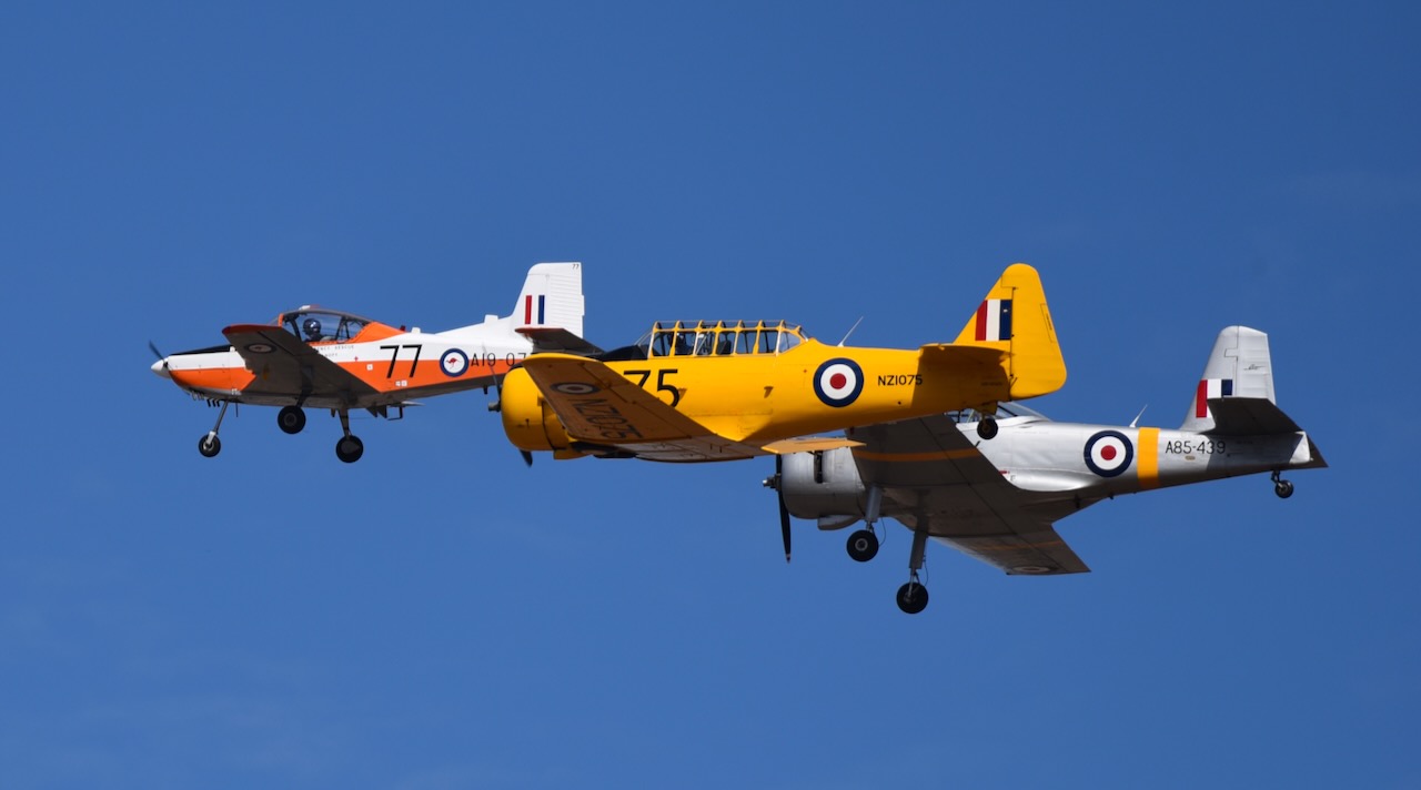
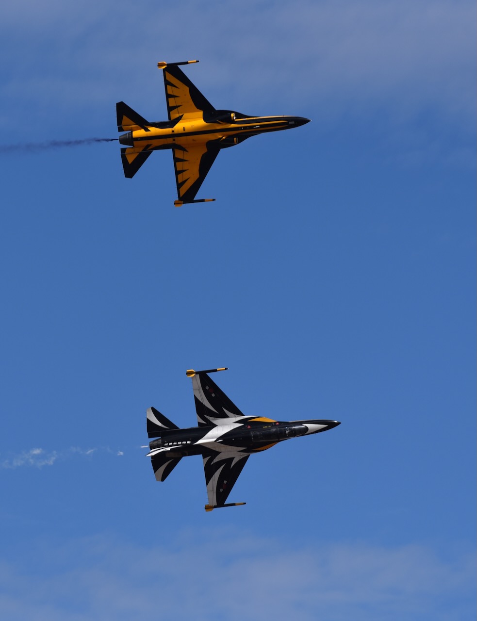
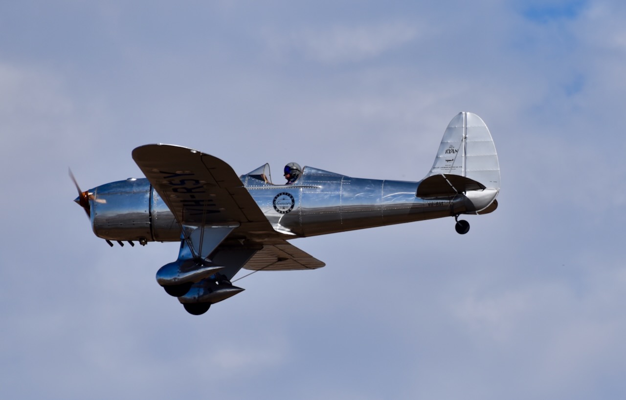
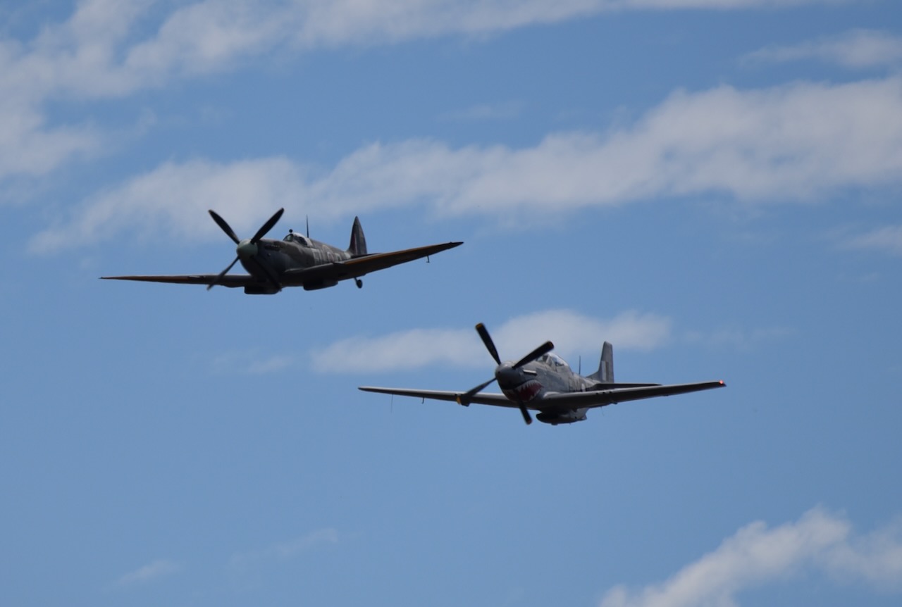
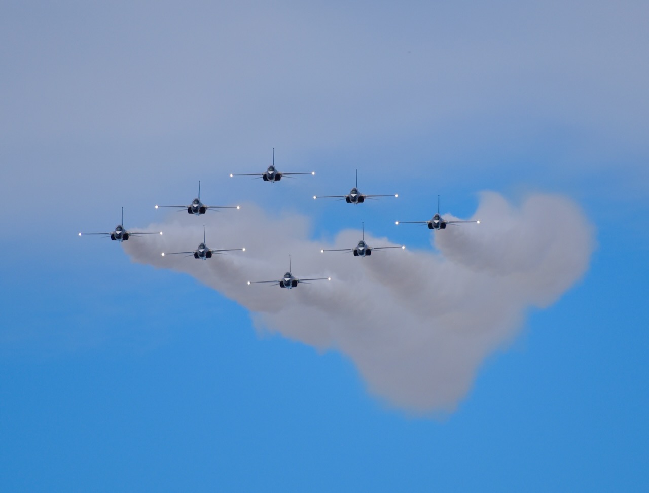
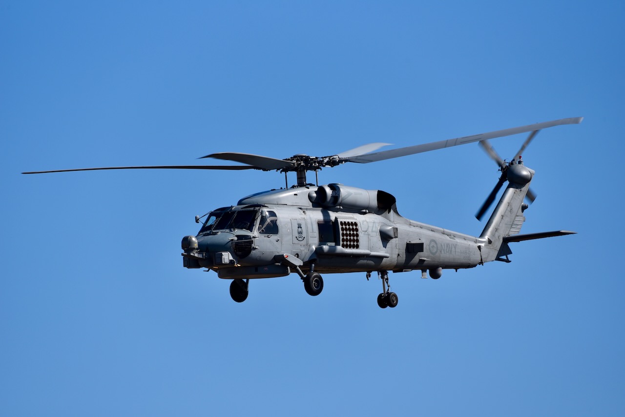
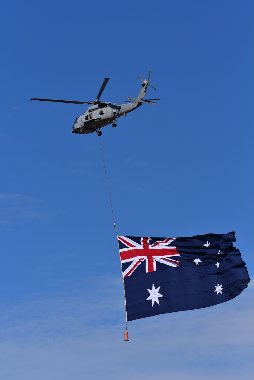
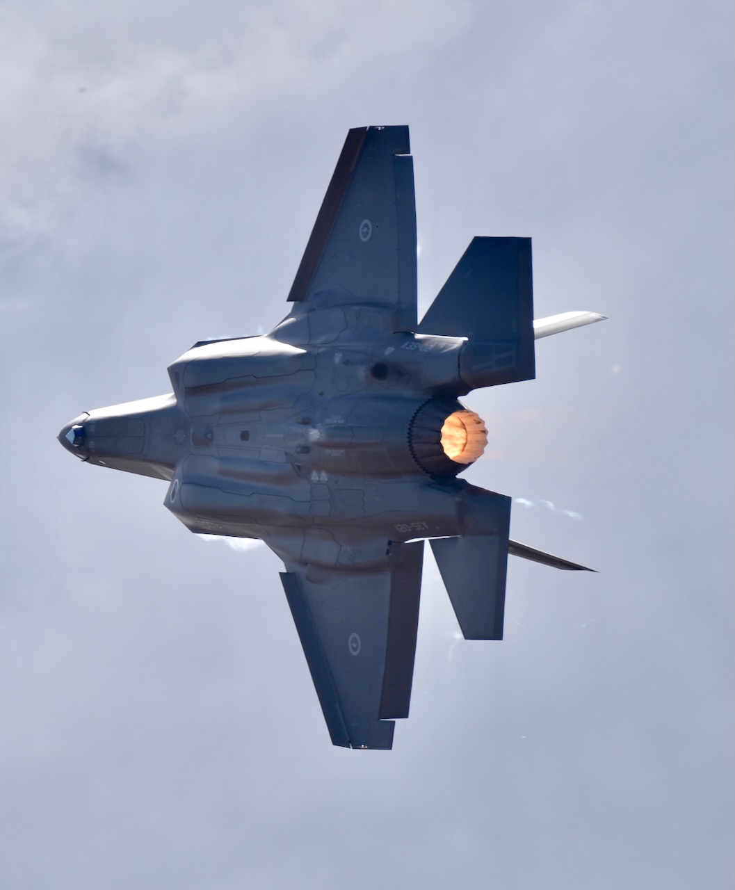
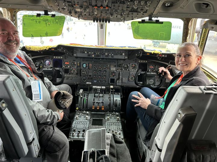
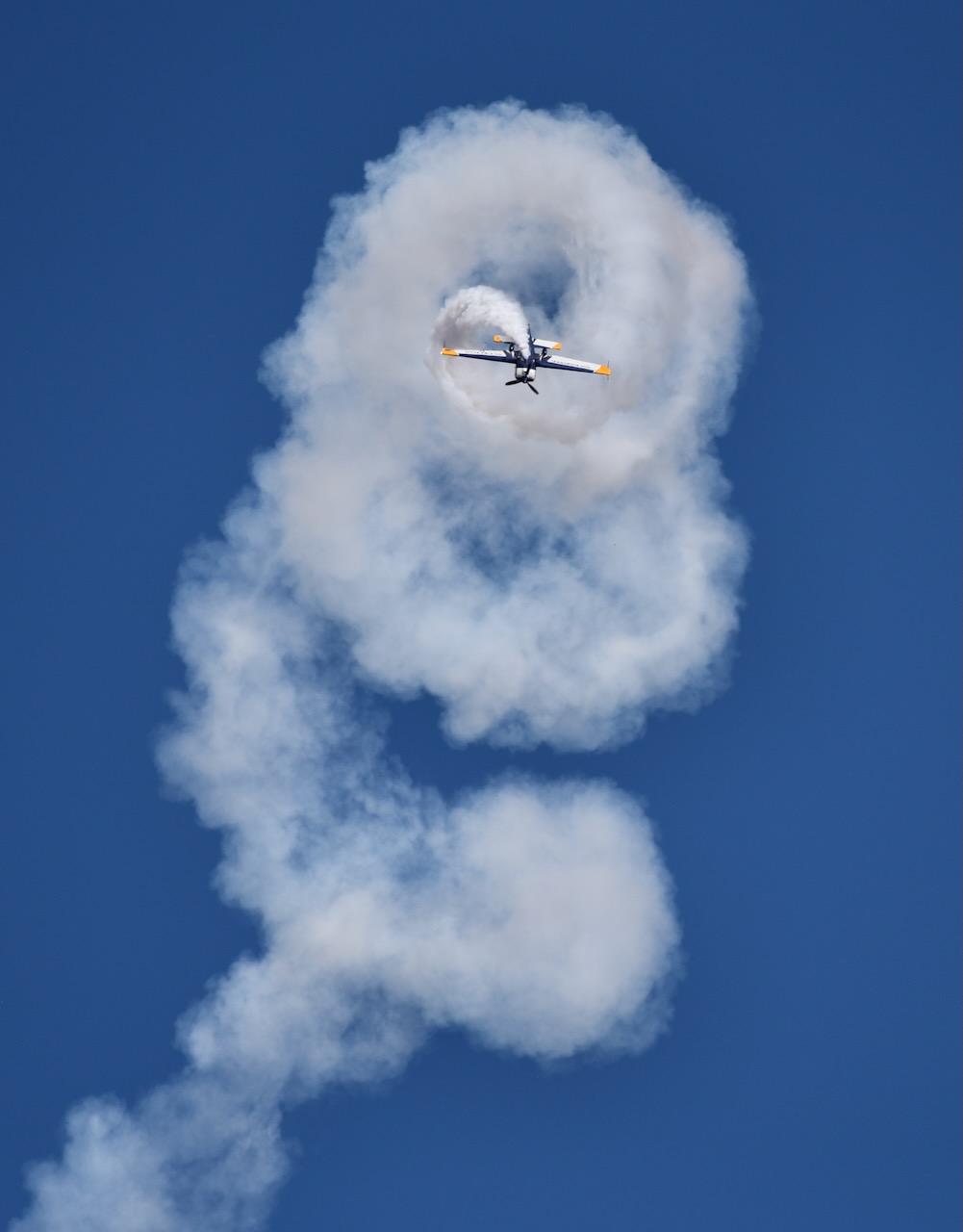
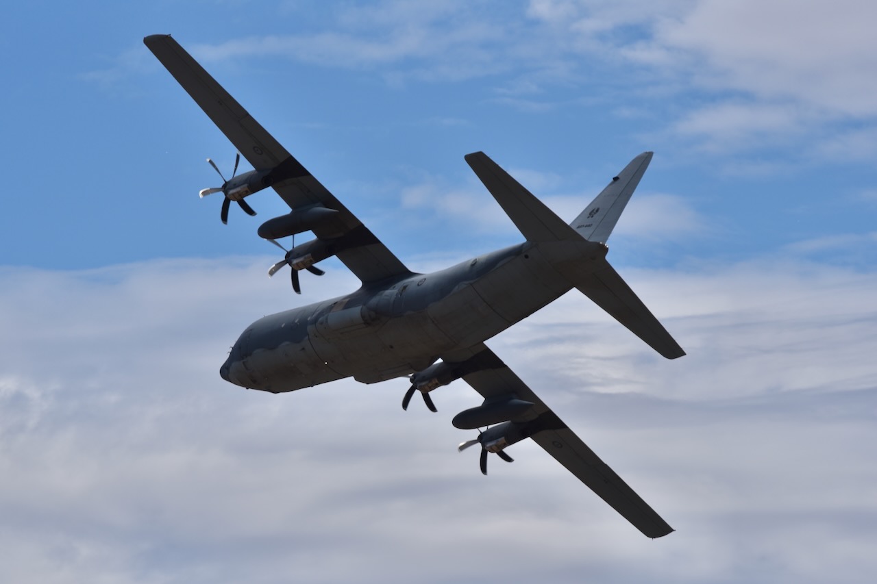
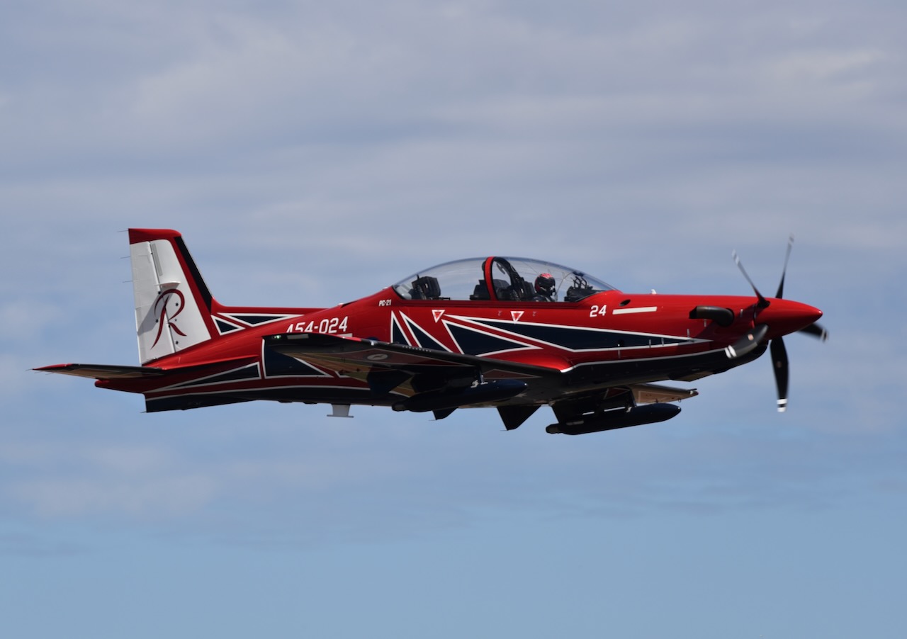
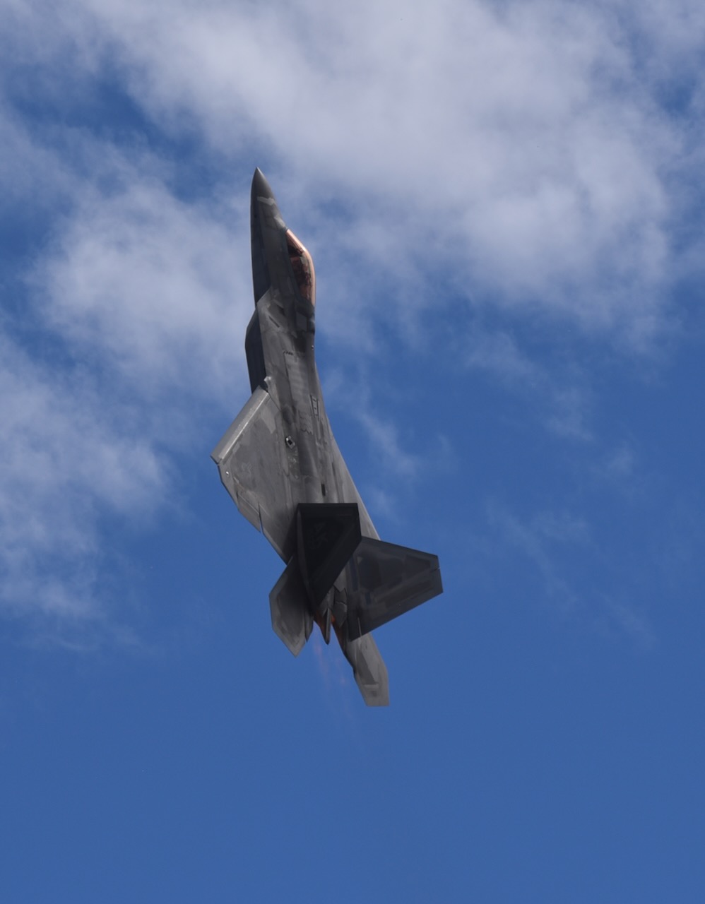
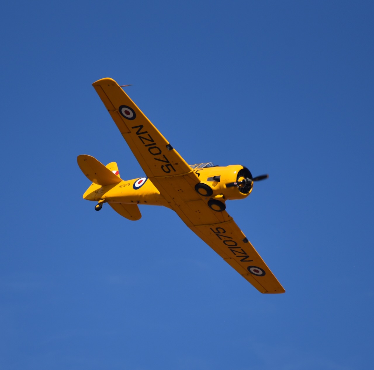
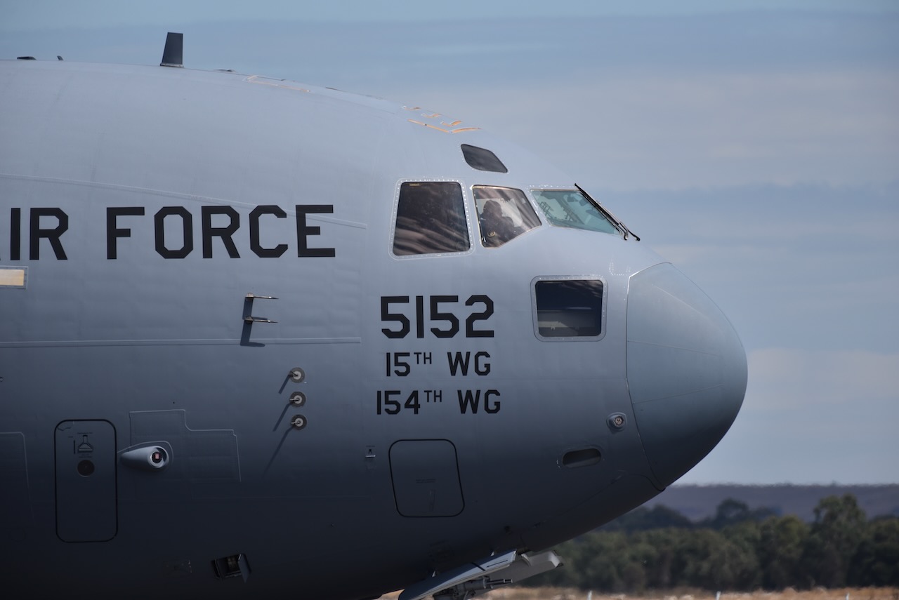
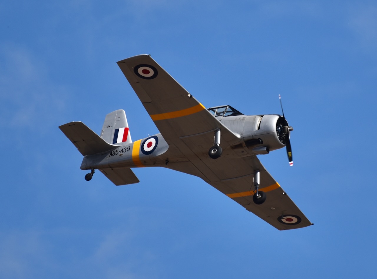
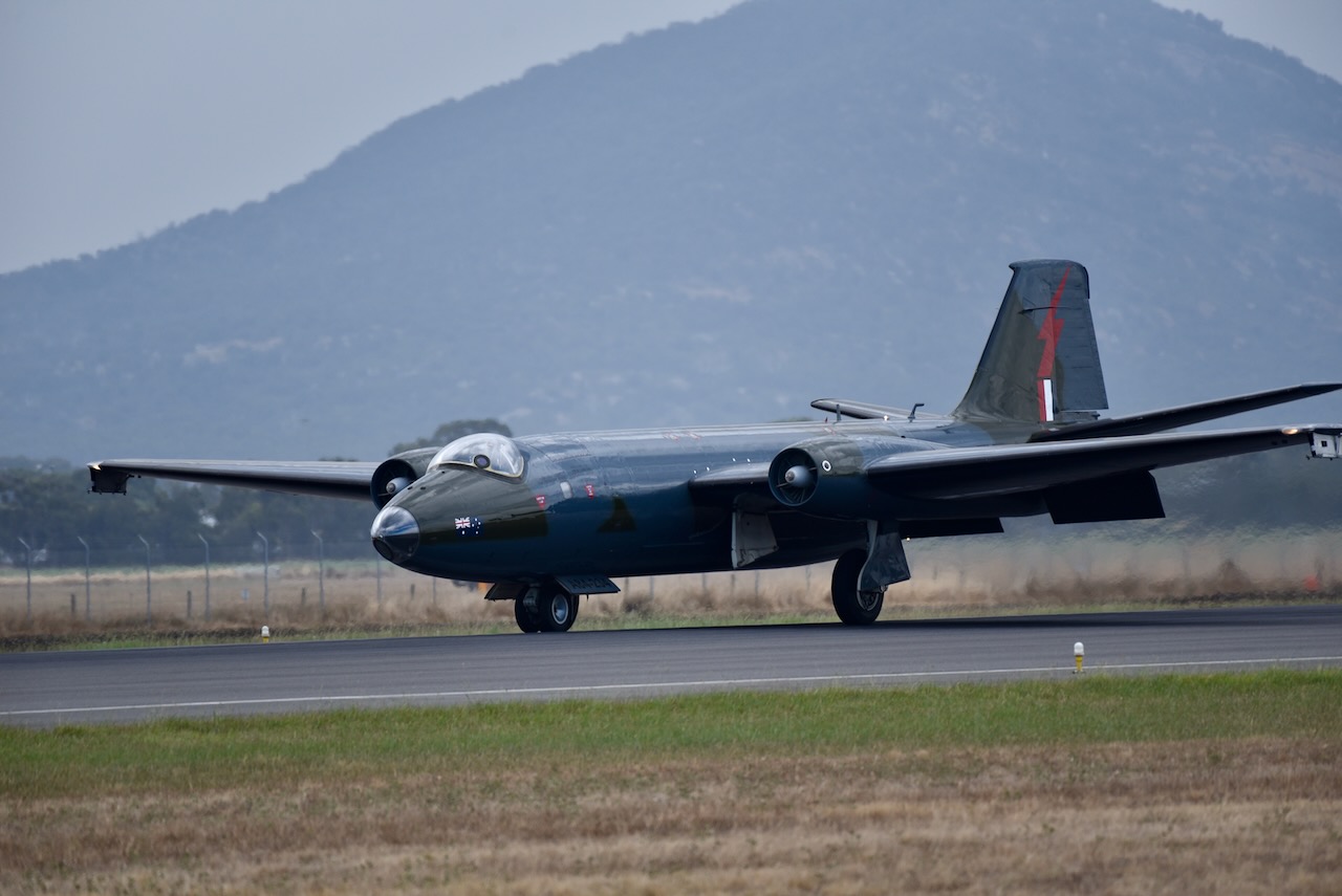
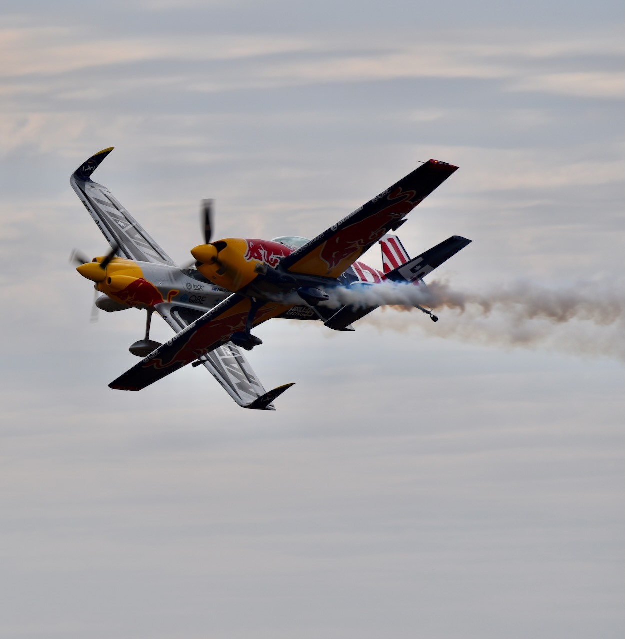
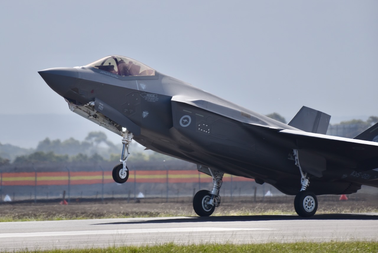
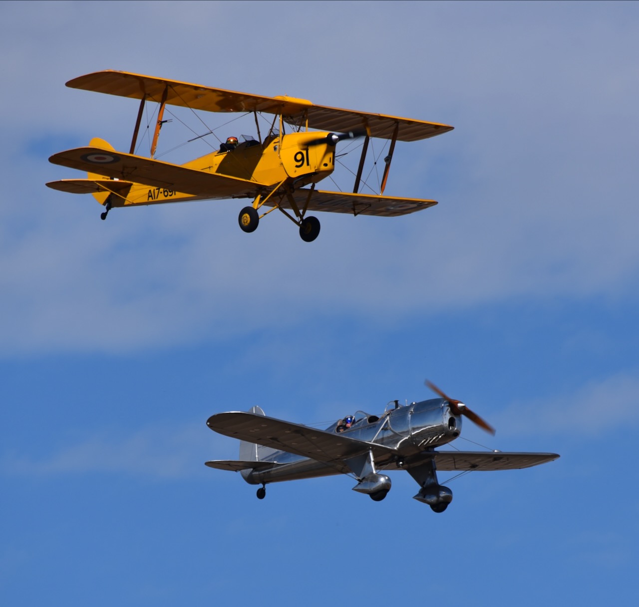
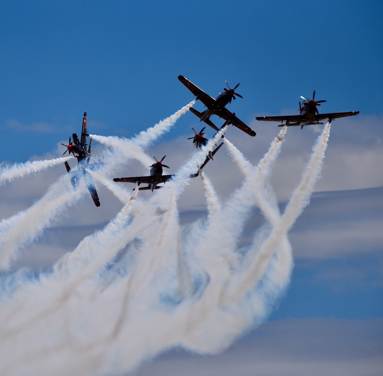
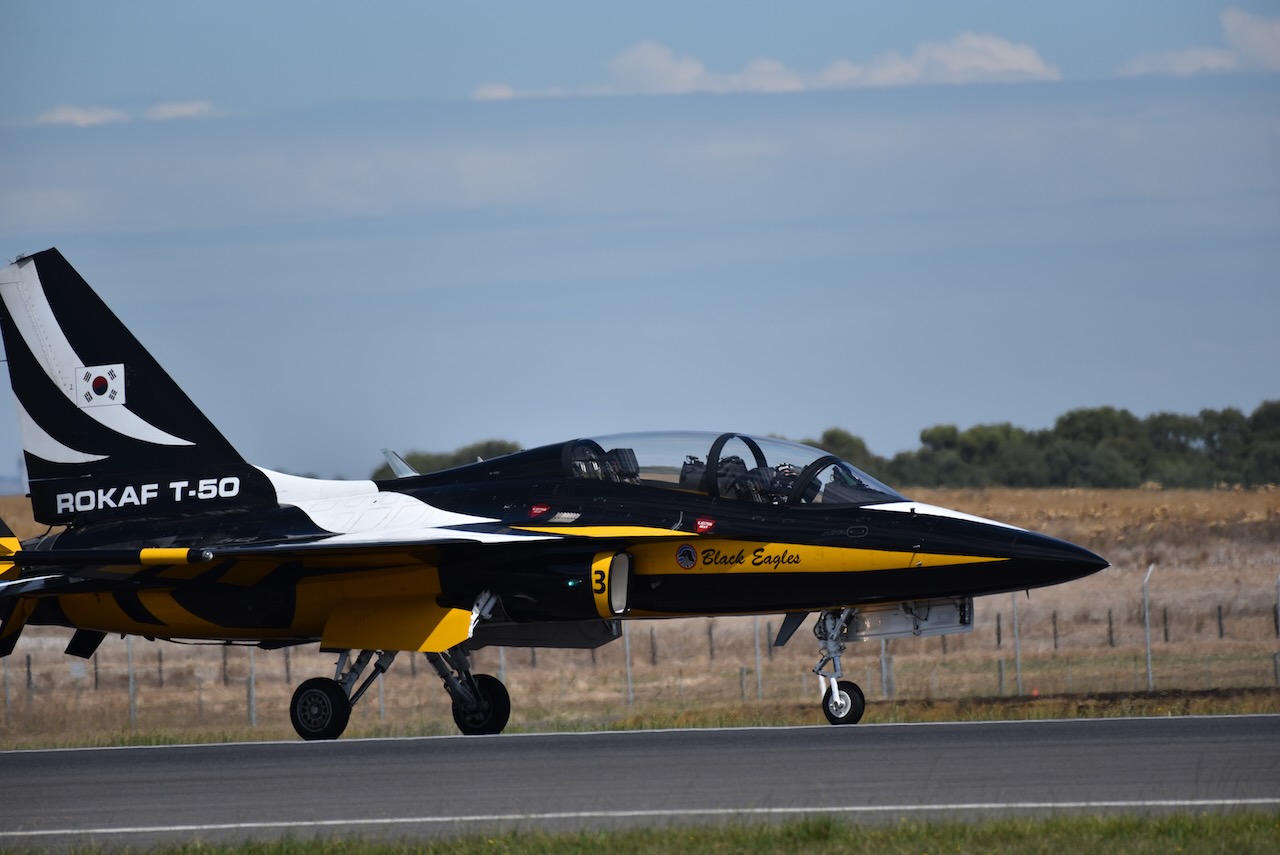
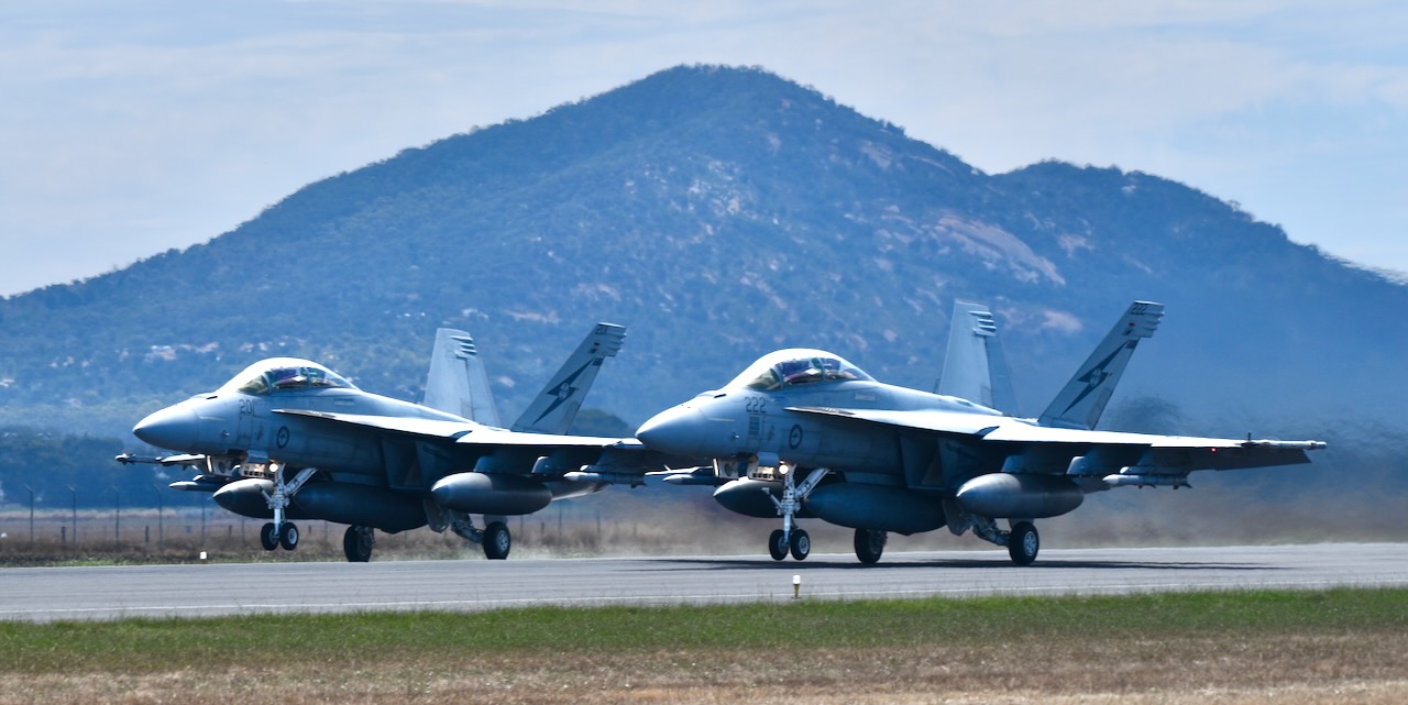
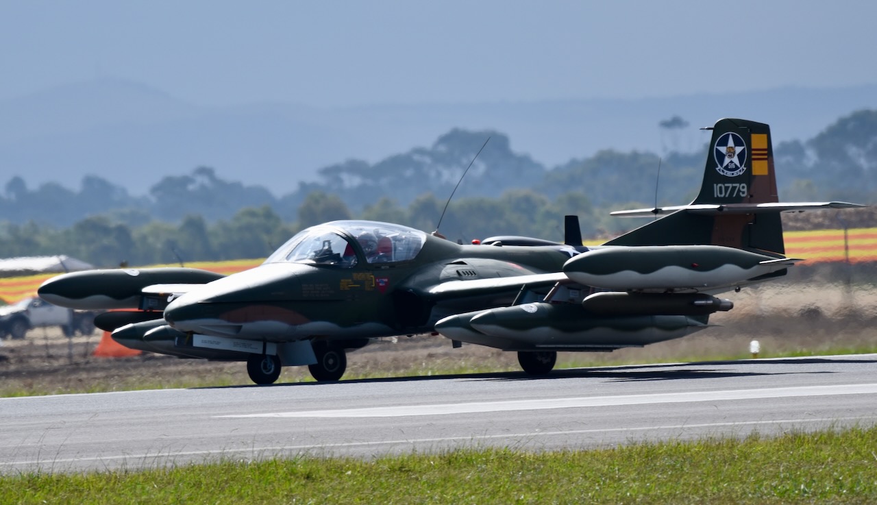
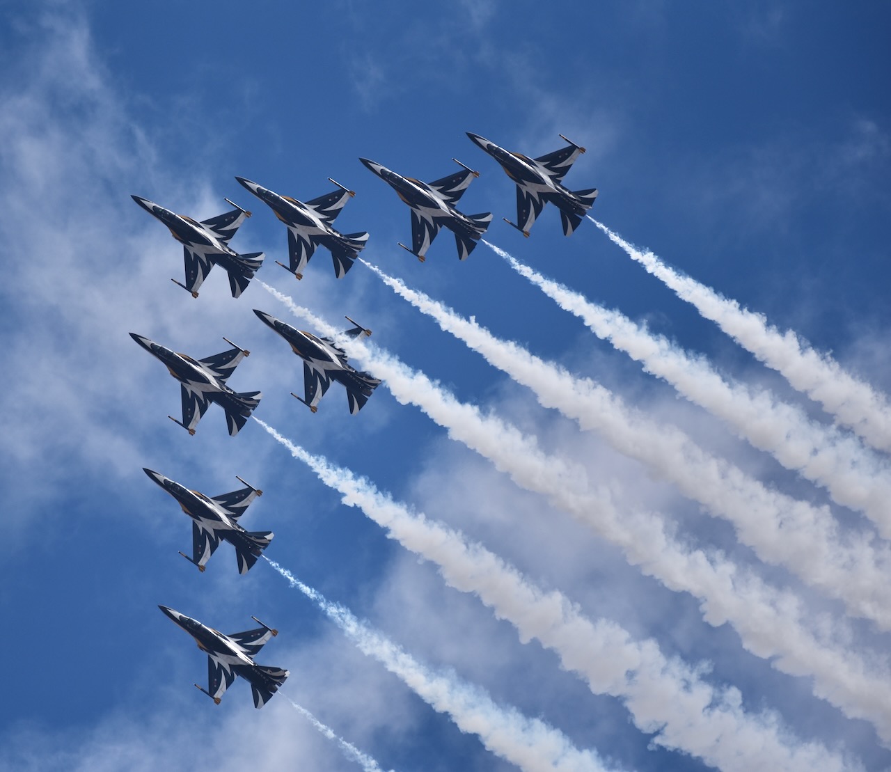
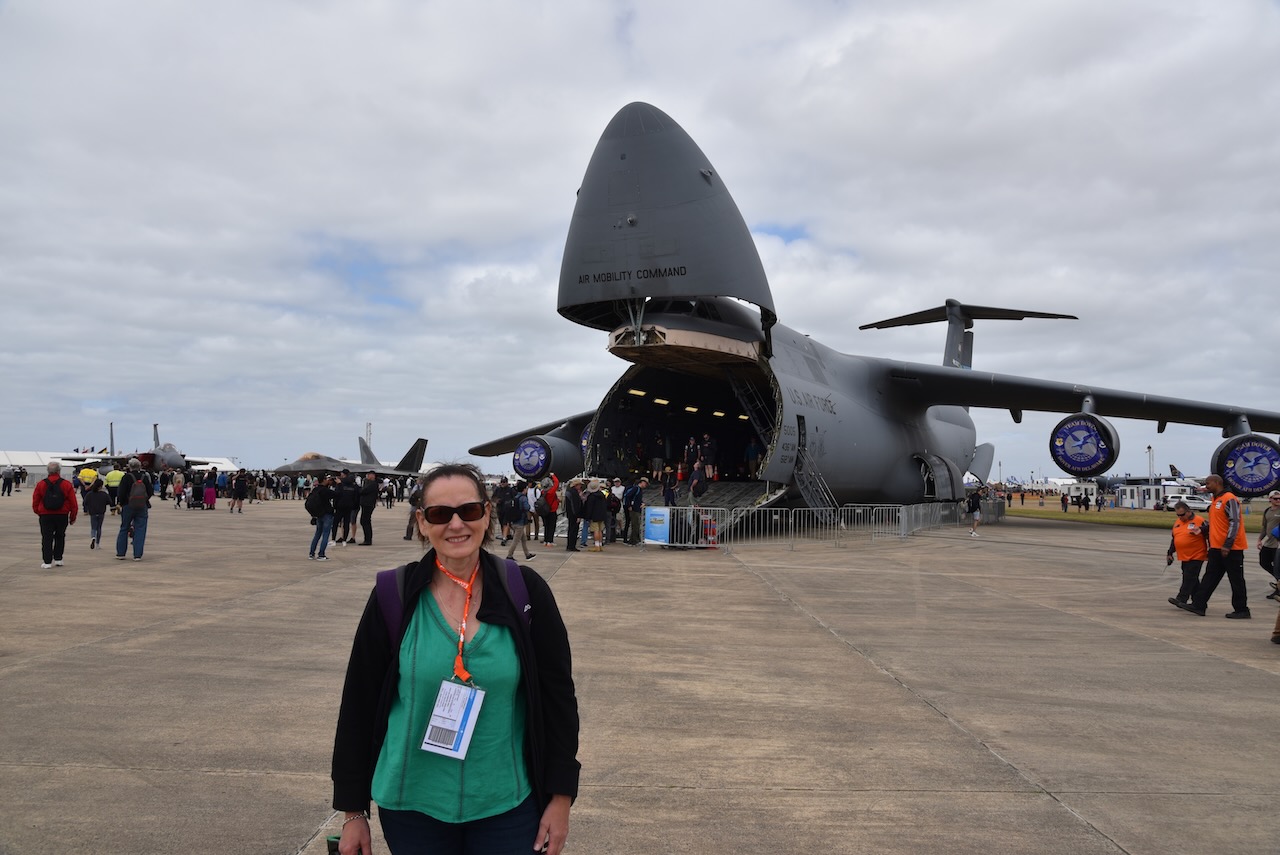
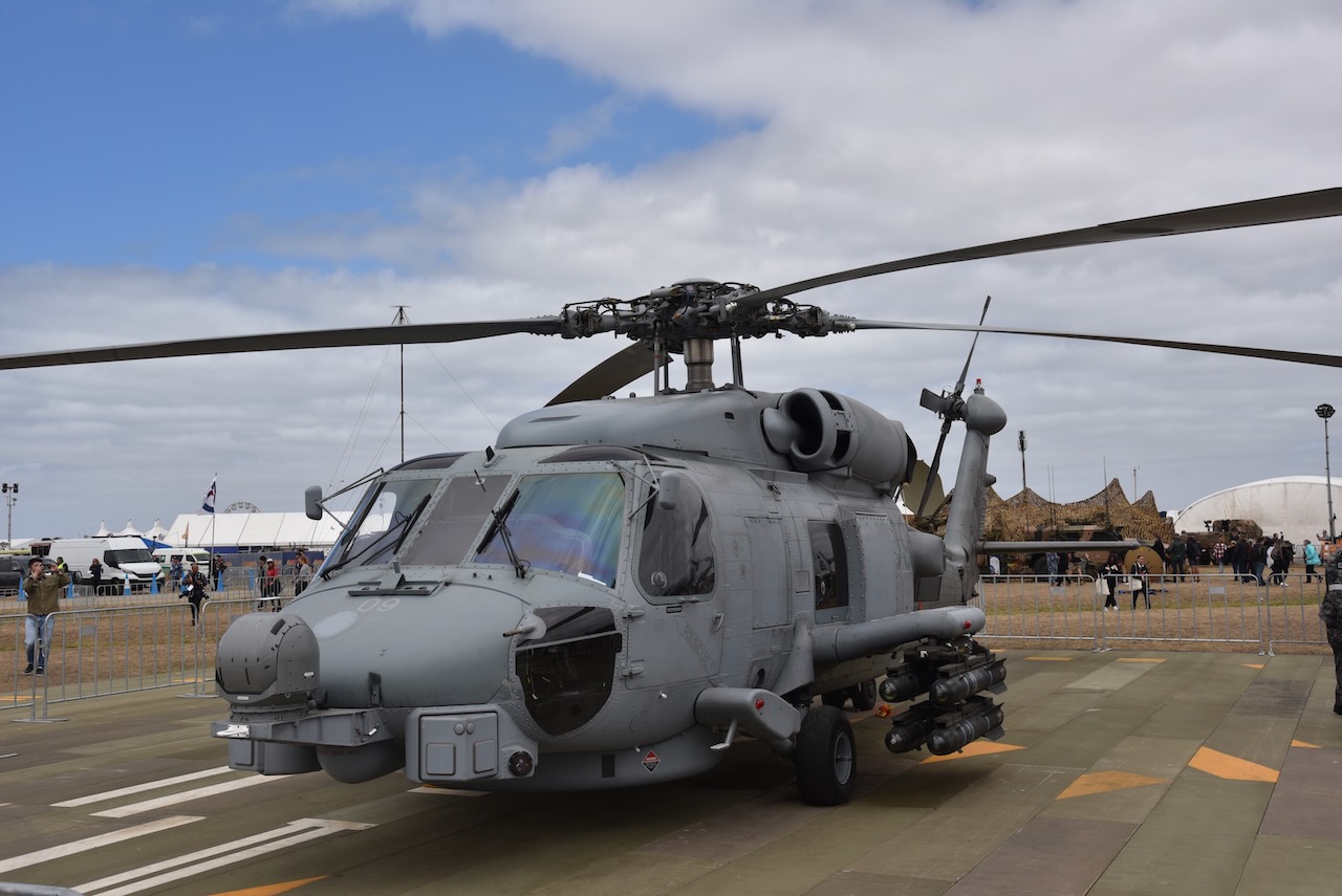
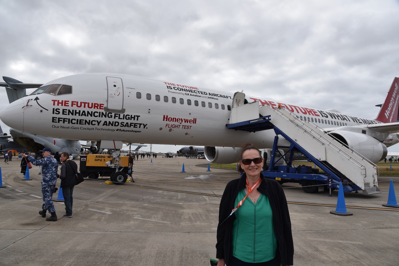
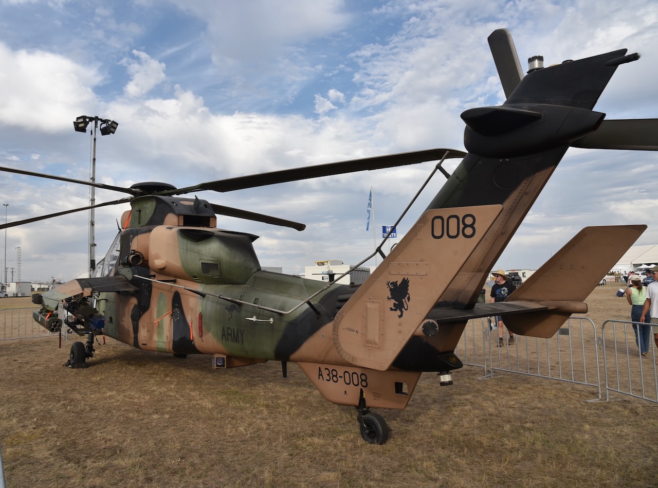
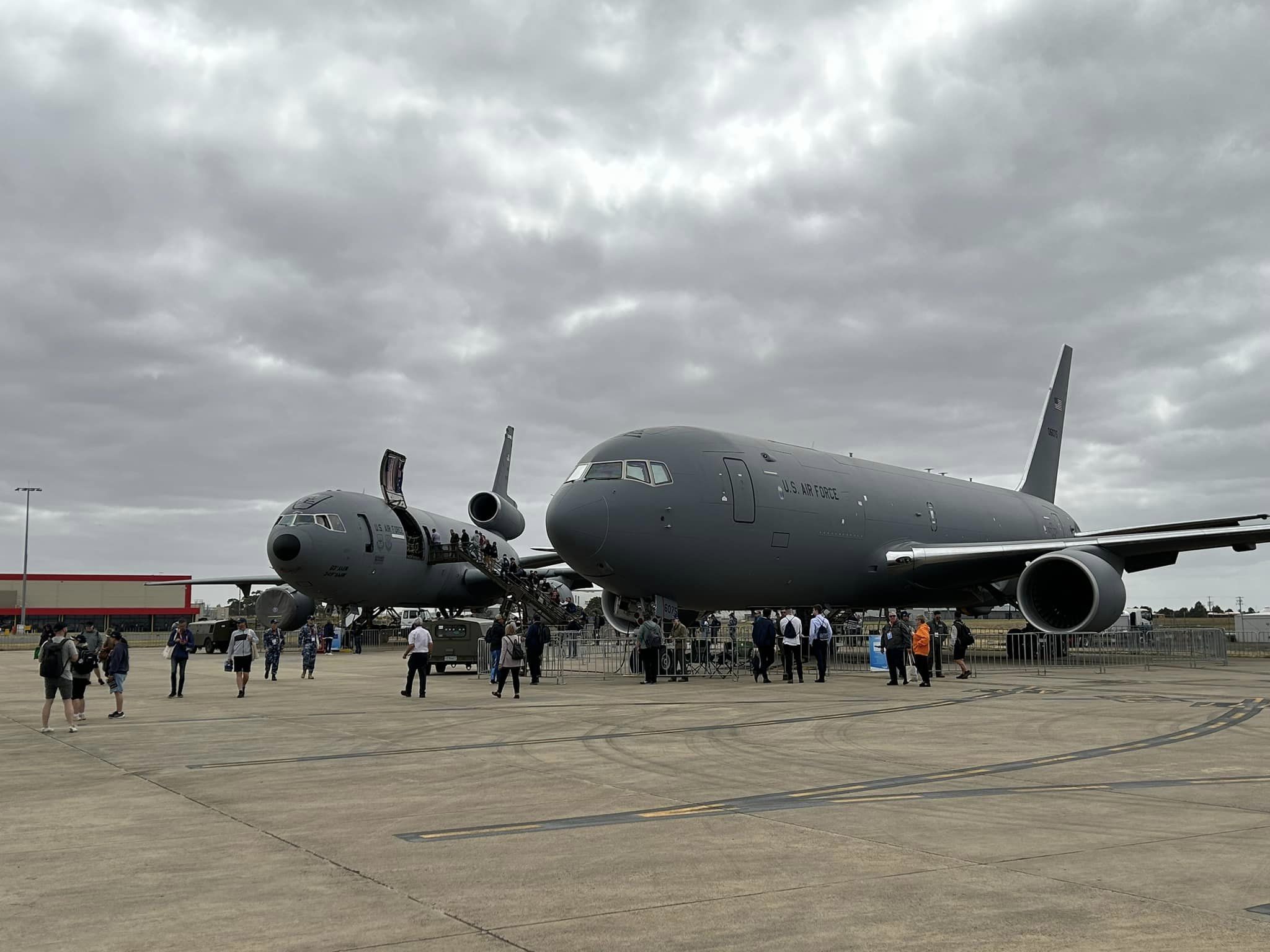
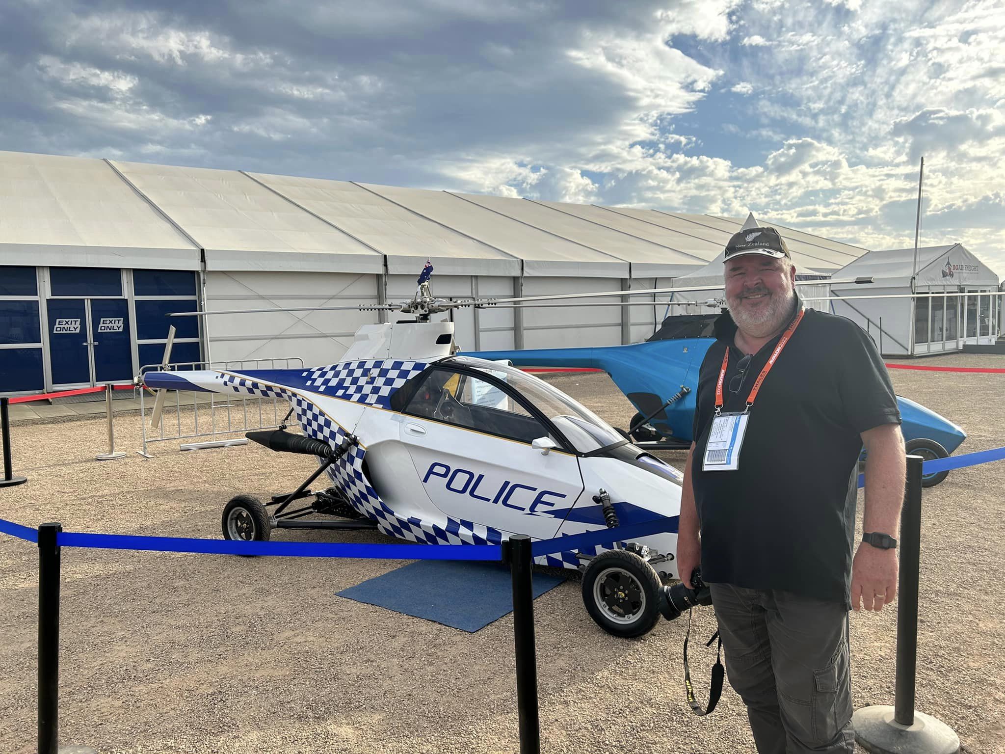
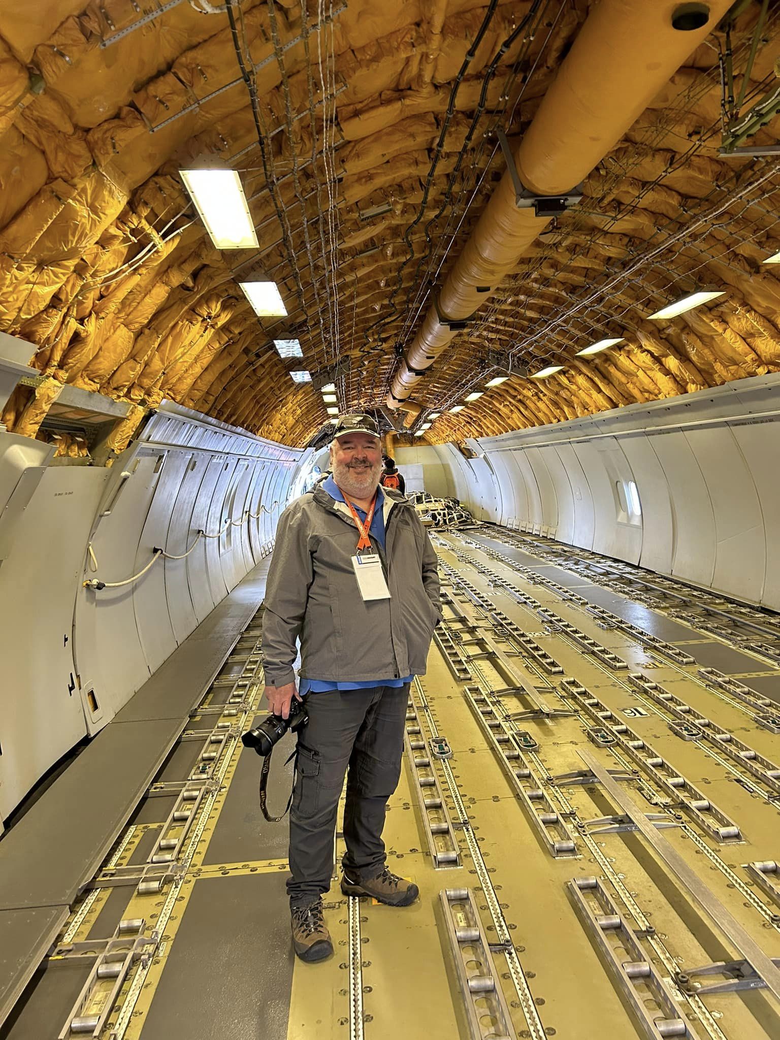
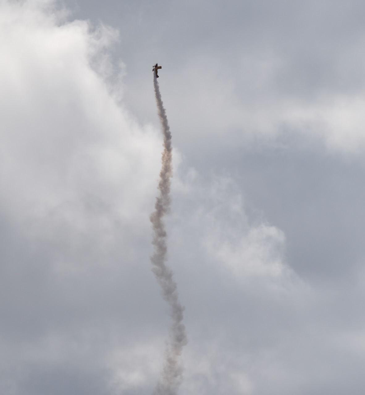
Marija and I spent all day Friday 3rd, Saturday 4th, and Sunday 5th March 2023, at the Australian International Air Show at Avalon. We lashed out and had Gold tickets and were in a grandstand right in front of the runway. It was a brilliant three days.
The highlights for me were the South Korean Black Eagles aerobatic team, the B52 bomber, and the Spitfire.
Below is a small selection of photos that I took.


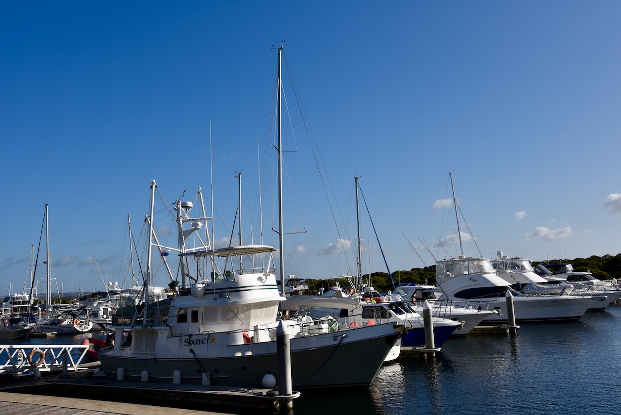
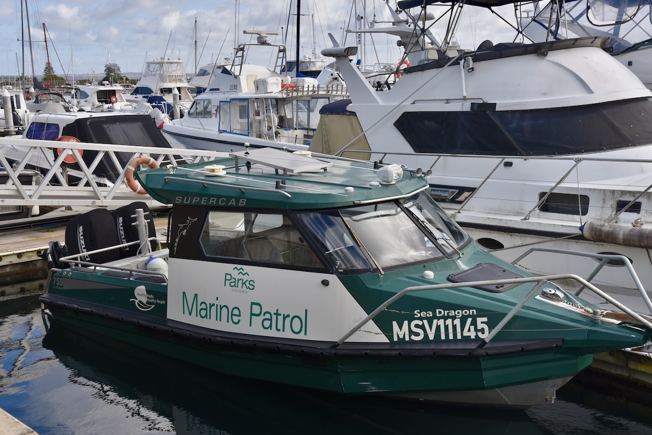
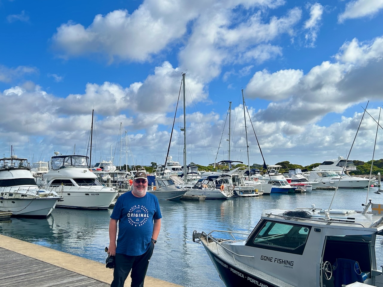
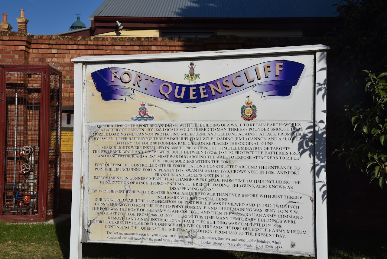
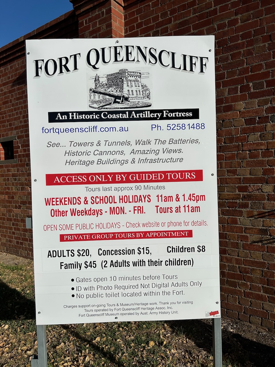
With three days at the Air Show now over, it was Monday 6th March 2023. We had booked in to do a tour of the old Queenscliff Fort on the Bellarine Peninsula. It was a beautiful sunny morning, so Marija and I headed to the Queenscliff Marina and had a beautiful breakfast overlooking the marina.


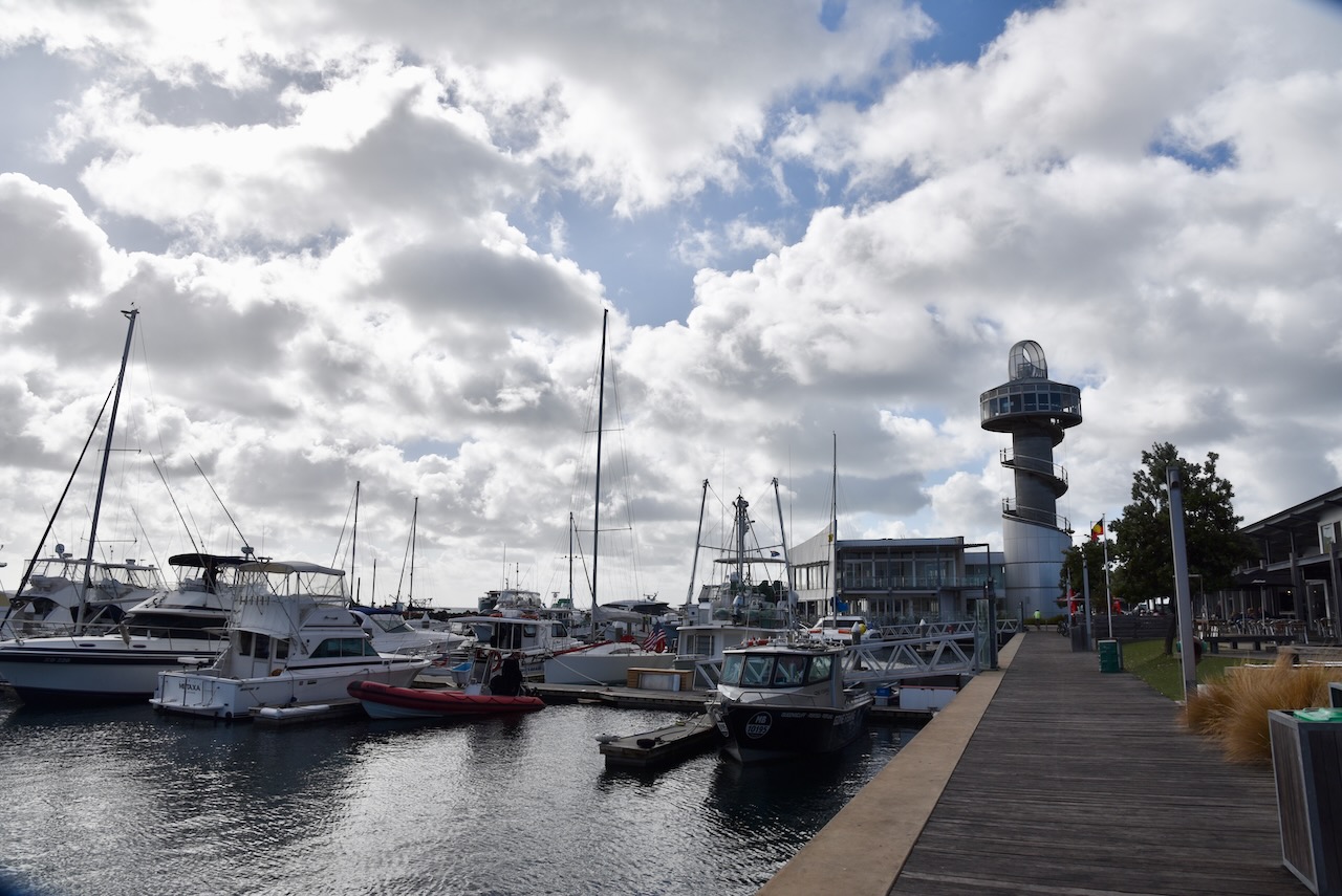

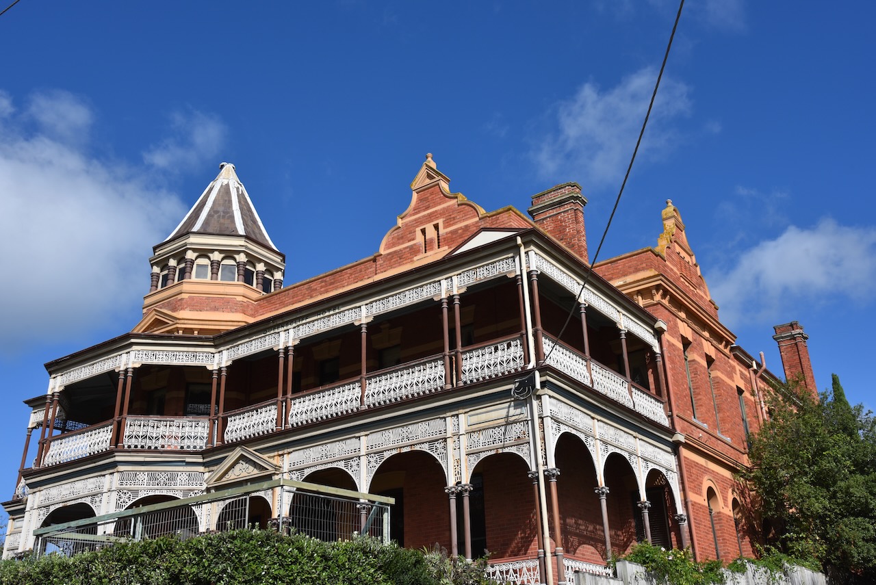
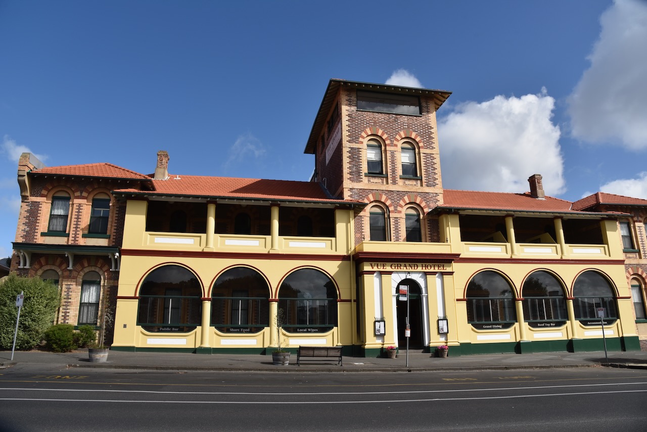
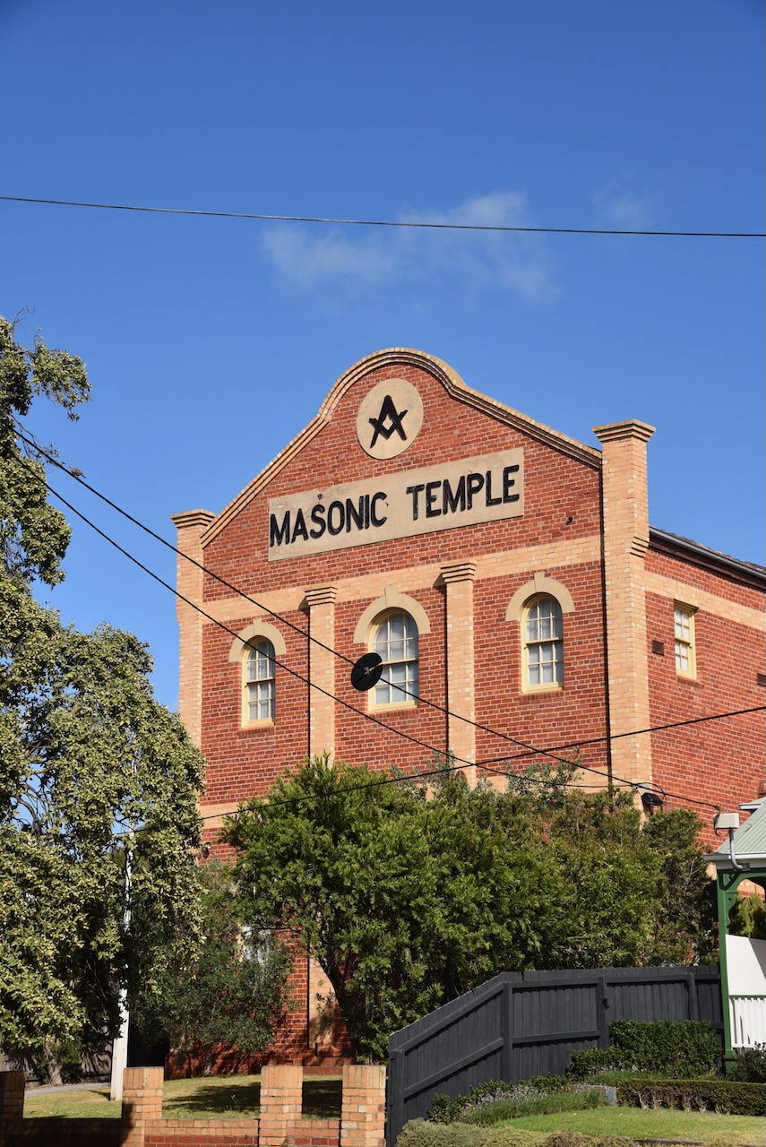
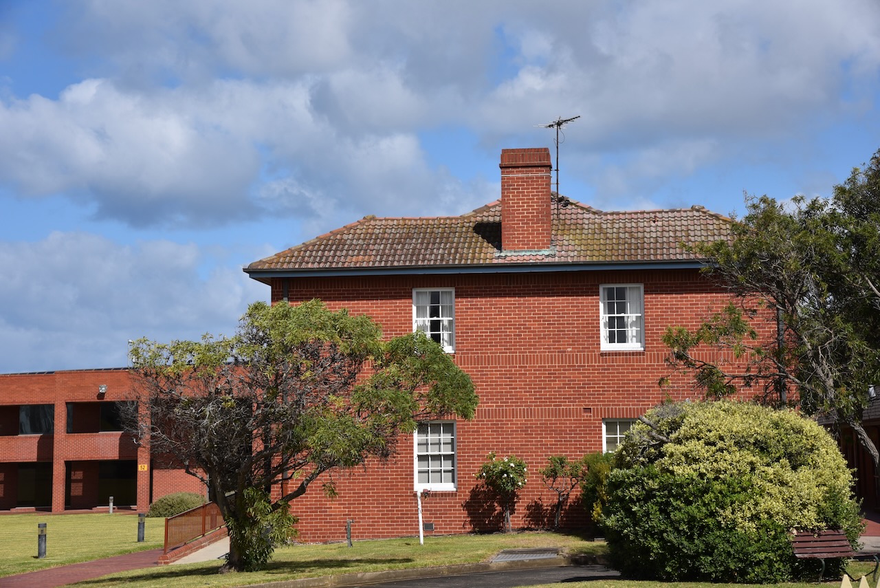
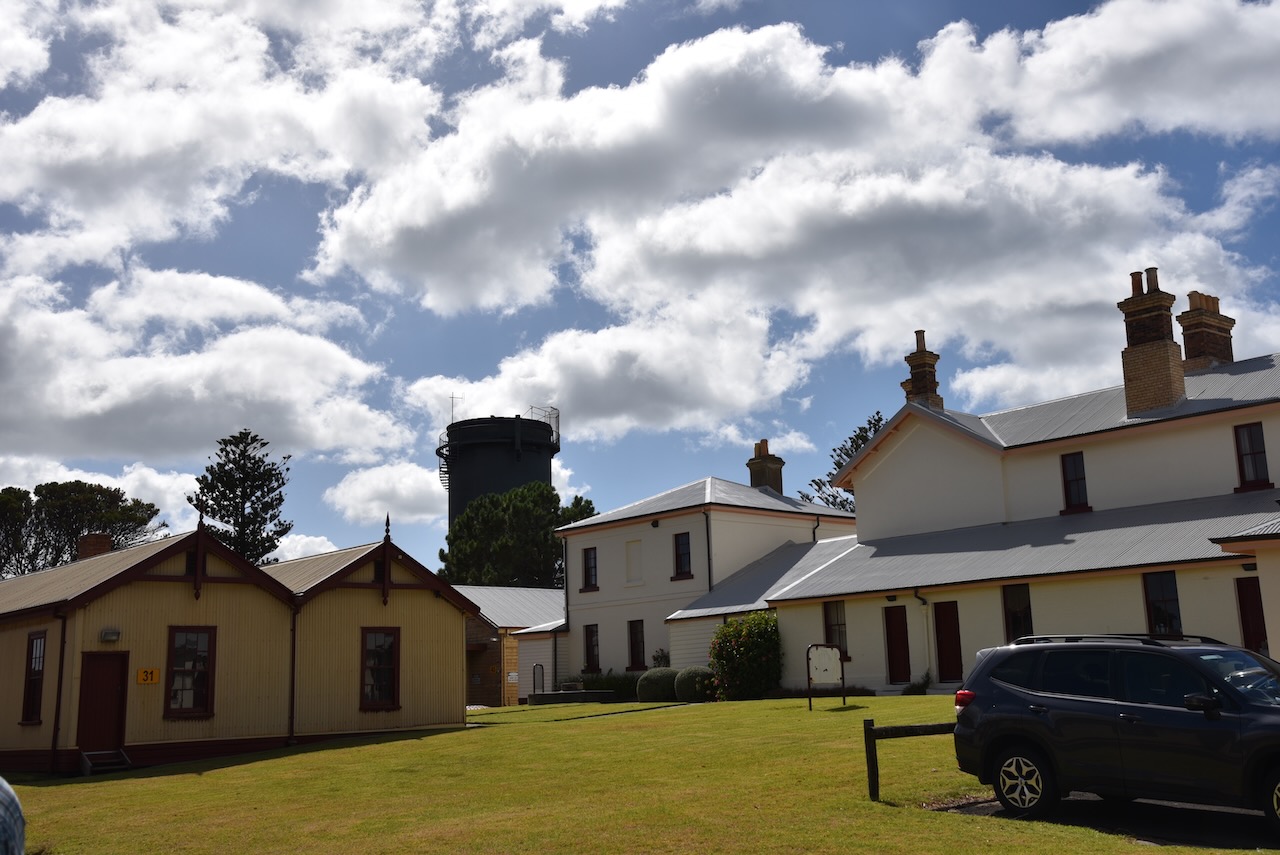
After breakfast, we still had a little spare time before our tour, so we drove around Queenscliff admiring some of the beautiful architecture in the town.

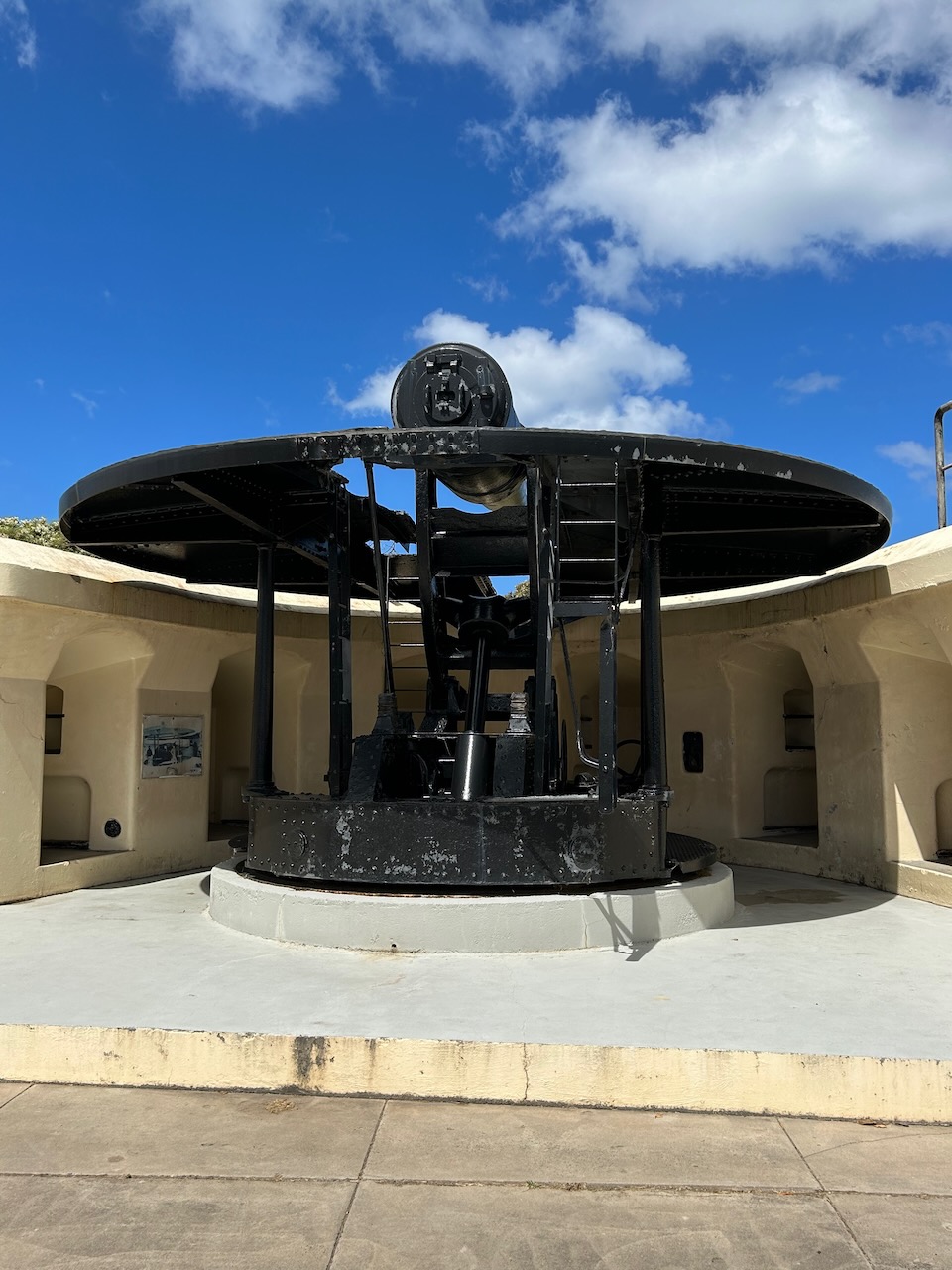
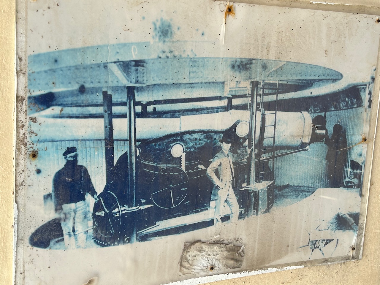
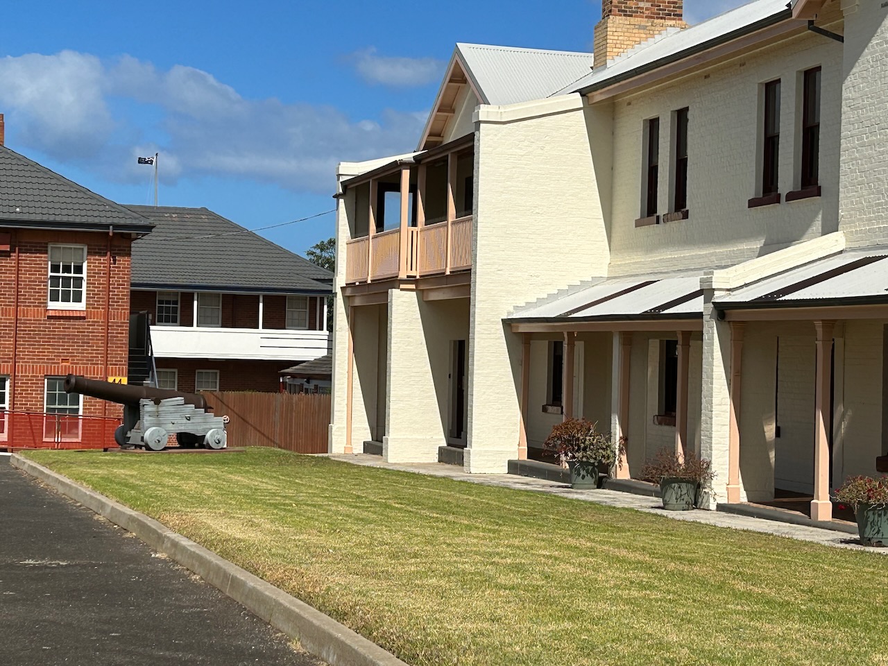
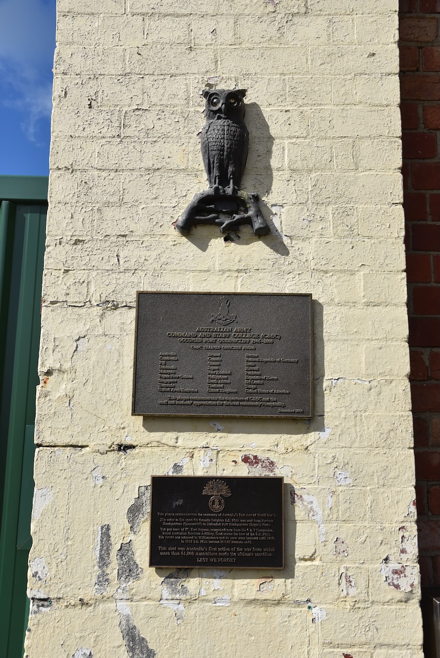
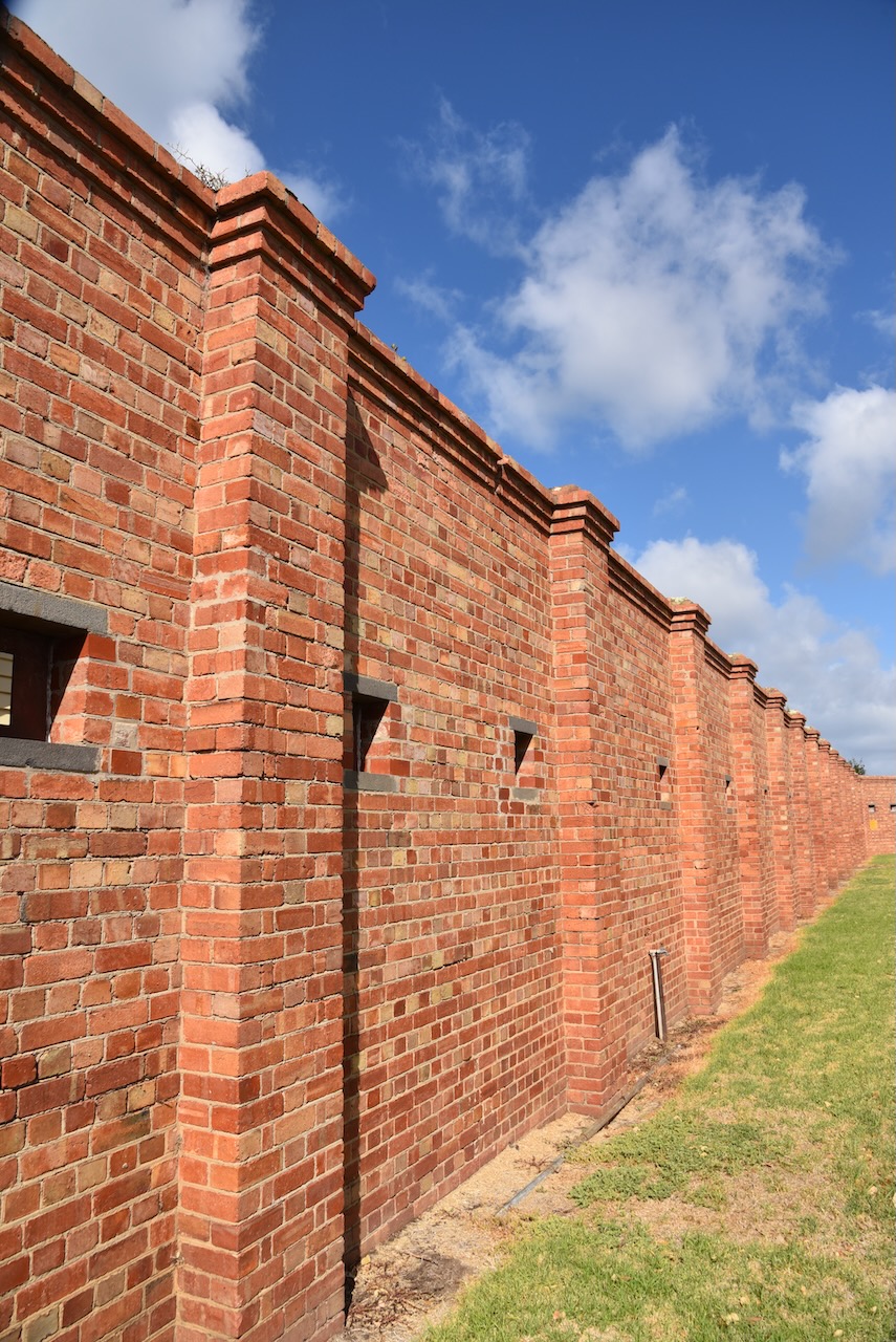
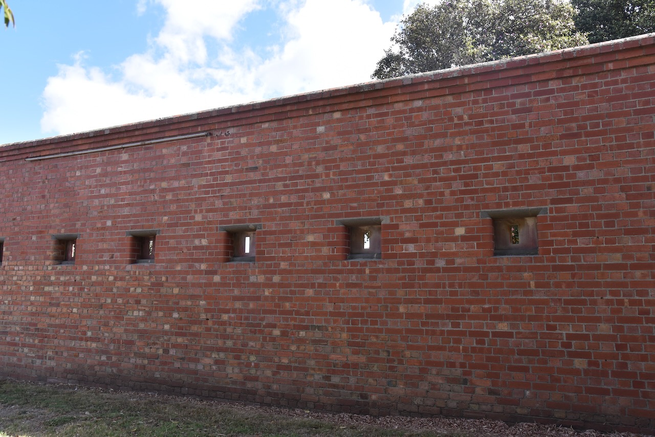
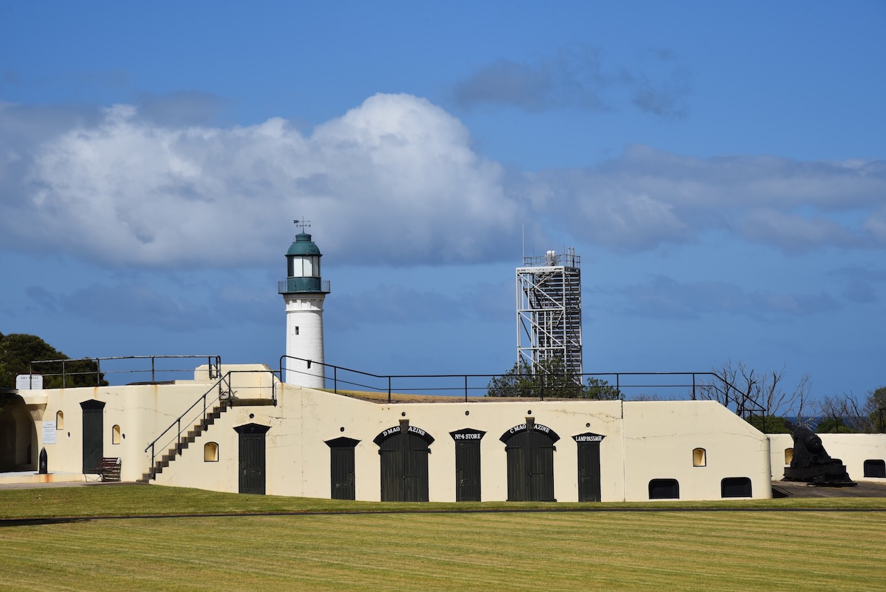
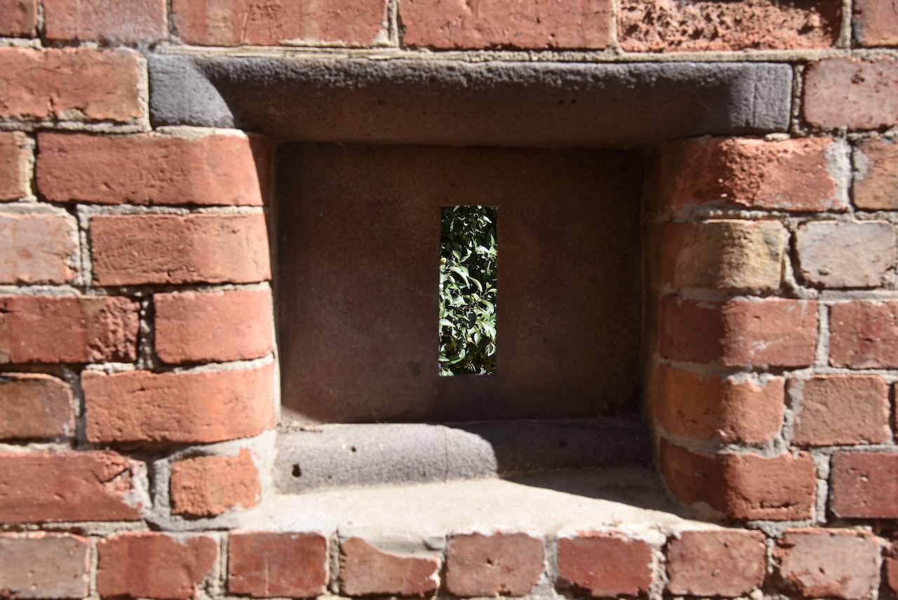
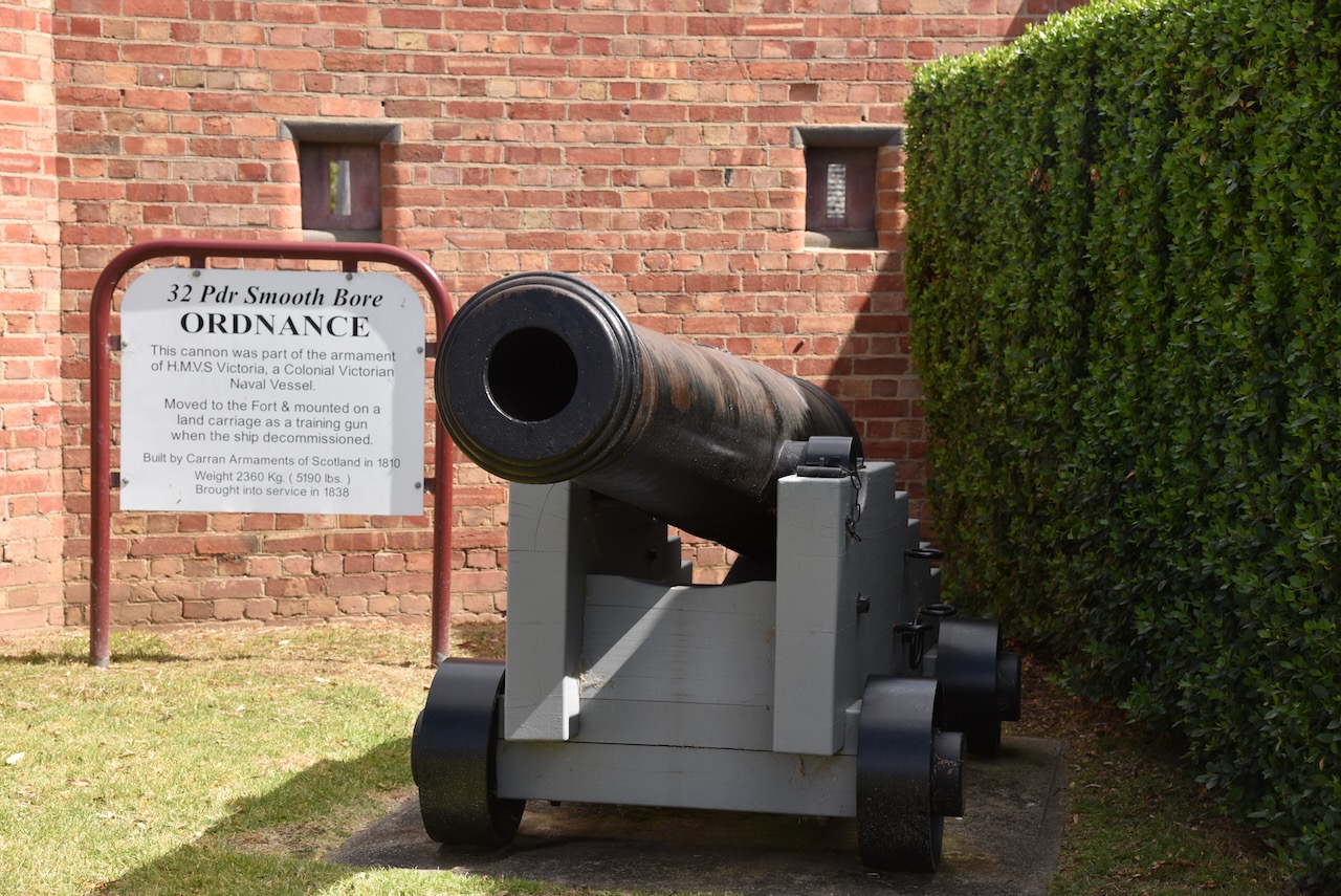
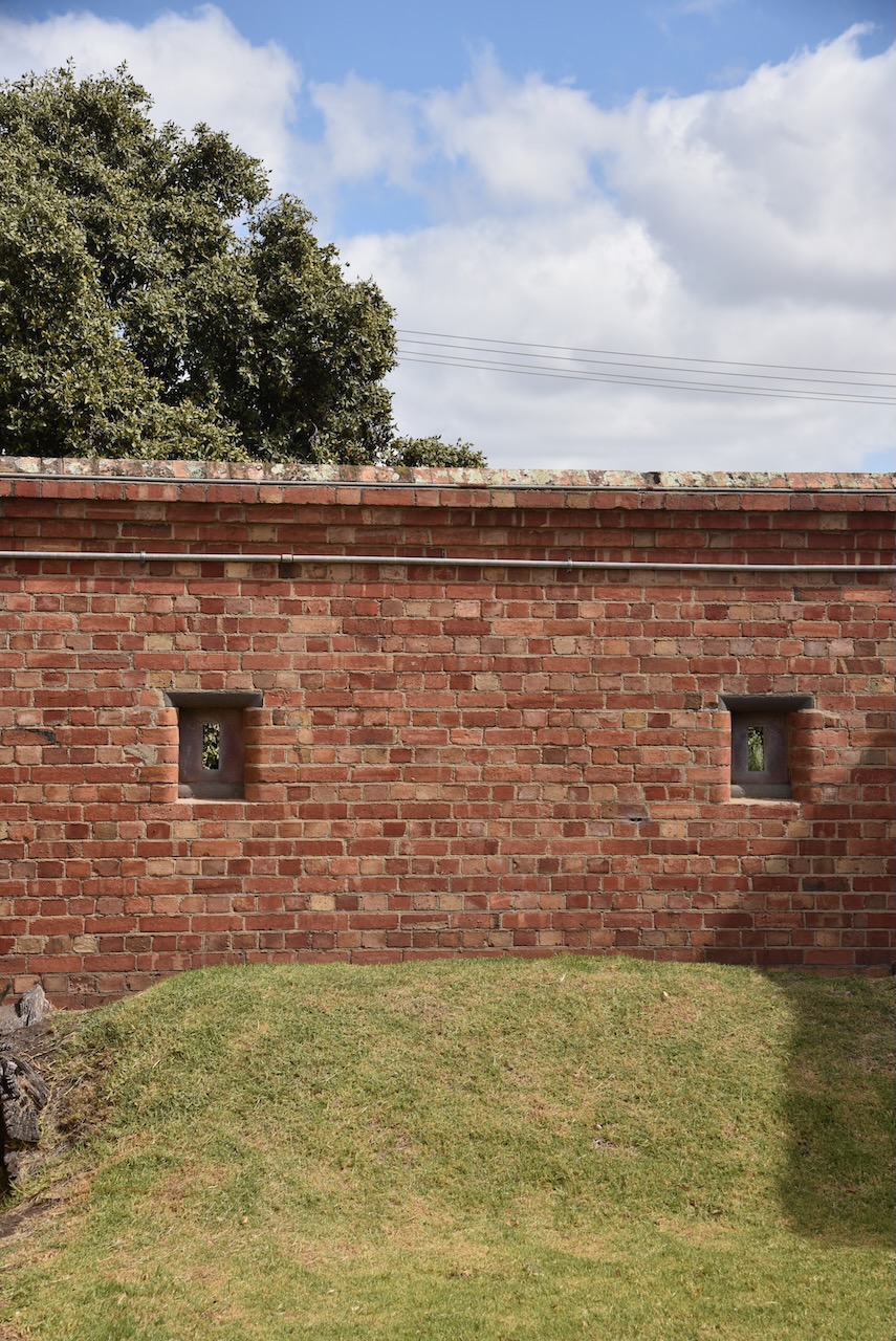
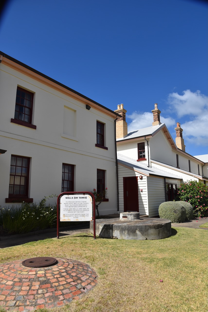
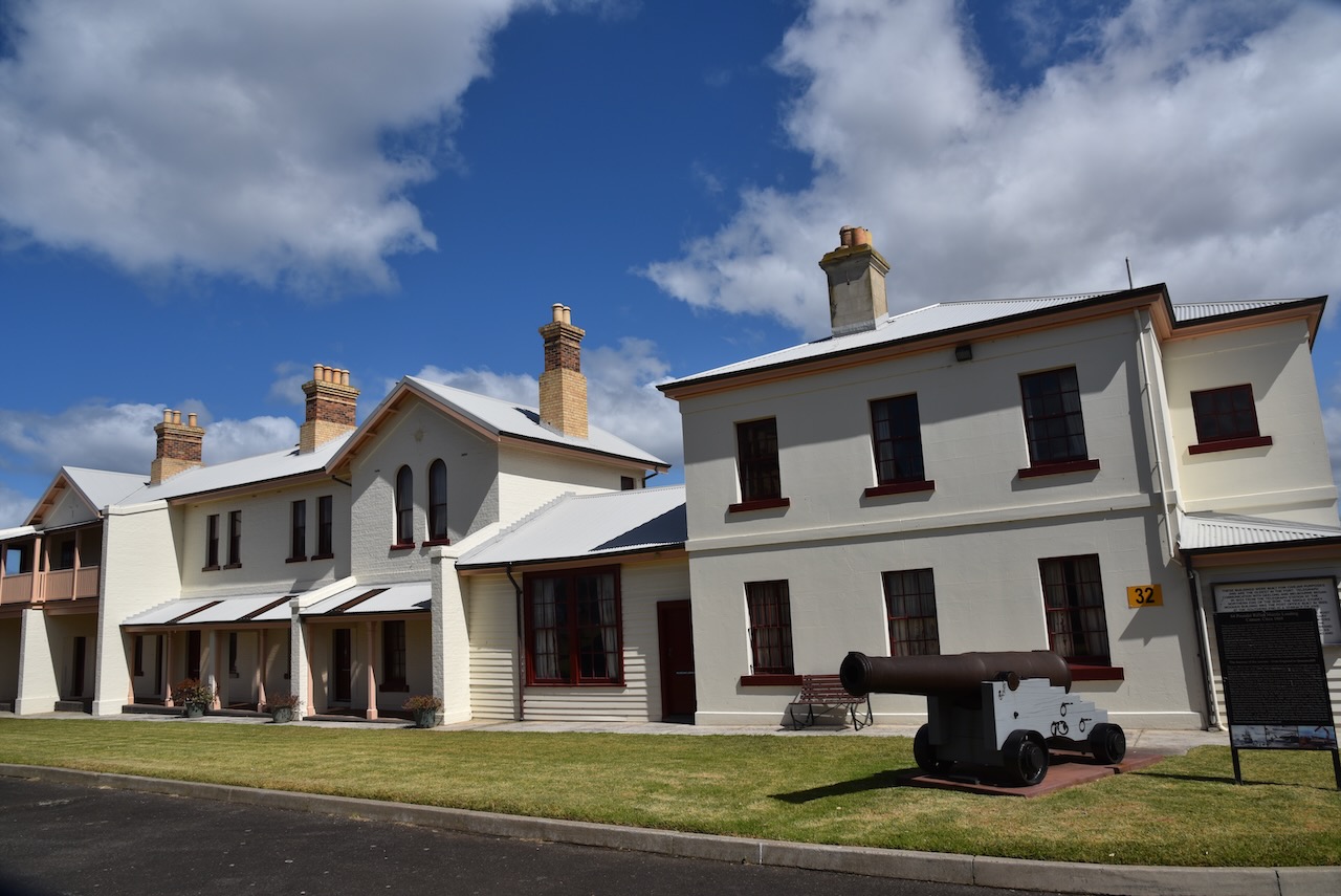
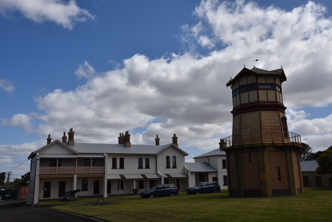
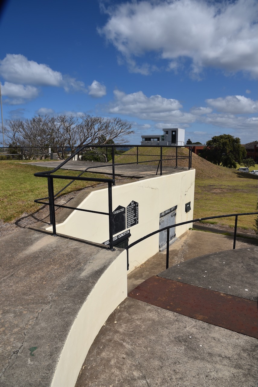
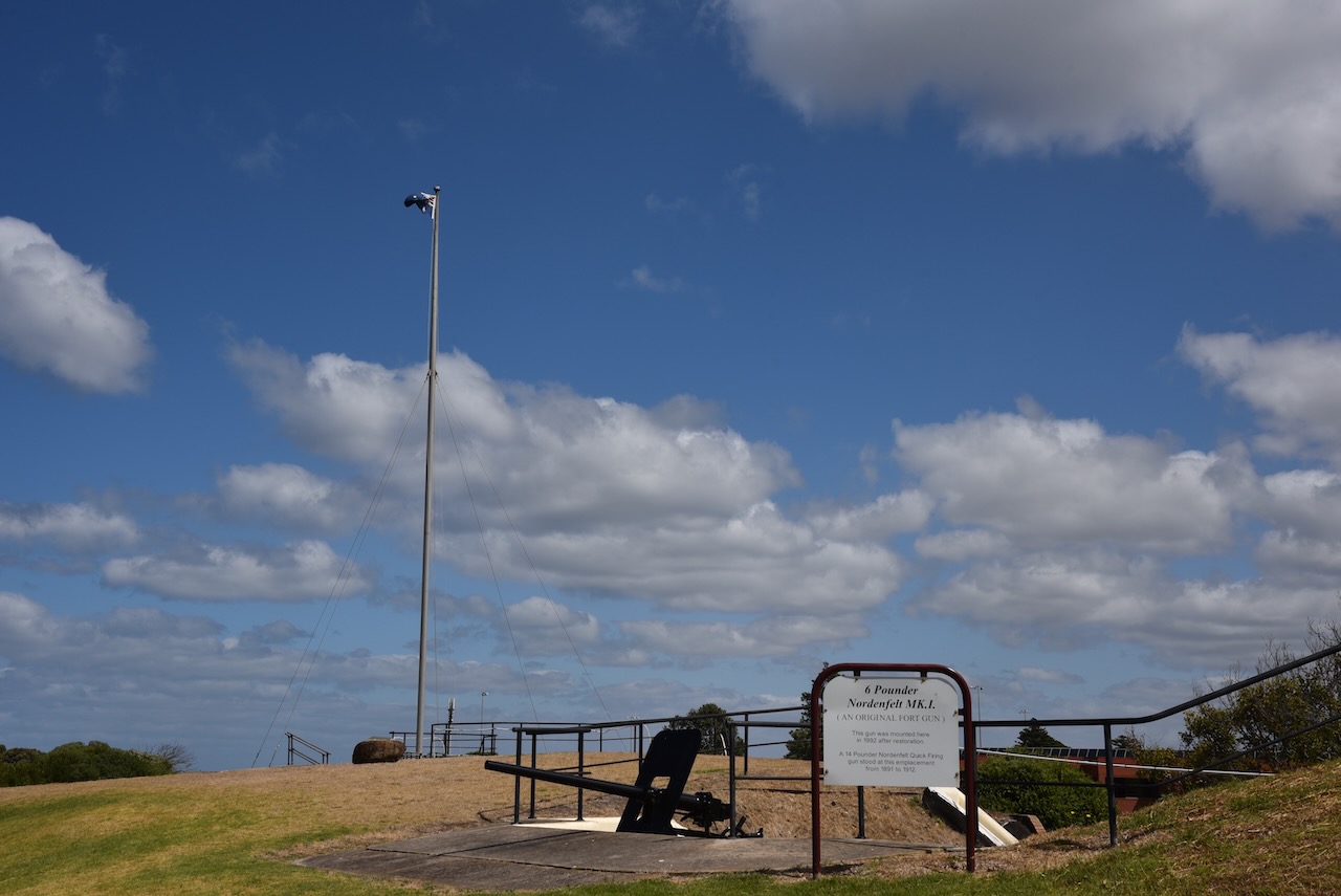
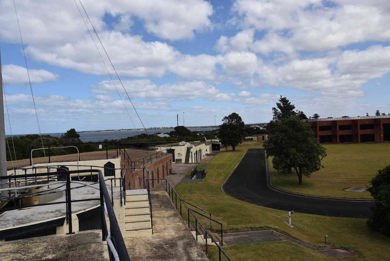
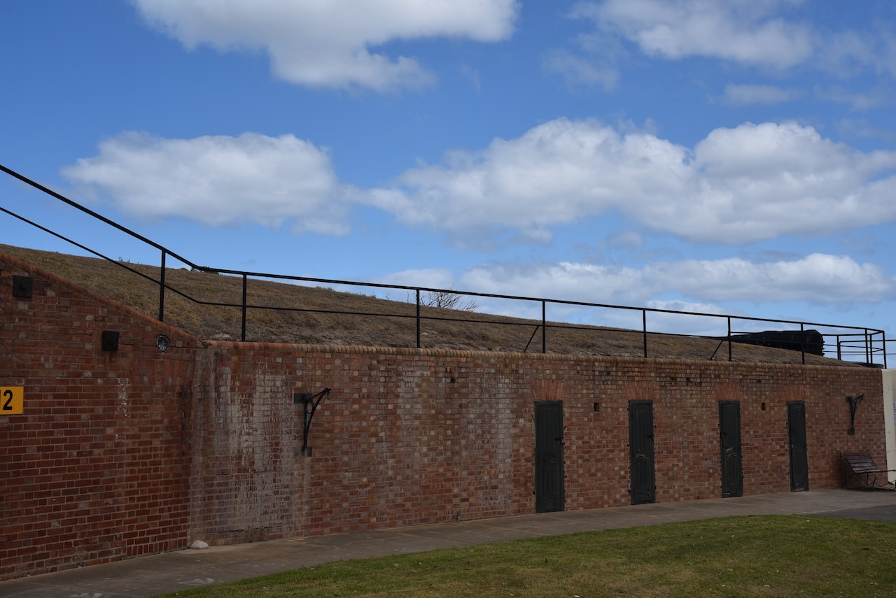
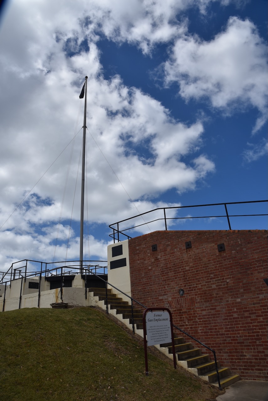
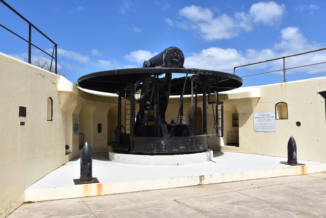
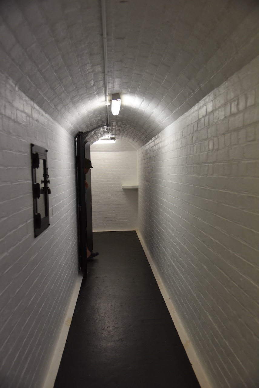
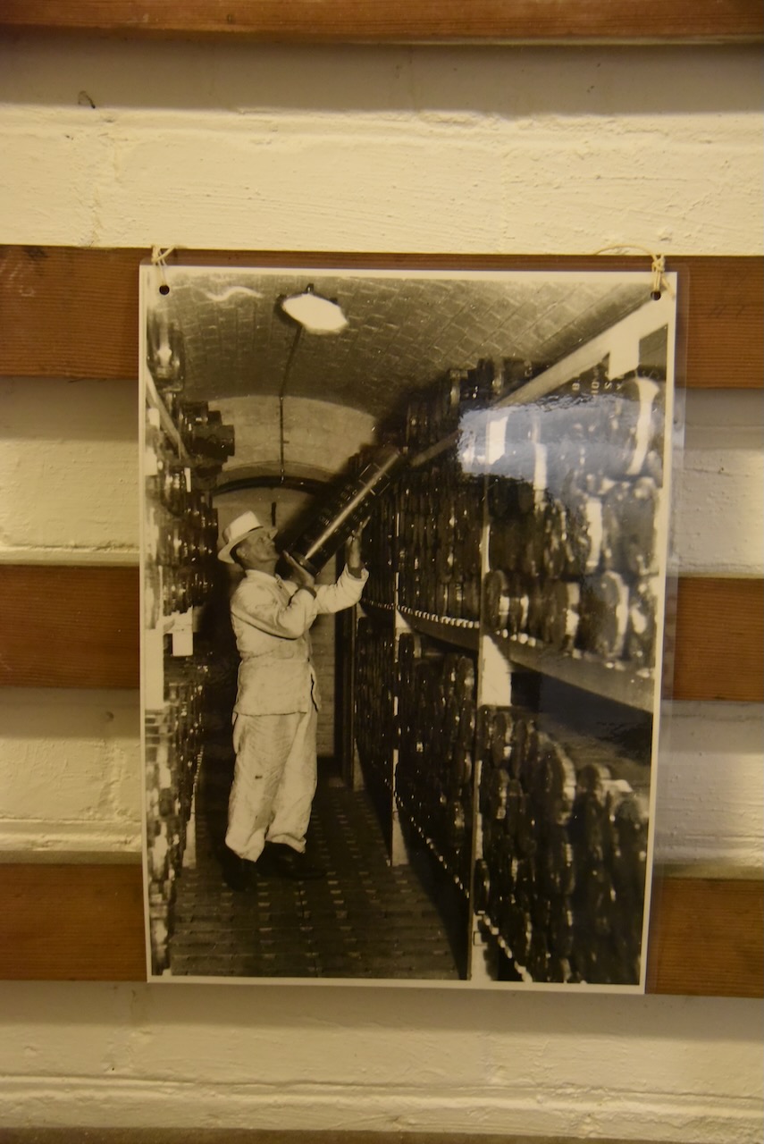
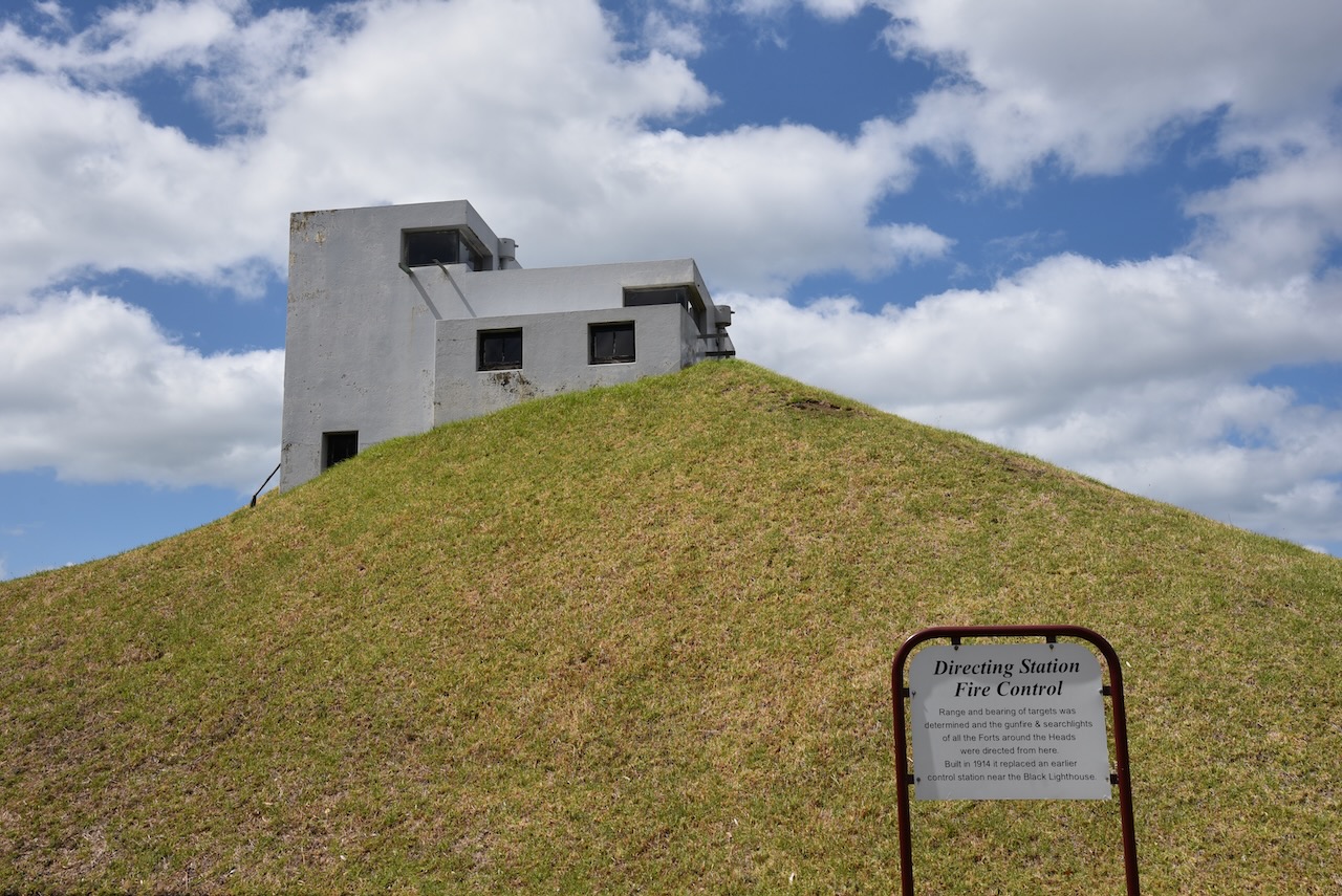
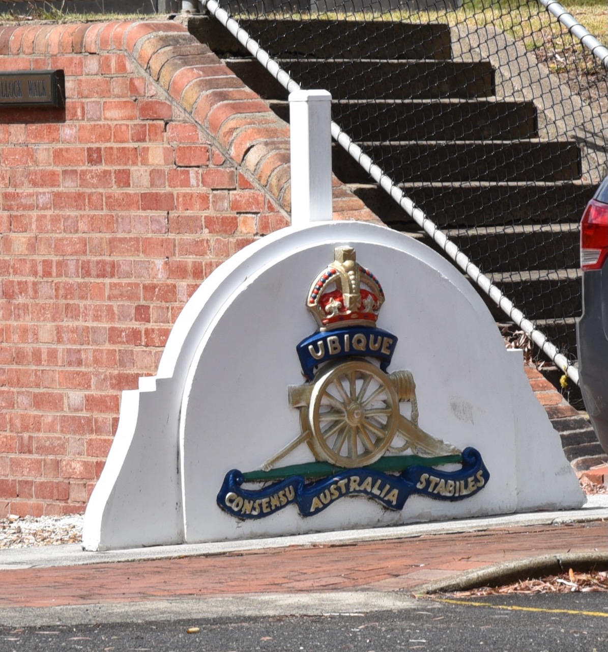
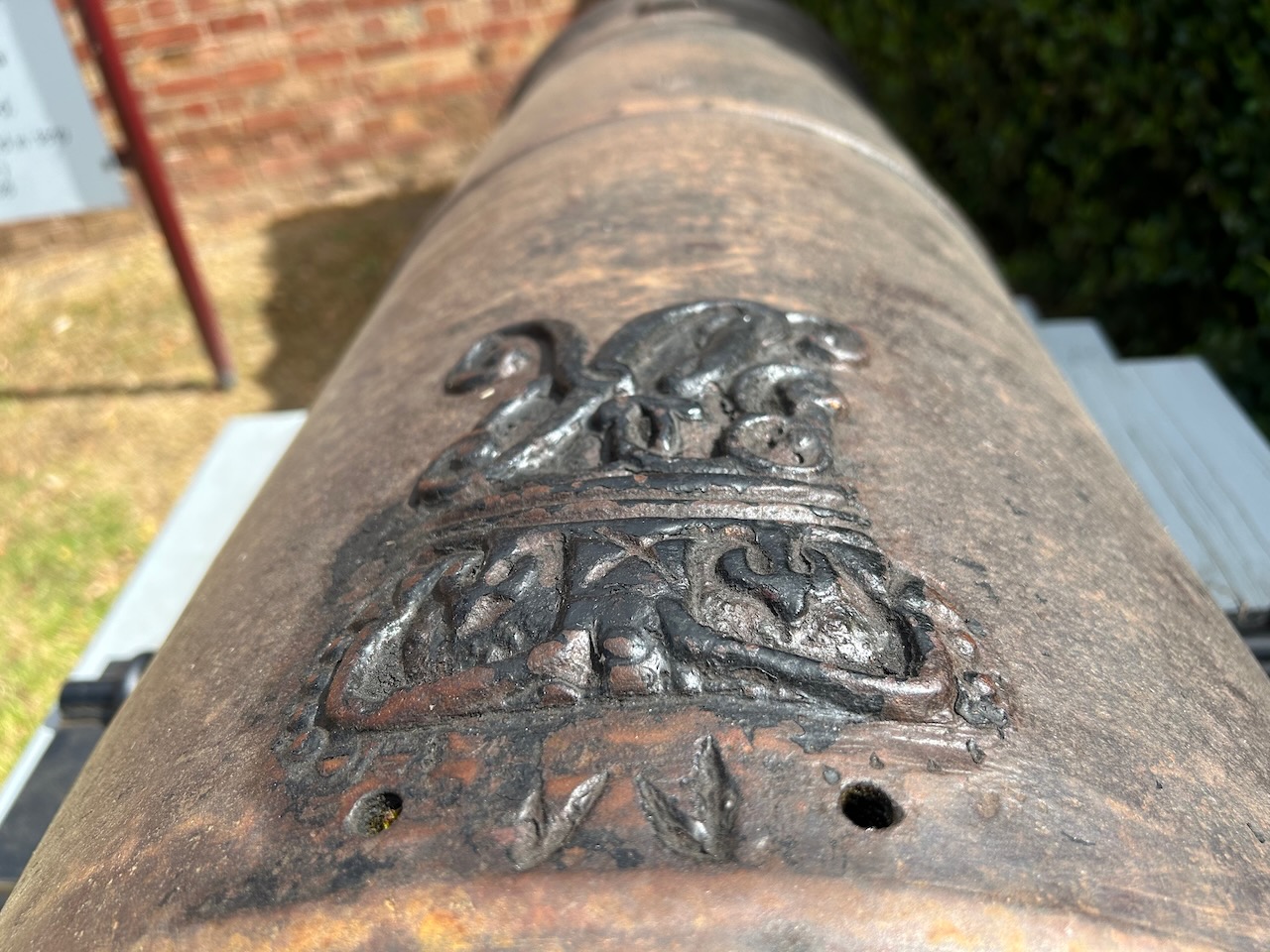
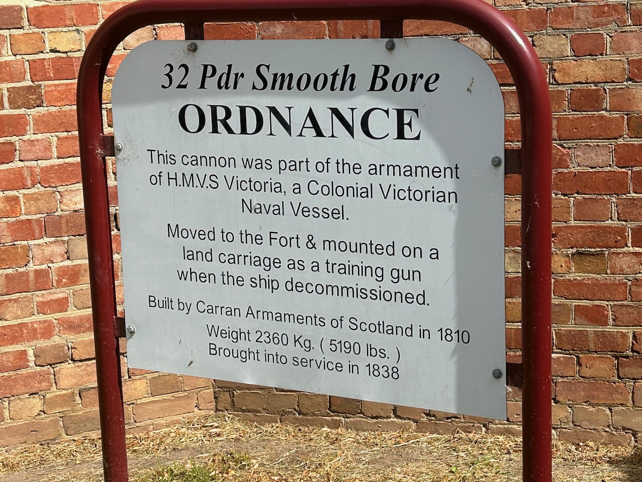
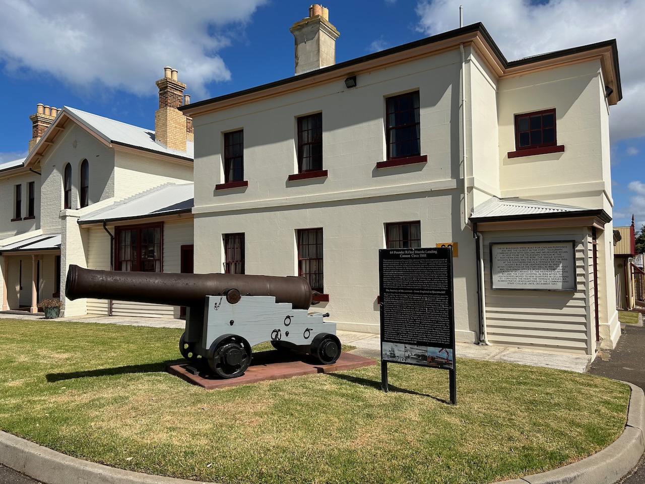
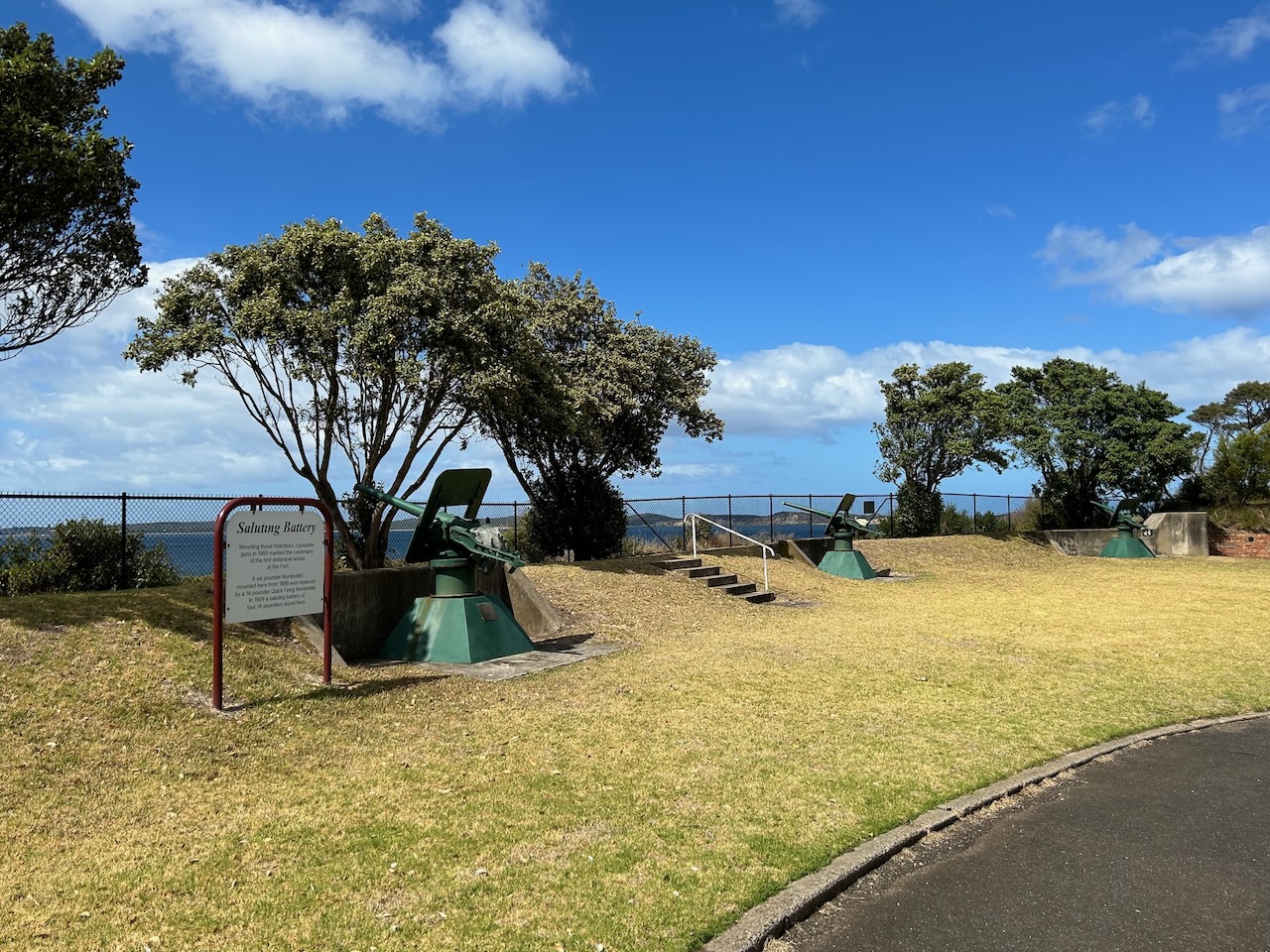
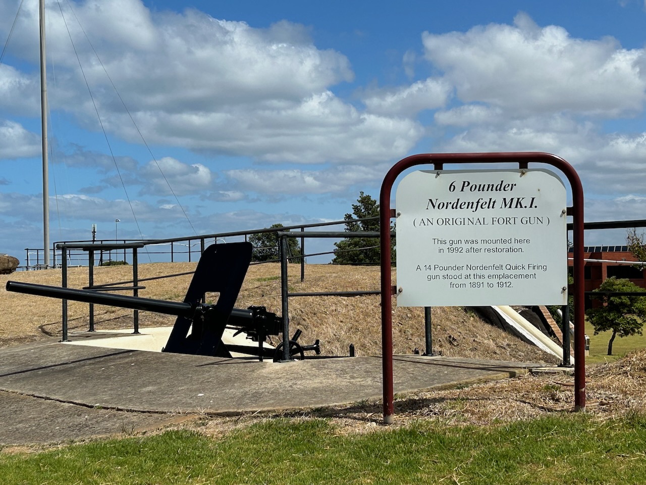
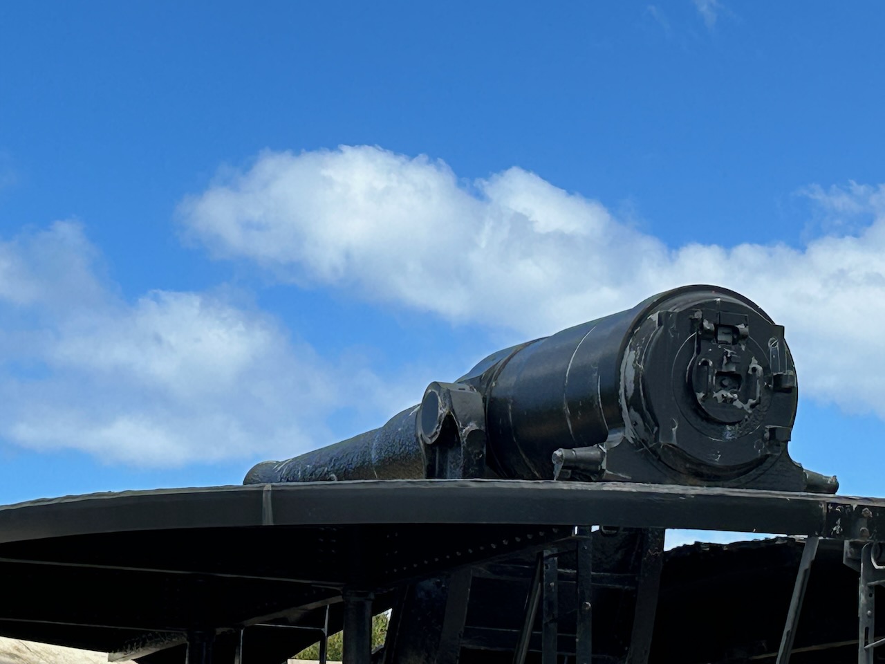
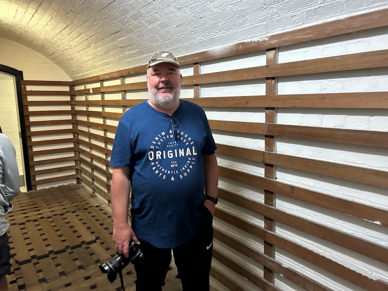
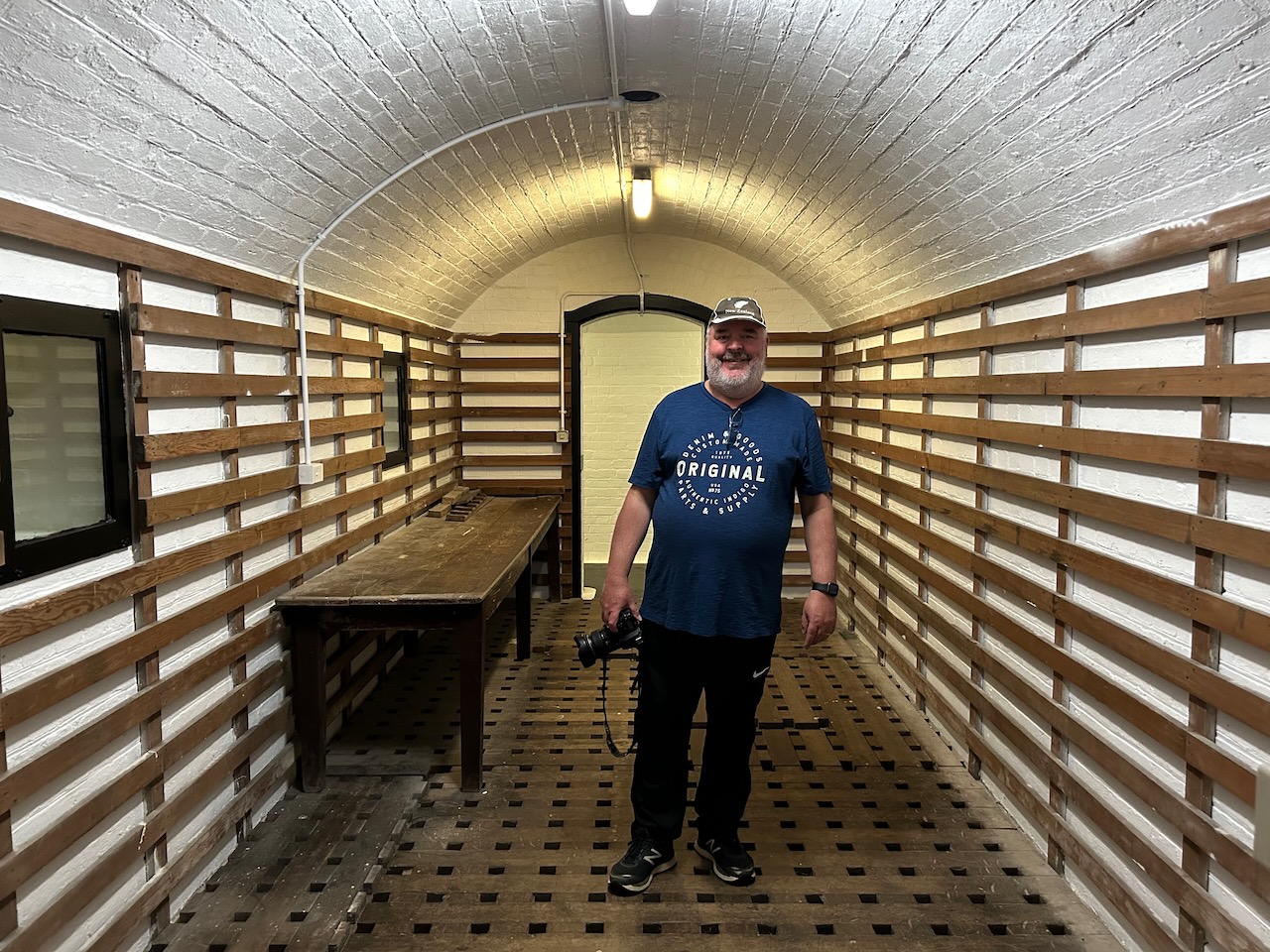
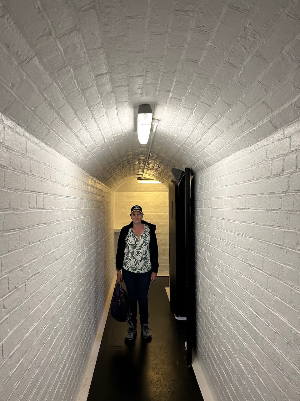
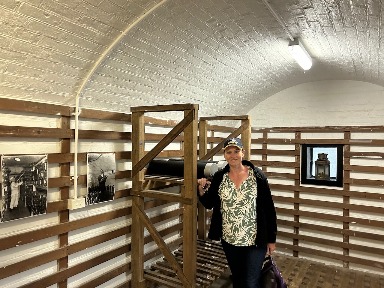
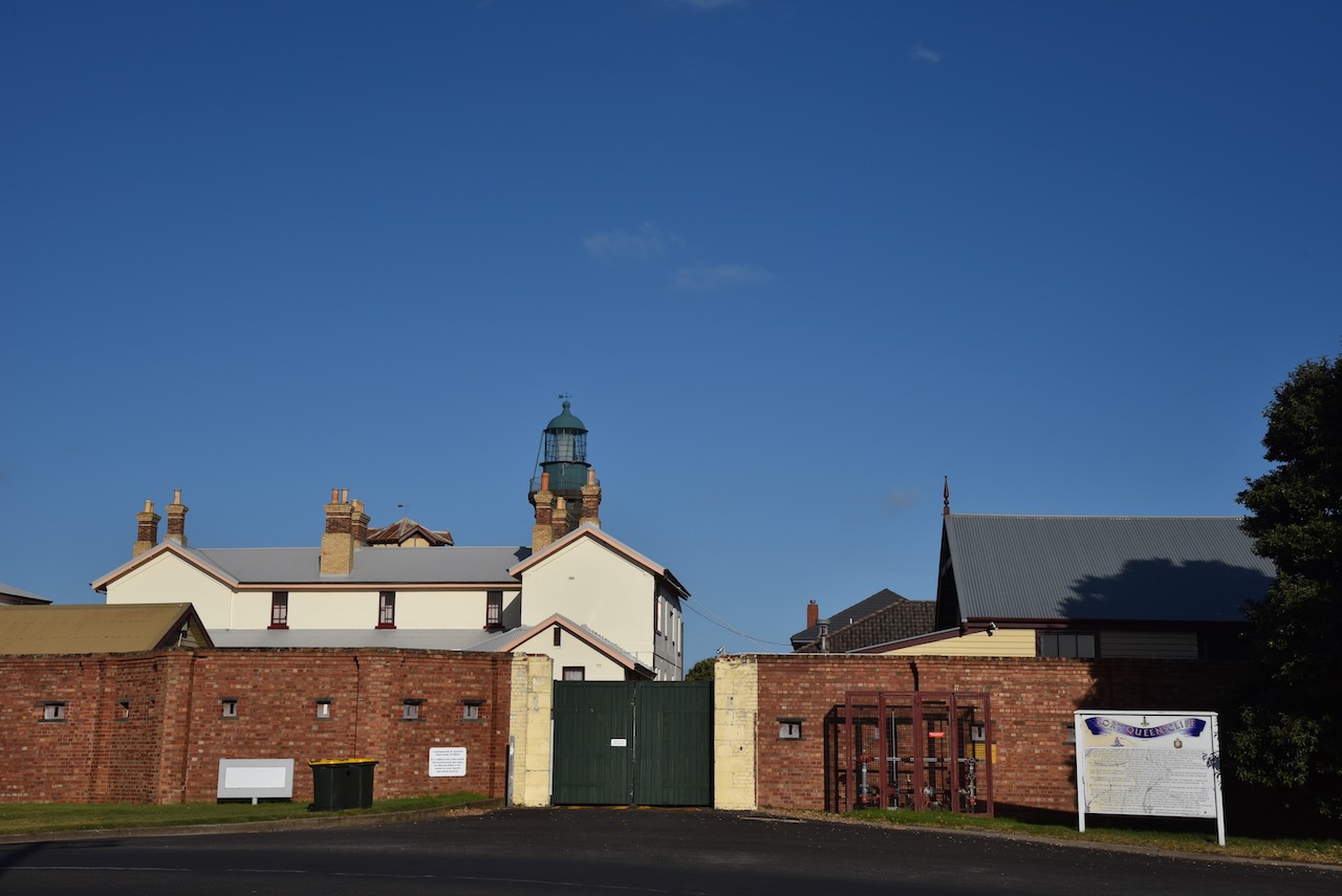
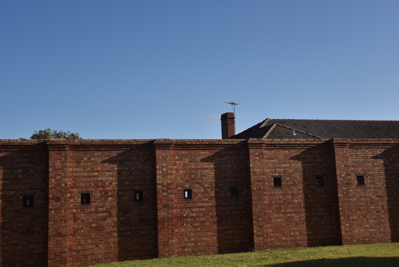
We then headed to Fort Queenscliff, one of Victoria’s most important historic sites and one of the largest and best-preserved forts in Australia. The Fort dates from 1860 when an open battery was constructed on Shortland’s Bluff to defend the entrance to Port Phillip. During the 1870s and 1880s, the Fort underwent major redevelopment and became the headquarters for an extensive chain of forts around Port Phillip Heads.
We had a brilliant volunteer guide who took us around the Fort and explained its fascinating history.


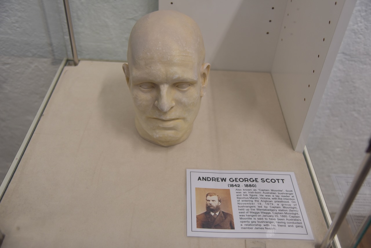
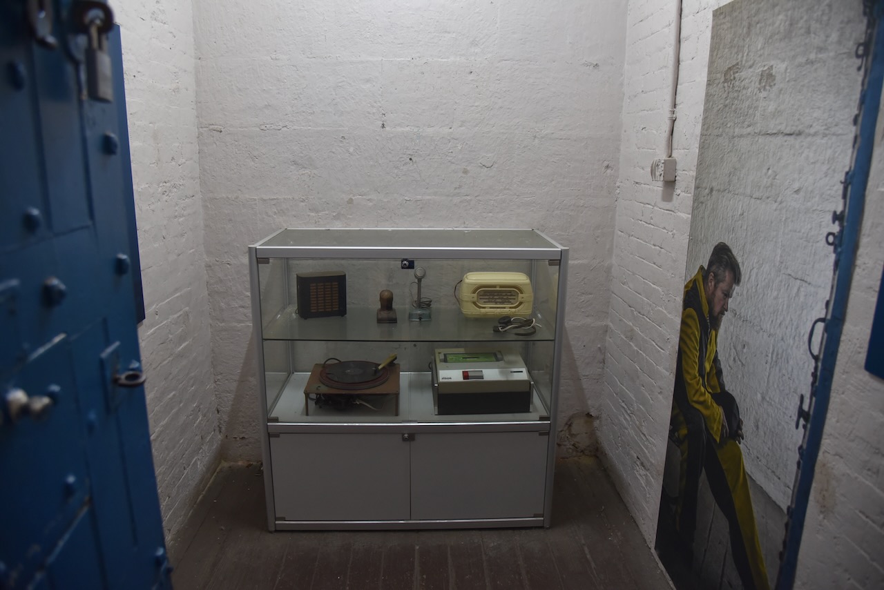
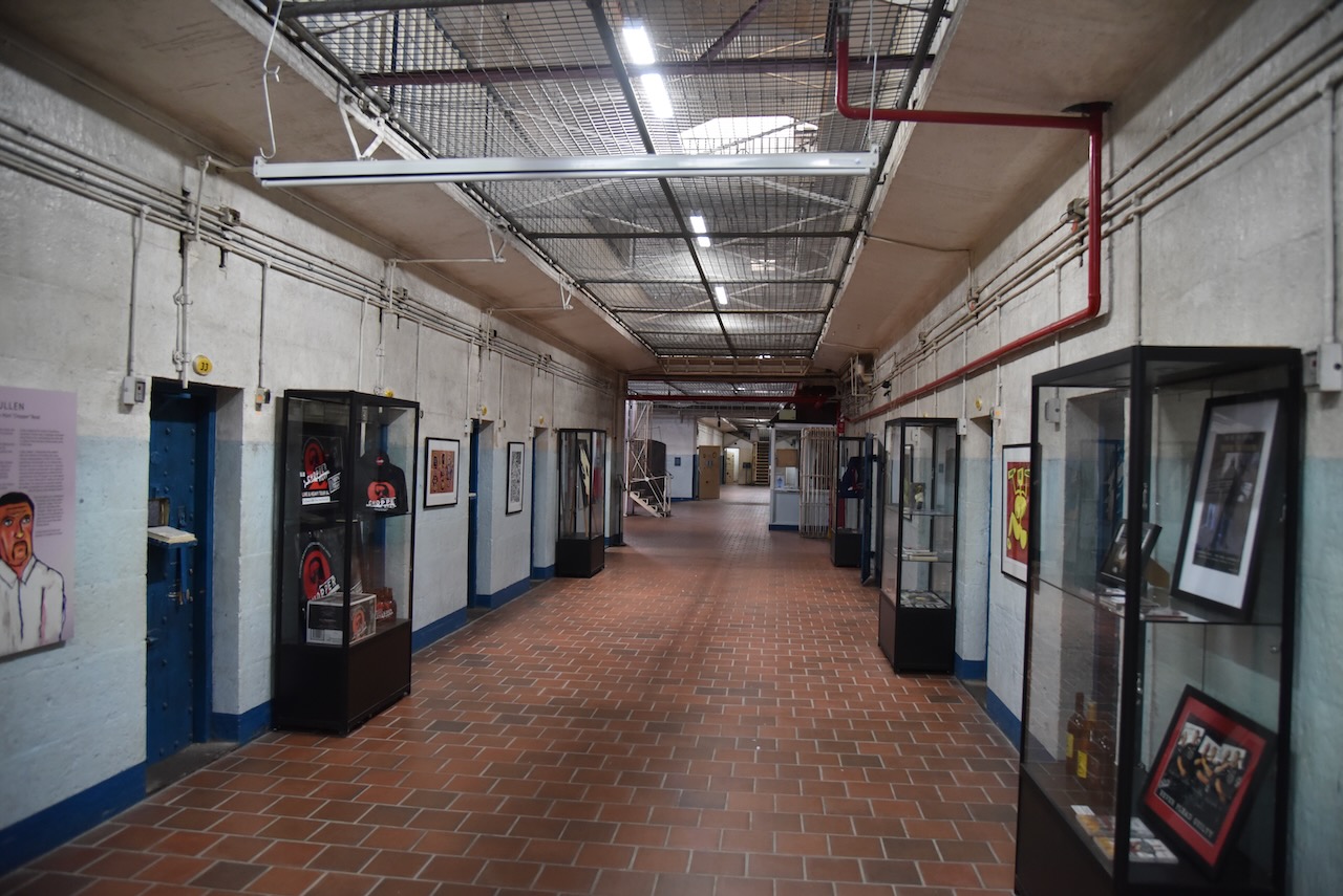
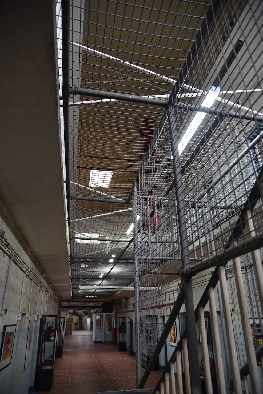
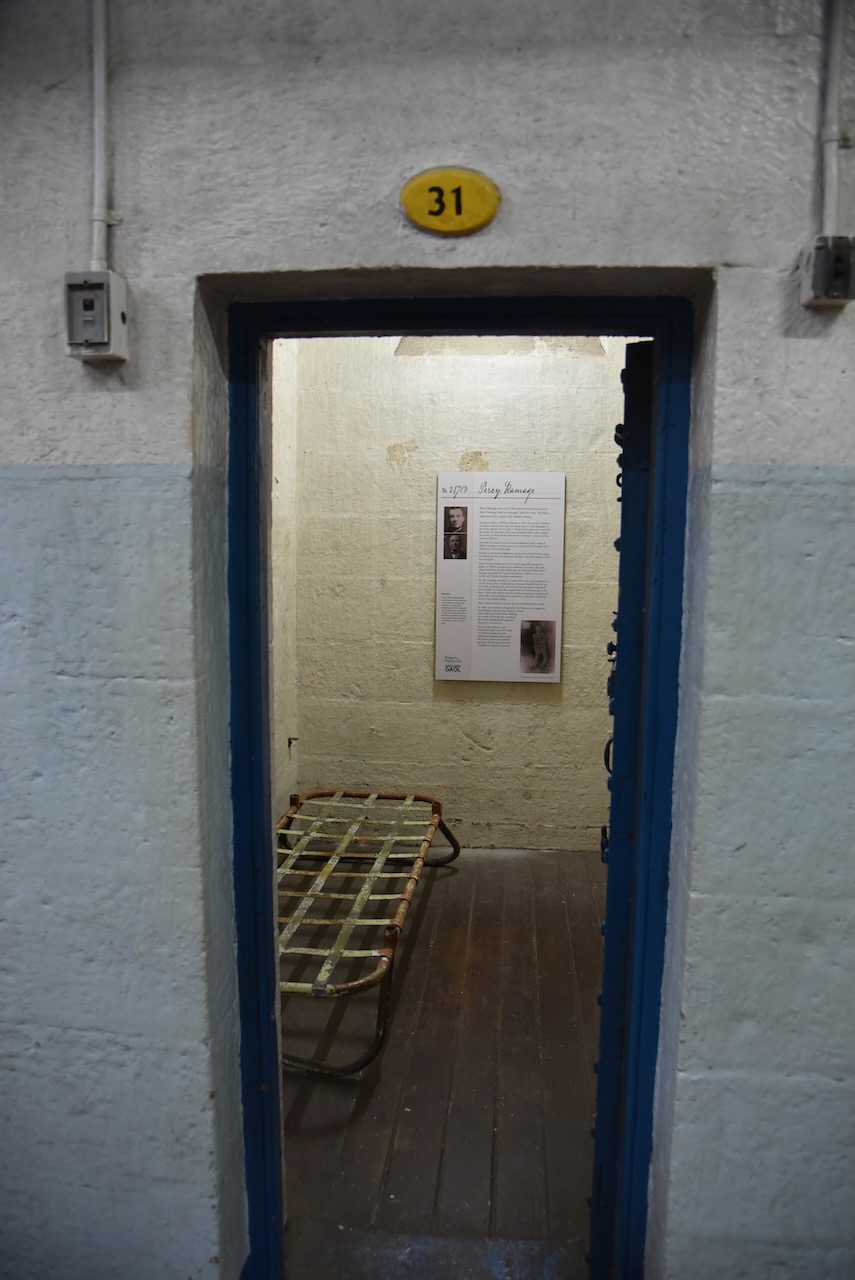
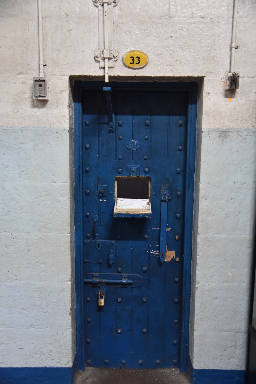
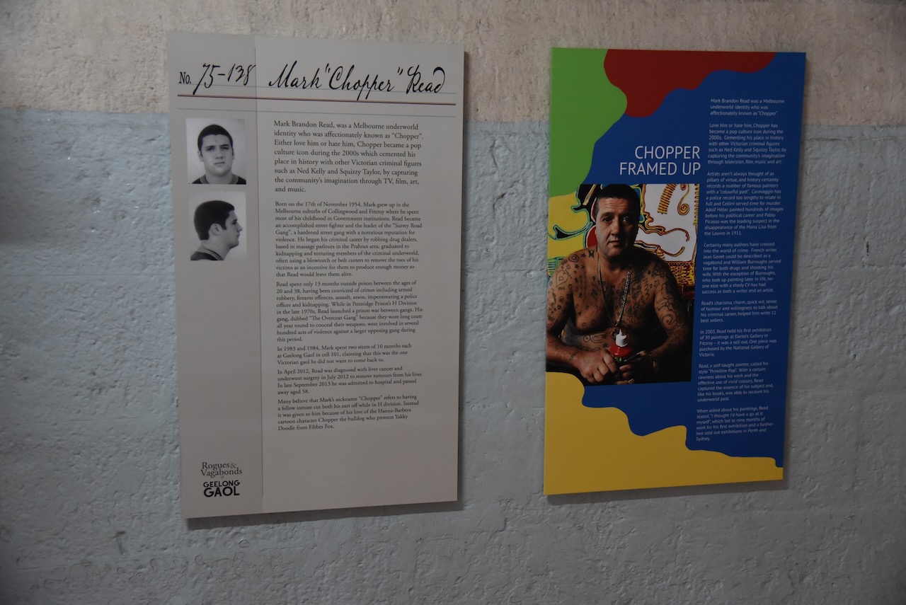
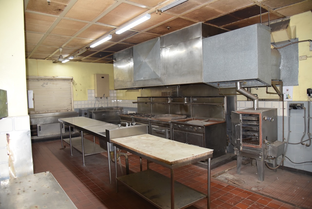
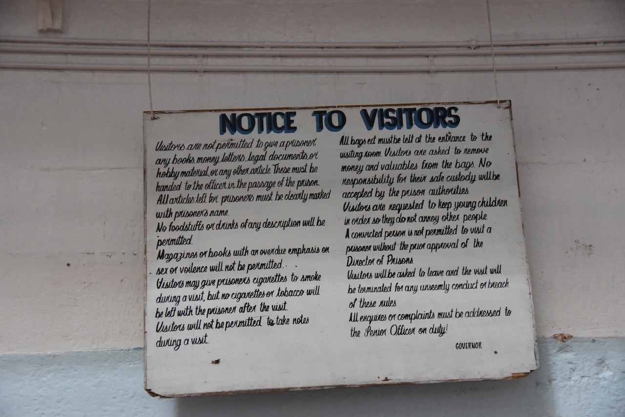
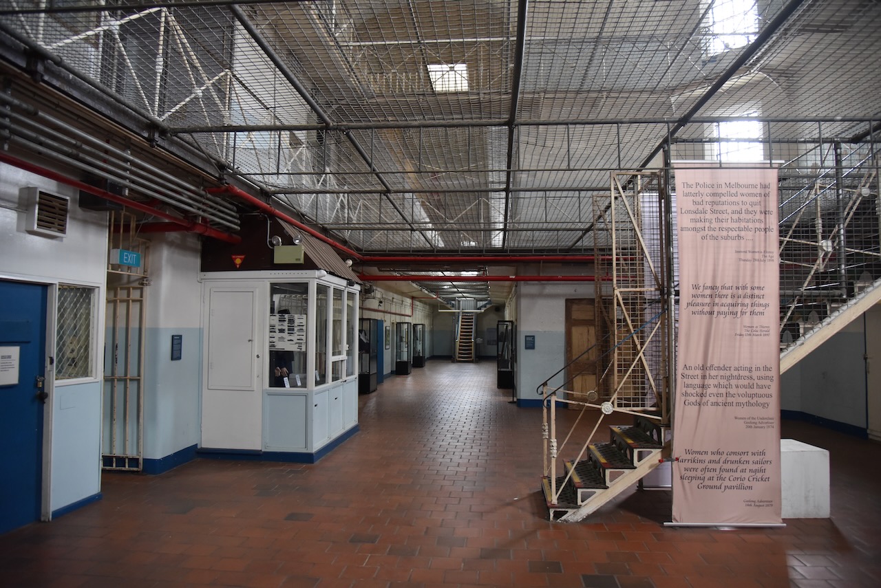
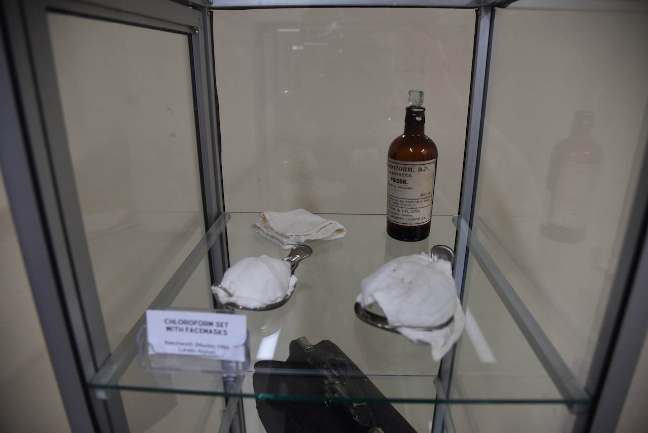
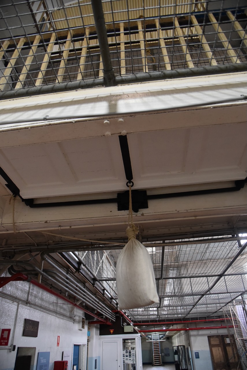
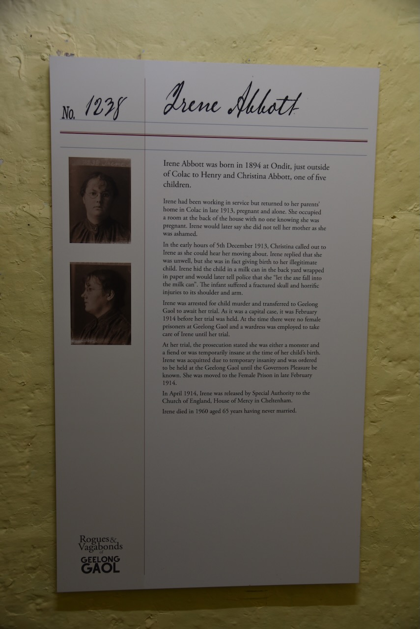
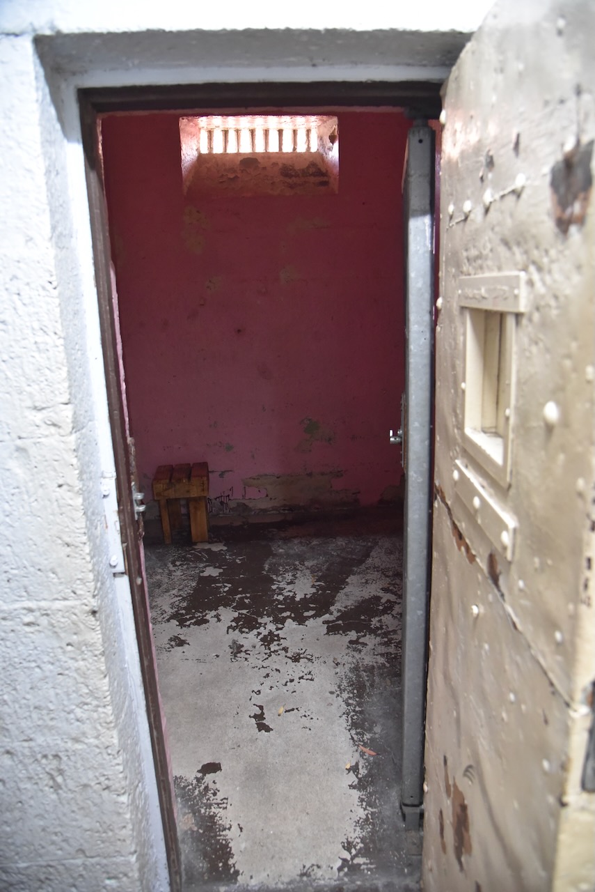
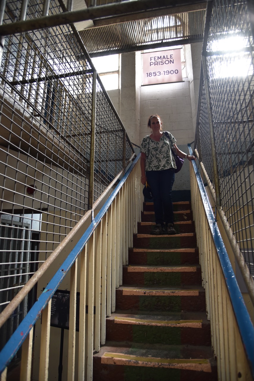
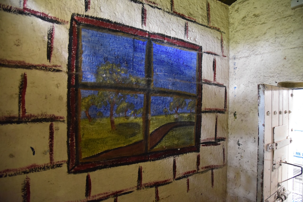
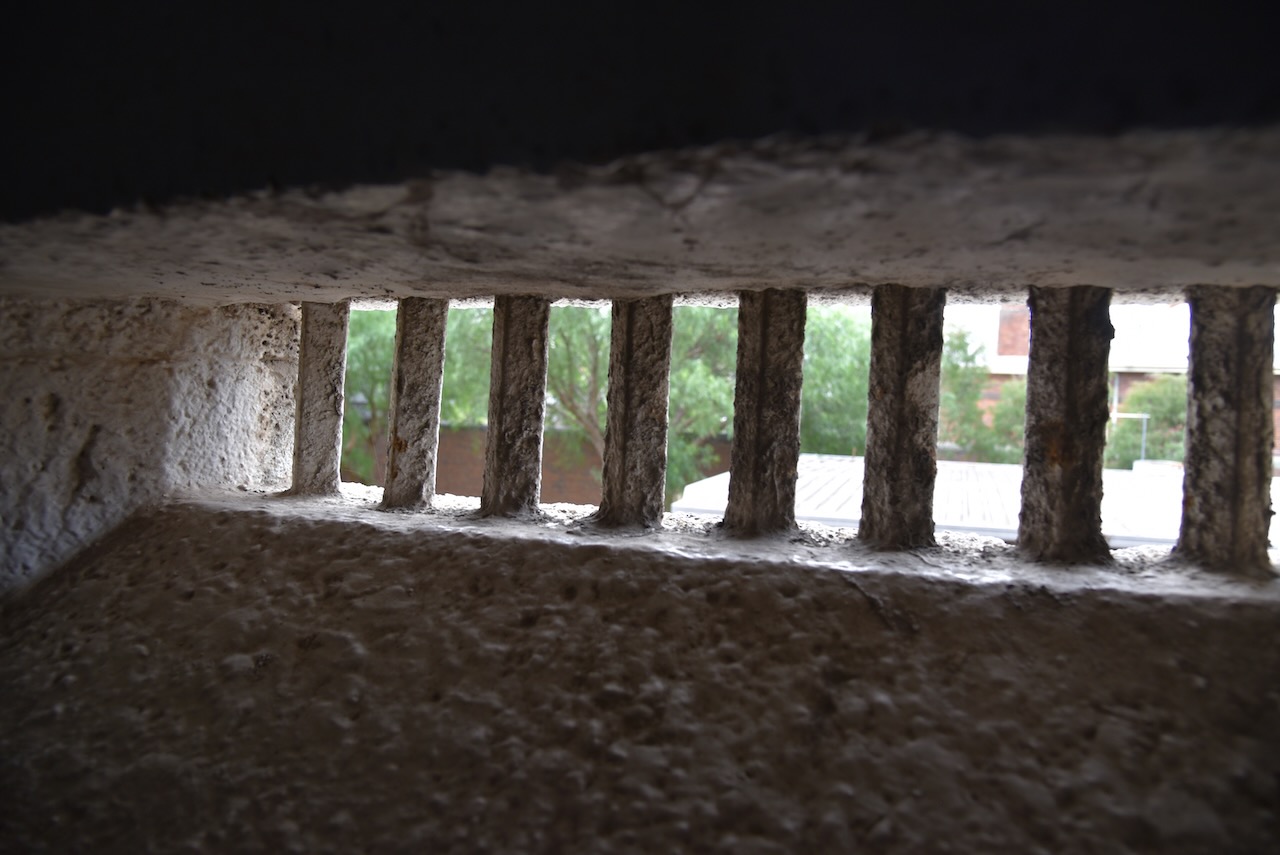
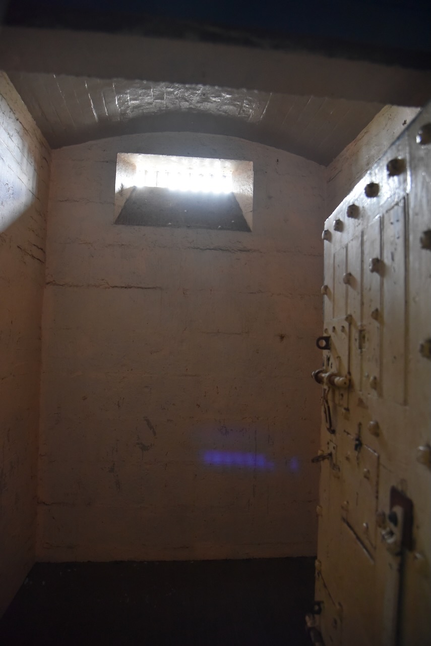
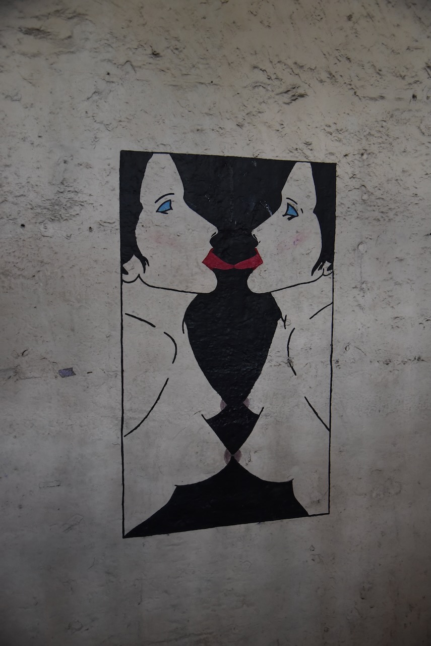
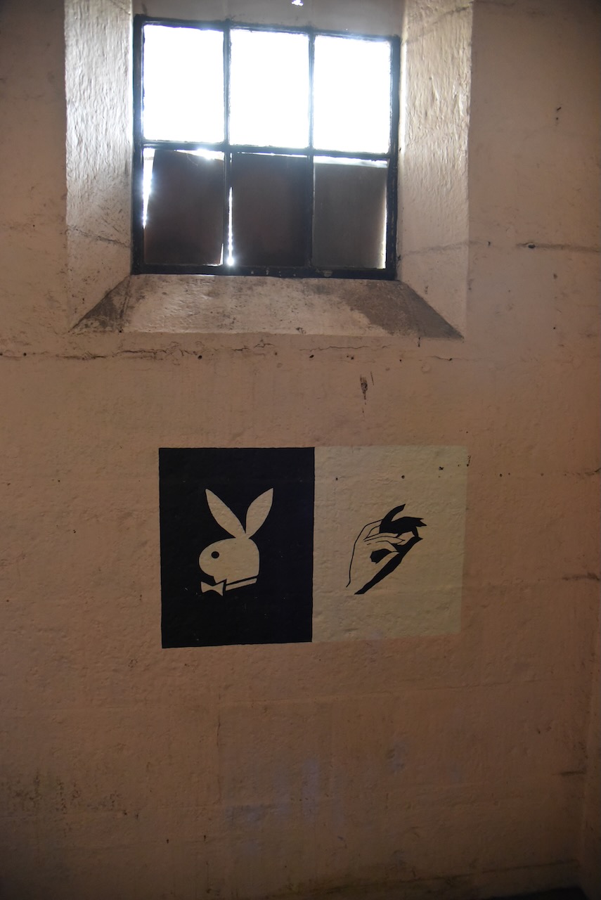
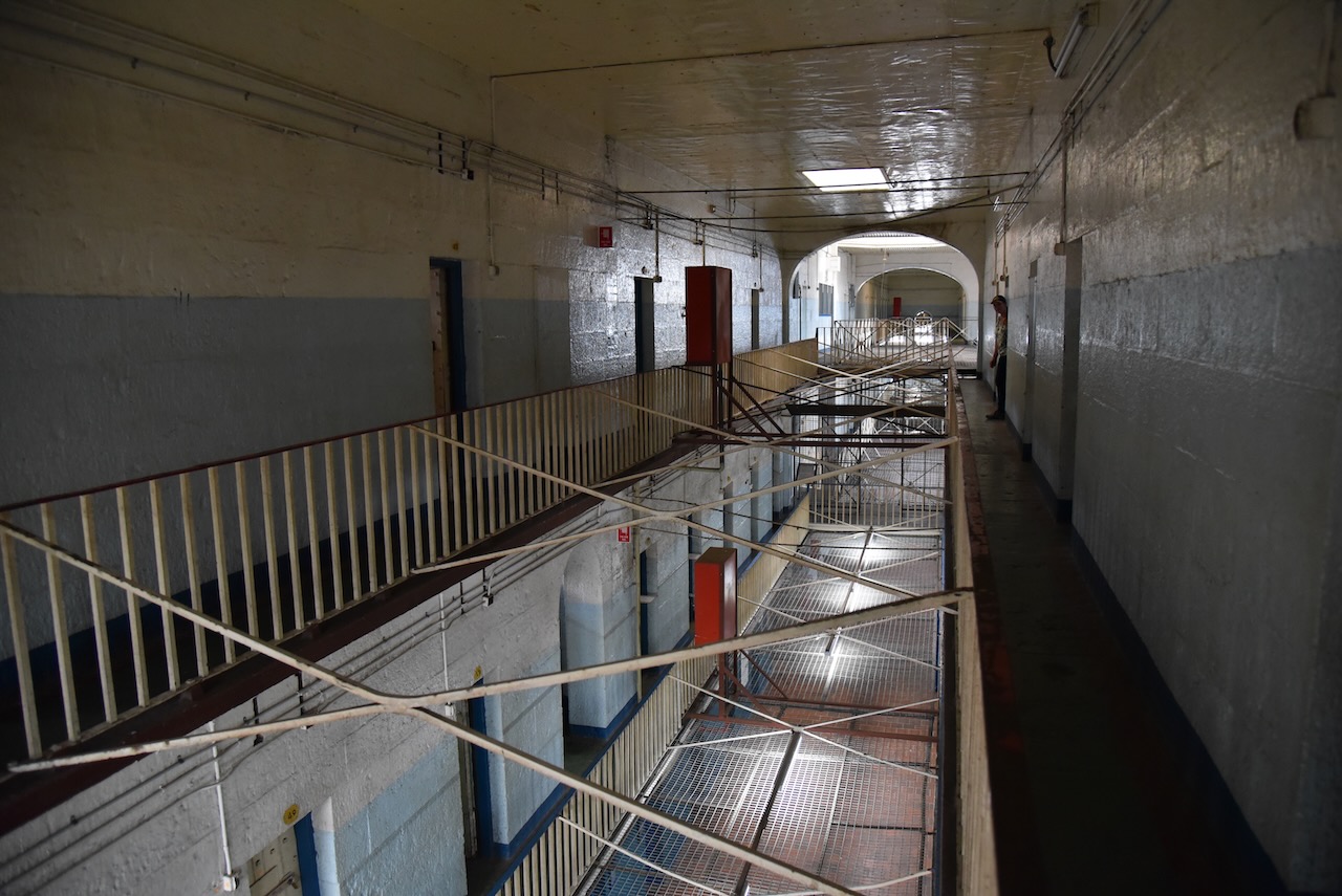
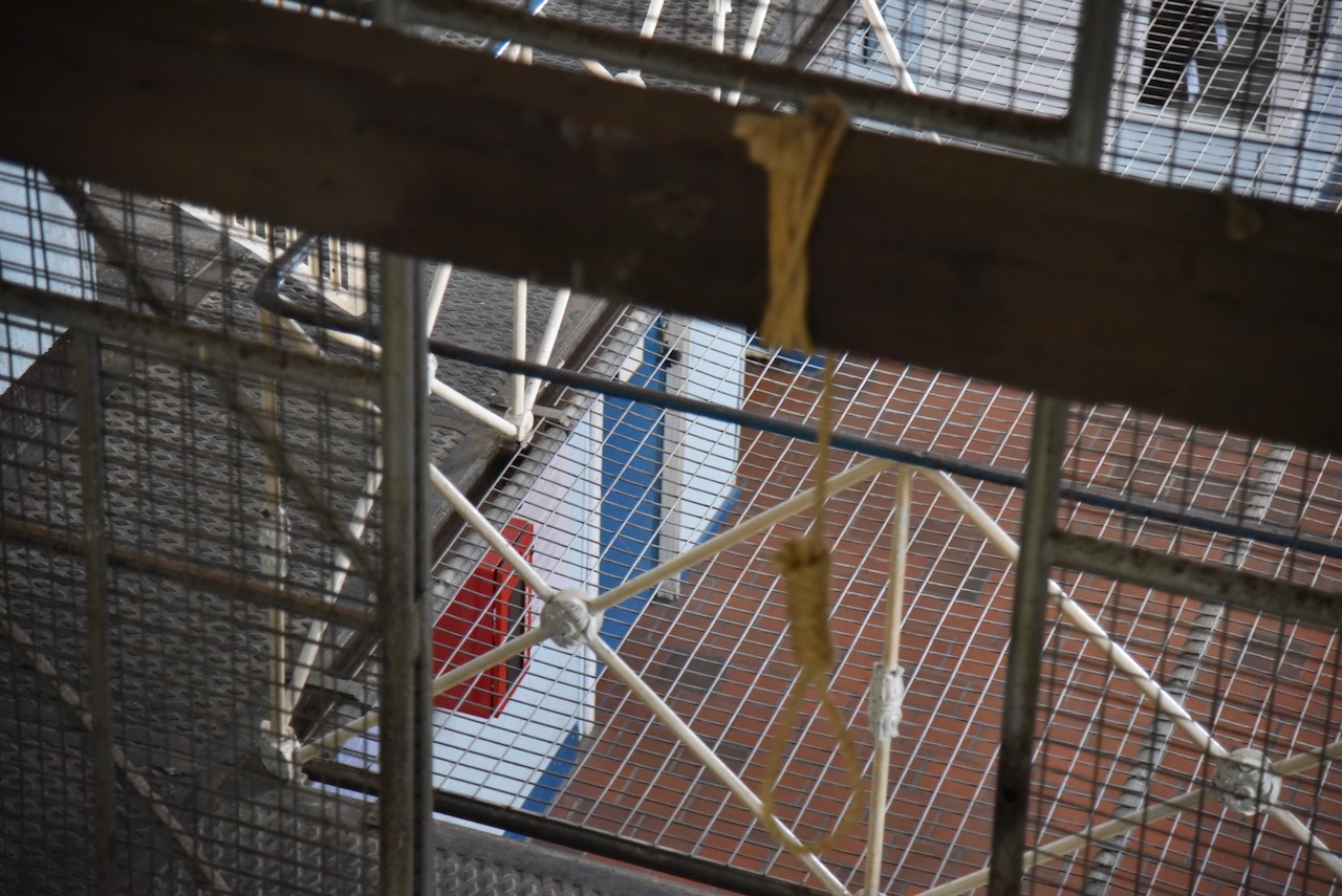
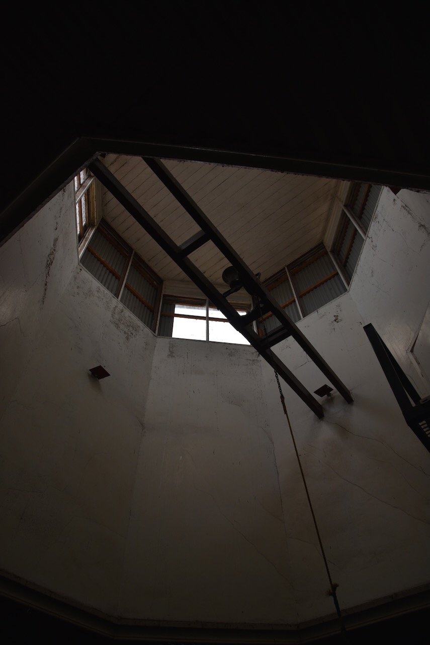
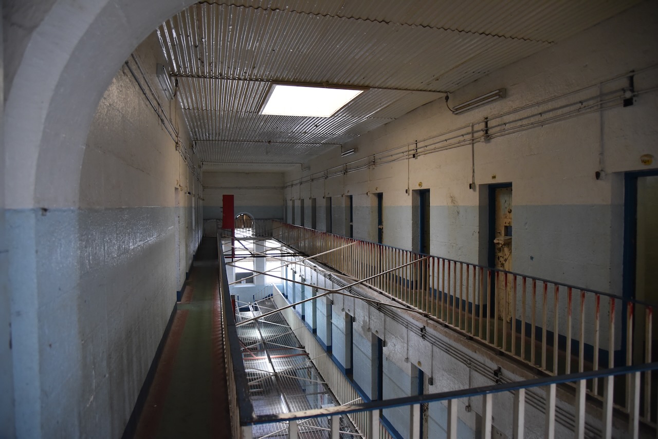
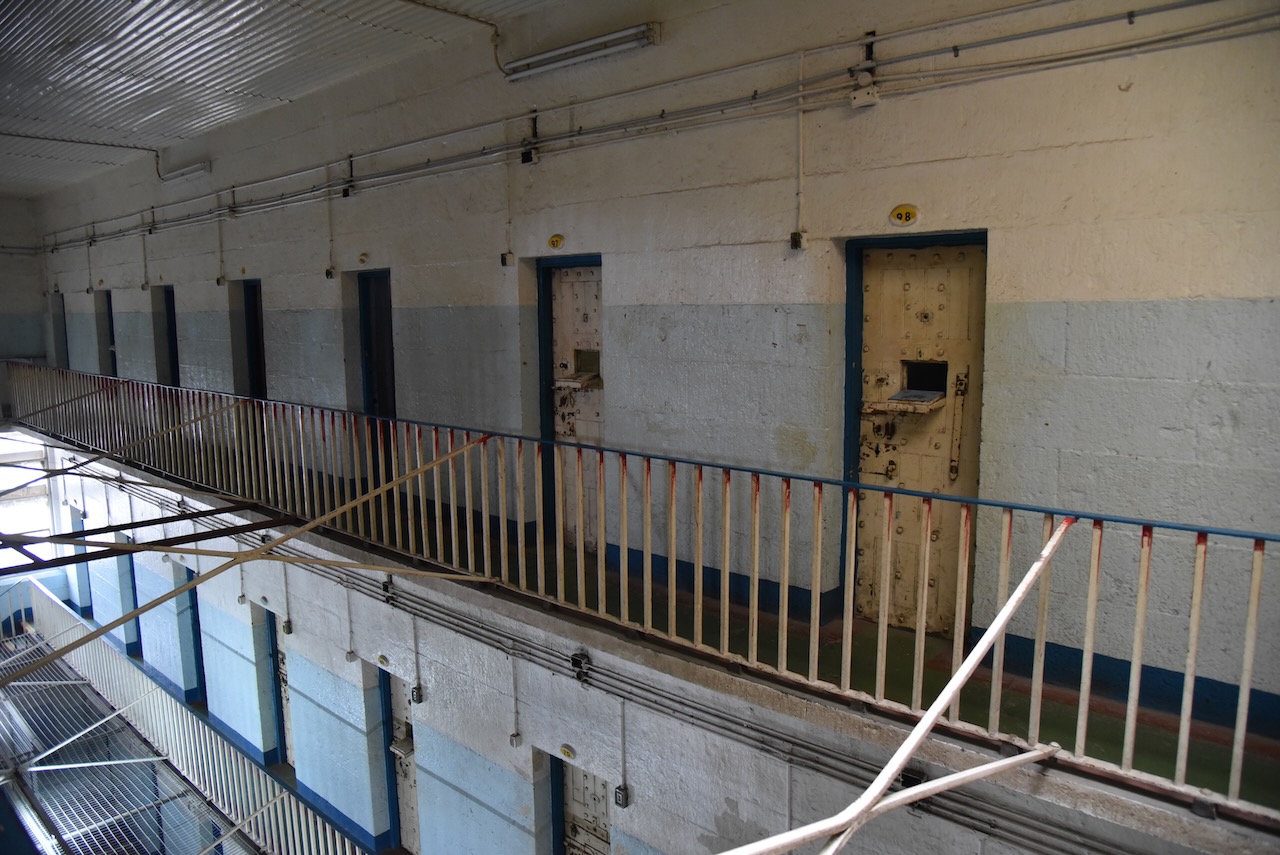
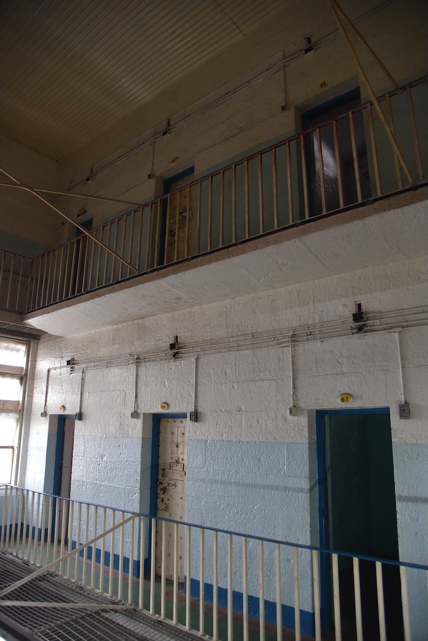
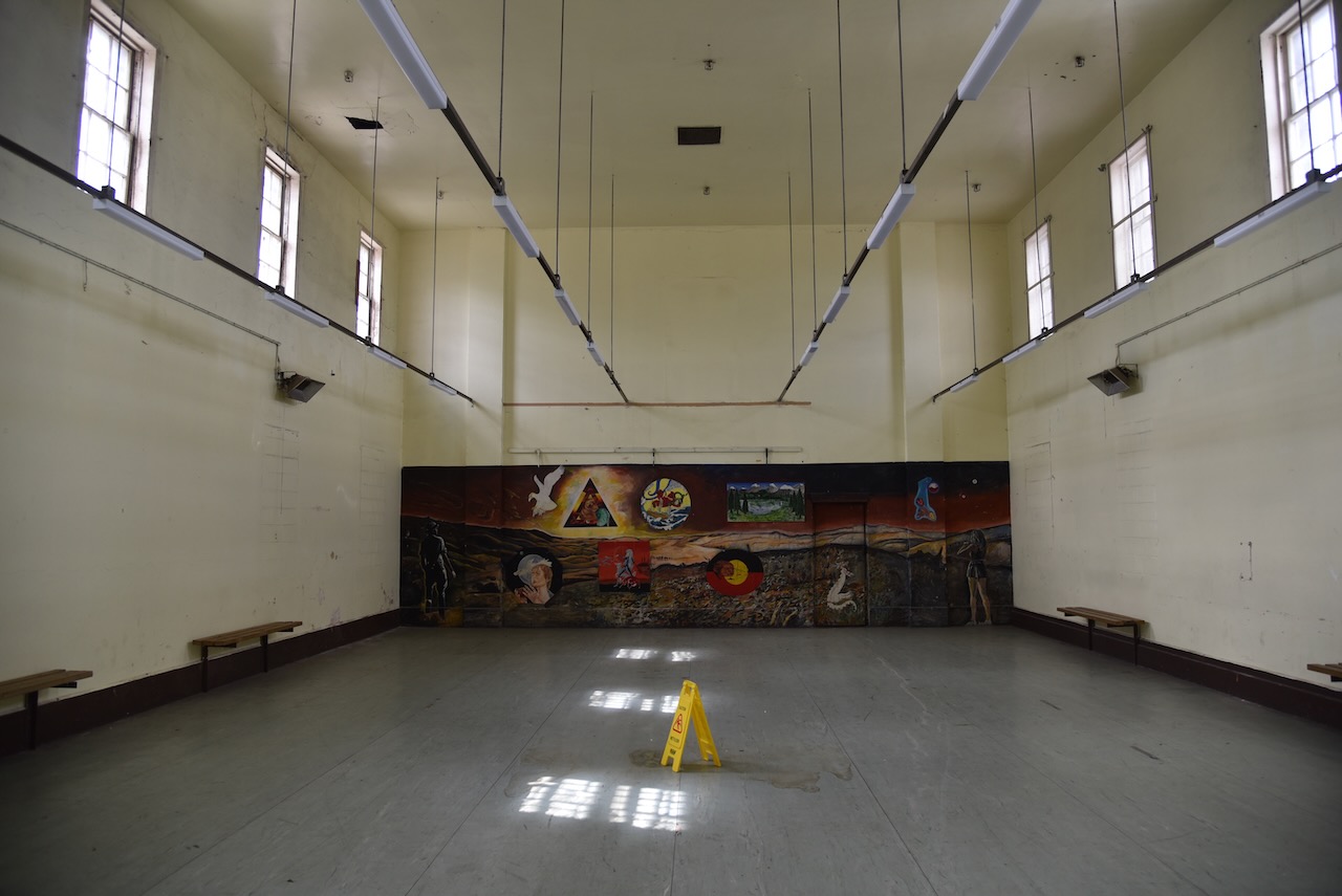
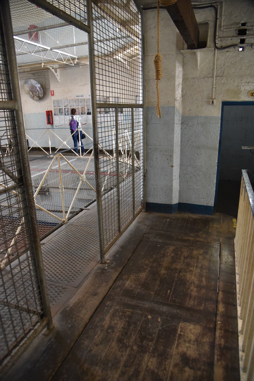
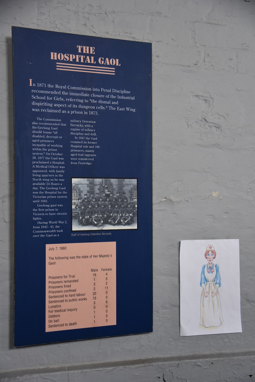
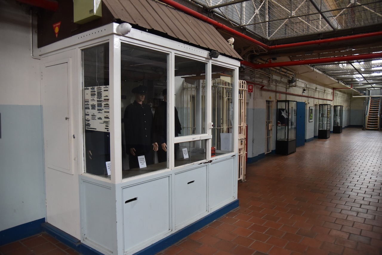
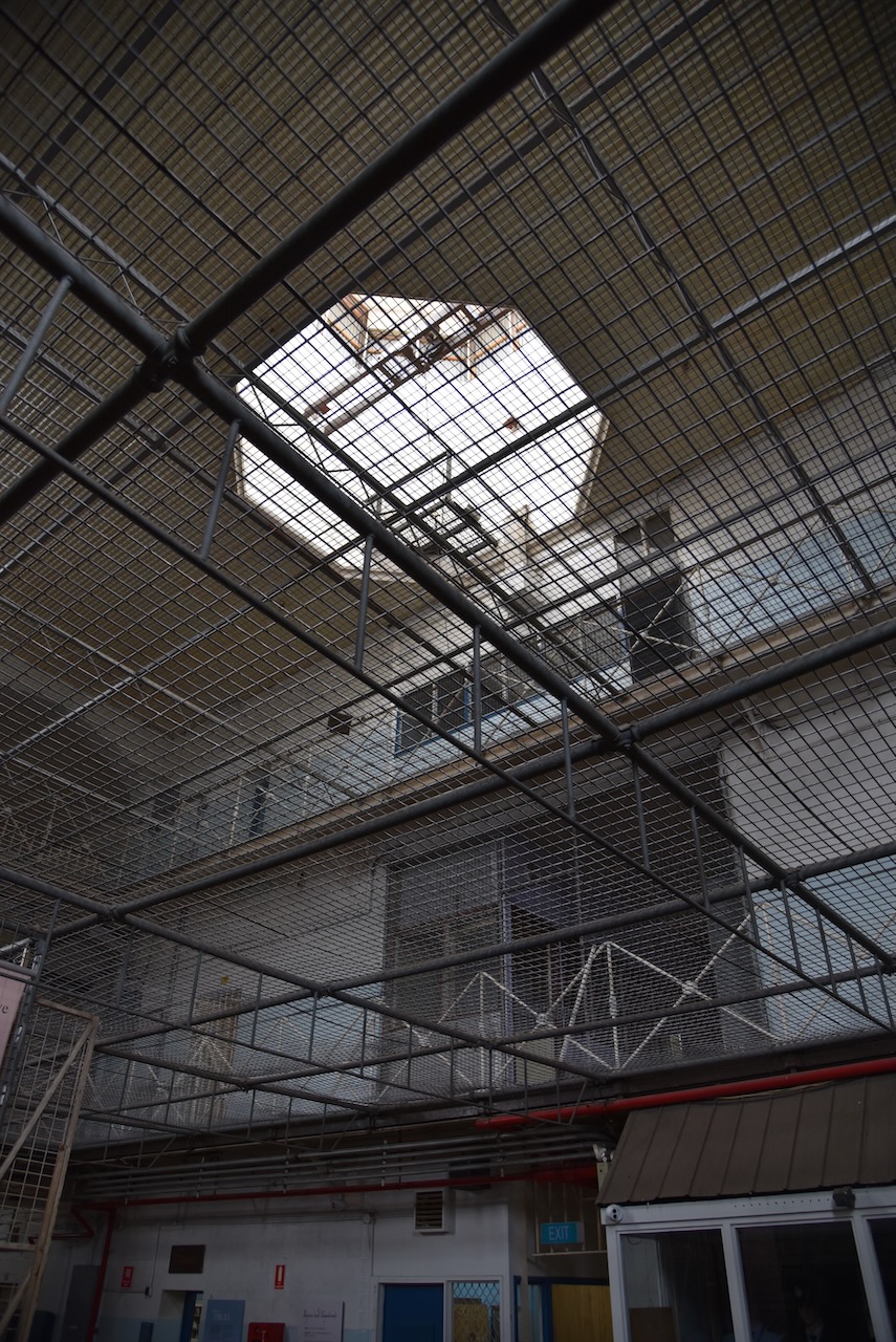
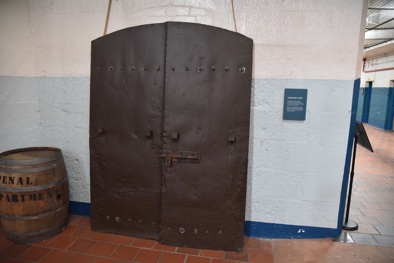
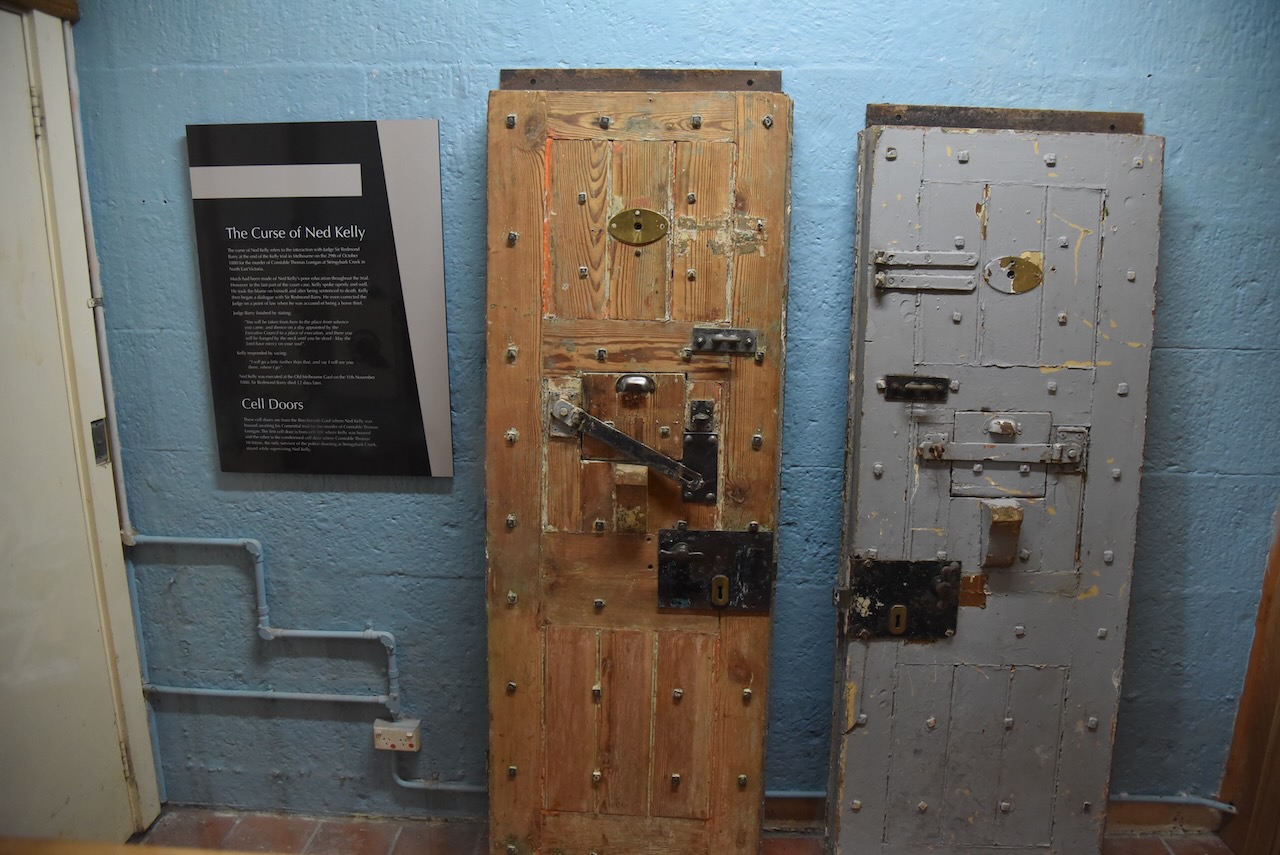
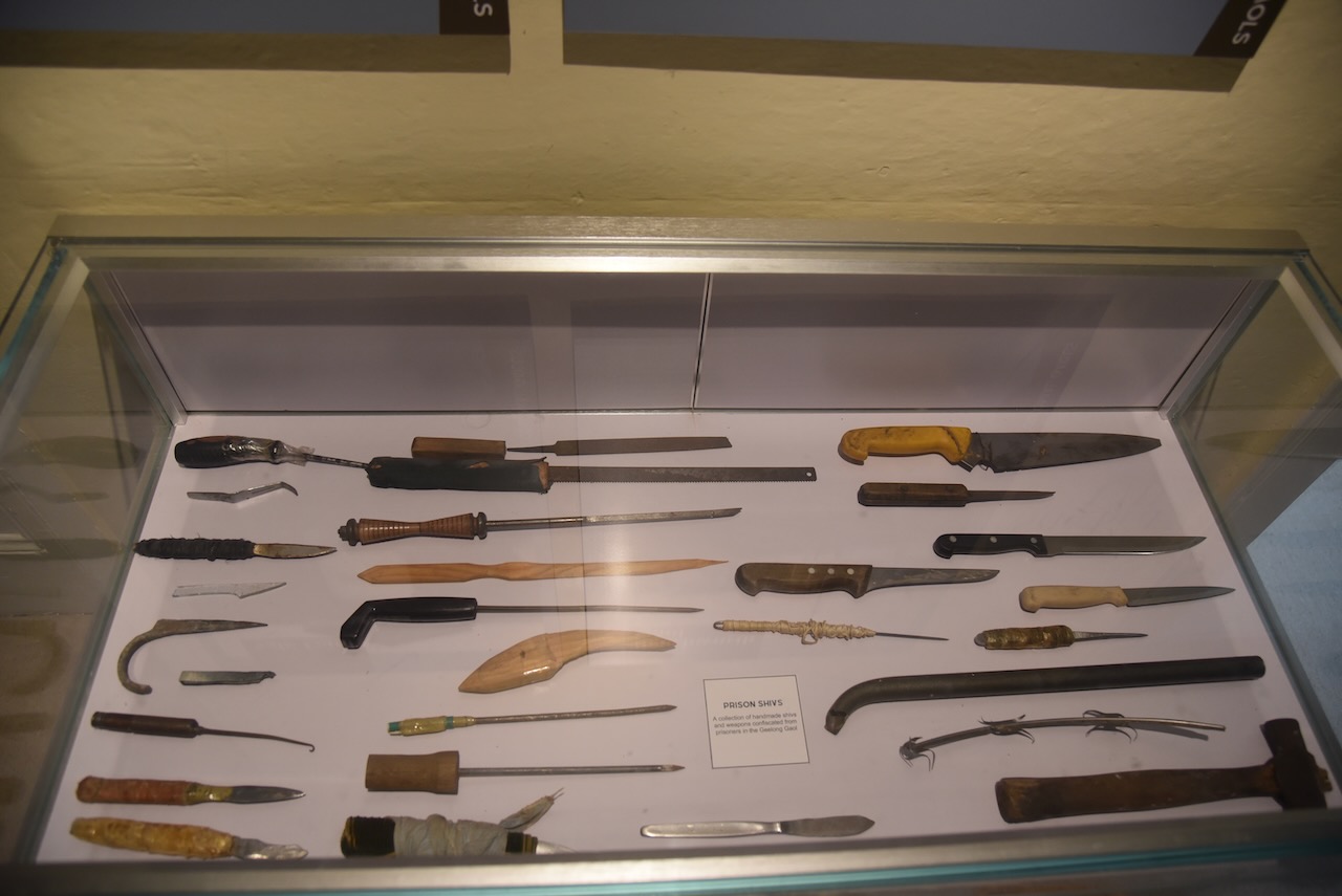
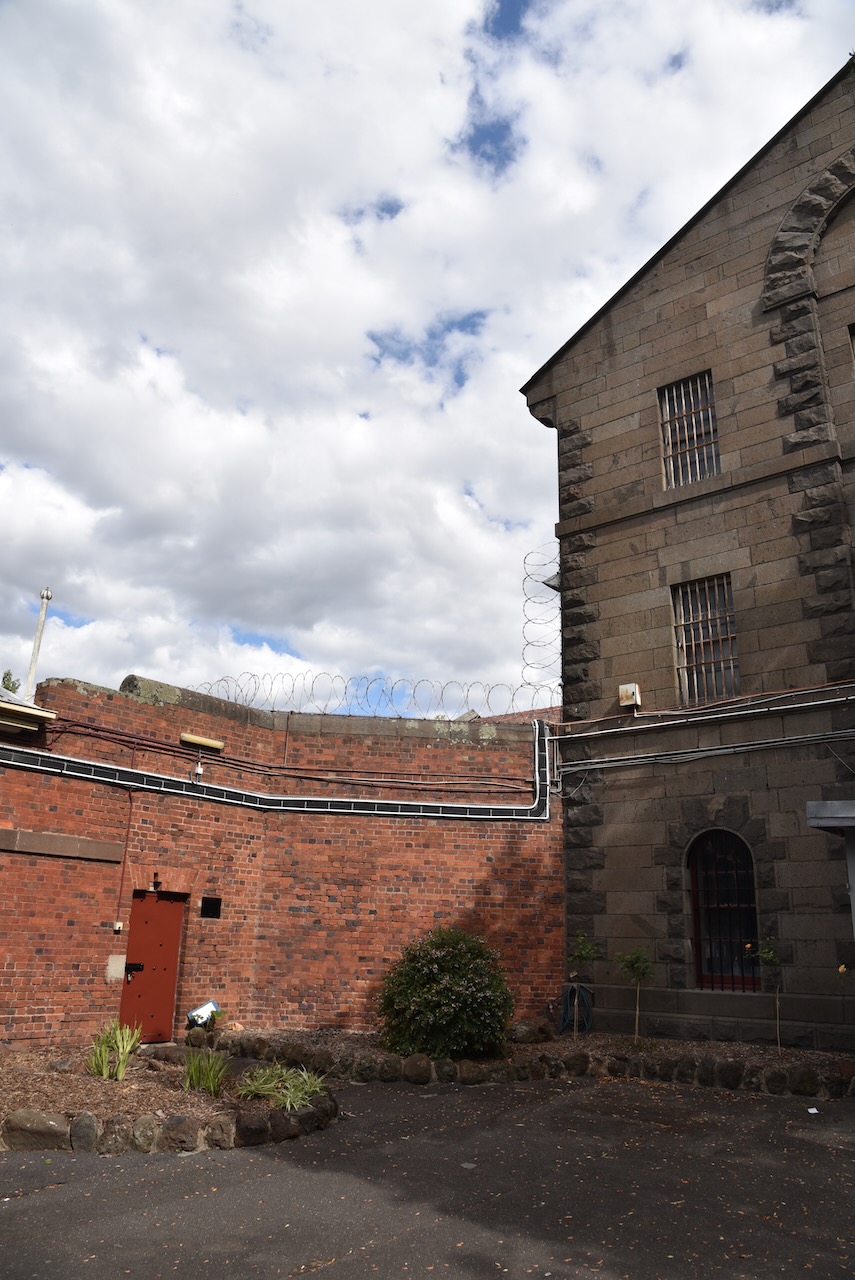
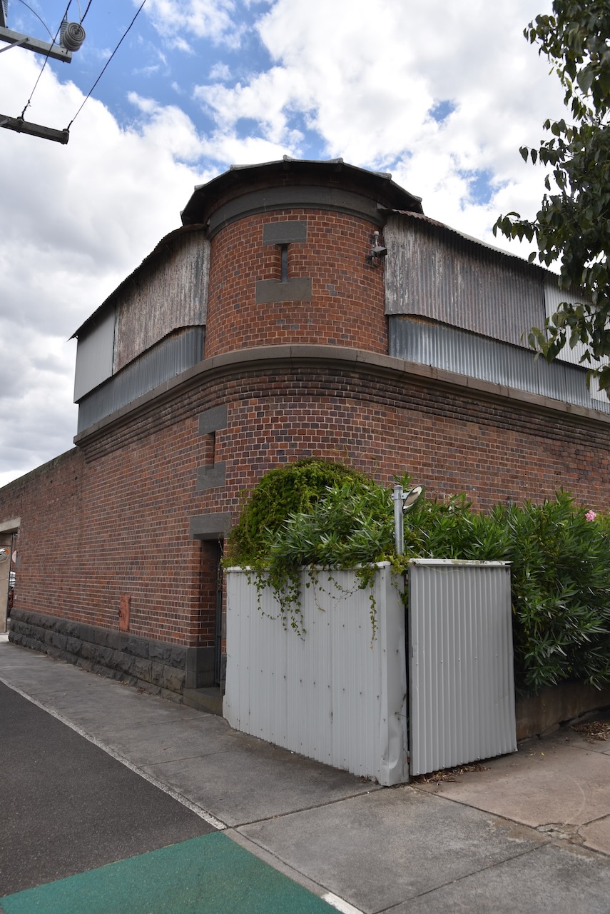
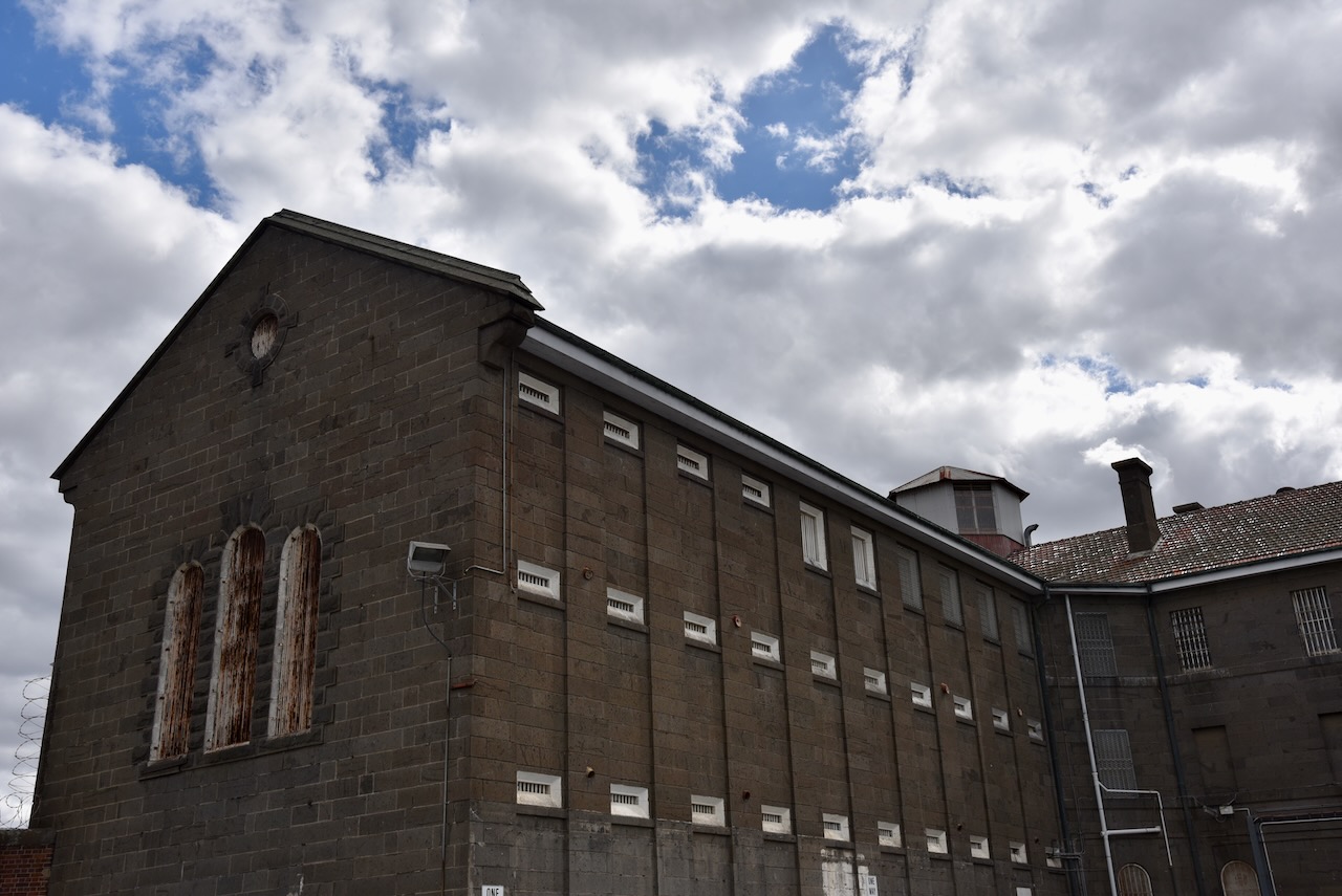
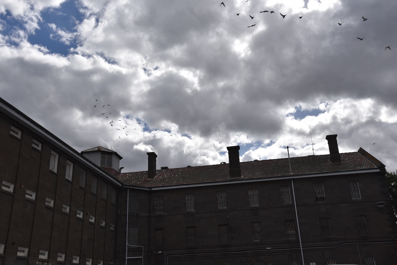
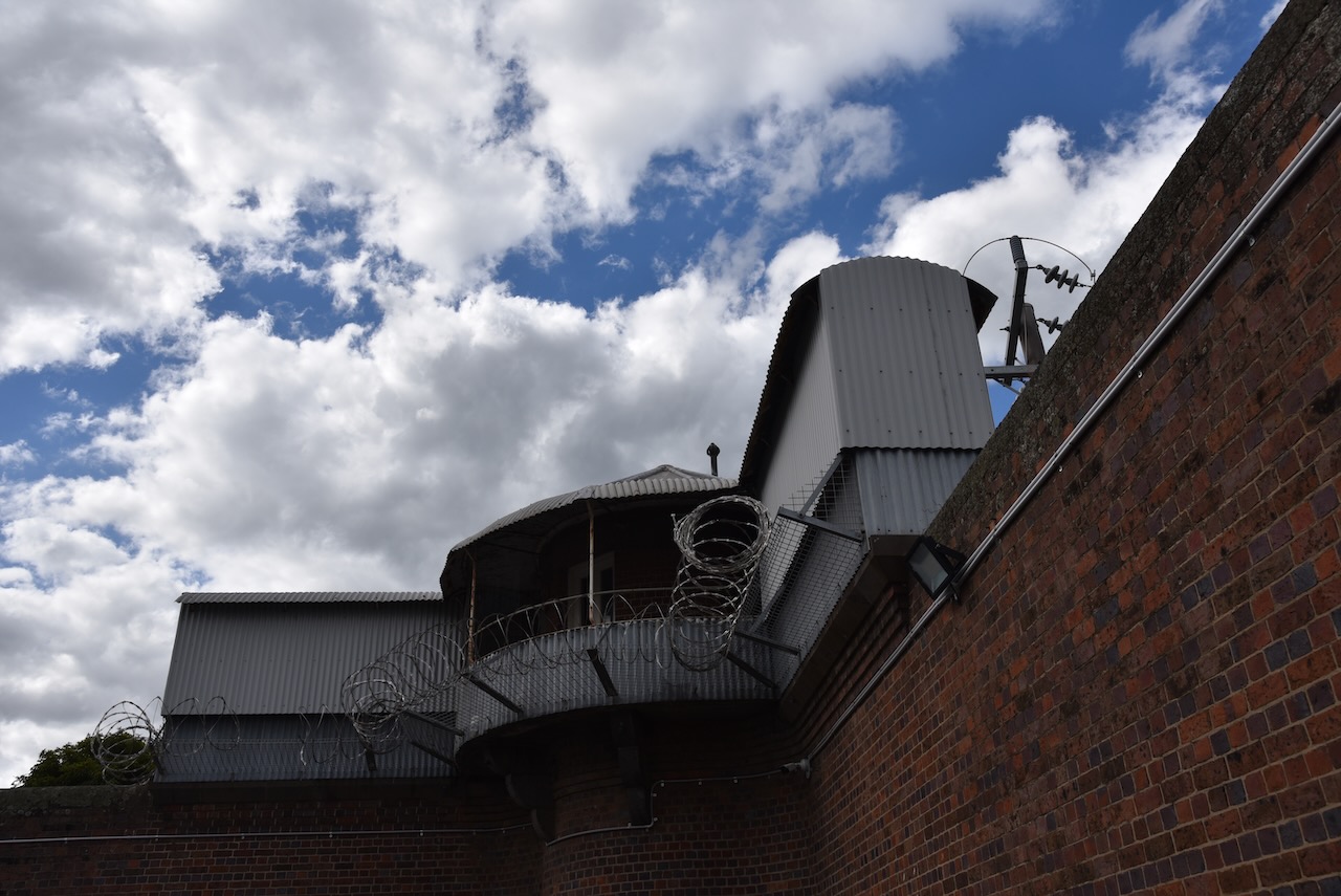
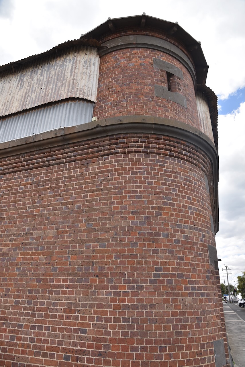
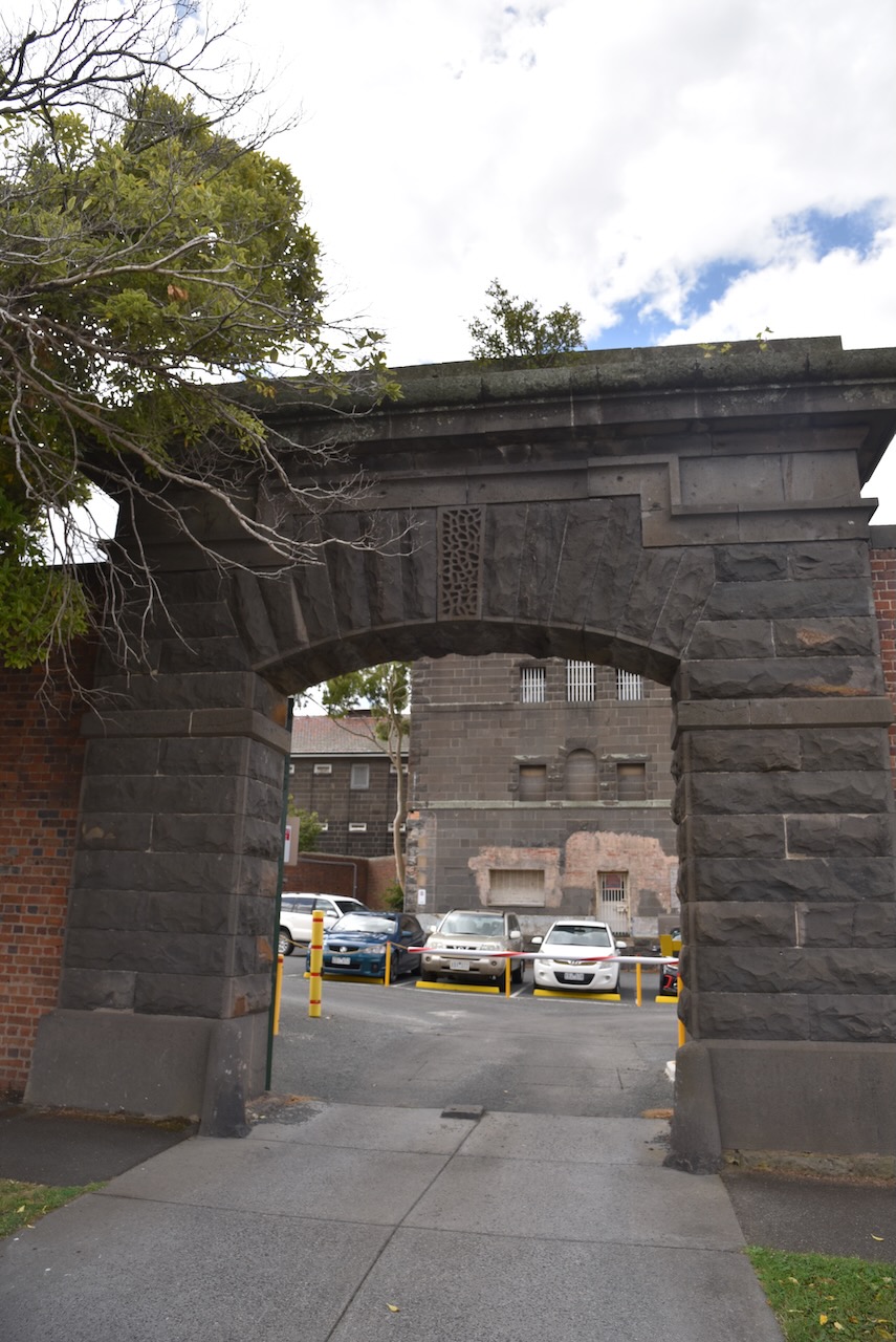
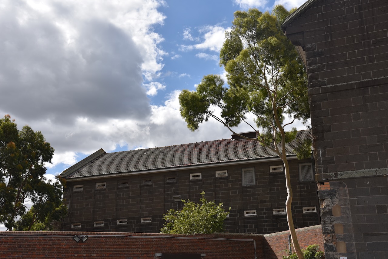
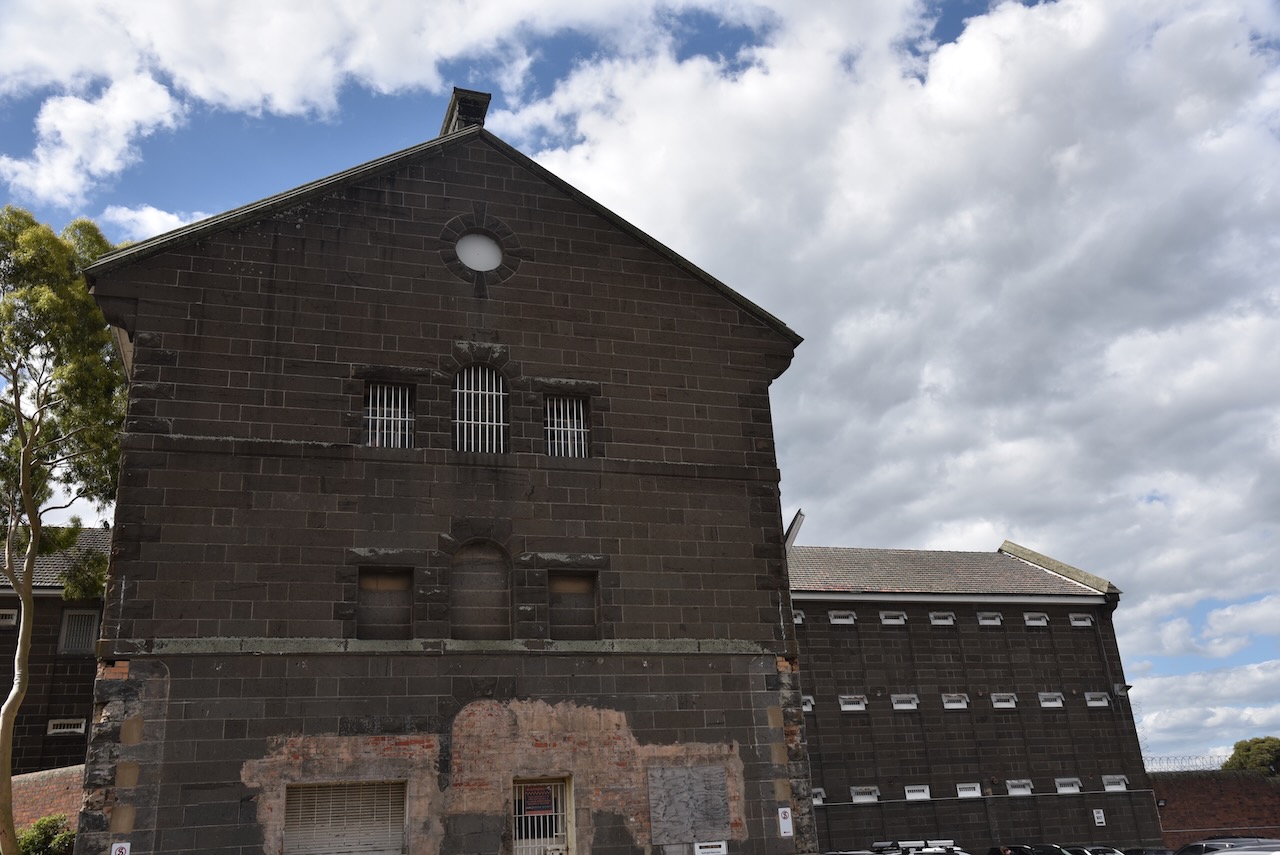
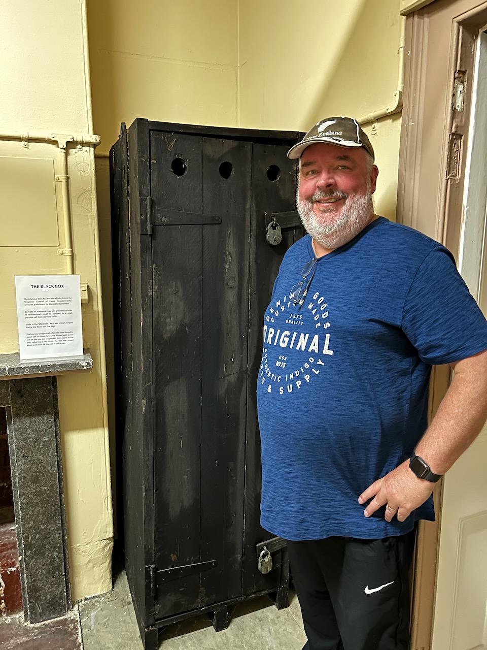
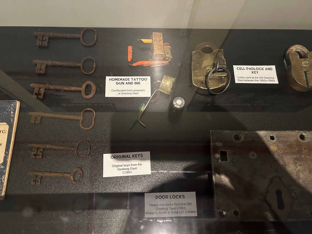
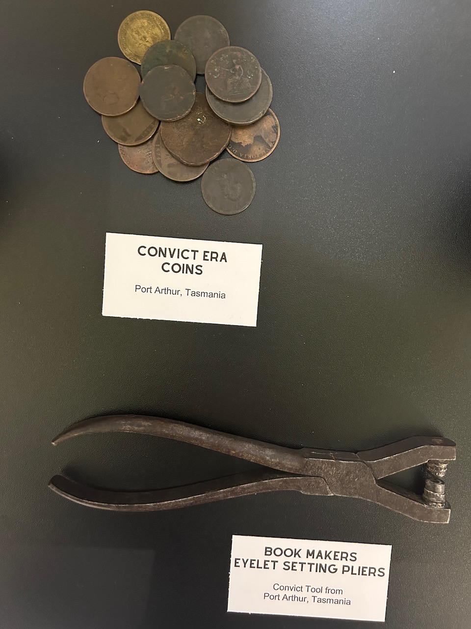
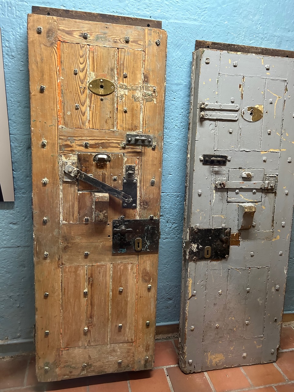
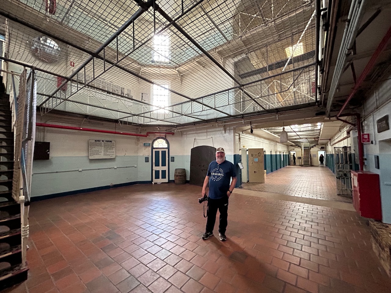
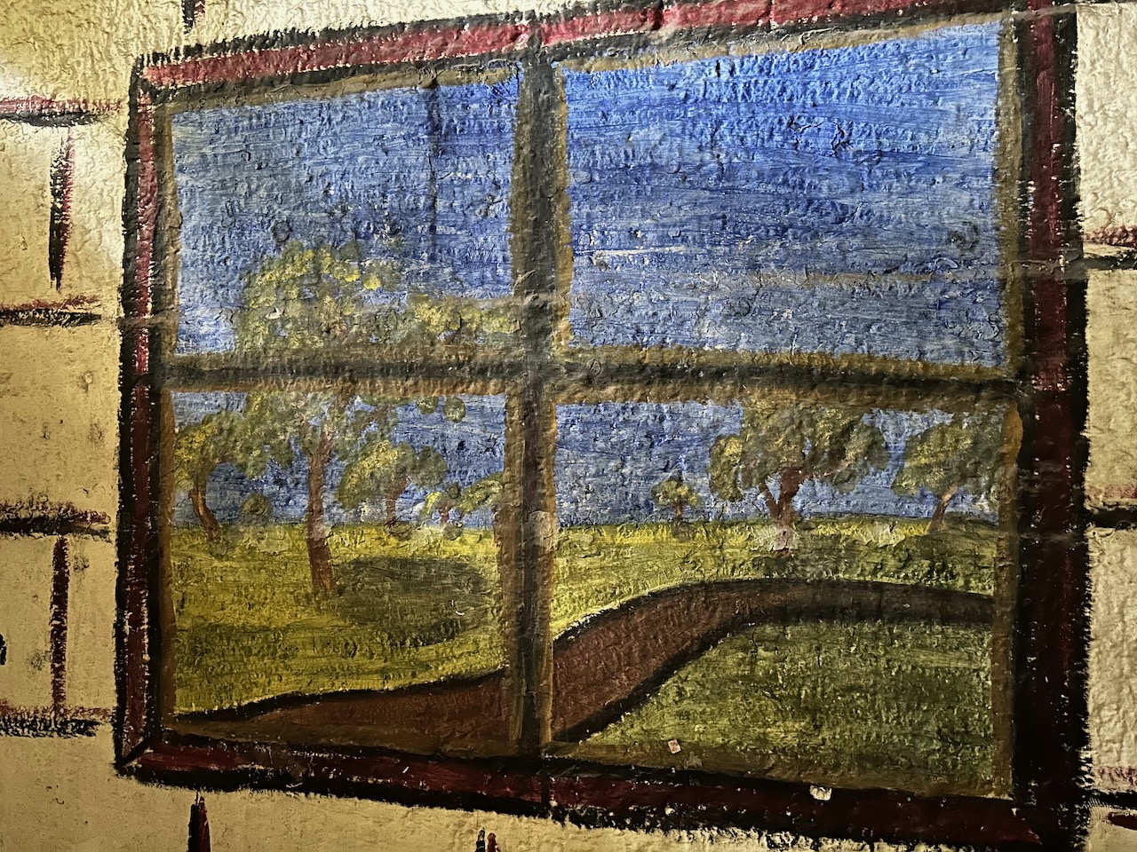
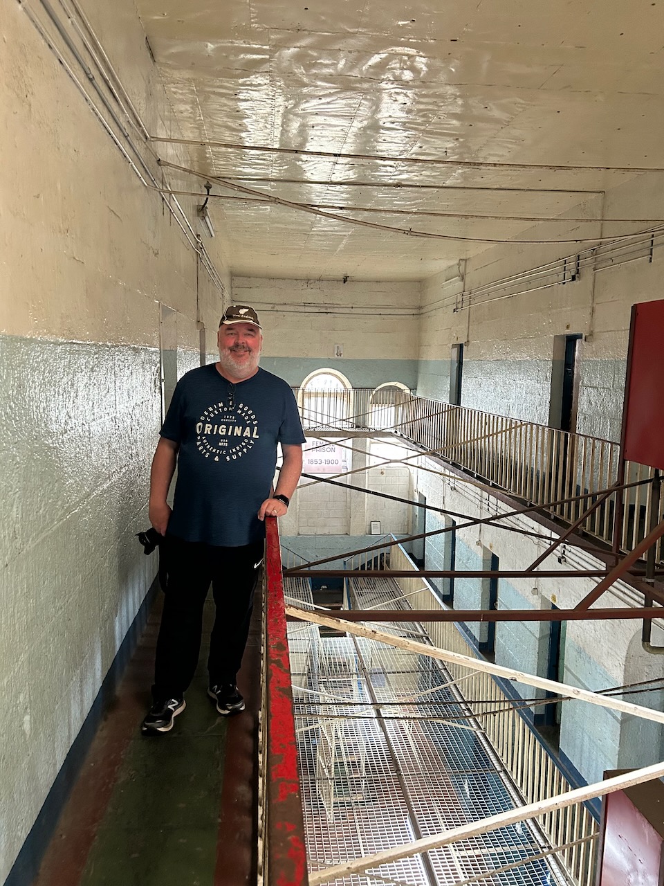
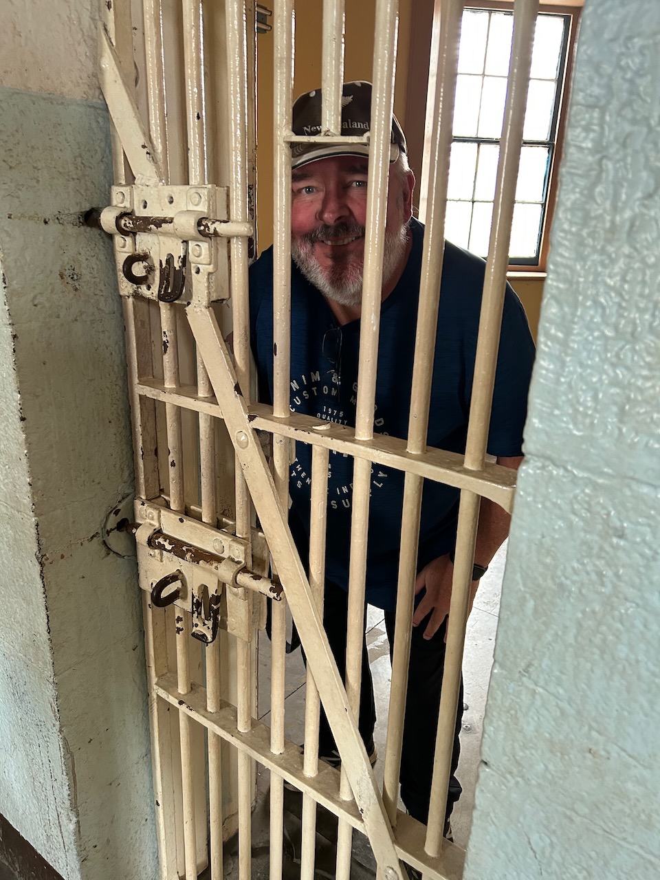
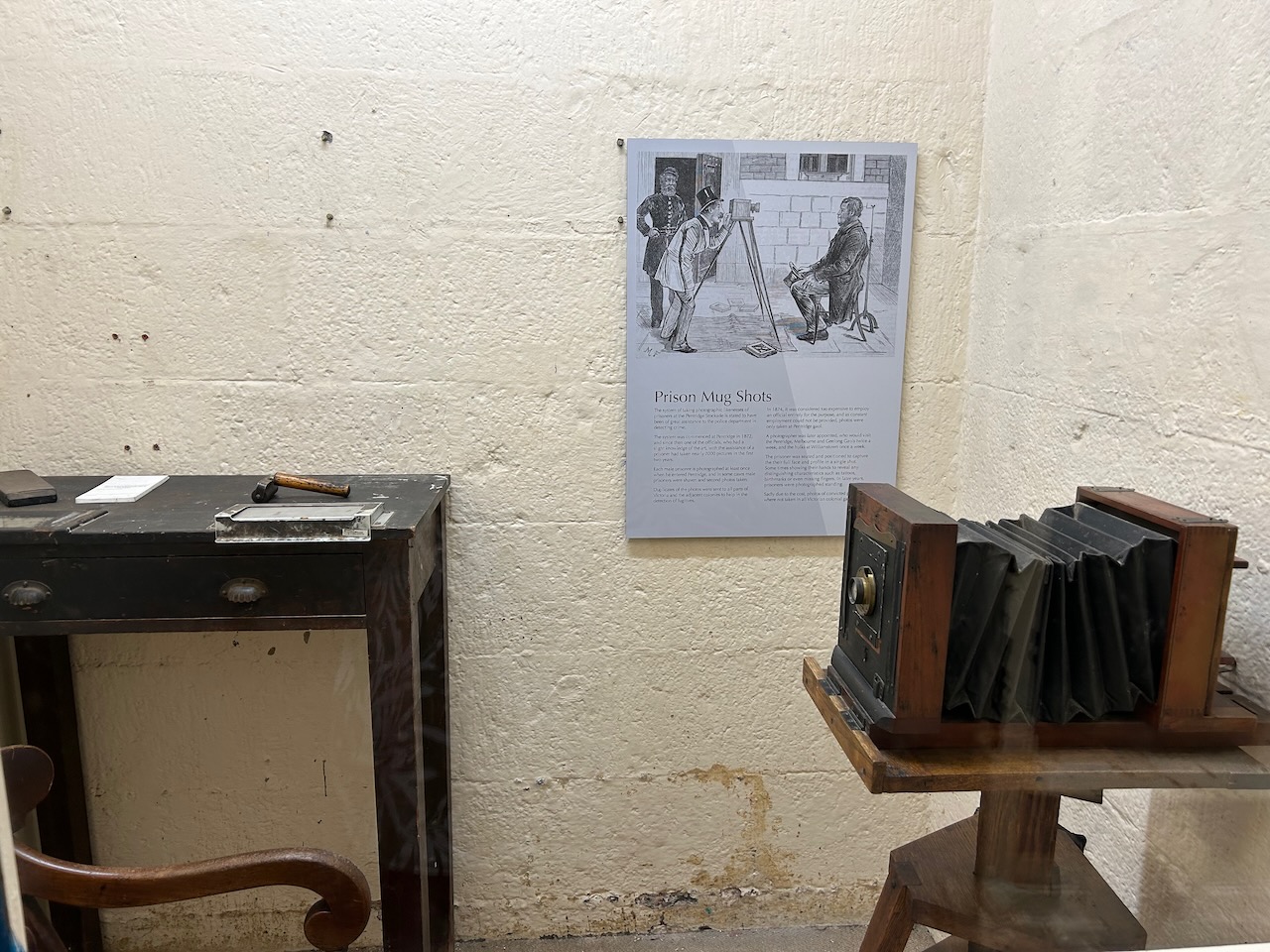
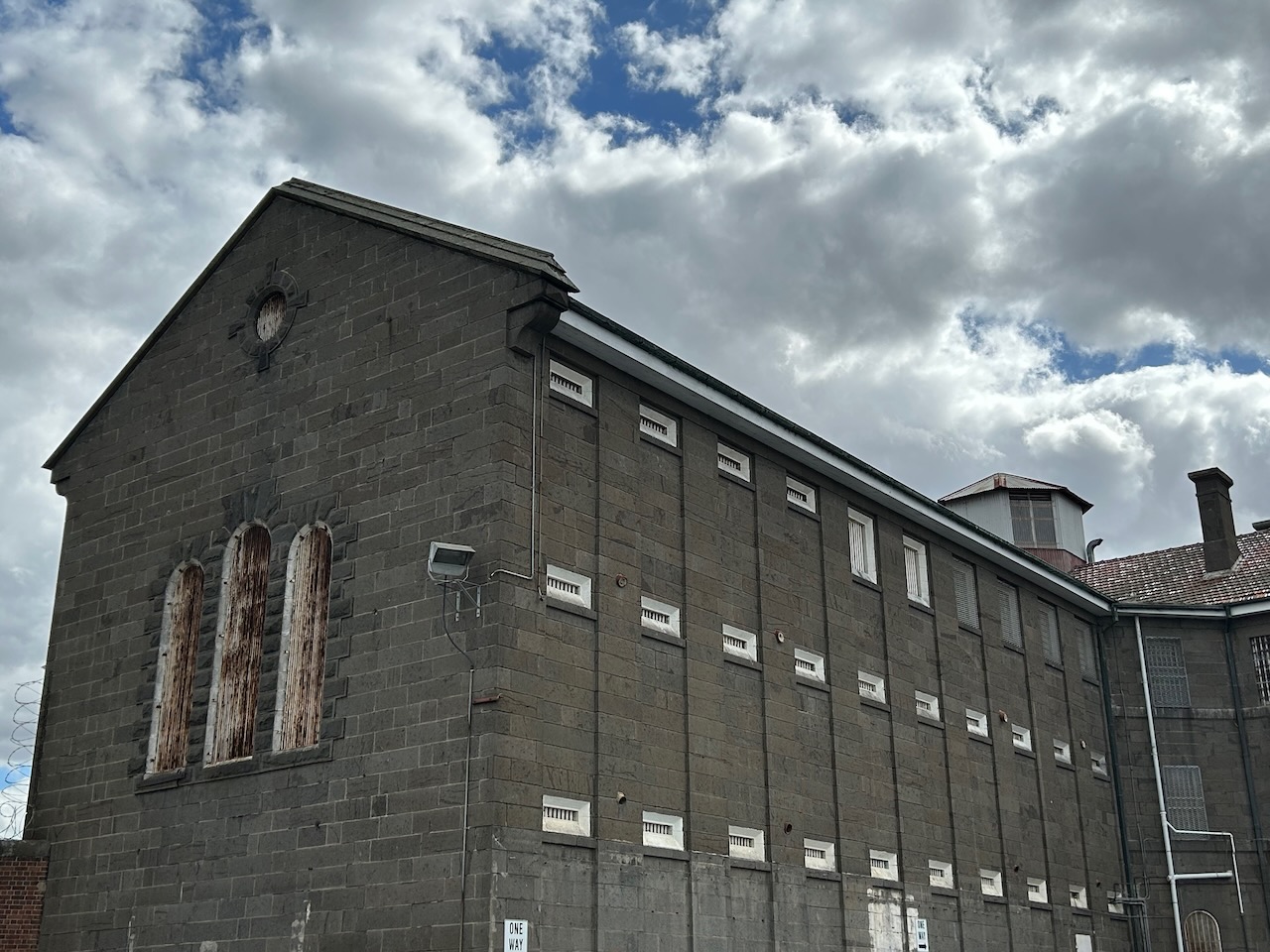
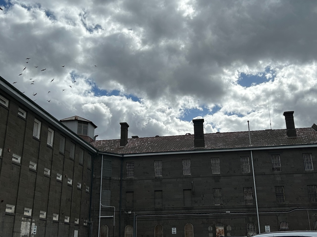
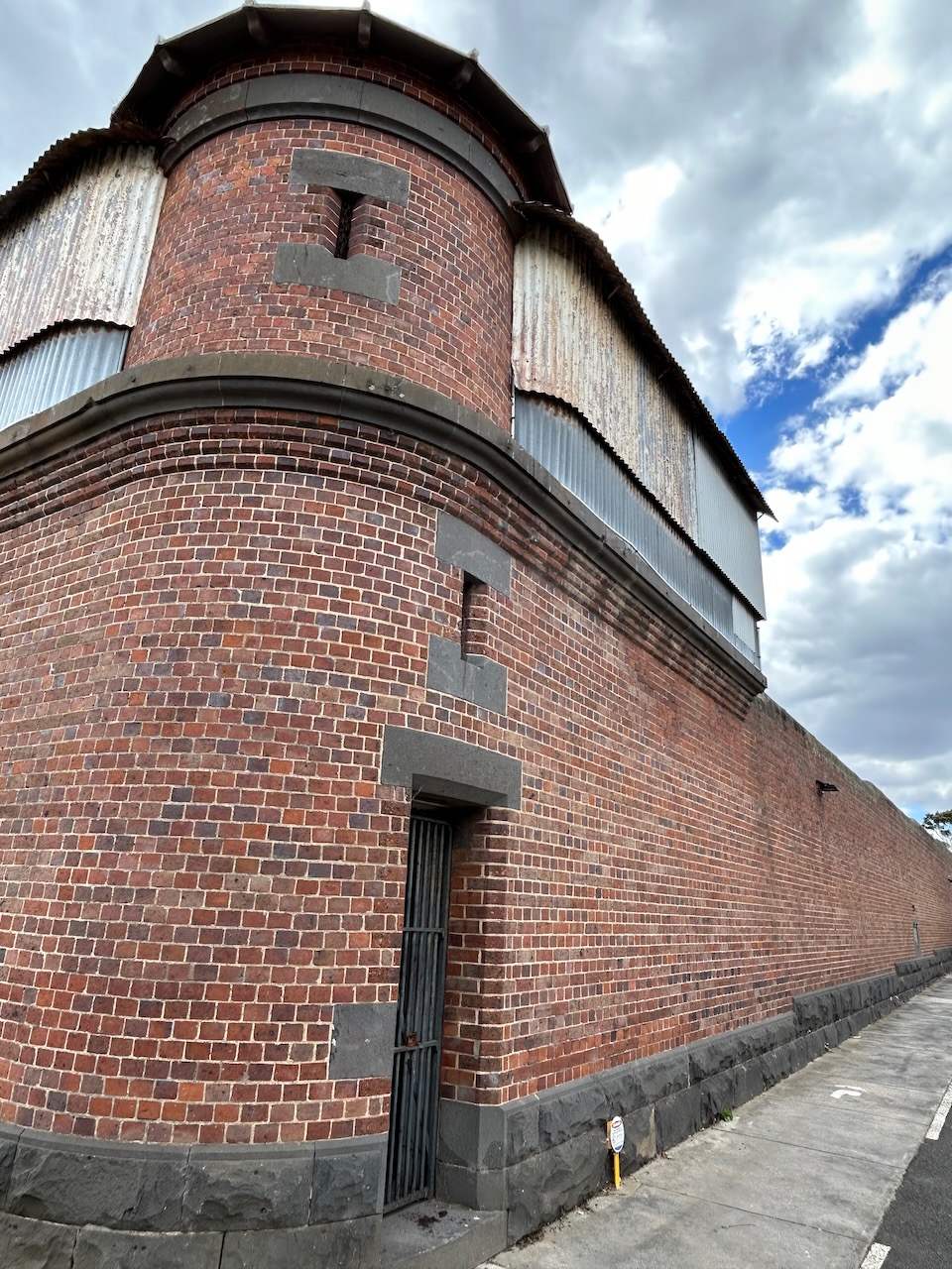
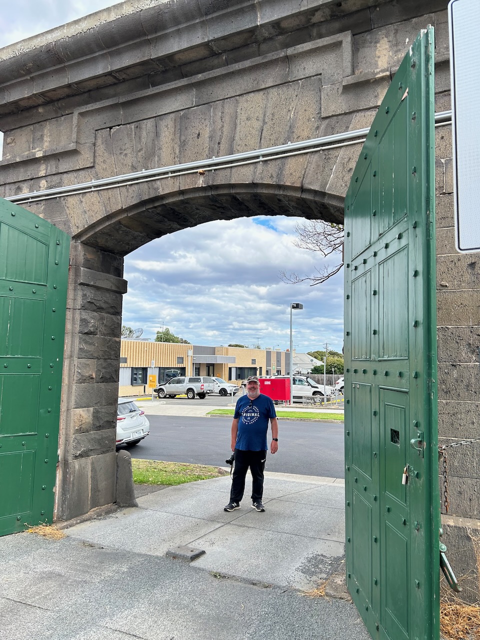
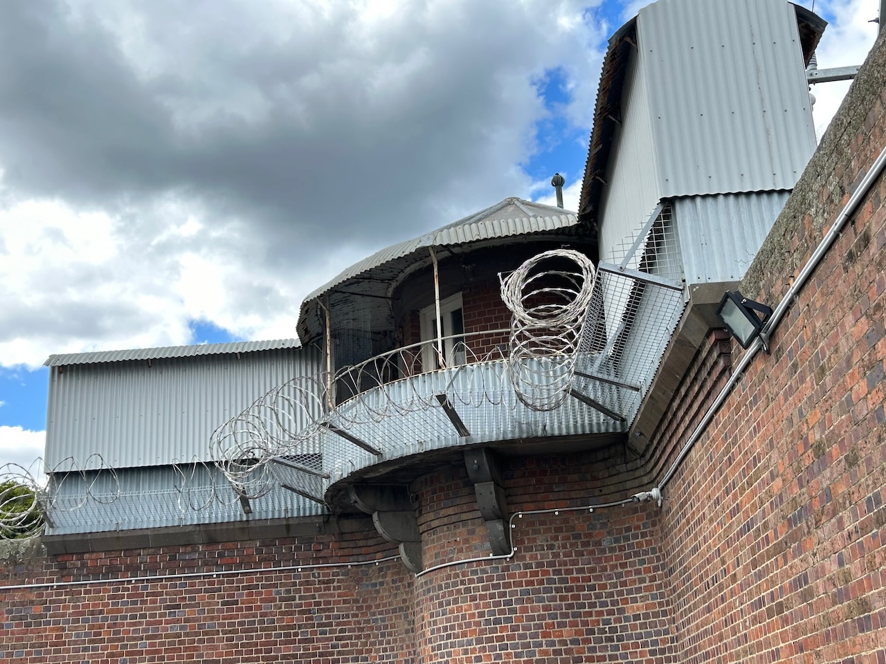
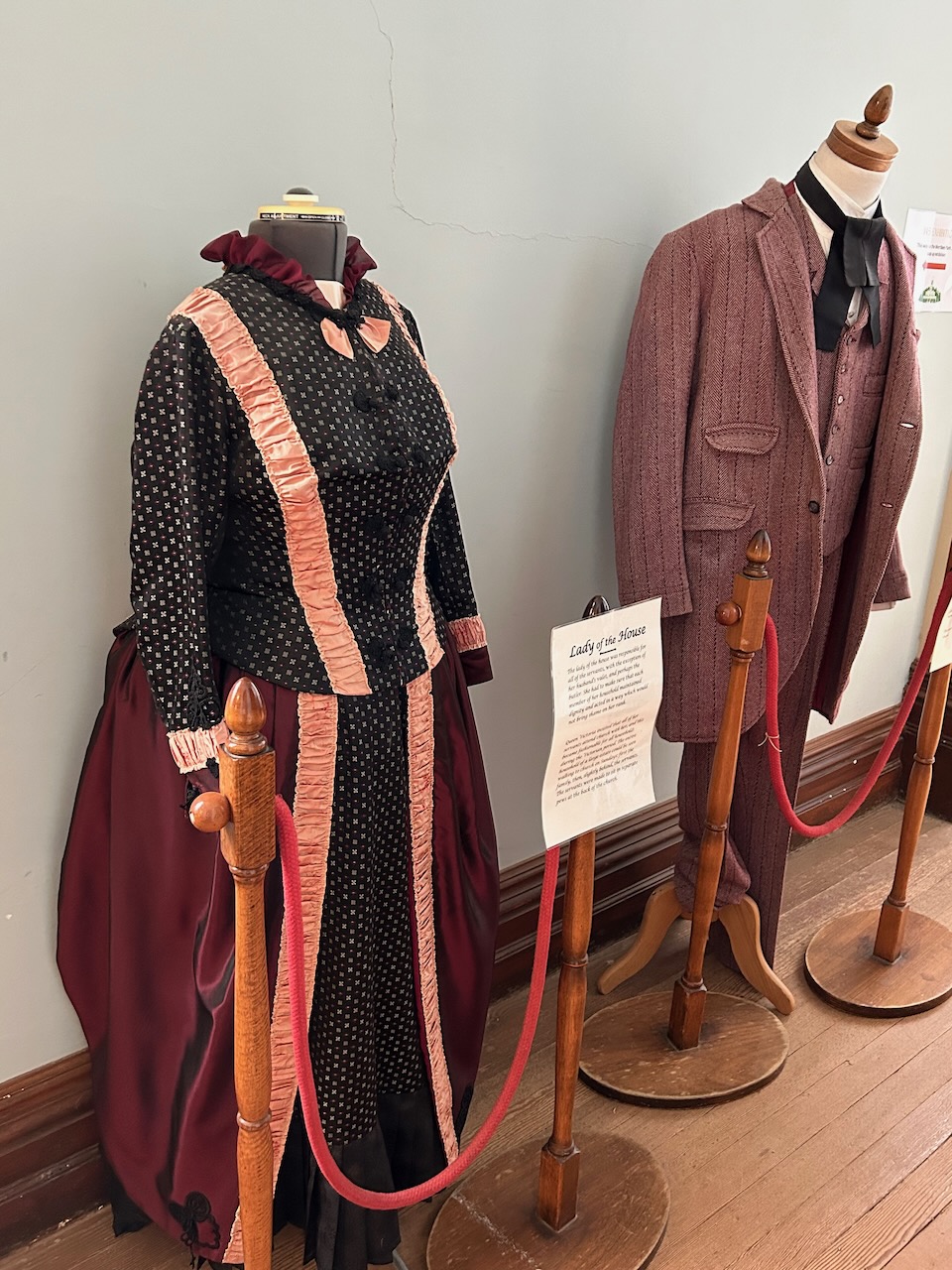
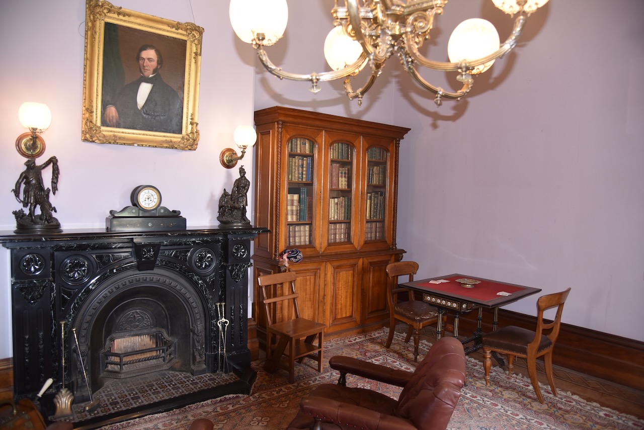
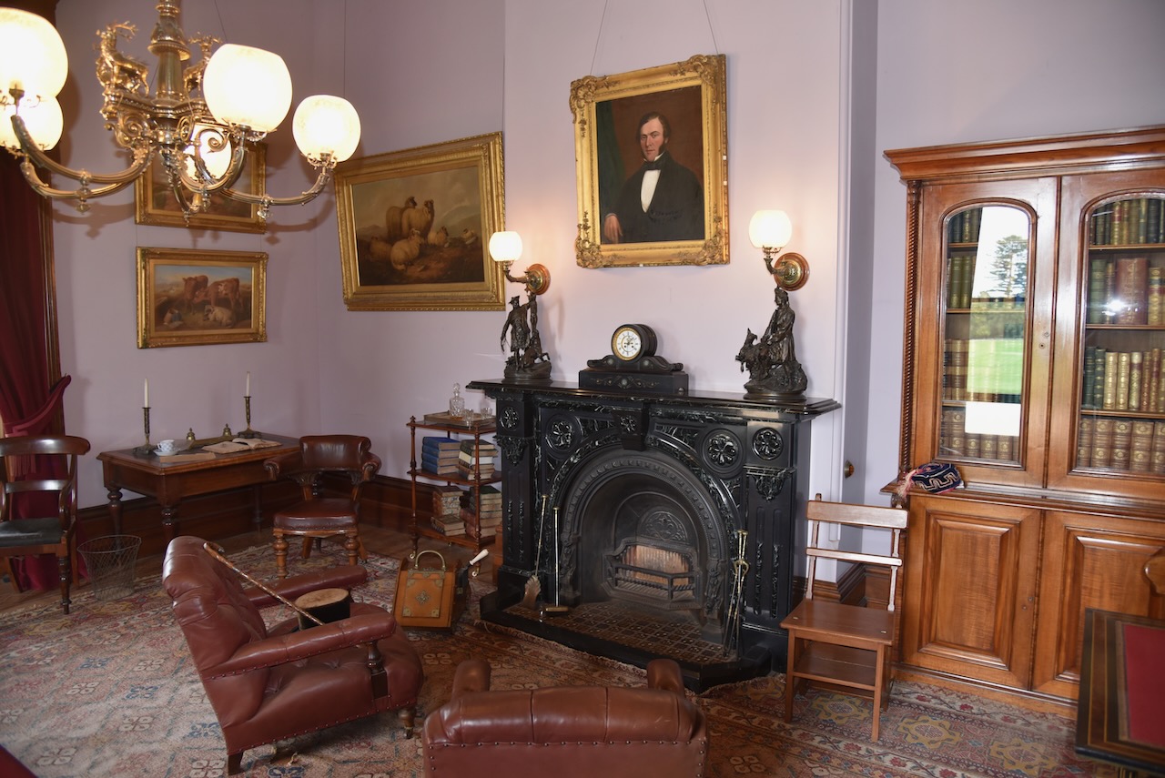
Marija and I then drove back to Geelong and visited the old HM Prison Geelong. The prison was constructed in stages from 1849 to 1864. The prison was officially closed in 1991 and prisoners were moved to the newly built HM Prison Barwon in Lara.
We took a self-guided tour around the old gaol. We can highly recommend a visit here if you are in Geelong.


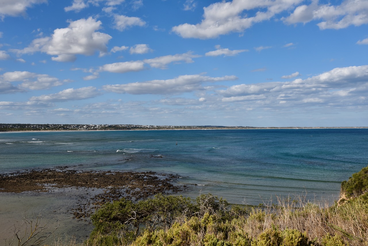
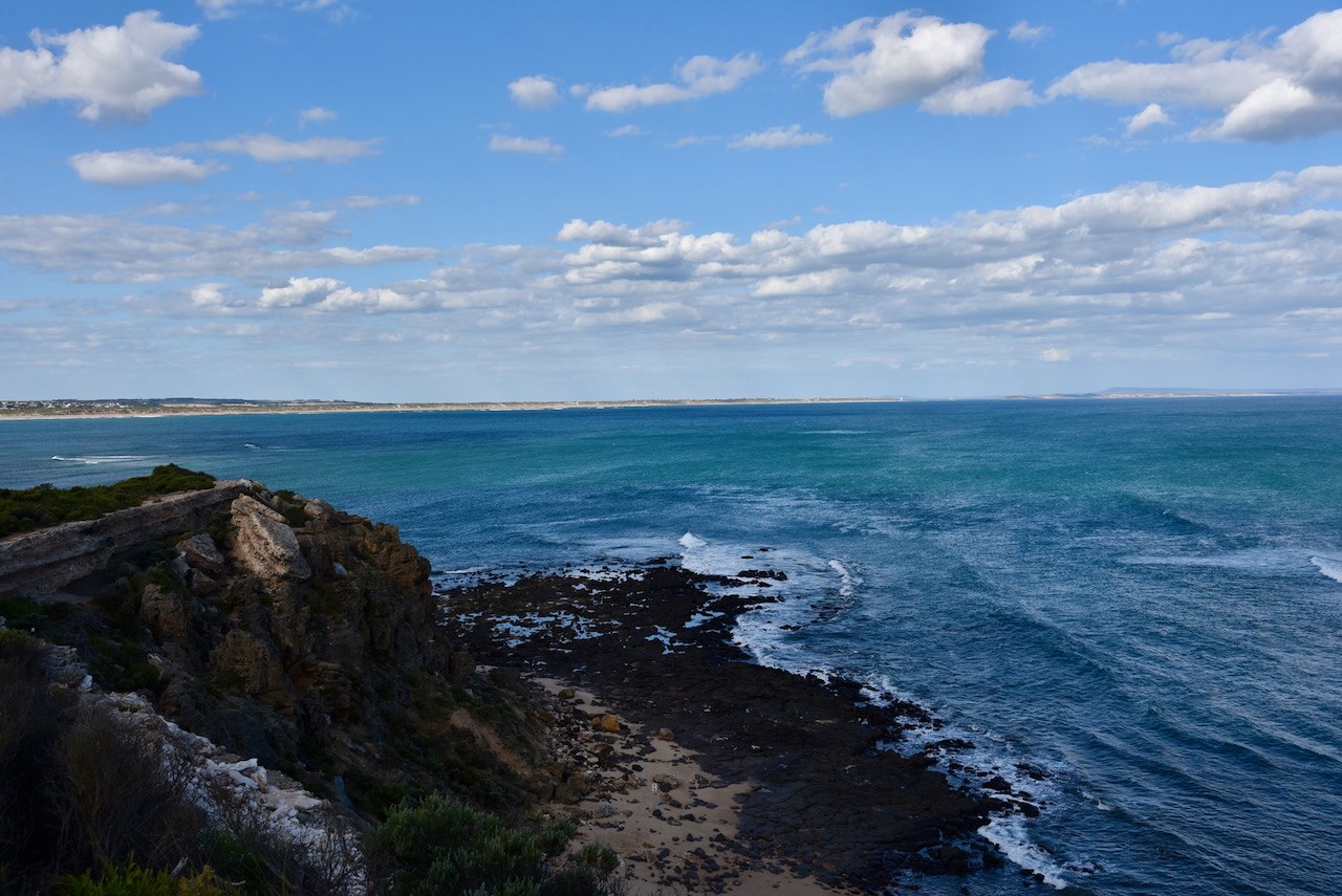
After leaving the old Geelong Gaol, Marija and I drove to Barwon Heads, a coastal township on the Bellarine Peninsula. It was originally known as Point Flinders. We went for a short walk along the walking trail which sits above the magnificent coastline.


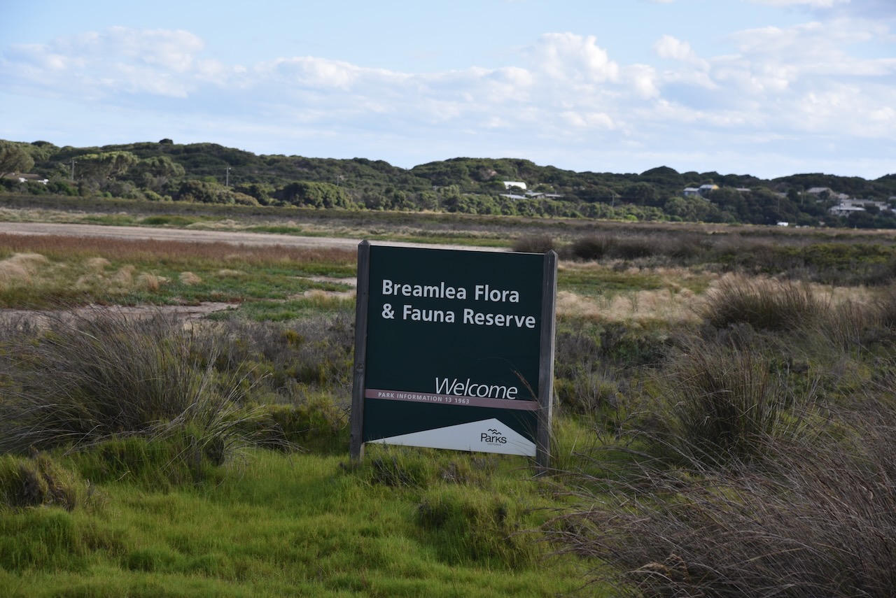
We then headed to the Breamlea Flora and Fauna Reserve VKFF-2276. We had arranged to meet our friend there, Craig VK3CRG, for a park activation for the World Wide Flora Fauna (WWFF) program.
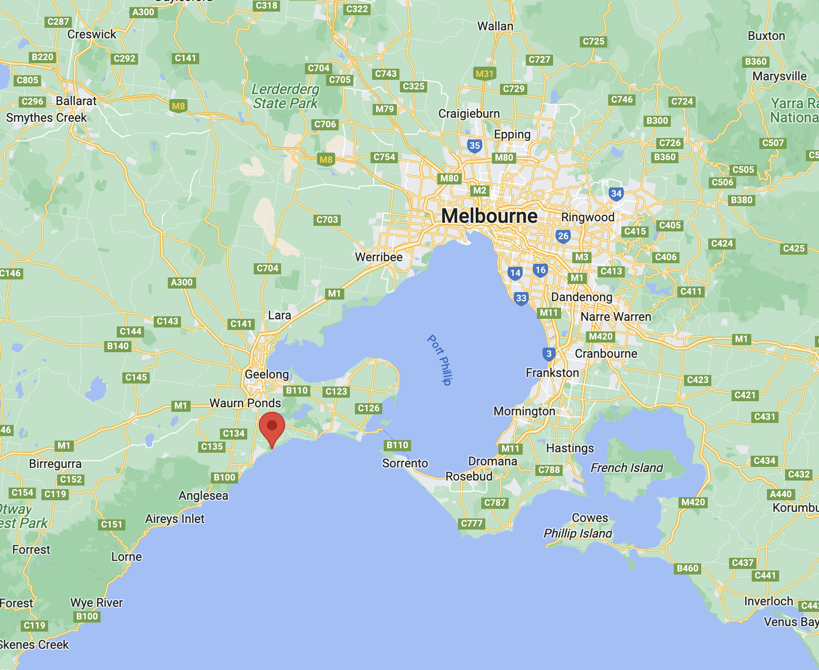
Above:- Map showing the location of the Breamlea Flora & Fauna Reserve. Map c/o Google Maps.
Breamlea Flora and Fauna Reserve is divided into two sections. The first is located just to the west of the Black Rock Water Reclamation Plant stretching to Thompson Creek. The second part is located on the western side of Point Impossible Road and stretches to Point Impossible Beach.

The park is divided into these two sections by Thomsons Creek, also known as Bream Creek. At the mouth of the creek is Point Impossible which is a well-known longboard surfing break. The park was declared on the 1st day of May 1979 and is 214 hectares in size.

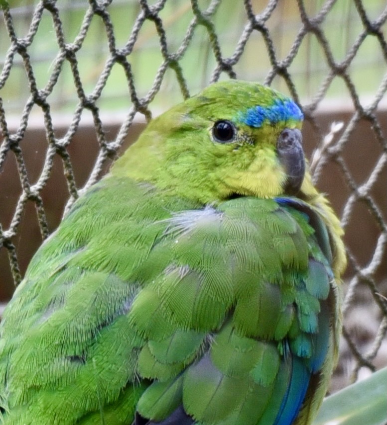
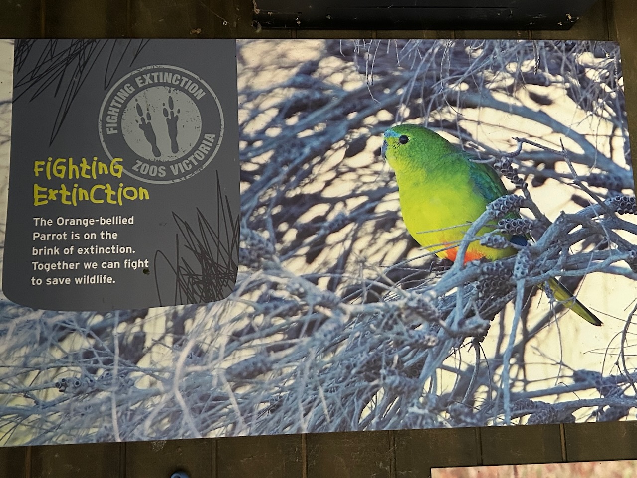
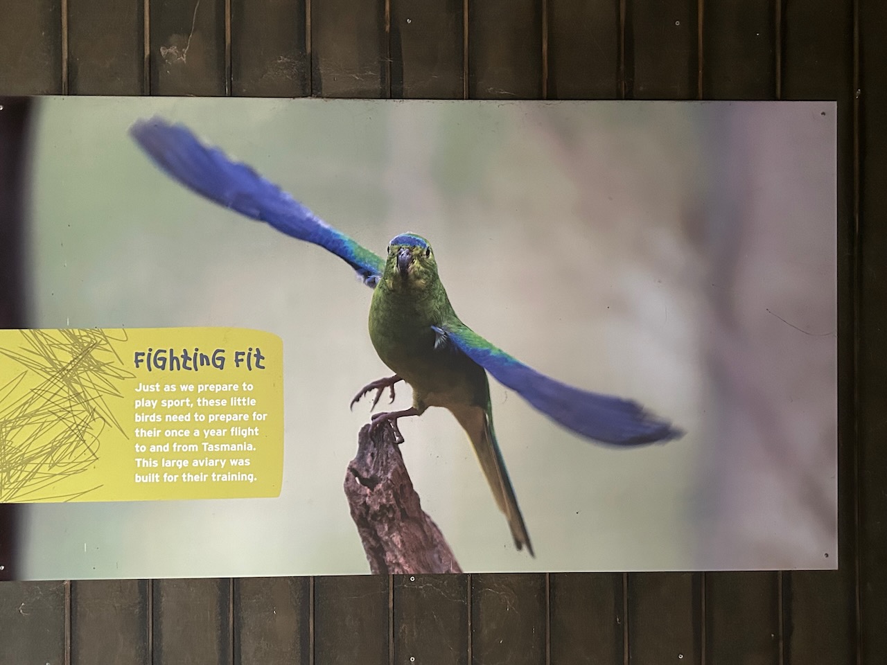
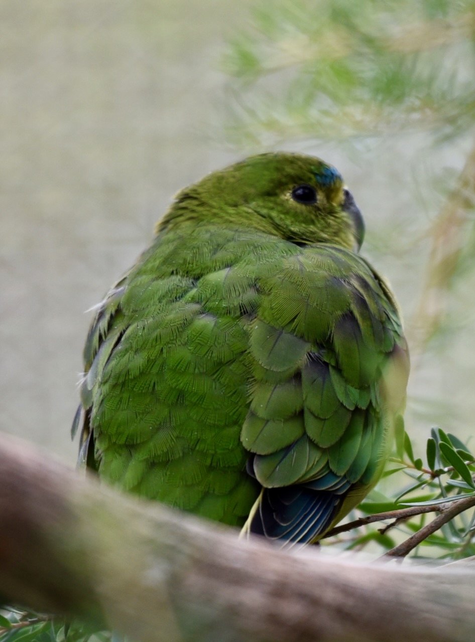
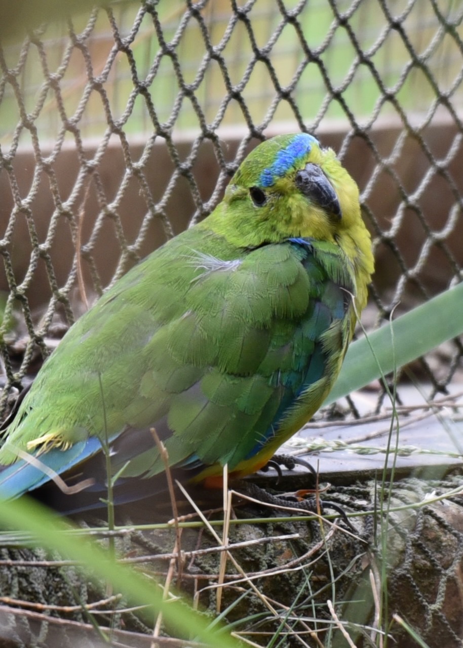
The critically endangered Orange Bellied Parrot can be found in the park. We were fortunate to see these parrots in captivity at the Werribee Zoo. There are fewer than 50 left in the wild. The Orange Bellied Parrot migrates annually to winter in South Australia from Tasmania, passing through Victoria en route.
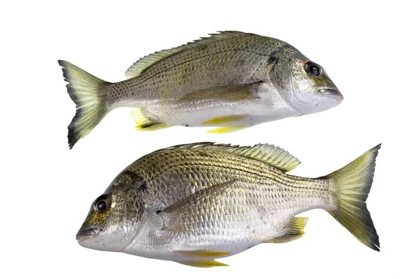
Other than Bream, Thompsons Creek is home to Big Headed or Flathead Gudgeon, Greenback Flounder, Long-snouted Flounder, Tommy Ruff, Yellow-eyed Mullet, and Australian Salmon.
The Breamlea area was once inhabited by the Mon Mart Clan of the Wathaurong aboriginal people. The area was rich in seafood for the aboriginal people. Large middens of discarded shellfish can be seen on the headland between Buckleys Bay and Stingray Bay.
The escaped convict William Buckley lived in the Breamlea area, and a well which is located across the road from the caravan park is reputed to have been used by Buckley.
In 1891 the SS Bancoora ran aground off Buckleys Beach. The crew came ashore and camped in the dunes at Breamlea. The area was known from that time on as Bancoora. The area was also known as Bream Creek due to the large number of Yellow Fin Bream located in Thompson Creek (formerly known as Bream Creek).
In 1912 the Committee of Management of the Bream Creek Recreation Reserve was formed. A campsite on the Crown Land could be acquired for a year for the price of two shillings and sixpence. Three years later in 1915, shacks commenced to be built. Many of these shacks were built with whatever could be found in the area, including debris from shipwrecks that had been washed ashore on the beach. During the Great Depression of the 1930s, these huts became home to numerous people who could not afford to rent premises in nearby Geelong.
The Surveyor General subdivided the land at Breamlea for sale at a public auction. This included a Recreation Reserve of 5 acres (today the Breamlea Recreation Reserve), and a Municipal Reserve (Cahir Park).
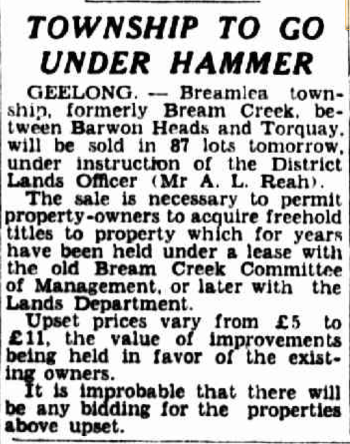
It was not until October 1941 that the town of Breamlea was proclaimed in the Government Gazette.

Above:- Article from The Argus, Fri 17 Oct 1941. Image c/o Trove.
The Surveyor General subdivided the land at Breamlea for sale at a public auction. This included a Recreation Reserve of 5 acres (today the Breamlea Recreation Reserve), and a Municipal Reserve (Cahir Park).
Above:- Article from The Herald, Melbourne, Tues 24 Mar 1942. Image c/o Trove.
We set up at the end of Horwood Drive, on the banks of Thompsons Creek. There is a small narrow piece of land here which is within the park boundary.

Above:- Aerial view showing our operating spot. Image c/o Google Earth.
We ran the Yaesu FT857, 40 watts, and the 20/40/80m linked dipole for this activation.
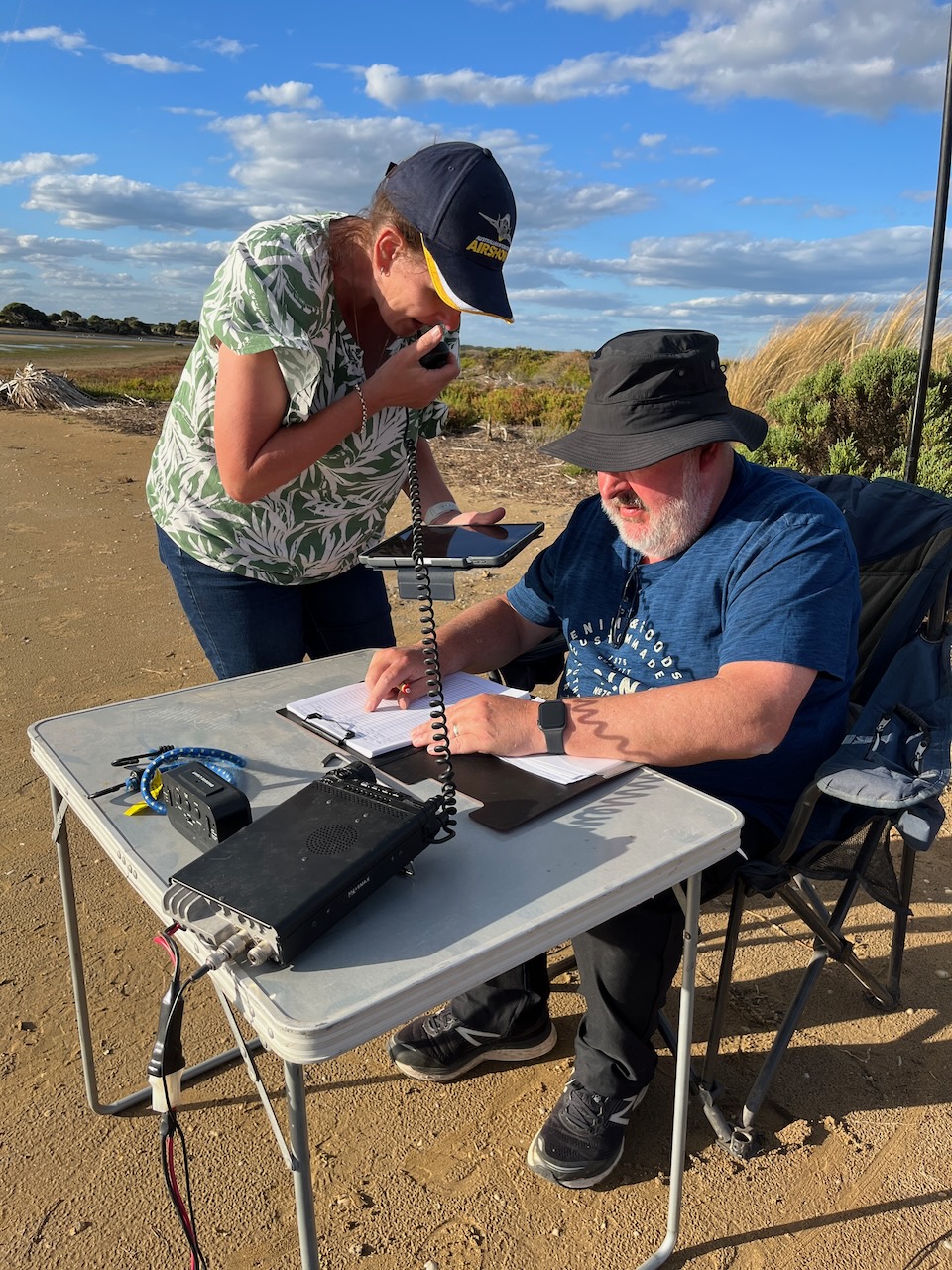


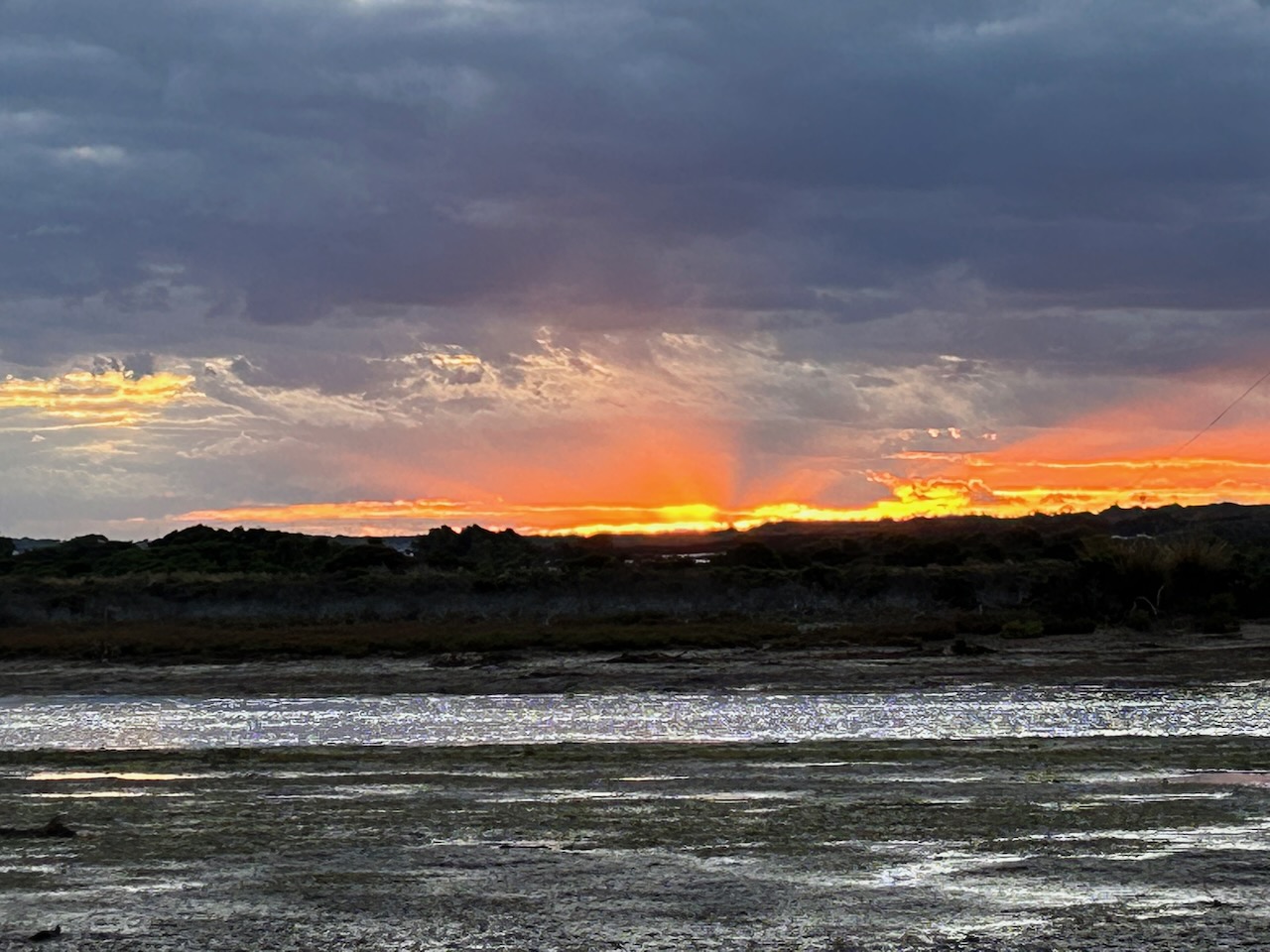
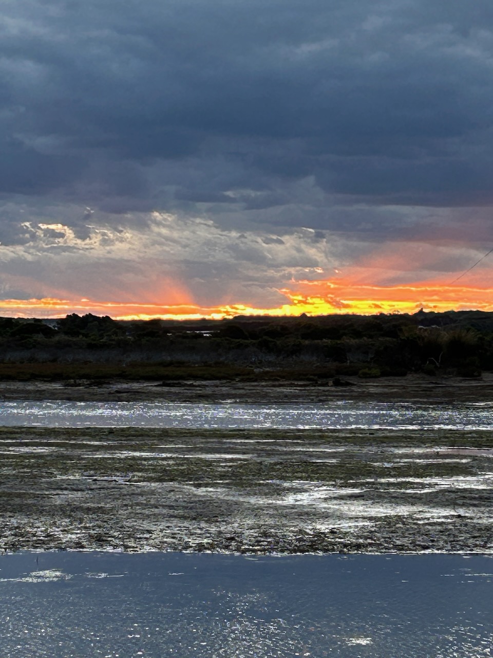
Myself, Marija, and Craig had all qualified the park, and it was starting to get cold as the sun set. So we decided to pack up after a successful and very enjoyable activation.
Marija worked the following stations on 40m SSB:-
I worked the following stations on 40m SSB:-
I worked the following stations on 20m SSB:-
I worked the following stations on 80m SSB:-
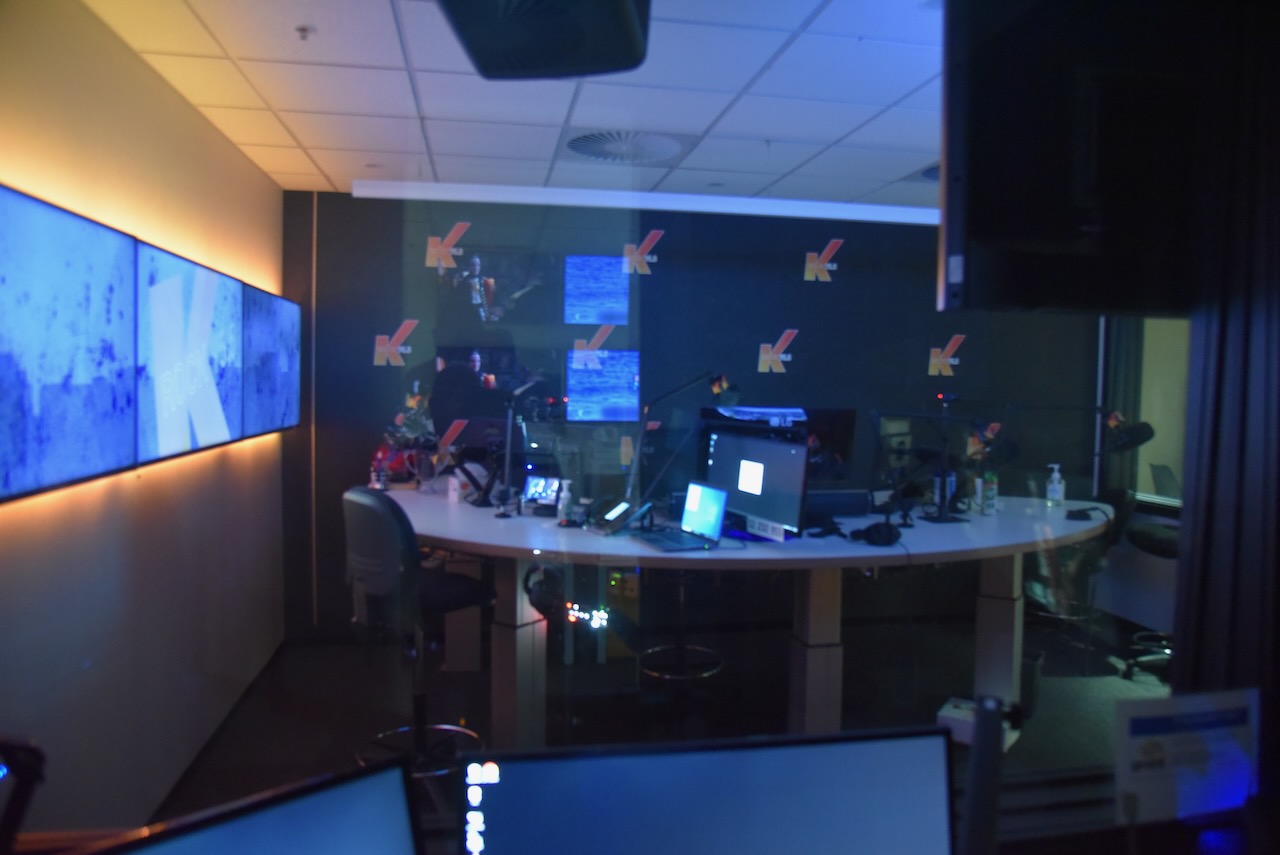
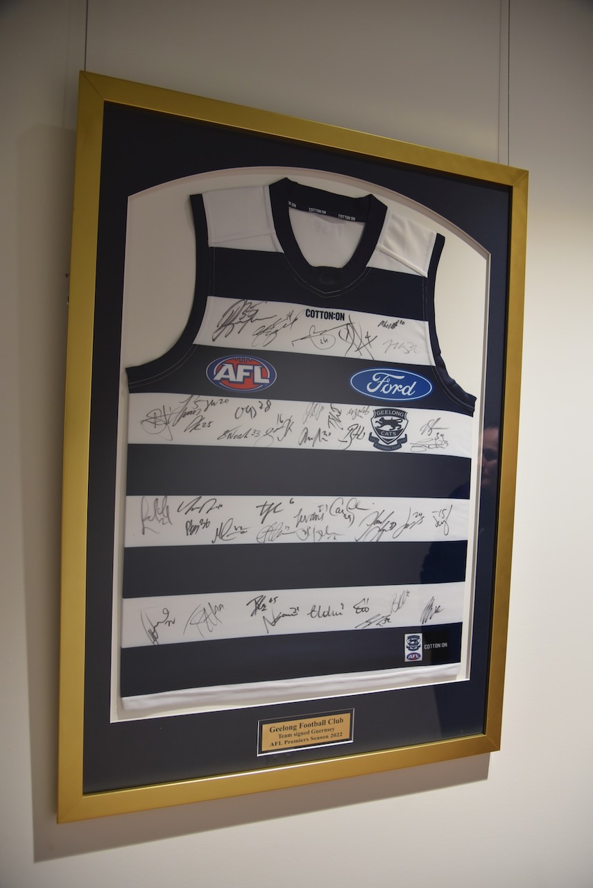
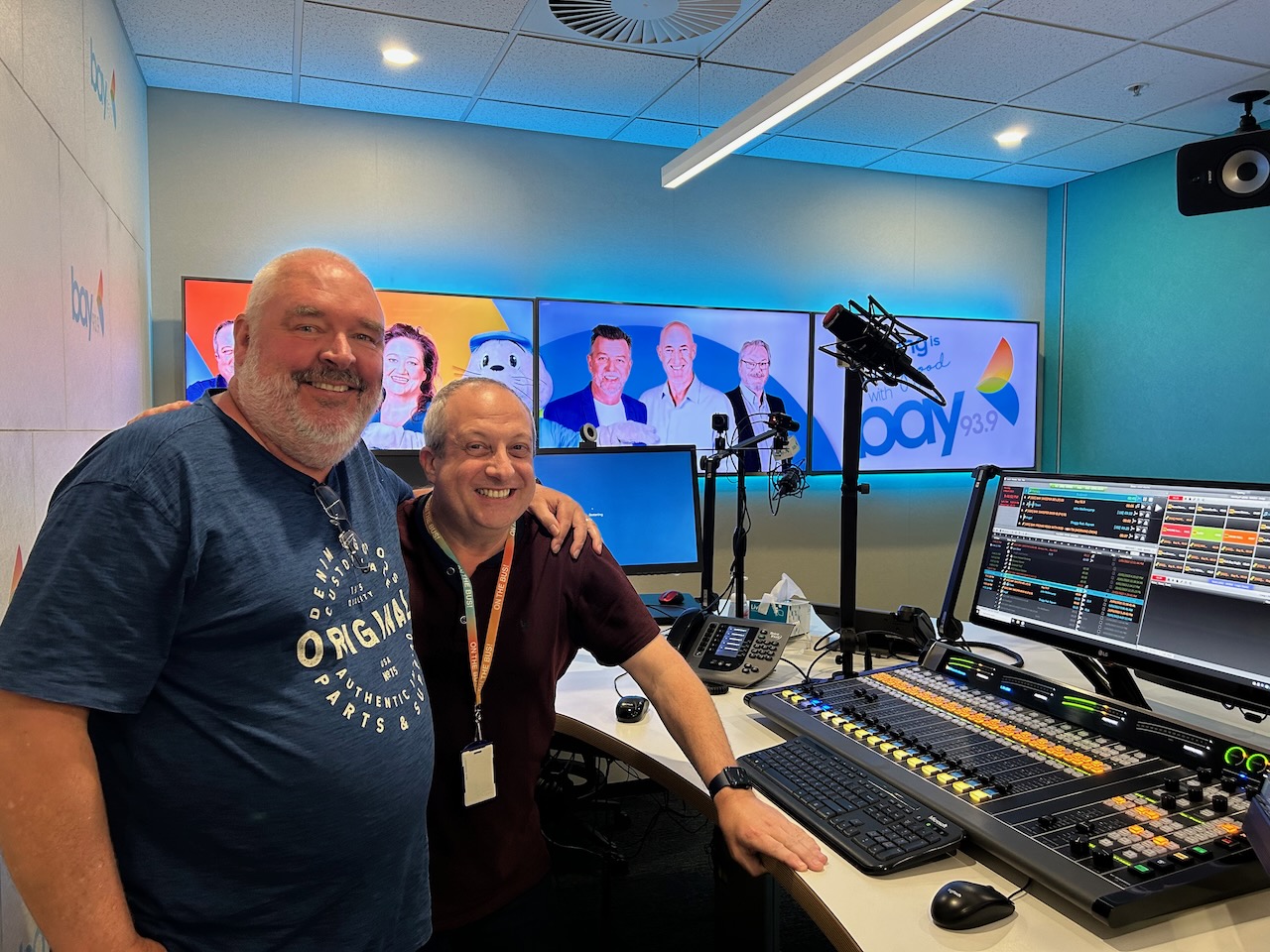
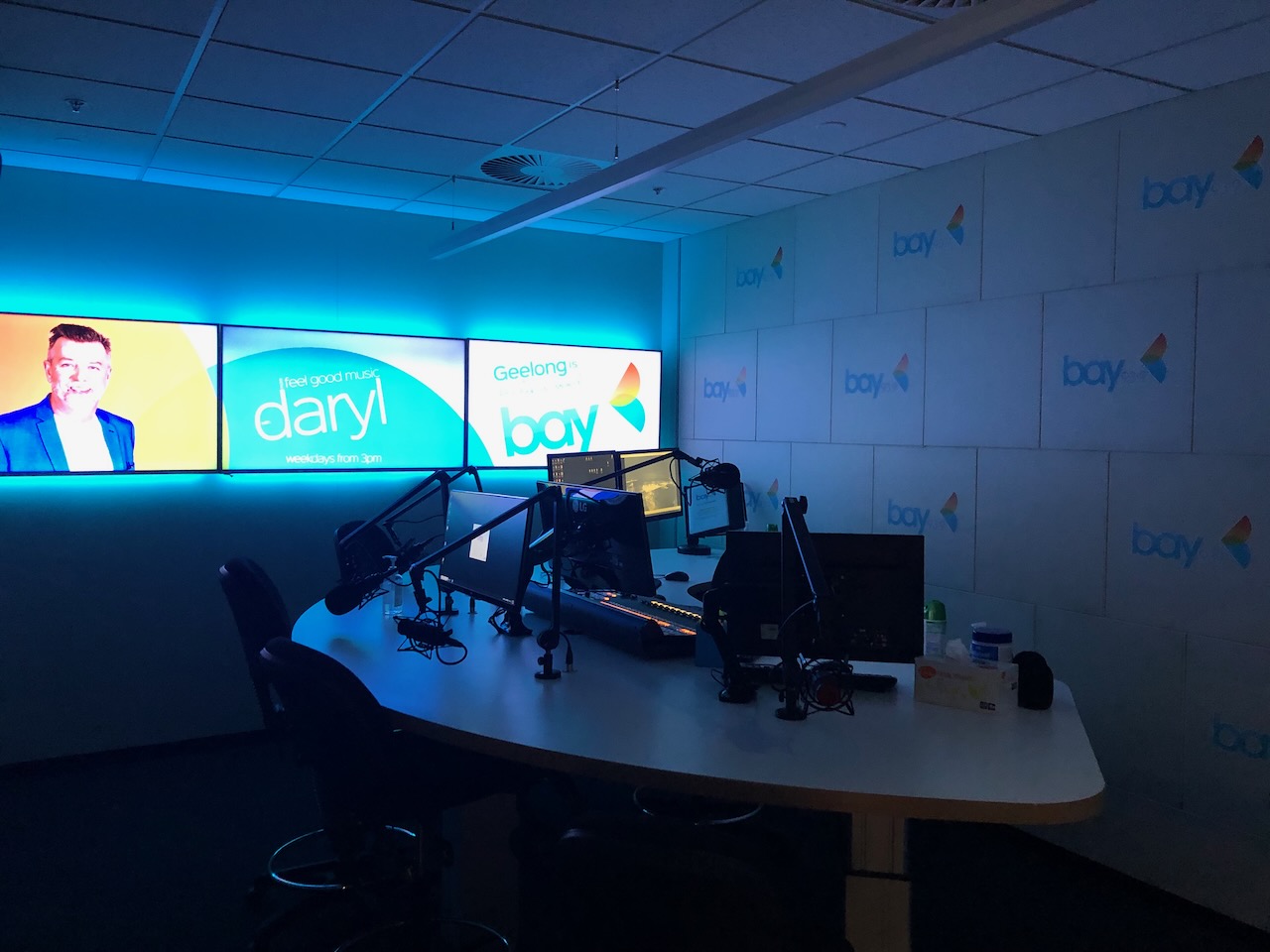
After leaving the Breamlea Flora & Fauna Reserve, Craig, Marija, and I went to get a bite to eat. We then drove back into Geelong where Craig took us for a tour around Bay FM where he works as a radio announcer. Thanks so much Craig, we really appreciated the tour which was extremely interesting.


References.
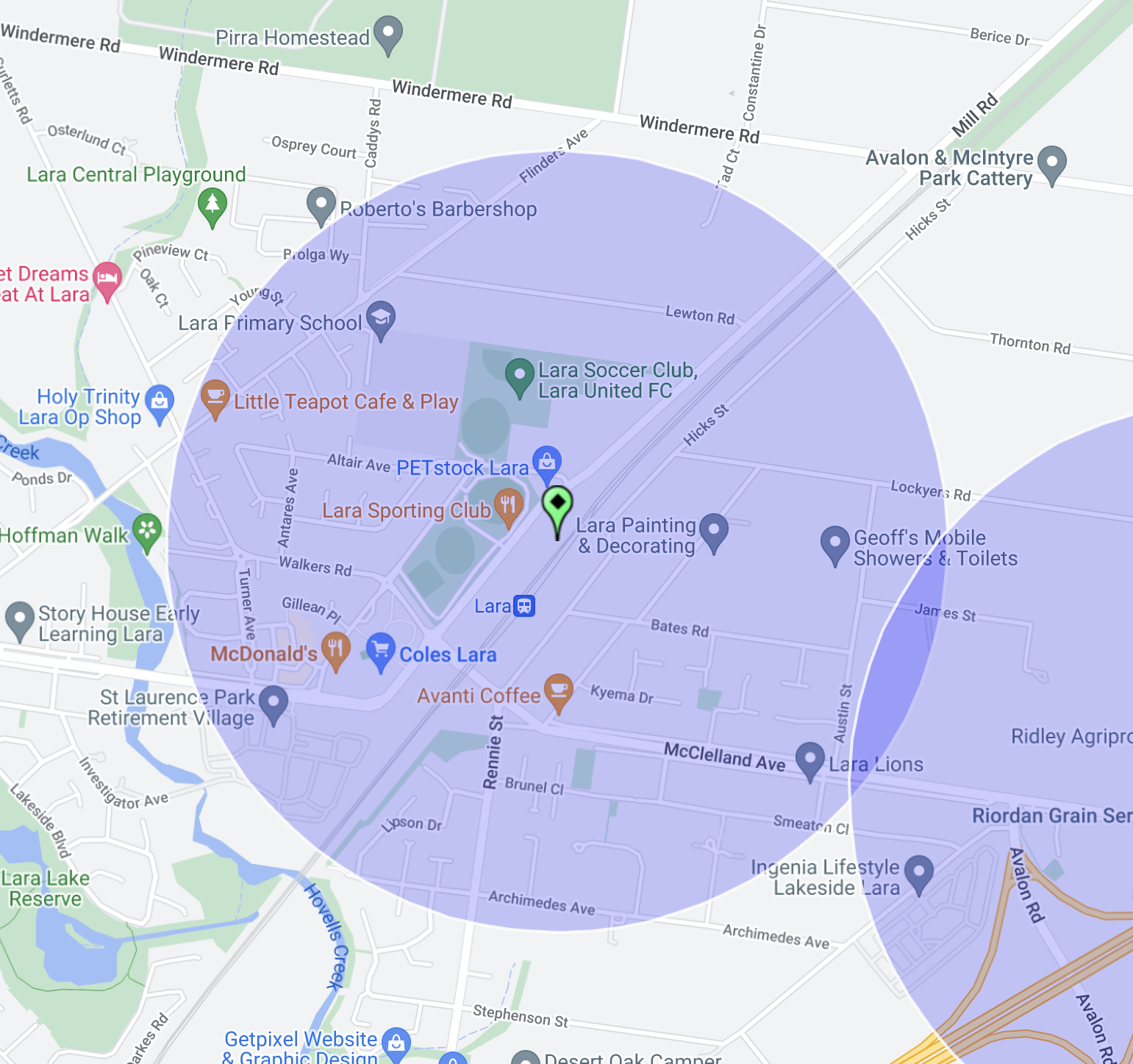
After leaving the Little River silo 2nd March 2023), Marija and I drove the short distance to the second silo in Lara, the Lara silo VK-LRR3.
Above:- Map showing the location of Lara, north of Geelong. Map c/o Google Maps.
The Lara silo is located alongside the railway line on Mill Road in Lara. It is located opposite the Lara Sporting Club
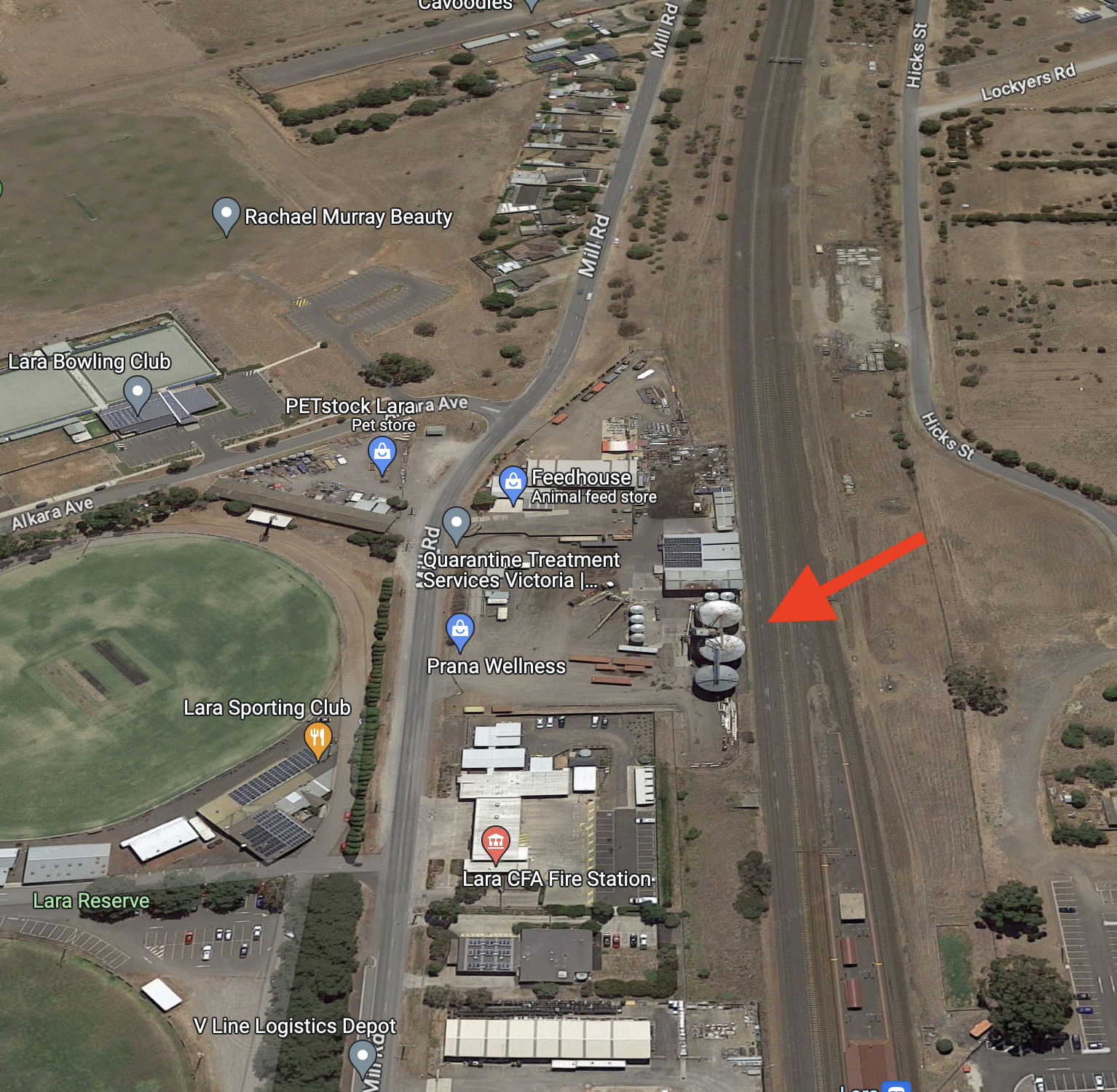
Above:- Aerial view showing the location of the Lara silos. Image c/o Google Maps.
The Lara silos are operated by Quarantine Treatment Services Victoria (QTSV), Australia’s leading export of grain, barley, and pulses (grain legumes). There are five silos on the property:-
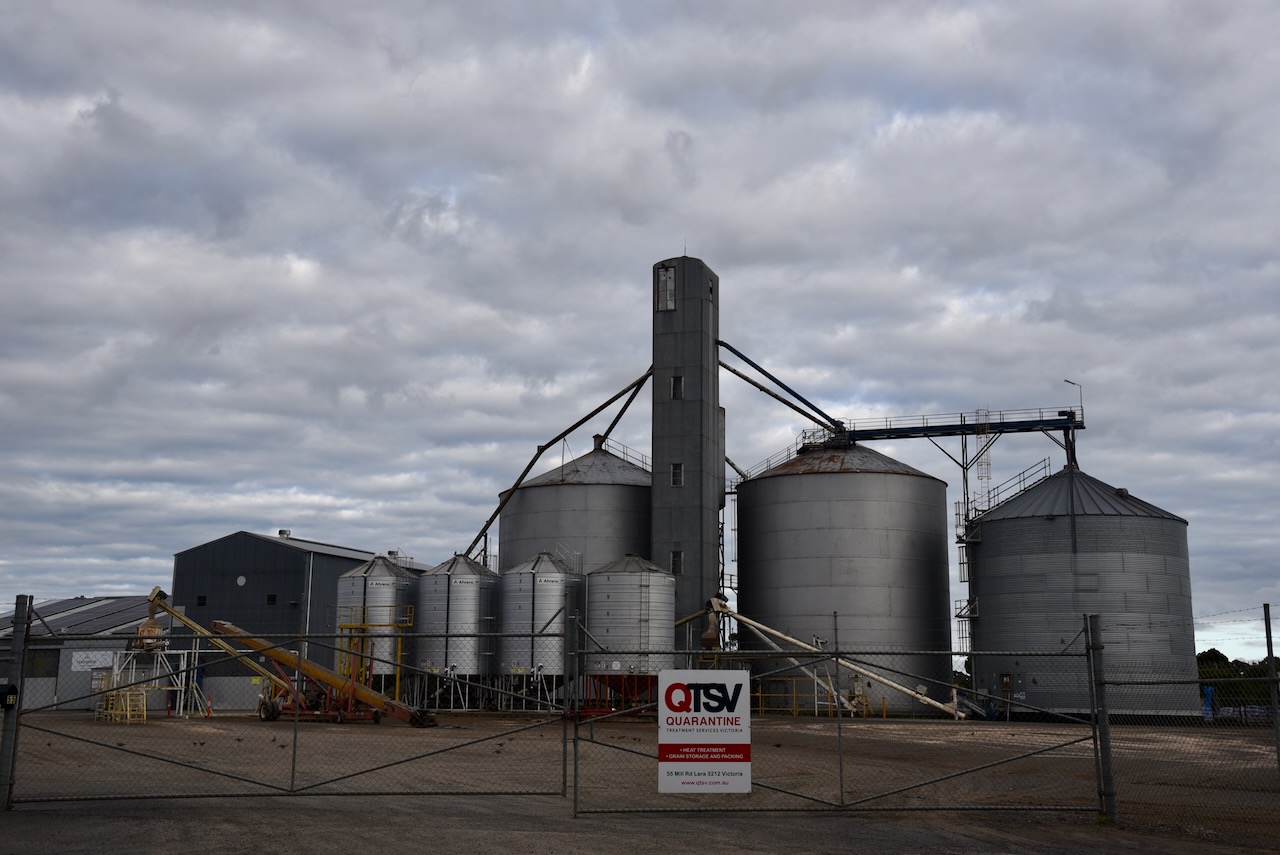


We parked on Mill Street, opposite the silos. Surprisingly the noise floor was not bad, considering we were right in the heart of busy Lara. We operated from the 4WD, running the Icom IC-7000, 100 watts, and the Codan 9350 (1.5 m stainless steel whip).
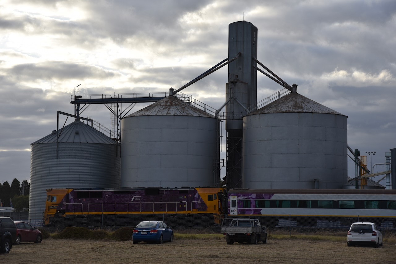
Above:- the activation zone at the Lara silo. Image c/o SiOTA website.
Marija worked the following stations on 40m SSB:-
I worked the following stations on 40m SSB:-
I worked the following stations on 20m SSB:-
References.
After leaving The Spit Wildlife Reserve (2nd March 2023), Marija and I headed to the Little River silo VK-LRA3 which is located in the town of Lara. We intended to activate the silo for the Silos On The Air (SiOTA) program.
Above:- Map showing the location of Lara. Map c/o Google Maps.
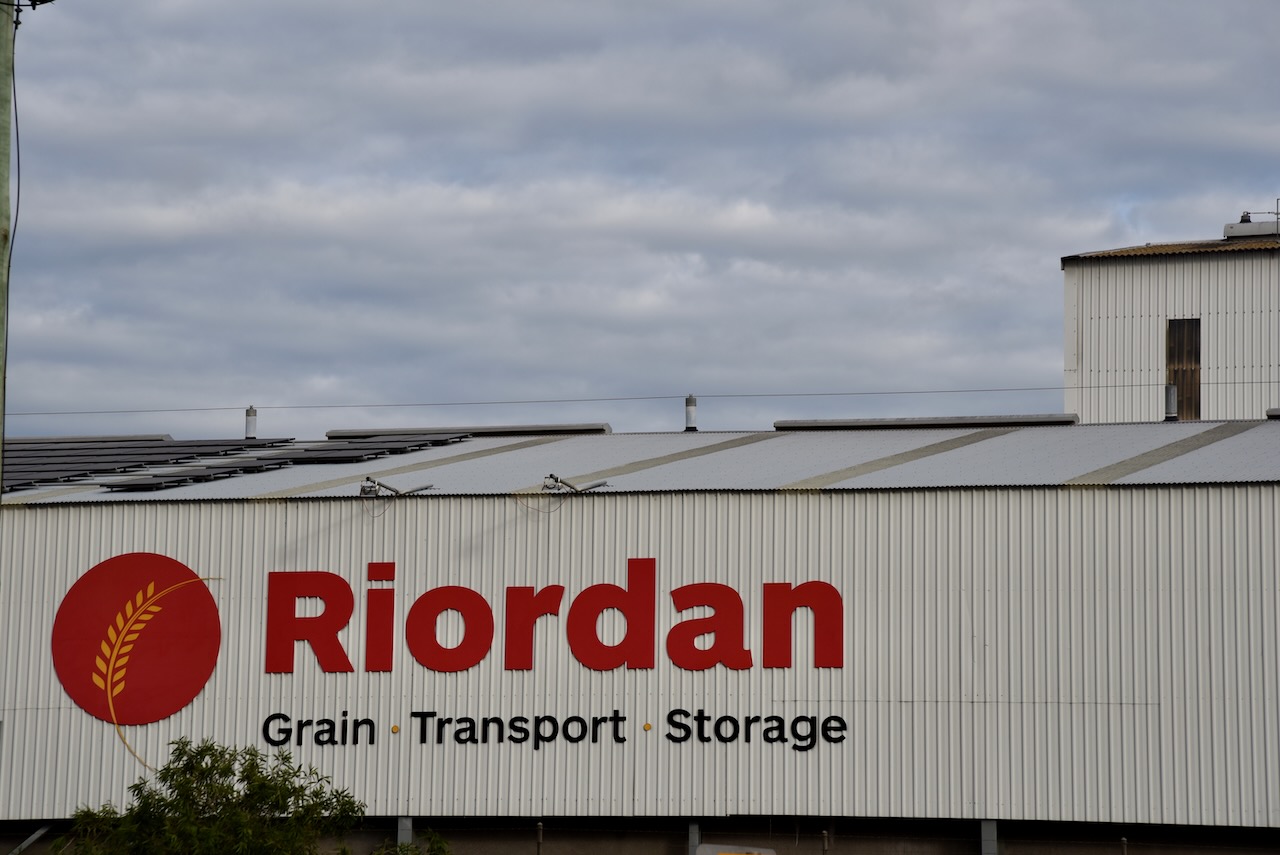
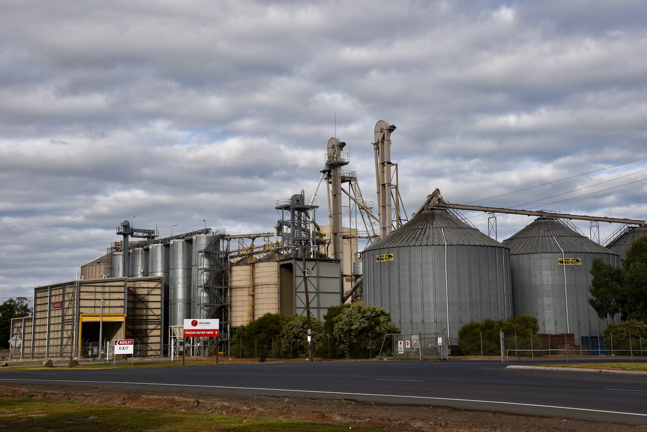
The silo complex is located on the southern side of Old Melbourne Road, just northeast of Perkins Road. The silos are owned by Riordan Grains, one of Victoria’s largest grain-handling companies. The company commenced as a one-man, one-truck operation in the Lara region. The company has expanded to a fleet of 14 trucks and about 135 employees.
Although referred to in SiOTA as the Little River silo, the silo is actually located in Lara, a little further to the south of Little River. The silos have a storage capacity of 60,000 tonnes, along with eight 400-tonne silos.
Below is a short video about Riordain Grains.
Marija and I parked directly opposite the silos on Old Melbourne Road, and surprisingly we had very little noise on the bands. We operated from the 4WD, running the Icom IC7000, 100 watts, and the Codan 9350 antenna with the 1.5 m stainless steel whip.

Above:- the activation zone at the Little River silo. Image c/o SiOTA website.
Marija worked the following stations on 40m:-
I worked the following stations on 40m SSB:-
I worked the following stations on 20m SSB:-
References.
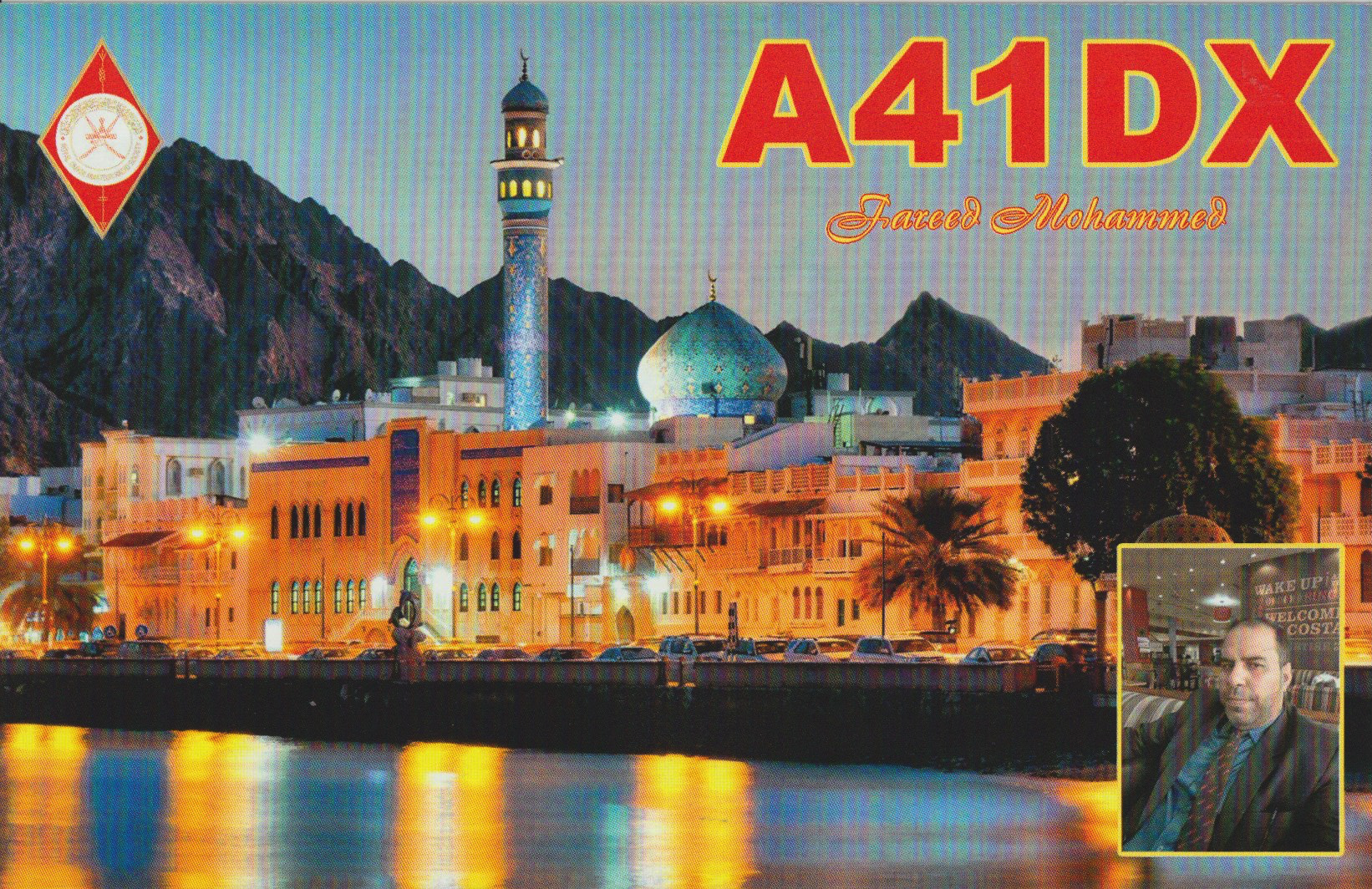
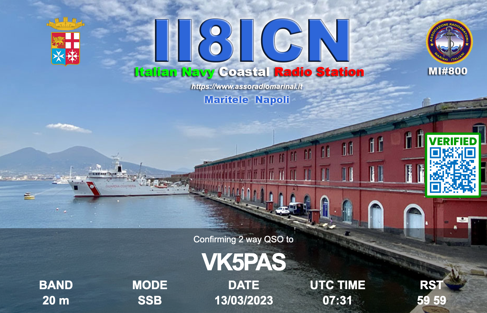
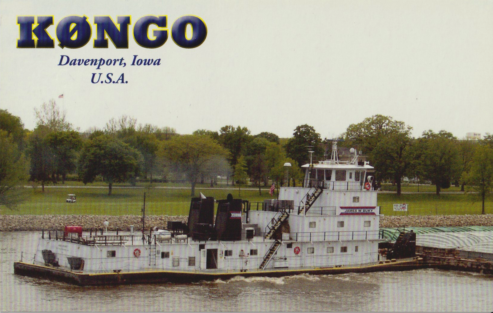
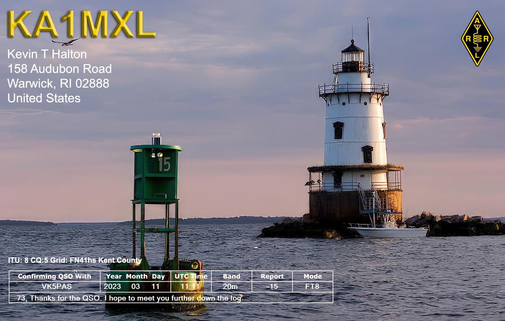
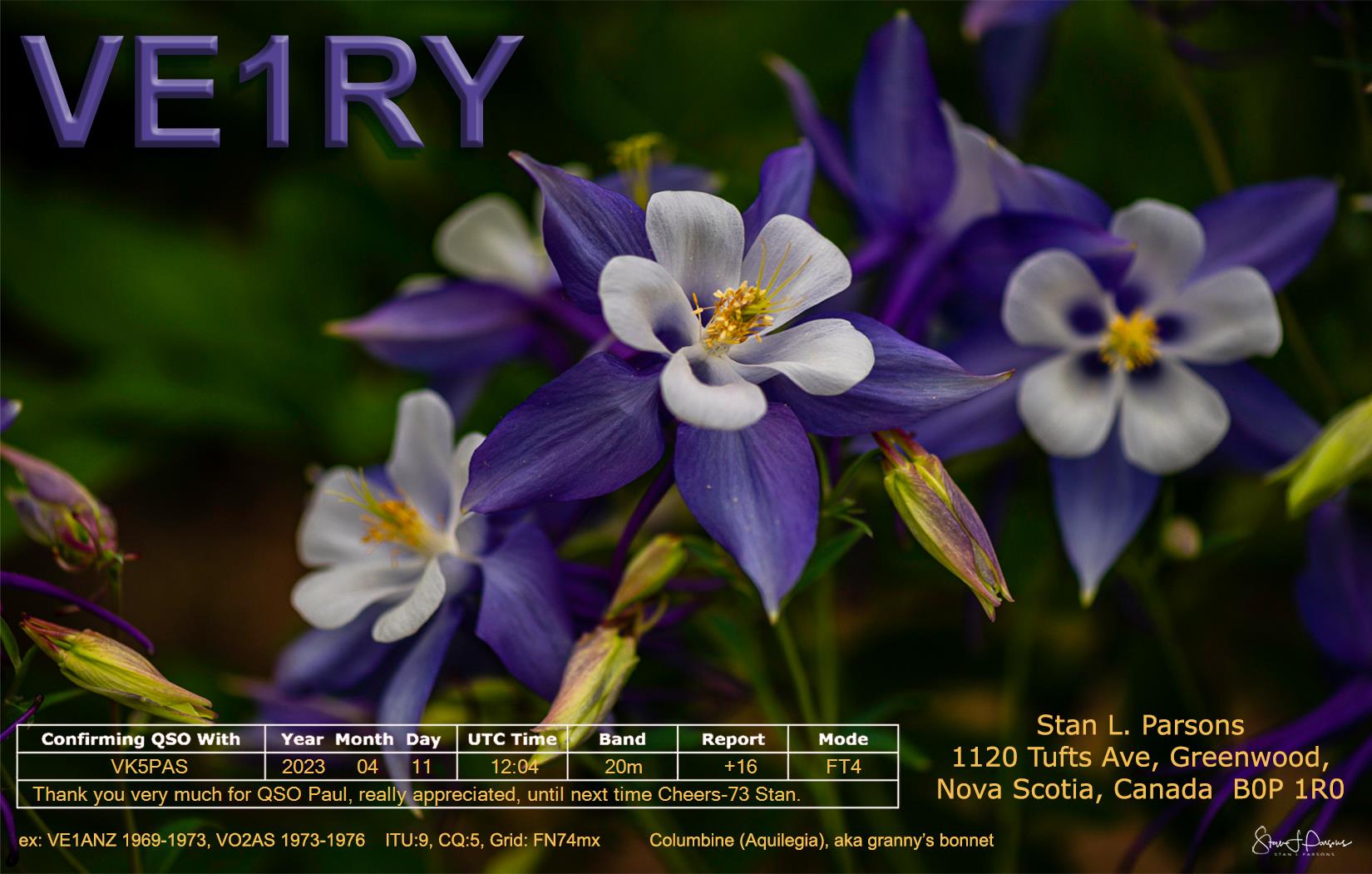
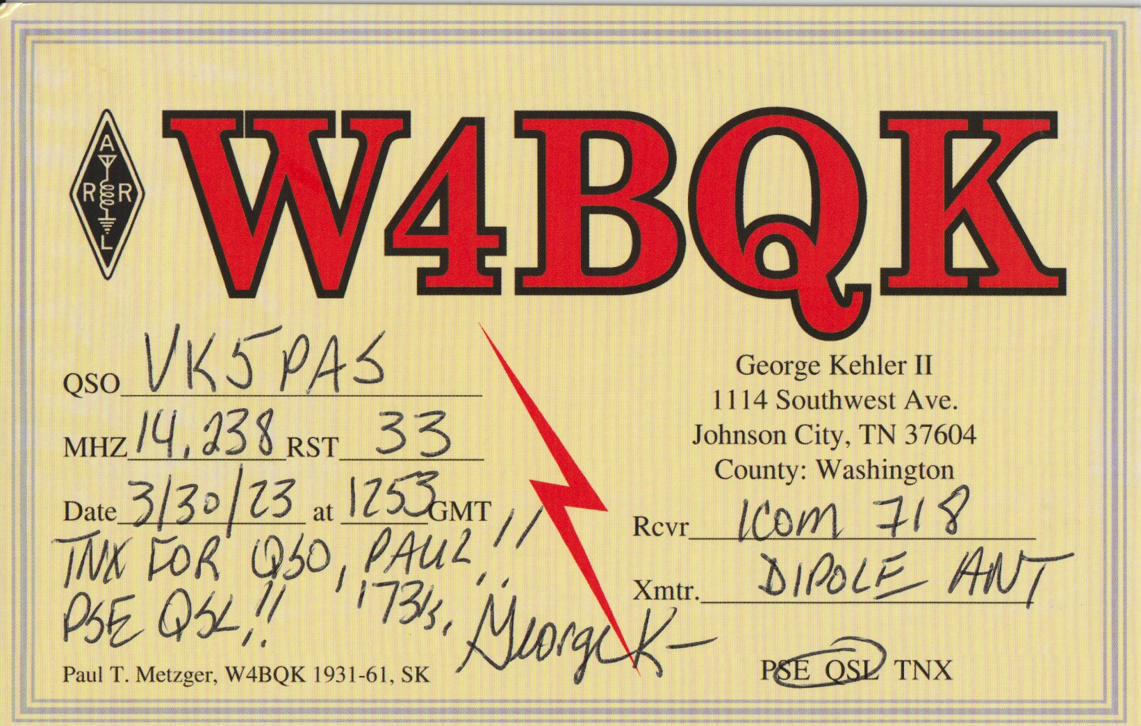
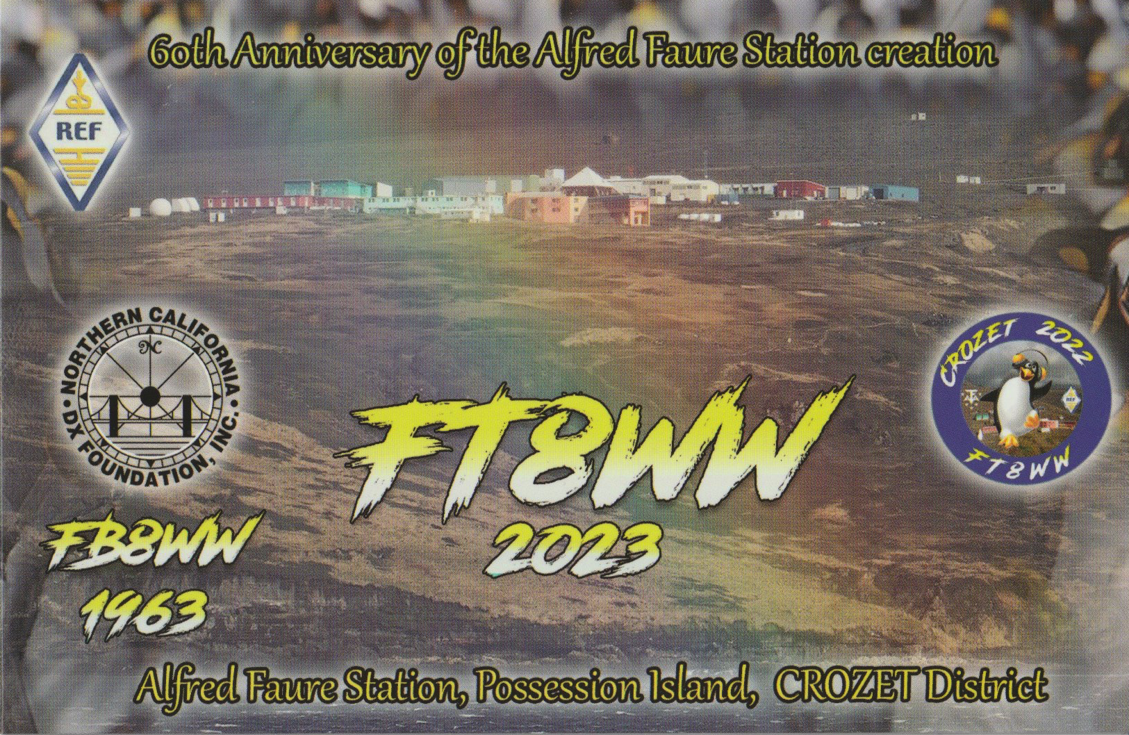
Here is a selection of QSL cards that have arrived in the mail over the past couple of weeks for VK5MAZ and VK5PAS.


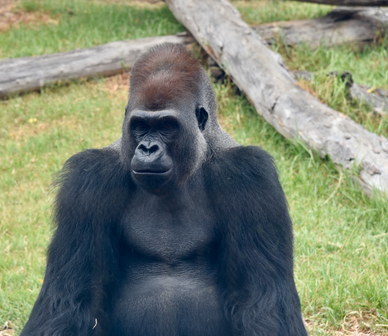
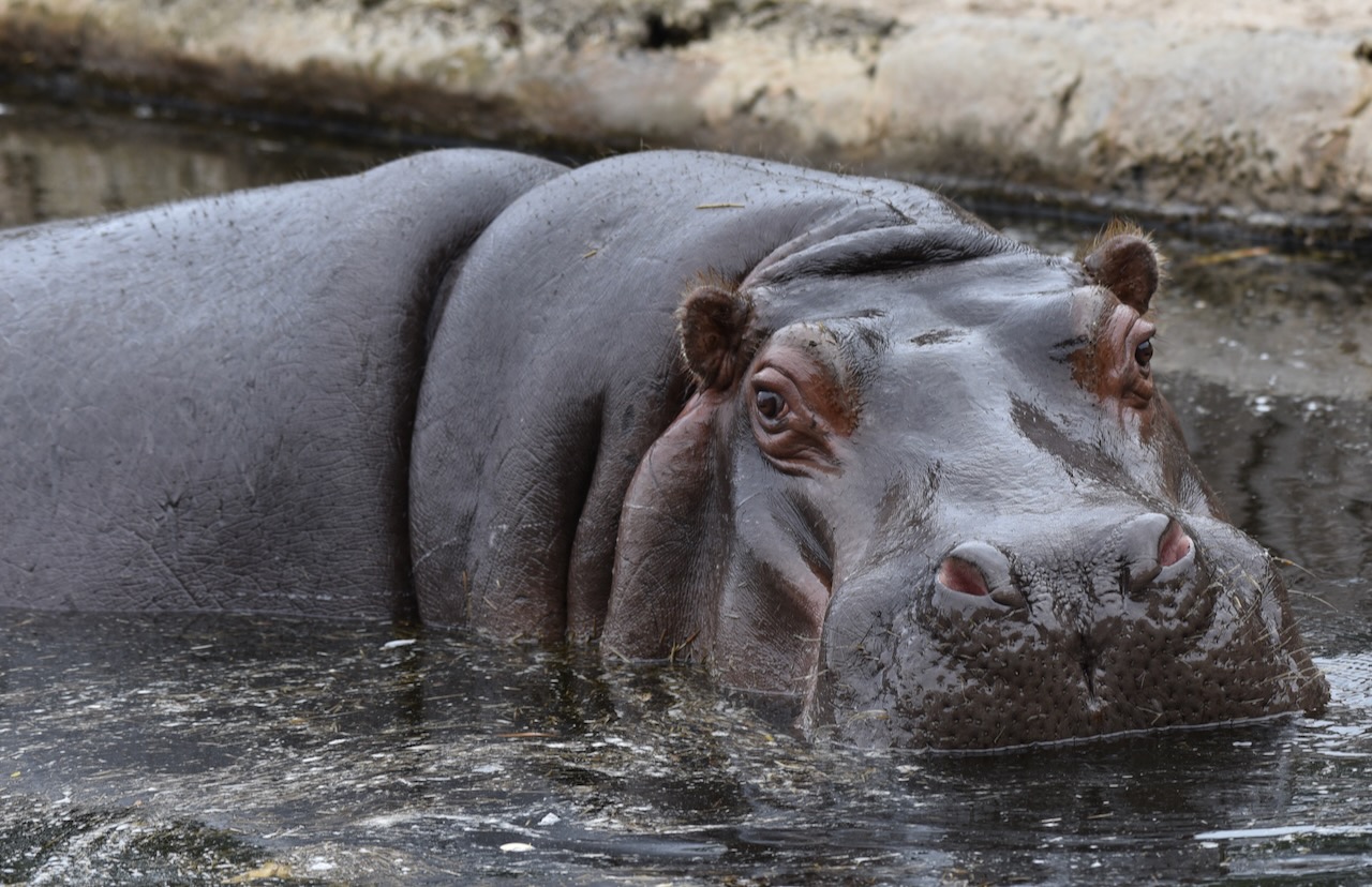
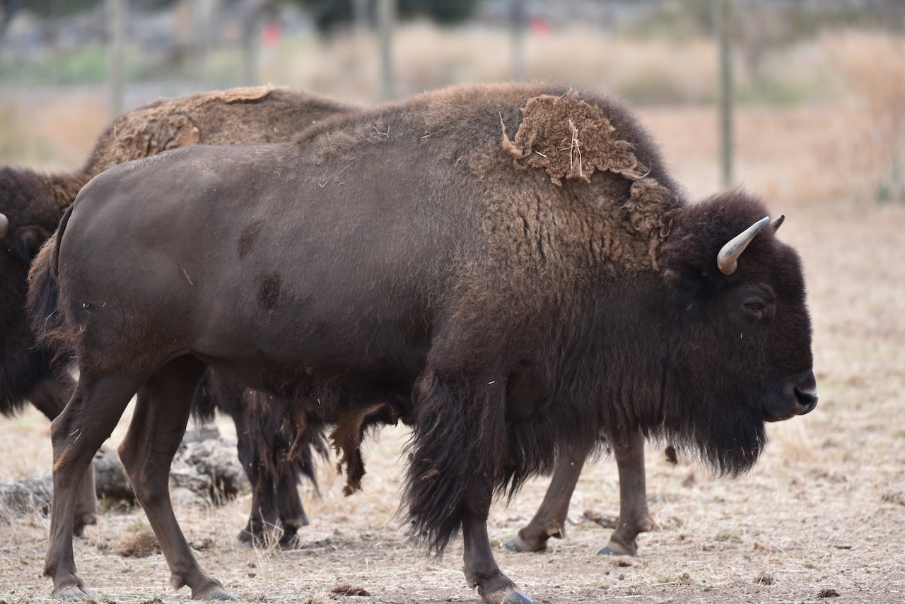
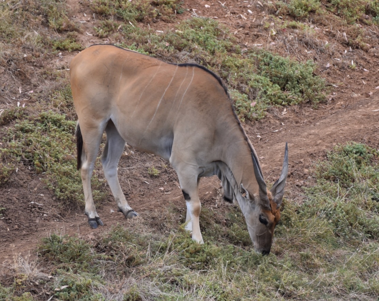
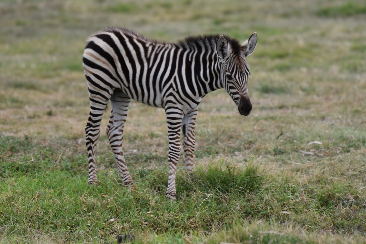
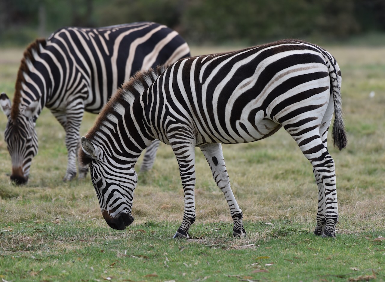
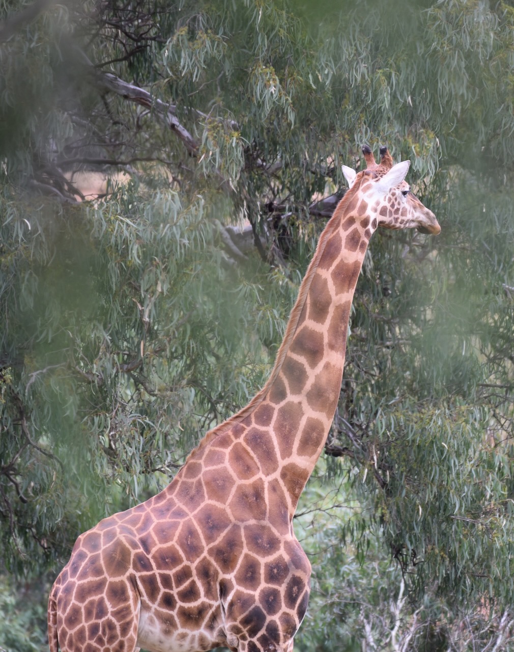
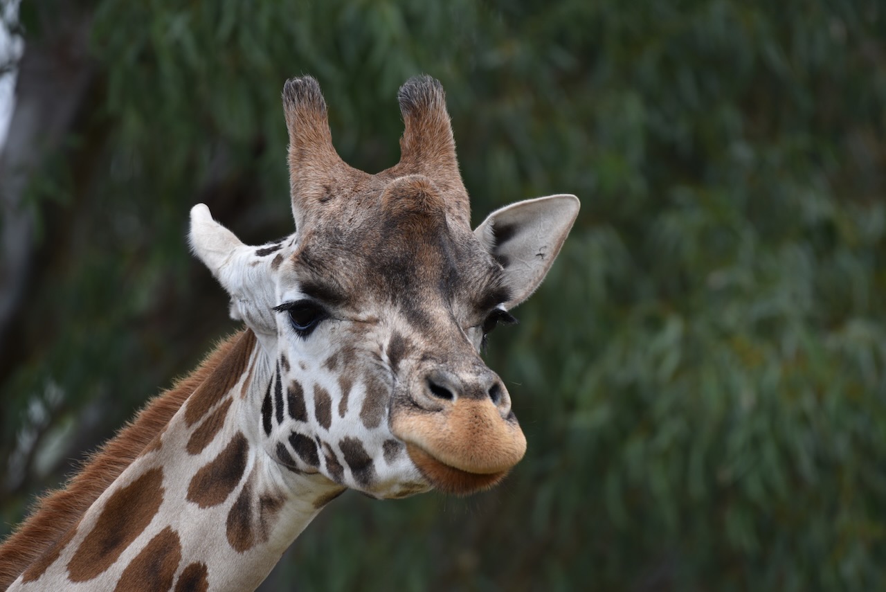
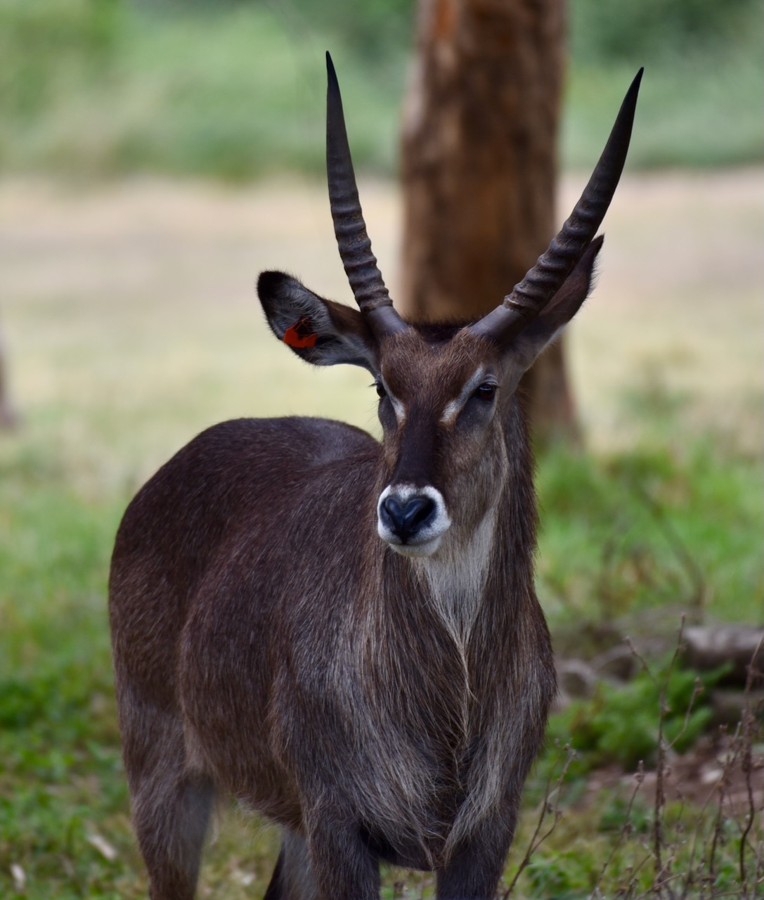
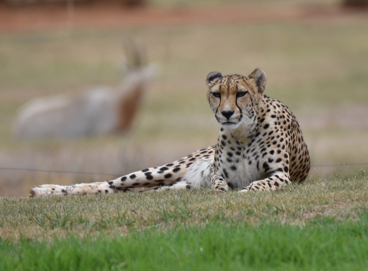
It was now Thursday 2nd March 2023, and we had another full day before attending the Avalon Air Show. After breakfast Marija and I drove out to the Werribee Open Range Zoo, located at Werribee, about 32 km southwest of Melbourne.


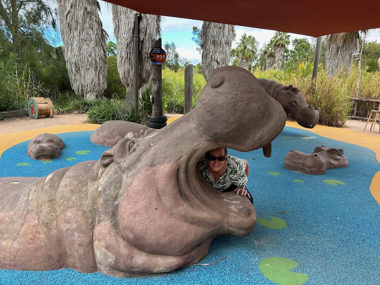
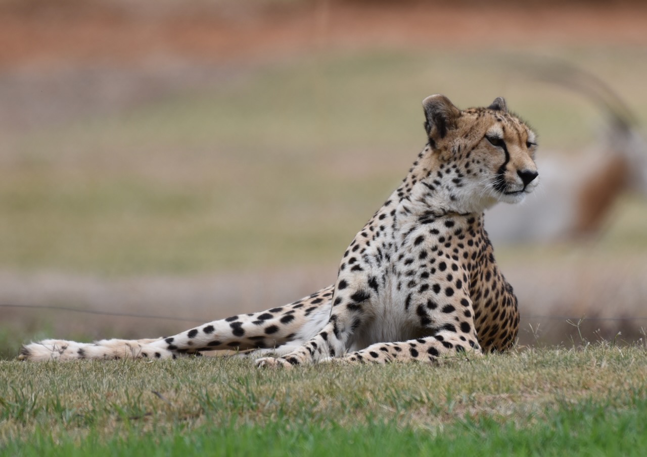
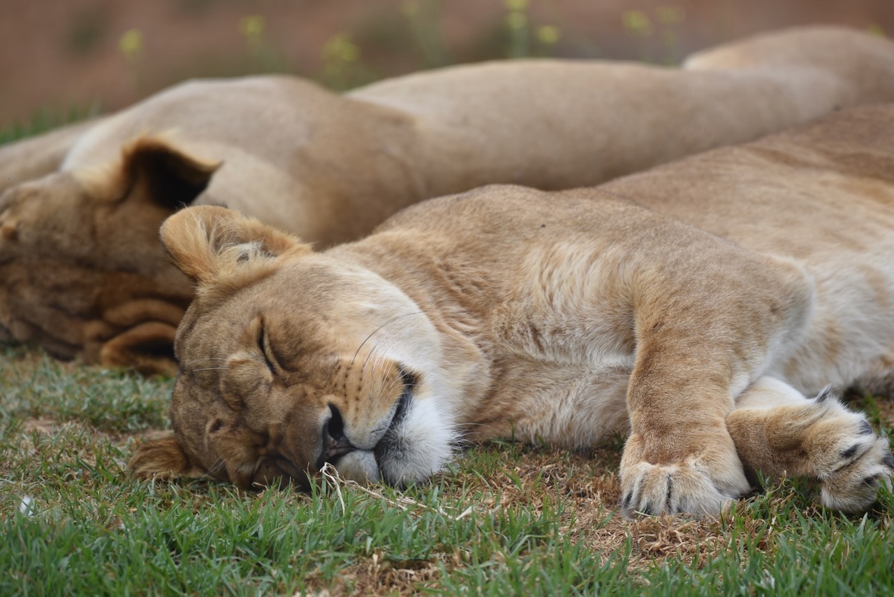
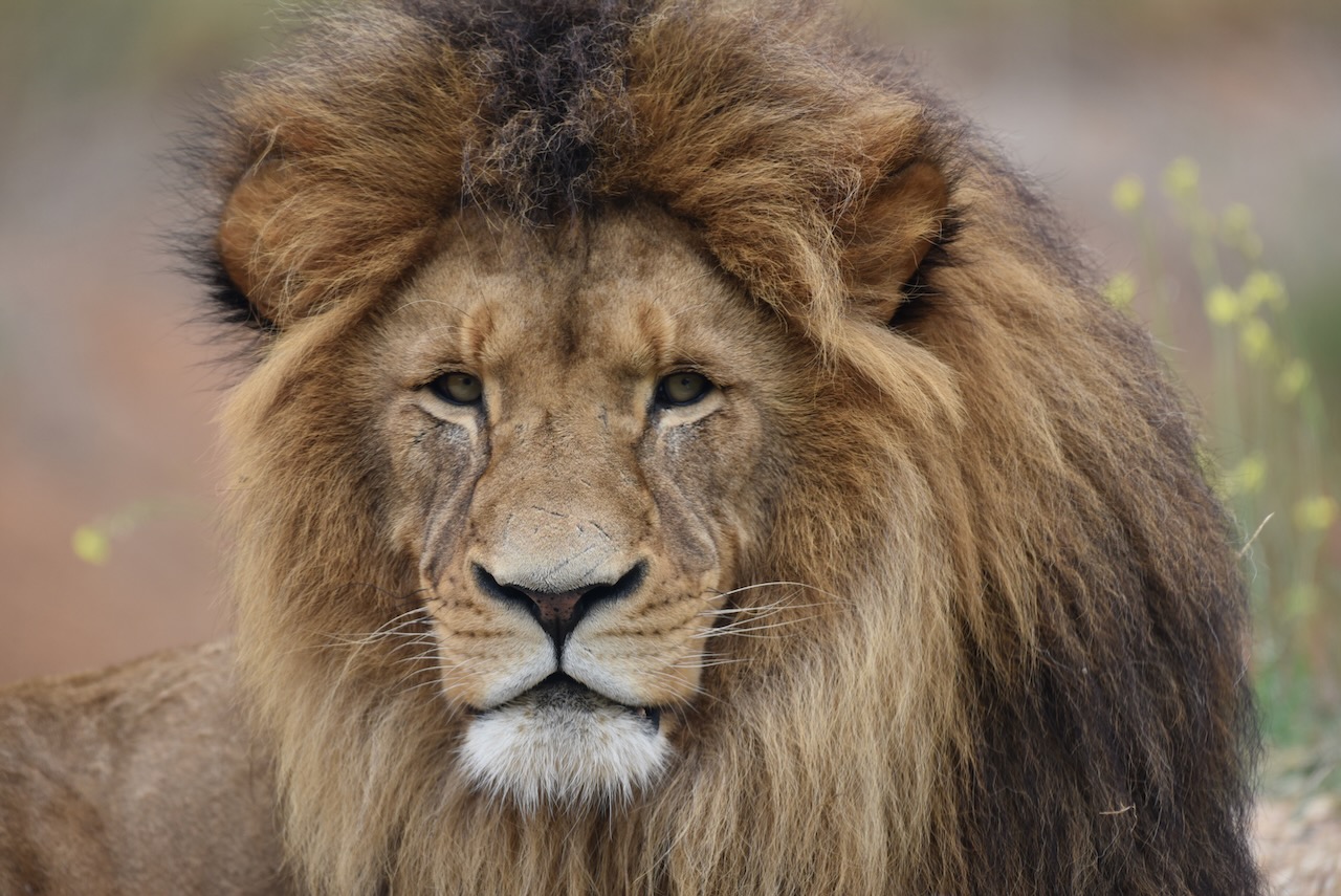
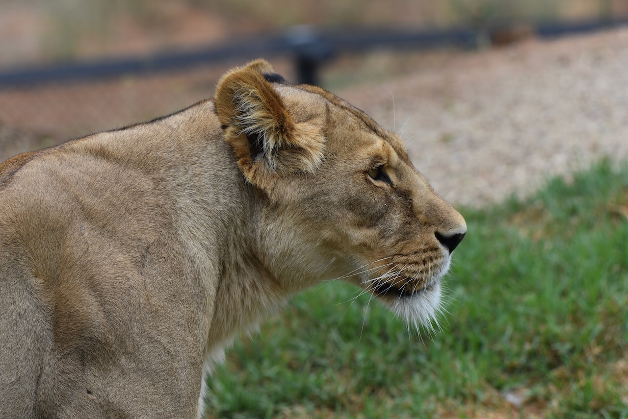
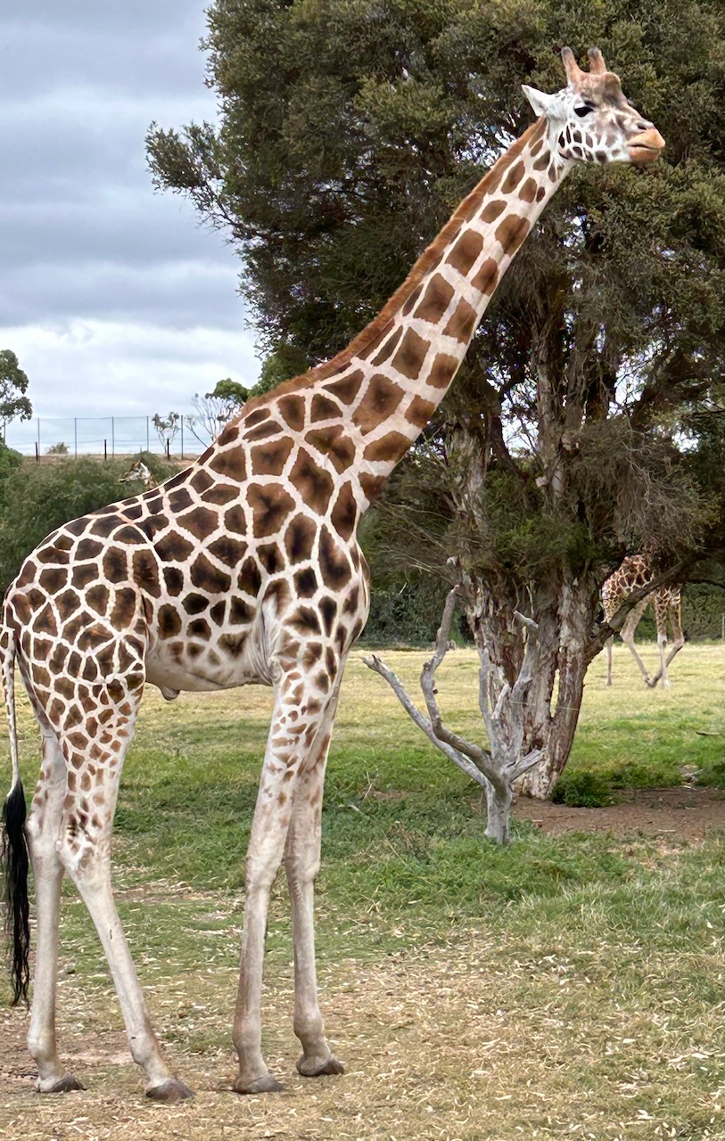
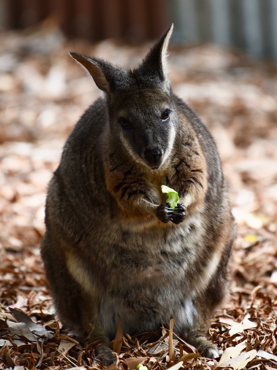
The zoo is home to a variety of animals including gorillas, Hippopotamus, Giraffe, American Bison, Przewalski Horse, Oryx, Blackbuck, Cheetah, and Lion.


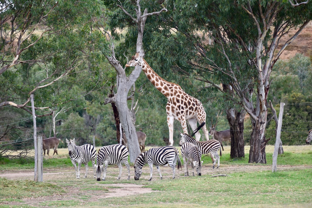


The zoo also has a number of Southern White Rhinoceros, which we were able to get up close and personal with during a Safari tour.


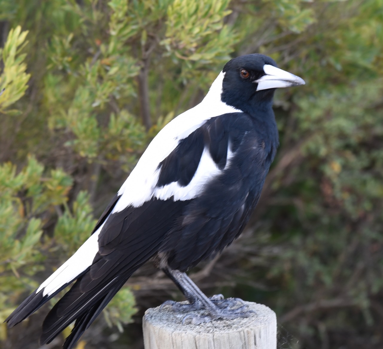
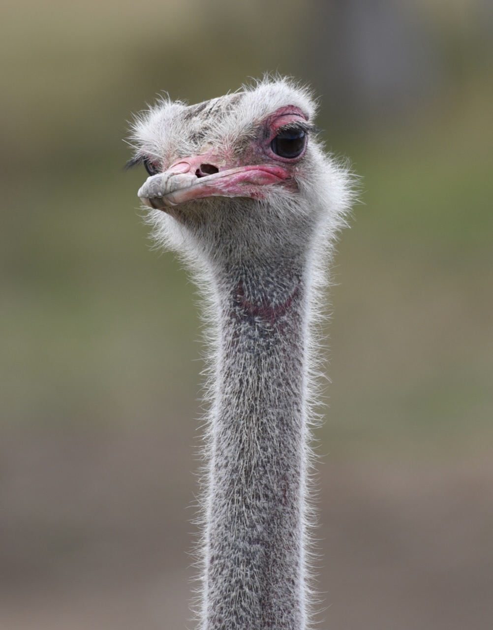
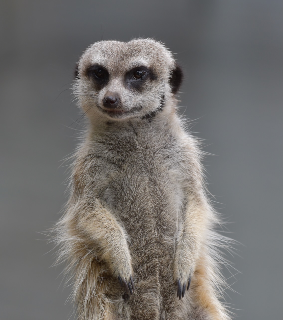
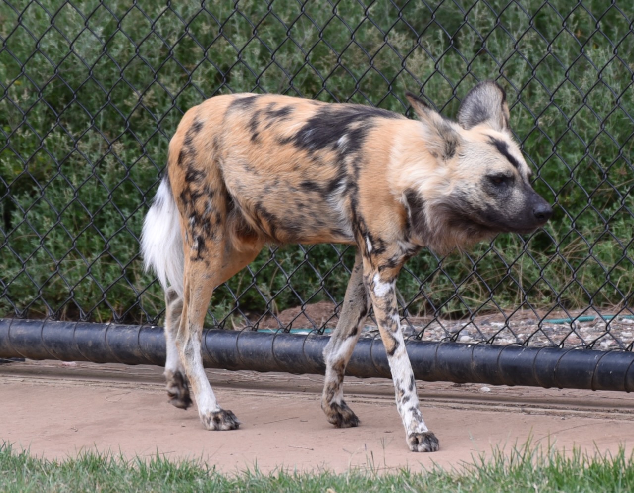
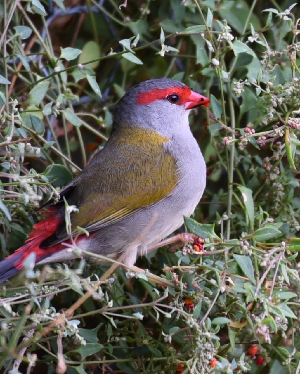
The park also has numerous native birds and animals.


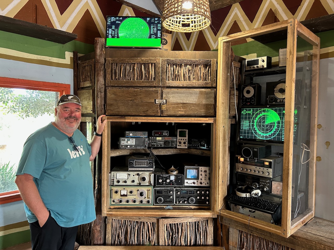
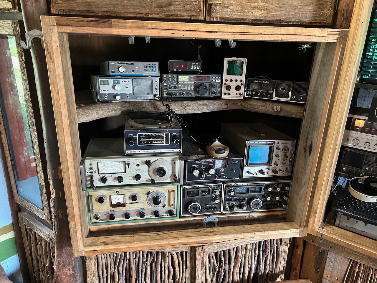
I even found a ‘radio room’ at the zoo which contained an Icon IC751, a Uniden 2020, and a Realistic receiver.

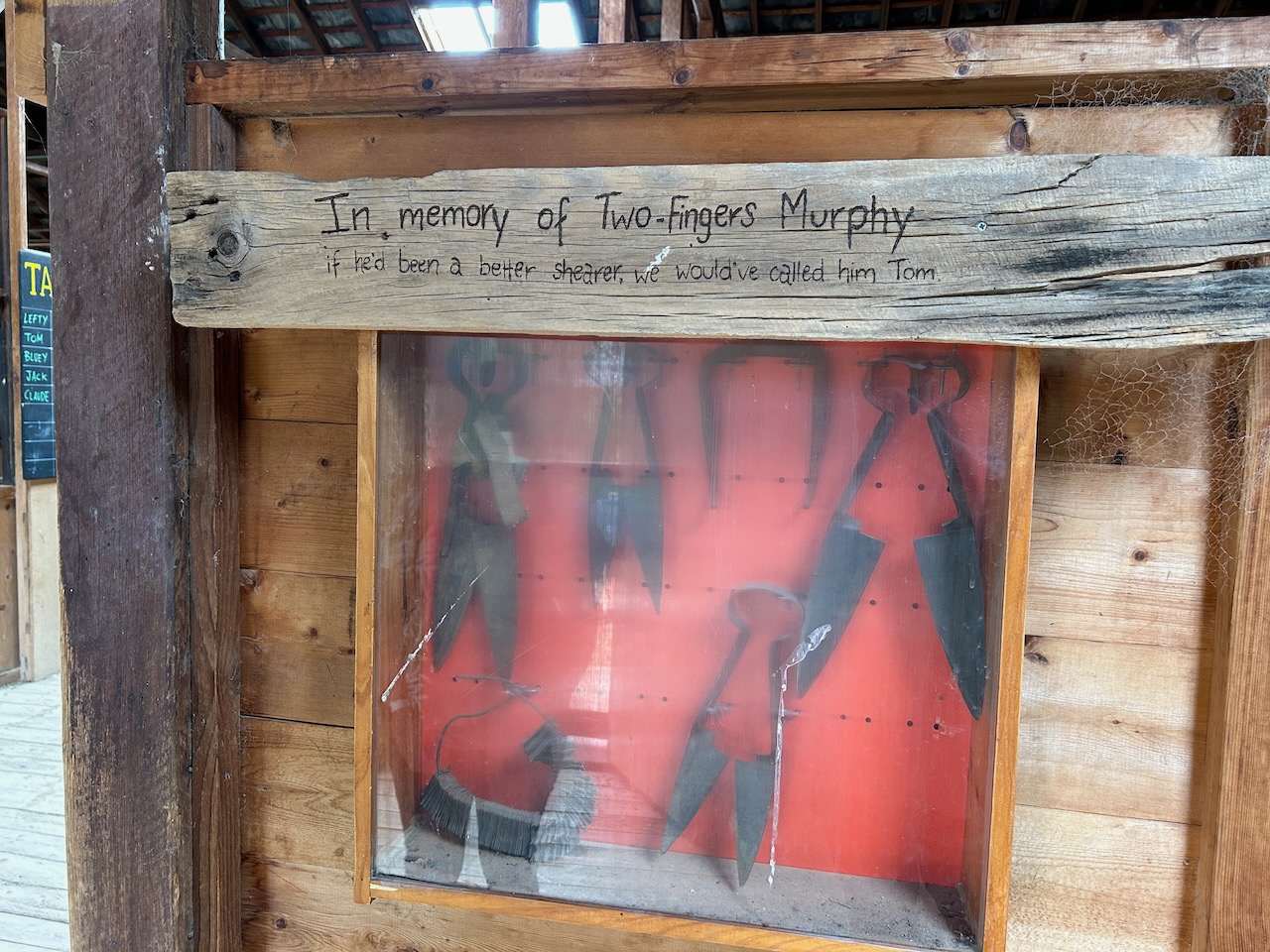
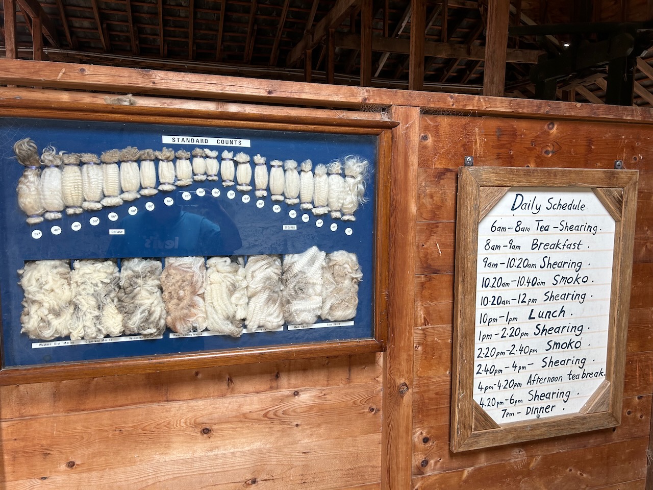
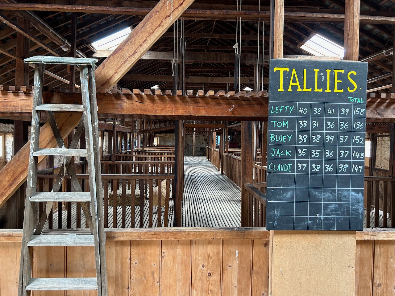
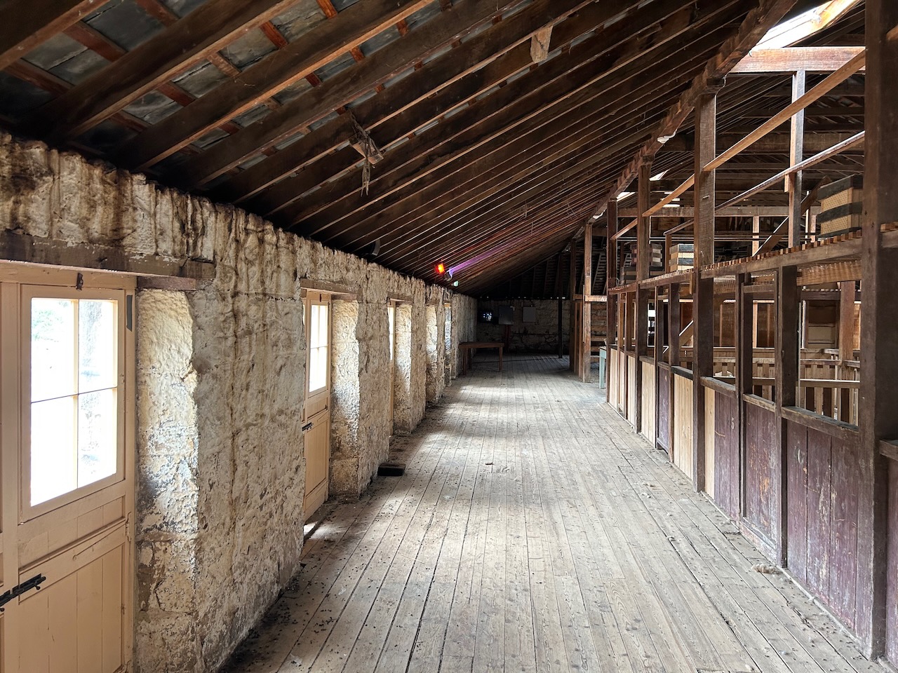
The zoo is also the home of the historic Chirnside Shearing Shed which was once part of the Chirnside pastoral property. The shearing shed was built in 1861.


One of the highlights of the Werribee Zoo was observing the Orange-bellied parrots. There are fewer than 50 of these in the wild and they are listed as critically endangered.


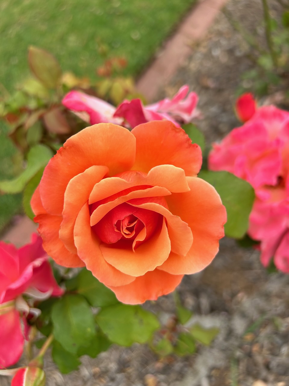
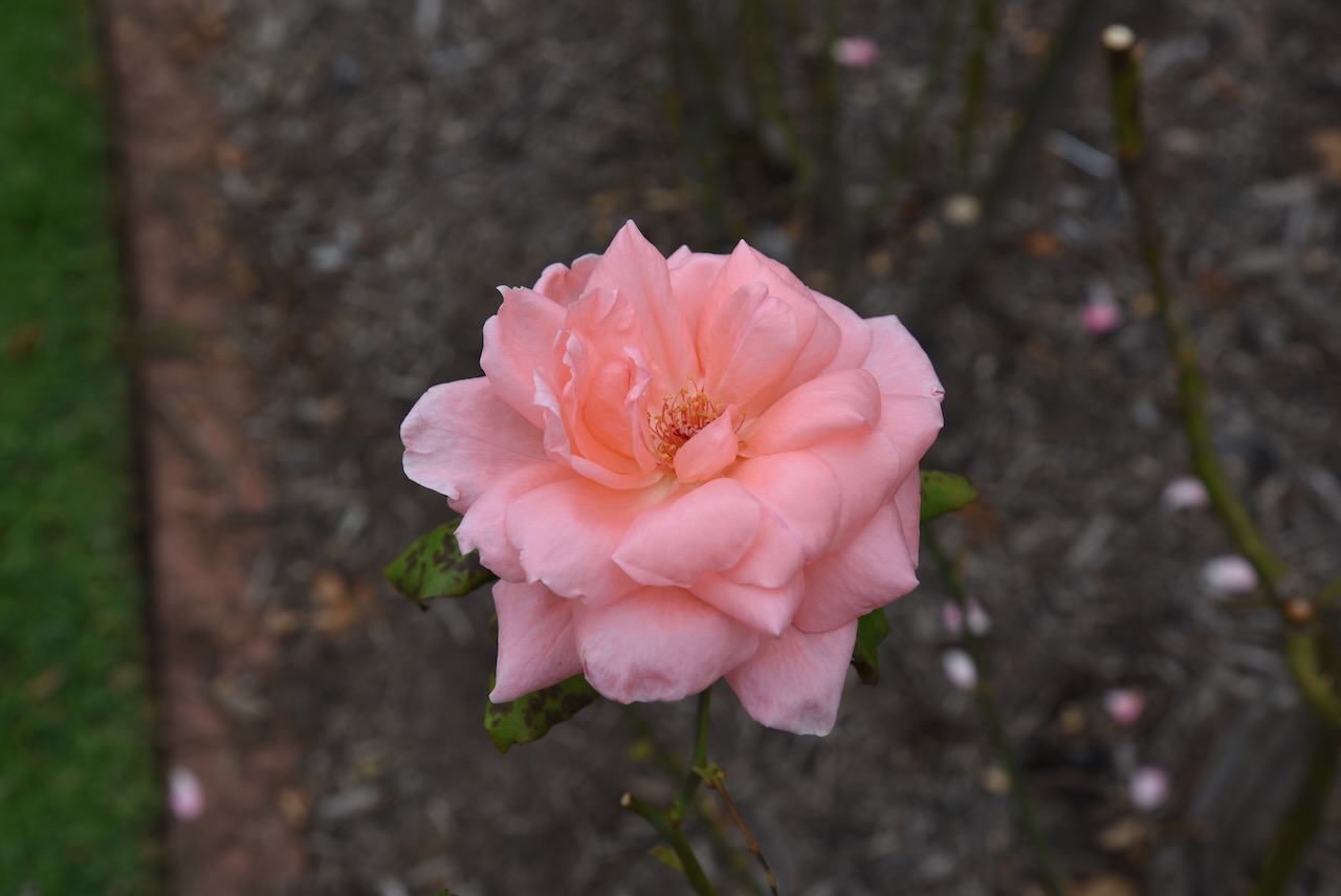
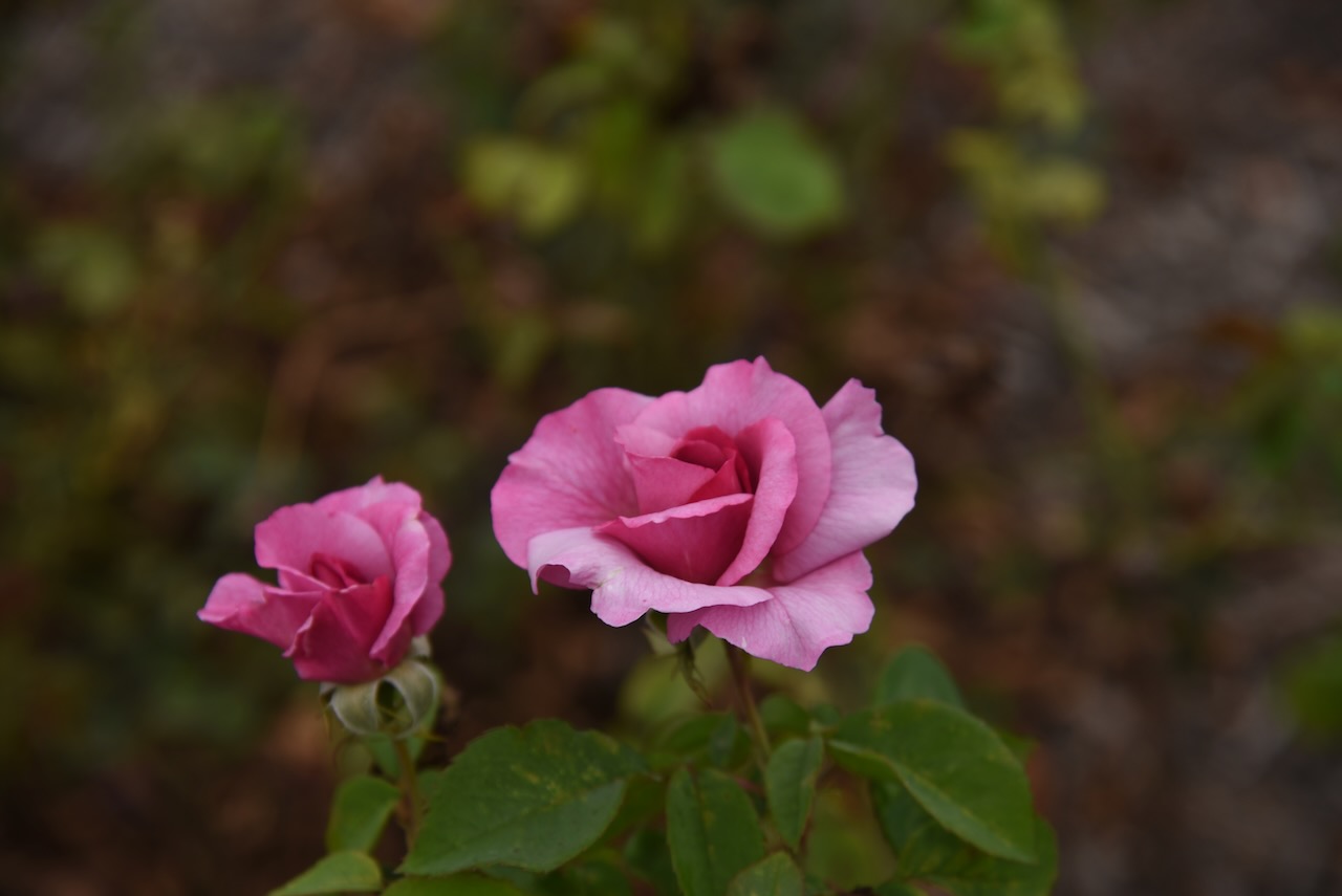
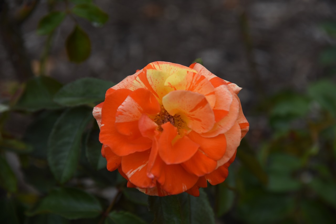
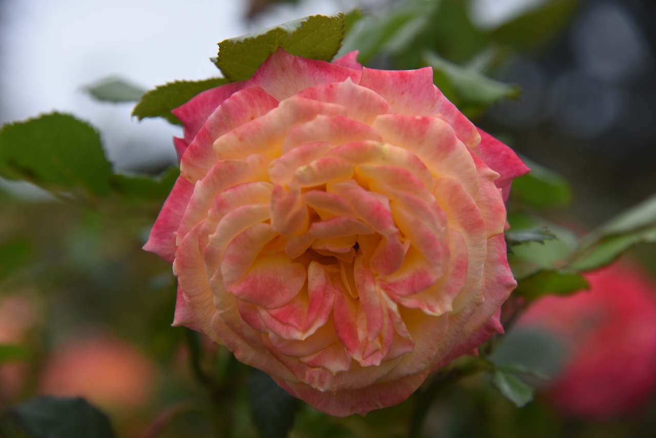
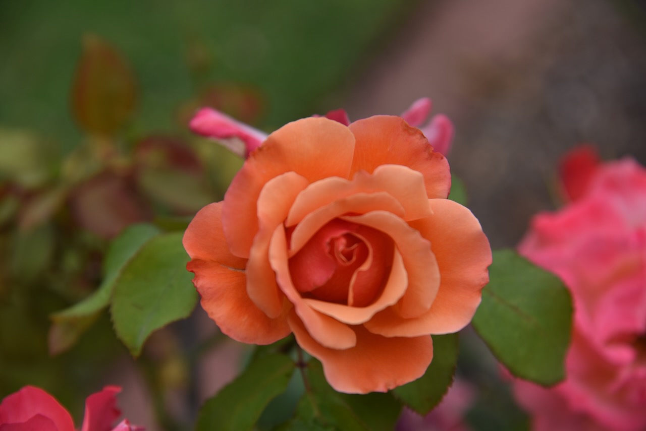
We then visited the Victoria State Rose Garden at Werribee. It contains over 5,000 roses, covering about 5 hectares. In 2003, the rose garden was awarded the International Garden of Excellence by the World Federation of Rose Societies. It was the first rose garden outside of Europe to receive this award.

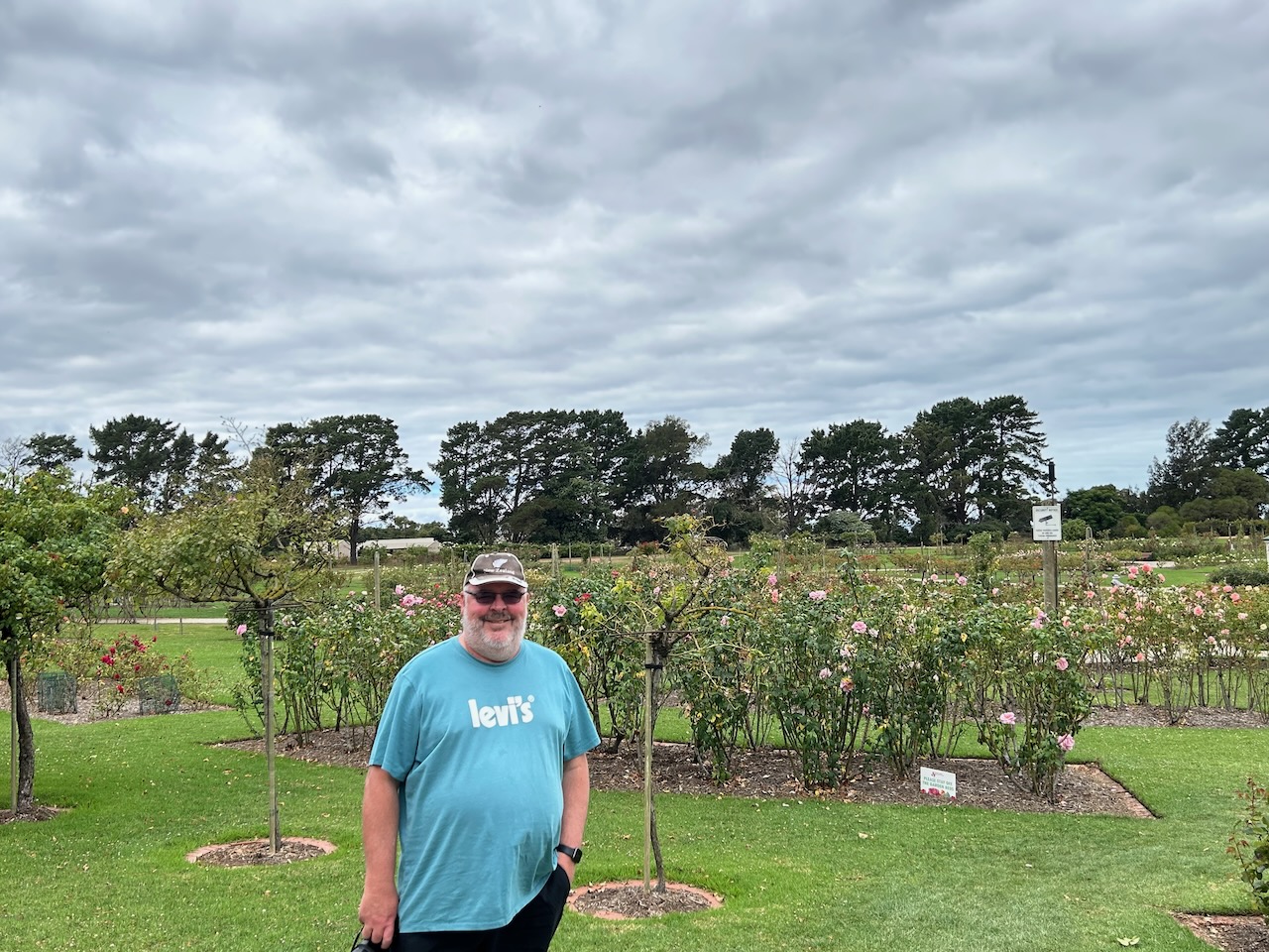


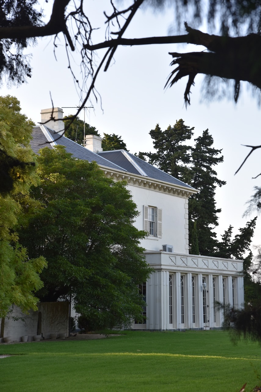
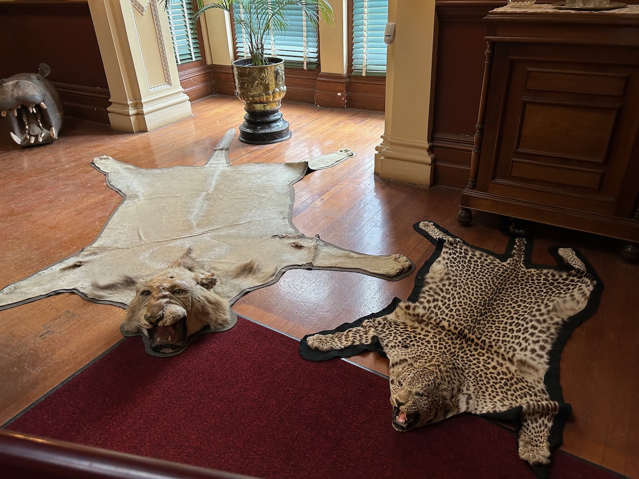
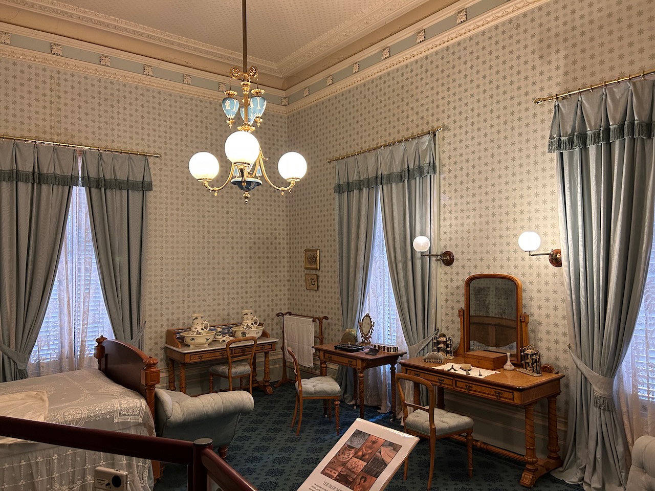
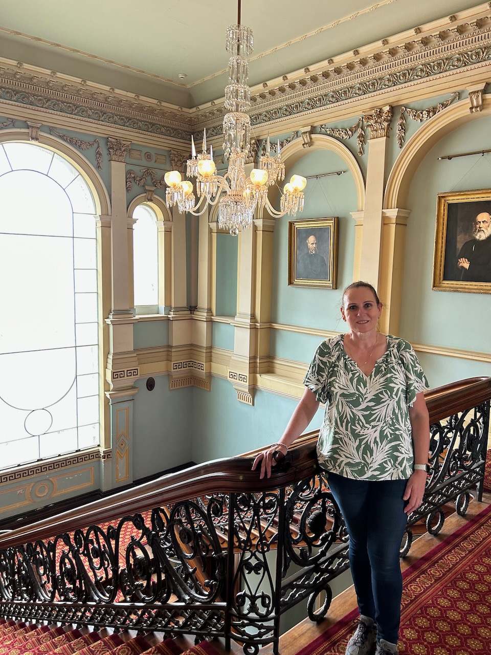
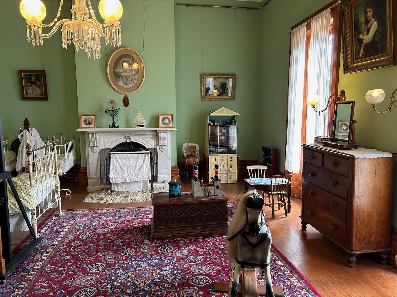
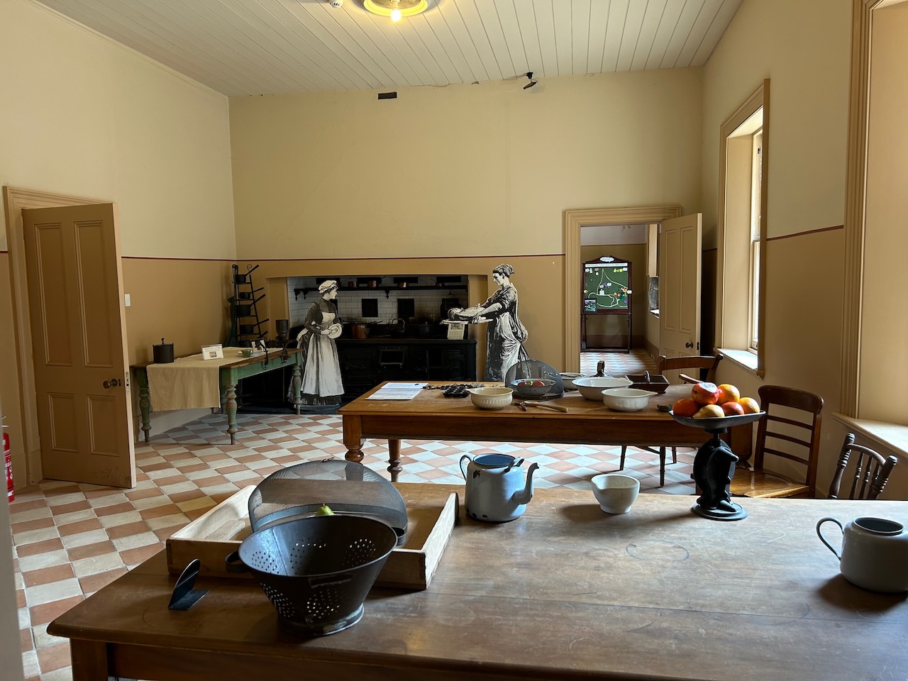
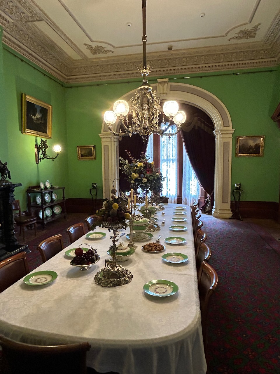
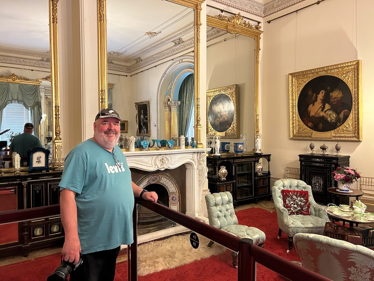
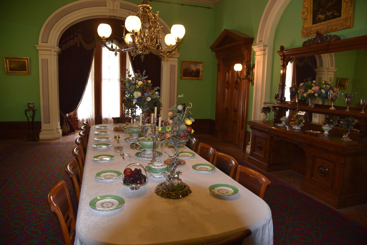
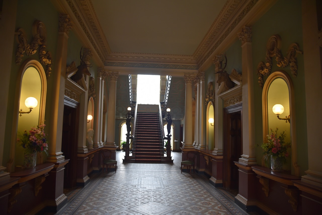
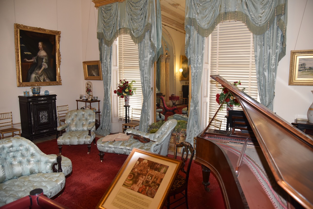
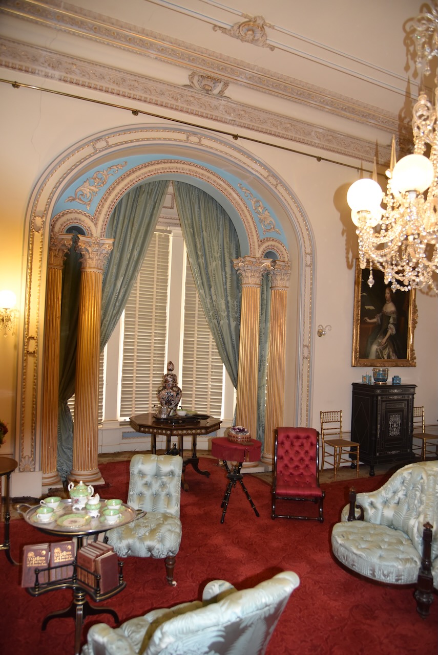
We then strolled over to the Werribee Park Mansion, a magnificent basalt and sandstone mansion which was completed in 1877 for the Chirnside family. They were originally from Scotland and made their fortune from would production across the Western District of Victoria.


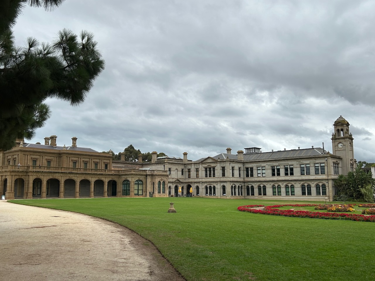
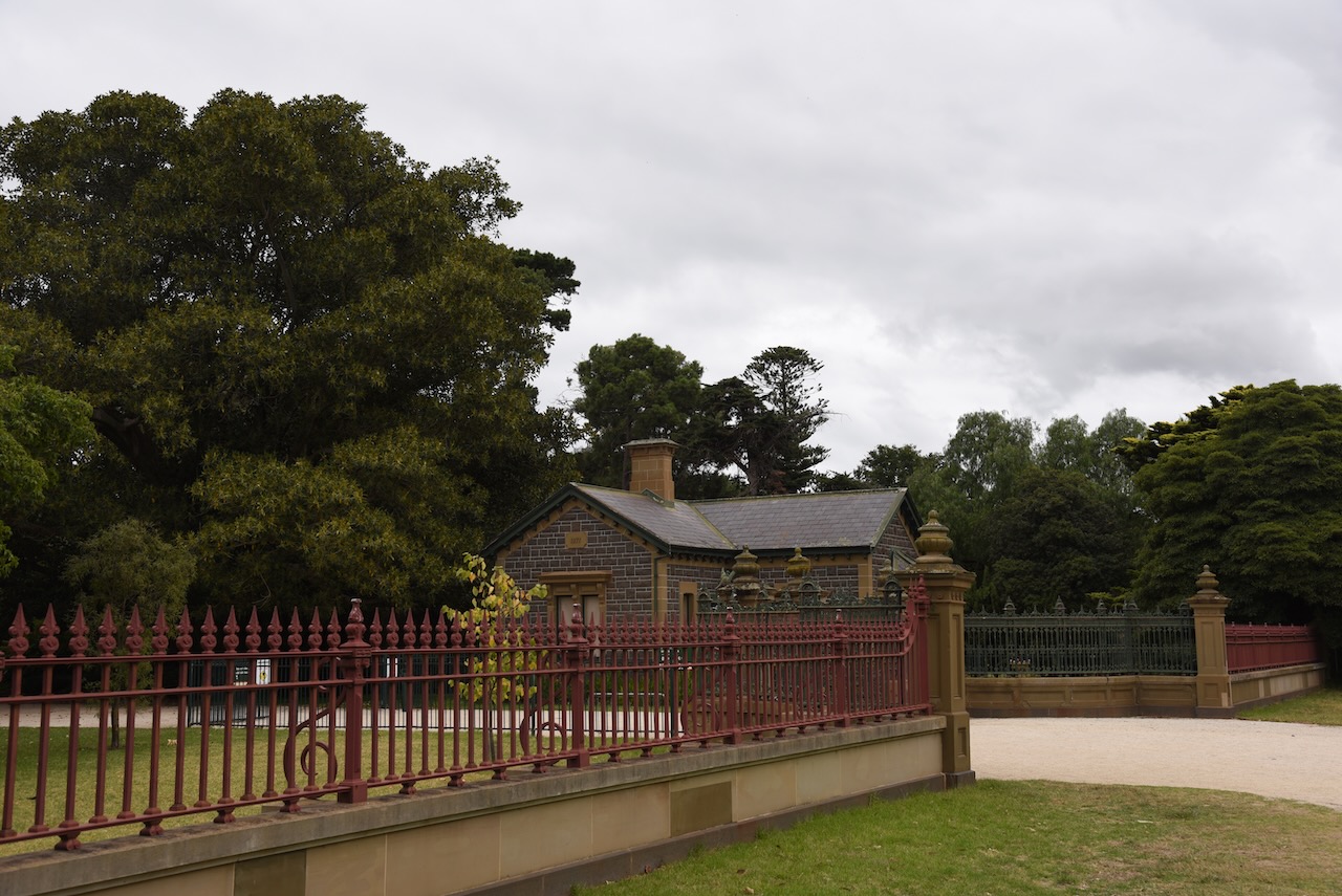


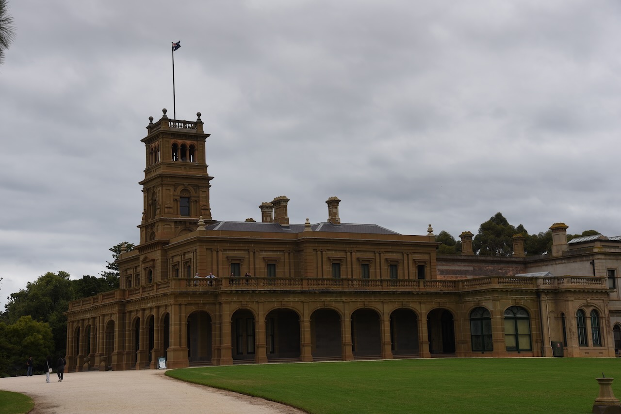

We spent quite some time at the mansion as there was a lot to see.


Marija and I then drove to The Spit Wildlife Reserve VKFF-2452, which is about 28 km northwest of Geelong, and about 53 km southwest of Melbourne.

Above:- Map showing the location of The Spit Wildlife Reserve. Map c/o Protected Planet.
The park is 300 hectares in size and is located on the northwestern shore of Port Phillip Bay.
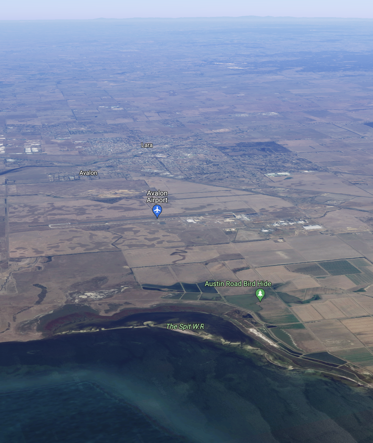
Above:- An aerial view of The Spit WR. Image c/o Google maps.
The Spit Wildlife Reserve is located in close proximity to the Avalon Airport, the venue for the Australian International Air Show. There was quite a variety of aircraft up in the air during our activation at the park.


What does Spit mean? A spit or sandspit is a deposition bar or beach landform off coasts or lake shores. It is a stretch of beach material that projects out to the sea. A spit thus has two ends. The end jutting out onto the water is called the distal end, and the one attached to land is called the proximal end.

Above:- A spit, contrasted with other landforms. Image c/o Wikipedia.
The Spit Wildlife Reserve contains sand spits, a lagoon, and an area of saltmarsh. The north and sout spits at the reserve are about 4 km in length and they vary in size and shape dependant upon the tide and onshore currents.
At high tide the lagoon’s depth reaches about one metre. At low tide a mudflat is exposed. This changing environment provides an important feeding ground for a variety of birds, particularly waders and waterbirds.


The critically endangered Orange-bellied parrot was once found in the park, but it is believed that due to a decline in the condition of the saltmarsh, numbers have declined and they are no longer observed.
Below is a video on this amazing bird which is bred at the Werribee zoo (see above – we actually saw these critically endangered birds. albeit in captivity).
The reserve is listed as a wetland of international importance under the Ramsar Convention as part of the Port Phillip Bay (Western Shoreline) and Bellarine Peninsula Ramsar Site. It is also subject to the China–Australia Migratory Bird Agreement, the Japan–Australia Migratory Bird Agreement, and the Bonn Convention. The reserve is part of the Werribee and Avalon Important Bird Area, which was identified by BirdLife International due to its importance for wetland and waterbirds as well as for orange-bellied parrots.

Access to the majority of this park is restricted by permits for birdwatchers. But we did find a small area where we were able to pull off the road and set up. We ran the Yaesu FT857 and the 20/40/80m linked dipole, and the Icom IC7000 & Codan 9350 antenna for this activation,

Above:- An aerial view showing our operating spot. Image c/o Google Earth.
Marija made the following contacts on 40m SSB:-
Marija made the following contacts on 20m SSB:-
I made the following contacts on 40m SSB:-
I made the following contacts on 20m SSB:-
I made the following QSO on 15m SSB:-
References.
We left the Swan Bay-Edwards Point Wildlife Reserve and headed to our final park activation for Wednesday 1st March 2023, the Port Phillip Heads Marine National Park VKFF-0954.

Above:- Map showing the location of the Port Phillip Heads Marine Park. Map c/o Protected Planet.
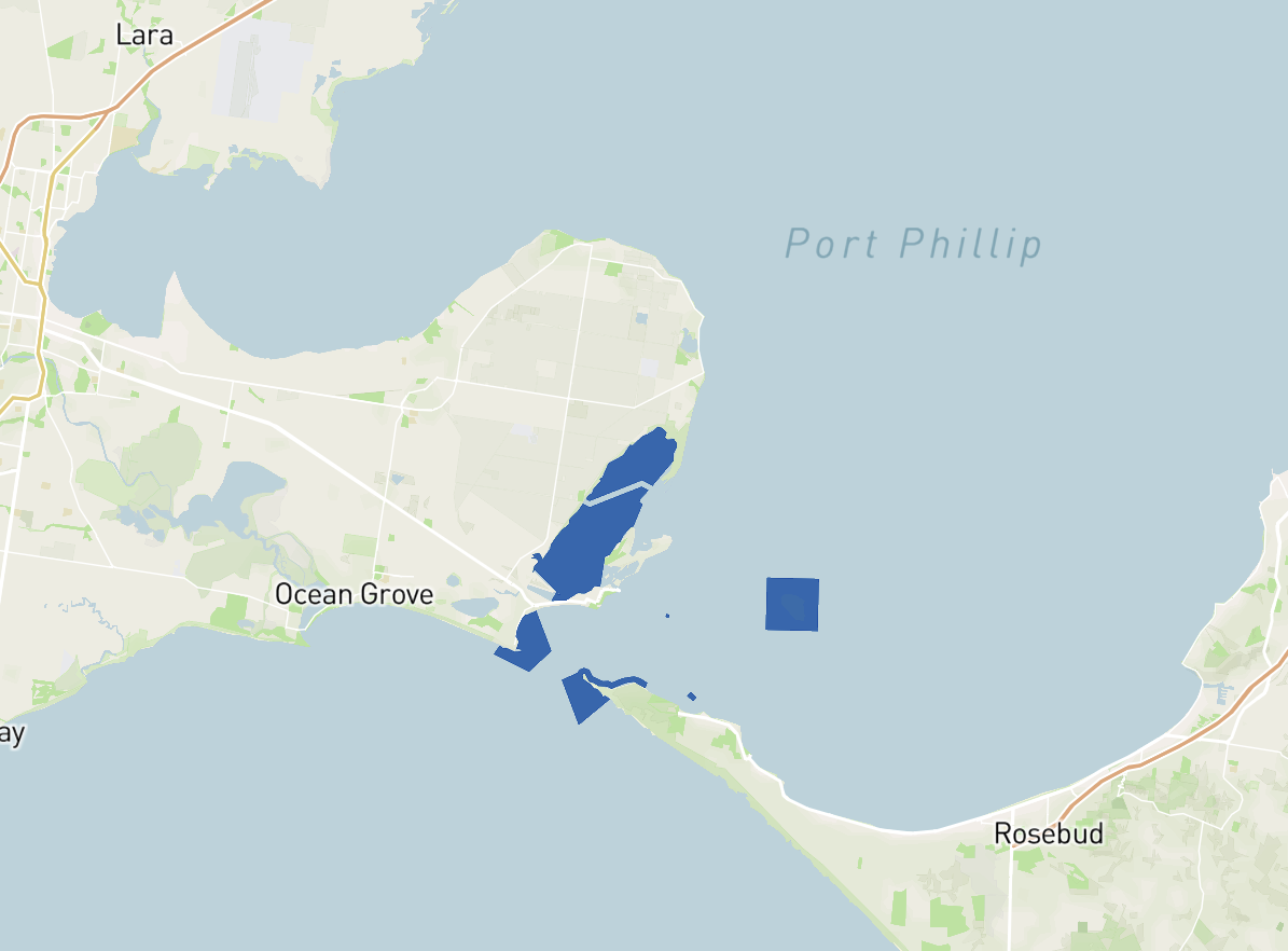
Port Phillip Heads Marine National Park protects a diverse marine environment comprising Swan Bay, Mud
Islands, Popes Eye, Point Lonsdale, Point Nepean and Portsea Hole.
Above:- Map showing the Port Phillip Heads Marine Park. Map c/o Protected Planet.
The park is 3,580 hectares (8,800 acres) in size and consists of six separate marine areas at the southern end of Port Phillip Bay. The park stretches along 40km of coastline.
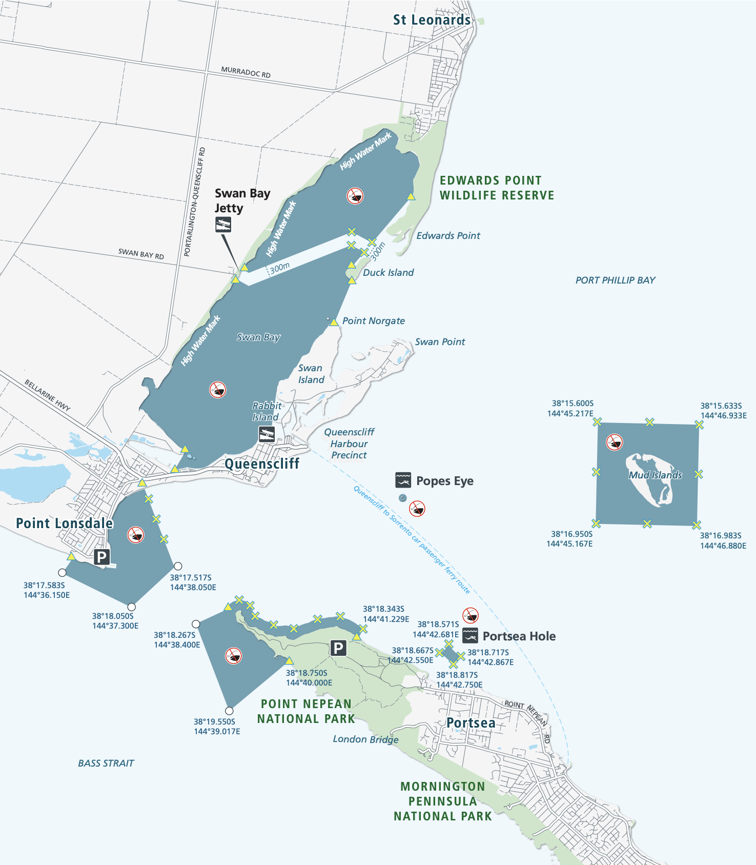
Above:- Map showing the six separate marine areas of the park. Map c/o Parks Victoria.
The Port Phillip Heads Marine National Park was created on the 16th day of November 2002. Part of the park includes Popes Eye, which was Victoria’s first marine protected area known as the Harold Holt Marine Reserve. It was named after former Australian Prime Minister Harold Edward Holt (b. 1908. d. 1967), who drowned near Port Nepean. His body was never located.

Above:- Harold Holt. Image c/o Wikipedia.
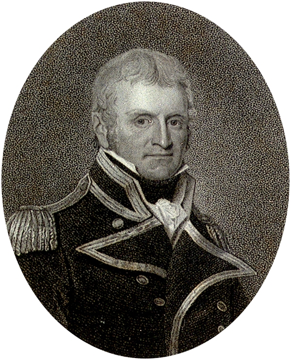
Port Phillip Bay was originally known as Narm -Narm by the Kulin aboriginal people. The first Europeans to discover and enter Port Phillip were the crew of the Lady Nelson under the command of John Murray (b. 1775. d. 1807), in February 1802. Murray named the Bay Port King, in honour of the Governor of New South Wales, Philip Gidley King.

Above:- John Murray. Image c/o Wikipedia.
On the 4th day of September 1805, King formally names the bay Port Phillip, in honour of his predecessor Arthur Phillip.

Above:- Arthur Phillip. Image c/o Wikipedia.
Marija and I drove down to the jetty at Swan Bay.


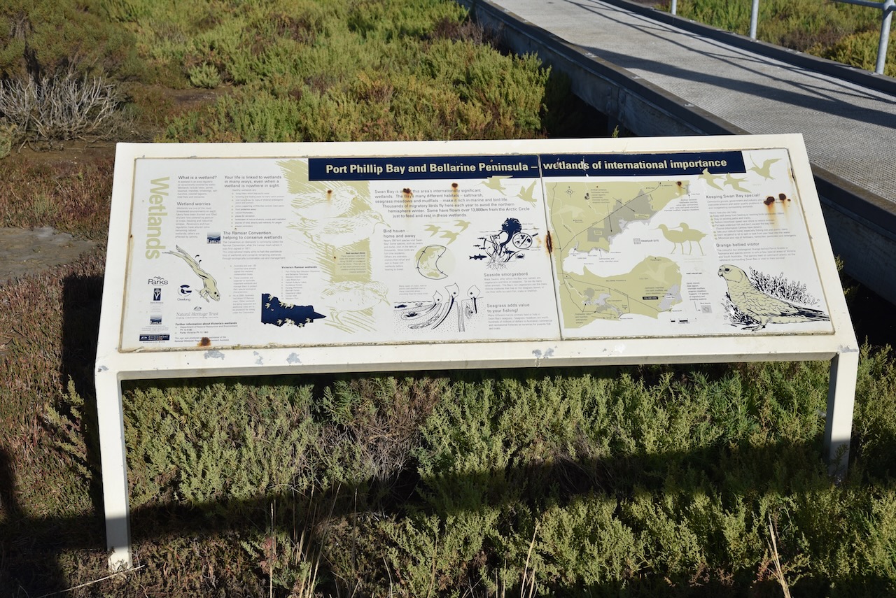


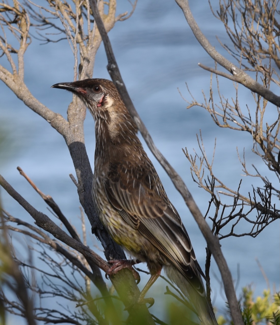
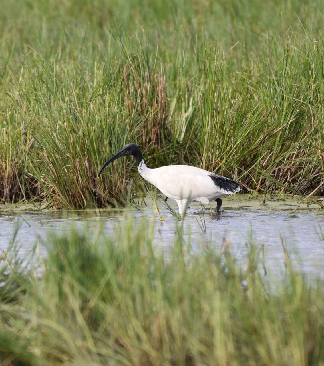
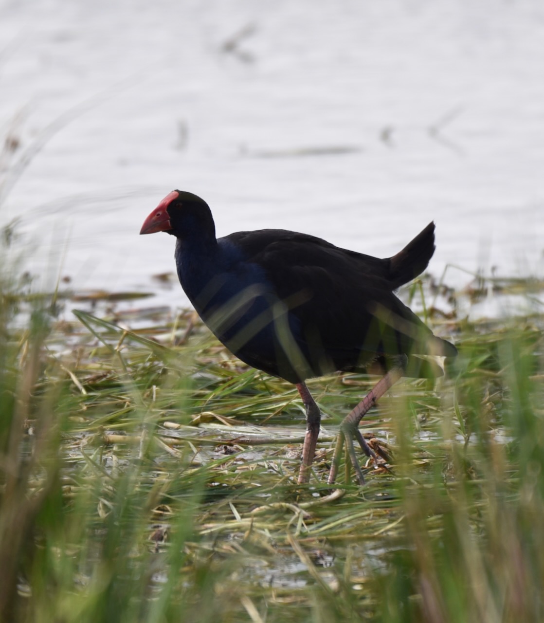
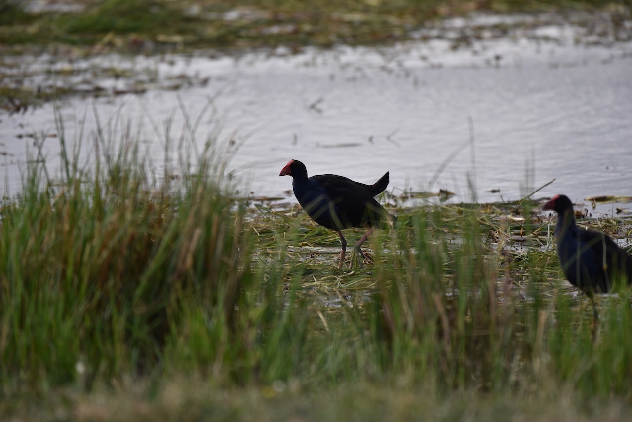
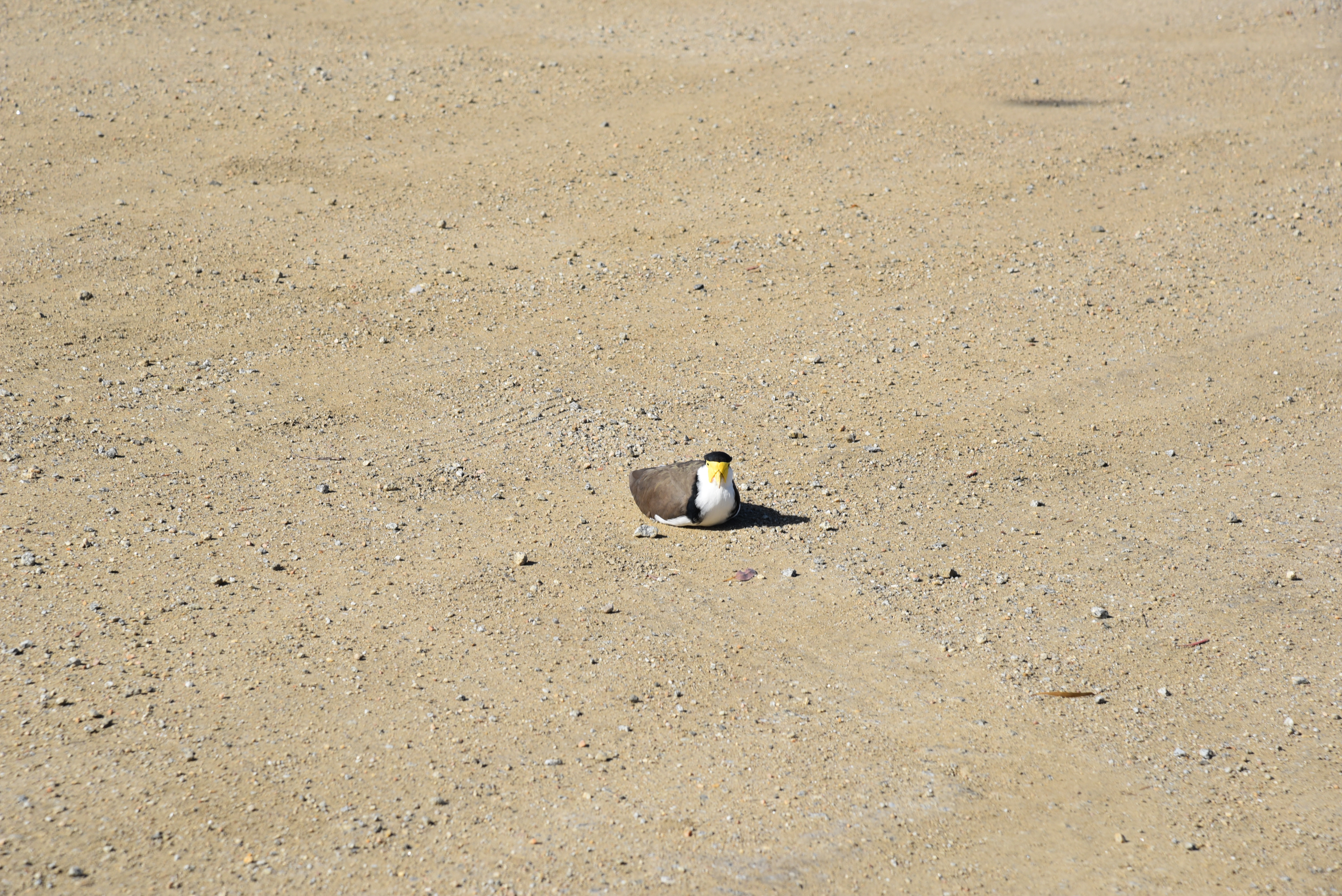
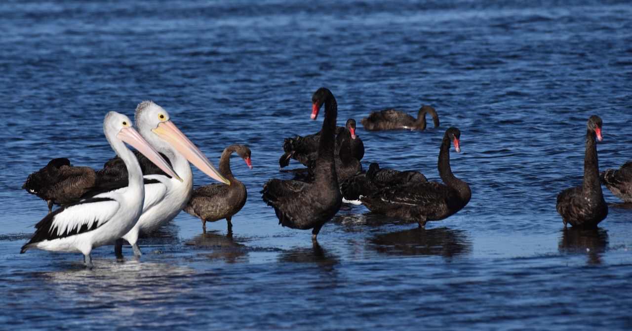
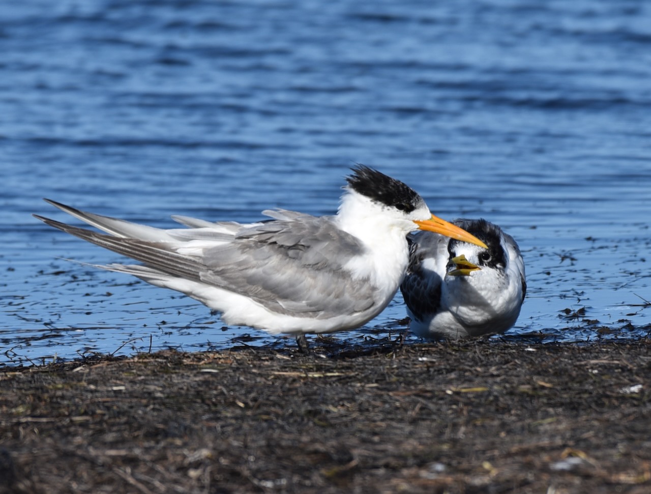
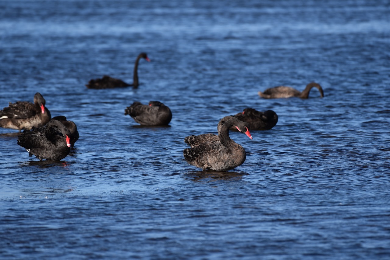
Thousands of migratory wading birds travel to Swan Bay each summer from breeding grounds in Central Asia, Siberia, and Alaska. At low tide, these birds hunt for food on exposed mudflats. At high tide, the waders roost along the shore. We were fortunate to observe an abundance of birdlife.


Marija worked the following stations on 40m SSB:-
I worked the following stations on 40m SSB:-
I worked the following stations on 20m SSB:-
After packing up at the park, Marija and I drove to Queenscliffe, a beautiful little town on the Bellarine Peninsula. Prior to European settlement, the area was home to the Bengalat Bulag clan of the Wautharong tribe, members of the Kulin nation. In 1836 European squatters commenced arriving in the area which was named Shortland’s Bluff in honour of Lieutenant John Shortland (b. 1769. d. 1810), who assisted in the surveying of Port Phillip.
Above:- John Shortland. Image c/o Wikipedia.
In 1853, land sales commenced in the area, and in the same year, the name was changed by Lieutenant Charles La Trobe from Shortland’s Bluff to Queenscliff in honour of Queen Victoria.

Above:- Queen Victoria. Image c/o Wikipedia.
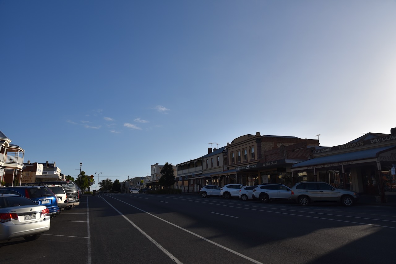
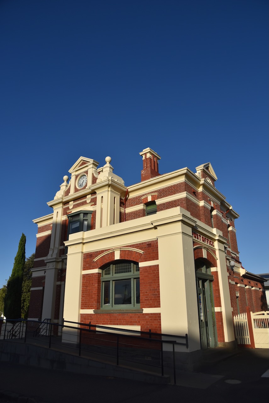
We drove around Queenscliffe admiring the magnificent architecture dating back to the 1800s.


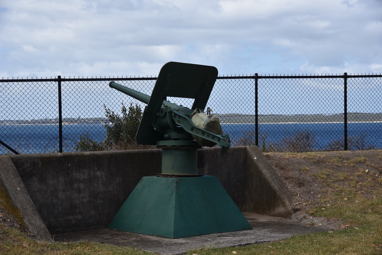
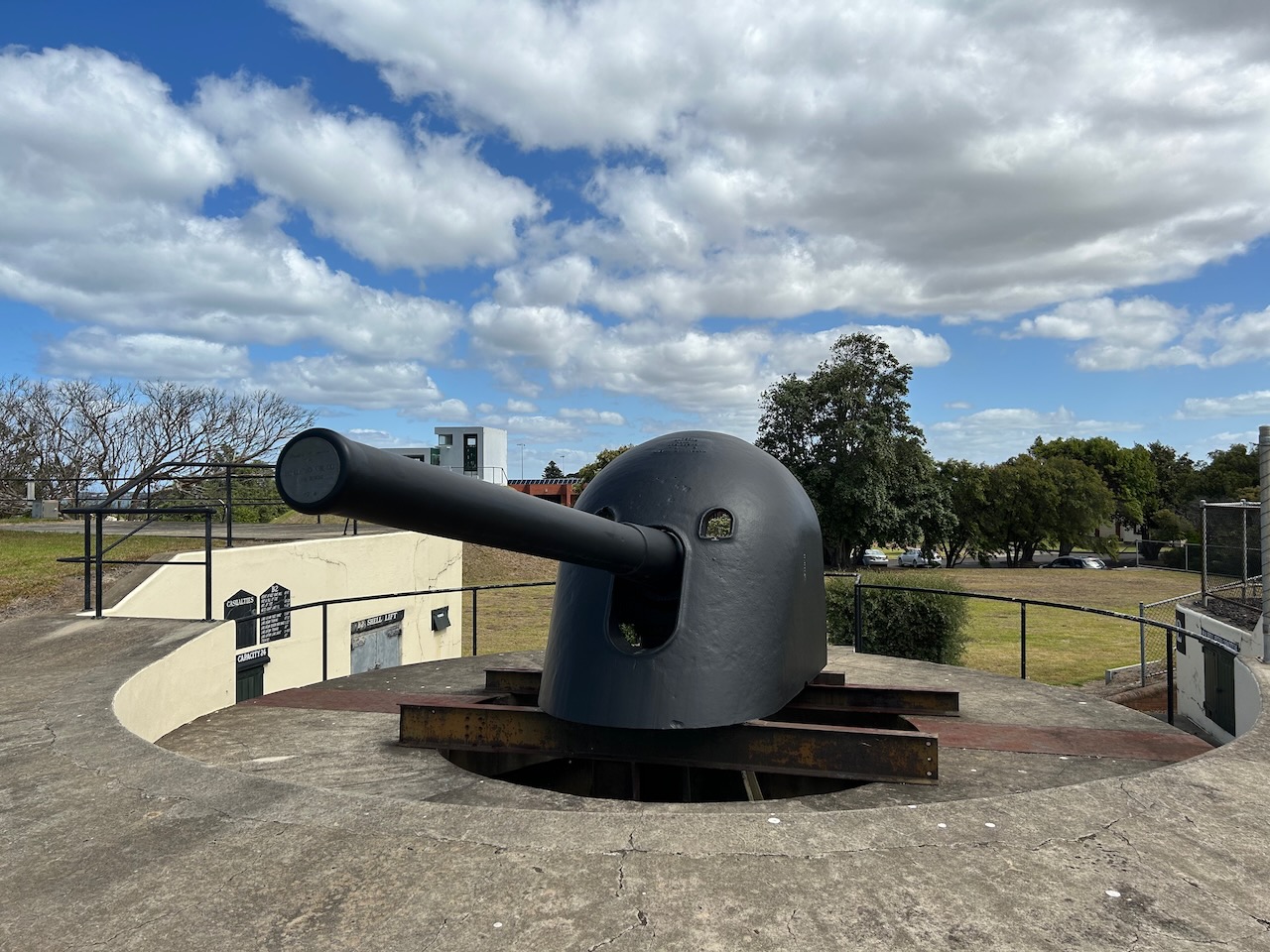
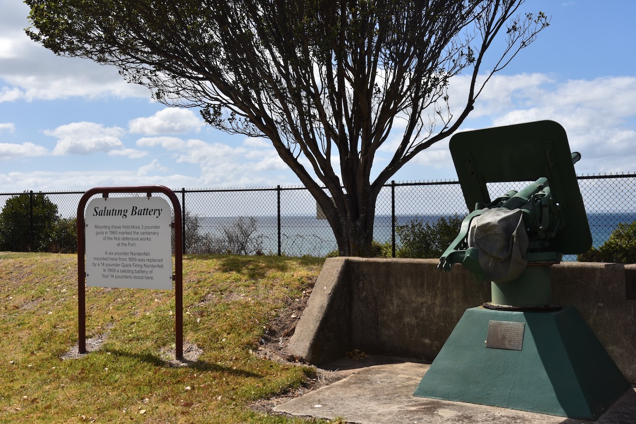
We also had a quick look, from the outside, of Fort Queenscliff, which dates from 1860 when an open battery was built at Shortland’s Bluff to defend the entrance to Port Phillip.


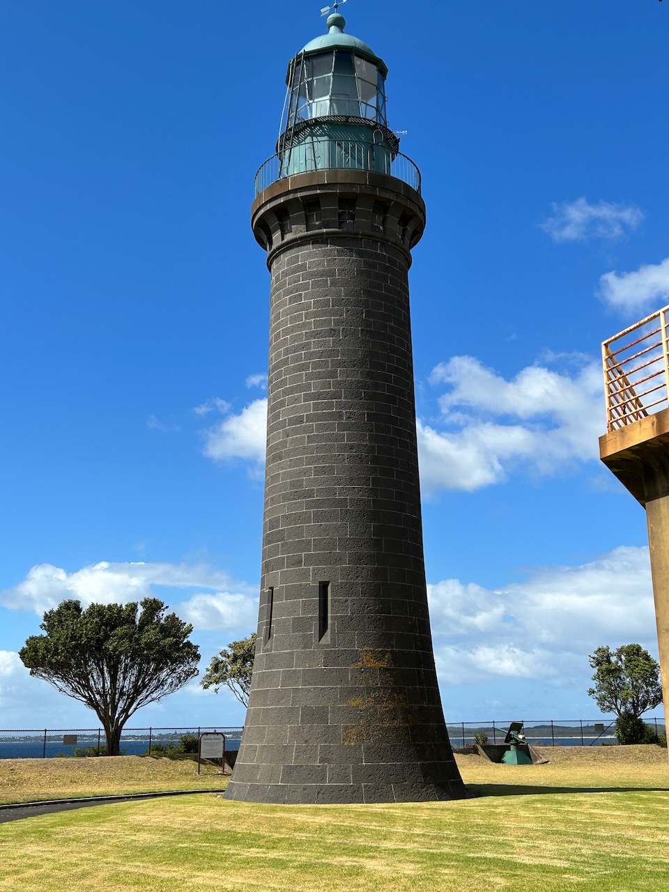
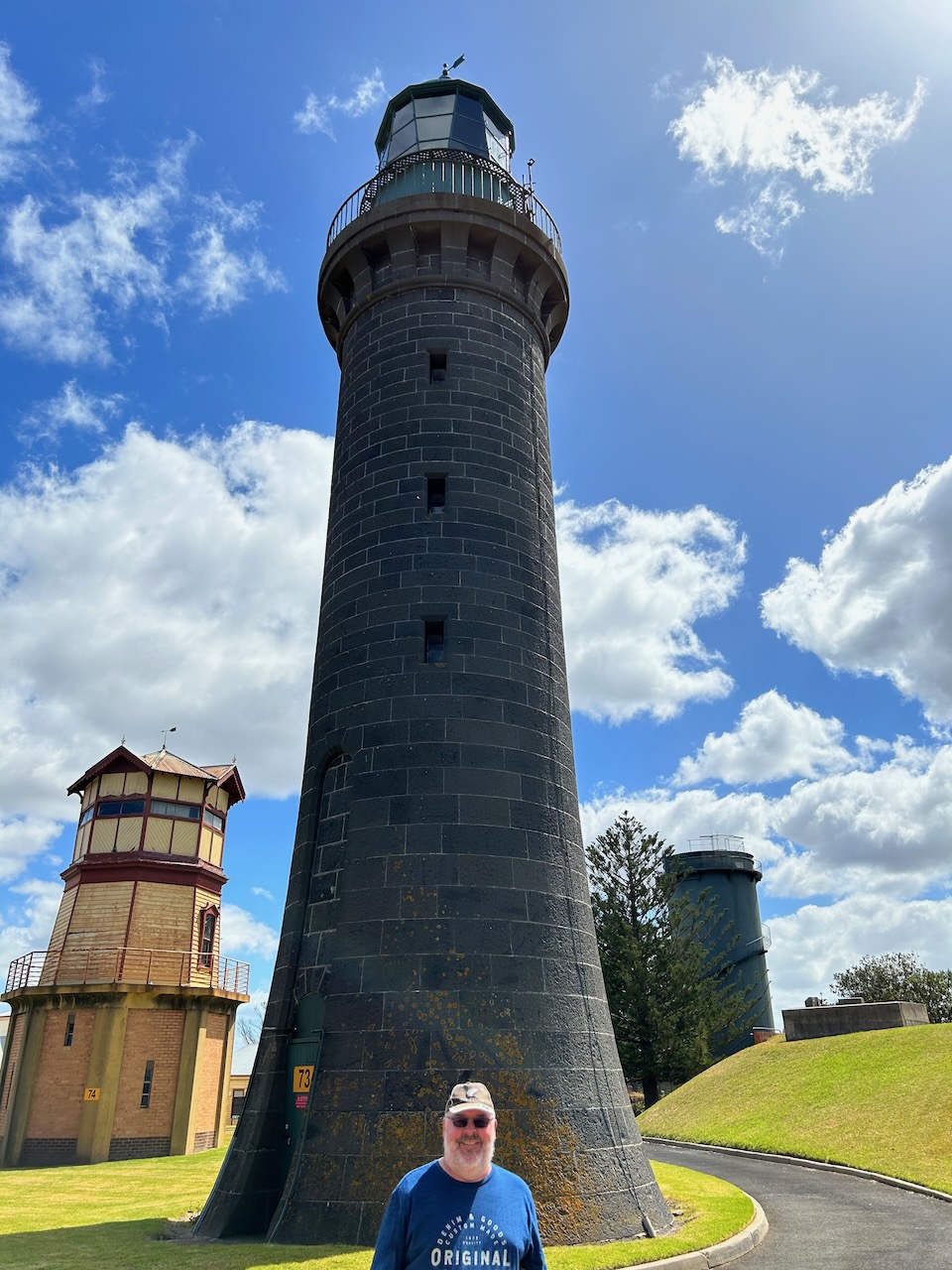
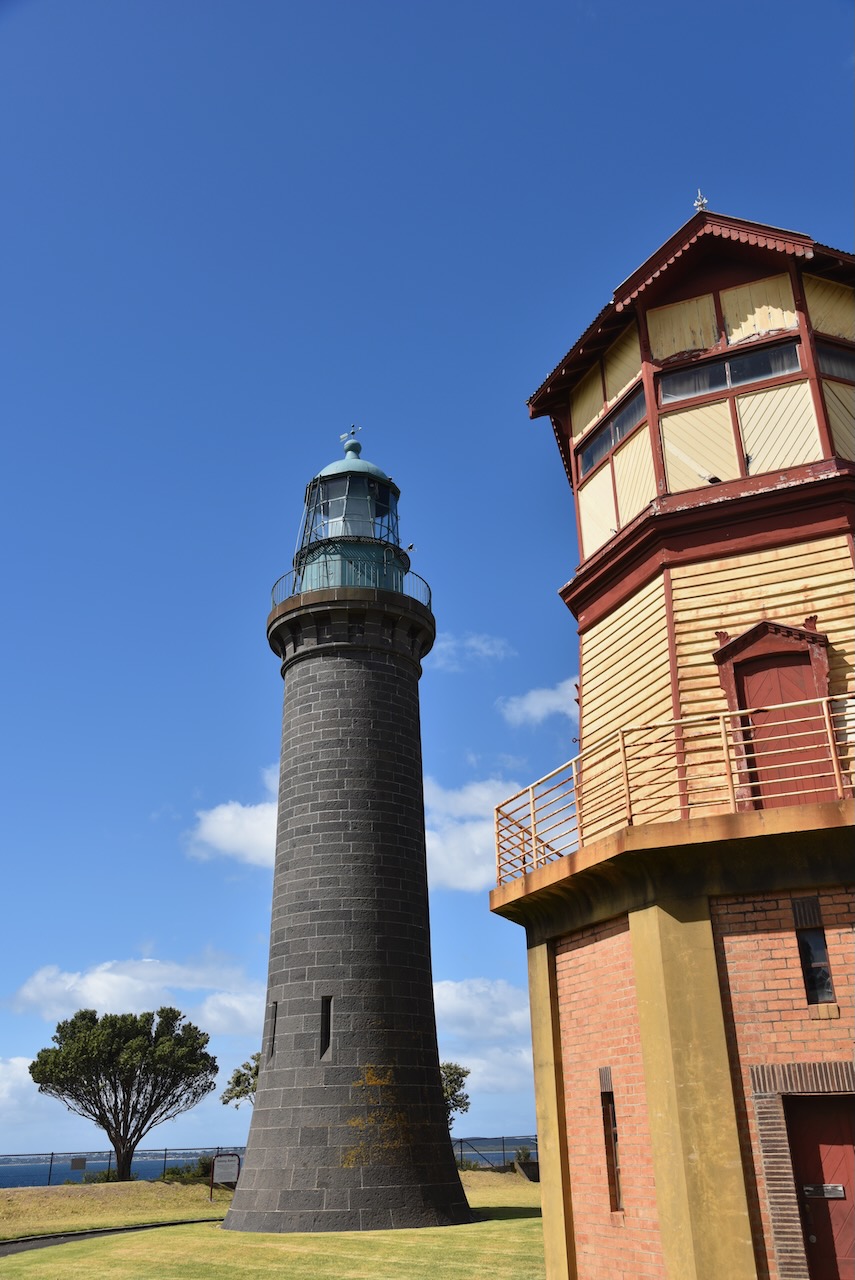
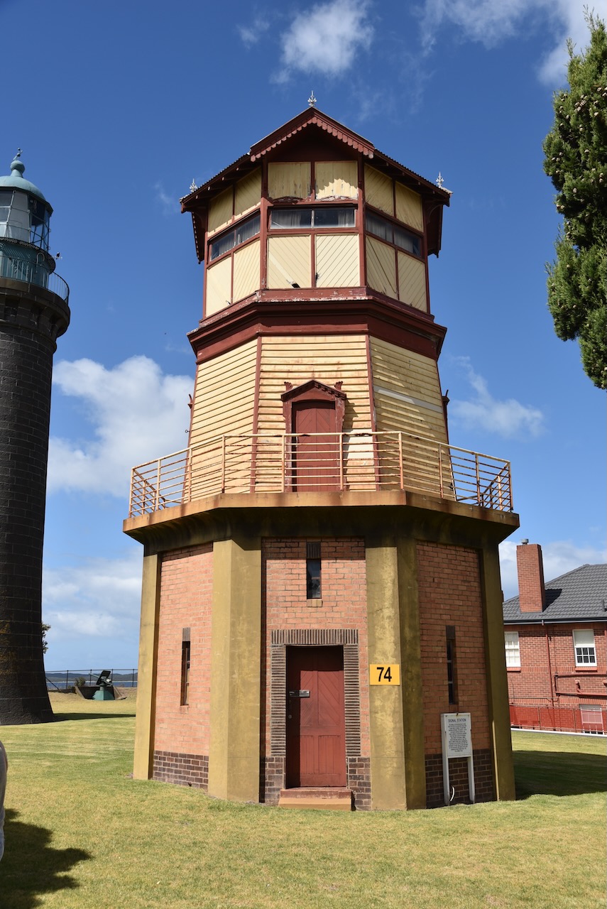
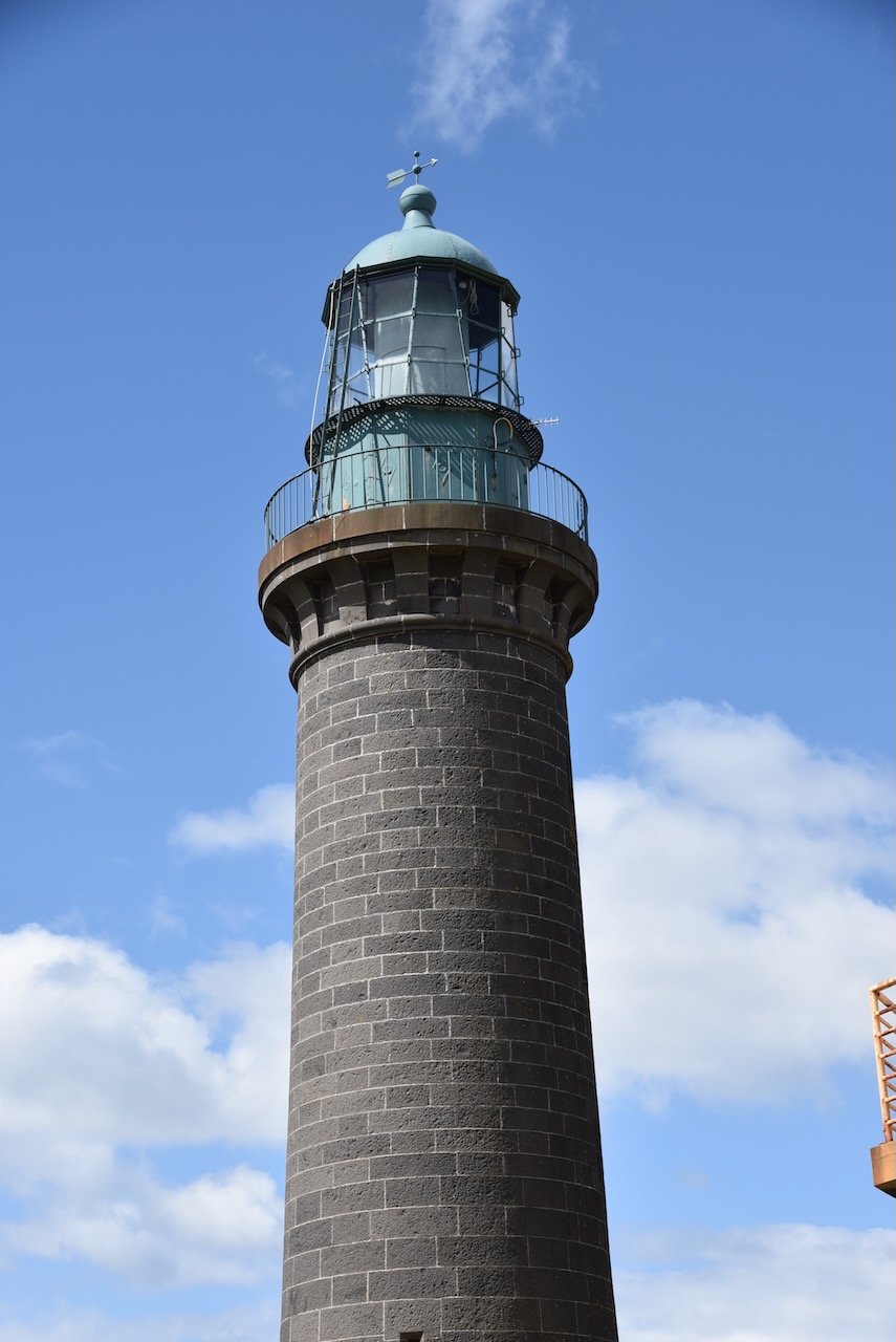
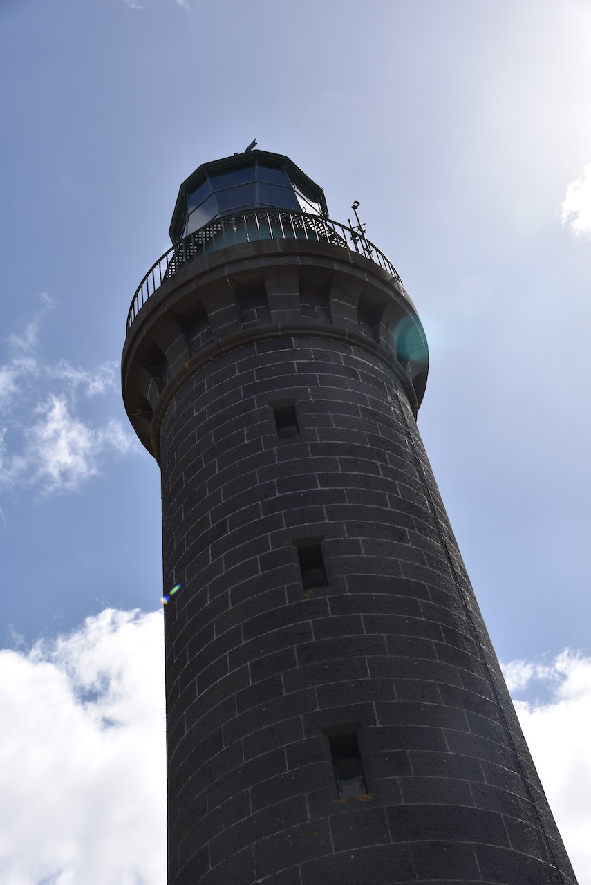
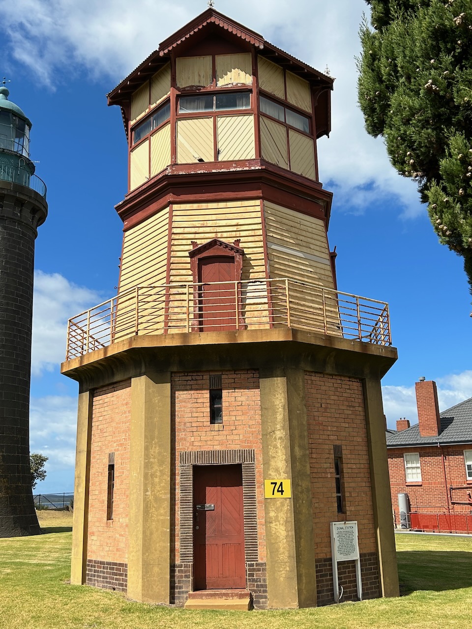
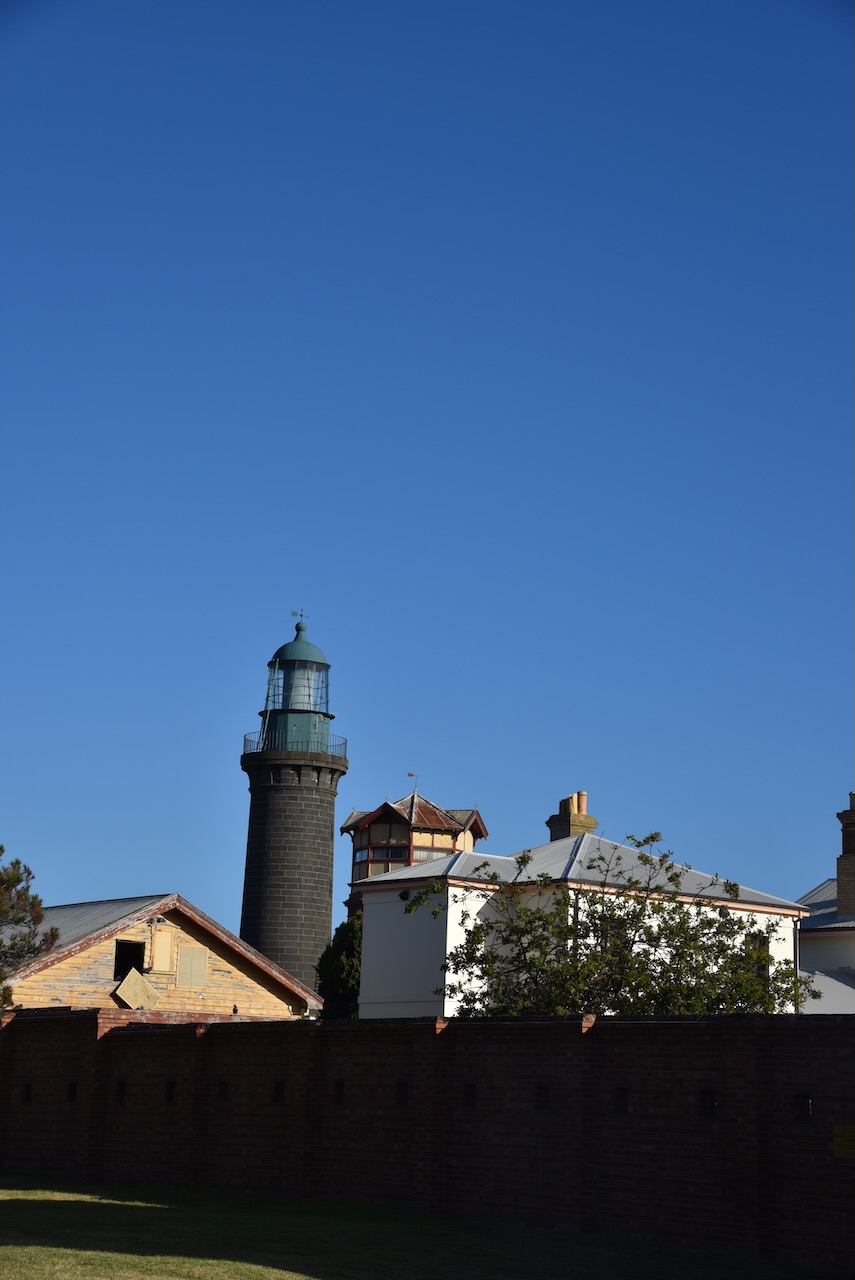
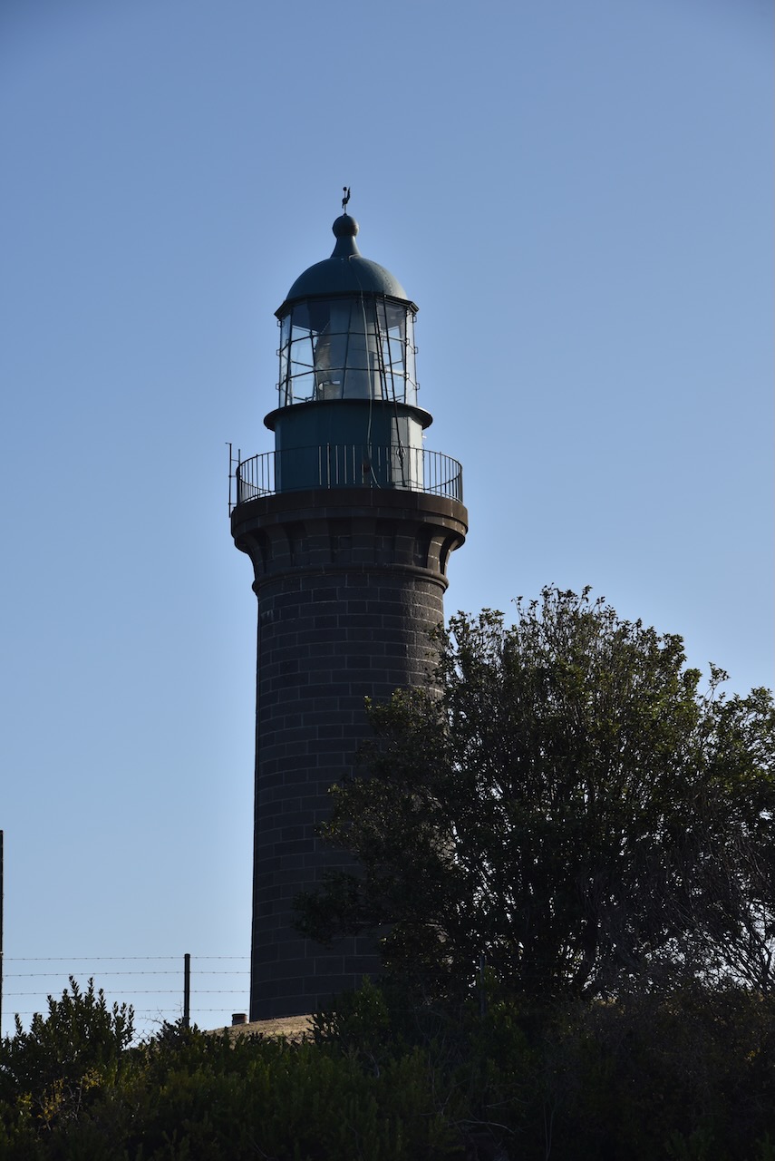
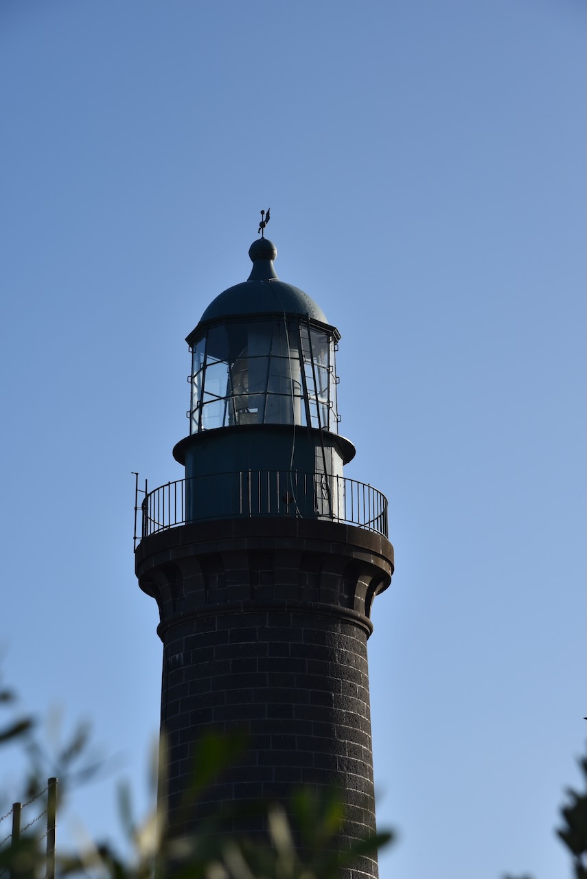
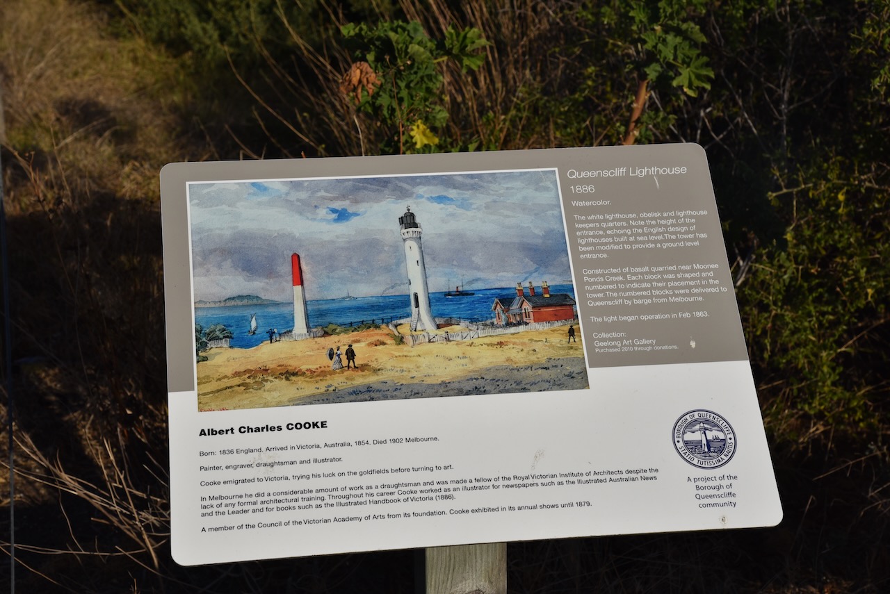
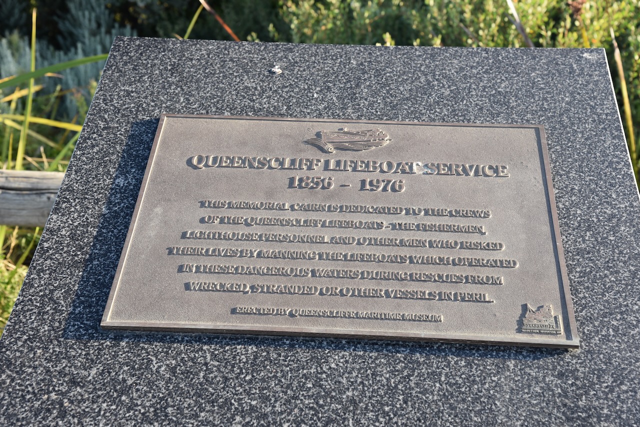
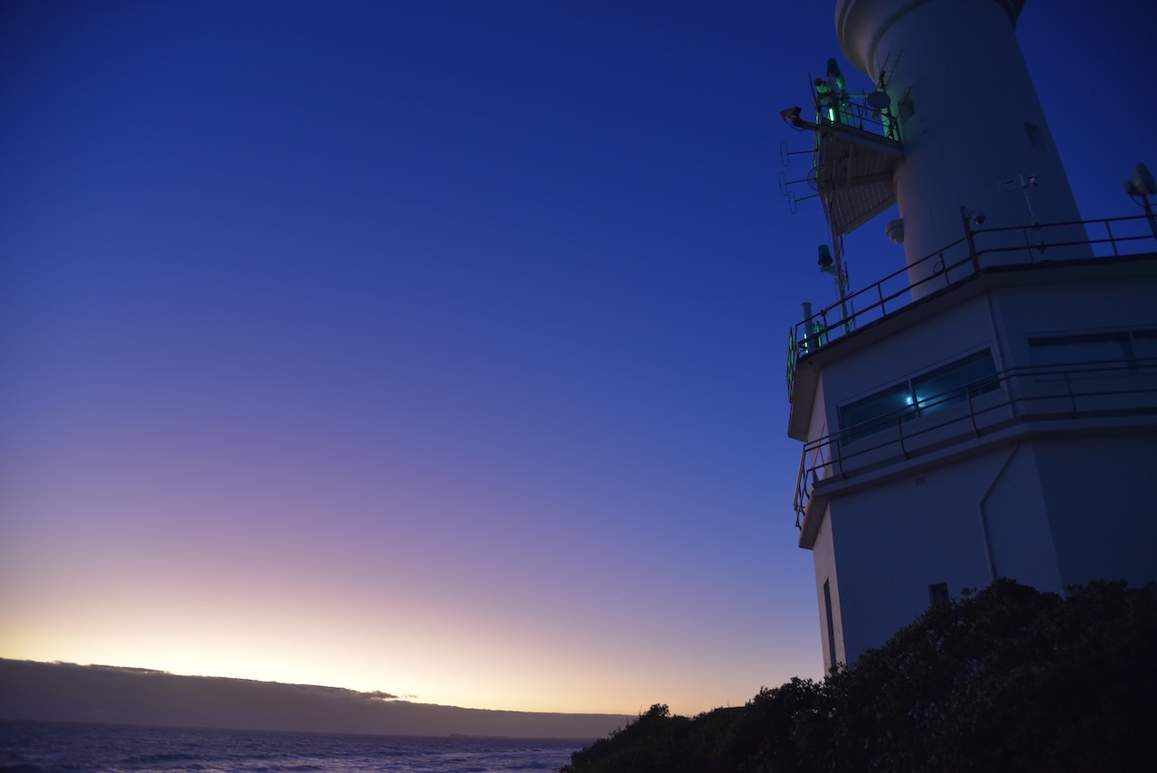
Queenscliffe is home to the famous Shortland Bluff ‘Queenscliff Black’ lighthouse which was built in 1862. It is also known as Queenscliff High Light.

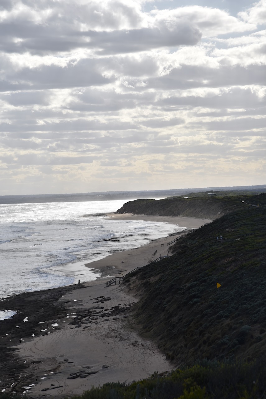
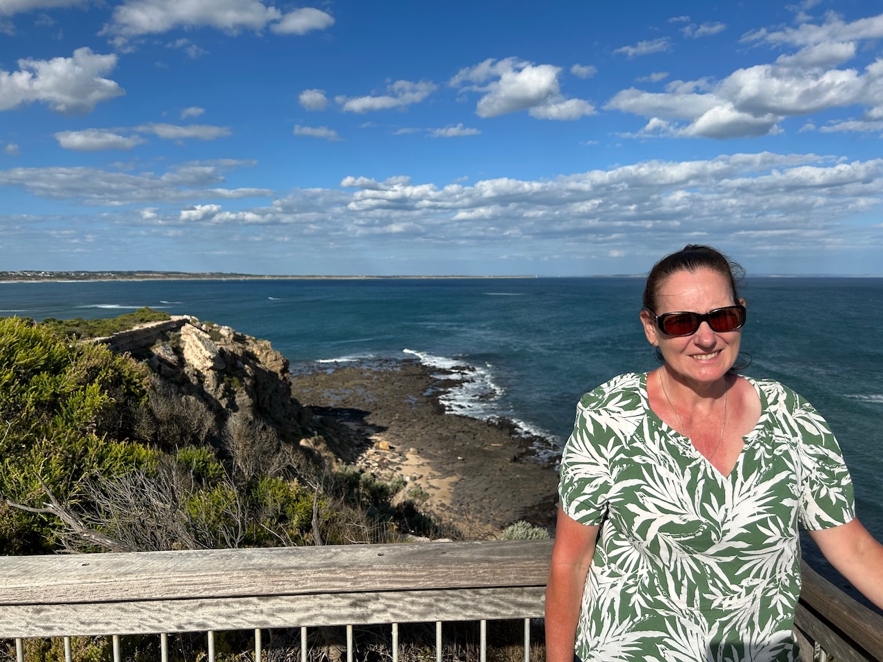
It was a beautiful evening and we enjoyed some great views along the coastline, including across to the Point Nepean National Park.


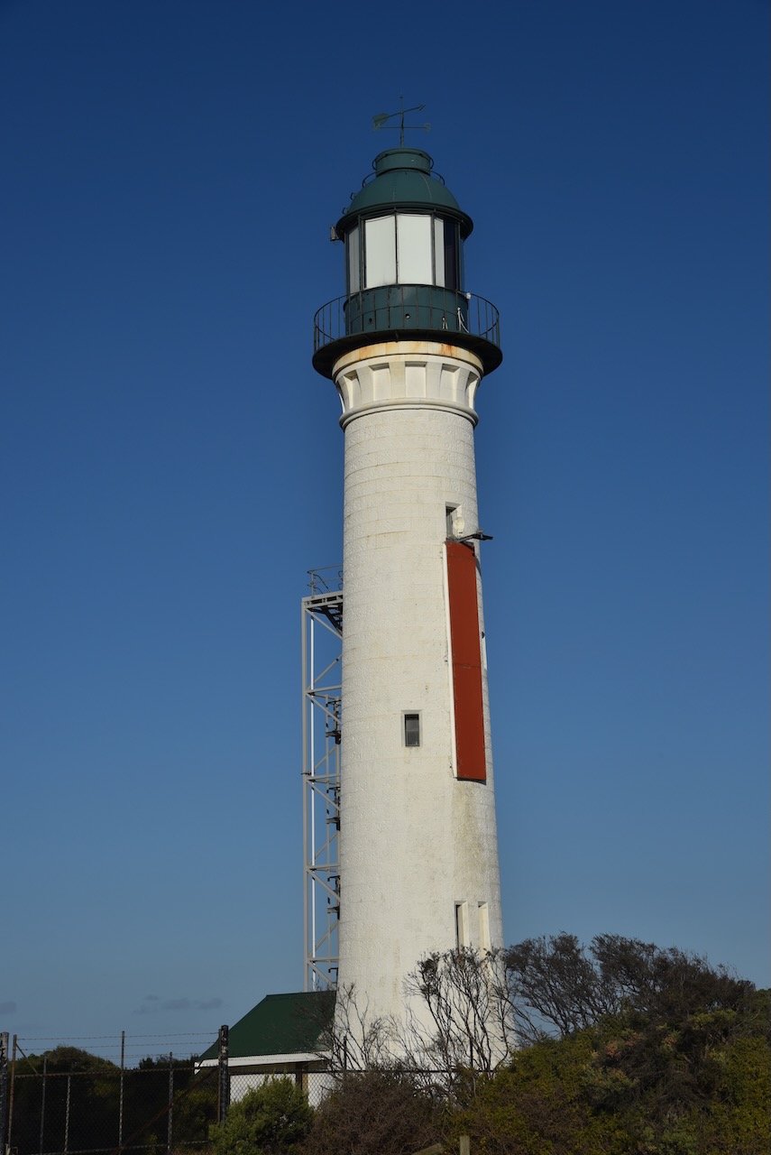
Queenscliff is home to two lighthouses: The Queenscliff High Light, and the Queenscliff Low Light, also known as the Queenscliff White Lighthouse. It was built in 1863 to replace the original prefabricated wooden lighthouse.


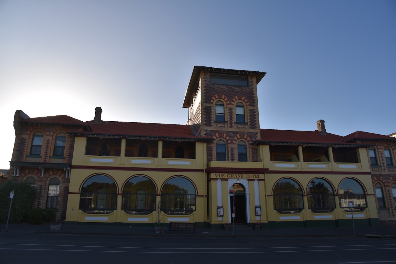
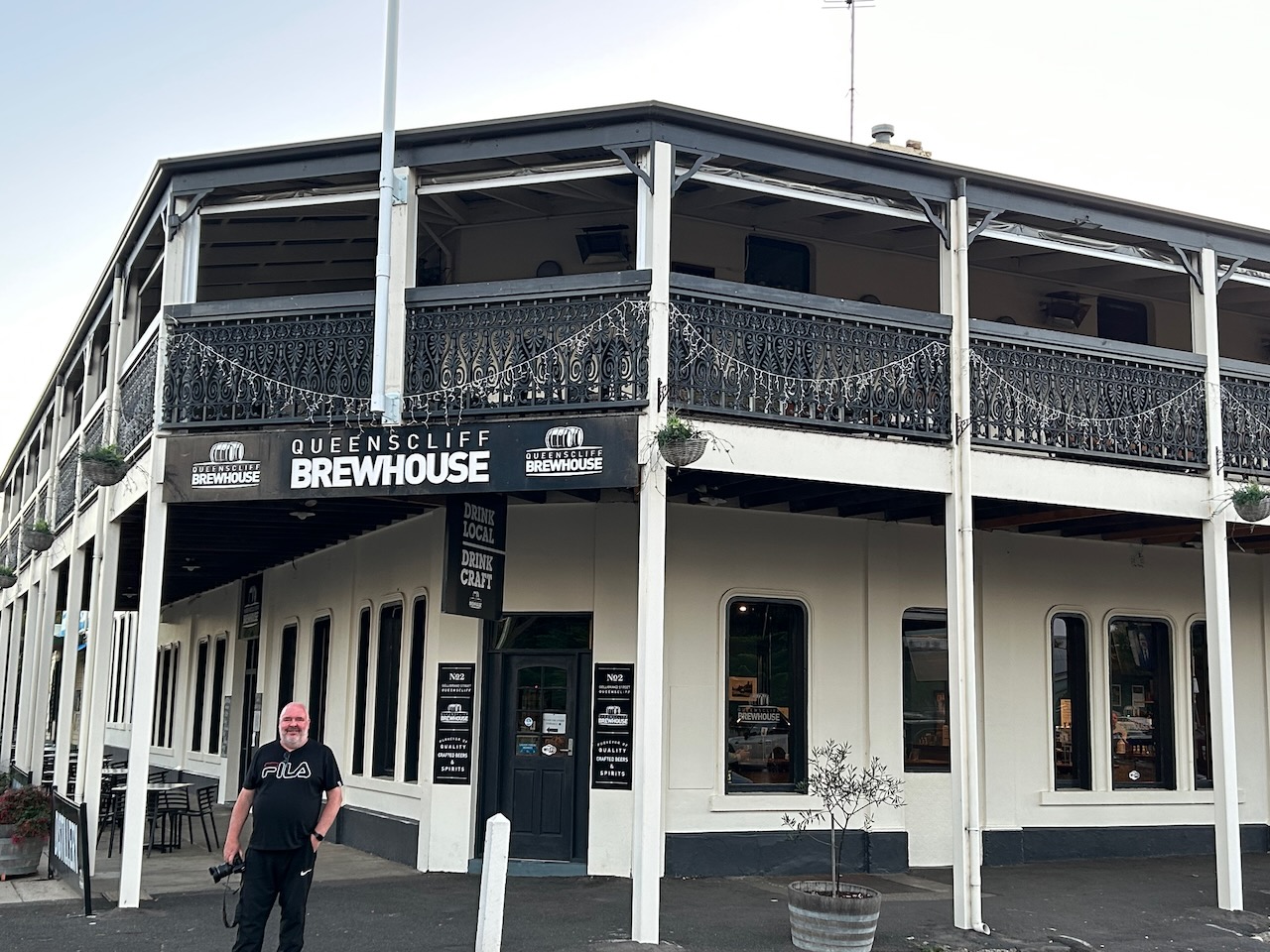
We were getting hungry, so we headed to the Queenscliff Brewhouse where we enjoyed a very nice meal.

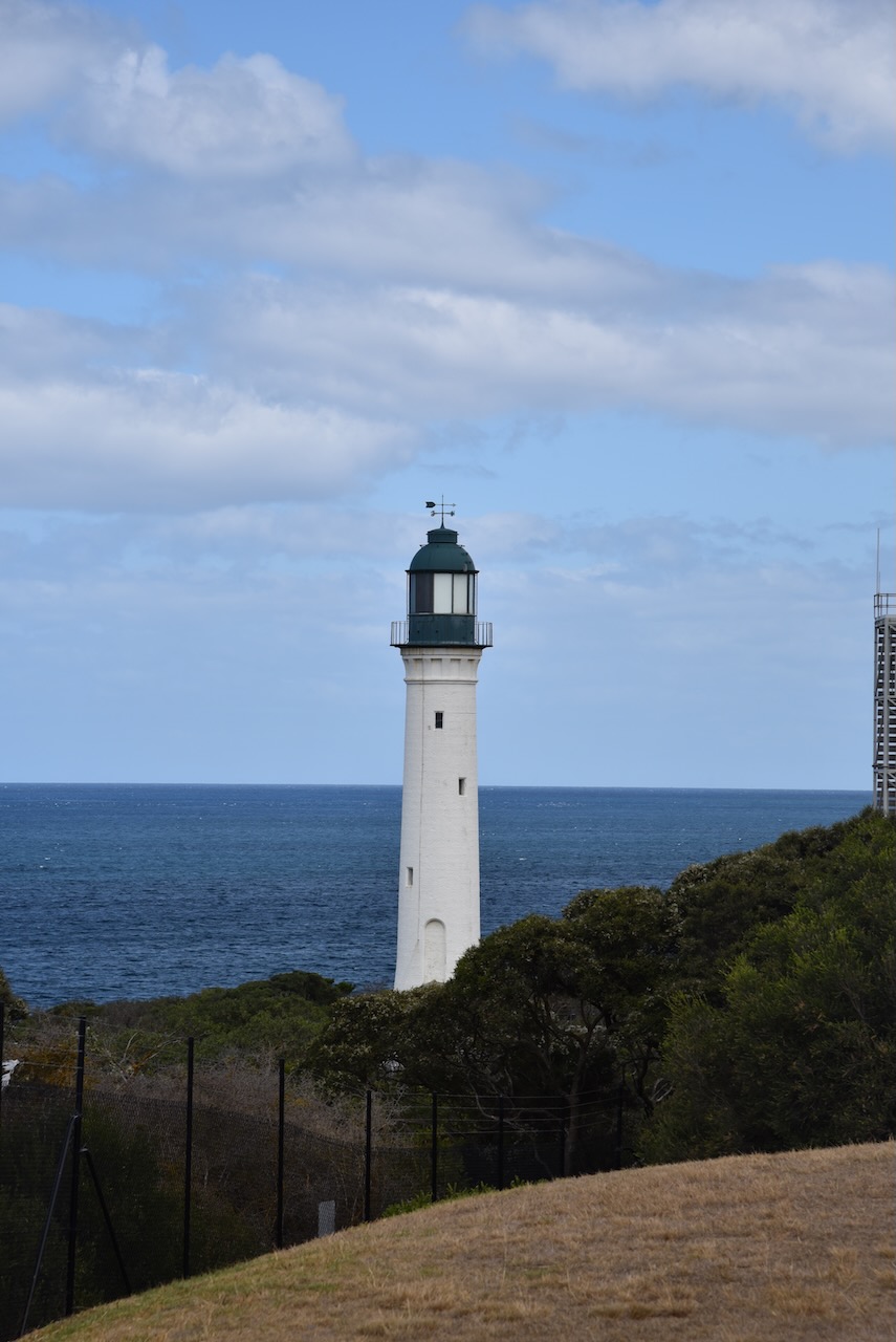
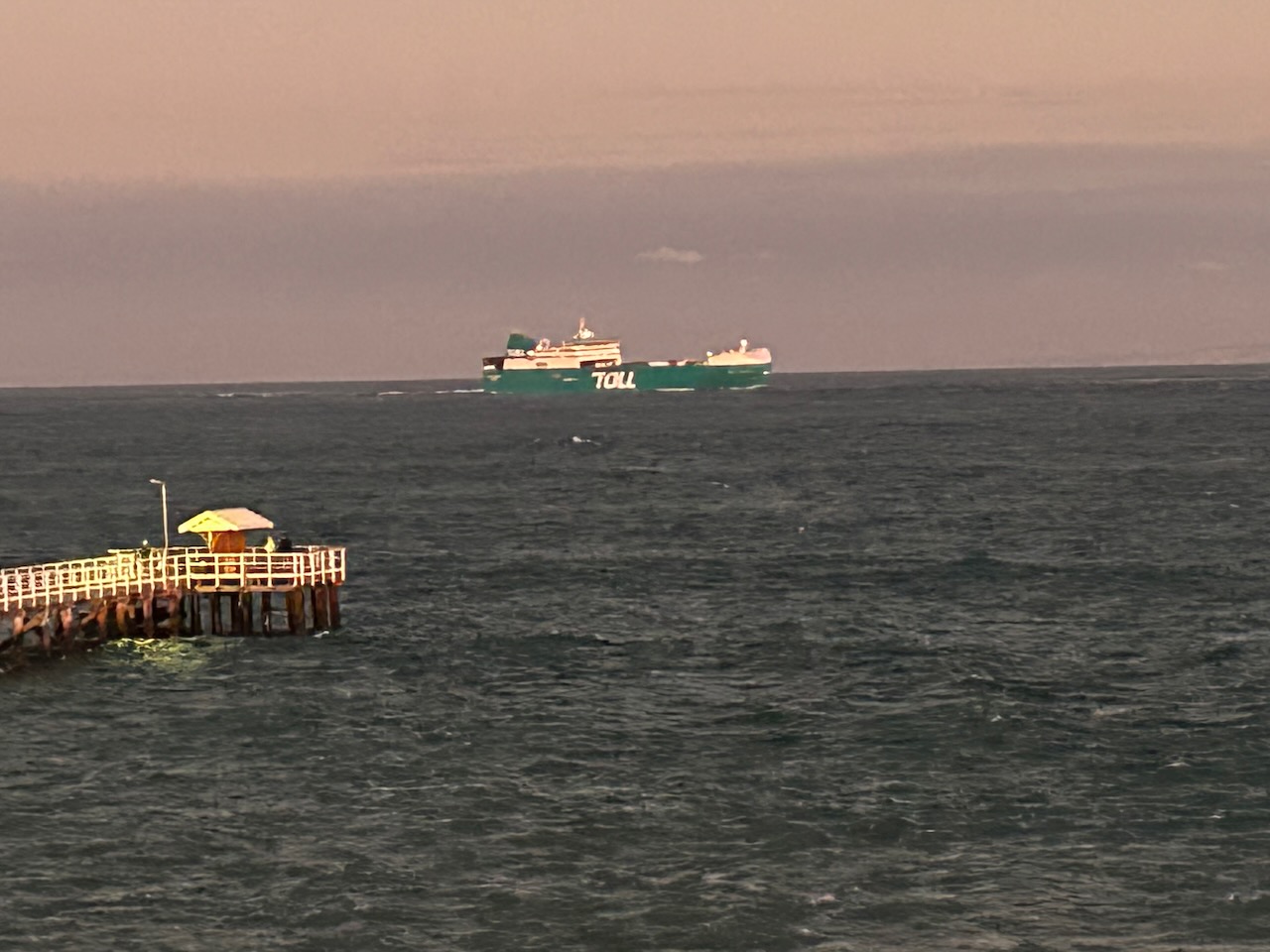
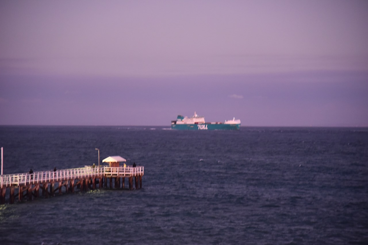
After dinner, we drove out to the Point Lonsdale lighthouse which was built in 1902 to replace the original wooden lighthouse which had been dismantled at Shortland Bluff and then re-erected at Point Lonsdale in 1863.


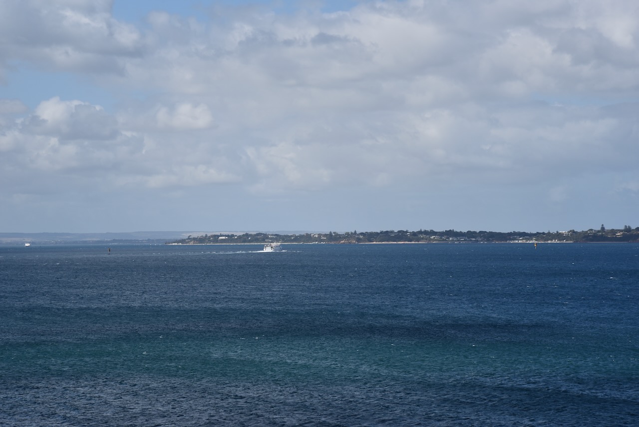
Although being windy, it was quite a balmy night, so we stayed for a while watching some of the ships entering and leaving Port Phillip Bay.
We then headed back to our accommodation in Geelong.


References.
Amateur Radio, Short Wave Listening, travel and history
Amateur radio experiences with VK1DA
Brisbane - Australia
german amateur radio station
Summits On The Air
SOTA on the peaks, wilderness QRP and some bushwalking
A fine WordPress.com site
Amateur Radio Adventures
Summits on the Ai
Amateur radio station from Belgium
Radio craft, homebrew, QRP/SOTA, AM
Ego loqui ad viros super montes
My adventures with Amateur Radio and Geocaching!
The rantings of VK2GAZ on his SOTA experiences in Australia
A survivor, with minor cuts and abrasions.
The Art and Craft of Blogging
The latest news on WordPress.com and the WordPress community.
Blog of Justin Giles-Clark VK7TW's SOTA and amateur radio adventures.
Occasional SOTA & Microwave operation
