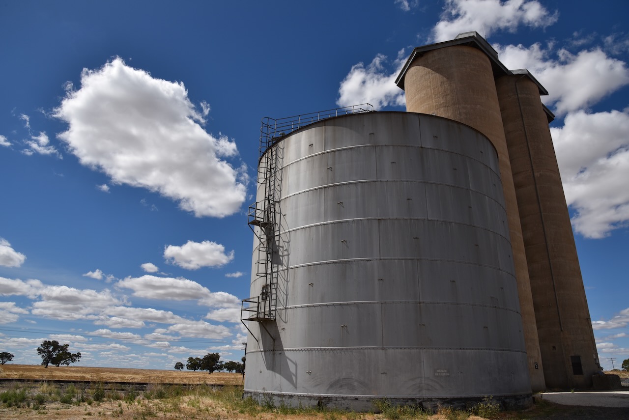
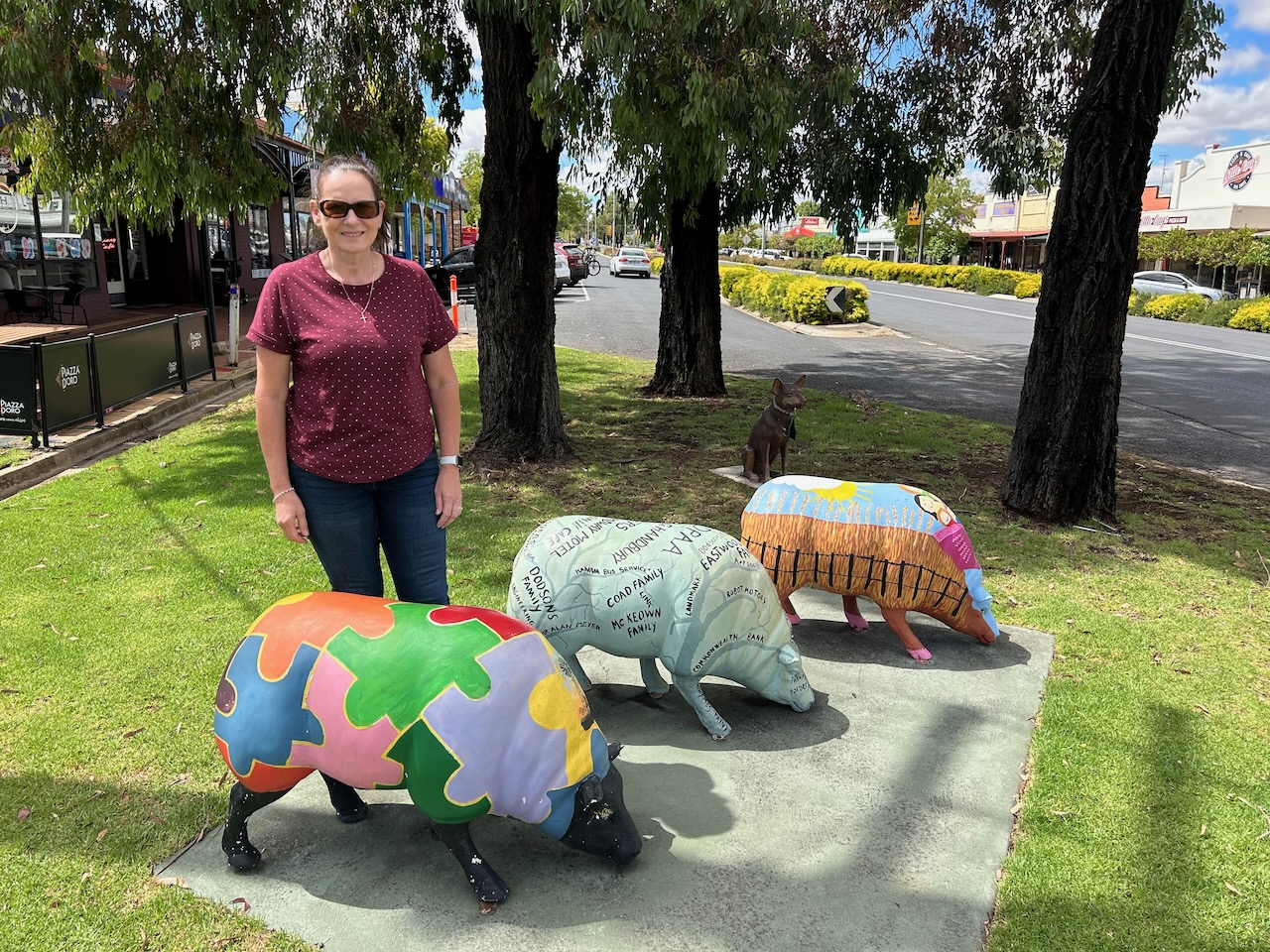
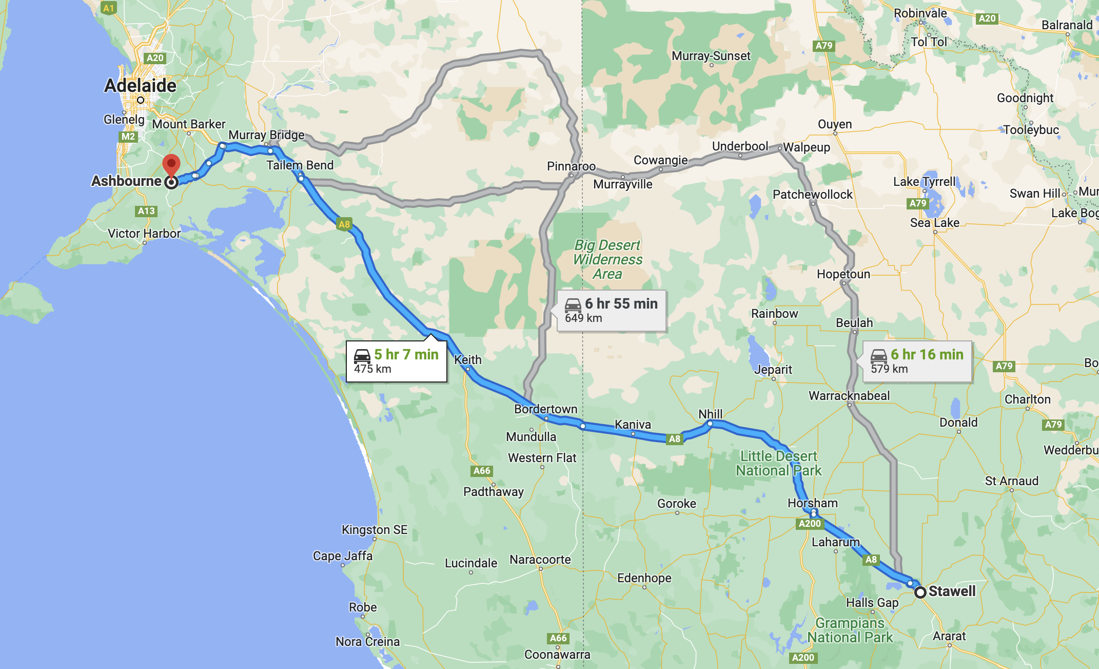
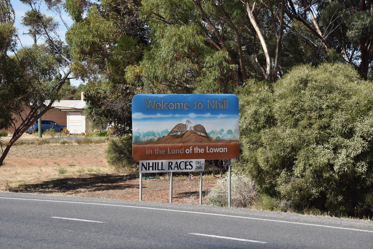
After leaving the Tarranginnie silo (27th February 2023), Marija and I drove a little further to the east to the town of Nhill. Nhill is located in the Wimmera region of Victoria, about 352 kilometres southeast of the city of Adelaide, and 340 kilometres northwest of the city of Melbourne.
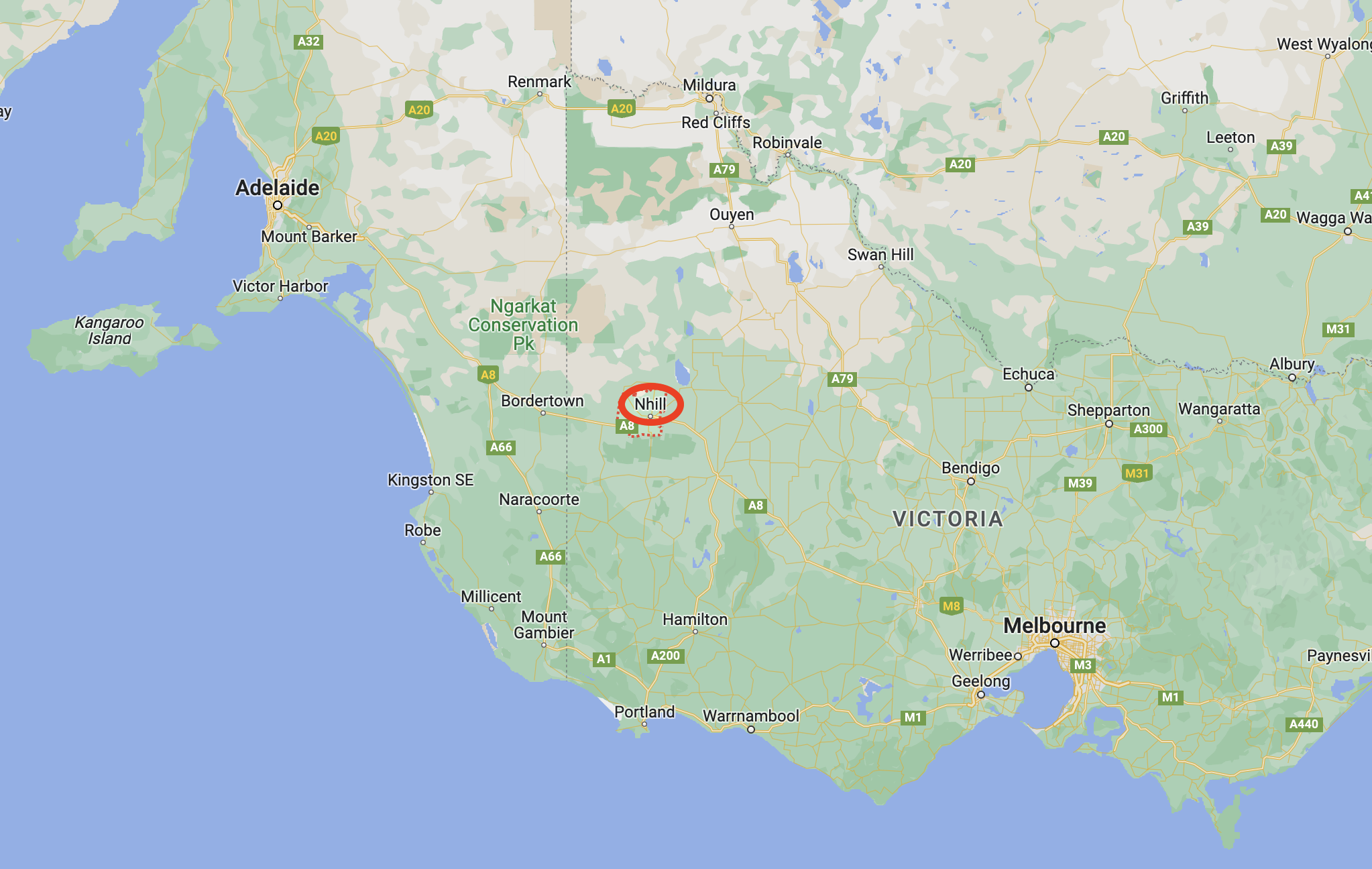
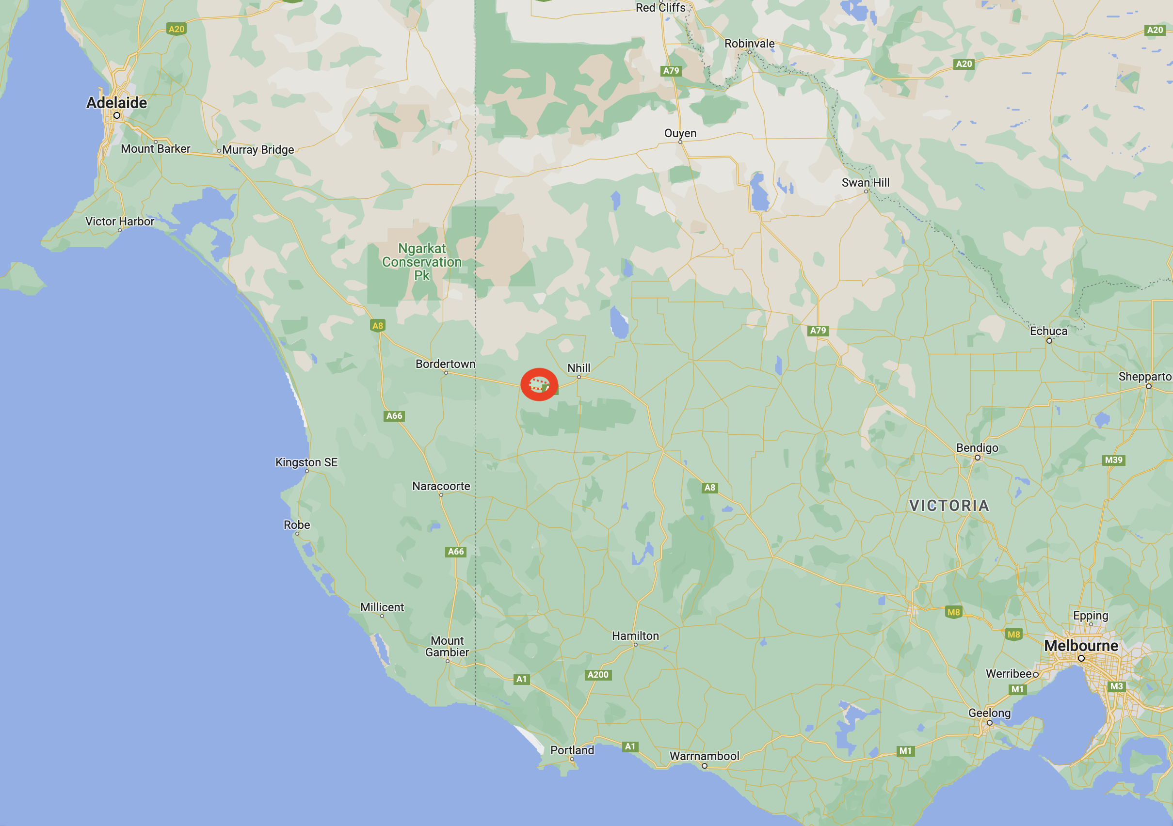
Above:- Map showing the location of Nhill. Map c/o Google maps.
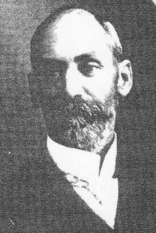
The first known Europeans in the area were squatters George Belcher and Dugald Macpherson who arrived in the area in 1844/1845. They located a large swamp and lagoon. They spoke with the local Wotjobaluk aboriginal people who called the area Nyell which is believed to mean mist or spirits over water. Belcher and Macpherson called it Nhill swamp. Macpherson also named his pastoral run as Nhill.
During the 1850s the famous gold escort route between the Victorian goldfields and Adelaide passed within 6 kilometres of the homestead which became a postal receiving and dispatch location.
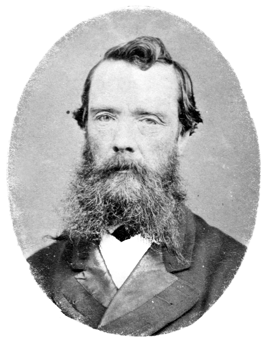
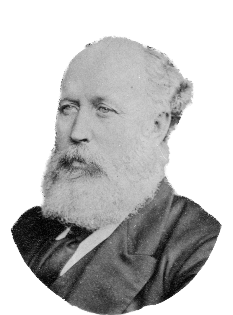
Above:- George Belcher and Dugald Macpherson. Images c/o Wikipedia.
From around 1875, other settlers arrived in the district and commenced to select their freehold farm selections. Following the town survey, a flour mill and a store were built in 1880. By 1881, the town had a police station, a Wesleyan church and two further hotels. This was followed by the opening of a school in a Bible Christian church, a hospital in 1882, a racing club in 1883, and an agricultural and pastoral society in 1884.
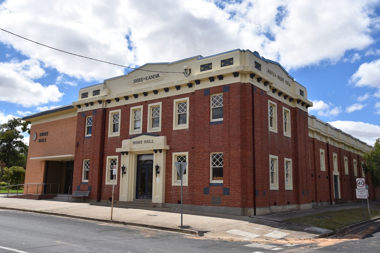
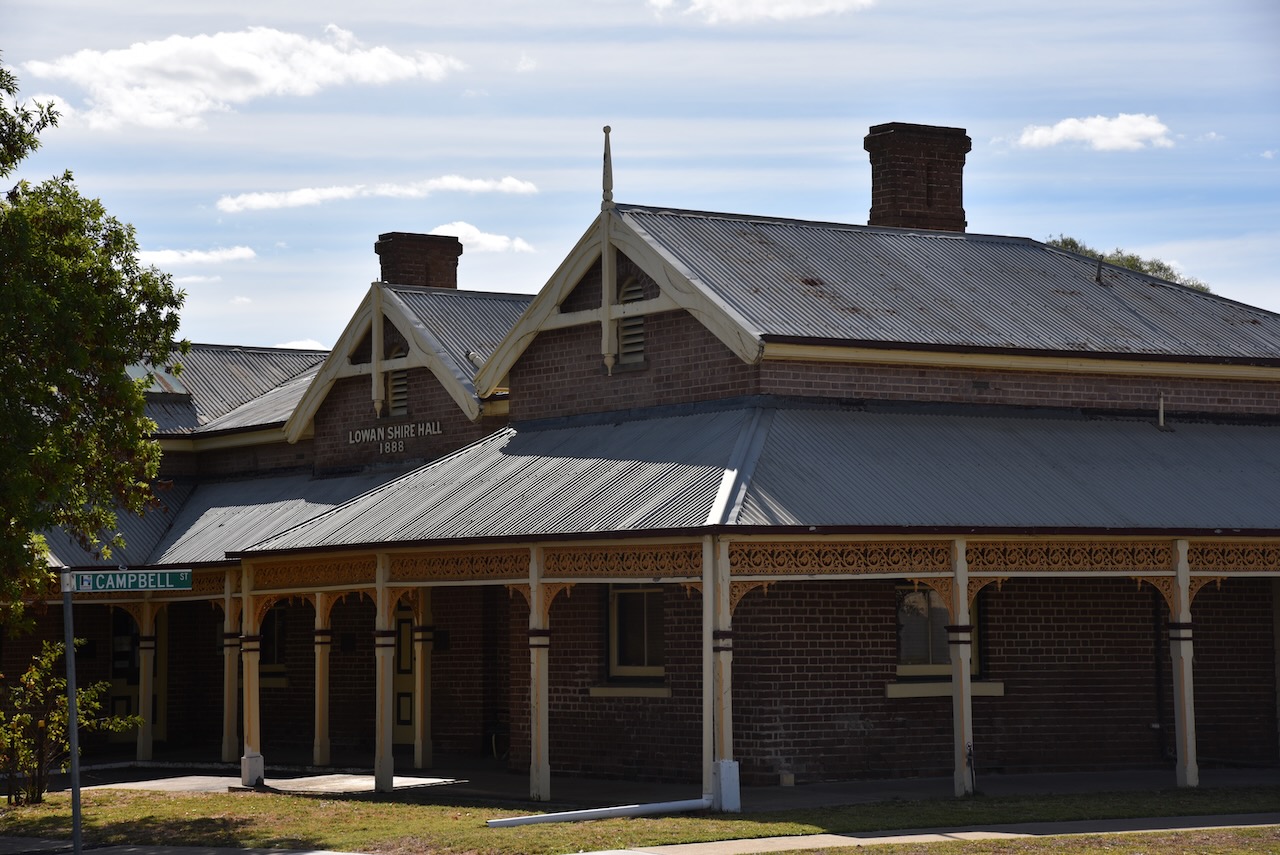
By 1886 the railway had reached Nhill following the introduction of the Victorian ‘Octopus Act’. This was a bill that authorised the construction of 59 new railway lines to connect all of the major towns in Victoria. As a result, there was substantial development in the town. In 1888 the Lowan Shire Hall was built and in 1889 a large flour mill was opened.
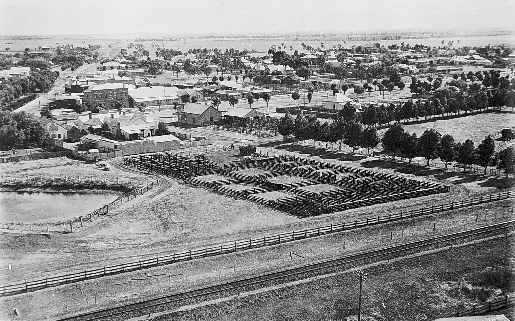
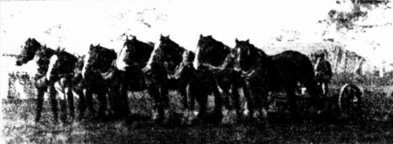
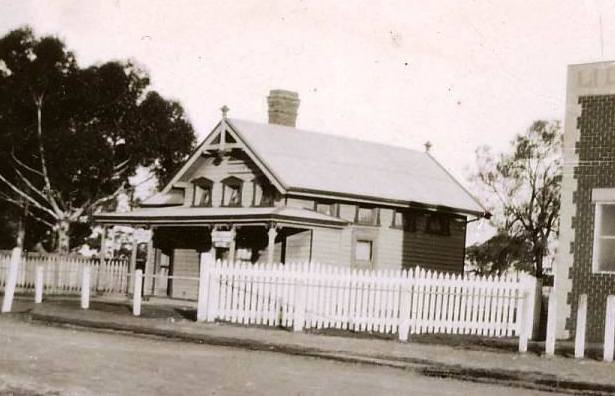
Above:- a view of Nhill in 1920 from the top of the Noske flour silo. Image c/o State Library Victoria.
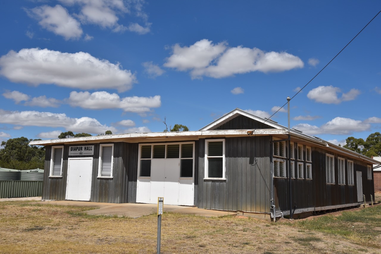
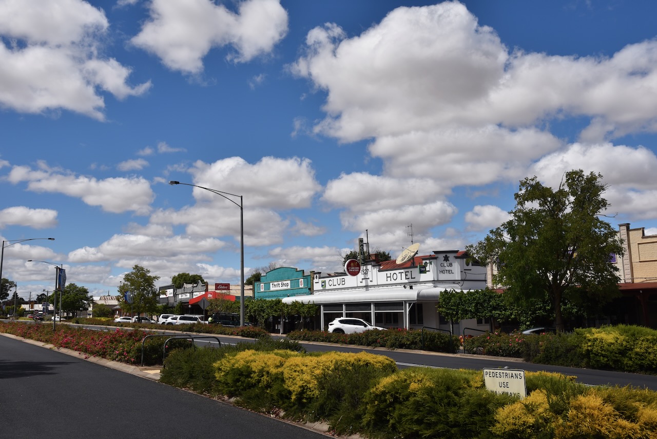
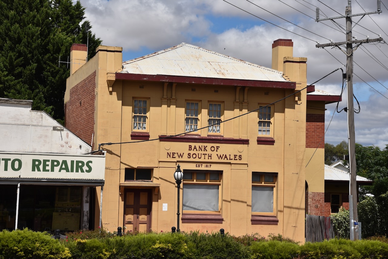
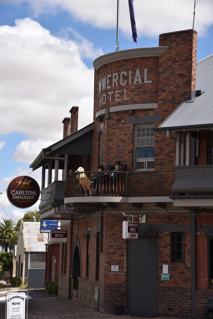
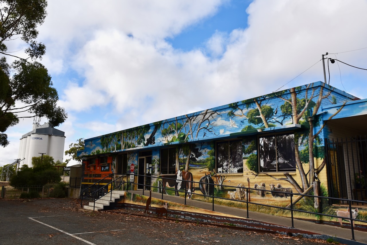
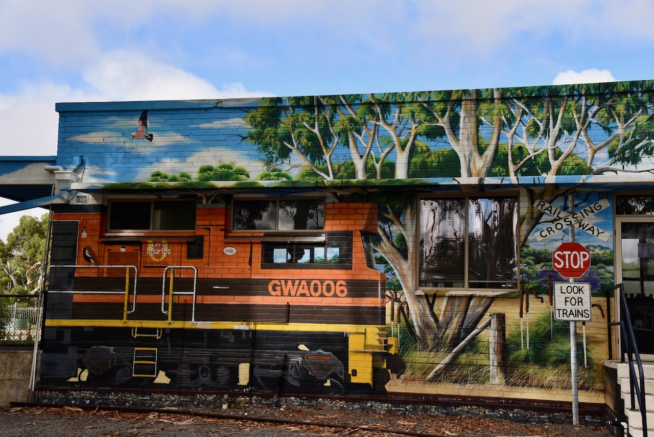
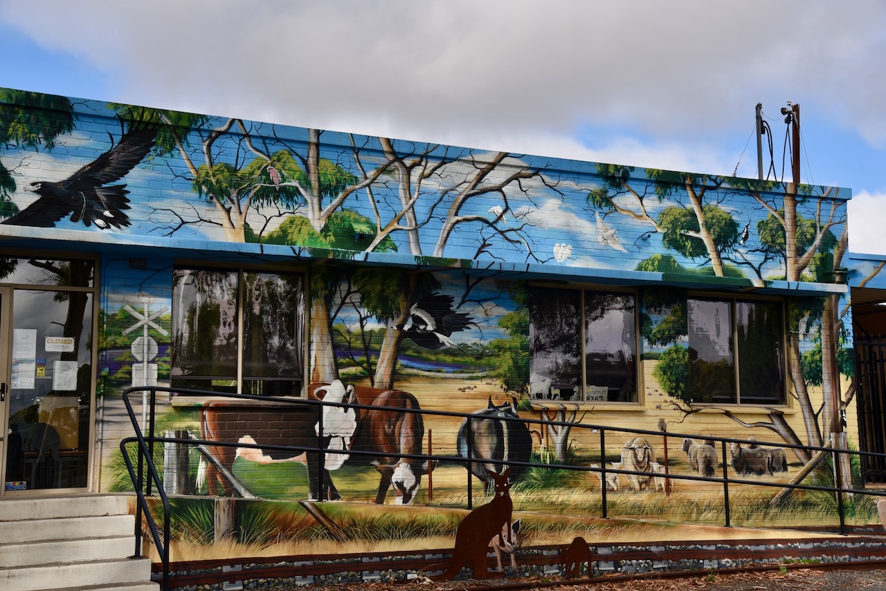
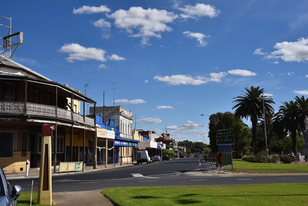
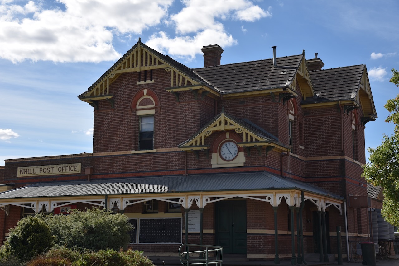
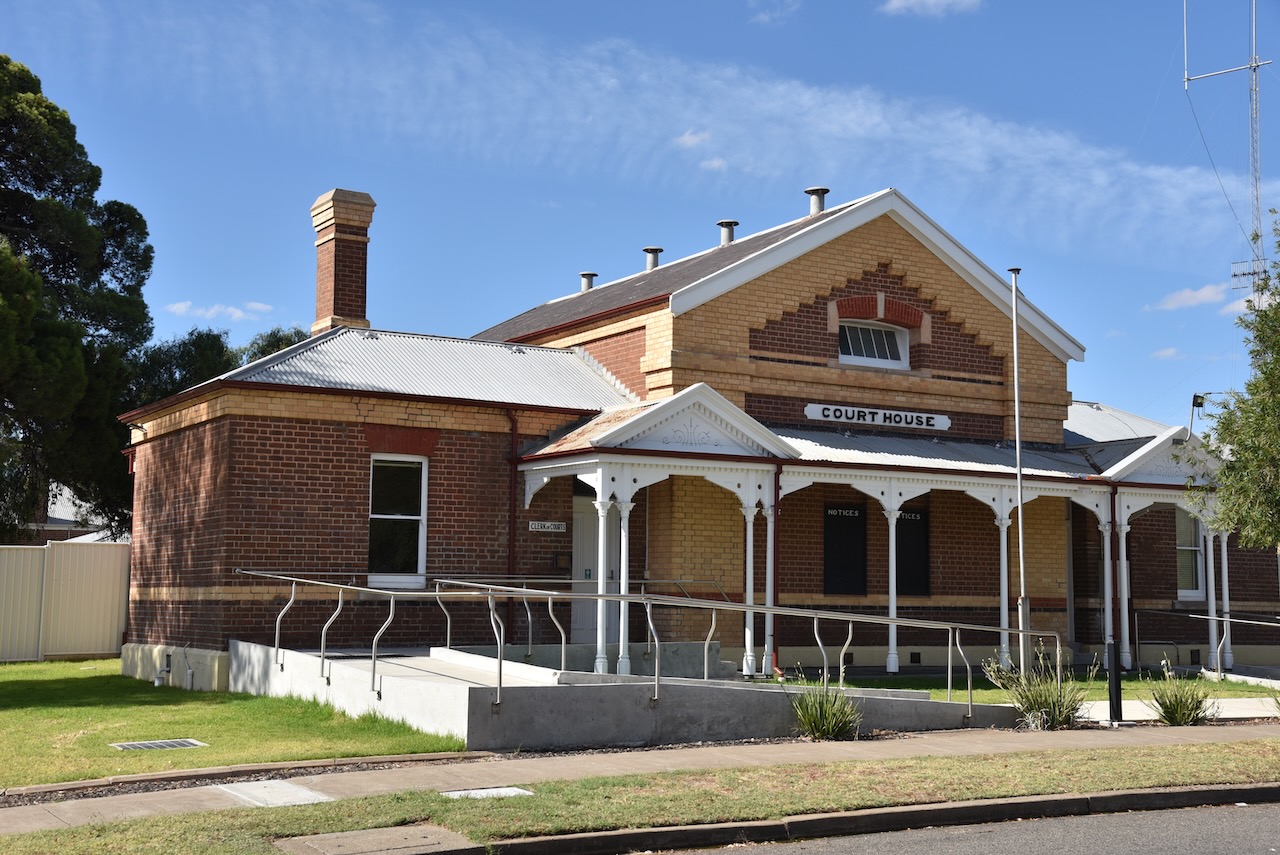
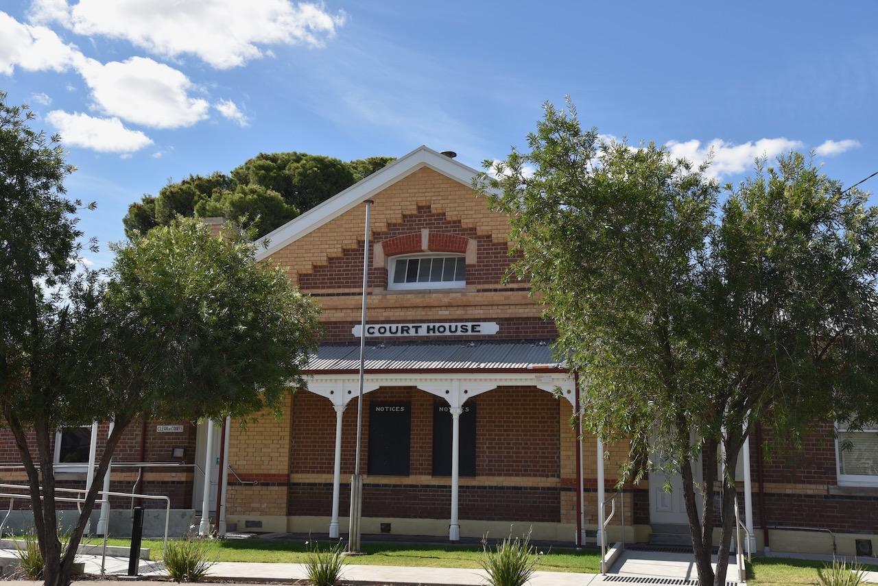
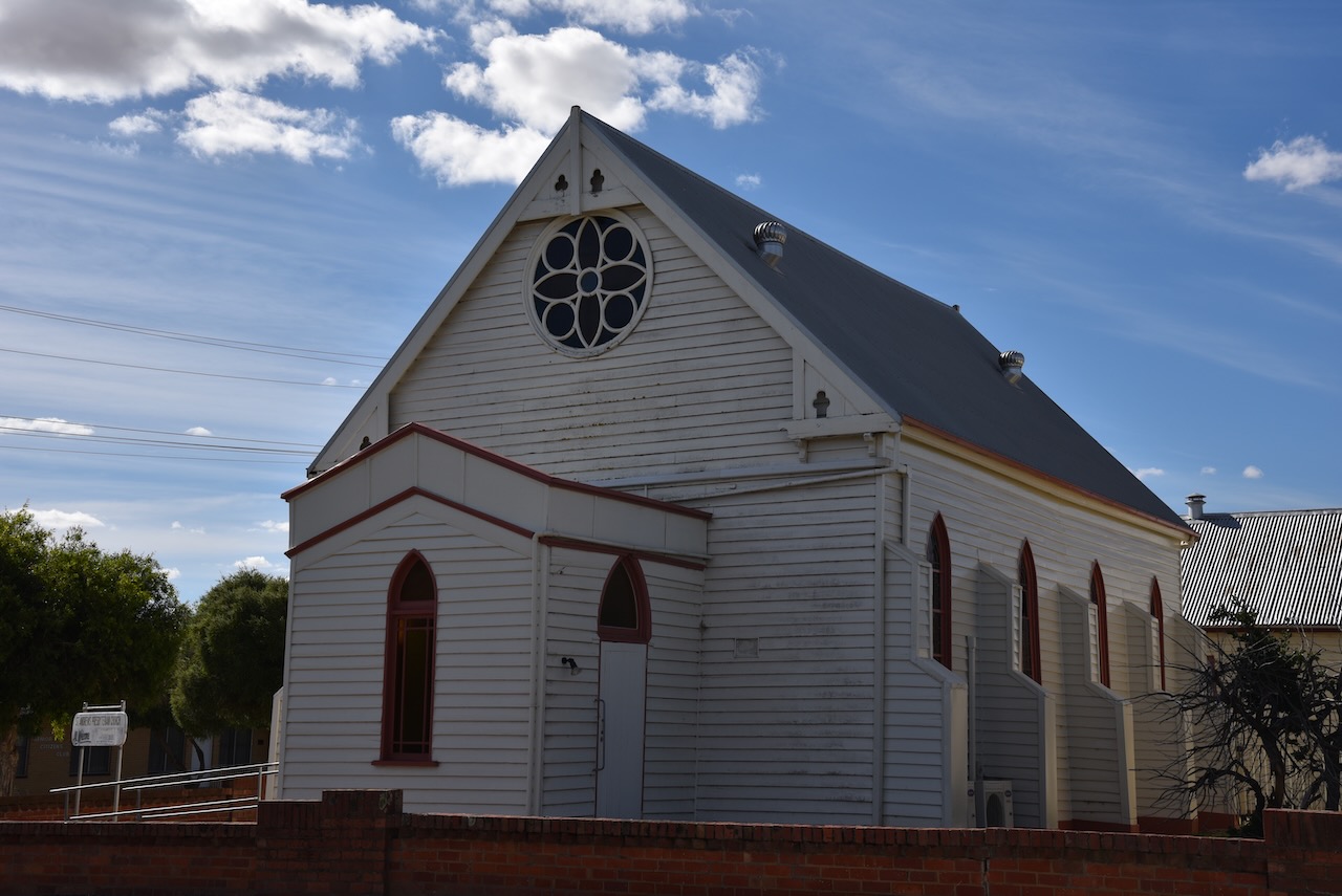
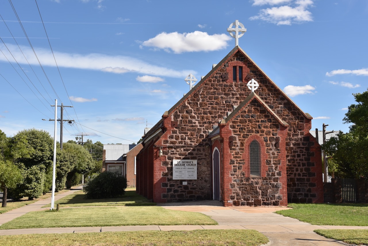
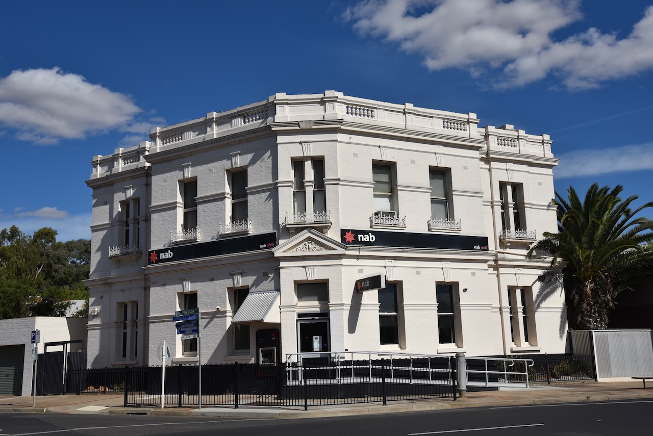
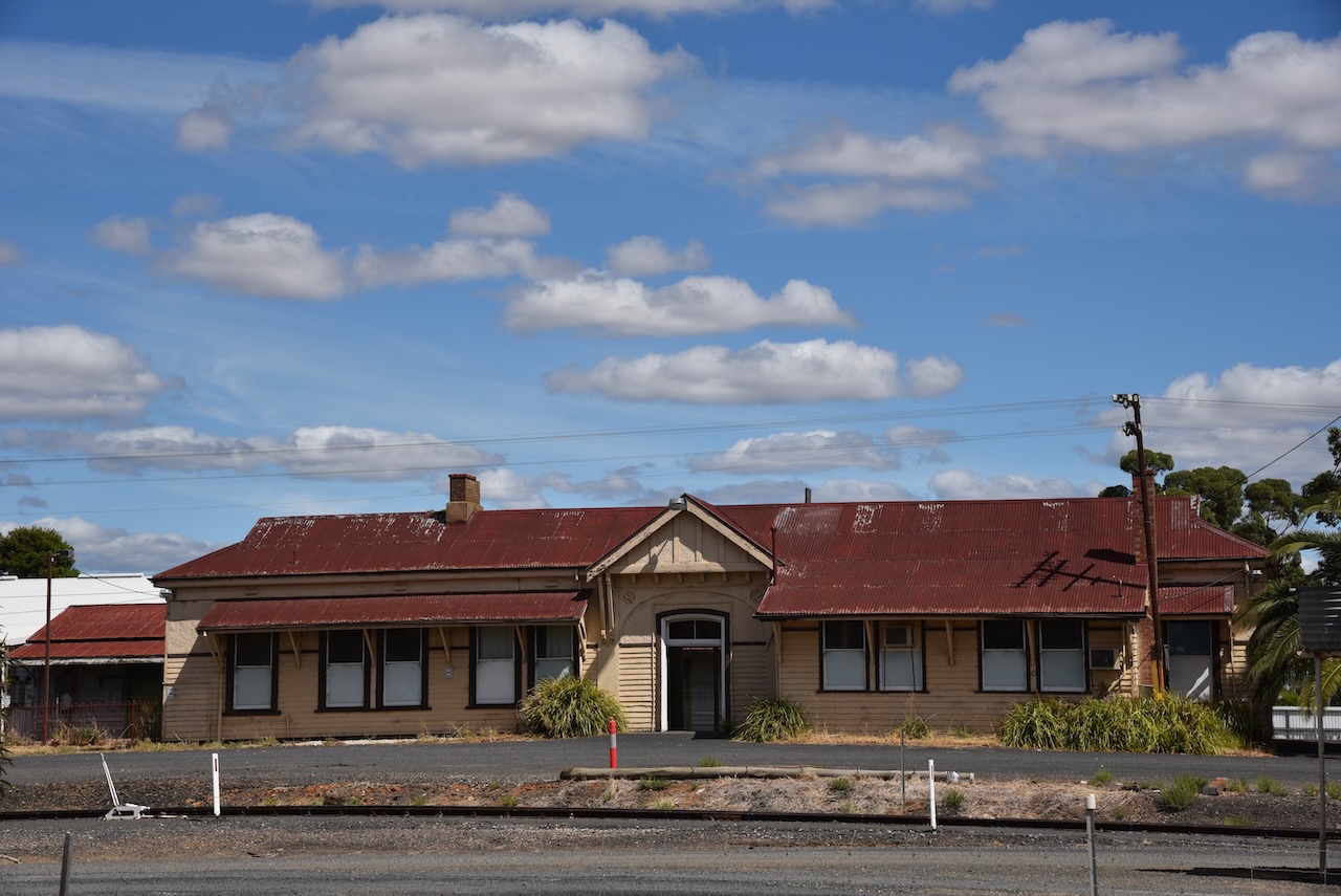
A walk around Nhill will reveal many of the historic buildings.
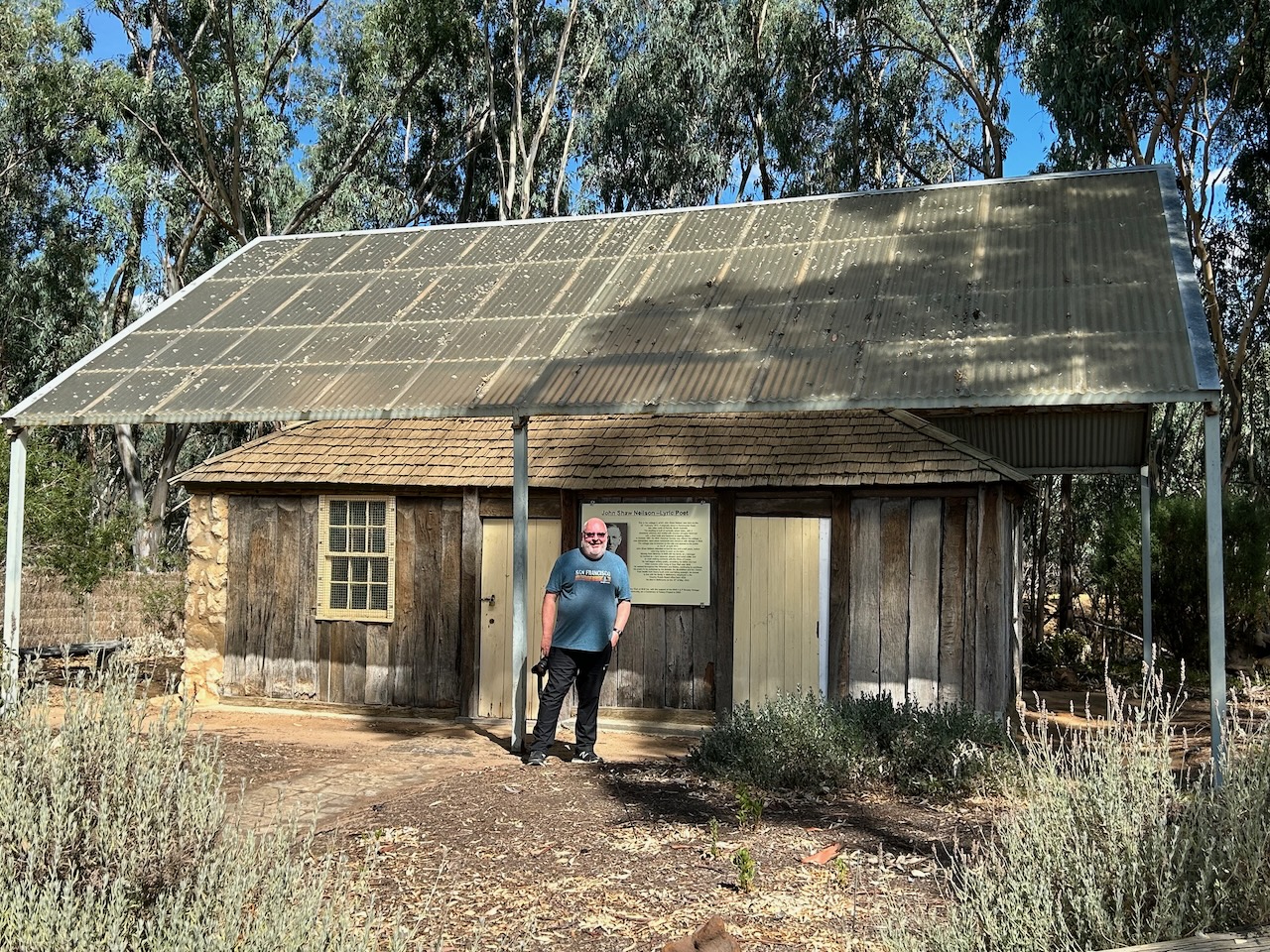
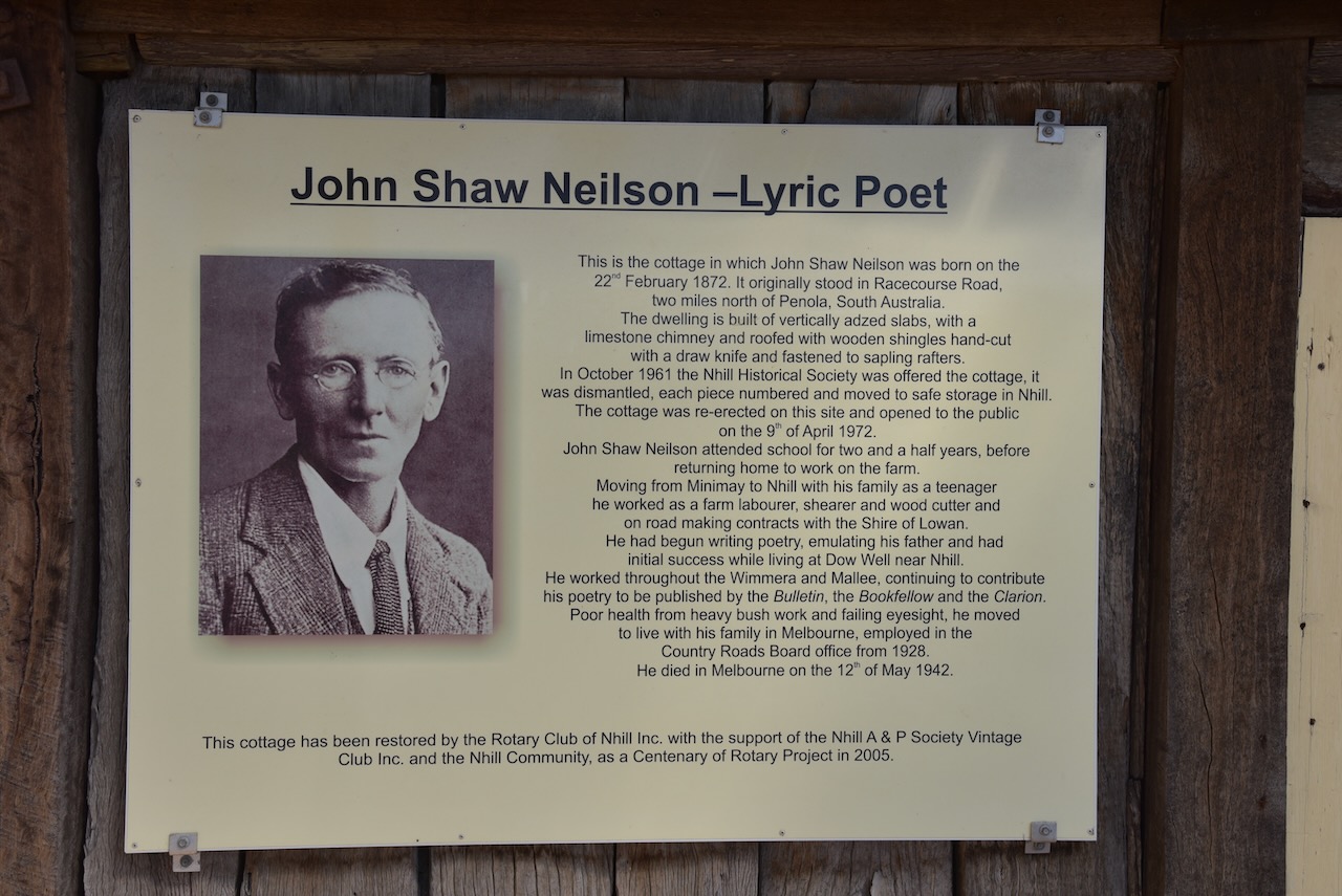
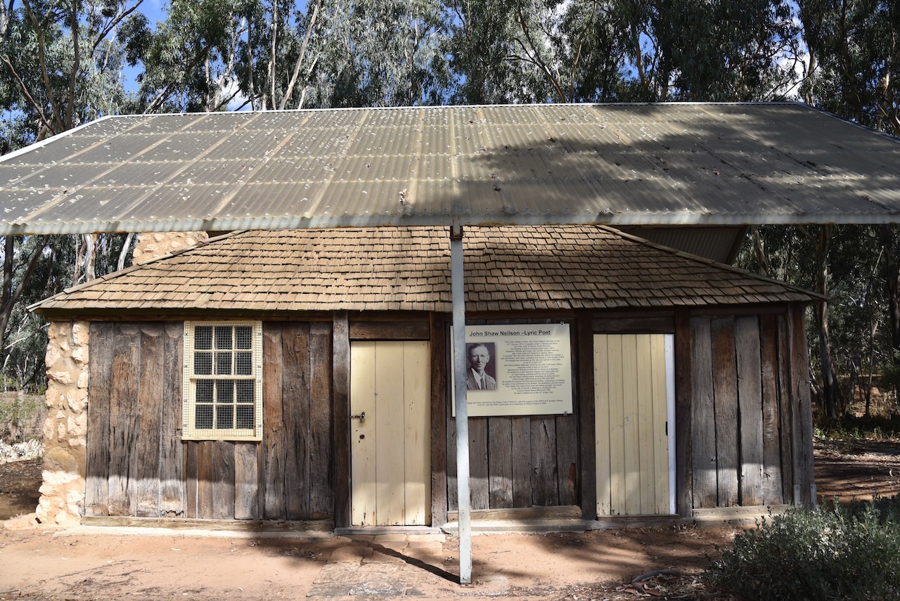
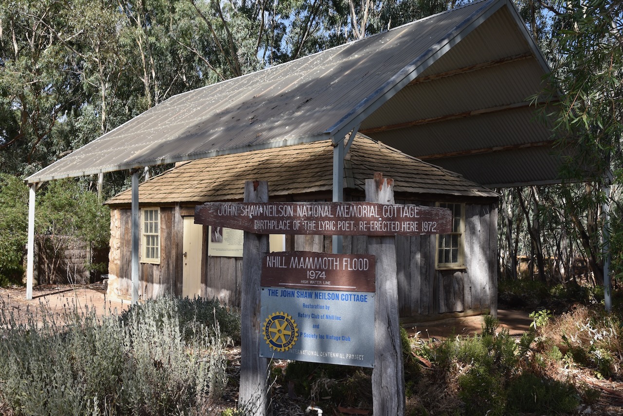
Nhill is the birthplace of one of Australia’s most admired Lyric Poet, John Shaw Neilson. His cottage in which he was born on the 22nd day of February 1872, can be found in the town. It was originally located on Racecourse Road but was relocated and restored by the Rotary Club of Nhill. In October 1961 the cottage was offered to the Nhill Historical Society and it was dismantled, with each piece being numbered and then moved to safe storage in Nhill. It was then re-erected and opened to the public on the 9th day of April 1972. It can be found at the Nhill Jaypex Public Park on the Western Highway.
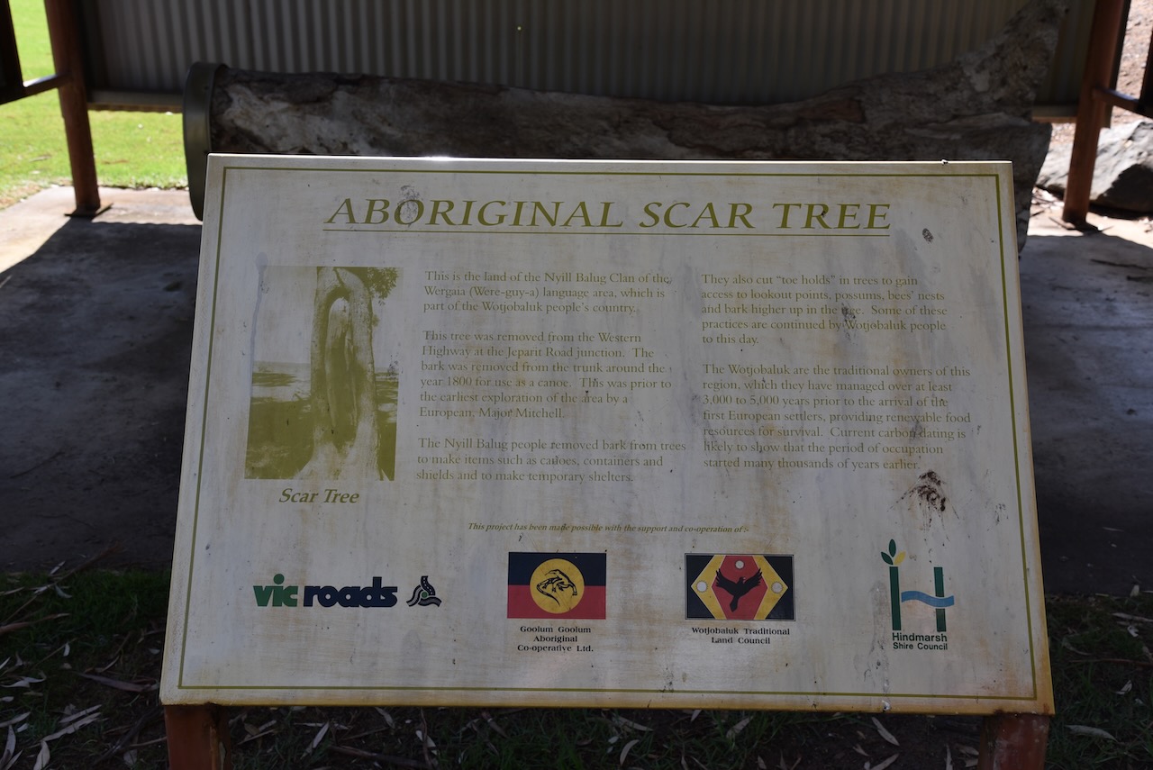
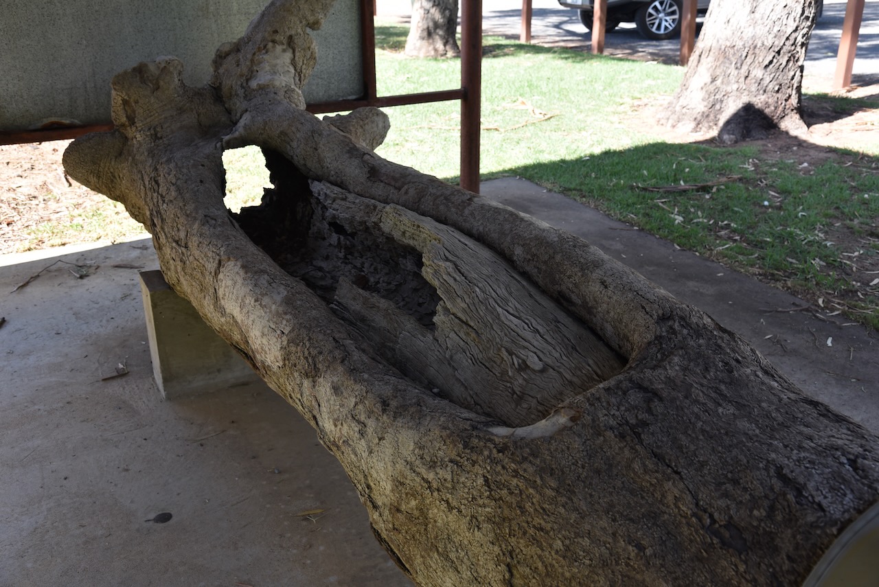
Also at the park, you can find an aboriginal scar tree. It was removed from the Western Highway at the Jeparit Road junction. It is believed the bark was removed from the tree trunk in about 1800 for use as a canoe. This was prior to the earliest European exploration of the area by Major Mitchell.
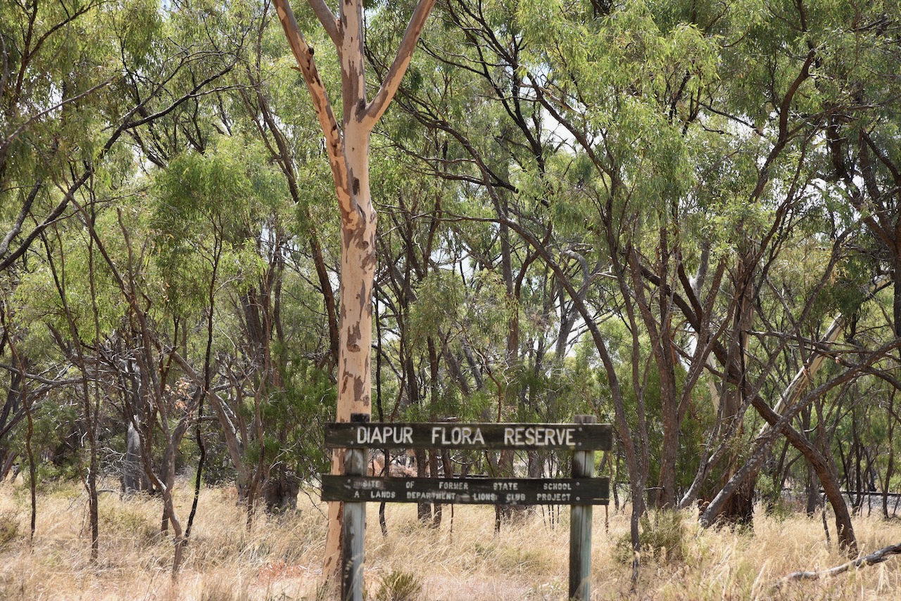
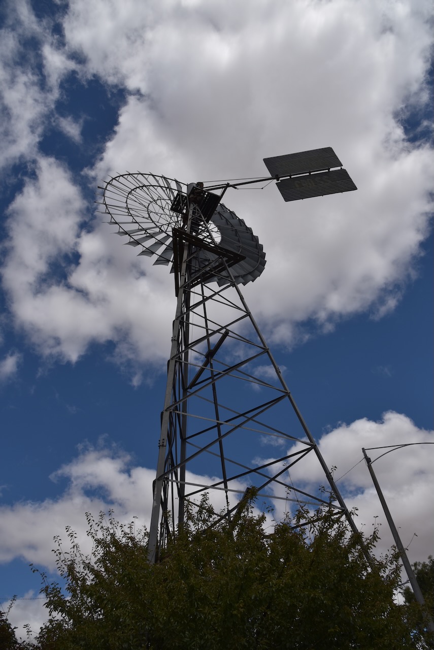
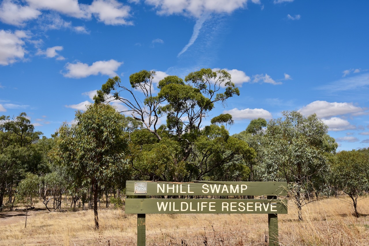
Marija and I decided to do a joint park and silo activation at Nhill. The northern section of the Nhill Swamp Wildlife Reserve VKFF-2412 is within the activation zone for the silo.
The Nhill Swamp Wildlife Reserve is 160 acres in size and is located on the southern side of the Western Highway, just beyond the Jaypex Public Park, and on the eastern side of the Nhill-Harrow Road.
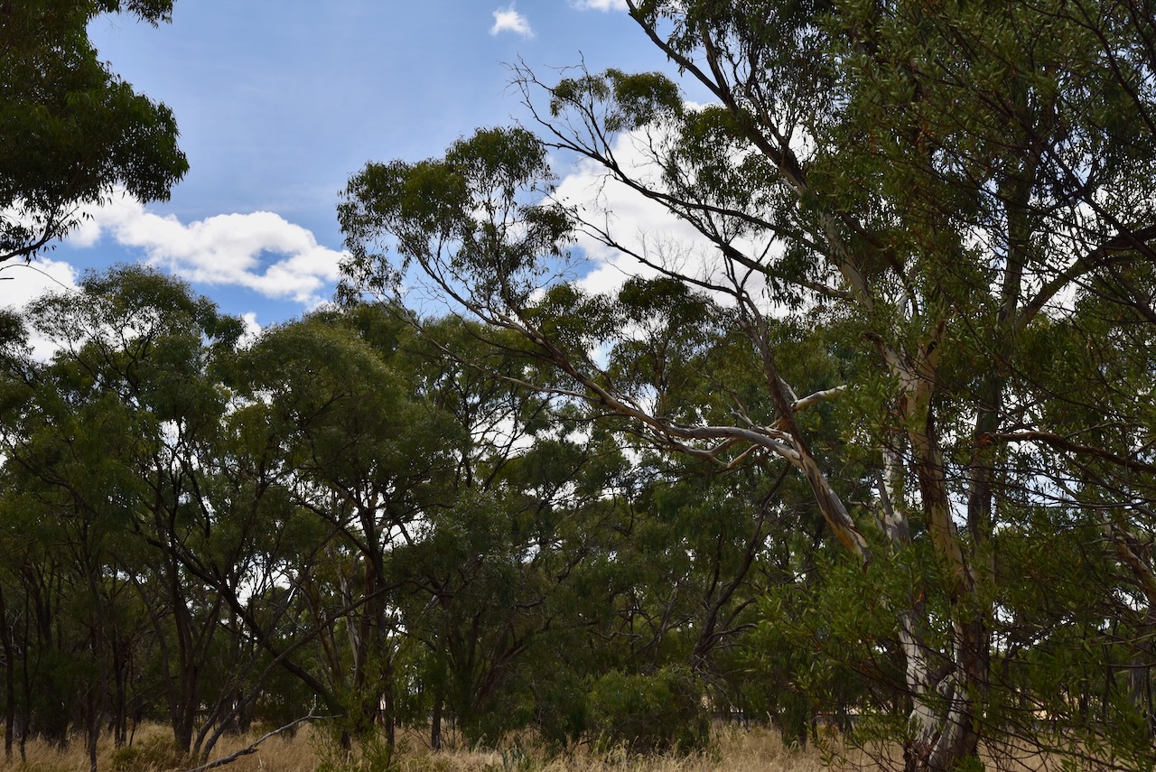
There is an excellent boardwalk that crosses the swamp and a birdhide.
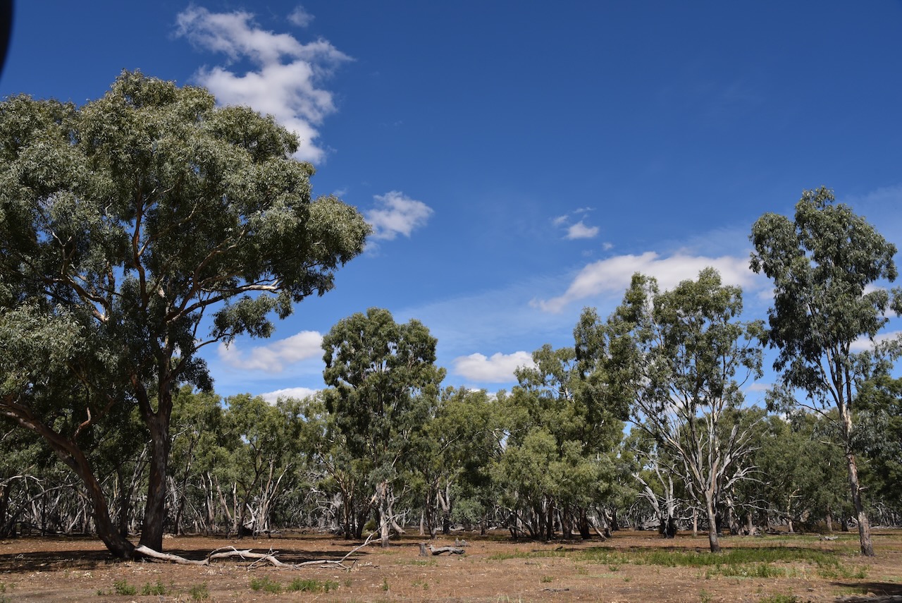
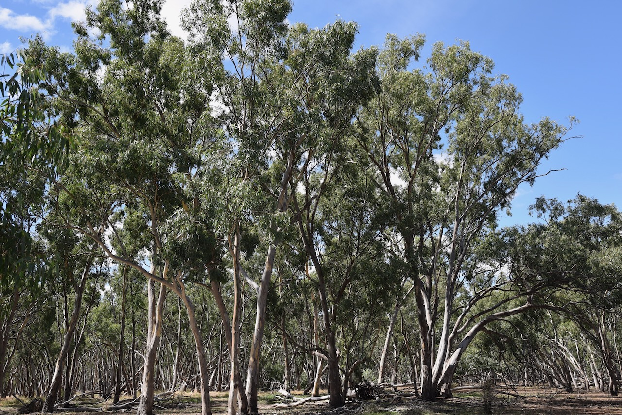
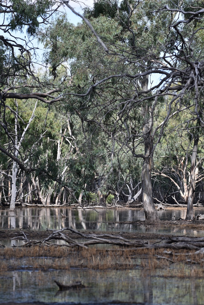
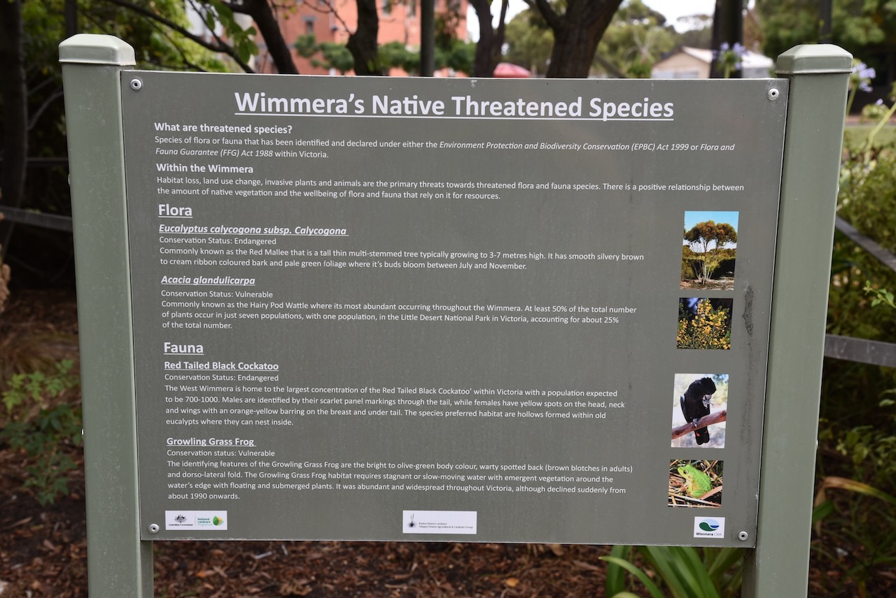
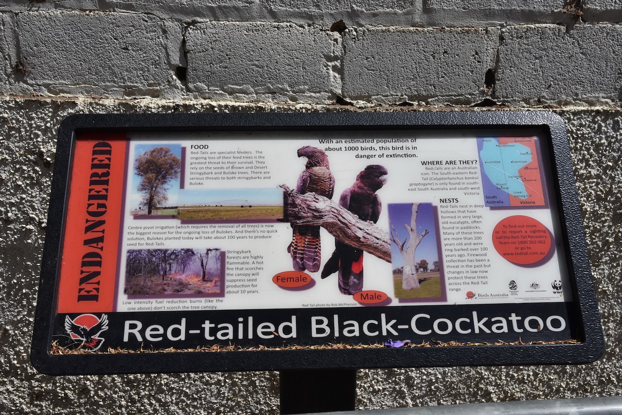
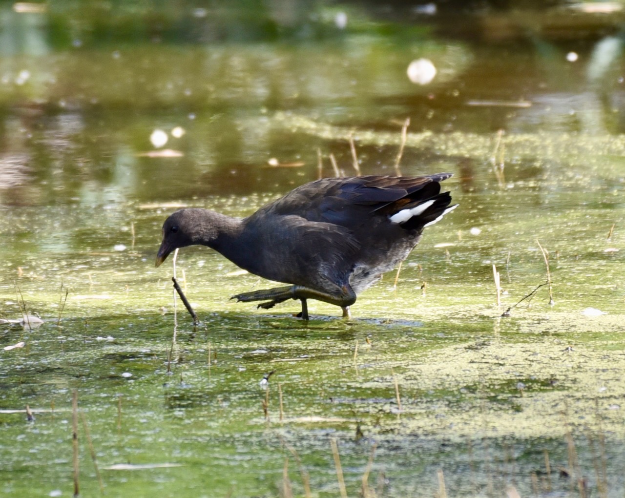
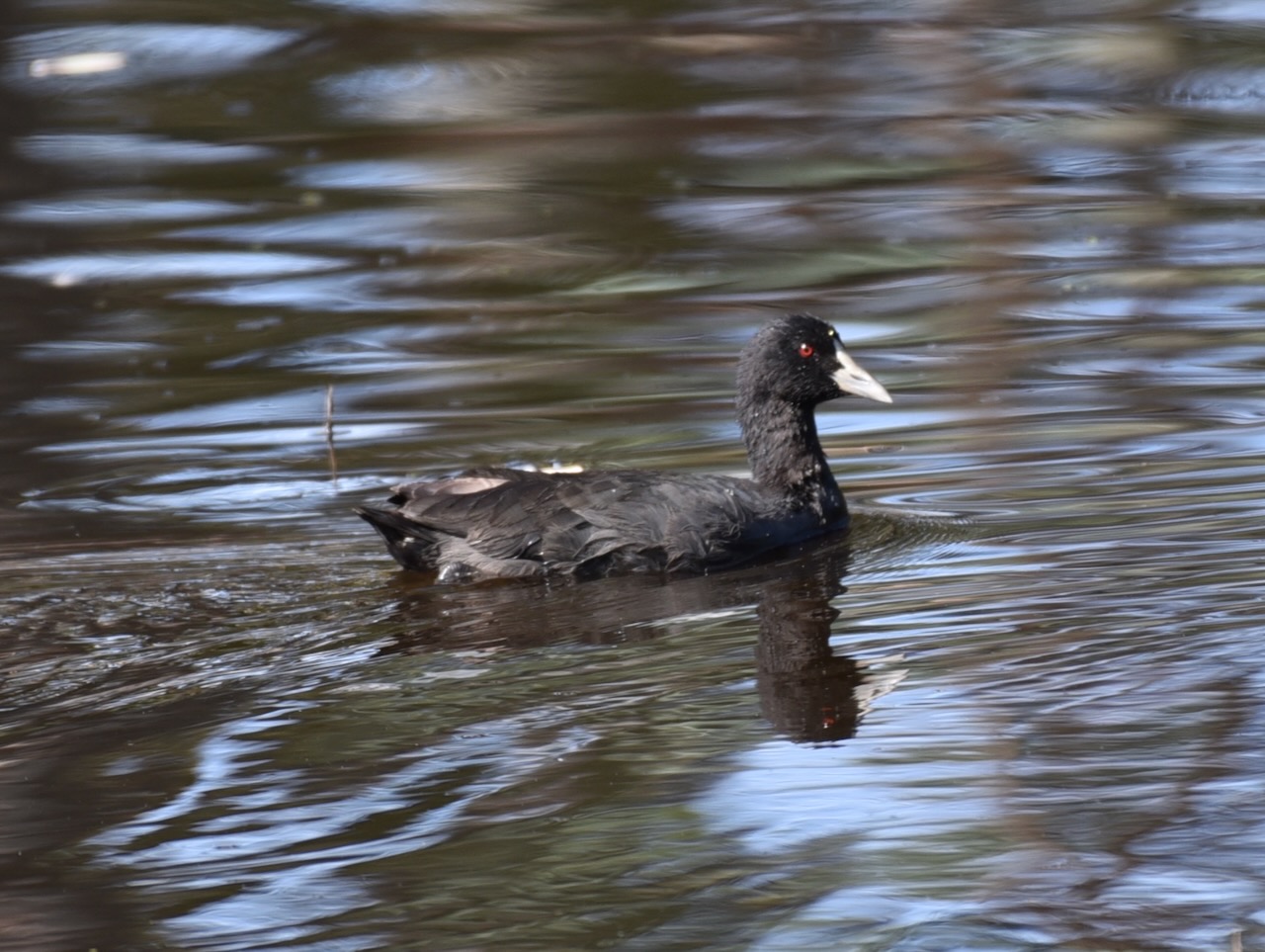
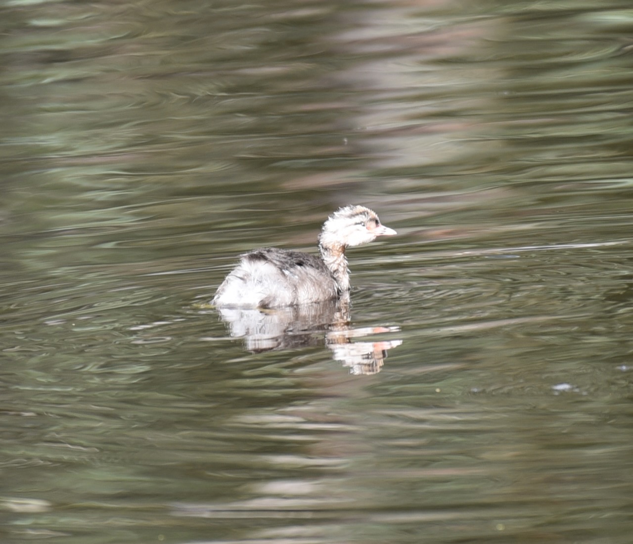
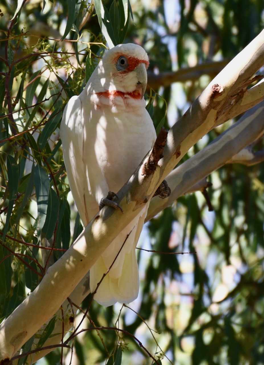
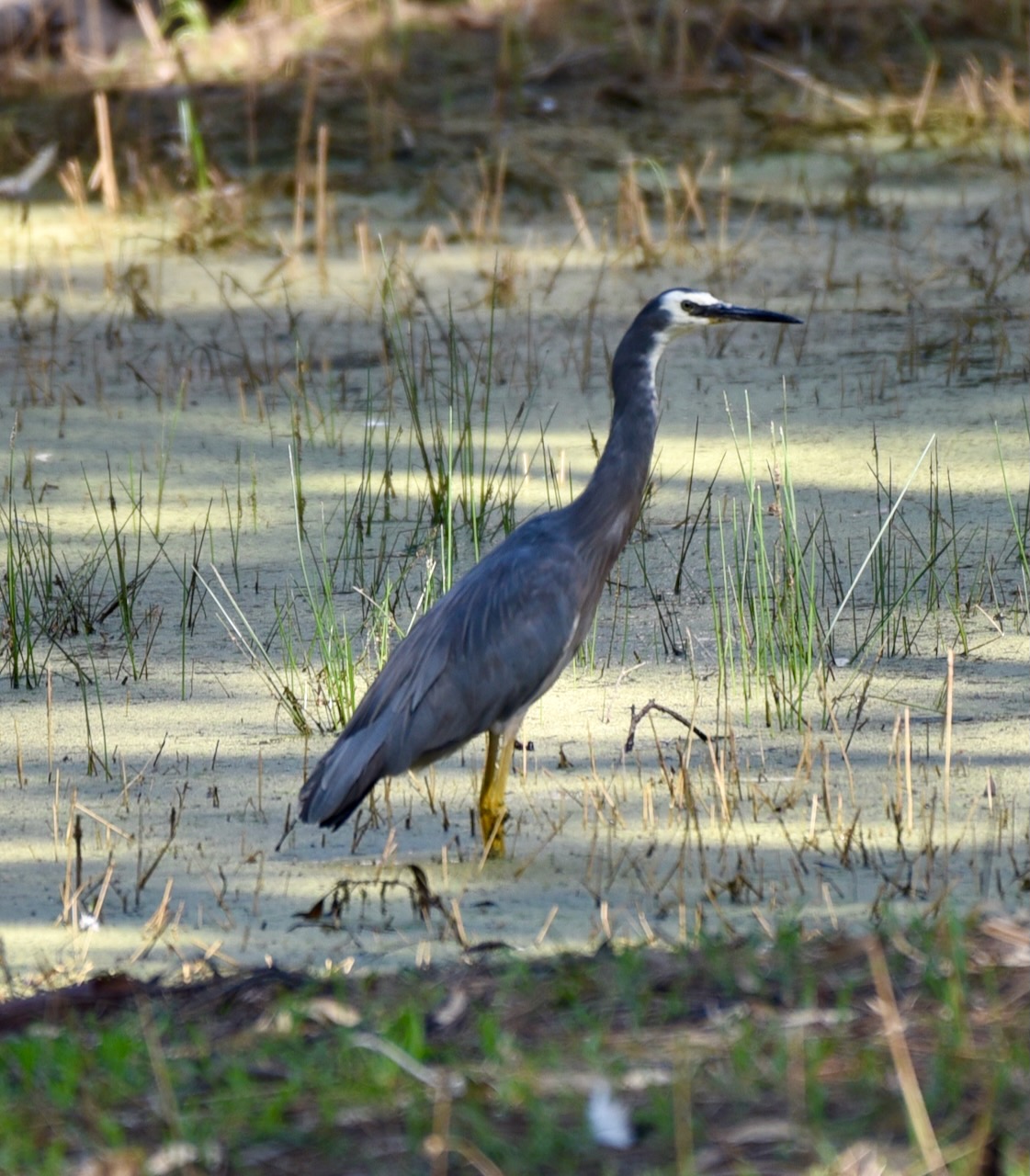
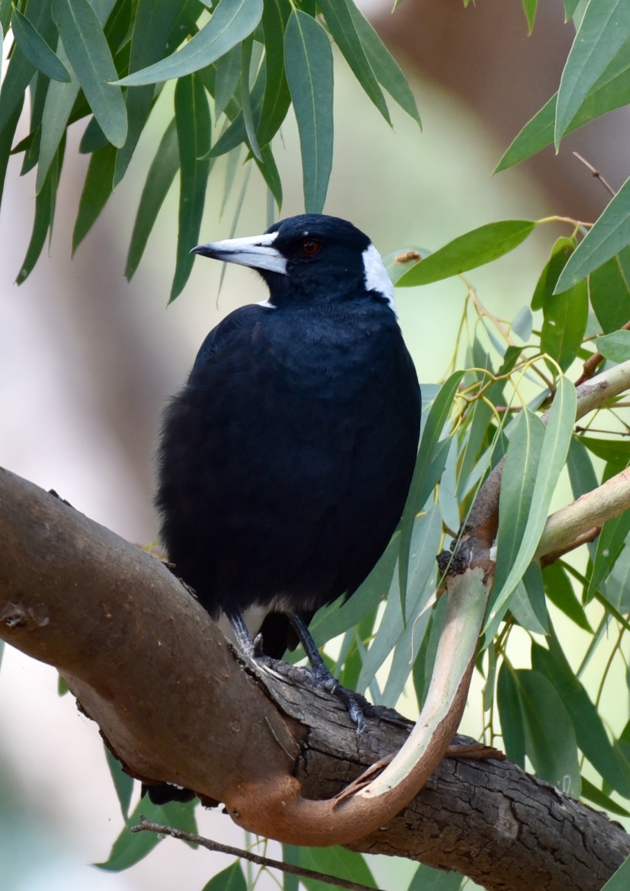
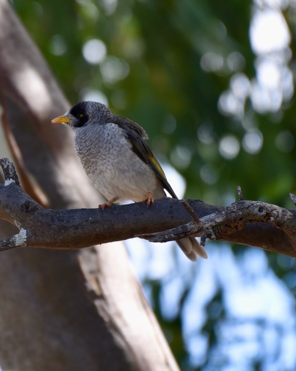
During our visit, there was a lot of water in the swamp, and as a result, there was an abundance of birdlife. I didn’t get to spend as long as I would have liked here, but below you can see some of the bird photographs which I took.
It is believed that the last large corroboree in the Wimmera region of Victoria was in 1866 at the Nhill swamp, when the Lake Hindmarsh, Dimboola, Mortat and Tyatyalla tribes gathered to dance and celebrate at the swamp.
It was probably 1941 before a similar type of “white man” gathering was held at the swamp in the form of the NHILL Scout regatta. Another ritual of sorts was Guy Fawkes night by the Swamp.
During the 1900s the swamp saw a considerable amount of duck shooting during Duck Season. It was not uncommon for 1,000 ducks to be shot in the opening day. As early as the early part of the 1900s attempts were made to have the swamp declared a sanctuary. Opponents stated that ducks required culling as they destroyed farmer’s crops and that ducks would spread disease amongst the congested wildlife as there were too many ducks.
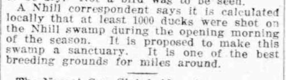
Above:- part of an article from the Weekly Times, Melbourne, Sat 21 Feb 1914. c/o Trove
In 1911 a typhoid outbreak in Nhill was blamed on the Nhill swamp. In March 1911 the Ballarat Star stated:-
“The Nhill Swamp, during the last three or four weeks developed an all-pervading and ominous odour, while the water has taken on the tinge of pale mustard.
As the whole of the filth of the town is carried by the gutters and drains into the Swamp in which the boys and youths bathe, and from which they take sackful’s of yabbies for the family supper, it does not seem illogical to connect the outbreak of typhoid with this unsavoury state of affairs.
Five cases are in the NHILL hospital, but all are doing well. Captain Matsen, B.Sc. a veterinary surgeon, has a culture farm of bacteria taken from the delectable compound which turgidly oozes into the Swamp and he states that the microcosms are the most truculent villains he has seen.”
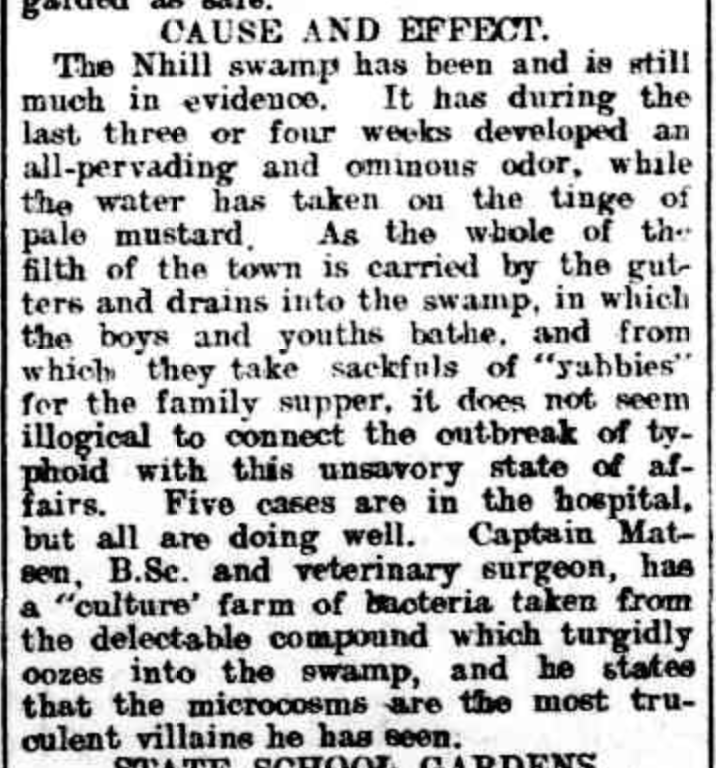
Above: Article from the Ballarat Star, Wed 15 Mar 1911. Image c/o Trove.
It was at about this time that it was suggested that the Nhill swamp be cleared of trees and made into a common and that ‘a considerable amount of revenue’ could be obtained by having cows paddocked there. It was suggested that ornamental trees could be planted around the swamp to make it ‘an attractive lake.’

Above:- Item from the Nhill Free Press, Tue 20 Oct 1914. Image c/o Trove.
In 1914 the beautification of the swamp was called for. The local Member Parliament for Lowan, James Menzies gave examples of Ballarat’s Lake Wendouree. He stated that with the clearing of timber and some landscape gardening, the swamp could be turned into a spot of beauty.
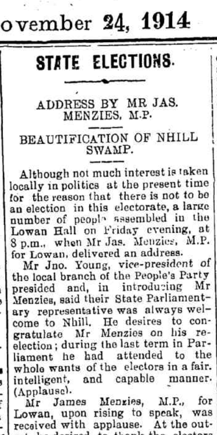
Above:- part of an article from the Nhill Free Press, Tue 24 Nov 1914. Image c/o Trove.
During 1915 the local Council did in fact clear about 32 large gum and box trees from the swamp. They used a ‘Bunyip Forest Devil’ for the job. It was a machine used for light and heavy timber felling. It pulled down a tree by mechanical leverage, sometimes with a winch.
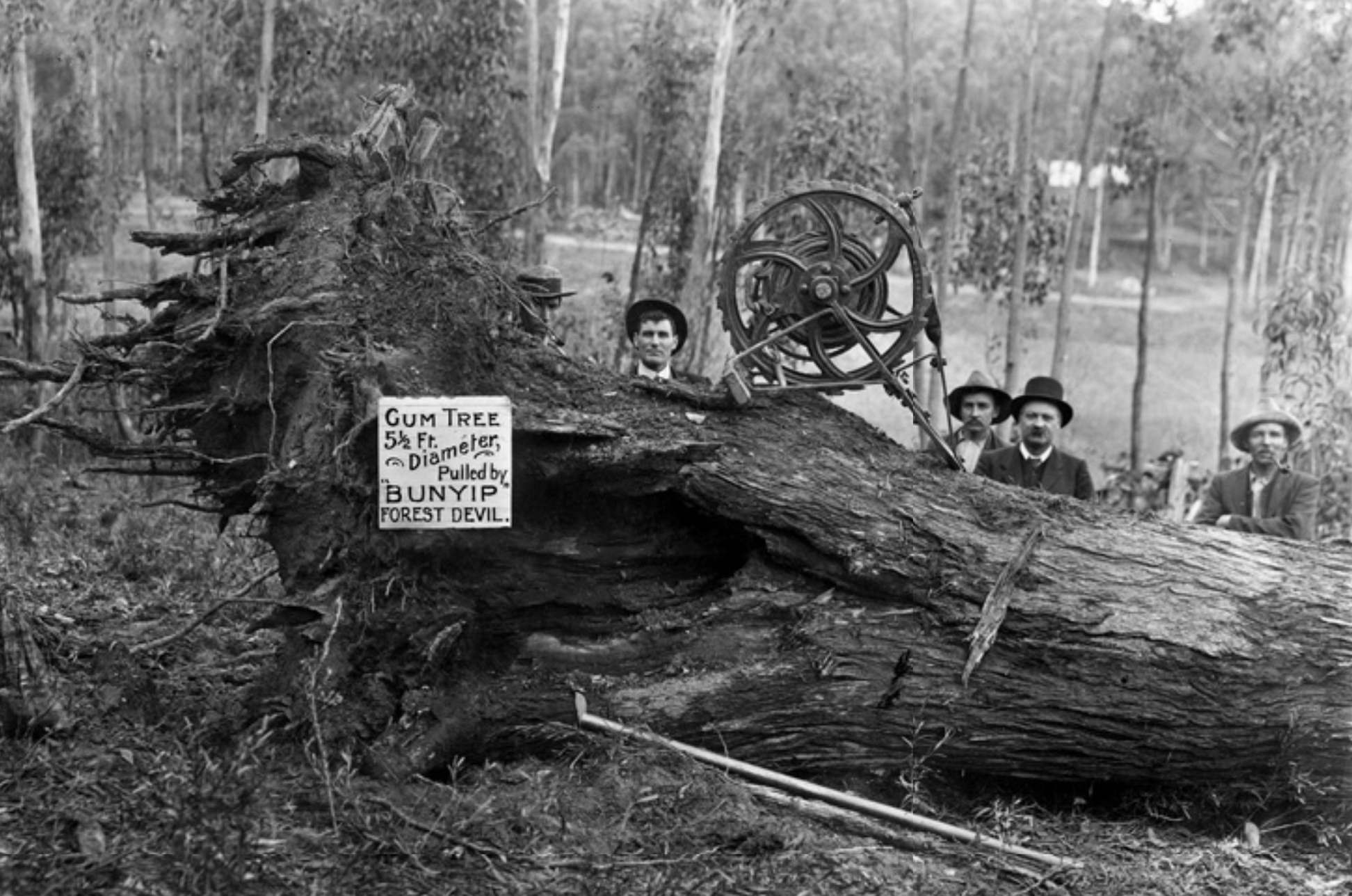
Above:- A Bunyip Forest Devil in action. Image c/o State Library South Australia.
Prior to the establishment of the Nhill public baths, the Nhill swamp was used as the local swimming hole and featured a diving board. In 1917, a letter to the Editor of the Nhill Free Press, suggested that a ‘proper dressing place’ be erected at the swamp and that ‘a number of young men and women who are good swimmers, volunteer each evening to coach our boys and girls in the art of swimming’.
Local stores including the Goldsworthy & Coles Big Store saw their opportunity and took advantage of the popularity of swimming at Nhill swamp, and commenced advertising bathing costumes.

Above:- A letter to the editor, Nhill Free Press, Tue 16 Jan 1917. Image c/o Trove.
During the mid 1930s a malaria scare occurred at Nhill which was blamed on the swamp. A local doctor urged that the council treat the swamp with crude oil.
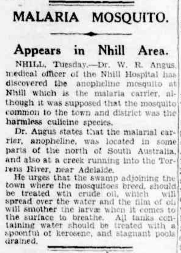
Above:- article from The Age, Melbourne, Wed 24 Feb 1937. Image c/o Trove.
The swamp has been the scene of some very interesting cases over the years.
In 1910 the Chronicle reported a ‘horse suicide’ at the swamp, claiming a horse broke through a fence and ‘dashed straight into a swamp close b and was drowned’.

Above:- Article from the Chronicle, Adelaide, Sat 31 Dec 1910. Image c/o Trove.
In 1909 an alligator escaped from a sideshow and was found at the Nhill swamp.
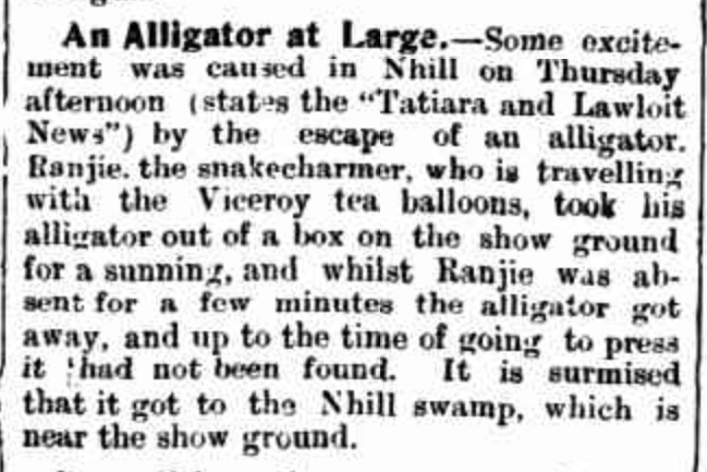
Above:- Article from The Narracoorte Herald, Tue 16 Nov 1909. Image c/o Trove
The swamp has also been home to a motoring gymkhana, and has been the backdrop to a Country Fire Authority film.
Flooding from the swamp has occurred many times over the years. In 1910 it was reported that:
“our so called swamp is now a fine sheet of water, approaching nine miles in circumference, and in parts from 12 to 15 feet deep”.
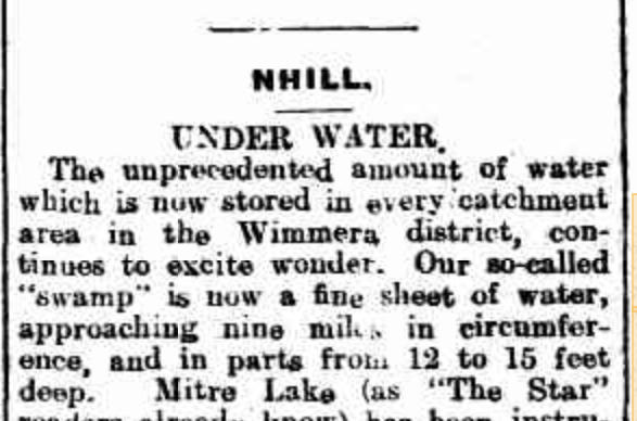
Above:- Article from The Ballarat Star, Thu 13 Oct 1910. Image c/o Trove
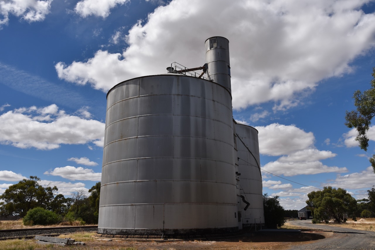
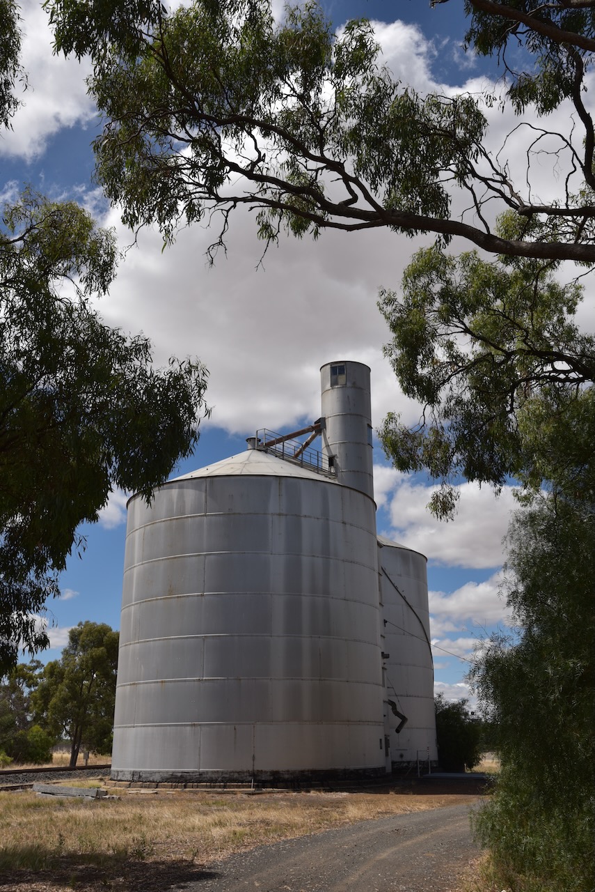
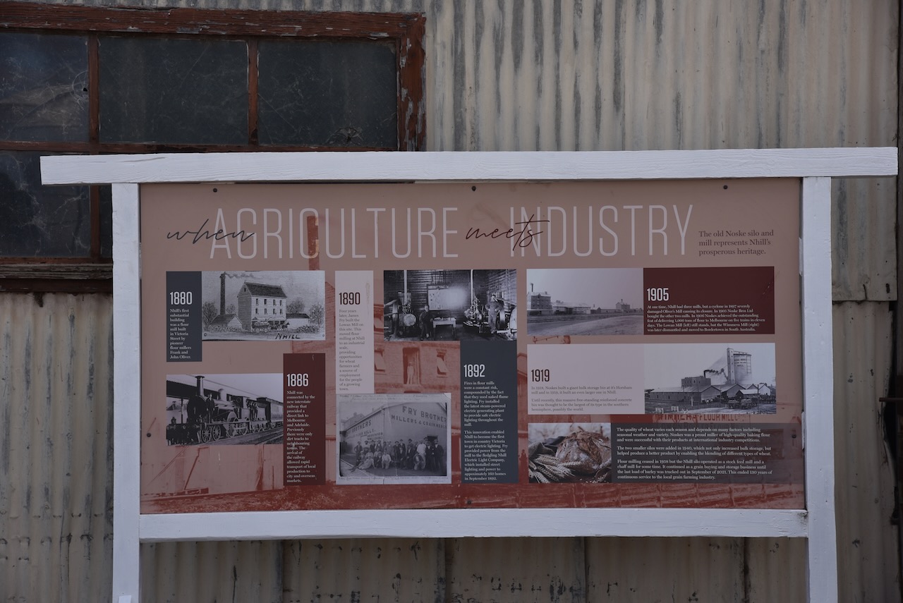
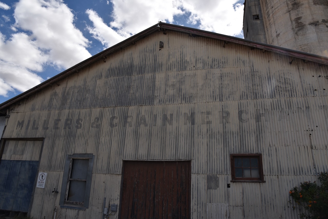
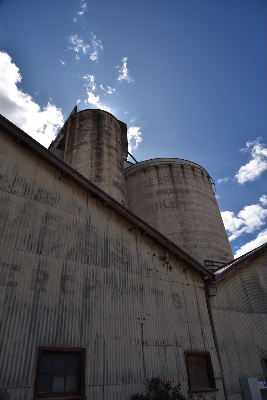
The history of the flour mill and silo at Nhill is interesting, and even more so for me as it involves the Noske family. My grandfather was a Noske and directly related to the Noske family who were involved in the mill and silo at Nhill.
In 1900 Traugott Johann Noske (b. 1866. d. 1948) purchased the Horsham flour mill which had been built in 1873 by John Gillies. In 1903 Traugott formed a partnership with W.A. Gunn and W.H. Nichterlein and they purchased a mill at Warracknabeal. In 1905 that mill was sold and the Wimmera and Lowan mills at Nhill were purchased. He also purchased the Arapiles mill at Natimuk which was destroyed by fire in 1920. The company became Noske Bros in 1909 and in 1919 a Proprietary company.
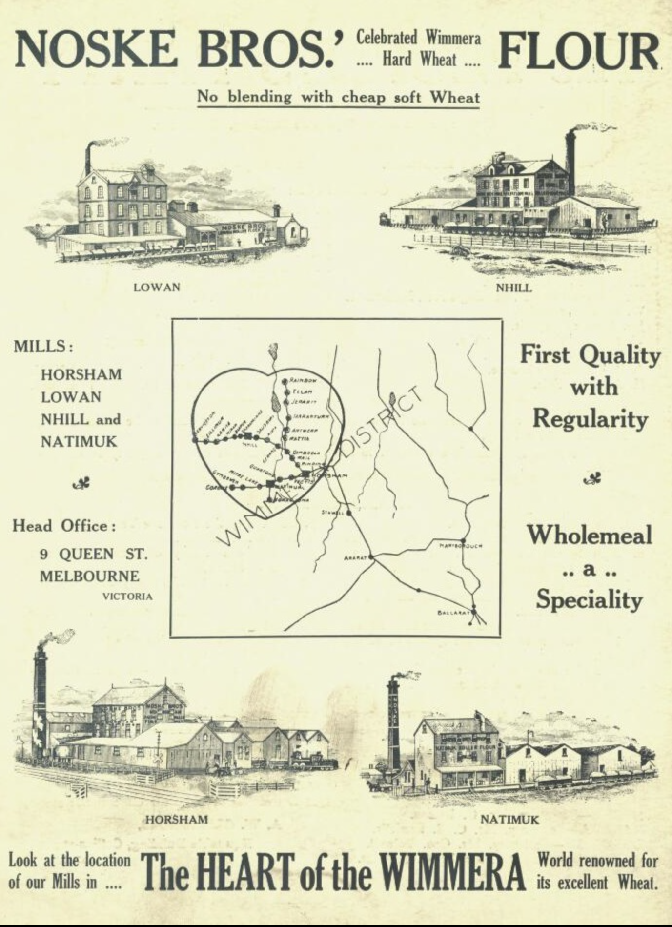
Above:- Noske Bros advertisement. Image c/o Treasures of Nhill & Districts Facebook page.
In 1914 the flour mill at Bordertown in South Australia was purchased. This was sold in 1920 not long after the flour mills at Charlton and Wycheproof had been purchased.
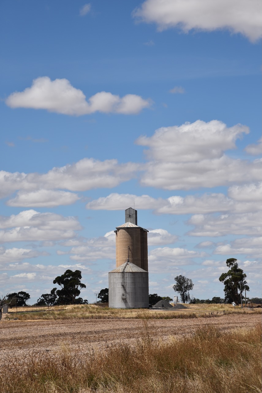
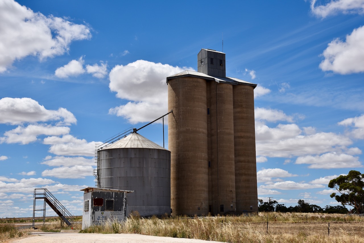
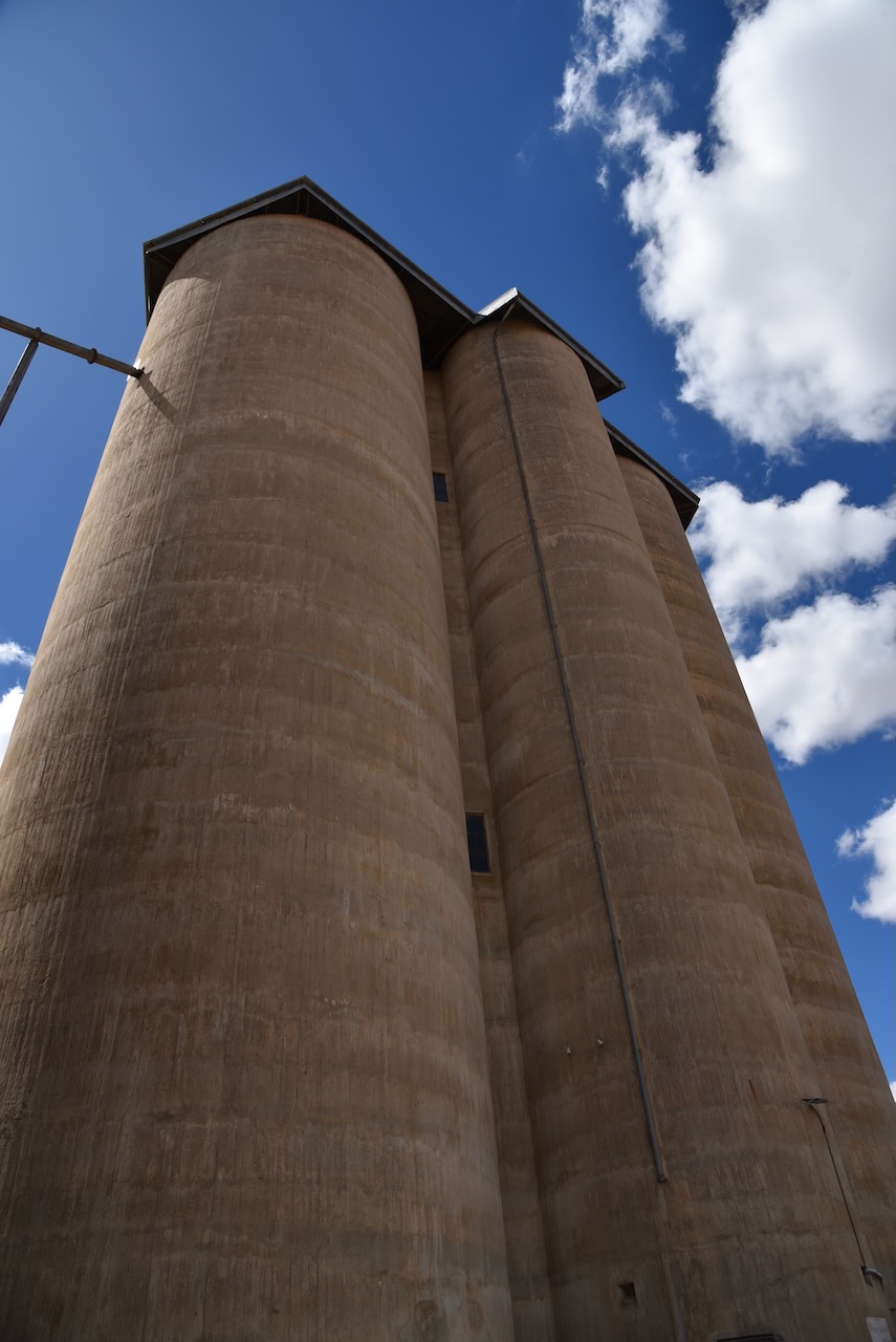
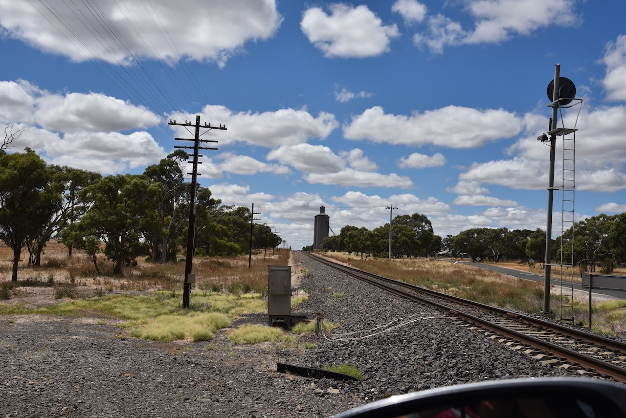
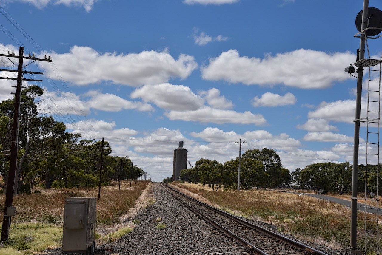
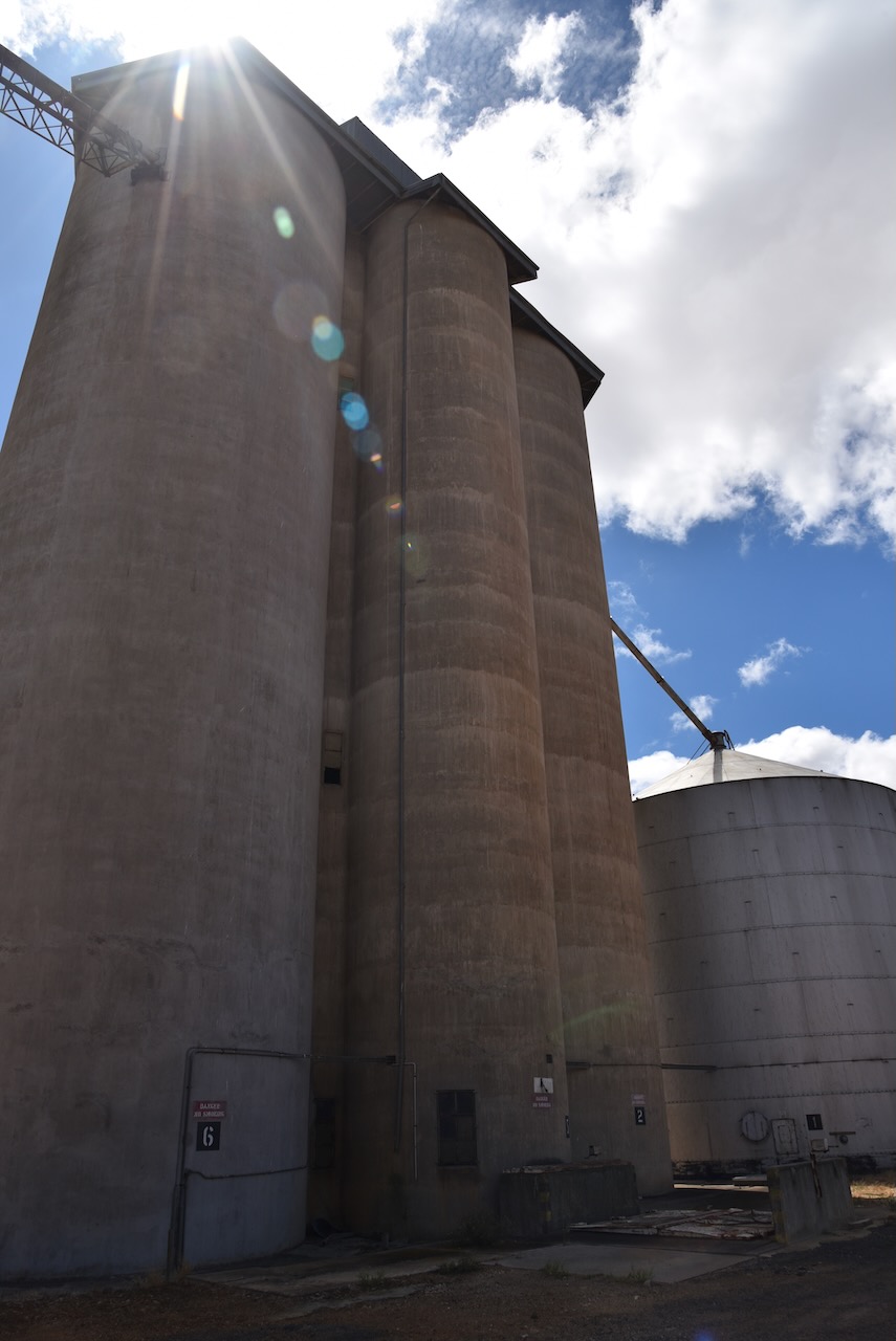
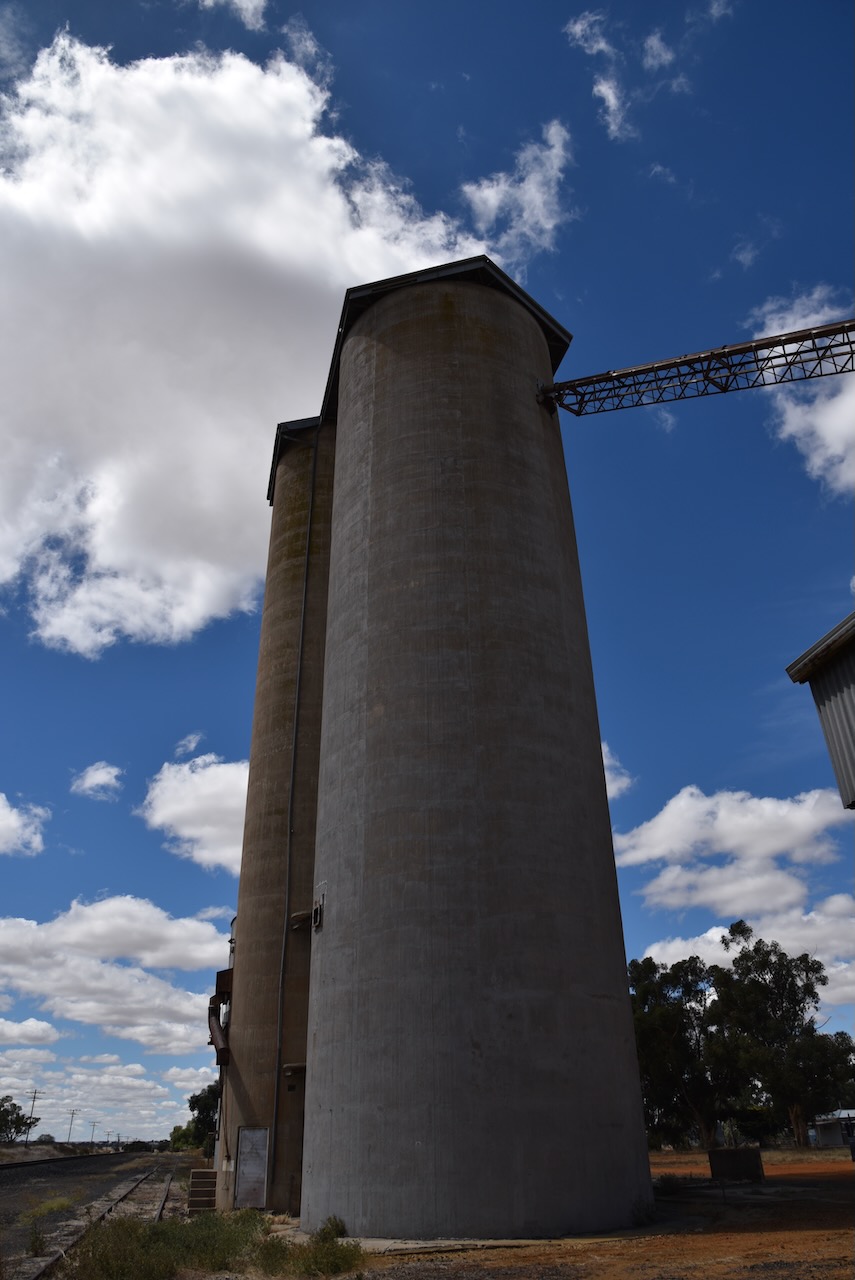
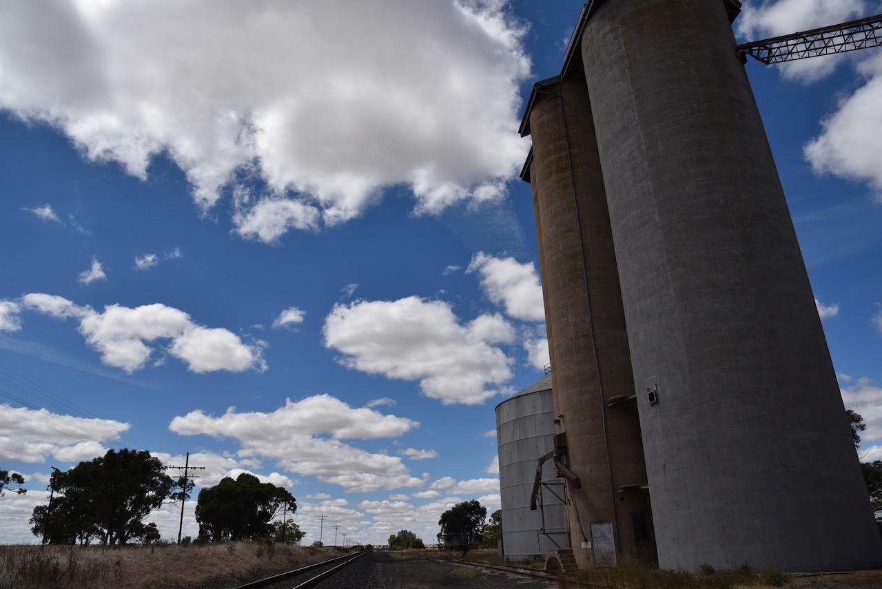
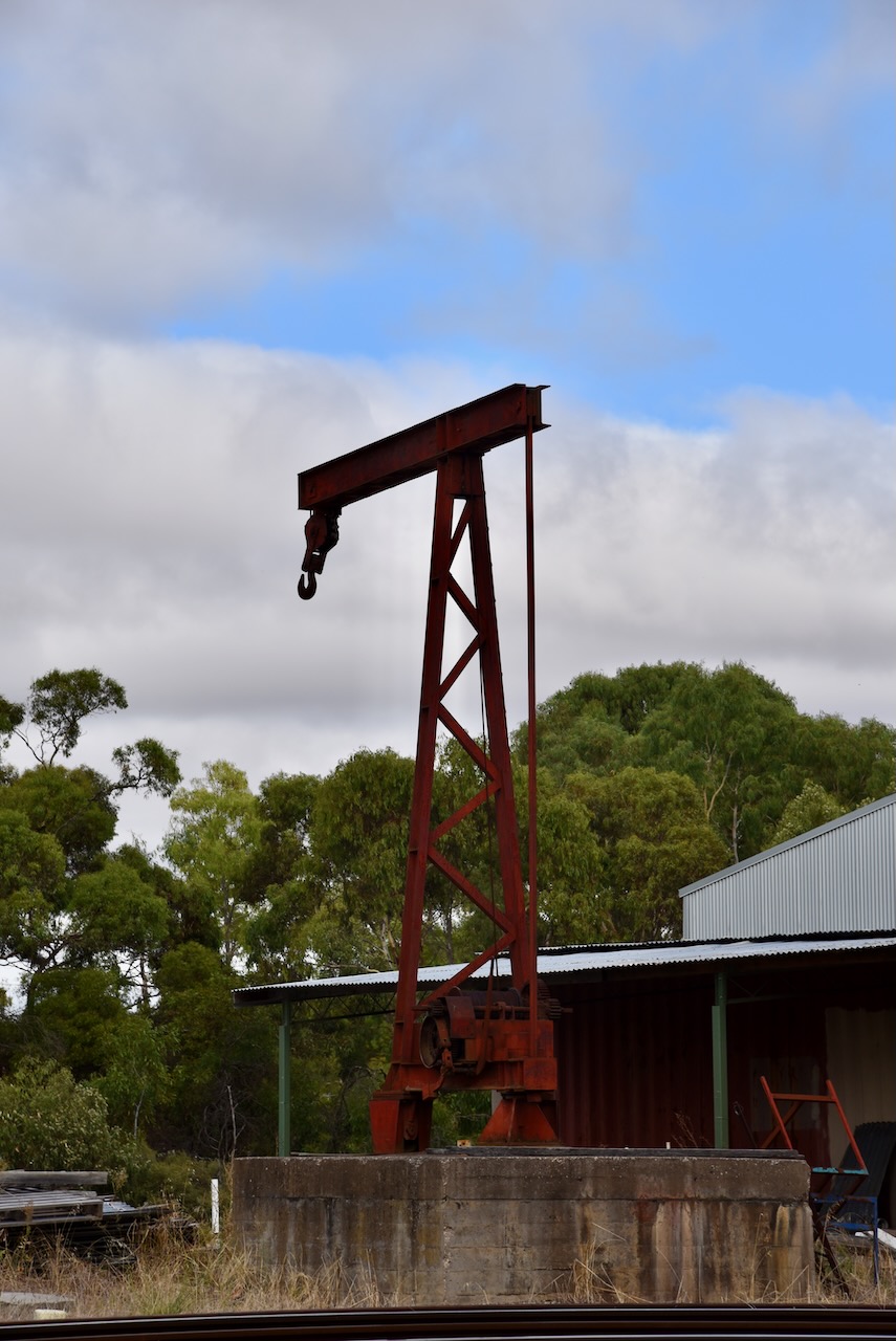
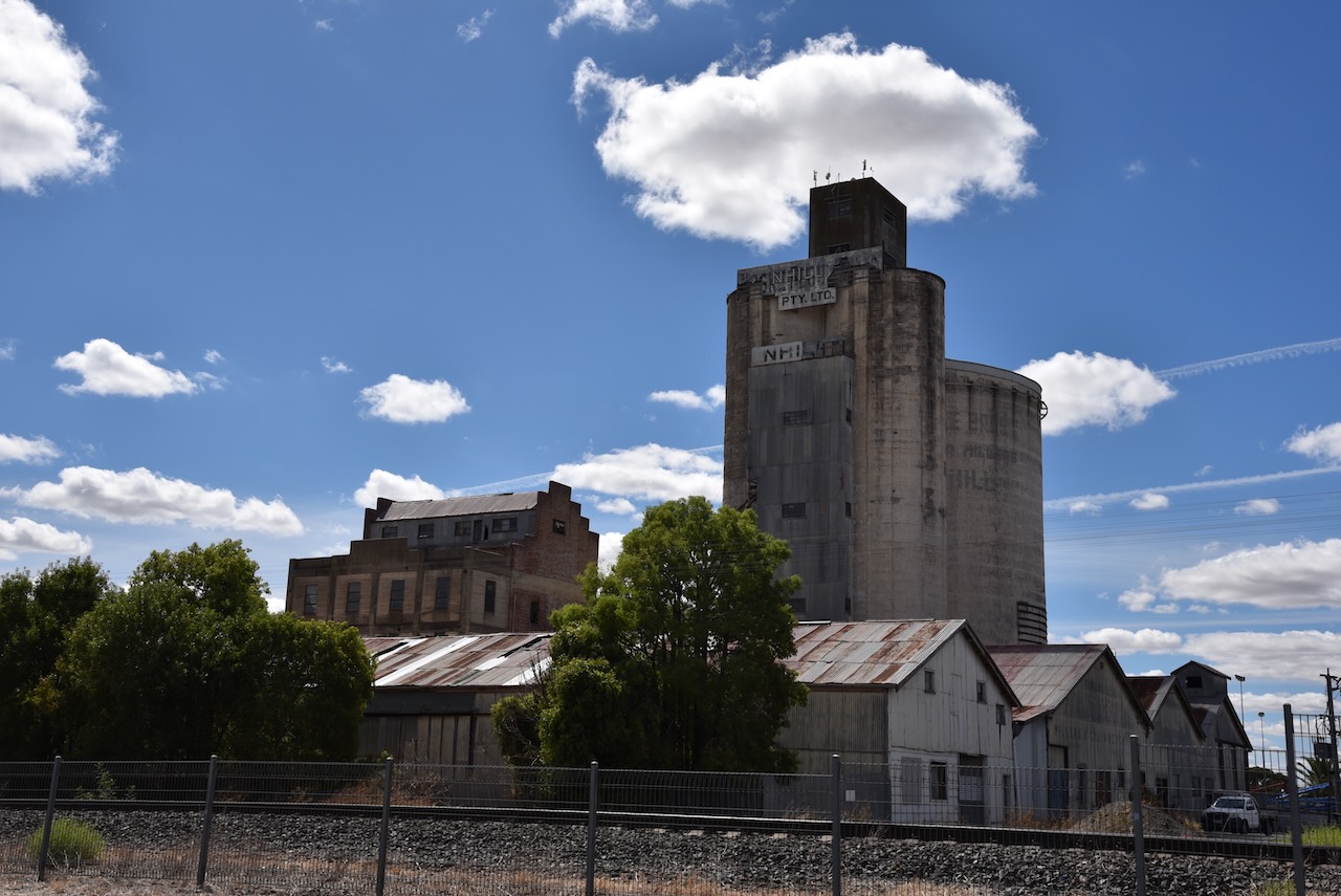
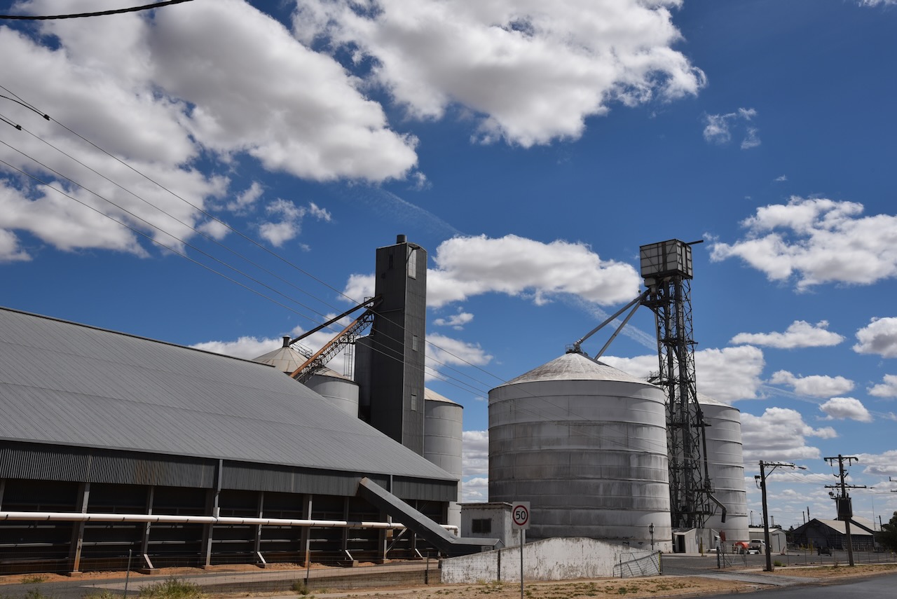
In 1918 Traugott Noske and his brother Ernest Noske arranged to have built a large bulk storage bin built at their Horsham mill. In 1919 they built an even larger one at Nhill. It was designed by James Batson. The silo at Nhill is the largest single-cell concrete grain silo in the Southern Hemisphere. The silo is 100 feet tall with a diameter of 50 feet. It has a capacity of 135,000+ bushels (3,674t) of wheat. The silo cost £7,000 to build which in today’s costs is the equivalent of about $AUD 676,784.49.
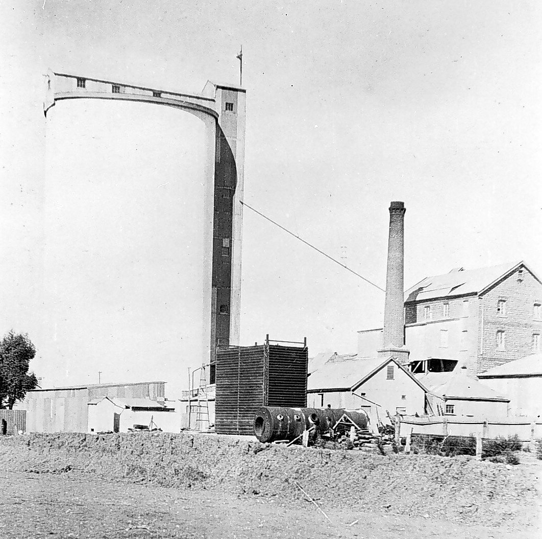
Above:- the Noske silo and mill at Nhill. Image c/o Museums Victoria.
In 1925 the flour mill in Murray Bridge was purchased. During the 1920s the Noske brothers had also invested in the Portland Cement Company. In 1927 a new flour mill was built at Charlton.
During the 1930s and the Great Depression, the Noske brothers faced bankruptcy but the business continued to trade. By the 1950s the Noske Company still had mills in Horsham, Nhill, Charlton, and Murray Bridge. The Nhill silo closed in 1958. In 1973 Noske Pty Ltd moved into stock feeding from flour milling, and the Murray Bridge mill closed.
The Nhill Silo Heritage Project seeks to purchase the silo complex on behalf of the Nhill & Districts community.
https://nhillsiloheritageproject.org/
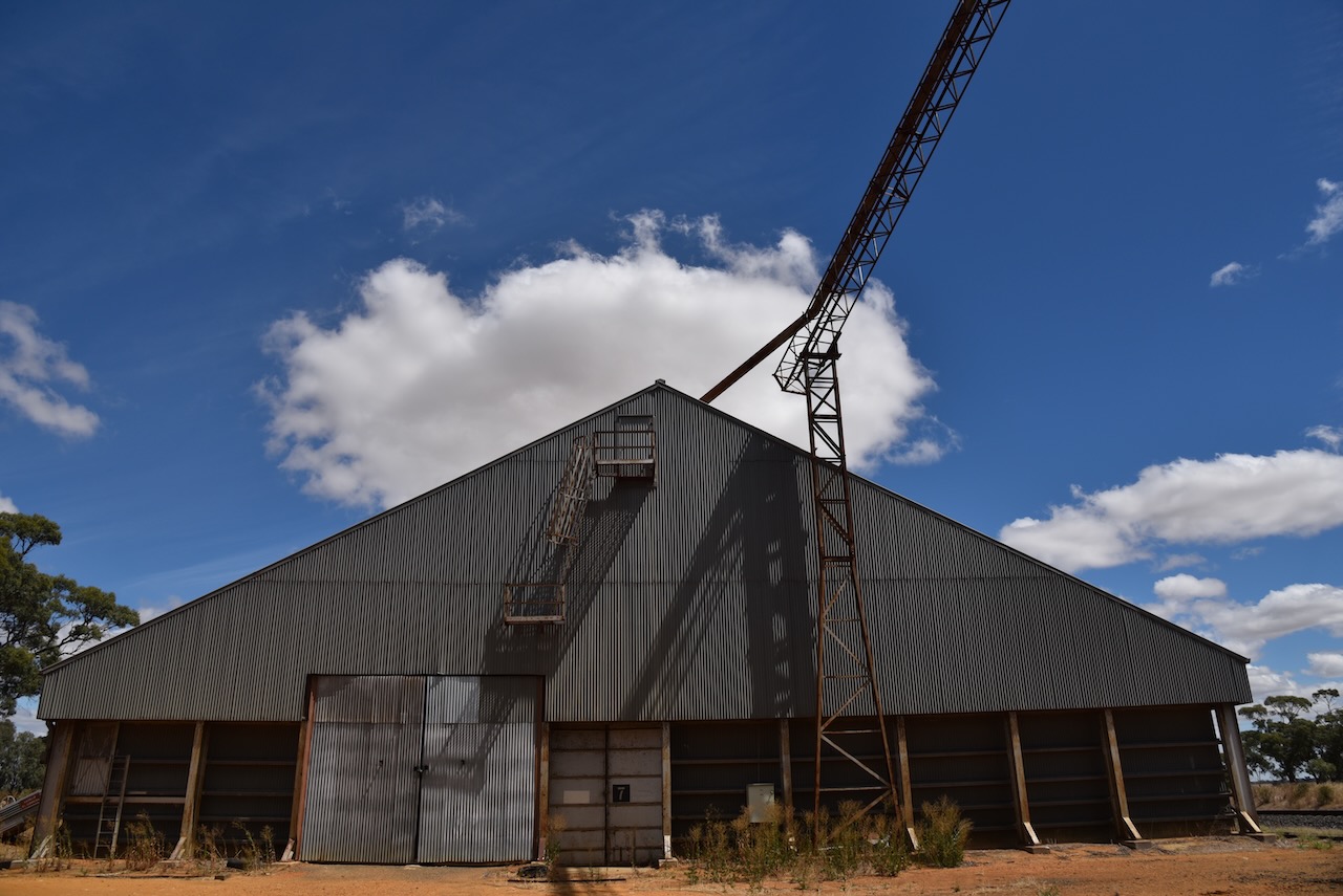
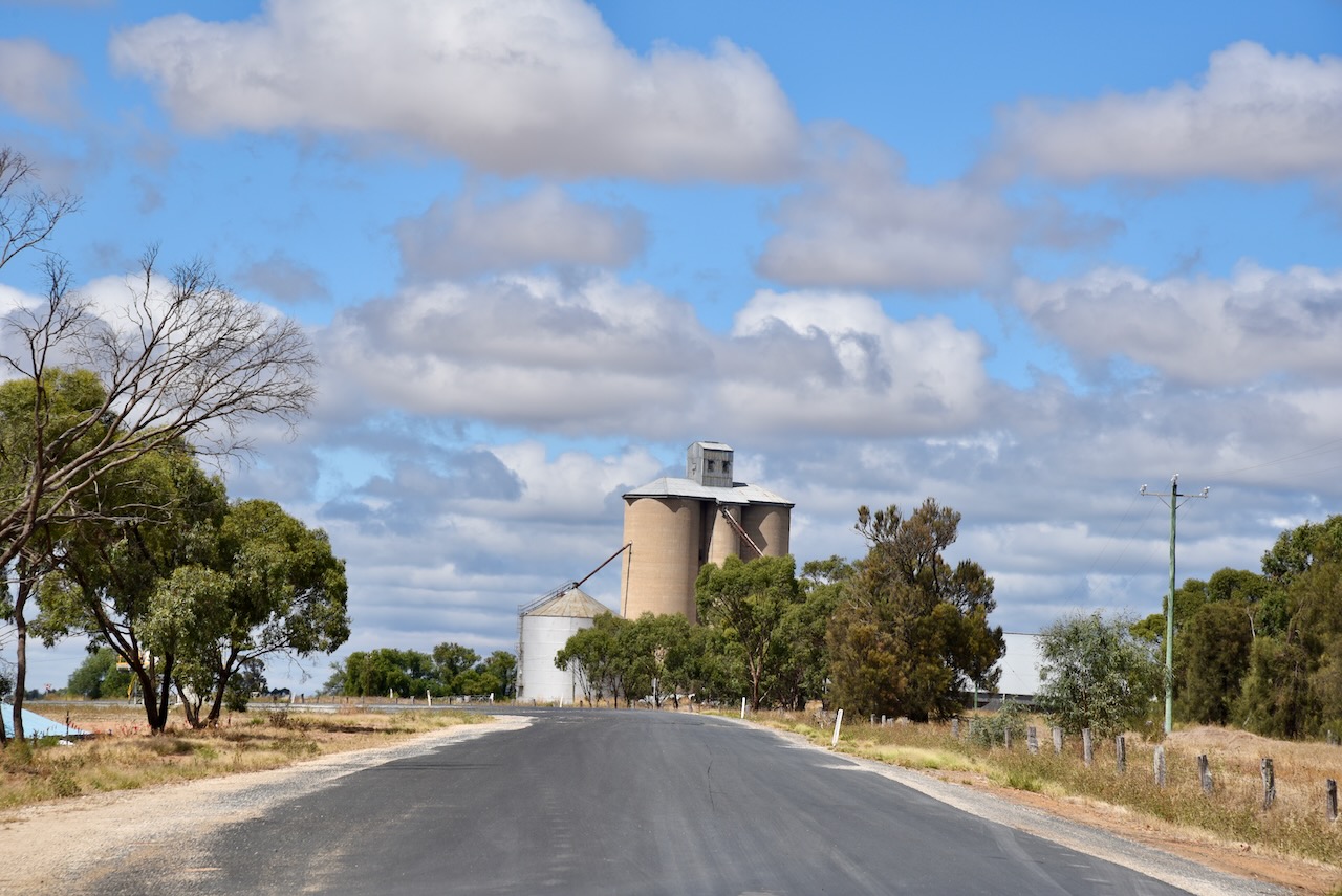
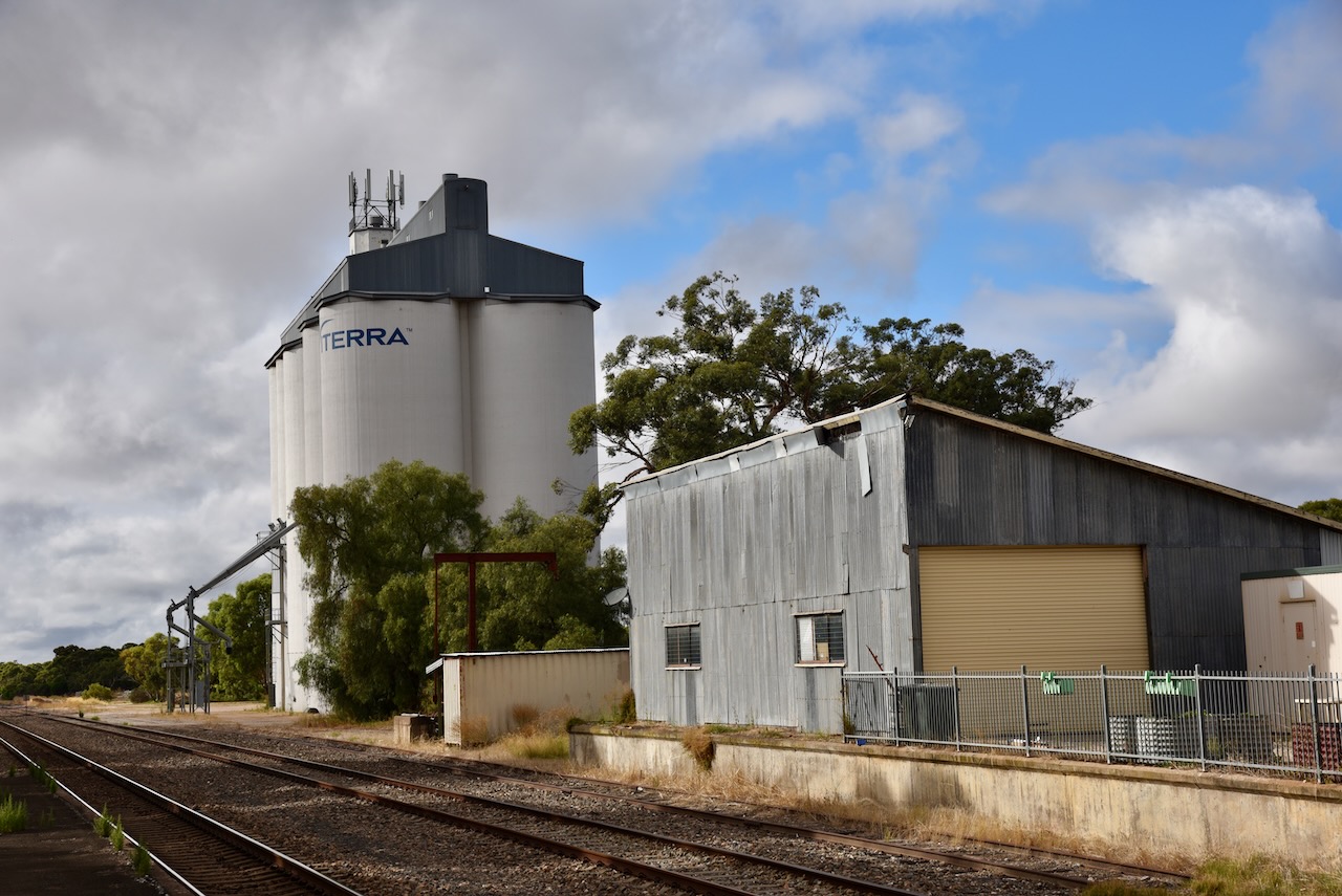
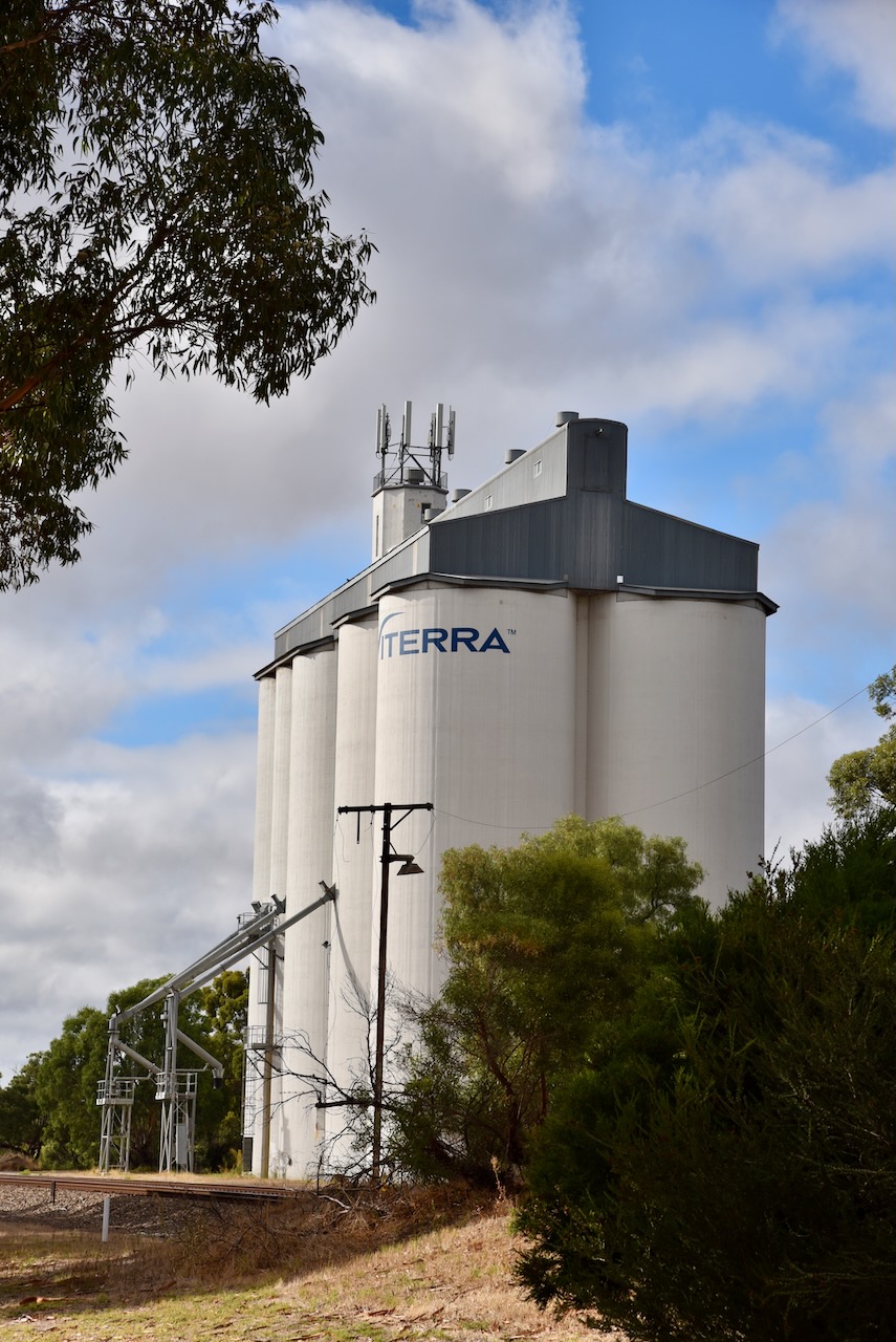
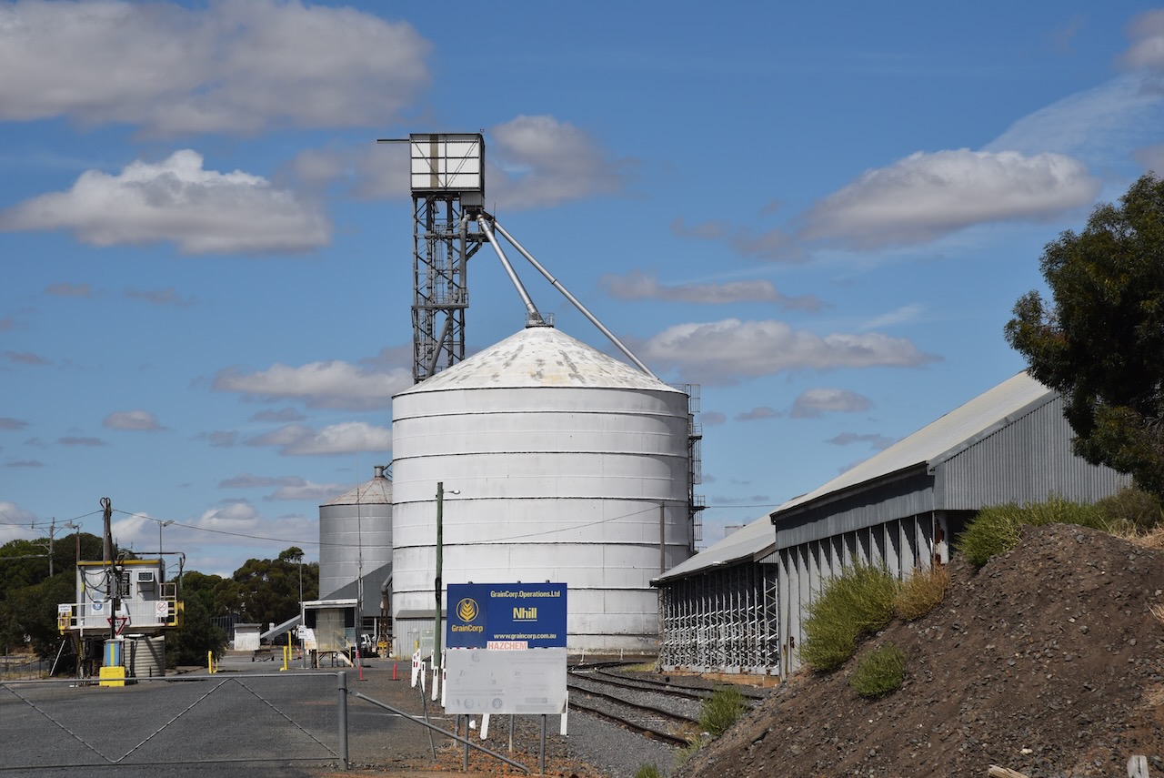
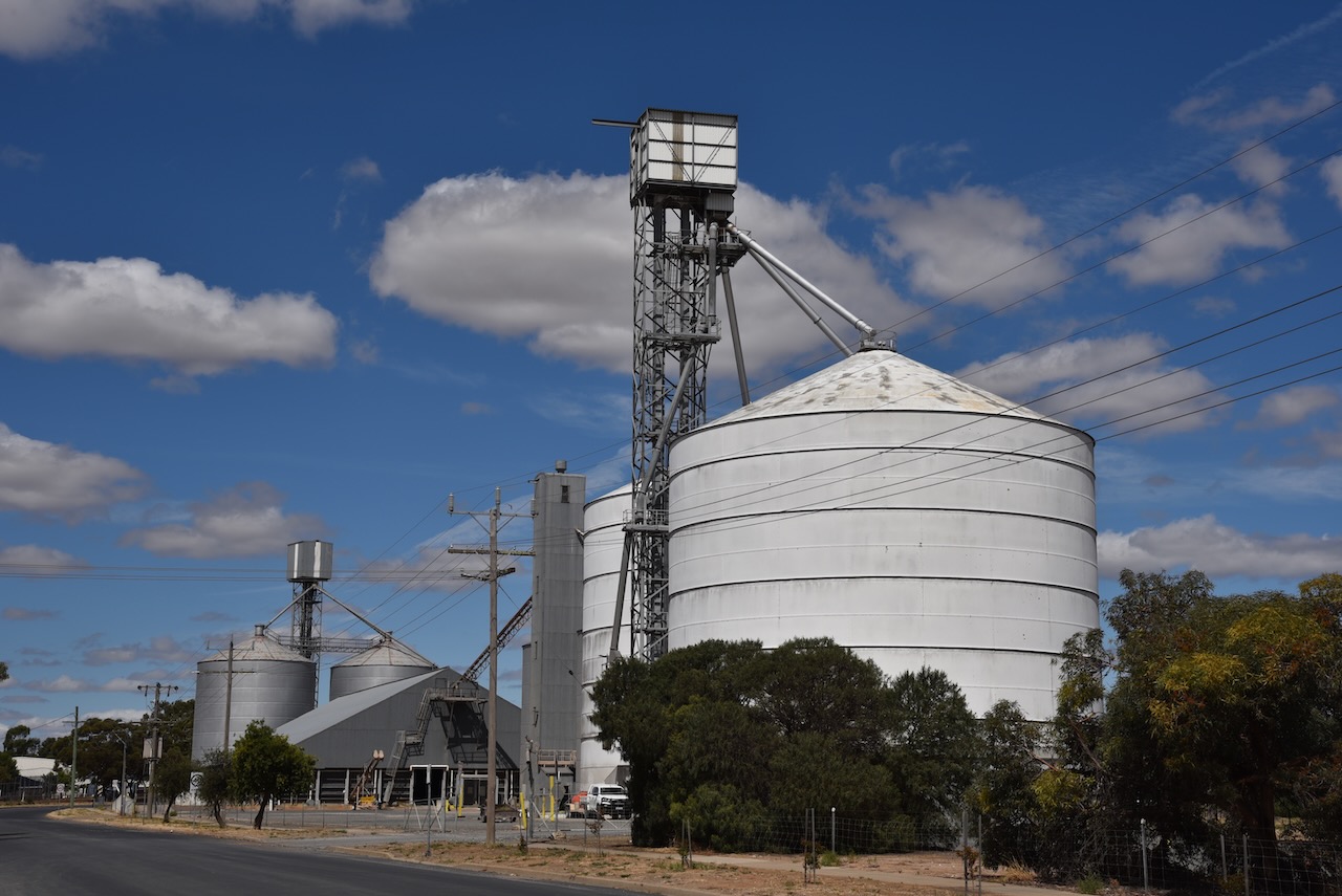
The more modern silos which are controlled by Graincorp can be located on Whitehead Road, a little further to the east of the old silos.
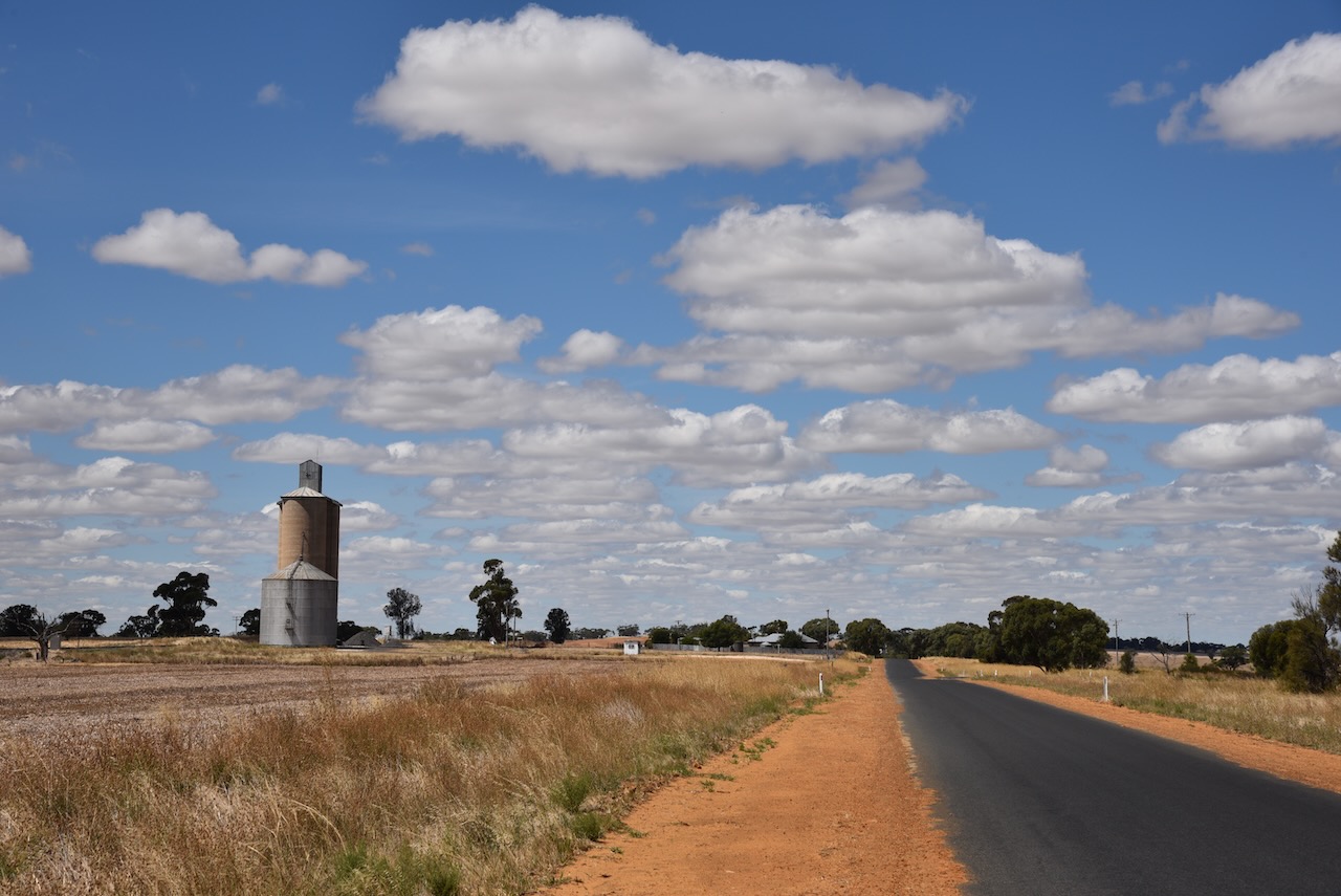
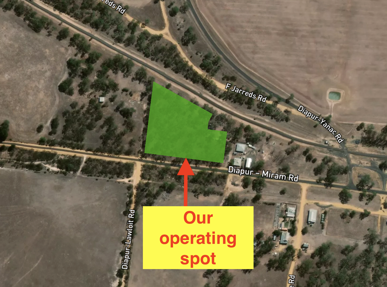
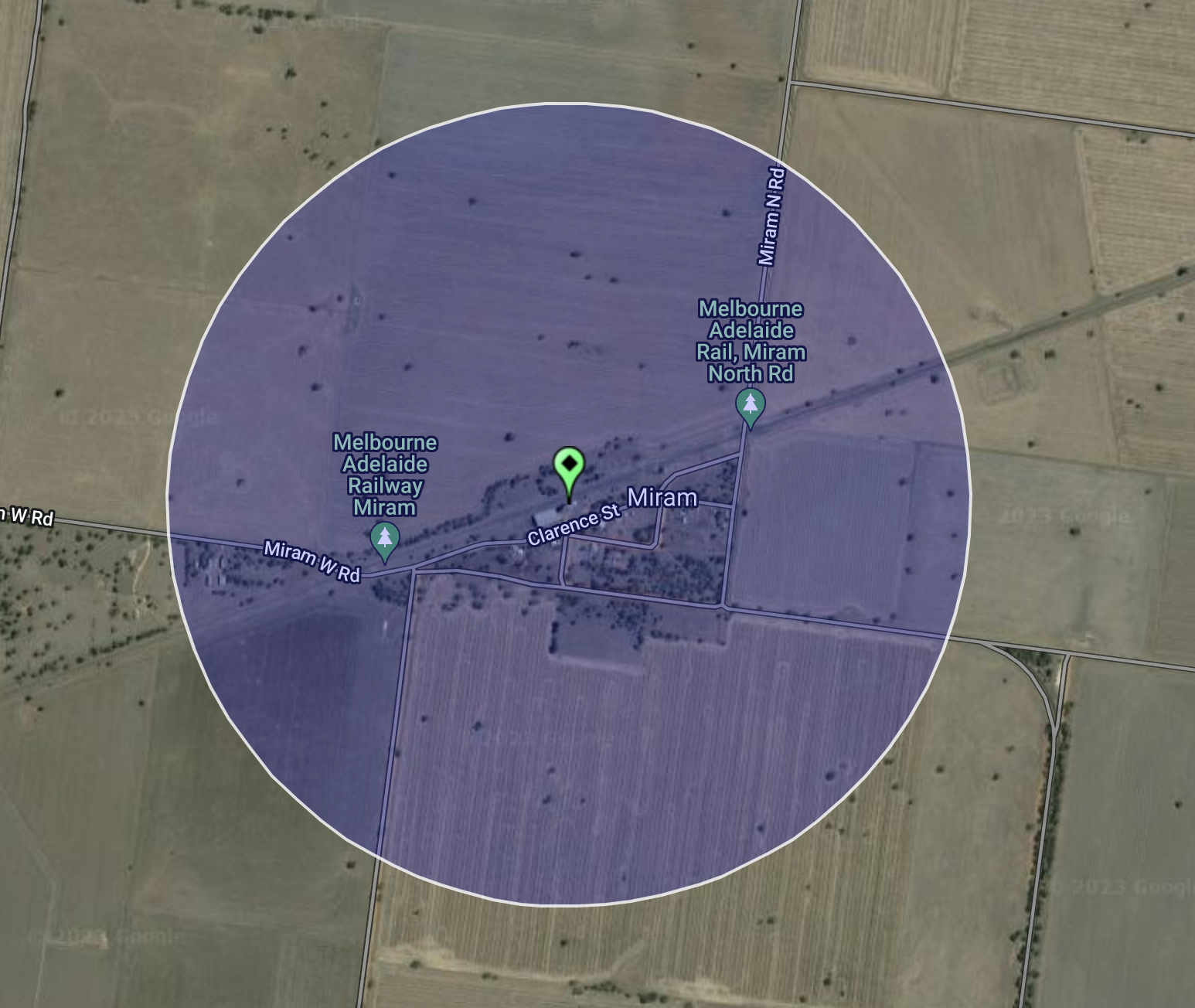
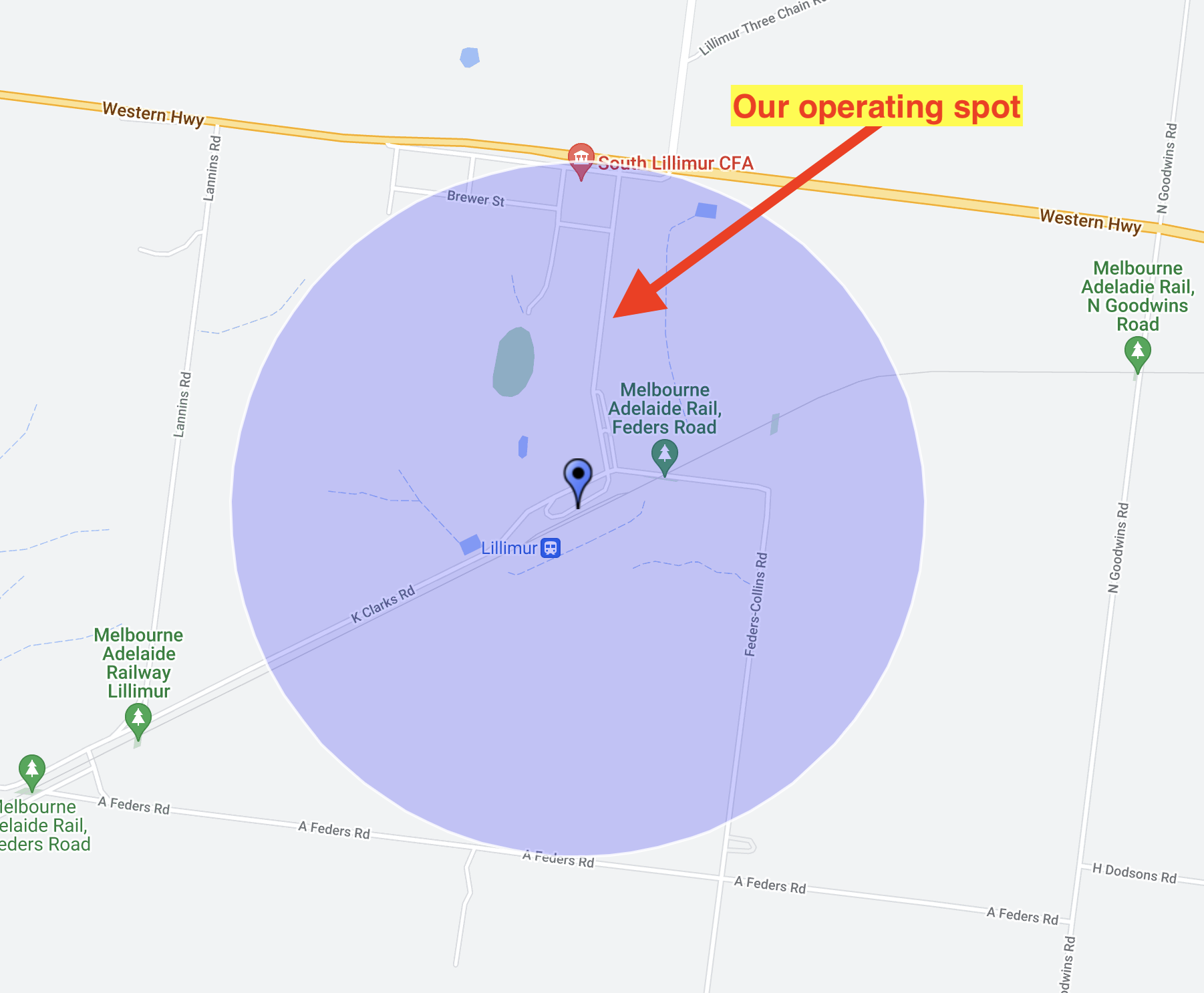
We parked at the Jaypex park and operated from the northern side of the park within the silo activation zone.
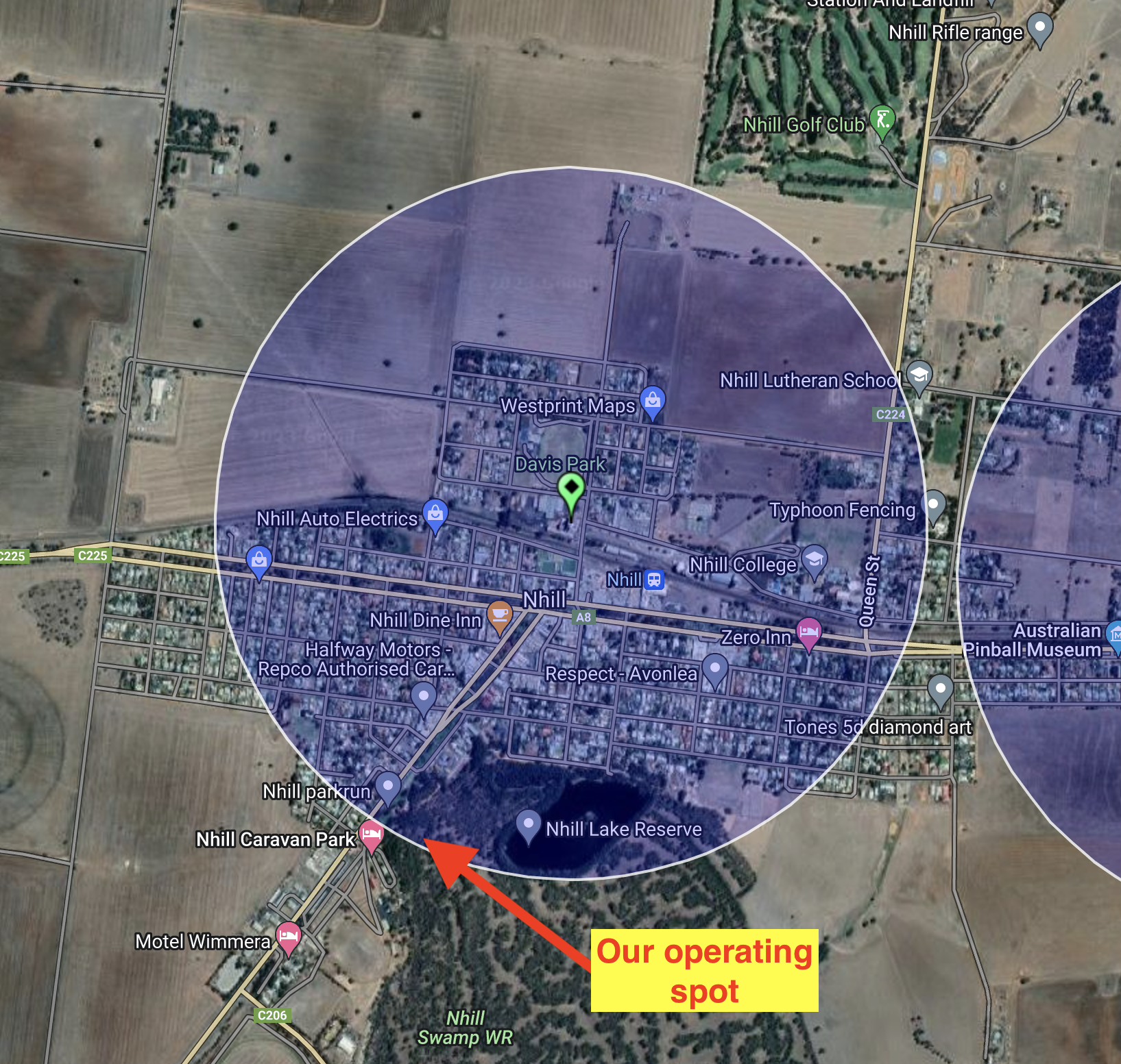
Above:- the silo activation zone at Nhill. Image c/o SiOTA website.
Marija worked the following stations on 40m SSB:-
- VK3PF
- VK5LA
- VK5FANA
- VK2IO
- VK3APJ
- VK3AWA
- VK2MOE
- VK3PMC
- VK3GJG
- VK3AMO
- VK3UAO
- VK3MCK
- VI75G
- VK2EXA
- VK3ANL
- VK3NDG
- VK1AO
- VK2MET
- VK3VIN
- VK3UH
- VK5CZ
Marija worked the following stations on 20m SSB:-
- VK4EW
- VK4SMA
- VK4KLA
- VK4EMP
- VK4TI
- VK4NH
- VK4DXA
I worked the following stations on 40m SSB:-
- VK3PF
- VK5LA
- VK5FANA
- VK2IO
- VK3APJ
- VK3AWA
- VK2MOE
- VK3PMC
- VK3GJG
- VK3AMO
I worked the following stations on 20m SSB:-
- VK1AO
- VK2MET
- VK4NH
- VK4DXA
- VK4SMA
- VK4EMP
- VK4TI
- VK4TJ
References.
- Aussie Towns, 2023, <https://www.aussietowns.com.au/town/nhill-vic>, viewed 24th March 2023.
- flickr, 2023, <https://www.flickr.com/photos/82134796@N03/17101965162>, viewed 24th March 2023.
- Oppression to Opportunity, Noske-Nuske Families in Australia’, 1997, Noske Nuske Reunion Committee
- Protected Planet, 2023, <https://www.protectedplanet.net/356906>, viewed 24th March 2023.
- Treasures of Nhill & Districts Facebook page, 2023, <https://www.facebook.com/groups/160257270749276>, viewed 24th March 2023.
- Up the Creek, 2023, <https://www.upthecreekvictoria.com.au/charabancs-and-bunyip-forest-devils/>, viewed 24th March 2023.