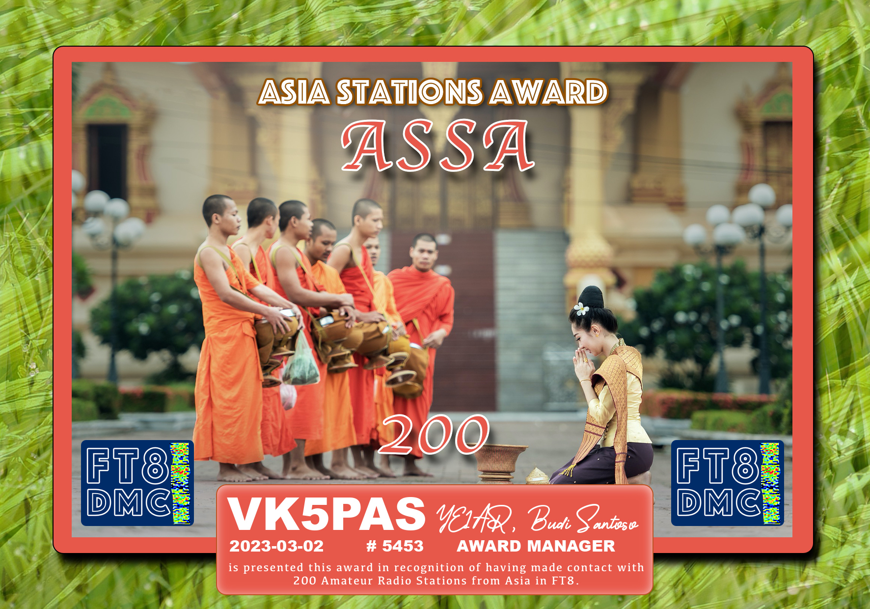
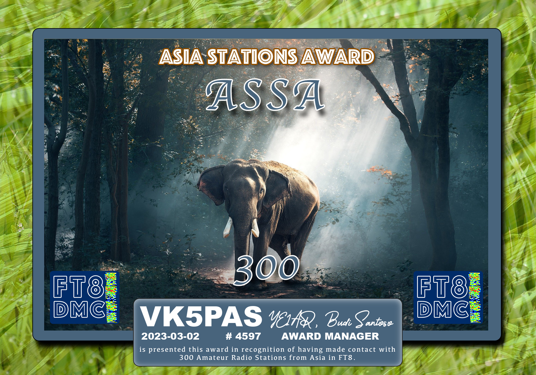
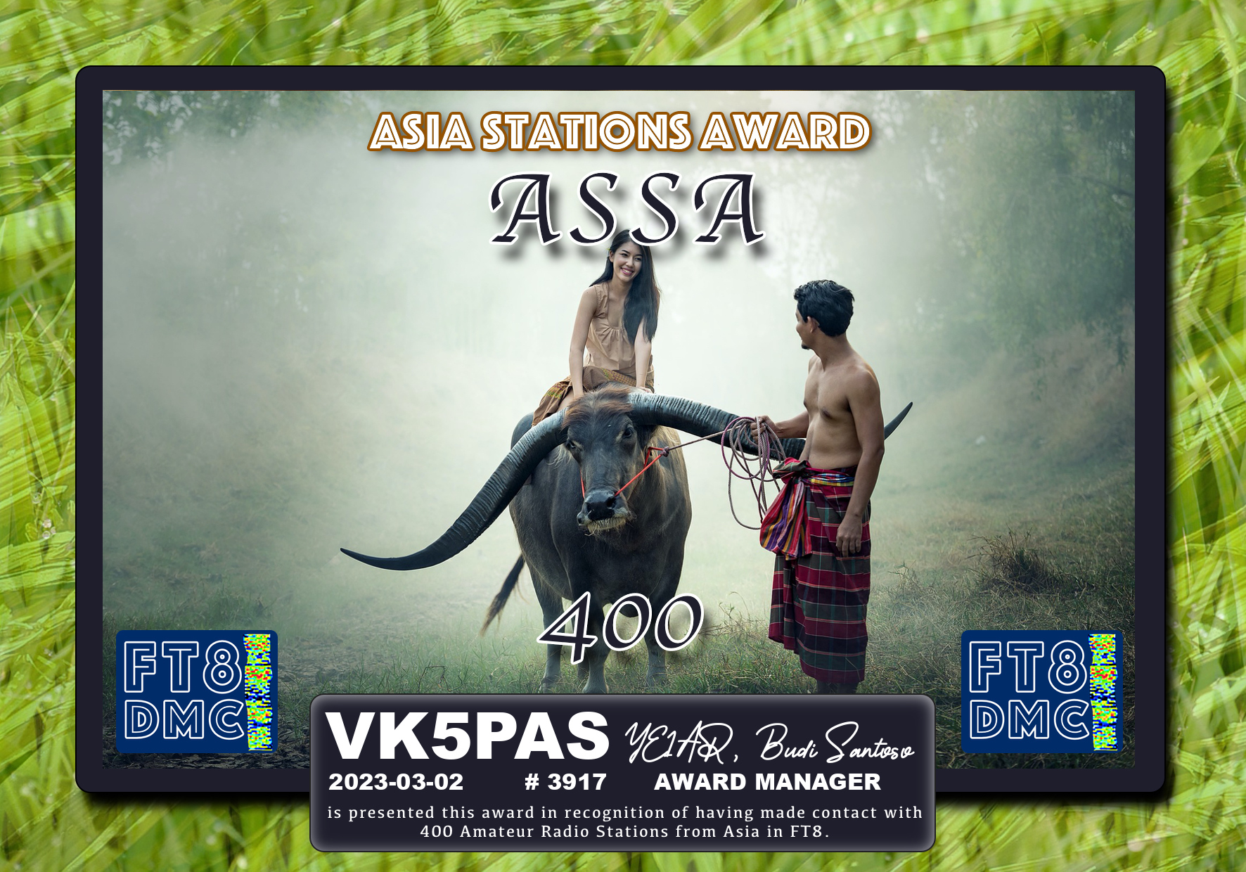
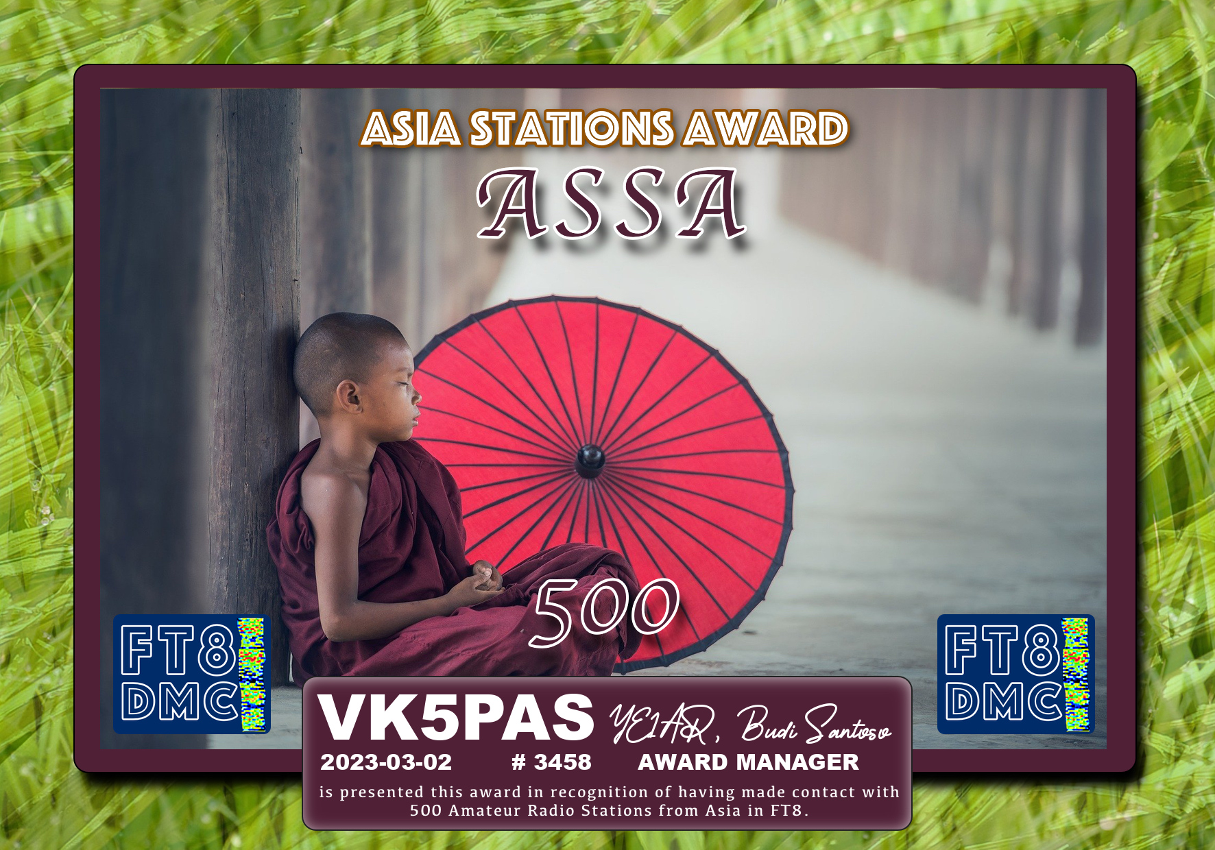
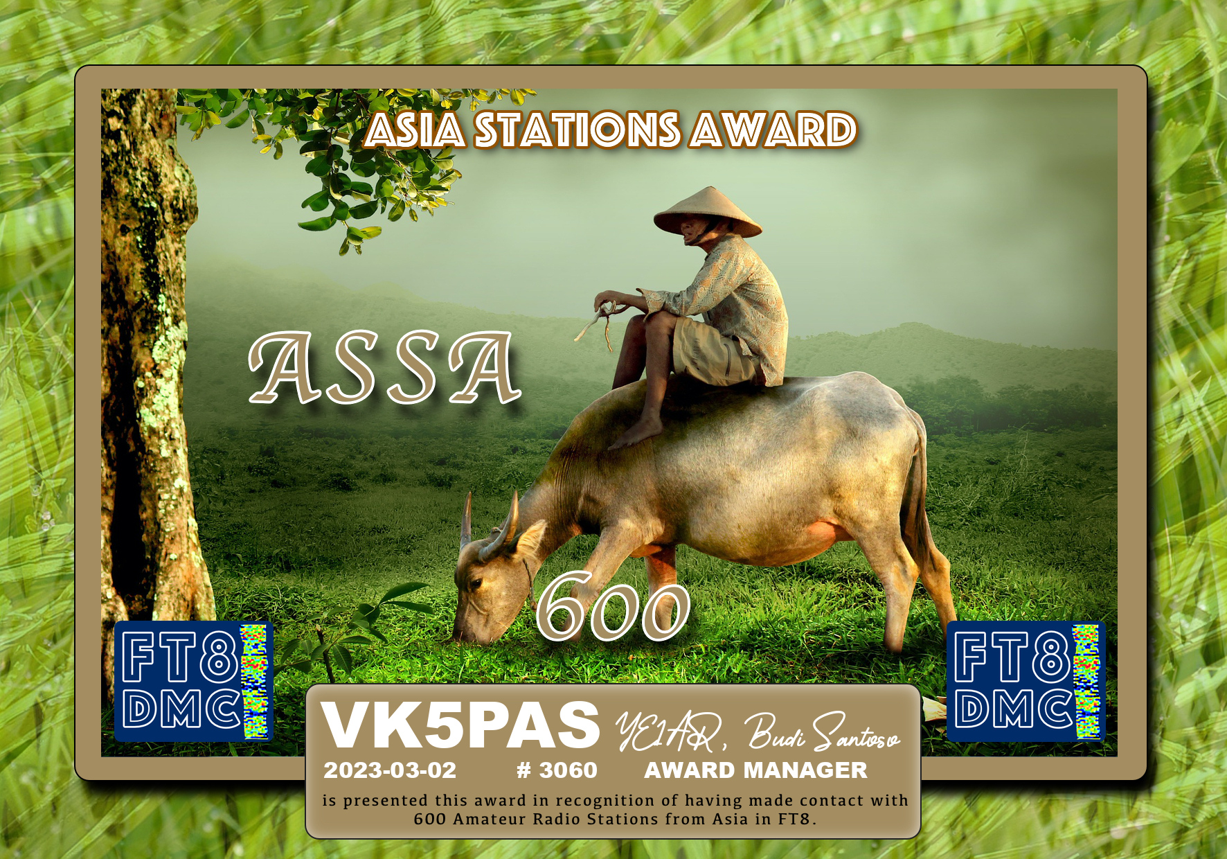
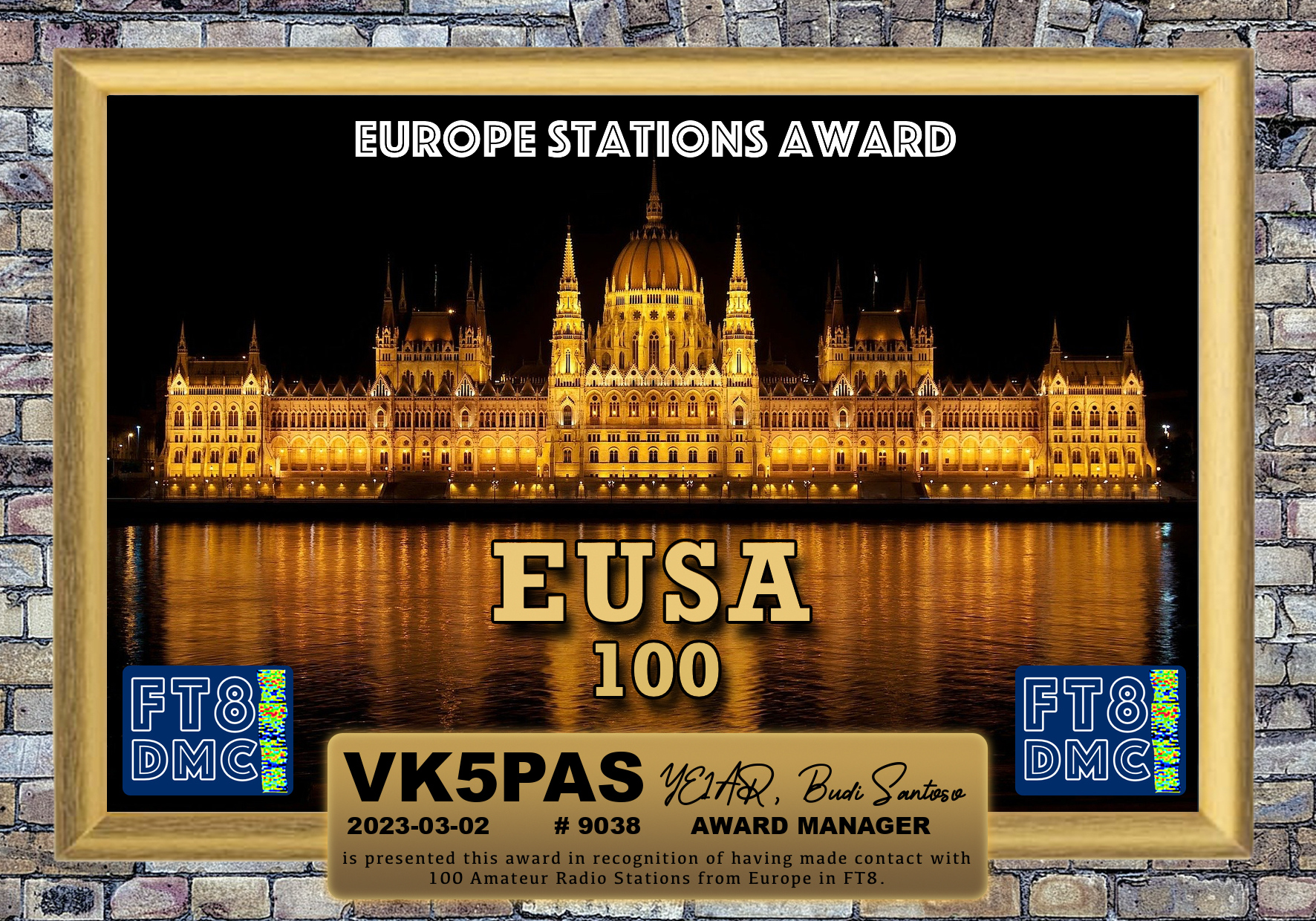
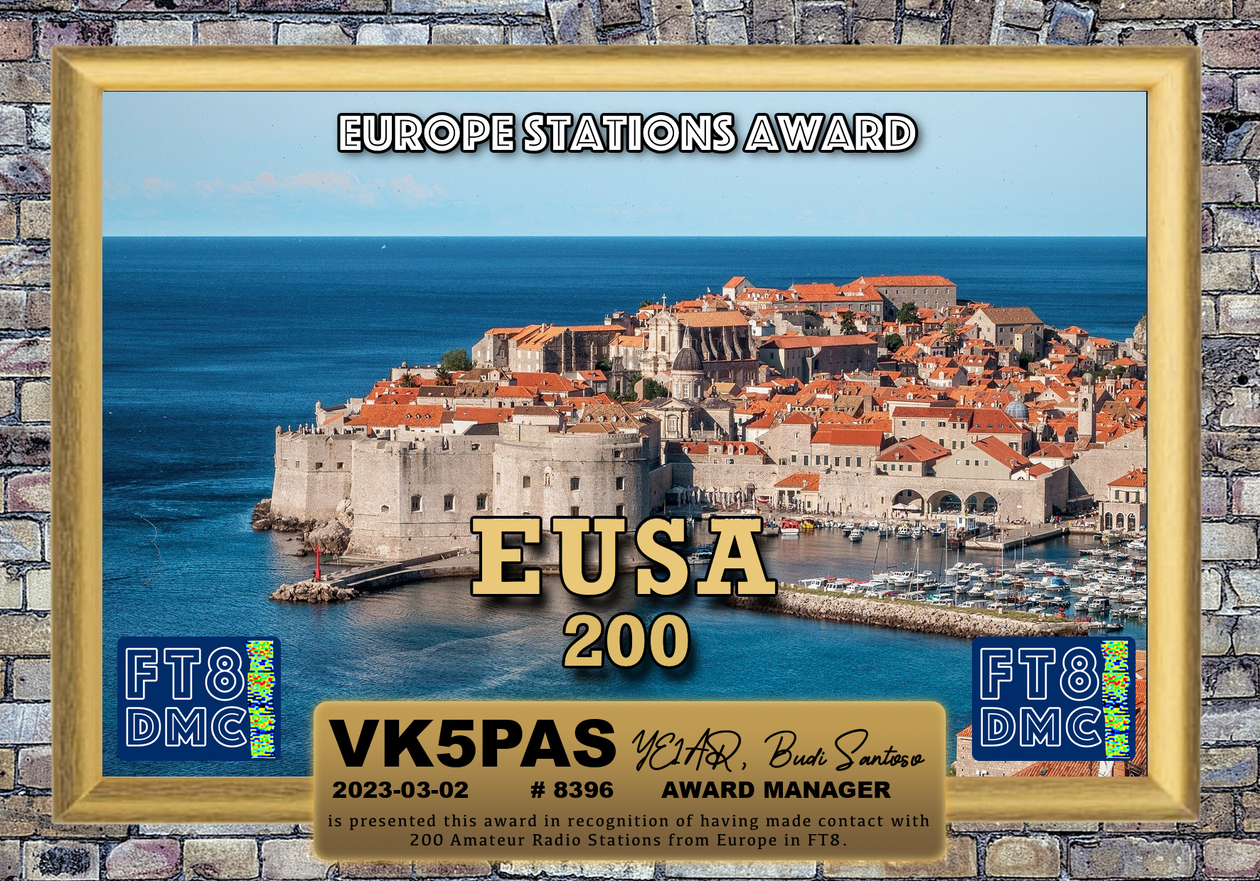
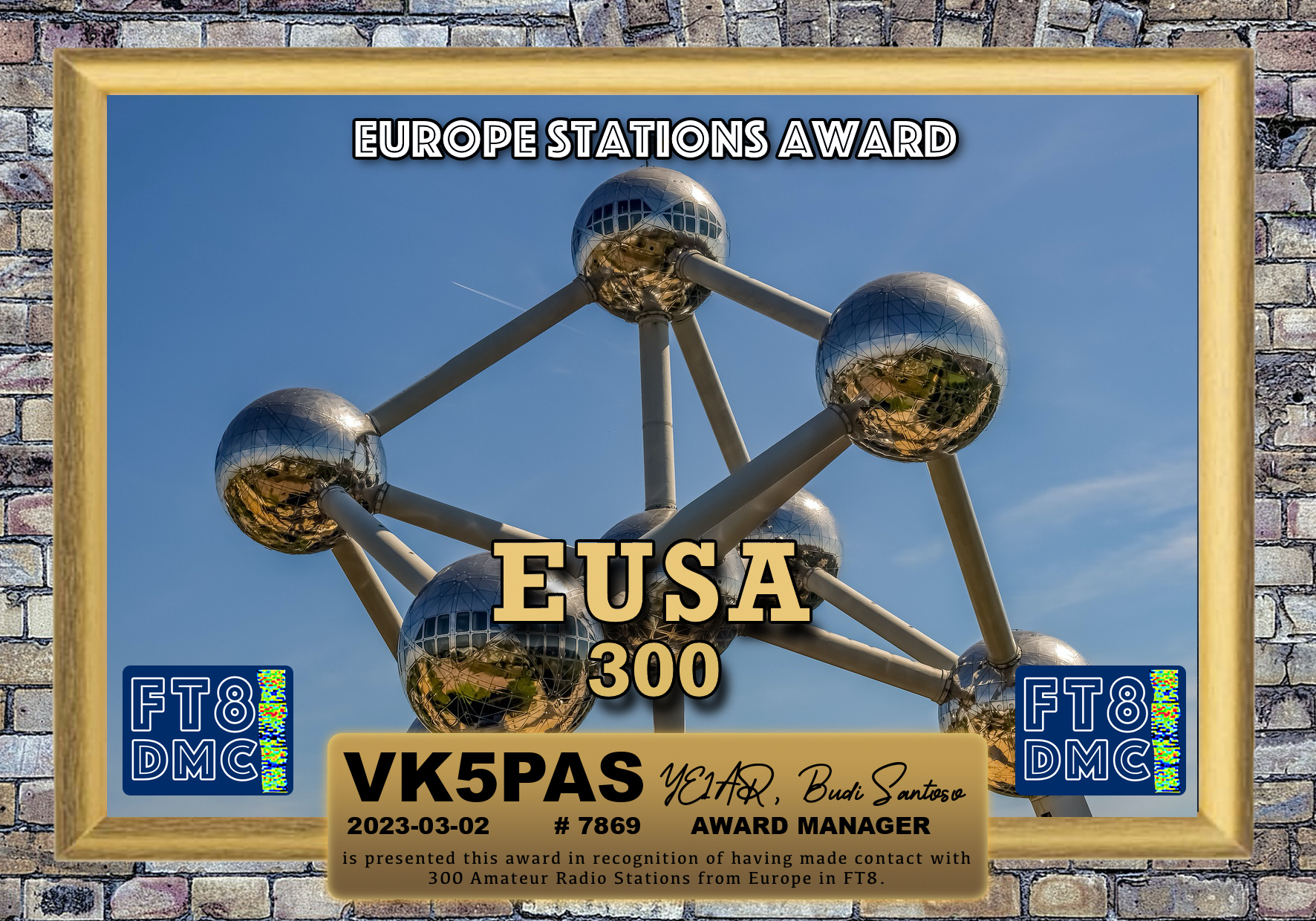
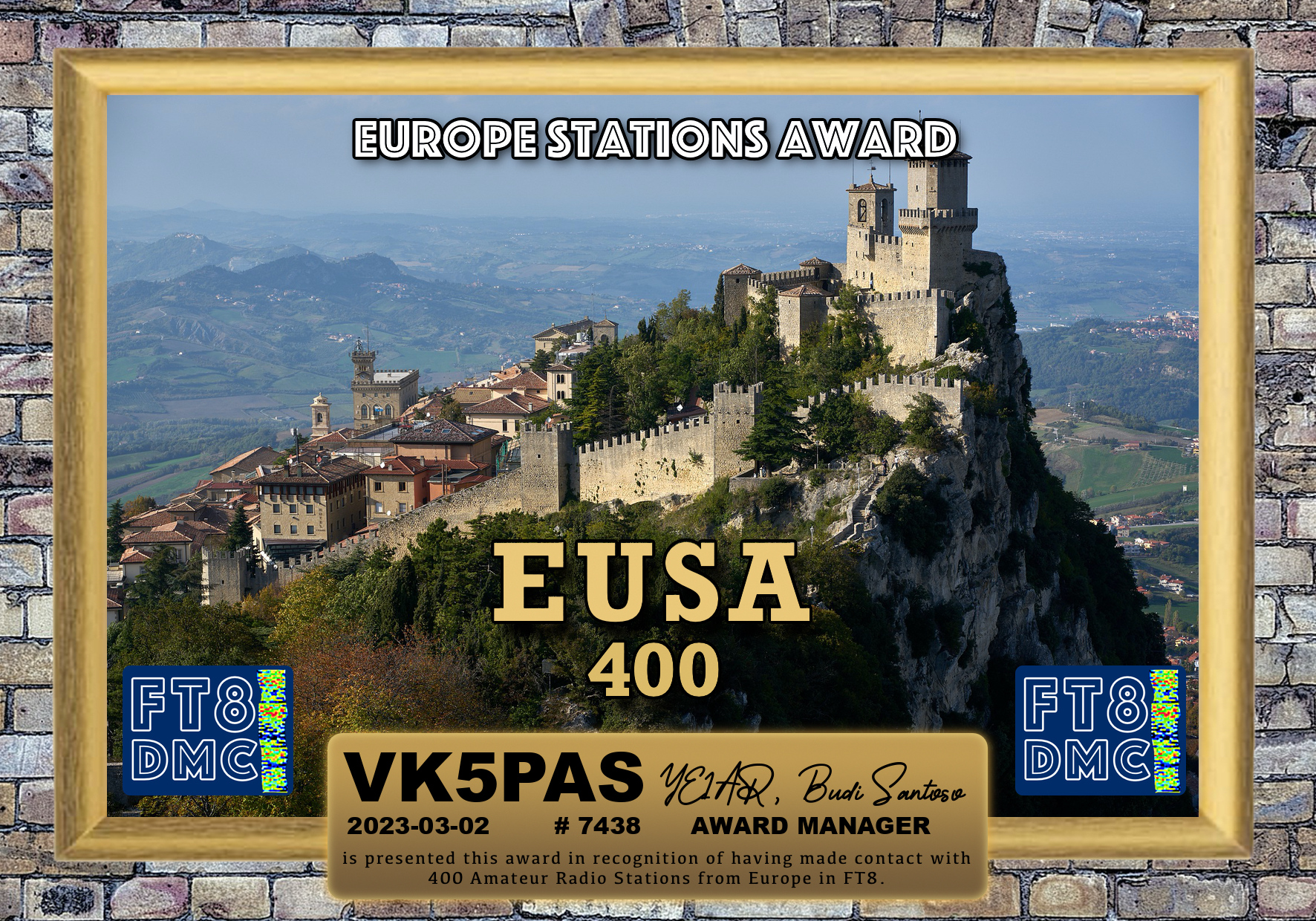
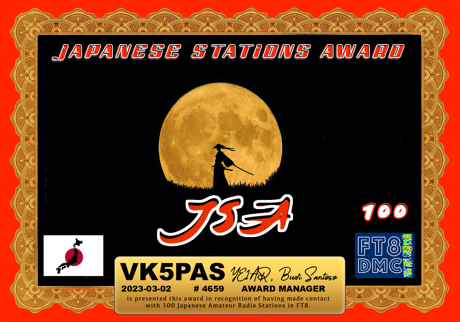
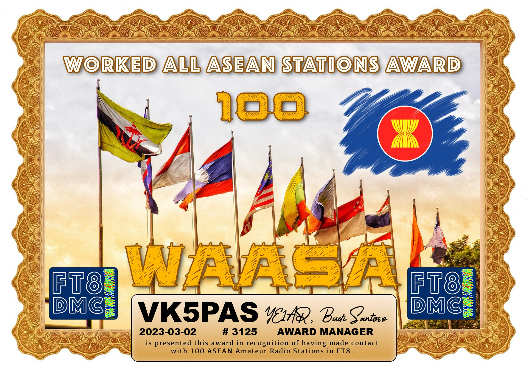
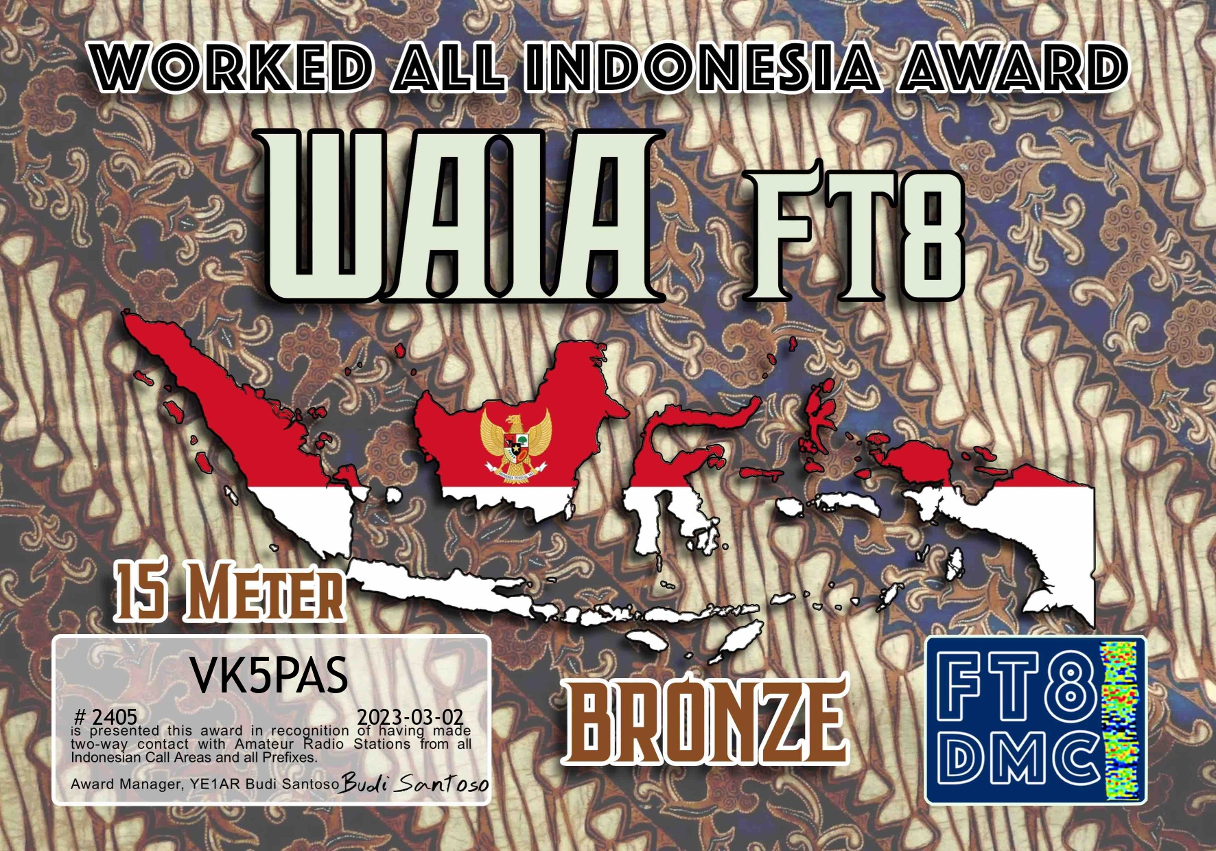
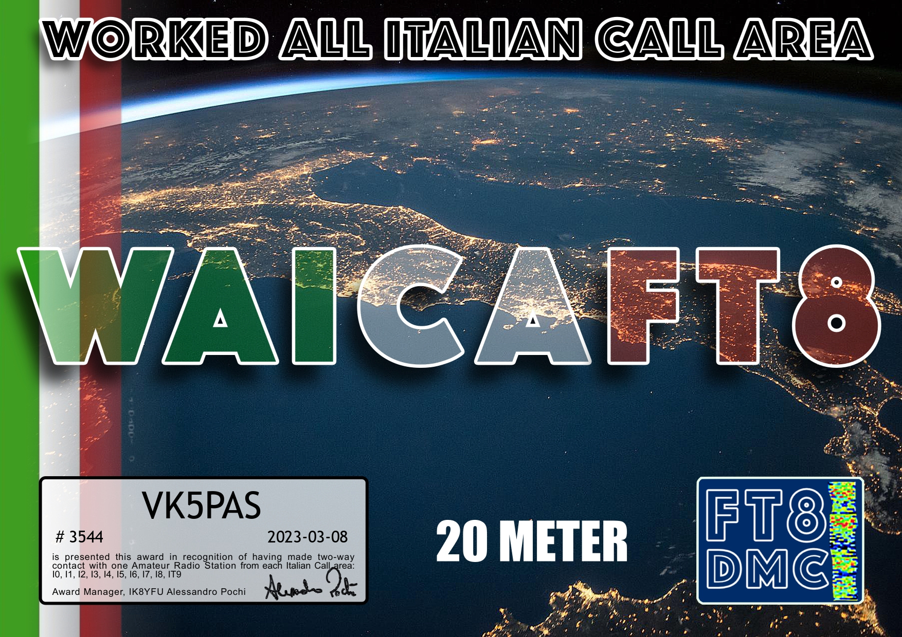
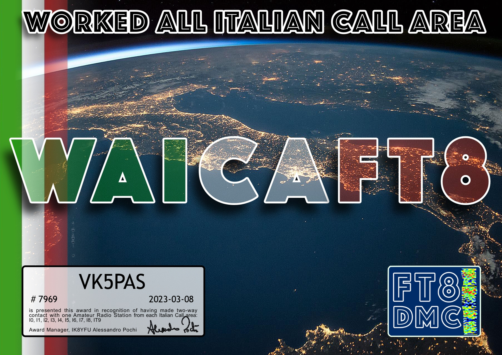
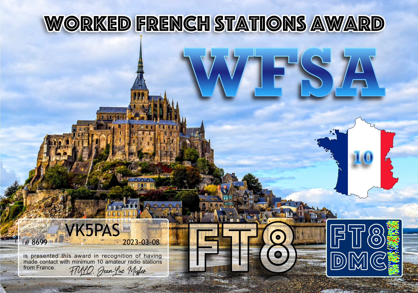
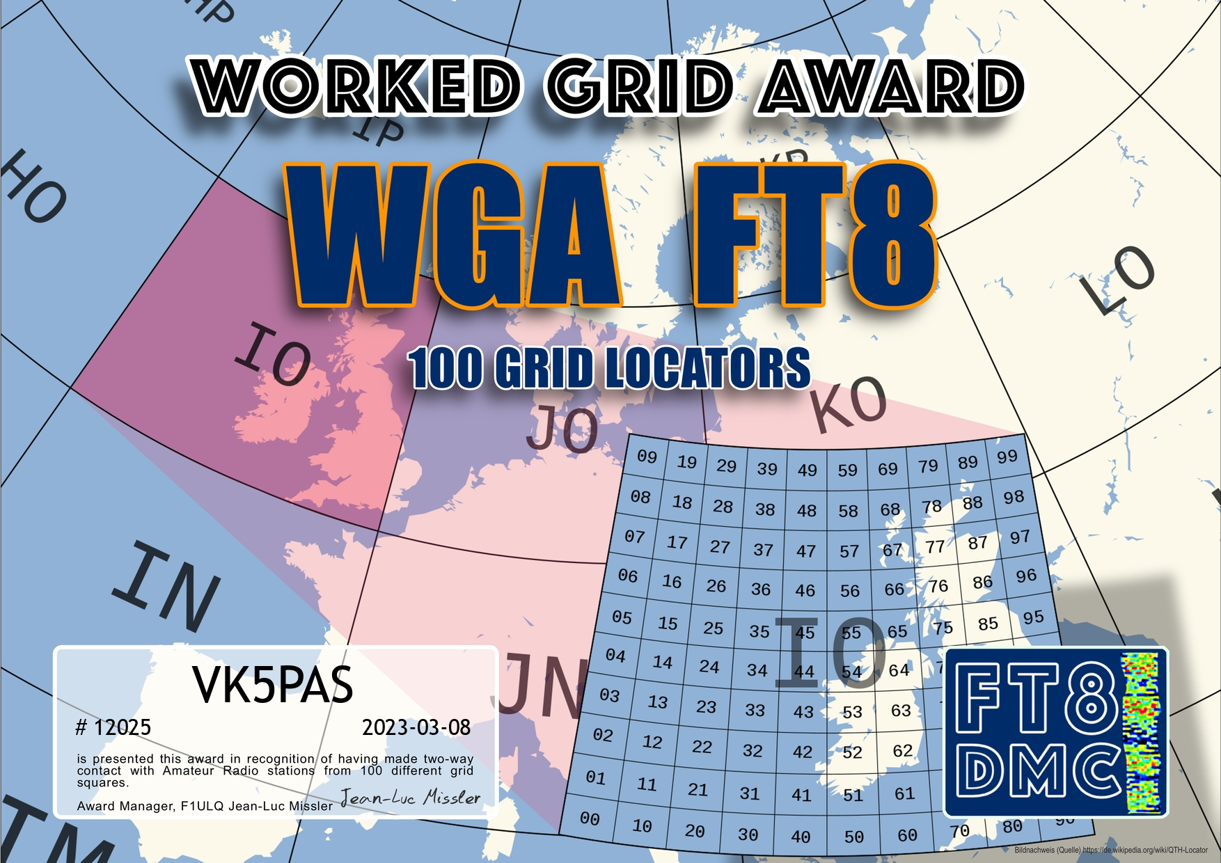
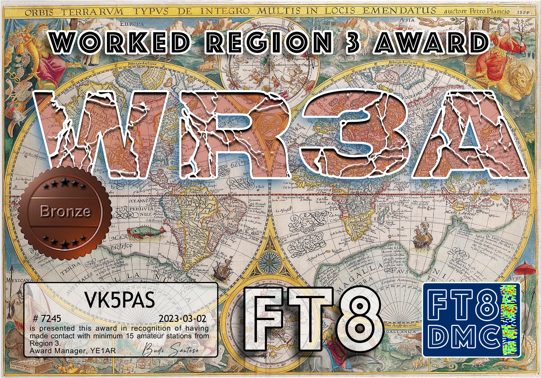
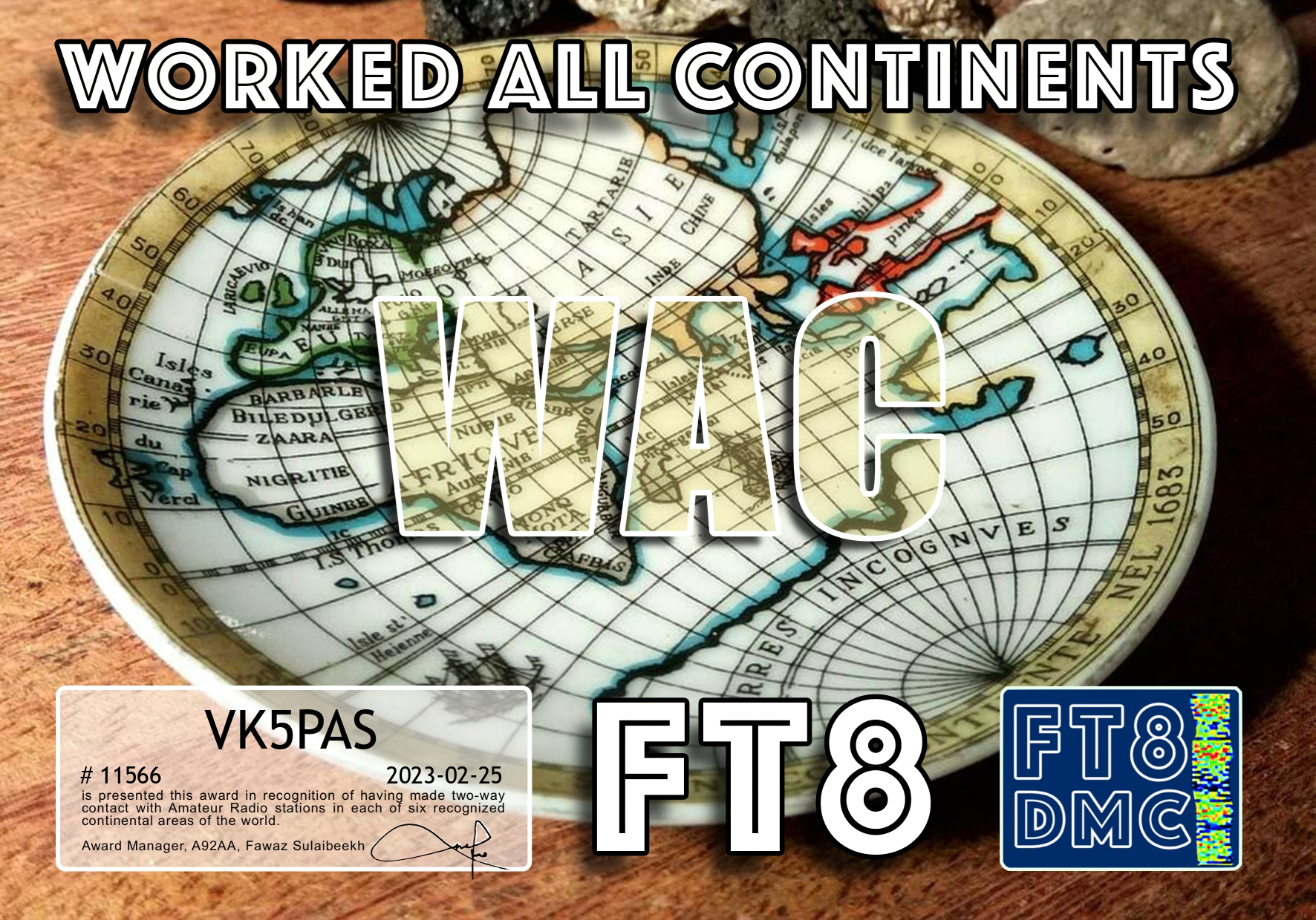
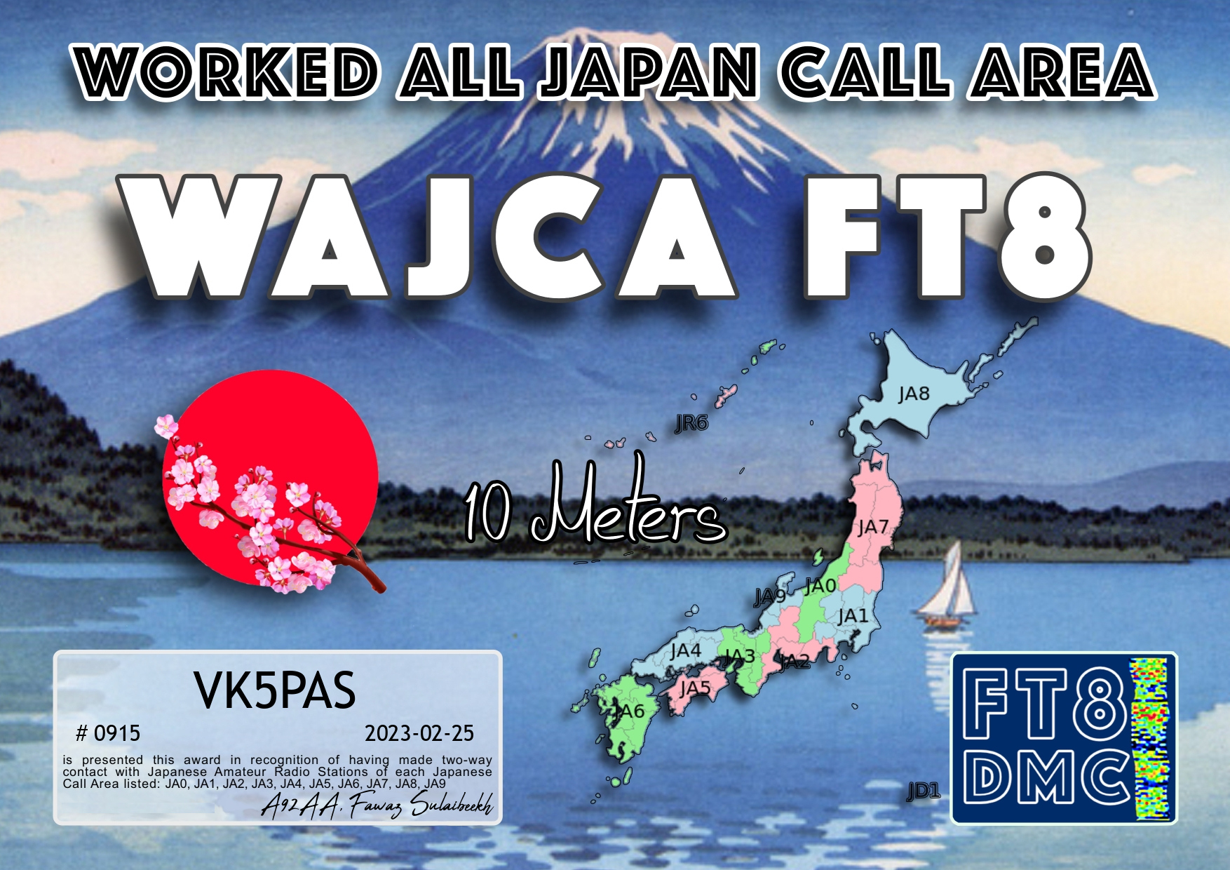
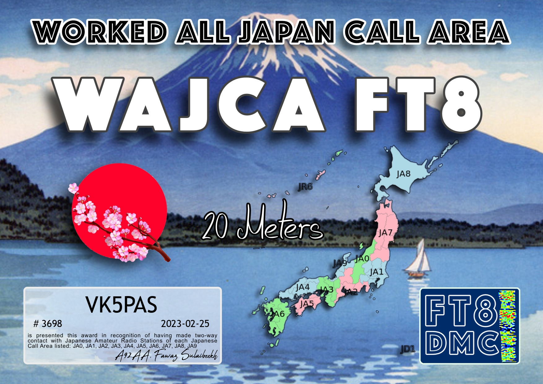
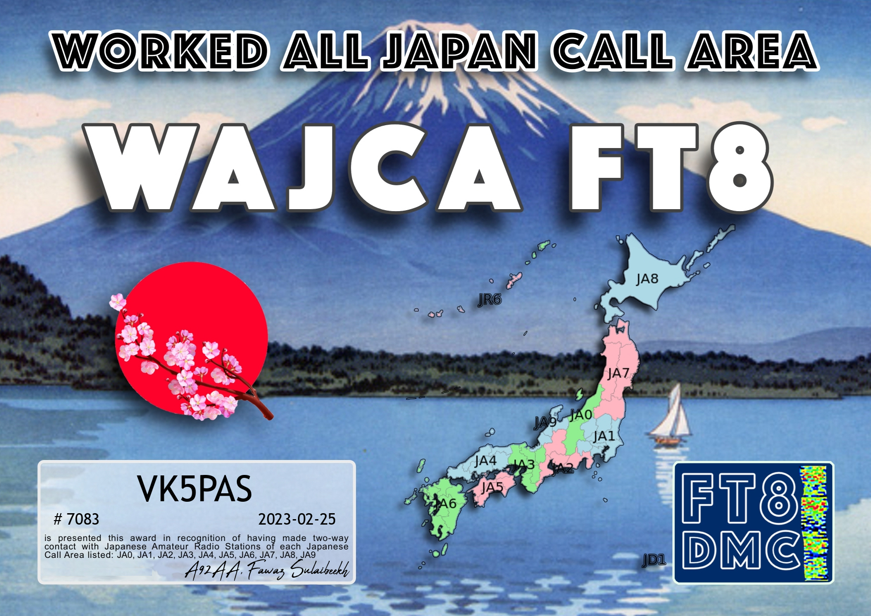
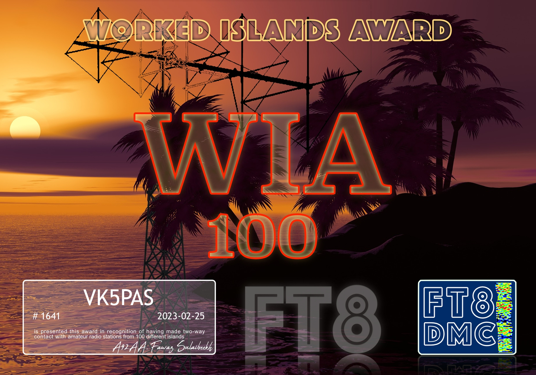
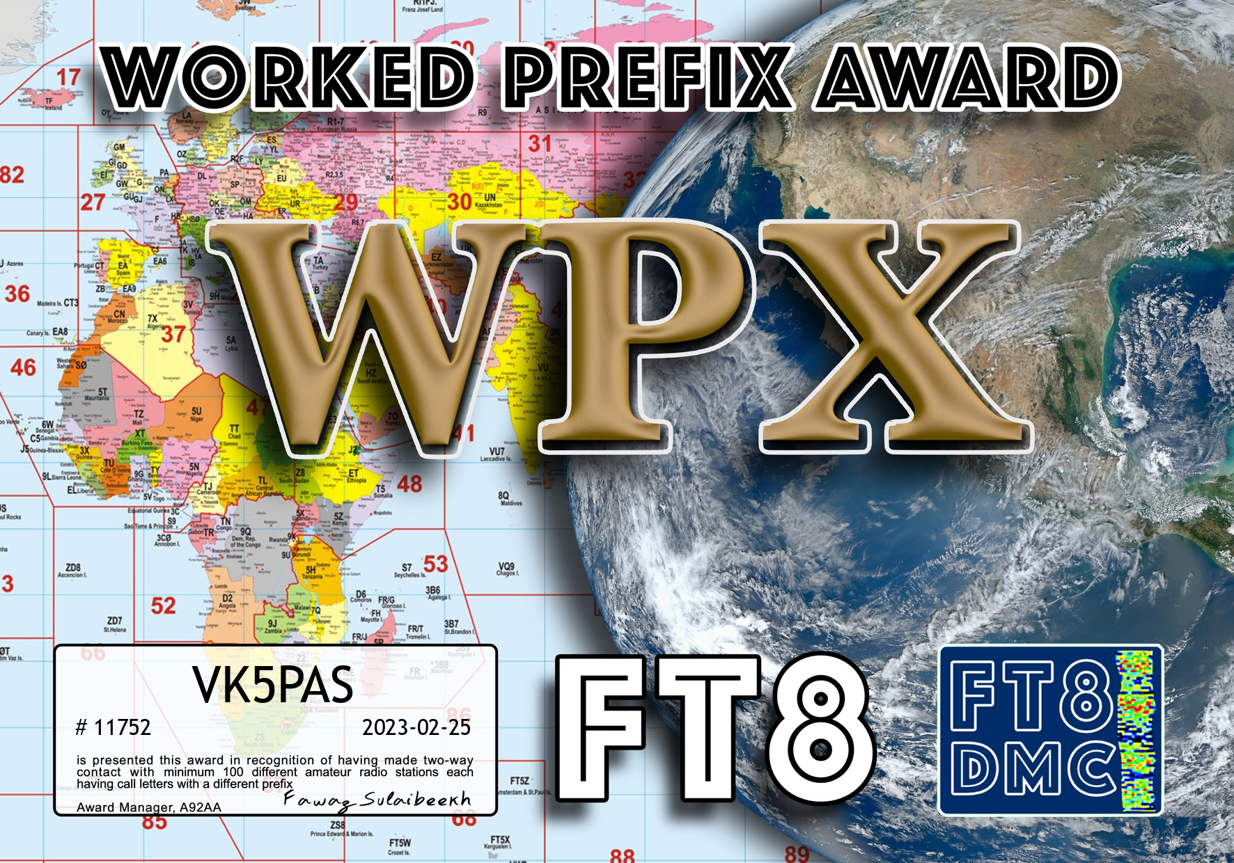
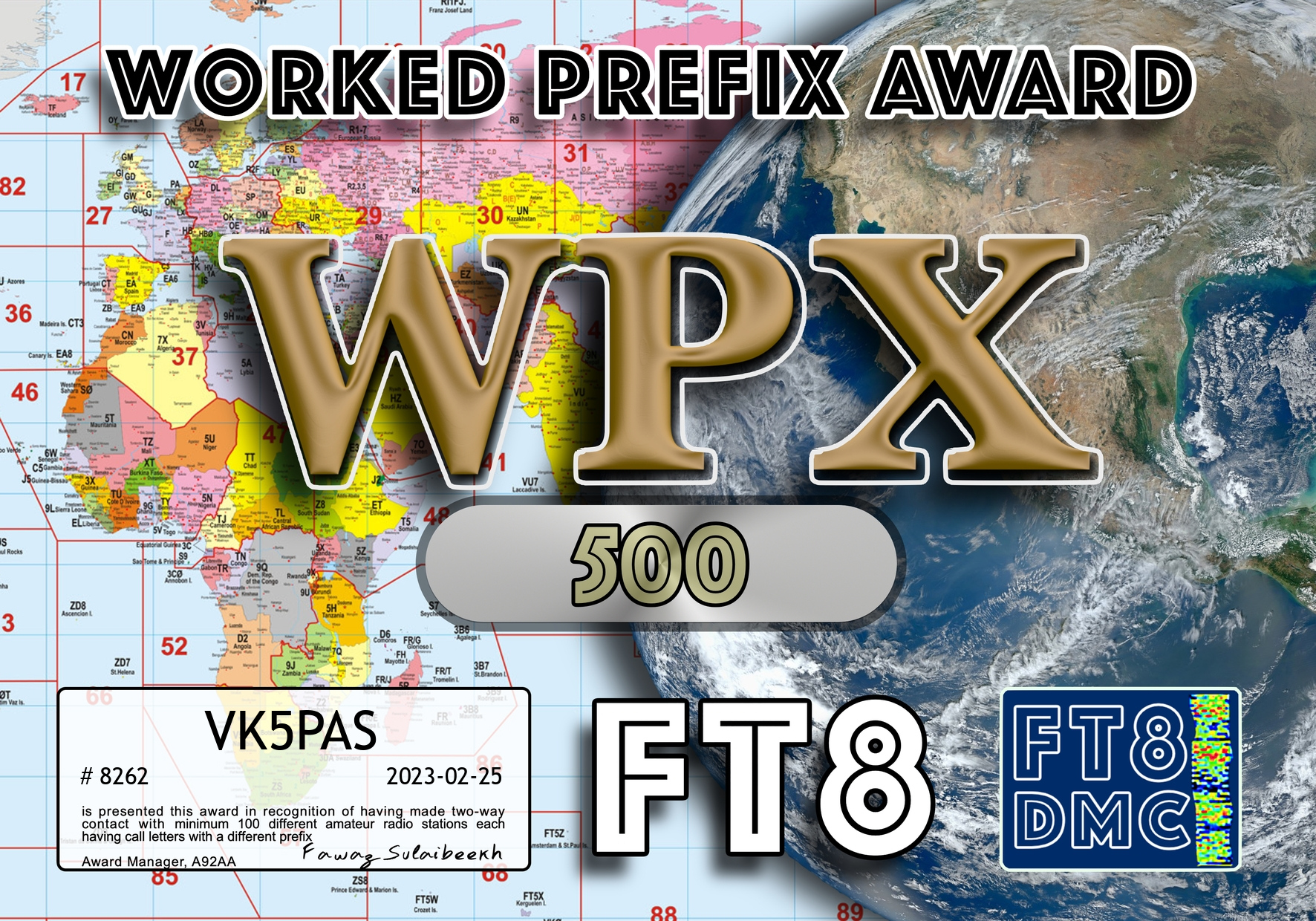
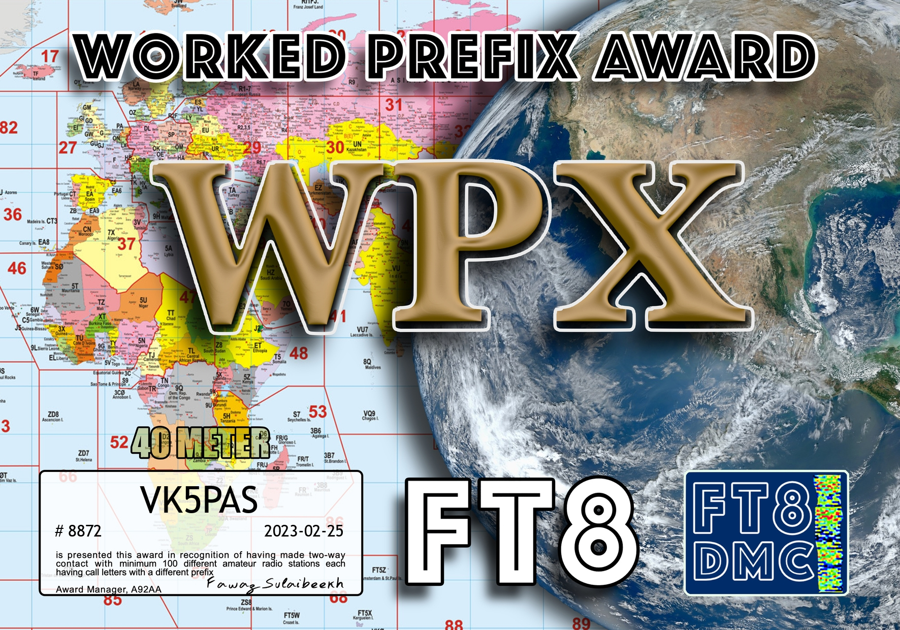
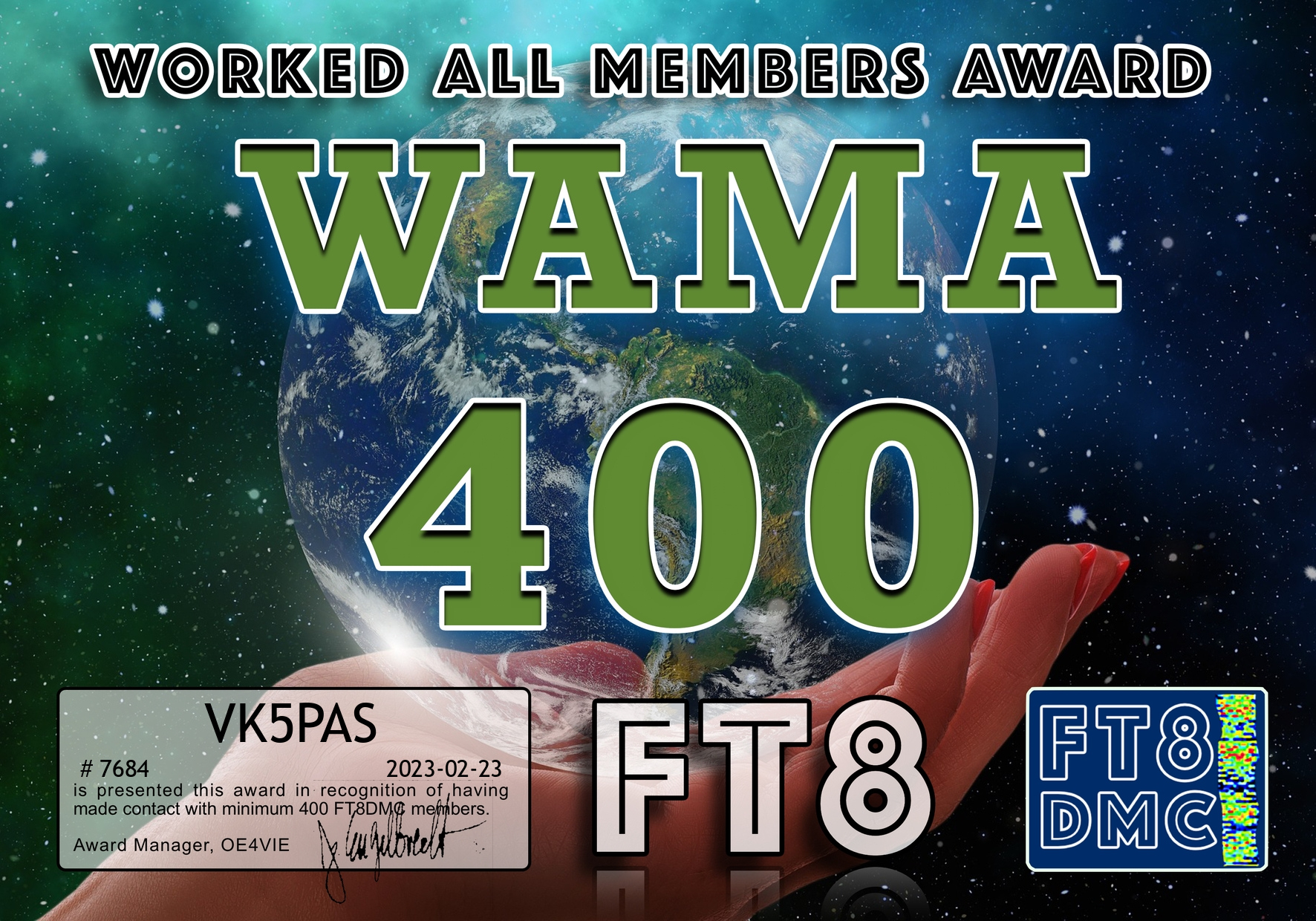
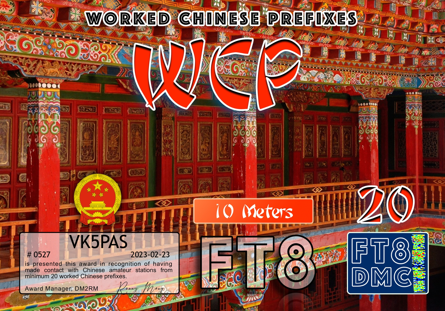
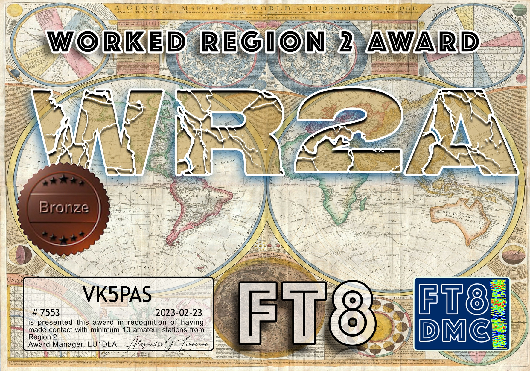
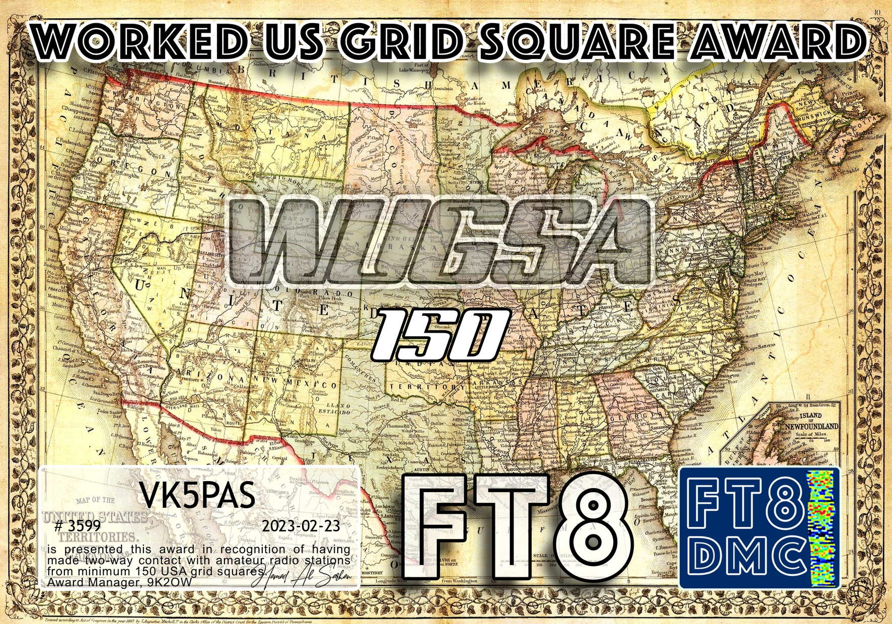
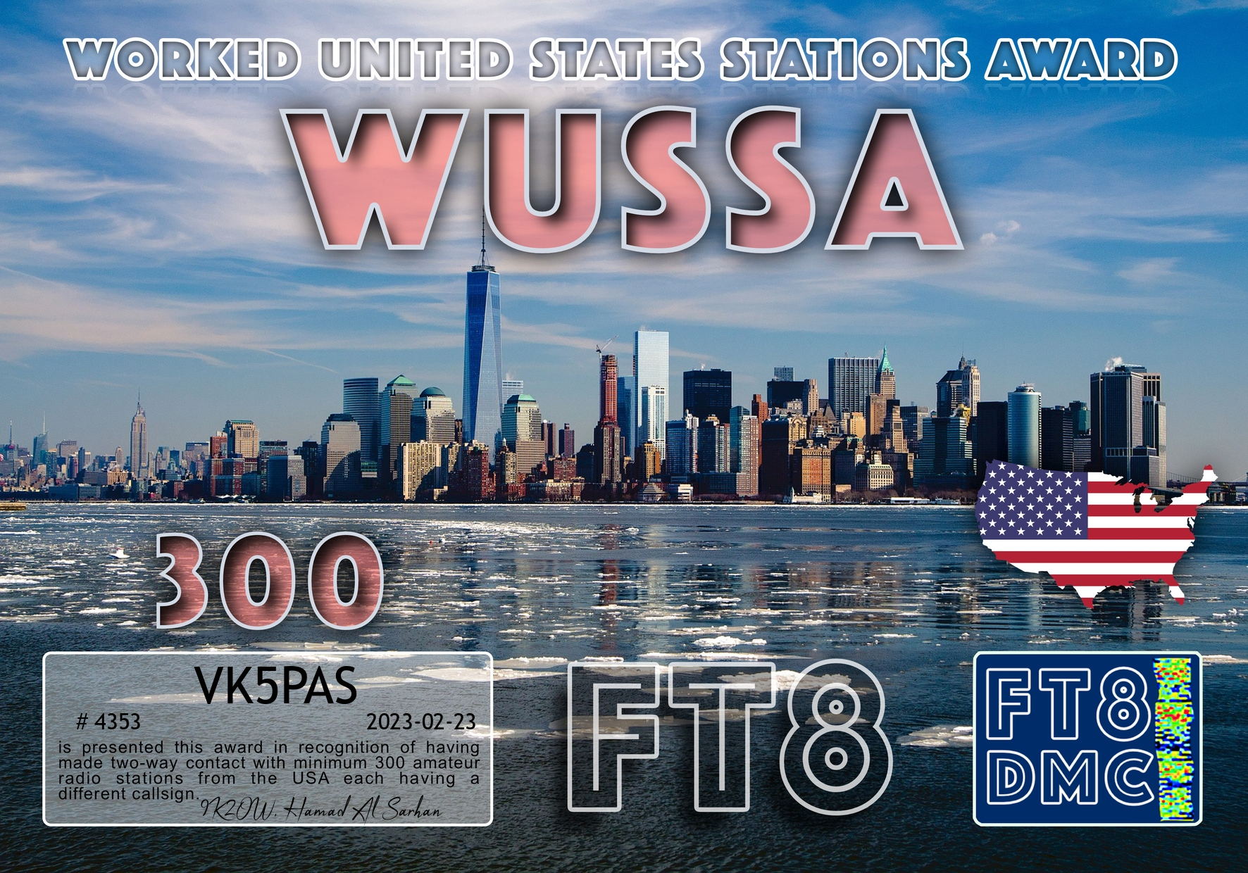
Today I received a few more FT8 award certificates.
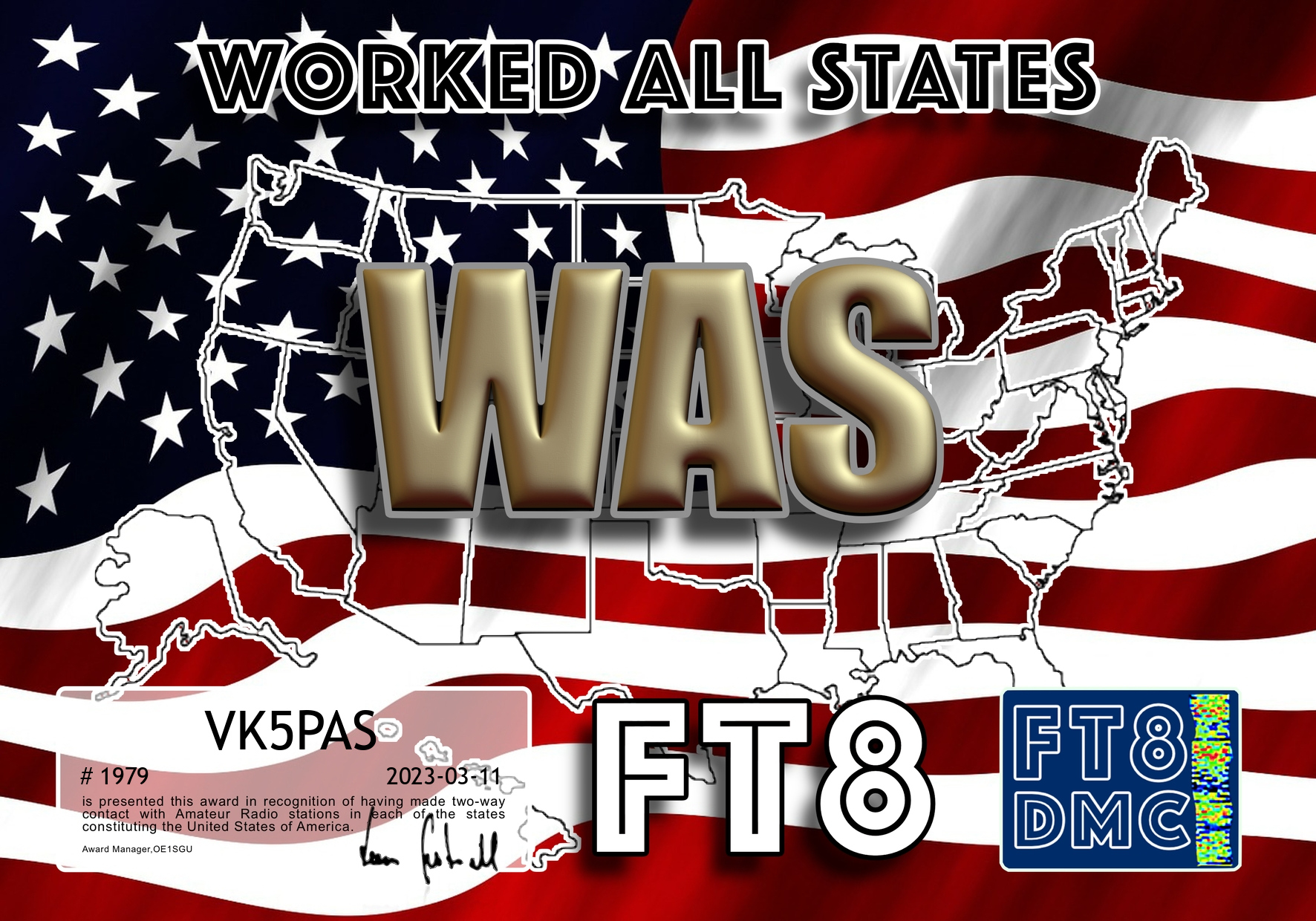
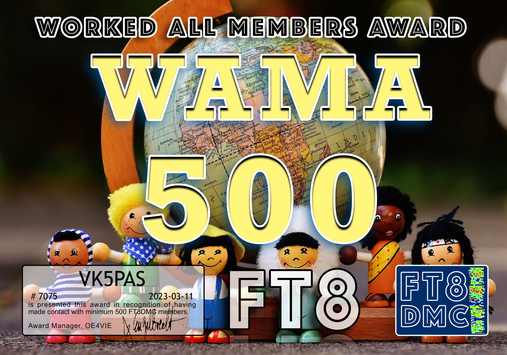


Today I received a few more FT8 award certificates.
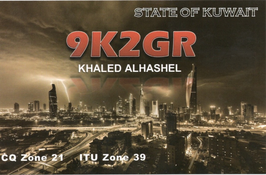
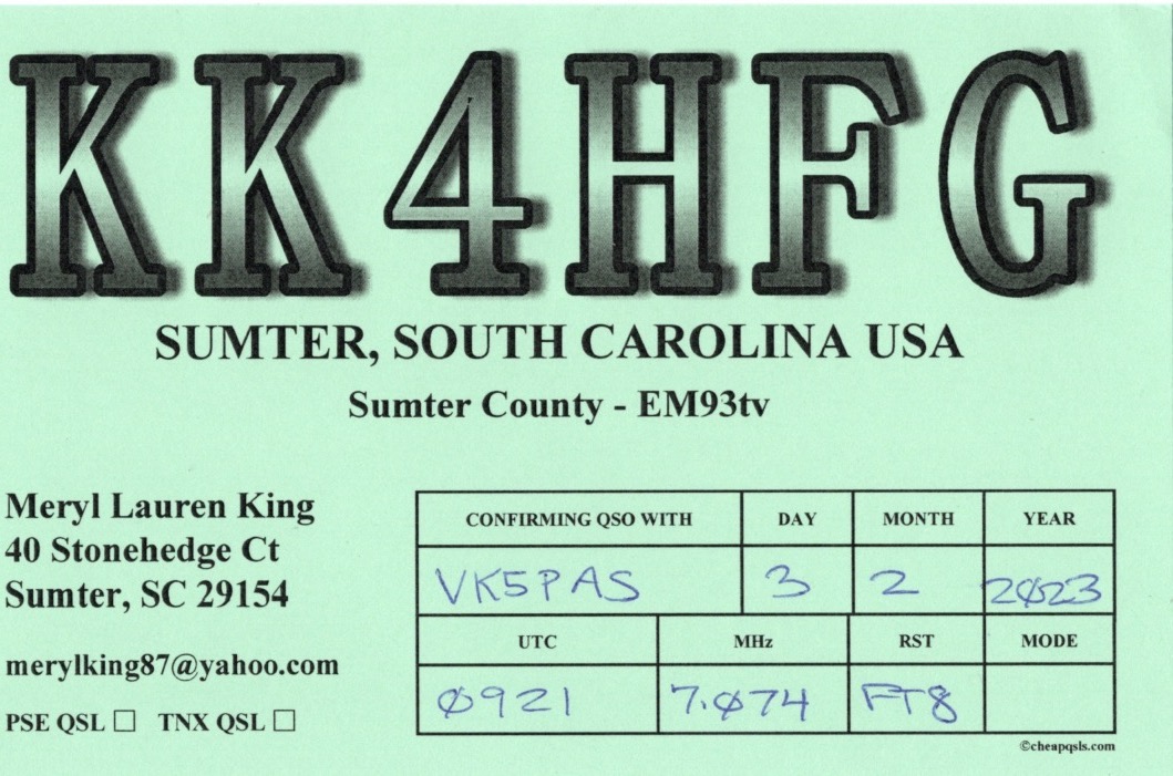
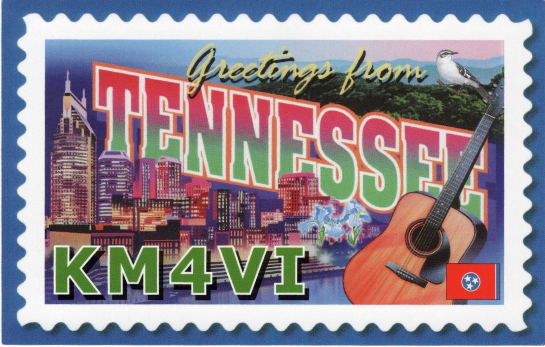
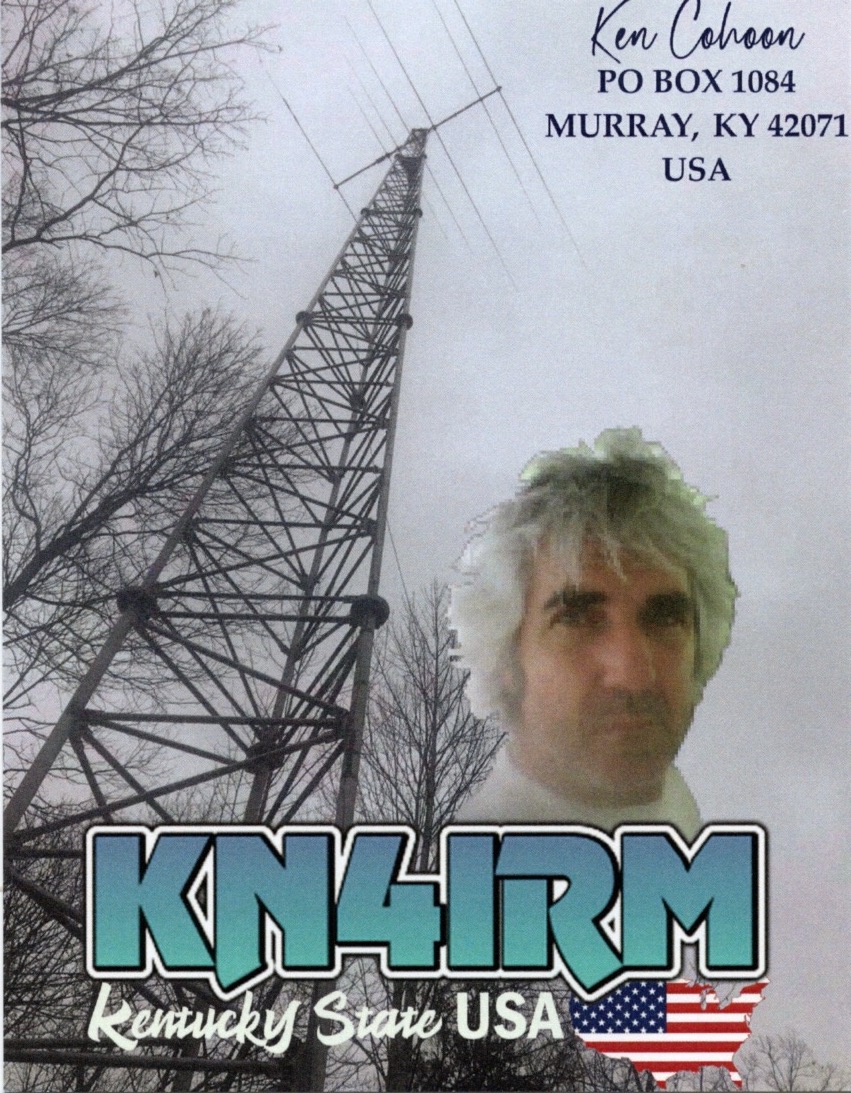
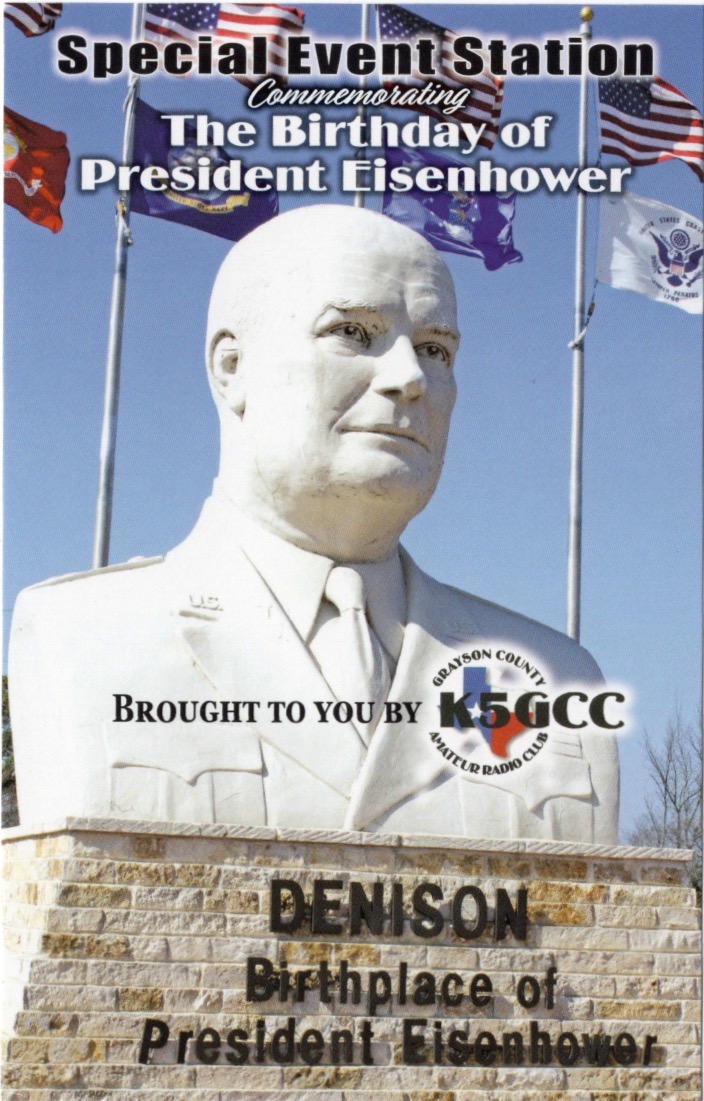
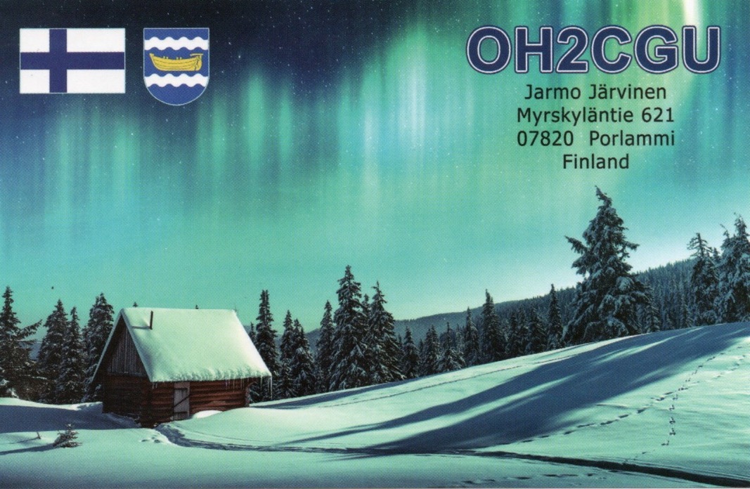
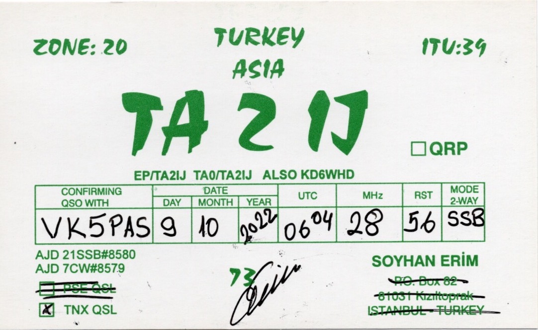
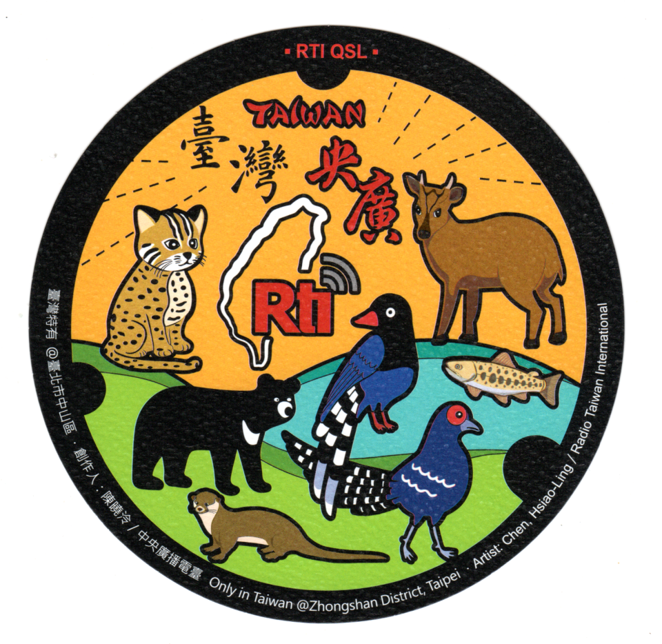
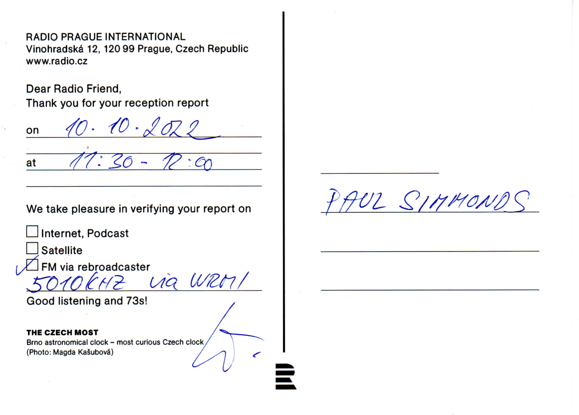
A small selection of some of the QSL cards received in the mail over the past couple of weeks for VK5MAZ and VK5PAS.

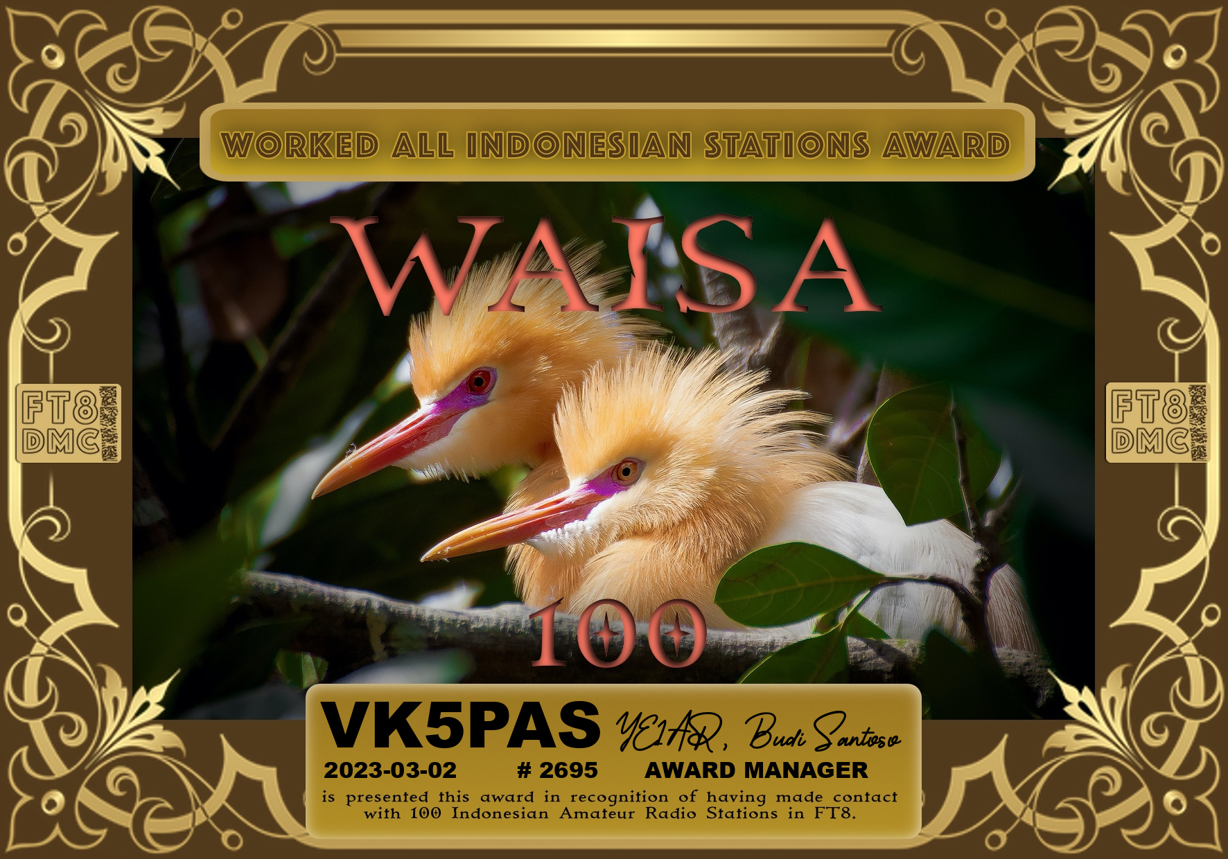
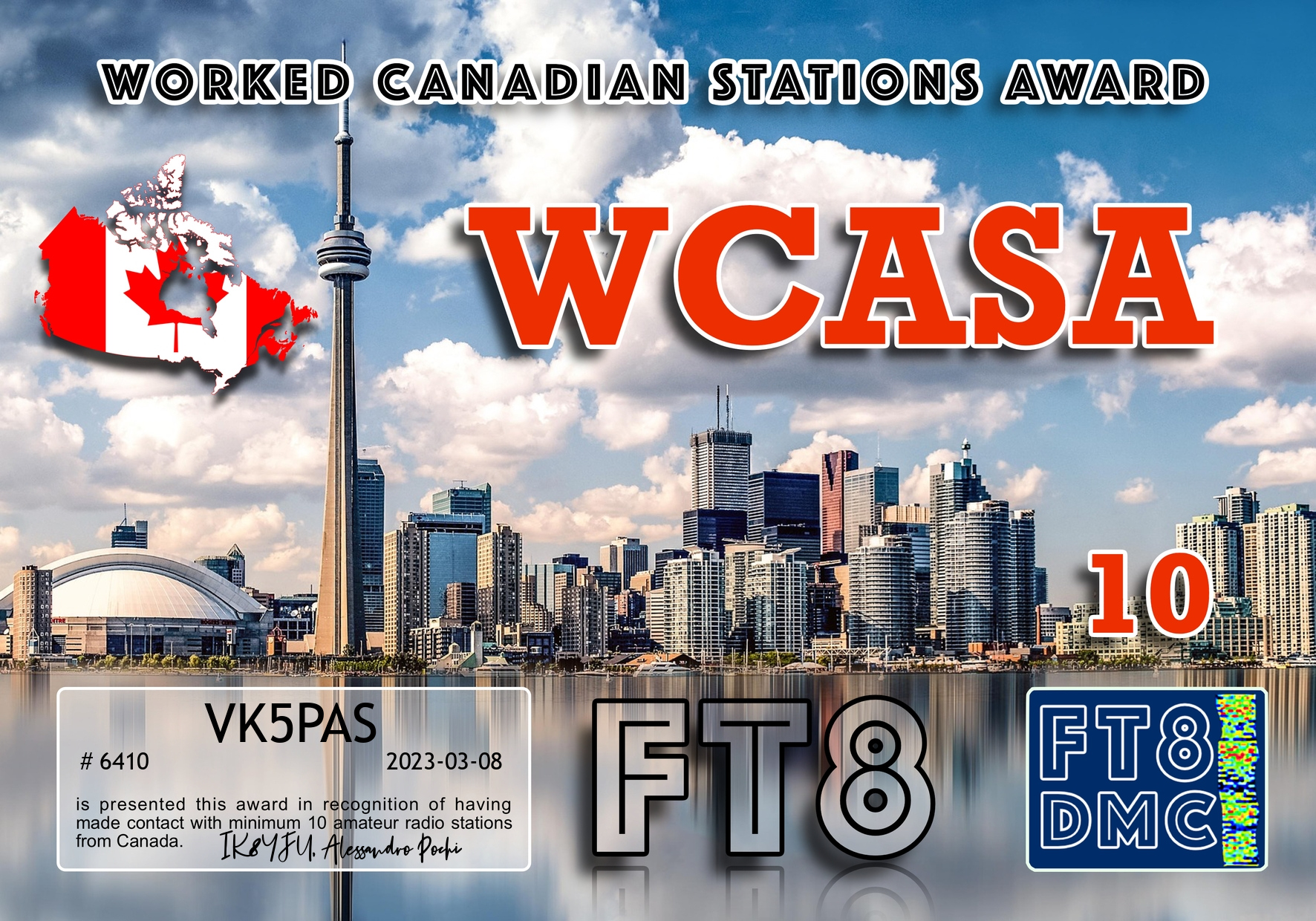
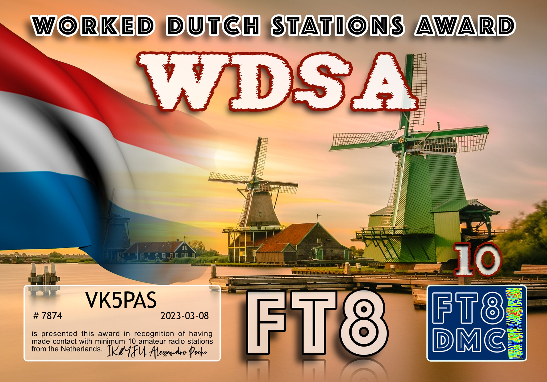
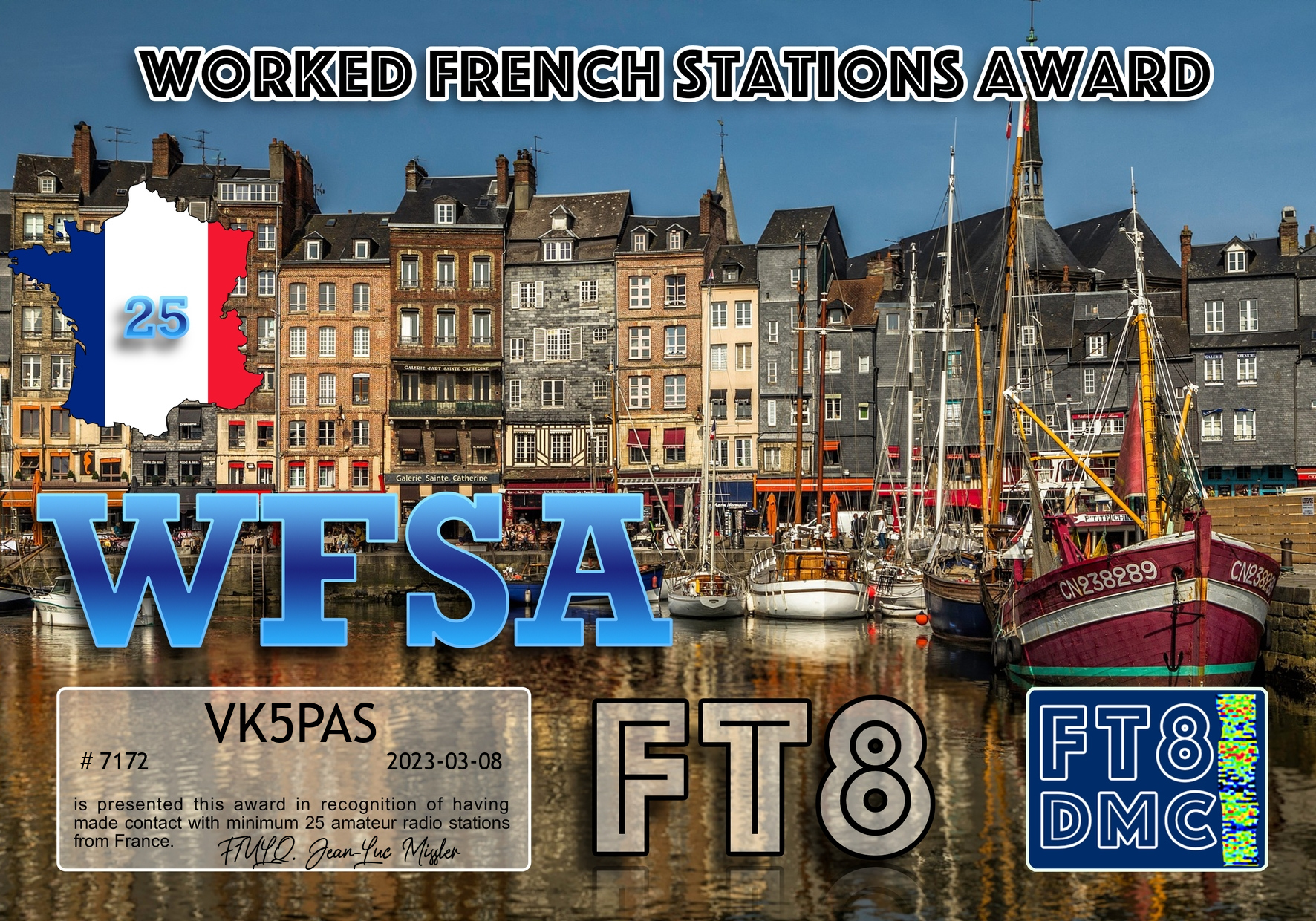
Here are my latest FT8 award certificates.


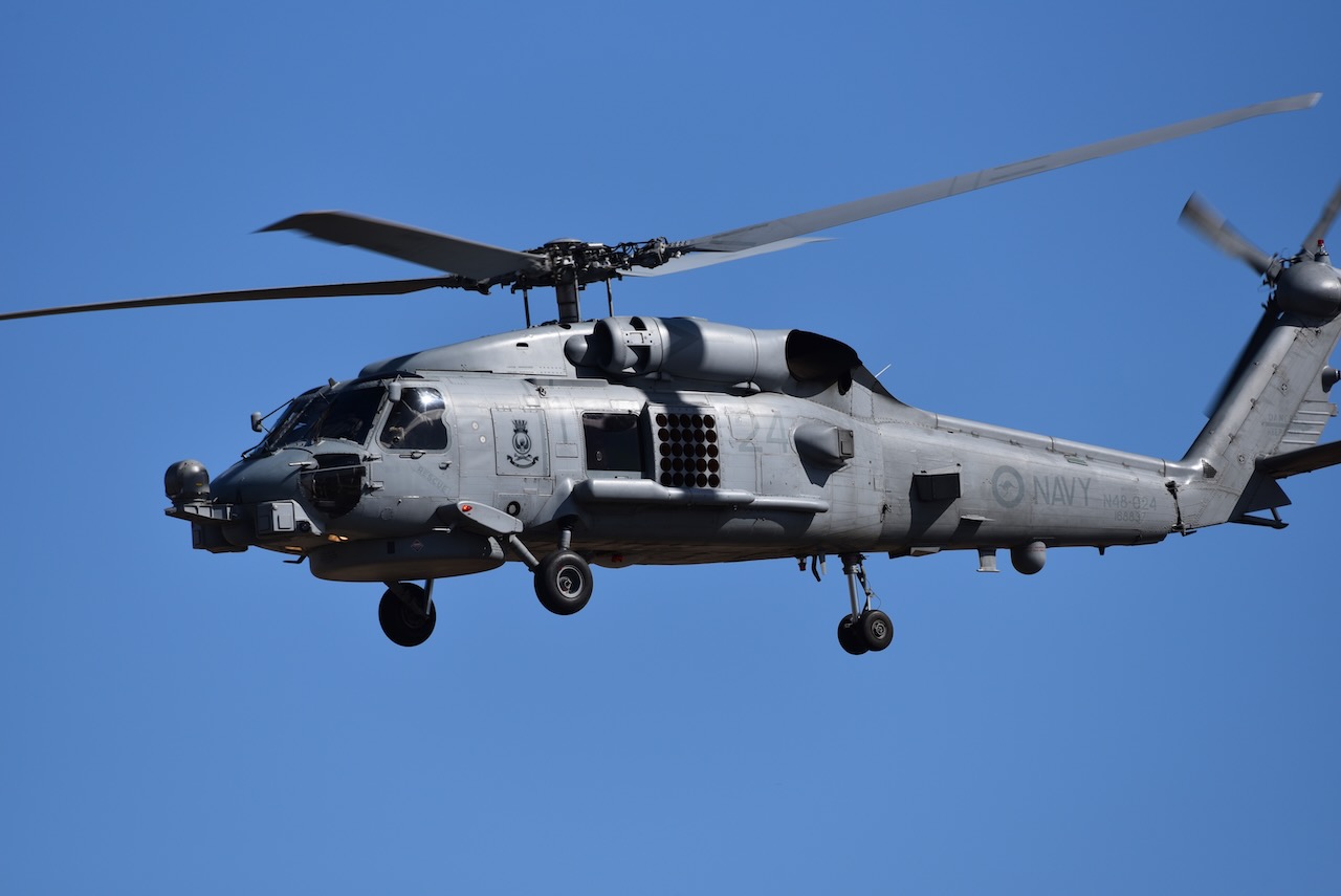
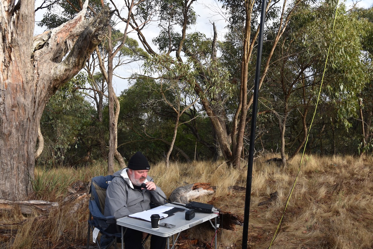
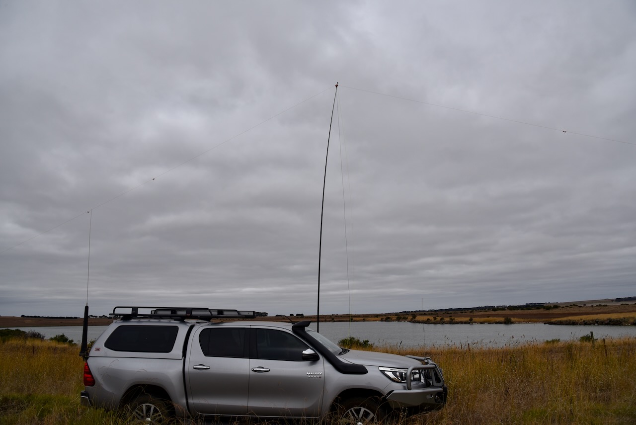
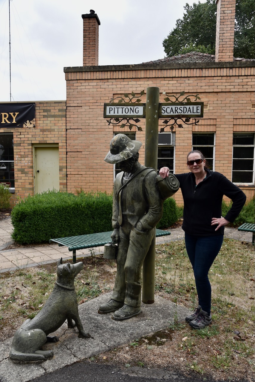
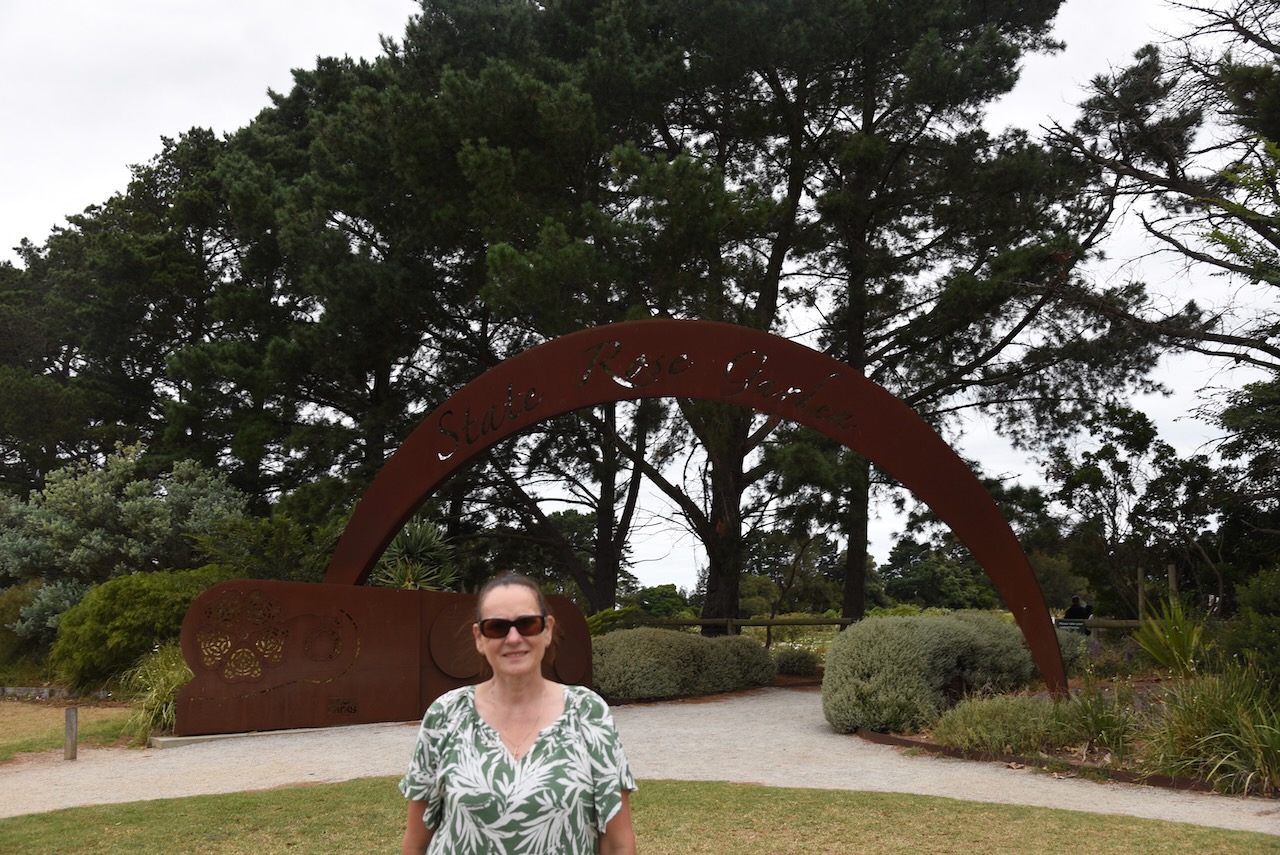
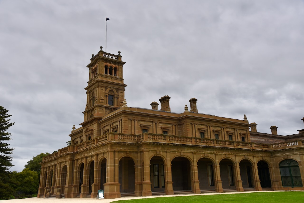
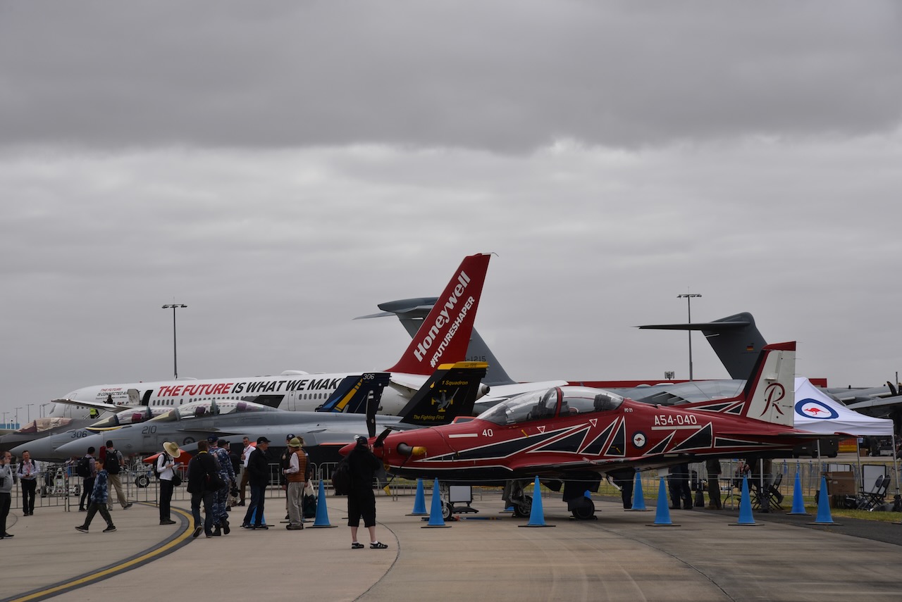
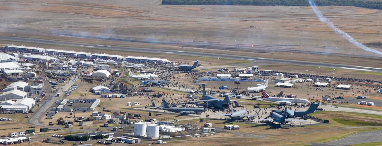
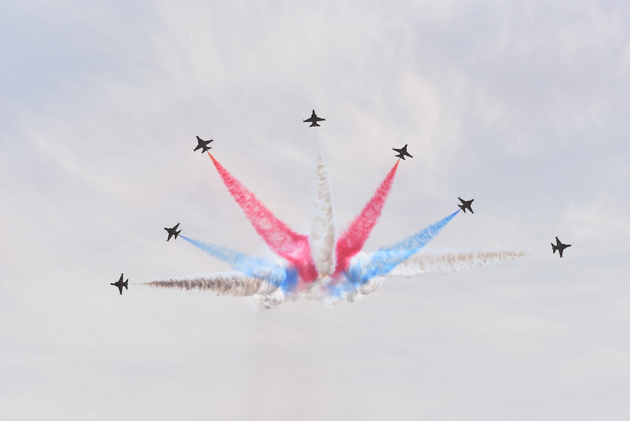
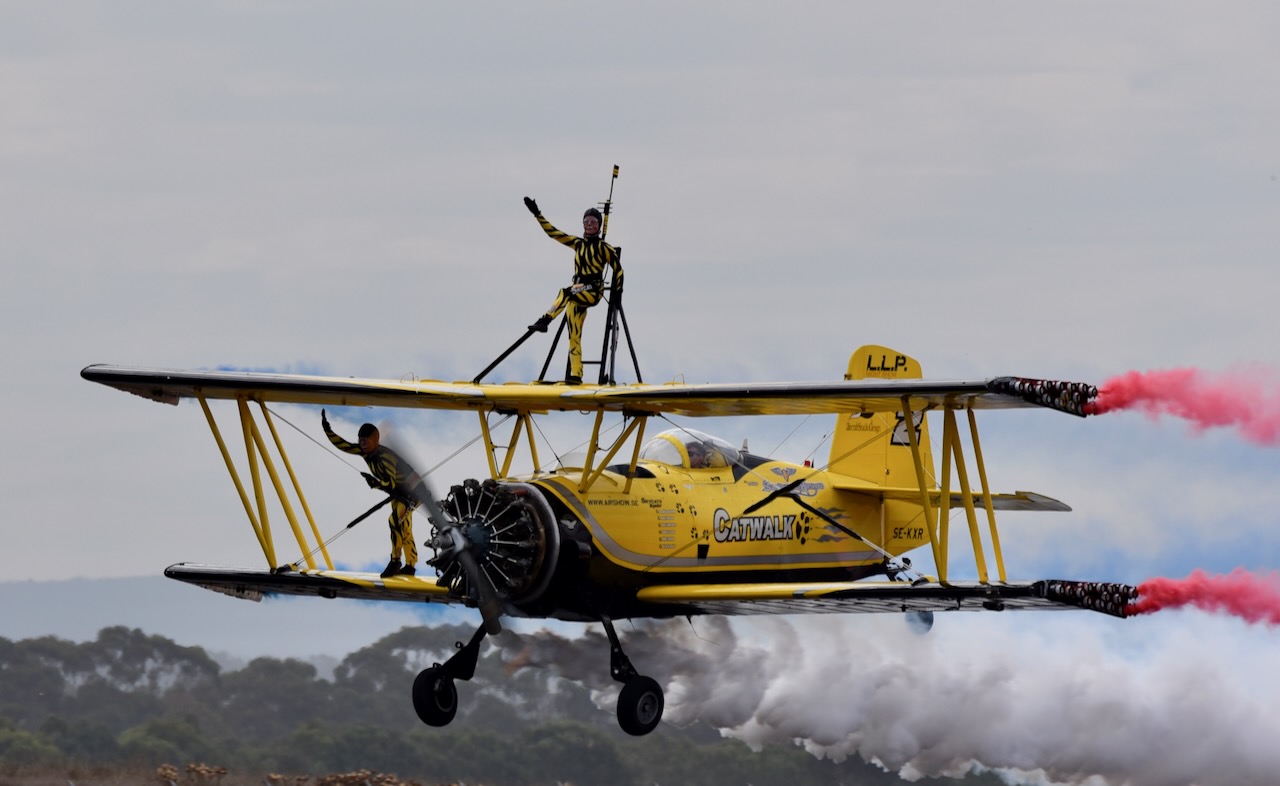
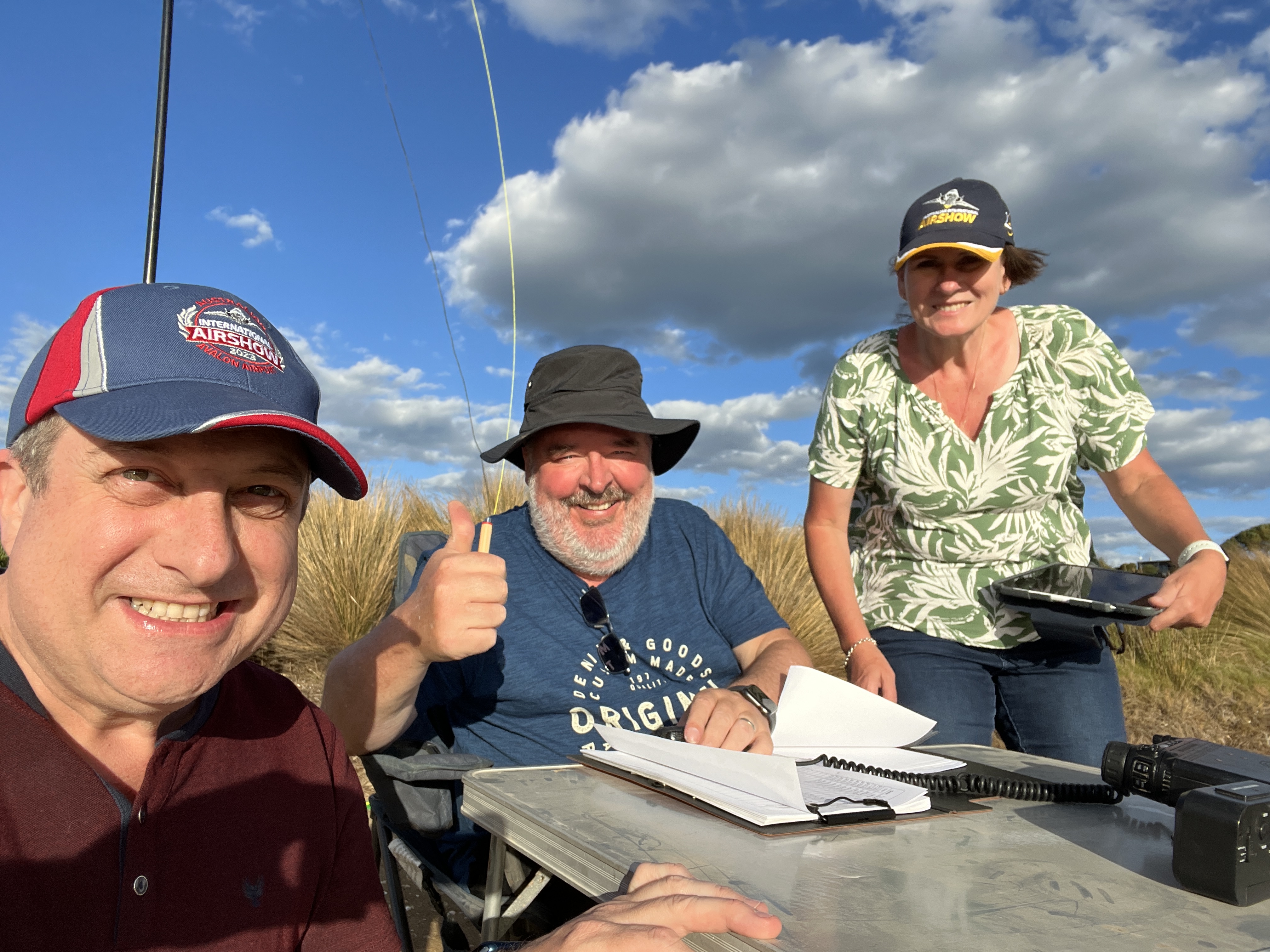
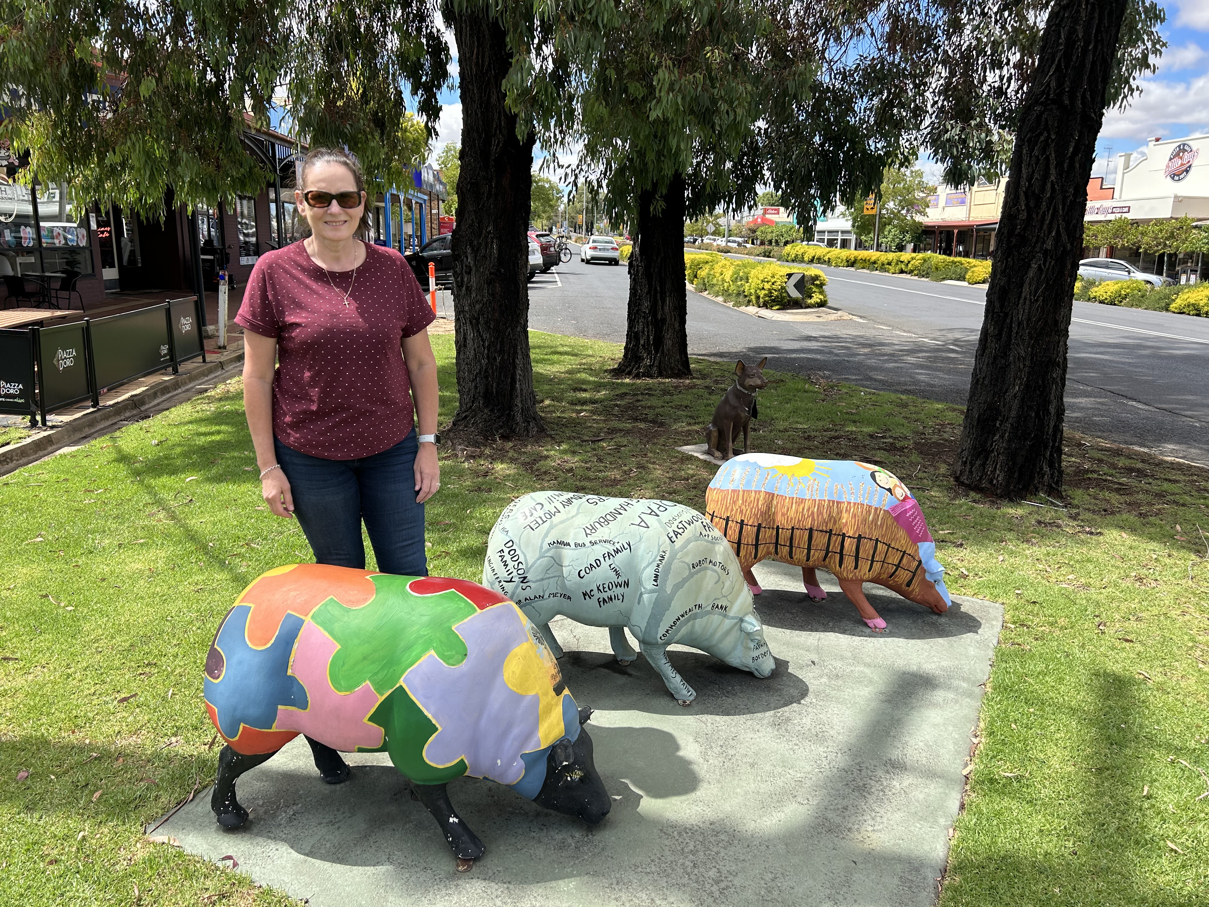
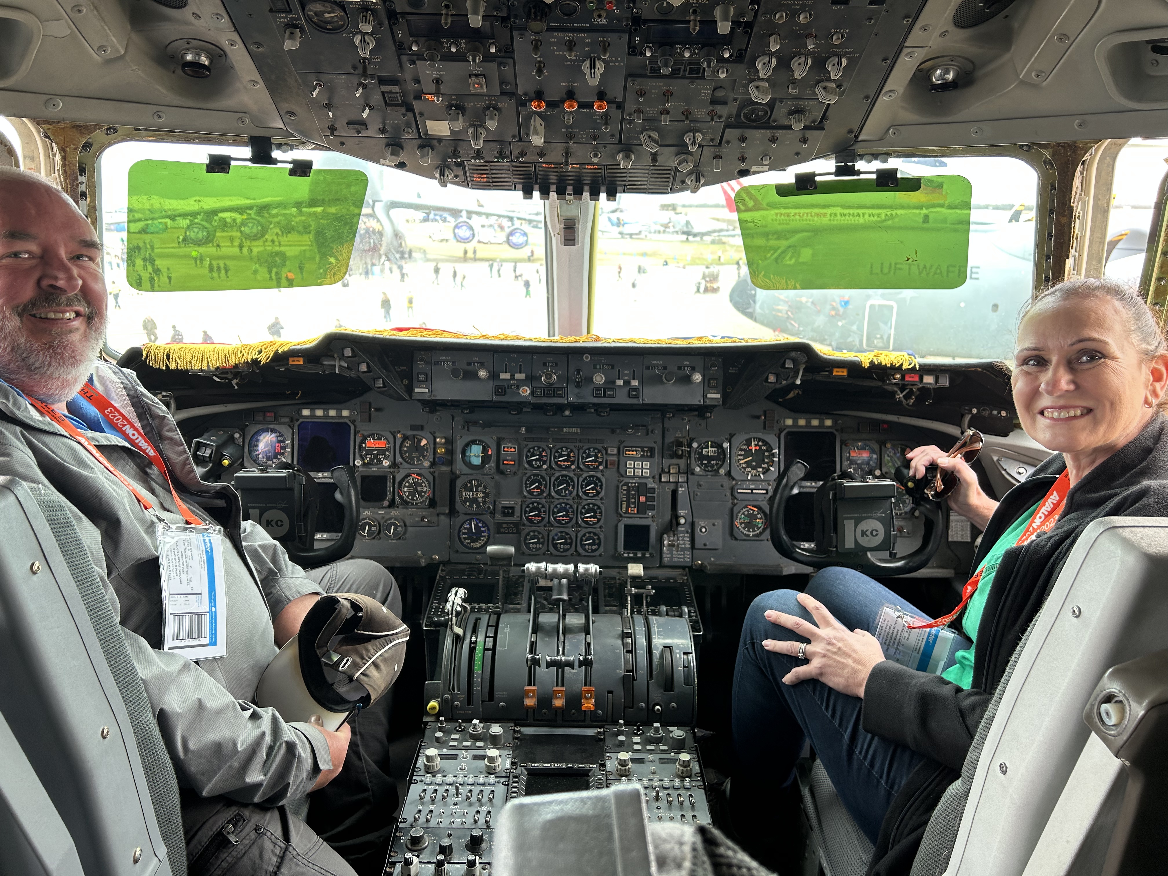
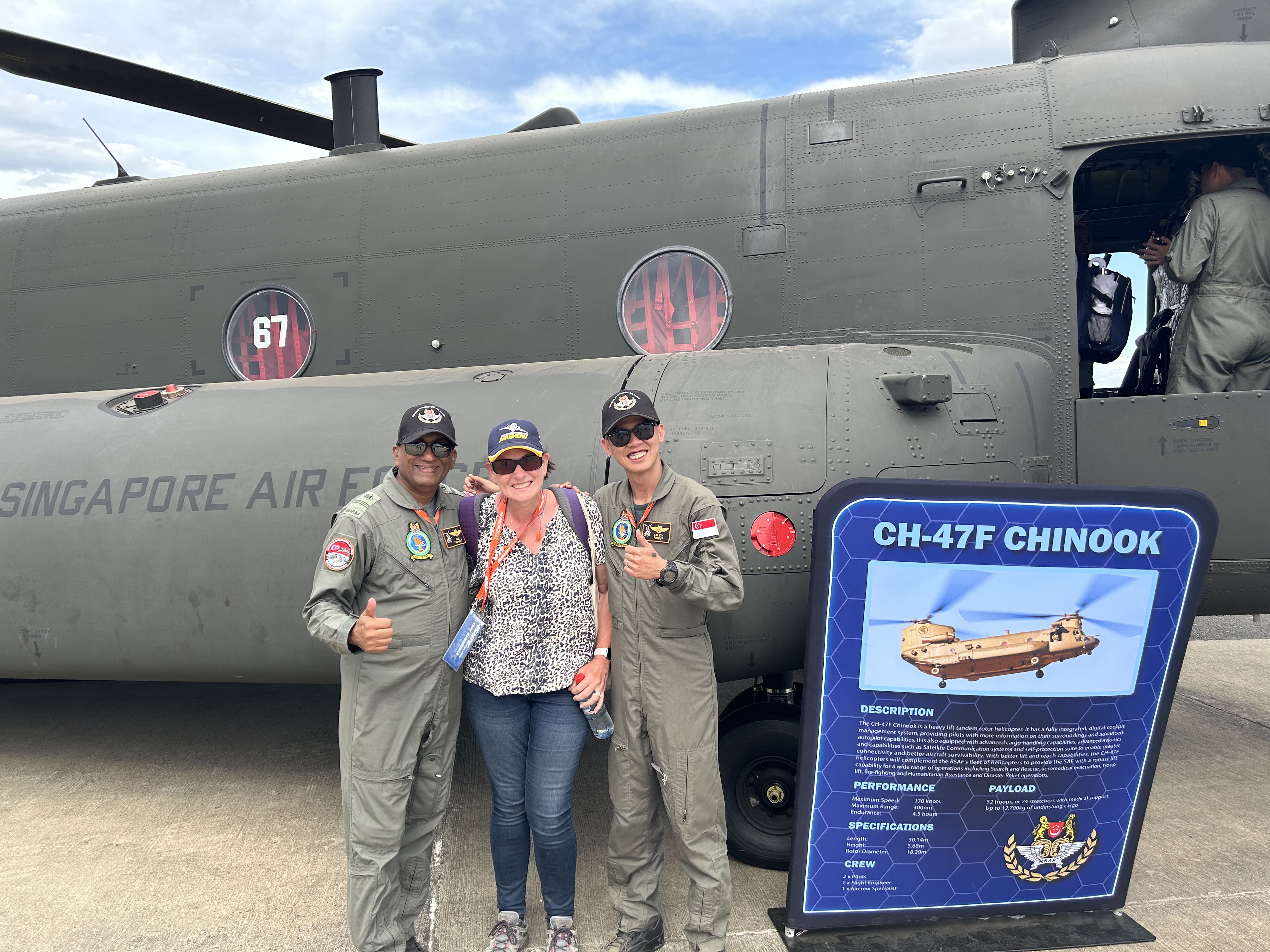
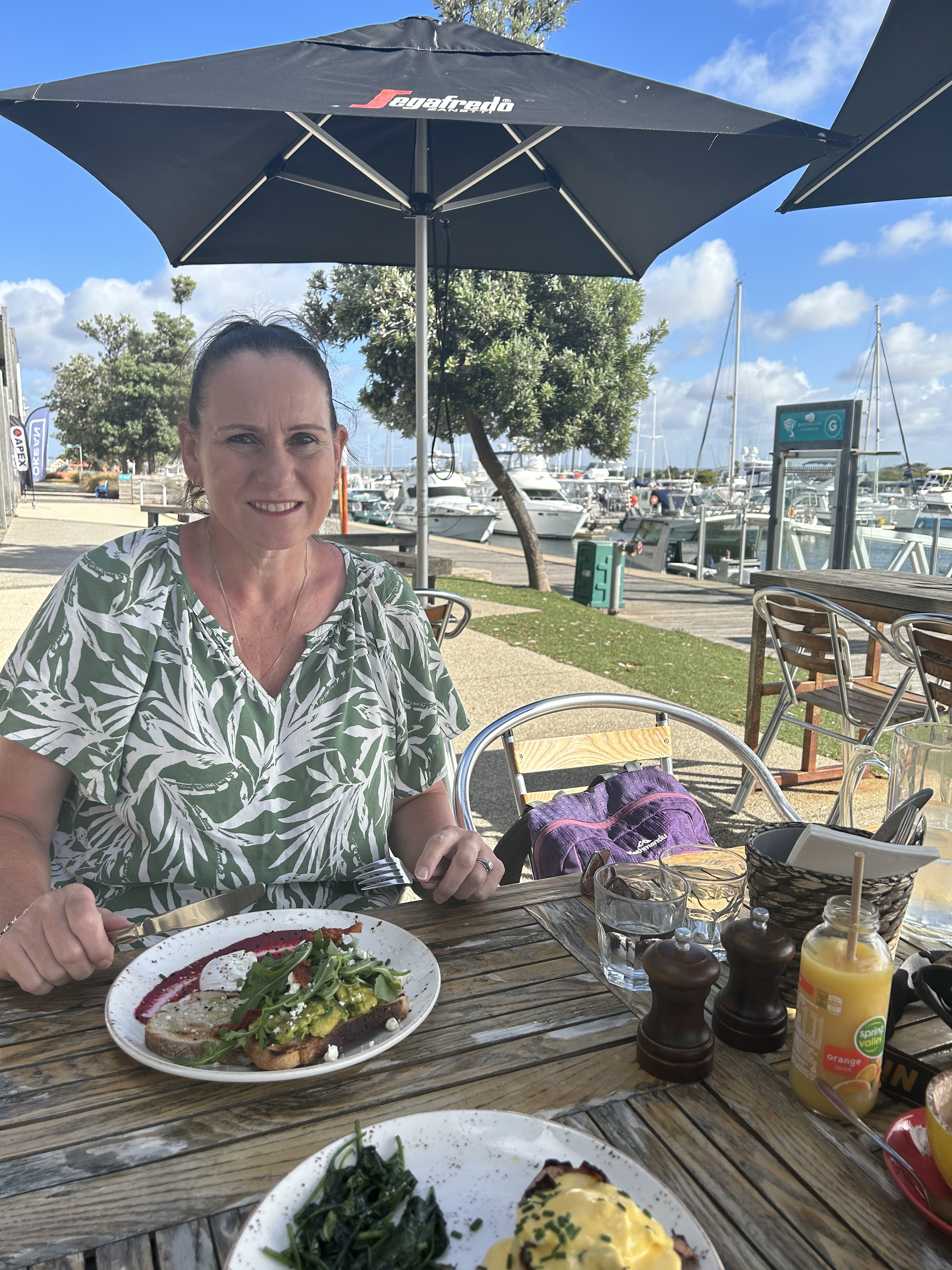
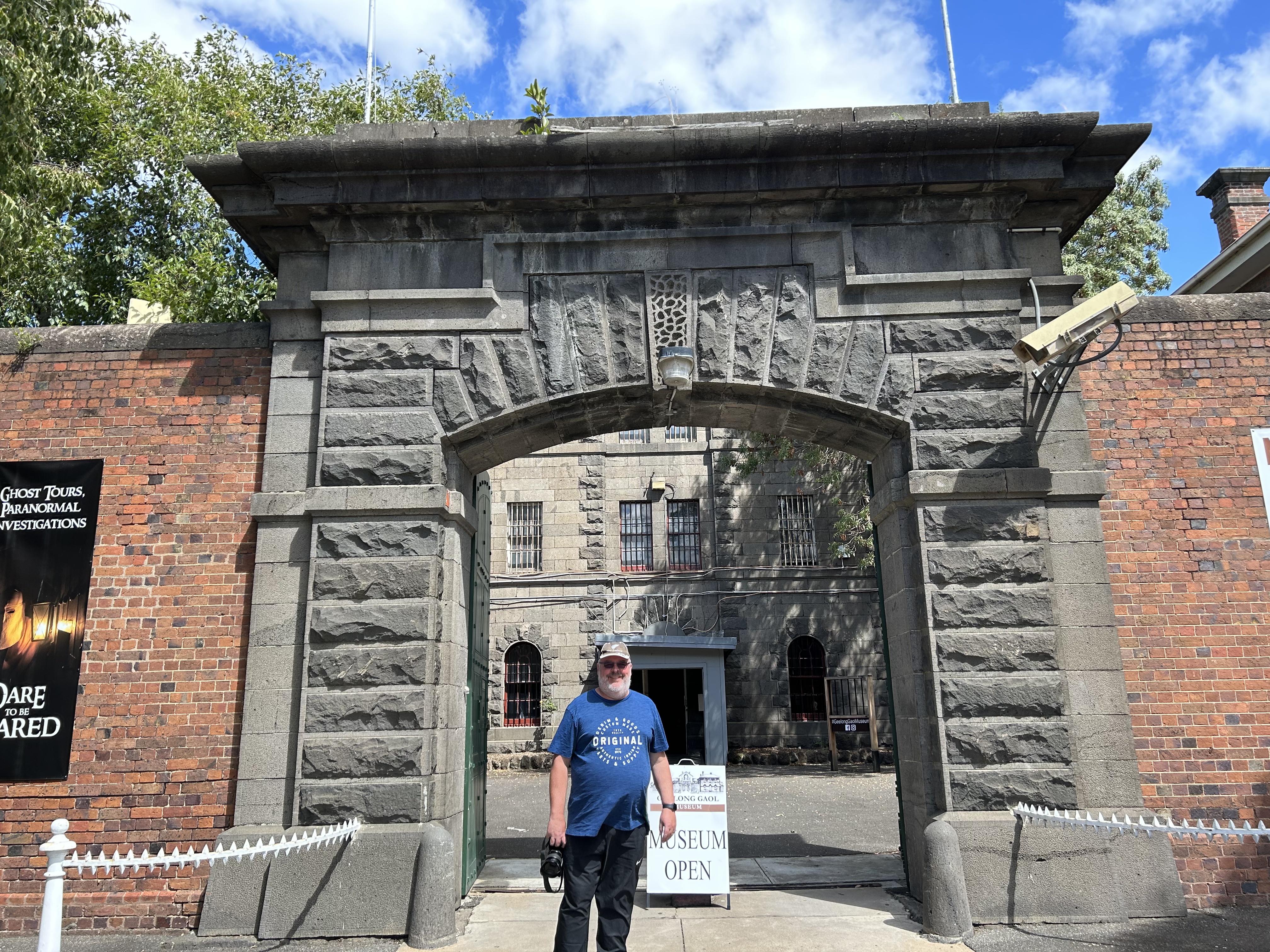
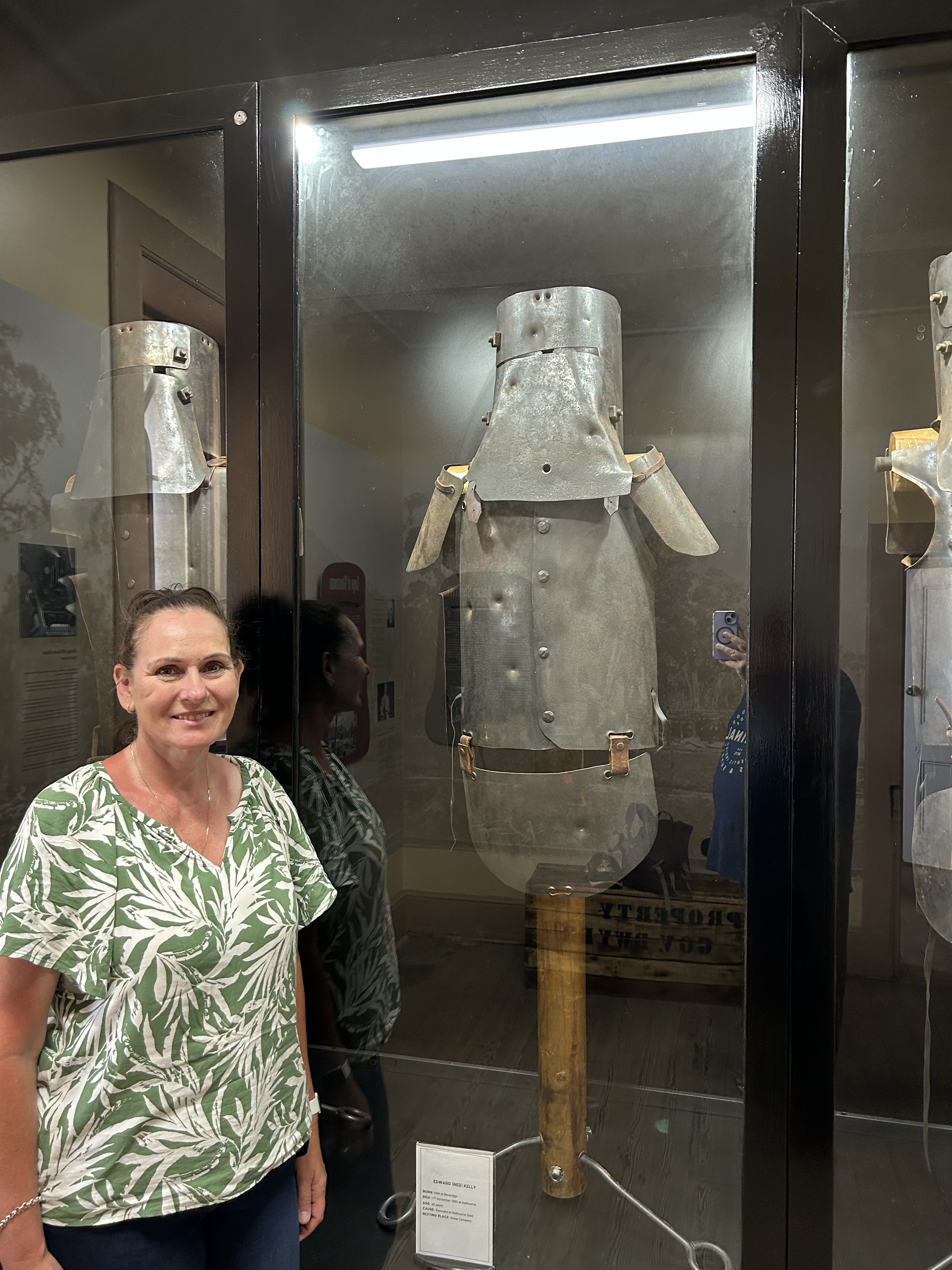
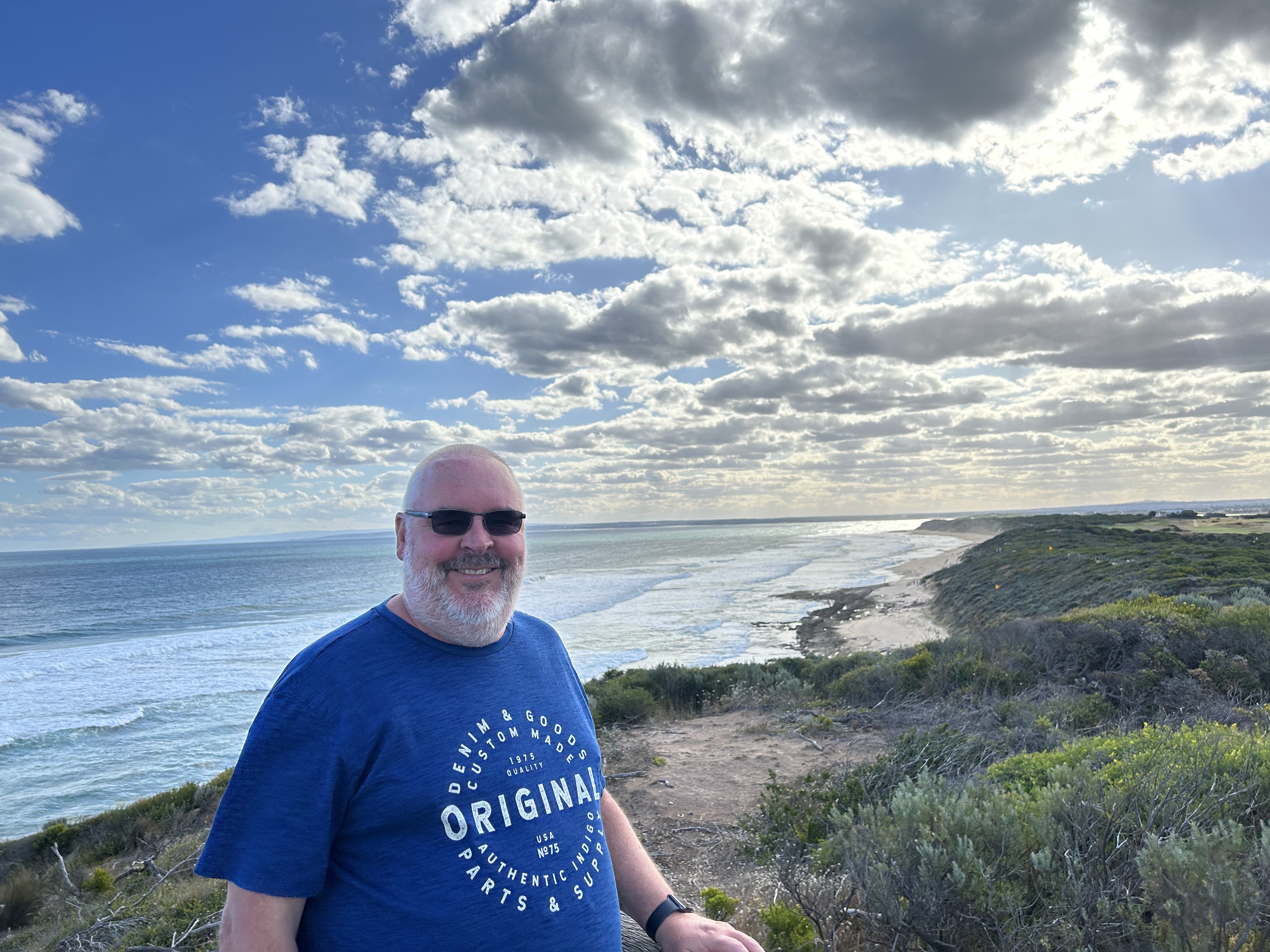
Marija and I have returned from our trip to Victoria to attend the Avalon Air Show.
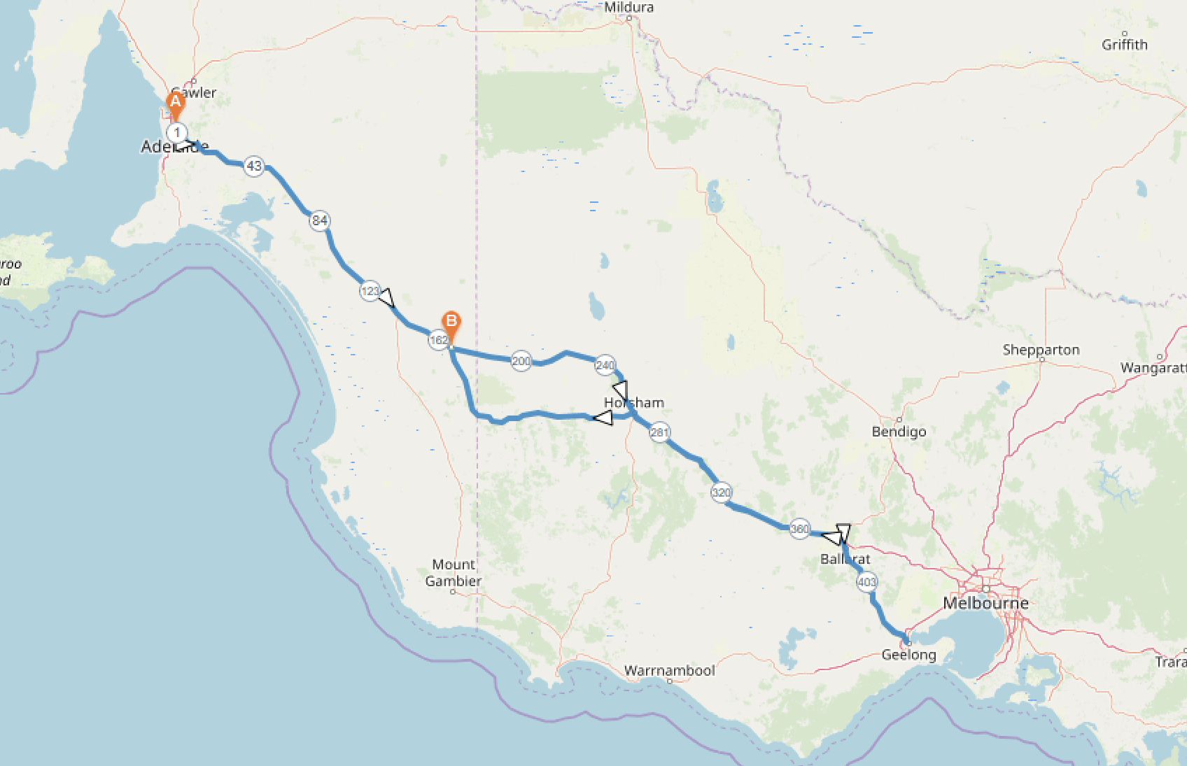
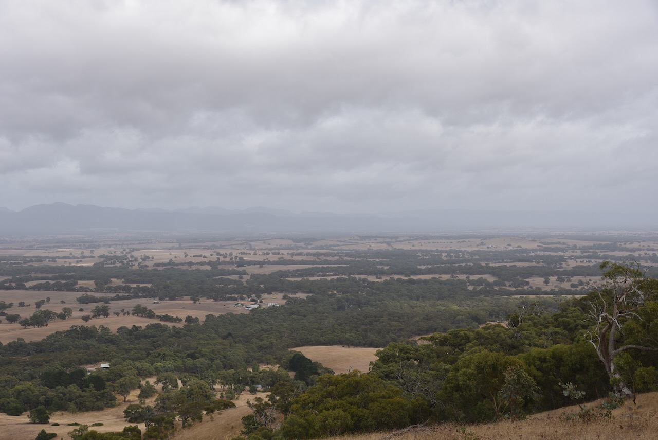
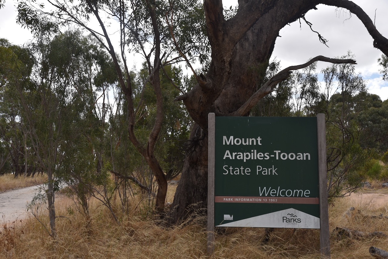
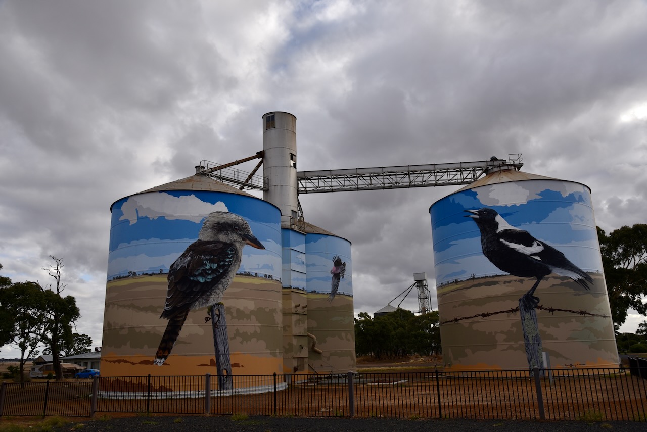
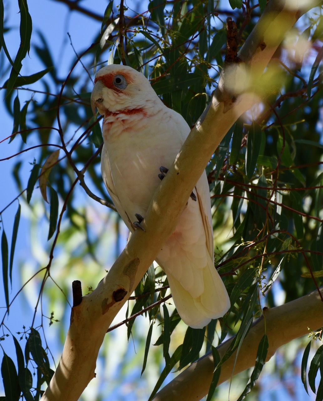
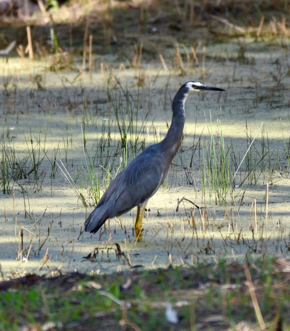
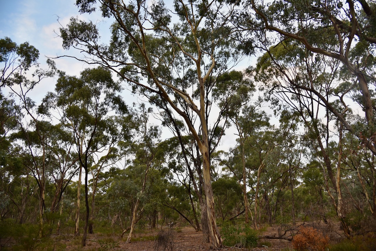
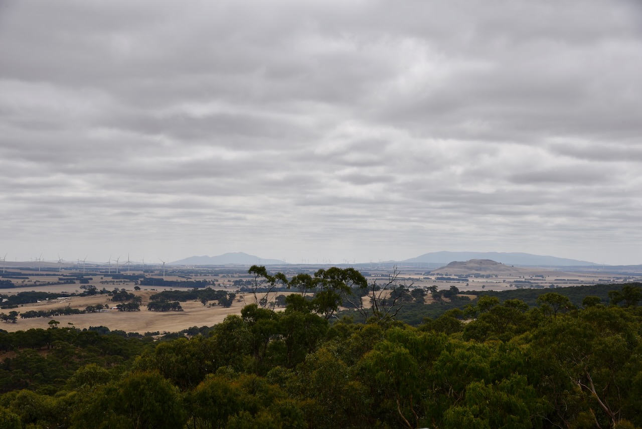
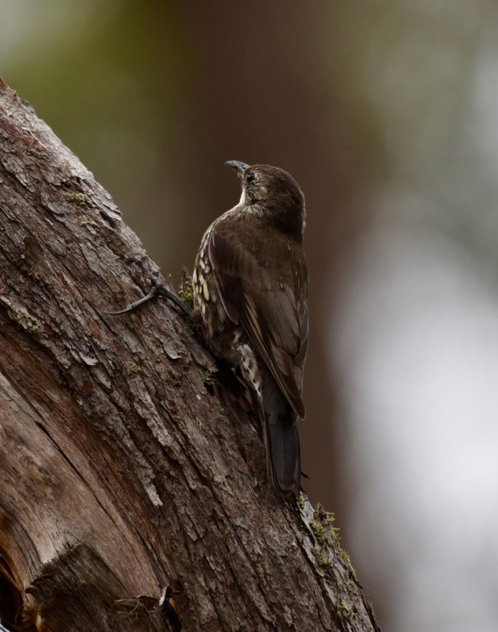
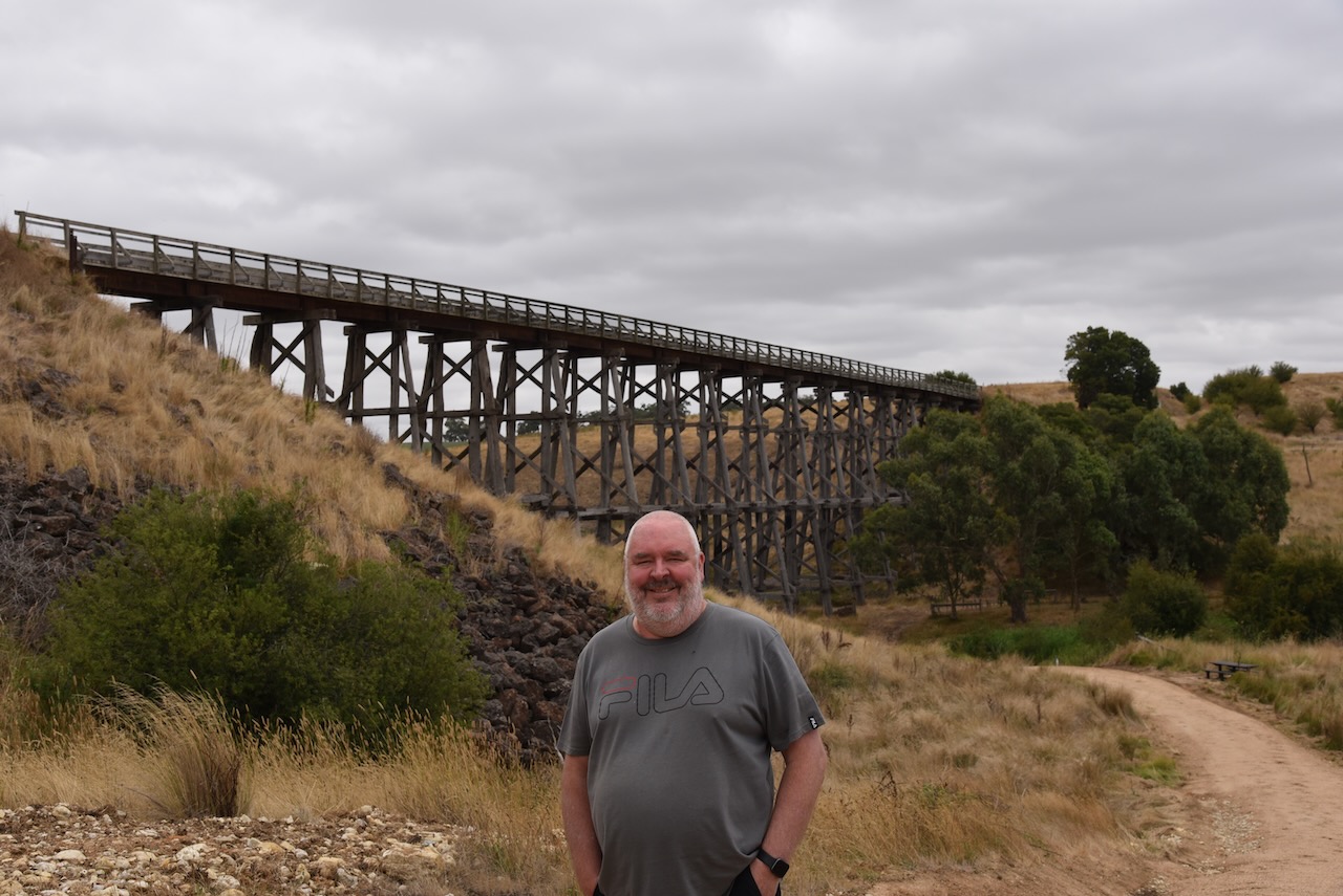
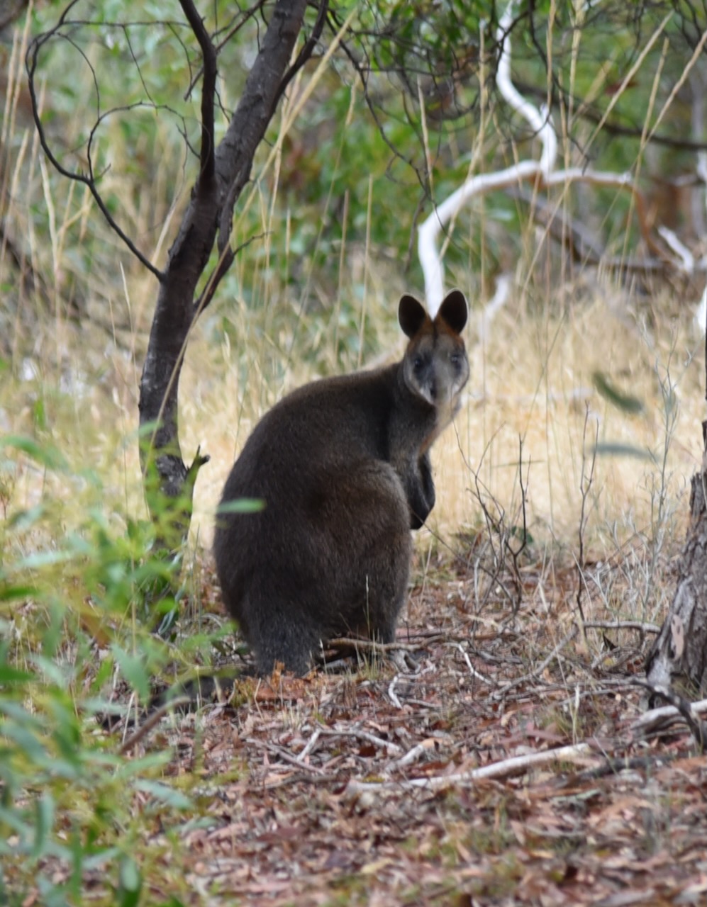
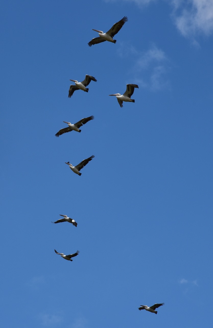
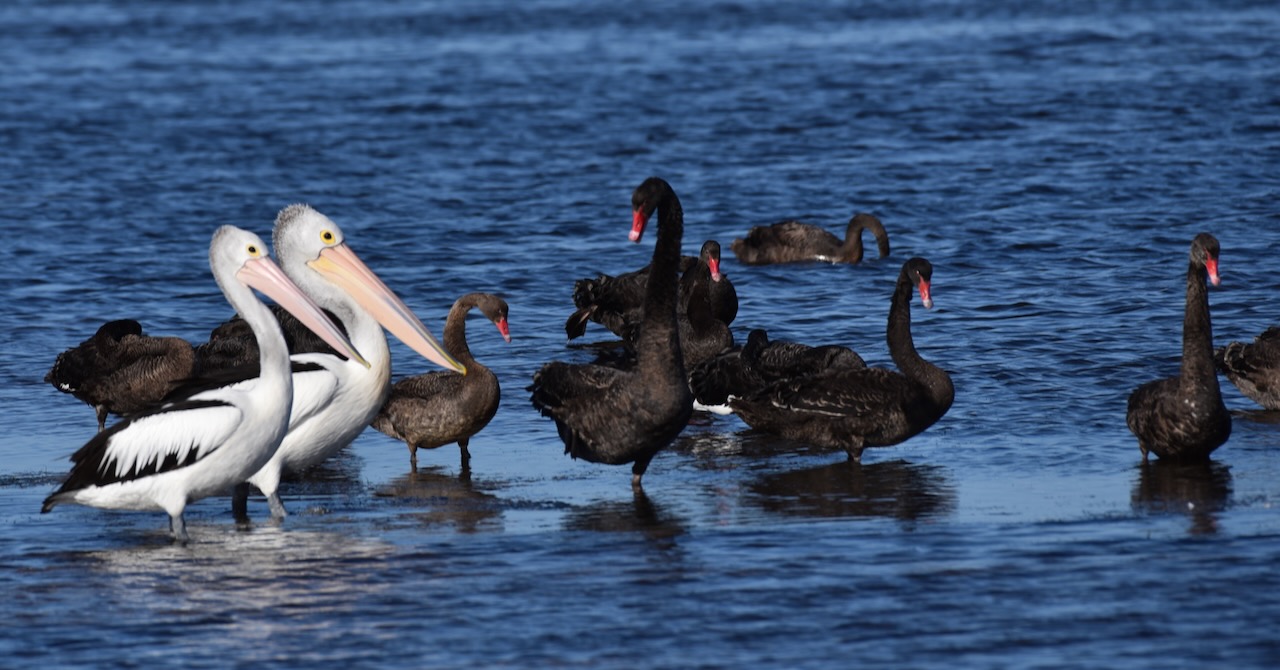
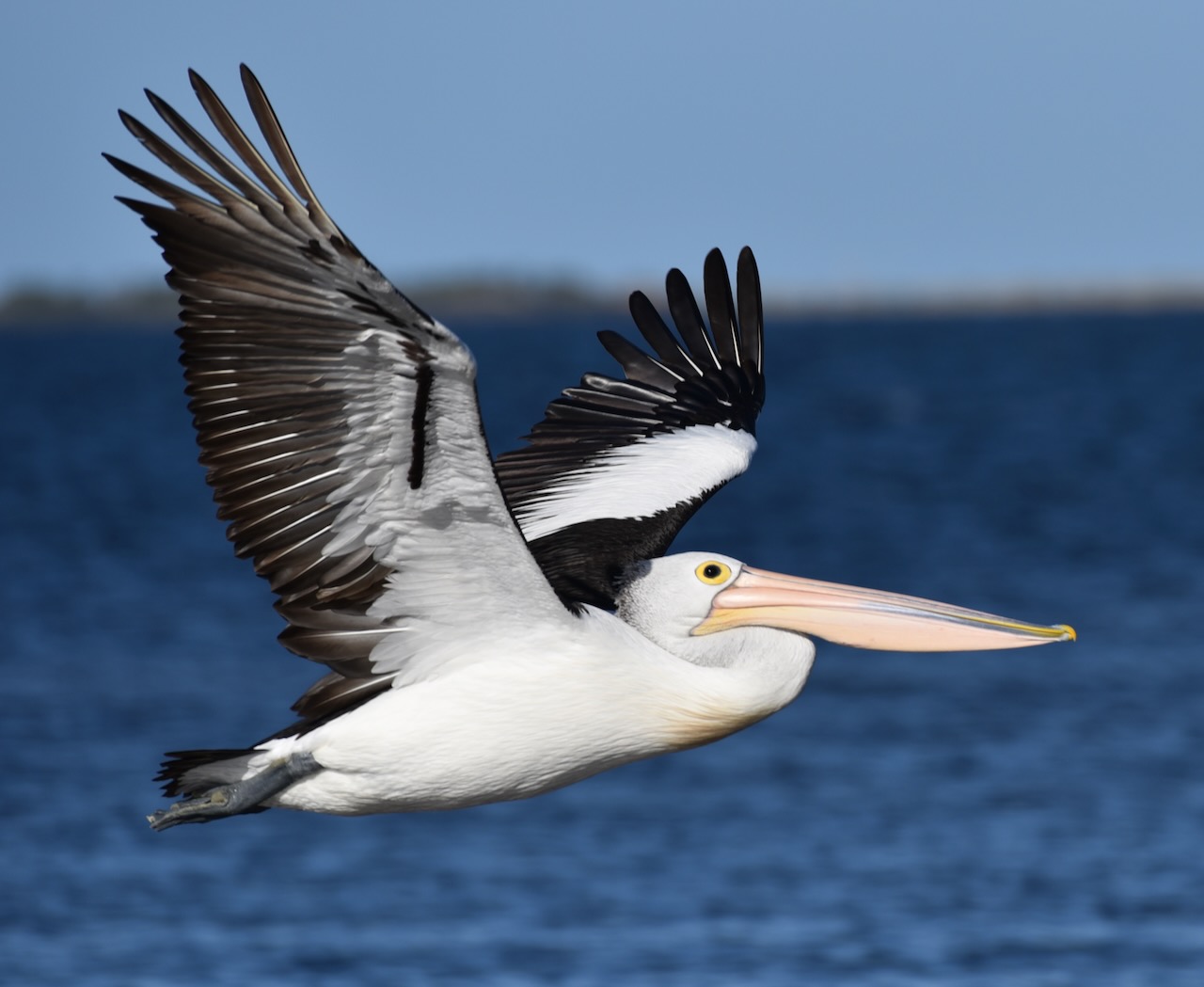
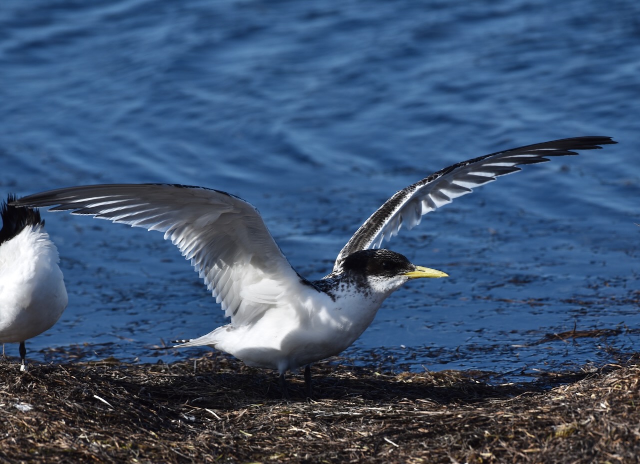
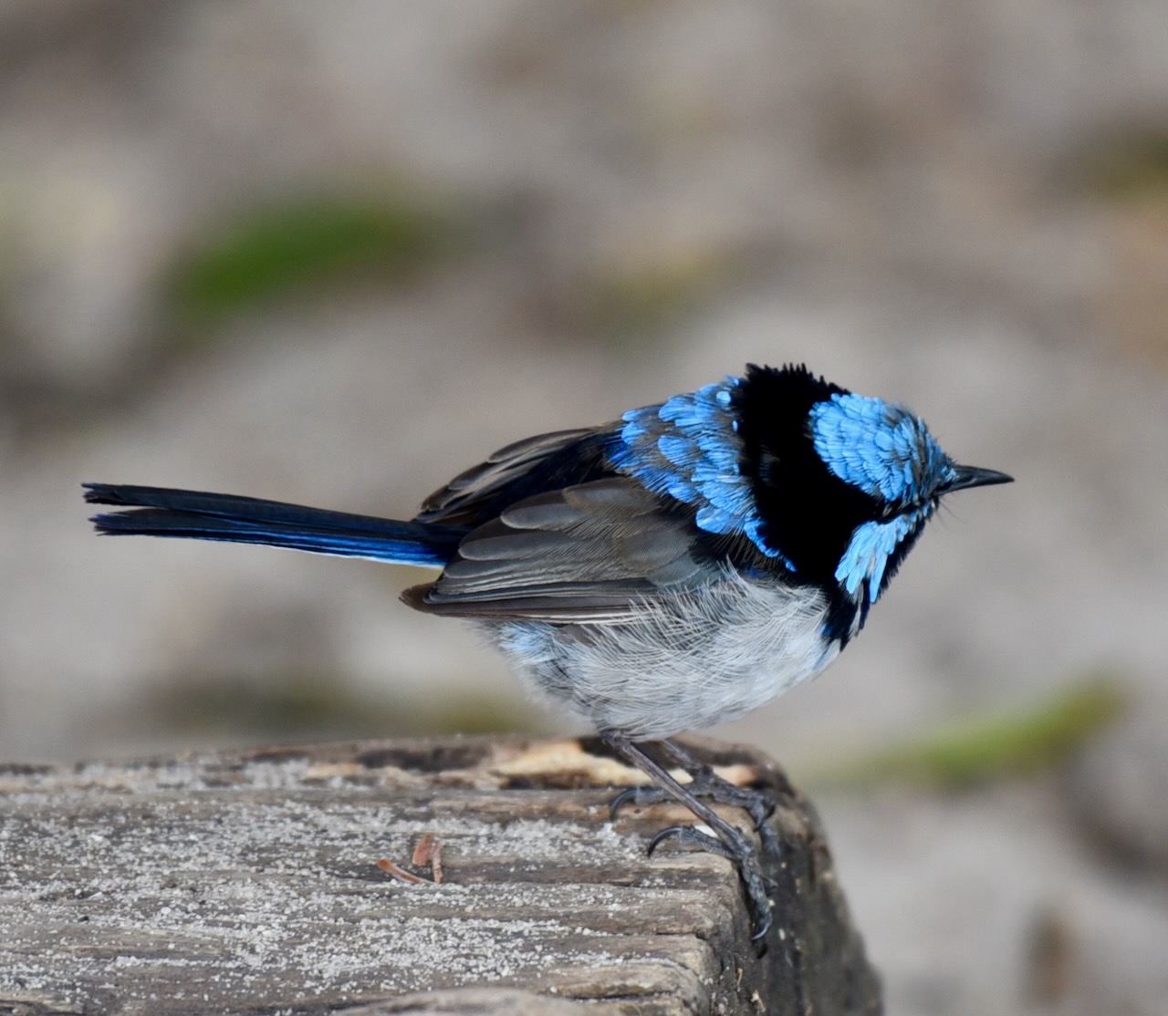
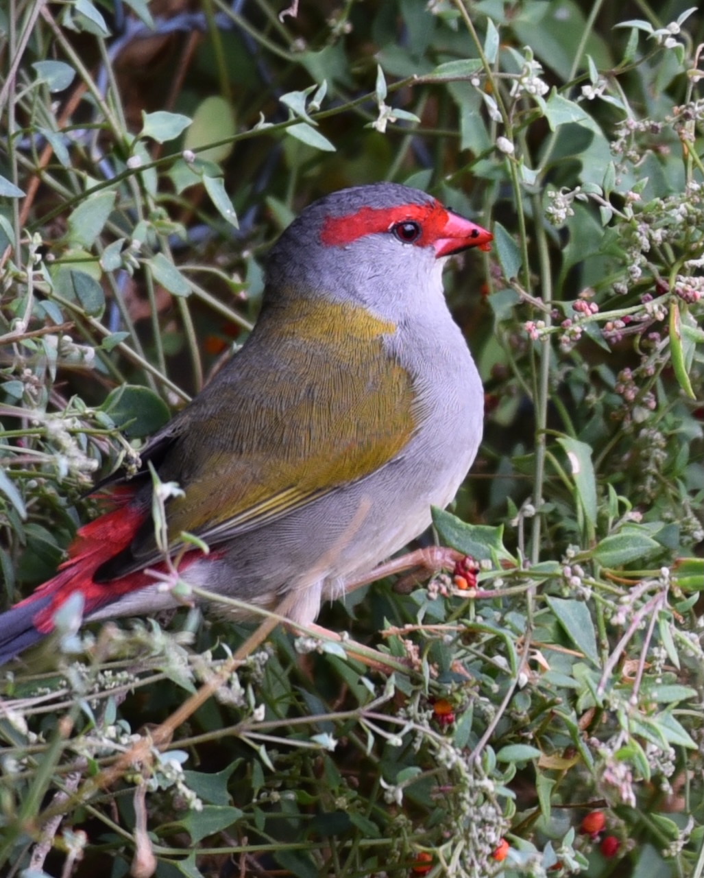
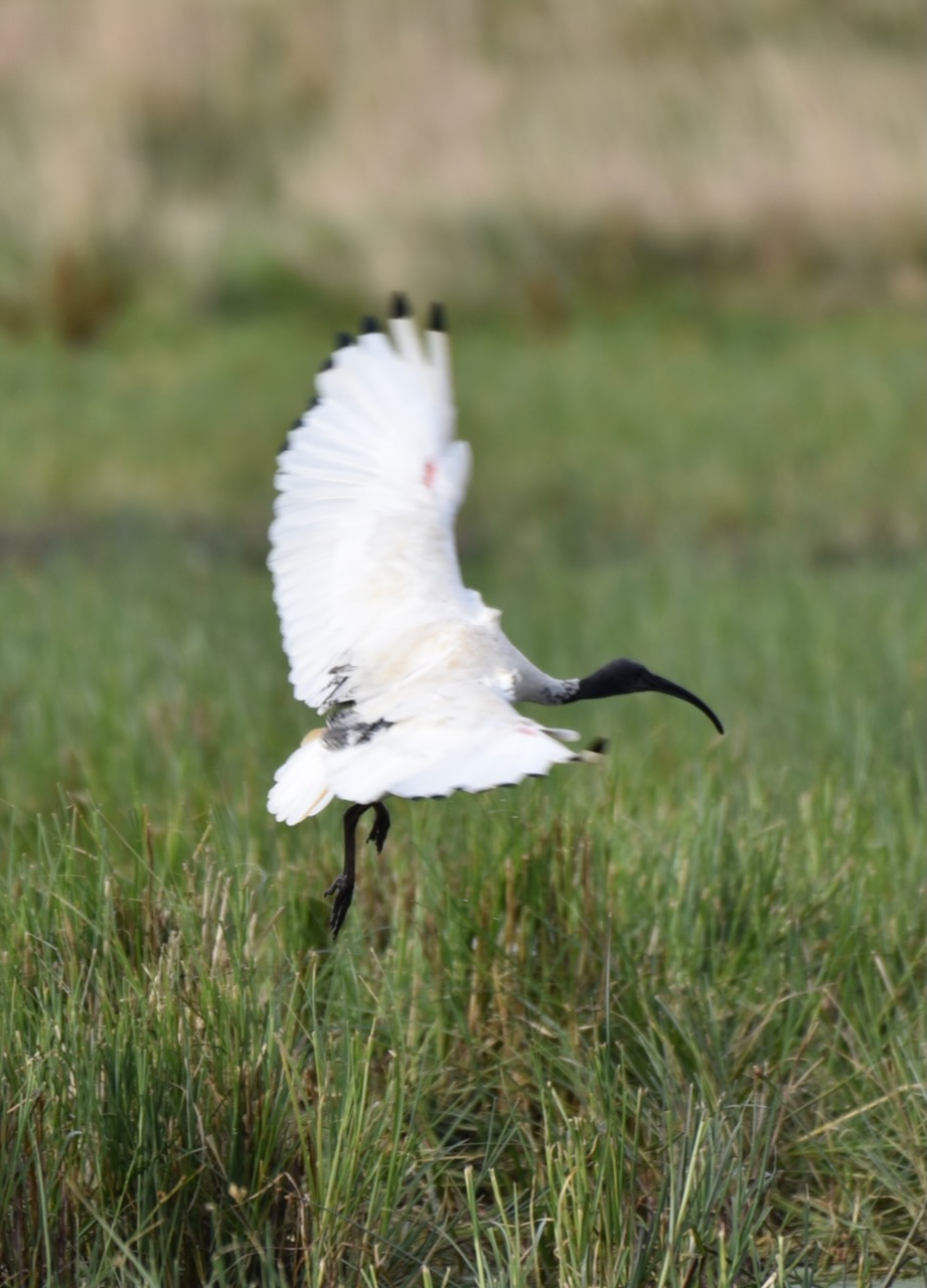
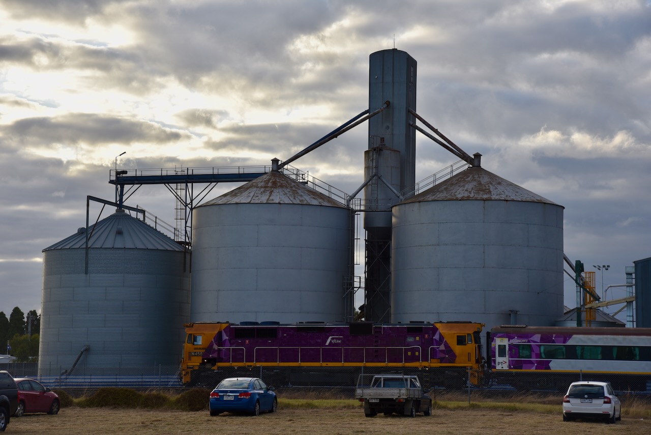
Whilst we were away we activated a number of parks, silos, and a summit.
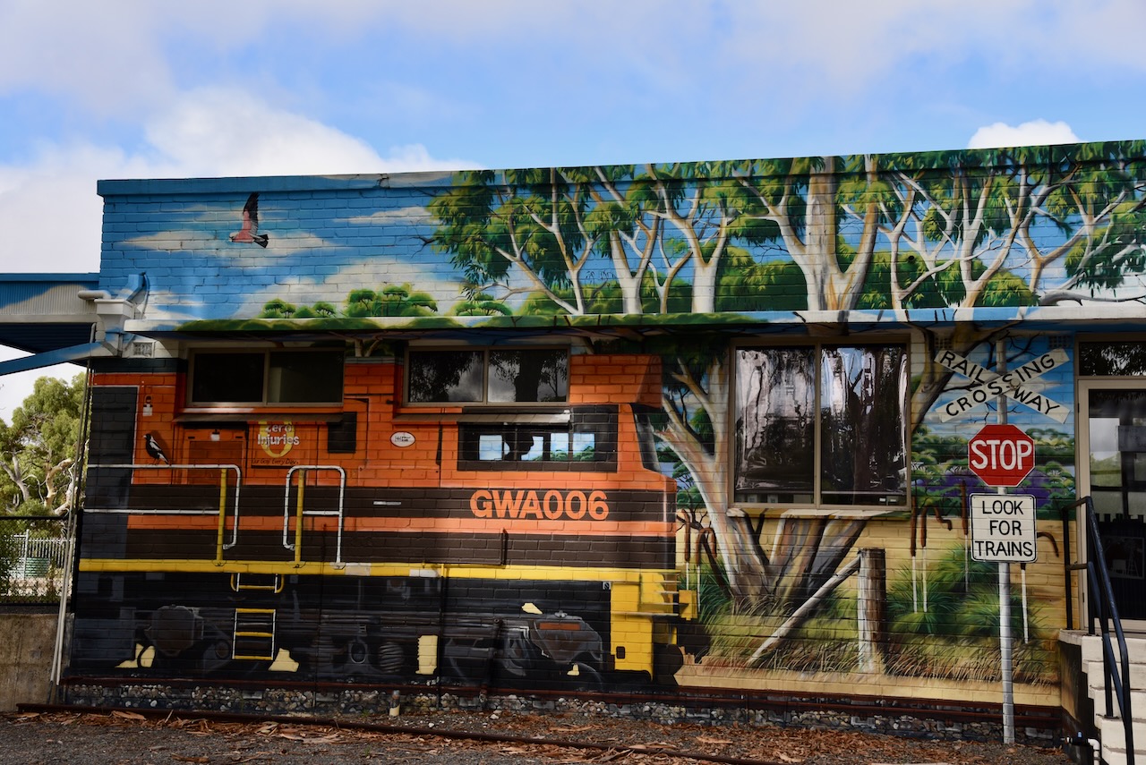
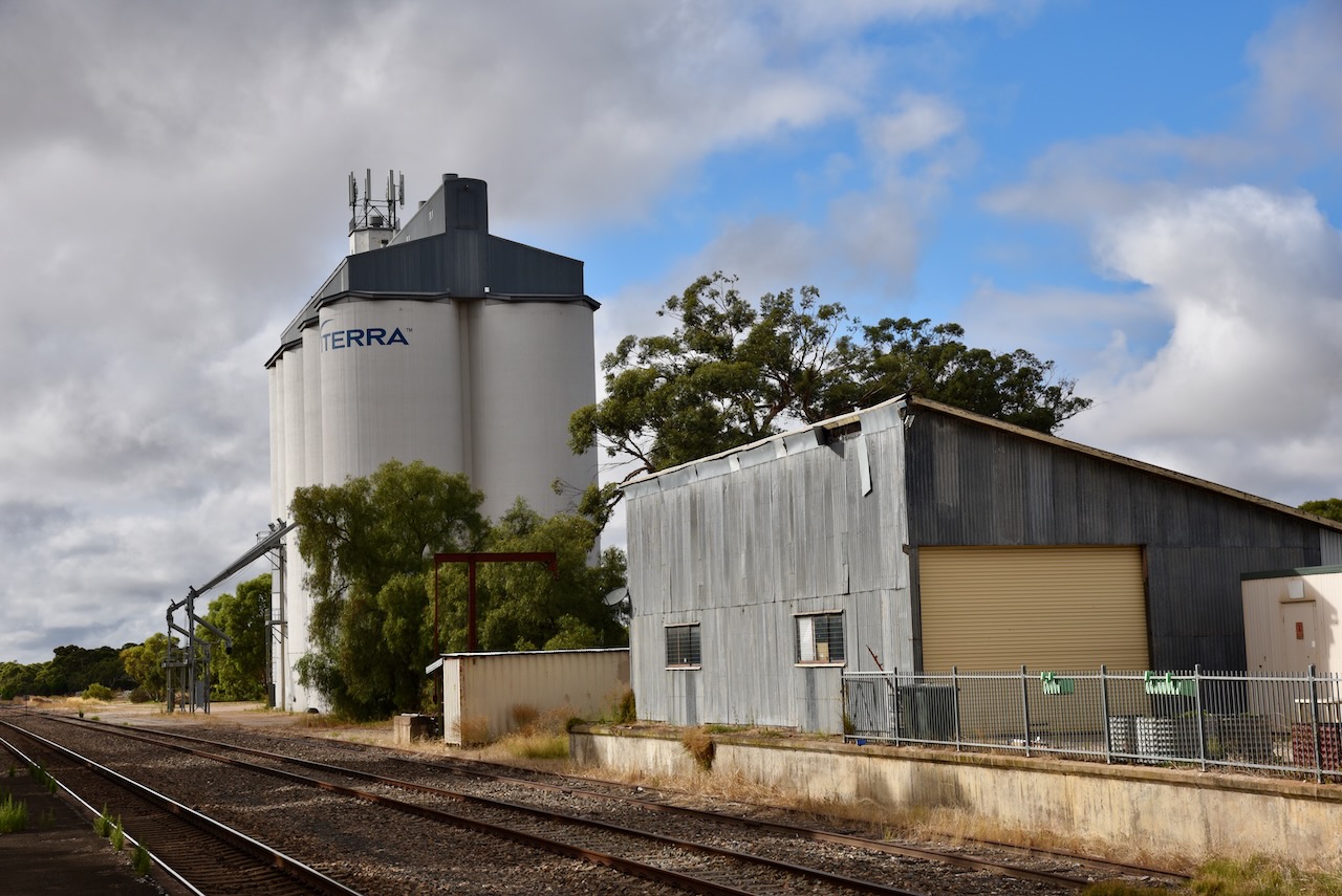
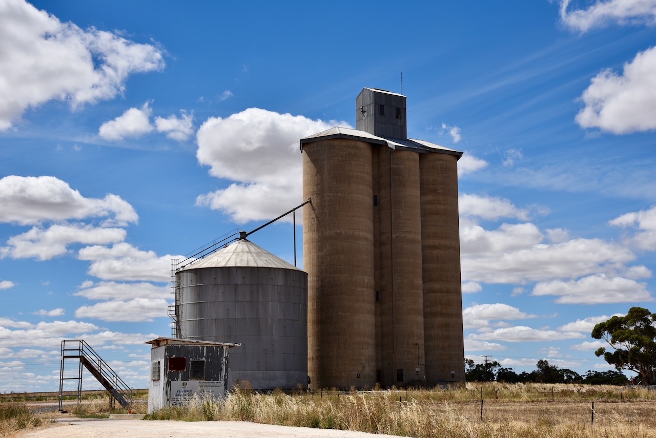
Tintinara silo VK-TNA5
Lillimur silo VK-LLR3
Miram silo VK-MRM3
Jumping Jack Wattle Nature Conservation Reserve VKFF-2120
Tarranginnie silo VK-TRE3
Nhill Swamp Wildlife Reserve VKFF-2412
Deep Lead Nature Conservation Reserve No. 2 VKFF-2078
Rossbridge Wildlife Reserve VKFF-2429
Tatyoon silo VK-TTN3
Salt Lake Wongon Wildlife Reserve VKFF-2433
Skipton silo VK-SKN3
Linton Flora & Fauna Reserve VKFF-2370
Mount Erip Flora Reserve VKFF-2397
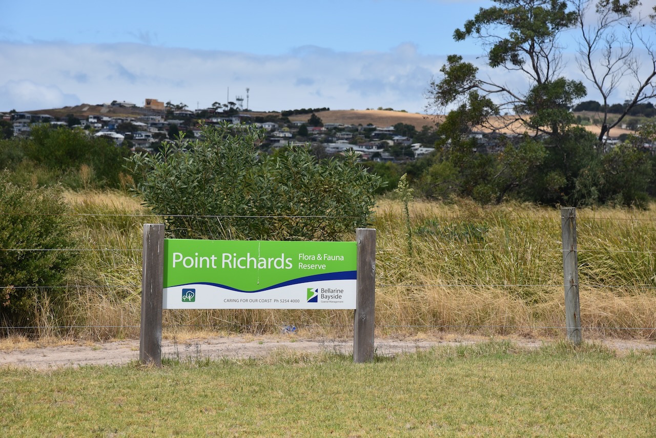
Port Arlington (Point Richards) Flora Reserve VKFF-2423
Salt Lagoon St Leonards Wildlife Reserve VKFF-2432
Swan Bay-Edwards Point Wildlife Reserve VKFF-2444
Port Phillip Heads Marine Park VKFF-0954
The Spit Wildlife Reserve VKFF-2452
Little River silo VK-LRA3
Lara silo VK-LRR3
Breamlea Flora & Fauna Reserve VKFF-2276
Teesdale Flora Reserve VKFF-2206
Mount Mercer Nature Conservation Reserve VKFF-2154
Warrambine Flora Reserve VKFF-2479
Cordinhap Nature Conservation Reserve VKFF-2070
Commeralghip Flora Reserve VKFF-2296
Illabrook Rail Line Nature Conservation Reserve VKFF-2110
Illabrook Grassland Flora Reserve VKFF-2335
One Tree Hill VK3/ VS-9036 & Ararat Hills Regional Park VKFF-0958
Remlaw silo VK-RMW3
Walmer South silo VK-WLR3
Natimuk silo VK-NTK3
Arapiles silo VK-ARS3
Mount Araplies-Tooan State Park VKFF-0765
Nurcoung Flora Reserve VKFF-2417
Mitre silo VK-MTE3
Gymbowen silo VK-GYN3
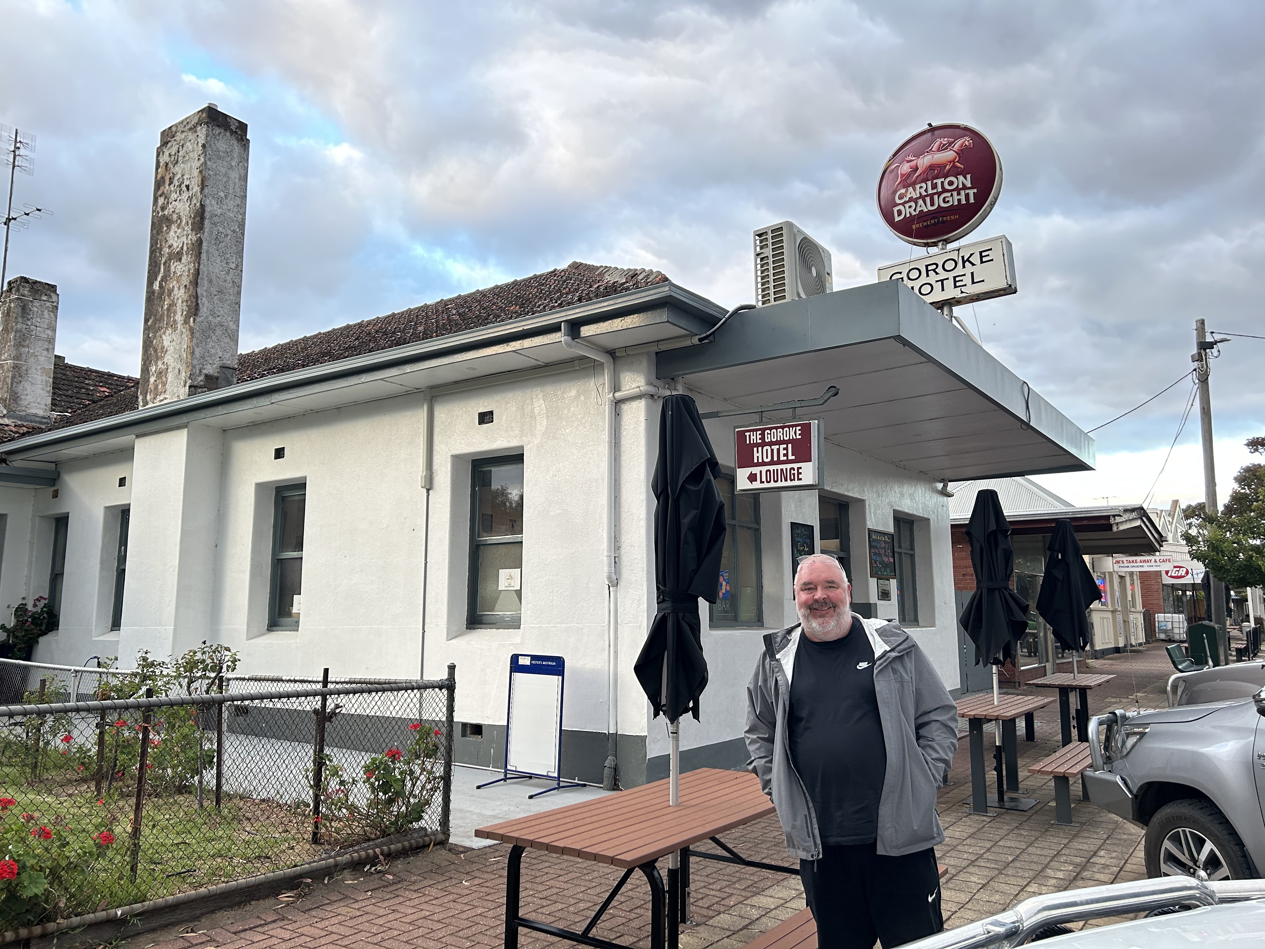
Goroke silo VK-GRE3
THANK YOU TO EVERYONE who called us.


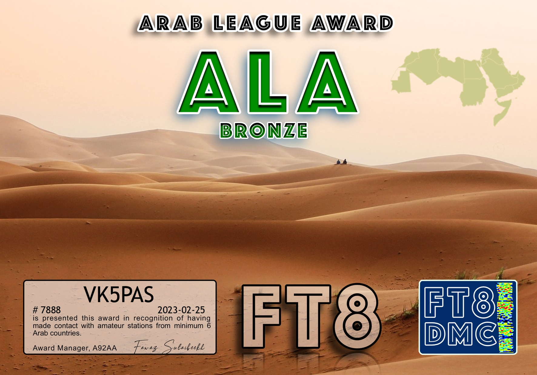
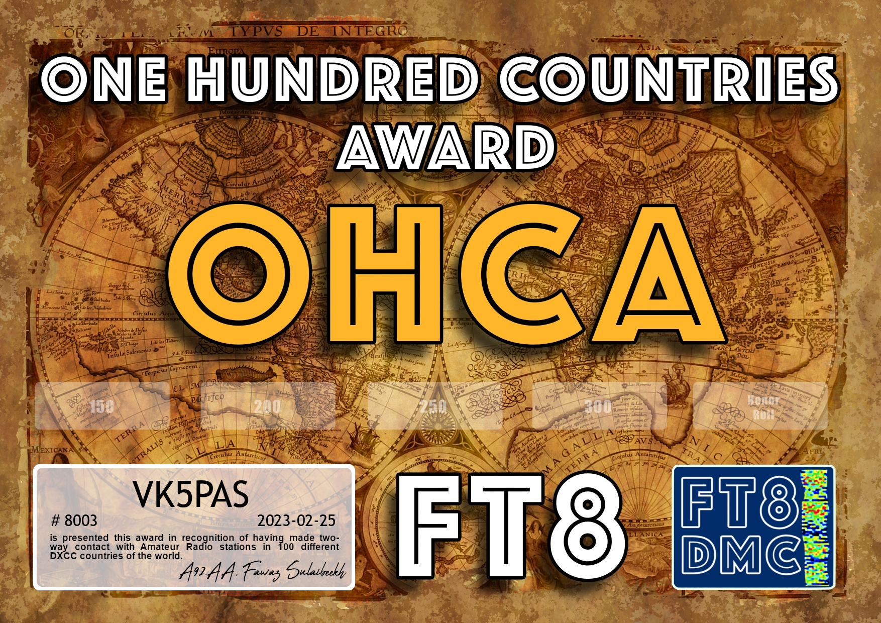
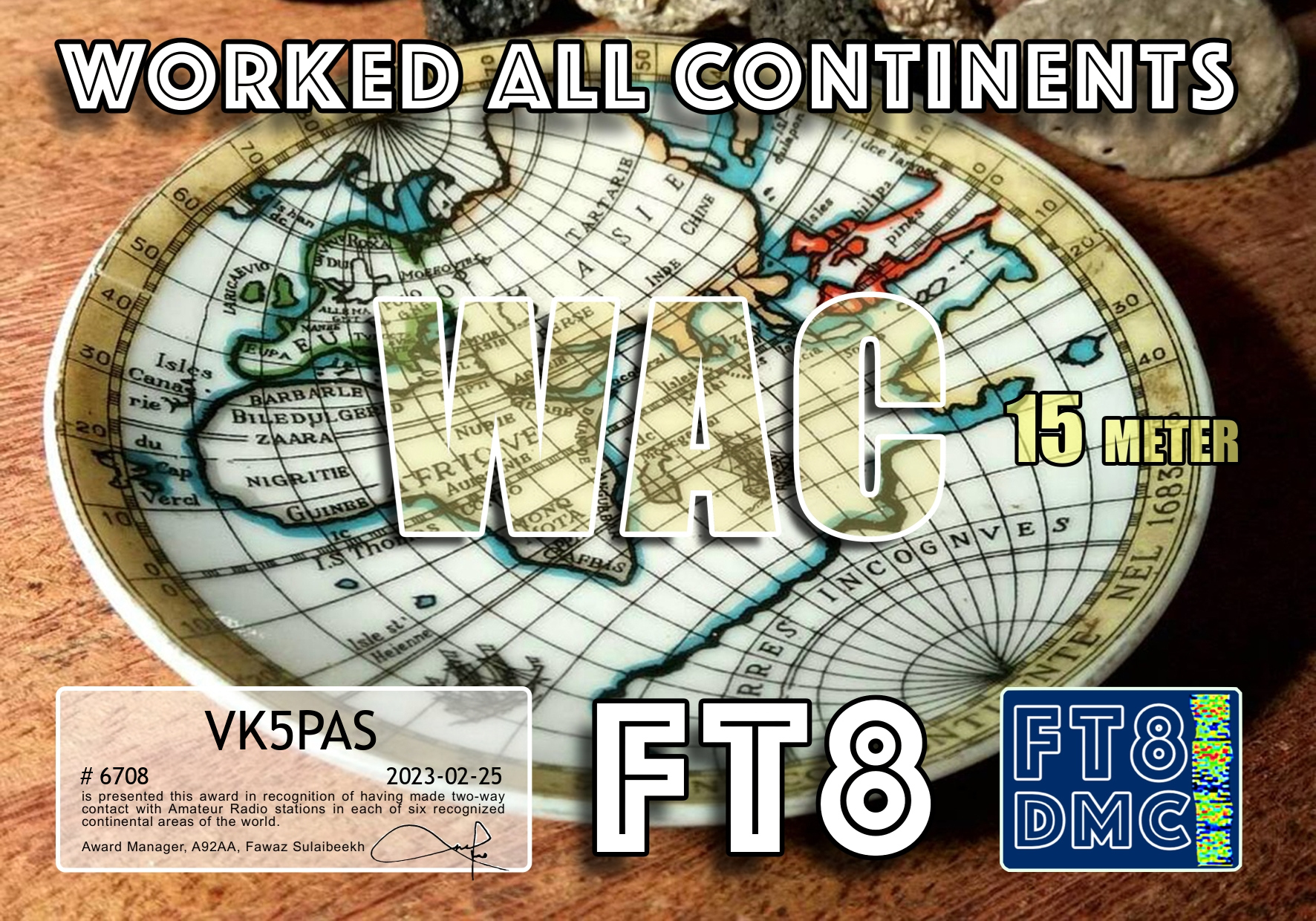
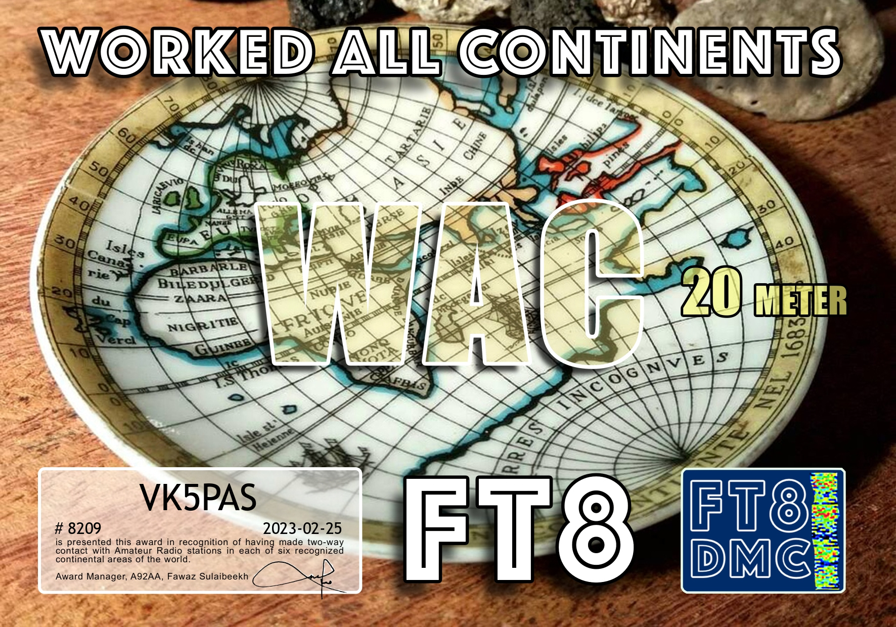
Here are some more FT8 award certificates received in the past couple of days.


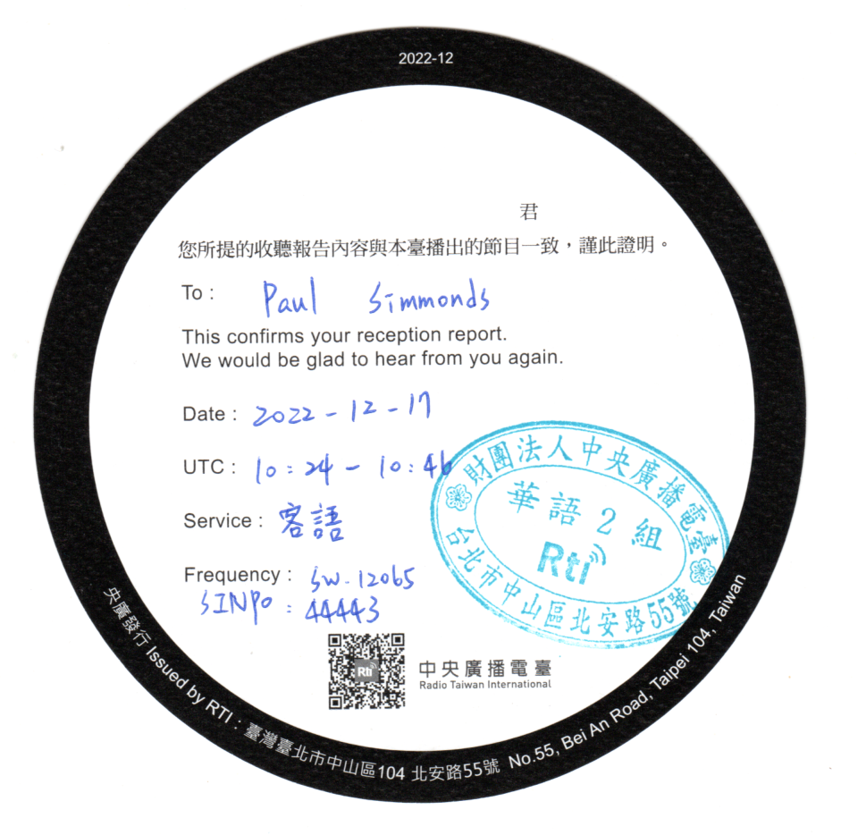
QSL card received from Radio Taiwan International for the reception of their station on 17th Dec 2022 on 12065 kHz.
I was a ‘late starter’ to the FT8 mode. I only made my first FT8 contact on the 13th day of January this year (2023).
Since then I have made a total of (as I type this blog) 2,064 QSOs into 108 different DXCC entities.
The map below shows my FT8 contacts around the world.

Below is a list of the DXCC entities I have worked on FT8
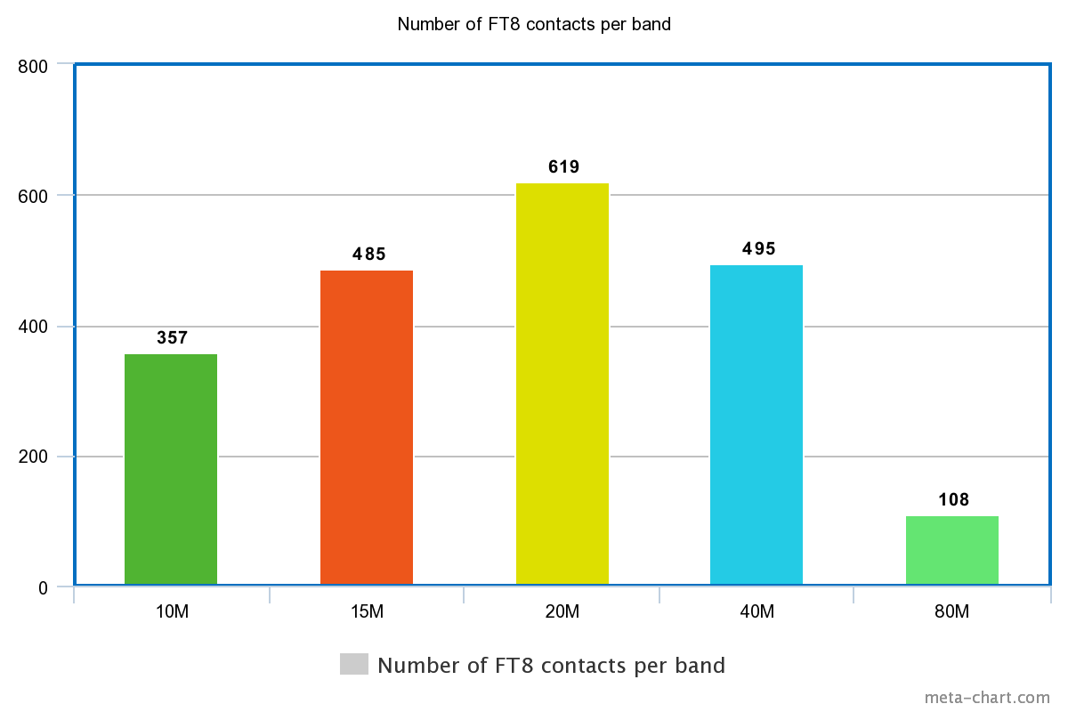
The majority of my contacts have been on the 20m band (619), followed by 40m (495) and closely following in third position is 15m (485). The graph below shows the number of FT8 contacts I have made per band.
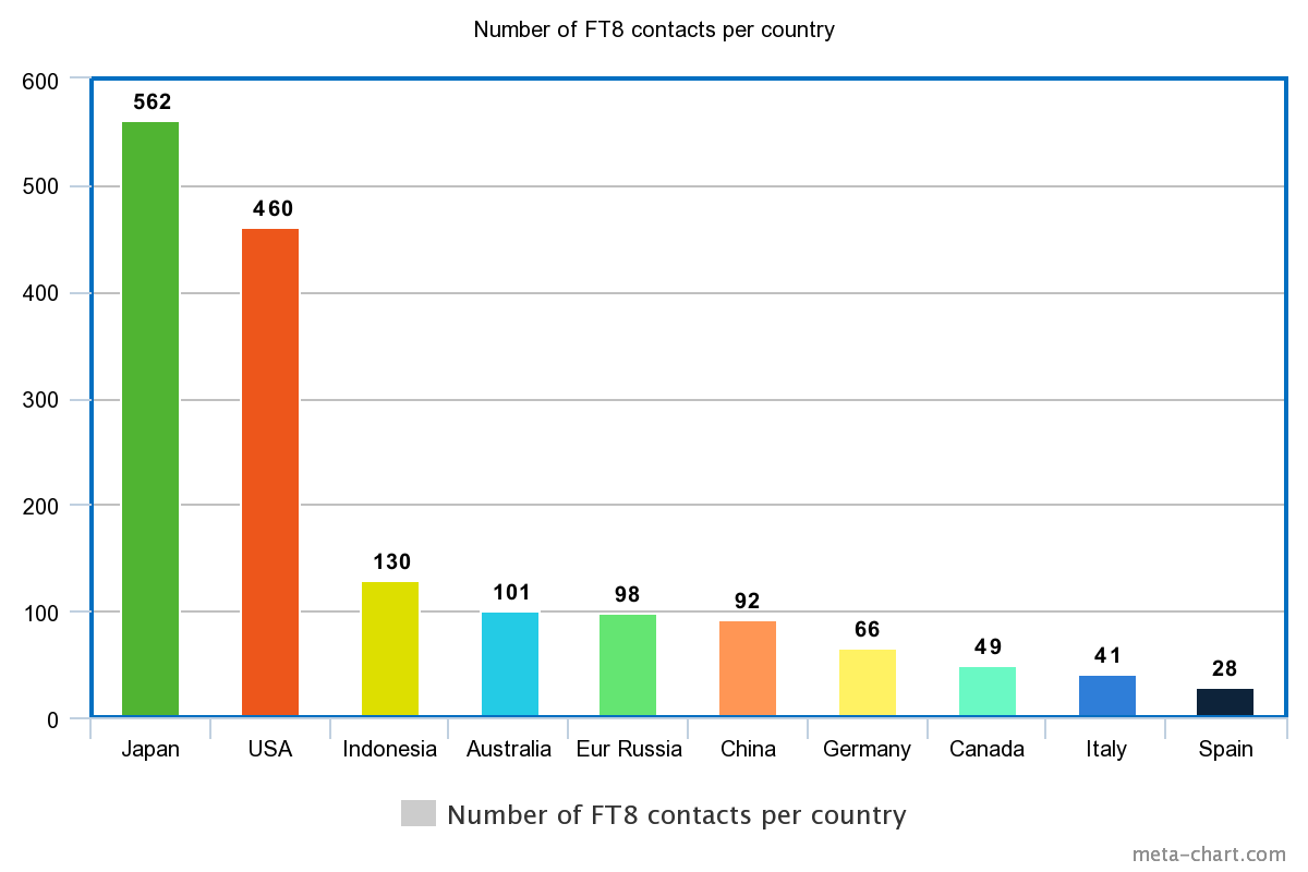
As far as countries (DXCC) worked, the majority has been with Japan (562), followed by USA (460), and then Indonesia _130). The graph below shows the Top 10 countries worked and the number of QSOs made into that country
I am having a lot of fun on FT8.
I would like to thank the following people who have either help me set up FT8, or have provided assistance re Ultimate AAC (software) re FT8 awards:
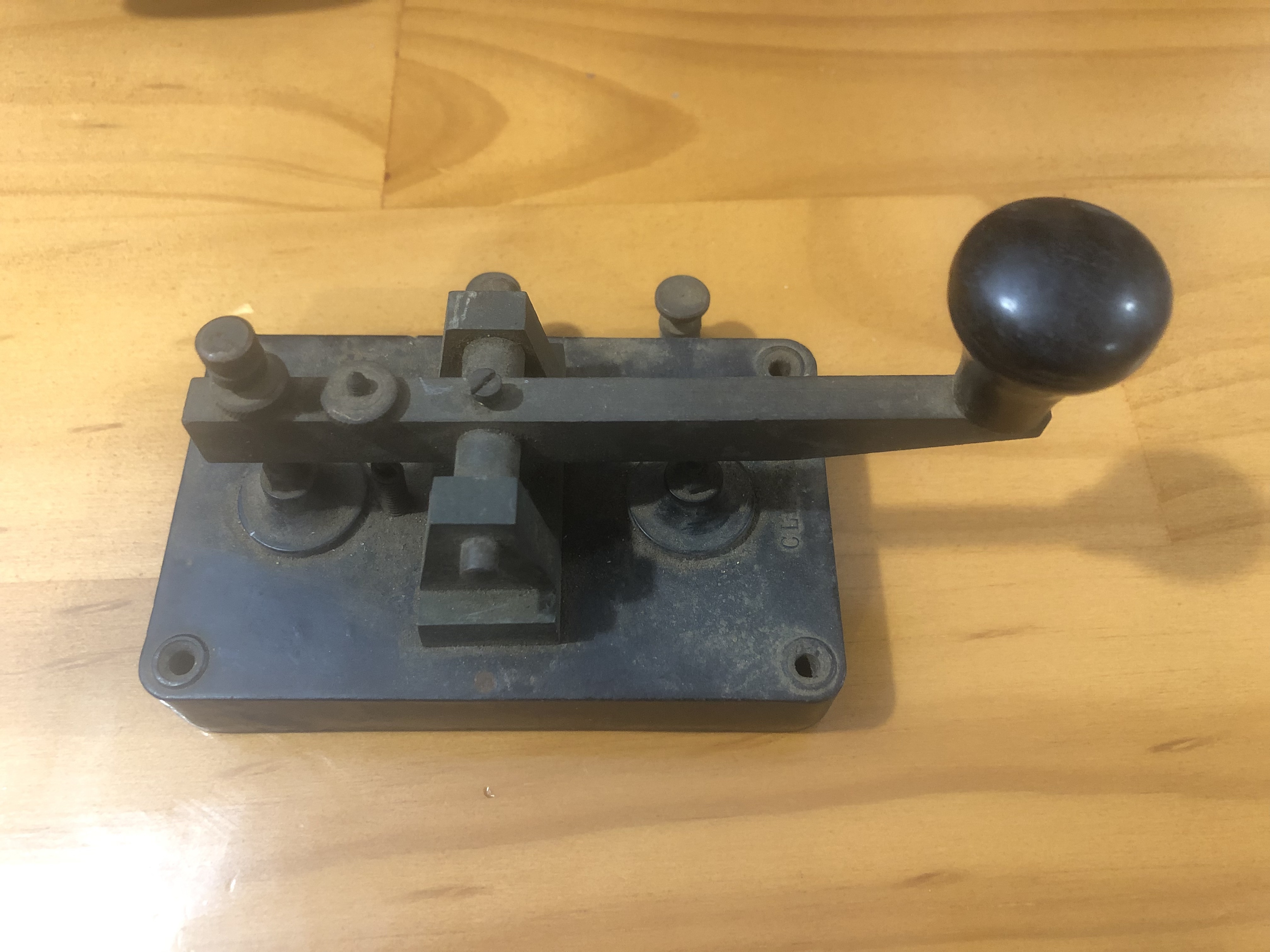
Last week I was the successful bidder for the Clipsal CW key below in a local online auction.
The key was made in c. 1944 by Gerard & Goodman Ltd of Adelaide. Clipsal Morse Keys, as they were known. were manufactured during World War II for the Defence Forces. The manufacture of the keys continued after the war and they became popular with amateur radio operators.
Below is a great video about the key.
Alfred Edward Gerard was born in 1877 in Aberdeen, Burra, South Australia. After completing his education in Burra, he commenced employment with a local coach builder. Gerard then worked for Edwin Davey and Sons, who were flour millers. He was employed there as an engineer and manager of the company’s electric lighting plant.
In 1902 Gerard married Elsie Goodman.
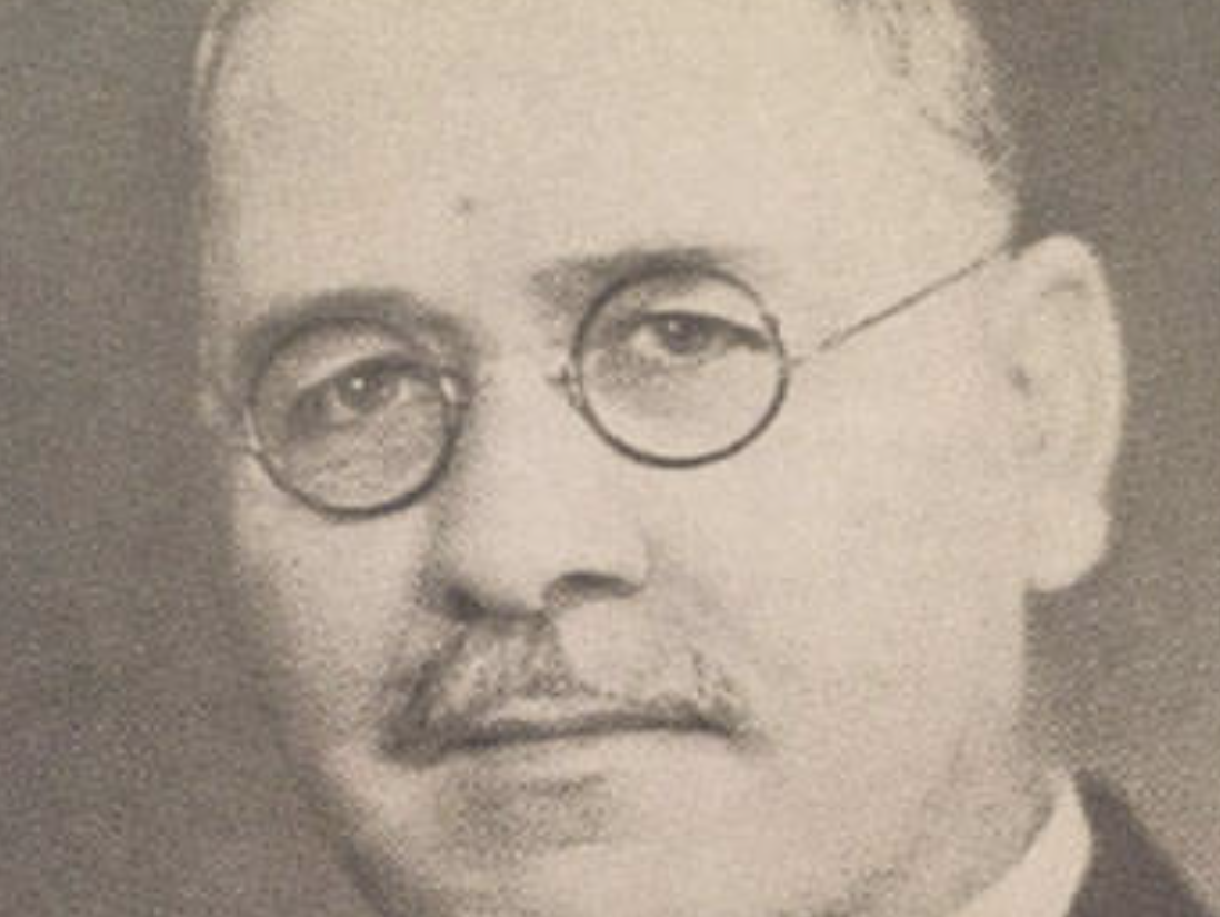
Above:- Alfred Edward Gerard. Image c/o SA Museum.
In 1907 Gerard obtained a £100 from his father-in-law William Goodman and he established a contracting business from his rented home at Prospect. His business soon employed five people and he moved the business from his home to the basement of Super Elliott’s bicycle shop at 200 Rundle Street East, Adelaide. On the 3rd day of August 1908 the company name ‘Gerard & Goodman’ was registered.
In 1909 Gerard founded the South Australian Electrical Importers & Suppliers Association, which was later known as the Electrical Wholesalers Association.
In 1910 the business moved to rented premises in Twin Street, Adelaide. Soon after the business moved to 100 Pirie Street, Adelaide, and then expanded to the shop next door at 102 Pirie Street.
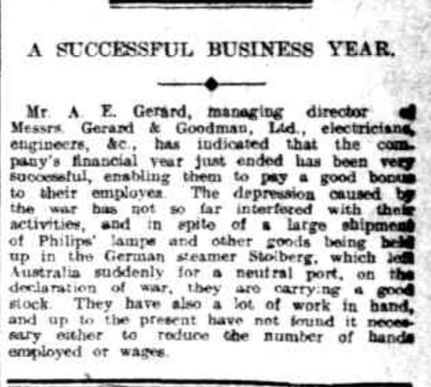
Above:- Article from the Daily Herald, Adelaide, Tues 15 Sep 1914. Image c/o Trove.
In 1920 Gerard & Goodman commenced making a clip-on metal conduit fitting which was abbreviated to ‘Clipsal’ due to the product’s ability to ‘clip to all sizes’. The name Clipsal has now become a household South Australian name.
In 1921 Gerard purchased land in Synagogue Place, Adelaide which was the company’s first freehold property. Showrooms, offices and a factory were built on the site. It commenced as a two-storey building and was extended many times. The main entrance was in Synagogue Place, while access to the bulk store was at the rear entrance in Tavistock Street.
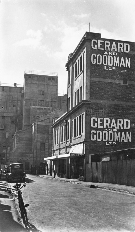
Above:- The Gerard and Goodman Ltd premises at Synagogue Place, c. 1928. Image c/o State Library SA.
I found the video below which is a walk-through of the old Synagogue Place premise.
The business continued to grow, and Gerard purchased a shop at 132 Rundle Street, Adelaide as an electrical and radio and retail business.
In 1932 the company Gerard Ltd was registered.
Above:- Article from The News, Adelaide, Sat 8 Oct 1932. Image c/o Trove.
In 1936, Gerard & Goodman moved its operations to Bowden.
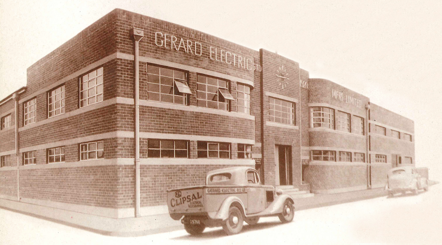
Above:- Gerard Electric premises at Bowden. Image c/o Clipsal.com
In March 1938, CH Martin Ltd, Adelaide, was contracted to build a sop and offices for Gerard and Goodman at 192-196 Rundle Street, Adelaide. The building had an internal connection to the warehouse in Synagogue Place, which it abuts.
Television was first displayed in South Australia in the Gerard & Goodman shopfront window in Rundle Street between the 30th day of May 1949 to the 2nd day of June 1949. It is reported that this drew large crowds. It would not be until a further ten years that permanent TV broadcasting was brought to Adelaide.
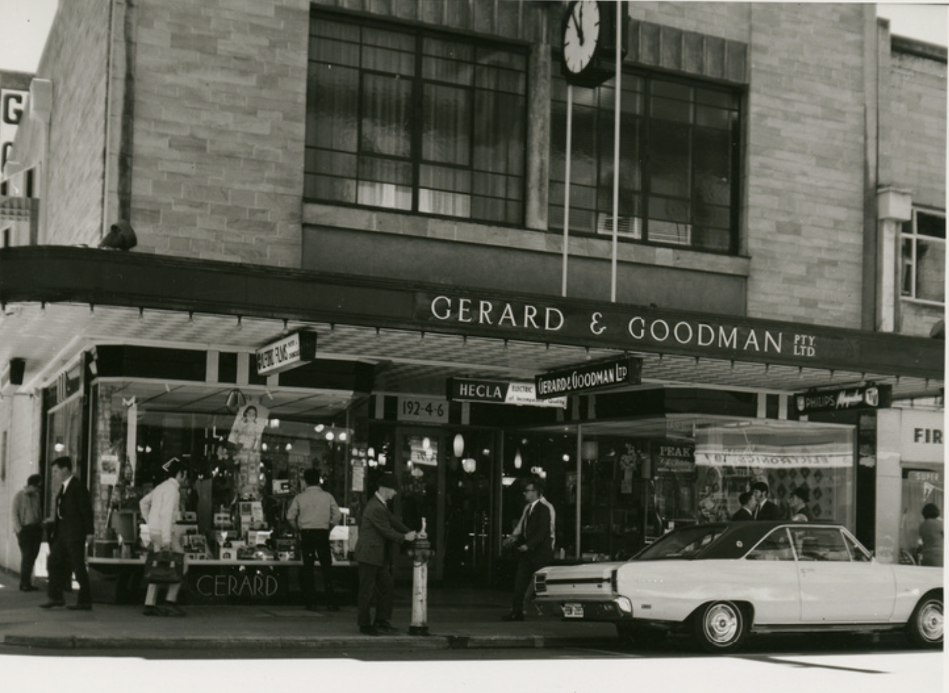
Above:- the Gerard & Goodman store in Rundle Street, 1969. Image c/o State Library SA.
Other than his running of the electrical business, Gerard was also devoted to the welfare of aboriginal children. In 1929, he established the United Aborigines Mission (UAM). He was also a lay preacher and a member of the Prospect Masonic Lodge. He authored a book entitled Ears of Corn.
In 1945 Gerard financed the purchase of a 5,800-acre property at Winkie in the Riverland region of South Australia. It is now known as the Gerard Aboriginal Community in his honour.
Gerard died on the 13th day of October 1950, aged 73 years, at his home at Prospect. He is buried at the Payneham cemetery.
Gerard & Goodman continued to trade in Rundle Street until the 1970s.
In 2003 the Gerard family sold its interest in the Clipsal business to Schneider Electric.
In March 2017, the Gerard & Goodman building in Synagogue Place was demolished and replaced with new student accommodation.
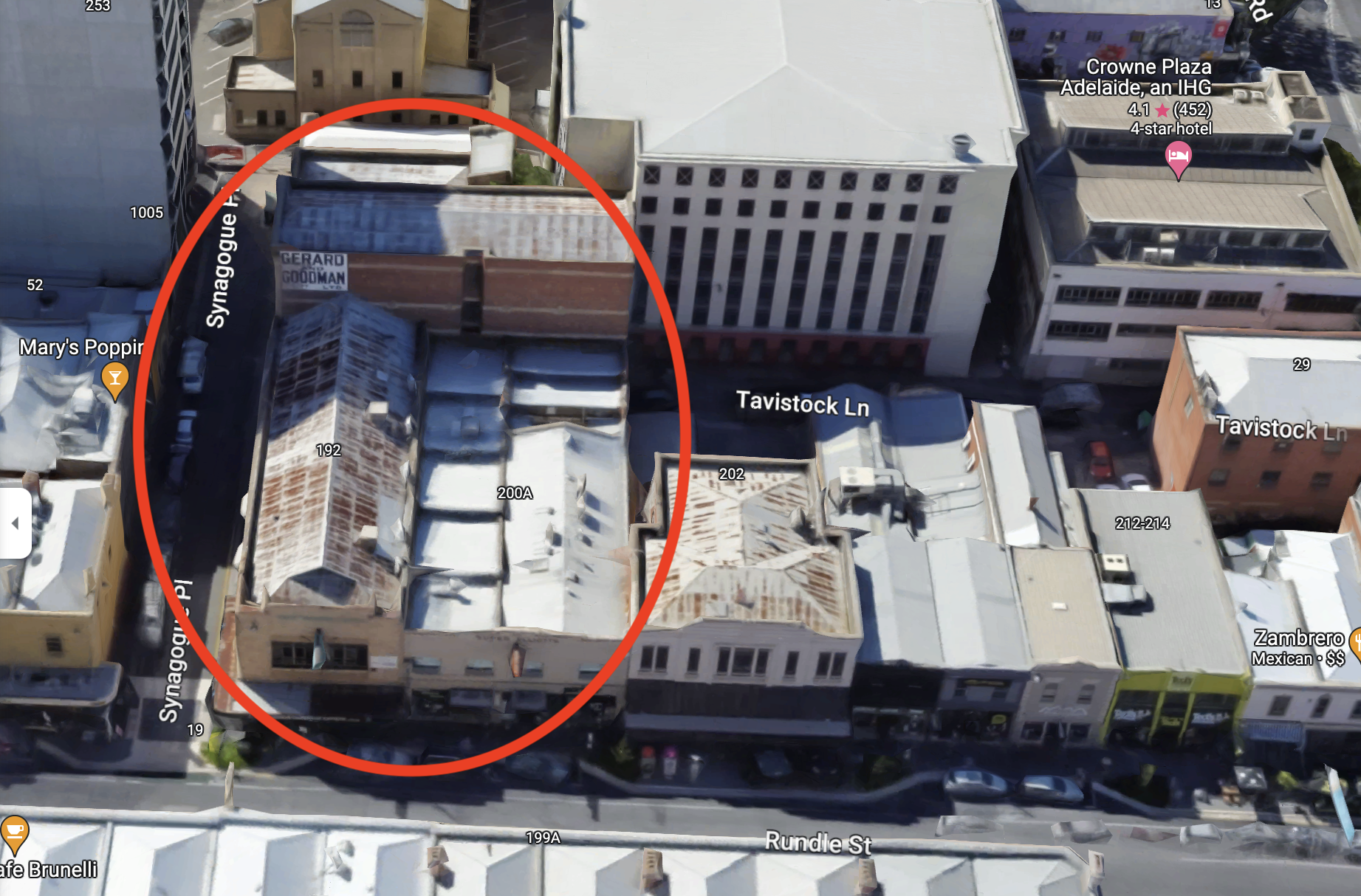
Above:- An aerial view showing the old Gerard & Goodman building in Rundle St & the warehouse in Synagogue Place. Image c/o Google maps.
References.
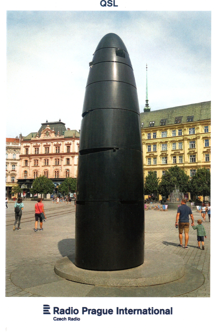
QSL card received in the mail from Radio Prague International for the reception of their station on 10th October 2022, on 5010 kHz.
I’ve received a few more FT8 award certificates.


Amateur Radio, Short Wave Listening, travel and history
Amateur radio experiences with VK1DA
Brisbane - Australia
german amateur radio station
Summits On The Air
SOTA on the peaks, wilderness QRP and some bushwalking
A fine WordPress.com site
Amateur Radio Adventures
Summits on the Ai
Amateur radio station from Belgium
Radio craft, homebrew, QRP/SOTA, AM
Ego loqui ad viros super montes
My adventures with Amateur Radio and Geocaching!
The rantings of VK2GAZ on his SOTA experiences in Australia
A survivor, with minor cuts and abrasions.
The Art and Craft of Blogging
The latest news on WordPress.com and the WordPress community.
Blog of Justin Giles-Clark VK7TW's SOTA and amateur radio adventures.
Occasional SOTA & Microwave operation
