Loxton silo VK-LXN5

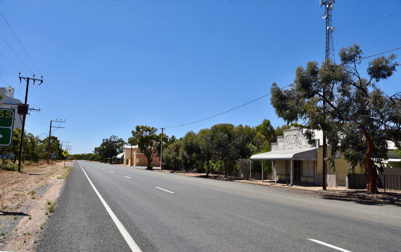
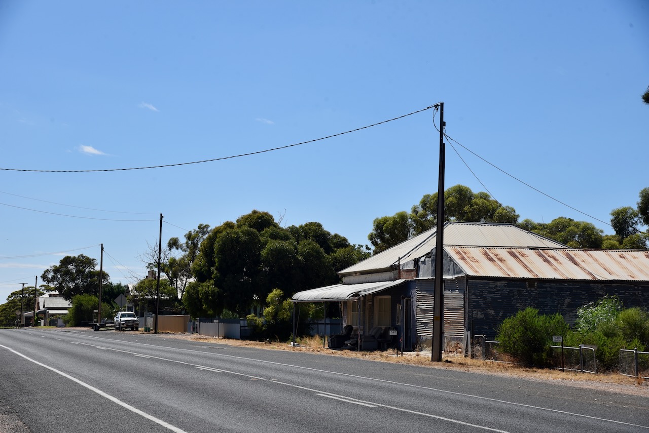
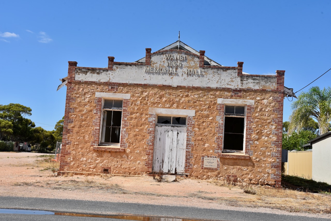
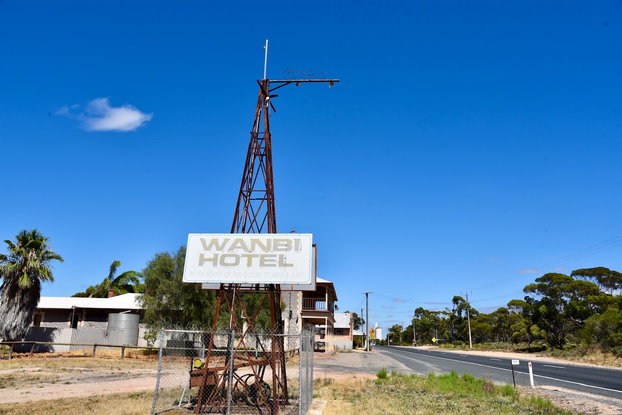
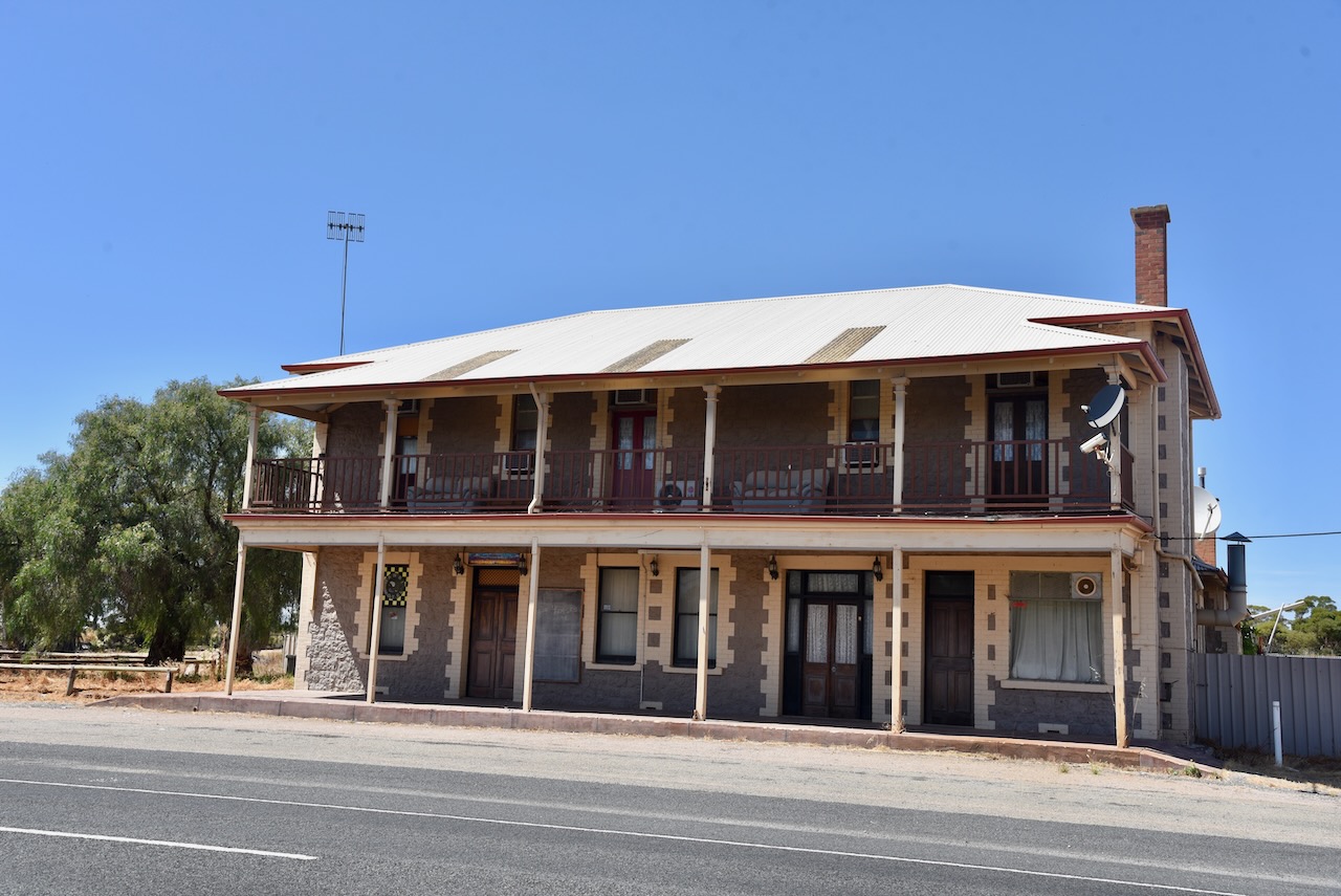
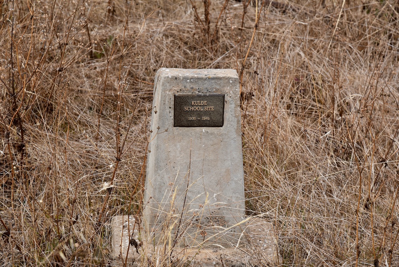
After leaving Alawoona I travelled north on the Karoonda Highway towards Loxton, about 36 km. I travelled through Beitch, a small town proclaimed on the 8th day of June 1916. It takes its name from a well sunk by Mr Vietch in 1882. A school was opened at Veitch in 1919 and closed in 1946.

Next was the little town of Pata which is aboriginal for ‘swamp gum trees’. The town was proclaimed as Muljara on the 18th day of November 1915 and was renamed Pata in 1929. The Pata school opened in 1919 and closed in 1955.

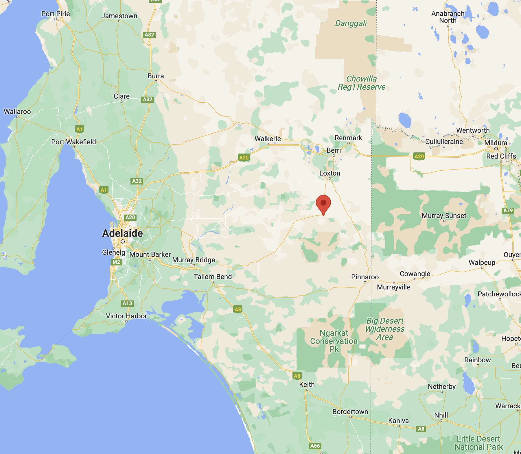
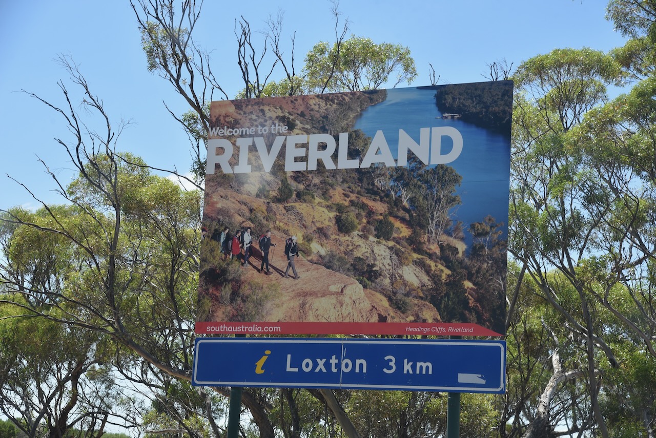
I soon reached Kingston Road and it was evident that I was in the Riverland, as vineyards and fruit orchards were visible.

At the junction of Kingston Road and Karoonda Highway is the National Television Service and the Loxton transmitter station, with a very impressive tower. I would love to have my 5 element yagi on the top of that at home.

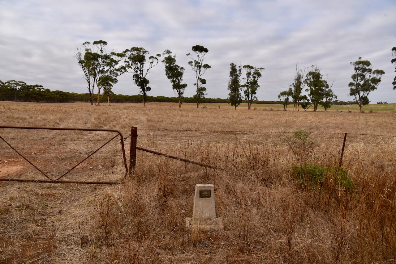
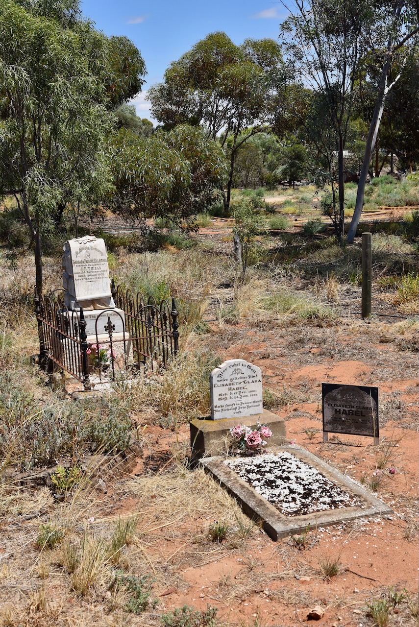
A short distance away, near the corner of Karoonda Highway and Pioneer Landing Drive, are two graves. They mark the resting spot of Elisabeth Clara Habel who died in 1898, aged just 3 years, and Barbara Thiele who died in 1900 aged 2 years. They were the children of local Loxton pioneer families.

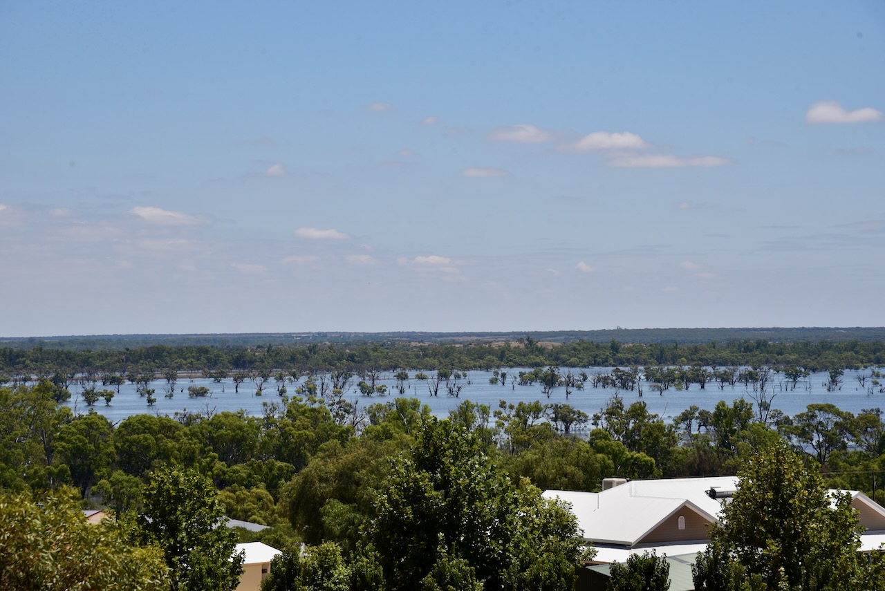
I headed down towards the Murray River on Pioneer Landing Drive. There were some nice views of the Murray from the top of the road.

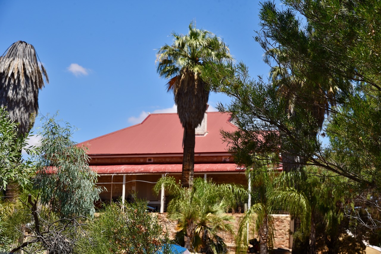
At the end of Pioneer Landing Drive is Habel’s Landing which contains a marina with numerous houseboats. The landing is named after pioneer farmer Wilhelm Emil Habel (b. 1856. d. 1926). Habel’s homestead sits high overlooking the Murray.

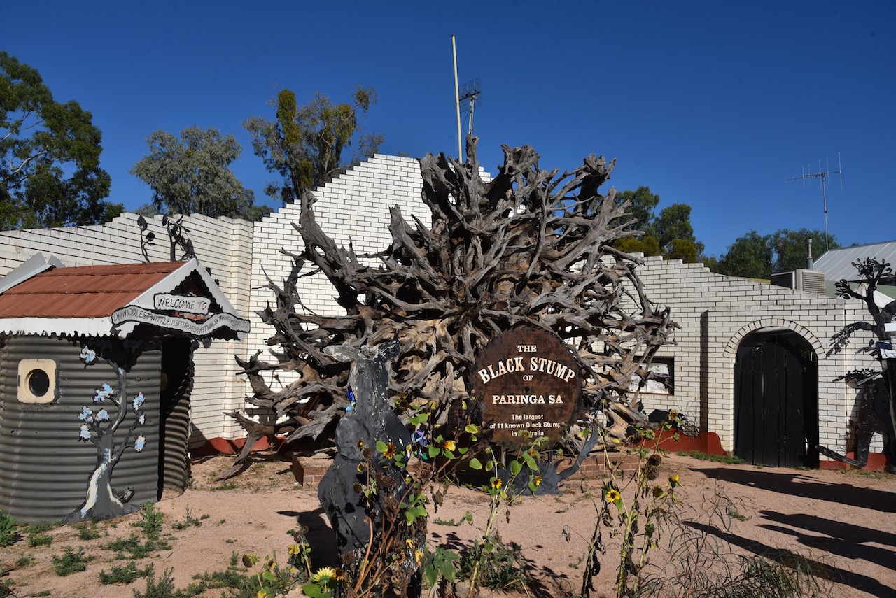
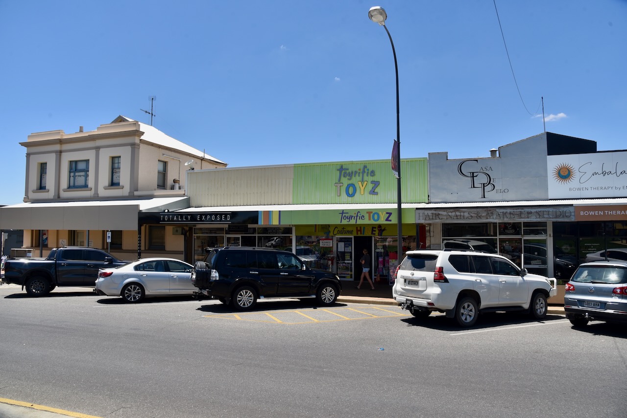
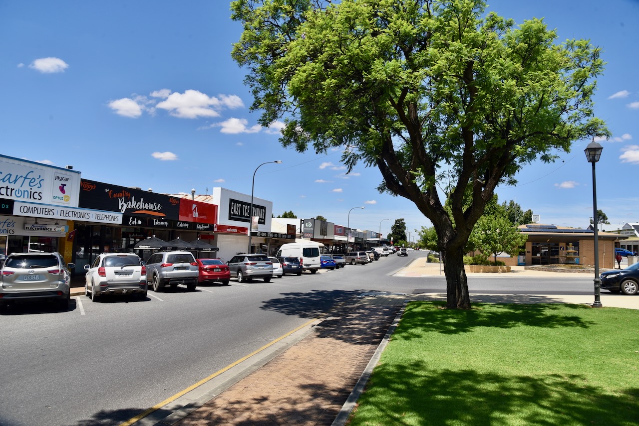
I then drove into the town of Loxton. The Erawirung aboriginal people occupied the area prior to the Europeans. The first European settler in the area was John Chambers who held a pastoral lease taken out in July 1851.

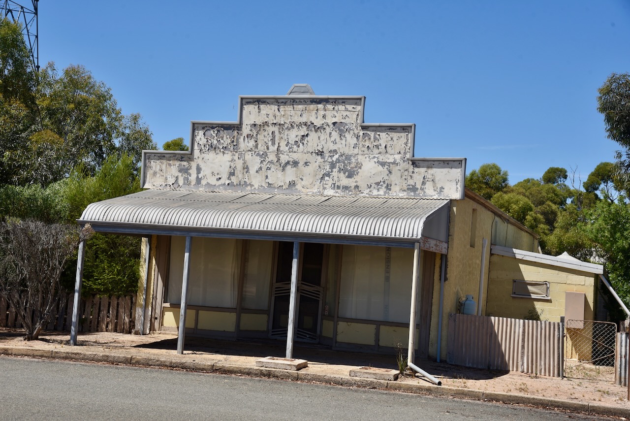
Loxton was originally known as Loxton’s due to a primitive pine and pug hut built on the banks of the Murray by a boundary rider during the 1880s.

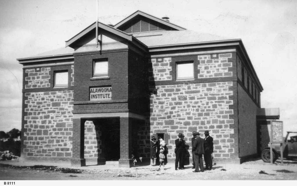
The Loxton Hut school opened in 1902 and closed in 1909. In July 1907 the town of Loxton was surveyed into 40 allotments and was proclaimed on the 29th day of August 1907. At the time of the first sale in November 1907, prices ranged from £6-5-0 to £40-5-0 per block. In 1912 the town was extended by a further 45 allotments. The Loxton school opened in 1914.

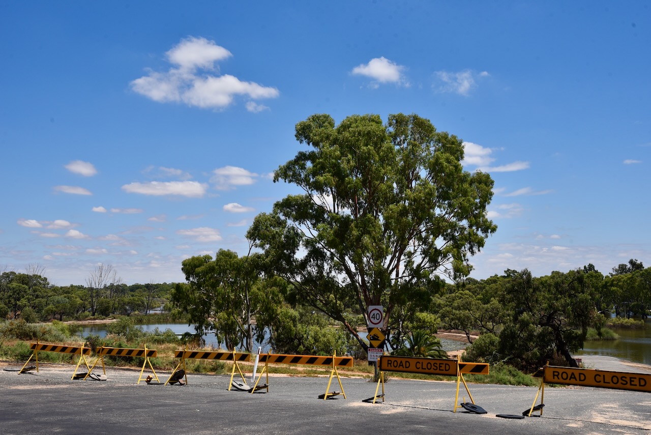
Although the water had receded after the Murray River flooding, numerous roads in the area were still closed and various popular areas were still under water.

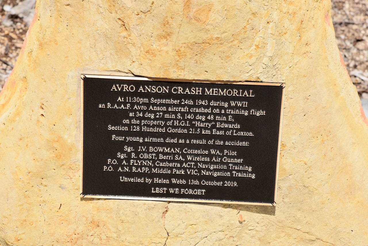
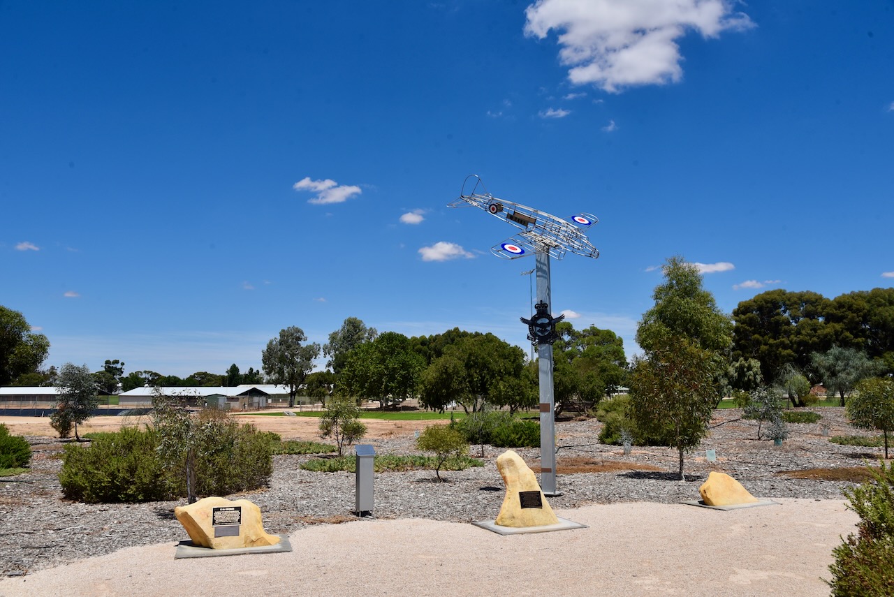
At Loxton, you can find the Avro Anson Crash memorial. At 11.30 p.m. on the 24th day of September 1943, during the Second World War, a RAAF Avro Anson aircraft crashed on a training flight east of Loxton. Four young airmen died as a result of the accident.

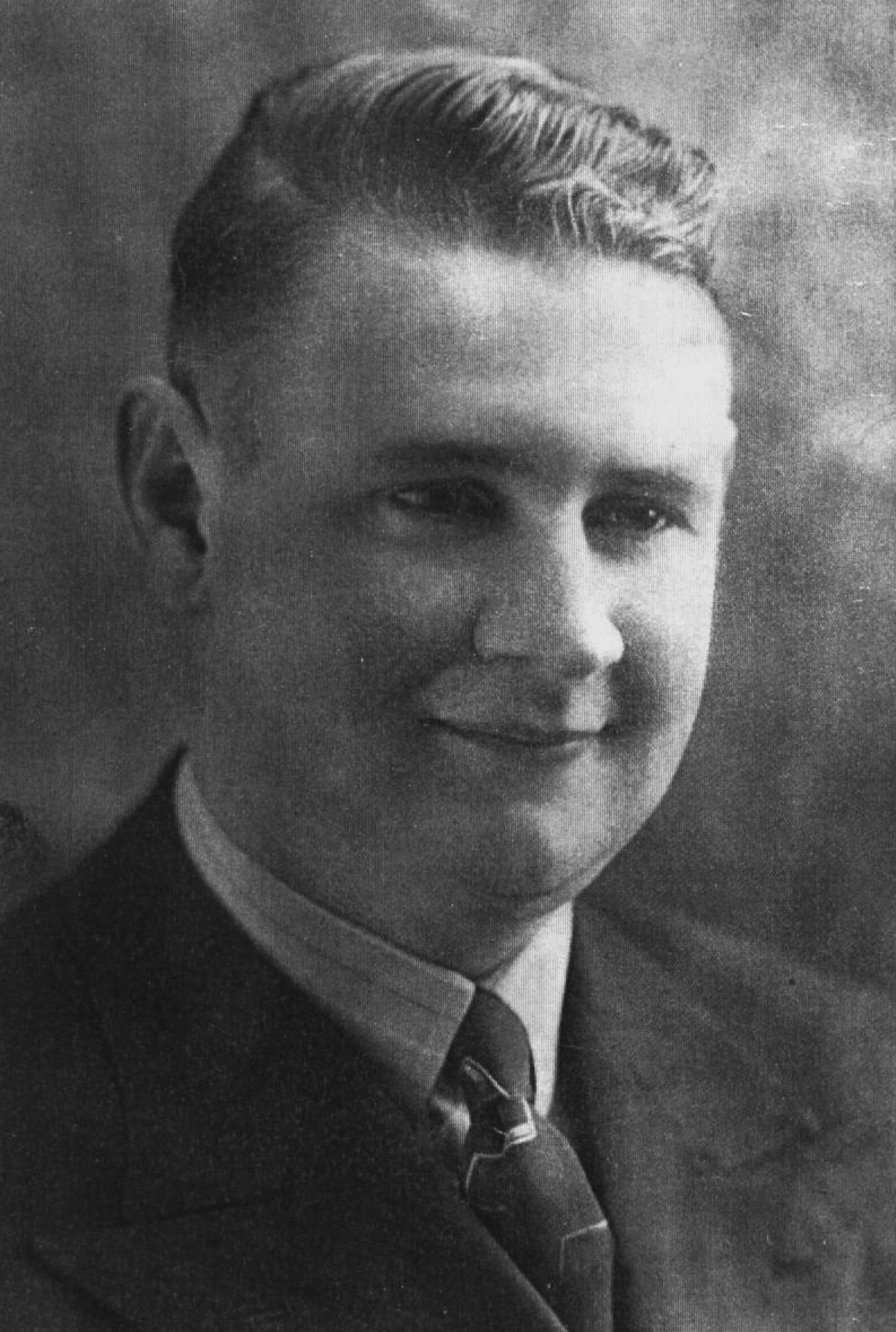
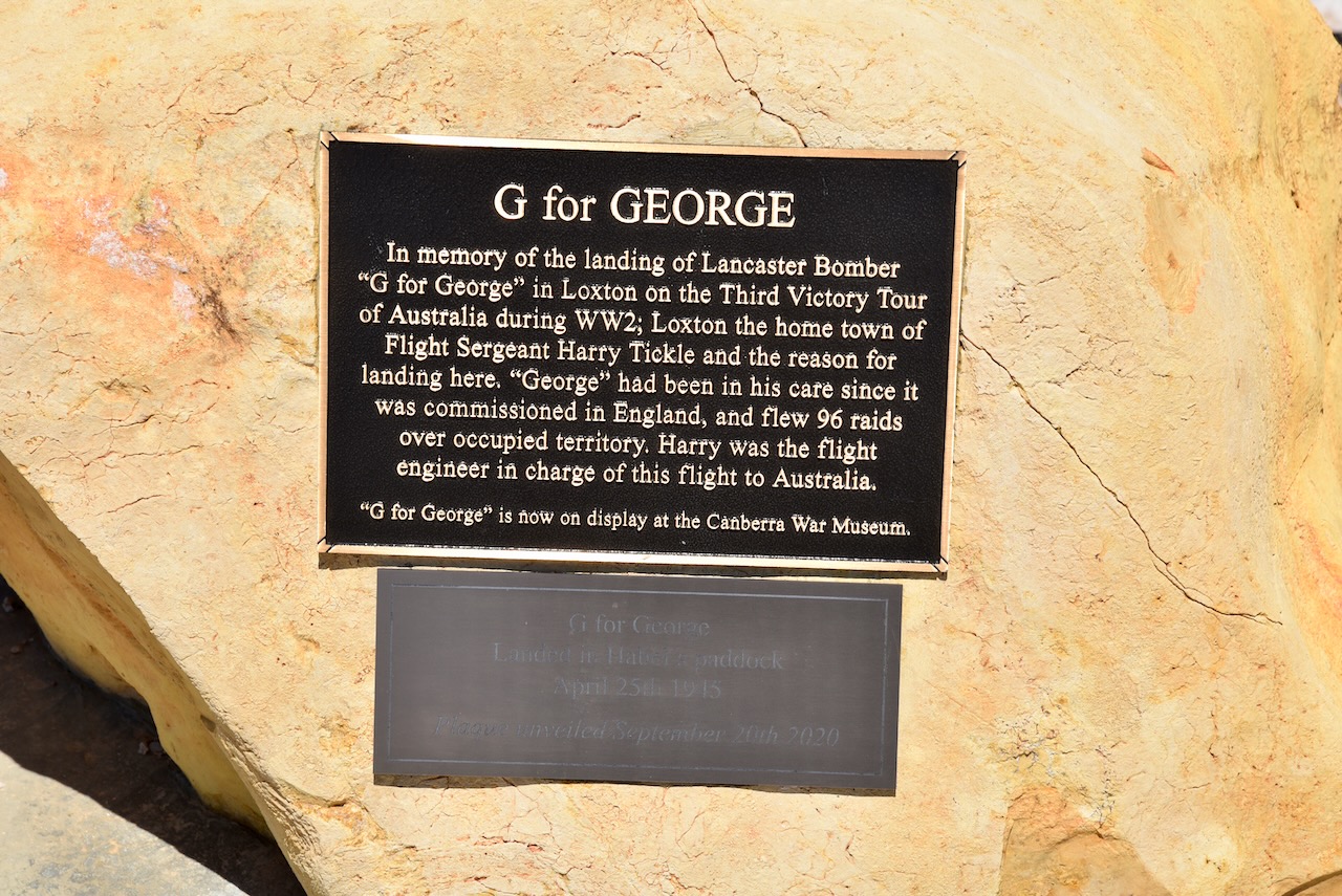
There is also a plaque to commemorate the landing of Lancaster Bomber “G for George’ in Loxton on the Third Victory Tour of Australia during WWII. Flight Sergeant Harry Tickle from Loxton was the flight engineer in charge f the flight to Australia. “G for George’ is now on display at the Canberra War Memorial/Museum.

Above:- Harry Tickle alongside G for George. Image c/o Australian War Memorial

The memorial can be found on Bookpurnong Terrace near the entrance to the Loxton Oval.

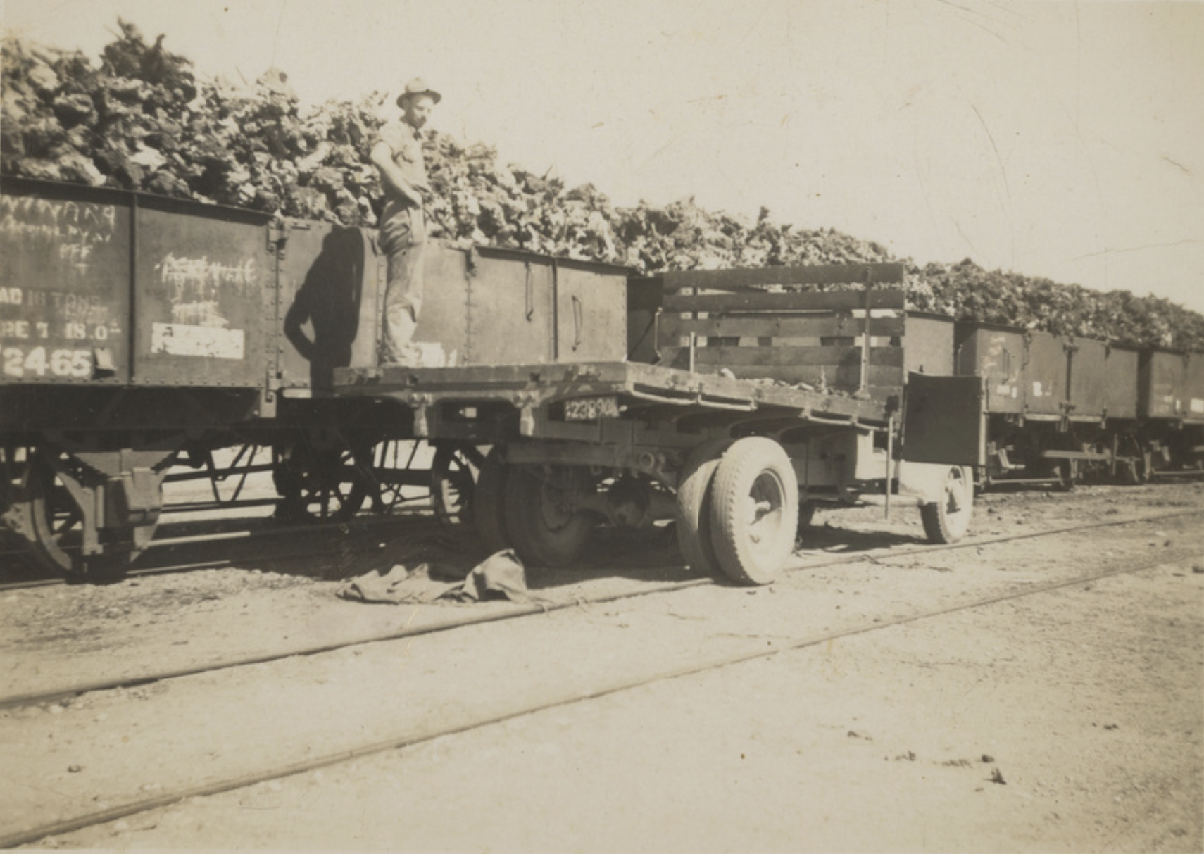
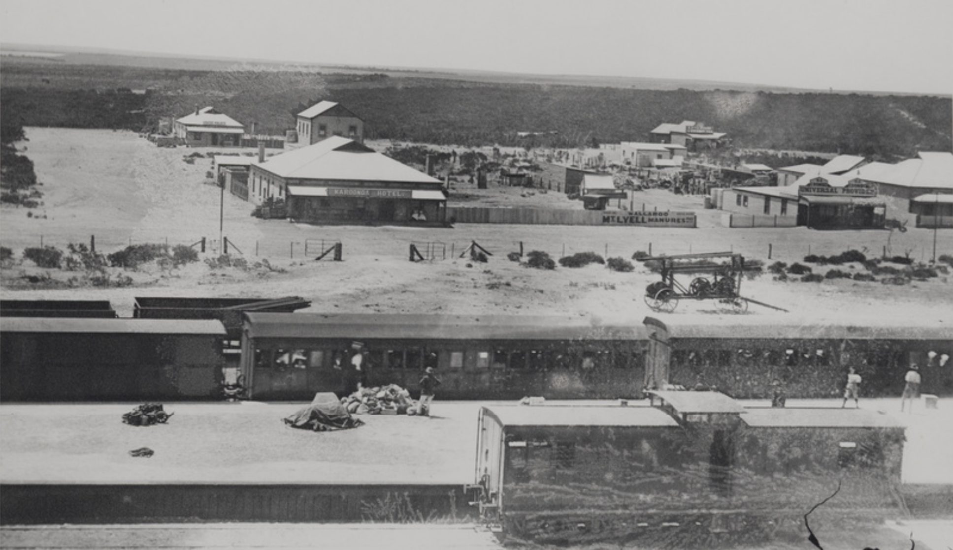
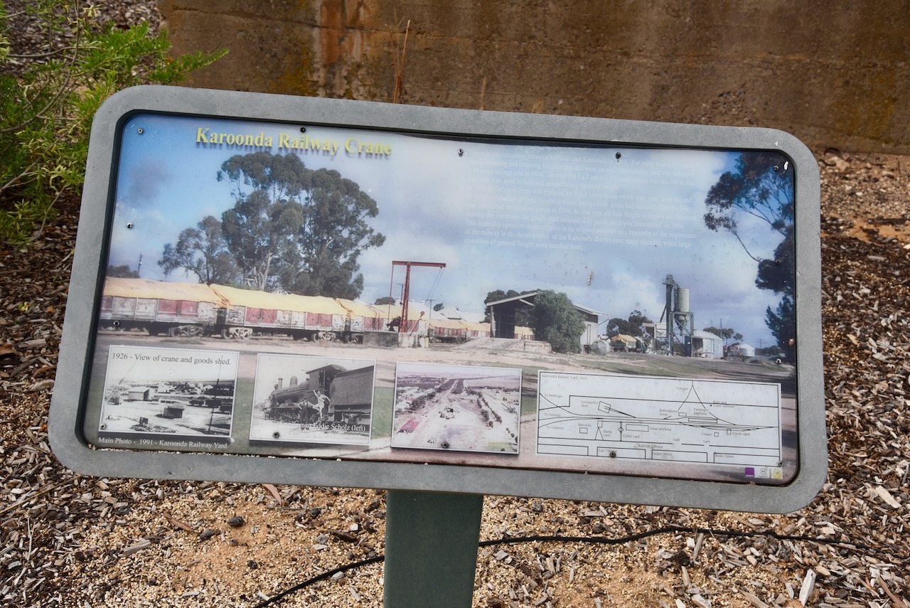
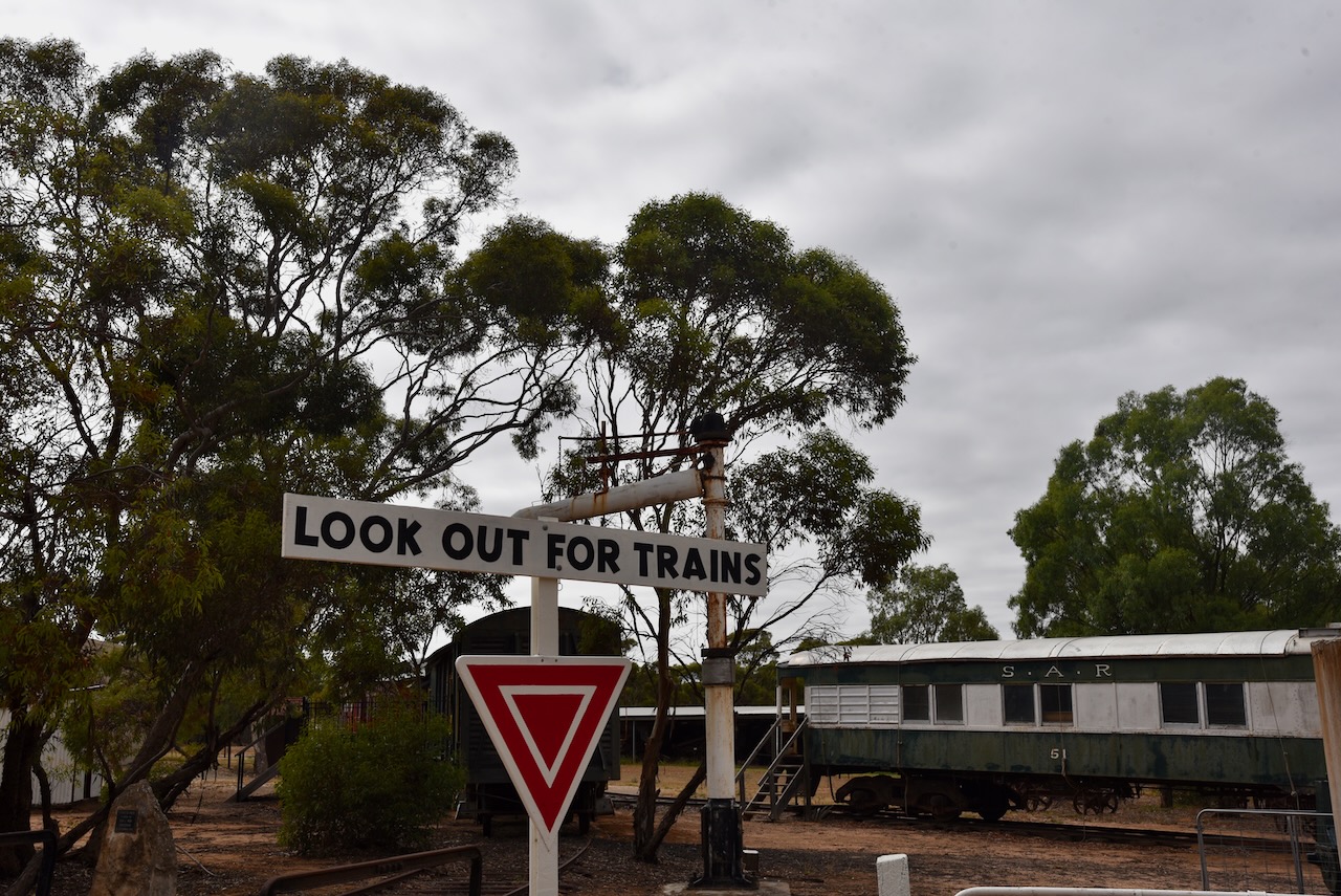
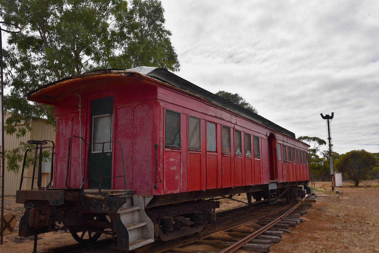
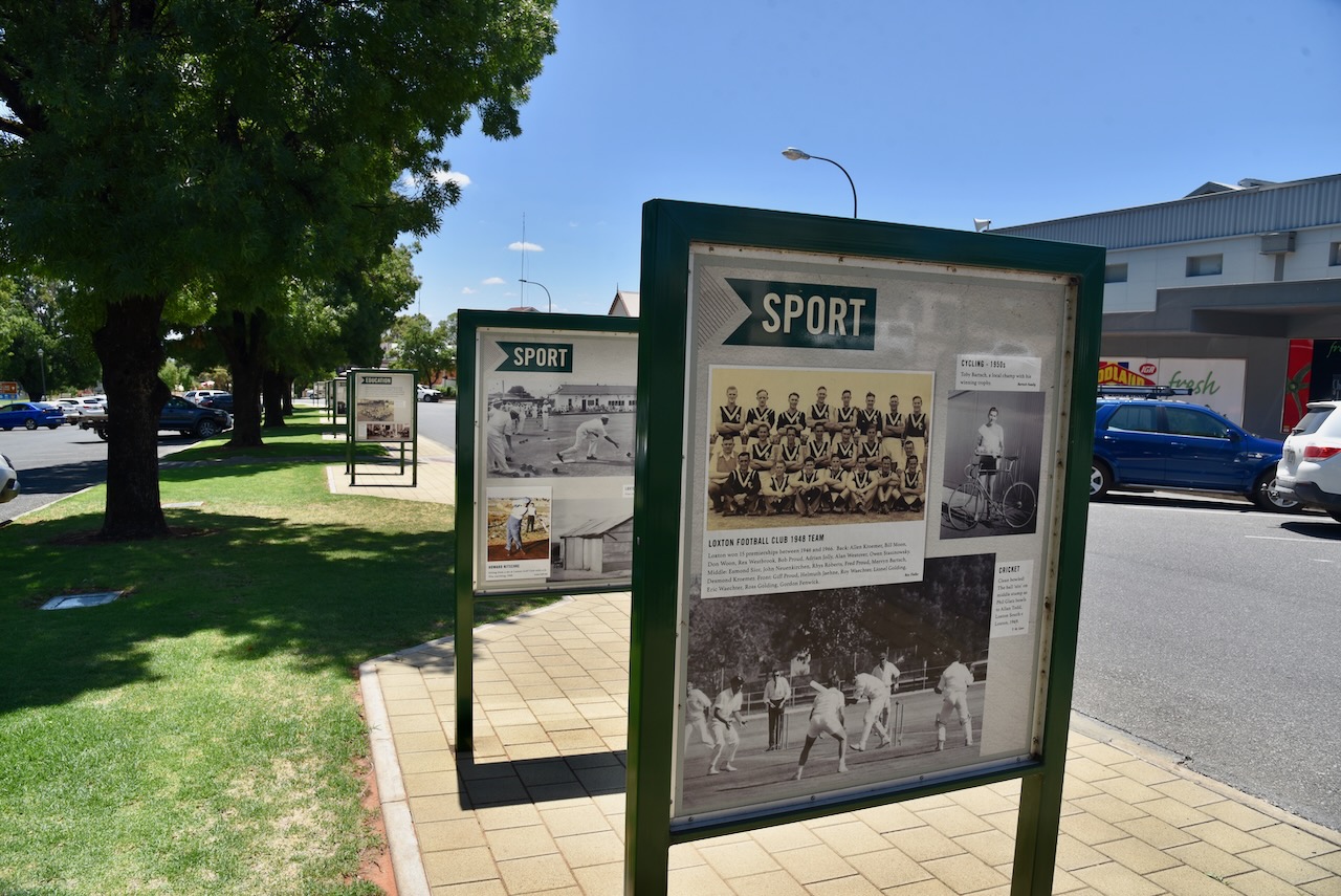
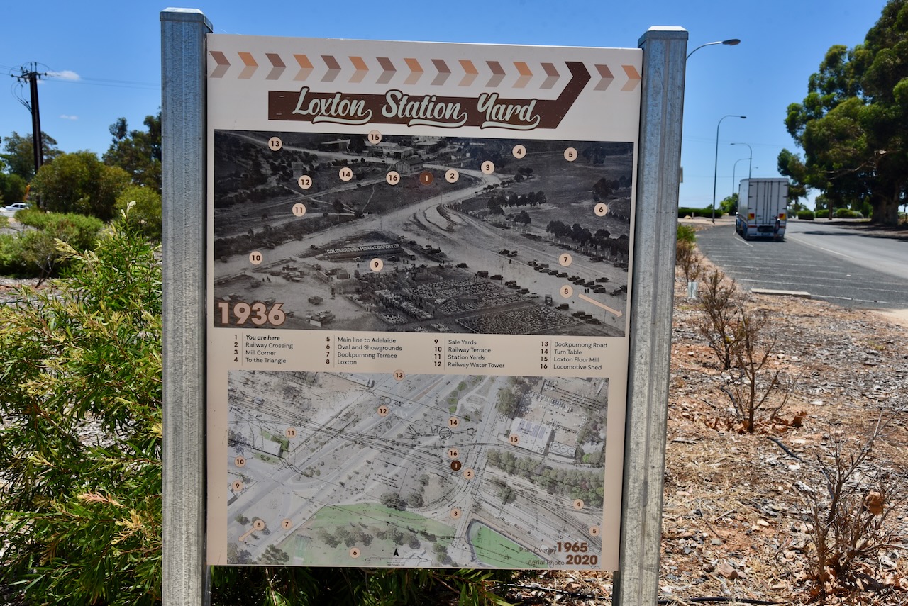
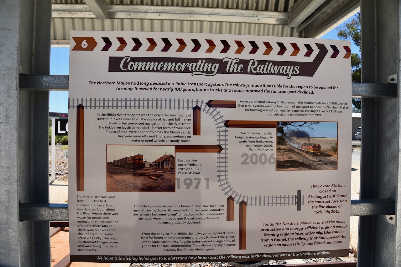
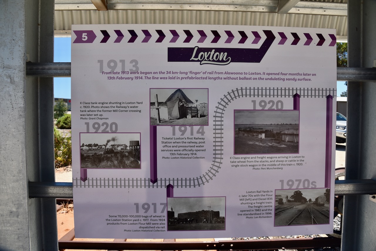
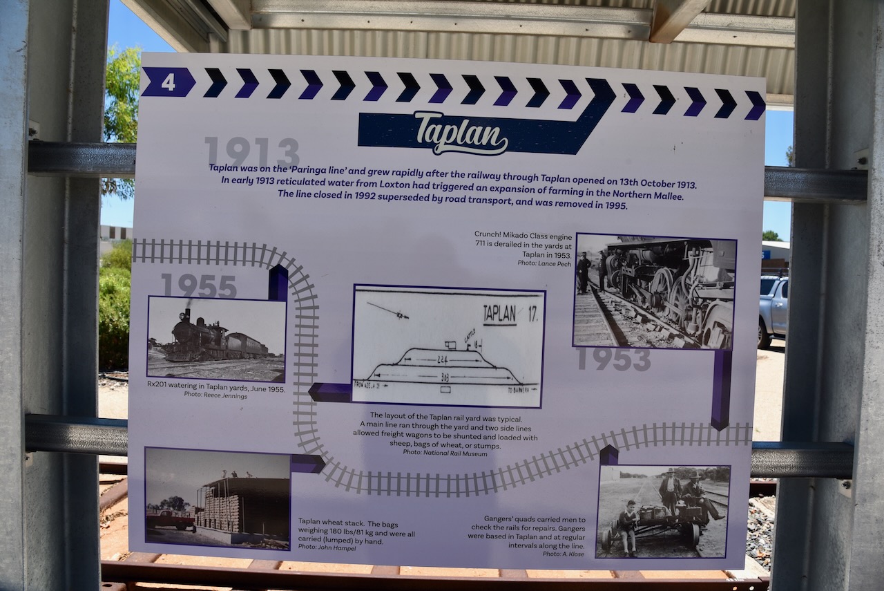
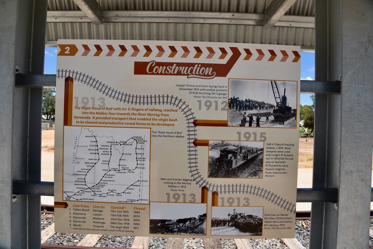
Nearby is the memorial to mark the significant role that the railway played in the Loxton area and the Northern Mallee district. There are a number of information boards here containing great detail about the railway.

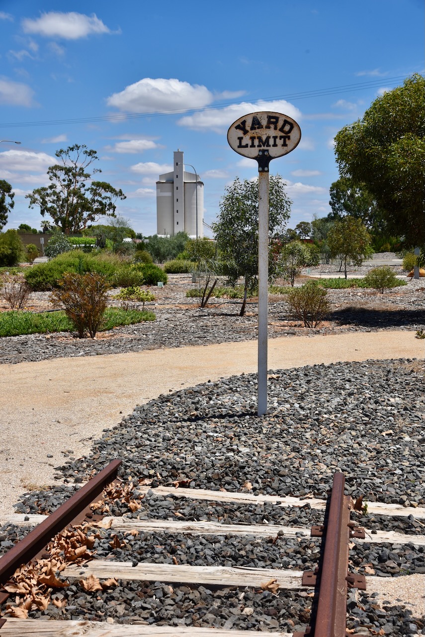
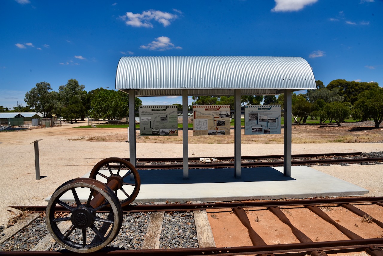
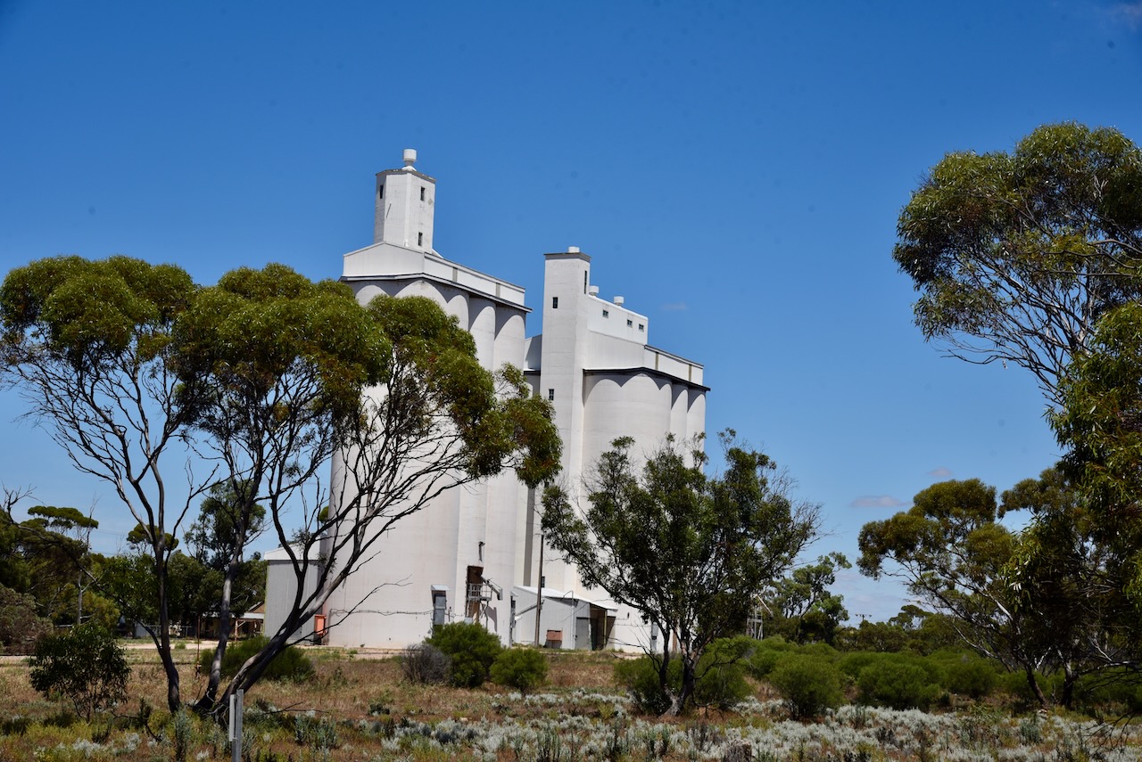
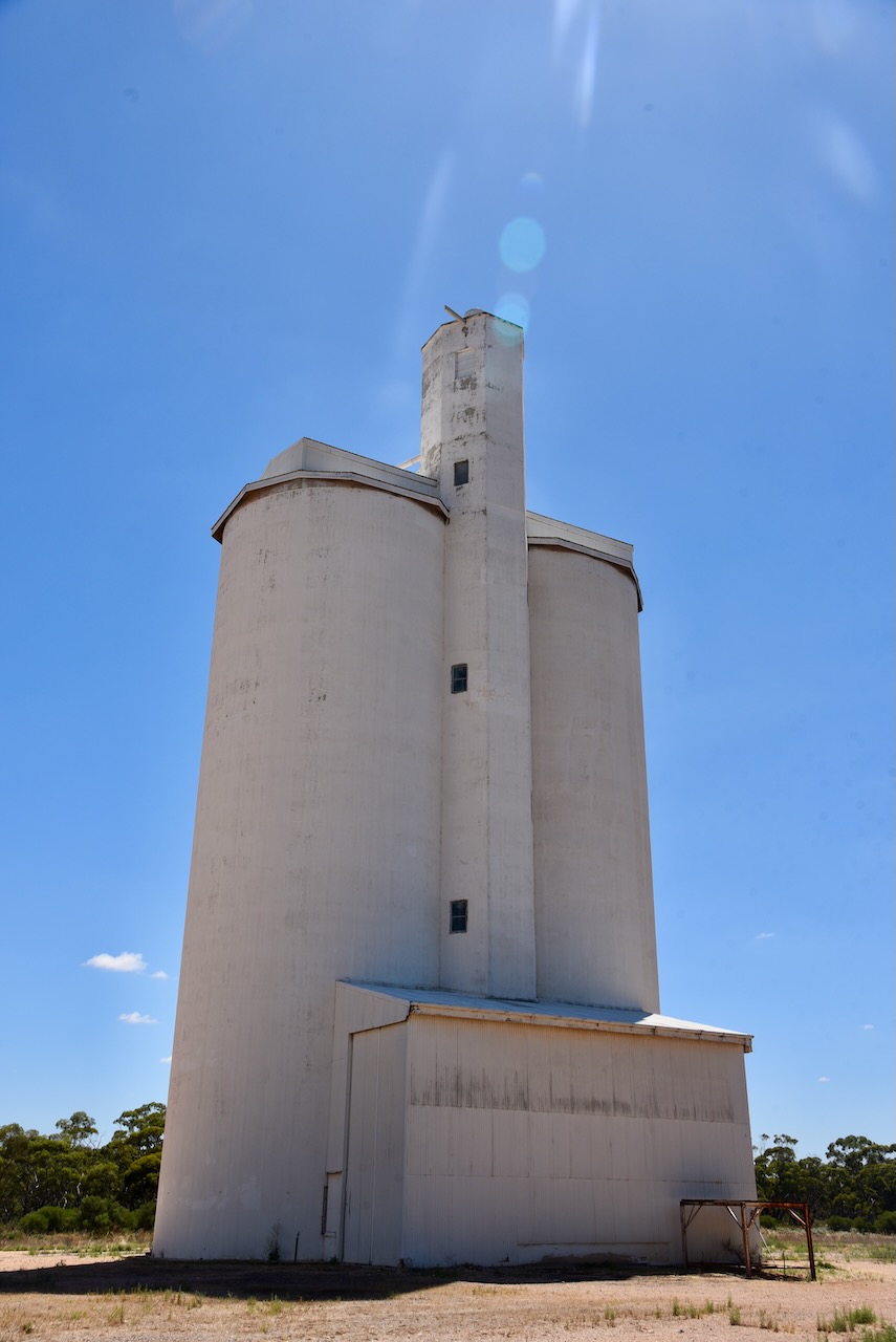
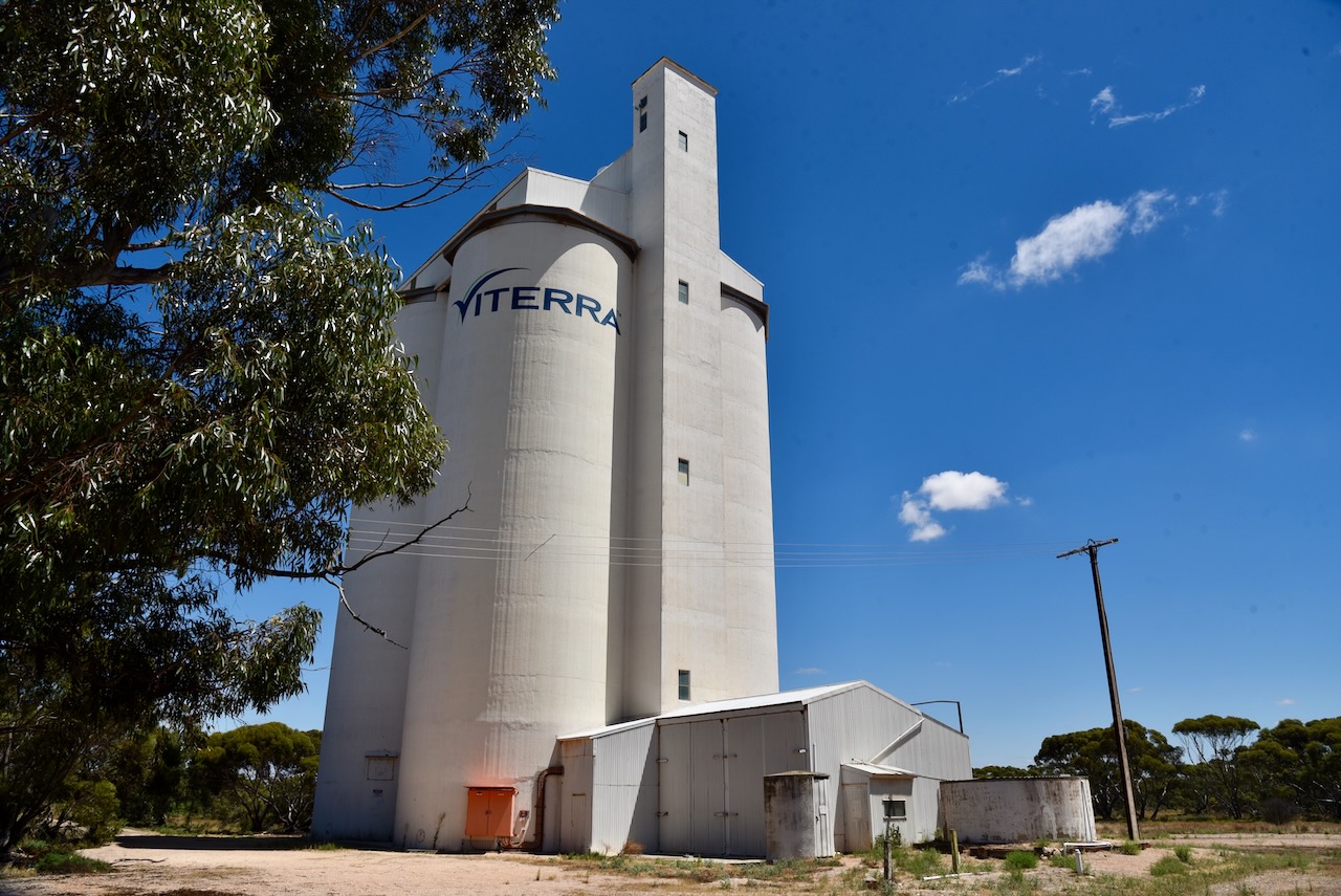
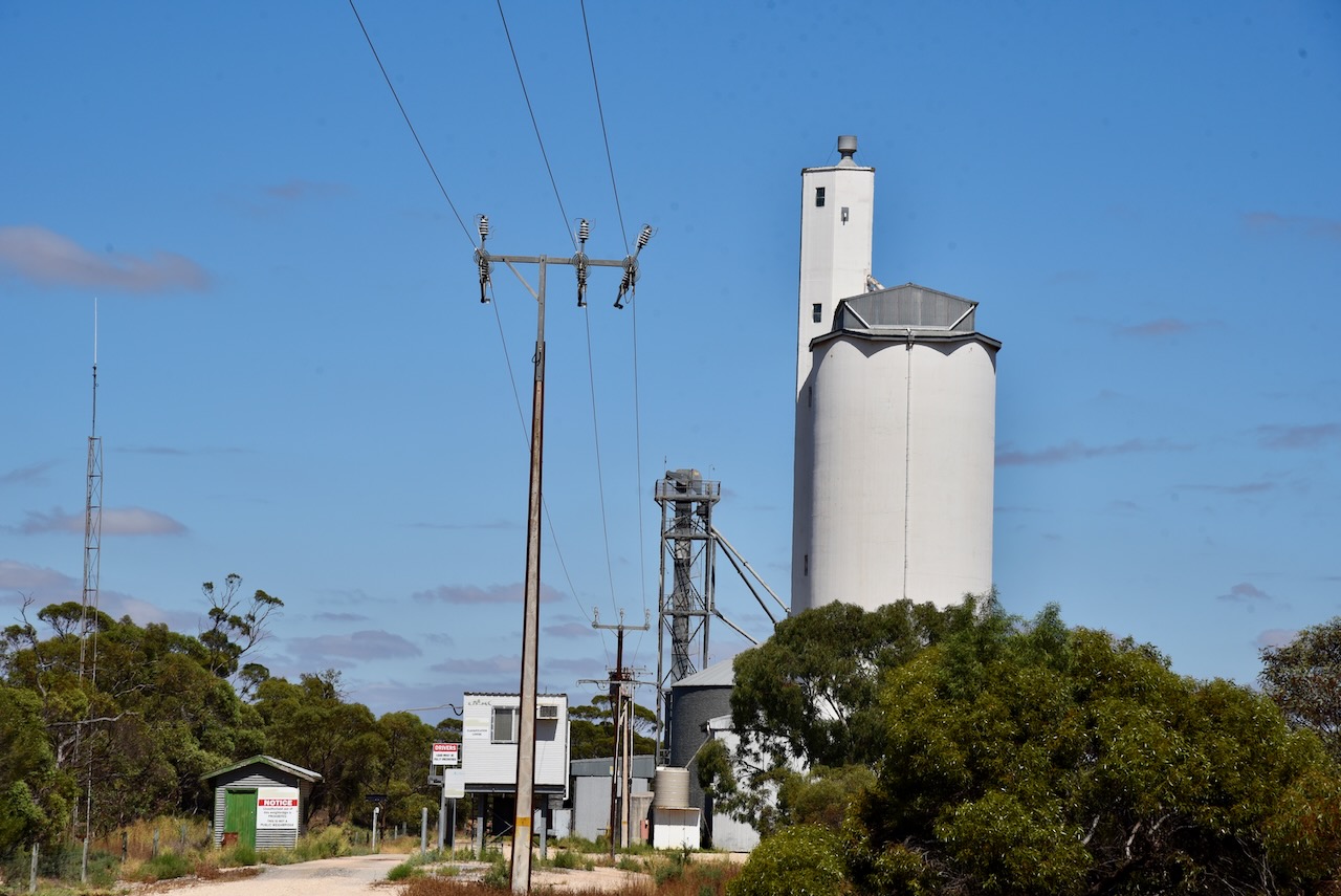
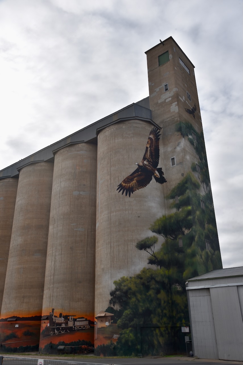
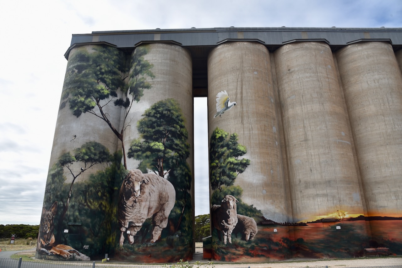
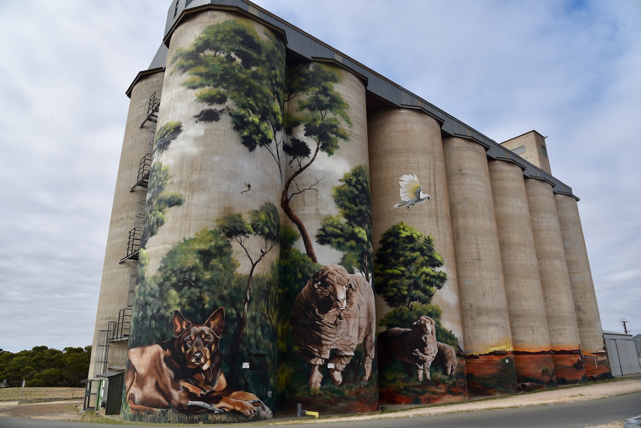
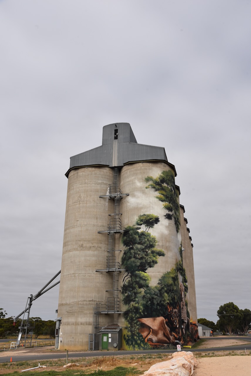
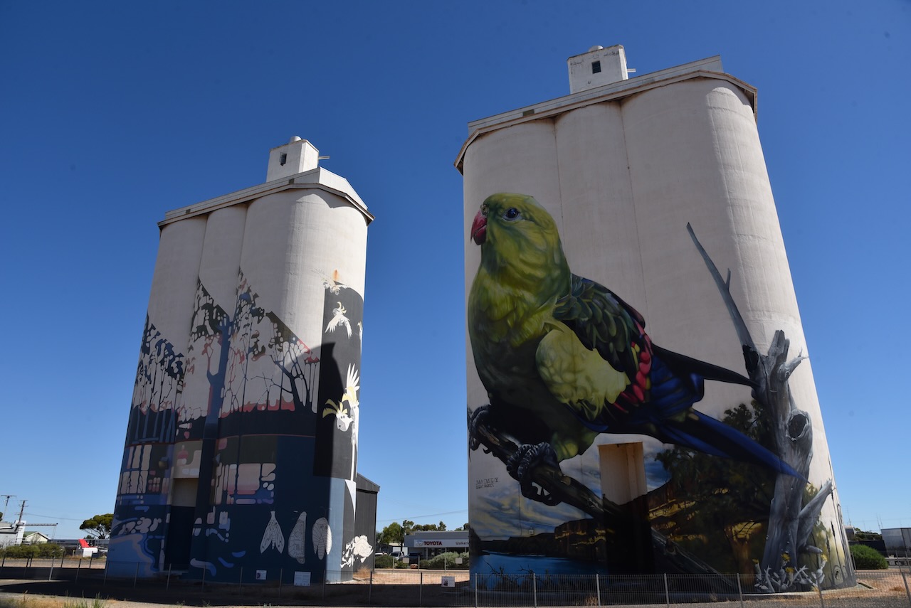
The Loxton silo is located in the heart of the town on Railway Terrace.

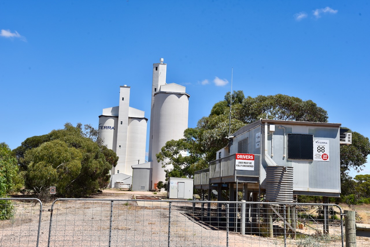
It was quite noisy on the 40m band alongside the silo, so I drove back out to the Loxton oval which was within the 1km activation zone. I had the silo in sight across Bookpurnong Terrace.

Above:- the activation zone at the Loxton silo. Image c/o SiOTA website.

I made the following contacts on 40m SSB:-

  1. VK3ZSC
  2. VK3PF
  3. VK2VH
  4. VK4AAC
  5. VK5CZ/m
  6. VK5DW
  7. VK5FANA

I made the following contacts on 20m SSB:-

  1. VK1AO
  2. VK2MET
  3. VK4SE
  4. VK2IO
  5. VK6XN

I made the following contact on 15m SSB:-

  1. VK6XN

With 13 QSOs in the log from the Loxton silo, I then headed to Berri. The Bookpurnong Road was closed so I had to detour the long way via the ferry at Lyrup. The river levels were still high at Lyrup with sheds and other infrastructure clearly underwater.

Once in Berri, I spent a number of enjoyable hours at the home of Mal VK5MJ. Ron VK5MRE also paid a visit. Whilst at Mal’s I picked up the Realistic DX-302 communications receiver.

References.

  1. A Compendium of the Place Names of South Australia, 2023, <https://published.collections.slsa.sa.gov.au/placenamesofsouthaustralia/>, viewed 2nd February 2023.
  2. District Council of Waikerie, 2023, <https://www.loxtonwaikerie.sa.gov.au/your-council/about-the-loxton-and-waikerie-council/history-of-the-region>, viewed 2nd February 2023.
  3. Wikipedia, 2023, <https://en.wikipedia.org/wiki/Loxton,_South_Australia>, viewed 2nd February 2023.

Alawoona silo VK-ALA5

My third silo activation for Monday 30th January 2023 was the Alawoona silo VK-ALA5. Alawoona is about 220 km east of Adelaide and about 36 km south of the town of Loxton.

Above:- Map showing the location of Alawoona. Map c/o Google maps.

Alawoona is a corruption of the aboriginal word ngalawuna meaning ‘place of hot winds’. The town of Alawoona was proclaimed on the 9th day of July 1914.

Above:- from the Govt Gazette, 9th July 1914. Image c/o Trove.

Alawoona was established as one of the original sidings during the construction of the Barmera railway line. The Alawoona school operated from 1915 to 1967 when it was consolidated with the Browns Well Area School. During the 1930s Alawoona had three churches, a railway refreshment hall, a school, a police station, a bank, a bakery, a butcher shop, two general stores, football clubrooms and a 400-person Institute/hall which held balls and dances.

Above:- the Alawoona Institute 1932 (left) and loading mallee roots (right). Images c/o State Library SA.

Today, many of the shops in Alawoona have closed. The beautiful stone Alawoona Institute remains and is in excellent condition.

The Alawoona silos are located on the northern side of the Karoonda Highway in the middle of town.

I parked in the main street (Karoonda Highway), directly opposite the silos and operated from the 4WD for this activation. I ran the Icom IC-7000, 100 watts, and the Codan 9350 self tuning antenna.

Above:- the activation zone at the Alawoona silos. Image c/o SiOTA website.

I worked the following stations on 40m SSB:-

  1. VK3PF
  2. VK3AHR
  3. VK5FANA
  4. VK3SQ
  5. VK2MVP
  6. VK2MOP
  7. VK2VH
  8. VK4AAC
  9. VK5BJF
  10. VK3GRX

I worked the following stations on 20m SSB:-

  1. VK3PF
  2. VK2IO
  3. VK4OY
  4. VK1AO
  5. VK2MET

With 15 QSOs in the log, I headed to my fourth silo for the day, the Loxton silo in the Riverland region of South Australi.

References.

  1. A Compendium of the Place Names of South Australia, 2023, <https://published.collections.slsa.sa.gov.au/placenamesofsouthaustralia/>, viewed 2nd February 2023.
  2. ABC News, 2023, <https://www.abc.net.au/news/2019-12-15/alawoona-ghost-town-building-looking-for-a-saviour/11788728>, viewed 2nd February 2023.

Wanbi silo VK-WNI5

After leaving Karoonda I continued northeast on the Karoonda Highway. I stopped briefly to have a look at the cairn to commemorate the pioneer settlers who established the Lowaldie settlement.

Blink nowadays and you will miss Lowaldie. It is located about 11 km northeast of Karoonda. The town was proclaimed on the 2nd day of April 1914. The Lowaldie Post Office was opened in 1917 and closed in 1969. The Lowaldie school opened in 1922 and closed in 1940. Lowaldie is an aboriginal name meaning ‘summer’.

I continued on through the tiny towns of Borrika and Sandalwood and then Halidon.

Borrika is an aboriginal word meaning ‘a stranger’s hut’. Borrika was proclaimed on the 2nd day of April 1914. The Borrika school opened in 1915 and closed in 1941.

Above:- town plan of Borrika. Image c/o Trove.

Sandalwood was proclaimed as a town on the 9th day of April 1914. It takes its name from the Sandalwood trees which are common in the area. The Sandalwood school opened in 1919 and closed in 1944.

Above:- Town plan of Sandalwood. Image c/o Trove.

Halidon is located about 37 km northeast of Karoonda. It was named after Halidon Hill, the site of a victory over the Scots by the army of King Edward III. It was surveyed by A. Thomas in February 1914 and was proclaimed on the 25th day of June 1914. The Halidon school opened in 1918 and closed in 1966.

After leaving Halidon I stopped at the Goyders Line monument on the Karoonda Highway

Goyder’s Line is an ‘imaginary’ line that runs east to west across South Australia. The line joins places that have an average rainfall of 250 mm (10 inches). Anywhere north of Goyders Line has an annual rainfall that generally is too low to support cropping and only suitable for grazing. The line also indicates a change in the vegetation, with the land to the south comprising mostly mallee scrub, whilst to the north of Goyder’s Line saltbush is the primary vegetation.

Above:- Goyder’s Line. Image c/o Wikipedia.

The line takes its name from Surveyor General George Goyder. In 1865 he was asked to map South Australia with areas receiving reliable rainfall and those in drought. In November 1865, Goyder travelled about 3,200 on horseback across South Australia. On the 6th day of December 1865, Goyder submitted his report and map to the South Australian colonial government. His map included the demarcation line. Goyder recommended that farmers not planted crops north of the line and used that land only for light grazing.

Above:- George Goyder. Image /o Wikipedia.

I then reached the little town of Wanbi, about 157 km from Adelaide.

Above:- Map showing the location of Wanbi. Map c/o Google maps.

Wanbi is an aboriginal word meaning ‘dingo’. The town of Wanbi was proclaimed on the 9th day of July 1914.

Sadly not much remains in Wanbi today. The old Wanbi Memorial hall built in 1925 is in a state of disrepair, and the beautiful two-storey former hotel is closed.

Whilst in Wanbi, I activated the Wanbi silo for the Silos On The Air (SiOTA) program. I operated from the gate leading to the silo and operated from the 4WD.

Above:- the activation zone at the Wambi silo. Image c/o SioTA website.

I ran the Icom IC-7000, 100 watts, and the Codan 930 self-tuning antenna mounted on the rear of the 4WD.

I made the following contacts on 40m SSB:-

  1. VK3AHR
  2. VK3PF
  3. VK3ZSC
  4. VK5FANA
  5. VK5CZ
  6. VK3NBL

I made the following contacts on 20m SSB:-

  1. VK1AO
  2. VK2MET
  3. VK4EW
  4. VK3PF

I made the following QSO on 15m SSB:-

  1. VK4EW

With 11 QSOs in the log, I headed to my next silo activation at Alawoona.

References.

  1. A Compendium of the Place Names of South Australia, 2023, <https://published.collections.slsa.sa.gov.au/placenamesofsouthaustralia/>, viewed 1st February 2023.
  2. Wikipedia, 2023, <https://en.wikipedia.org/wiki/Goyder%27s_Line> viewed 1st February 2023.

Karoonda silo VK-KRA5

On Monday 30th January 2023, I left home to travel up to the Riverland region of South Australia. The purpose of my visit was to collect a communications receiver.

I was on the road by 7.00 a.m. and stopped at the Strathalbyn bakery just down the road from home for a coffee and a bacon & egg roll. I then headed to Murray Bridge where I stopped briefly to have a look at the flooding of the Murray River. There were parts of Murray Bridge that I had previously never seen water.

I then travelled east along the Karoonda Highway and stopped at the monument for the old Kulde school site on the Karoonda Highway. Kulde is an aboriginal word for ‘brothers’. The Kulde school opened in 1930 and closed in 1940. There was also once a railway station here.

My next stop was the little town of Wynarka, about 120 km southeast of Adelaide. The name Wynarka is from an aboriginal word meaning ‘a strayer’. The government town of Wynarka was proclaimed on the 9th day of January 1913.  Sadly the town became infamous following the discovery of the remains of a young child in a suitcase on the side of the Karoonda Highway in 2015.

Next was Karoonda, which is located about 146 km from Adelaide. Karoonda was a former aboriginal camp on a trade route. It is derived from the aboriginal word karunda meaning ‘winter’s camp’.

It is believed the first European to take up land in the Karoonda area was James Archibald Cook who took up land under pastoral lease 2093 from the 1st day of January 1871. The town of Karoonda was proclaimed on the 11th day of December 1913 and was extended in 1928.

Between 1911-1914 railways were constructed to open up the mallee region of South Australia. Karoonda was on the Brown’s Well railway line and became a junction with the Waikerie railway line to the north and the Peebinga railway line to the east. Sadly both branches were closed in 1990. However, the main line through Karoonda remained open until it was closed in 2015.

Above:- Karoonda railway yard and town, c. 1915. Image c/o State Library South Australia.

On the main street of Karoonda, you can view an information board on the railways, the old Karoonda railway crane, and the old railway station.

One of the iconic features of Karoonda is ‘The Big Ram’. Well, it is not really what I call ‘big’, but nonetheless it is very interesting. It recognised the importance of the sheep industry in the Karoonda area.

In close proximity is a memorial to Senior Constable Harold Rae Pannell who was murdered in the course of his duty in 1957.

Senior Constable Pannell had attended the property of John Fischer at Bow Hill to execute a warrant to seize property. Fischer had failed to pay damages that had been awarded against him in a civil court case that arose from a motor vehicle accident in 1955.

Senior Constable Pannell was shot at point-blank range in the head by Fischer. In the week leading up to the shooting, Pannell had attempted to explain to Fischer that he would be forced to take personal property to cover the outstanding debt. Fischer was unable to understand this.

Fischer was tried for murder, however, the Supreme Court found him not guilty on the grounds of insanity and he was committed into the strict custody of a mental institution at the Governor’s pleasure. Fischer died in 1988 at the age of 67.

Above:- Senior Constable Pannell. Image c/o Police Assoc of SA.

Also in the main street you can find the Karoonda Centenary Walk which commemorates the pioneers of Karoonda. It features a number of pavers leading to a windmill structure.

I then set up at the Karoonda silo for an activation for the Silos On The Air (SioTA) program.

The Karoonda silo is a tribute to the heritage of farming in the Karoonda district.

By day one side of the Karoonda Silos is a magnificent tribute to the heritage of farming in Karoonda. Some people ask, why are parts of the silo not painted? Well by night, the ‘blank’ area of the silo is brought to life with colour art projections. The Karoonda silo was the first of its kind in Australia, offering silo art by day and silo art by night.

The silo was painted by renowned Australian artist Heesco. It took him about 38 days to pain the silo, which was completed on the 26th day of July 2019.

Below is a video where silo artist Heesco tells the story of the Karoonda silo.

Below is a drone fly over showing the town of Karoonda and the Karoonda silo.

I operated from the vehicle in the car park alongside the silo. I ran the Icom IC-7000, 100 watts, and the Codan 930 self-tuning antenna. It was very quiet on all of the bands despite being in the middle of the town.

Above:- the silo activation zone for Karoonda. Image c/o SiOTA website.

I made the following contacts on 40m SSB from the Karoonda silo:-

  1. VK3PF
  2. VK5FANA
  3. VK3SQ
  4. VK2IO
  5. VK3AHR
  6. VK5MJ
  7. VK3ZZS/p
  8. VK3ZSC

I made the following contacts on 20m SSB:-

  1. VK4KLA
  2. VK4MUD

I also put out some calls on 21.250 on 15m and 28.490 on 10m, but had no takers.

Also in Karoonda is Pioneer Park which is maintained by the Karoonda Historical Society. It contains a number of historical buildings including Wynarka’s original pioneer Metholidat church and the Kunlara Post and Telephone Office which is believed to be one of the smallest ever built.

Entry is a gold coin donation. Marija and I have visited here previously and we highly recommend a visit if you are in Karoonda.

I then left Karoonda and continued east to my next stop, the Wanbi silo.

References.

  1. A Compendium of the Place Names of South Australia, 2023, <https://published.collections.slsa.sa.gov.au/placenamesofsouthaustralia/>, viewed 1st February 2023.
  2. Australian Silo Art Trail, 2023, <https://www.australiansiloarttrail.com/karoonda>, viewed 1st February 2023.
  3. Police Association of South Australia, 2023, <https://www.facebook.com/PASouthAustralia/photos/roll-of-honour-march-12-1957-i-senior-constable-harold-rae-pannell-38-karoonda-p/2035264643295114/?paipv=0&eav=AfbnzH28ycBL_VmVatyX8e7MO5hES0Zt8nMQLoDsjFCwlV4fYbpolLITMxiUDMOkw2k&_rdr>, viewed 1st February 2023.
  4. Wikipedia, 2023, <https://en.wikipedia.org/wiki/Wynarka,_South_Australia>, viewed 1st February 2023.

Trip to the Riverland

Thank you to everyone who called me over the past few days during my trip to the Riverland region of South Australia.

I activated 5 Conservation Parks and 9 silos.

I made a total of 391 QSOs on 10, 15, 20, 40 & 80m SSB.

  • Karoonda silo VK-KRA5 – 10 QSOs
  • Wanbi silo VK-WNI5 – 11 QSOs
  • Alawoona silo VK-ALA5 – 15 QSOs
  • Loxton silo VK-LXN5 – 13 QSOs
  • Cooltong Conservation Park VKFF-0823 – 37 QSOs
  • Paringa silo VK-PRG5 – 14 QSOs
  • Pike River Conservation Park VKFF-0831 – 46 QSOs
  • Wunkar silo VK-WNR5 – 11 QSOs
  • Mantung Conservation Park VKFF-1055 – 46 QSOs
  • Bakara Conservation Park VKFF-0868 – 67 QSOs
  • Waikerie silo VK-WKE5 – 19 QSOs
  • Brookfield Conservation Park VKFF-0822 – 70 QSOs
  • Cambrai silo VBK-CMI5 – 14 QSOs
  • Apamura silo VK-APA5 – 18 QSOs

It was also great to catch up with Mal VK5MJ, Ron VK5MRE, Ivan VK5HS & Dany VK5DW.

I will place more information about each activation on my WordPress site over the coming weeks.

PSK Reporter

Yesterday afternoon, for the first time, I looked at PSK Reporter, an amateur radio signal reporting and spotting network. The platform works by collecting digital signal reports from software clients such as WSJT and FLDIGI then mapping them to show which stations are being heard by other clients.

The map below shows the signals sent/received by VK5PAS over a 24-hour period.

The map below shows the signals received by VK5PAS over a 24-hour period.

A very neat website that shows where your digital signal is being heard.

China Radio International – 17490 kHz

At about 1105 UTC on Wednesday 25th January 2023, I tuned in to China Radio International broadcasting in the English language on 17490kHz.

The broadcast was coming from the Kashi-Saibagh 2022 500 kW transmitter.

The overall reception of China Radio International was good.

SINPO
44444

Below is a short video of my reception of China Radio International.

NHK World Japan – 17810 kHz

At about 0425 UTC on Wednesday 25th January 2023, I tuned in to NHK World Japan broadcasting in the Japanese language on 17810 kHz.

The broadcast was coming from the Ibaragi-Koga-Yamata 300kW transmitter in Japan.

The overall reception of NHK World Japan was good.

SINPO
45444

Below is a short video of my reception of NHK World Japan.