
My final activation for my Riverland trip was the Apamurra silo VK-APA5.
Apamurra is located about 77 km east of Adelaide, and about 38 km north of Murray Bridge.

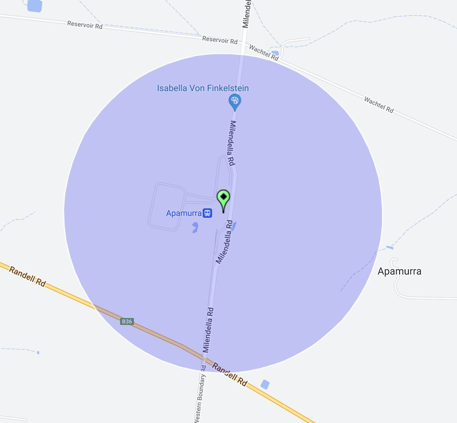
Above:- Map showing the location of Apamurra. Map c/o Google maps.
Apamurra is a railway siding on the former Monarto-Sedan railway. Apamurra is an aboriginal word meaning ‘fresh water’. The township of Apamurra was laid out in 1921 on part sections 30-31, Hundred of Finniss, by Johann Gottfried Hartmann. It comprised 19 allotments contiguous to the railway station. On the 17th day of February 1922, the Apamurra Post Office opened. It closed on the 31st day of July 1971.

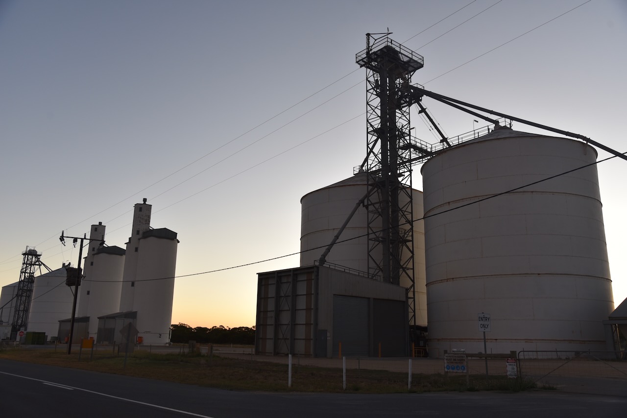


I operated from the 4WD on the side of the road opposite the silos.
Above:- The activation zone at the Apamurra silo. Image c/o SiOTA website.
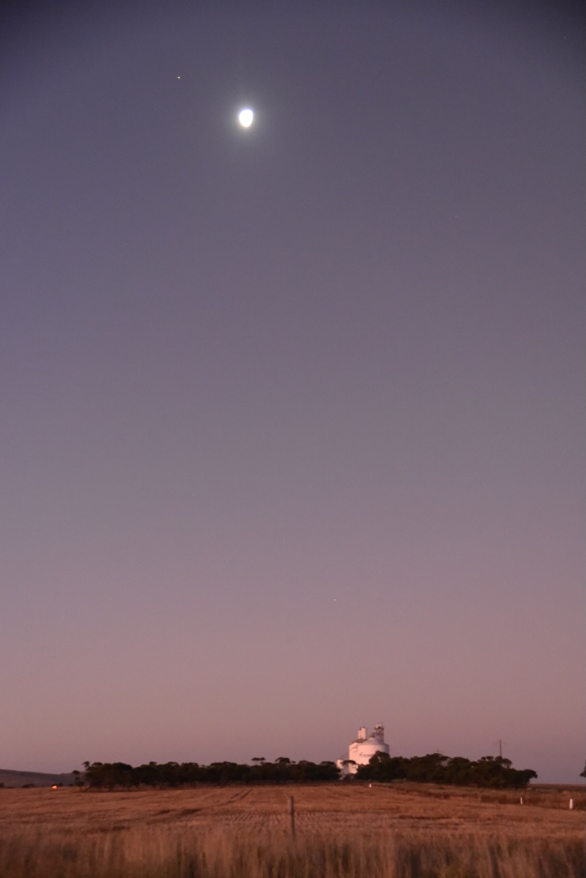
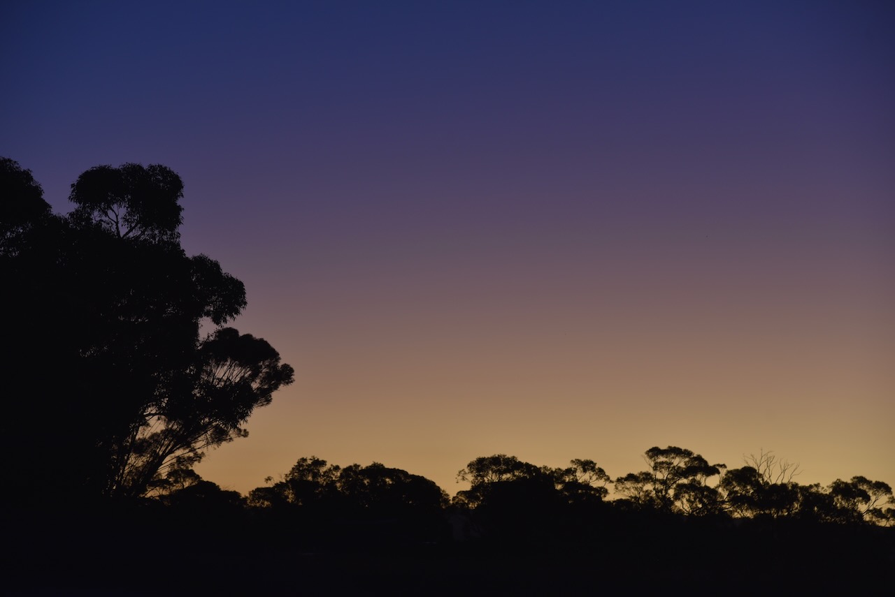
As I operated I enjoyed a beautiful sunset.

I made the following contacts on 40m SSB:-
- VK3PF
- VK4SMA
- VK1AO
- VK2MET
- VK2IO
- VK3OHM
- VK5MAZ
- VK3WMF
- VK5FANA
- VK4GNG
- VK2BED
- VK3PWG
- VK1CHW
- VK5FB
- VK3APJ
- VK3MCA
I made the following contacts on 80m SSB:-
- VK5MRE
- VK3TCT
It was the end of a great couple of days in the Riverland and the Murray Mallee.
References.
- A Compendium of the Place Names of South Australia, 2023, <https://published.collections.slsa.sa.gov.au/placenamesofsouthaustralia/>, viewed 14th February 2023.
