
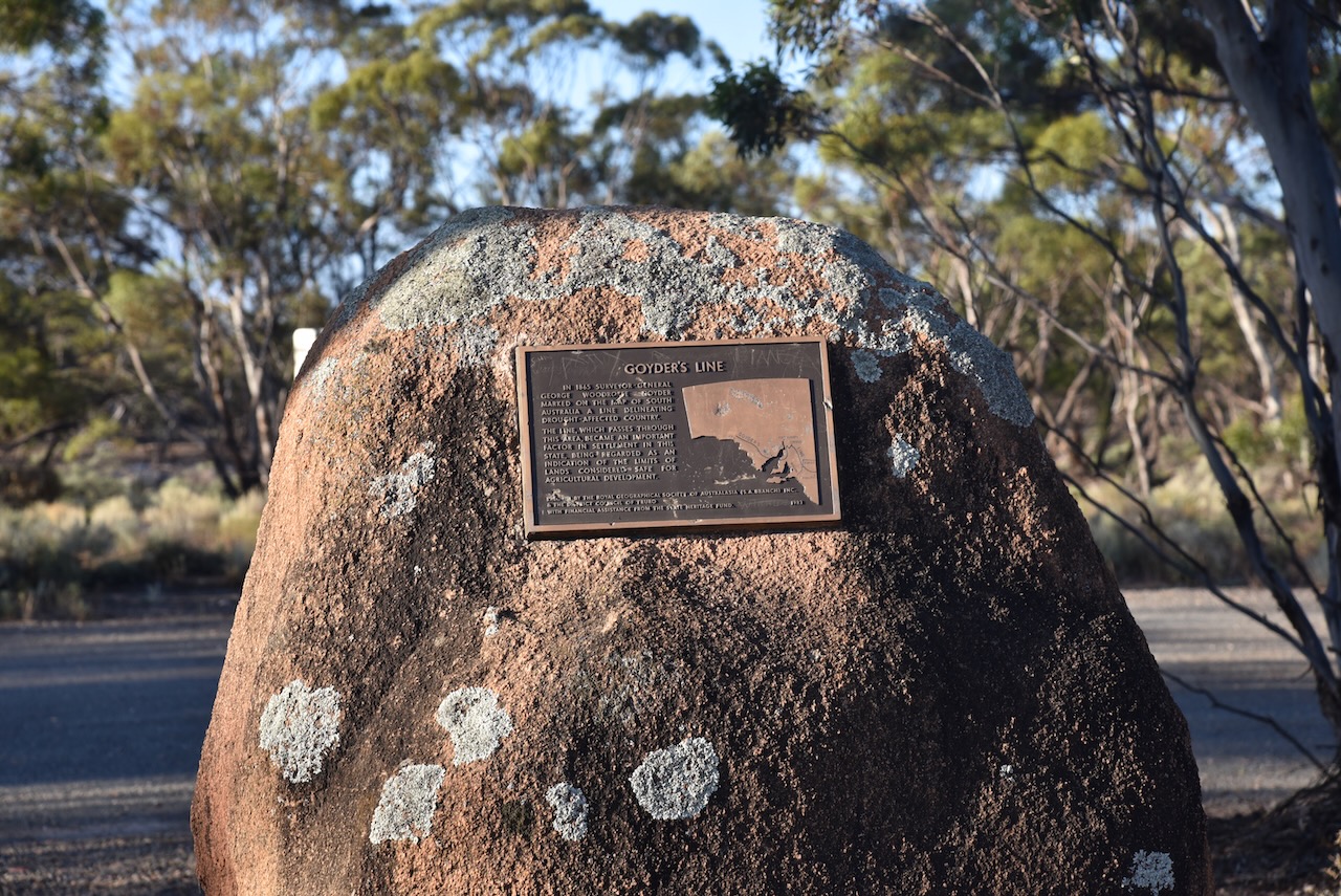
After leaving the Brookfield Conservation Park, I continued west on the Sturt Highway and then turned to travel south on Halfway House Road. Prior to that, I stopped briefly to have a look at the Goyders Line monument on the Sturt Highway. I have spoken about Goyders Line previously in other posts. But in summary, it is a boundary line across South Australia corresponding to a rainfall boundary believed to indicate the edge of the area suitable for agriculture.
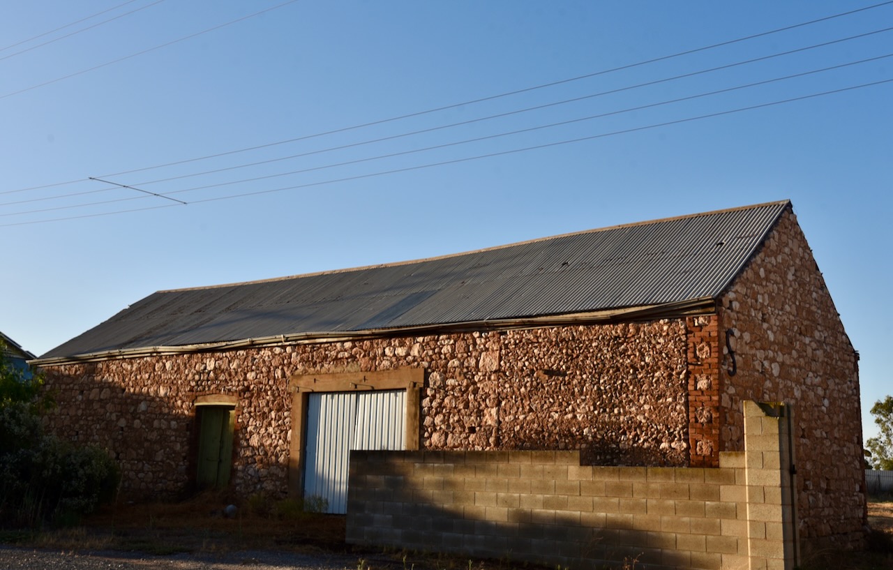
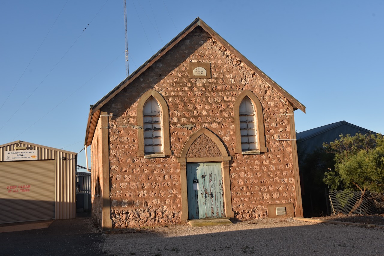
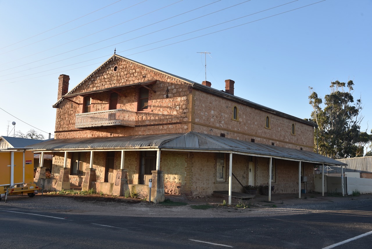
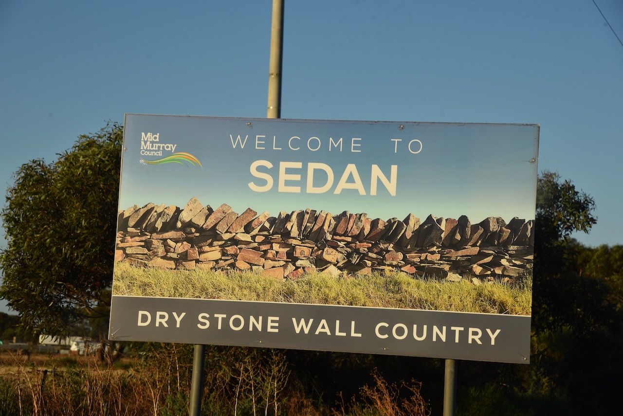
After travelling about 25 km along Halfway House Road, I reached the small town of Sedan. It is known as ‘Dry stone wall country’ due to the numerous dry-stone walls built by early settlers that can be found in the area.
The first known European settlement in the area was from 1845 when ‘Rhine Run’ was taken up by George Melrose (b. 1806. d. 1894), following his arrival in South Australia in 1839.
In 1872 the Sedan Post Office was opened. In 1873, portion of section 52 Hundred of Bagot, was granted to J.W. Pfieffer (b. 1825. d. 1910). He had arrived in South Australia aboard the Zebra in 1838. He subdivided the land in 1875 as the township of Sedan. It was extended in 1883, with the creation of Sedan East on part section 46, surveyed by C. Von Bertouch.
The Sedan School was opened in 1912 and was closed in 1980.
The town takes its name from the battle of Sedan in Europe and its affiliation with the German population in South Australia.
The town has a number of historic buildings.


Just 10km down the road I reached the little town of Cambrai. It was originally laid out in 1882 by Abel Pollard Skinner as Rhine Villa. It was one of the numerous Australian towns which were re-named by the Nomenclature Committee during the First World War to remove any connection with German names. It was renamed Cambrai after the Battle of Cambrai. The original proposal was Pongaree Villa, but the government opted for Cambrai. Pongaree is an aboriginal word meaning ‘shade reflection in the water’.
The Rhine Villa school was opened in 1888, with the school being closed in 1916, along with all German schools. It reopened in 1935 and permanently closed in 1955.


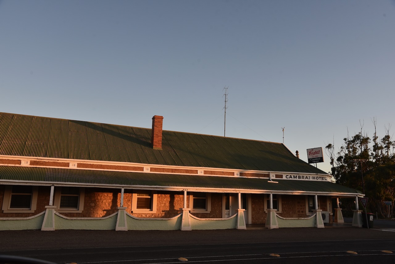


Cambrai was located on the Sedan railway line and served as the terminus of the line from 1964 until the 1980s.
Sadly the old Cambrai hotel is closed. Marija and I enjoyed a very nice meal there a number of years ago on our way back from the Riverland. Like many towns, with the death of the railway….so to brought the death of the town.

Above:- the Rhine Villa Hotel, c. 1905. Image c/o State Library SA.
The Cambrai silos can be located on Silo Road which runs of Black Hill Road on the eastern side of the town.
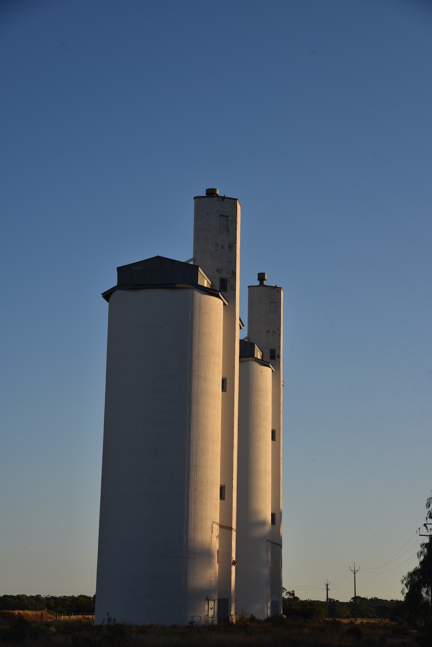

I operated from the 4WD in the parking area adjacent to the silos. I ran the Icom IC-7000, 100 watts, and the Codan 930 self-tuning antenna mounted on the rear of the 4WD>

Above:- the activation zone at Cambrai for the silos. Image c/o SiOTA website.
I made the following QSOs on 40m SSB:-
- VK3ACU
- Vk5MAZ
- VK2IO
- VK3OHM
- VK3PF
- VK5FANA
- VK1CHW
- VK1AO
- VK2MET
- VK2NA
- VK4SMA
- VK3ACZ
- VK1ARQ
- VK3PWG
It was starting to get dark and I was hoping to active one more silo at Apamura, and I still had some way to go before reaching home. So with 14 QSOs in the log I hit the road and headed to Apamura.
References.
- A Compendium of the Place Names of South Australia, 2023, <https://published.collections.slsa.sa.gov.au/placenamesofsouthaustralia/>, viewed 14th February 2023.
- Wikipedia, 2023, <https://en.wikipedia.org/wiki/Sedan,_South_Australia>, viewed 14th February 2023.
- Wikipedia, 2023, <https://en.wikipedia.org/wiki/Cambrai,_South_Australia>, viewed 14th February 2023.
