
It was now Monday 6th February 2023, and Marija had planned some sightseeing and some park and silo activations during the day.
After breakfast, we headed to our first activation of the day, the Lower Yorke Peninsula Marine Park VKFF-1726.
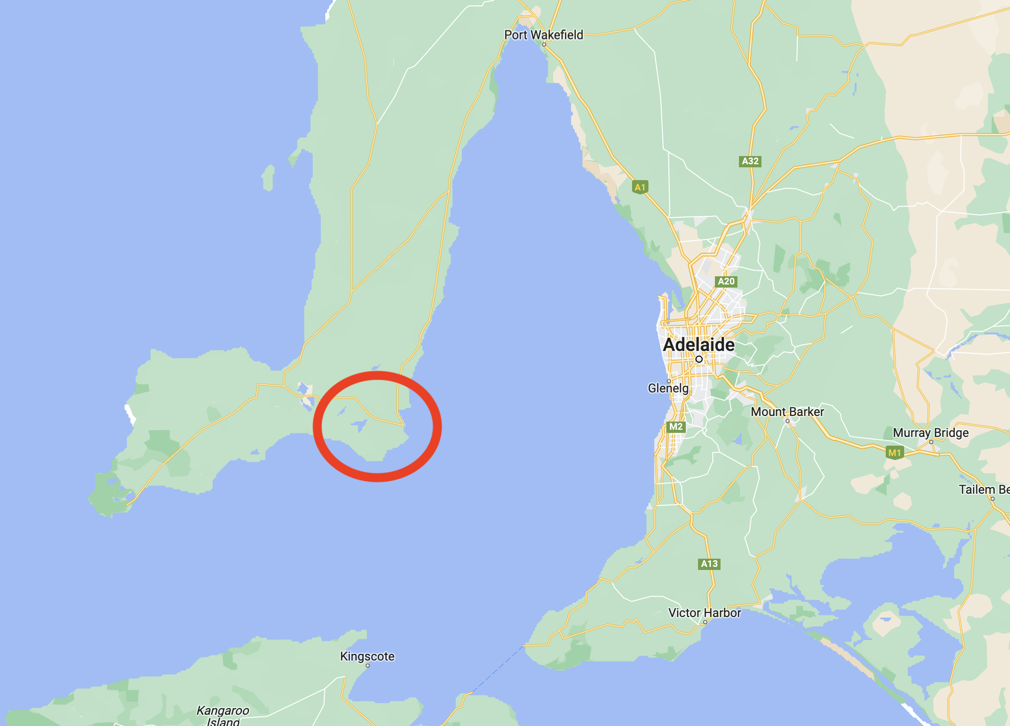
Above:- Map of the Yorke Peninsula, showing the location of the Marine Park. Map c/o Google maps.
The park stretches from just south of Stansbury around the heel of the Yorke Peninsula to the Point Davenport Conservation Park. The park includes Troubridge Island Conservation Park and the surrounding shoals. It excludes an area around Klein Point and also Port Giles. The park covers an area of about 850 km2.
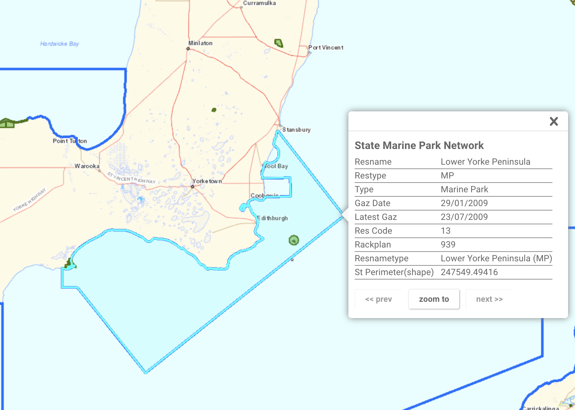
Above:- Map of the Lower Yorke Peninsula MP. Image c/o Location SA Map Viewer.
The Marine Park contains the only two estuaries where freshwater meets the open ocean on the Yorke Peninsula: Salt Creek and the nationally-listed wetland, Point Davenport. Both of these areas provide nursery areas for numerous fish species including King George Whiting and Yellow-eyed mullet.
The Marine Park’s coastline consists of sandy beaches and sections of cliff, and rocky coast.


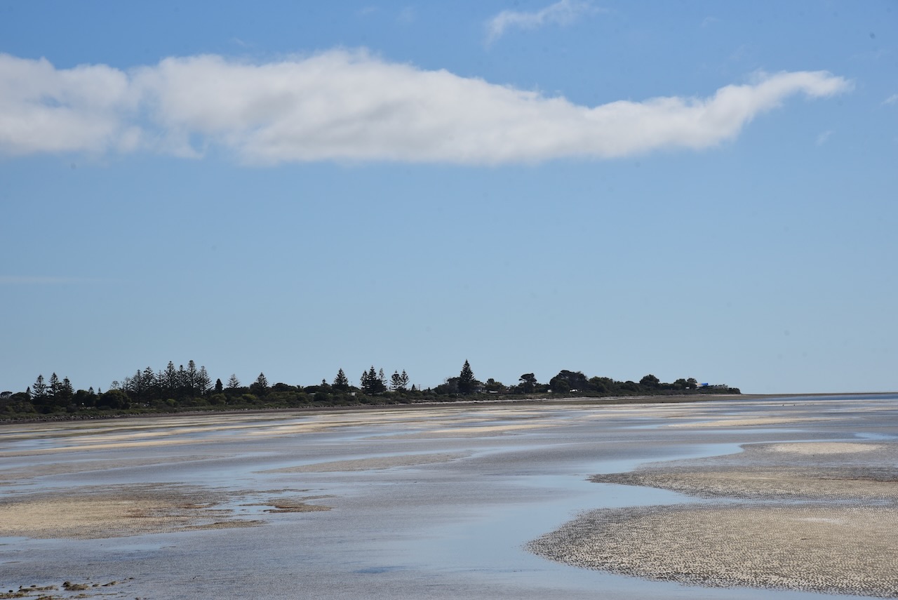


Marija and I drove to Brick Beach, off Klein Point Road. We operated from the 4WD for this activation, running the Icom IC-7000, 100 watts, and the Codan 930 antenna mounted on the rear of the 4WD.
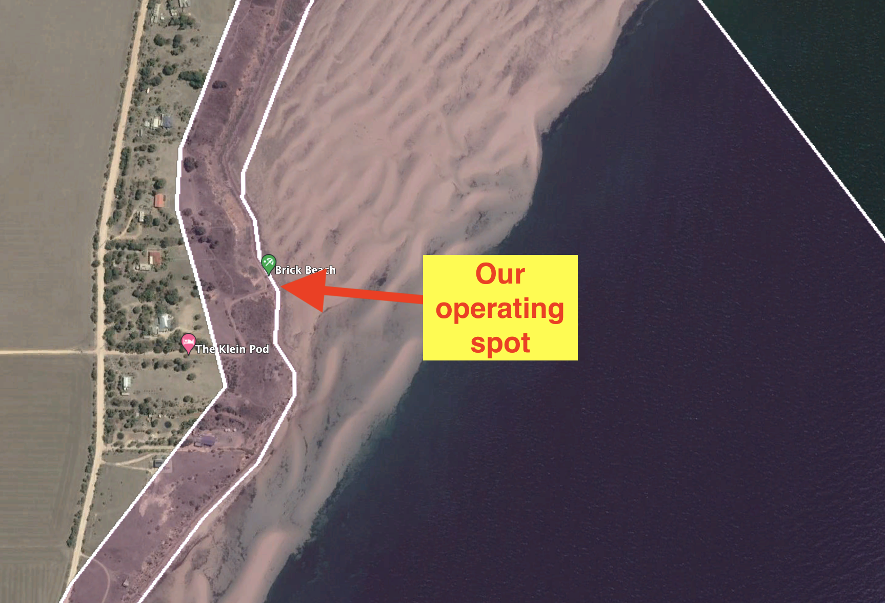
Above:- Aerial view showing our operating spot. Image c/o Google Earth.
Marija worked the following stations on 40m SSB:-
- VK5HS/m
- VK3BBB
- VK2CCP
- VK5TRM
- VK2EXA
- VK5IS
- VK3PF
- VK3MTT
- VK5GY
- VK1AO
- VK2MET
- VK5AYL
I worked the following stations on 40m SSB:-
- VK5HS/m
- VK3BBB
- VK2CCP
- VK5TRM
- VK2EXA
- VK5IS
- VK3PF
- VK3MTT
- VK5GY
- VK1AO
- VK2MET
- VK5AYL
- VK5LA/m
- VK3VJP
- VK2NP
- VK3VIN
- VK2IO
- VK3SQ
- VK5ZLG
- VK2DHN
- VK1DI
- VK3ZSC
- Vk5BJE
- VK2YK
- VK5GA
- VK5CZ
- VK5FANA
I worked the following stations on 20m SSB:-
- VK2NP
- VK1DI
- VK4TJ
- VK1AO
- VK2MET
- ZL3RIK/p
- ZL3Y/p
- VK1RF
- VK4EMP
- VK4TI
I worked the following stations on 15m SSB:-
- VK4FDJL
- VK2WAB
- ZL3MR
- VK4HAT
- VK4FFAB
- VK4HTE
- VK4TJ
- VK4EMP
- VK4TI
I worked the following stations on 10m SSB:-
- VK4TJ
- VK4HTE
- VK4HAT
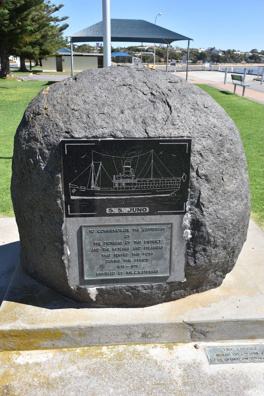
After packing up we headed north to Port Vincent. Marija had been told not to miss the donoughts at the Port Vincent Cafe.
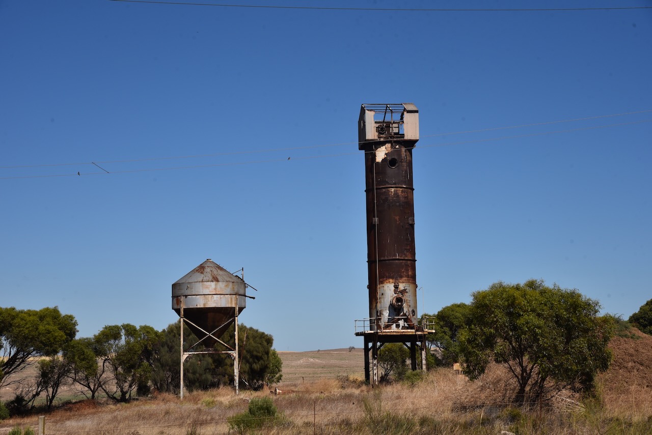
On the way, we stopped to have a look at the old Continuos shaft kiln on the side of the Yorke Highway. If you did not know what this was, you would just drive straight passed it. The kiln was lined with firebricks and commenced operations in 1963. The kiln was capable of burning lime to almost any quality.
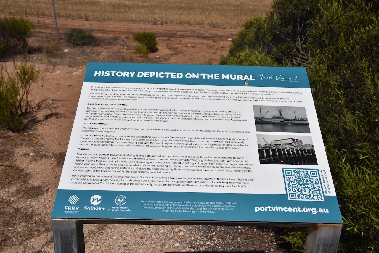
Port Vincent is a beautiful little town and is very popular with holidaymakers.
Port Vincent takes its name from the ‘Port Vincent Special Survey’ of 1839. In 1839, the Adelaide Survey Association organized the surveying of two towns on the Yorke Peninsula: Port Vincent and Port Victoria. Unfortunately, neither survey resulted in any land being taken up. Numerous large sheep runs were subsequently established including Gum Flat Station operated by George Anstey and Thomas Giles, and Stephen Goldsworthy’s run which ran from Black Point to Port Vincent Bay.
The point on which Port Vincent stands was originally known as Surveyors Point. The town was named by the South Australian Government Auctioneer Robert Cock (b. 1801 d. 1871).
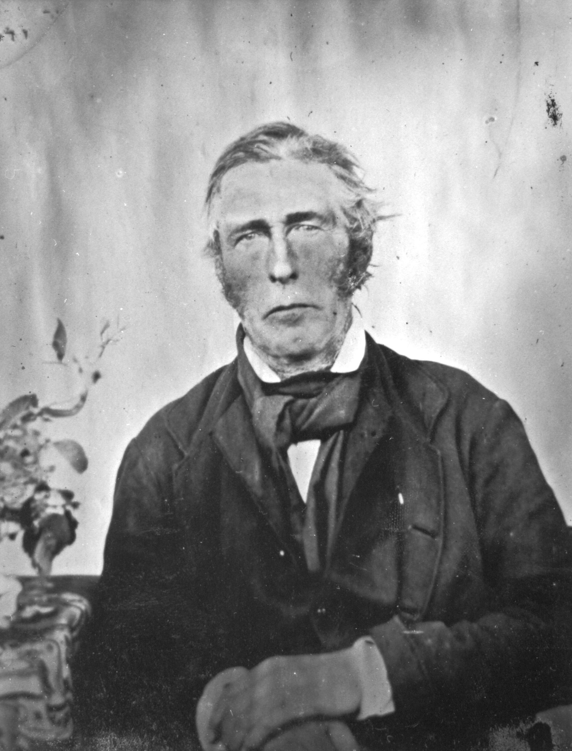
Above:- Robert Cock. Image c/o Wikipedia.
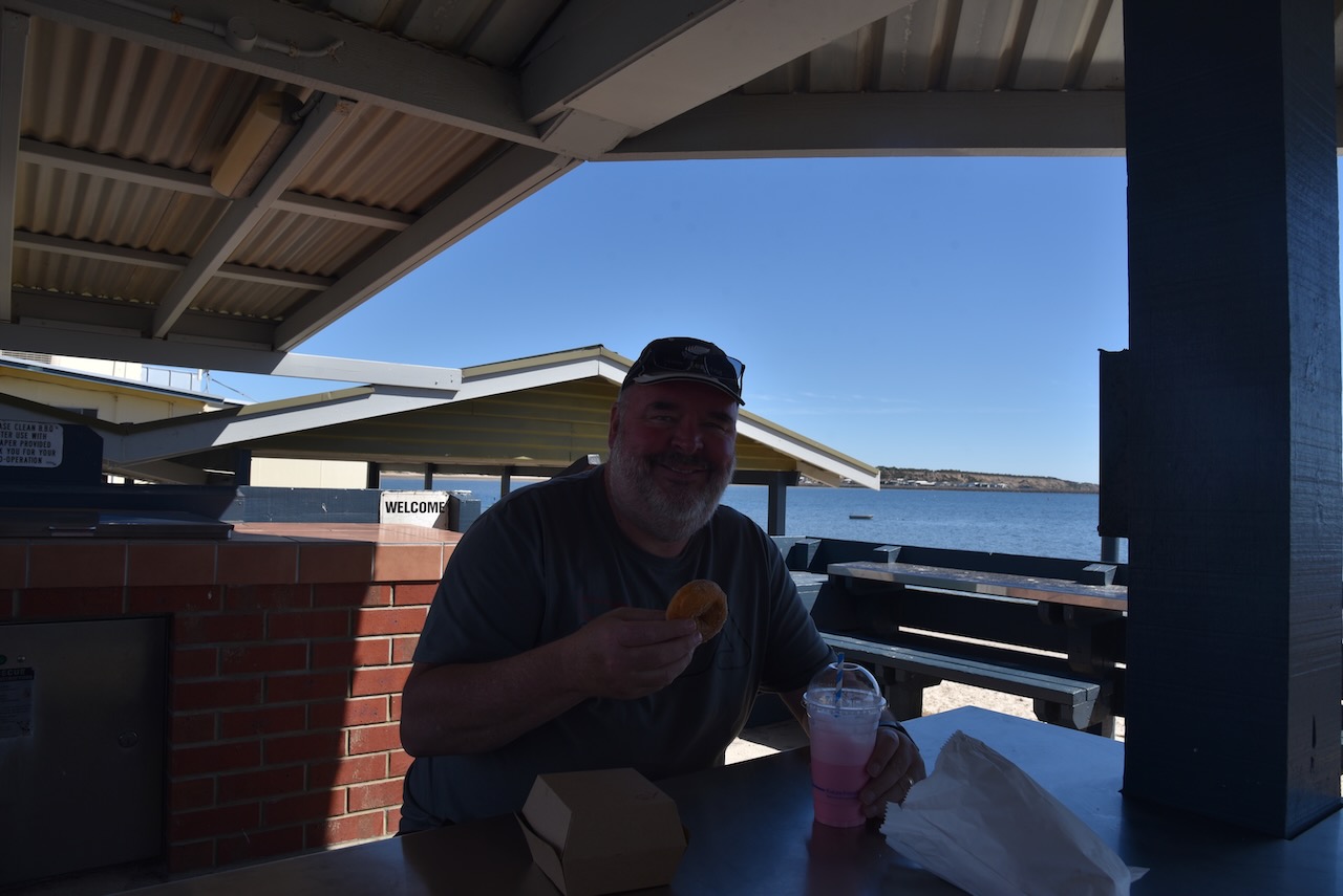
It was a beautiful sunny and warm afternoon and there was lots of activity on the water, including sailing and kayaking.


The Port Vincent Kiosk lived us to its reputation. I had a steak sandwich and some donoughts and a milkshake. It was all absolutely delicious.

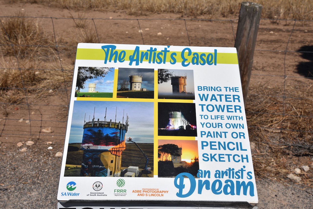
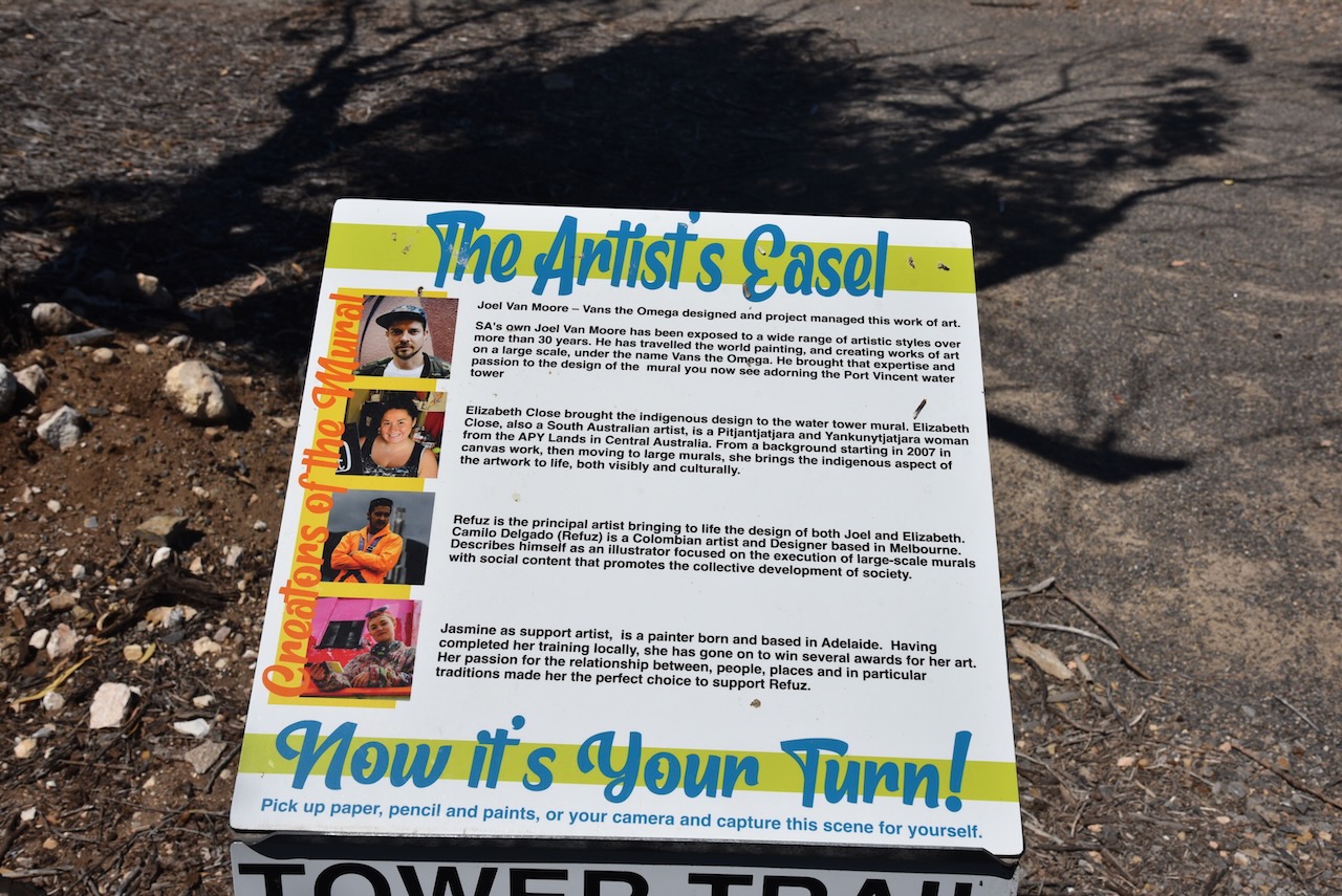
We then headed out to the Port Vincent silo which is part of the Southern Yorke Peninsula Water Tower Mural Trail. The old water tower was painted by Camilo Delgardo & Jasmine Crisp. It took them about 300 litres of paint and was completed on the 17th day of May 2021. The mural includes sailing boats, snapper, and a fisherperson.


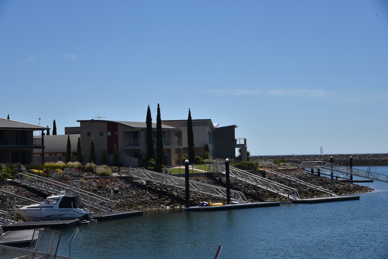
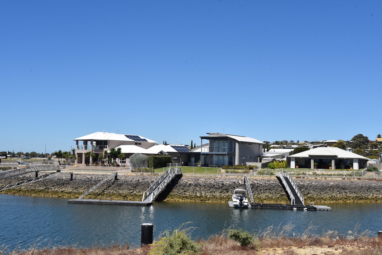
We then drove out to the Port Vincent Marina and new housing development to admire some of the very large houses.

References.
- Australian Silo Art Trail, 2023, <https://www.australiansiloarttrail.com/port-vincent>, viewed 22nd February 2023.
- Government of South Australia, 2012, Lower Yorke Peninsula Marine Park Management Plan.
- National Parks and Wildlife Service SA, 2023, <https://www.marineparks.sa.gov.au/find-a-park/yorke-peninsula/lower-yorke-peninsula>, viewed 22nd February 2023.
