
Marija and I drove a short distance from Ardrossan to our next park activation of the day (5th February 2023), the Upper Gulf St Vincent Marine Park VKFF-1755.
As the name suggests, the park encompasses the upper section of Gulf St Vincent. On the eastern side of the gulf, the park commences from near Middle Beach and then across to the south of Ardrossan.
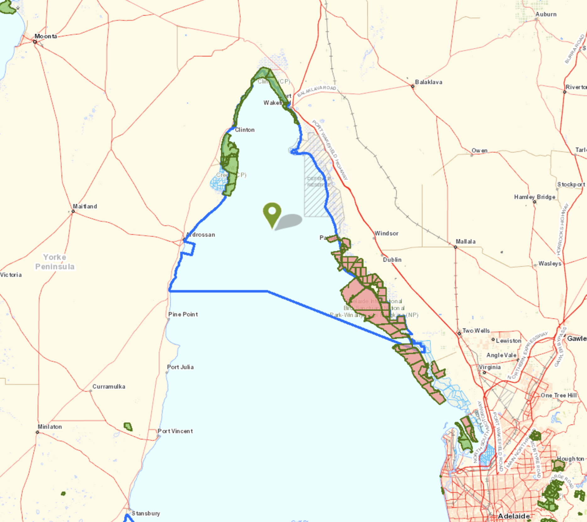
Above:- Map showing the location of the Upper Gulf St Vincent Marine Park. Map c/o Location SA Map Viewer.
The Upper Gulf St Vincent Marine Park features wetlands that are of national importance. This includes the Light River DElta which is considered one of the most ecologically-intact mangrove and saltmarsh systems in South Australia. The park overlays Wills Creek Conservation Park and Clinton Conservation Park. The port of Ardrossan is excluded from the park.
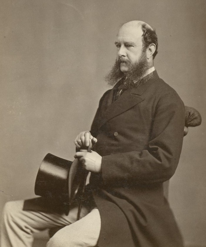
Gulf St Vincent was named Gulph of St Vincent by explorer Matthew Flinders on the 30th day of March 1802. The gulf was named in honour of Admiral John Jervis, 1st Earl of St Vincent who was victorious in a naval battle off Cape St Vincent in Portugal.
On the 8th day of April 1802, following his meeting with Matthew Flinders at Encounter Bay, French explorer Nicholas Baudin mapped the gulf and named it Golfe de la Mauvaise or Golfe de la Misanthrophie. In 1803 he renamed it Golphe Josephine in honour of Josephine Bonaparte.

Above:- John Jervis, 1st Earl of St Vincent. Image c/o Wikipedia.
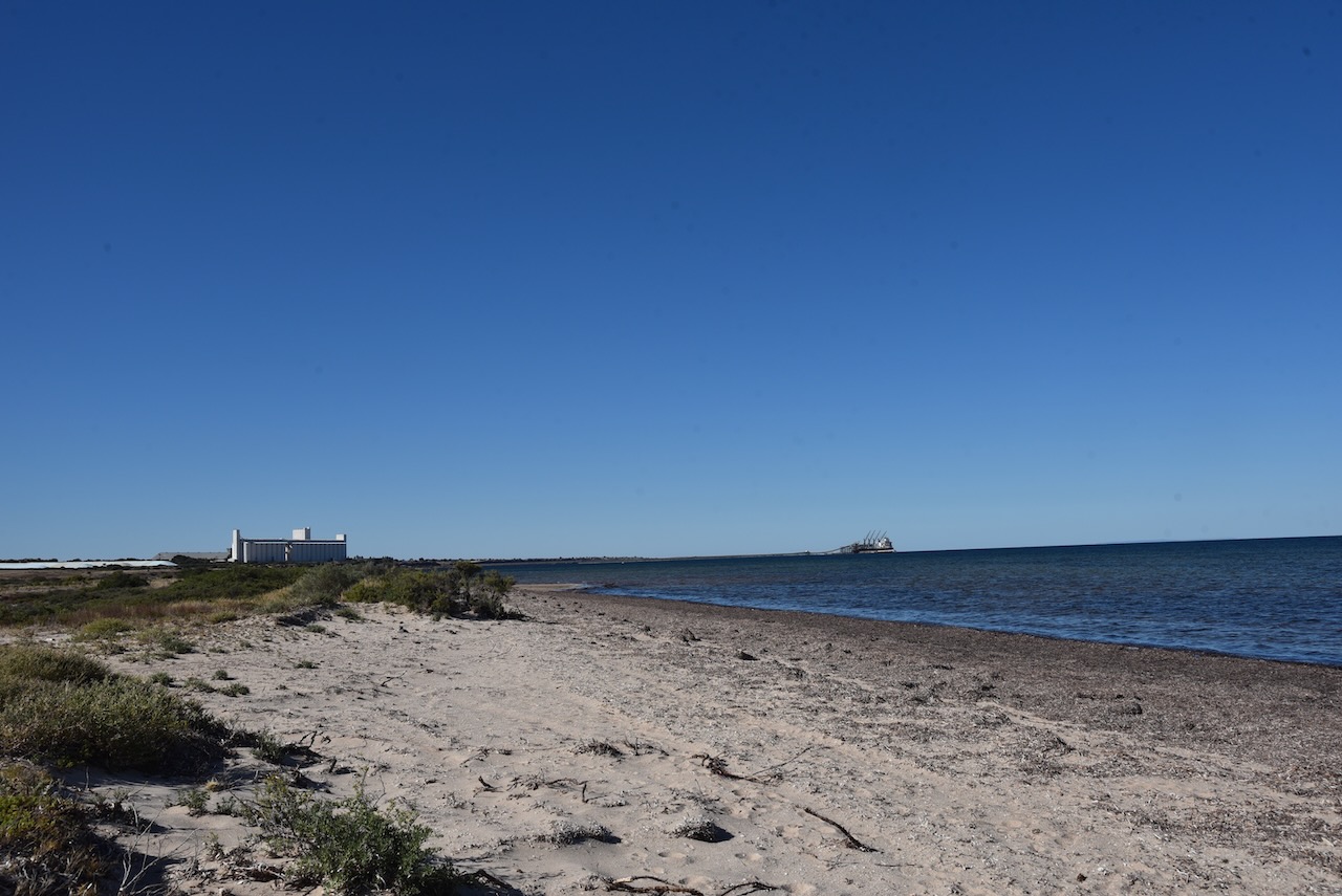
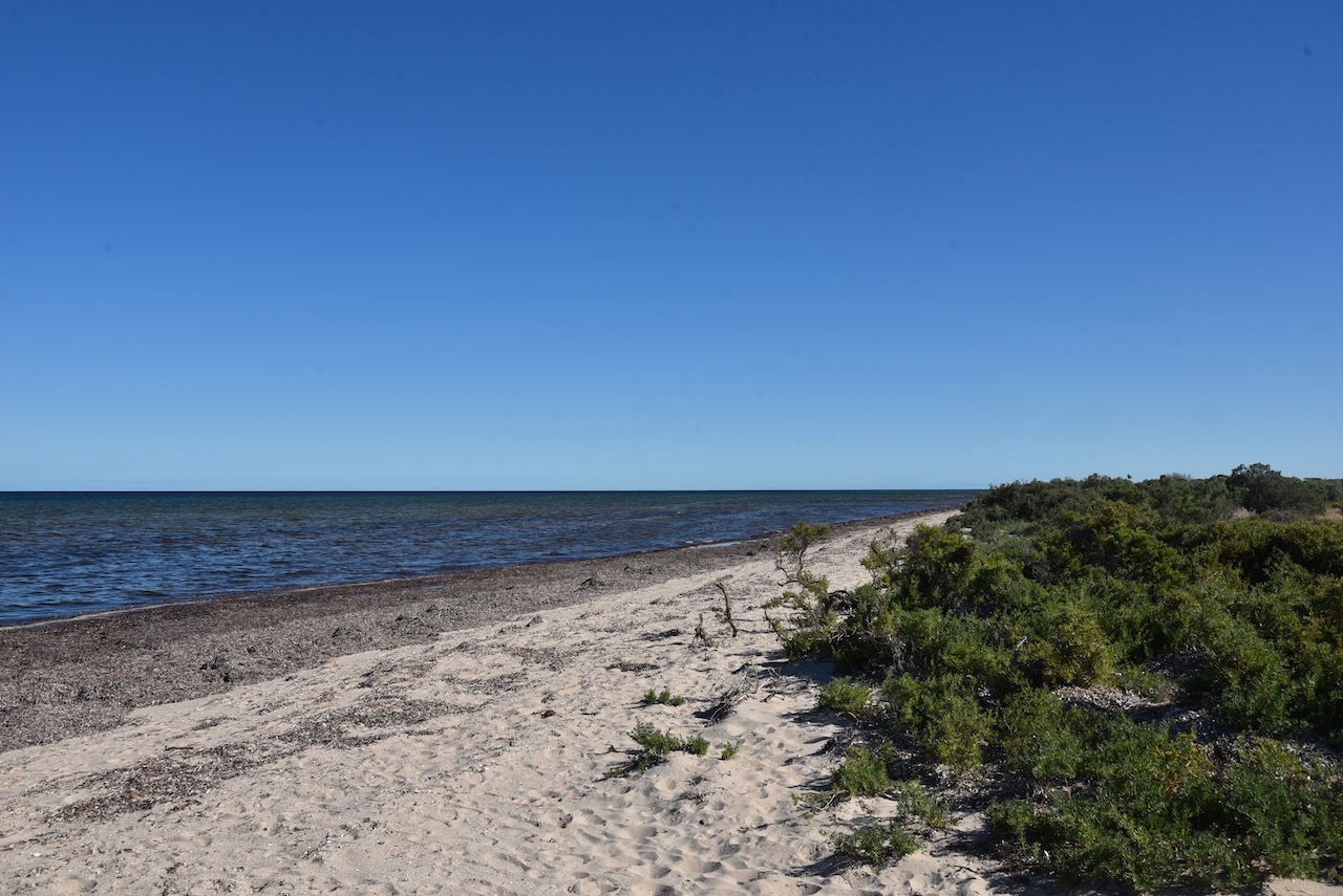
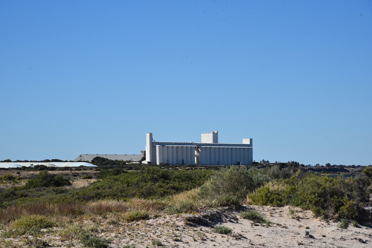
Marija and I set up at the end of Parara Road near the Sperm Whale Memorial. This is at the southernmost point of the park on the western side of the park.
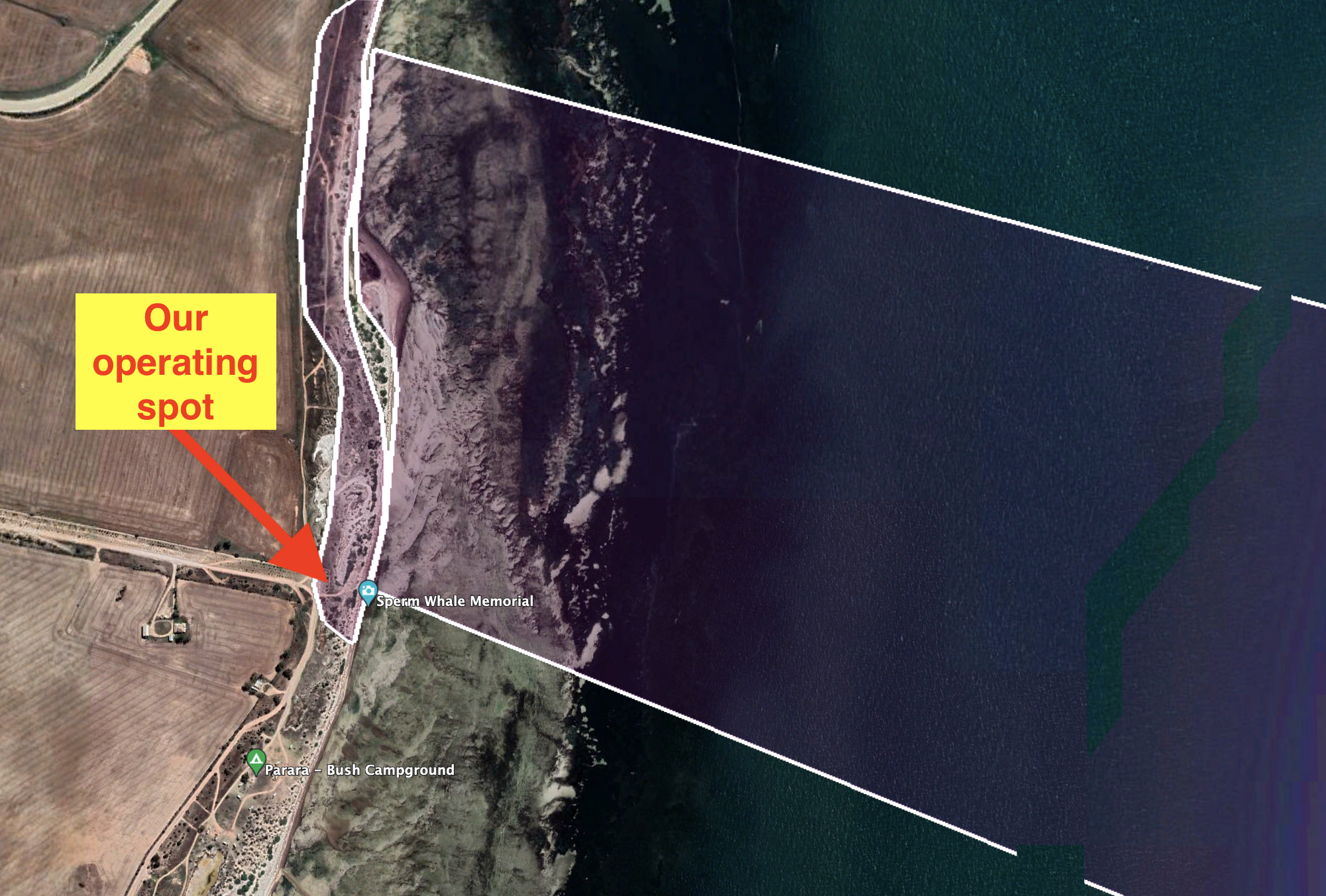
Above:- Aerial view showing our operating spot at the end of Parara Road. Image c/o Google Earth.
We operated from the vehicle for this activation using the Icom IC-7000, 100 watts, and the Codan 930 self tuning antenna.
Marija worked the following stations on 40m SSB:-
- VK5WU
- VK3VIN
- VK4FW
- VK8MM
- VK2YK
- VK5HS
- VK3GJG
- VK2IO
- VK3ZPF
- VK3OAK
- VK5FANA
I worked the following stations on 40m SSB:-
- VK5WU
- VK3VIN
- VK4FW
- VK8MM
- VK2YK
- VK5HS
- VK3GJG
- VK2IO
- VK3ZPF
- VK3OAK
- VK5FANA
- VK2MOE/m
- VK3YAR
- VK5MOS
- VK3MTT
- VK1CHW
- VK3CBP
- VK2NP
- VK7PSJ
- VK5YX
- VK2EXA
- VK2RO
- VK3BBB
- VK2CCP
- VK5NM
- VK2LEE
I worked the following stations on 20m SSB:-
- VK2IJS
- VK3OAK
- VK2NP
- VK4TJ
- VK3ZPF
- VK2IO
- VK4SMA
- VK6NU
- VK3JW
- VK3SQ
- VK3UH
- VK3GJG
- VK6NTE
- ZL3MR
I worked the following stations on 15m SSB:-
- VK2NP
- VK4SMA
- VK1IO
- VK1CHW
- VK4FDJL
- VK4WAB
- VK4TJ
- JH1OLB
- VK4KTW
- VK5HS
I worked the following stations on 10m SSB:-
- VK4FDJL
- VK4WAB
- VK4KTW
- VK4SMA
- VK4TJ
- VK4HTE
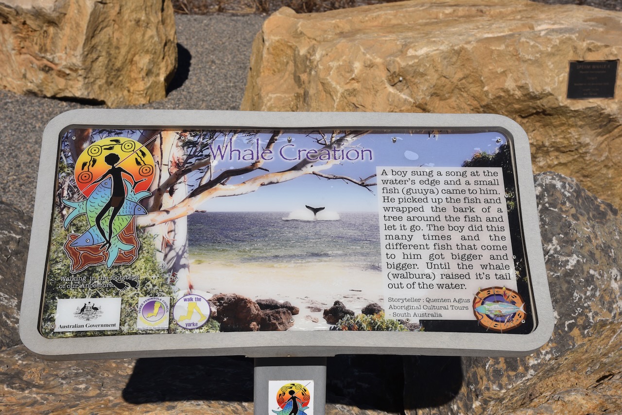
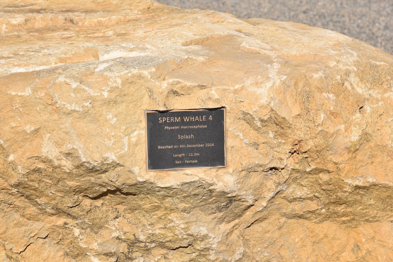
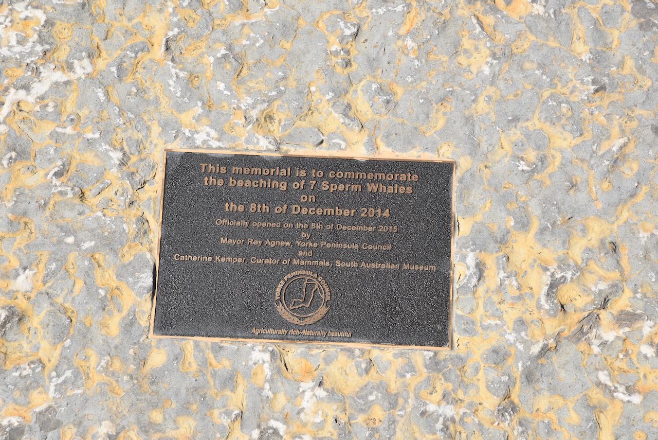
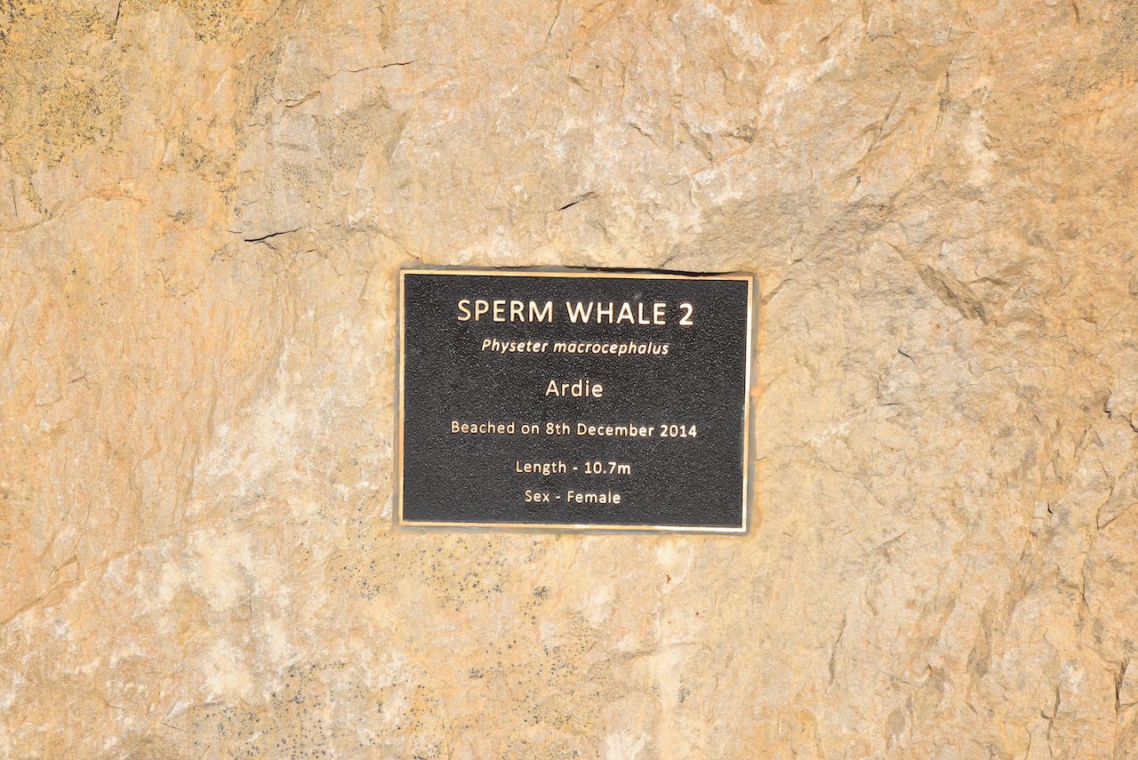
After packing up we had a look at the Sperm whale Memorial which commemorates the beaching of seven sperm whales on the 8th day of December 2014.
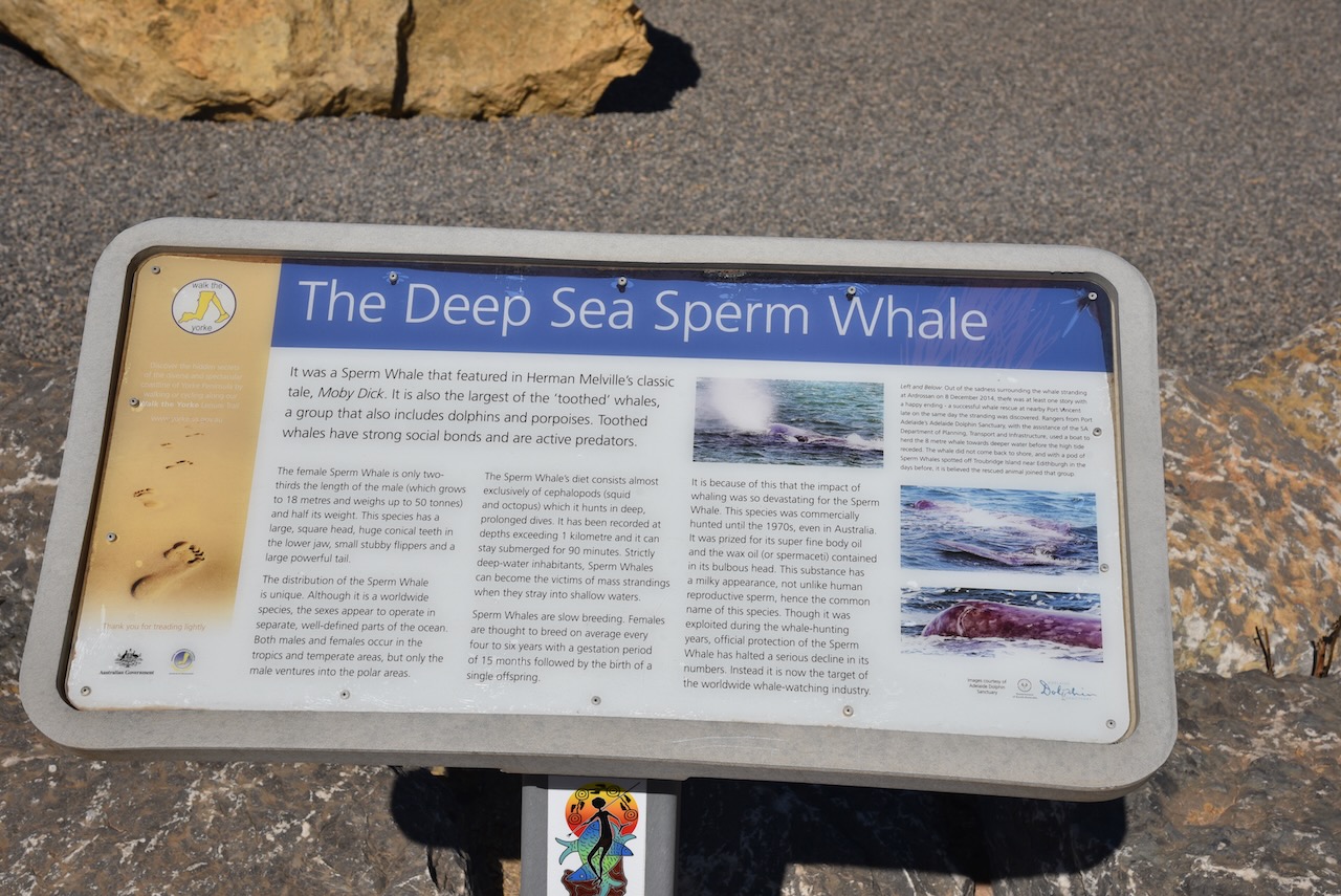
The Sperm whale is the largest of the toothed whales and is the largest toothed predator. Its conservation significance is listed as vulnerable. Mature males average 16 metres (52 ft) in length, with the head representing up to one-third of the animal’s length.
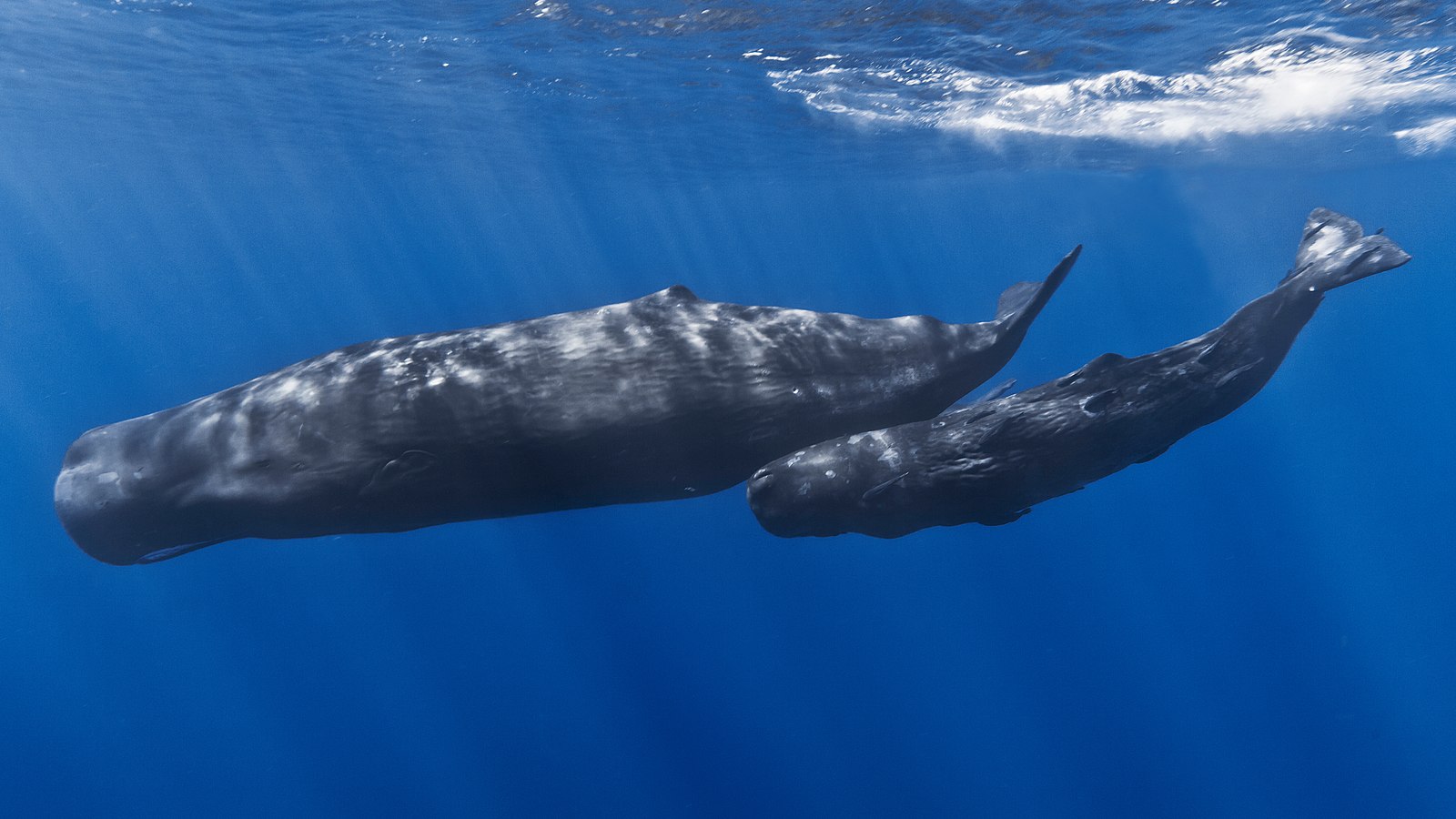
Above:- A Sperm whale and her calf. Image c/o https://en.wikipedia.org/wiki/Sperm_whale
The memorial consists of a series of dolomite boulders which were donated by Arrium Mining, The boulders are placed in the pattern in which the whales were stranded.


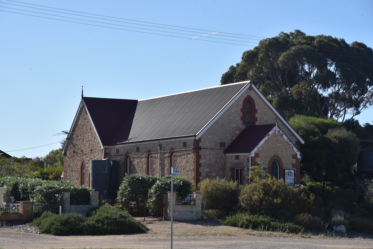
The remains of the old Parara school can be seen opposite the whale memorial.


Also located nearby is the old Parara homestead which was one of the numerous properties owned by the pioneering Bowman brothers.

Marija and I then continued north on the Yorke Highway and soon reached the little town of Pine Point which overlooks the bay of Port Alfred.


The name of the town comes from the aboriginal word narnuworti meaning ‘pine point’. Resin from the trees called narnujako was used by the local aboriginal people for shafting their stone knives.
Pine Point was once one of the numerous small ports on the Yorke Peninsula where sketches would be loaded directly from drays. A small wharf was subsequently built at Pine Point and this enabled the sketches to remain in deeper water. In 1927 a chute was installed which assisted in the loading of the sketches. In October 1967 the ketch Yongala, conveyed the last cargo of grain from Pine Point to Port Adelaide. The bulk grain facilities at Ardrossan, Wallaroo and Port Giles had replaced the use of the ketches.

Above:- a ketch at Pine Point waiting to be loaded with grain, c. 1927. Image c/o State Library SA.
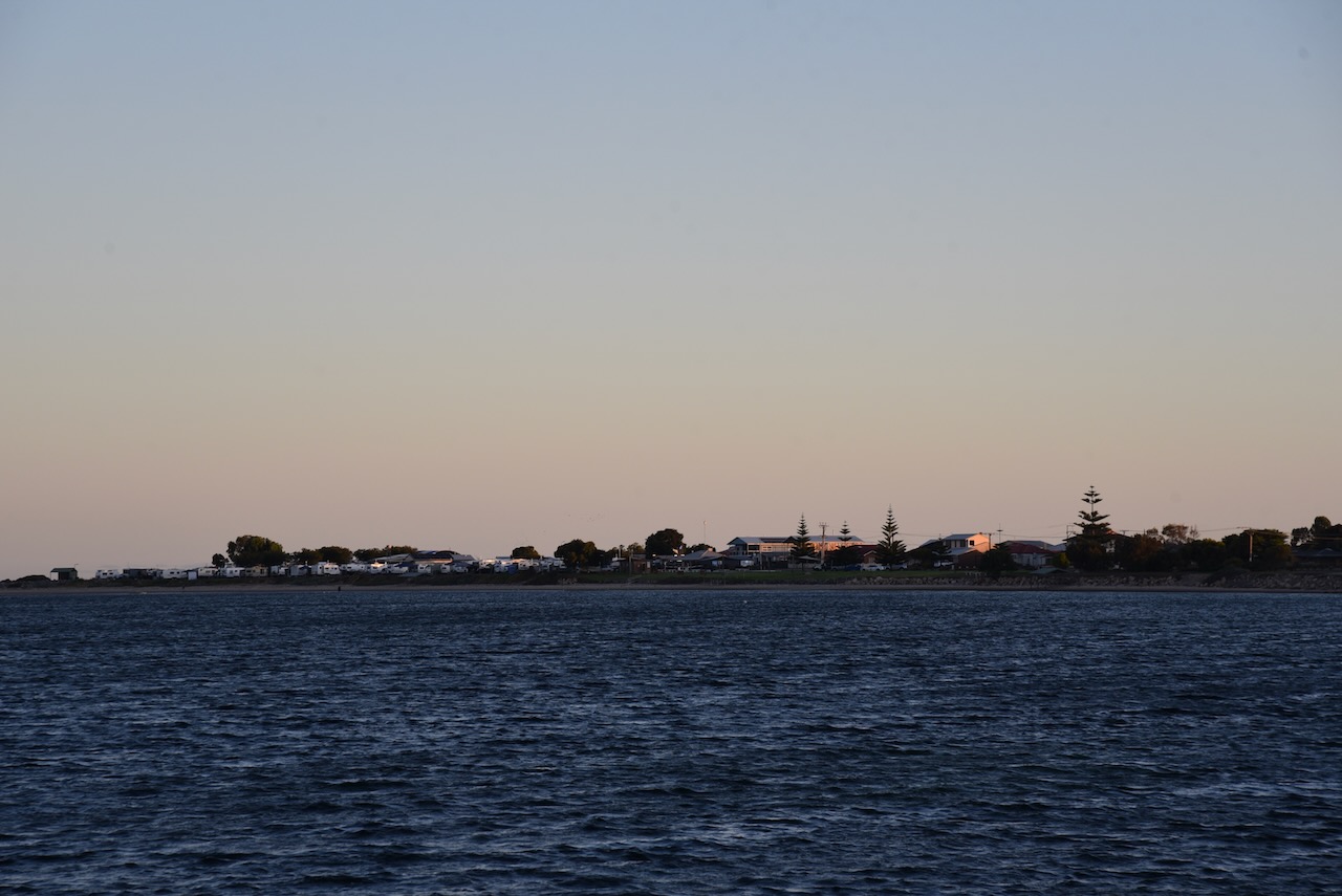
We continued on to Stansbury where we had booked into the Stansbury Caravan Park in a self-contained cabin. Below are some views of the cabin and the ocean which was directly behind our cabin.


After booking in and unpacking, Marija and I headed to the local hotel where we enjoyed a very nice meal.

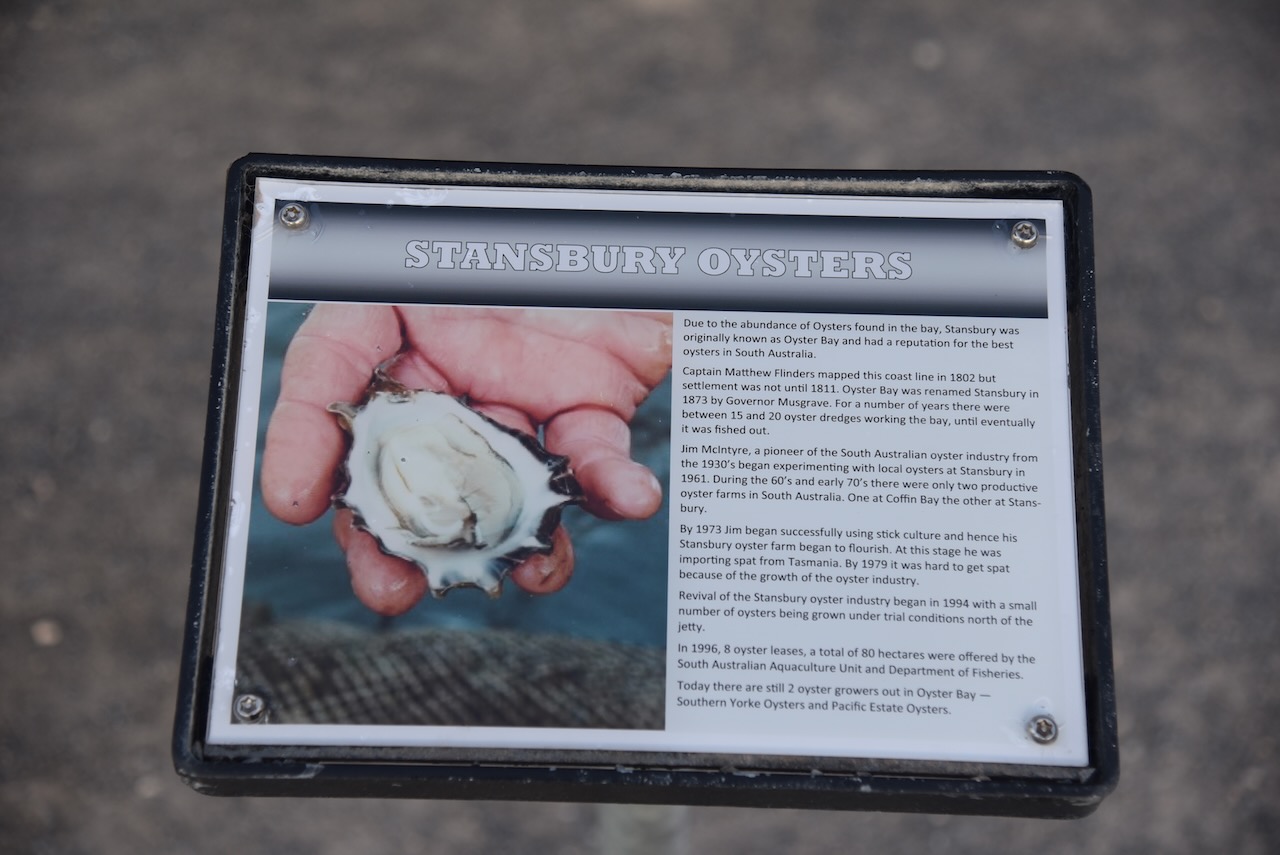
The area which is now known as Stansbury was originally known as Oyster Bay from around 1846. The town was proclaimed on the 31st day of July 1873 and was named Stansbury by South Australian Governor Anthony Musgrave (b. 1828. d. 1888) in honour of a friend. In October 1877 the foundation stone for the Stansbury Public School was laid.
Above:- Governor Anthony Musgrave. Image c/o Wikipedia.
Following dinner, we decided to have a look around Stansbury as it was such a beautiful warm evening.
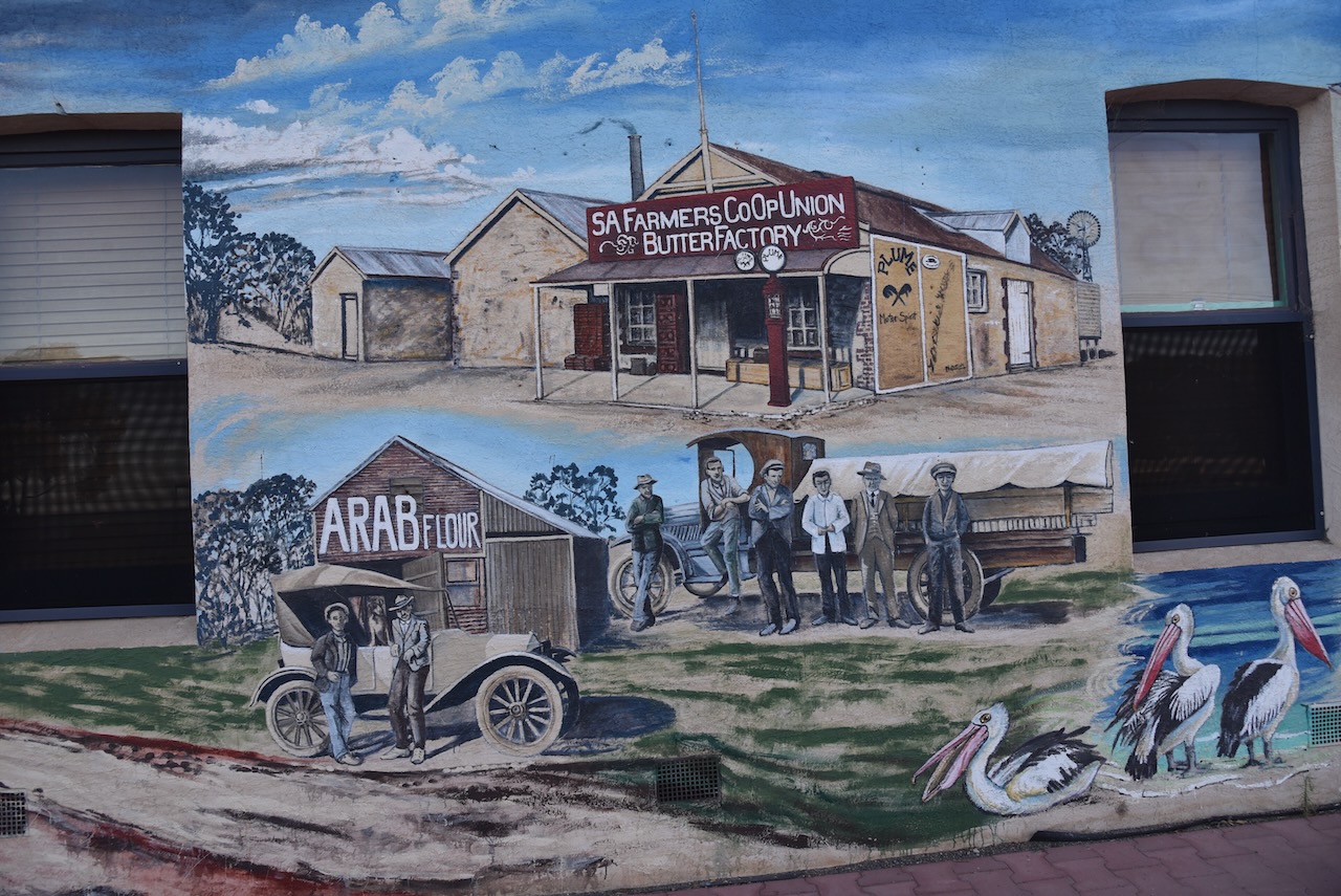
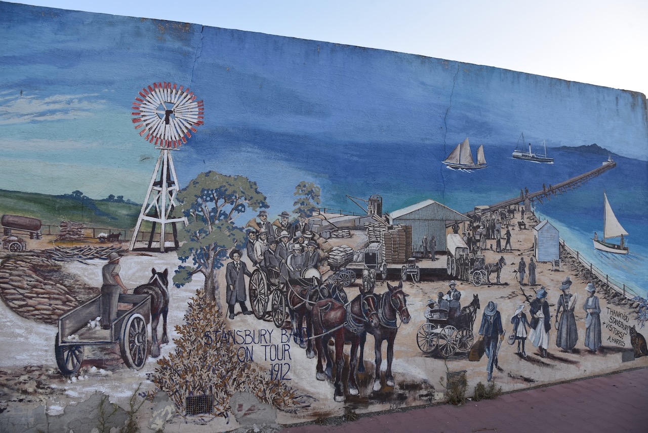
On the corner of St Vincent Street and Anzac Parade (the Blue Lime Cafe), there is a brilliant mural painted on the building. It is the work of local artist Anne Harris. It depicts the historical use of building and Stansbury life.


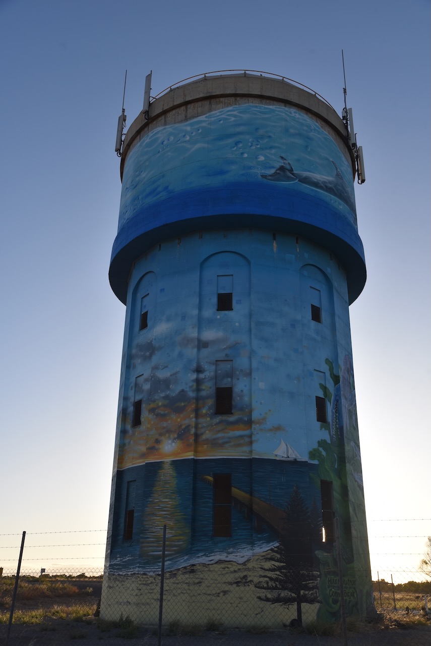
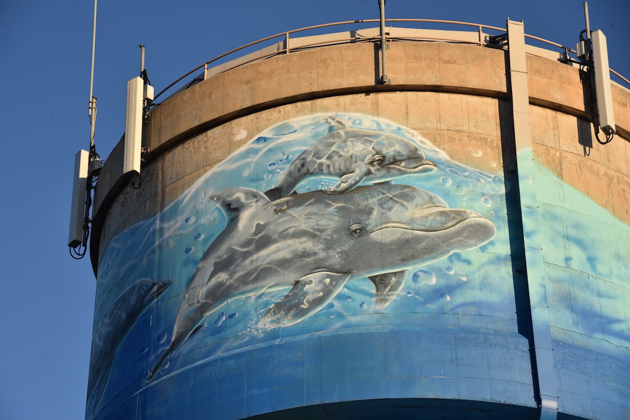
We then drove out to the Stansbury water tower mural. In 2020 the Yorke Peninsula Council in partnership with various Progress Associations gained funding that allowed the Southern Yorke Peninsula Water Tower/Tank Mural Trail. The Stansbury water tower was completed on the 29th day of May 2021. It was the work of Mike Makatron and Conrad Bizjak and took 13 days to complete. It consists of a mixture of spray guns and hand painting. It features notable fauna and the natural landscape of Stansbury, including Blue Swimmer crabs, Pelican, Dolphins, Norfolk Island Trees, jetty, coastline, and Ribbon Seaweed and Oysters.


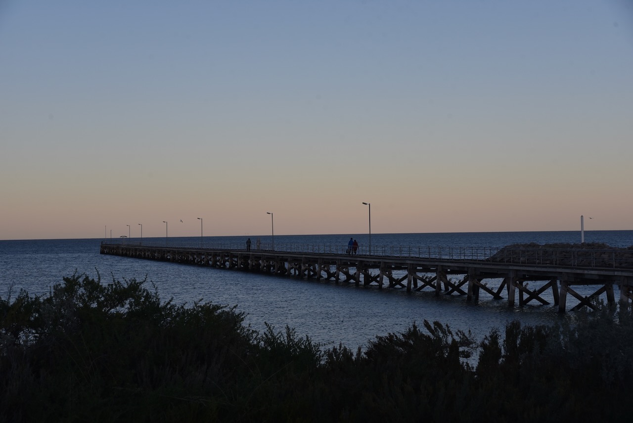
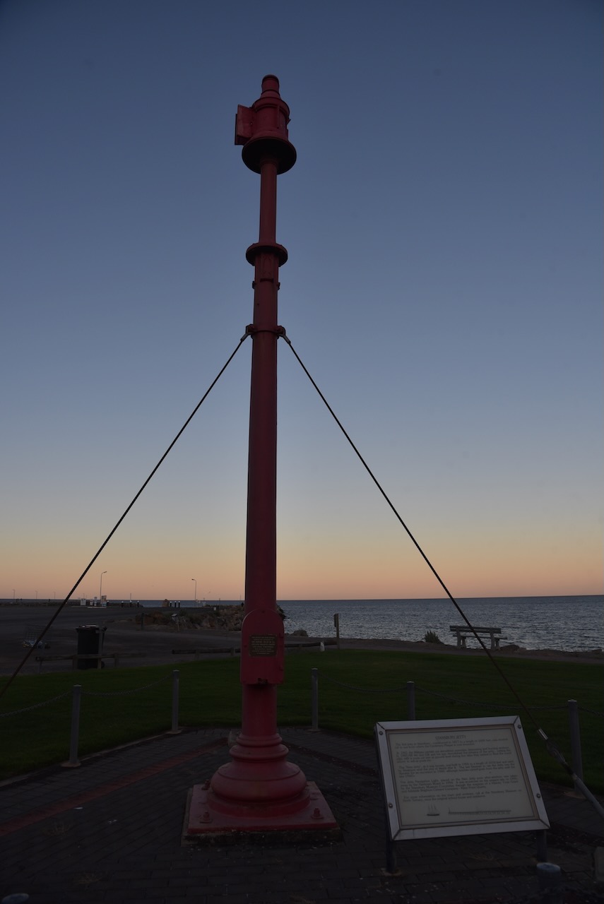
We then had a look at the Stansbury jetty and harbour.


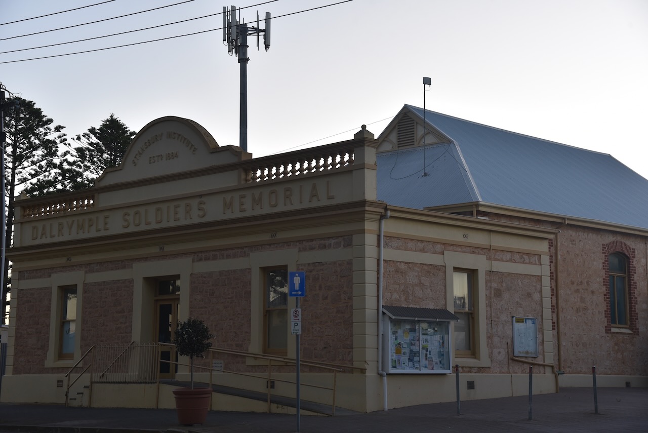
And on our way back to the caravan park we had a look at some of the historic buildings in Stansbury and the murals on the foreshore. In 2014 the Stansbury Progress Association commissioned Anne Harris, a local artist, to paint three murals on the foreshore changerooms.


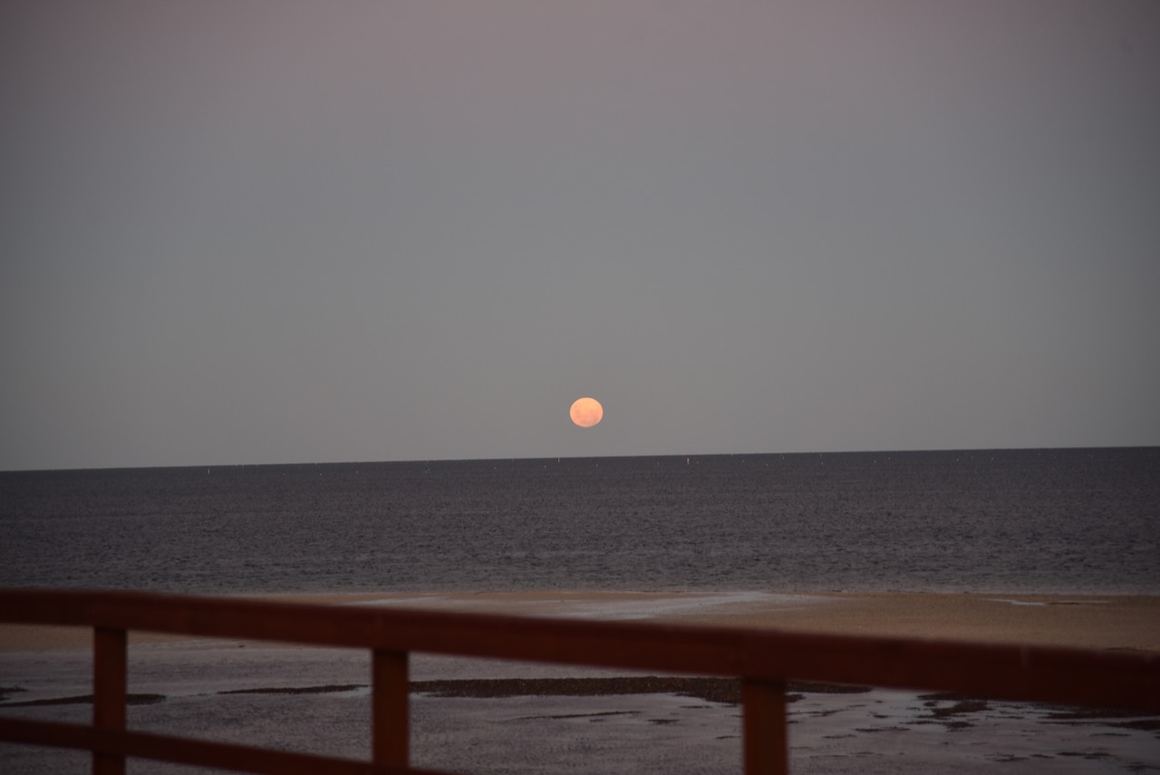
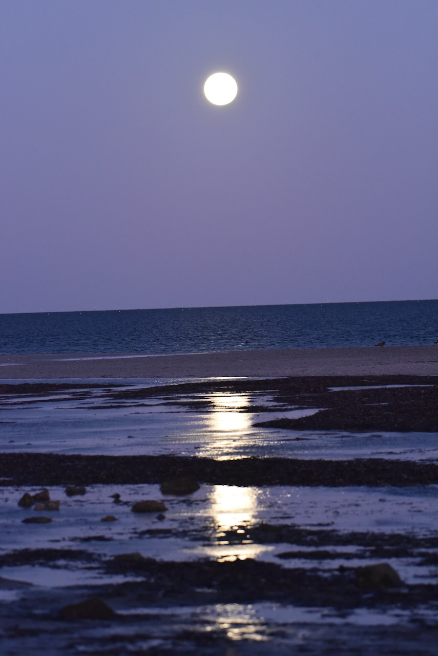
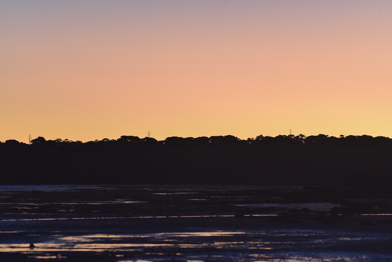
We returned to our cabin where we enjoyed a magnificent sunset and the moon glistening across the water.


References.
- Beautiful Stansbury, 2023, <https://stansburysa.com.au/>, viewed 22nd February 2023.
- Government of South Australia, 2012, Upper Gulf St Vincent Marine Park Management Plan.
- Monument Australia, 2023, <https://monumentaustralia.org.au/themes/culture/animals/display/115167-sperm-whale-memorial->, viewed 22nd February 2023.
- National Parks & Wildlife SA, 2023, <https://www.marineparks.sa.gov.au/find-a-park/yorke-peninsula/upper-gulf-st-vincent>, viewed 22nd February 2023.
- State Library SA, 2023, <https://www.samemory.sa.gov.au/site/page.cfm?u=1240>, viewed 22nd February 2023.
- Wikipedia, 2023, <https://en.wikipedia.org/wiki/Sperm_whale>, viewed 22nd February 2023
- Wikipedia, 2023, <https://en.wikipedia.org/wiki/Stansbury,_South_Australia>, viewed 22nd February 2023.
