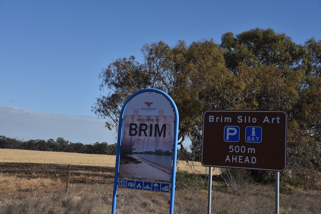
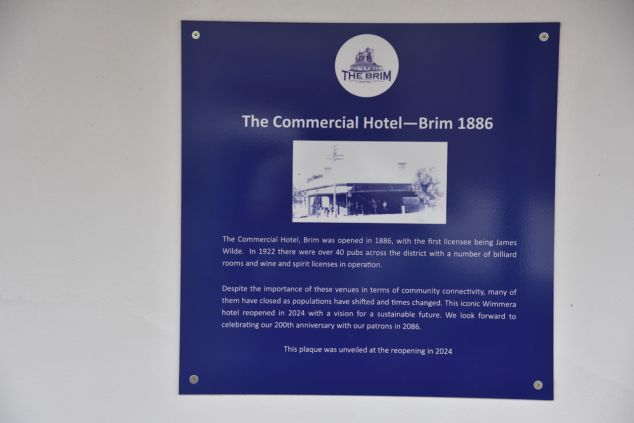
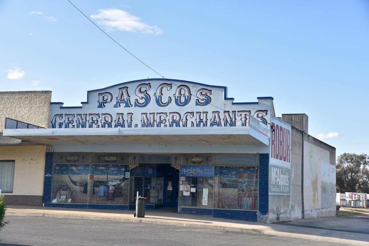
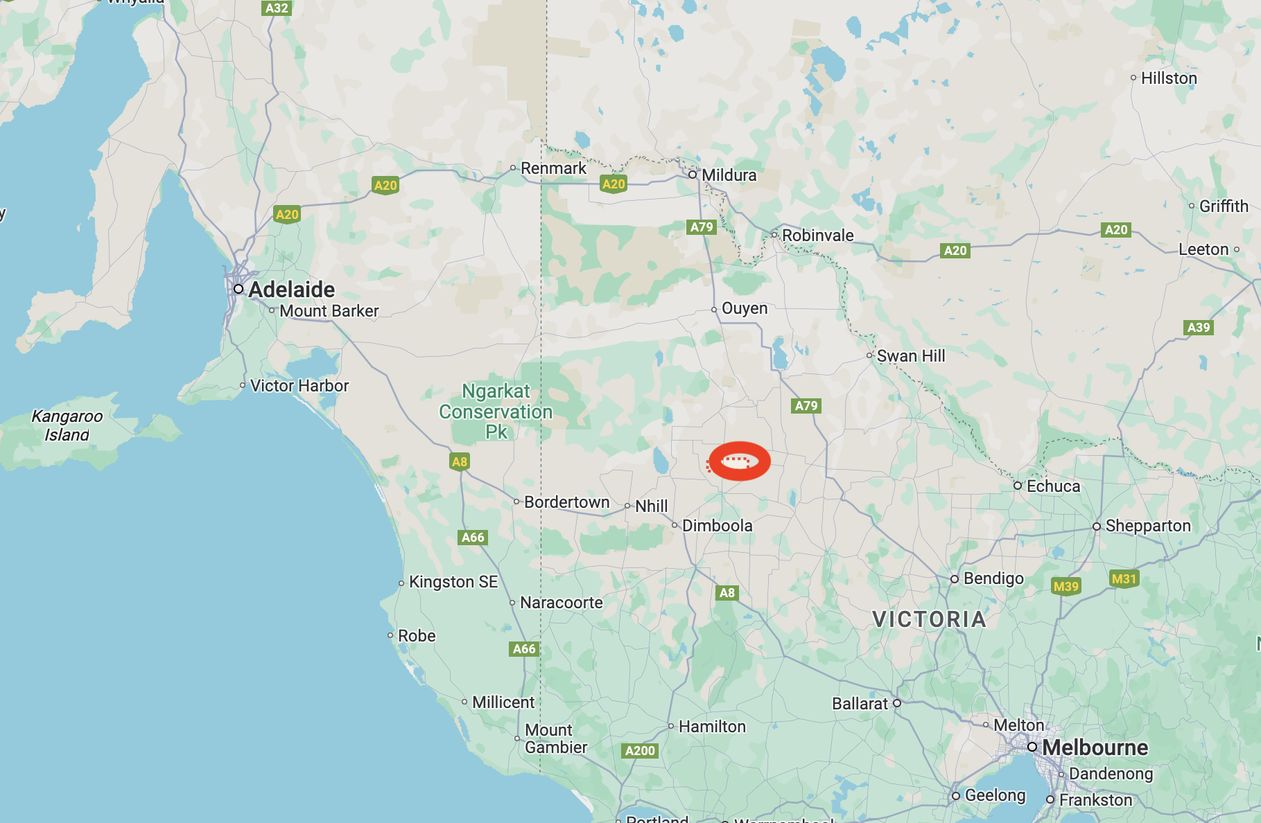
After leaving Brim (24th October 2024), Marija and I drove back into Warracknabeal, where we activated the Warracknabeal silo VK-WRL3 and the Warracknabeal North silo VK-WRT3.
Warracknabeal is about 338 km northwest of Melbourne.
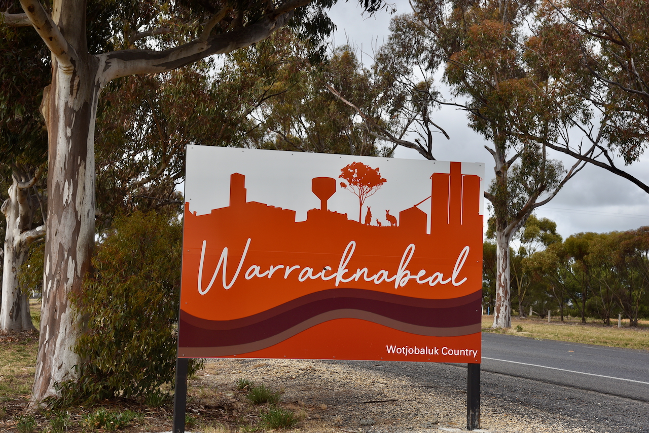
It is believed that Warracknabeal is derived from the Wotjobaluk aboriginal language to describe the impressive river redgums that line the banks of the Yarriambiack Creek. (Aussie Towns 2016)
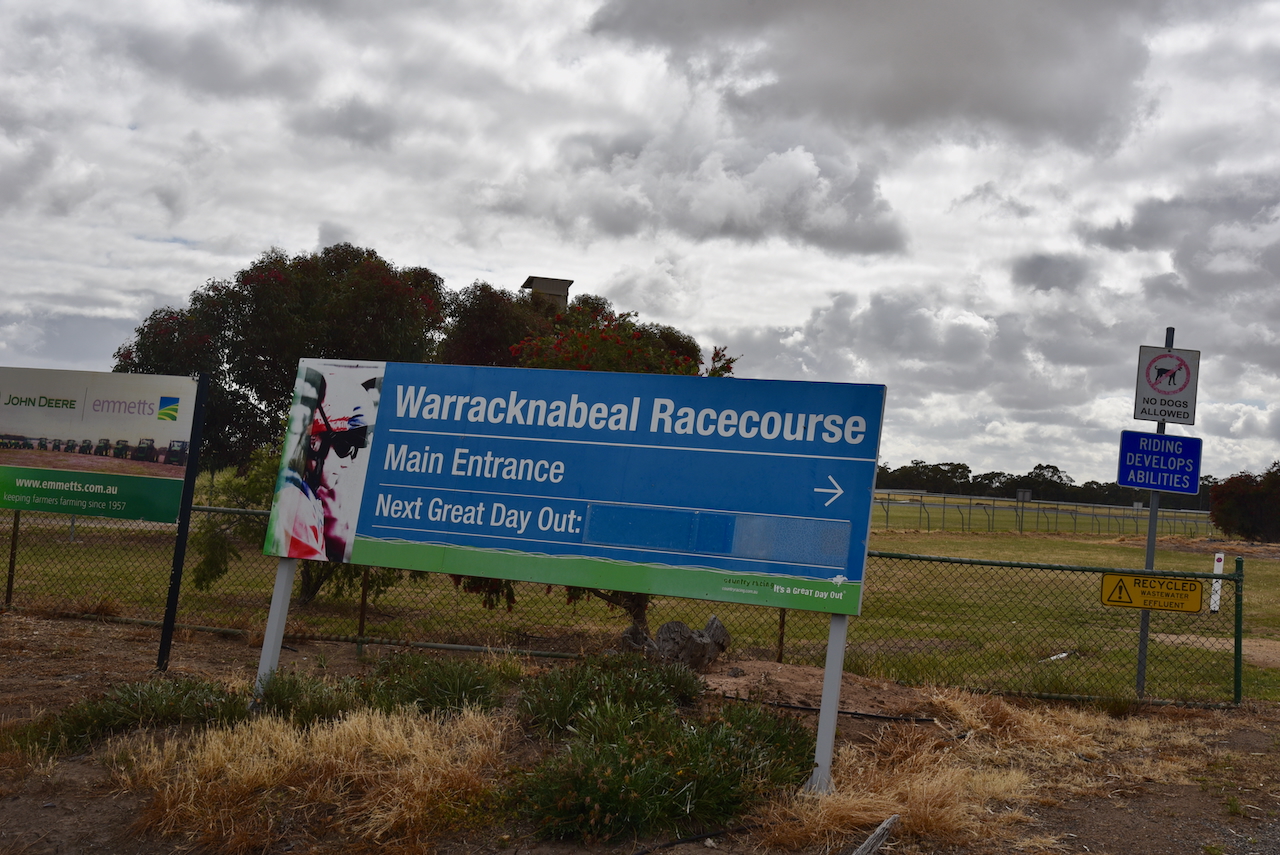
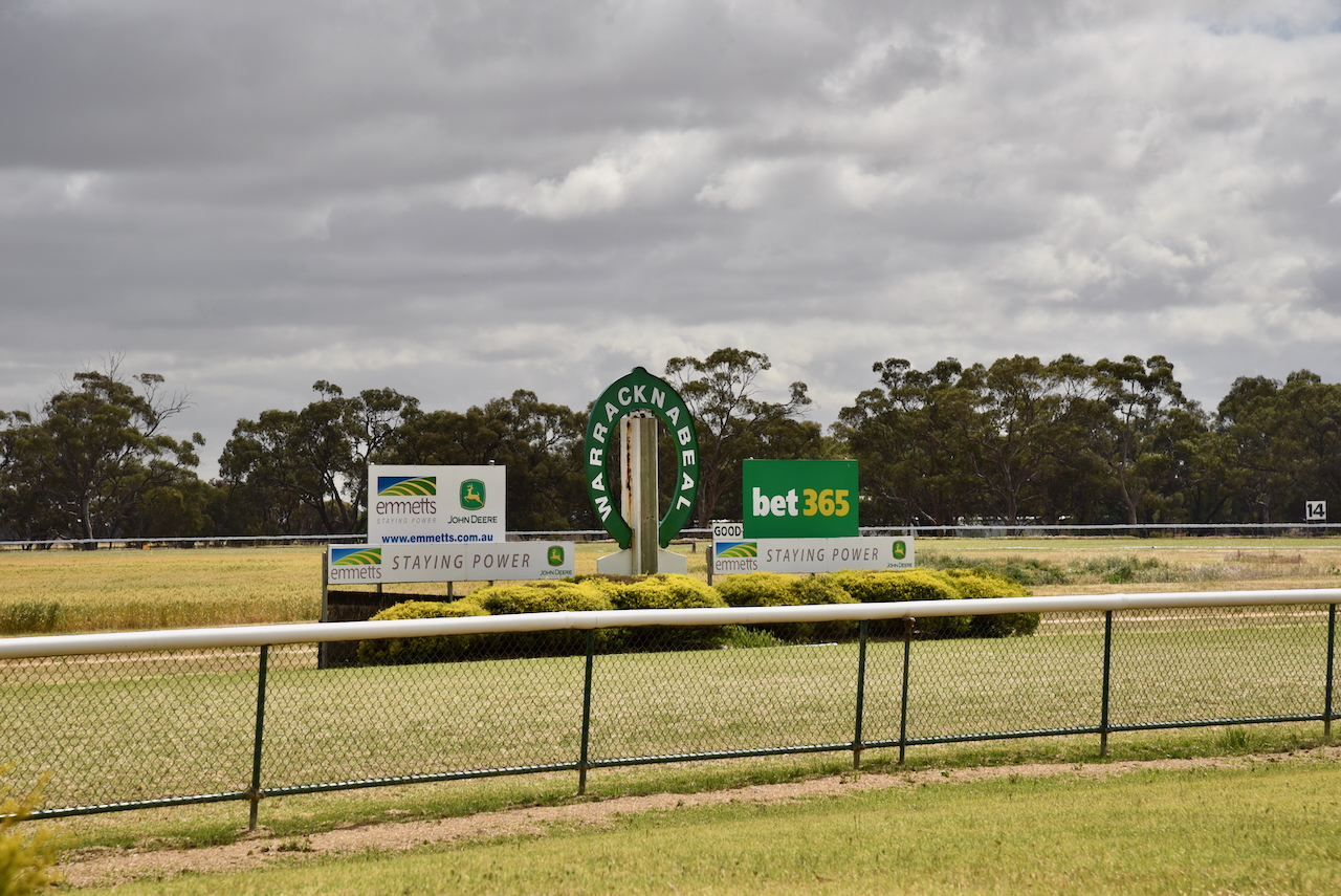
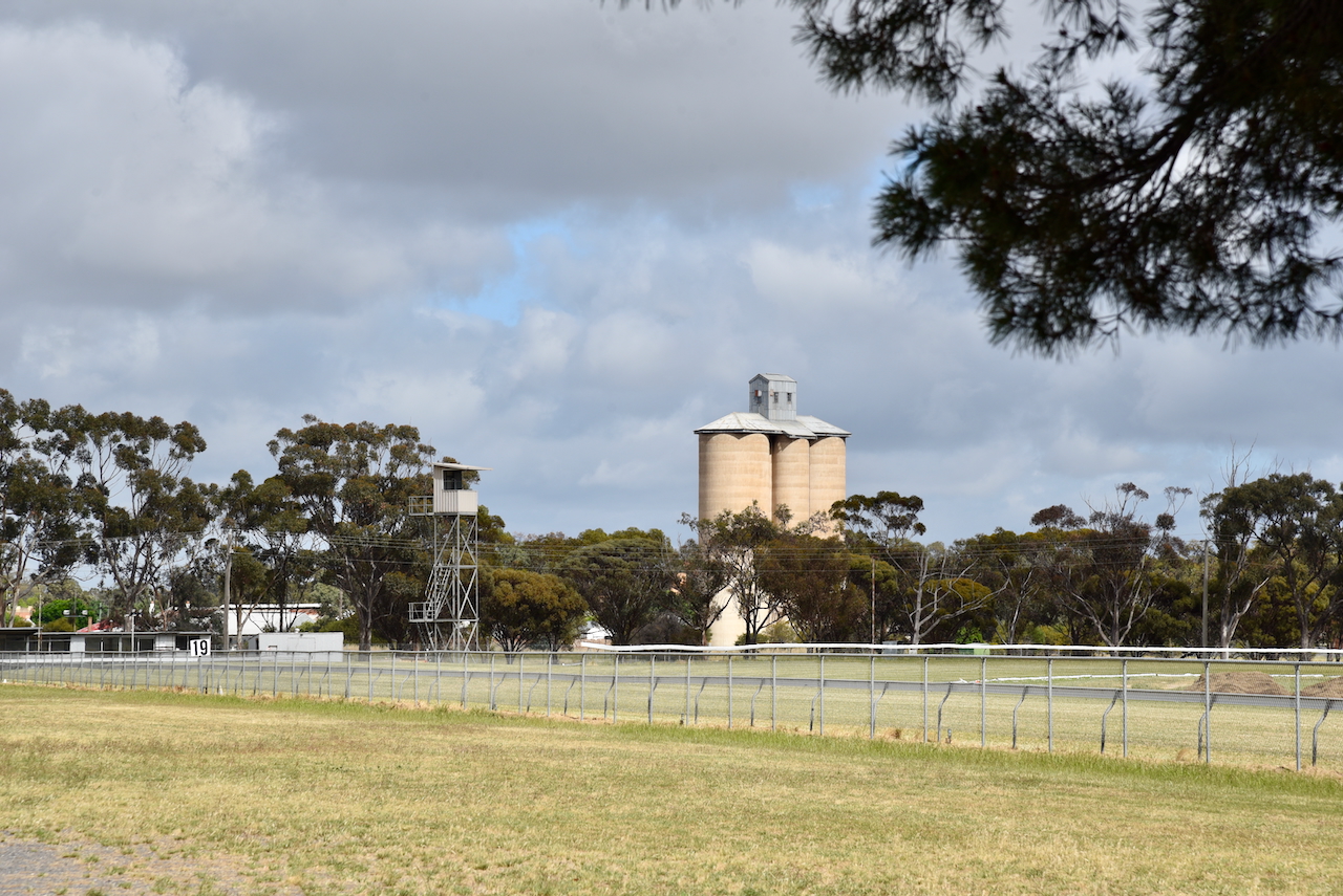
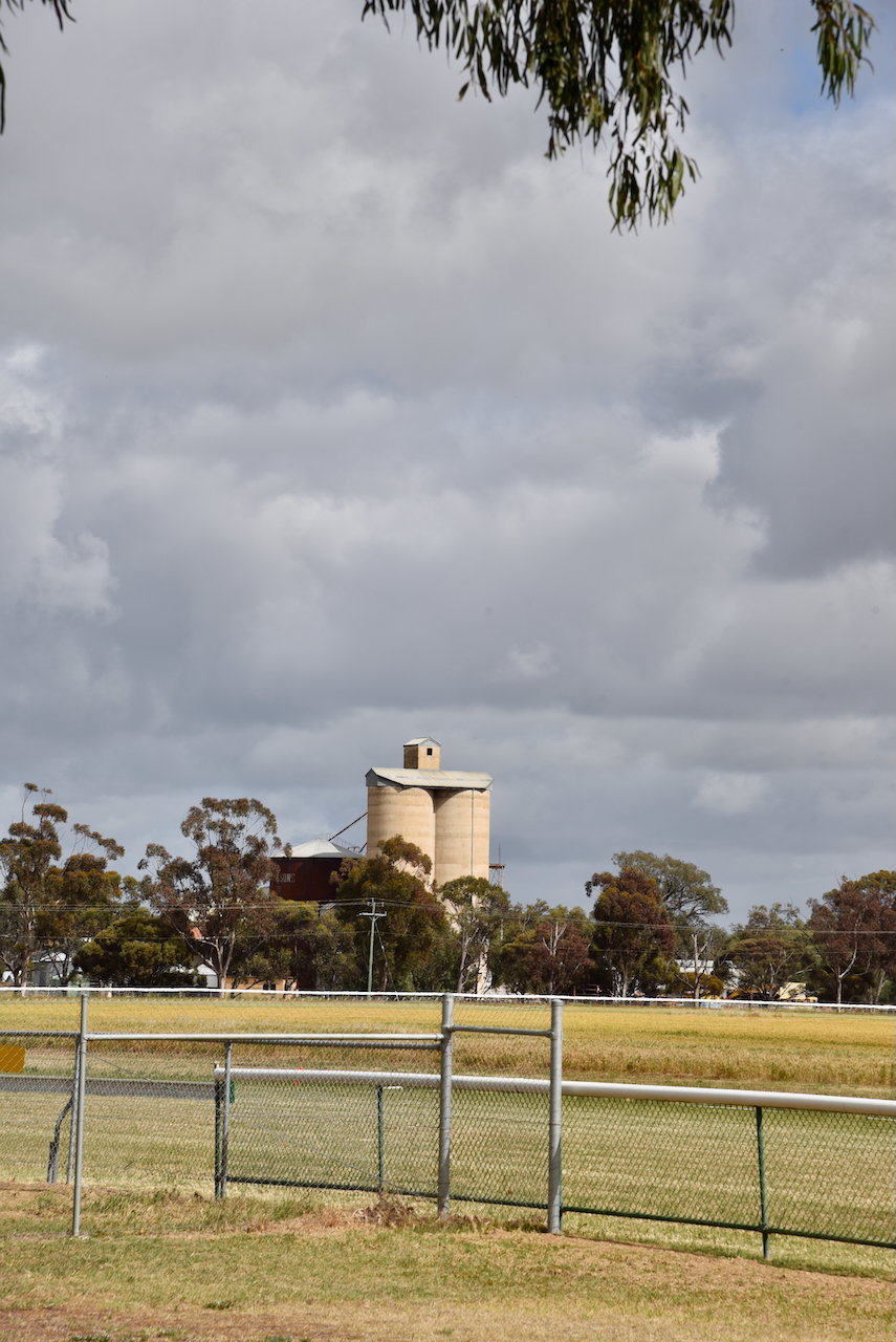
Before activating the silos, we visited the Warracknabeal racecourse. I have placed a few bets on horses running at this racecours over the years.
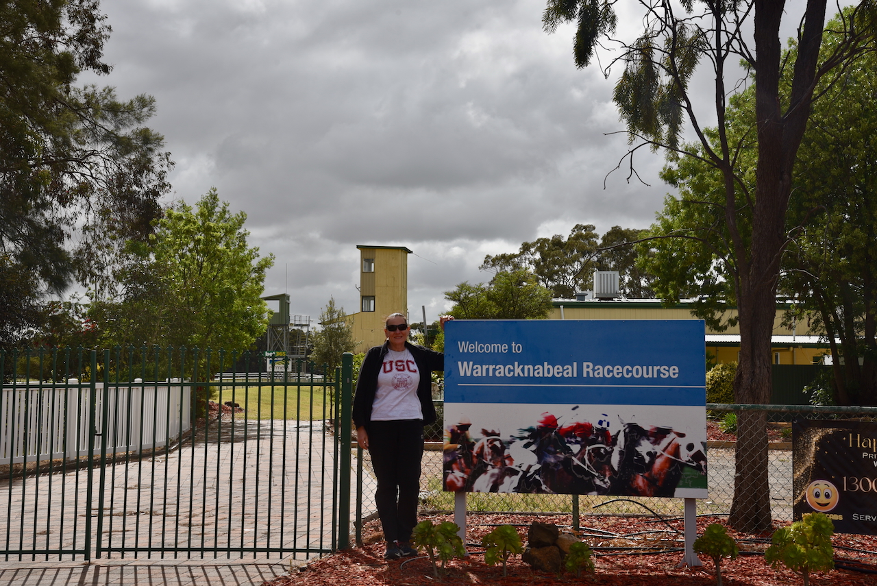
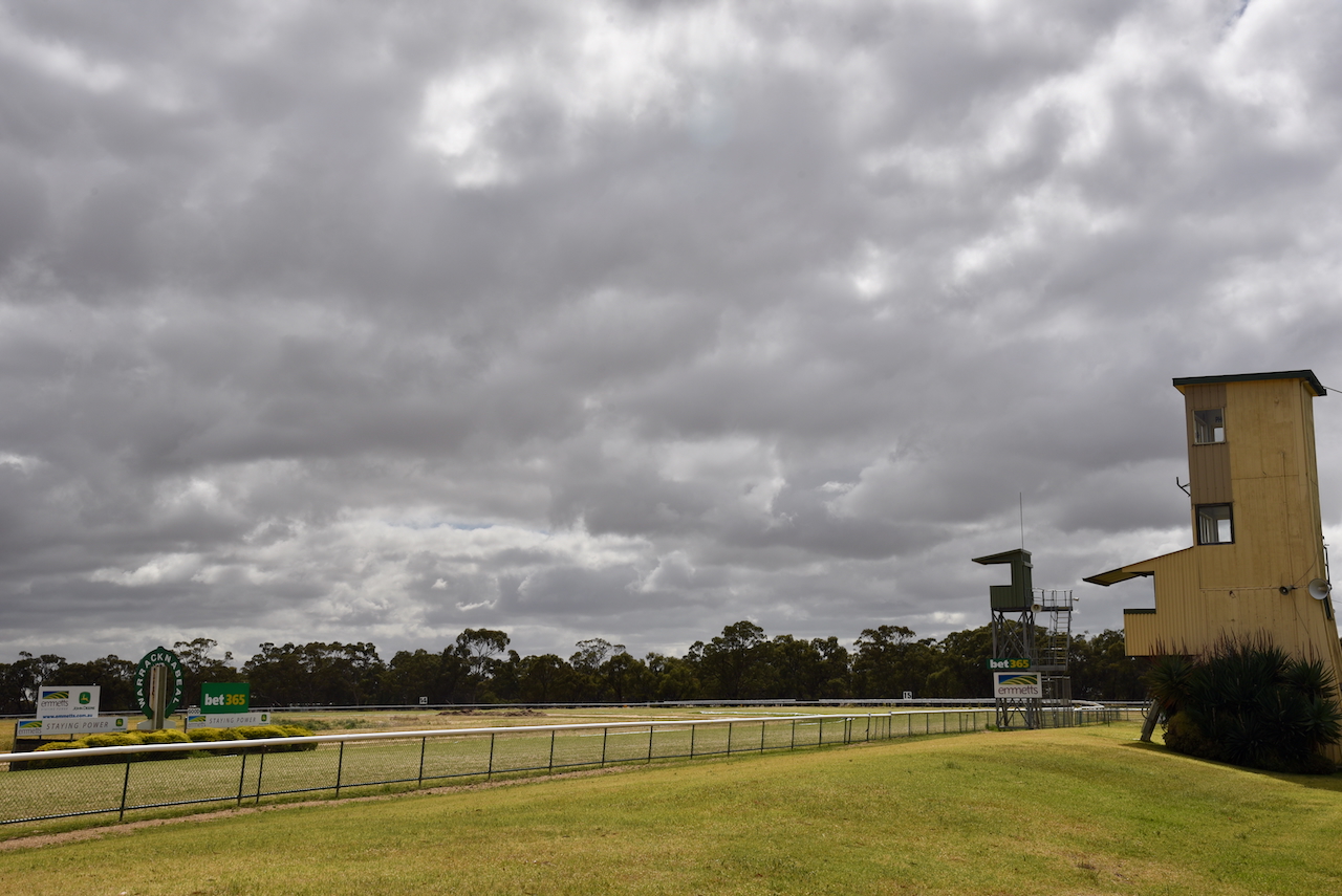
We could clearly see the concrete silos of VK/WRL3 from the racecourse.
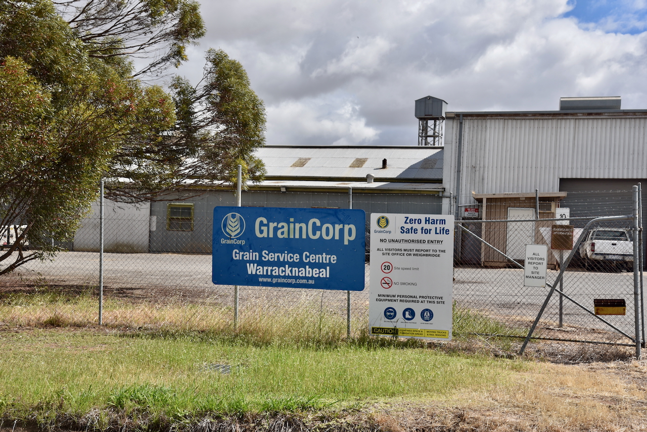
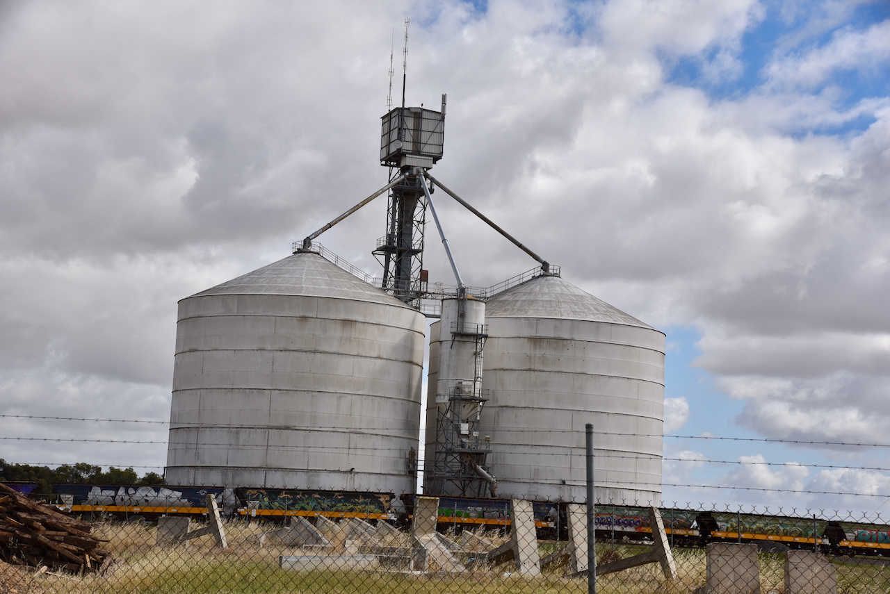
The Warracknabeal North silos VK-WRT3 are located on the western side of the Henty Highway, on the northern side of Warracknabeal. They are operated by GrainCorp.
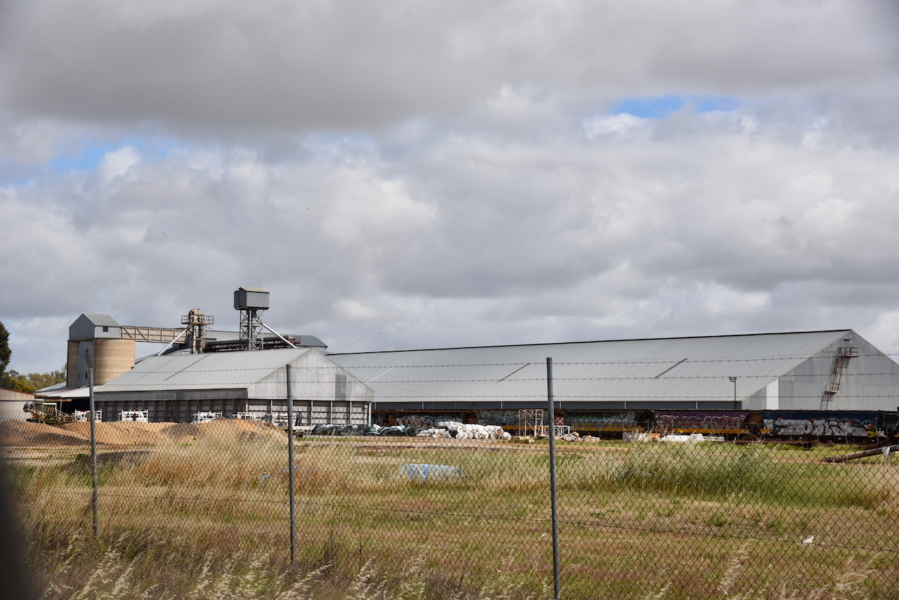
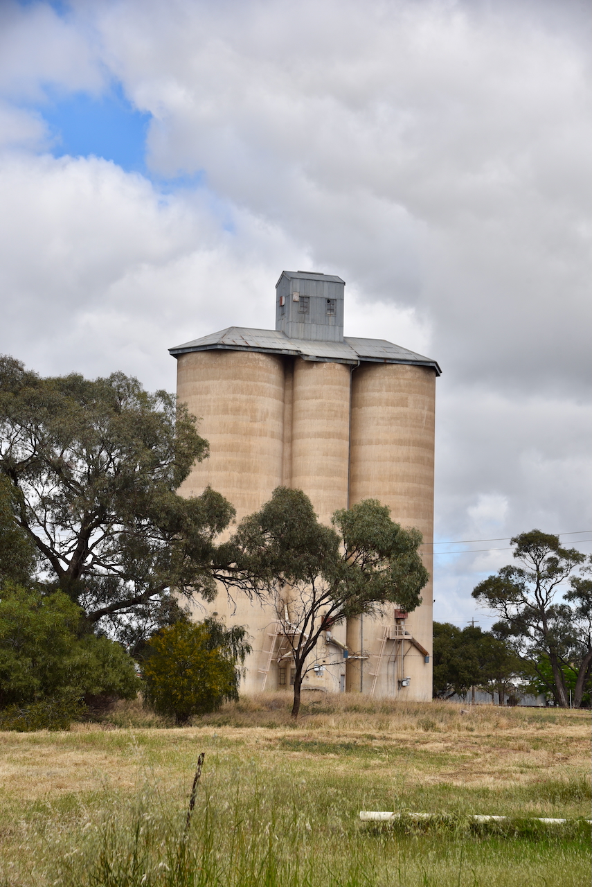
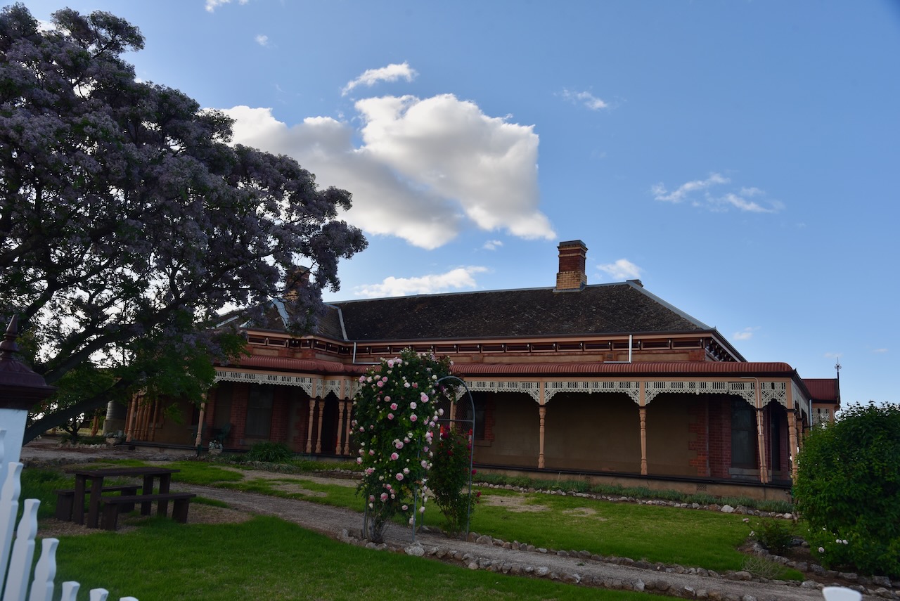
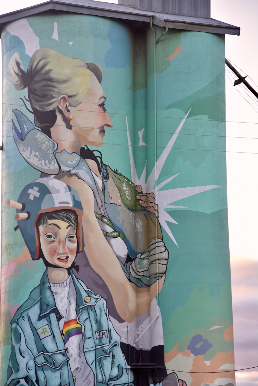
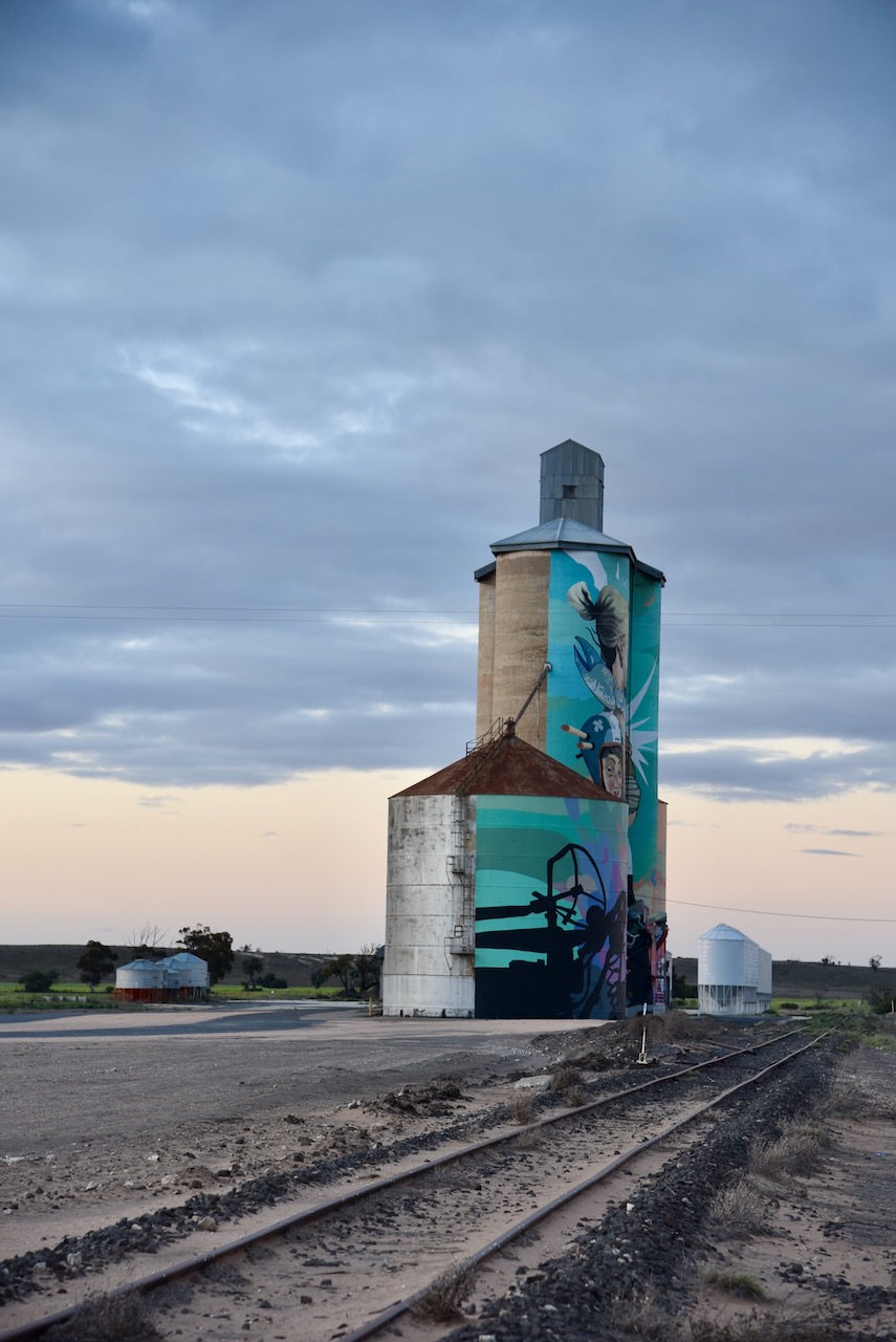
The Warracknabeal silos VK-WRL3 are located at the end of Duncan Street.
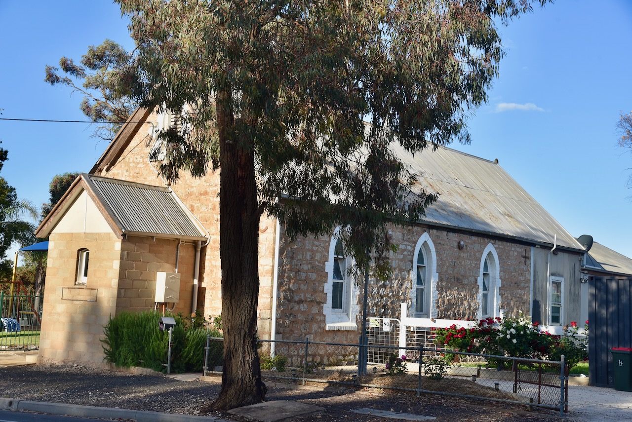
The silos are located at the site of the old flour mill which was owned by W.C. Thomas and operated until the mid 1960s. The mill prospered once the railway line from Murtoa and Minyip reached Warracknabeal. (Flickr 2025)
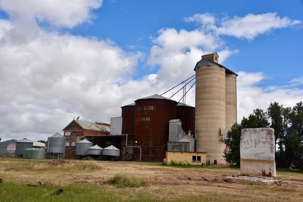
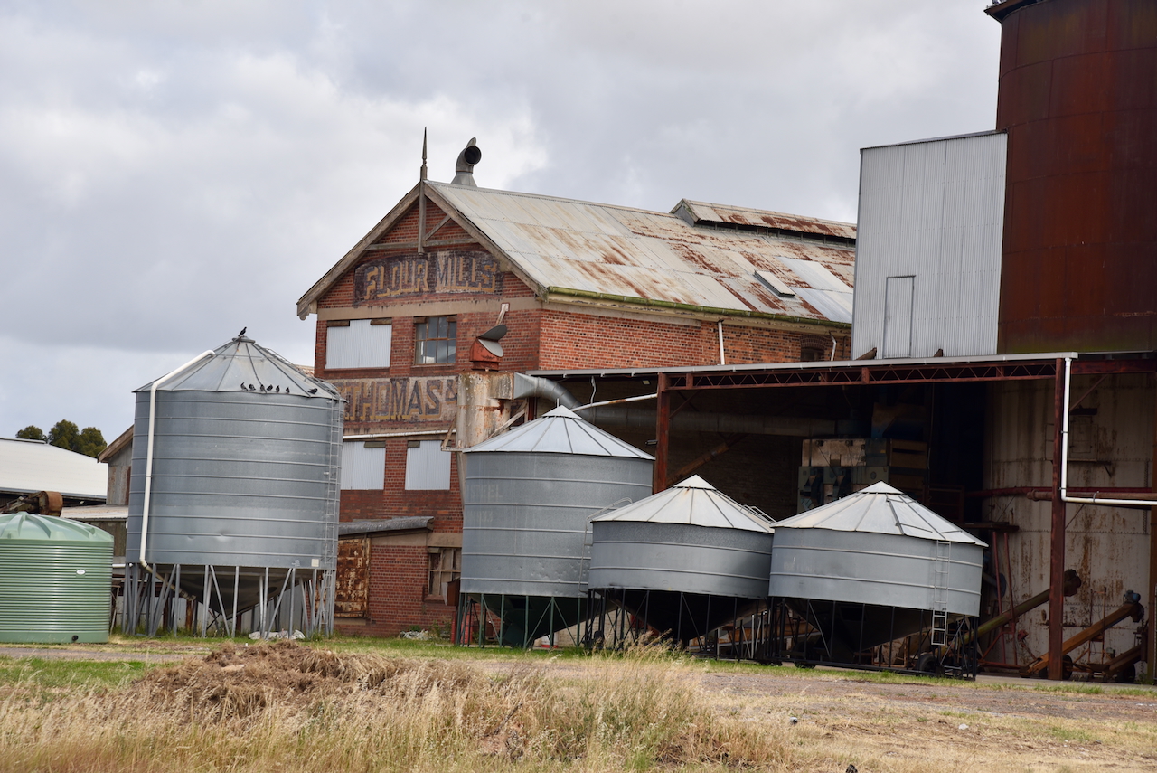
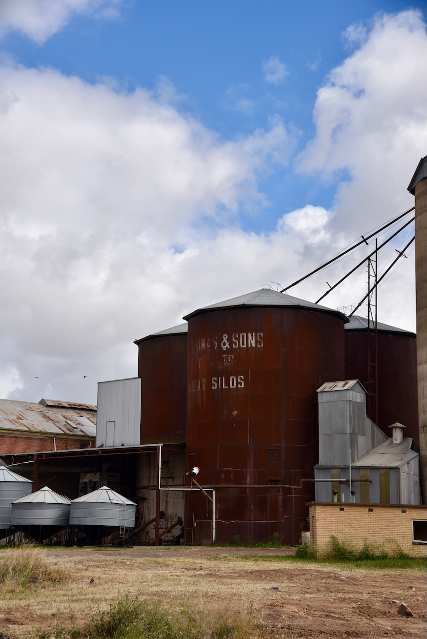
W.C. Thomas ran several flour mills throughout Victoria. This included the Warracknabeal mill which operated from 1884 to 1964. (Victorian Collections 2018)
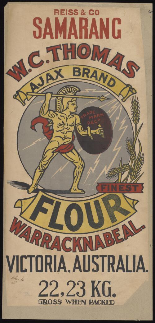
Above:- W.C. Thomas & Sons advertisement. Image c/o National Library of Australia.
We parked on Borung Highway in the activation zone of the two silos, and operated from the 4WD. We ran the Icom IC-7000, 100 watts, and the Codan 9350 antenna with the 1.5 metre stainless steel whip.
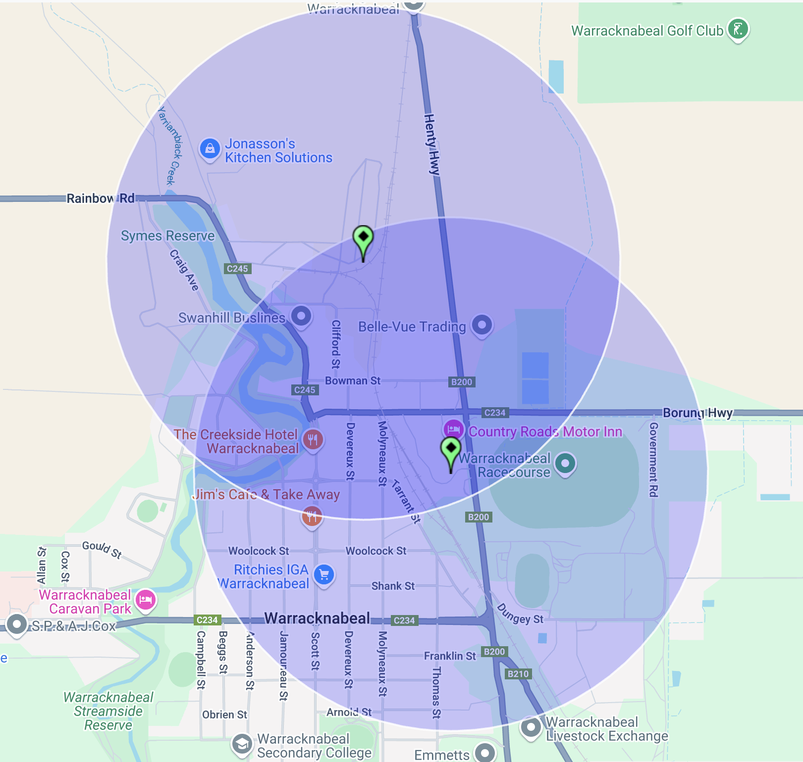
Above:- the activation zone at the two silos in Warracknabeal. Image c/o SiOTA website.
Marija logged the following stations on 40m SSB:-
- VK3WSG
- VK3PF
- VK5FB
- VK2IO/P (VKFF-2186)
- VK3APJ
- VK5TN
- VK2VAR
- VK2GOM
I logged the following stations on 40m SSB:-
- VK3WSG
- VK3PF
- VK5FB
- VK2IO/P (VKFF-2186)
- VK3APJ
- VK5TN
- VK2VAR
- VK2GOM
- VK2KA
- VK3ZSC
- VK3BAP
I worked the following stations on 20m SSB:-
- VK2LEE
- ZL2AJ
- VK1AO
- VK2NET
- VK4EHI
- VK4EMP
- VK4TI
- VK4GKO
References.
- Aussie Towns. (2016). Warracknabeal, VIC – Aussie Towns. [online] Available at: https://www.aussietowns.com.au/town/warracknabeal [Accessed 16 Mar. 2025].
- Flickr. (2025). Warracknabeal. Flourmill of W C Thomas. This flour mill operated till the mid 1960s. [online] Available at: https://www.flickr.com/photos/82134796@N03/49544569406 [Accessed 16 Mar. 2025].
- Victorian Collections. (2018). Textile – Flour bag – W.C.Thomas, Warracknabeal. [online] Available at: https://victoriancollections.net.au/items/6747afcb64783dd9b2988f6e [Accessed 16 Mar. 2025].