
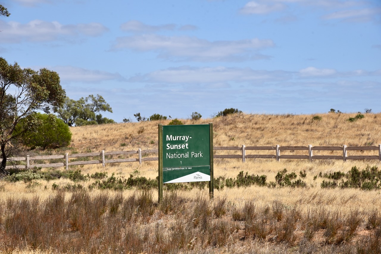
Our next park on Saturday, the 8th day of November 2025, for the Keith Roget Memorial National Parks Award (KRMNPA), was the Murray Sunset National Park VKFF-0373. This was to be our final park activation for our time away.
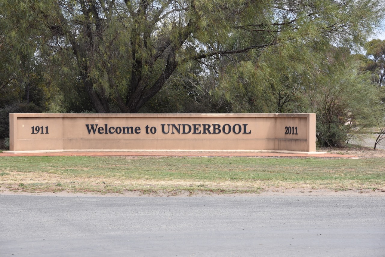
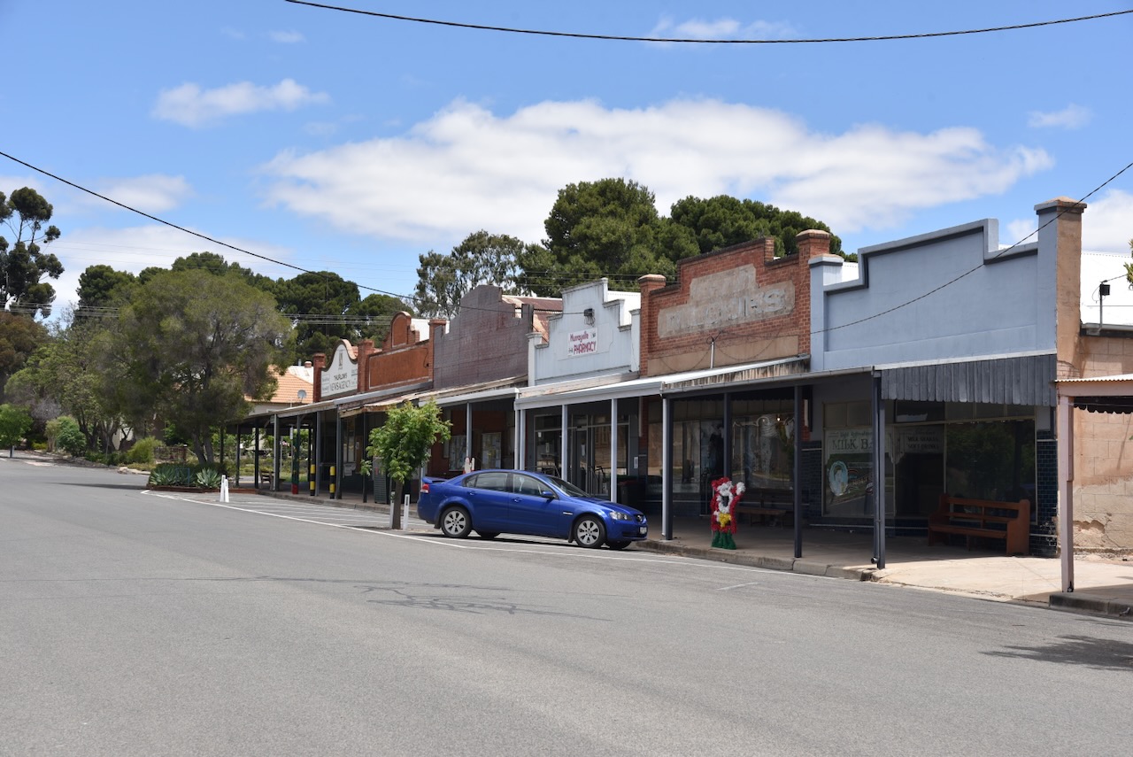
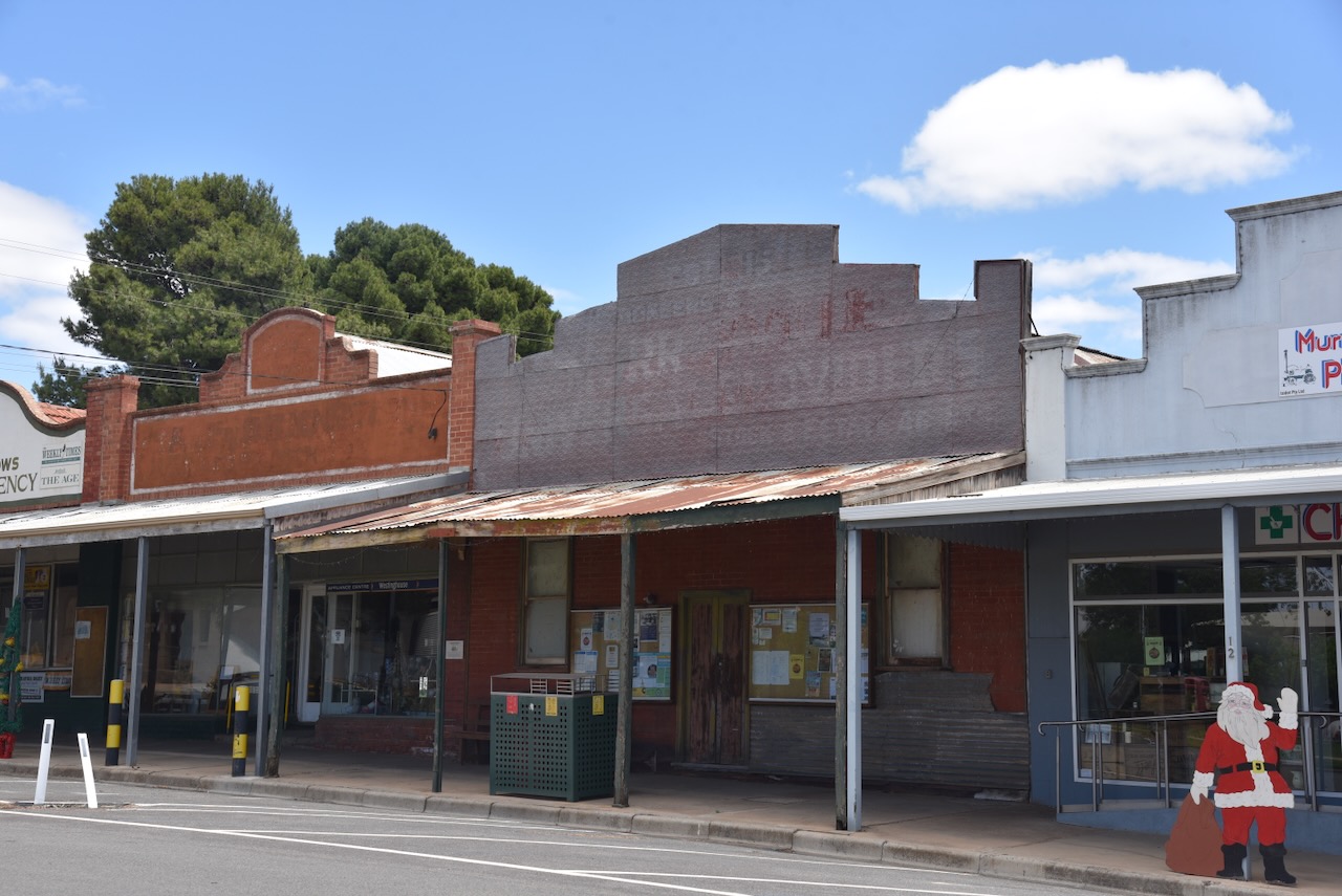
Prior to activating the park, we had some lunch in Underbool, a small town on the Ouyen Highway, about 50 km west of Ouyen.
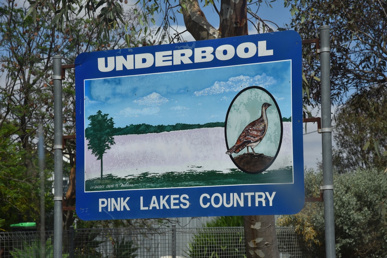
It is believed that the town’s name is derived from the German word underbolt, which was the name given by surveyor Dr. Georg von Neumayer when he camped in the area in October 1861. (Wikipedia 2025)
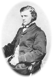
Above: Georg von Neumayer. Image c/o Wikipedia
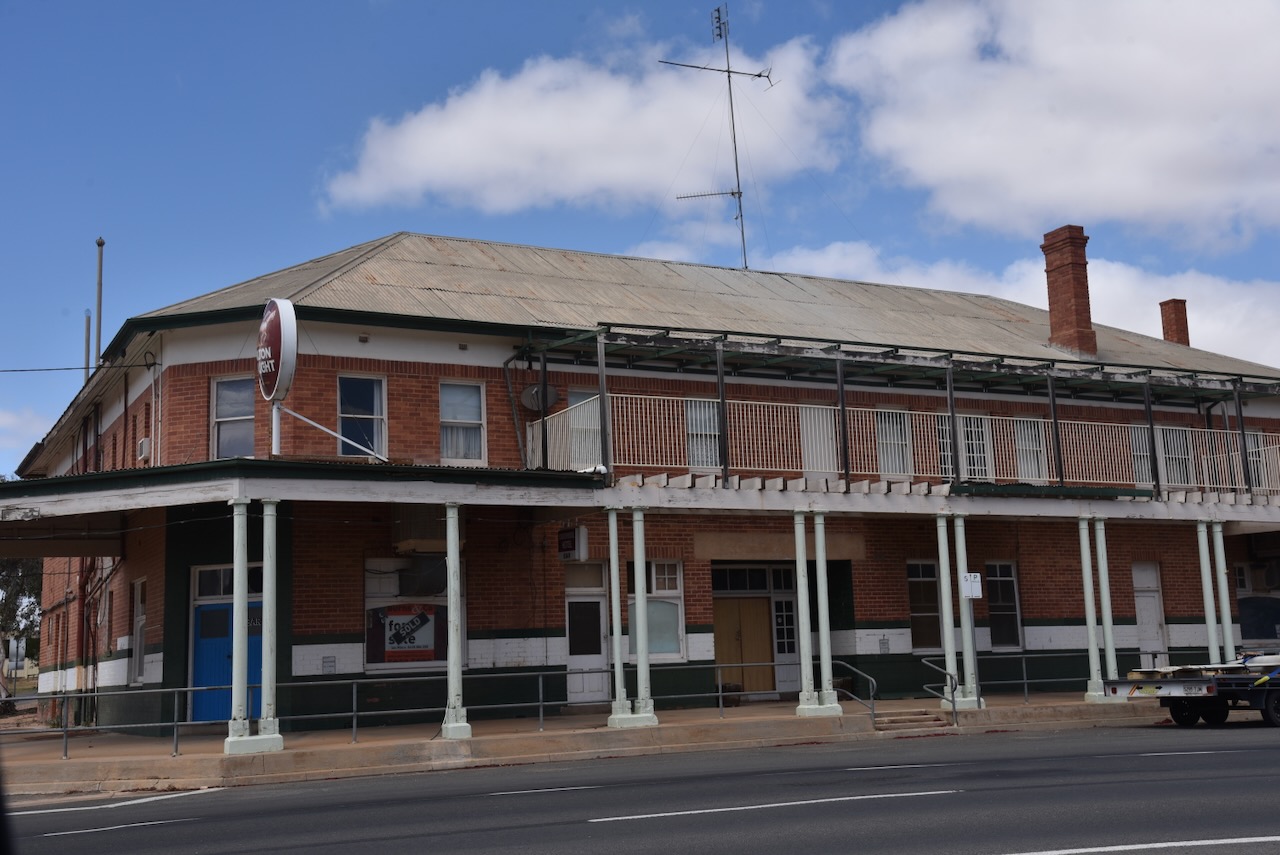
Following the opening in 1903 of the Mildura railway running via Ouyen, the belief was formed that the country west of Ouyen appeared to be suitable for dry farming. Test bores were sunk, and these confirmed the availability of water. In 1912, the railway line west of Ouyen was opened to Underbool, Murrayville, and Pinnaroo. On the 15th day of July 1912, the Post Office opened. In 1913, the Underbool Primary School No. 3819 was opened, and a public hall was constructed. In 1917, a bush nursing centre was opened. By 1918, Underbool contained several stores and businesses, but it would not be until 1925 that a hotel was built. In 1921, Underbool’s population was 380 people. A Methodist church was also built in 1925. (Victorianplaces.com.au, 2026)
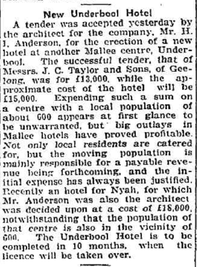
Above: article from the Geelong Advertiser, Wed 16 Jul 1924. Image c/o Trove
The Underbool Football Club was established in 1913. During the 1920s, tennis, gold and cricket clubs were formed in Underbool. In the 1930s, basketball and bowling clubs were formed. (Victorianplaces.com.au, 2026)
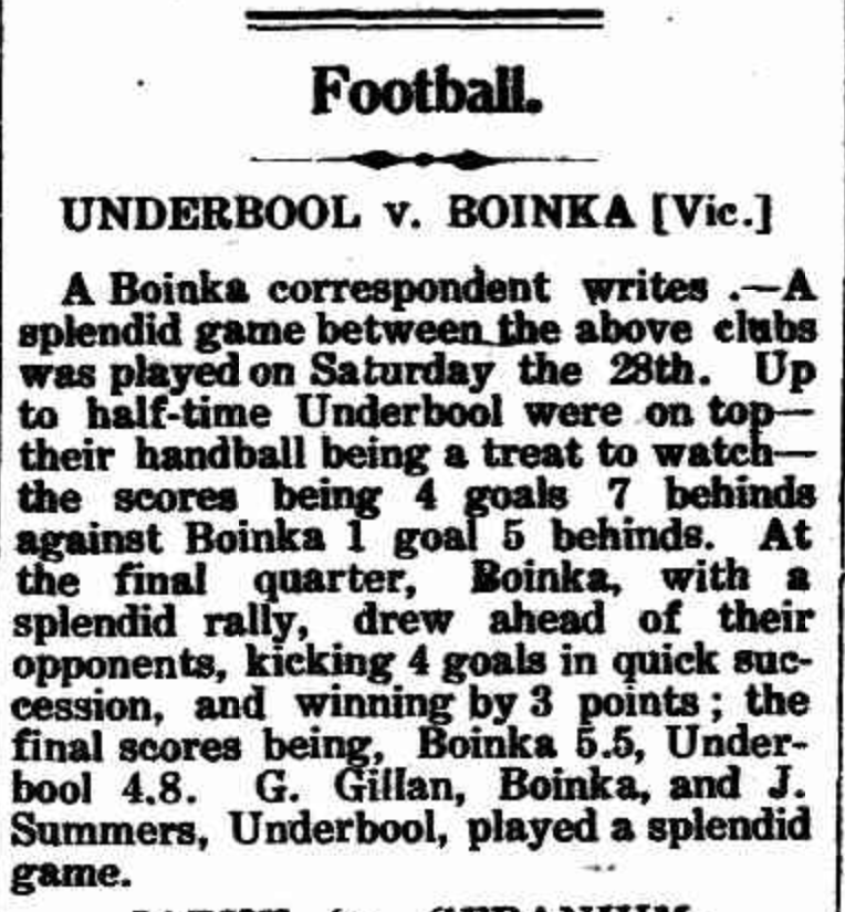
Above: article from the Pinnaroo and Border Times, Fri 4 Jul 1913. Image c/o Trove
We then drove west on the Mallee Highway and then north along Pink Lakes Road until we reached the park.
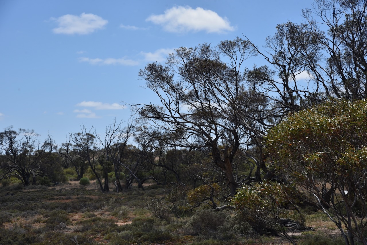
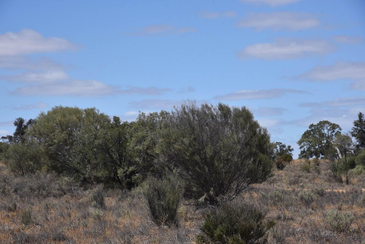
As is the case with Wyperfeld National Park, Marija and I have visited Murray Sunset many times and have activated it several times for the WWFF program and the KRMNPA.
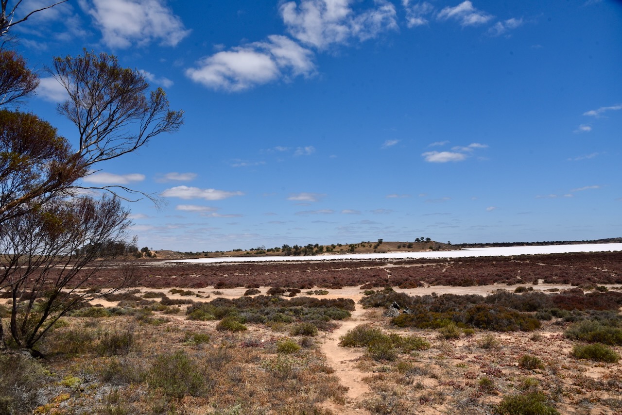
Murray Sunset National Park is 633,000 hectares (1,560,000 acres) in size and was established in 1991. It was expanded in 1999 to include Pink Lakes State Park. (Wikipedia 2021)
The majority of Murray Sunset National Park lives within the Murray-Sunset, Hattah and Annuello Important Bird Area (IBA). The IBA was identified by BirdLife International due to its mallee habitat supporting several threatened mallee species birds, including the malleefowl, black-eared miner and mallee emu-wren. (Wikipedia 2021)
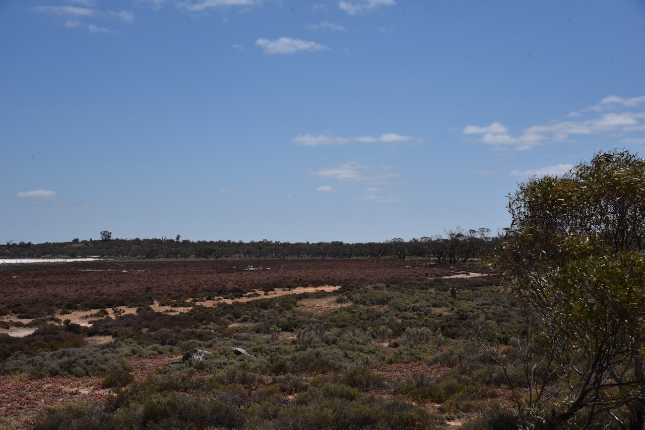
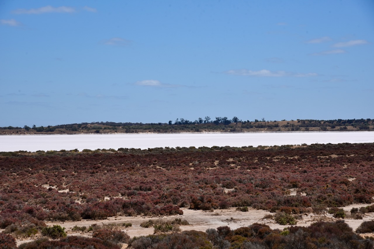
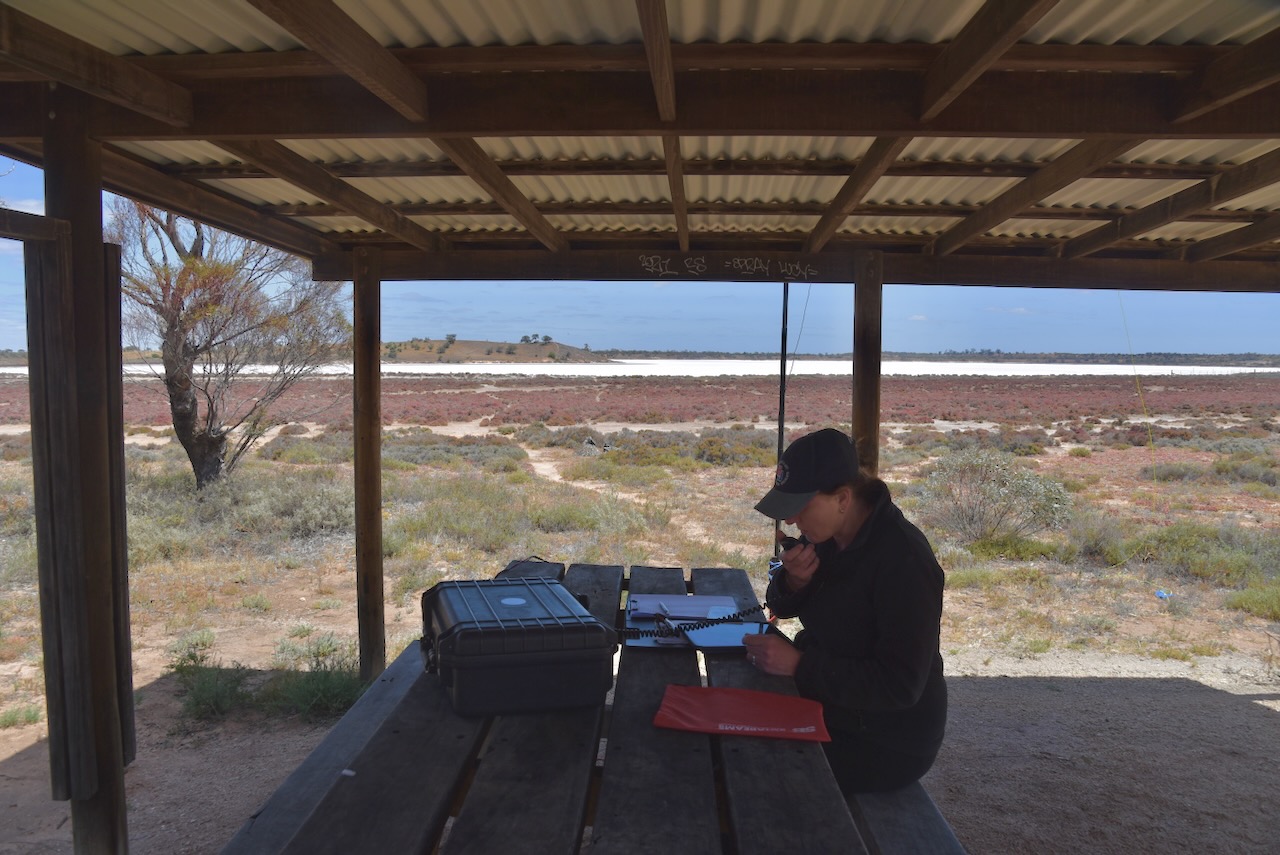
Marija and I set up in a shelter shed on the edge of Lake Crosby. We ran the Yaesu FT857, 40 watts, and the 20/40/80m linked dipole.
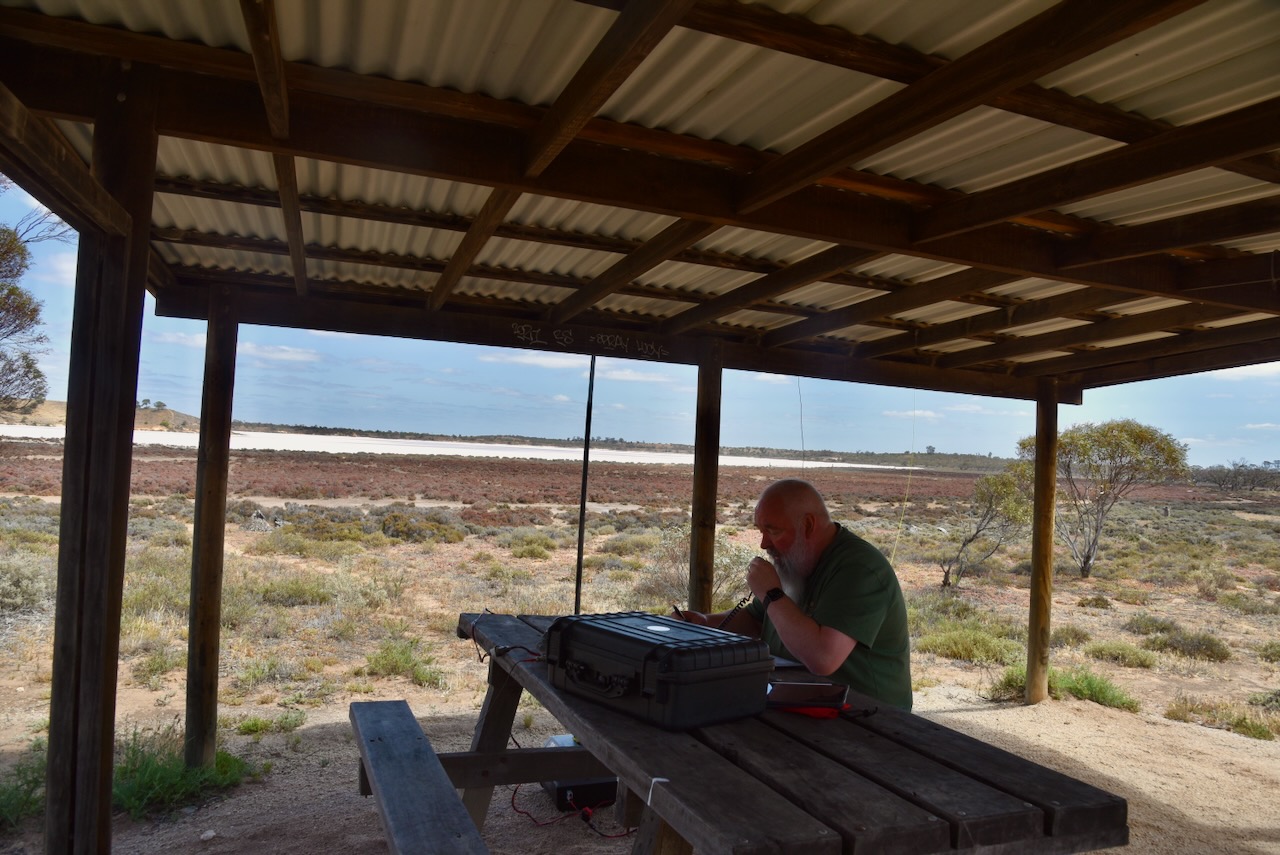
Marija worked the following stations on 40m SSB:-
- VK3APJ
- VK2HAK
- VK2MAB
- VK3GJG
- VK3PF
- VK3KAI
- VK5WU
- VK3DAC
- VK2VW
- VK2HFI
- VK2AKA
- VK2BUG
- VK5HS/P (VKFF-0831)
- VK3ZPF/P (VKFF-0420)
- VK3JW/P (VKFF-0420)
- VK3PJF/P (VKFF-0420)
Marija worked the following stations on 20m SSB:-
- VK4SMA
- VK2NP
- VK4EW
- VK4JG
I worked the following stations on 40m SSB:-
- VK3APJ
- VK2HAK
- VK2MAB
- VK3GJG
- VK3PF
- VK3KAI
- VK5WU
- VK3DAC
- VK2VW
- VK2HFI
- VK2AKA
- VK2BUG
- VK3FS/M
- VK3ATT/M
- VK1AD
- VK1NAM
- VK3UZI
- VK3CEO
- VK5AAF
- VK1DI
- VK2USH
- VK5HS/P (VKFF-0831)
- VK5FANA
- VK2VH
- VK4AAC
- VK3UH
- VK3USA
- VK3AKO
- VK3CLD
- VK2DBF
- VK5QA
- VK3ZPF/P (VKFF-0420)
- VK3JW/P (VKFF-0420)
- VK3PJF/P (VKFF-0420)
- VK7EE
- VK3ABI
- VK3GCD
- VK3ZSC
- VK5DOC
- VK3ZS
- VK3FRC
- VK3GB
- VK4MCW
- VK3SQ
- VK2BD
- VK3JT
- VK3TWE
- VK3SMW
I worked the following stations on 40m AM:-
- VK2VH
- VK4AAC
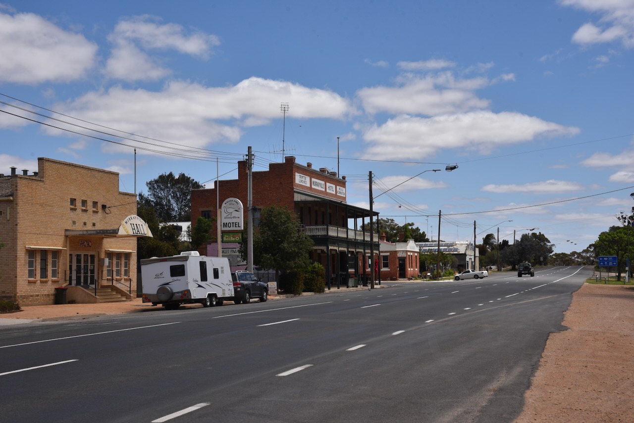
Marija and I packed up, and we headed west to the little town of Murrayville, where we stopped at the Cobb & Co Cafe for some lunch.
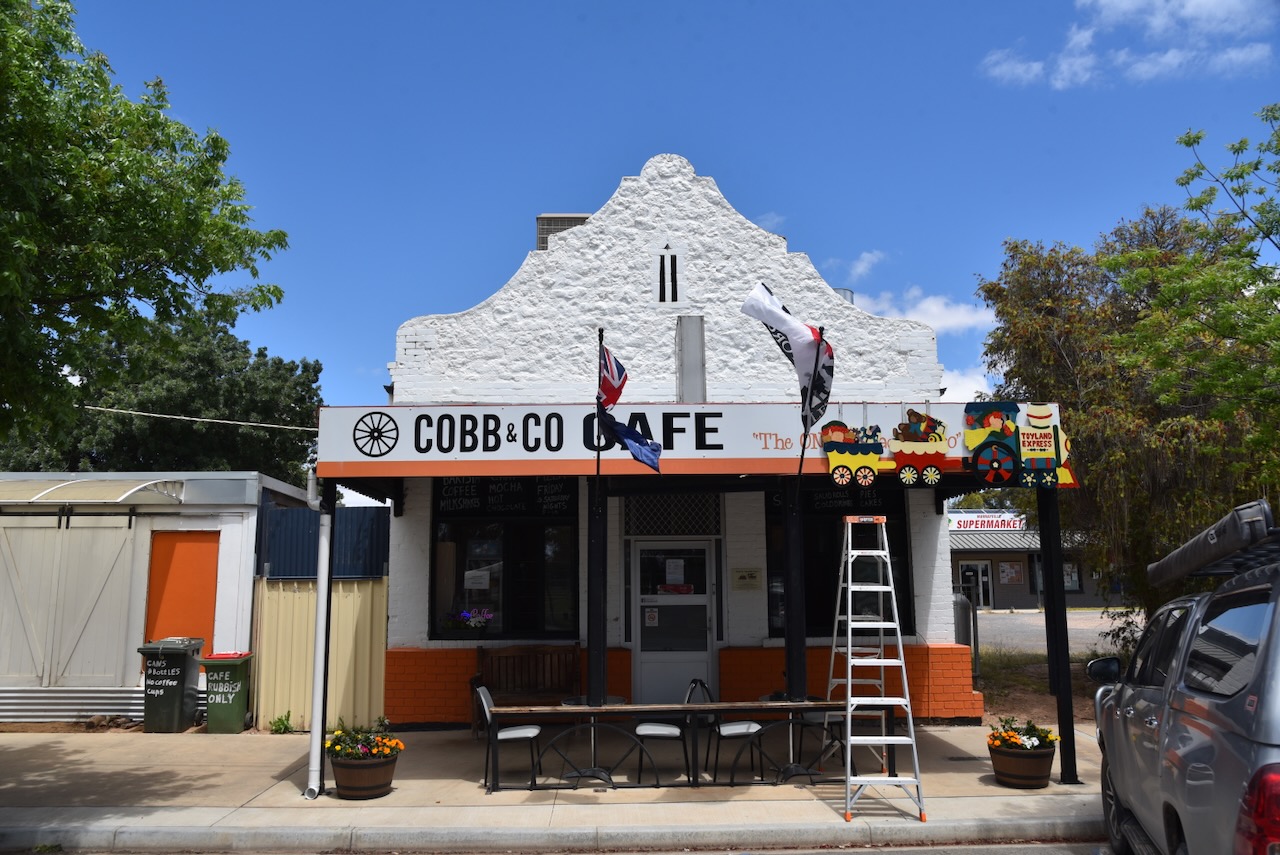
Murrayville is about 20 km from the South Australian border and about 105 km west of Ouyen. We have travelled through here numerous times and often stayed here. It is a beautiful little town.
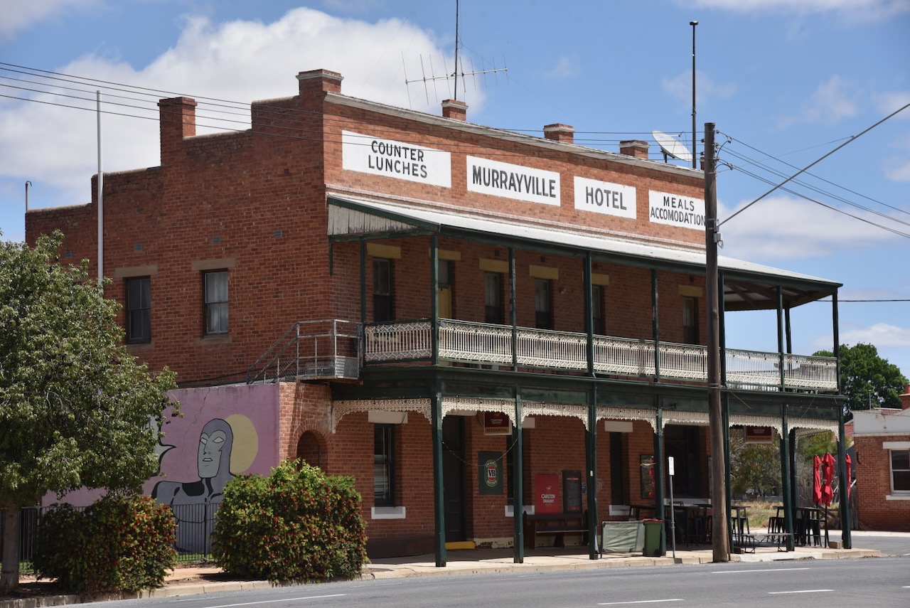
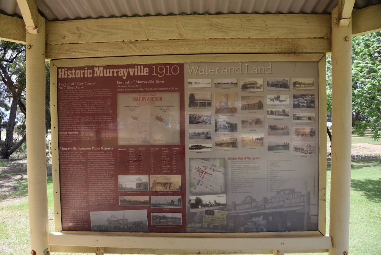
The town of Murrayville was surveyed in 1909-1910 and is named in honour of John Murray, the Victorian State Premier from 1909-1912.
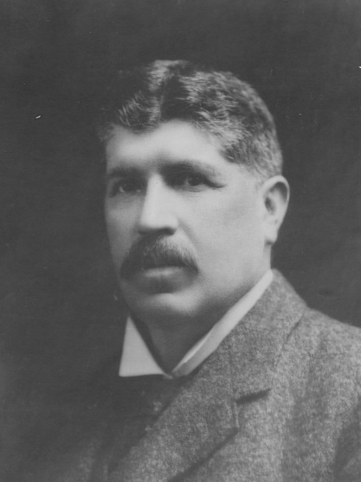
Above: John Murray. Image c/o Wikipedia
In its day, Murrayville was the largest of several settlements west of Ouyen. It boasted a hotel, a mechanics institute, a school, a Methodist church, and several stores.
Undoubtedly, the premier building in the town is the Murrayville Hotel which was built in 1911.
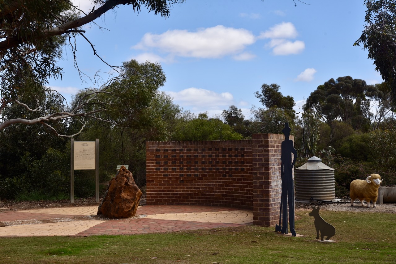
Opposite the hotel is a lovely stopover area with information boards detailing the town’s history and information relating to the district.
Marija and I left Murrayville and headed west on our way home.
References.
- Victorianplaces.com.au. (2026). Underbool | Victorian Places. [online] Available at: https://www.victorianplaces.com.au/underbool [Accessed 20 Apr. 2026].
- Wikipedia Contributors (2025). Underbool. Wikipedia.
- Wikipedia. (2021). Murray-Sunset National Park. [online] Available at: https://en.wikipedia.org/wiki/Murray-Sunset_National_Park. [Accessed 20 Apr. 2026]
