After leaving the Fernshaw Picnic ground, we continued along the Maroondah Highway, until just outside of Healesville, where we detoured off the road to visit the Maroondah Reservoir Park. The park contains feature gardens with stands of both native and exotic trees. And of course it features the Maroondah Dam, which was constructed between 1920-1927. The total capacity of the dam is 6,255 million gallons, with the total length being 956 feet and a depth of 125 feet. The storage created by the dam is called Maroondah Reservoir.
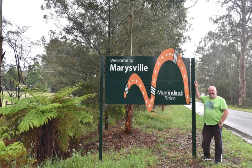
We then headed in to the town of Healesville, which is most famouse for the Healesville Sanctuary, a nature park with hundreds of Australian animals including an active platypus breeding program. Unfortunately we did not have sufficient time to visit the sanctuary on this occasion. We will have to come back. We did stop at one of the local cafes for a coffee and some cake.

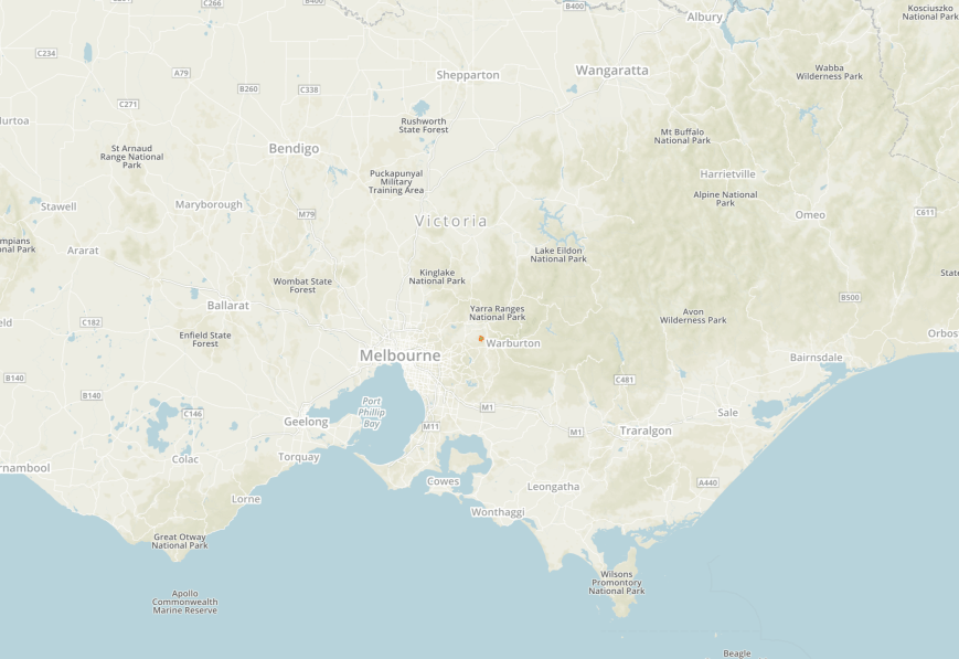
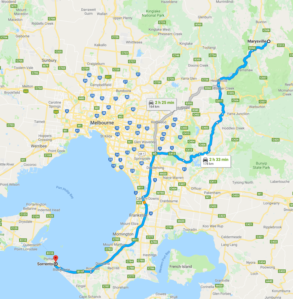
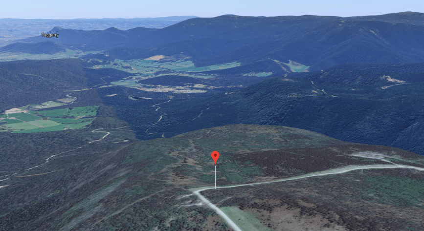
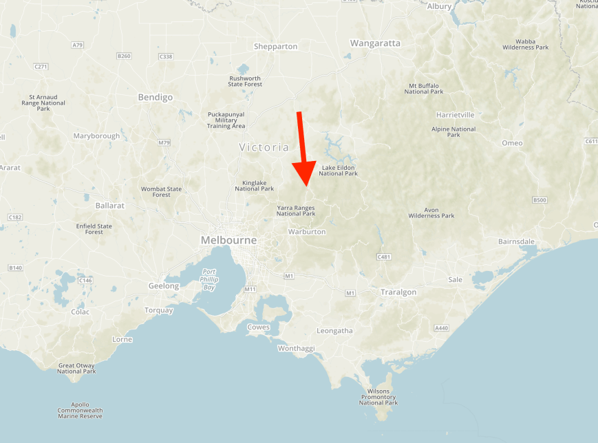
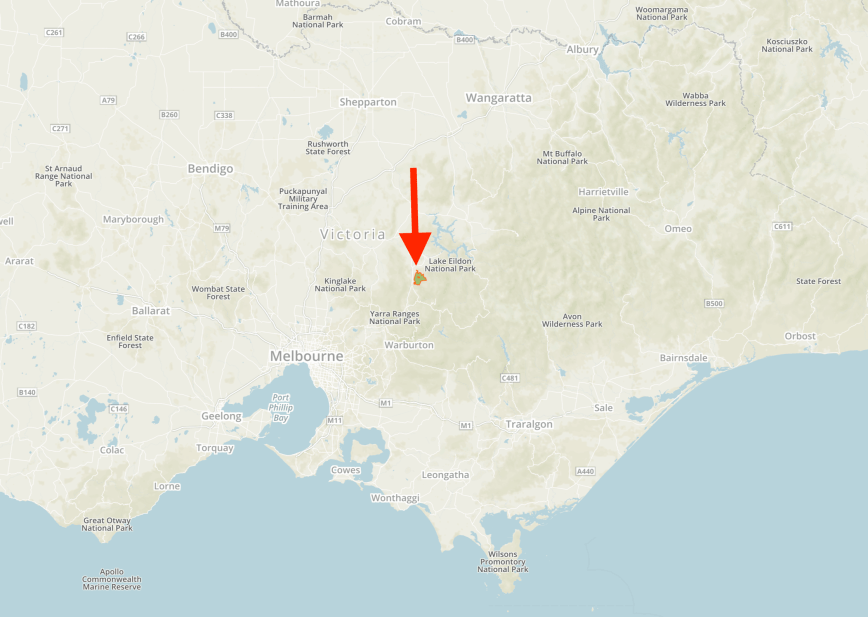
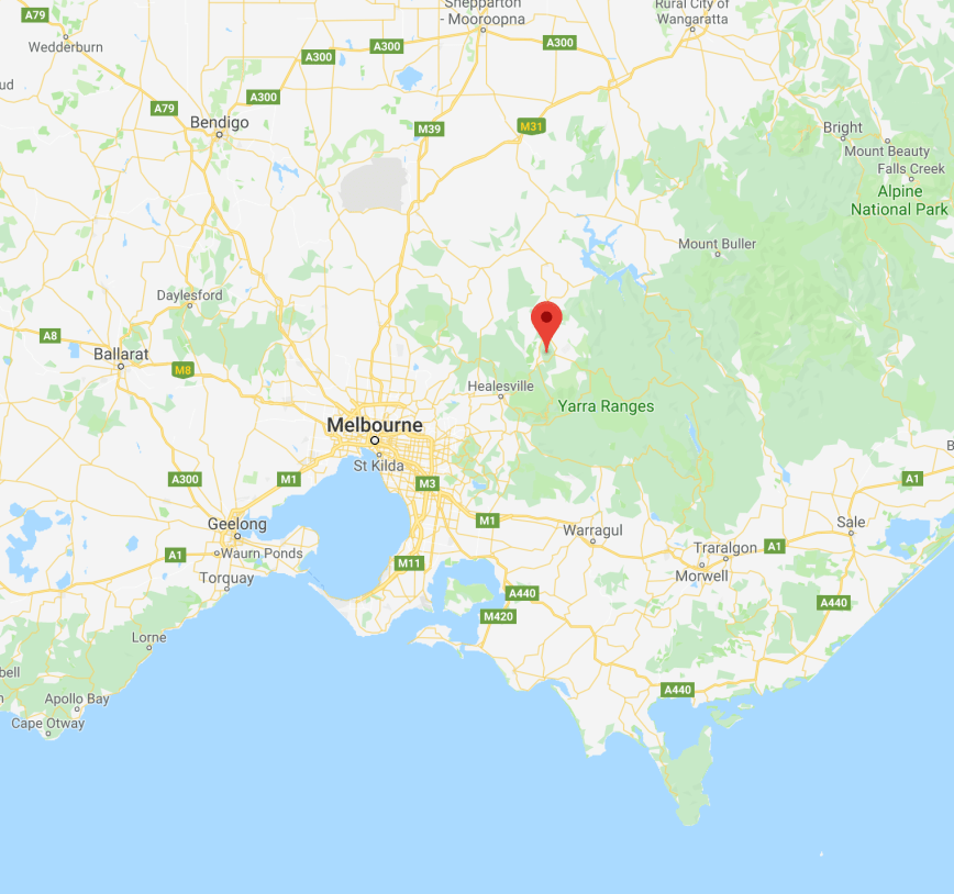
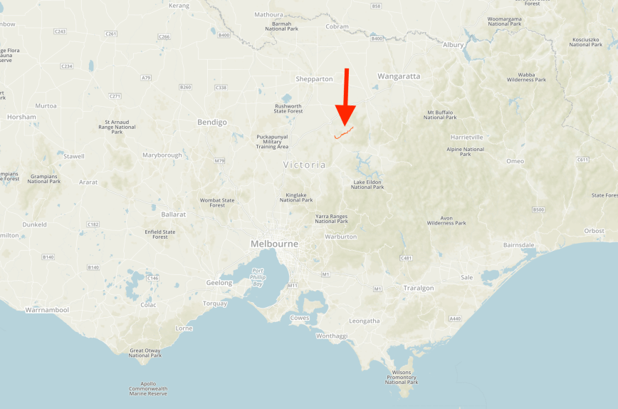
Whilst at the cafe we decided to activate the Warramate Hills Flora and Fauna Reserve VKFF-2224. The park is located about 11 km south of Healesville, and about 59 km east of the city of Melbourne.
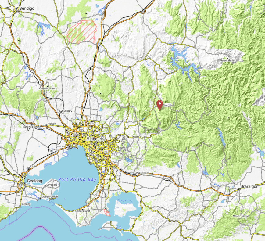
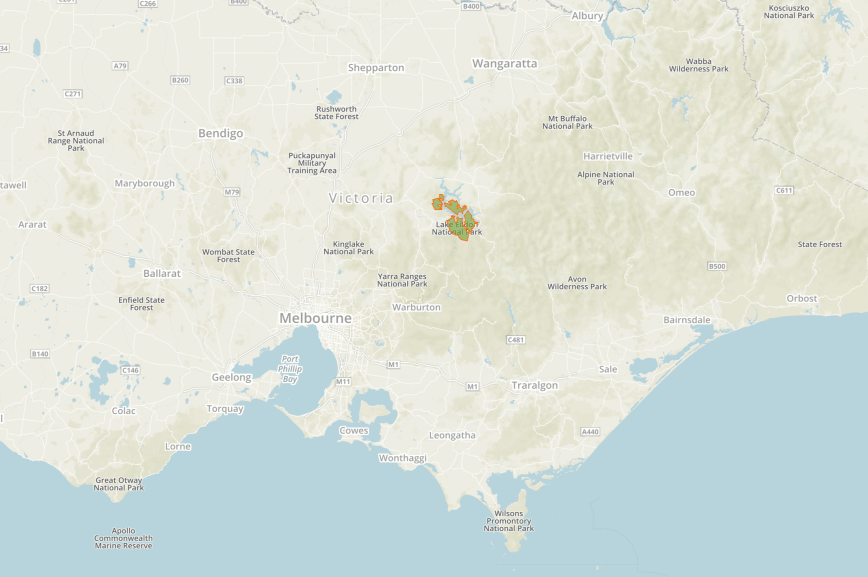
Above:- Map showing the location of the Warramate Hills Flora & Fauna Reserve. Map courtesy of Protected Planet.
The Warramate Hills Flora and Fauna Reserve is 500 hectares in size and was established in September 1992. Formerly, the park was private land known as Yarraloch. At the time it was the largest and most significant conservation and recreation land purchase by the Victorian State Government since it began the programme in 1988.
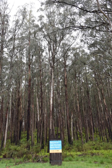
The reserve contains one of the last remaining areas of undisturbed bush in the Yarra Valley and is home to more than 200 species of trees, shrubs and grasses and provides habitat for about 74 native birds and about 20 native reptiles and mammals including the endangered Tree Goanna.
The Warramate Hills were first surveyed by T.H. Nutt in 1840. The area was described as ‘steep stringybark ranges, thickly timbered’.
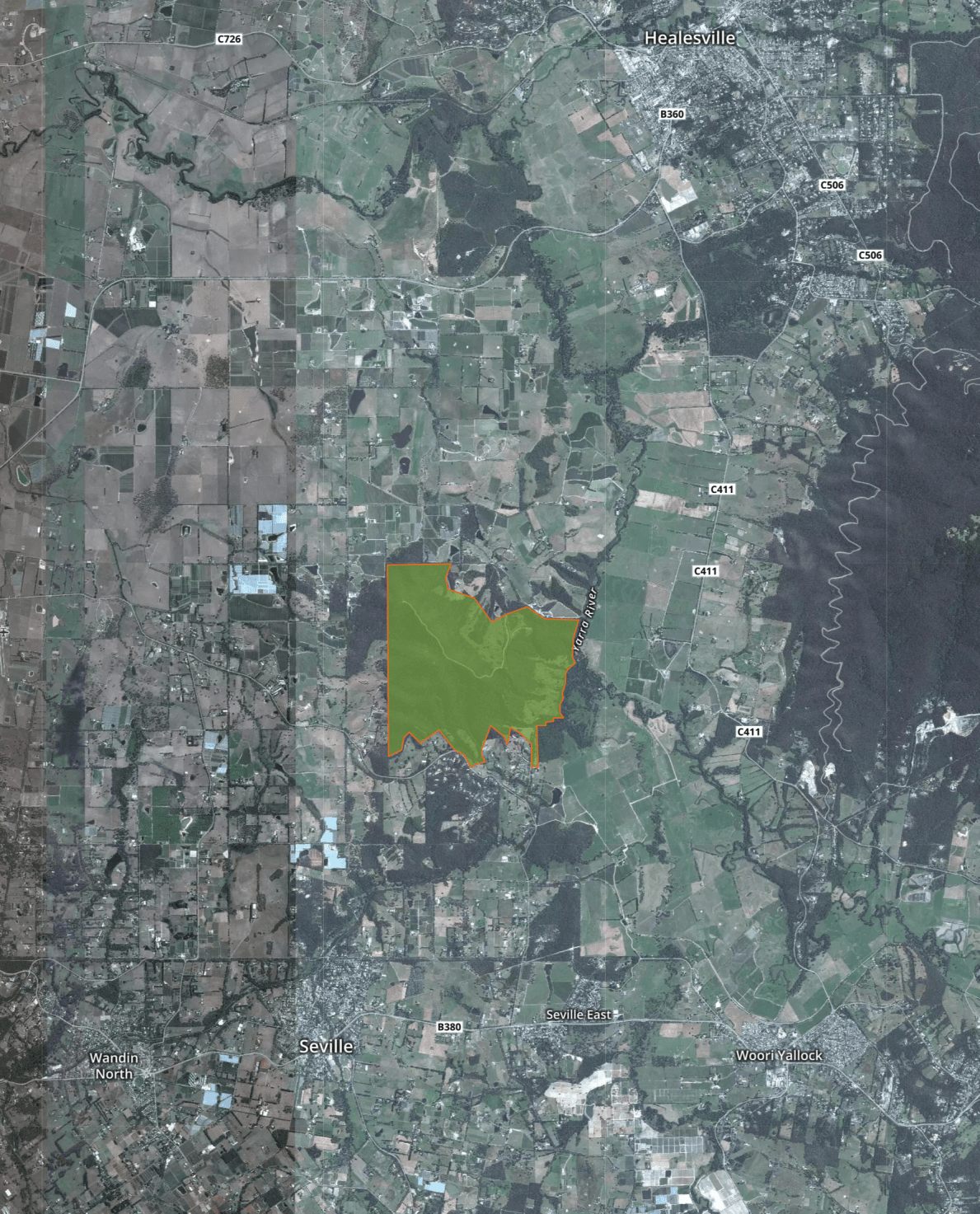
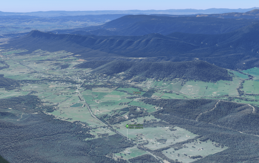
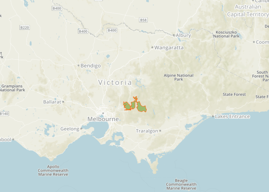
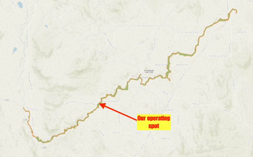
Above:- Aerial view of the Warramate Hills Flora & Fauna Reserve. Image courtesy of Protected Planet.
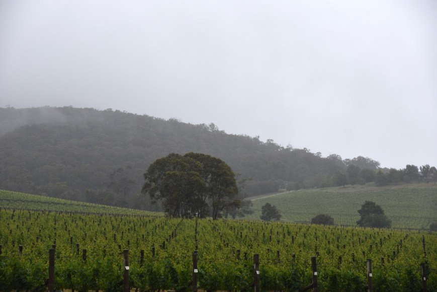
We travelled south out of Healesville and into the Yarra Valley wine growing region which is best known for producing Chardonnay, sparkling wine and Pinot noire.
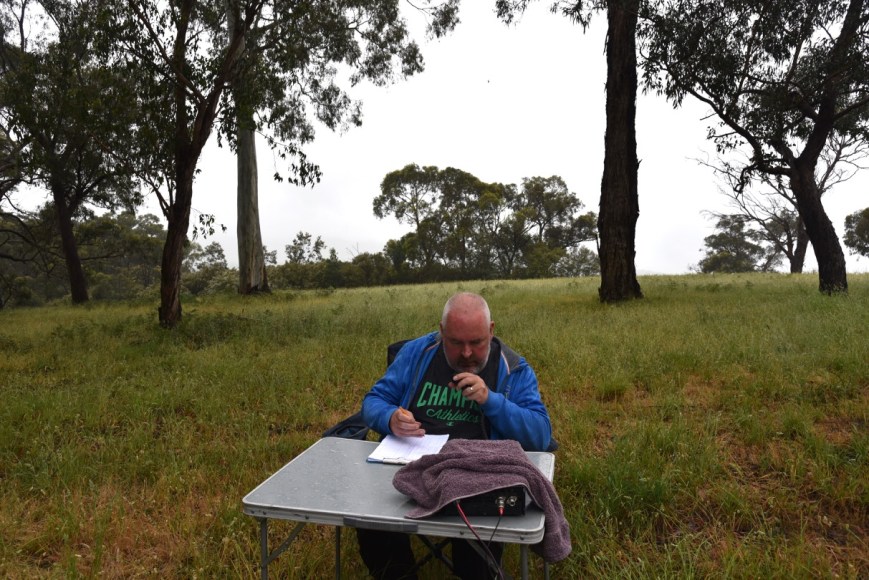
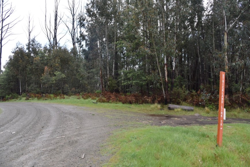
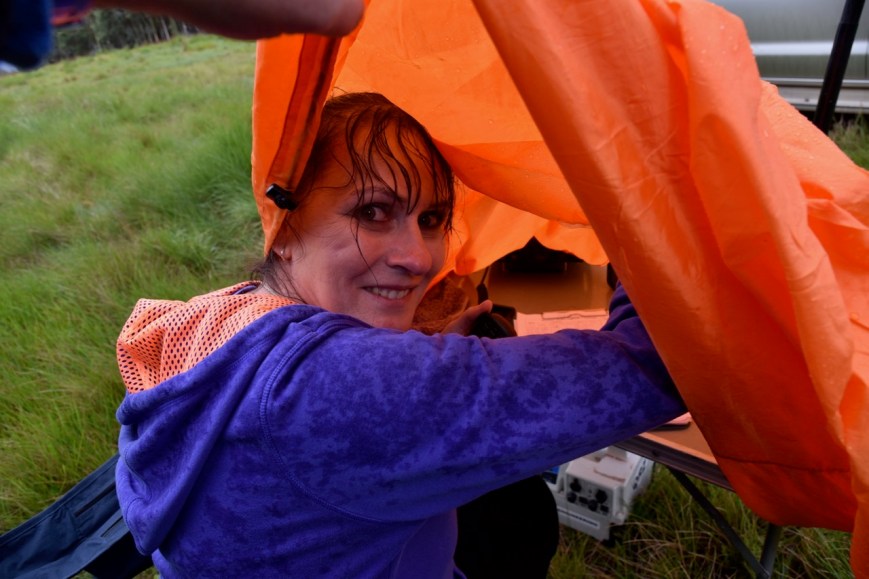
It was drizzling with rain, so Marija and I were keen to find a spot where we could drive into the park and hopefully operate from the vehicle. But as this was a first time activation for us, we weren’t sure if this was possible. Maps indicated there were tracks within the park, but from past experience we knew not to trust the maps.
We first tired to access the park via the northern side on Range Road. However there was no vehicular access, just a locked gate.


So we drove around to the southern side of the park along Killara Road and then Yarraloch Way. Unfortunately there was no vehicular access here either. So we sat for 10 minutes waiting for the showers to clear.


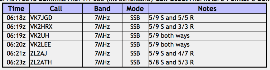
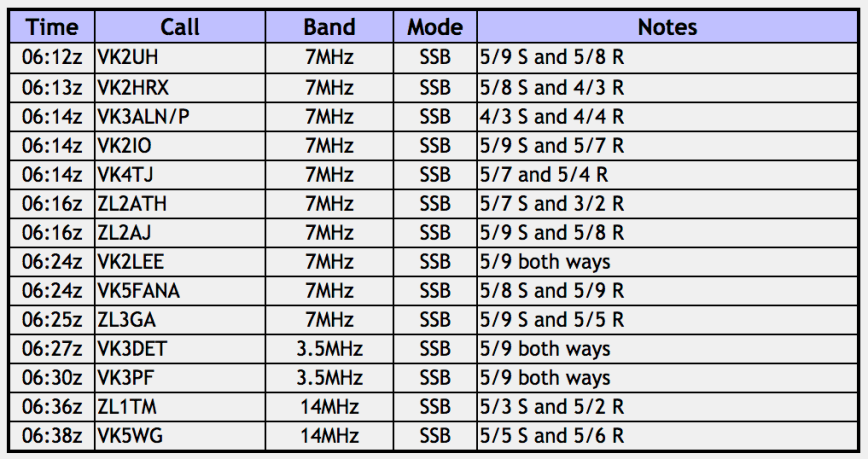
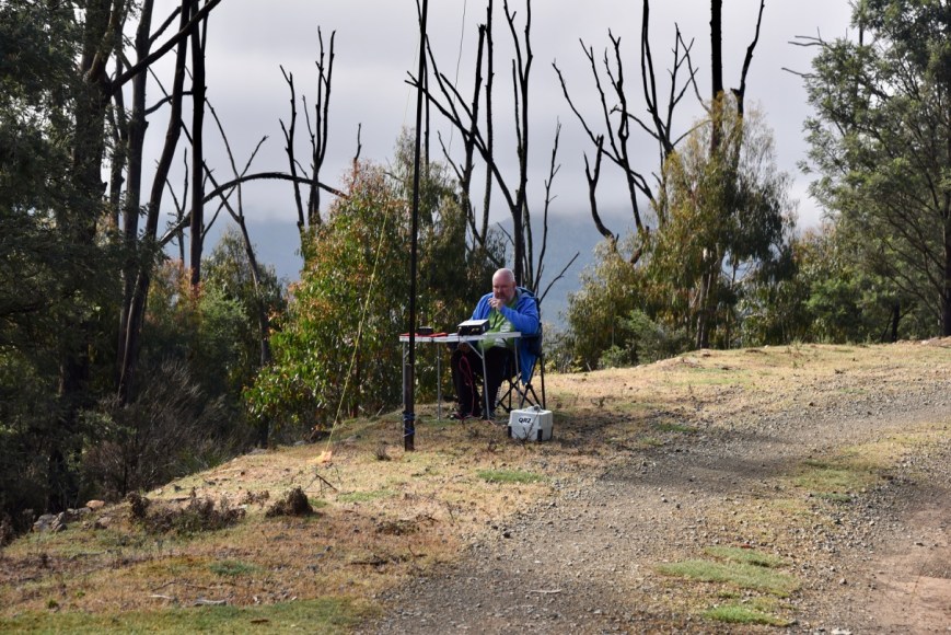
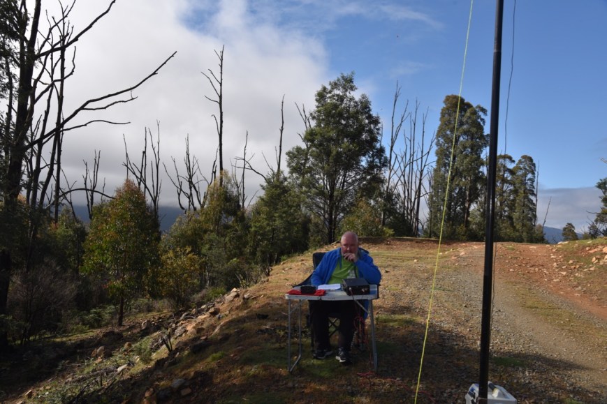
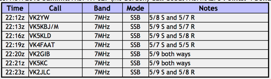
I kicked off the activation by calling CQ on 7.144. This was answered by Ivan VK5HS who was mobile, followed by Adrian VK5FANA who kindly spotted me on parksnpeaks. Within 6 minutes I had 10 contacts in the log. Contact number ten was a QSO with Kieran VK2QK. I worked a further 3 stations, and with 13 contacts in the log, I swapped the mic with Marija.
Marija’s first contact was with Adrian VK5FANA, followed by Rob VK5TS and then Jim VK2FADV. Within 8 minutes Marija had contact number 10 in the log and the park qualified for the VKFF program. This included three Park to Park contacts, with VK2XSE/p, VK2KNV/p and VI2WG50/p in the Langtree Nature Reserve VKFF-2642.
We were experiencing the occasional drop of rain and the bothy bag, combined with towells, kept us and the equipment relatively dry.
I logged a further 3 stations on 40m before heading to 80m where I logged 3 stations, Al VK7AN, Peter VK3PF, and Geoff VK3SQ.
Unfortunately due to the weather I did not get to try 20m, as the heavens opened up, and it was a made dash to get the gear back into the vehicle.
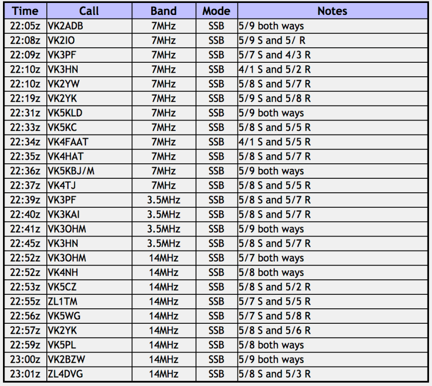
Marija worked the following stations on 40m SSB:-
- VK5FABNA
- VK5TS
- VK2FADV
- VK5KLV
- VK4NH
- VK4DXA
- ZL4TY/VK4
- VK2YW
- VK2XSE/p (Langtree Nature Reserve VKFF-2642)
- VI2WG50 (Langtree Nature Reserve VKFF-2642)
- VK2KNV/p (Langtree Nature Reserve VKFF-2642)
I worked the following stations on 40m SSB:-
- VK5HS/m
- VK5FANA
- VK4NH
- VK4DXA
- ZL4TY/VK4
- VK2IO
- VK5LA
- VK2RP/m
- VK2BDR/m
- VK2QK
- VK5KLV
- VK5TS
- VK2YK
- VK7AN
- VK3FDZE
- VK2FADV
I worked the following stations on 80m SSB:-
- VK7AN
- VK3PF
- VK3SQ
References.
Parks Victoria, 2018, <https://parkweb.vic.gov.au/explore/parks/maroondah-reservoir-park>, viewed 17th December 2018
Wikipedia, 2018, <https://en.wikipedia.org/wiki/Maroondah_Dam>, viewed 17th December 2018
Wikipedia, 2018, <https://en.wikipedia.org/wiki/Healesville,_Victoria>, viewed 17th December 2018
Wikipedia, 2018, <https://en.wikipedia.org/wiki/Yarra_Valley_(wine)>, viewed 17th December 2018
Yarra Ranges Conservation Alliance, 2018, <https://yarrarangesconservationalliance.weebly.com/warramate-hills-conservation-area.html>, viewed 17th December 2018


")