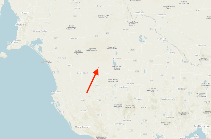
Our third park for the day was the Boyeo Flora Reserve VKFF-2275, which is located about 14 km north-west of the town of Nhill in western Victoria. Again this was to be a first-time activation of this park.

Above:- Map showing the location of the Boyeo Flora Reserve in western Victoria. Map courtesy of Protected Planet.
After leaving Red Gum Swamp we travelled east on Broughton Road and then turned right onto the Nhill-Yanac Road and travelled south. We soon reached the park which is located at the intersection of the Nhill-Yanac Road and McDonalds Road. The park is well signposted.

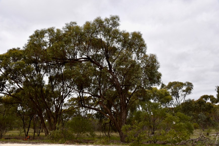
The park is a small piece of remnant bushland surrounded by cleared land for farming. I have been unable to find out very much about this park on the internet.
Close by to the park is the Boyeo Hall. In the adjacent grounds are a number of plaques commemorating pioneers of the district.


Little remains in the area nowadays. The Boyeo school opened in February 1884 in a temporary building on a 2-acre site. In 1885 a timber schoolroom was erected with a 4 room residence attached. The school closed in 1944. The ruins can be located north of the Boyeo Flora Reserve, near the Boyeo Swamp Wildlife Reserve.

Above:- The Boyeo school in the late 1880s. Image courtesy of ‘Wimmera Way back When’.
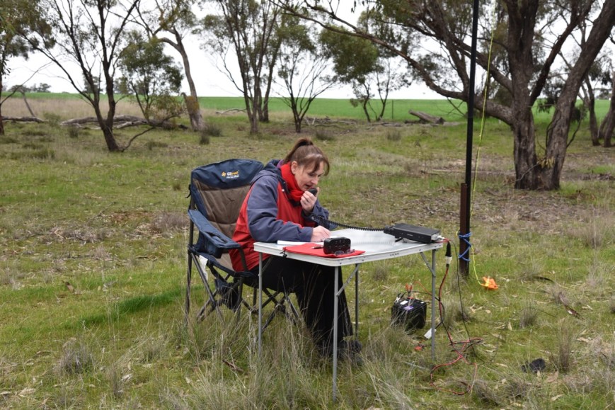
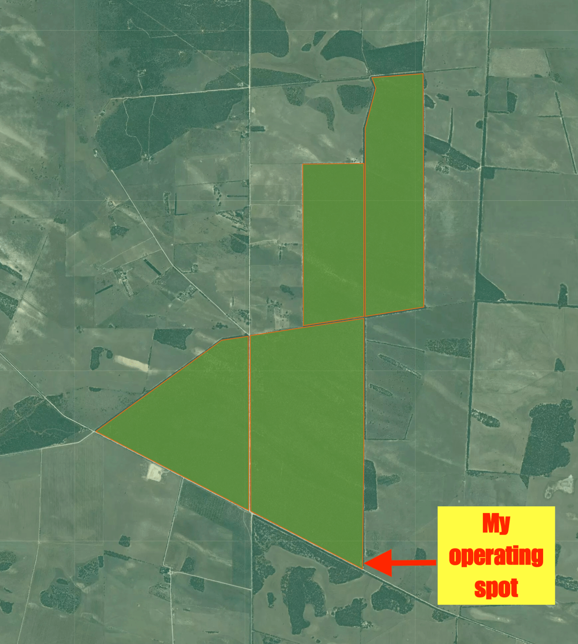
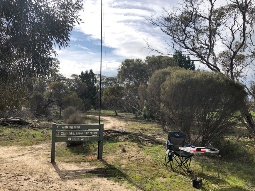
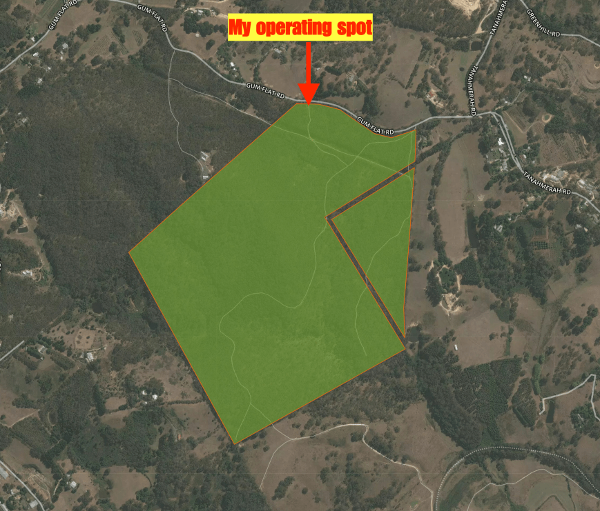
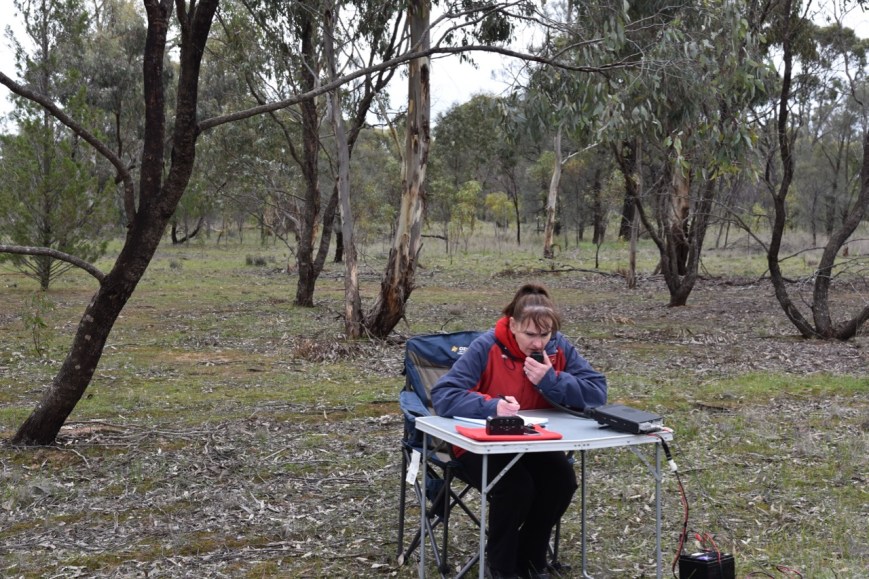
We parked the 4WD on McDonalds Road and set up on the northwestern side of the road in a clearing in the scrub.

Above:- Aerial shot of the Boyeo Flora Reserve showing our operating spot. Image courtesy of Google maps
First in the log for this activation was Mark VK4SMA/p who was calling CQ on 7.140 from the Ravensbourne National Park VKFF-0427. Mark kindly handed the frequency over to us and I started calling CQ. This was answered by regular par hunter Rick VK4RF, followed by Peter VK3PF, and then Andrei ZL1TM.
Two QSOs later both Marija and I logged Gerard VK2IO/5 who was activating SOTA St Marys Peak VK5/ NE-001 in the Flinders Ranges National Park VKFF-0427. St Marys Peak is the highest point in the Flinders Ranges at 1,189 metres (3,901 feet).
It took me just 4 minutes to get my 10 contacts to qualify the park for VKFF. Contact number ten was with John VK4TJ using his Canadian call.

After logging John I swapped the operator’s chair with Marija who started calling CQ on 7.140. This was answered by Grant VK2LX, followed by Keith Vk2PKT and then David VK2CDS/p. It took Marija just 8 minutes to reach the 10 QSO threshold. Contact number ten was a QSO with Ian VK5CZ who has just started to become involved in the WWFF/VKFF program/s.
Marija went on to log a total of 20 stations from VK2, VK3, VK4, VK5, and VK7.
I had ten QSOs in the log and a long way away from the 44 required to qualify the park for the global WWFF program. Marija placed a fresh spot for me on parksnpeaks and I got stuck into calling CQ. Lee VK2LEE responded to my call, followed by Grant VK2LX, and Scott VK4CZ who was very strong.
I logged a total of 30 stations on 40m before callers dried up. I then headed down to 3.615 on the 80m band and called CQ, logging a total of 9 stations from VK3, VK5, & VK7.
I was now just 6 contacts short of 44, and I decided to try the 20m band. After a fresh spot on parksnpeaks, I called CQ on 14.310. Anthony VK6MAC came back to my call with a good 5/7 signal, followed by Hans VK6XN who was also 5/7. Unfortunately, they were my only callers.
I moved back to 7.140 and called CQ which was answered by Brendon VK3MH who was mobile in VK2, followed by Ron VK2ABK, and then Glen VK4FSCC mobile. But that was it, with no more takers. I was one short of 44. I had seen a post on Facebook from David VK5PL asking if I could go back to 80m which I did. I logged David for my 44th contact.

Marija worked the following stations on 40m SSB:-
- VK4SMA/p (Ravensbourne National Park VKFF-0427)
- VK2IO/5 (St Marys Peak VK5/ NE-001 & Flinders Ranges National Park VKFF-0176)
- VK2LX
- VK2PKT
- VK2CDS/p
- VK2FSAV
- VK4NH
- VK4DXA
- ZL4TY/VK4
- VK5CZ
- VK7OT
- VK4RF
- VK4HA
- VK7FJFD
- VK5KLV
- VK3PF
- VK2LEE
- VK4TJ
- VK4/AC8WN
- VK4/VE6XT
I worked the following stations on 40m SSB:-
- VK4SMA/p (Ravensbourne National Park VKFF-0427)
- VK4RF
- VK4HA
- VK3PF
- ZL1TM
- VK5AR/m
- VK2IO/5 (St Marys Peak VK5/ NE-001 & Flinders Ranges National Park VKFF-0176)
- VK4TJ
- VK4/AC8WN
- VK4/VE6XT
- VK2LEE
- VK2LX
- VK4CZ
- VK1MA
- VK7OT
- VK2AB
- VK7FJFD
- VK2VW
- VK7KW
- VK4FARR
- VK2PKT
- VK4BR
- VK5KLV
- VK3SQ
- VK2NJP
- VK3DMP
- VK4IY/m
- VK4MWB
- VK7EE
- VK7ME
- VK3MH/2
- VK2ABK
- VK4FSCC/m
I worked the following stations on 80m SSB:-
- VK3PF
- VK3KAI
- VK3GV
- VK7EE
- VK3SQ
- VK5FANA
- VK5BJE
- VK7ME
- VK5PL
I worked the following stations on 20m SSB:-
- VK6MAC
- VK6XN
References.
Wimmera Way Back When, 2019, <http://wimmera-w-b-w.blogspot.com/search/label/Boyeo>, viewed 6th August 2019