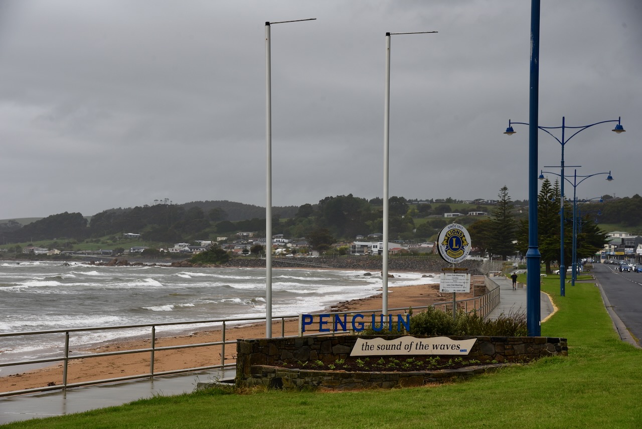
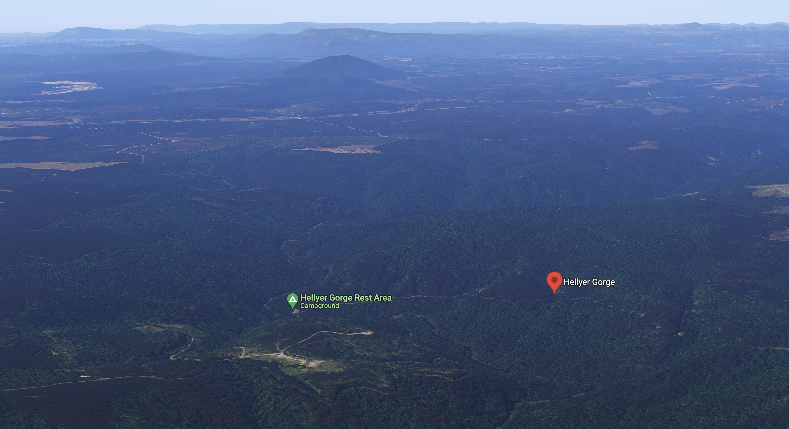
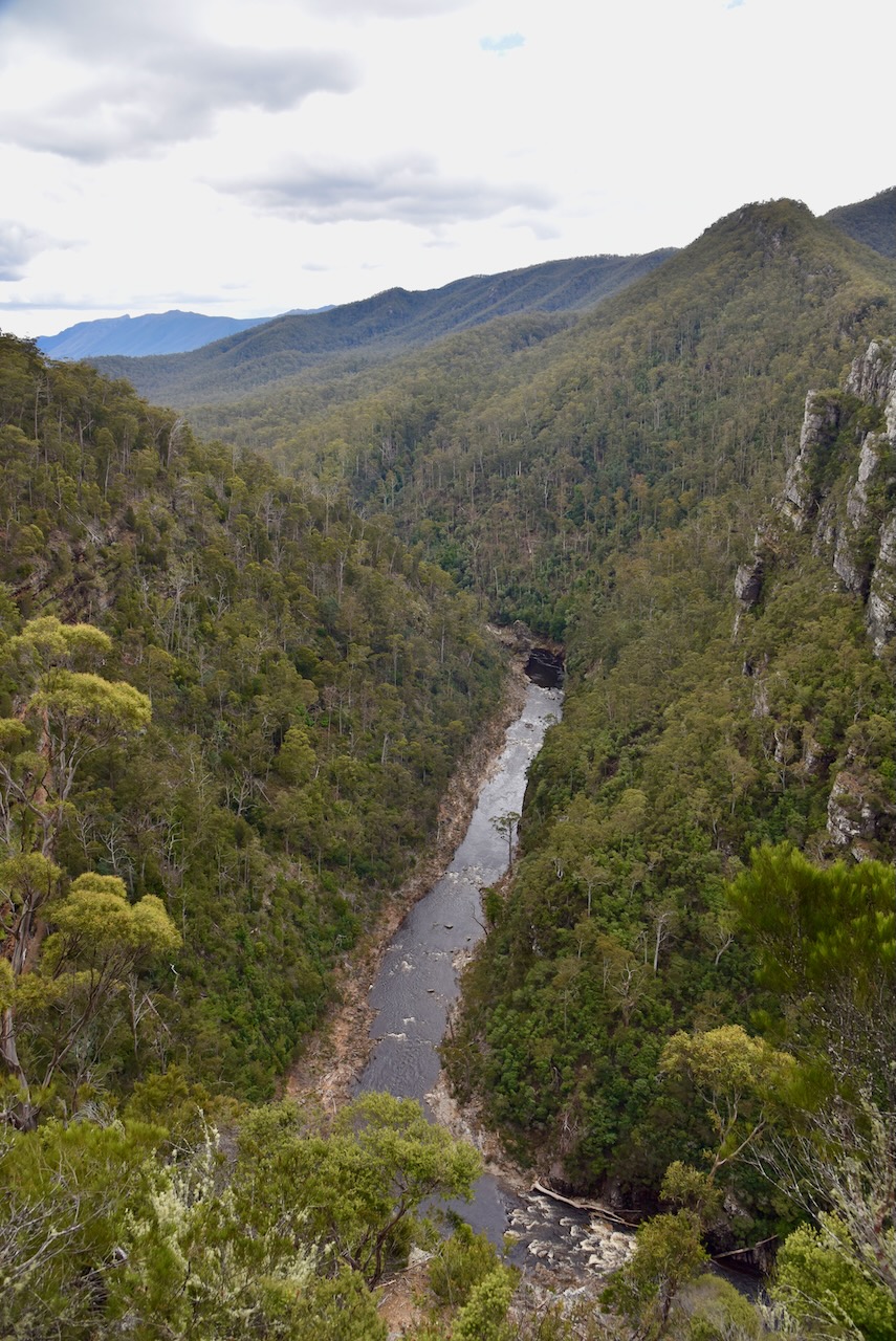
After packing up at Hellyer Gorge (17th November 2022), Marija and I continued north and into the town of Wynard on the north coast of Tasmania.
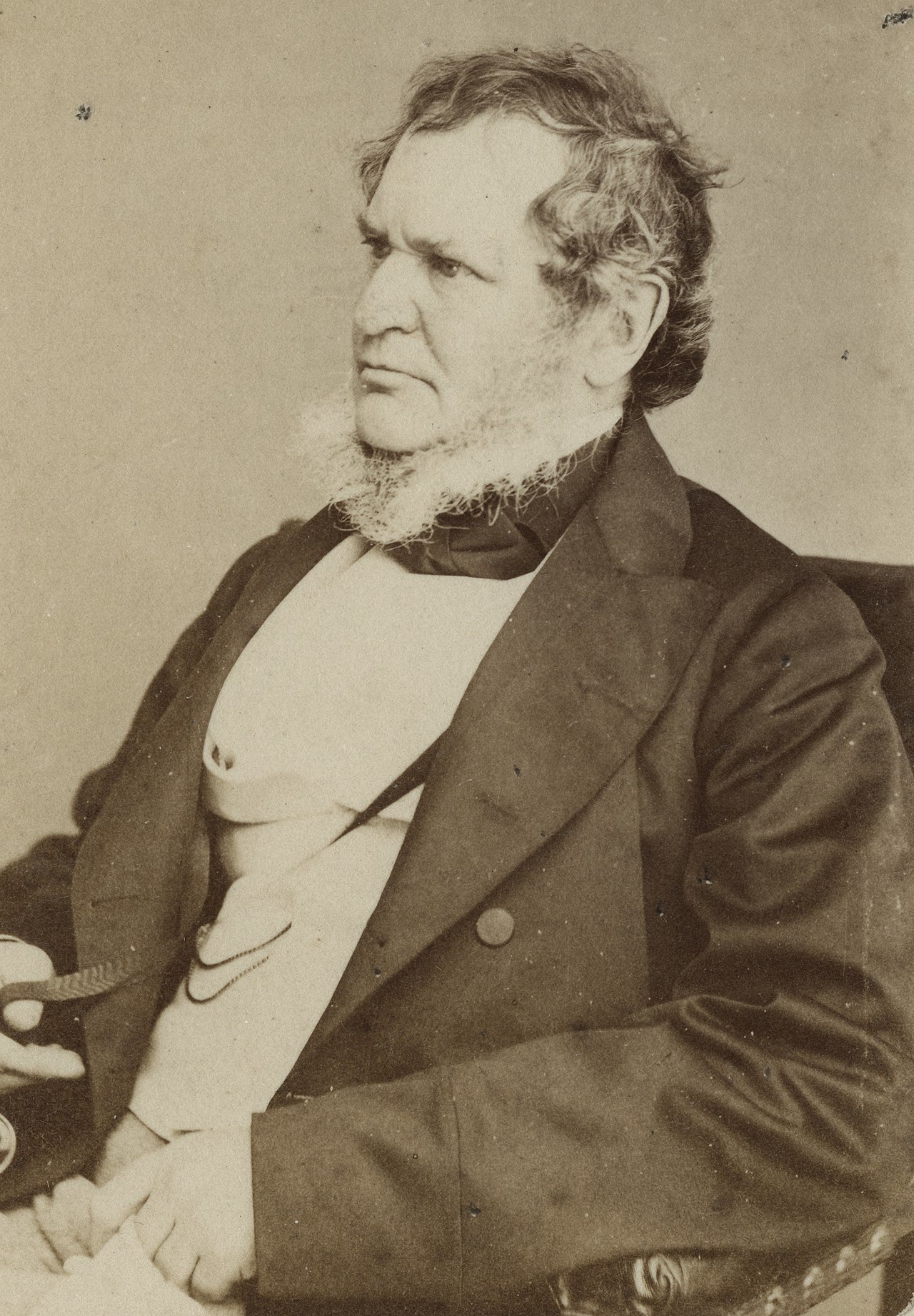
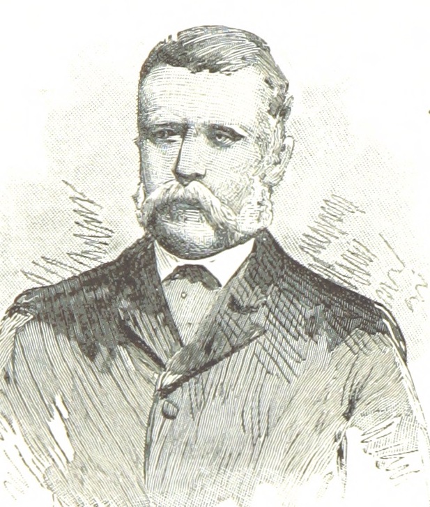
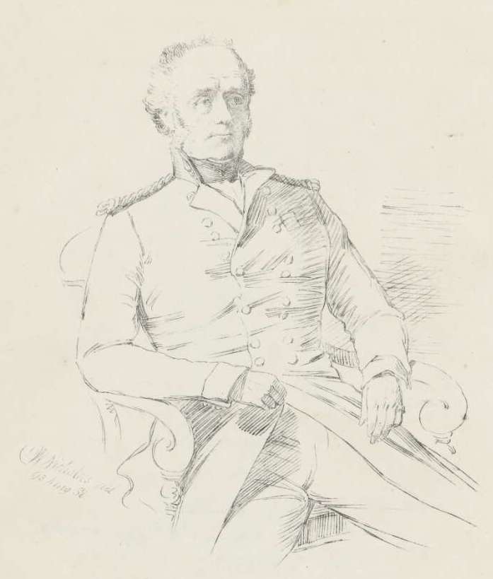
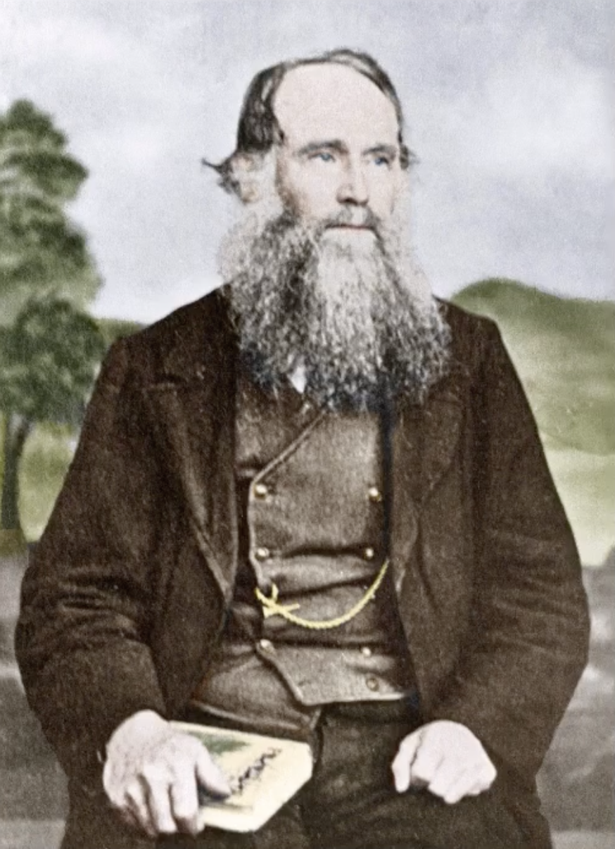
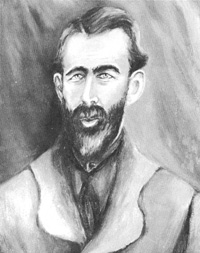
Wynyard is located about 17 km west of Burnie and has a population of about 6,300 people (2021 census). It is believed that Wynyard was named in honour of Major General Edward Buckley Wynyard (b. 1788. d. 1864) in the early 1850s. He was in command of the troops in New South Wales, Van Dieman’s Land, and New Zeraland.
Above:- Edward Buckley Wynyard. Image c/o State Library NSW.
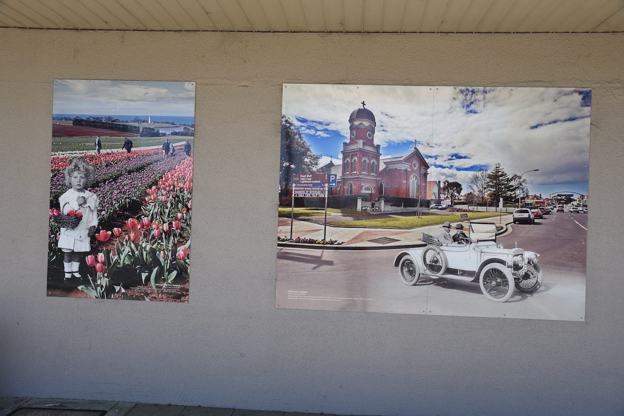
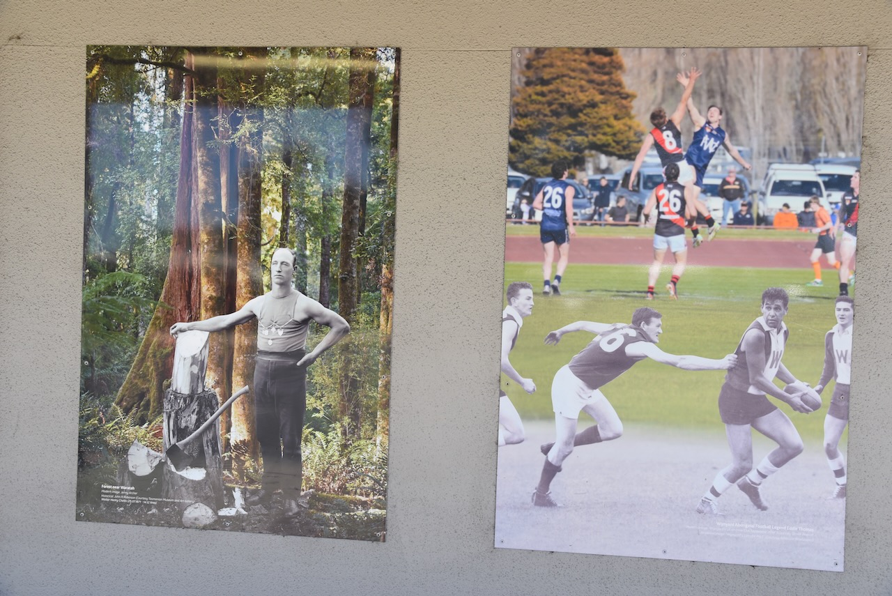
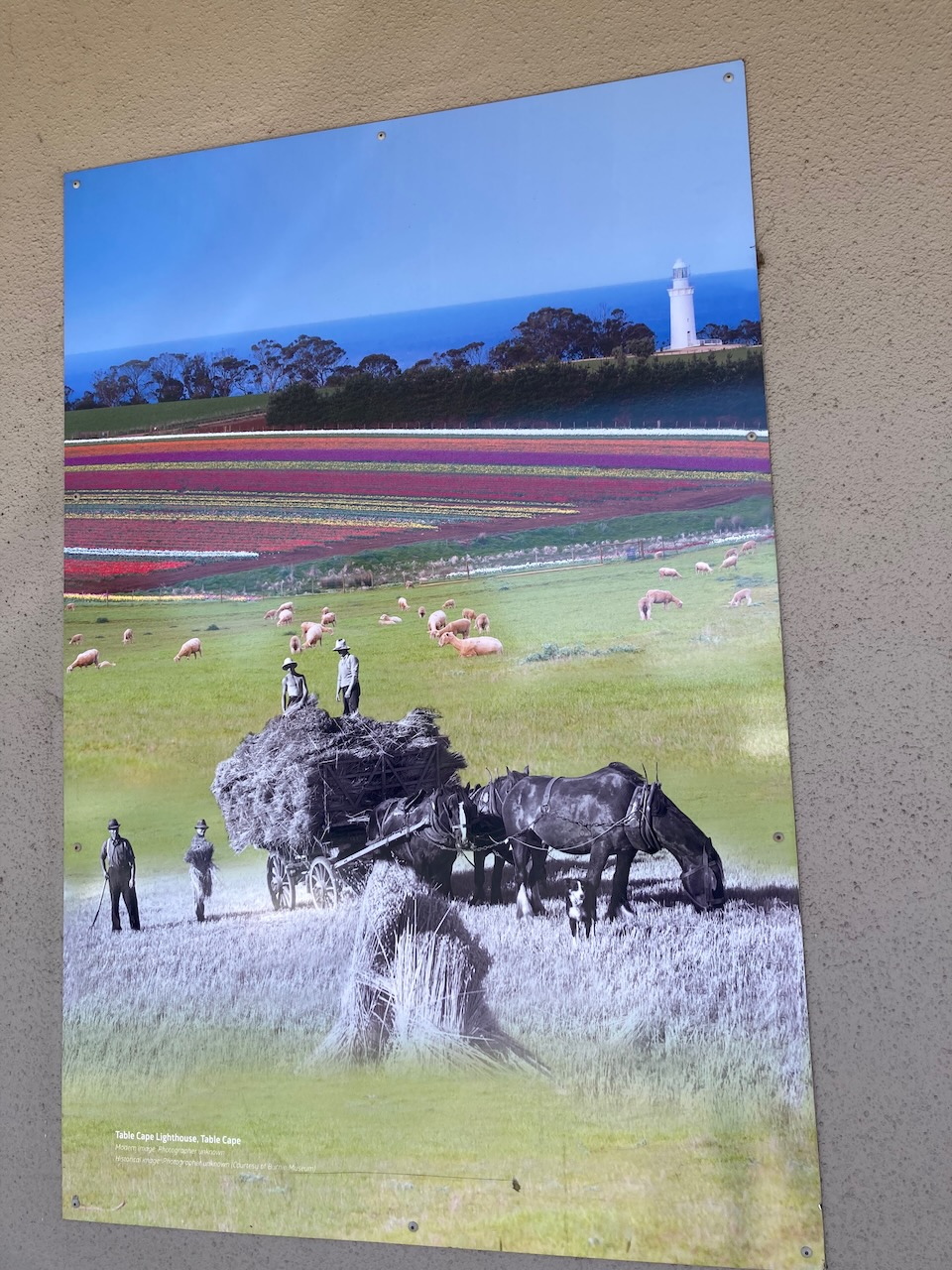
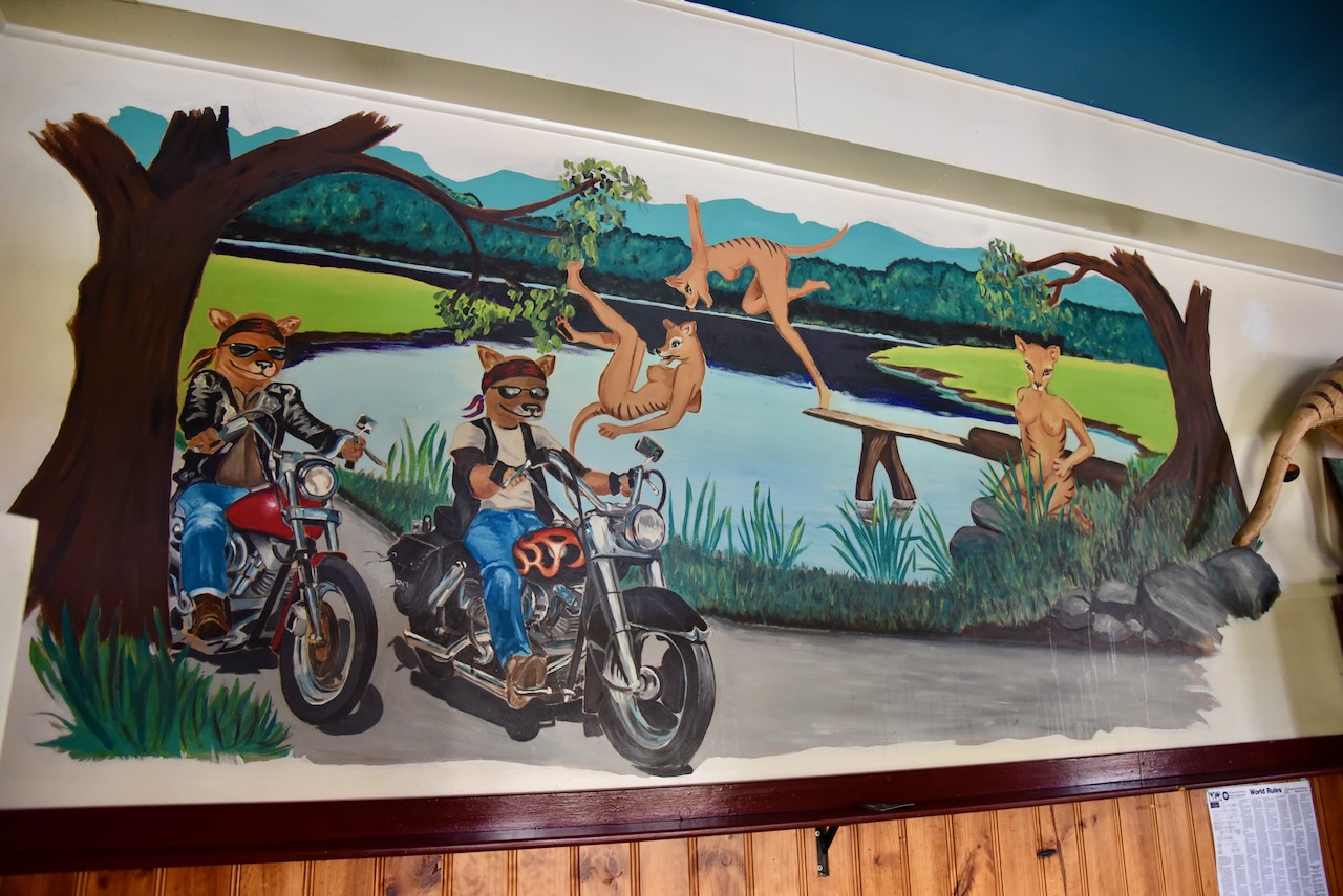
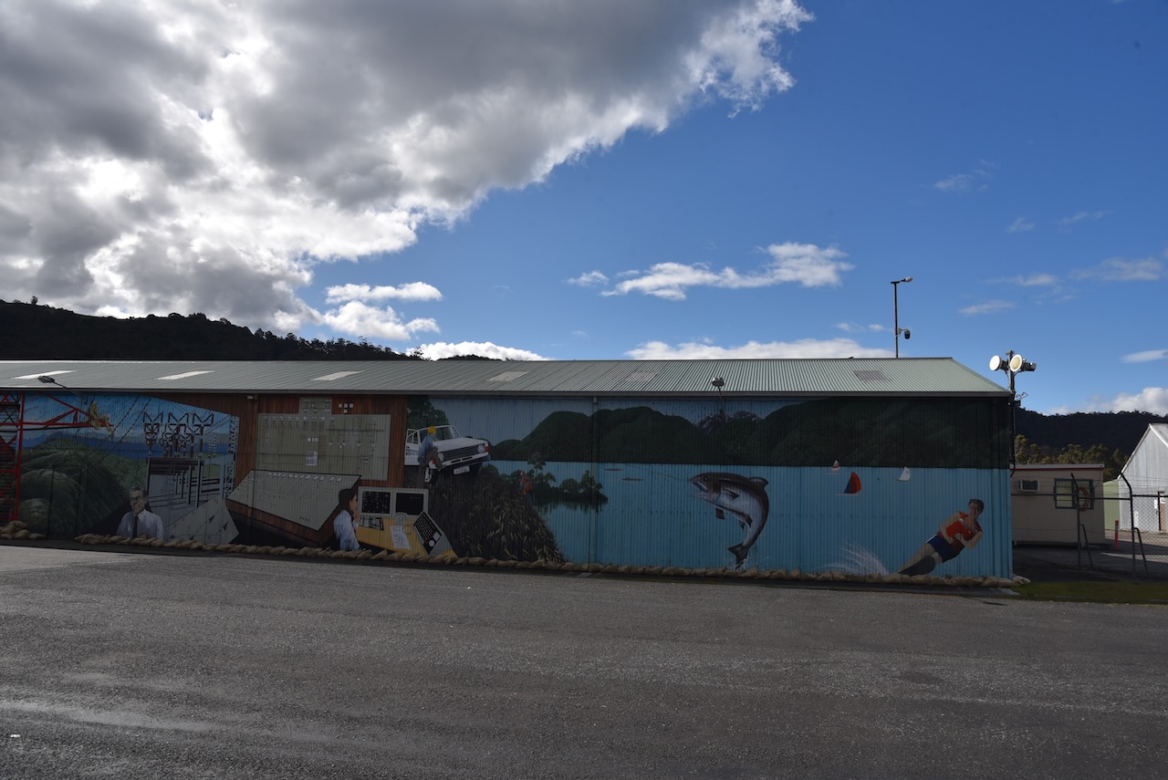
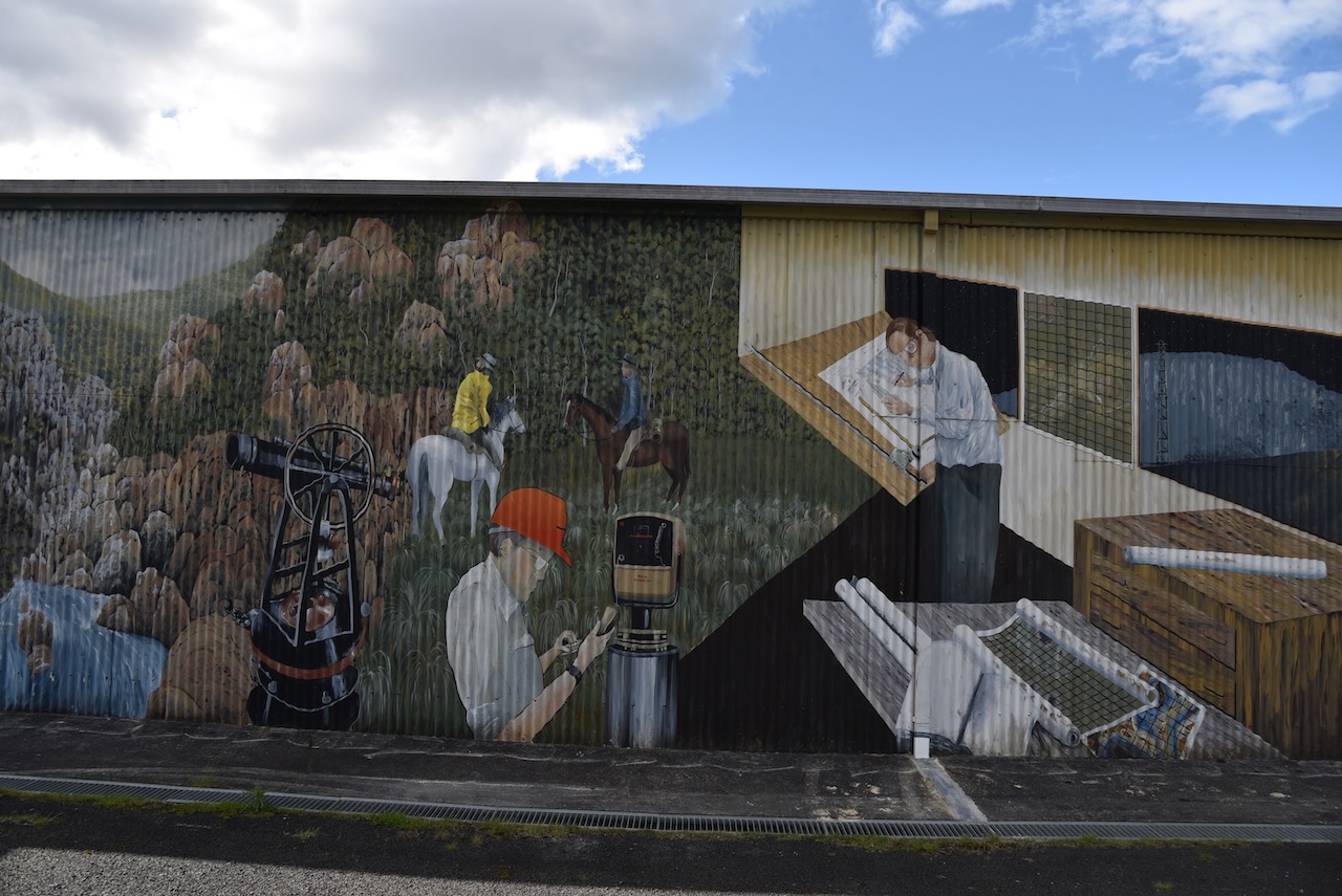
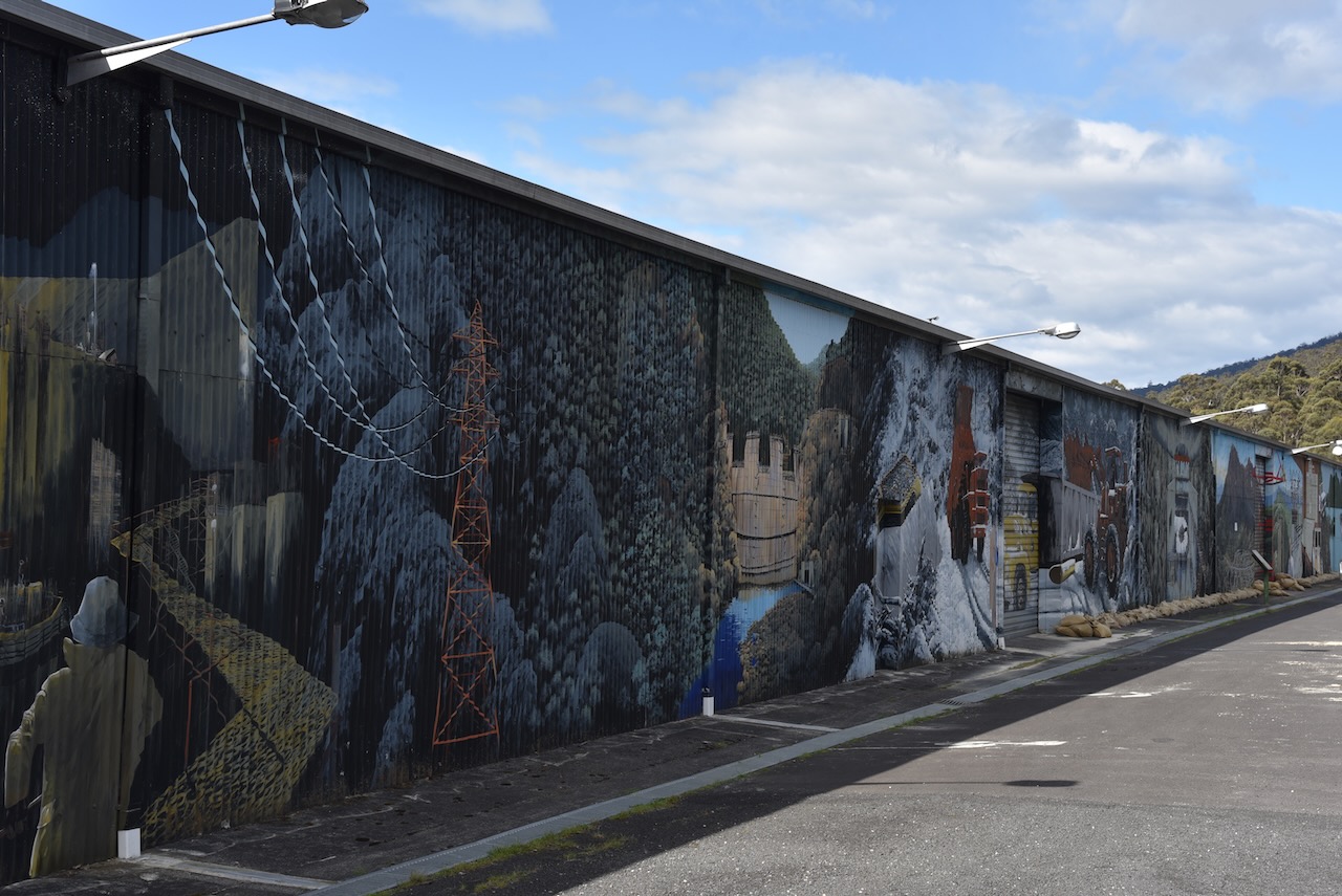
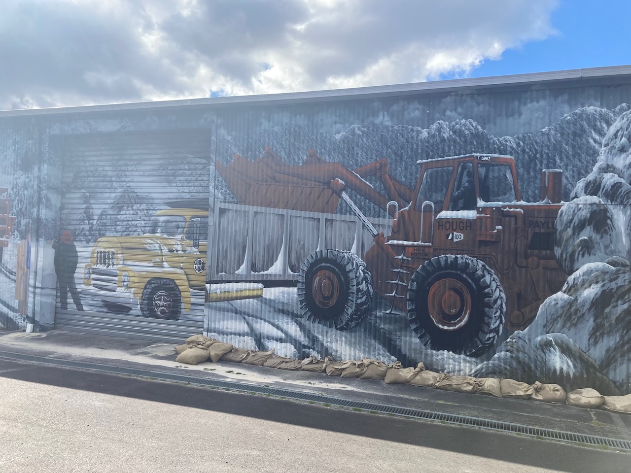
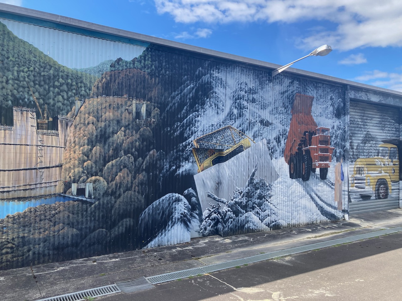
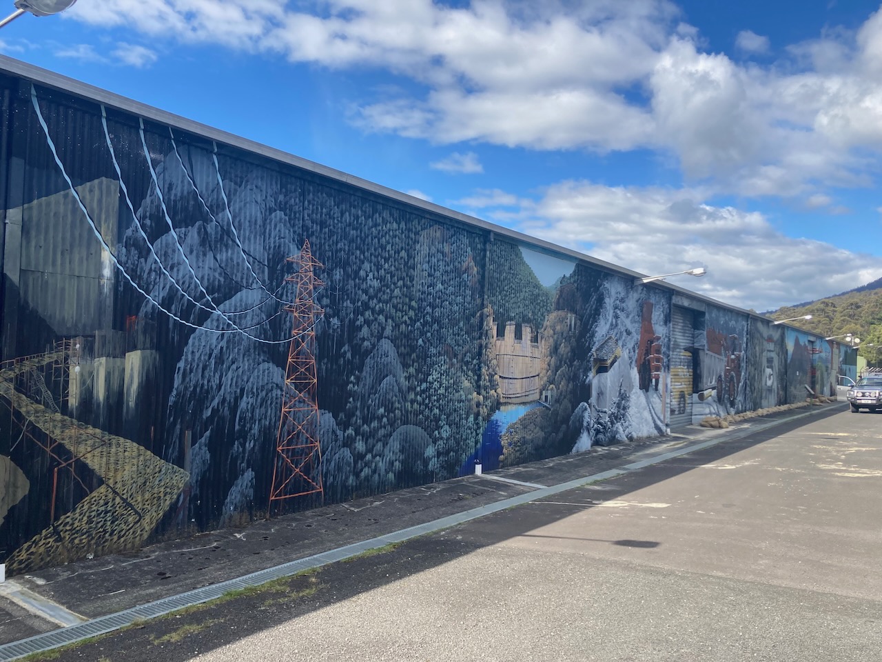
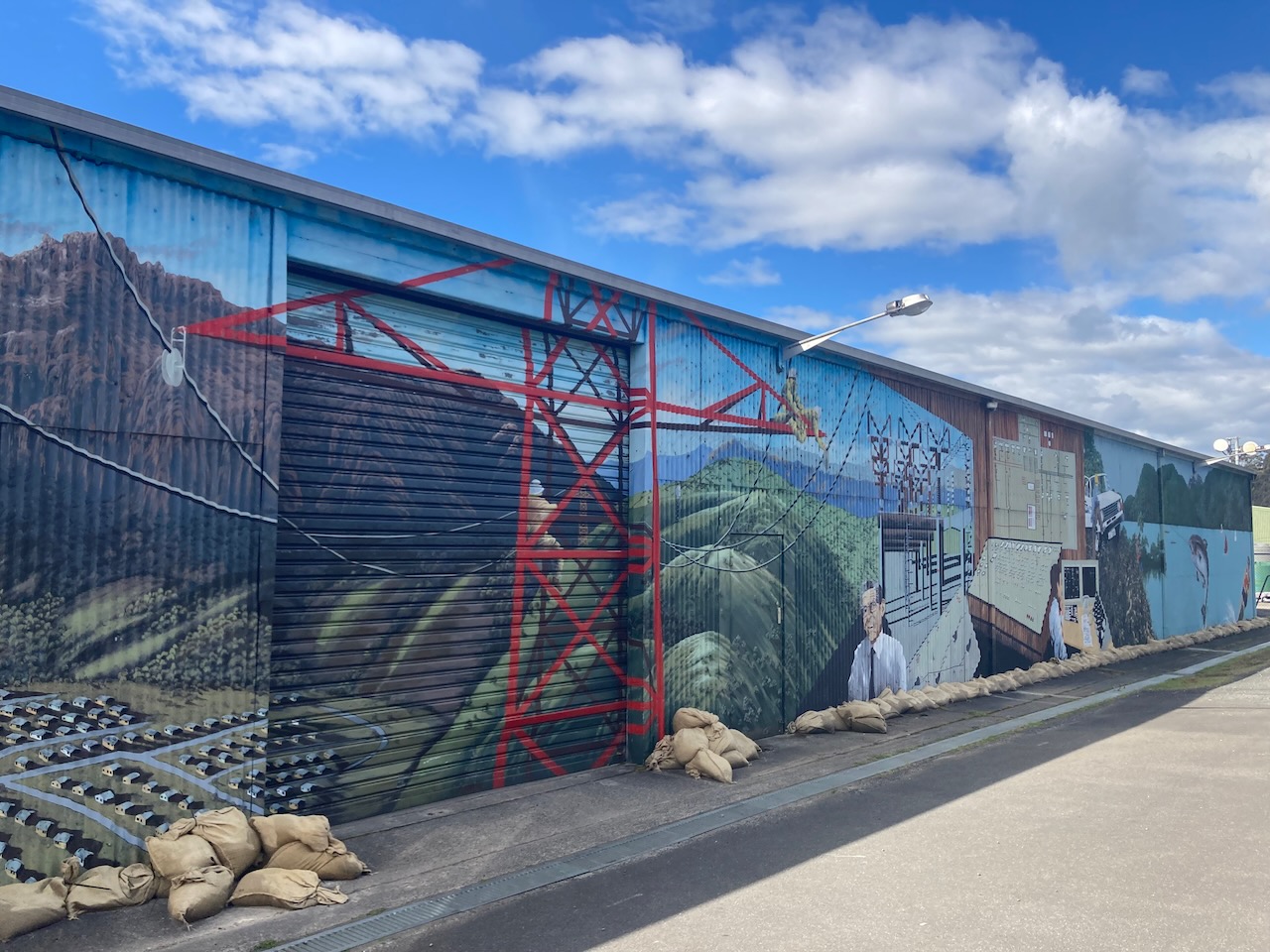
In 2016 the Waratah Wynyard Council commissioned two artists to revitalise the Goldie Street Mural Wall in Wynyard. This was part of the Council’s plans to beautify Wynyard. There are 14 panels depicting various aspects of Wynyard and the surrounding district.
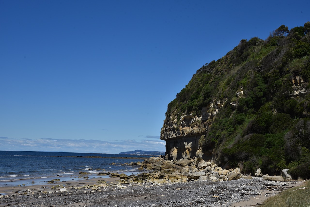
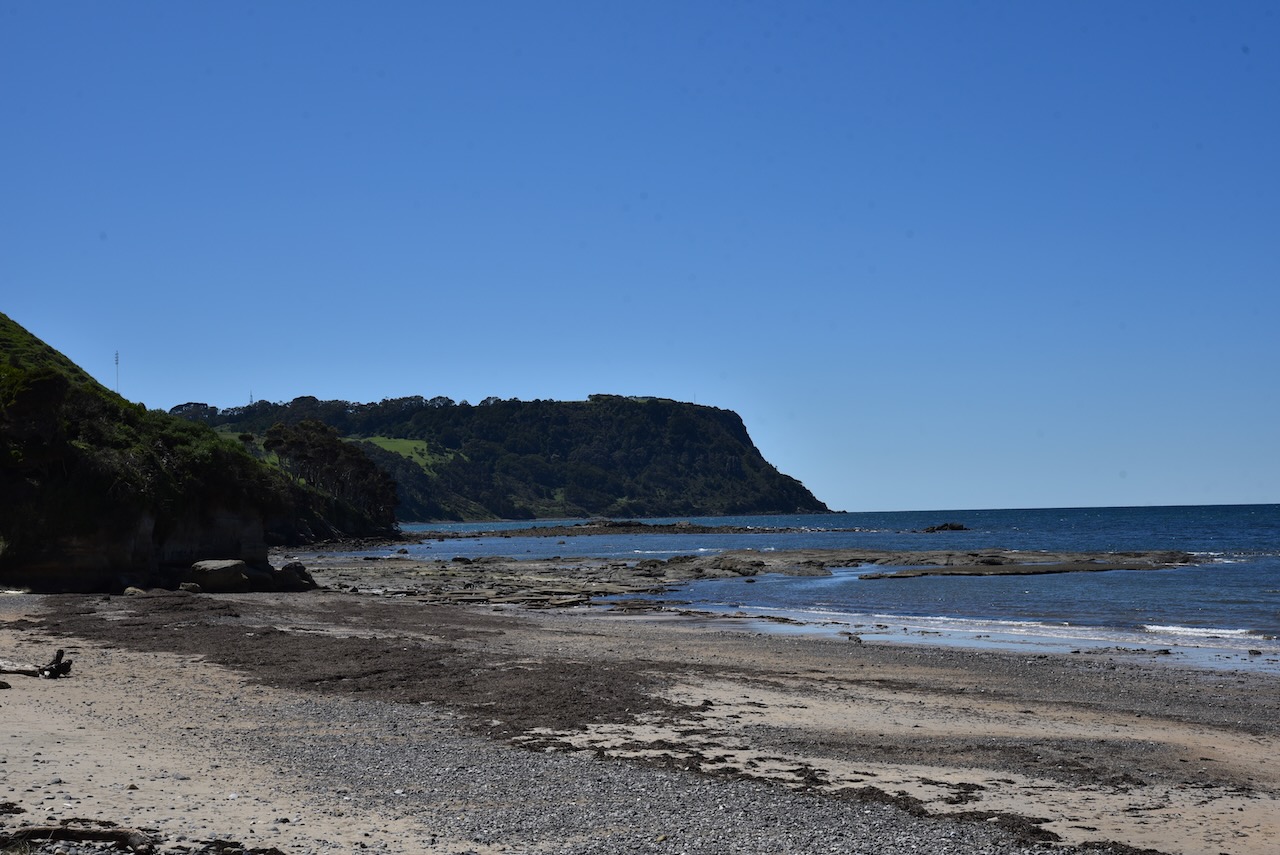
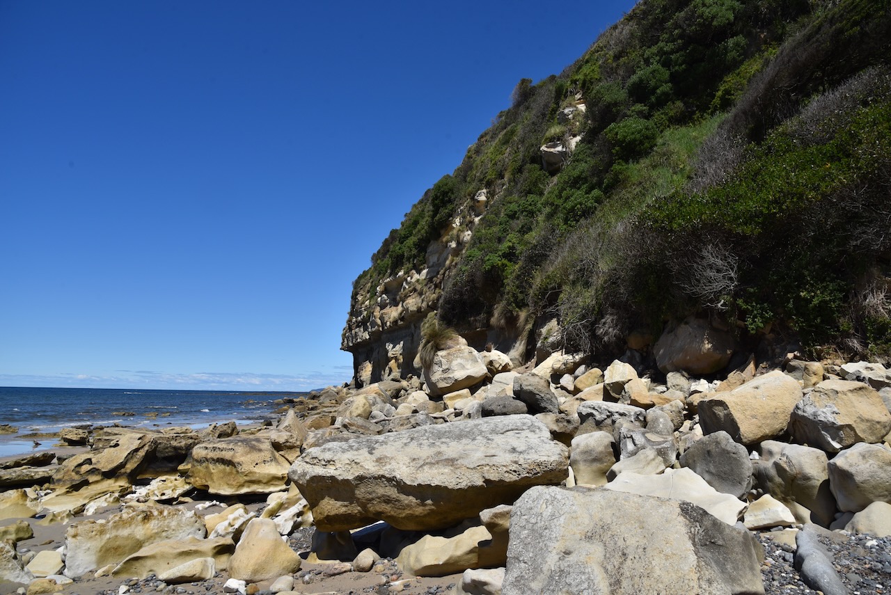
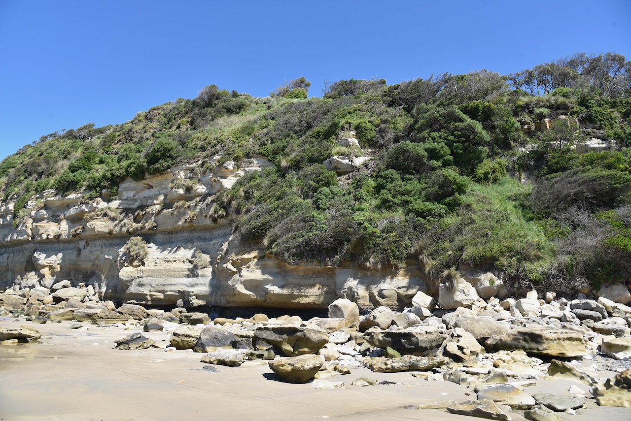
We enjoyed a nice lunch at one of Wynyard’s cafes and we then drove to Fossil Bluff which is a 23 million year old sandstone headland. It was such a beautiful day that we took a stroll along the beach. We had done enough climbing so we decided not to climb to the top of the lookout on the Bluff.
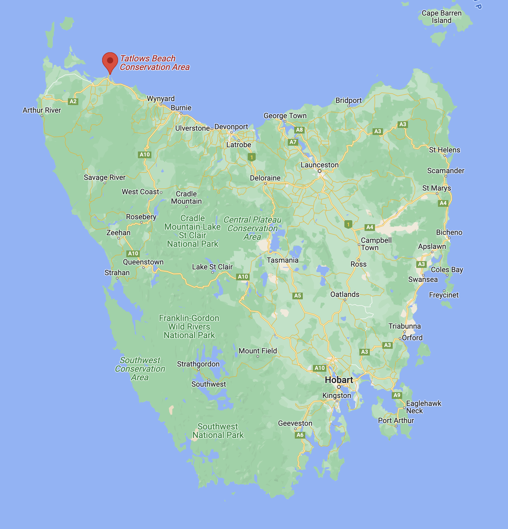
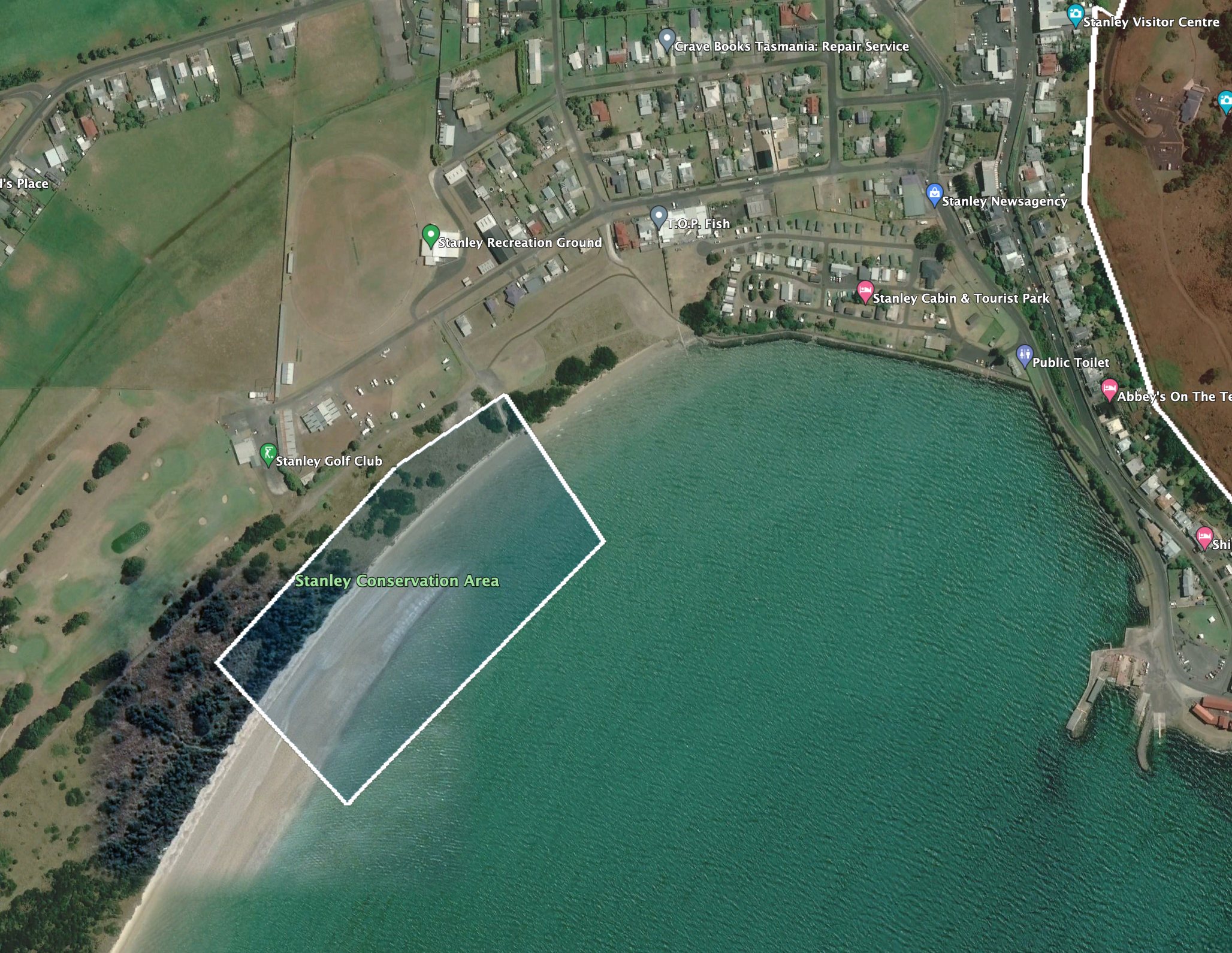
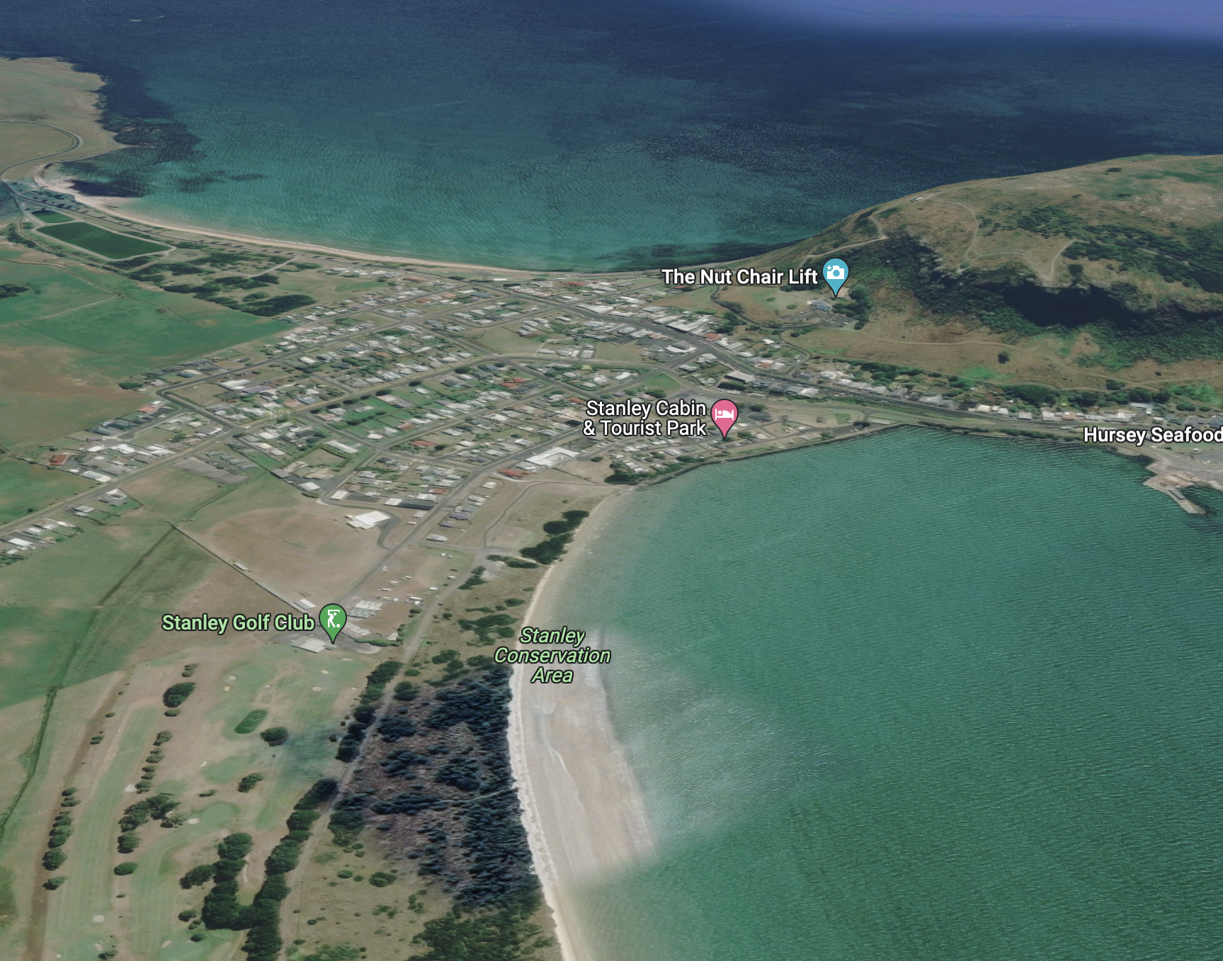
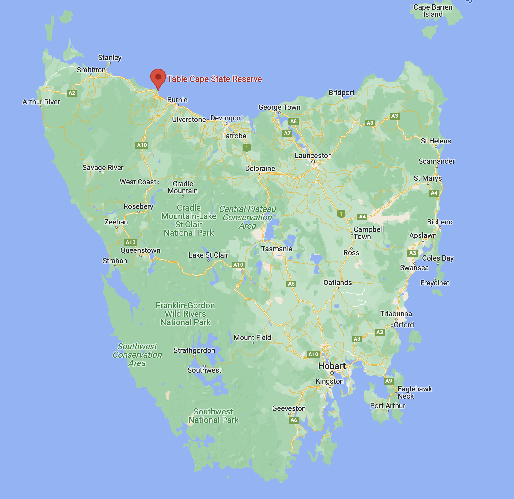
We then headed to the Table Cape State Reserve VKFF-1829.
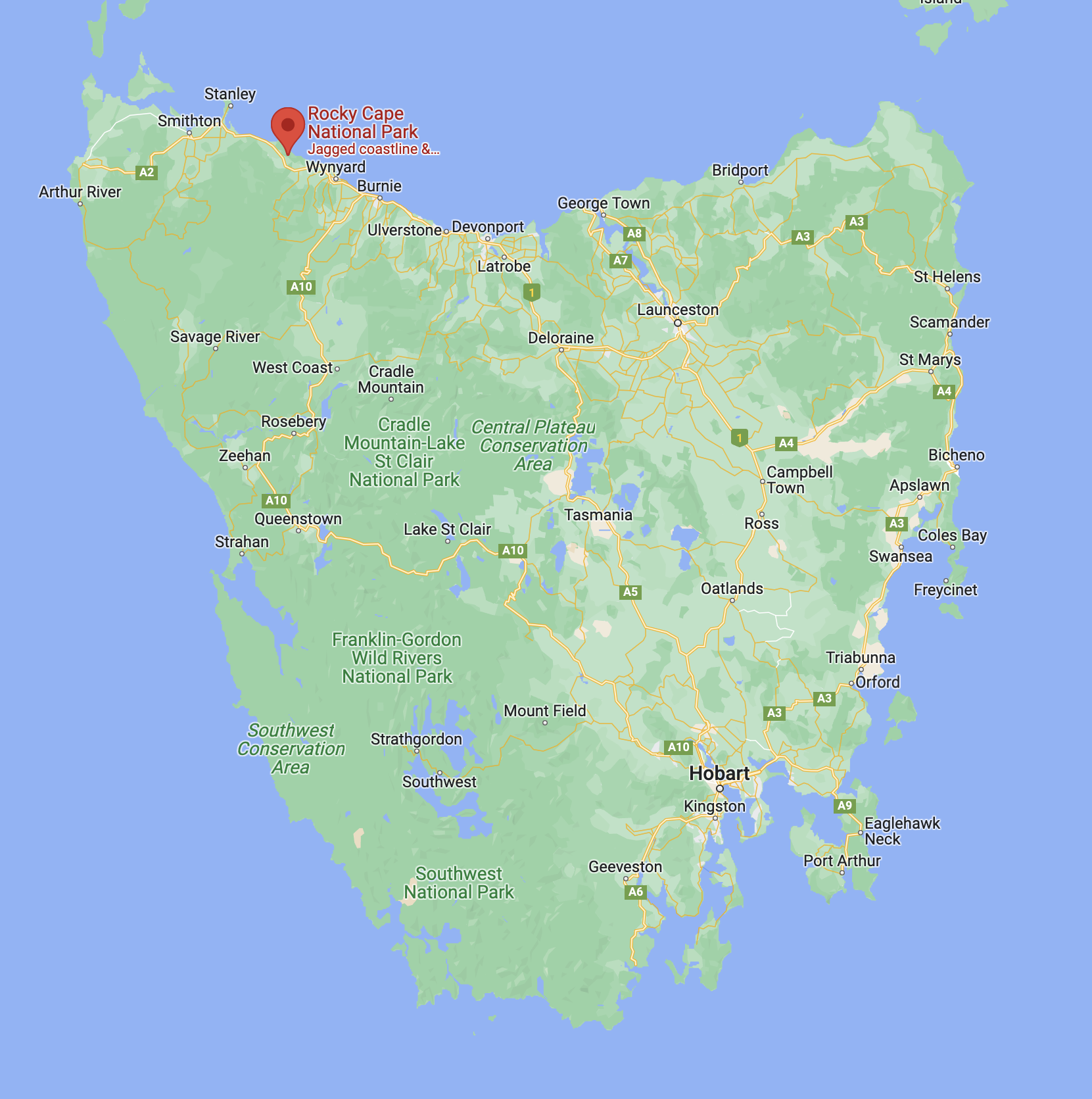
Above:- Map of Tasmania showing the location of Table Cape. Map c/o Google maps.
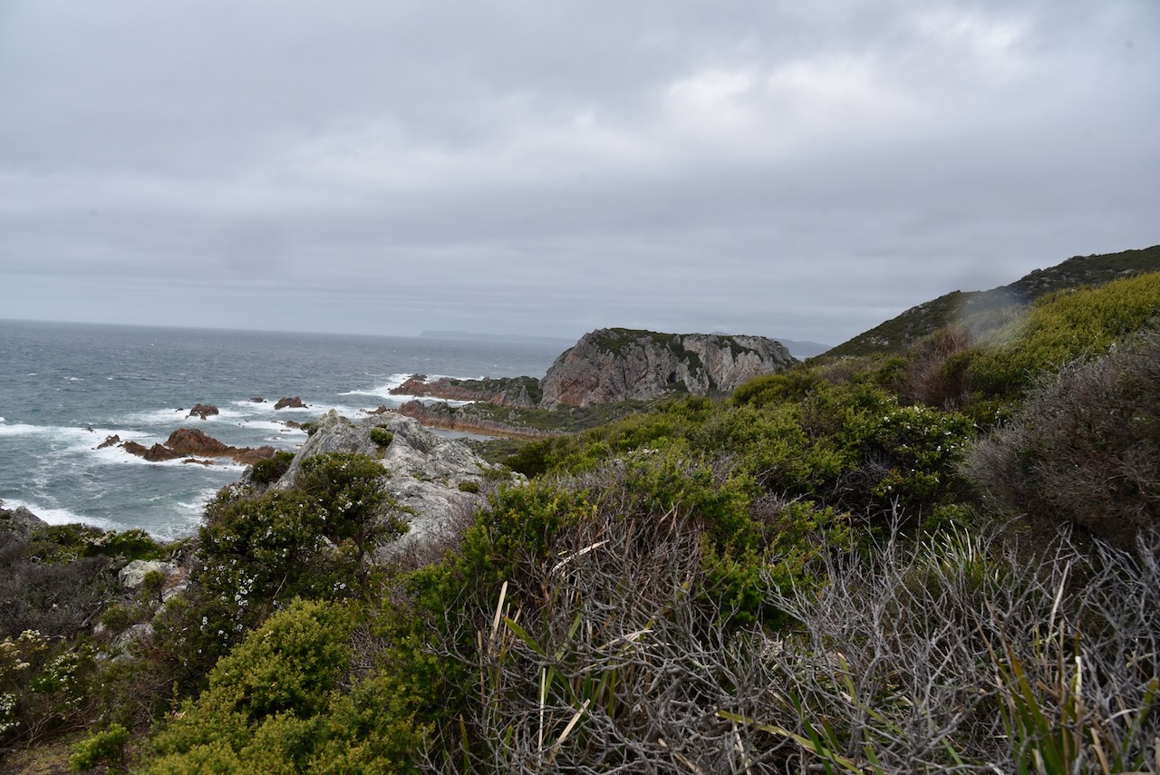
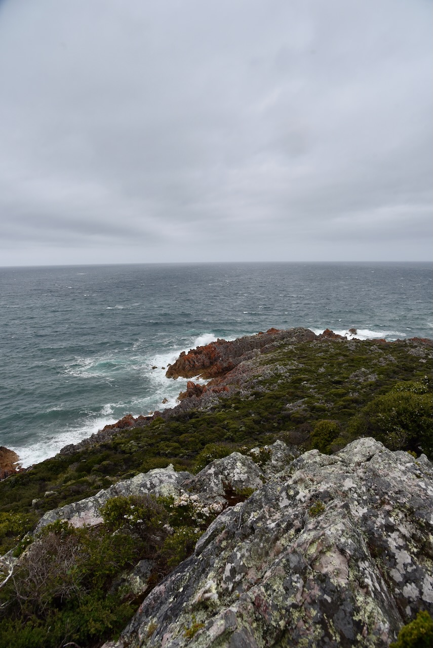
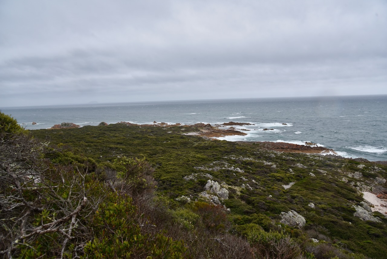
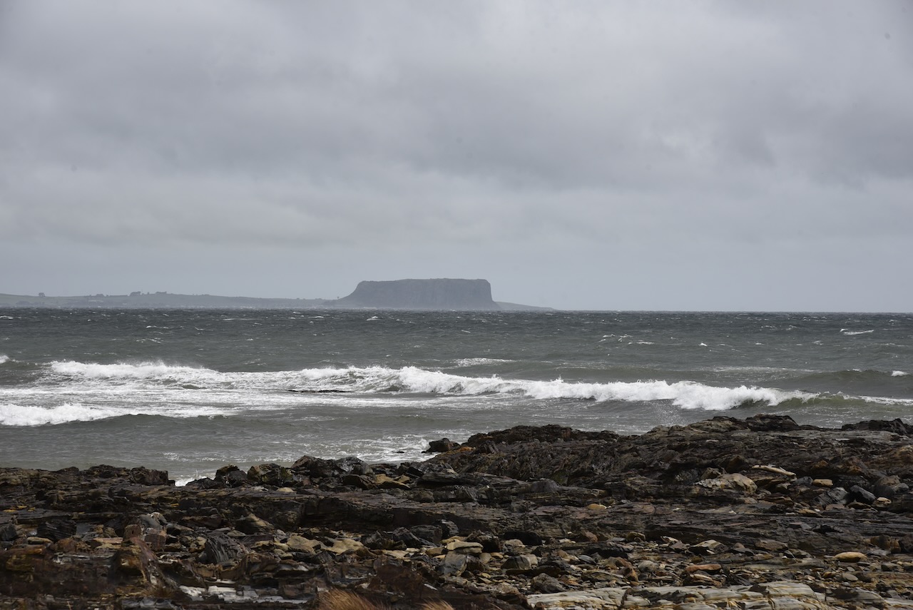
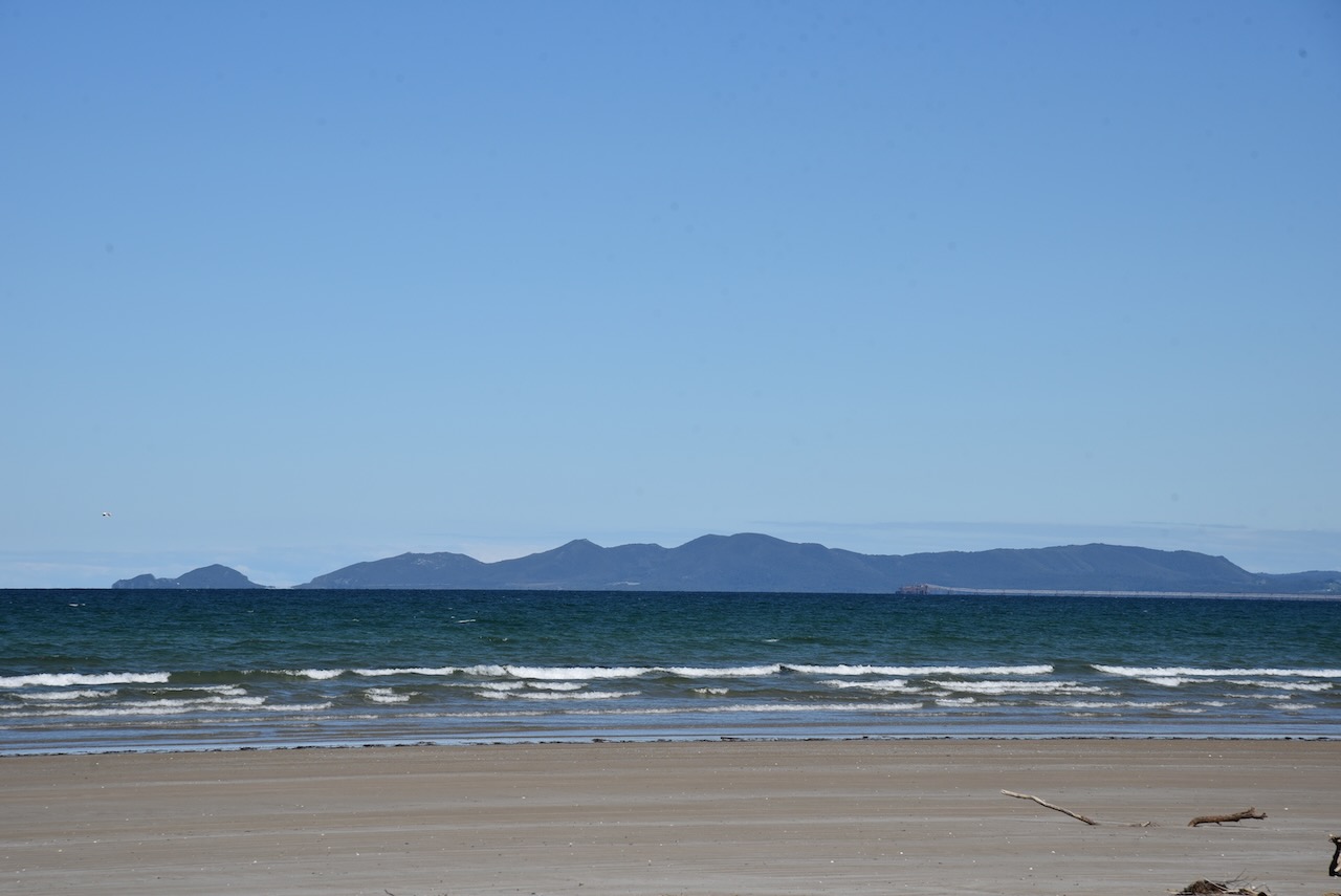
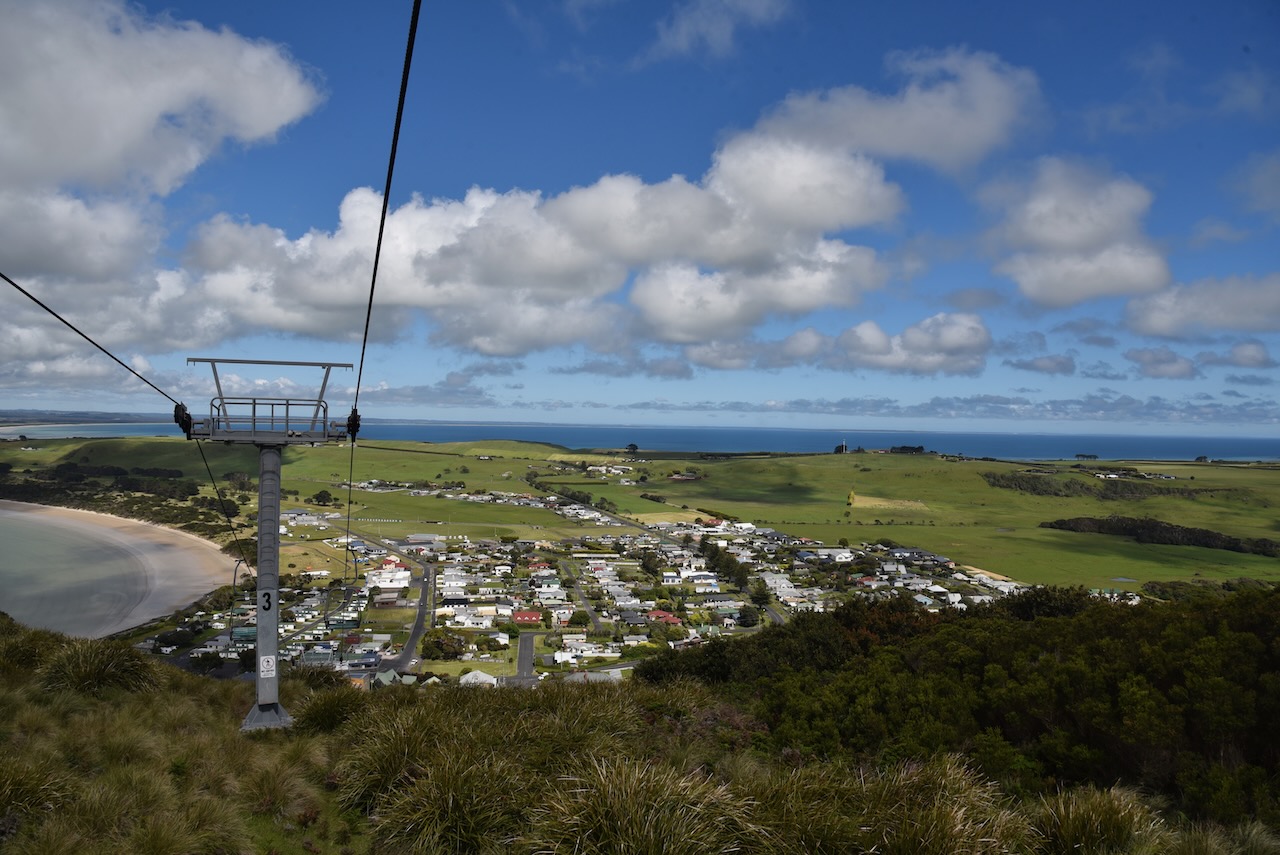
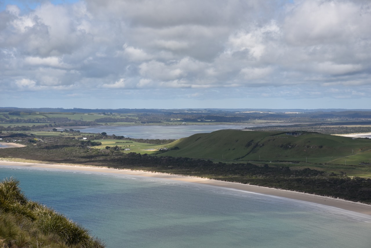
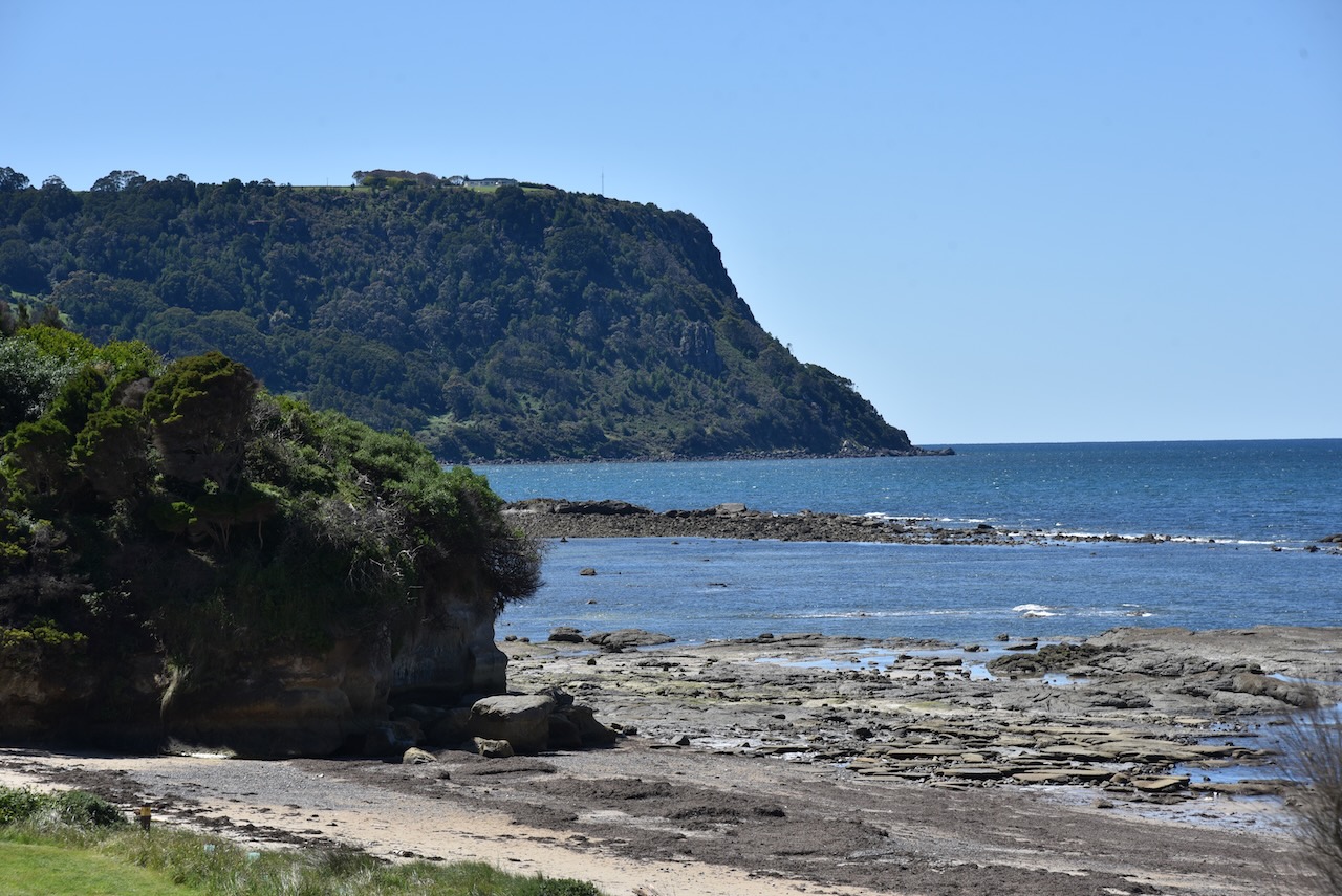
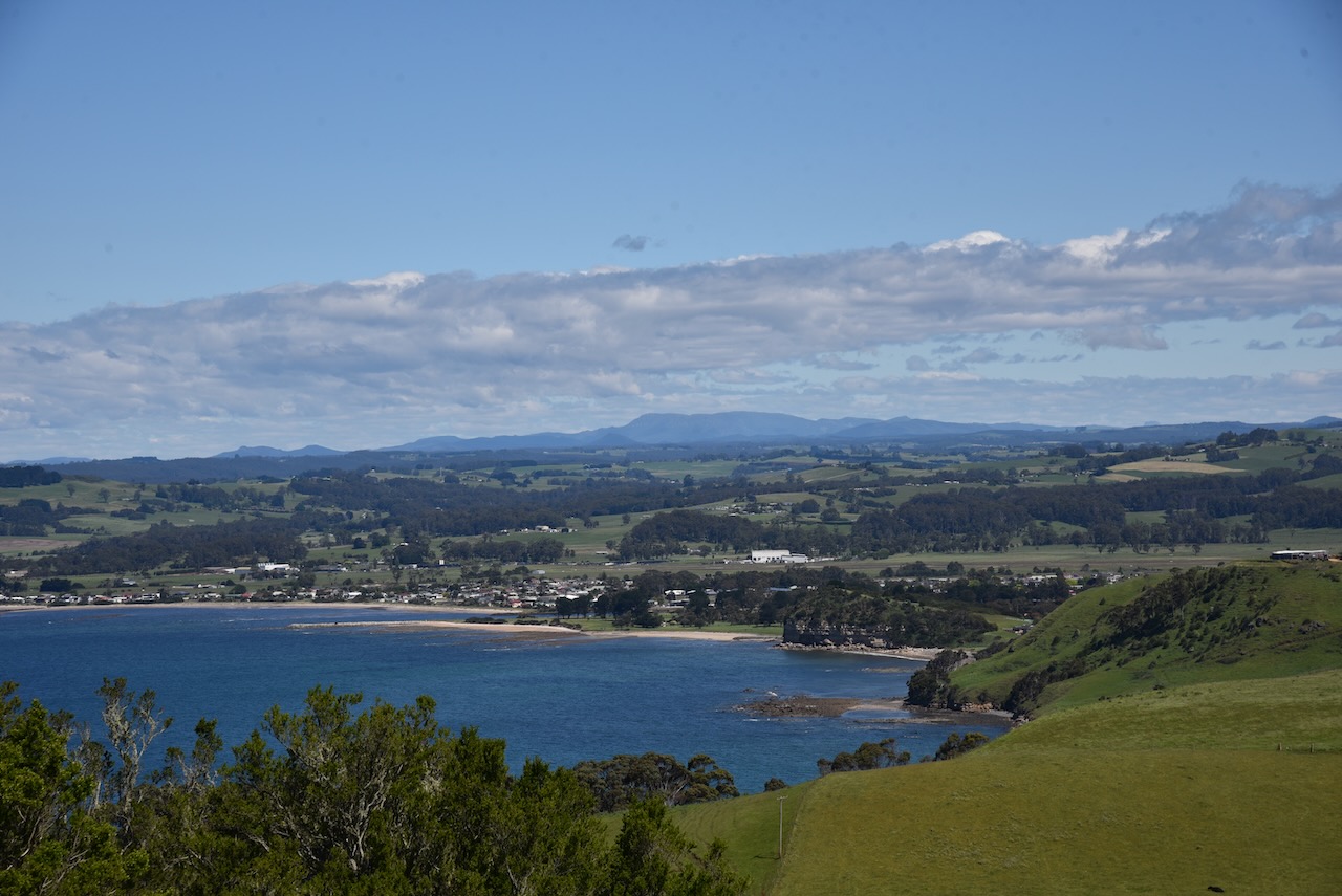
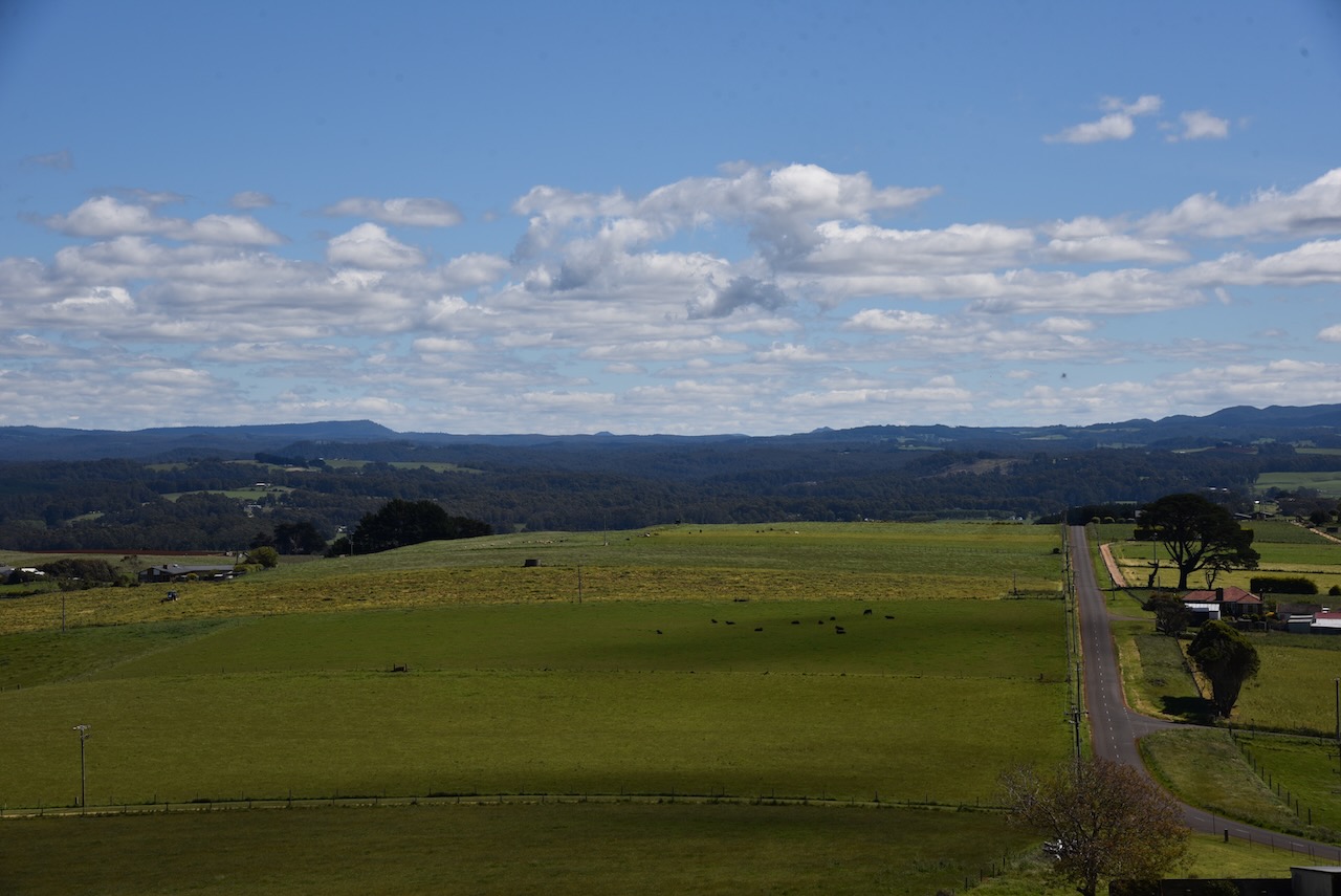
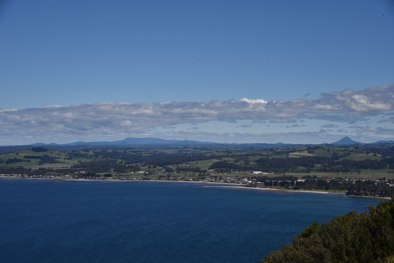
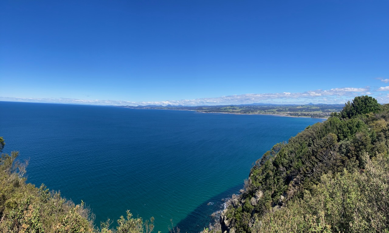
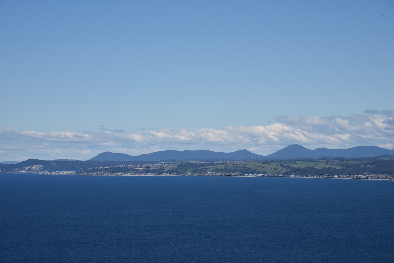
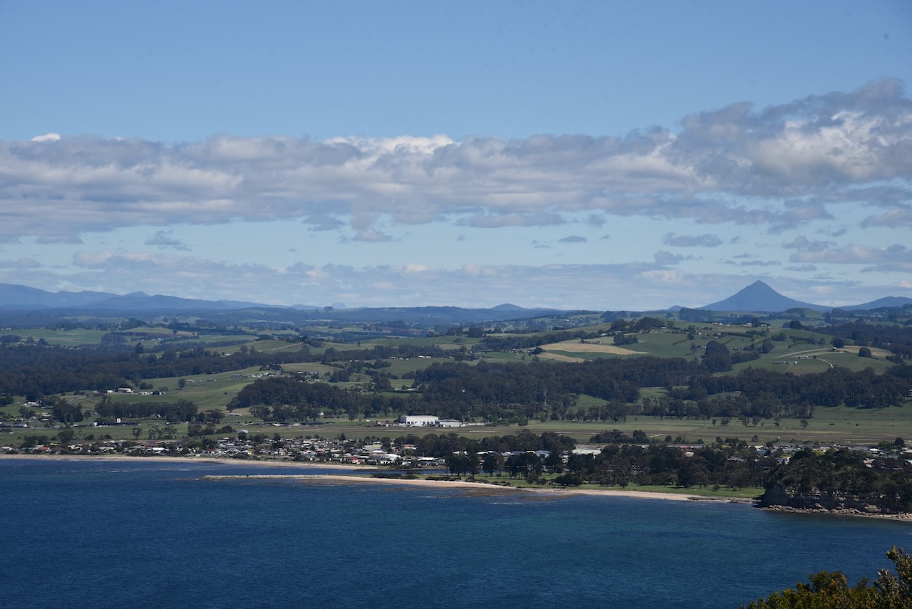
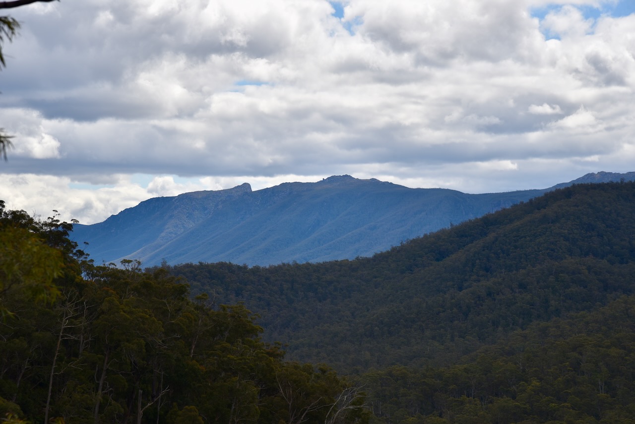
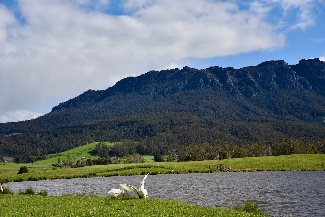
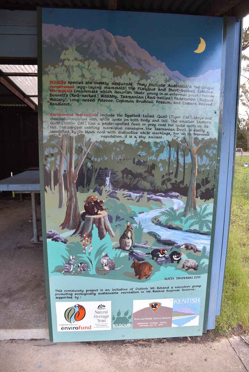
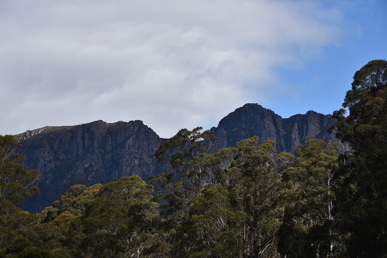
Along the way we stopped off at the Table Cape lookout which offered spectacular views of Wynyard, the coastline, Black Bluff, Mount Roland, and Freestone Cove. The lookout is 170 metres above sea level.
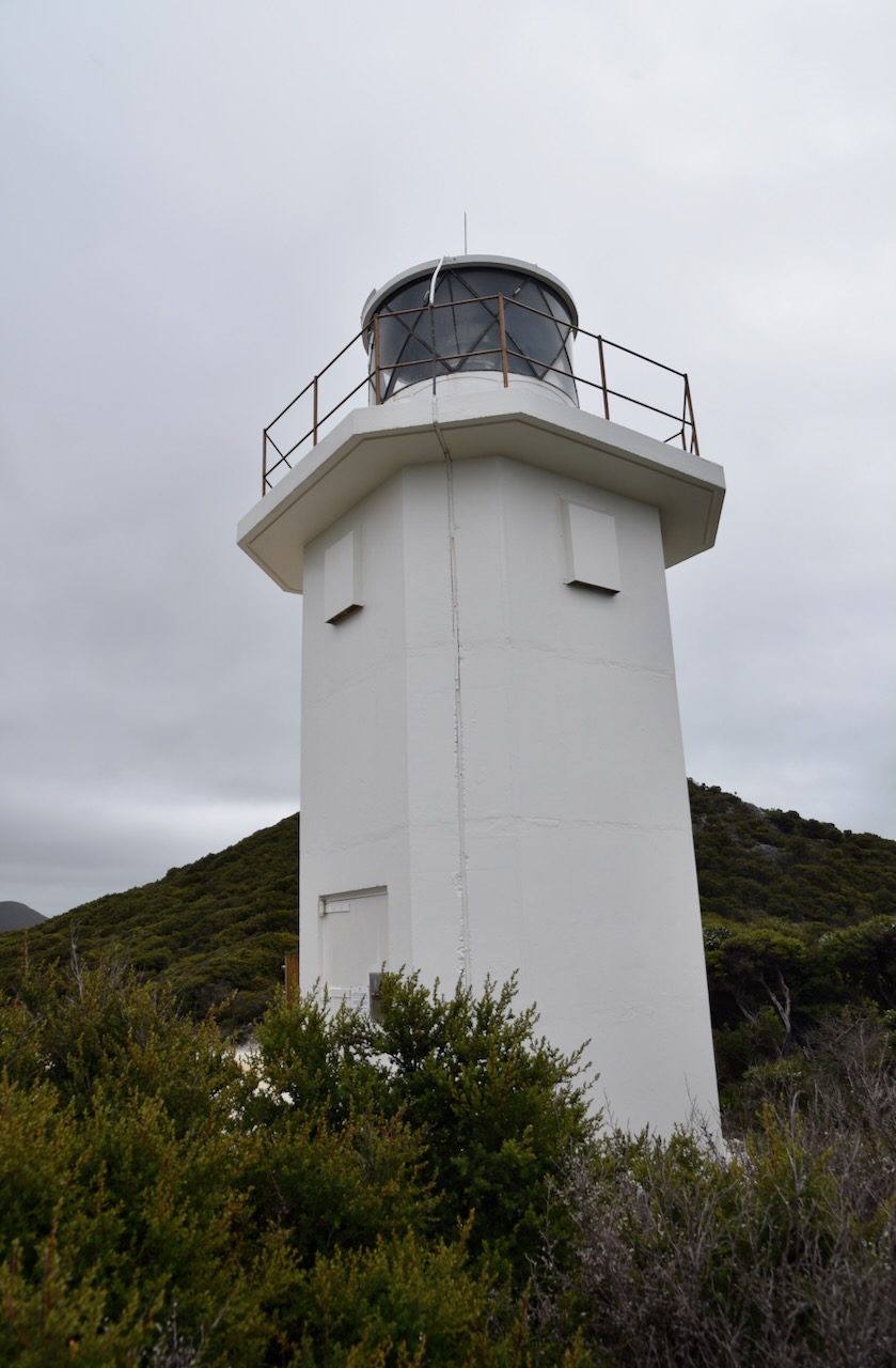
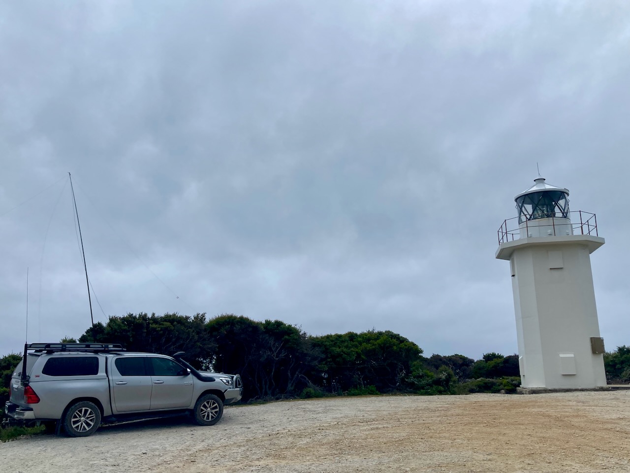
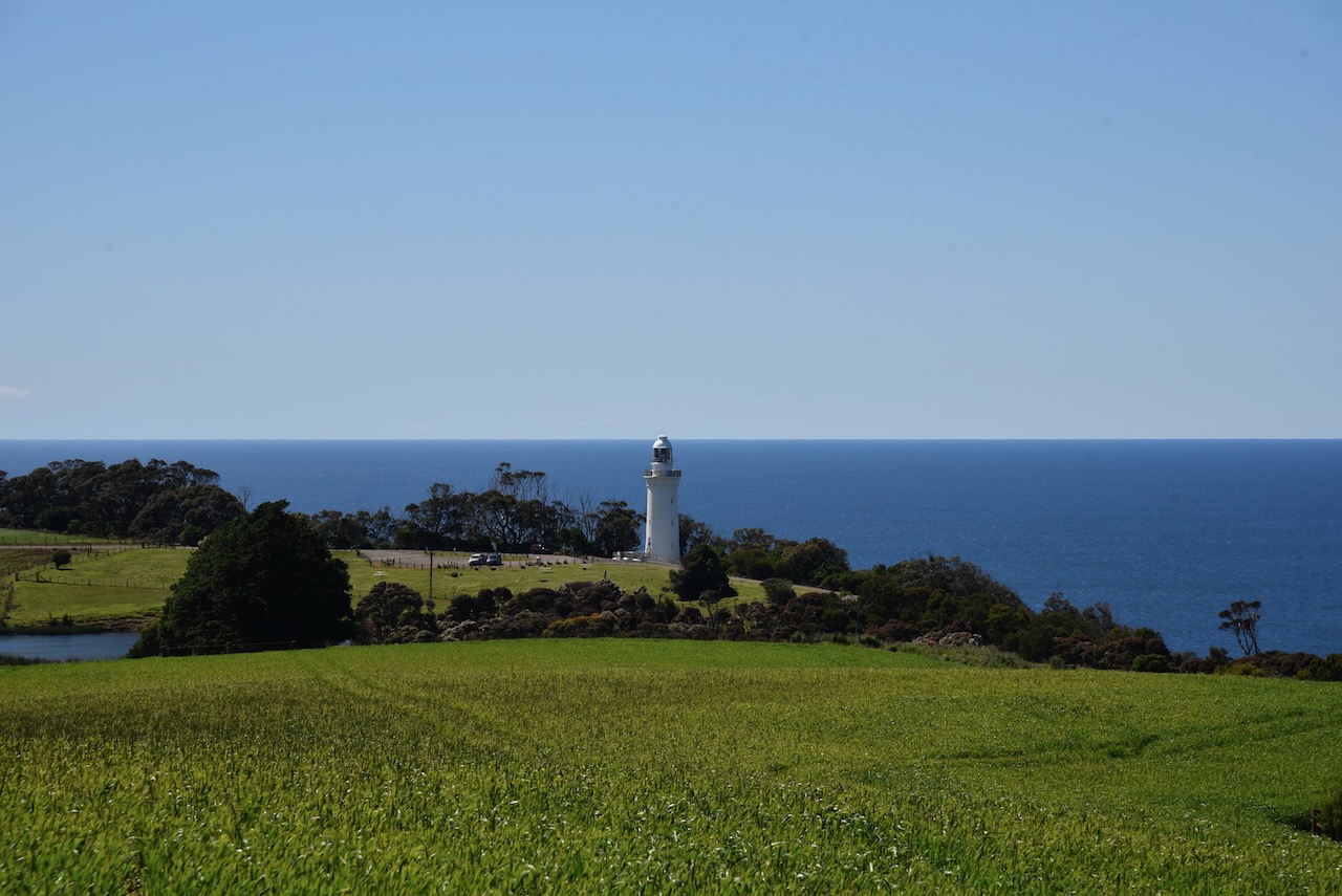
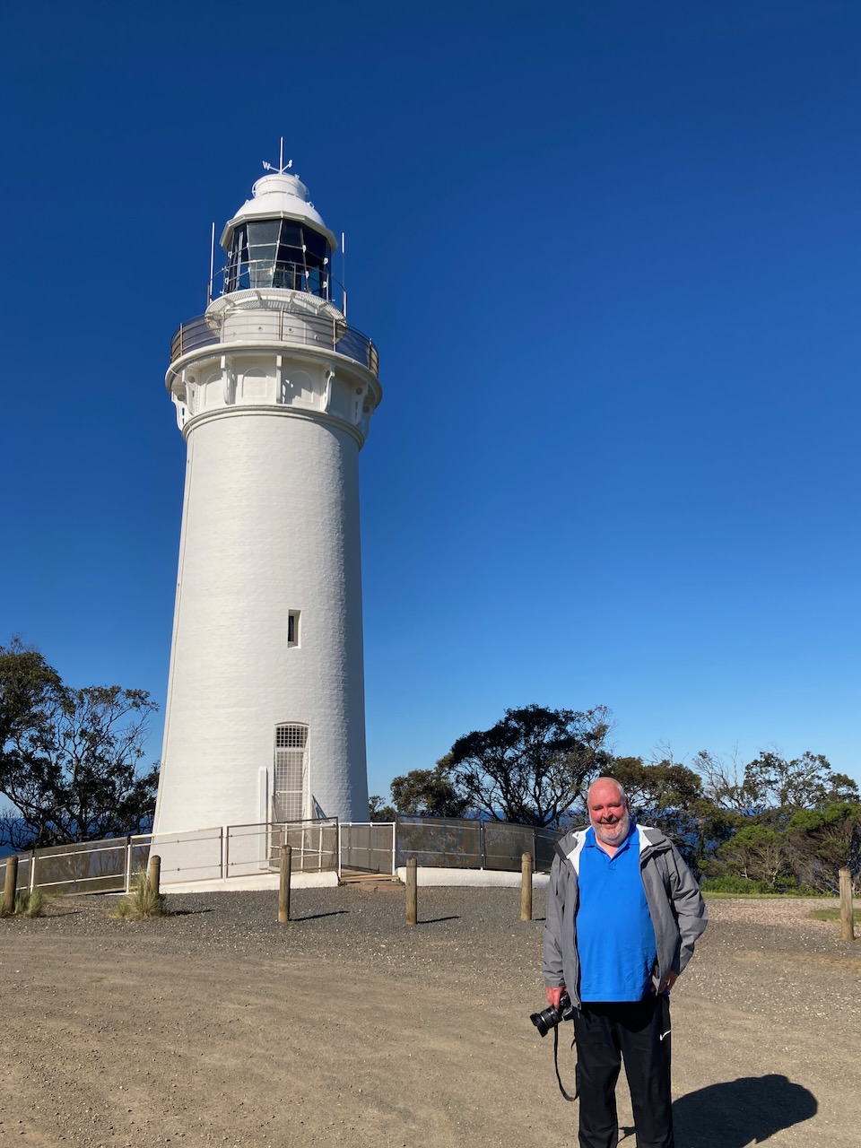
In the opposite direction there was a nice view of the Table Cape lighthouse which is located within the Table Cape State Reserve.
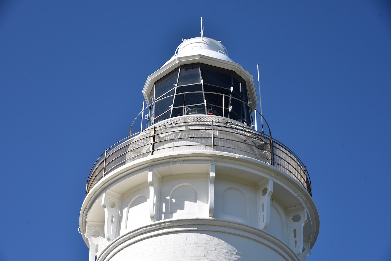
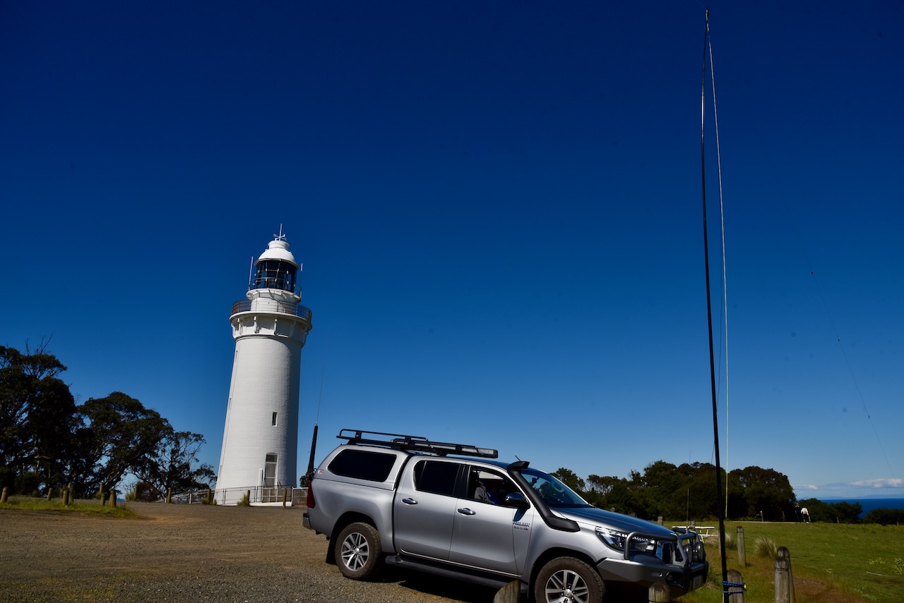
The Table Cape lighthouse stands at 25 metres high and had a diameter at the base of 28 feet. It was first lit on the 1st day of August 1888. It was built following the wrecks of the Emma Prescott in 1867 and the Orson in 1884. The lighthouse was designed by Huckson and Hutchinson of Hobart, with the light being sourced from the Chance Brothers of England. The lighthouse was constructed by a local builder, John Luck.
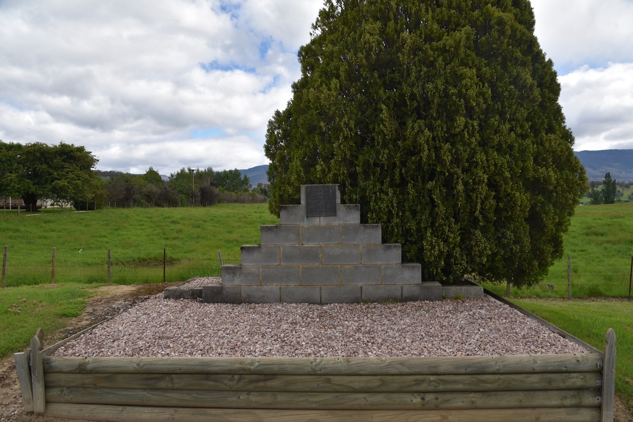
Sadly, just 17 days after the official opening of the lighthouse, the head lighthouse keeper’s 14 month old son died from illness. The young boy was buried near the lighthouse and the gravesite remains today.
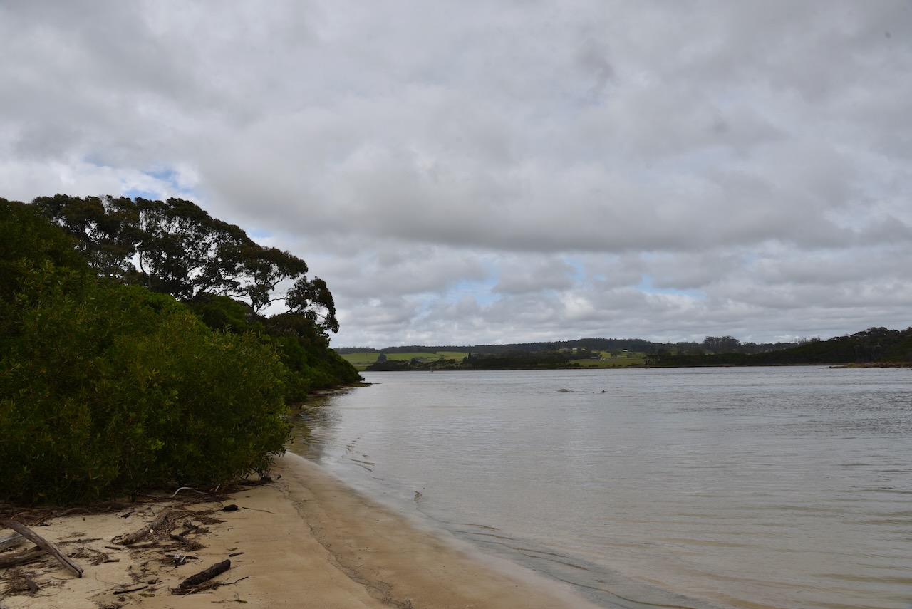
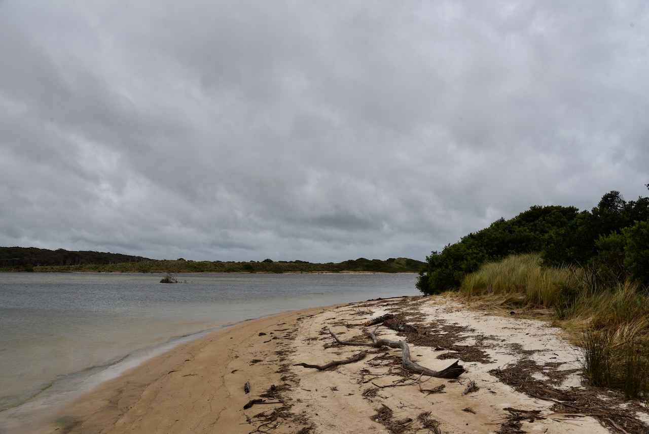
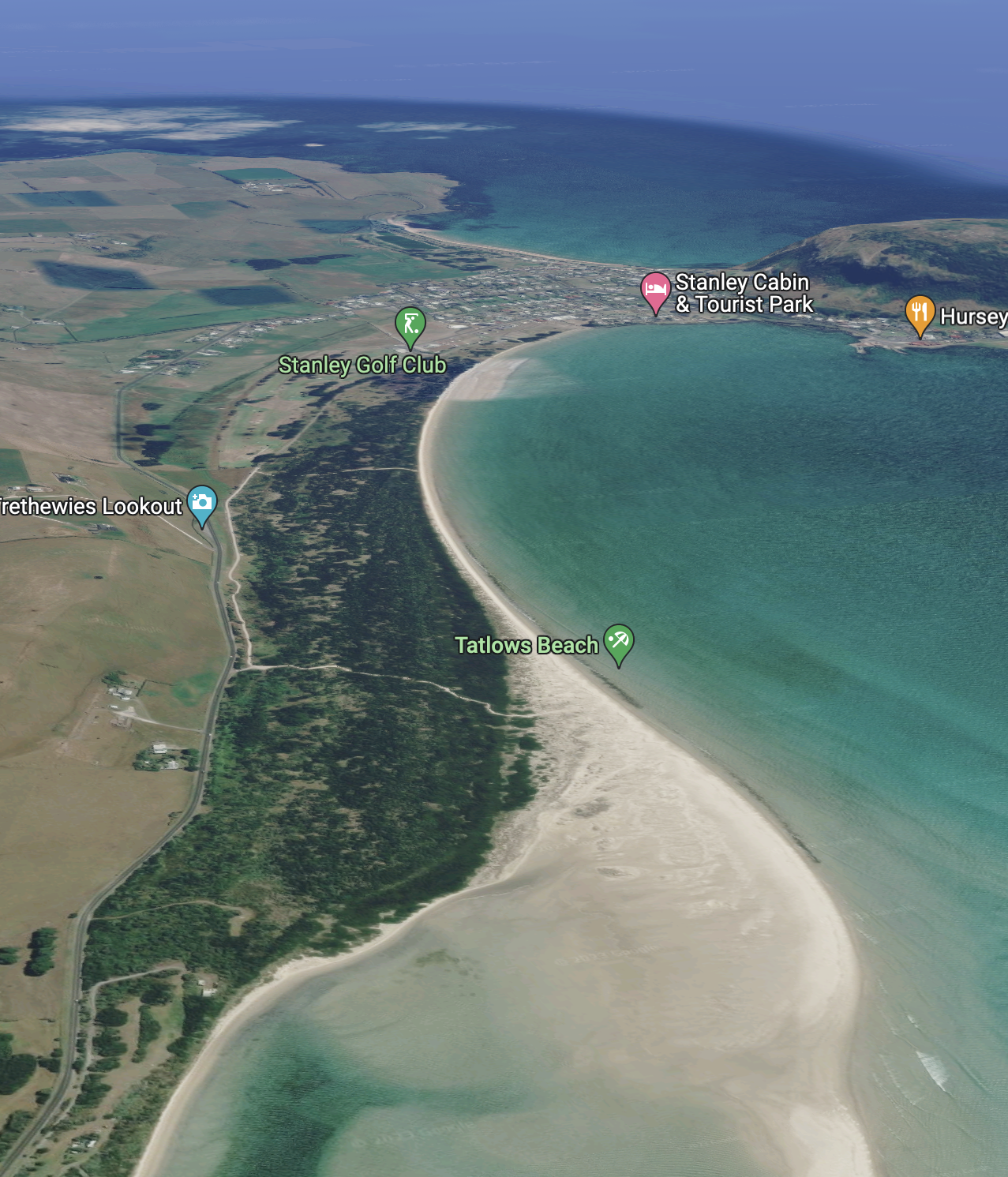
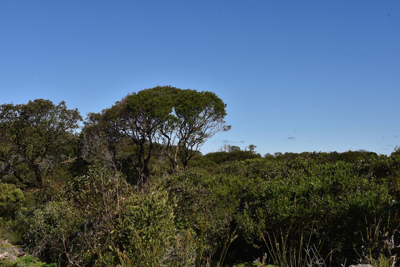
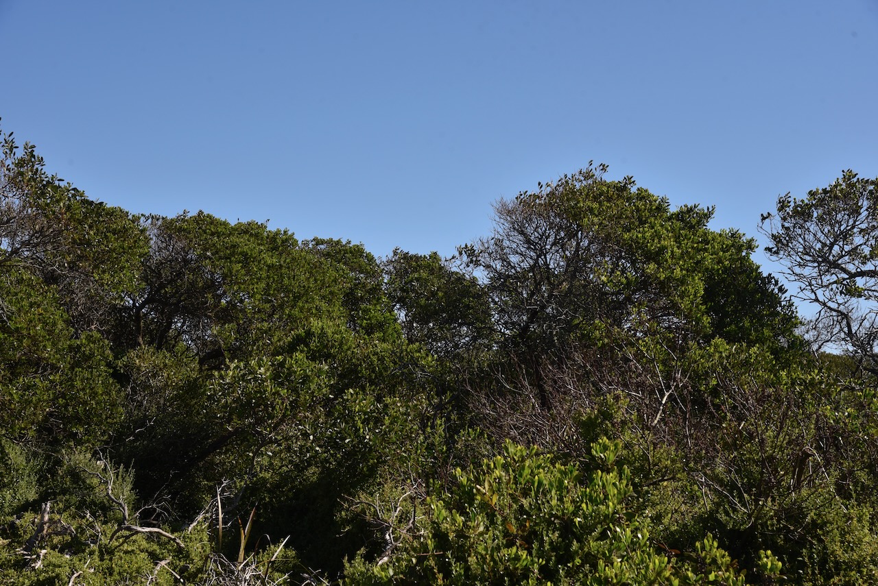
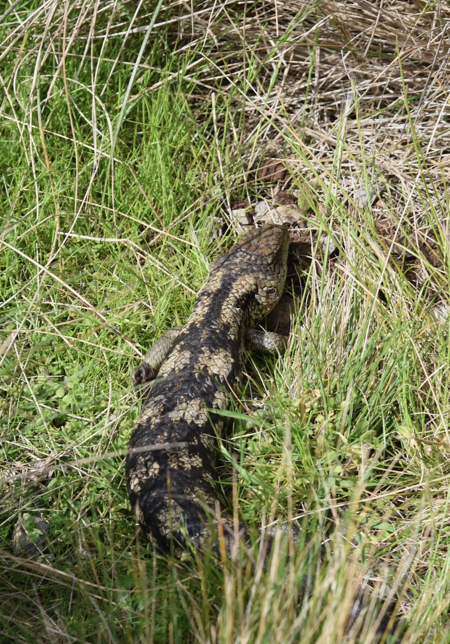
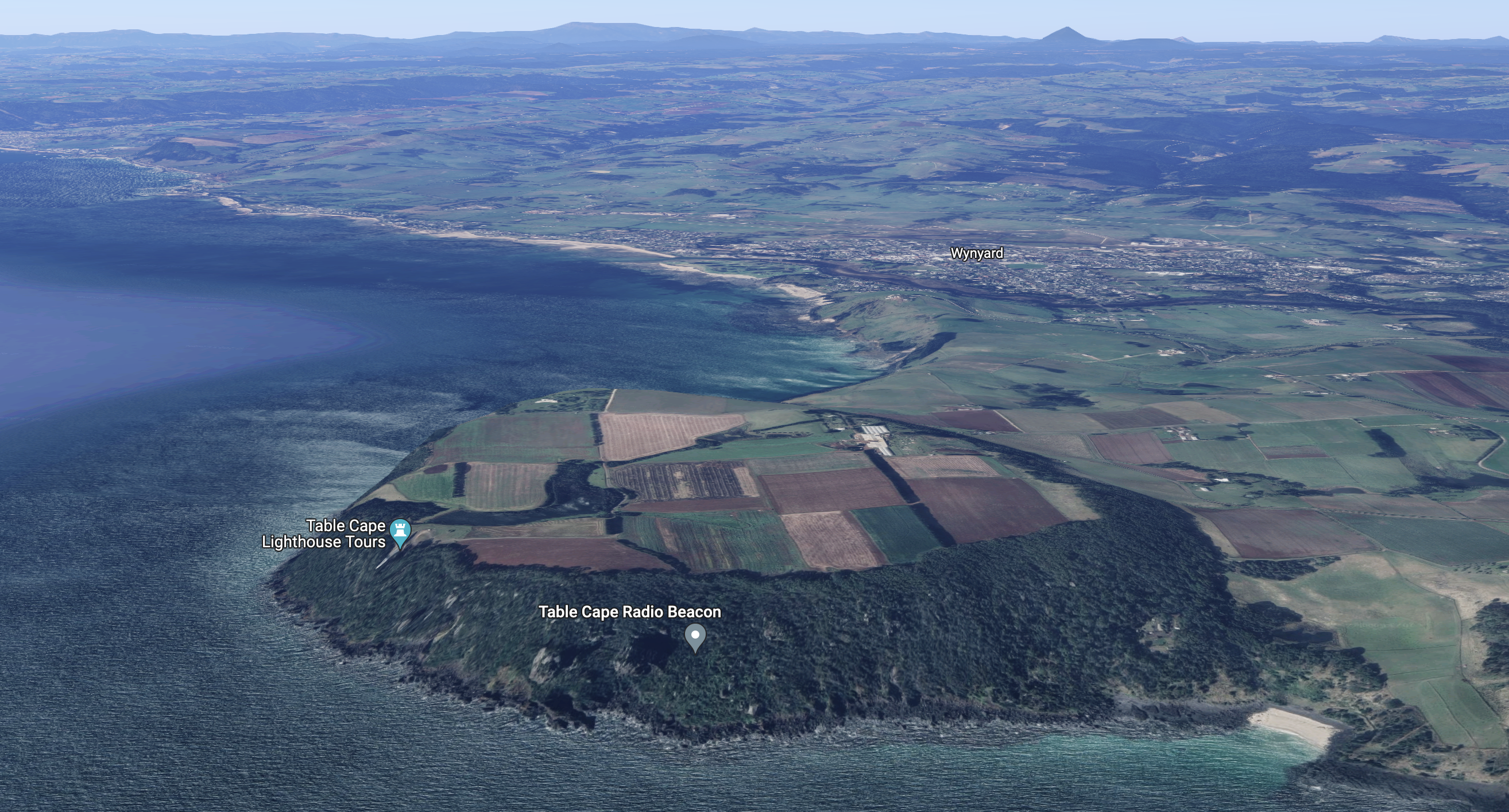
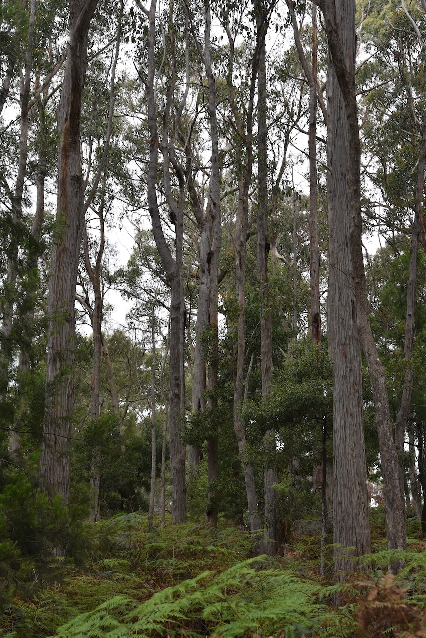
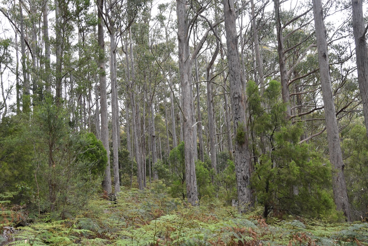
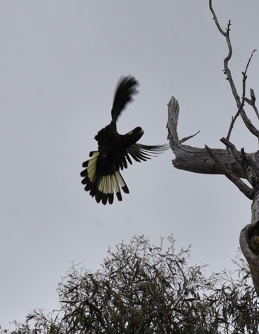
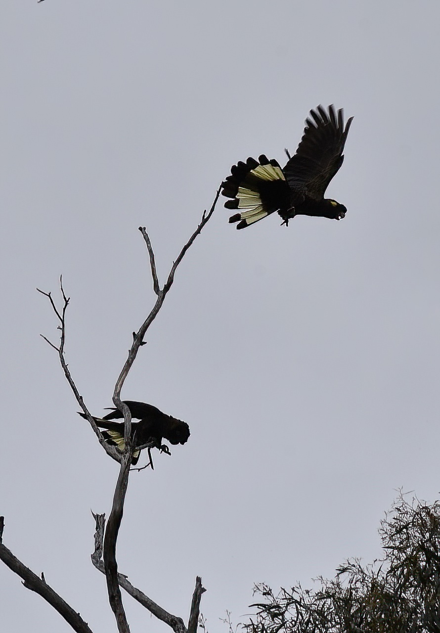
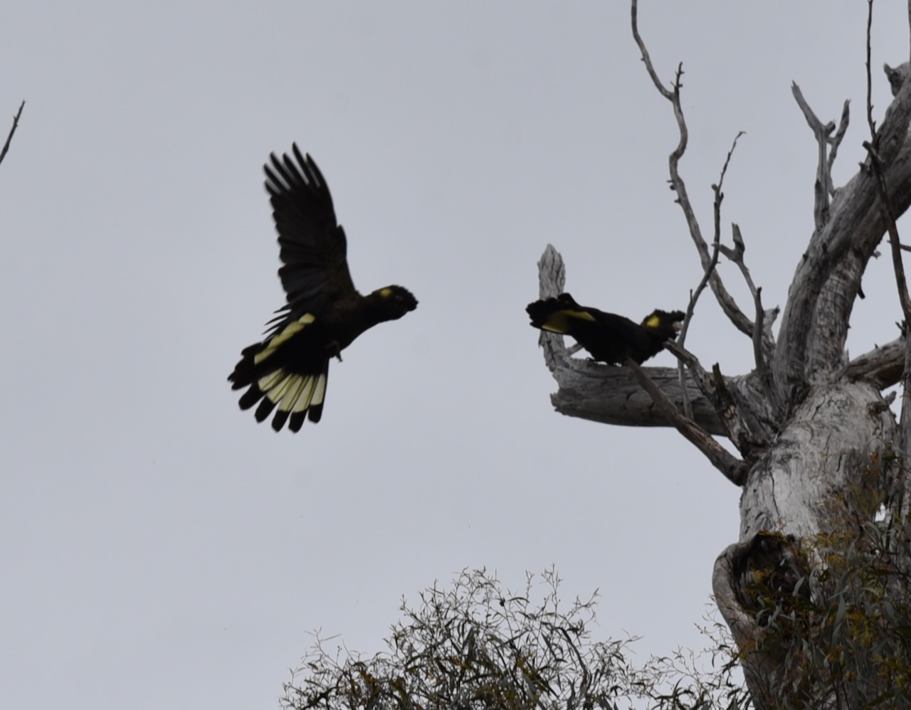
The Table Cape State Reserve is 120 hectares in size. Table Cape is 170 metres above sea level and is an extinct volcano with a flat top. The majority of the Table Cape area and surrounding countryside has been heavily cleared for agricultural purposes. The State Reserve contains dense scrubland which had remained largely untouched by human activity.
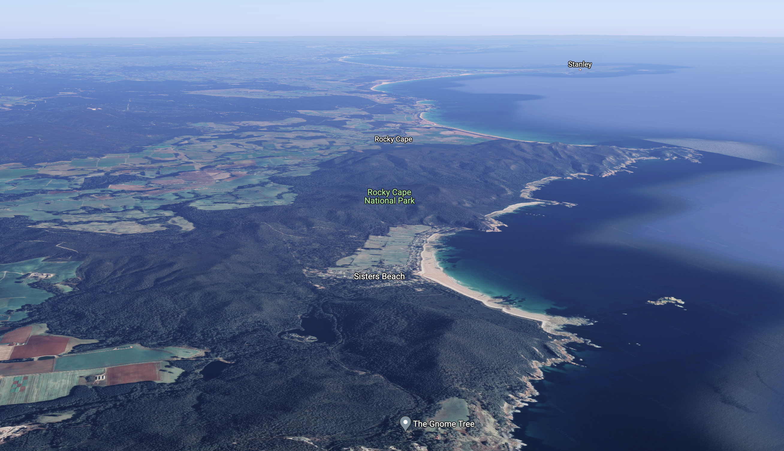
Above:- An aerial view of the Table Cape State Reserve. Image c/o Google maps.
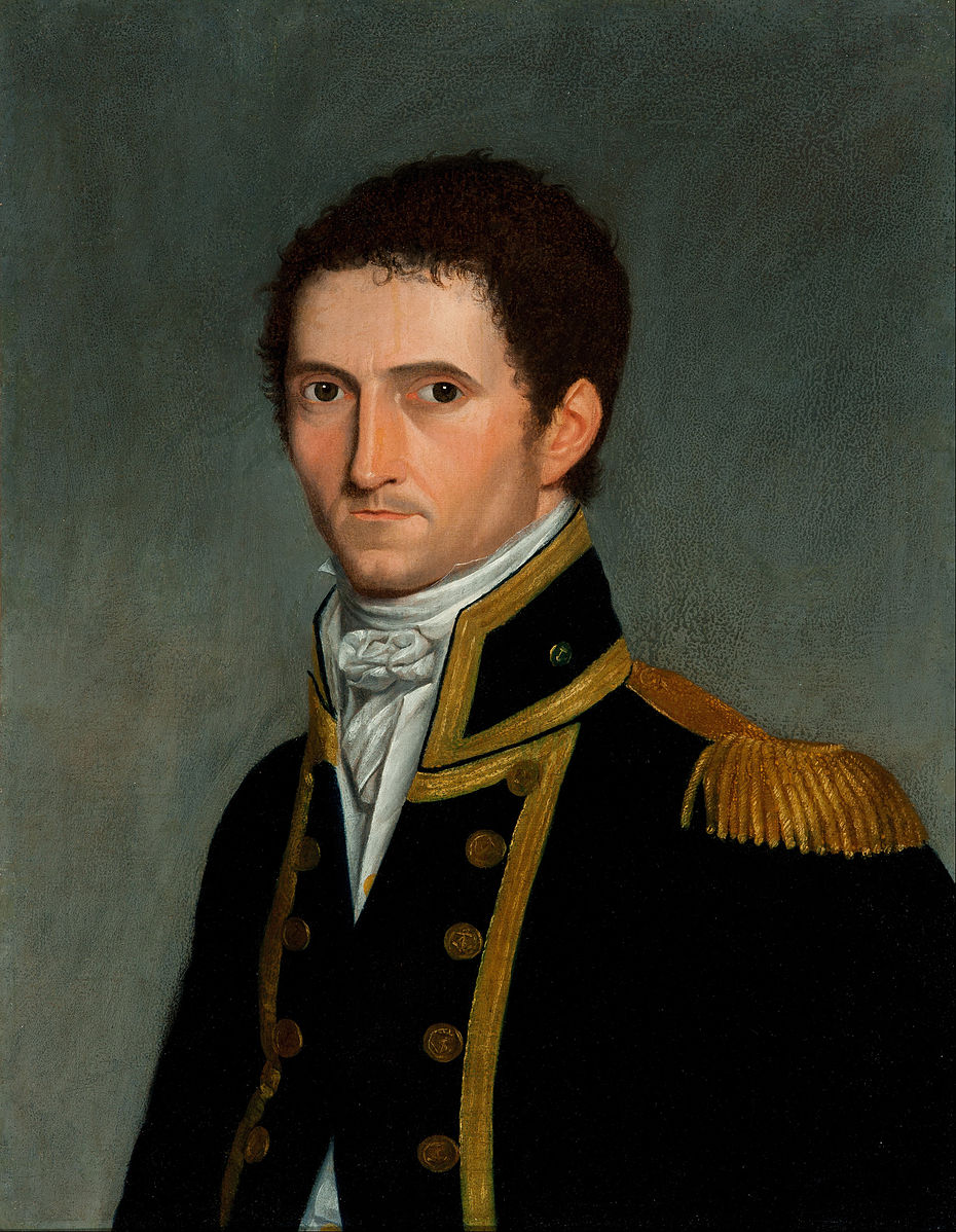
Table Cape was named by navigator and explorer Matthew Flinders in 1798 as he circumnavigated Van Dieman’s Land with George Bass. The area around Table Cape was the traditional home of the Tommeginer aboriginal people. The first European settler at Table Cape was John King who in 1841 selected 200 acres of land on the northern banks of the Inglis River.
Above:- Captain Matthew Flinders. Image c/o Wikipedia.
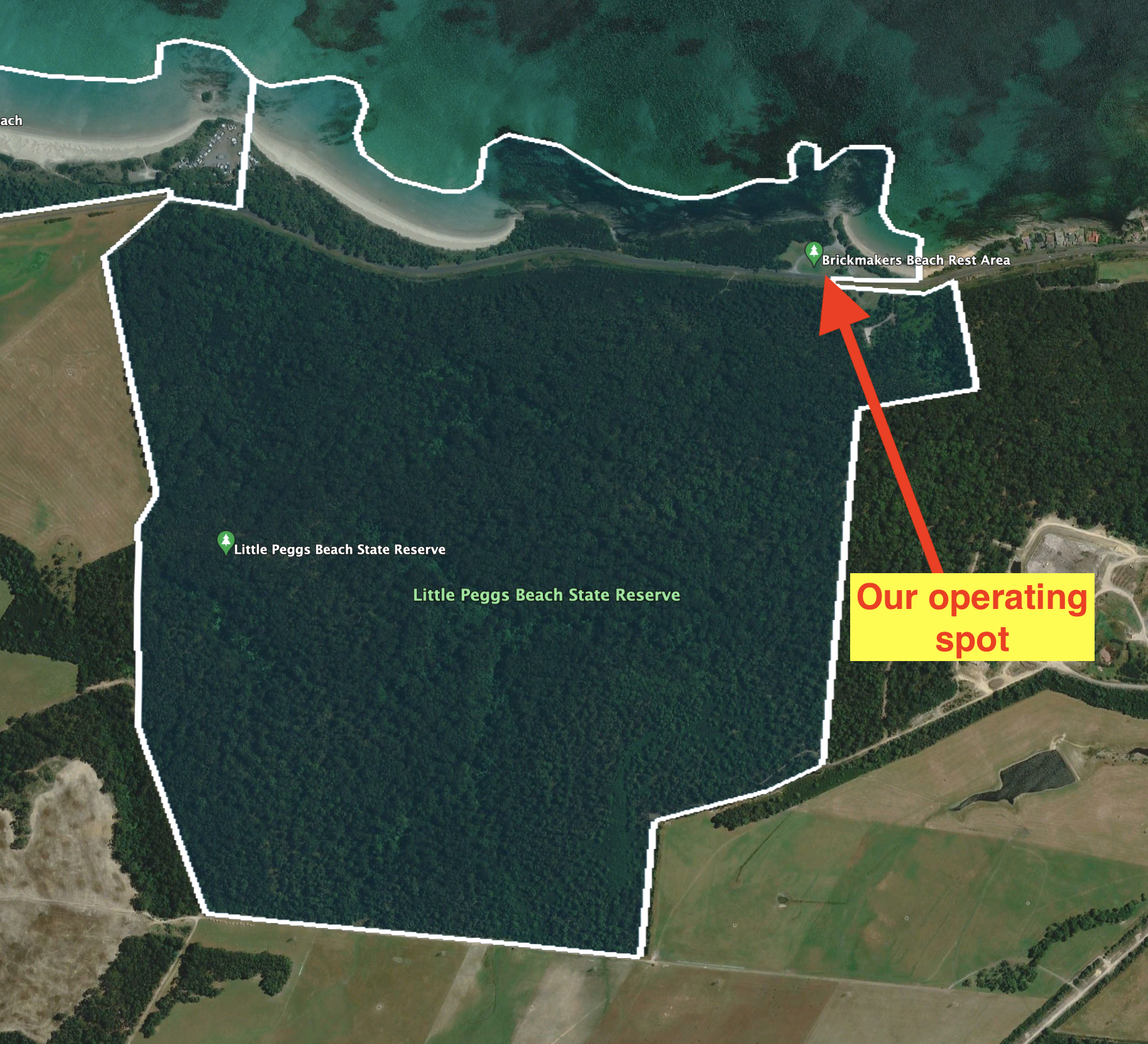
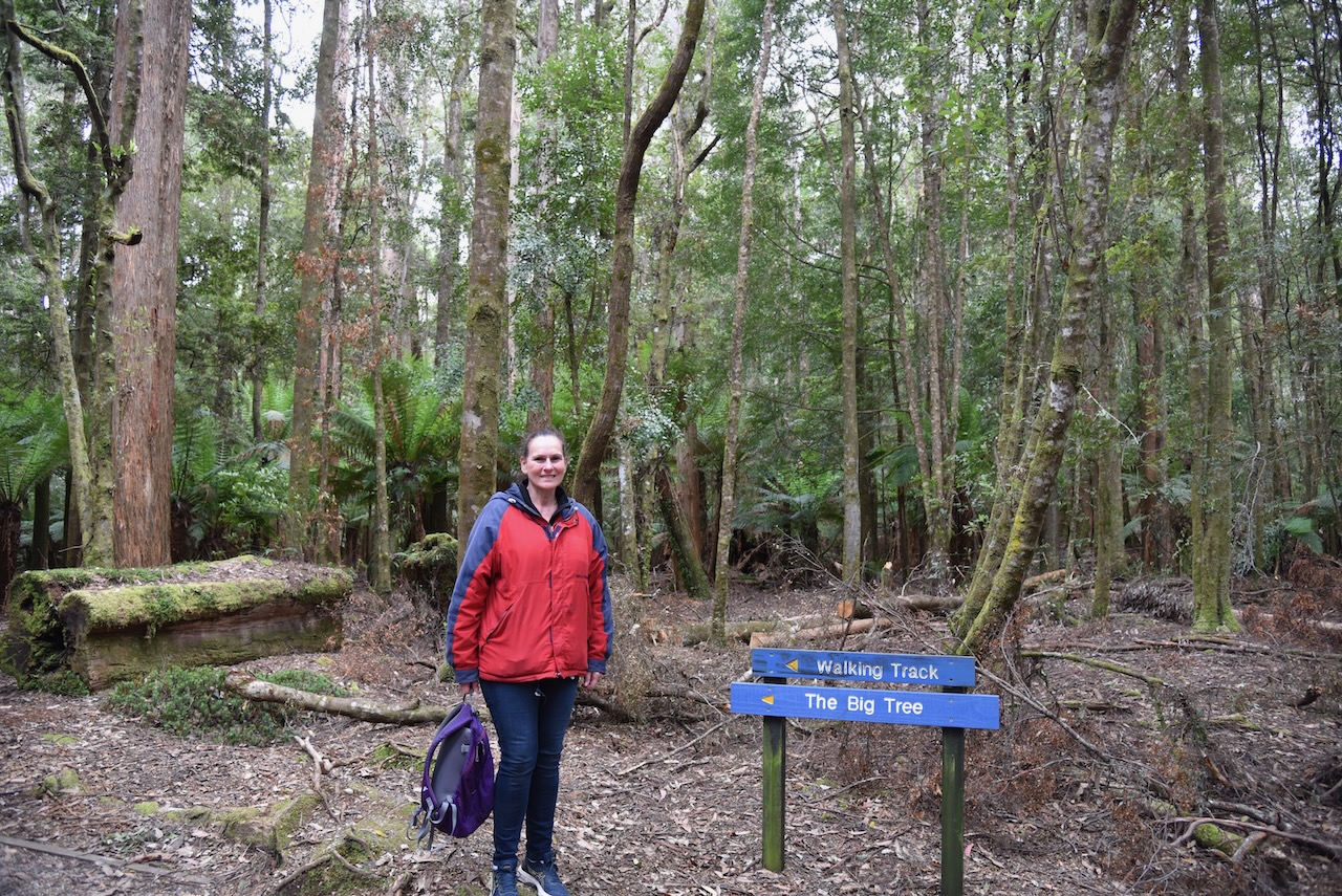
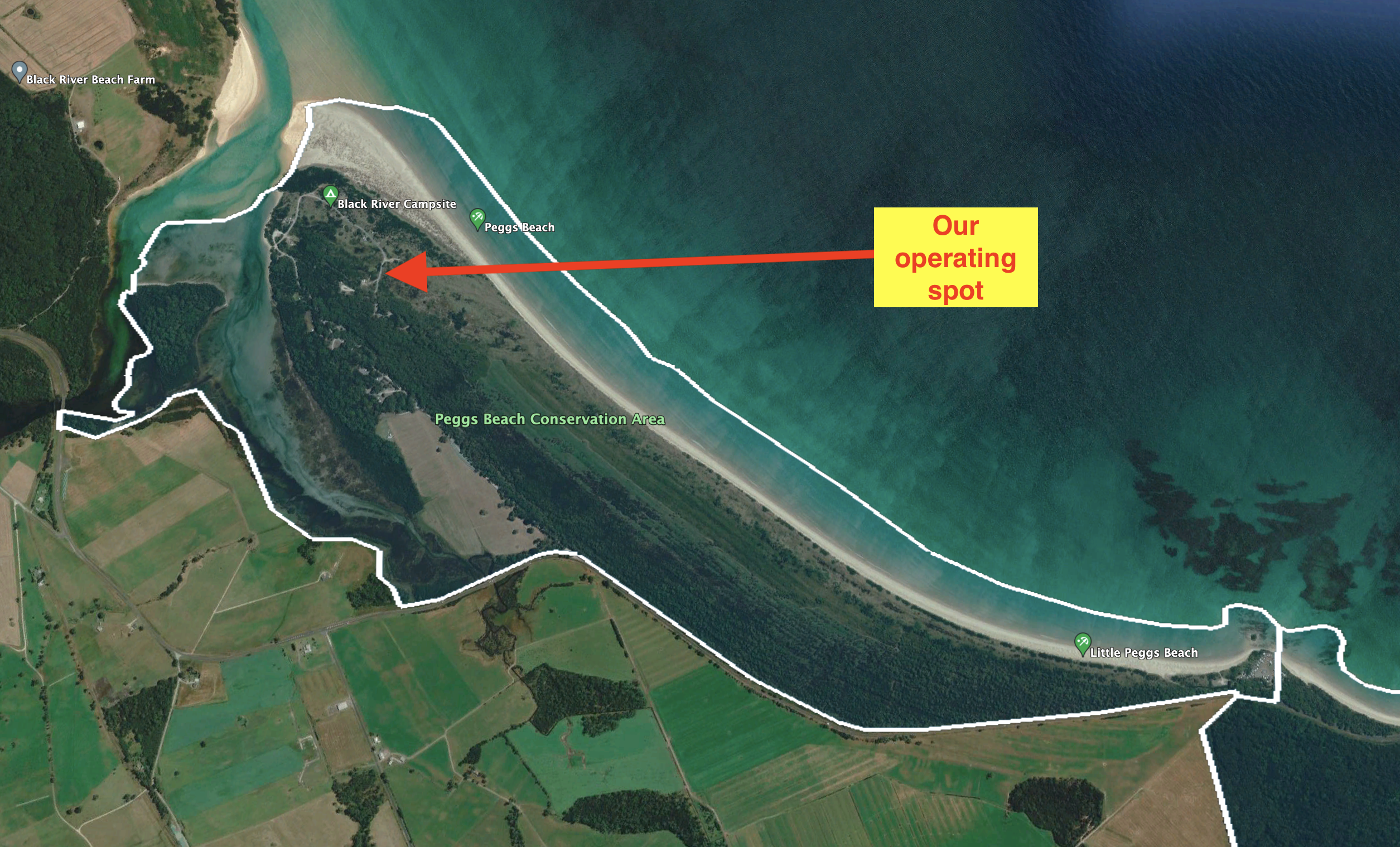
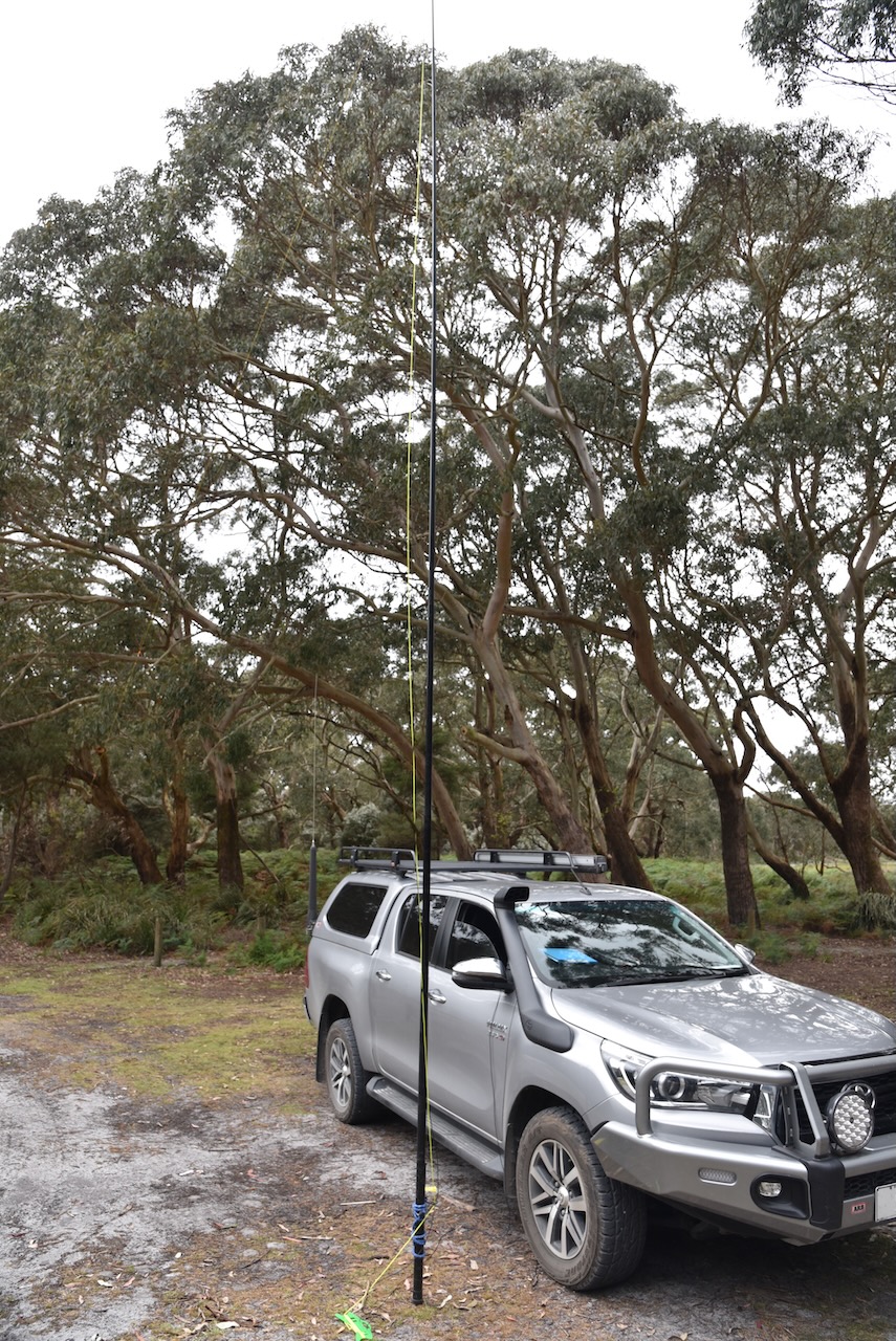
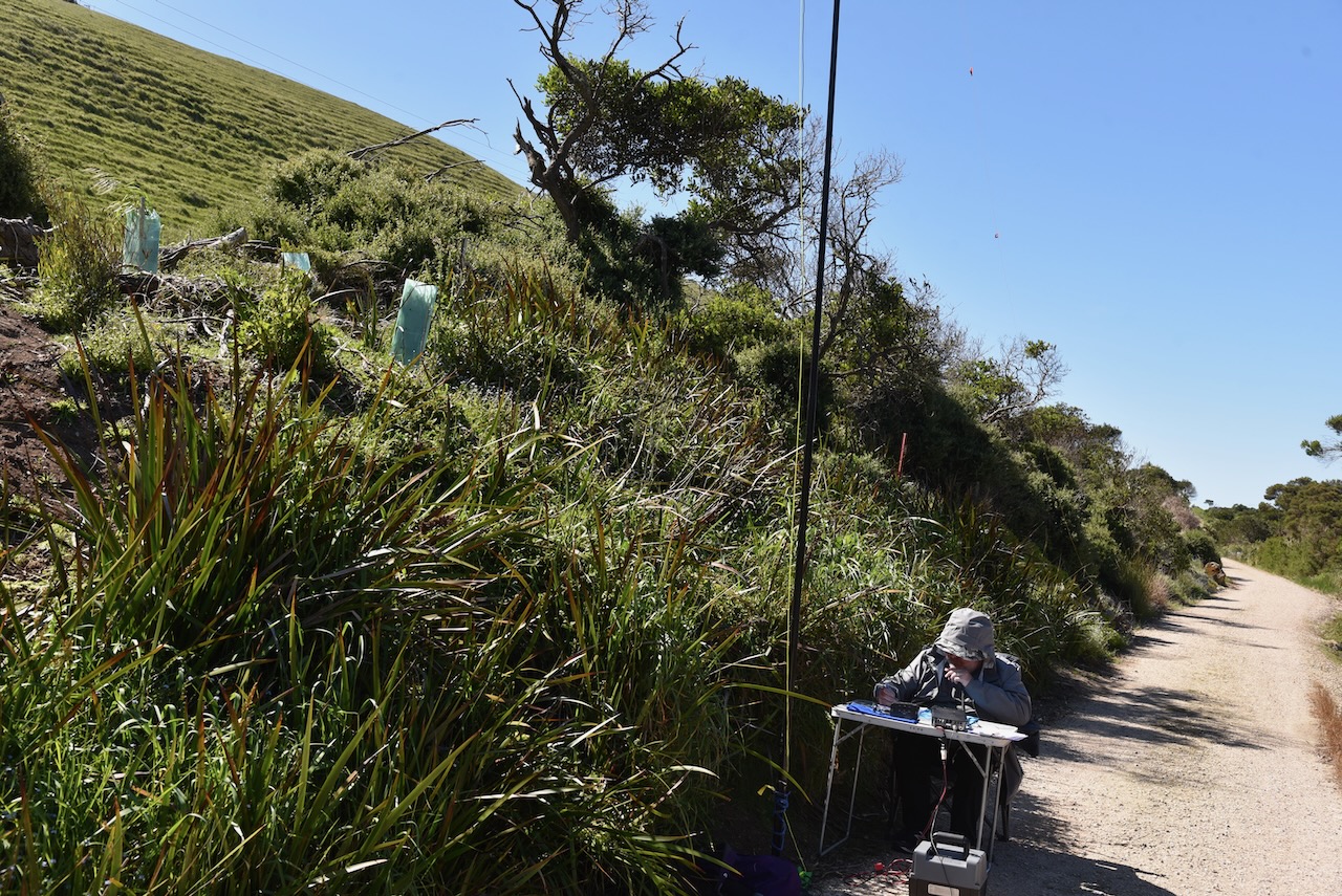
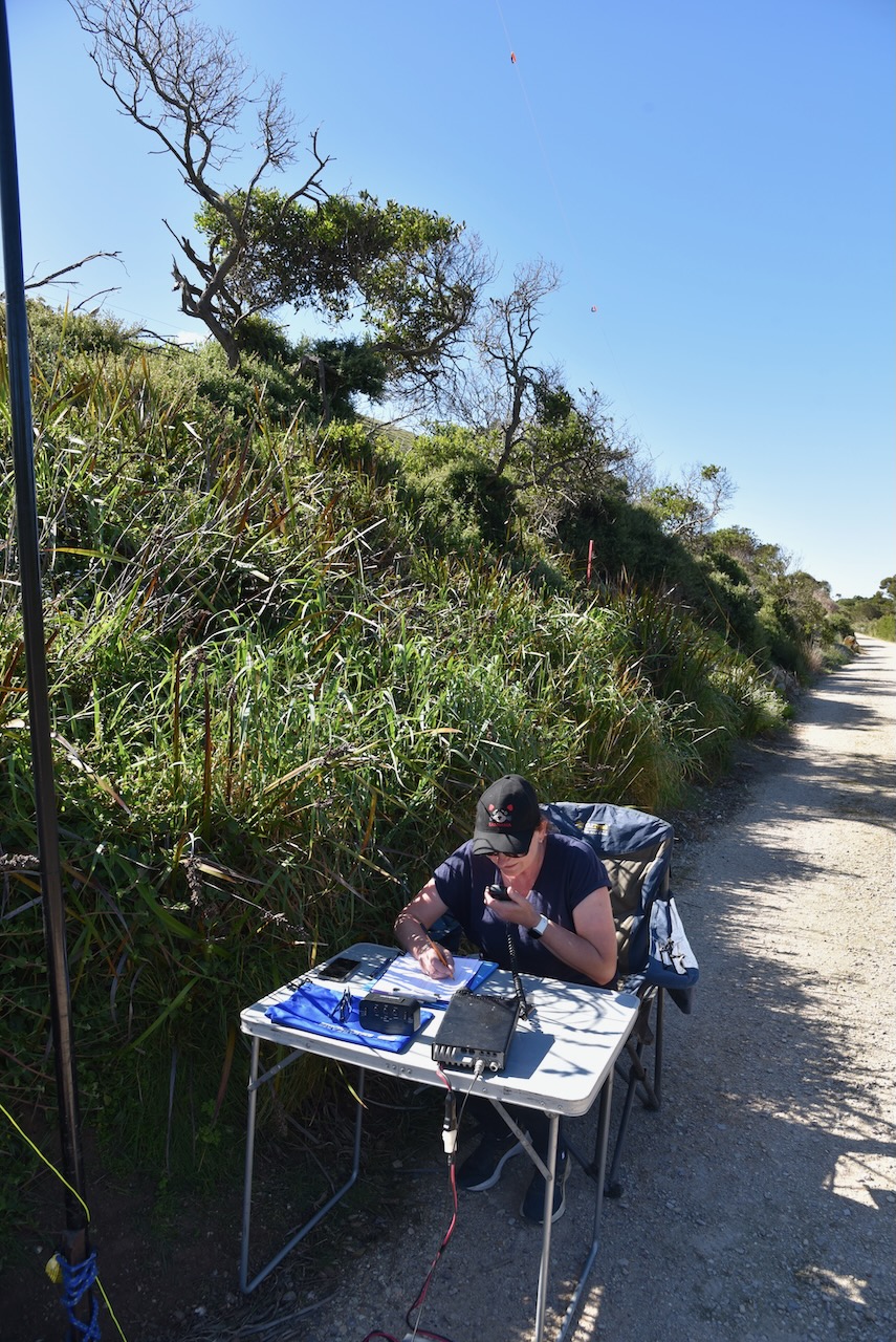
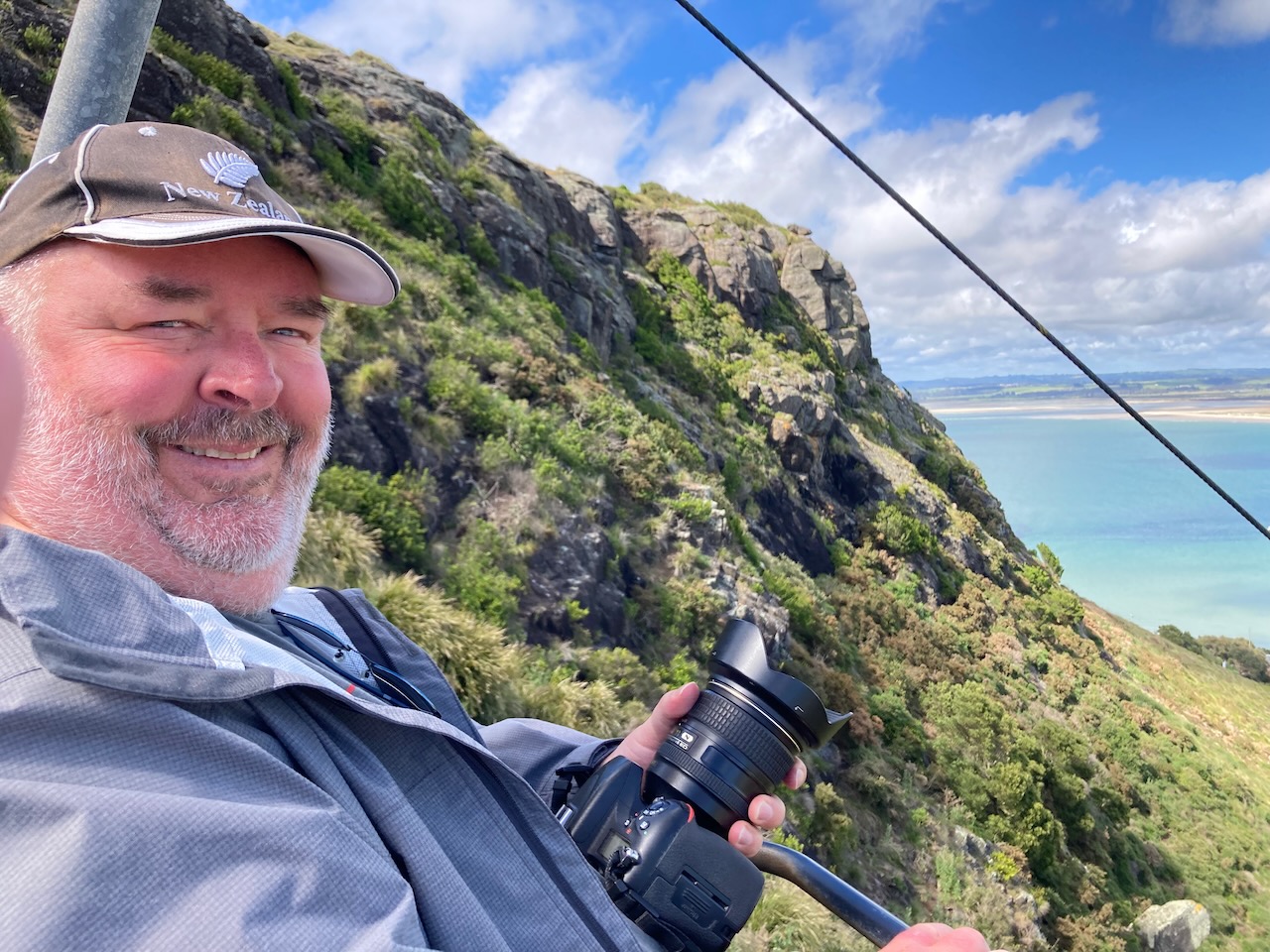
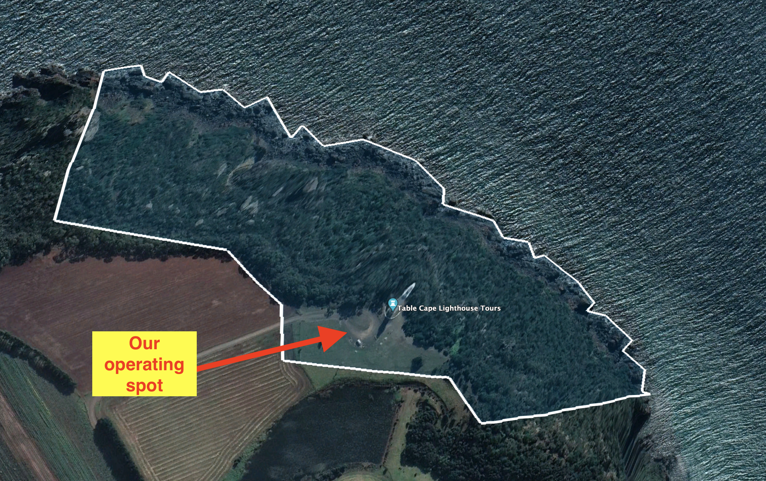
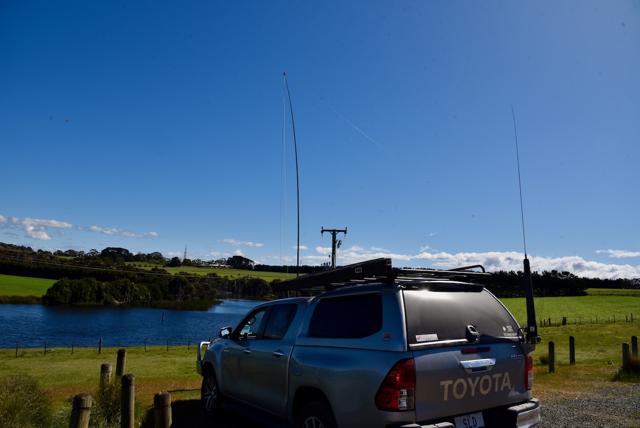
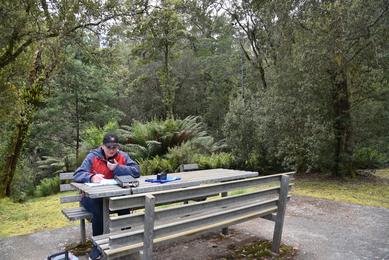
We set up in the carpark adjacent to the lighthouse. There was plenty of room here to run out the 20/40/80m linked dipole.
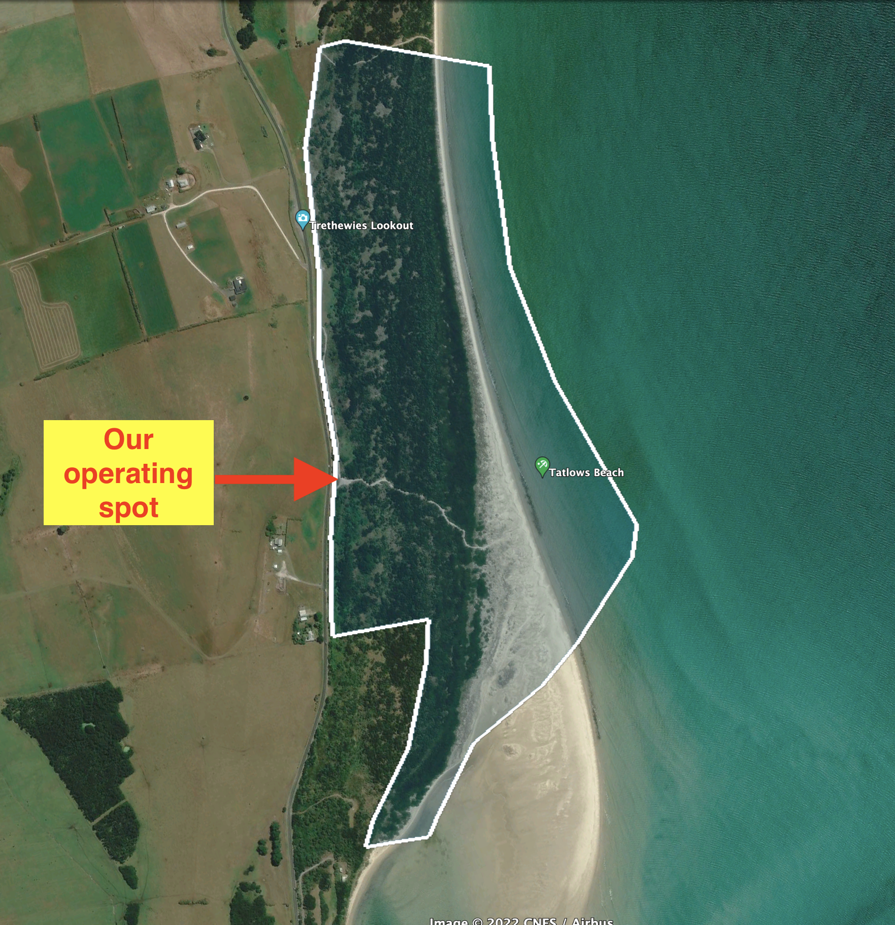
Above:- An aerial view of the Table Cape State Reserve and our operating spot. Image c/o Google Earth.
After about one hour and twenty minutes we had a total of 77 QSOs in our logs including a handful of DX on 20m longpath into Europe.
Marija worked the following stations on 40m SSB:-
- VK3SQ
- VK3VIN
- VK2HHA
- VK3PF
- VK2MET
- VK1AO
- VK2IO
- VK2EXA
- VK2VH
- VK4AAC
- VK7XX
- VK3ZSC/p (Dandenong Ranges National Park VKFF-0132)
I worked the following stations on 40m SSB:-
- VK3SQ
- VK3VIN
- VK2HHA
- VK3PF
- VK2MET
- VK1AO
- VK2IO
- VK2EXA
- VK2VH
- VK4AAC
- VK7XX
- VK7JFD
- VK5HS
- VK3ZSC/p (Dandenong Ranges National Park VKFF-0132)
- VK3BEL
- VK3UAO
- VK7EE
- VK2HBG
- VK4NH
- VK4DXA
- VK7)T
- VK7HBR
- VK3ANL
- VK3TX
- VK7ID
- VK3UH
- VK3RM
- VK5FANA
- VK7AC
- VK3MKE/p
- VK3CM
- VK3ZPF
- VK3AFW
- VK7BD
- VK3PWG
- VI2022PRIDE
- VK1TTY
- VK7AN
- VK5VK
- VK3CBP
- VK1FPRV
- VK5PL
- VK2UGB
- VK7DON
- VK3AHR
- VK3DCQ
- VK5NIG
- VK3IK/m
- VK3IC
- VK3NBL
- VK3GRX
- VK5ZLT
I worked the following stations on 20m SSB:-
- VK3BBB/5
- VK4NH
- VK4DXA
- VK2MET
- VK1AO
- VK4TJ
- VK4EMP
- VK4TI
- UT5PI
- VK2CCP/5
- IW2NXI
- ZL4NVW
- DL1ICB
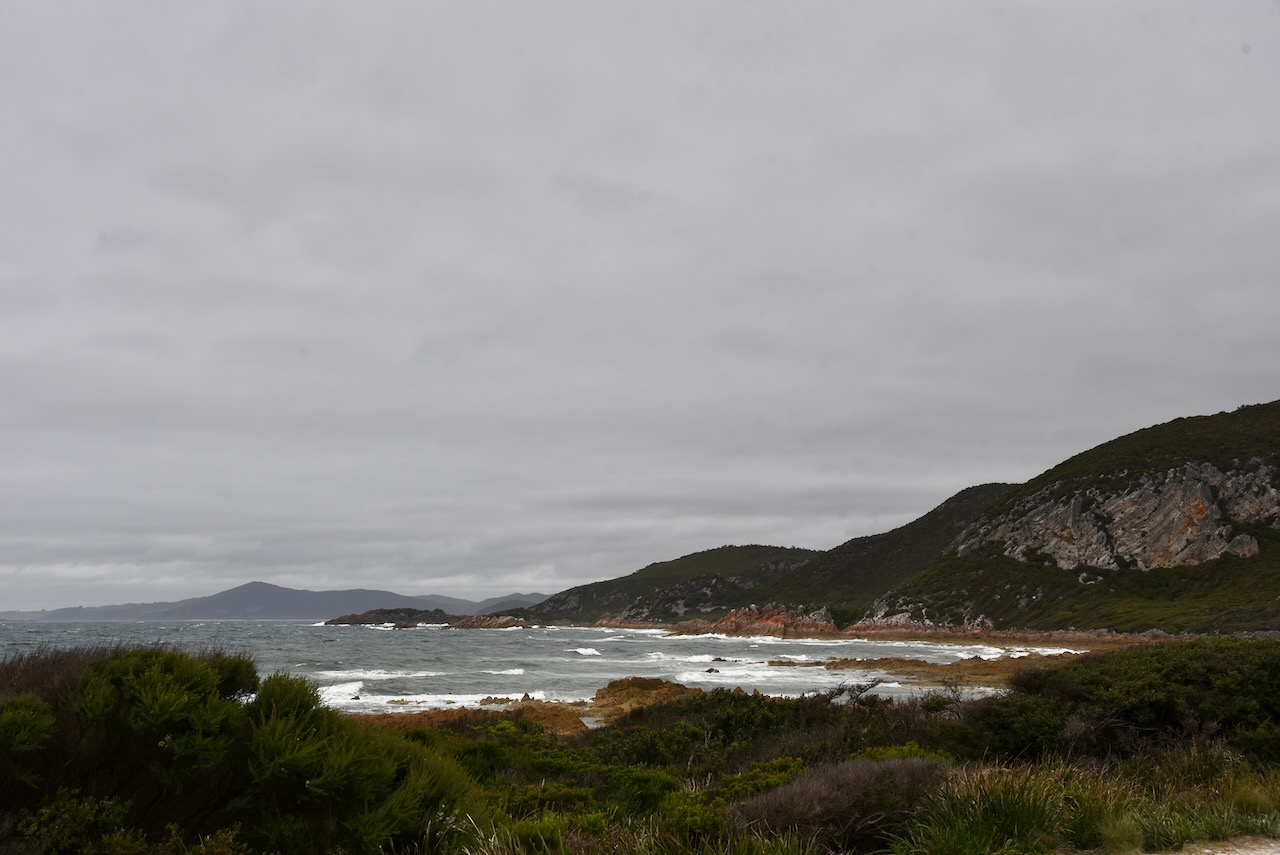
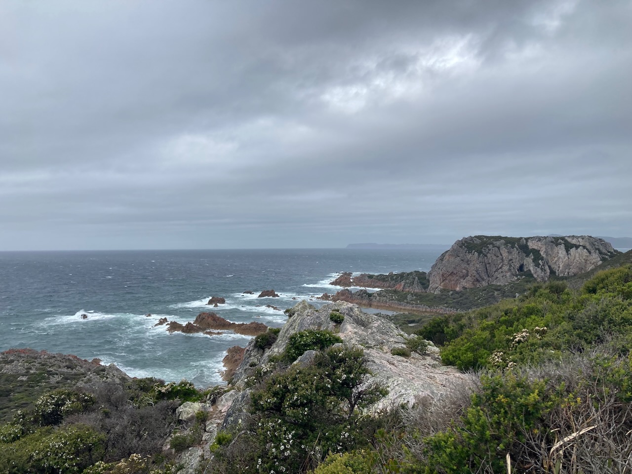
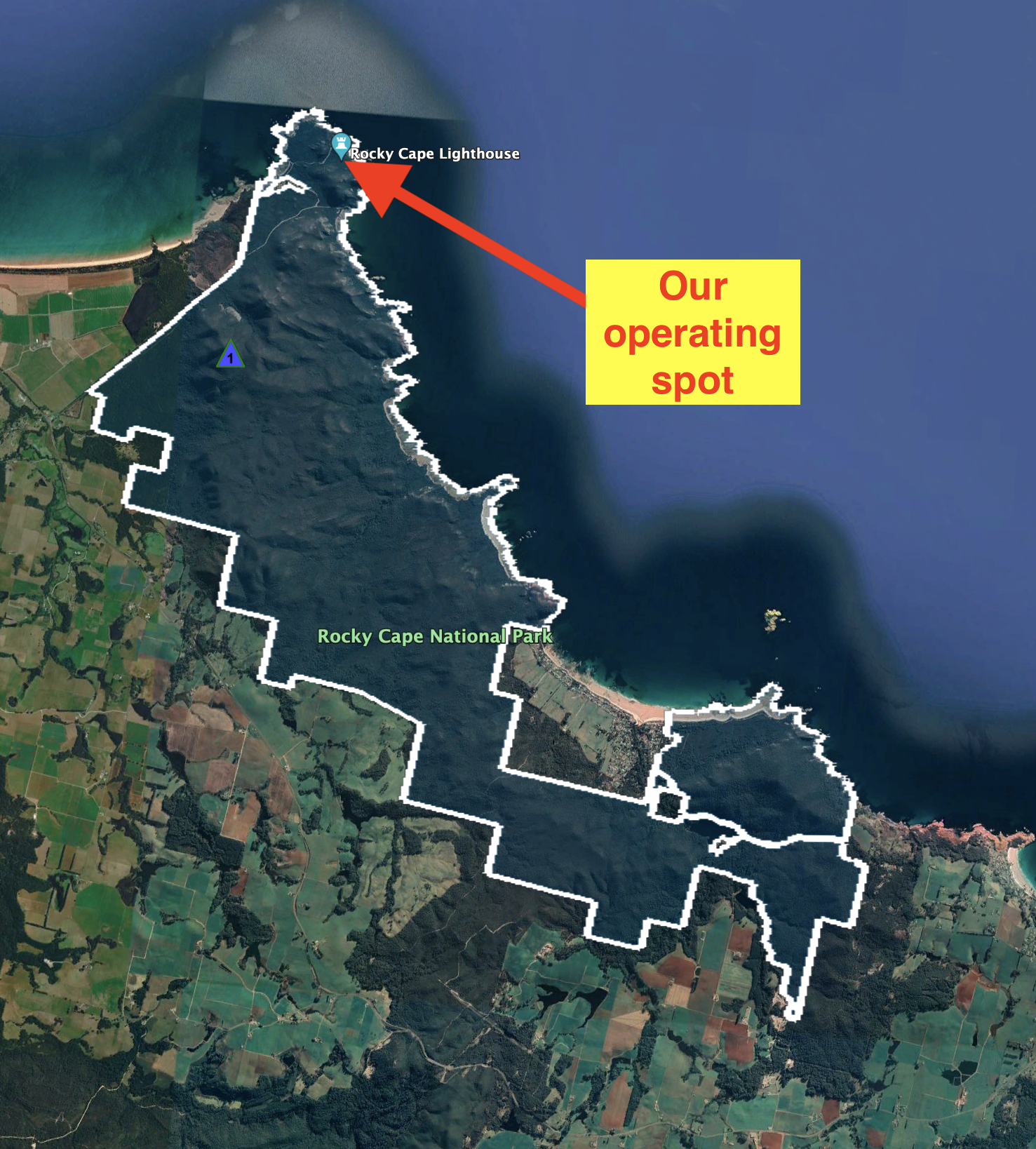
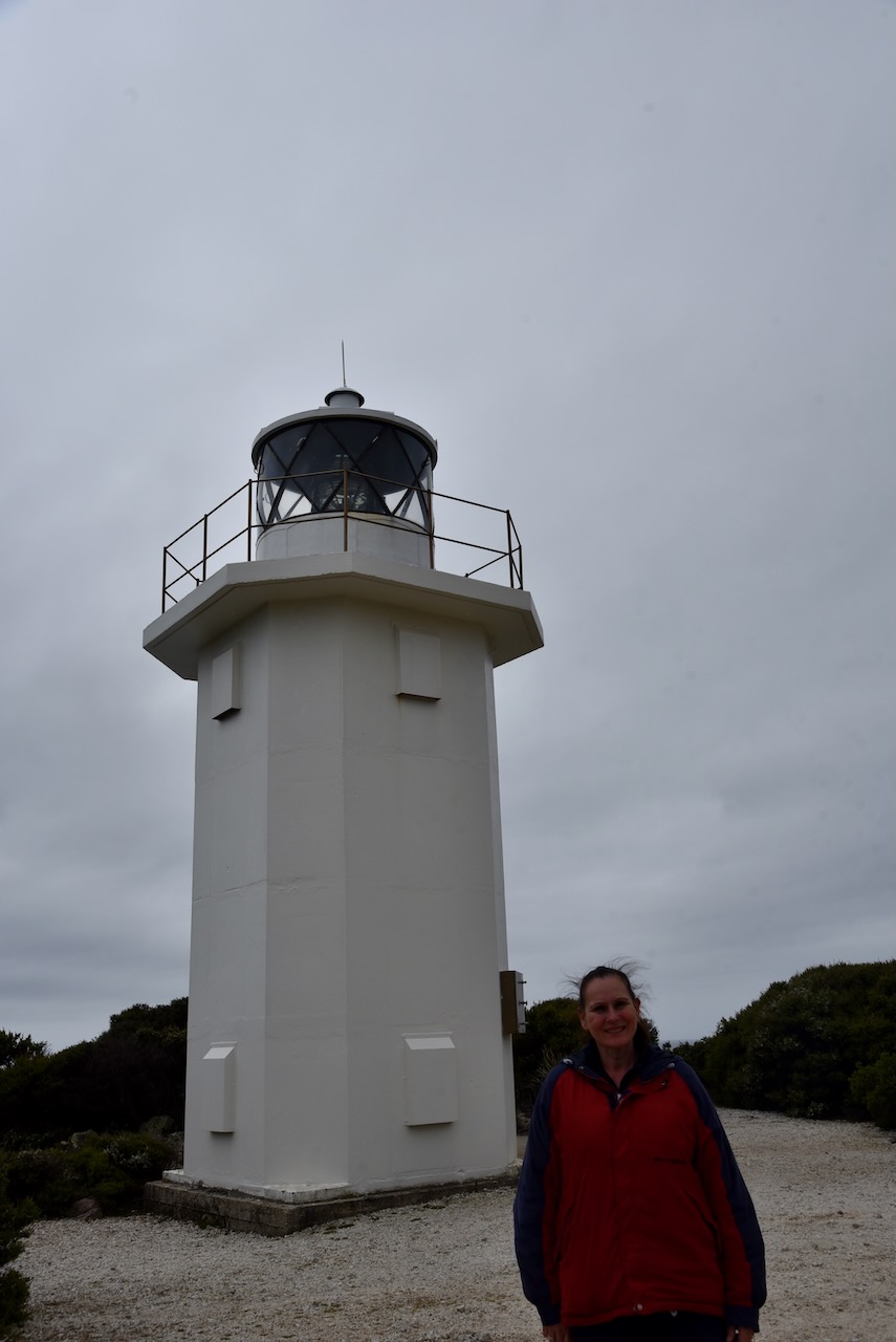
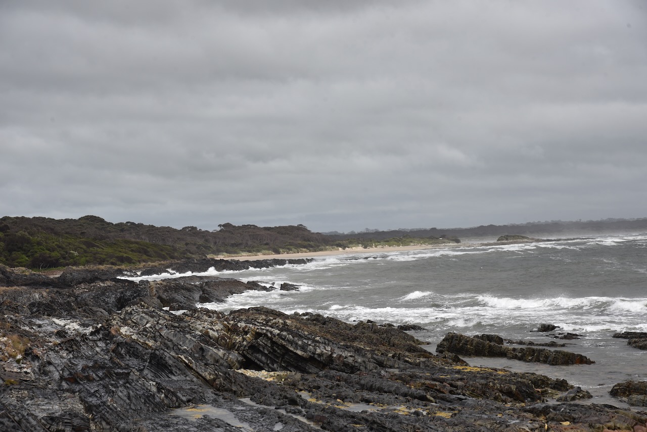
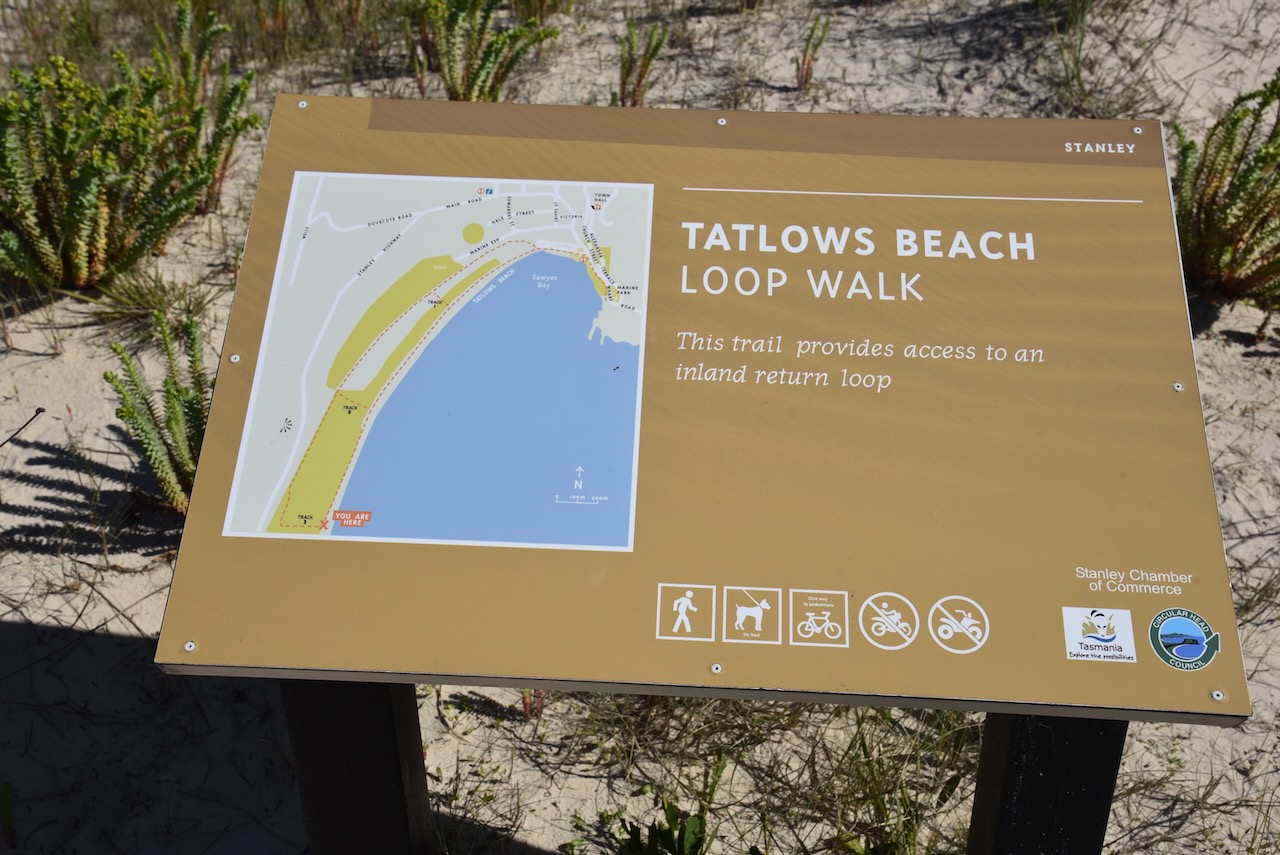
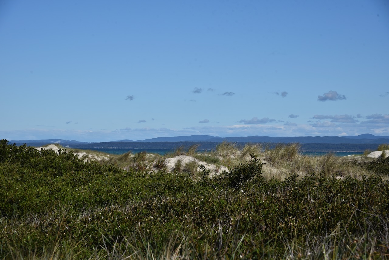
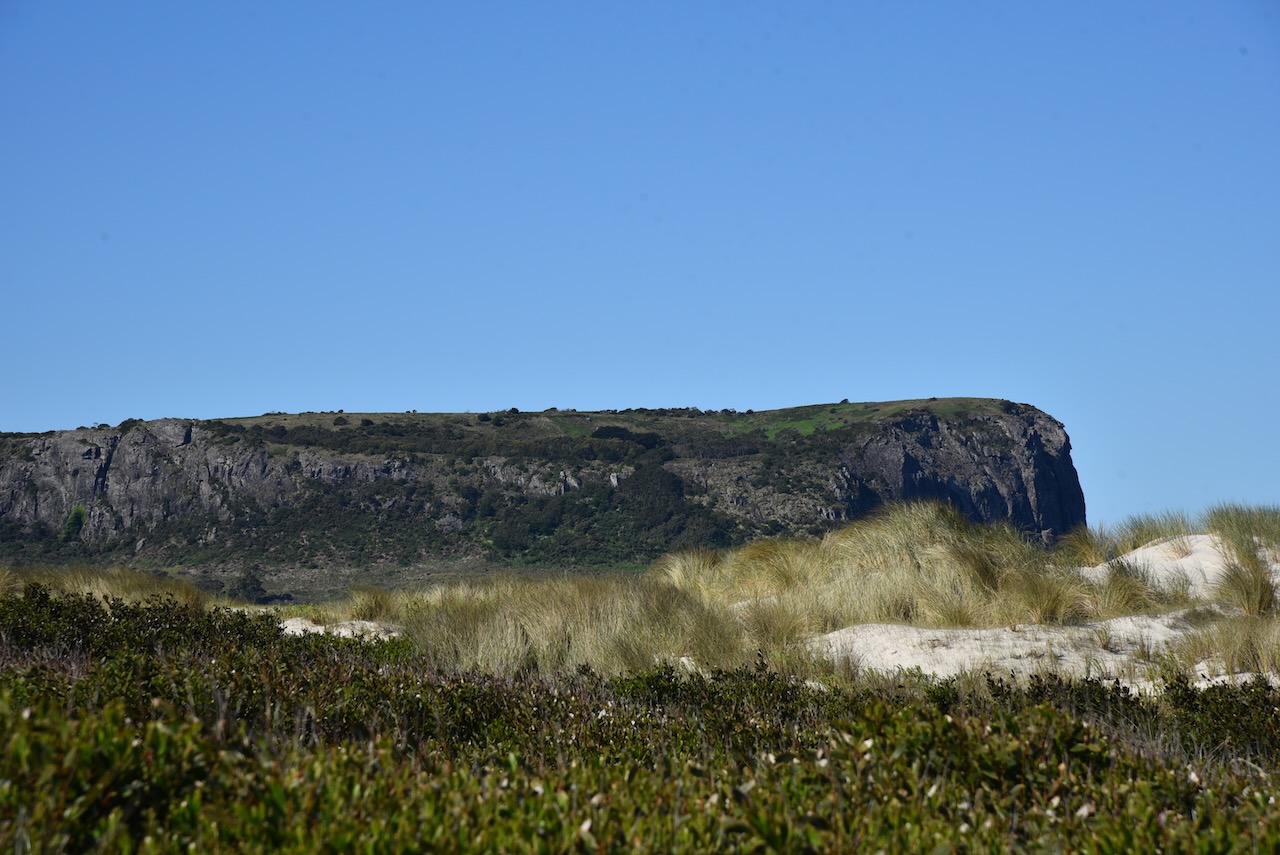
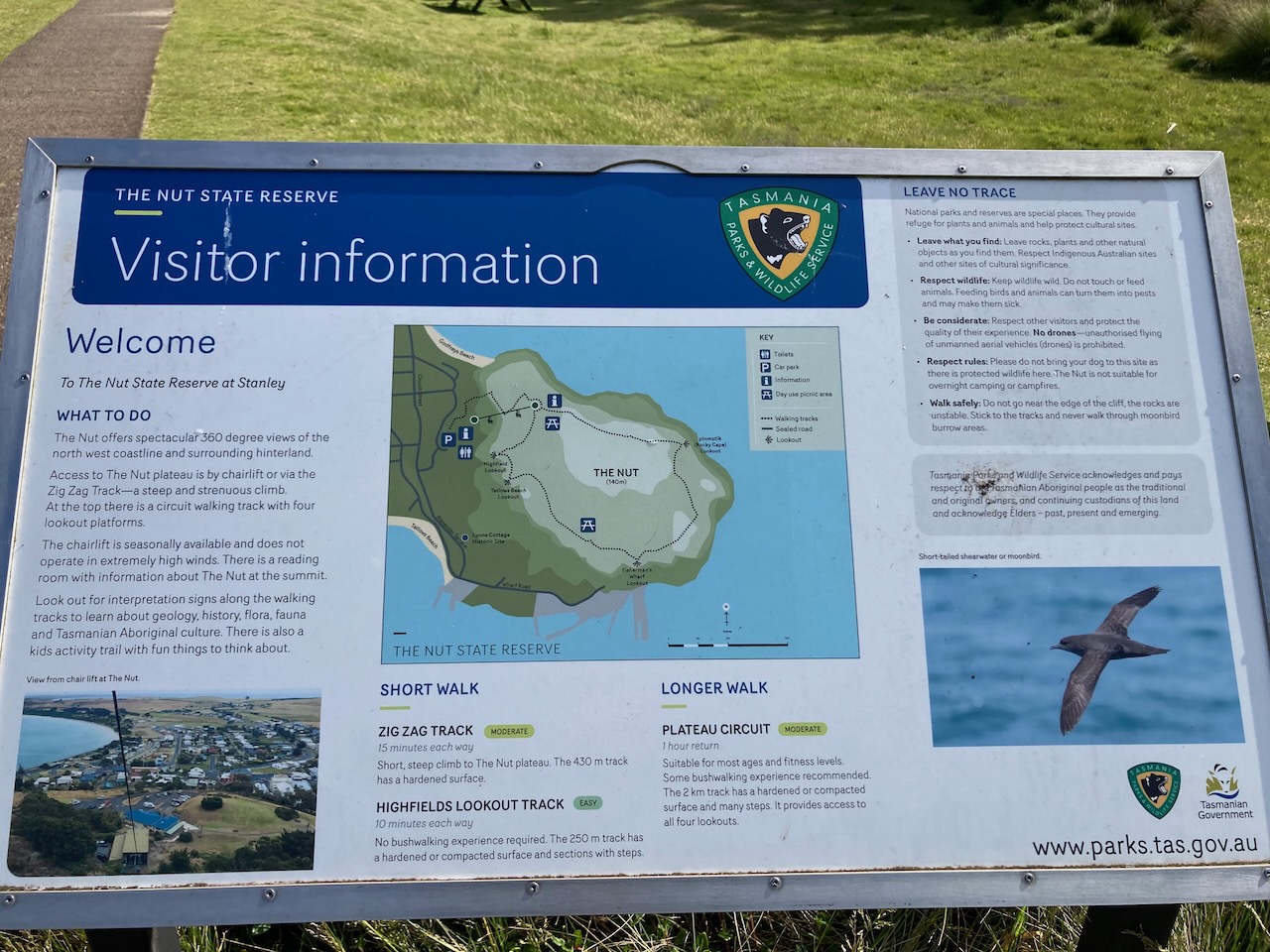
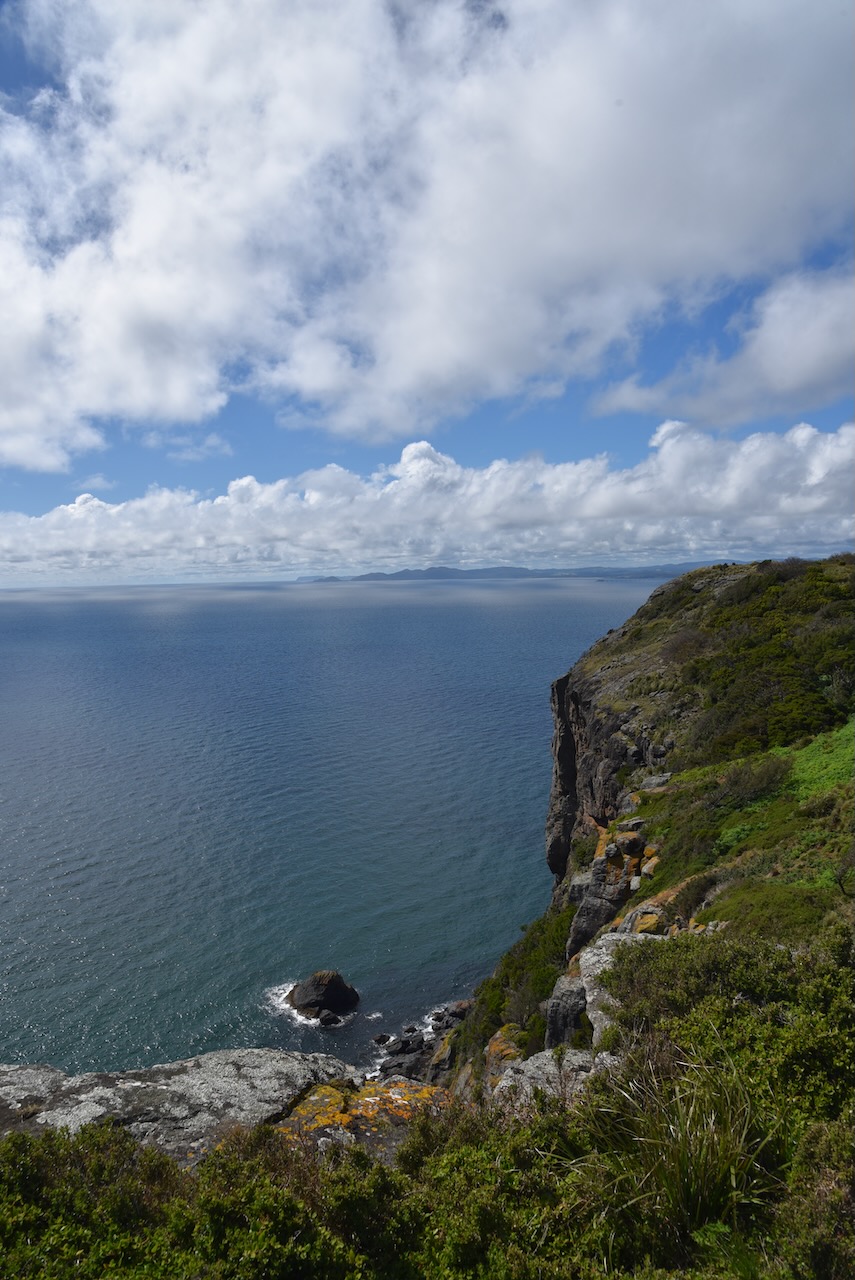
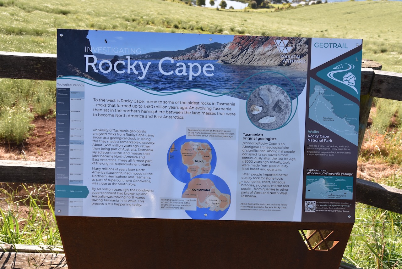
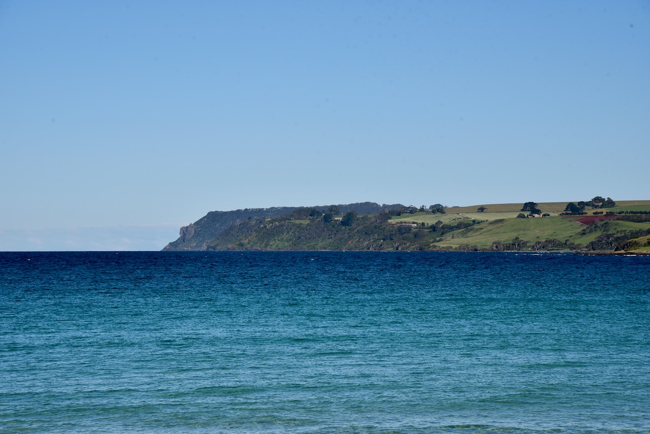
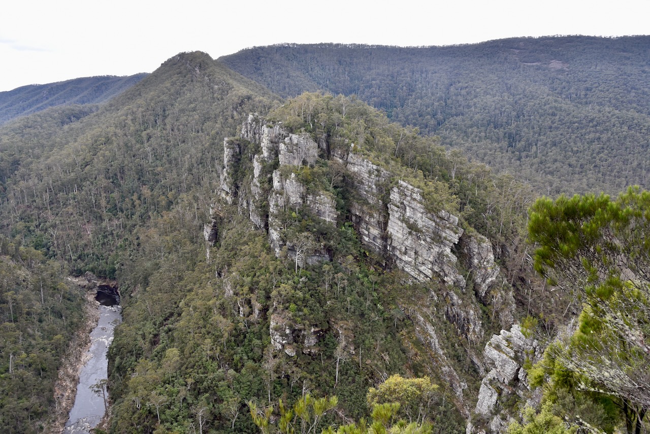
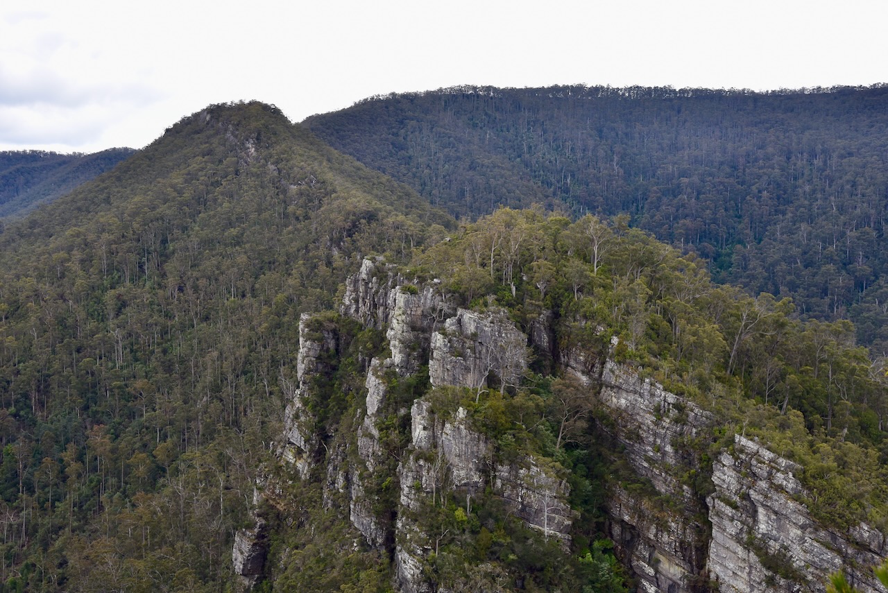
With the park being qualified by both of us for VKFF, and for me for WWFF, we packed up, and headed further west towards our destination of Stanley. We stopped off at the Rocky Cape lookout. Rocky Cape is home to some of the oldest rocks in Tasmania, which was formed up to 1,450 million years ago.
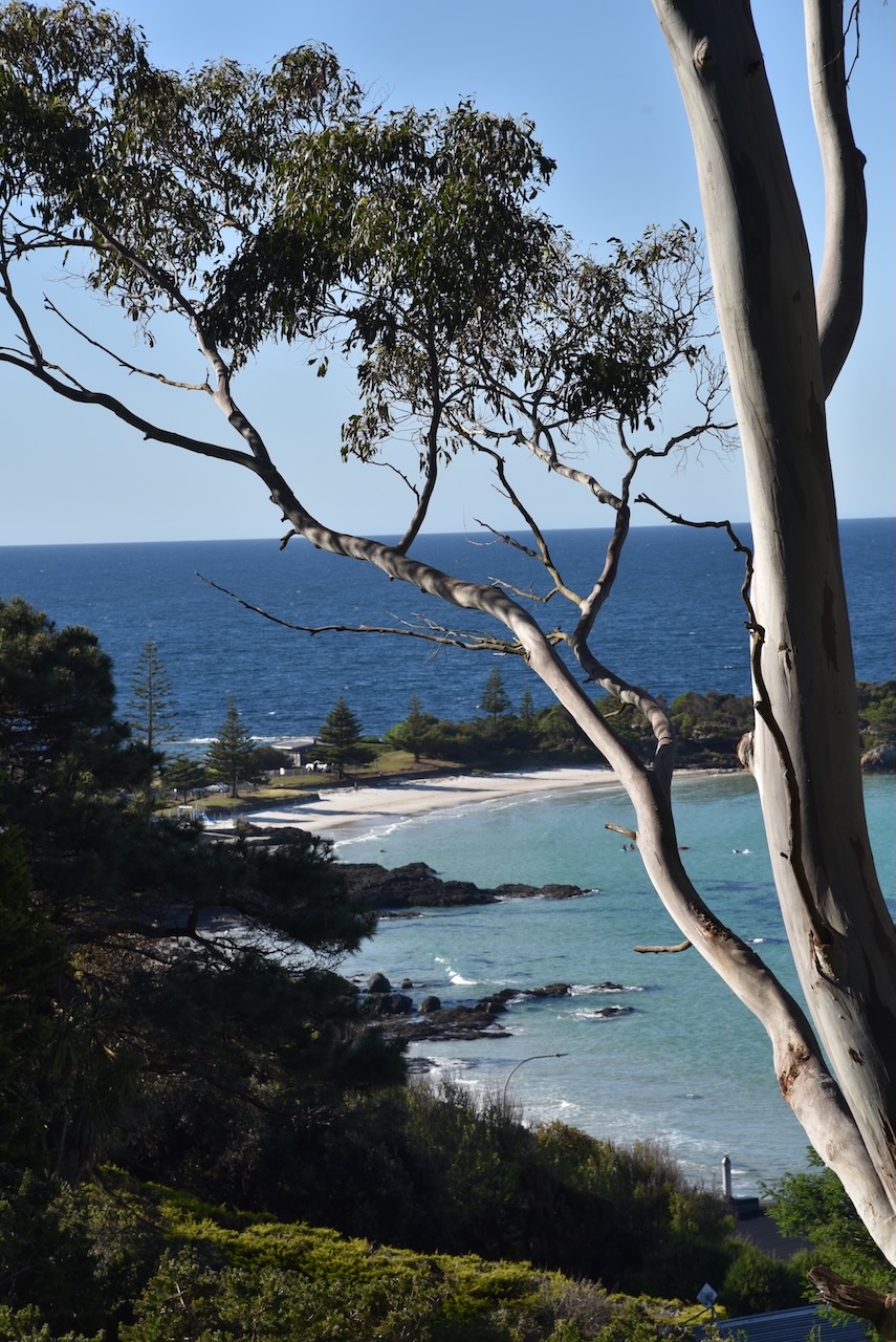
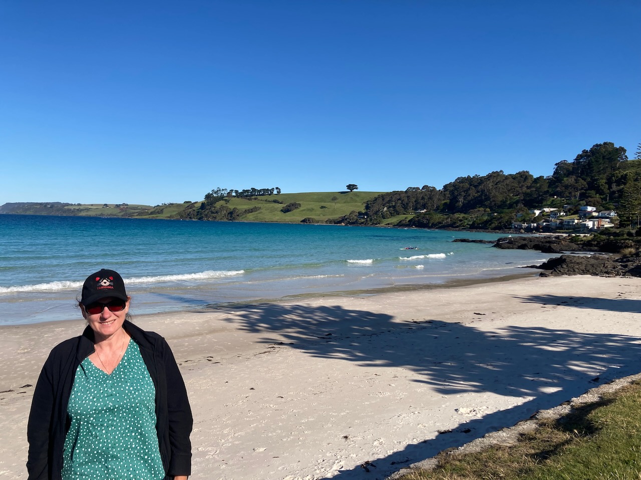
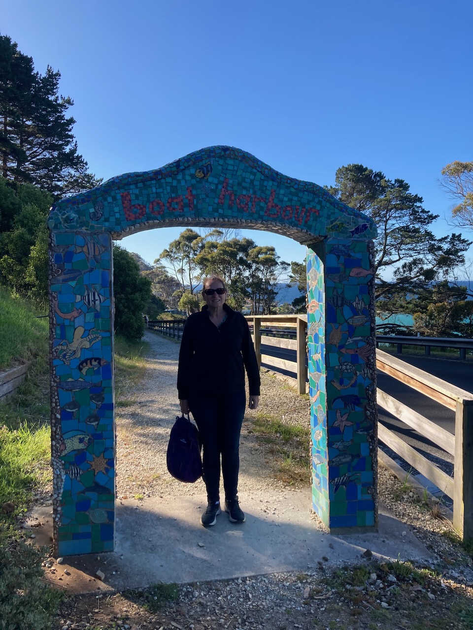
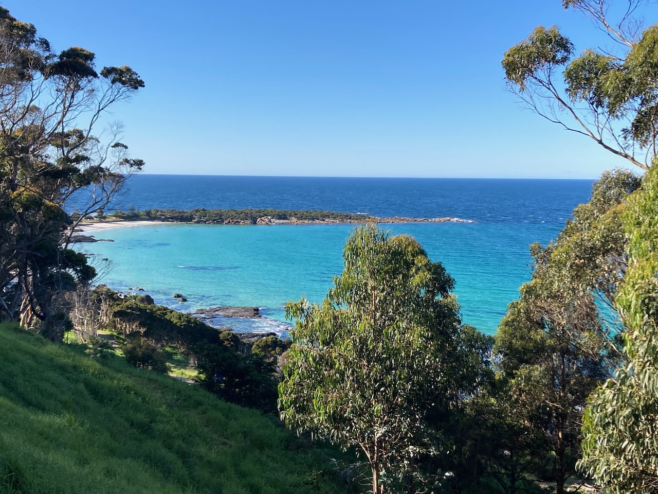
We then drove down to beautiful Boat Harbour Beach which has magnificent white sand and beautiful blue water.
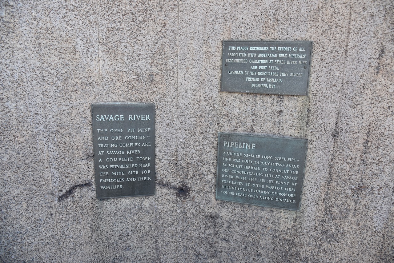
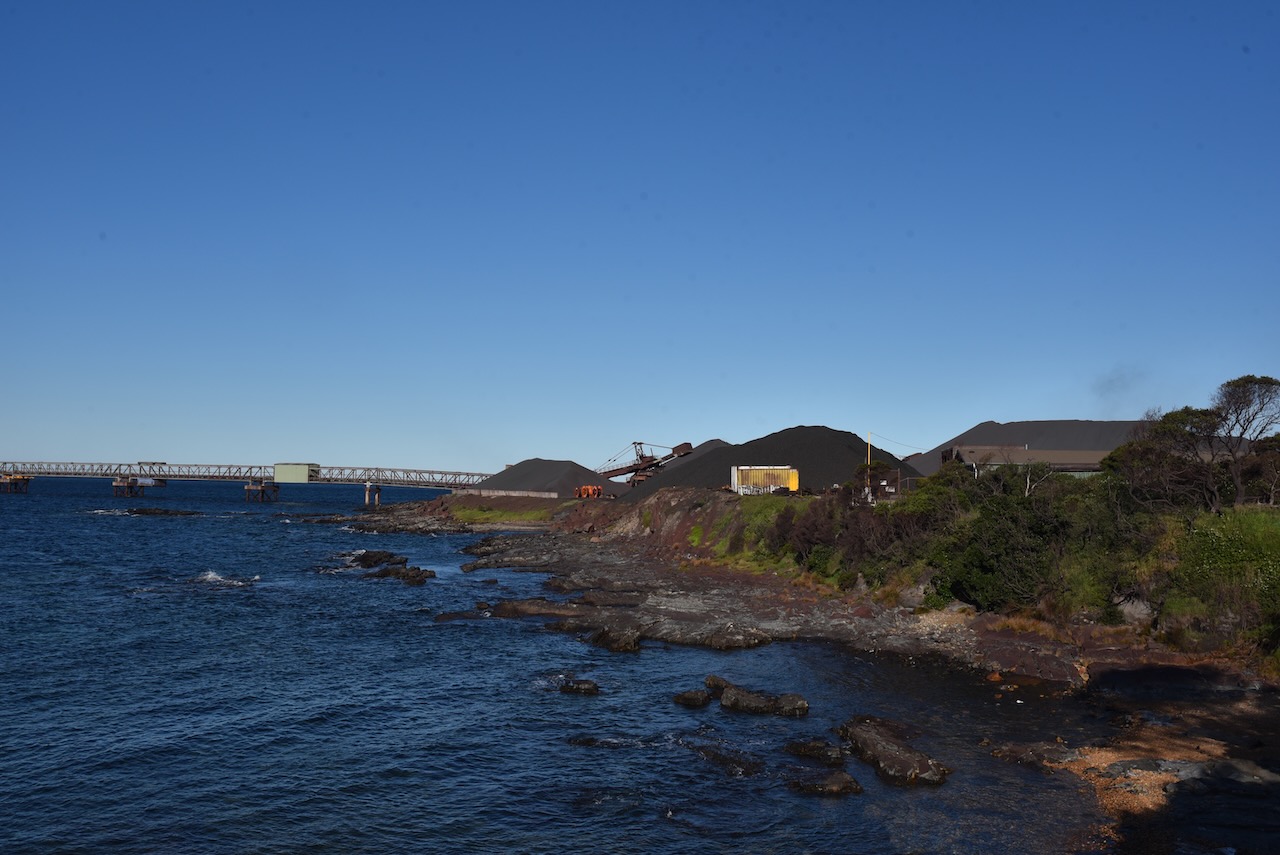
We continued west along the Bass Highway and stopped to have a look at the iron ore pelletising plant at Port Latta which opened in 1967. There is also a large port here used to export iron ore from the Savage River mine.
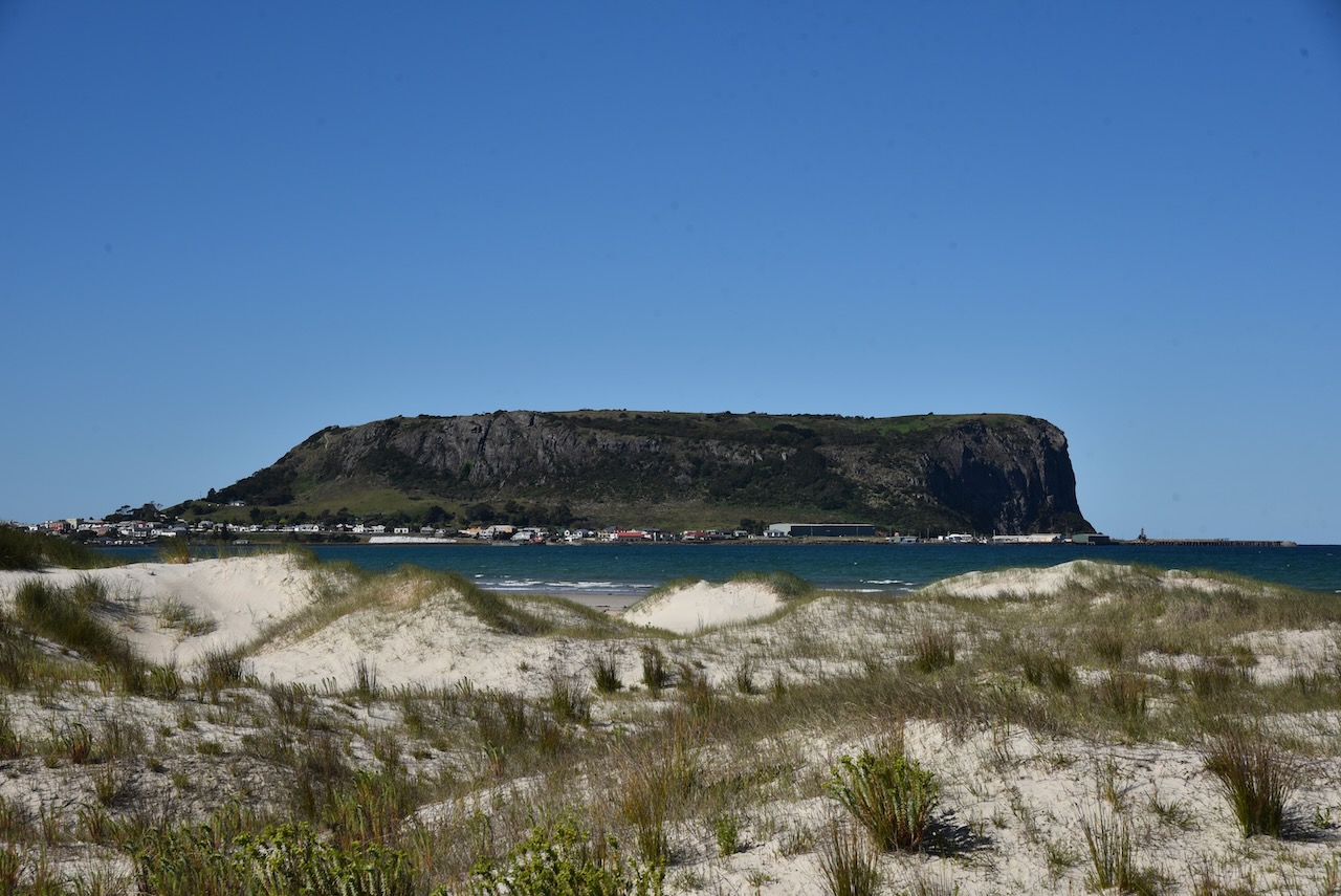
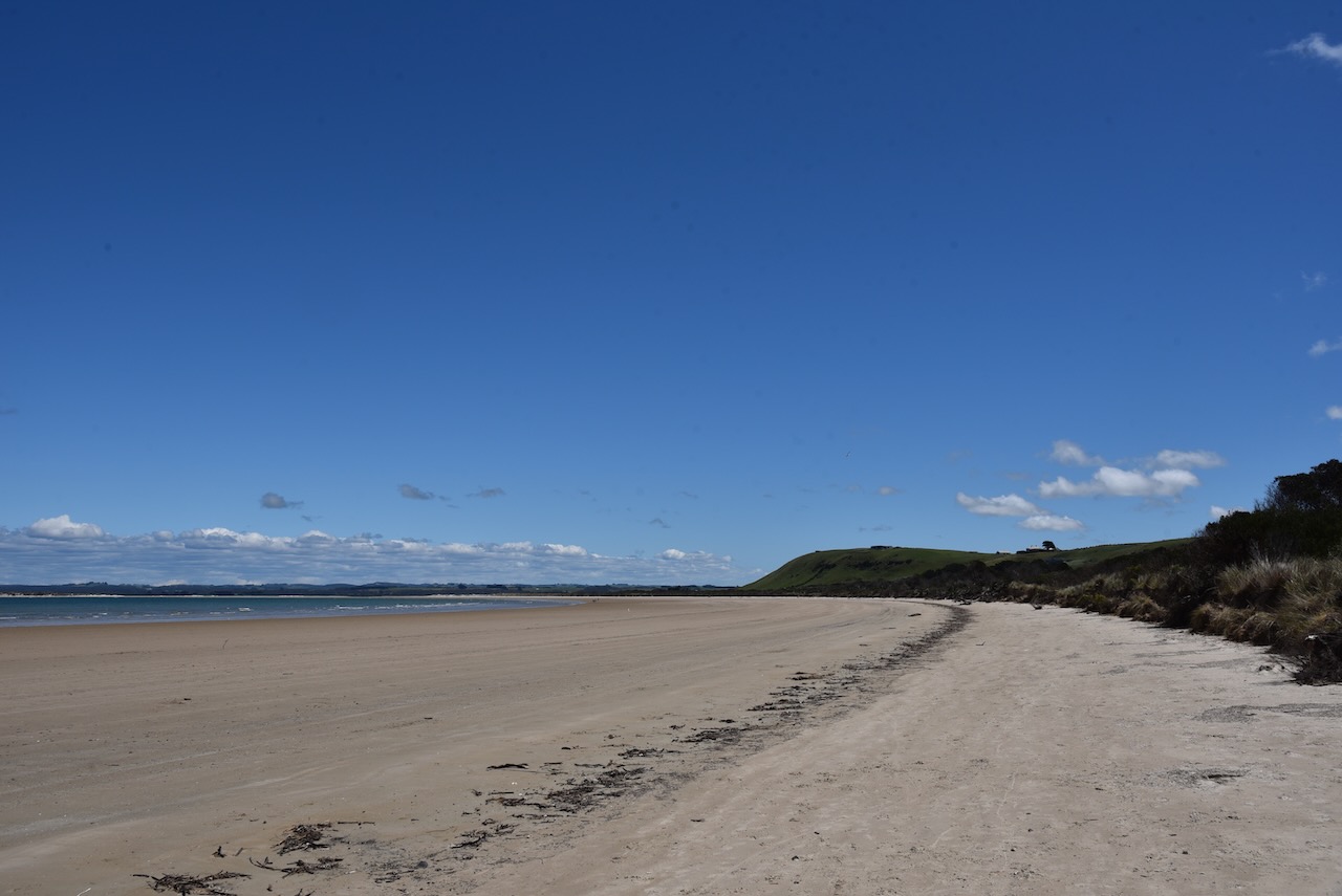
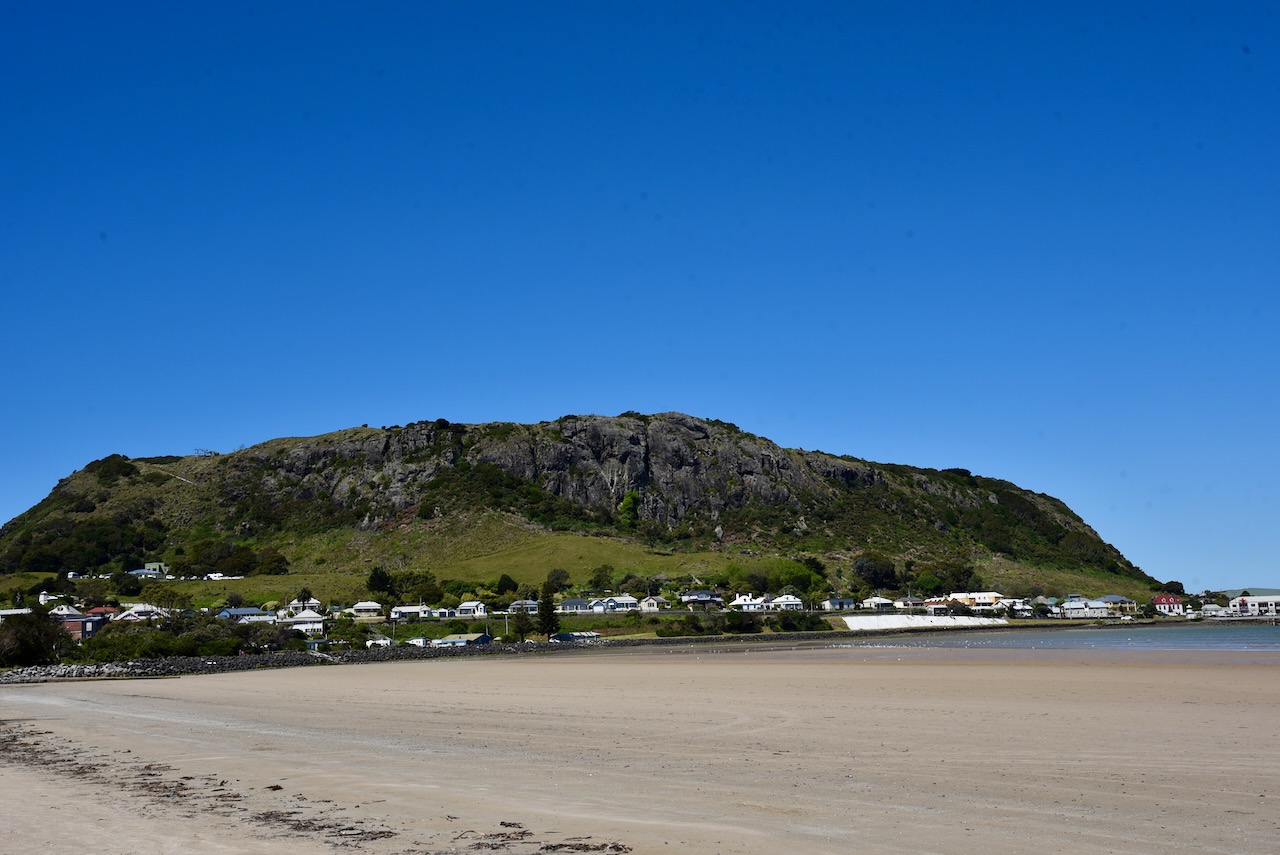
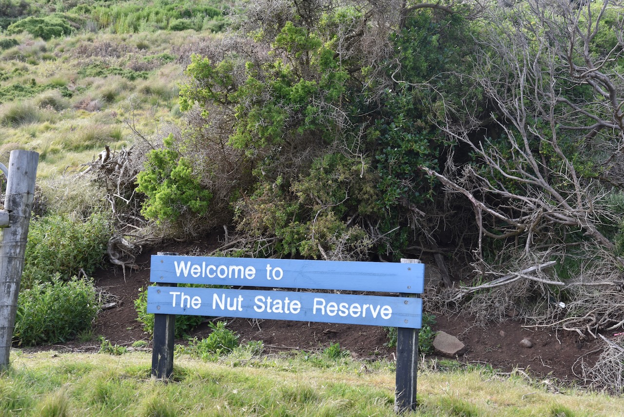
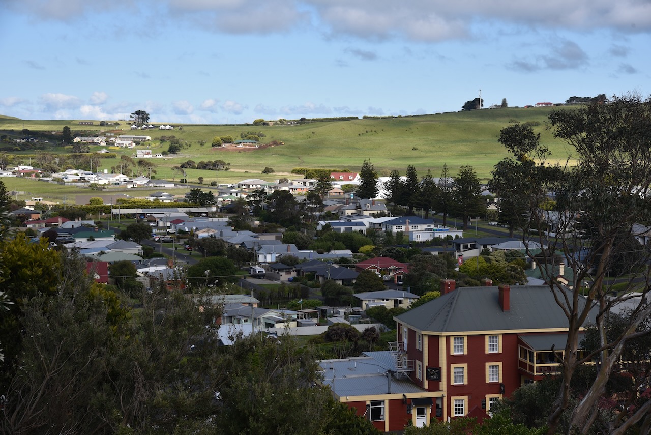
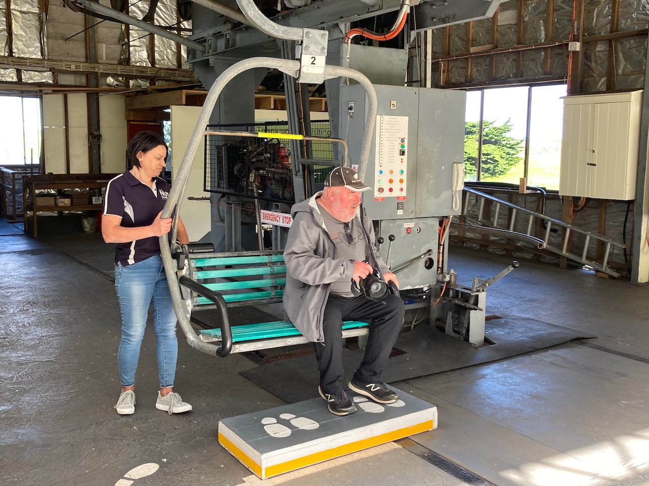
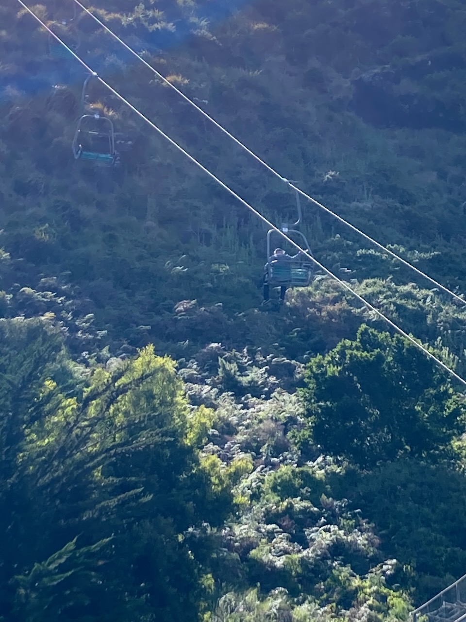
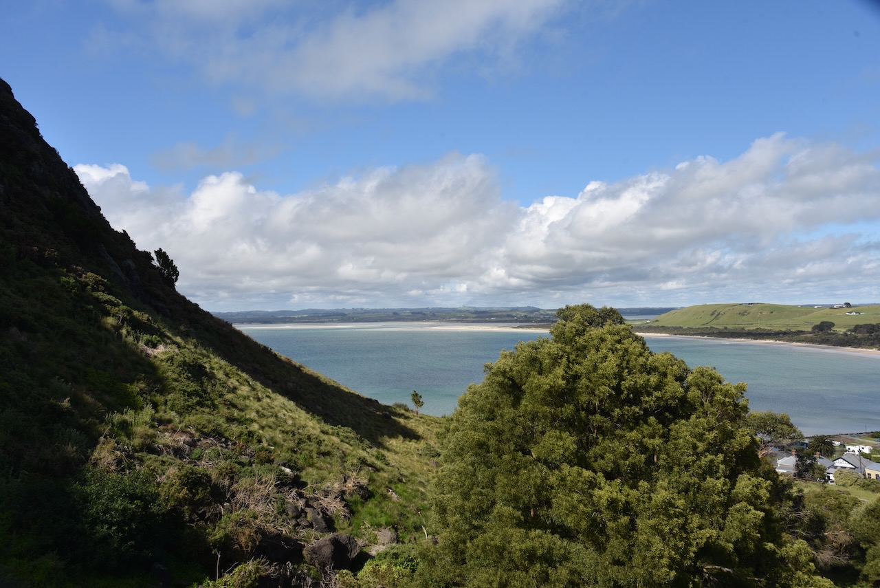
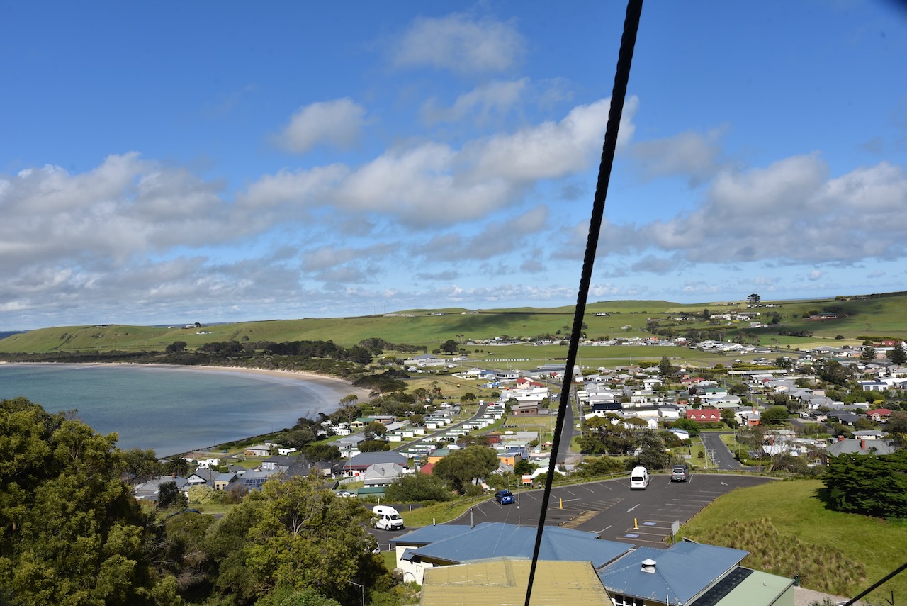
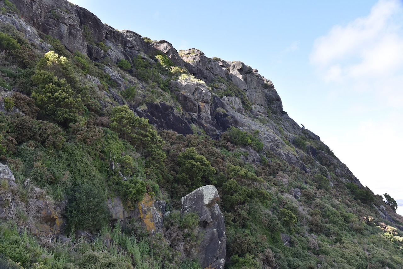
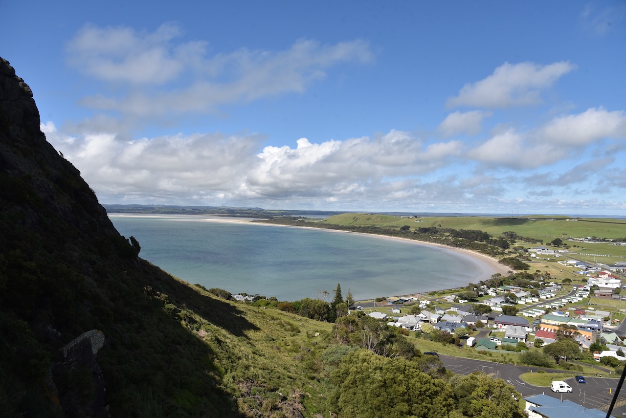
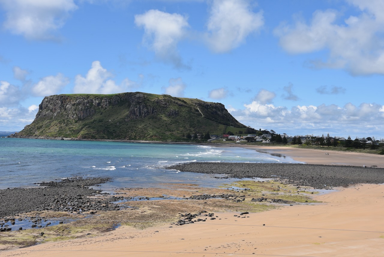
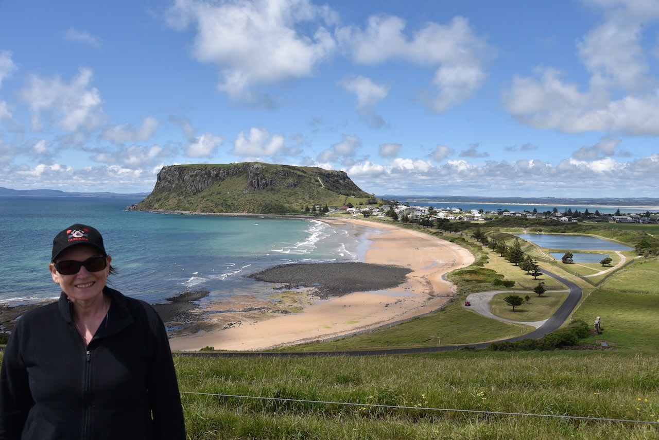
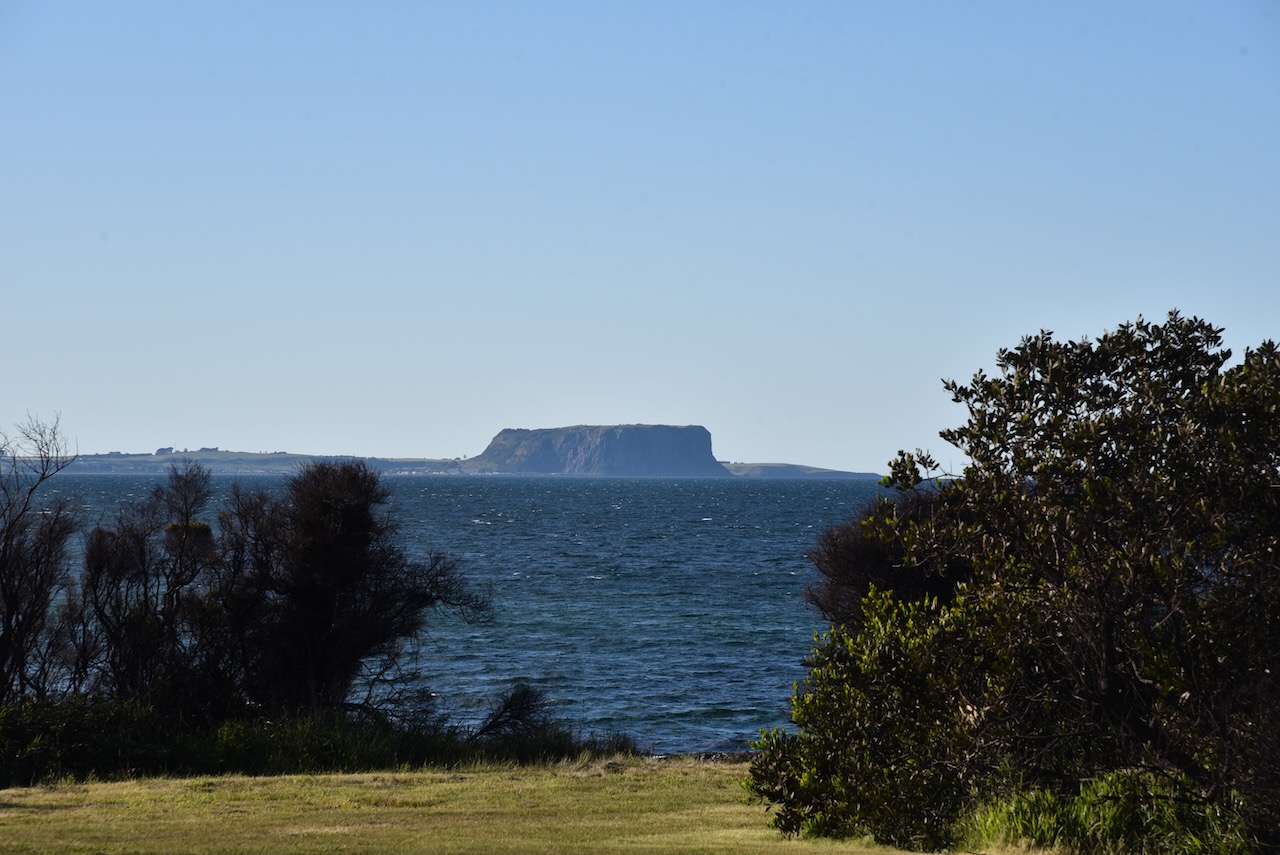
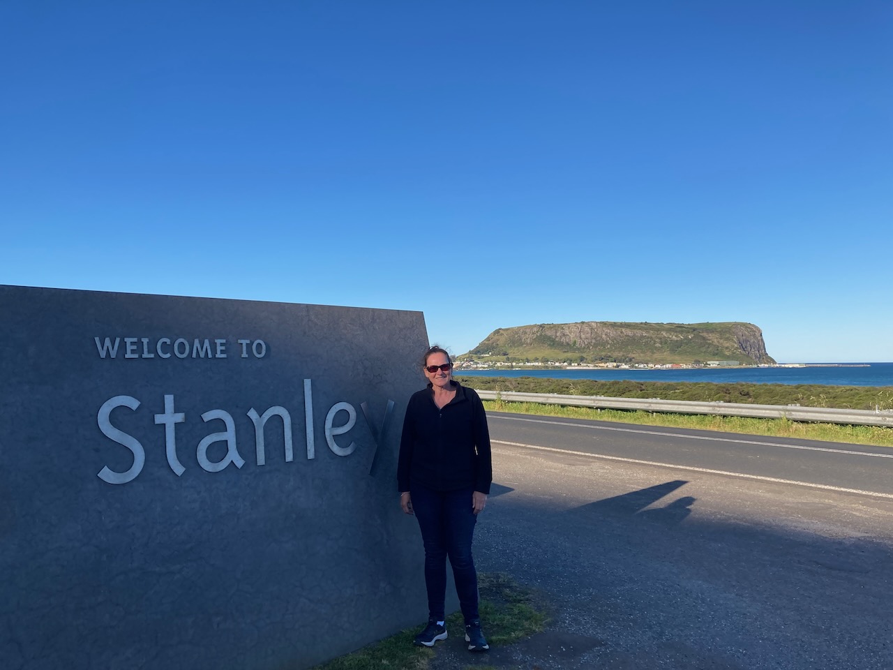
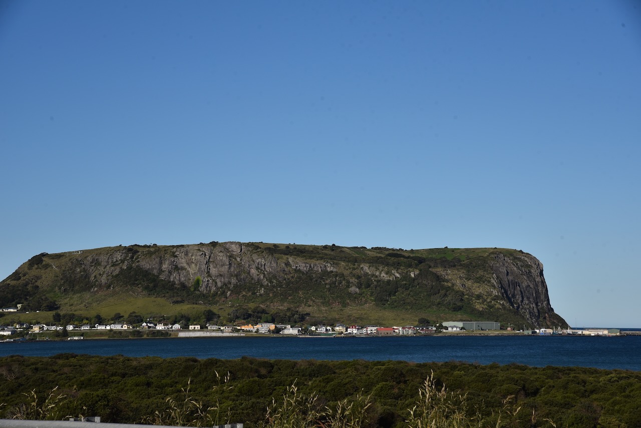
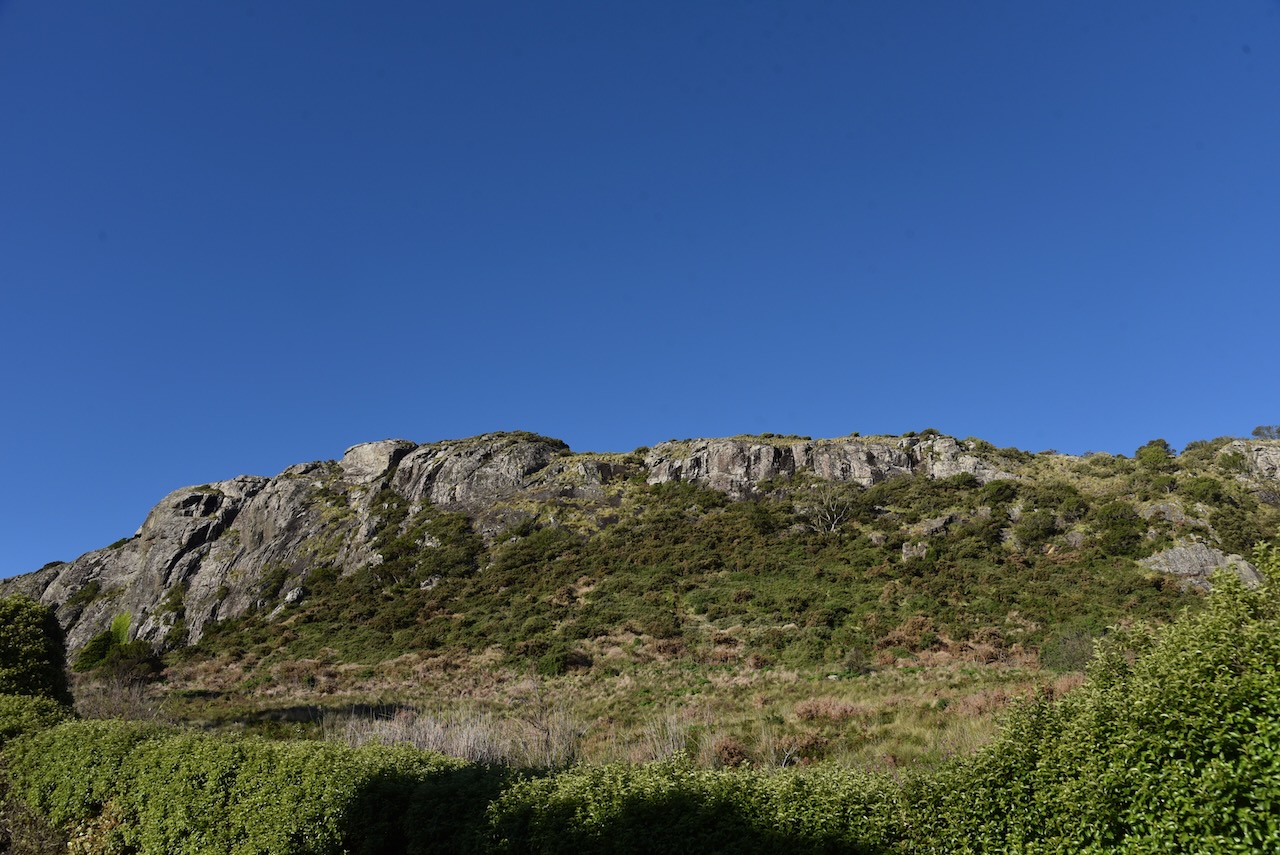
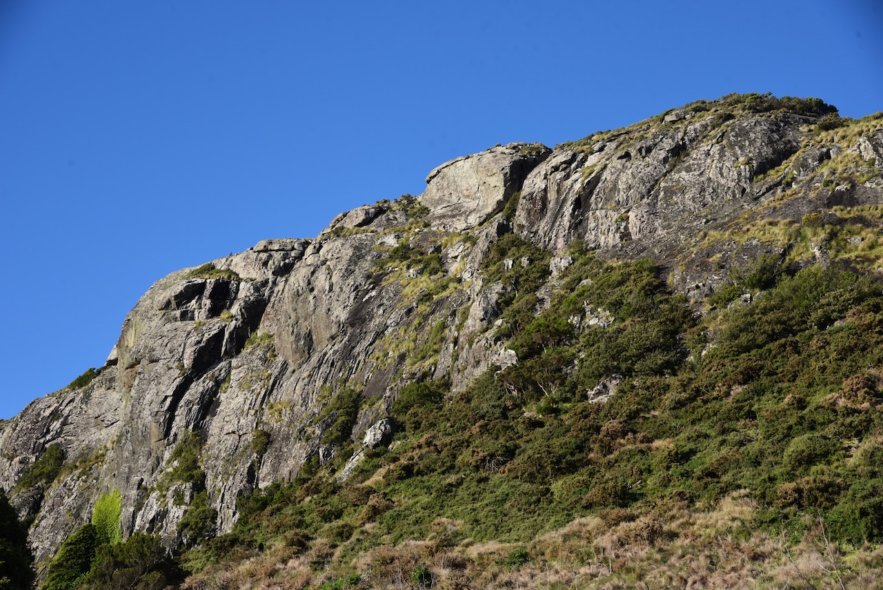
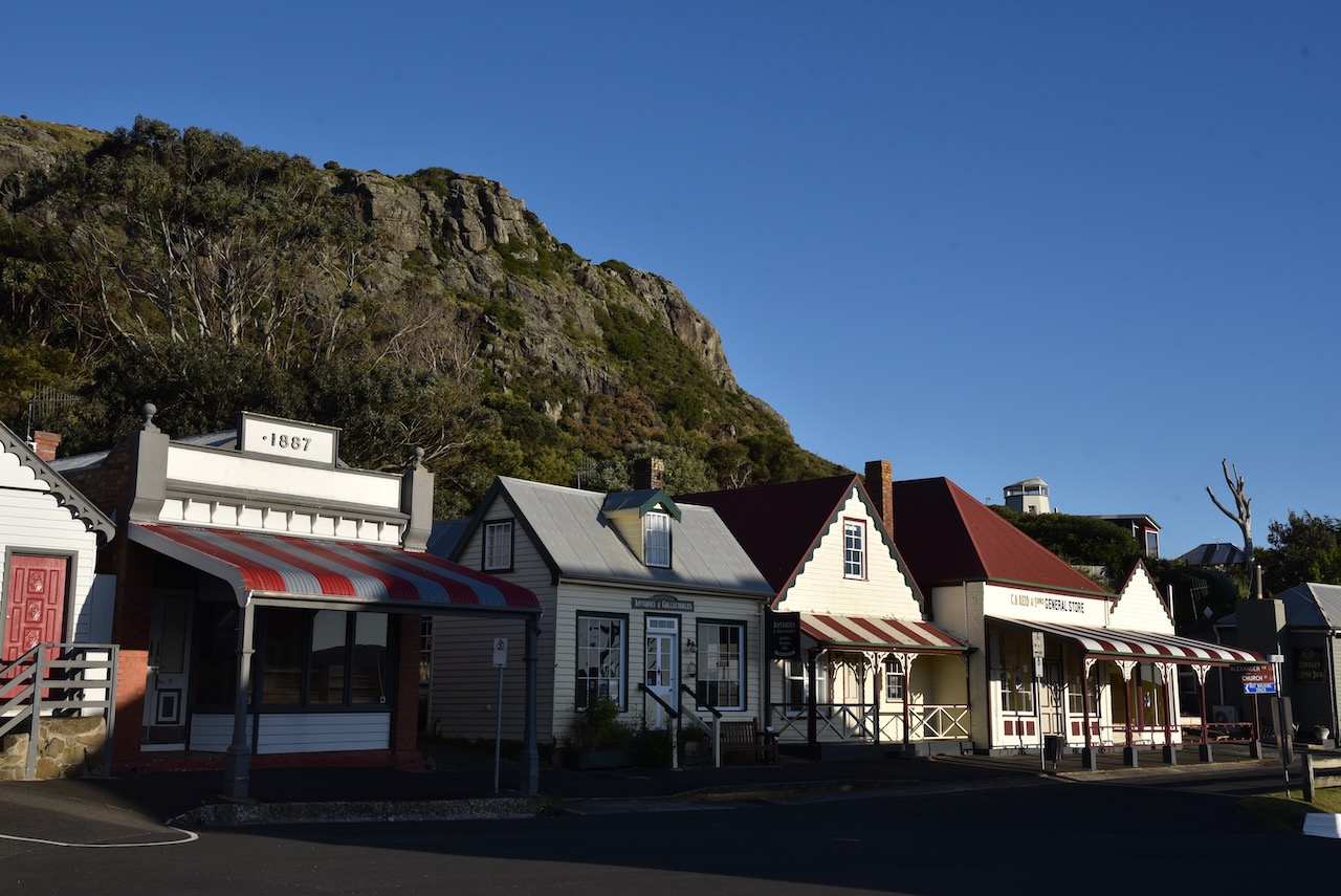
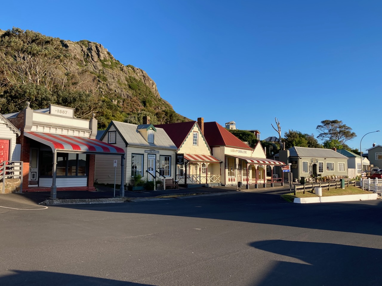
We then turned on to the Stanley Highway from the Bass Highway. We stopped briefly at the Stanley welcome sign where there are sign great views of The Nut, a sheer-sided bluff which sits above the town of Stanley.
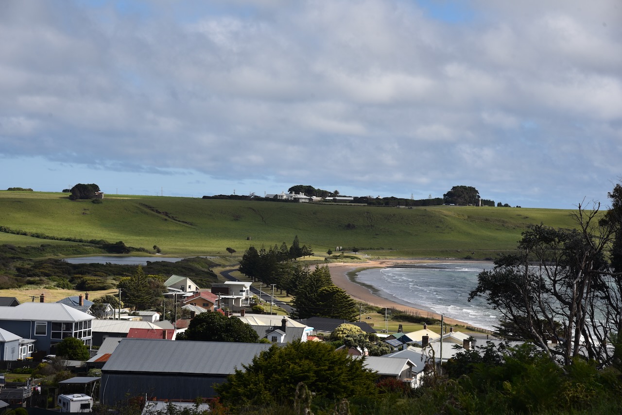
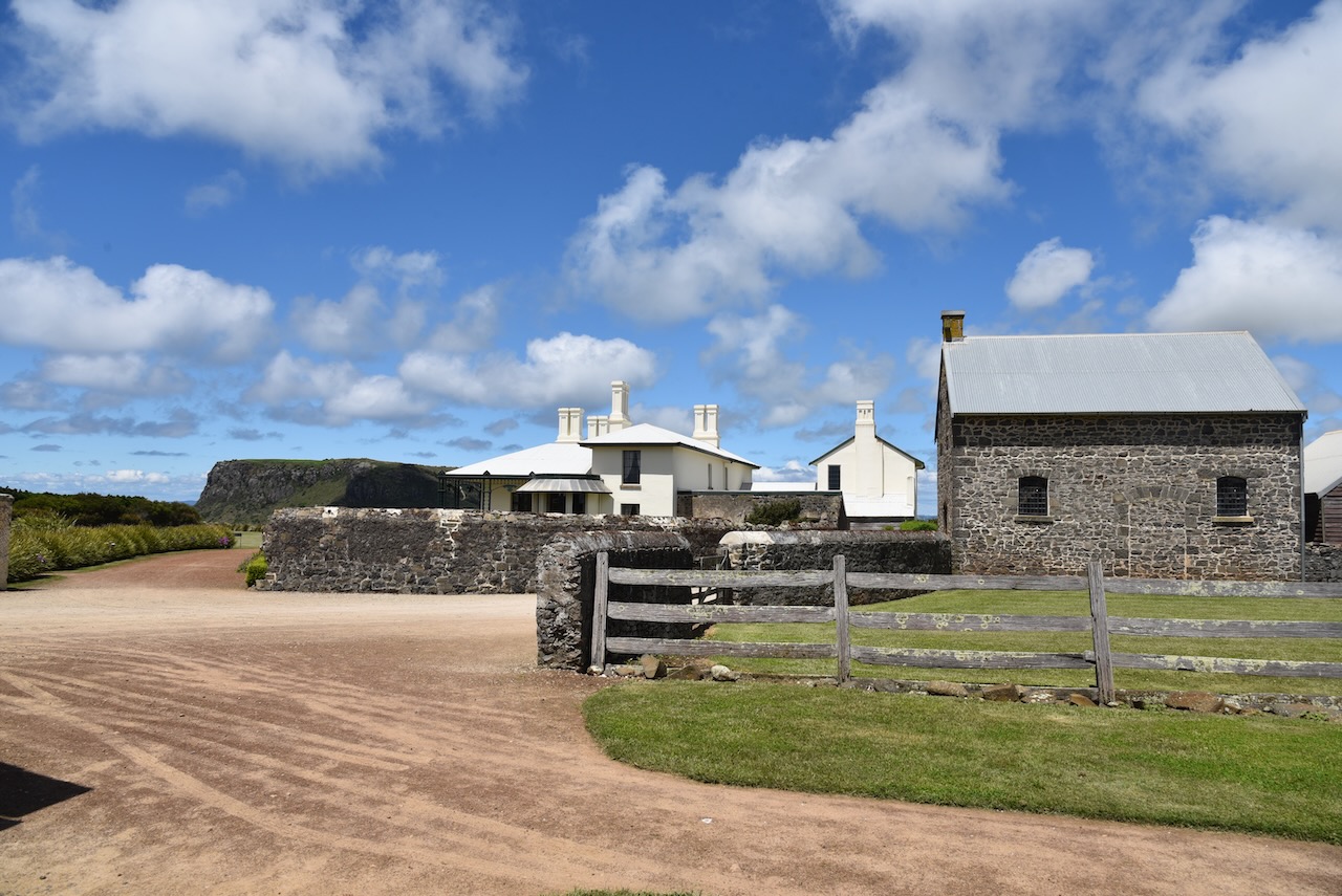
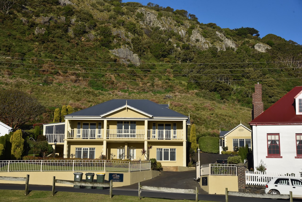
We then booked into our accomodation at On The Terrace at Stanley. We had some nice views of the ocean and The Nut as literally at our back door.
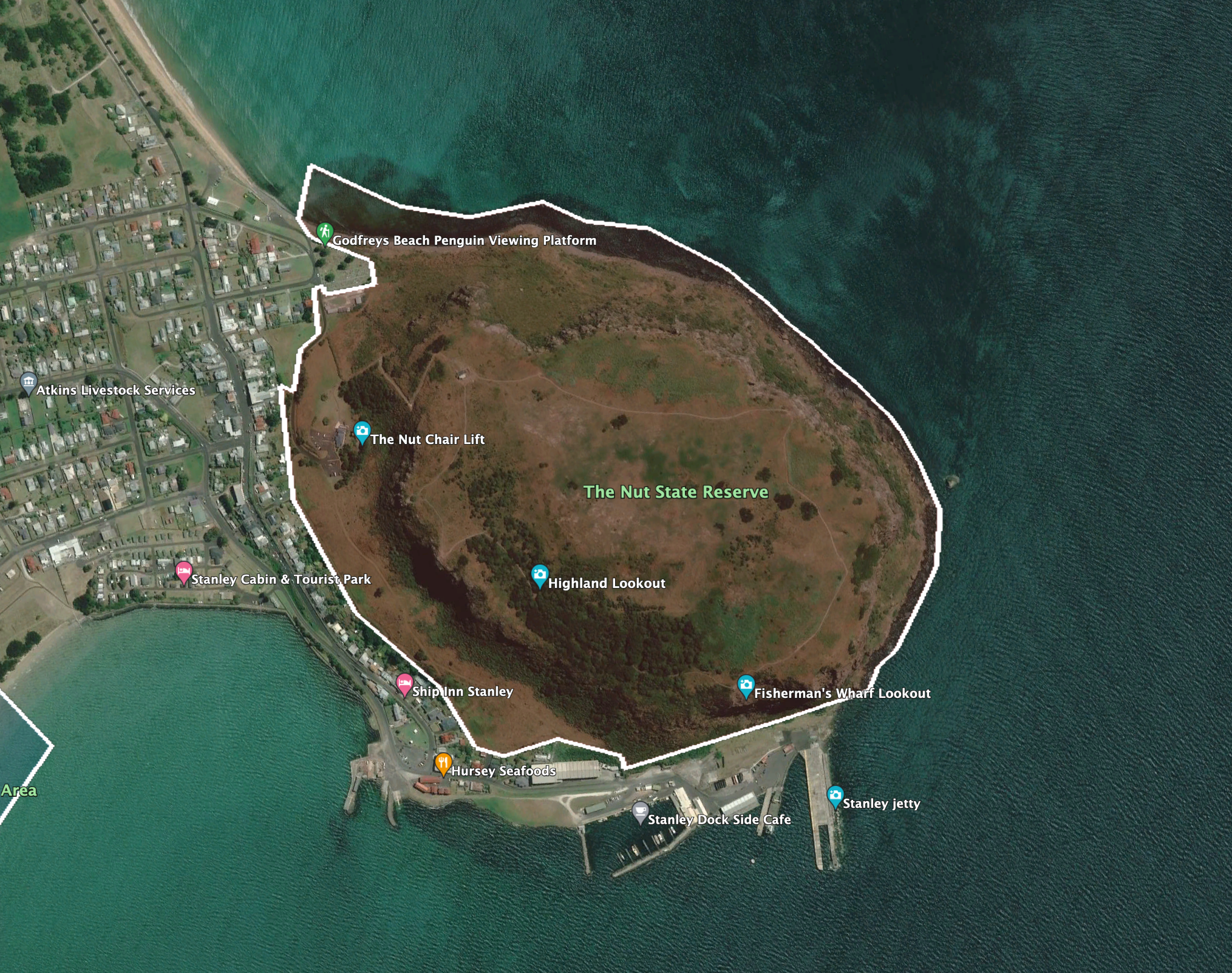
It was a beautiful evening so Marija and I decided rather than sit in our accomodation, we would take advantage of the weather and have a look around the town of Stanley by doing the Stanley Heritage Walk.
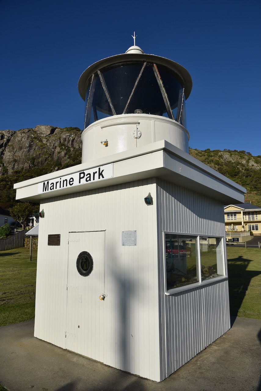
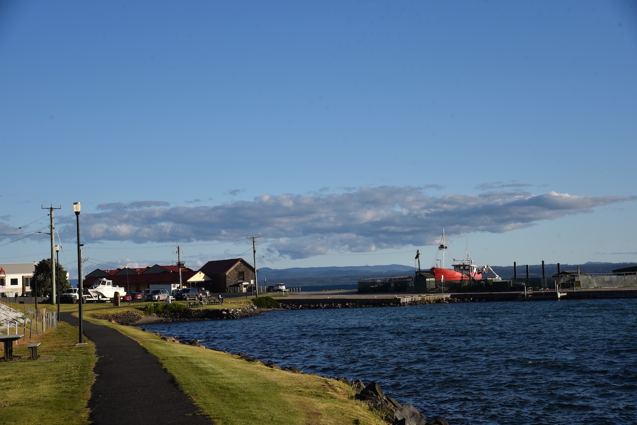
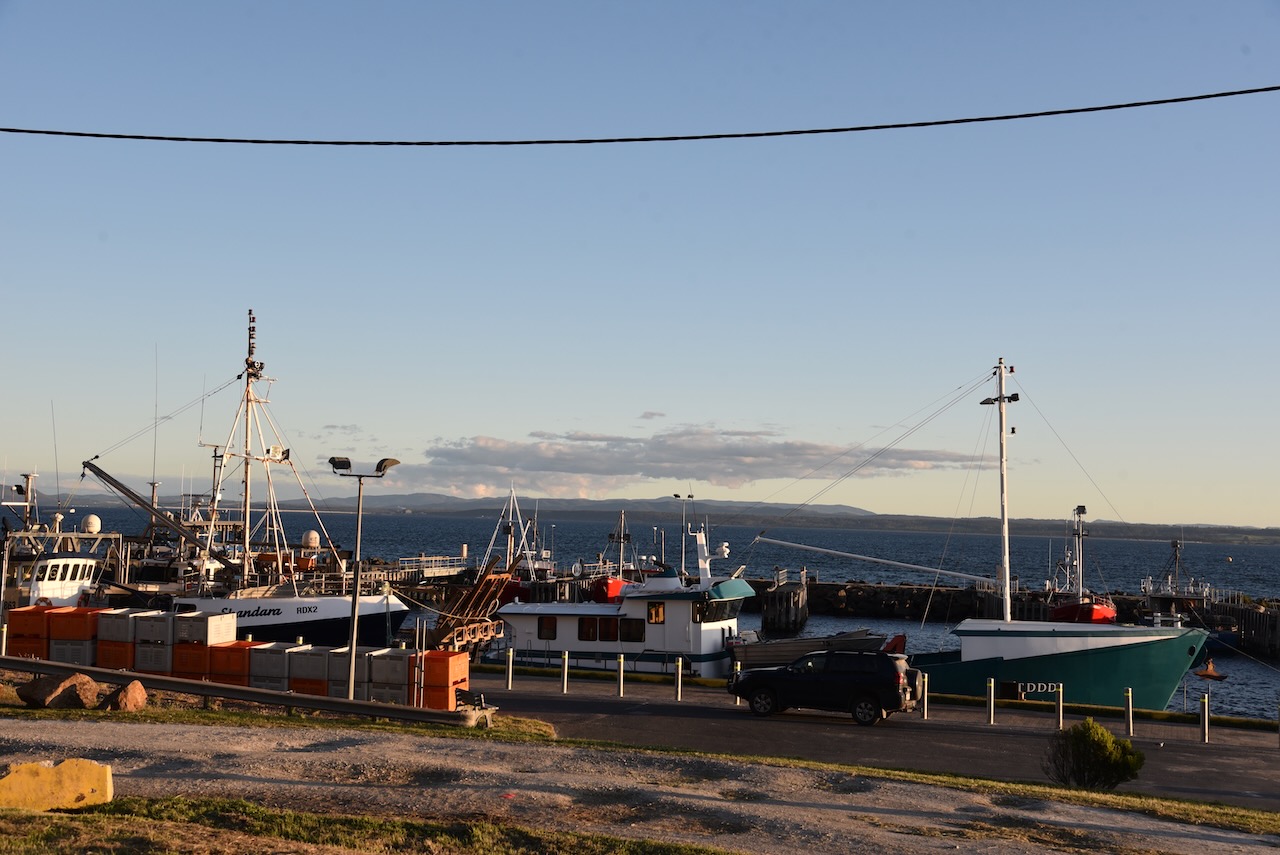
We started at Marine Park directly opposite our accomodation. The park overlooks Little Wharf which was once the bustling heartbeat of Stanley. It was here on Wharf Road that famous writer and artist, Me Eldridge grew up during the 1920s.
There is also a memorial here for Patrick ‘Kermie’ Hersey who lost his life at sea in 1986. The following is on the memorial:
“On the morning of 11th May 1986, Patrick was requested to go to the aid of line tower Tony Dicker who had been sighted by air 18 miles east of Stanley in gale force winds and treacherous seas. While manoeuvering his boat the ‘Moya Ann’ into position to attempt the rescue, a huge breaking wave tore through the boat. After vain rescue efforts by fellow seaman Phil Critchlow, the deckhand was saved but Patrick’s life was lost’.
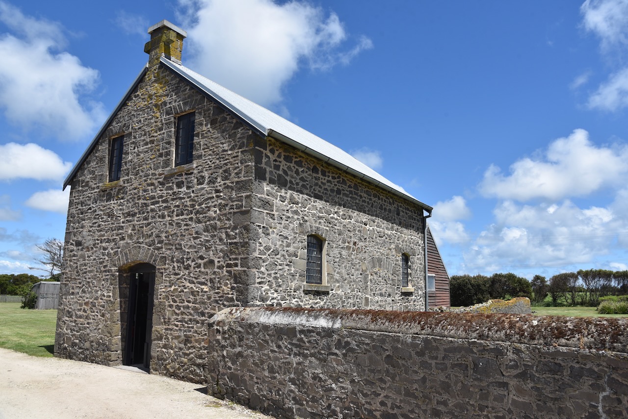
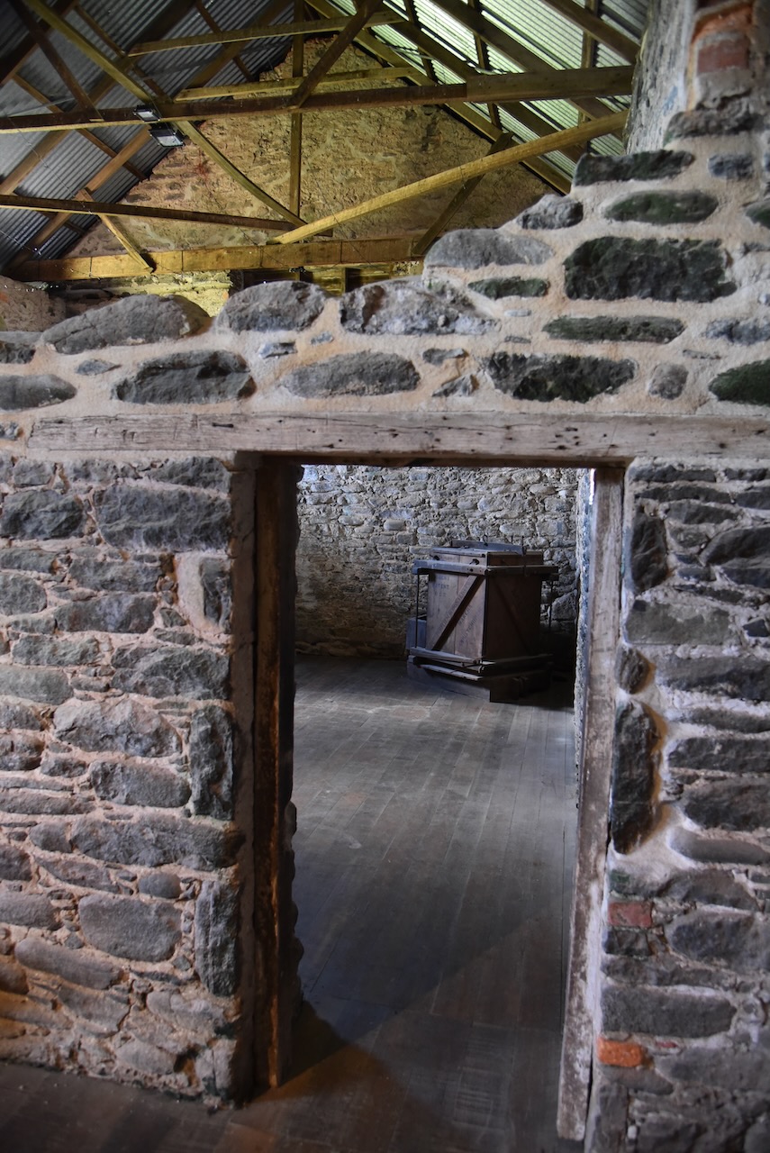
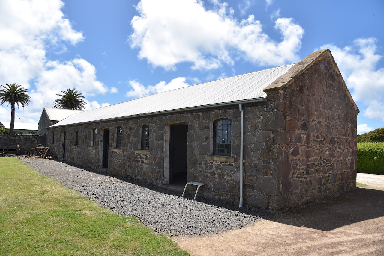
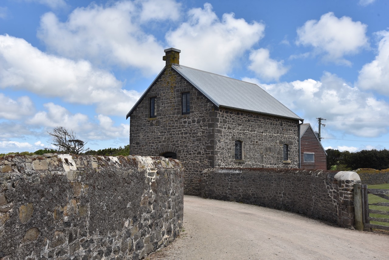
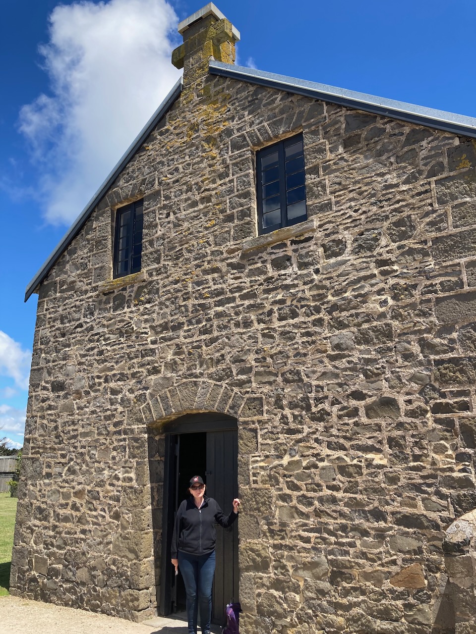
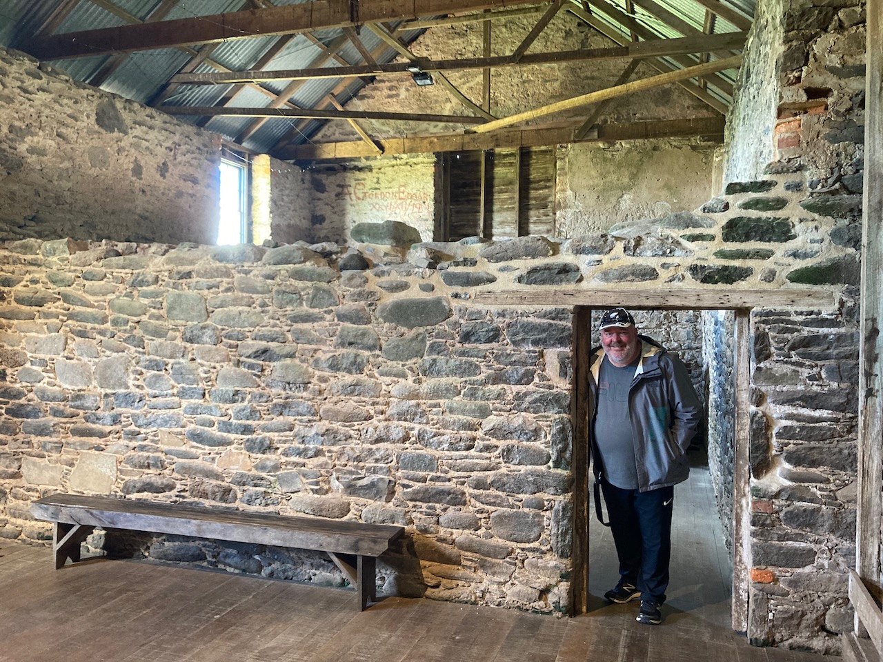
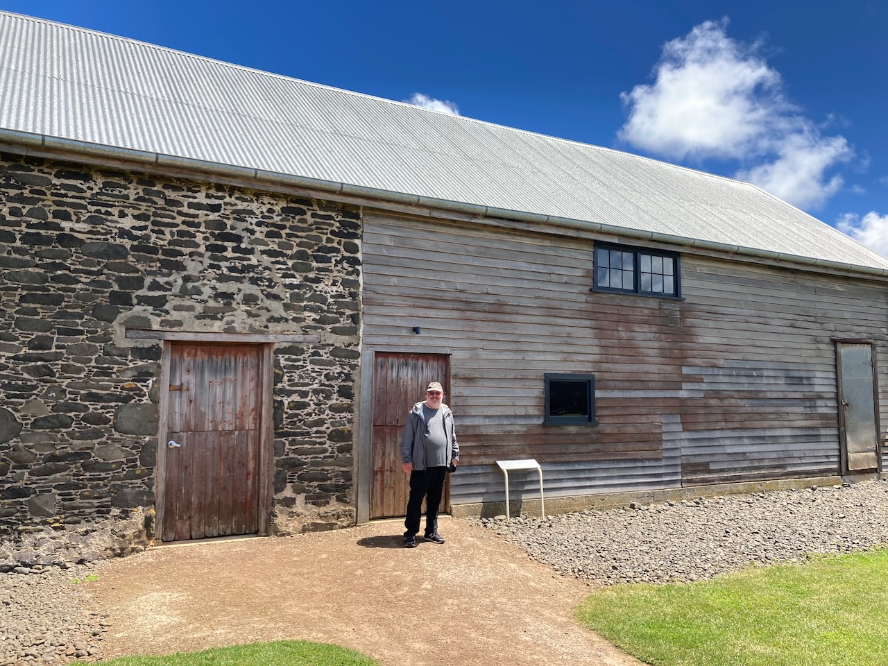
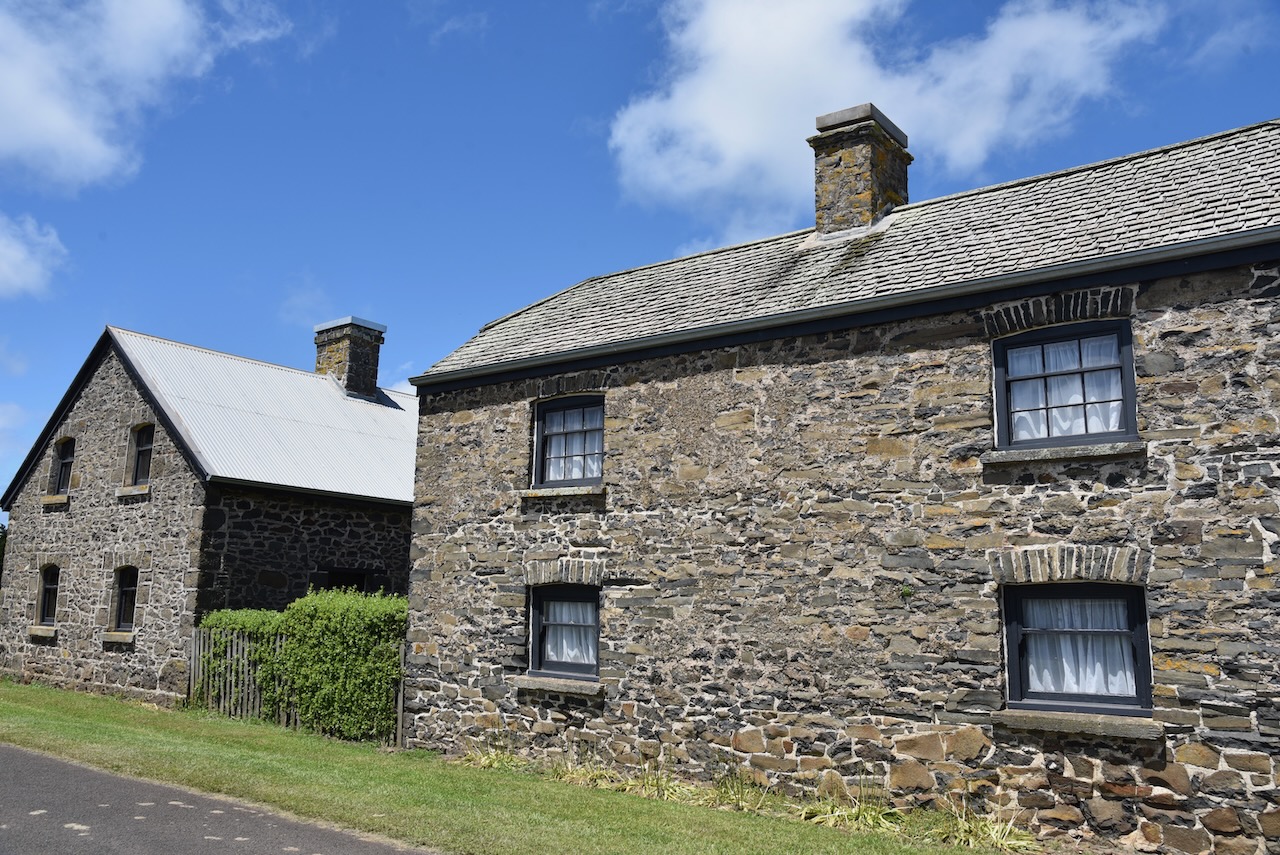
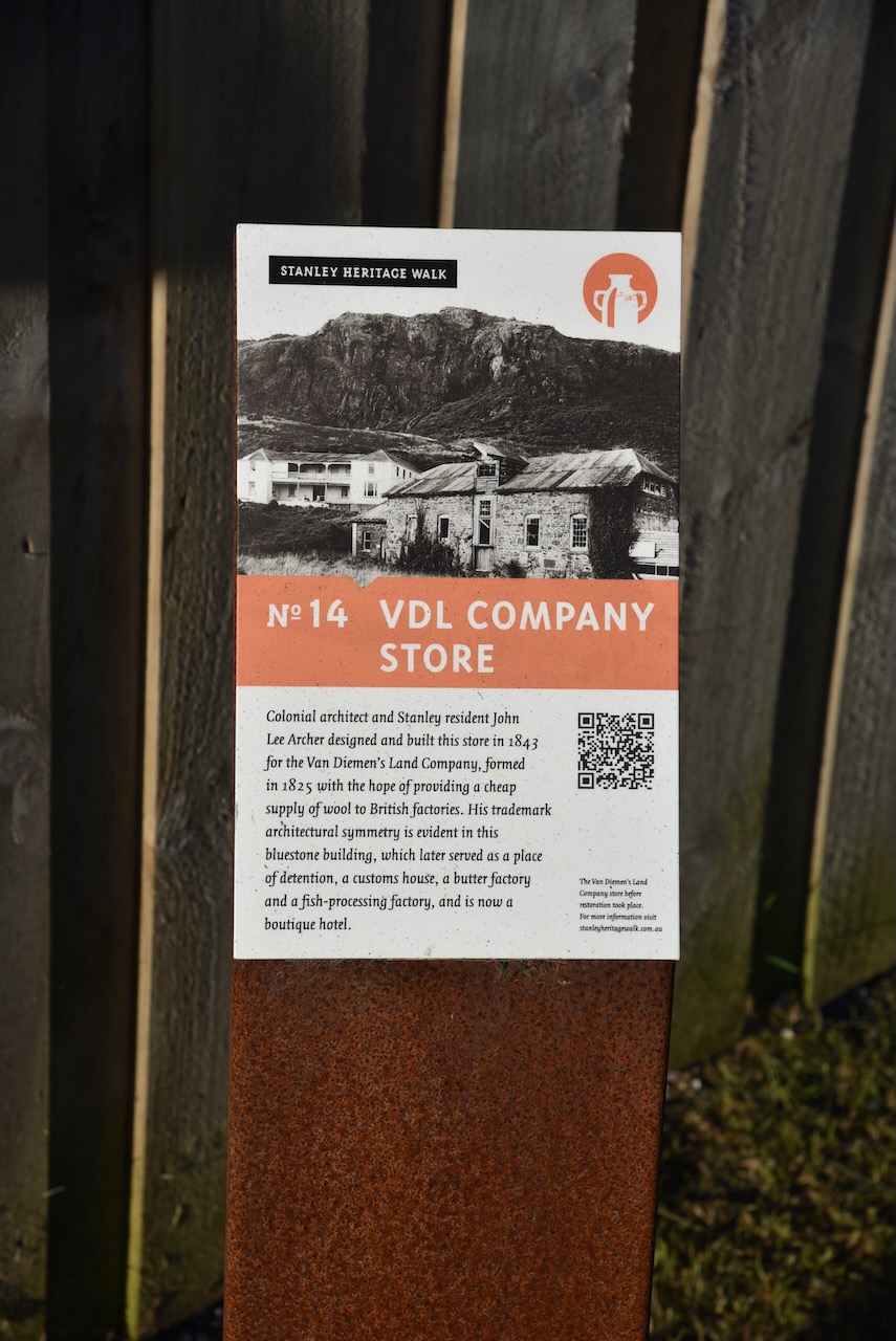
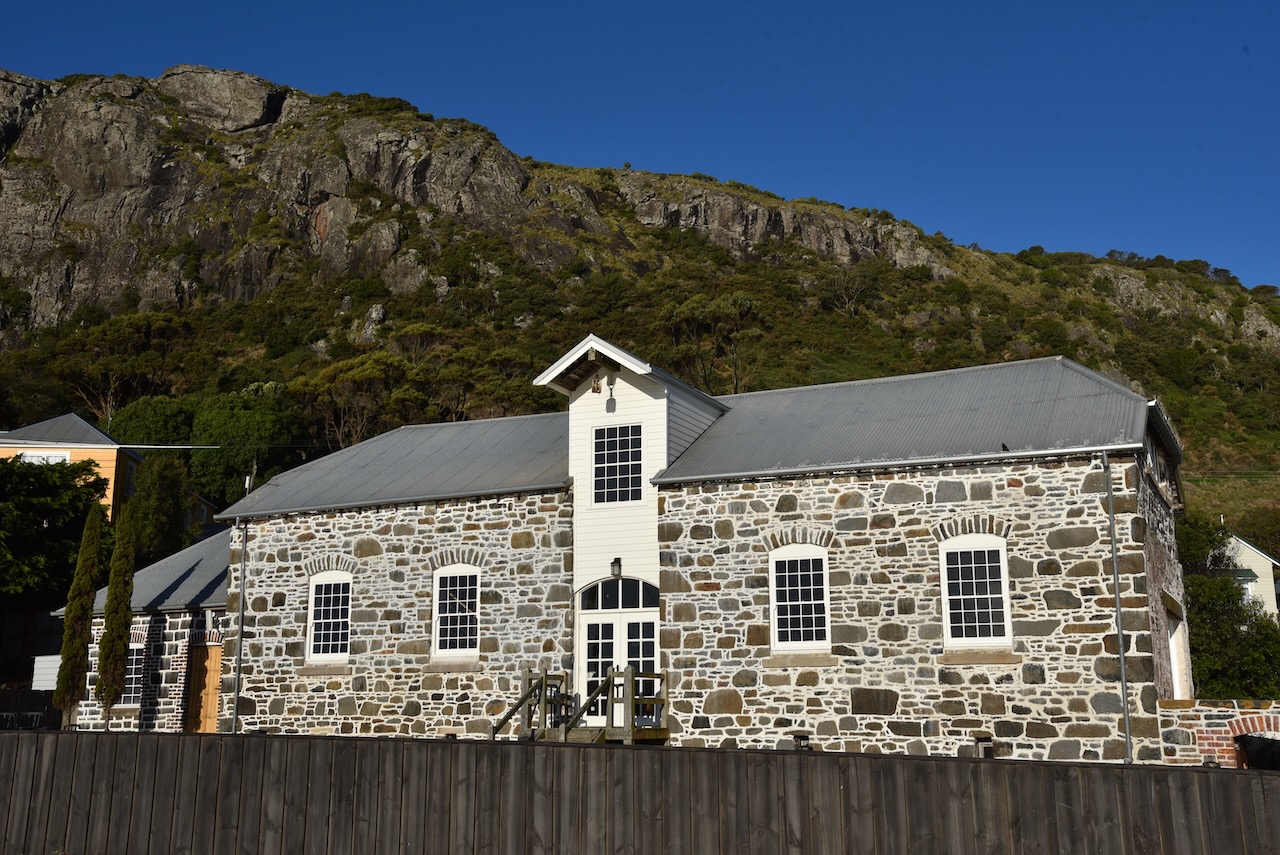
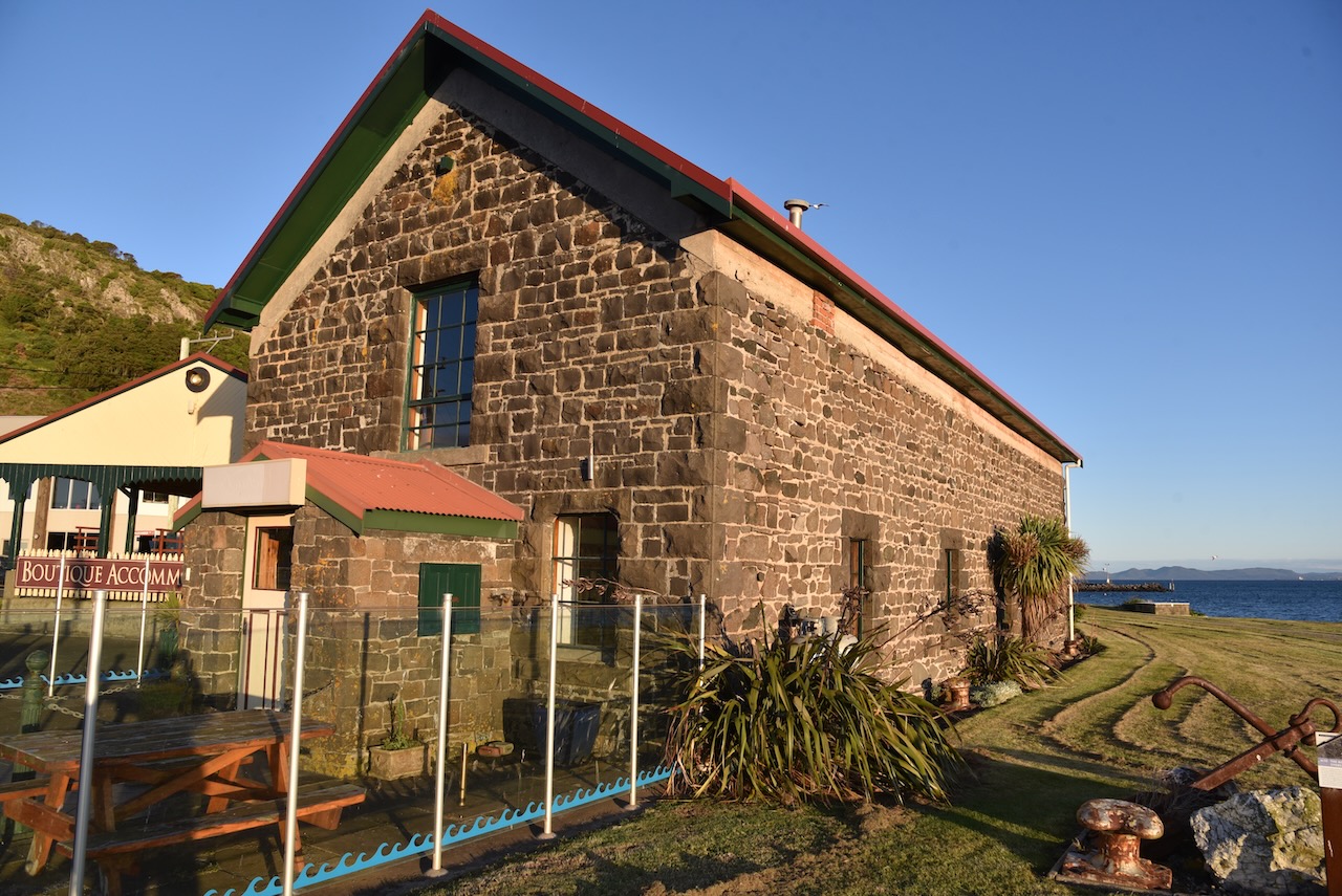
The Van Dieman’s Land Company Store was built in 1843 and was designed by Colonial architect and Stanley resident John Lee Archer. The bluestone building was used as a store, and later a place of detention, a customs house, a butter factory, a fish processing factory, and now a boutique hotel.
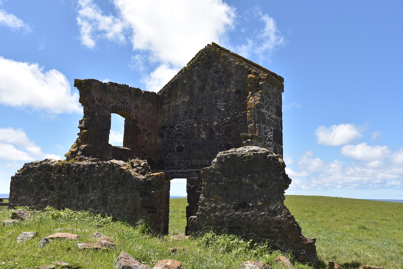
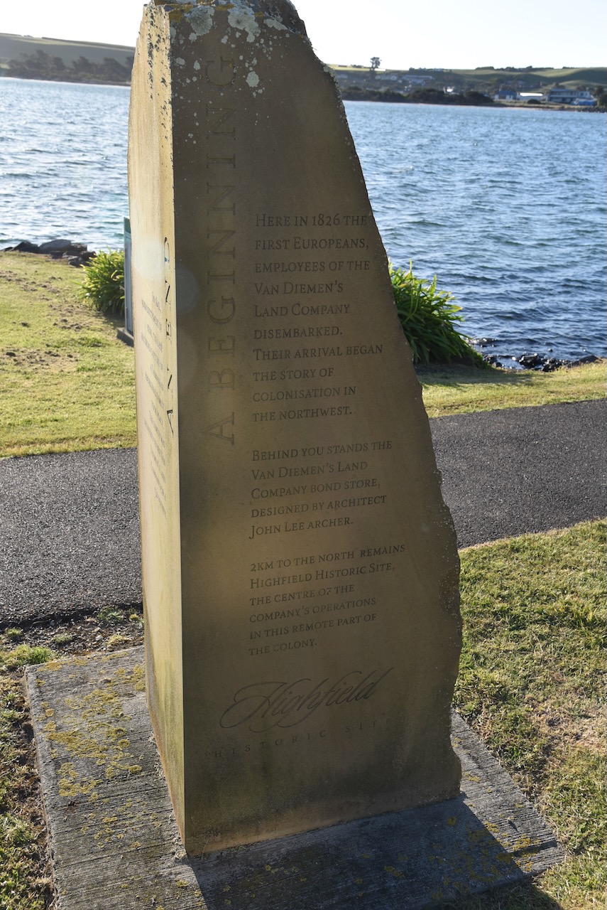
A little further along is a memorial. In 1842, 90 km south west of its location, the last recorded capture of a Tasmanian aboriginal family took place. The family was delivered to the Van Dieman’s Land Company for a 50 pound bounty. It also records that in 1826 the first Europeans, employers of the Van Dieman’s Land Company, disembarked and thus the colonisation of the northwest by the Europeans.
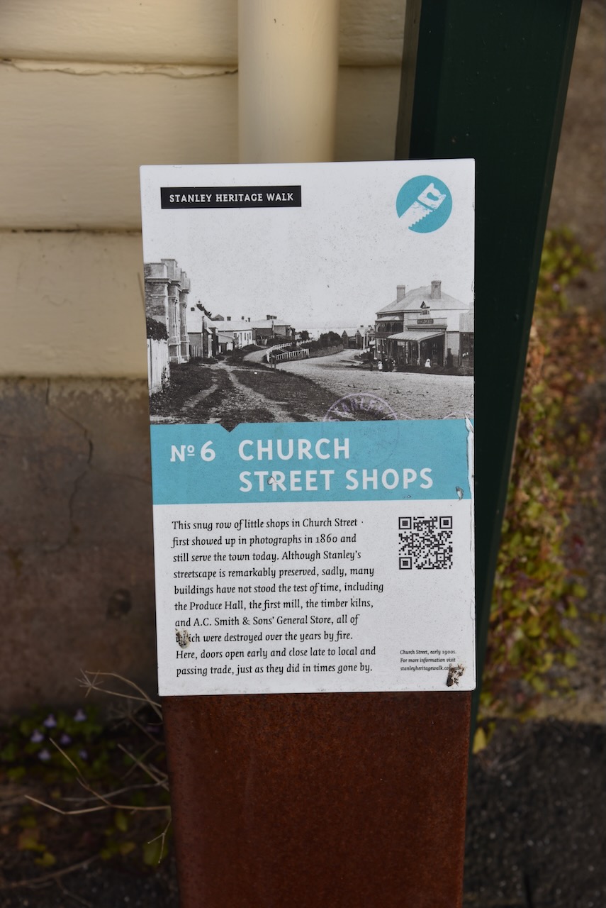
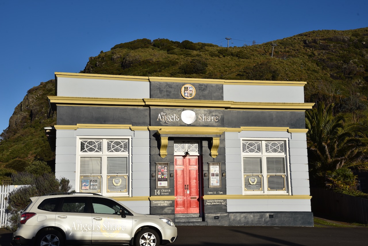
There are a number of historic shops located in Church Street, Stanley. Unfortunately many other historic Stanley buildings along Church Street have been destroyed by fire over the years. This includes the Produce Hall, the first mill, the timber kilns, and A.C. Smith & Sons General Store.
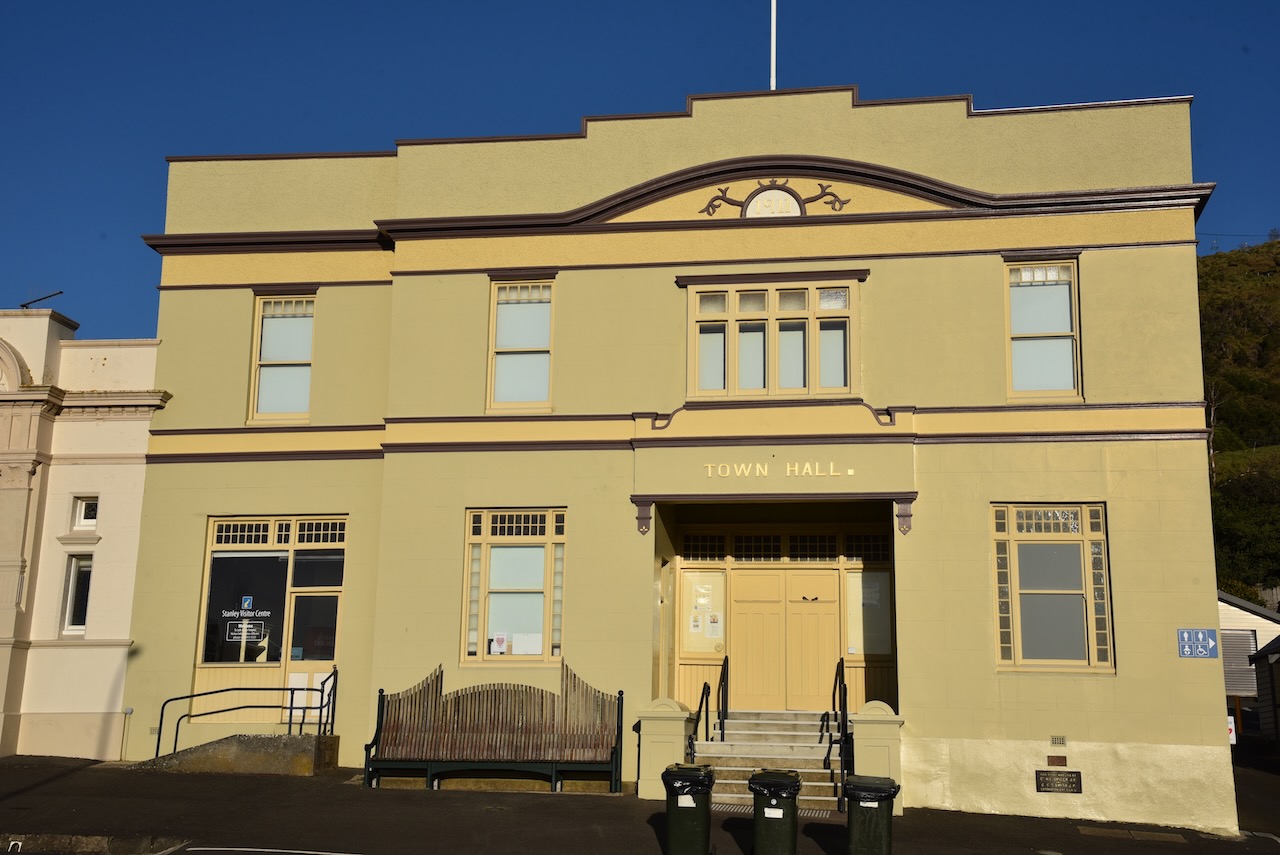
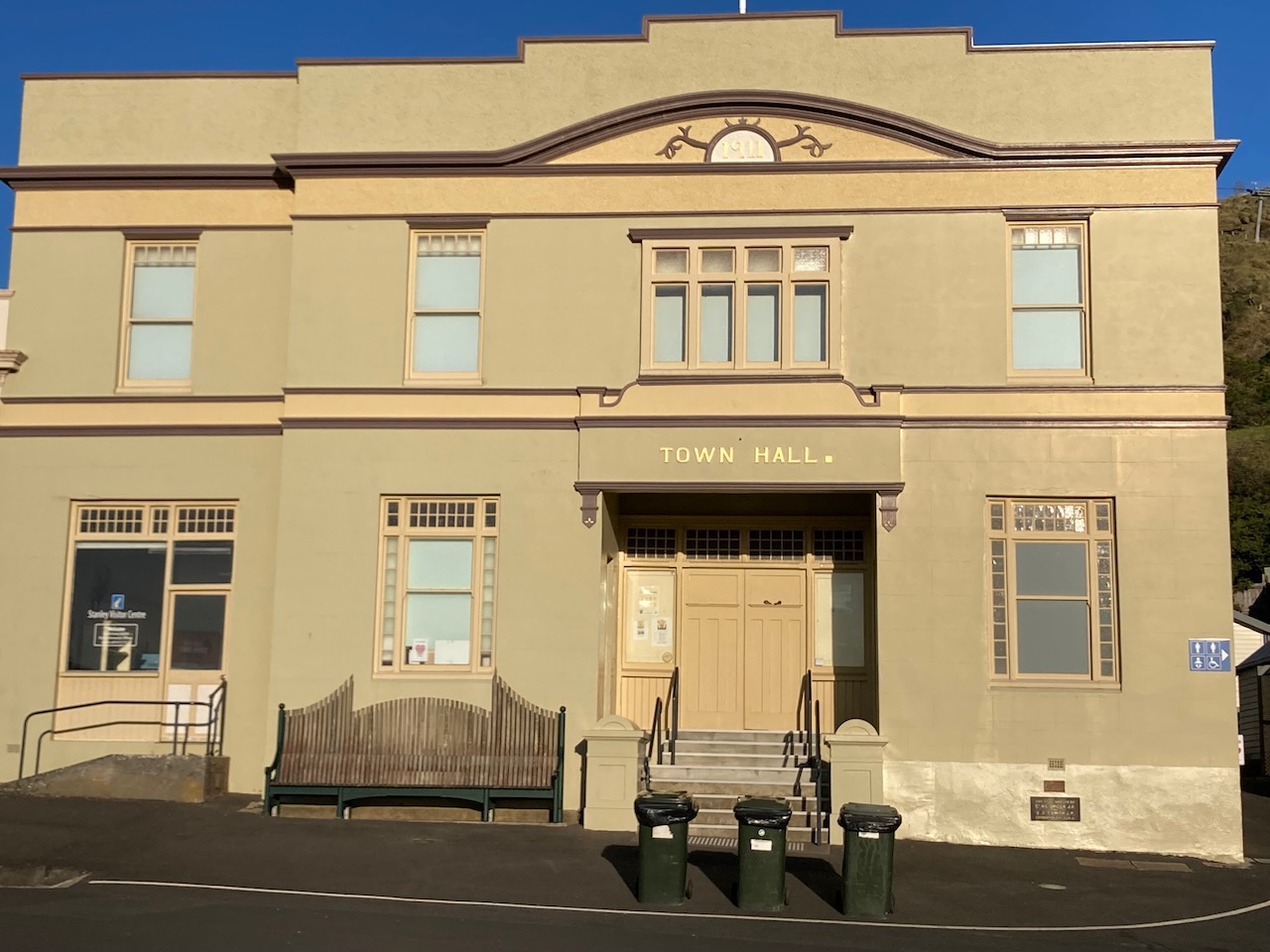
The Stanley Town Hall was opened in 1911. It was designed by architect Alexander North (b. 1858. d. 1945) and was built by W. McDonald of Launceston.
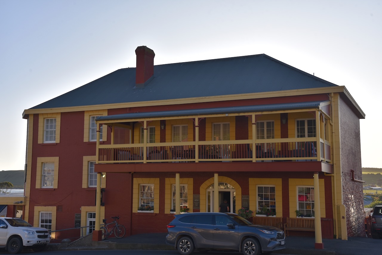
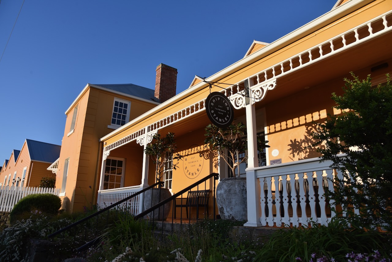
The historic Stanley Hotel was built in 1847. It has traded since that time under various names including the Emily, Freemason’s, The Union and now the Stanley Hotel.
In 1828 John Whitbread arrived in Van Dieman’s Land as a convict, having been transported for poaching rabbits in England, aged just 15 years. He received seven years transportation. As a free man, he later settled in Stanley and purchased a block of land from the Van Dieman’s Land Company for £20. He constructed a building on the land and it commenced operation as the Emily Hotel.
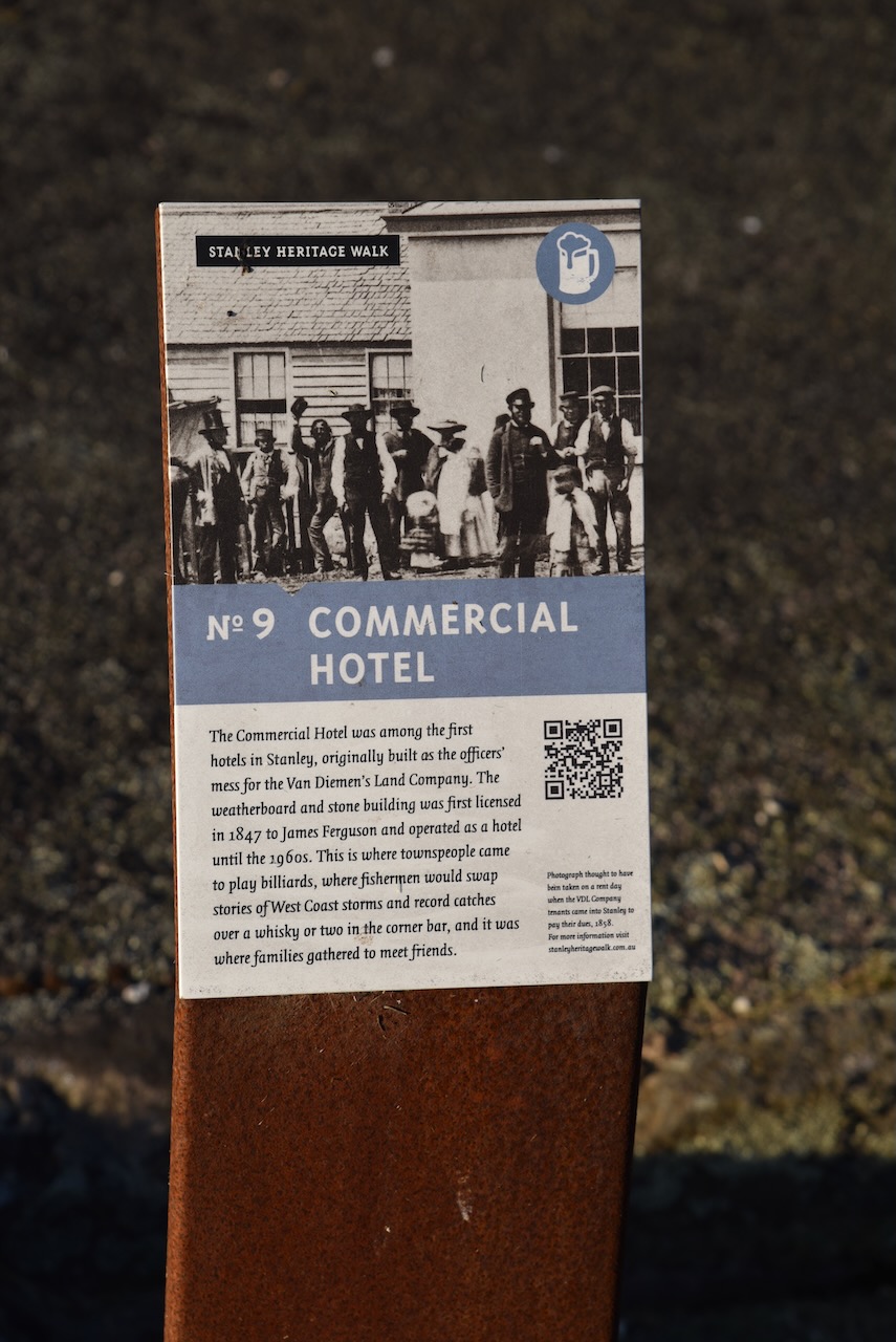
The Commercial Hotel in Stanley was one of the first hotels in the town. It was originally built as the officers mess for the Van Dieman’s Land Company. It was first licenced in 1847 and operated as a hotel until the 1960s.
The Plough Inn is one of Stanley’s oldest buildings, and operated as an Inn until 1876. It subsequently became a pharmacy for over 50 years, a printing press and now privately owned.
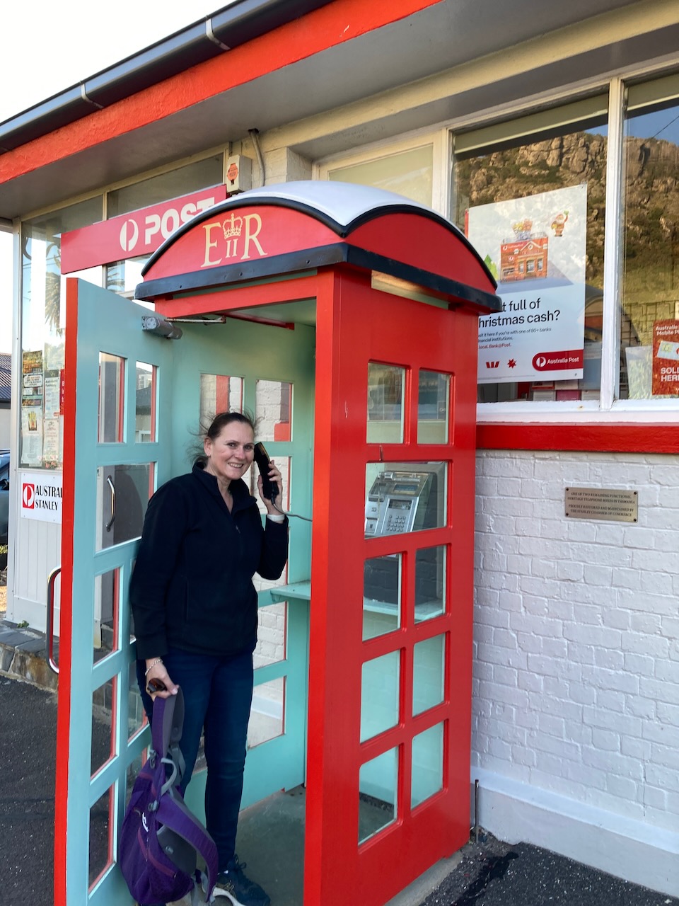
Another interesting thing to see in Stanley is one of two remaining functional heritage telephone boxes in Tasmania.
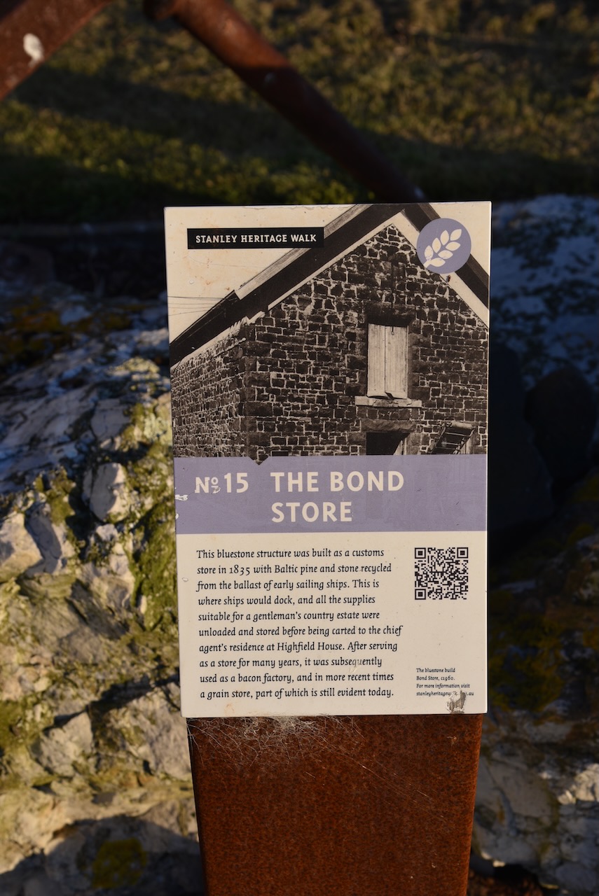
The Bond Store, constructed of bluestone, was built in 1835. Stores and supplies from docking ships were stored here. It was later used a bacon factory and a grain store.
The Bay View Hotel commenced its life as The Shamrock Inn in 1849. The first licence for the Inn waas issued to Michael Lyons, the grandfather of former Prime Minister Joseph Lyons.
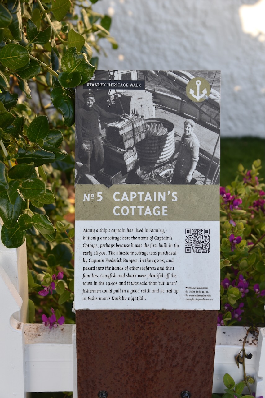
Captain’s Cottage was built in the 1830s.
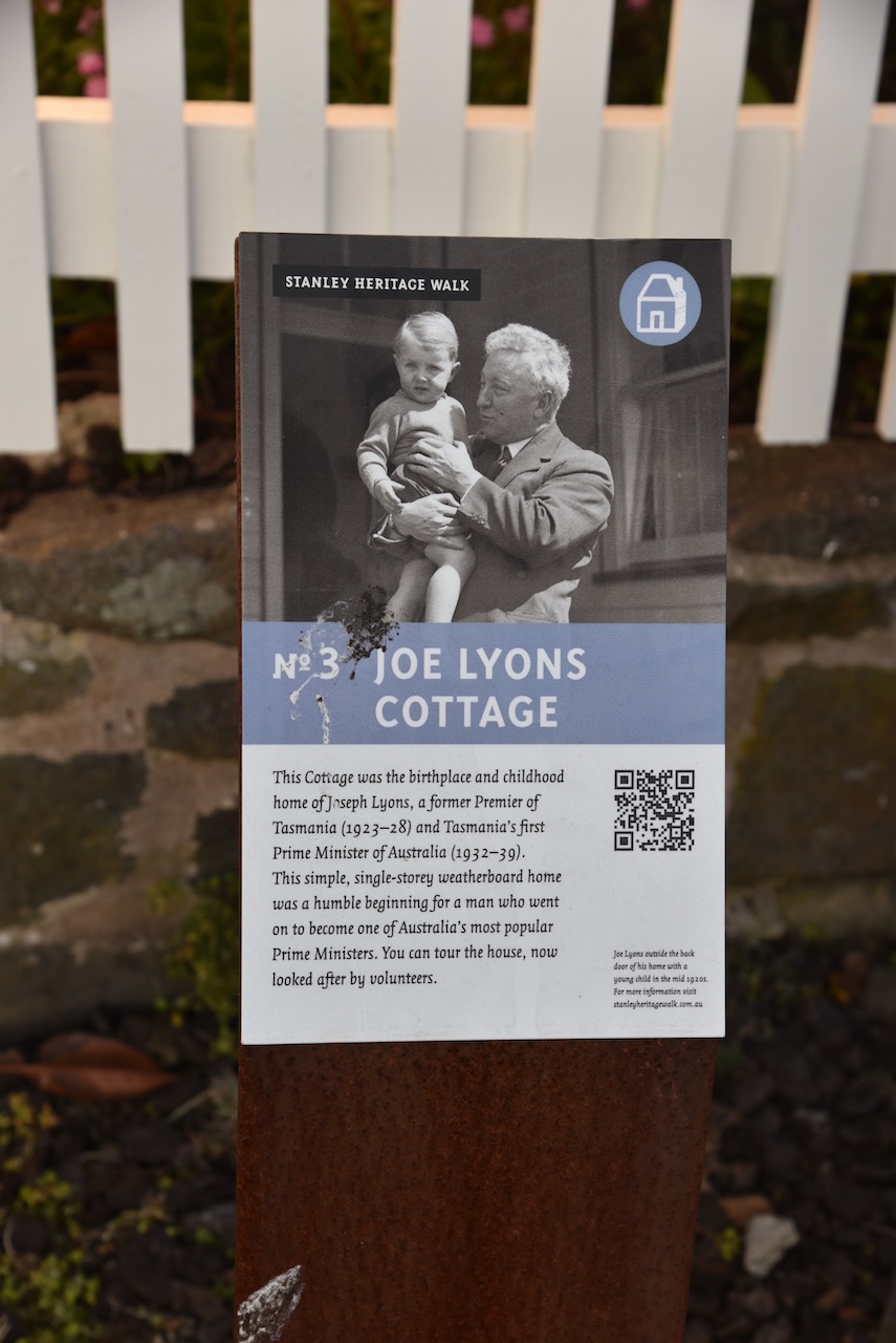
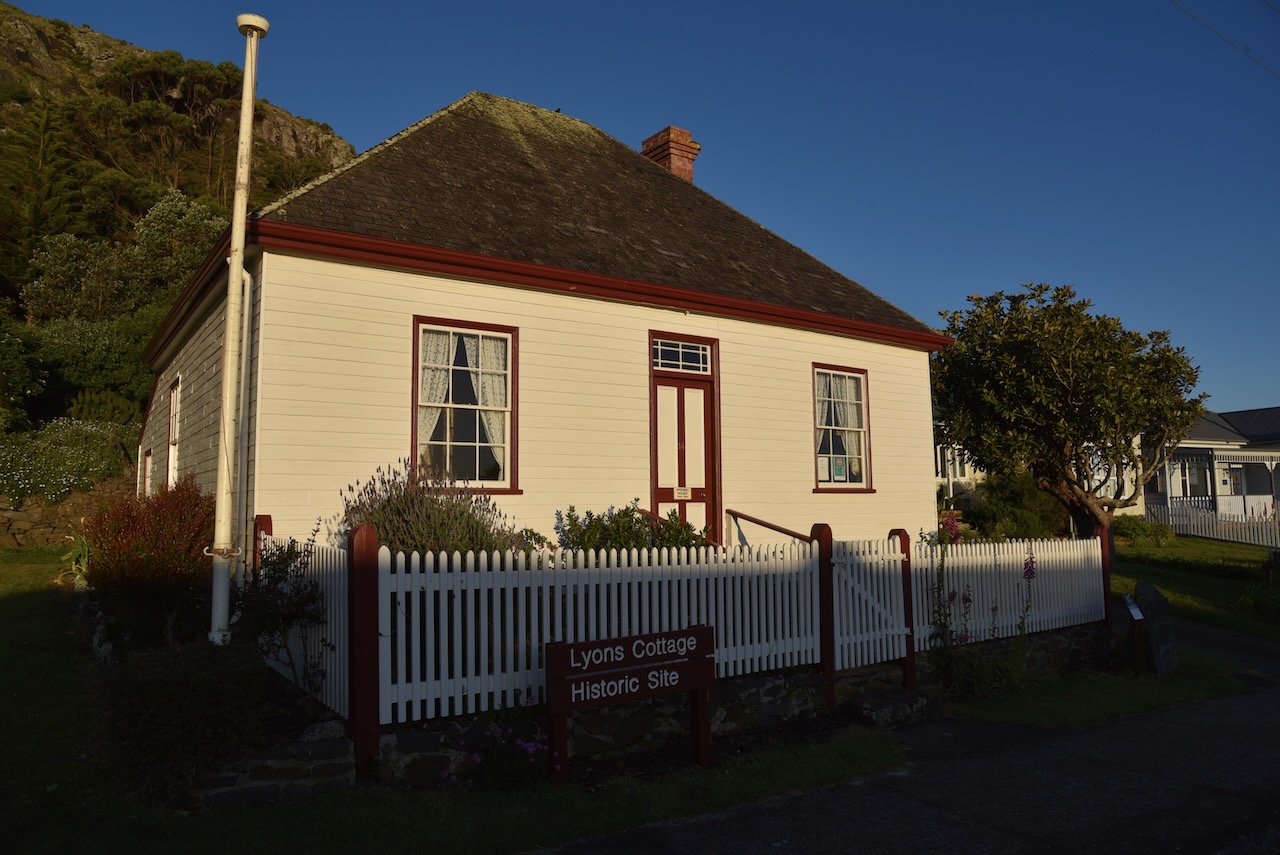
Joe Lyon’s cottage is the birthplace and childhood home of former Tasmanian Premier and Australian Prime Minister, Joseph Lyons. He served as the Tasmanian Premier from 1923-1928 and then as Prime Minister from 1932-1939.
In Alexander Terrace is a two storey cottage built in 1839 for one of King George IV’s many illegitimate sons, believed to be Samuel Blackwell.
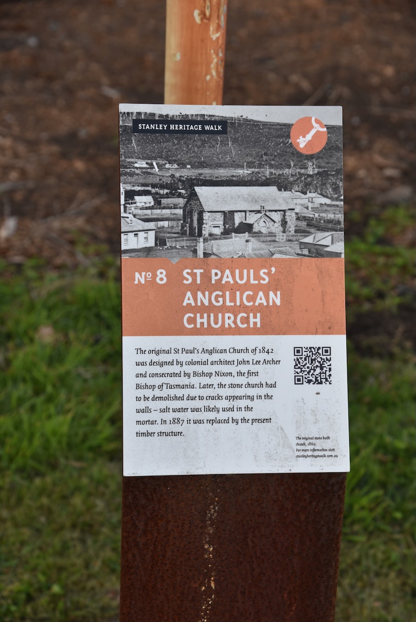
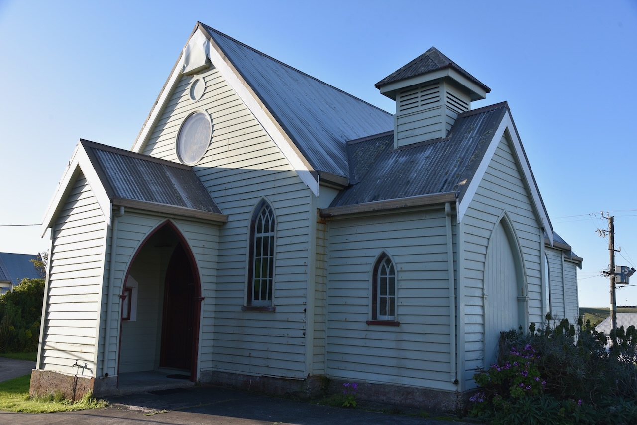
The present St Paul’s Anglican Church constructed of timber was built in 1887. The original St Paul’s was built in 1842 and waas designed by Colonial Architect John Lee Archer.
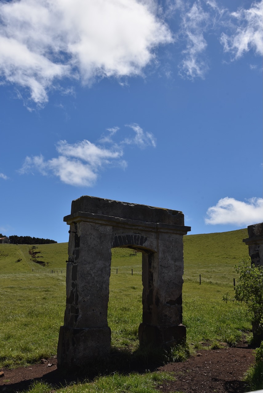
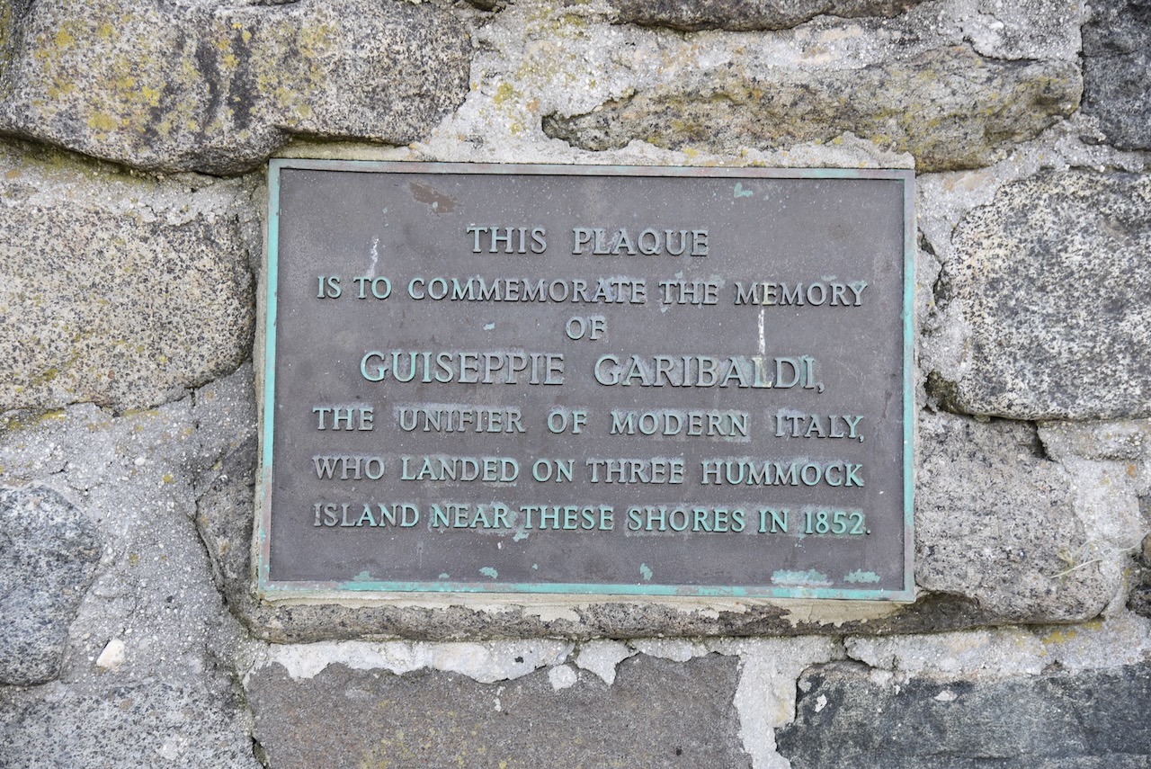
You can also find a memorial cairn with a number of plaques. One of those is for Guiseppie Garibaldi, the uniter of modern Italy, who landed on Three Hummock Island near this location in 1852. Another plaque commemorates the naming of Circular Head by Matthew Flinders in 1798. While another is to commemorate the visit to Stanley of the replica sloop Norfolk in 1998, nearly 200 years after Flinders and Bass sailed passed the area naming Cicfular Head.
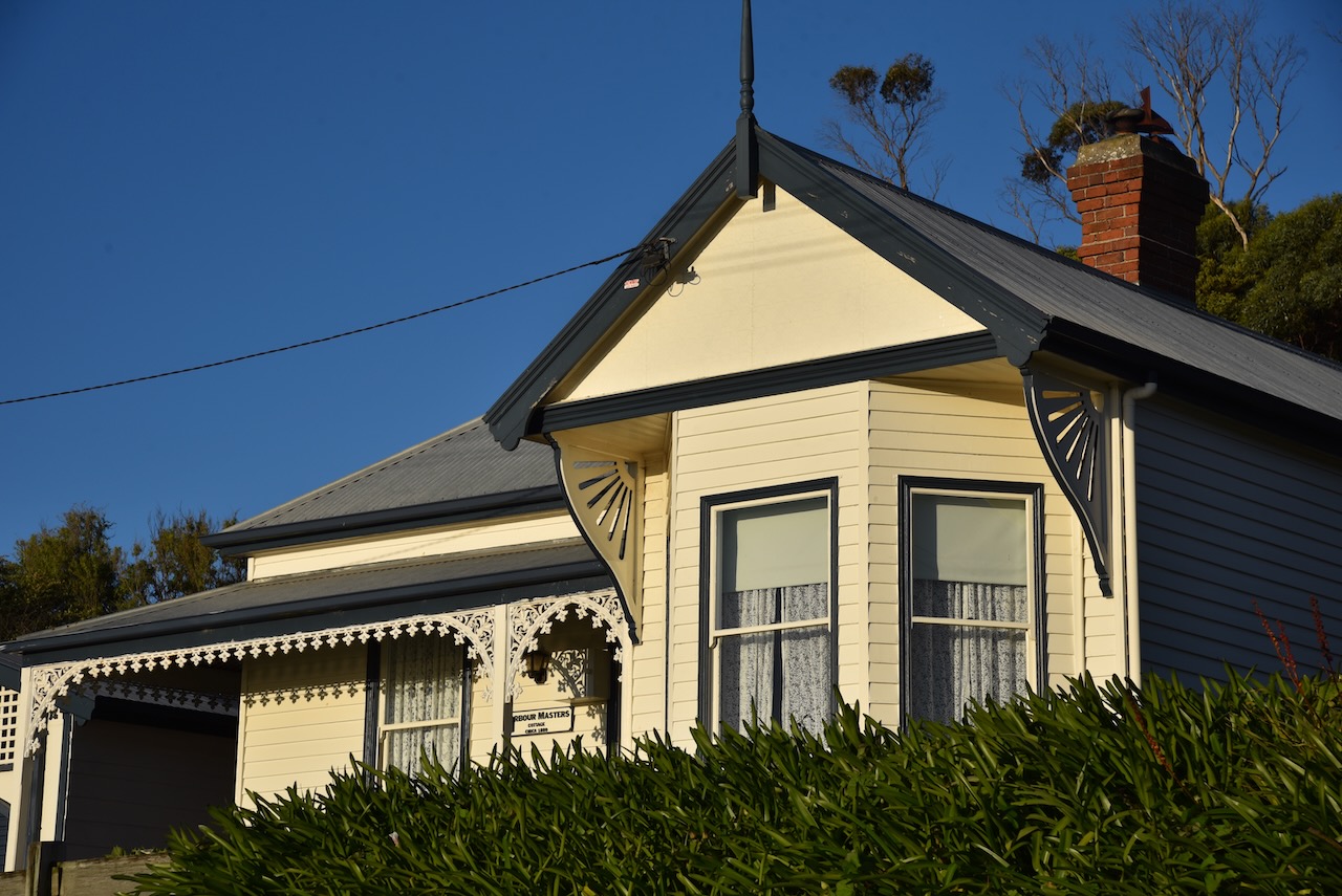
There are numerous other historic buildings to be viewed including the Harbourmaster’s cottage which waas built in 1880.
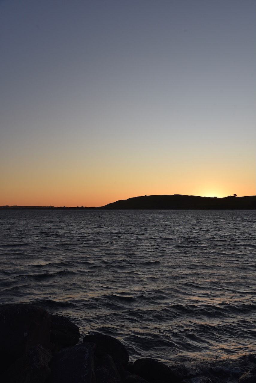
We then enjoyed a beautiful sunset before having a late evening meal.
References.
- Our Tasmania, 2023, <https://www.ourtasmania.com.au/northwest/stanley-walk.html>, viewed 7th January 2023.
- Stanley Hotel and Apartments, 2023, <https://www.stanleytasmania.com.au/history-of-stanley-hotel>, viewed 7th January 2023.
- Stanley Town Hall, 2023, <http://www.stanleytownhall.com.au/a-brief-history-of-the-town-hall/>, viewed 7th January 2023.
- Stream Design, 2023, <https://www.streamdesign.com.au/goldie-street-mural-wall/>, viewed 7th January 2023.
- Waratah Wynyard Council, 2023, <https://www.warwyn.tas.gov.au/park-recreation/fossil-bluff-2/>, viewed 7th January 2023.
- Waratah Wynyard Council, 2023, <https://www.warwyn.tas.gov.au/our-place/history/>, viewed 7th January 2023.
- Wikipedia, 2023, <https://en.wikipedia.org/wiki/Wynyard,_Tasmania>, viewed 7th January 2023.
- Wikipedia, 2023, <https://en.wikipedia.org/wiki/Table_Cape>, viewed 7th January 2023.
- Wikipedia, 2023, <https://en.wikipedia.org/wiki/Port_Latta,_Tasmania>, viewed 7th January 2023.