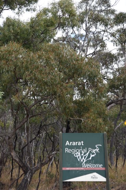
It was time for another anniversary activation weekend for the VK5 National & Conservation Parks Award. This time we were celebrating 4 years of the VK5 Parks Award. And as we have done for the past couple of years, my wife Marija VK5FMAZ and I headed down to the Fleurieu Peninsula south of Adelaide. We had four planned parks to activate over the duration of the weekend: Deep Creek Conservation Park, Talisker Conservation Park, Waitpinga Conservation Park, and Eric Bonython Conservation Park.
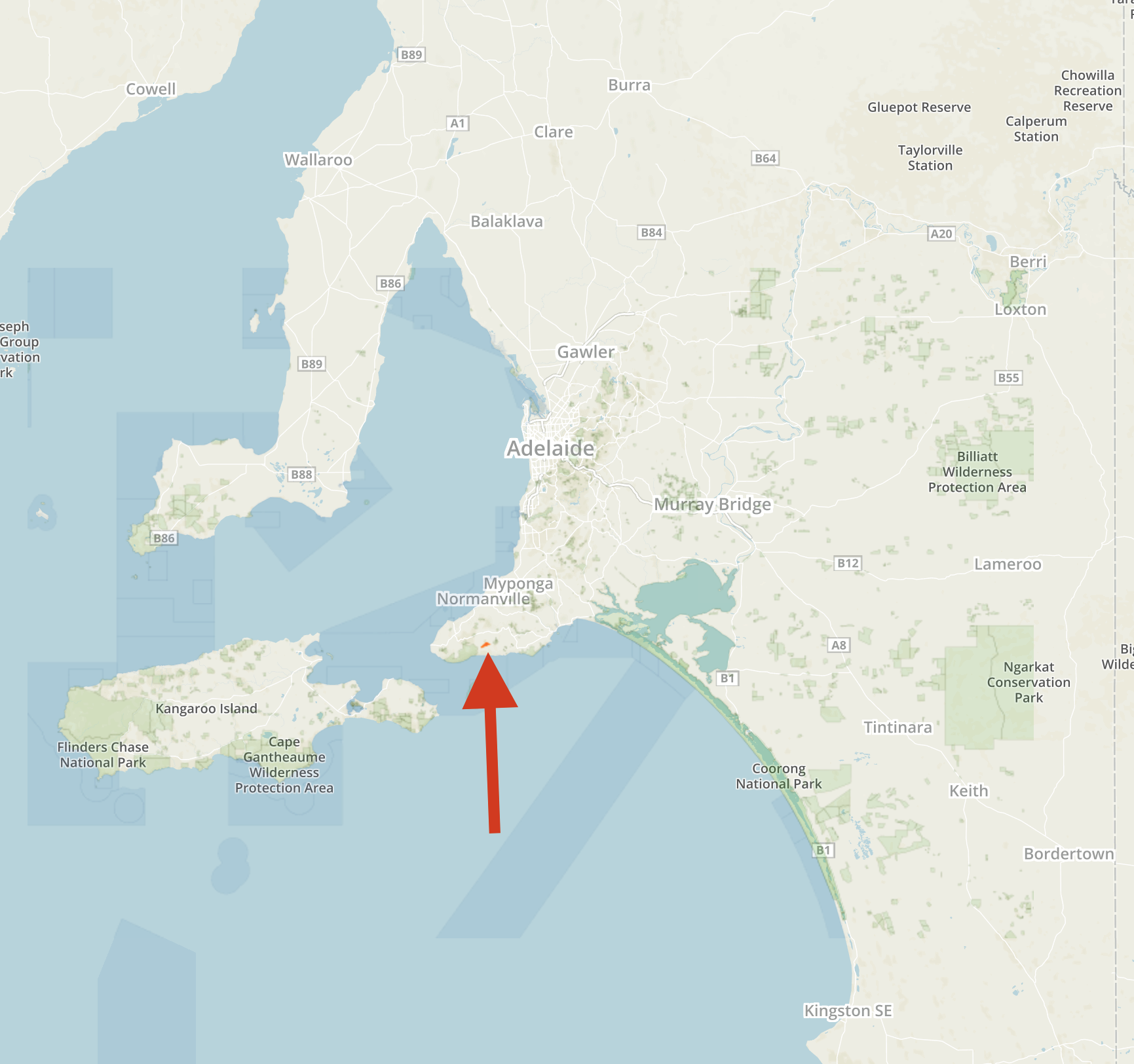
For this stay, Marija and I had booked in to the Deep Creek homestead located within the Deep Creek Conservation Park, about 100 km south of Adelaide.

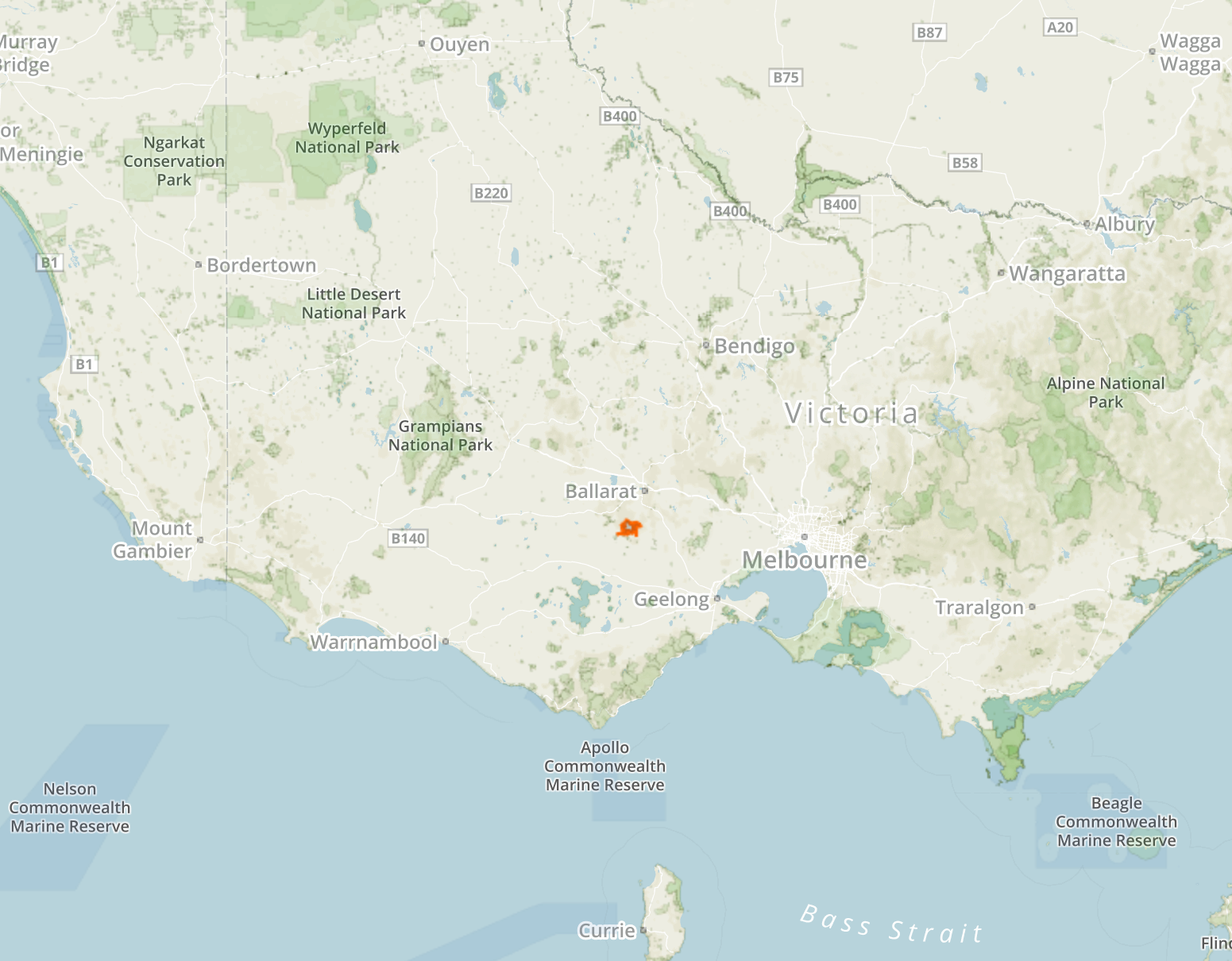
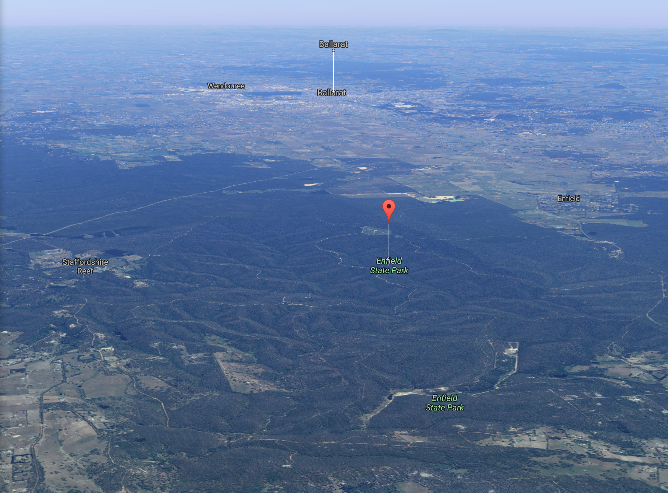
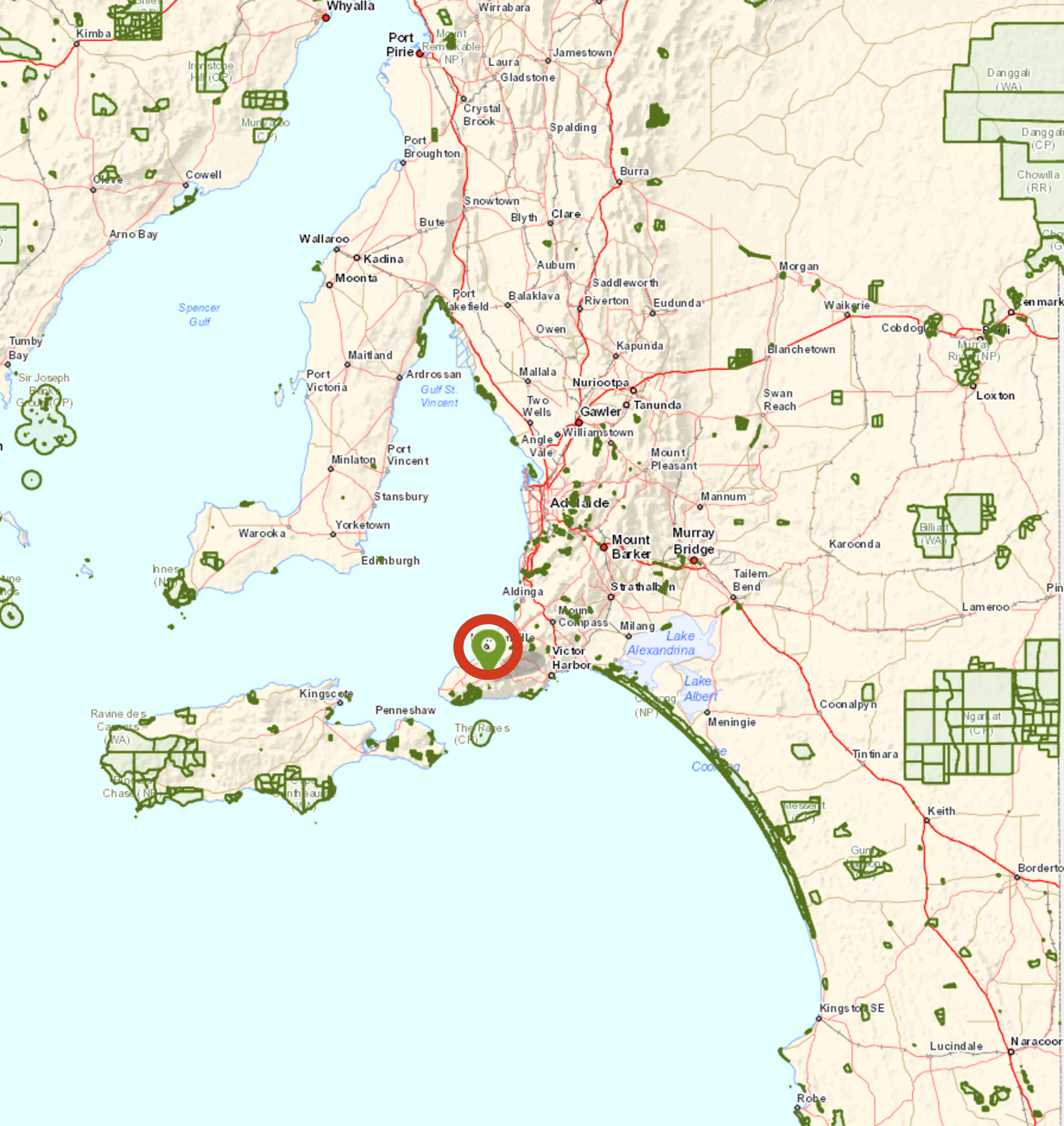
Above:- Map showing the location of the Deep Creek Conservation Park, south of Adelaide. Map courtesy of Protected Planet.
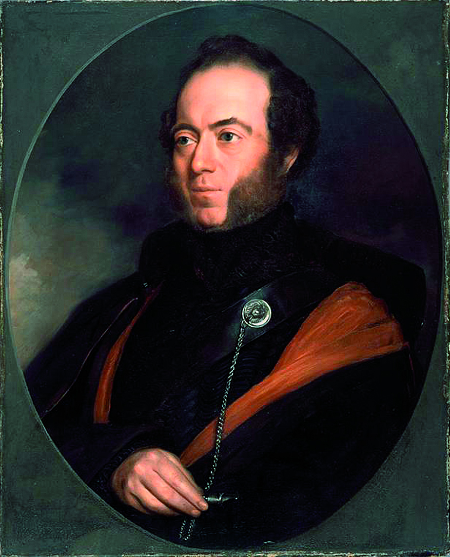
It is a lovely drive from our home in the Adelaide Hills, through the Hills, and then through the Fleurieu Peninsula. The Peninsula was named after Charles Pierre Claret de Fleurieu, the French explorer and hydrographer, by the French explorer Nicolas Baudin during his exploration of the south coast of Australia in 1802.

Above:- Portrait of de Fleurieu. Courtesy of wikipedia.
The drive took us down through Echunga, Meadows, Mount Compass, Yankalilla, Second Valley, and then Delamere. We then travelled along Range Road, and Tapanappa Road until we reached gate 29. The Deep Creek Homestead was visible from here down in the gully amongst the scrub.
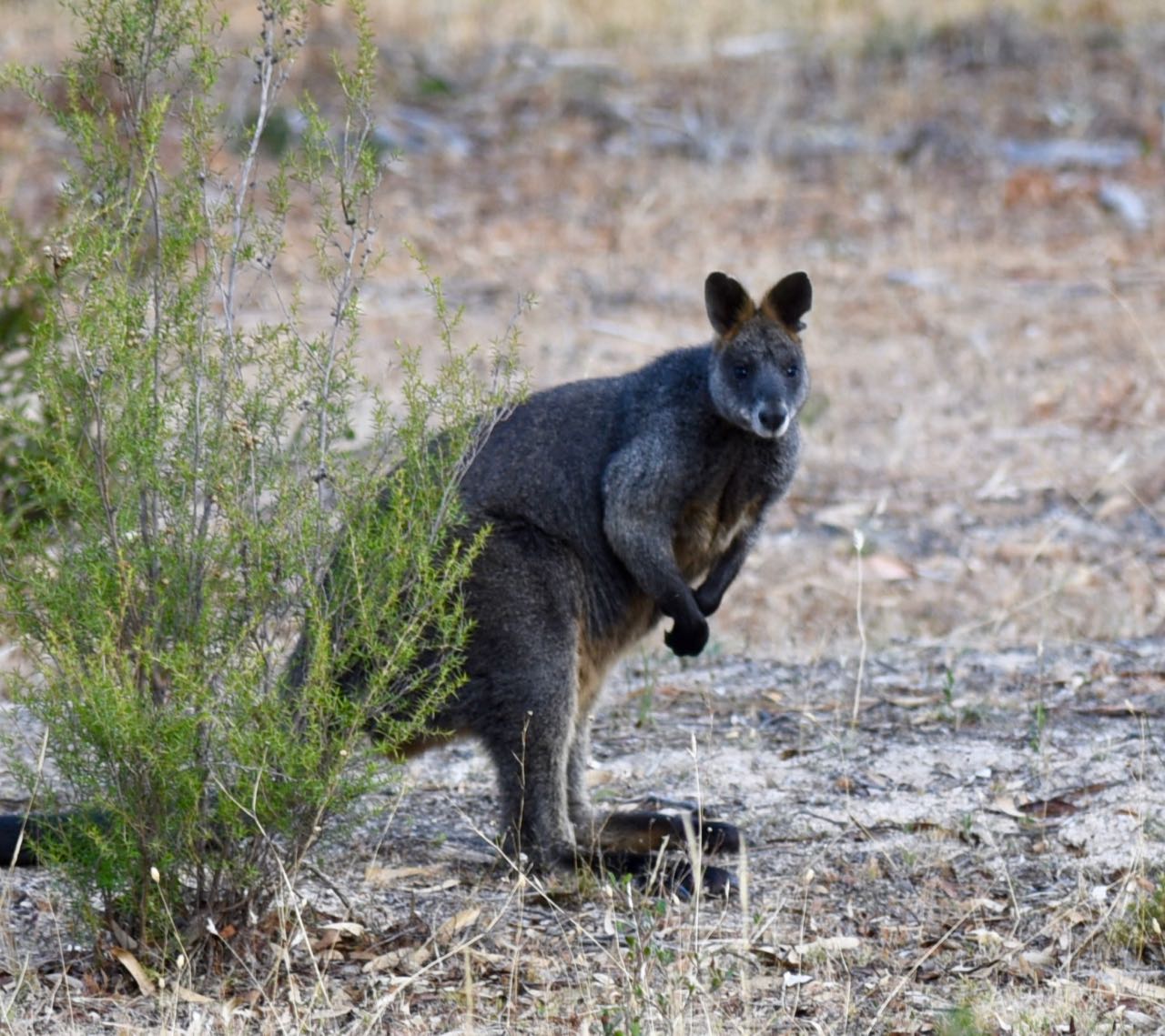
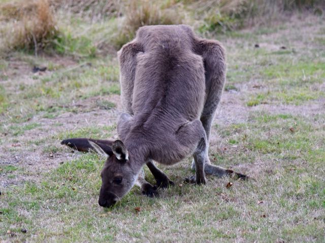
As we drove down along the track leading to the homestead, we saw a number of Western Grey kangaroos out for their late afternoon brunch. Western Greys are found across almost all of the entire southern part of Australia. They weigh between 28-54 kg and stand approximately 1.3 m tall.
There was a row of banksia trees along the driveway not far from the homestead and these were alive with various nectar feeding birds, including New Holland honeyeaters, Rainbow lorikeets, Musk lorikeets, and Red Wattlebirds.
We also had another small welcoming committee, a number of Galahs and Welcome Swallows.
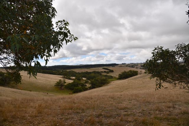
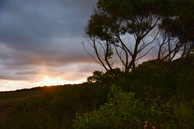
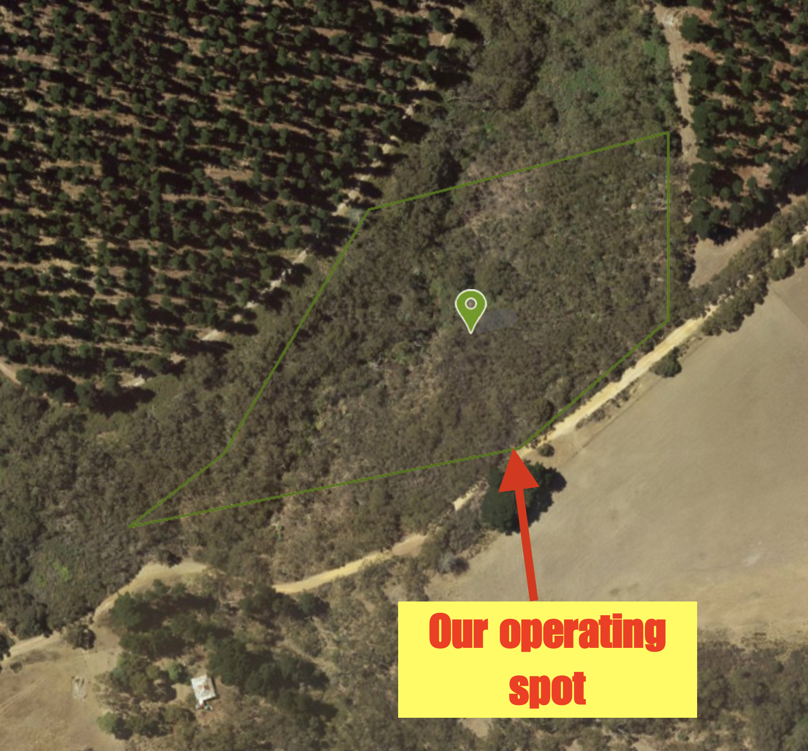
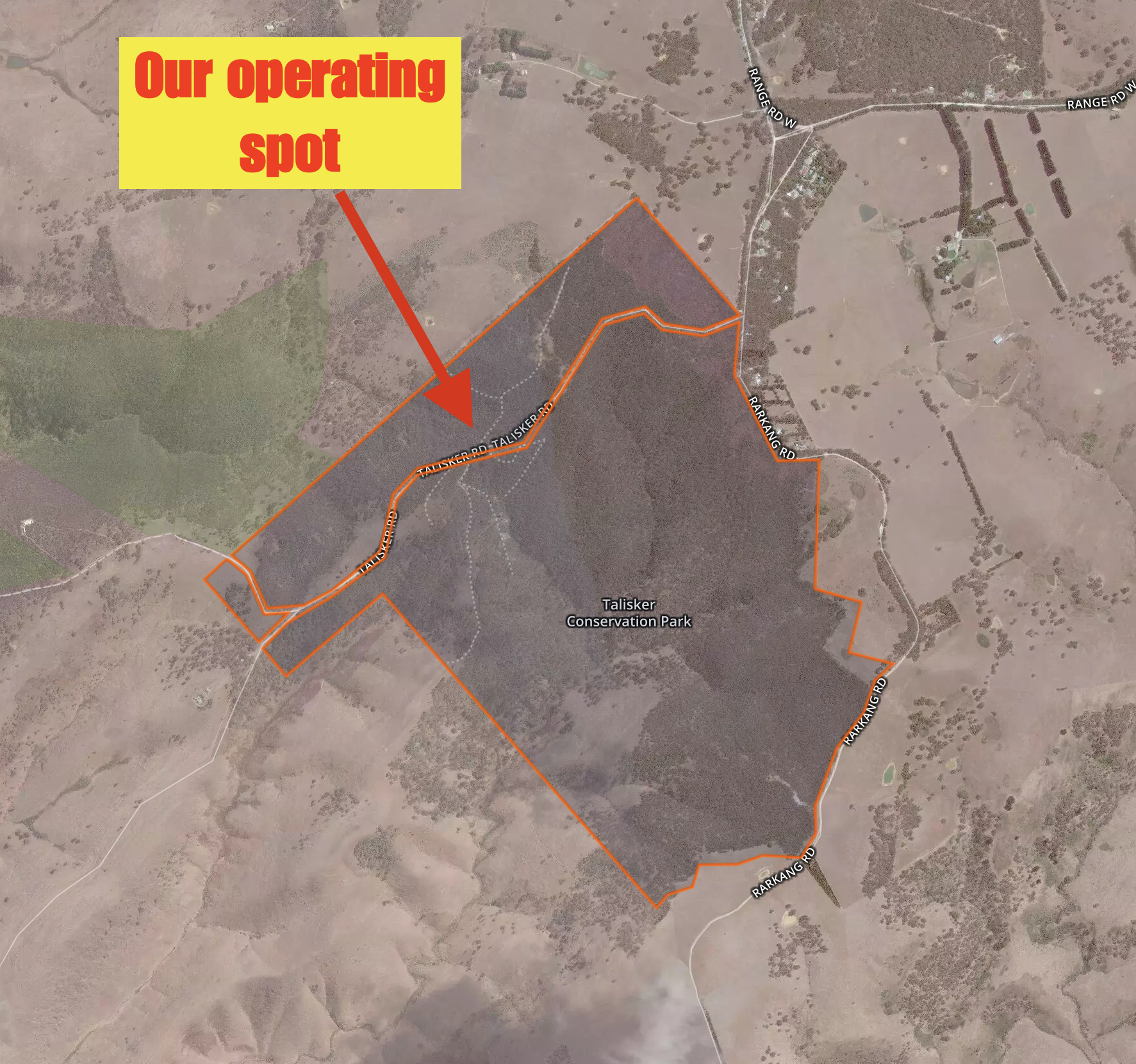
The homestead is located in the northern section of the park, in a gully a few km from the Southern Ocean. It is a nice secluded location surrounded by scrub and some cleared land.
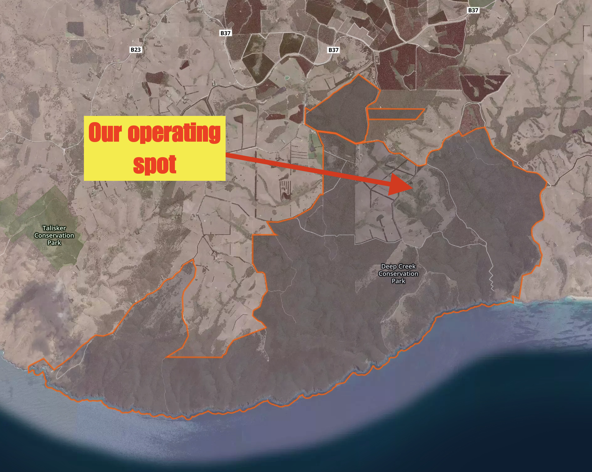
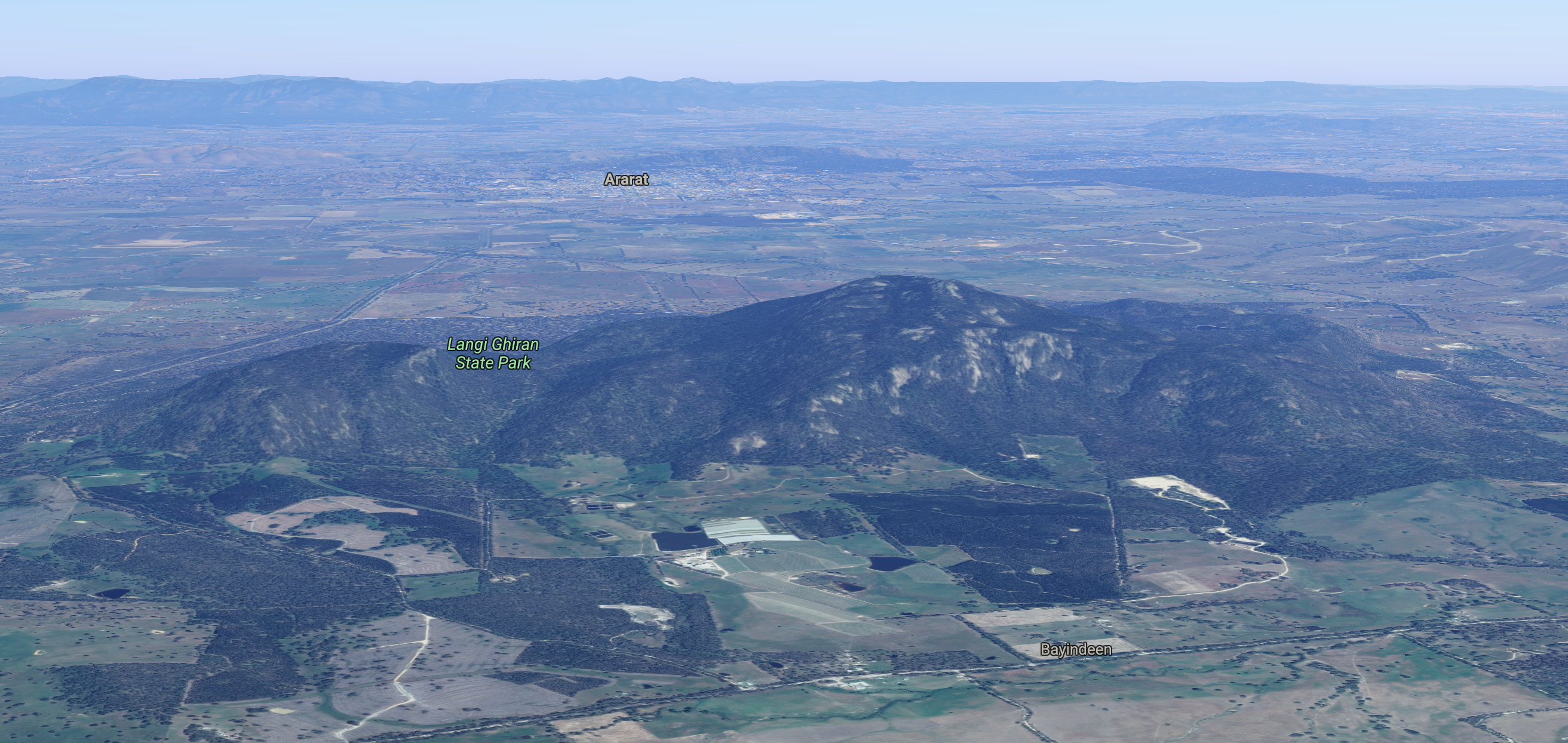
Above:- Aerial shot showing our operating spot within the Deep Creek Conservation Park. Image courtesy of Protected Planet.
In 1945 Dr. Goode purchased 5,000 acres of land to be known as Tapanappa, after the creek which runs in front of the homestead. His son Bill, a returned serviceman and his wife Yvonne took up residence in 1946 when the main portion of the current homestead was built. The jarrah floorboards came from the loft of Dr Goode’s garage on Jetty Road at Brighton. They raised 2 daughters, Susan and Cherrie on the property and the dining and master bedrooms were added during the early 1960’s as the family’s needs grew.
In 1971 Mr & Mrs Goode retired to Victor Harbor and the property was sold to the Mail family who used the land to run cattle with their 3 children. In 1974, National Parks and Wildlife placed an acquisition order on the property for inclusion into the Deep Creek Conservation Park. The surround land was leased to Jack Biddle for grazing while the property itself stood empty for the next 20 years.
In 1994, Southern Ocean Retreats took on the management of the property. Over the next 4 years, countless hours of time was spent on returning the homestead to its present state.
This slideshow requires JavaScript.
The area of Deep Creek Conservation Park lies within the lands traditionally associated with both the Ramindjeri and Kaurna aboriginal people. Settlement of areas in and around Deep Creek by European settlers occurred from the late 1850’s when farms were established. During the mid 1880’s land grants were given and apart from farming, land uses included wattle bark stripping and later during the depression years , Yacca gum was collected. From the 1920’s onwards, further settlement of the area occurred with a concentrated effort to clear land for farming. It was not until 1965 that the environmental significance of the Deep Creek area was recognised and the South Australian State Government commenced purchasing land to form what is now known as the Deep Creek Conservation Park.
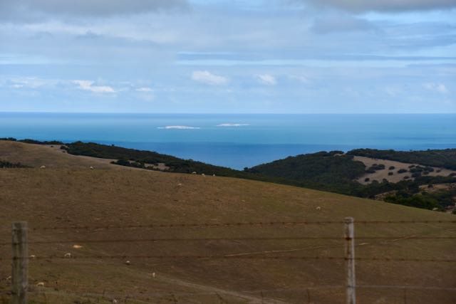
Deep Creek is 44.96 km2 in size and was established on 1st January 1971. It preserves the largest portion of remaining natural vegetation on the Fleurieu Peninsula. It provides some of the most scenic and challenging bushwalking areas in South Australia. The park contains 18 km of coastline with views out across the Southern Ocean, The Pages Islands, and Kangaroo Island. Over 380 species of native flora have been recorded in the park. A total of 32 of those are recorded as rare.
The park is home to over 100 species of bird, with at least 10 species being listed as vulnerable, including the Yellow Tailed Black Cockatoo. About 11 species of native mammal can be found in the park including the Western Grey Kangaroo, Short-beakced Echidna, Yellow-Footed Antechinus, and the Southern Brown Bandicoot.
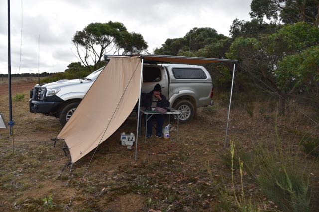
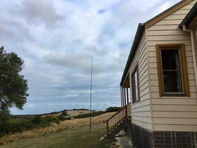
After unpacking the vehicle and settling in, I then set up the amateur radio station, comprising the Yaesu FT-857d, 40 watts output, and the 80/40/20m linked dipole, supported on the 7 metre heavy duty telescopic squid pole. I operated from the decking outside of the living area of the homestead. I was pleasantly surprised to hear NO man made noise when I turned on the transceiver. BEAUTIFUL!
I was all set up and ready to go by 0710 UTC (5.40 p.m. South Australian local time). I tuned across the 40m band and found TI2CDA in Costa Rica working Europe and North America on 7.150. I gave him a call, but sadly I was unable to break the pile up. It was a shame, as that would have been a new DXCC entity for me whilst operating portable.
Unfortunately there was no phone coverage, so I was unable to spot on parksnpeaks. The 40m band was quite busy, with lots of VK and European activity, so my preferred frequency of 7.144 was unavailable. I found 7.135 clear and I started calling CQ. First caller was Peter VK3PF who was portable in the Port Phillip Heads Marine National Park VKFF-0954, with a terrific 5/9 signal. Marija was keen to also log Peter as a Park to Park contact. This was a nice way to start the activation with a Park to Park.
A number of the ‘usual suspects’ followed, including Jonathan VK7JON, Ian VK1DI, and Peter VK3TKK mobile. Much to my surprise, I was then called by Narcisco IZ1JMN in Italy who was a sold 5/8 into Deep Creek. Six QSOs later, I logged Filipe CT1EXS in Portugal who also had a strong 5/8 signal into the park. It was a real thrill to be able to log a few European stations on 40m with relatively low power and a piece of wire.
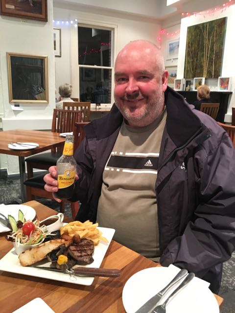
Marija was kind enough to bring me my tea and I had that between overs. A nice meal of sausages, beef patties and salad. I went on to work 41 stations on 7.135. Stations logged were from VK1, VK2, VK3, VK4, VK5, VK6, VK7, New Zealand, Portugal, USA, Canada, and Italy. It was nice to log Oliver ZL1XS from New Zealand, who has become a regular park hunter. My other DX contacts were with Steve VE6WZ who was operating remote. Steve was using his station in Canada, whilst sitting in a hotel room in Perth. Steve’s station in Canada consisted of a 2 element yagi @ 100 feet and 1 KW. No wonder he was 5/9. I also spoke with Mark AF6TC in California with a huge 5/9 plus signal.
It was starting to get dark, with the time being just after 0900 UTC. It wasn’t getting any warmer either. The temeperature had dropped to 13 deg C. I suspected I had left my run on 20m a little too late. But I lowered the squid pole and removed the links and headed up to 14.310 and started calling CQ. Sadly 5 minutes of CQ calls went unanswered. This wasn’t help by the fact that I couldn’t self spot due to no phone coverage. So feeling a little disappointed I tuned across the 20m band and did not hear a single European signal coming in on the long path. My only contact on 20m was with Tack JE1RXJ in Japan, who 5/9 +, and was running 1 KW into a 4 element tribander @ 20 metres.
I then headed off to 80m hoping to log a few of the South Australian park hunters. Close in propagation on 40m was very poor, with just 1 VK5 logged, Shaun VK5FAKV in the Riverland region. I called CQ on 3.610 and this was answered by Phil VK5FILL who was 5/9 ++ from the southern suburbs of Adelaide. This was followed by Erwin VK3ERW, Phil VK2HPN mobile, and then Bill VK4FW. I worked a further 8 stations on 80m from VK2, VK3, VK4, and VK5.
It was now after 1000 UTC (8.30 p.m. local time) and it was pitch black. I headed back to 40m and booked in to the 7130 DX Net, where I worked a total of 8 stations from VK2, VK7, French Polynesia, New Zealand, and USA. This included Ed NT2X in New York, and John KT6E in Calafornia.
At the conclusion of the net I moved up to 7.135 and called CQ. This was answered by Keiran VK2QK, followed by Robert VK2XXM, and then Greg VK8GM in Alice Springs. Thankyou to Bill VK4FW who also came up to say hi again, and was kind enough to spot me on parksnpeaks. These spots go direct to the cluster, and I am sure that this resulted in the DX contacts that followed. I logged Bill W1OW in Massachusetts USA, Nenad VE3EXY in Ontario Canada, and then Mike KA5PNX in Nebraska USA. Sadly a combination of the Over the Horizon Radar and an operator I suspect from Indonesia or Malaysia causing me QRM, forced my hand to move from the frequency.
It was now 10.00 p.m. local time and I was feeling a little weary, but I decided to have one last listen on 80m before going QRT for the day. The temeperature had now dropped down to 10 deg C. I called CQ on 3.610 and this was answered by Roger VK3SB, followed by Peter VK3FICE. It was Peter’s first ever time on HF radio. Welcome Peter. I worked a further 4 stations from VK3 and VK5, before calling it a night.
I worked the following stations on 40m SSB:-
- VK3PF/p (Port Phillip Heads Marine National Park VKFF-0954)
- VK7JON
- VK1DI
- VK2VKB
- VK3TKK/m
- VK4NH
- VK3KRH
- VK2EJH
- VK3QA
- VK7DW
- IZ1JMN
- VK3APA/m
- VK2KJJ
- VK3FOGY
- VK4FW
- VK4SMA
- CT1EXS
- VK3BFR
- VK4PDX
- VK3SFG
- VK3GH
- ZL1XS
- VK4HNS
- VK6JRC
- VE6WZ
- VK4FILS
- VK4WJW
- VK3FCMC
- VK3CIB
- VK3FORD
- VK3ARH
- VK3UCD
- VK3MAB
- VK5FAKV
- AF6TC
- VK2ND
- VK2/WA6EWI
- VK3FSLG
- VK3TL
- VK3FSPG
- VK3MPR
- VK7ROY
- NT2X
- FO5JV
- ZL2ASH
- KT6E
- VK7VZ
- VK7PRN
- VK2SMS
- VK2QK
- VK2XXM
- VK8GM
- W1OW
- VE3EXY
- KA5PNX
I worked the following stations on 20m SSB:-
- JE1RXJ
I worked the following stations on 80m SSB:-
- VK5FILL
- VK3ERW
- VK2HPN/m
- VK4FW
- VK4QD/p
- VK2SR
- VK3HRA
- VK3FROD
- VK3VIN
- VK5FANA
- VK3FNQS
- VK5HYZ
- VK3SB
- VK3FICE
- VK3HBG
- VK3CAH
- VK3JUG/m
- VK5NM
References
Department for Environment and Heritage, 2004, ‘Bushwalking in Deep Creek Conservation Park’
Wikipedia, 2017, <https://en.wikipedia.org/wiki/Fleurieu_Peninsula>, viewed 3rd April 2017
Wikipedia, 2017, <https://en.wikipedia.org/wiki/Western_grey_kangaroo>, viewed 3rd April 2017